Grand Canyon National Park
South Rim to Phantom Ranch to South Rim
April 2001
|
Grand Canyon National Park South Rim to Phantom Ranch to South Rim April 2001 |
|
I had a temporary duty assignment for the Air Force to Las Vegas for a week, and after I had finished work, I extended my trip for several days to go hike the Grand Canyon. I had taken along my backpack and camping gear with this trip in mind. While in Las Vegas, I visited Death Valley and Red Rocks.
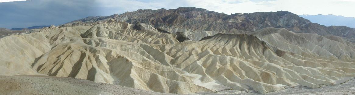
Zabriskie Point, Death Valley National Park

Badwater, Death Valley National Park

Dante's View, Death Valley National Park

Stovepipe Wells, Death Valley National Park
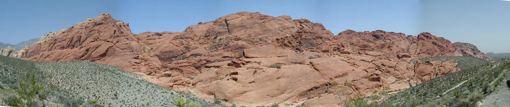
Red Rocks, Las Vegas
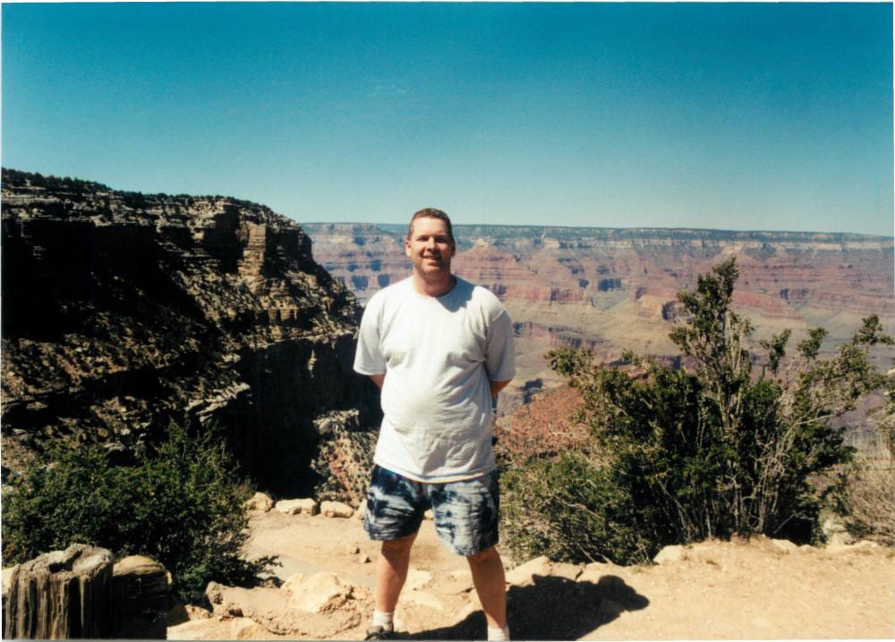
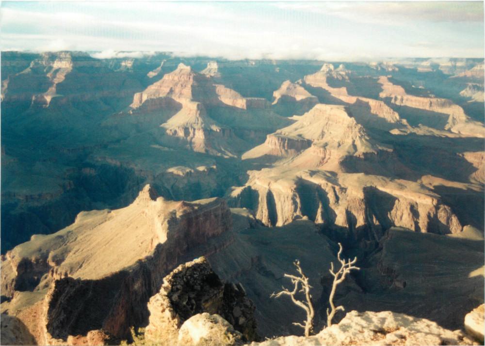
Grand Canyon
This was my first trip to the Grand Canyon with a digital camera - it was an Olympus D450 1.3 MP (!) with a 32 MB SmartMedia card (!!). It did take very good photos for a digital camera in 2001. I shot back a forth with the digital camera and my Nikon FE2 SLR, so the photos on this page are a mix from both cameras. All the panoramas are joined digital photos. I drove from Las Vegas to the South Rim after my last day of work, arriving late in the day. I spent the first two nights at Bright Angel Lodge.
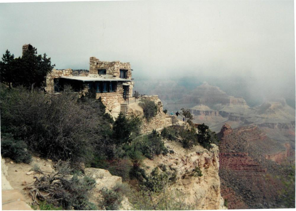
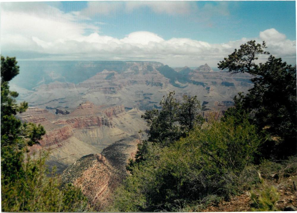
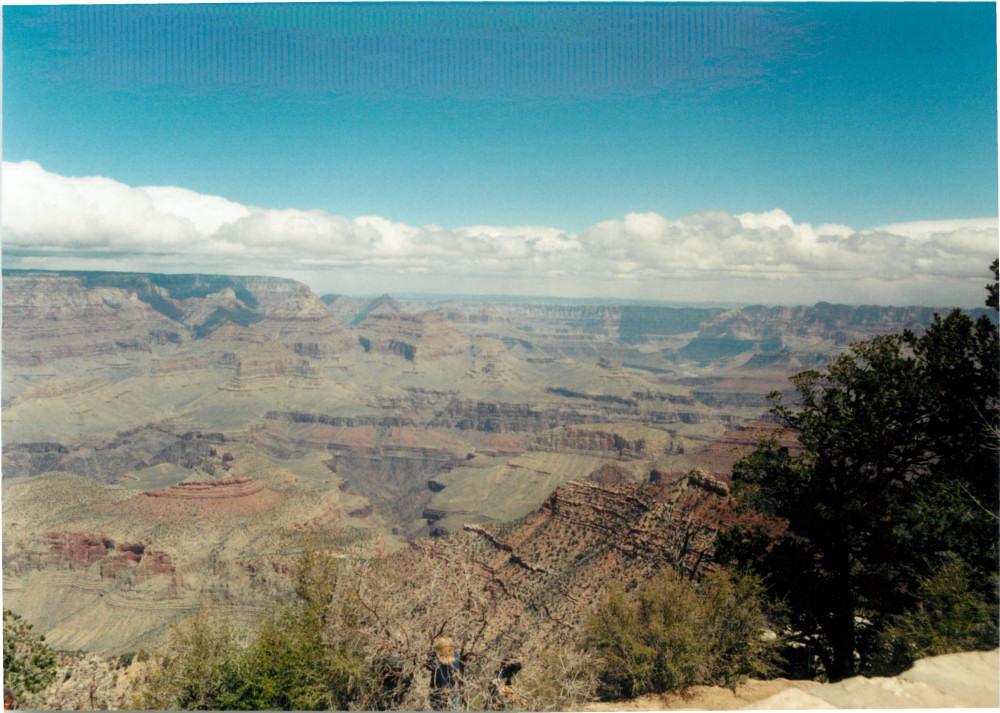
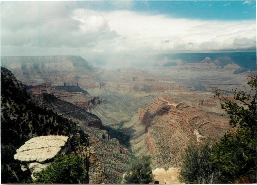
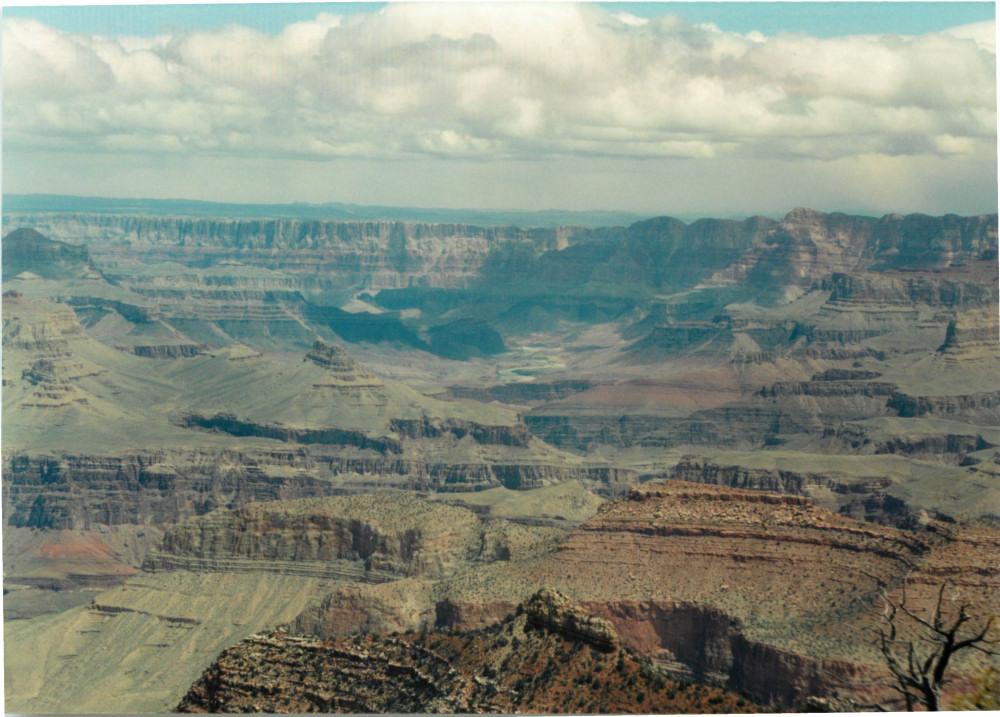
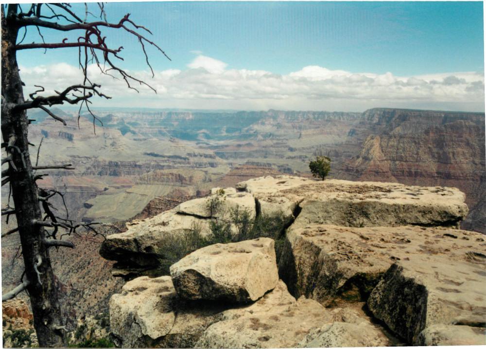
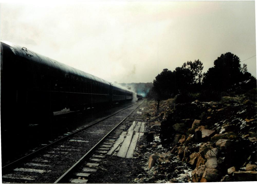
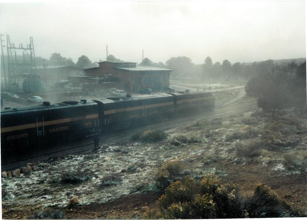
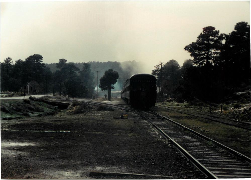
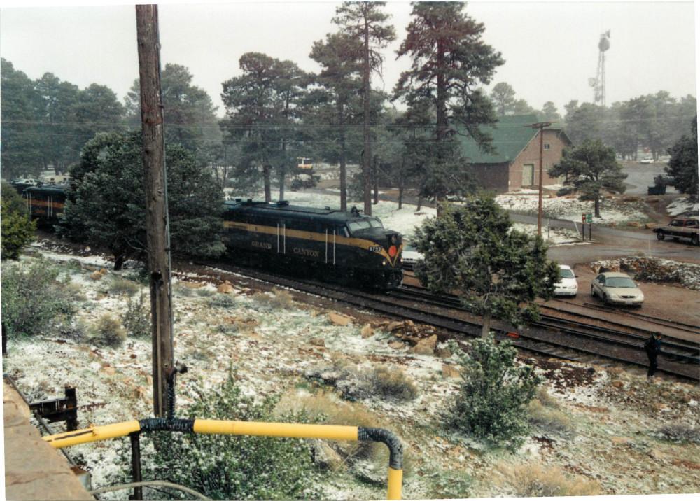
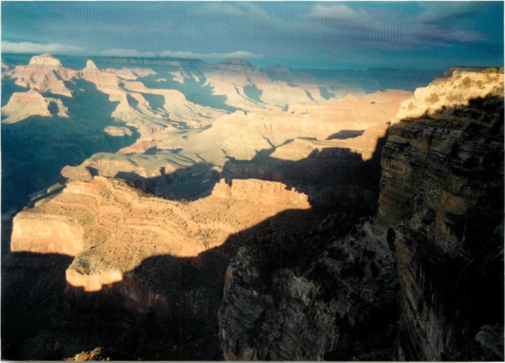
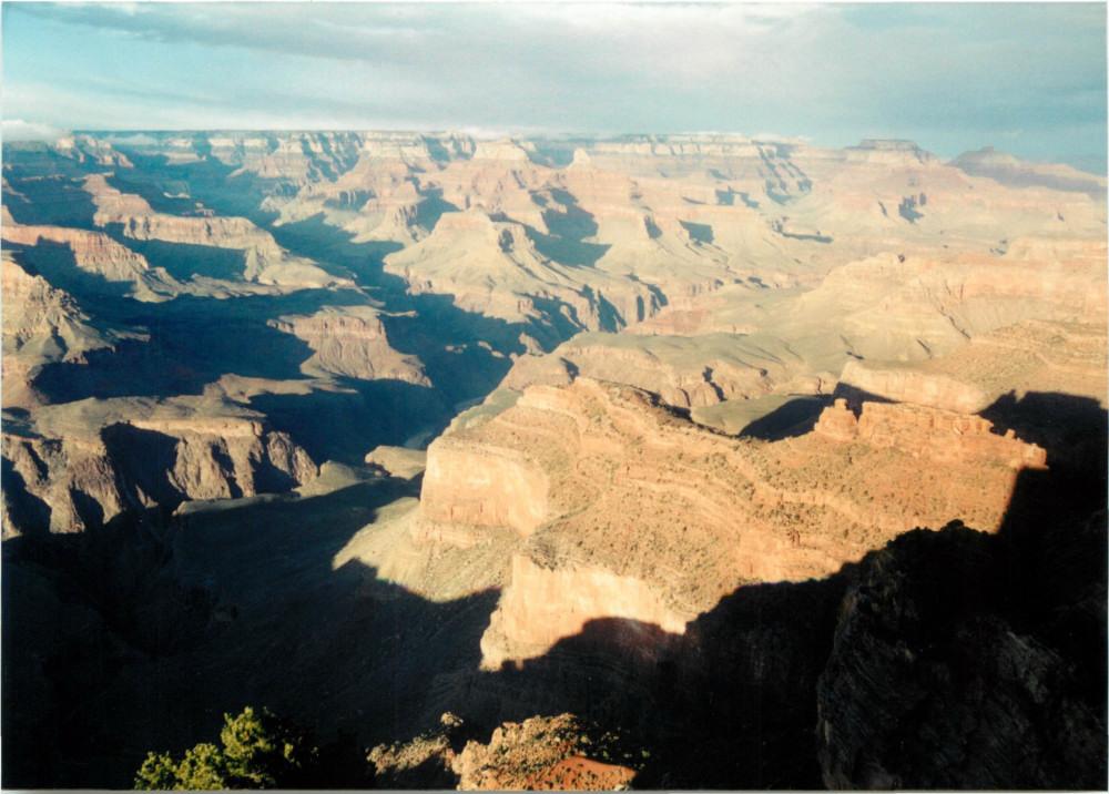
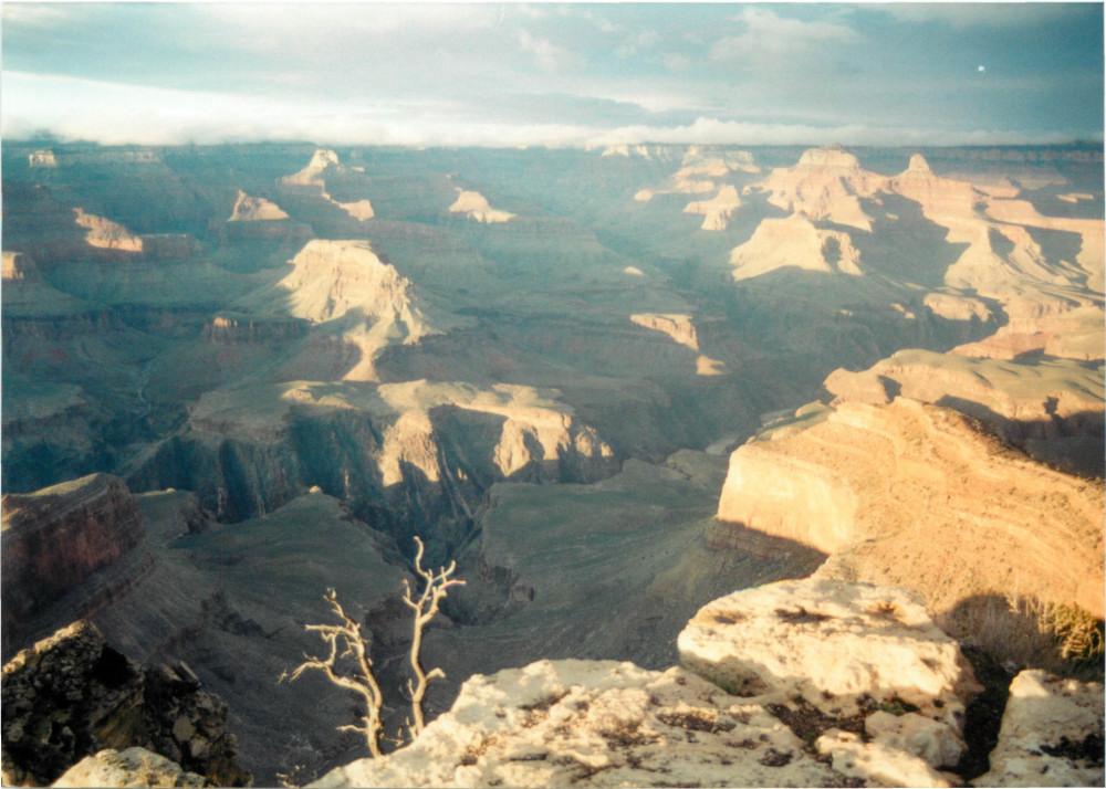
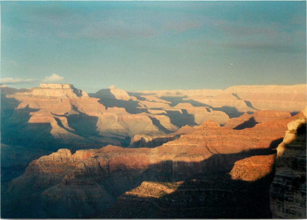
Day 1 : I got up early and went to the back-country office to get reservations for Bright Angel and Indian Garden campgrounds. I had to wait a day for the reservations, so I had a day on the South Rim. I went east to Grandview Point, and then returned to the West Rim Drive to watch sunset from Hopi Point. Even in April there was some snow at the South Rim. The train from Williams was pulling out as I returned to the South Rim Village from Grandview Point.
|
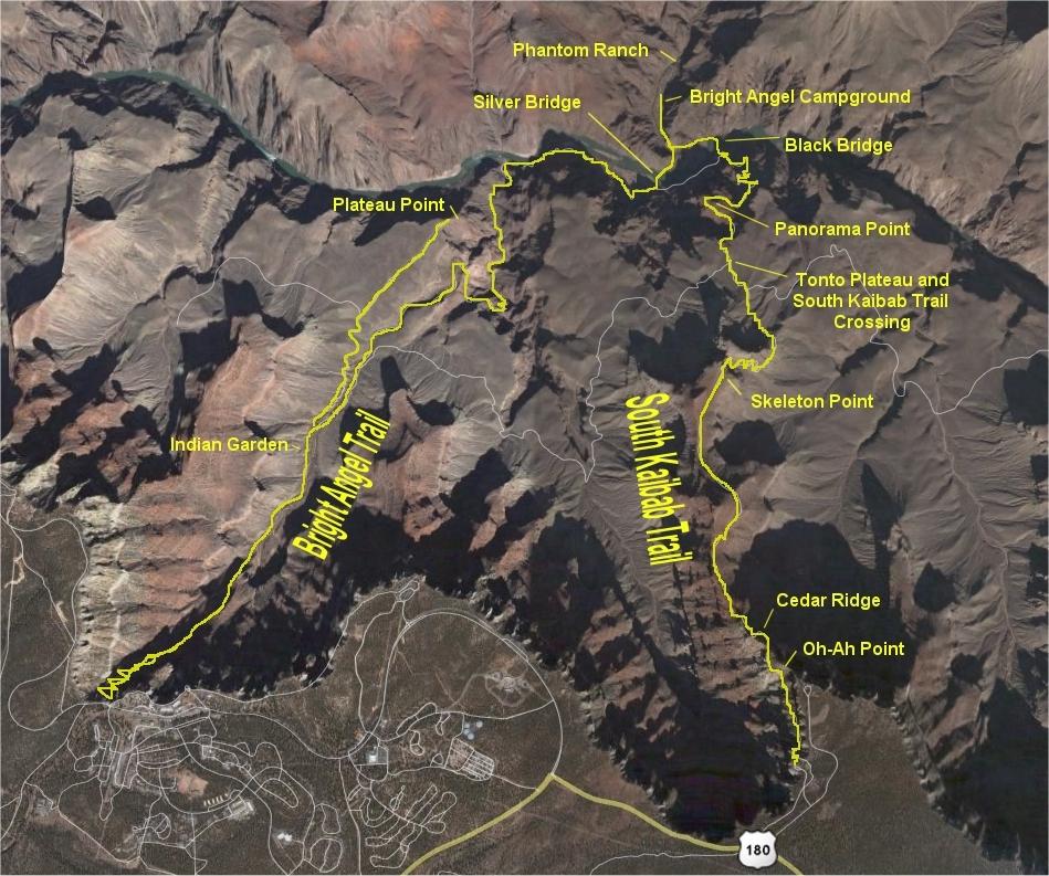
This hike was through the Corridor from the South Rim; down the South Kaibab Trail to Bright Angel campground and Phantom Ranch, and then back up the Bright Angel Trail to Indian Garden campground, and then to the South Rim Village. This map to the right shows these two main trails and some of the main points of interest along each trail. |
 |
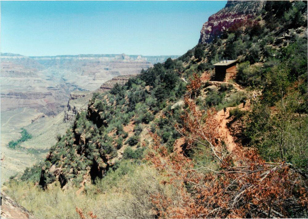
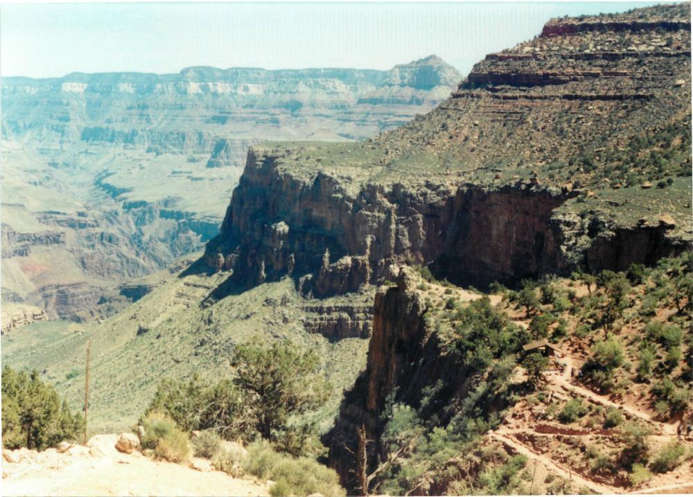
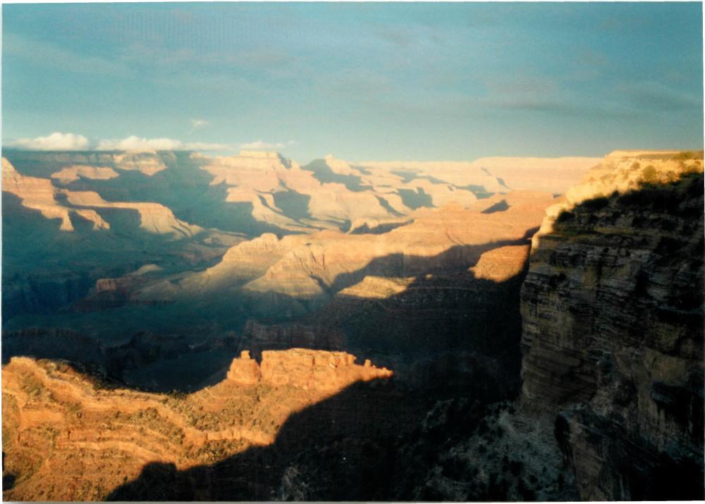
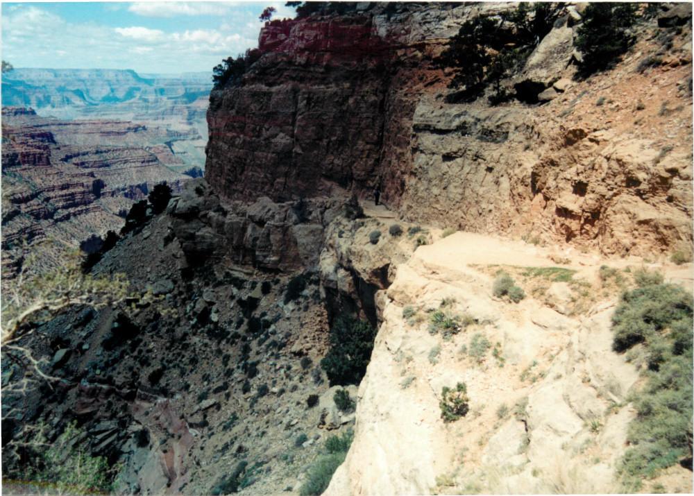
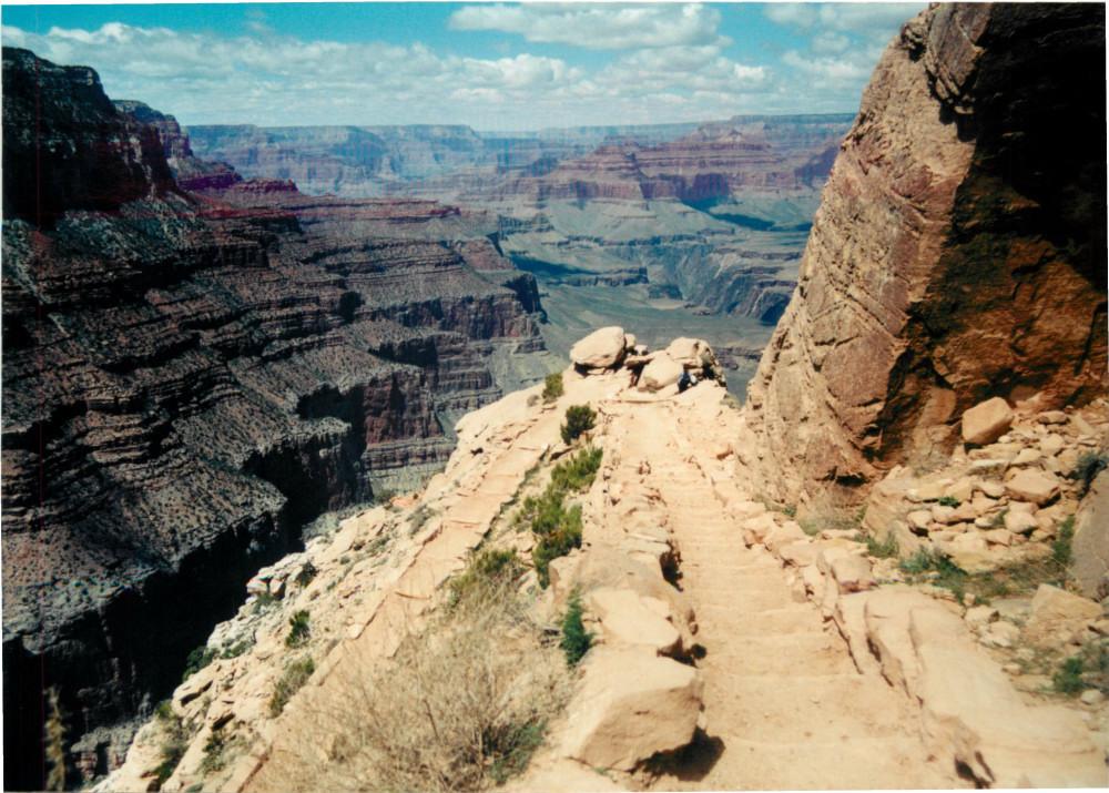
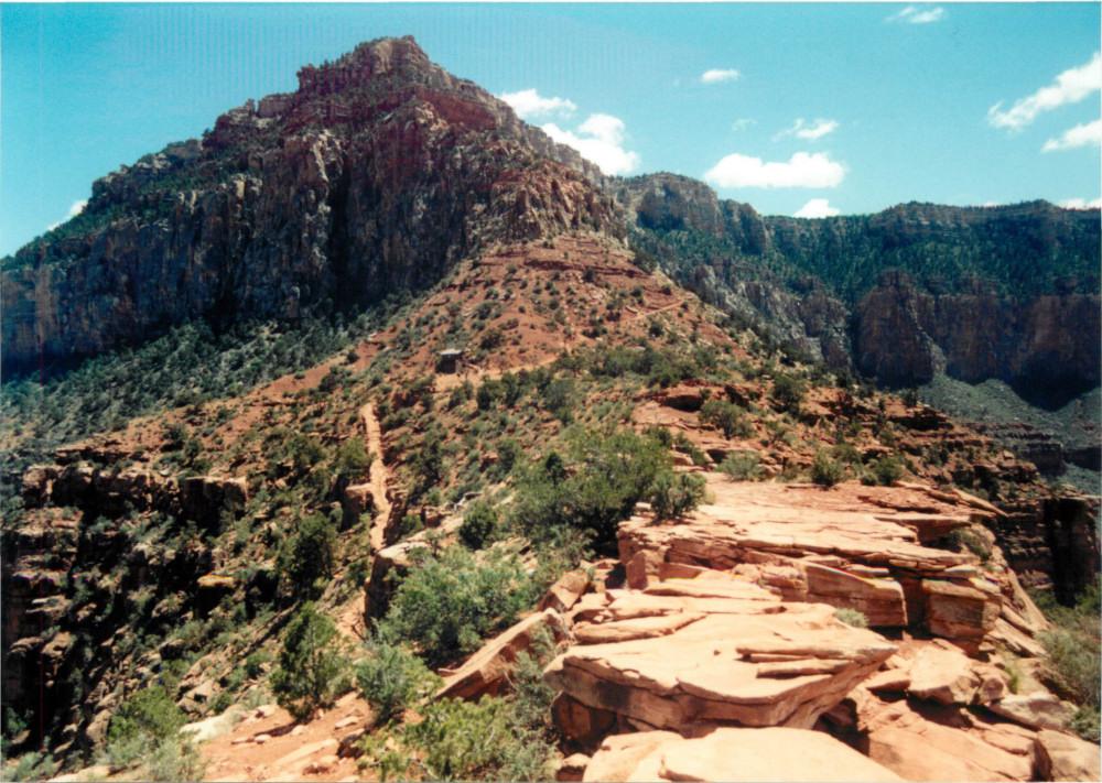
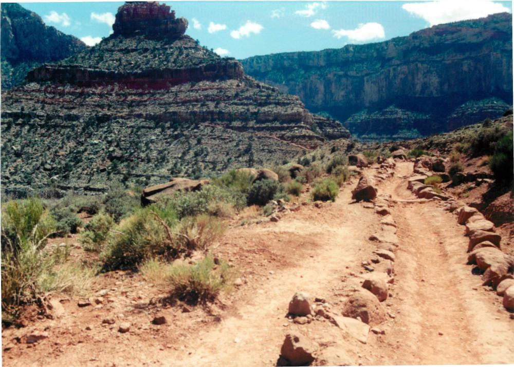
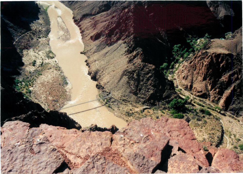
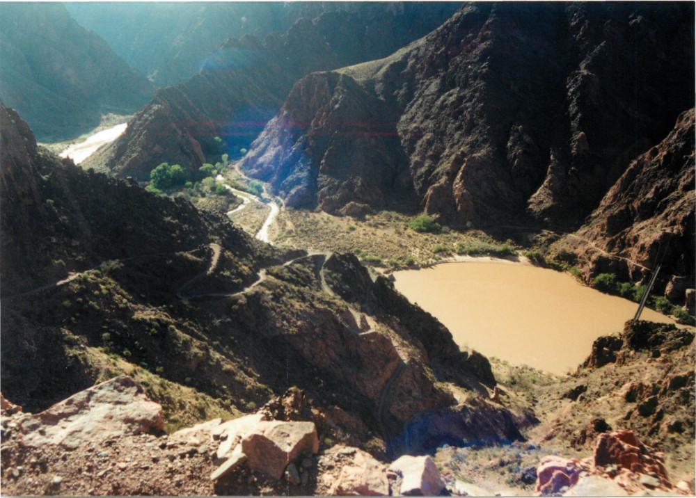
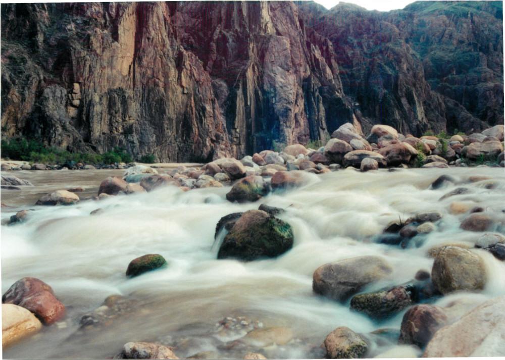
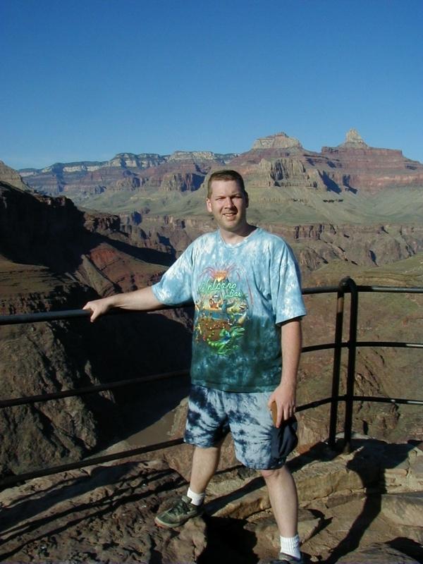
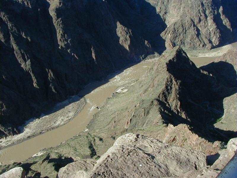
Day 2 : After a good nights sleep at Bright Angel Lodge, I took the shuttle over to the trailhead for the South Kaibab Trail and began my hike in. The first section of the trail drops down below Yaki Point and reaches Cedar Ridge. This is a good turn-around point for day-hikers. The trail then continues to descend and crosses O'Neill Butte, before dropping steeply down to the Tonto Plateau on switchbacks that start at Skeleton Point. The South Kaibab Trail meets the Tonto Plateau Trail at this point. I had hiked the Tonto Plateau Trail from this spot over to Indian Garden in 1994 with my nephew. That was a VERY long, extremely hot day. Fortunately, I was not heading across the plateau on this day, so I continued past the Tip-Off and into the inner gorge. I stopped for a few pictures at Panorama Point, and finally crossed the Black Bridge over the Colorado River. After reaching Bright Angel campground and setting up my tent, I took a walk down to the Colorado River, next to where Bright Angel Creek flows into the river.

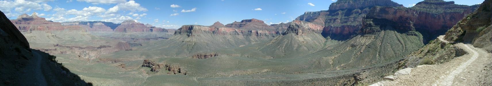
Cedar Ridge panorama

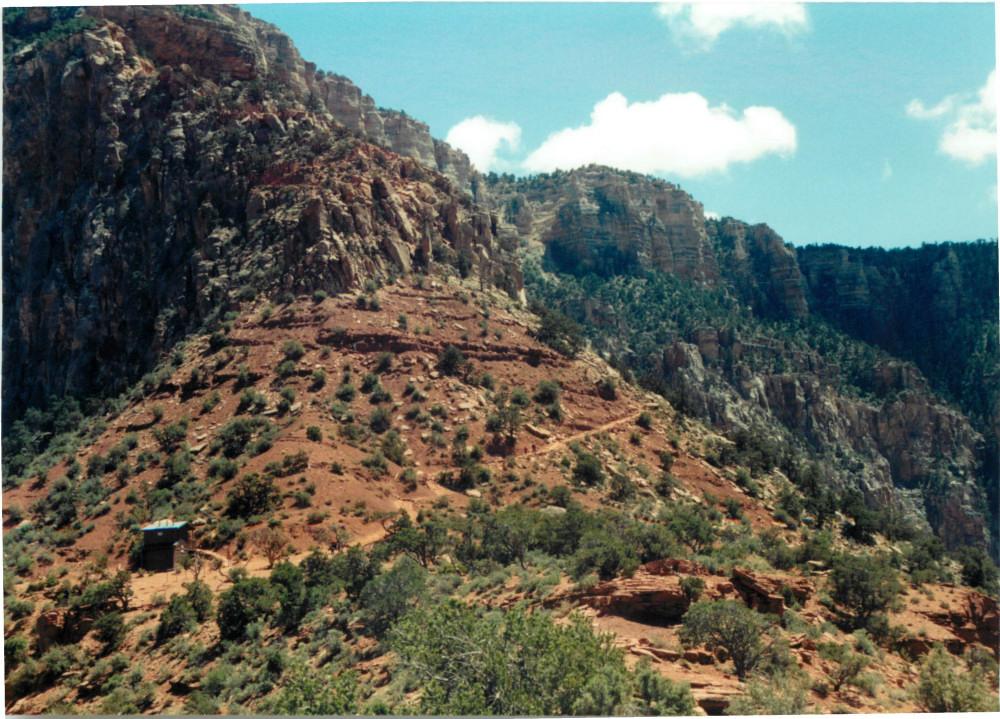
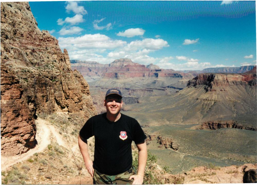

South Kaibab Trail and Tonto Plateau Trail junction

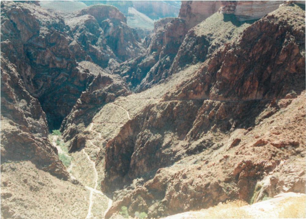
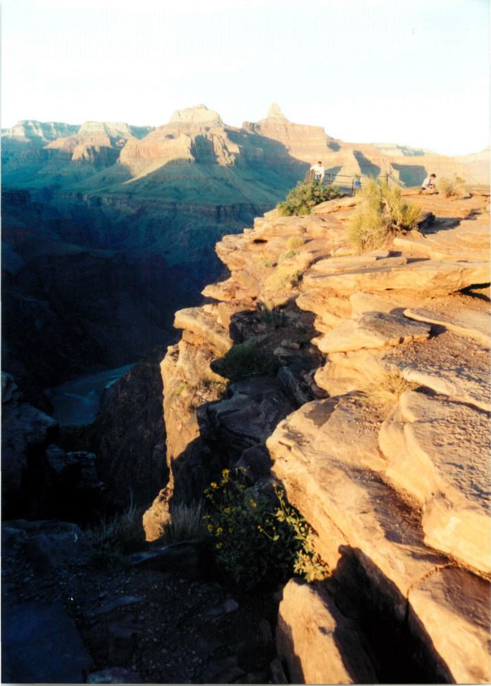
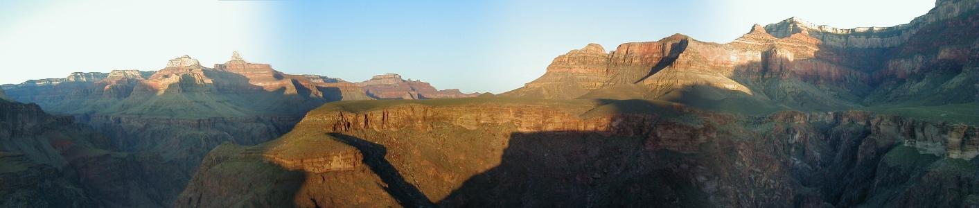
Panorama Point
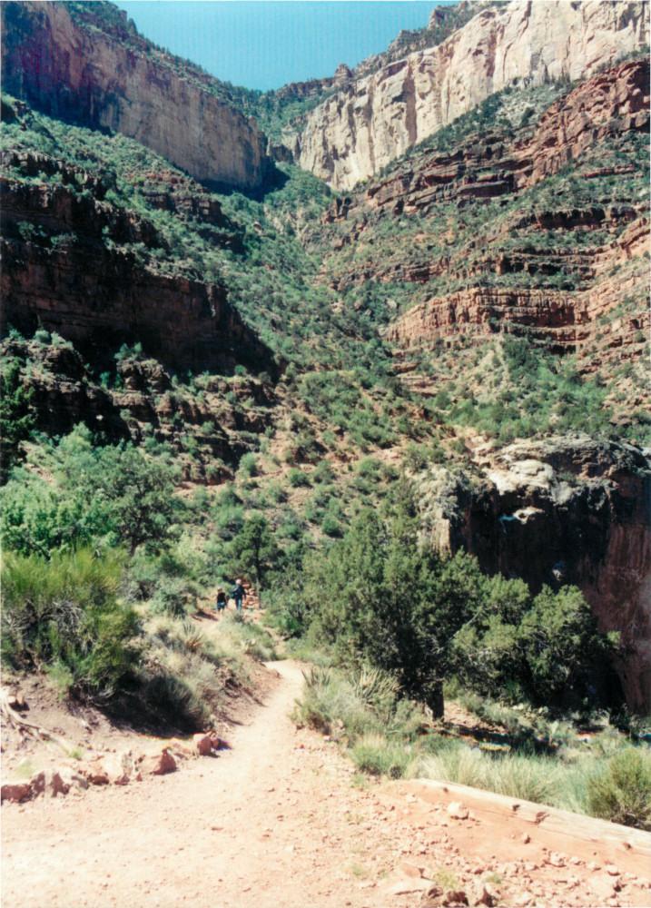
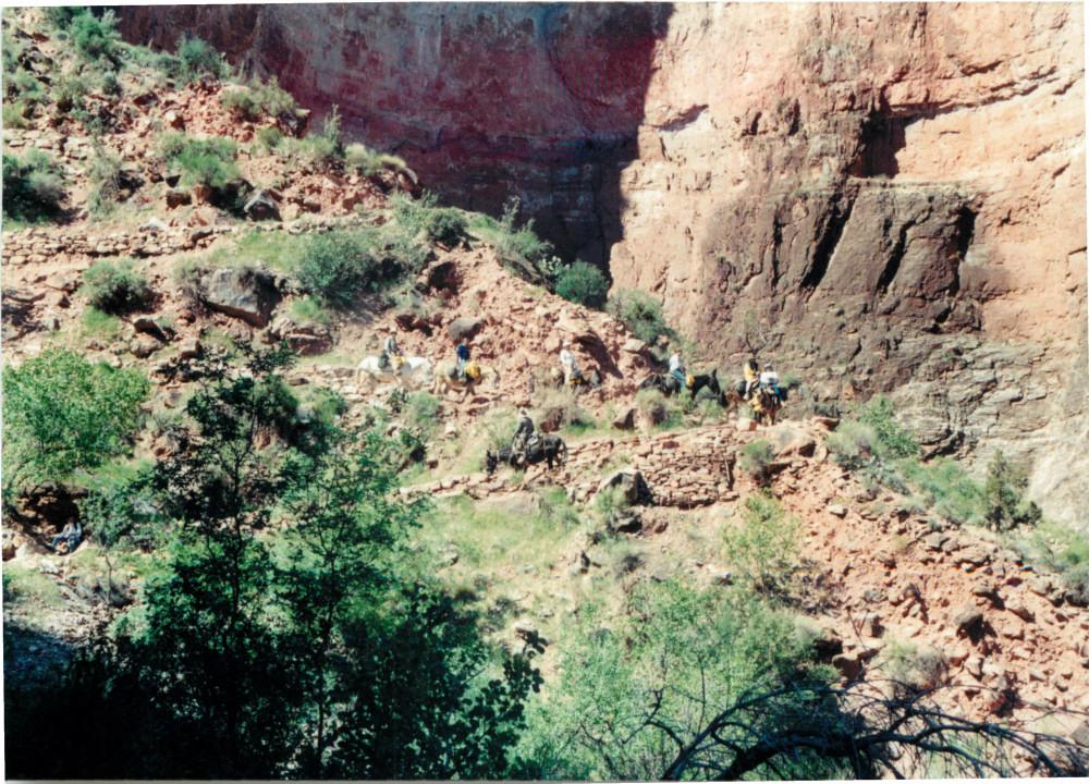
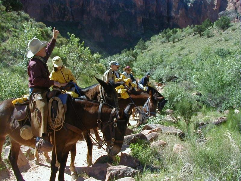
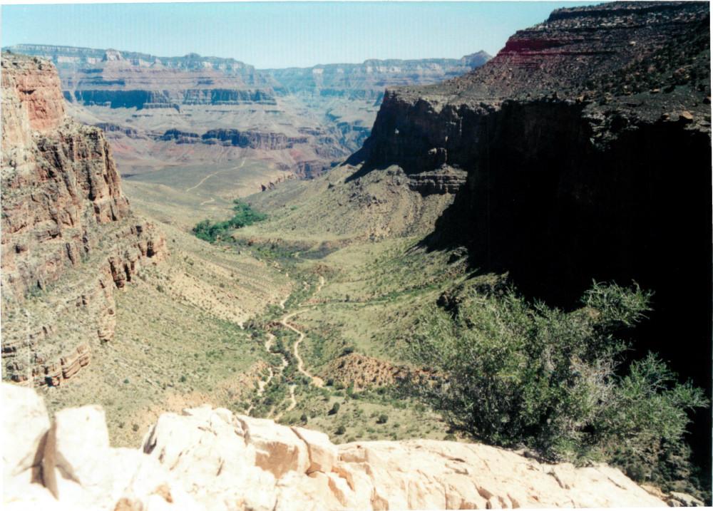
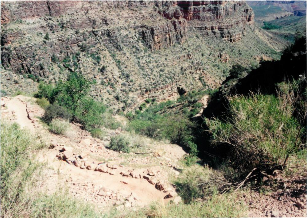
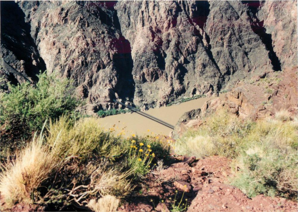
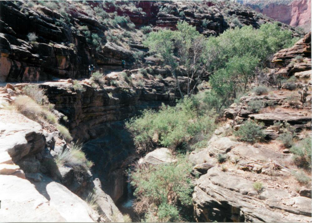
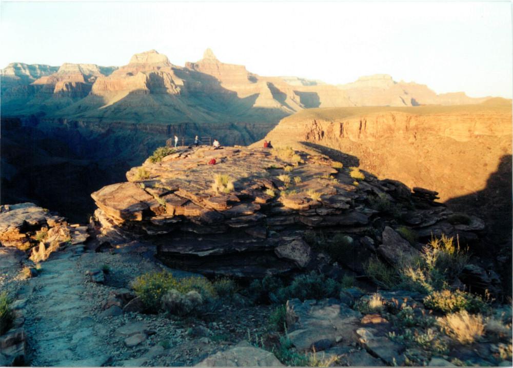
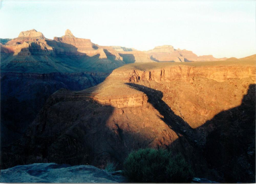
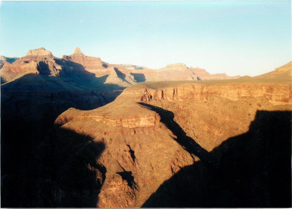
Day 3 : The next morning, I had breakfast at the Phantom Ranch canteen and began my hike to Indian Garden. This hike begins with a trip across the Silver Bridge, along the River Trail for a few miles, and then up through Pipe Creek Canyon and the Devils Corkscrew switchbacks, through the Tapeats sandstone formation, and onto the Tonto Plateau. After setting up camp and eating dinner, I hiked out to Plateau Point for sunset.

Silver Bridge panorama
Day 4 : The final climb rises from Indian Garden back to the South Rim, a vertical gain of 3000 ft over about four and half miles. As soon as I hiked out, I had to drive back to Las Vegas and catch a red-eye flight home to get back to work the next day.