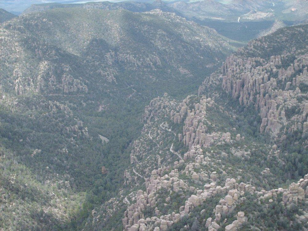
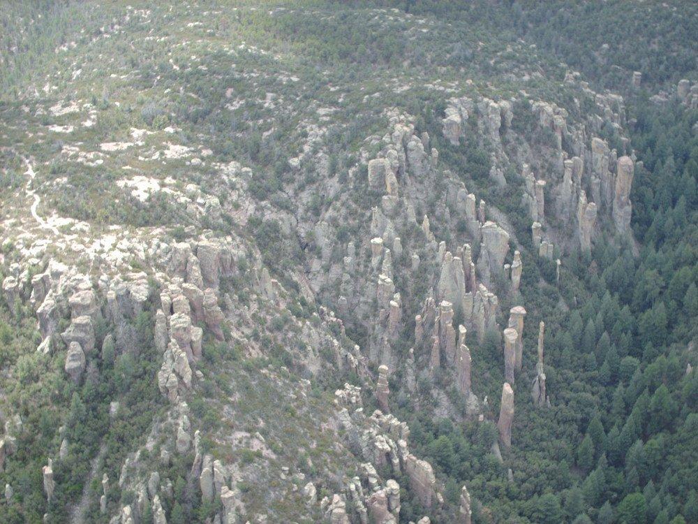
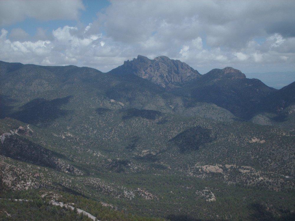
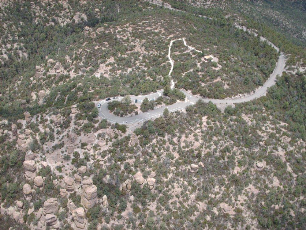
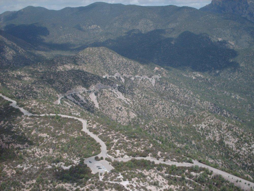
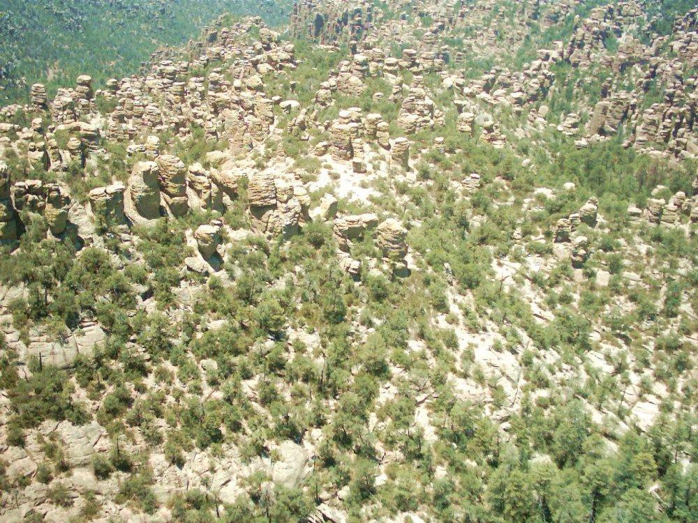
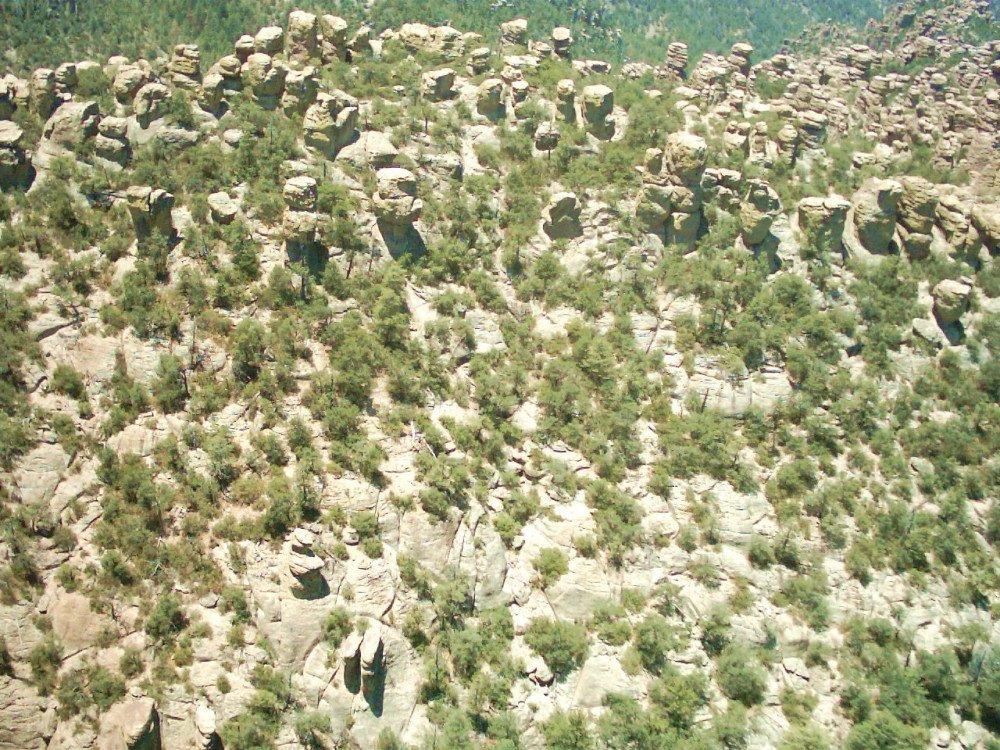
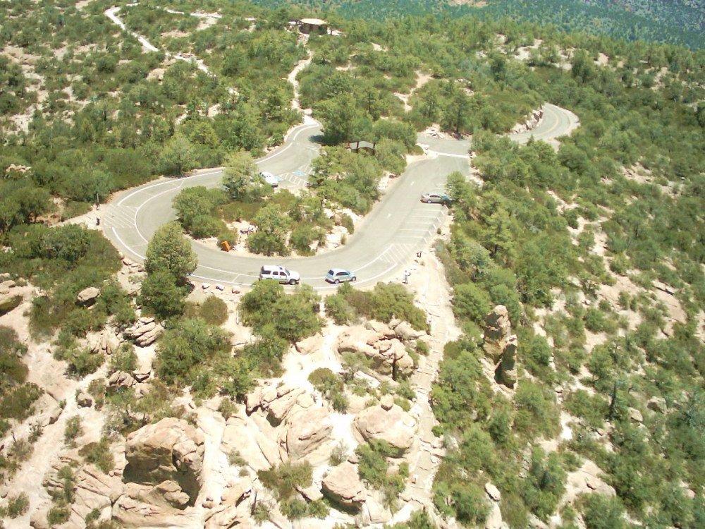
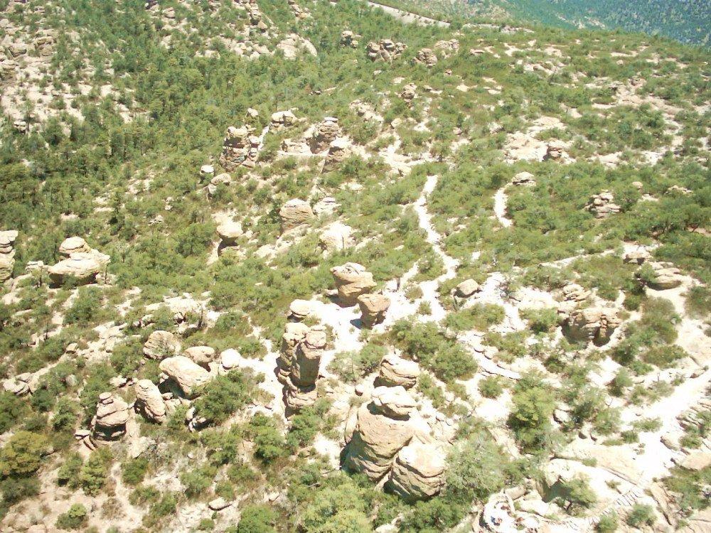
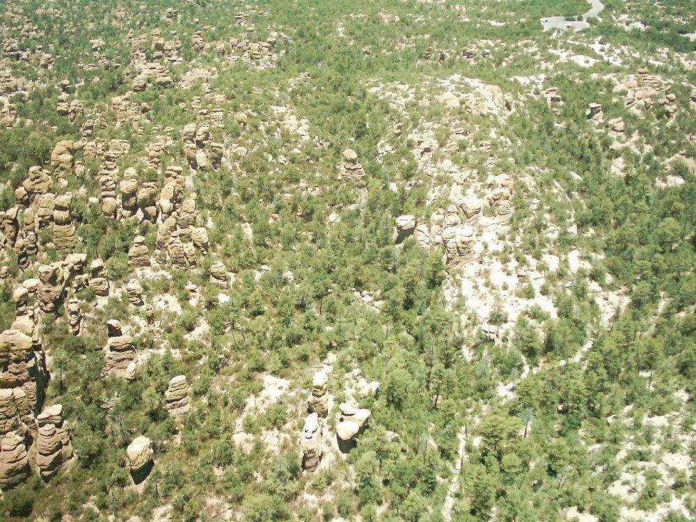
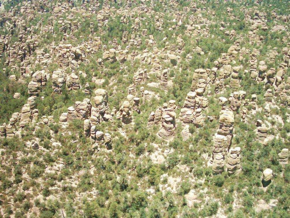
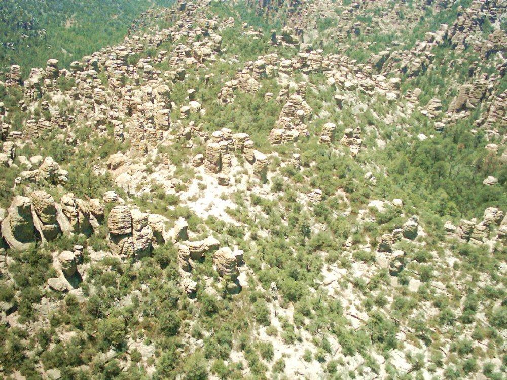
Chiricahua National Monument and Ft Bowie National Historic Site, Arizona
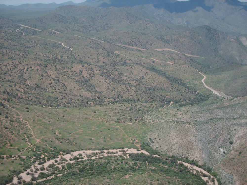
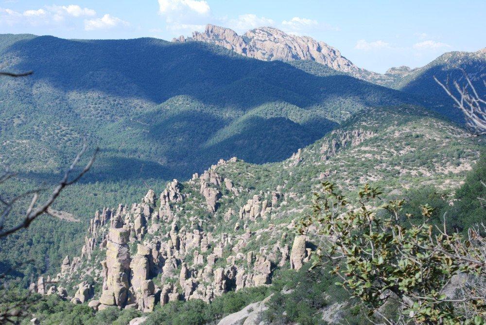
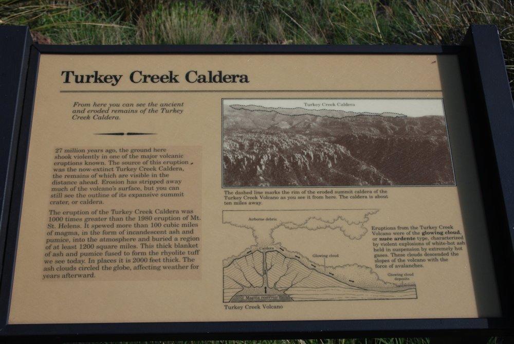
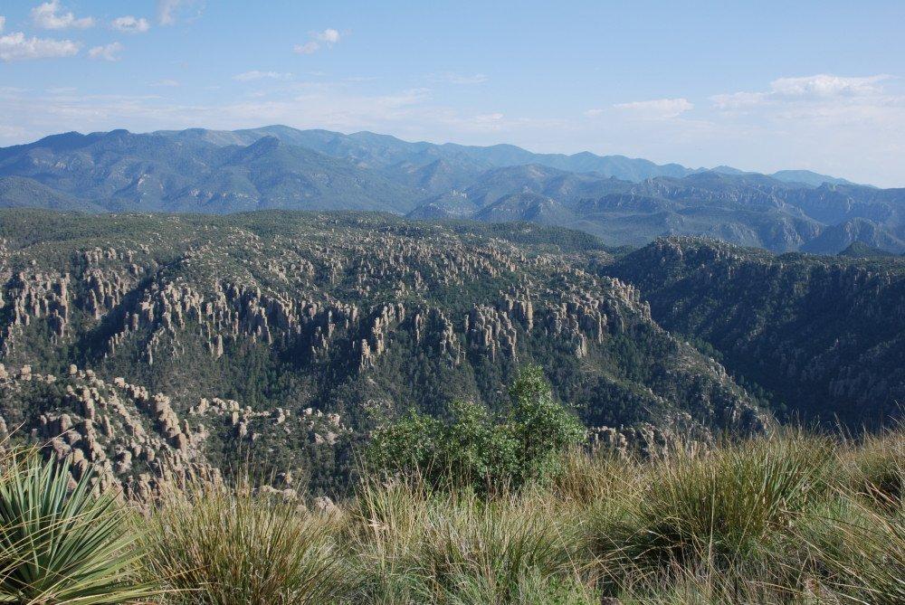
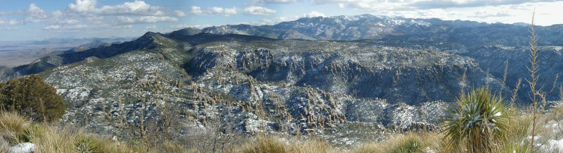
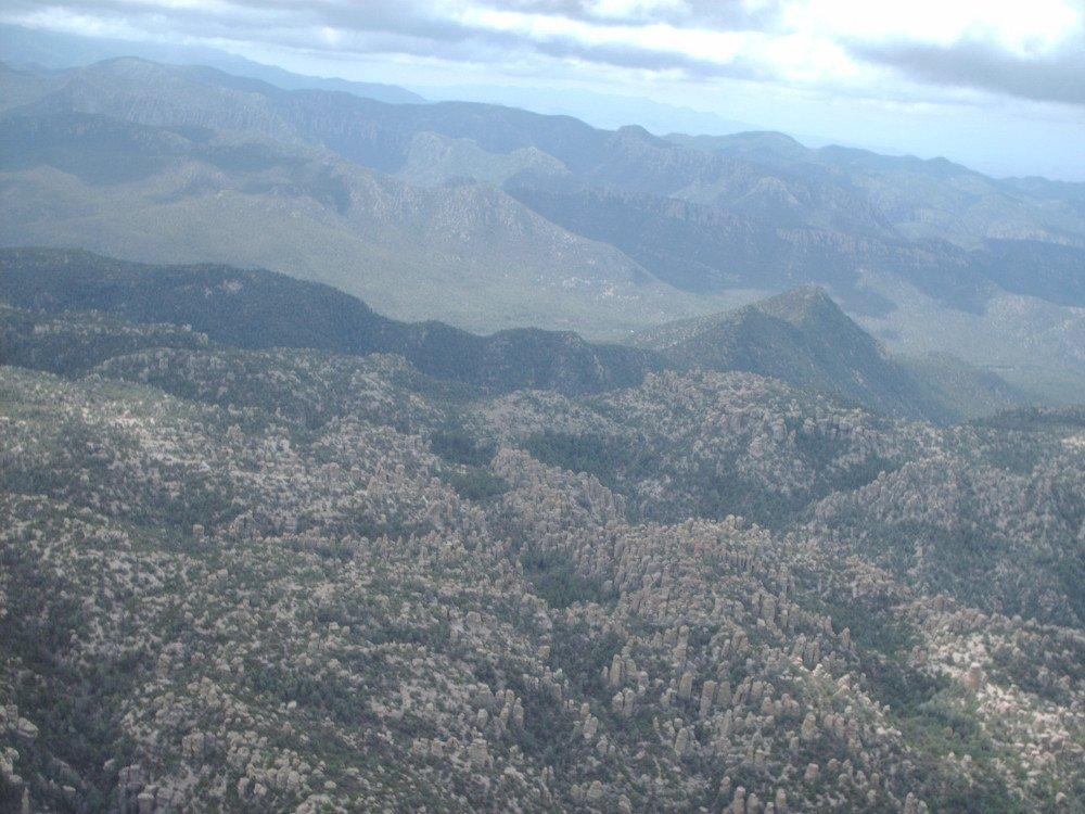
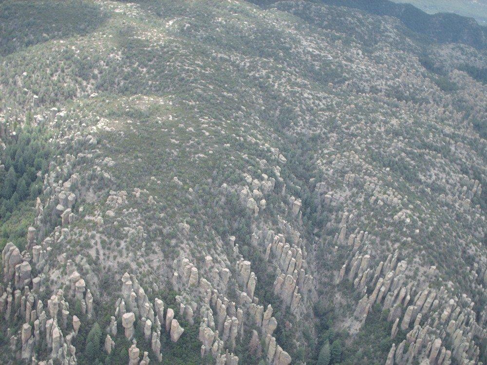
These two parks are within 30 miles of each other in the eastern part of Arizona, south of Wilcox. I have visited Chiricahua many times, and always find new sites and trails. The rock formations were deposited by a Turkey Creek Caldera millions of years ago. The general outline of that caldera is still visible south of the Monument in the Chiricahua Mountains. I have visited Ft Bowie twice, in conjunction with visits to Chiricahua. These photos are from various visits from 2004 to 2008, and the aerial photos are from 2005 and 2008.
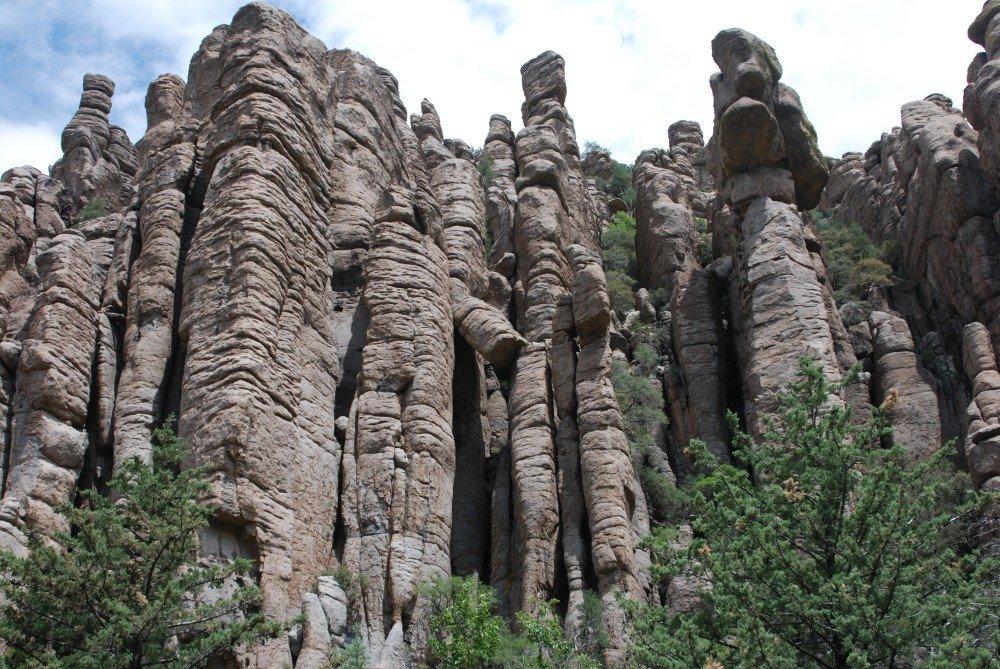
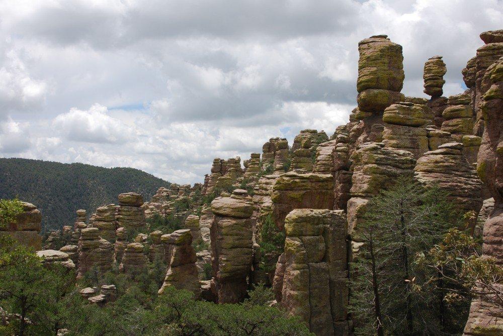
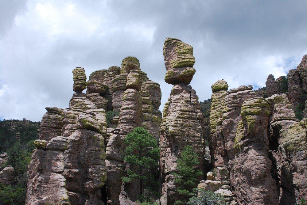
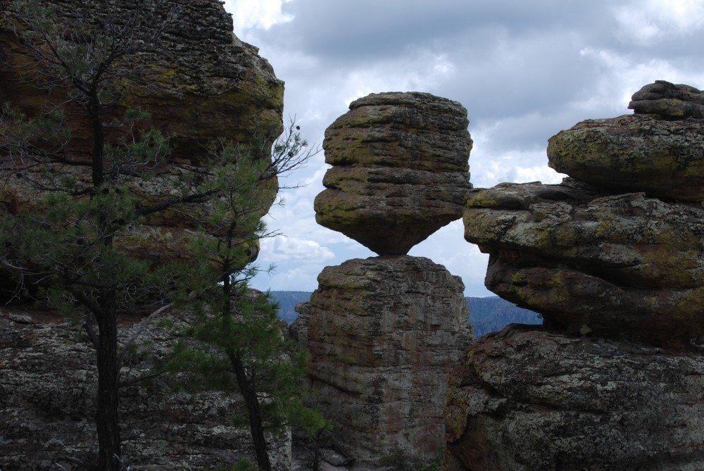
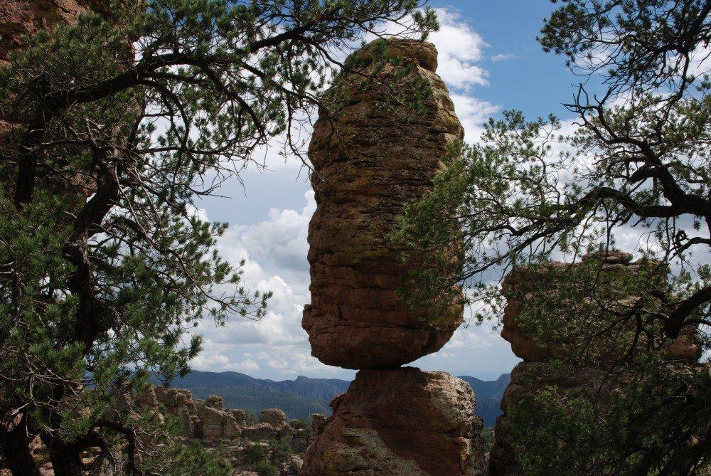
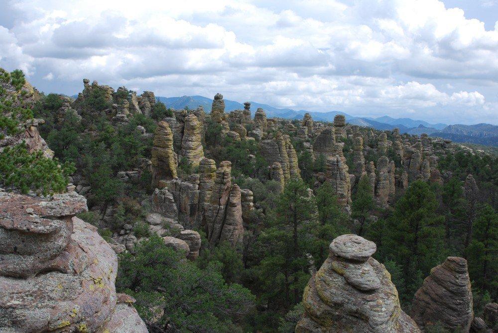
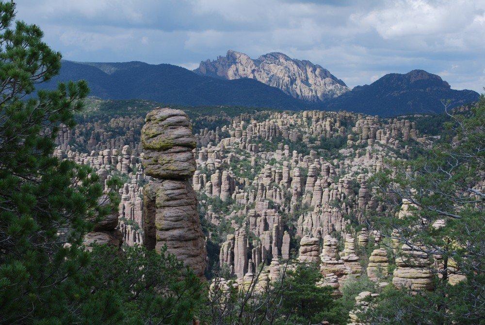
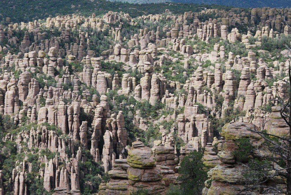
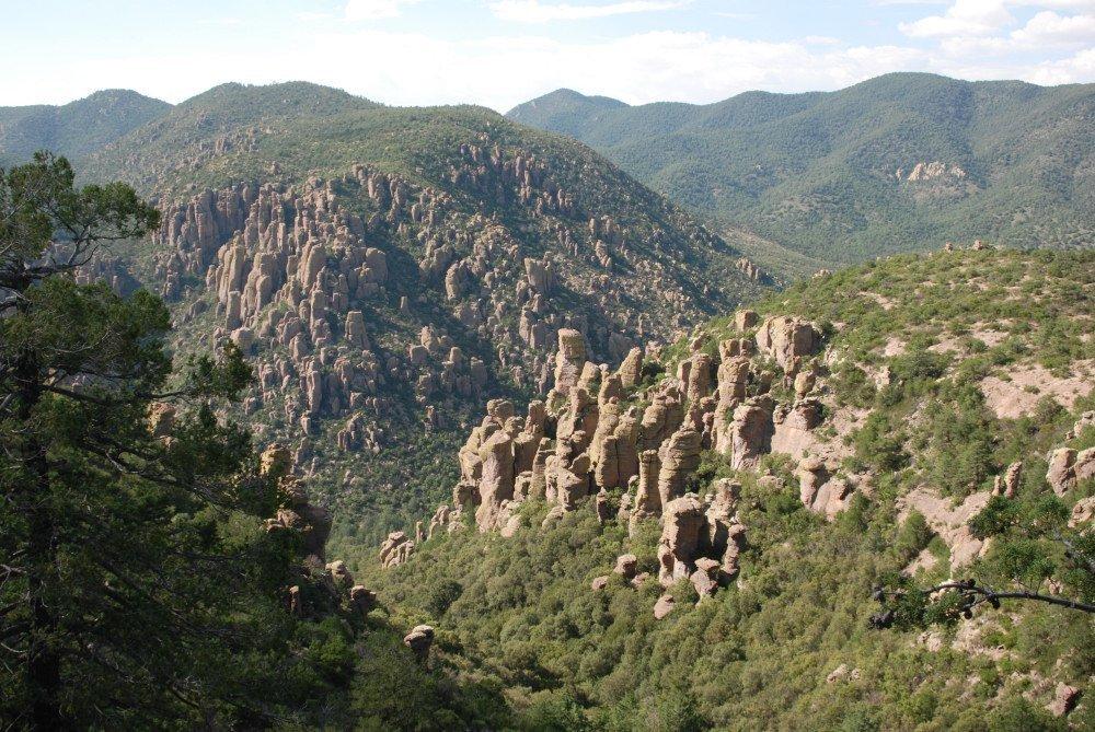
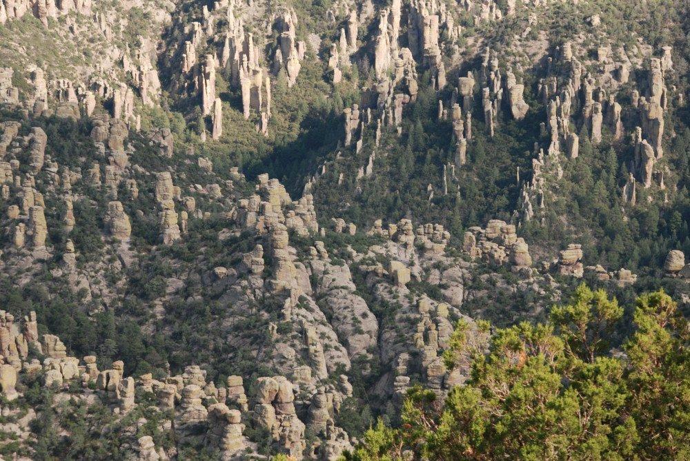
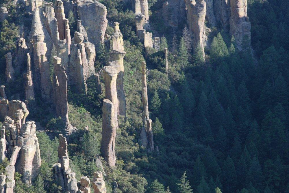
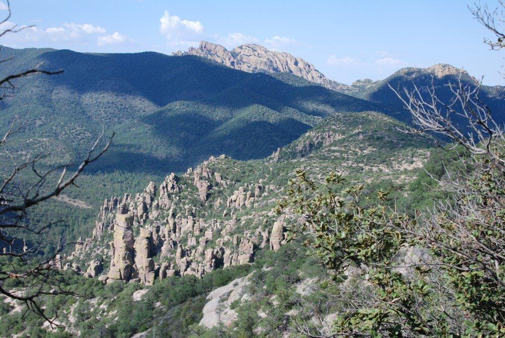
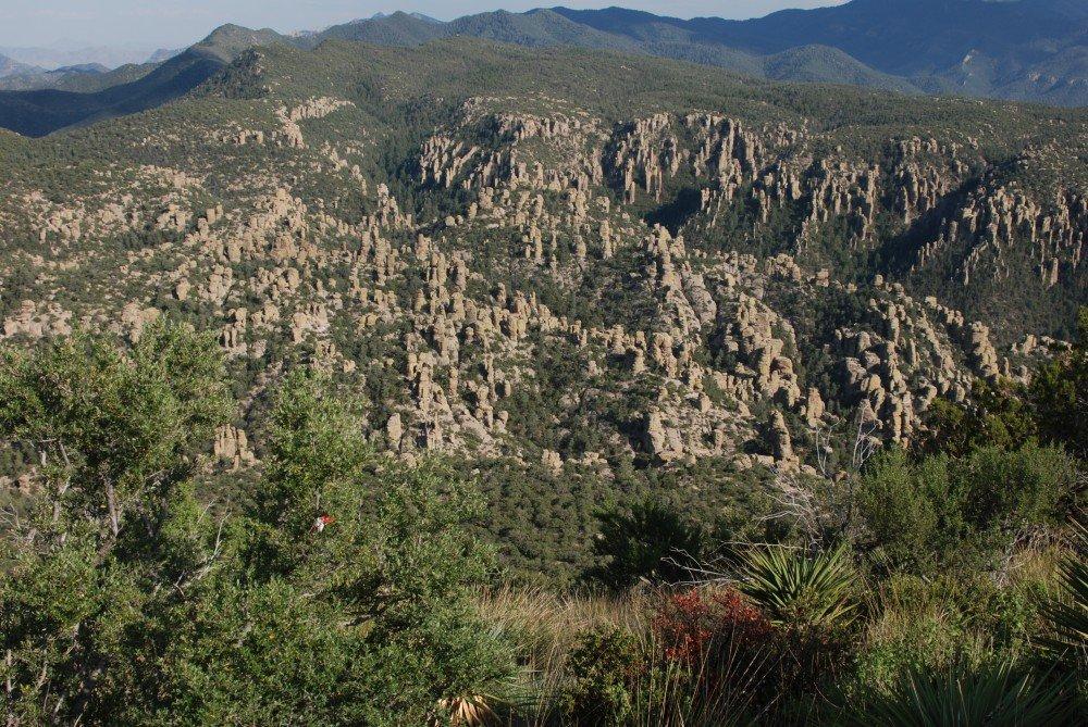
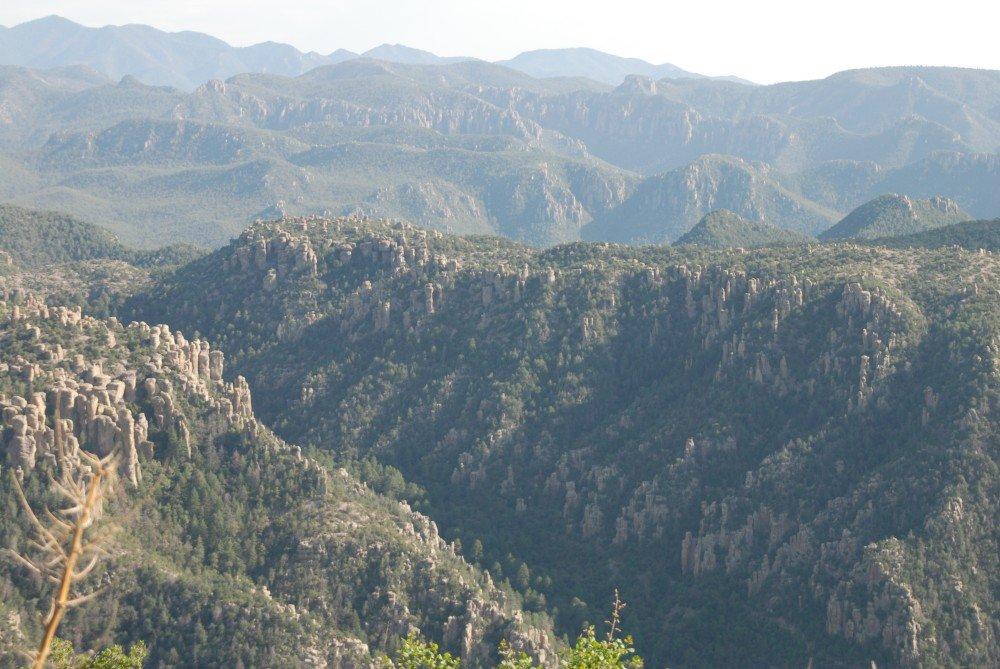
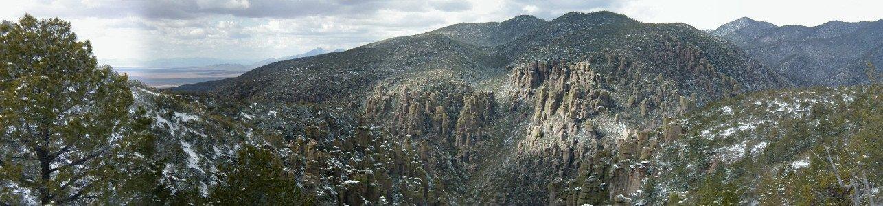
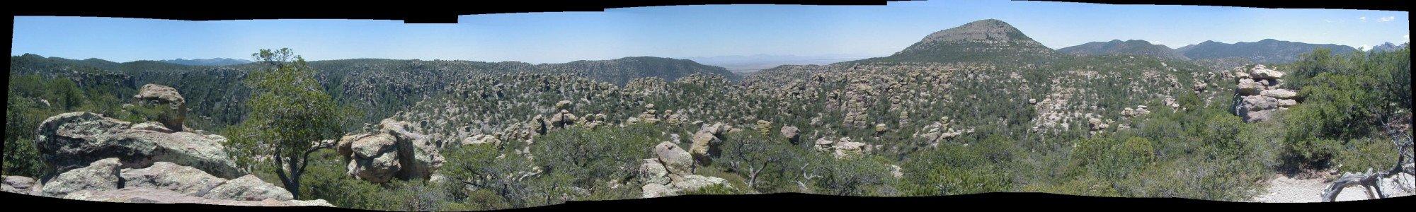
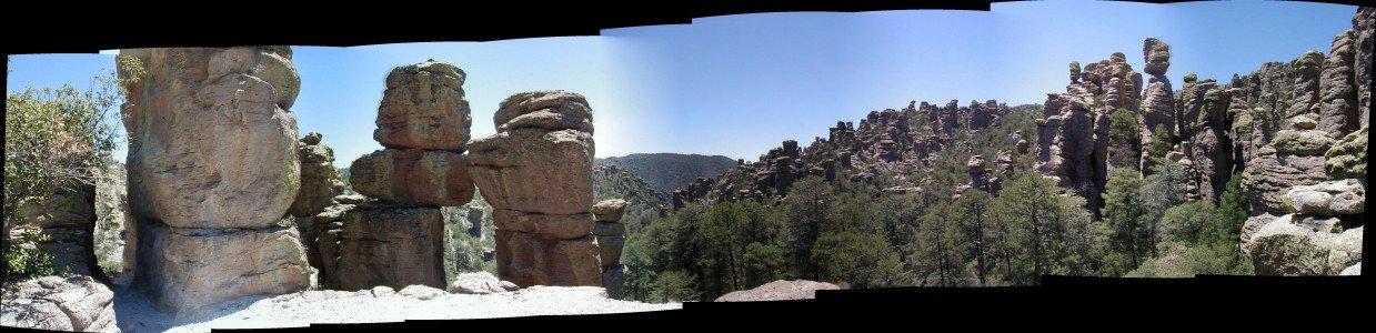
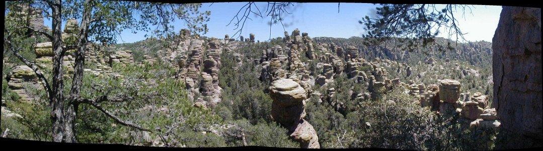
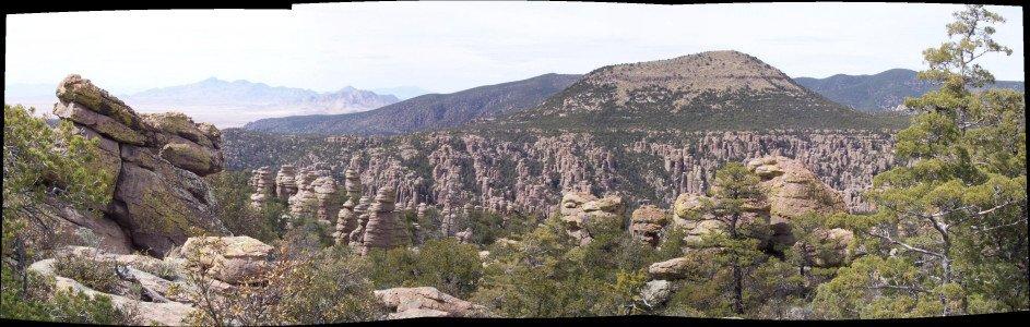
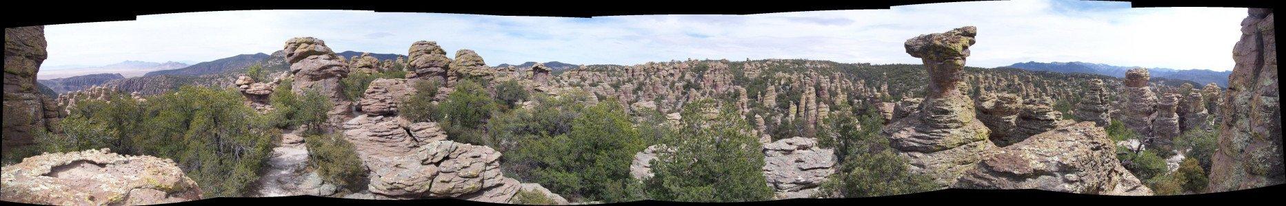
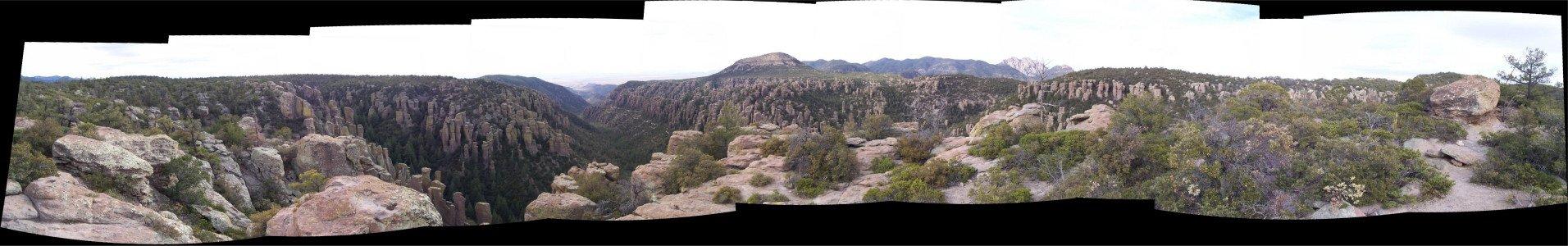
Chiricahua National Monument - "Land of Standing Up Rocks"
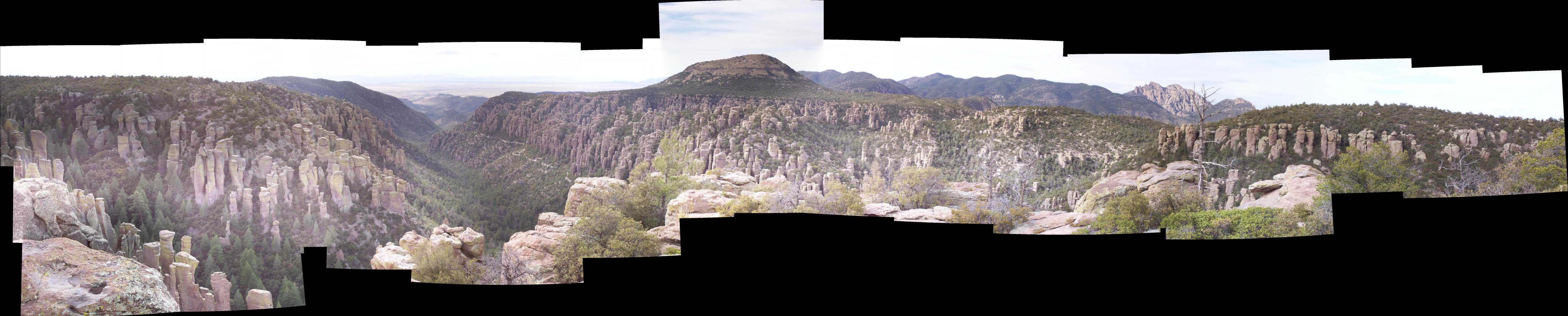
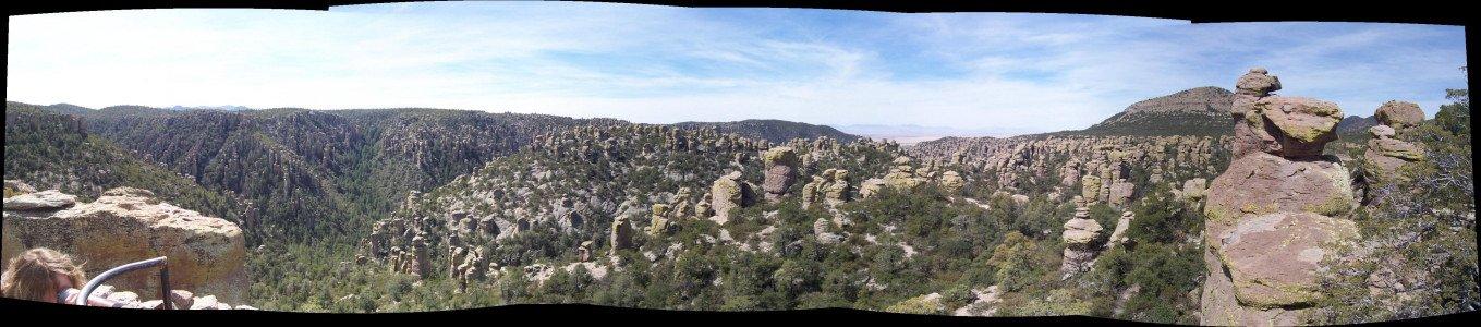
Inspiration Point panorama, constructed from 41 separate 1.3 MP images
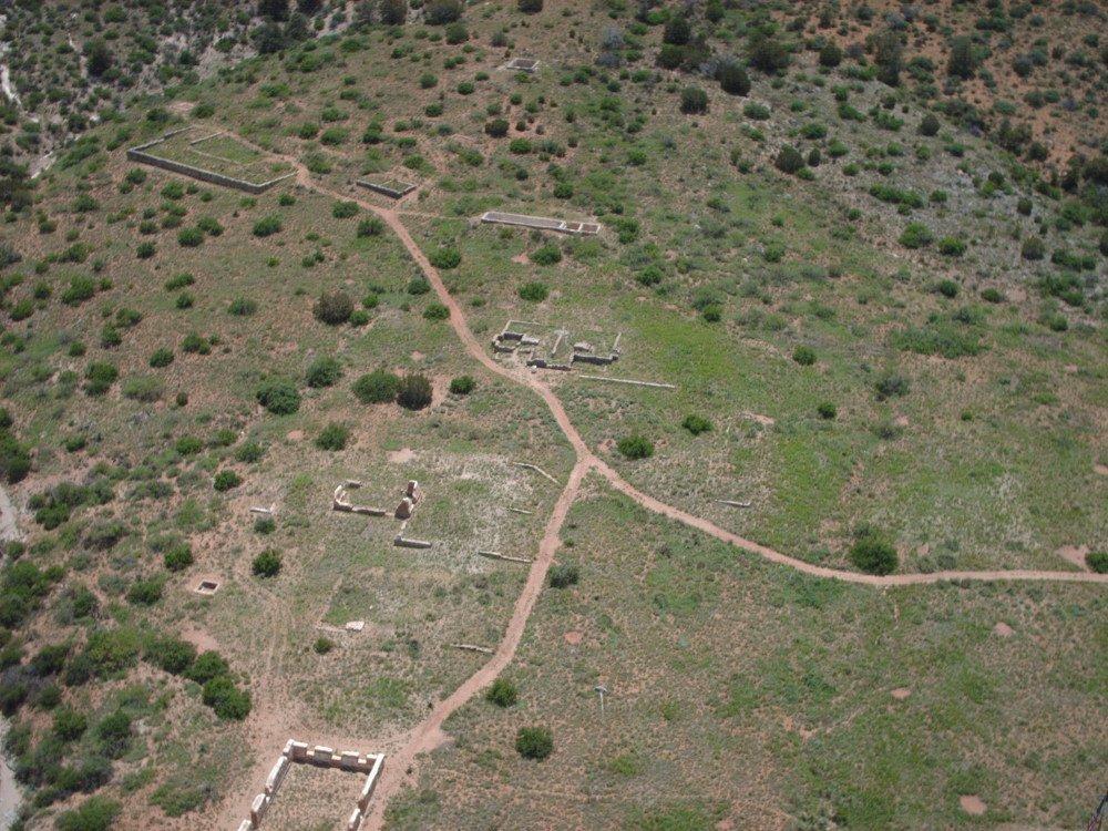
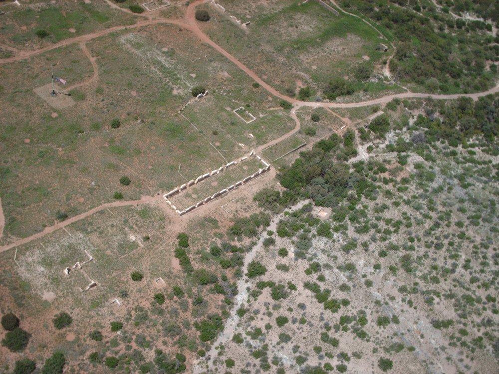
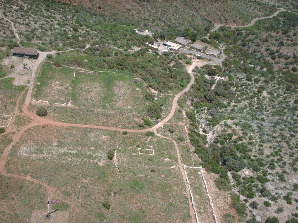
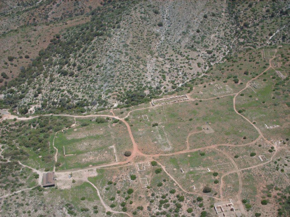
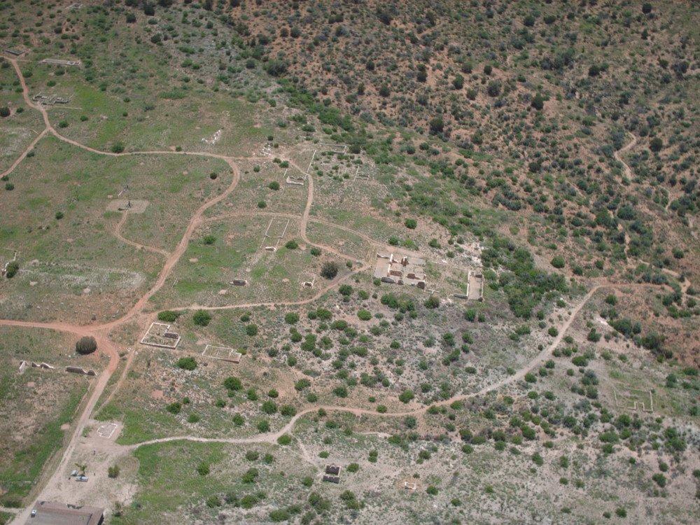
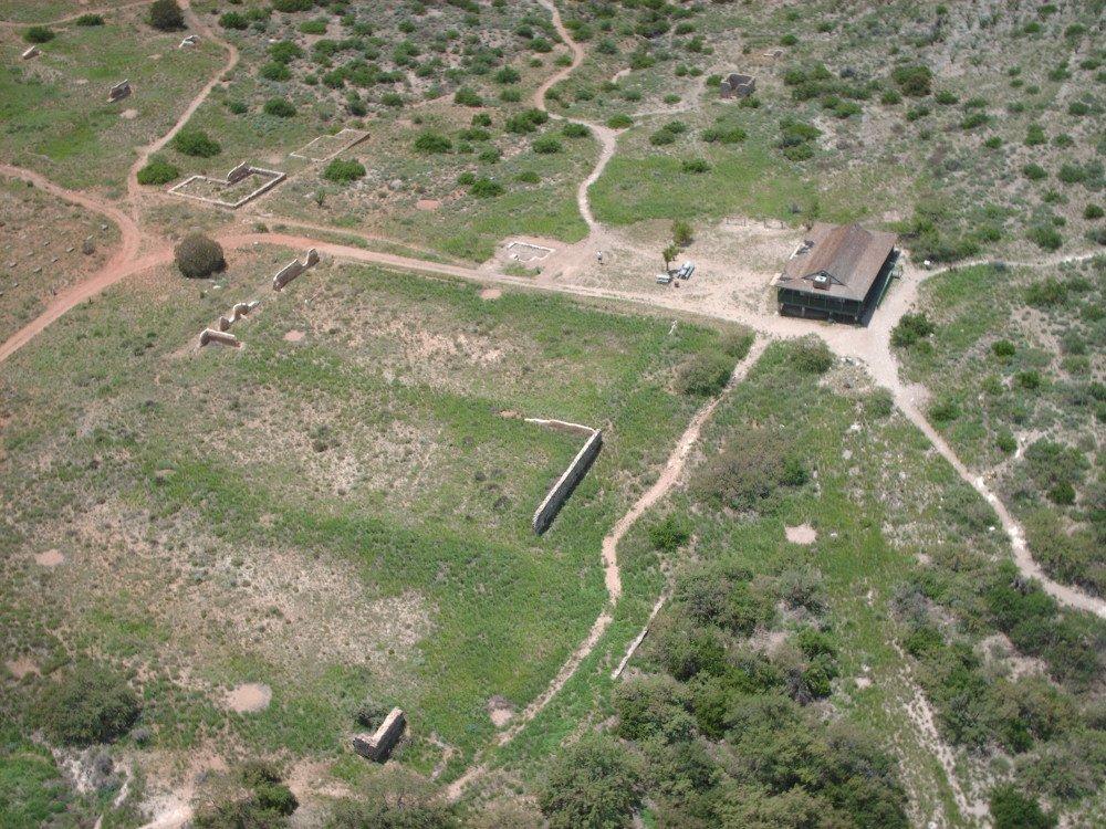
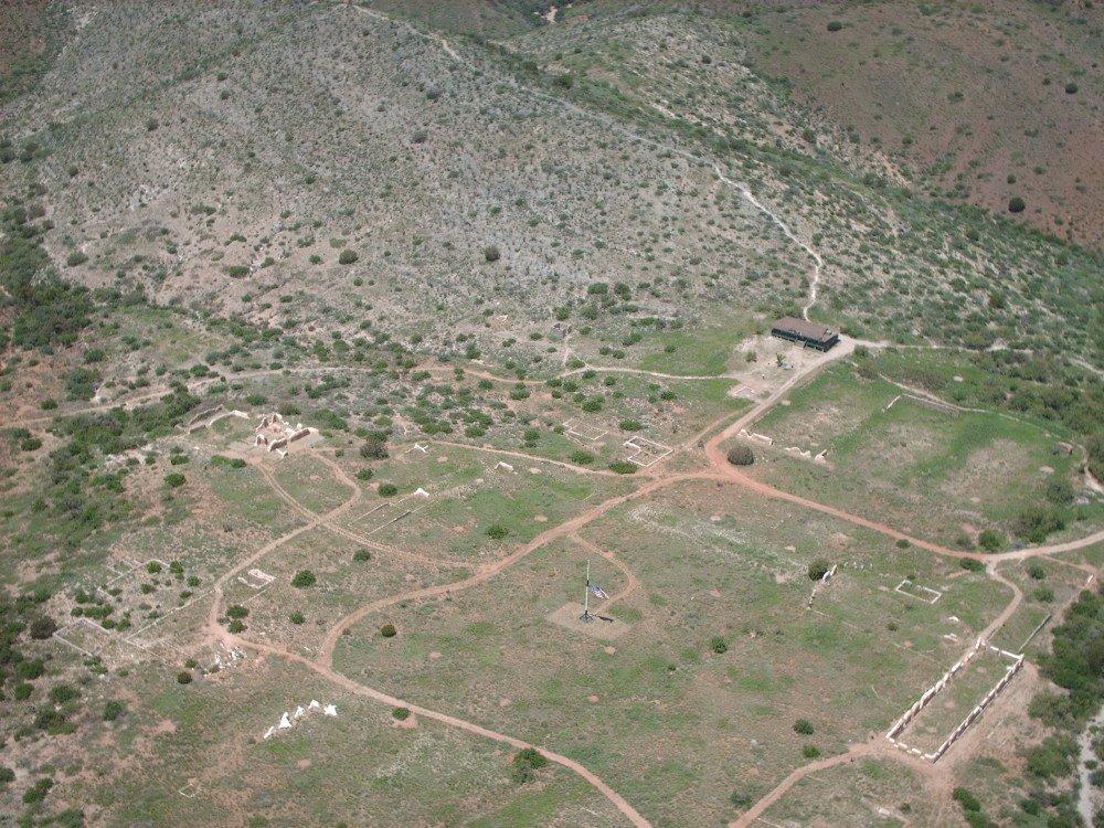
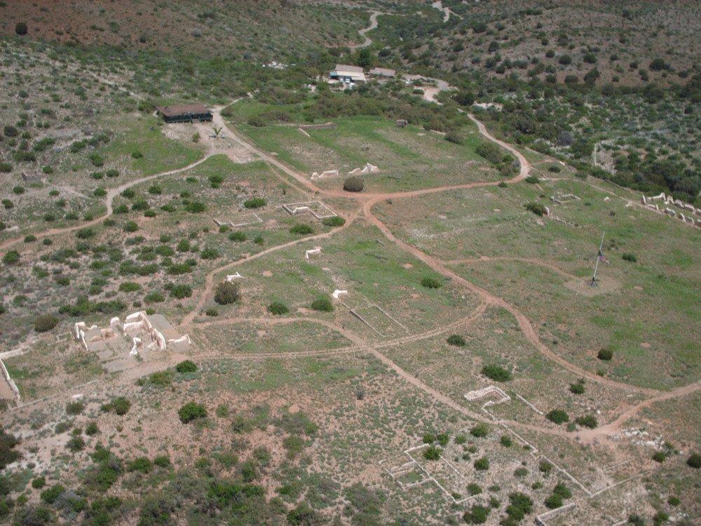
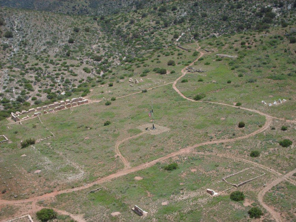
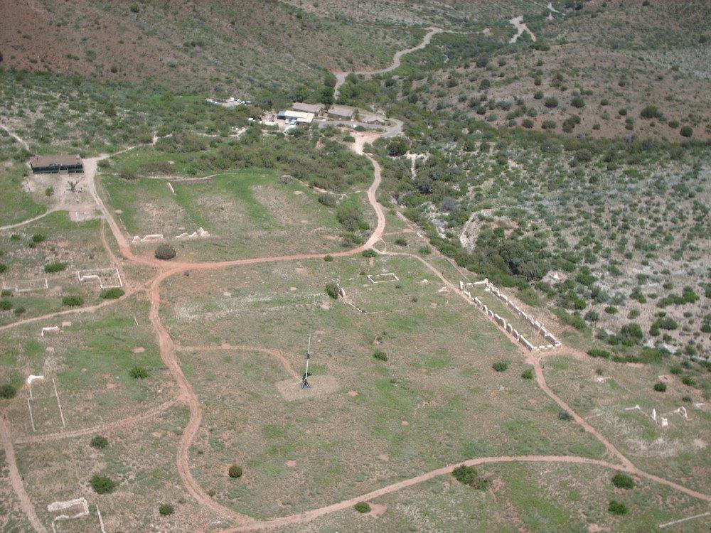
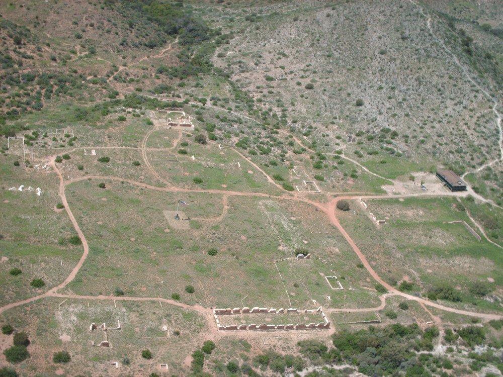
Ft Bowie National Historic Site
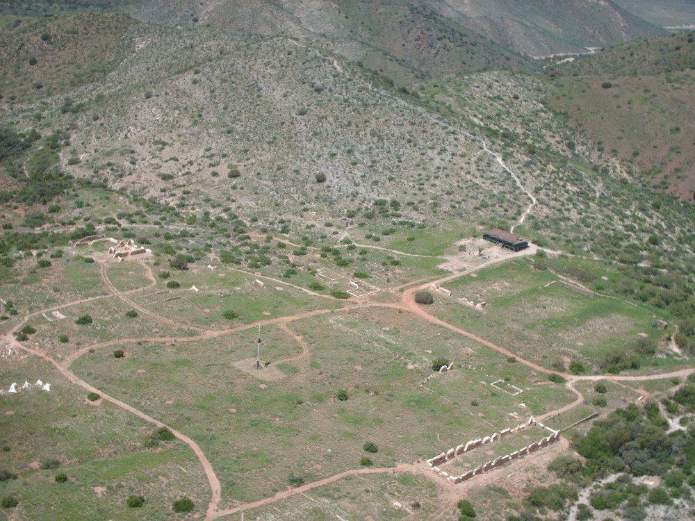
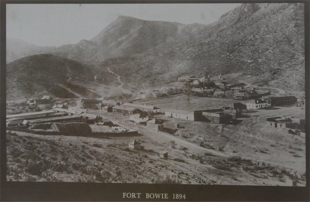
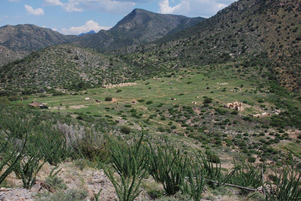
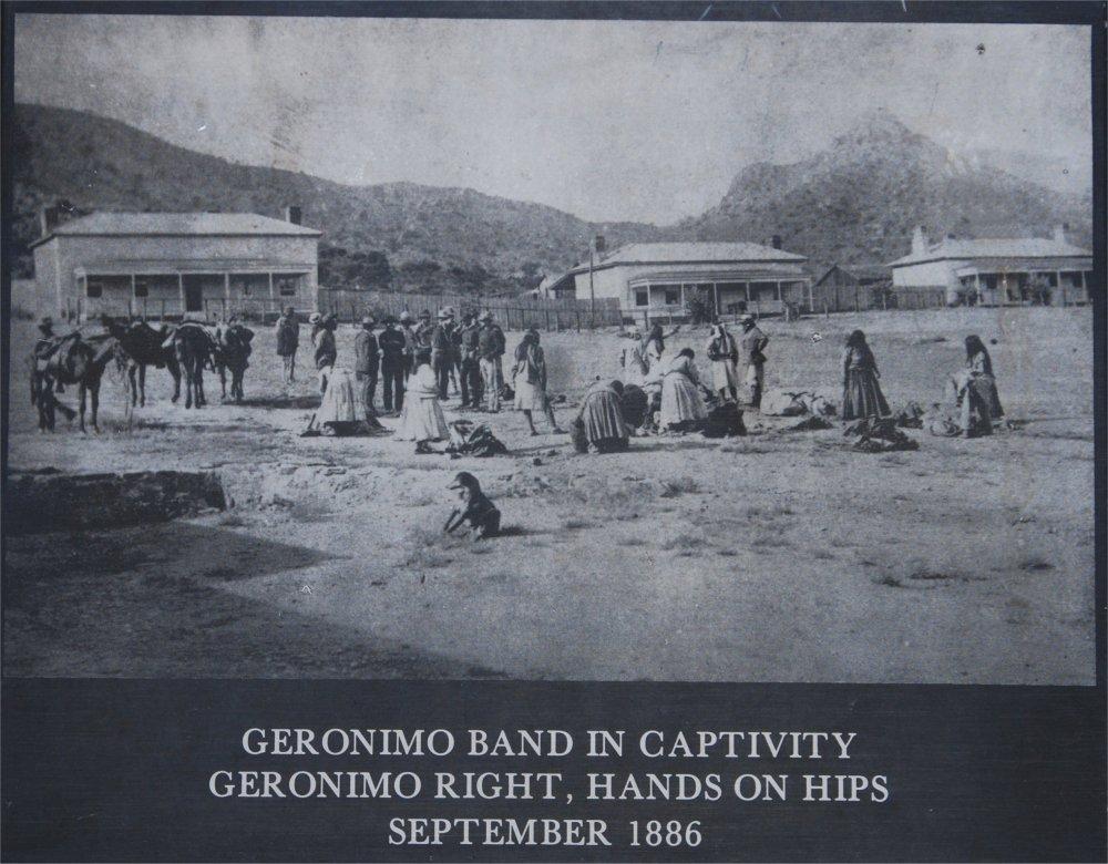
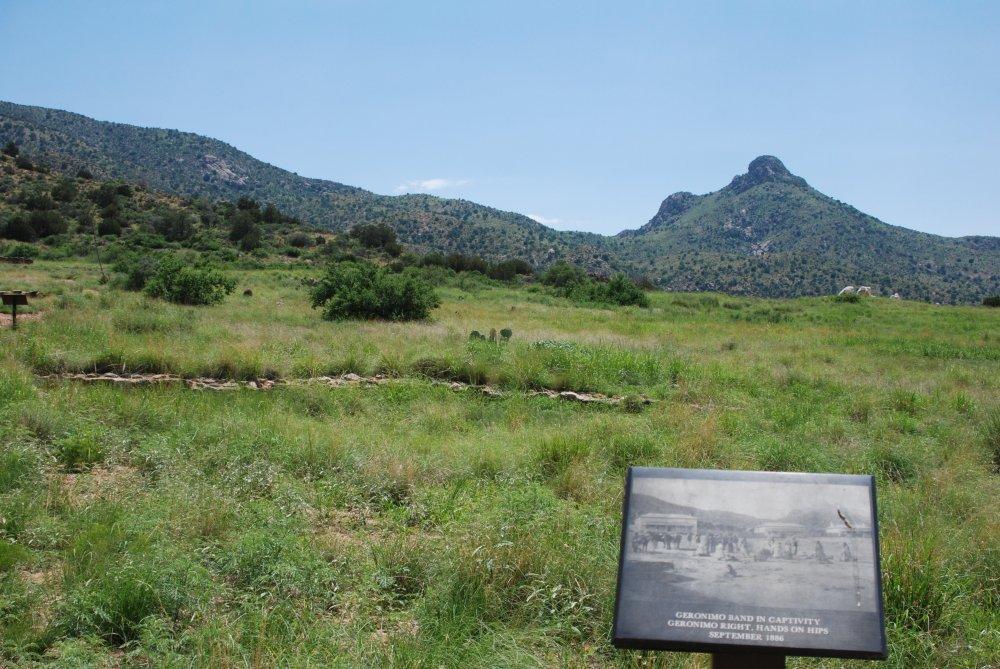
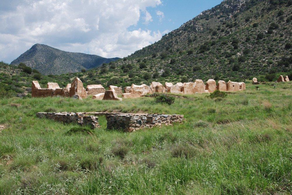
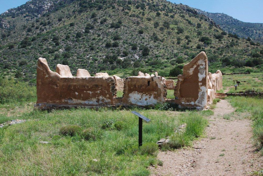
This fort was the center of the Chiricahua Apache wars in the 1870's and 1880's, and sits in Apache Pass. Apache Spring was and is a natural spring in the pass and was the source for all water for the fort. The Butterfield Overland Mail Apache Pass Station was less than 1/2 mile from the fort, and also used the spring for water. The first two photos below show the fort from the same vantage point, in 1894 and today. The next two photos show a picture of Geronimo when we was captured and held at the fort for a short time in 1886, and that same view today. All that is left now are some adobe walls and a visitor center. The hike in from the parking lot is about 1.5 miles, and you pass the remains of the Butterfield Stage Station and the fort cemetery.