 |
 |
 |
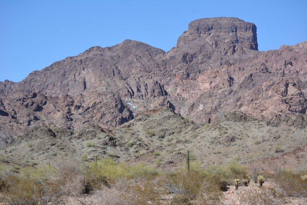
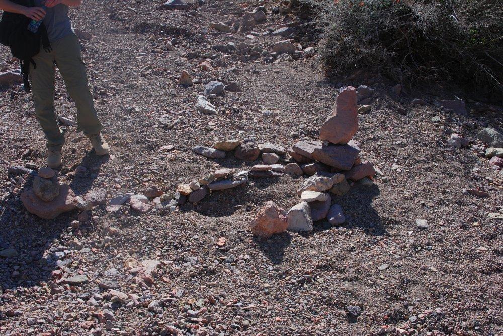
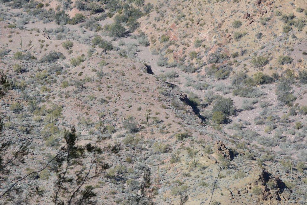
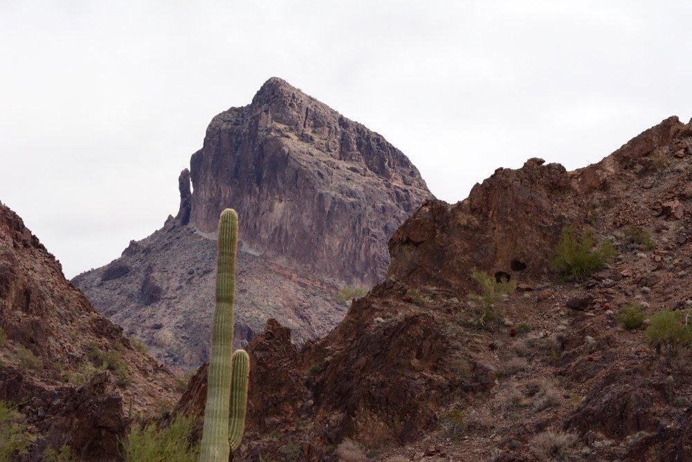
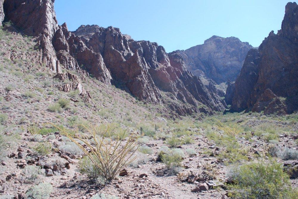
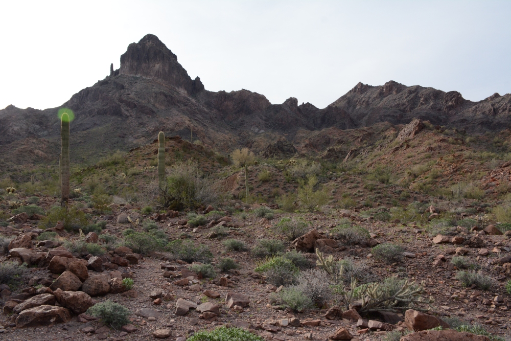
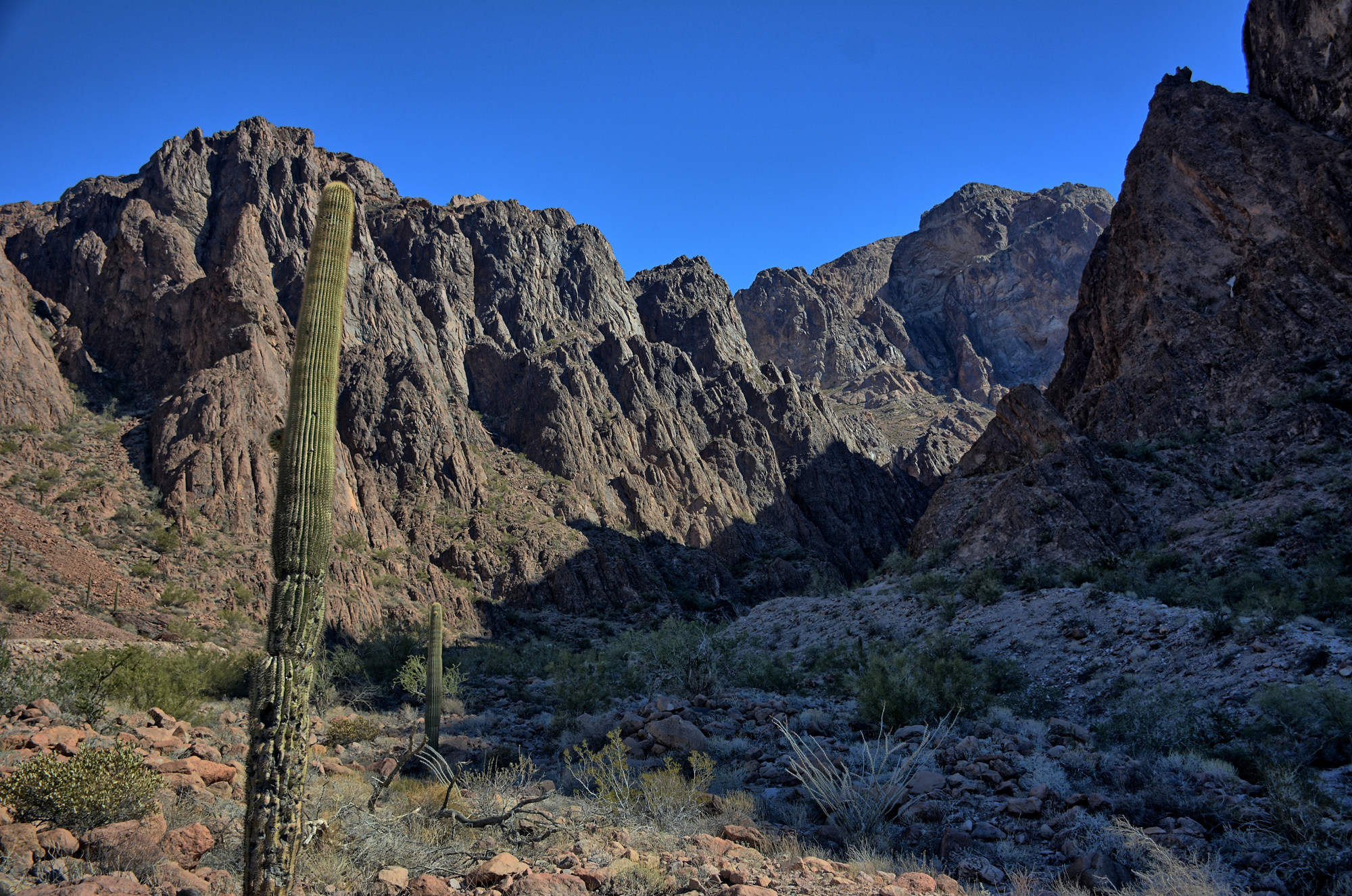
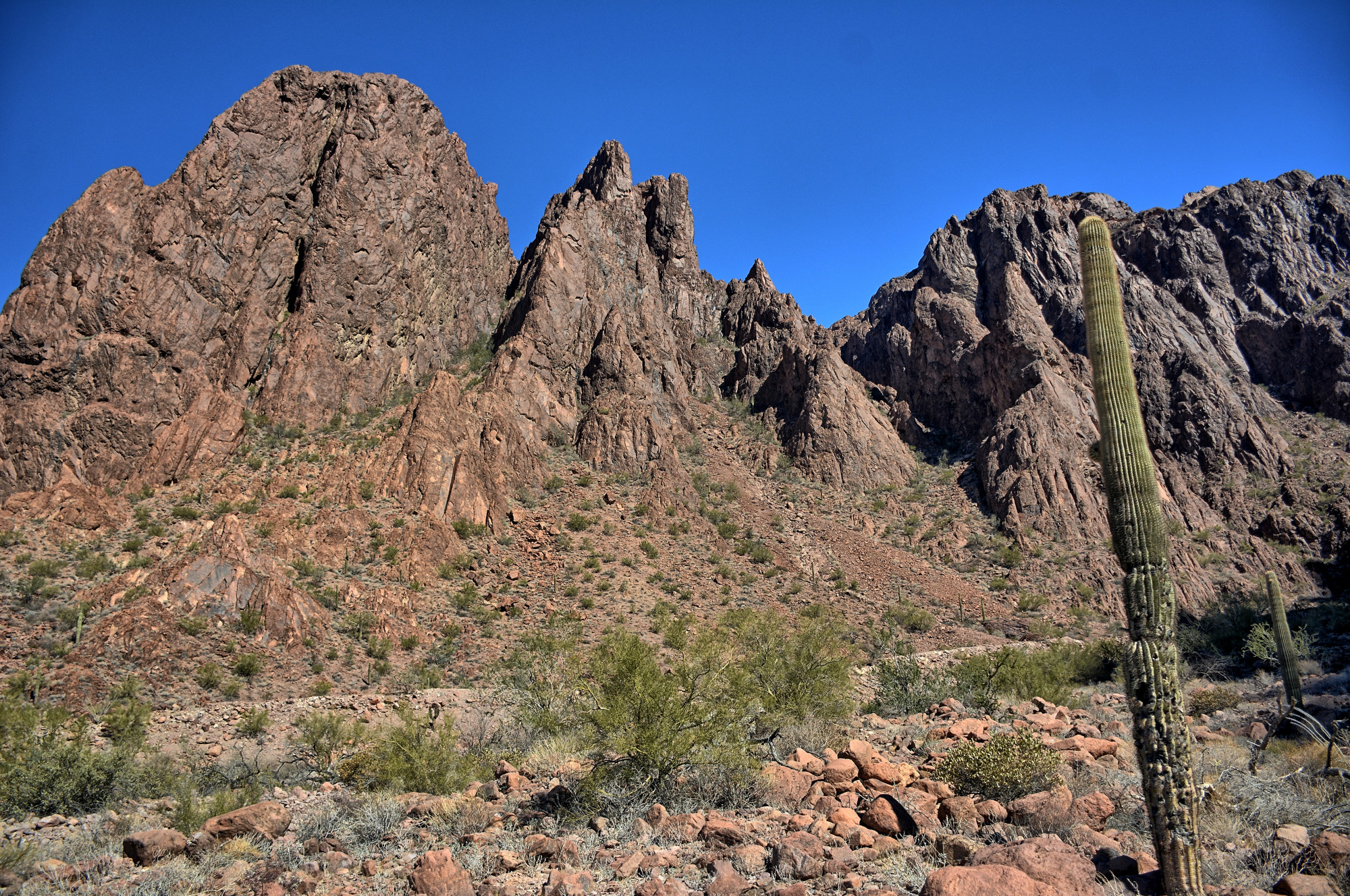
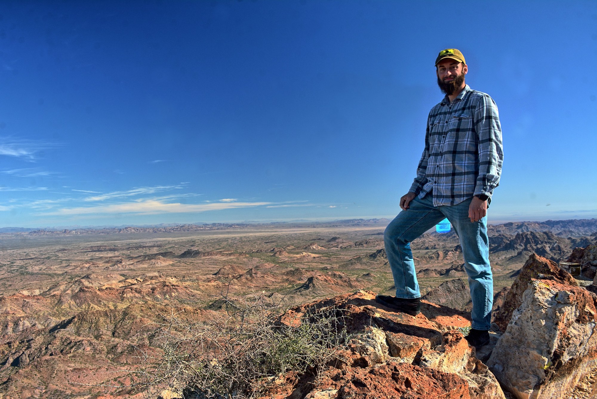
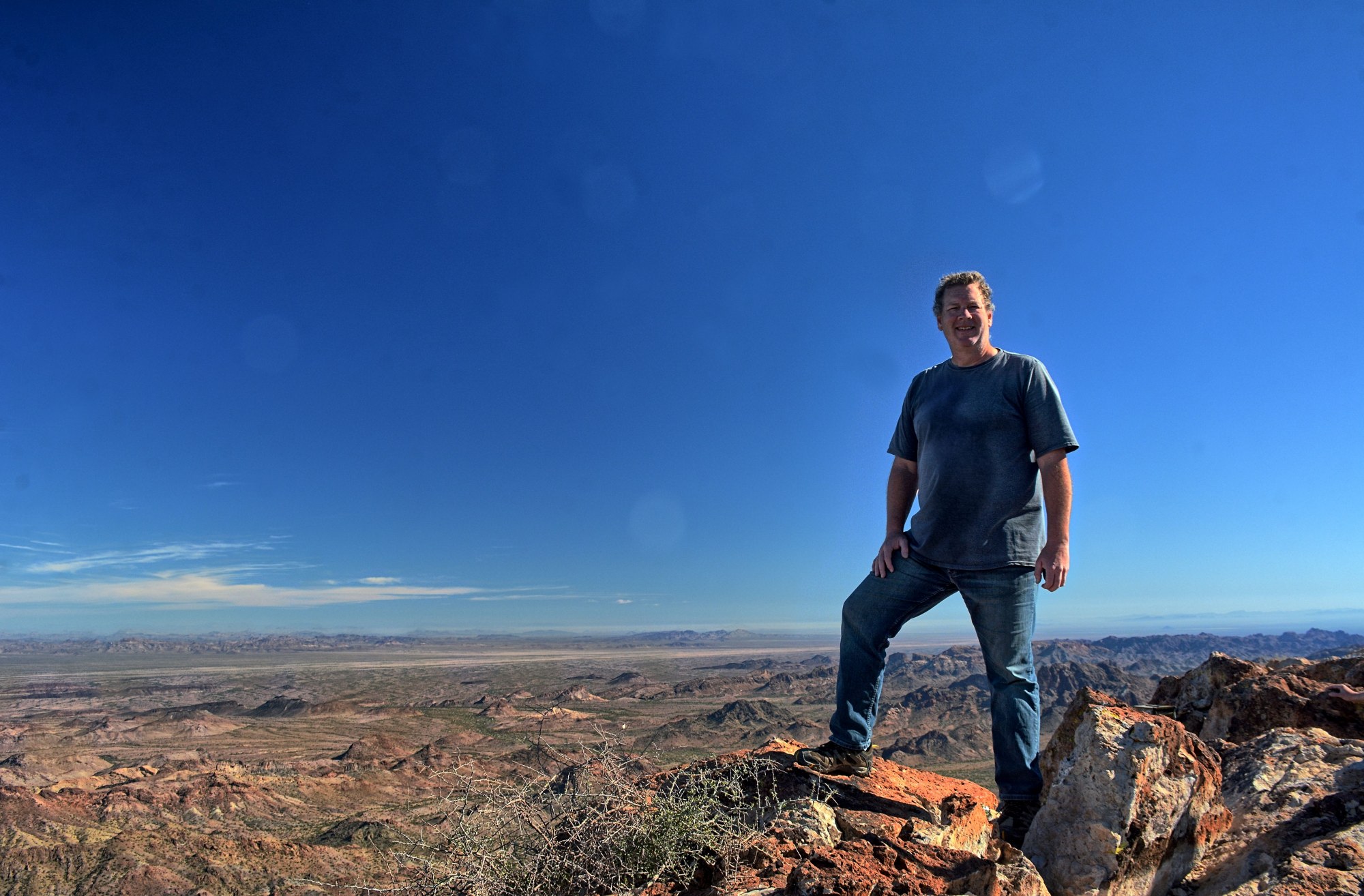
The Castle Dome mountain range within the Kofa (King Of Arizona) National Wildlife Refuge is very rugged terrain, with some very 'pointy' mountains. Castle Dome Peak sits here in the middle of the range, and has a main trail that is marked well with cairns. All of these climbs were done in groups of two to seven people, friends and coworkers, while we were all at Yuma Proving Grounds, Arizona for various flight tests. As of December 2022, I have climbed Castle Dome six times.
Climb #1 - March 2013 Climb #2 - September 2013 Climb #3 - February 2014 Climb #4 - January 2015 Climb #5 - March 2017 Climb #6 - December 2022
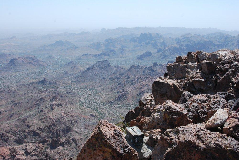
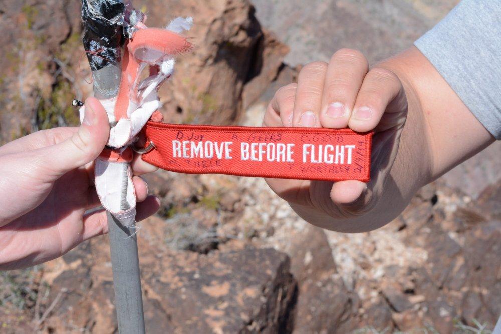
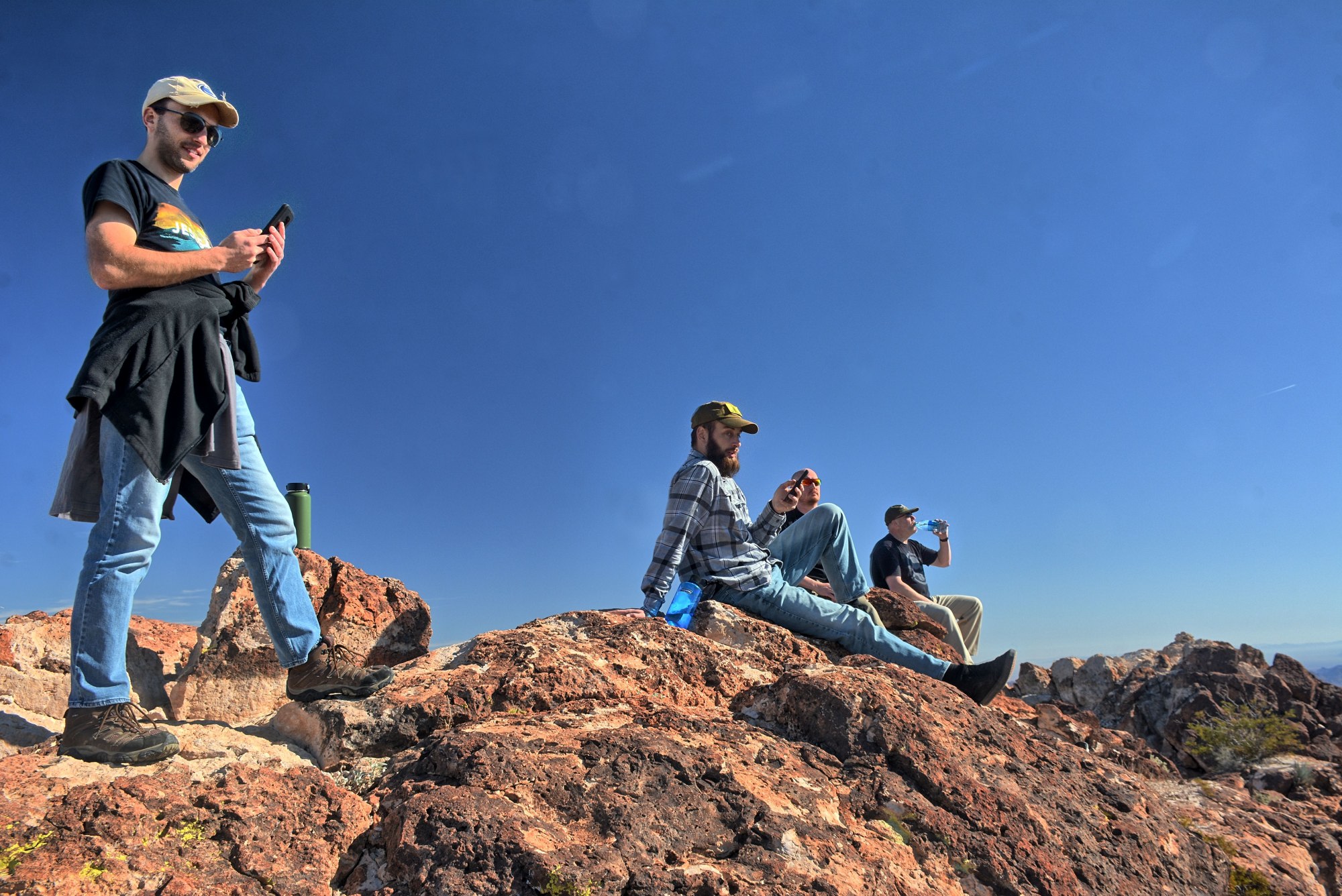
There is a sign-in register on top, contained in
an ammo box that is cemented in place. This leads to two
questions:
- Have you ever climbed Castle Dome and signed the register ?
- WHO carried that ammo
box, cement, and the necessary water for the cement to the top ?

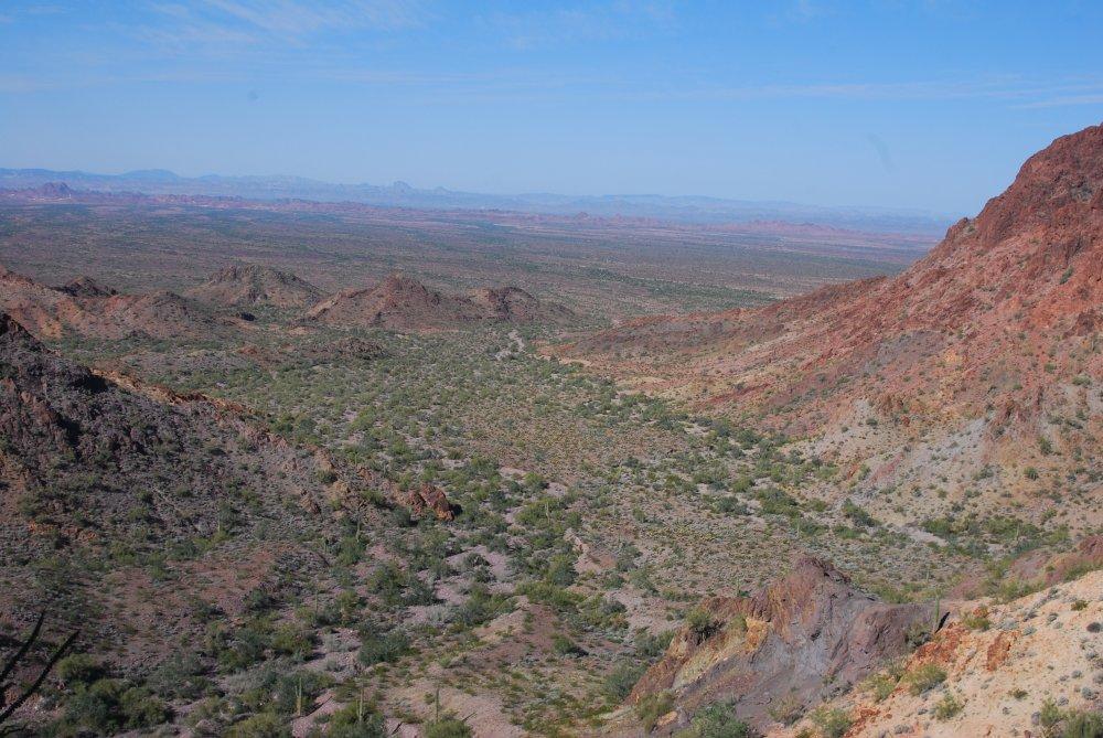
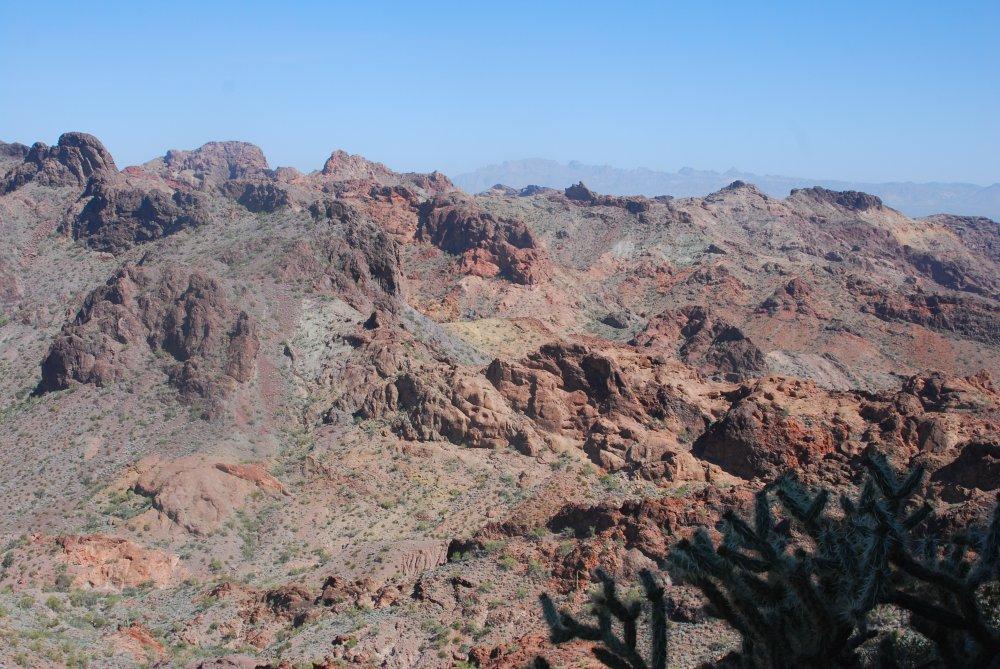
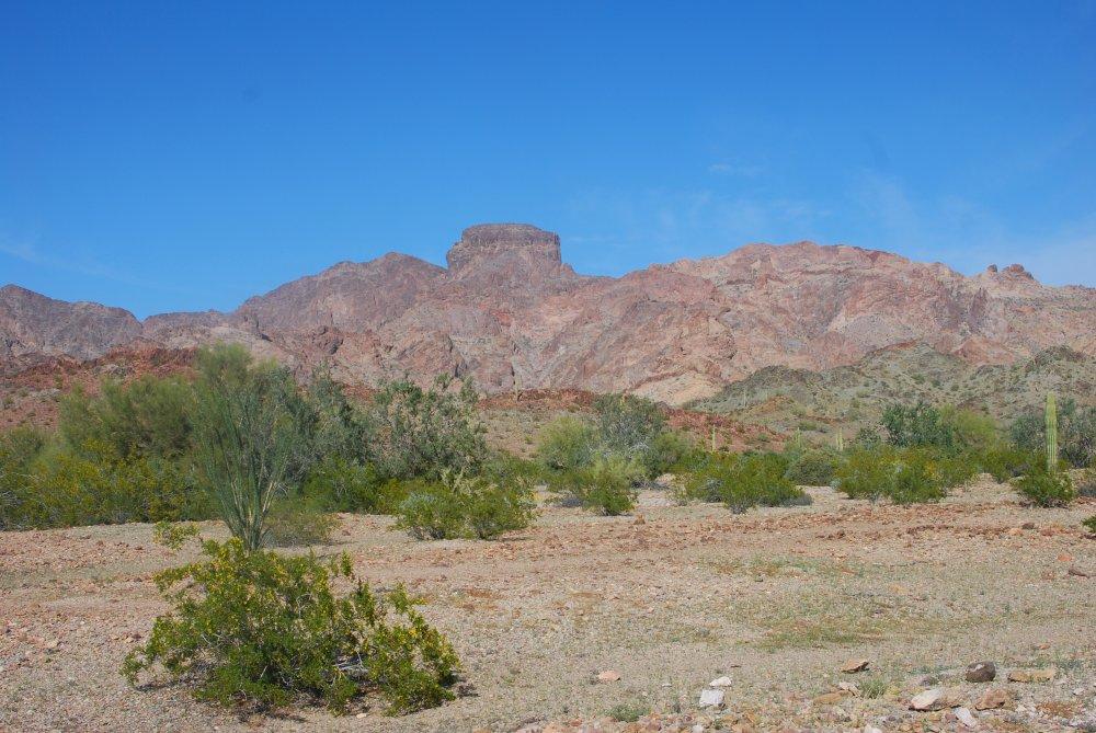
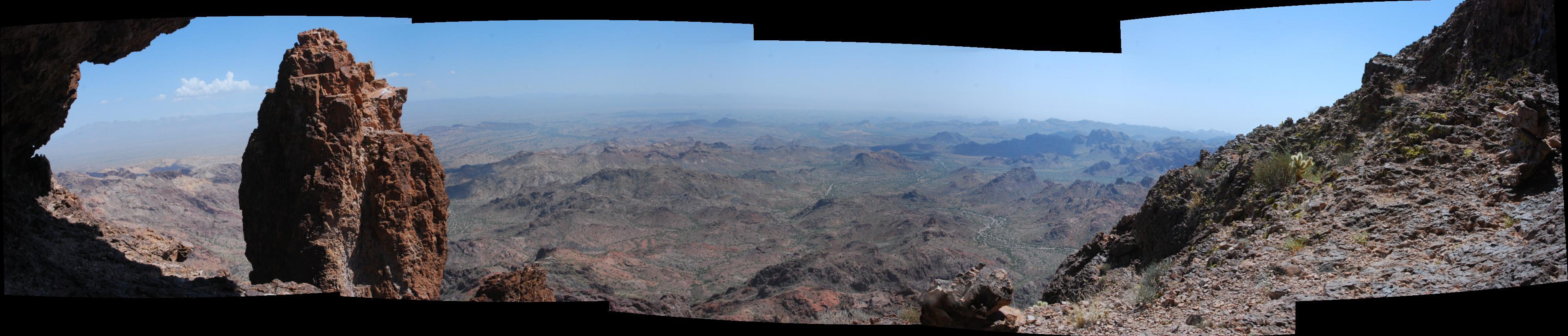
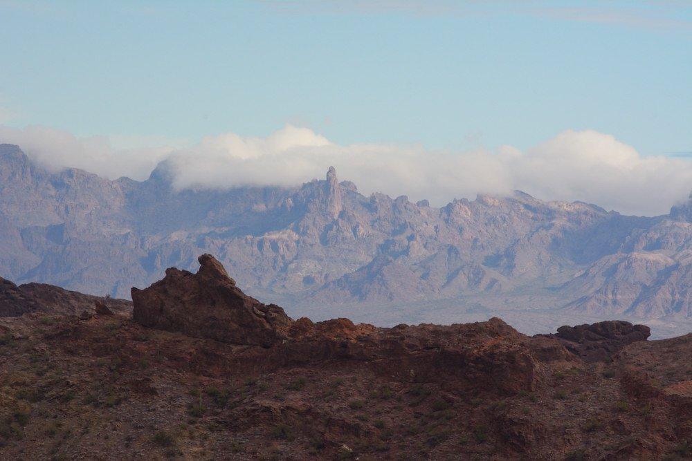
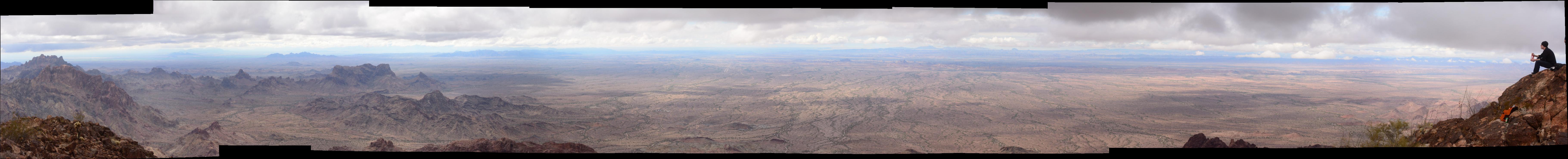
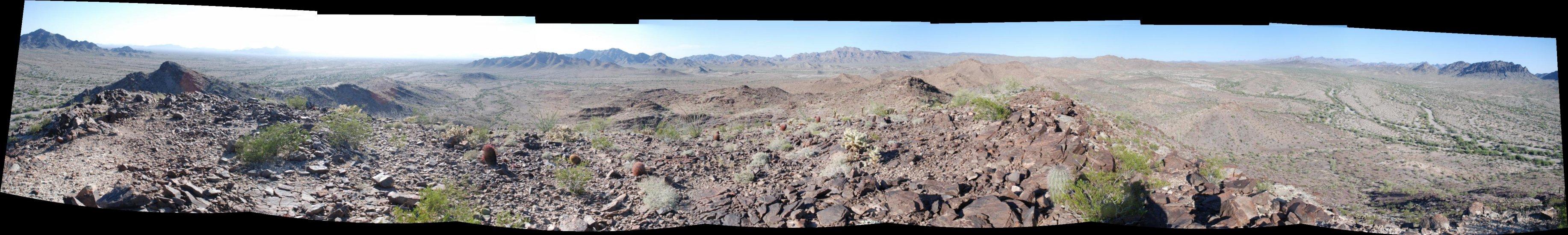
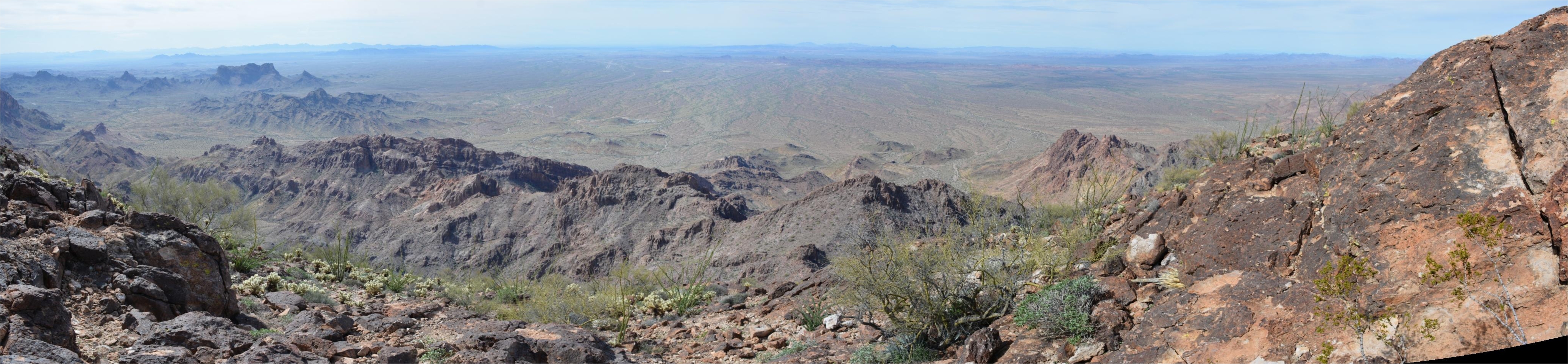
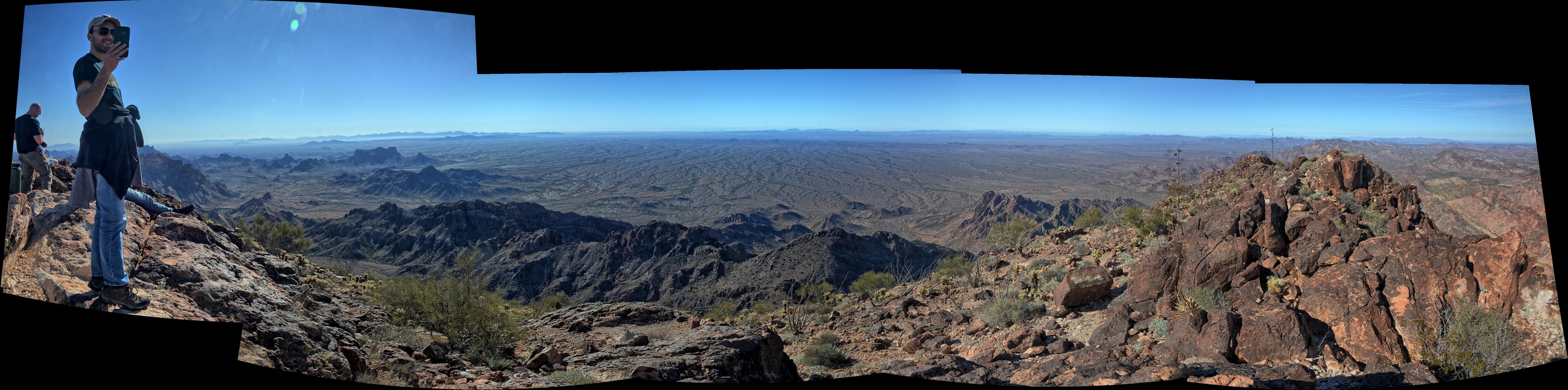
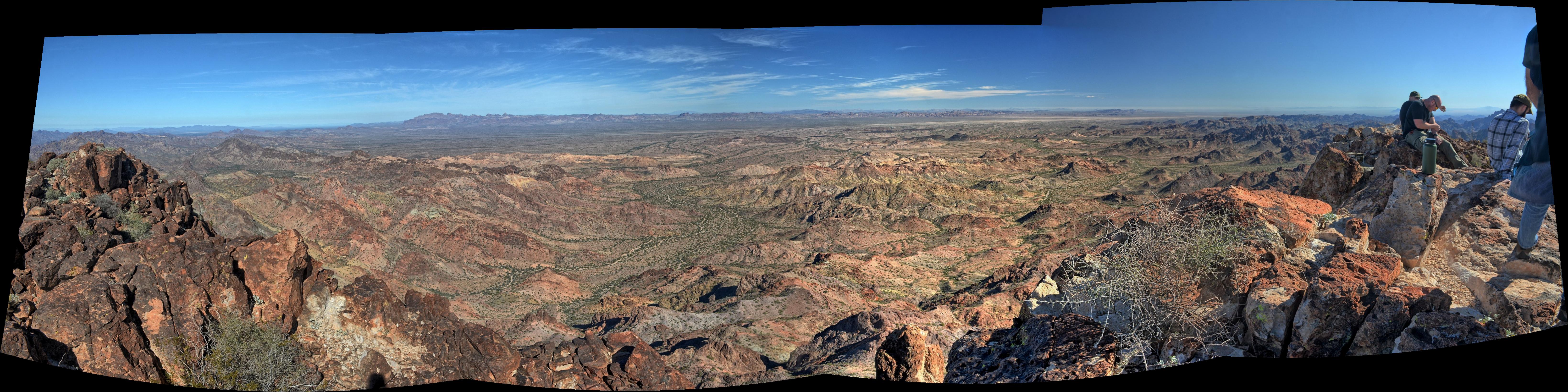
Castle Dome Mountain Range panorama, Castle Dome Peak to the left
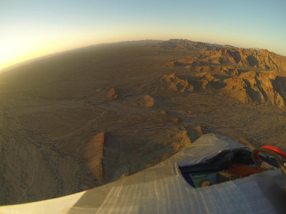
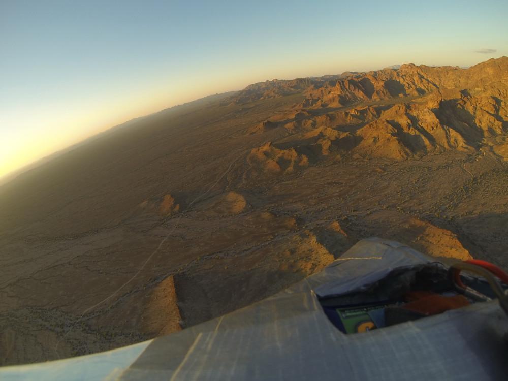
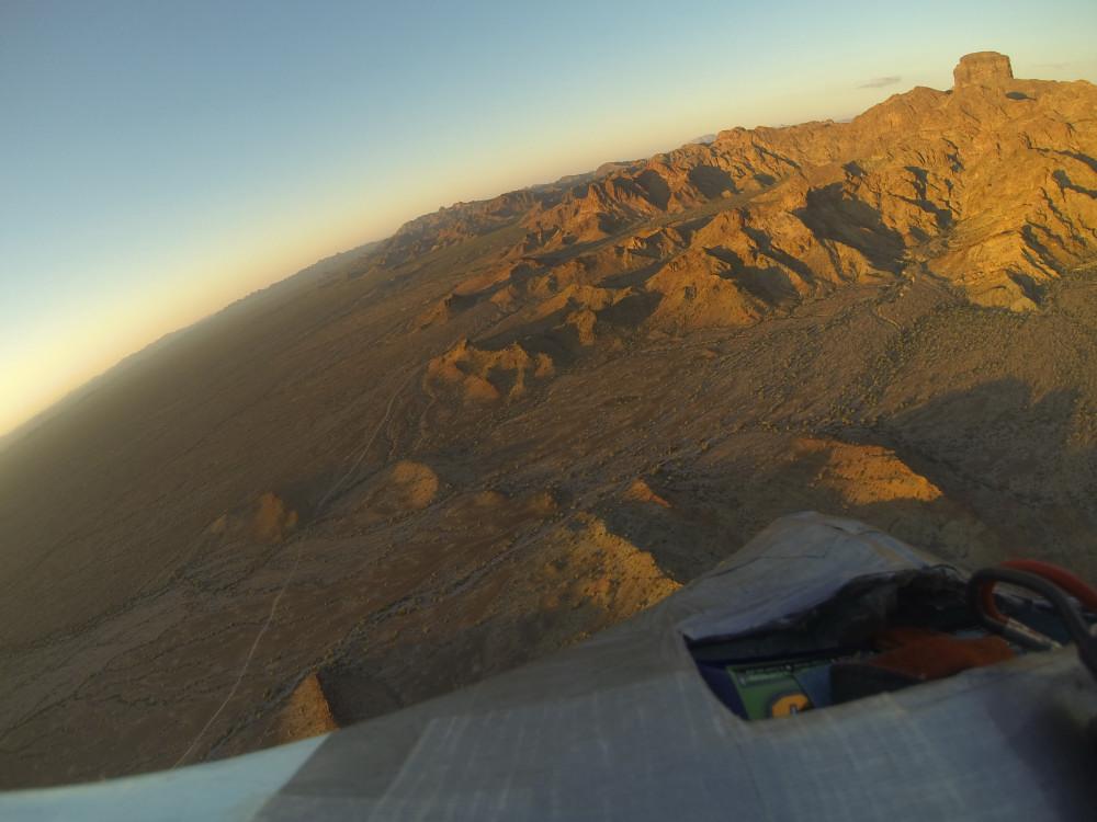
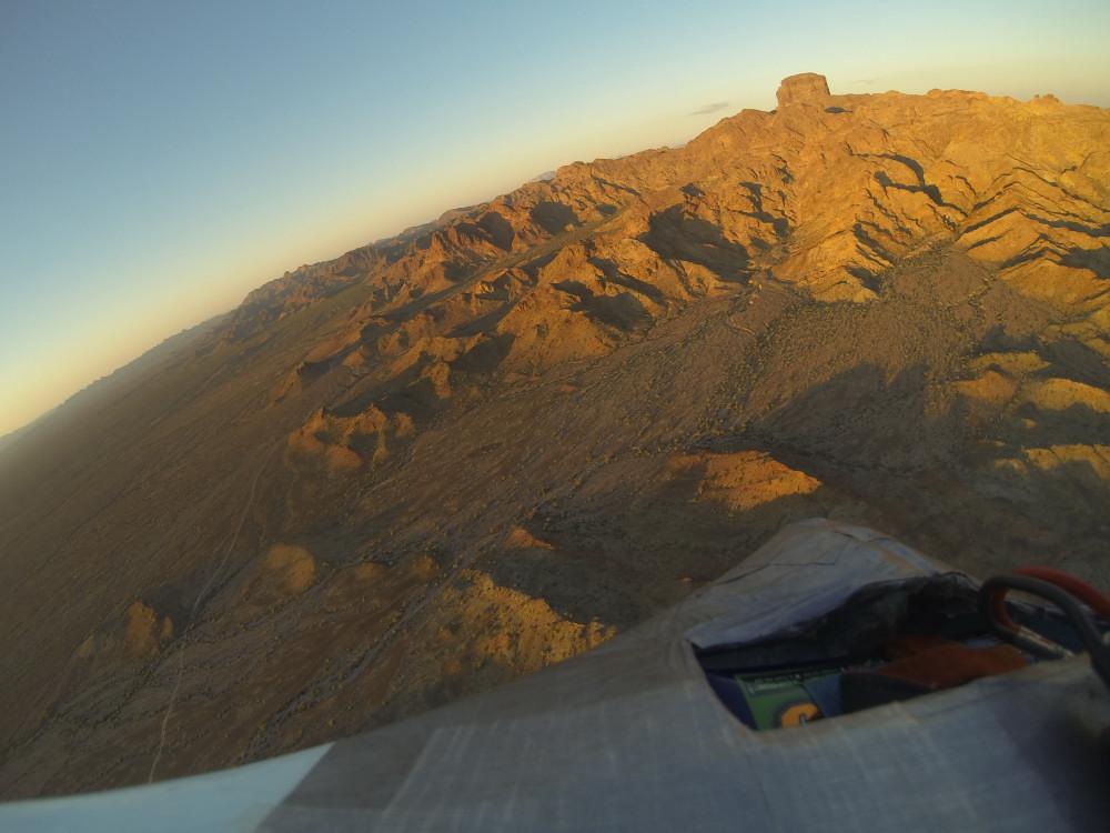
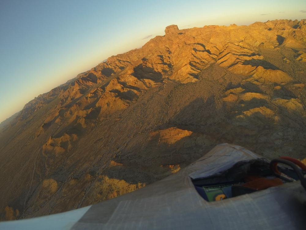
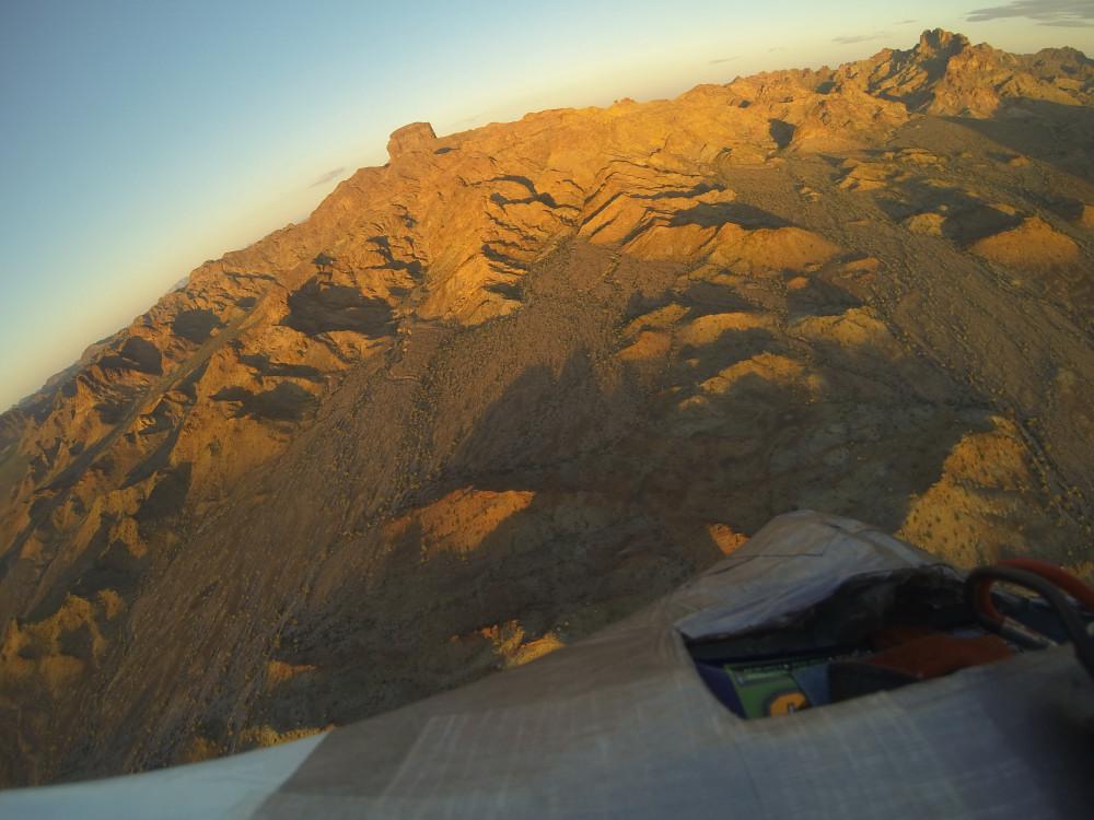
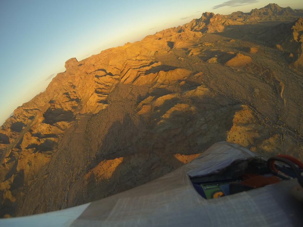
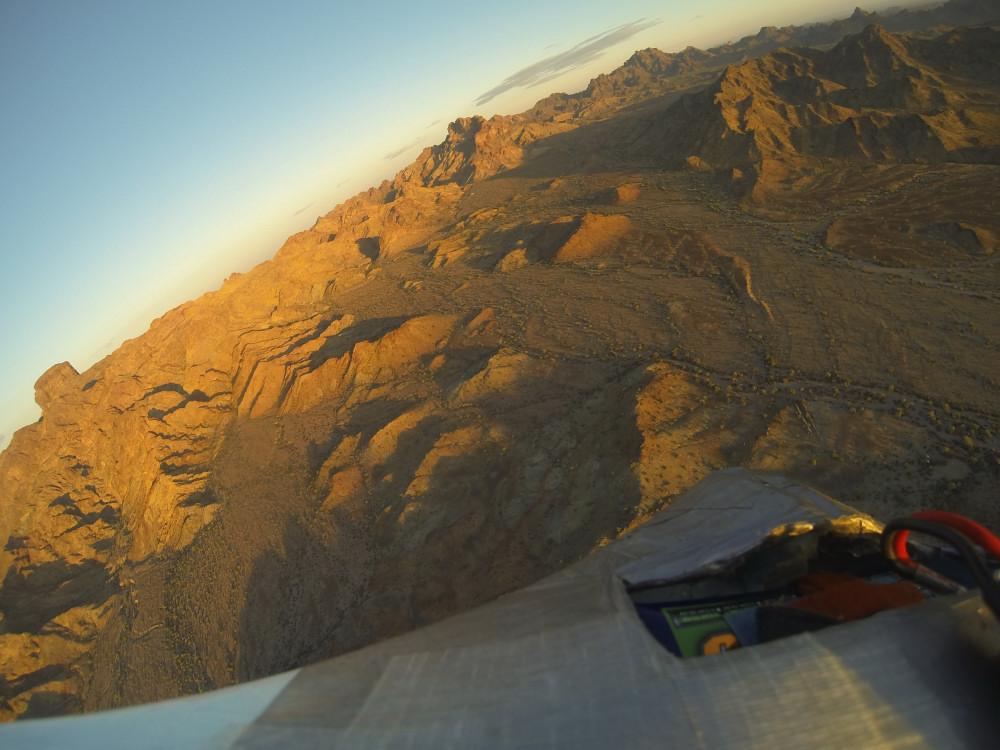
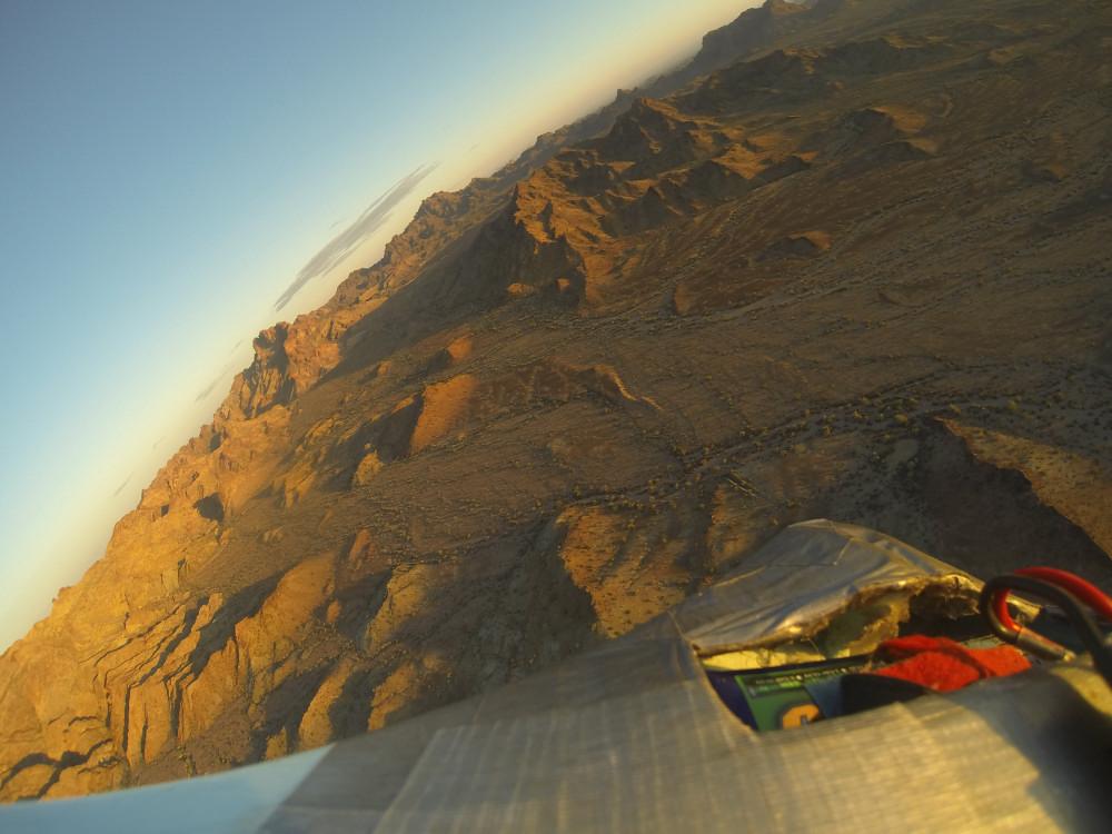
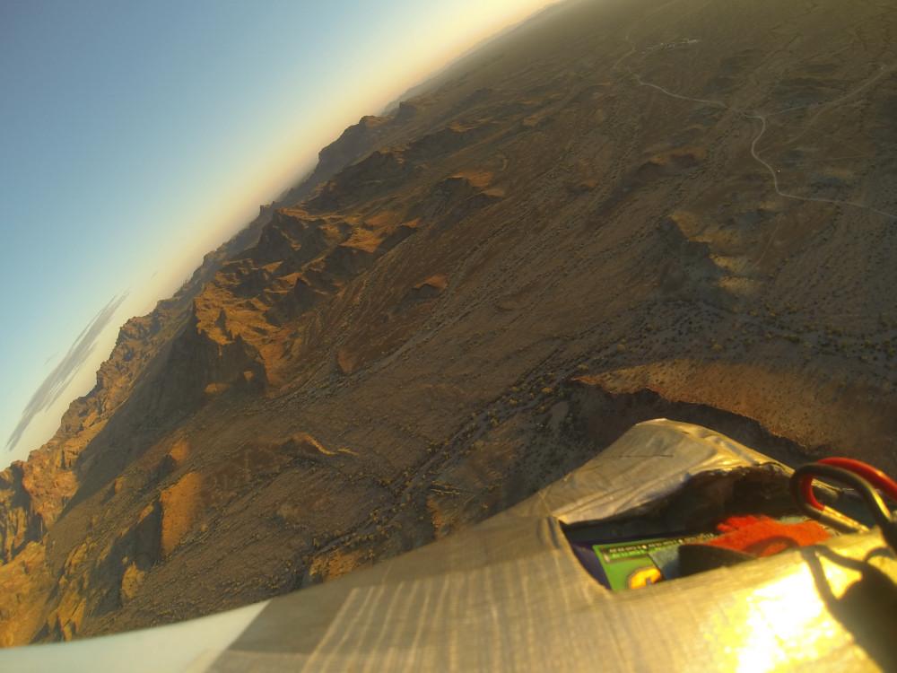
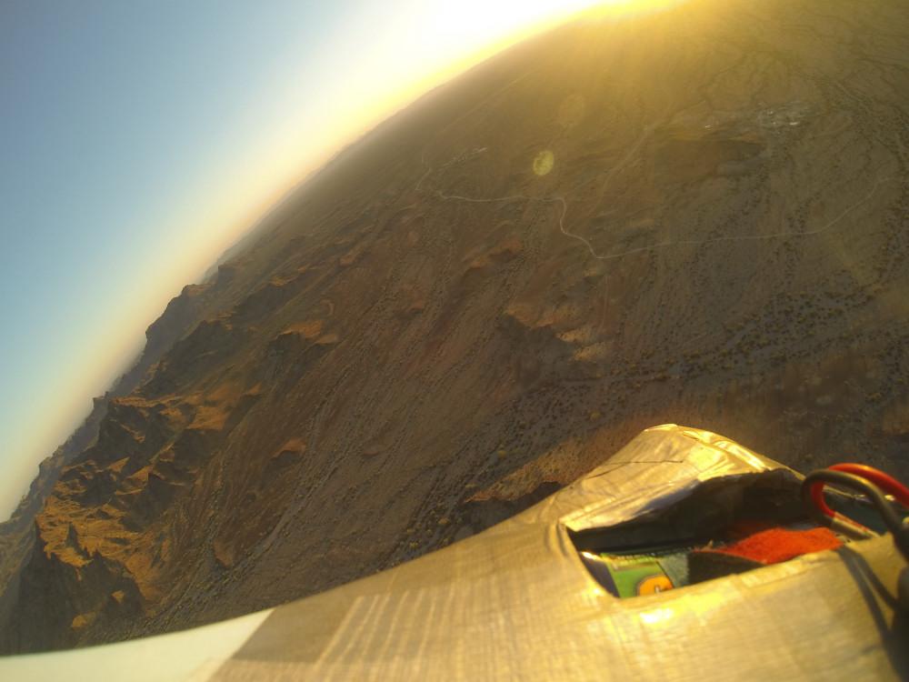
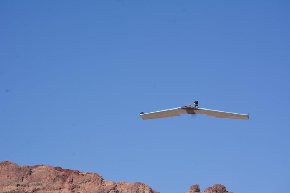
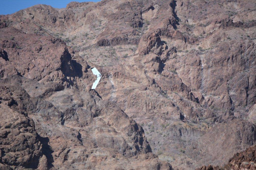
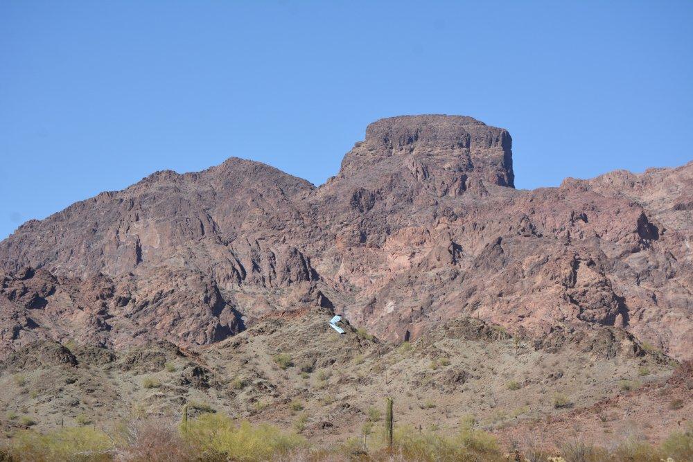
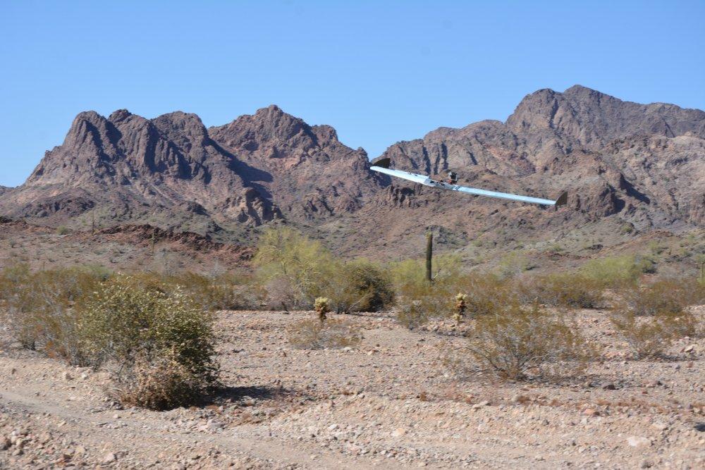
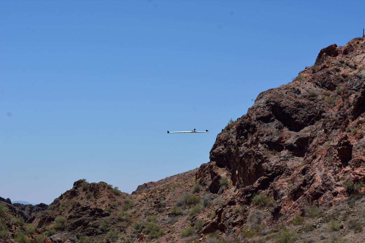
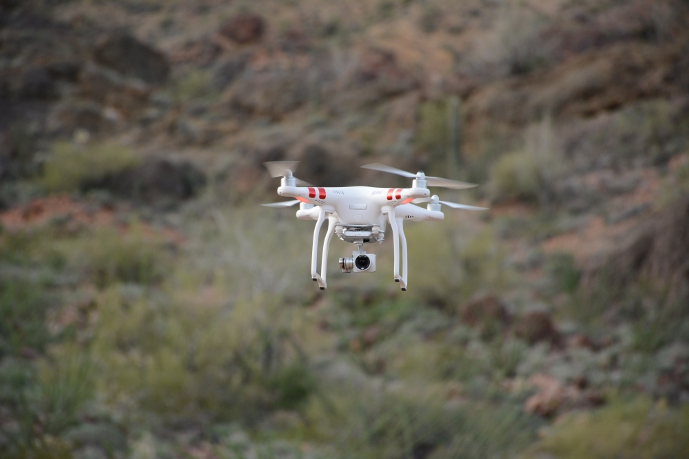
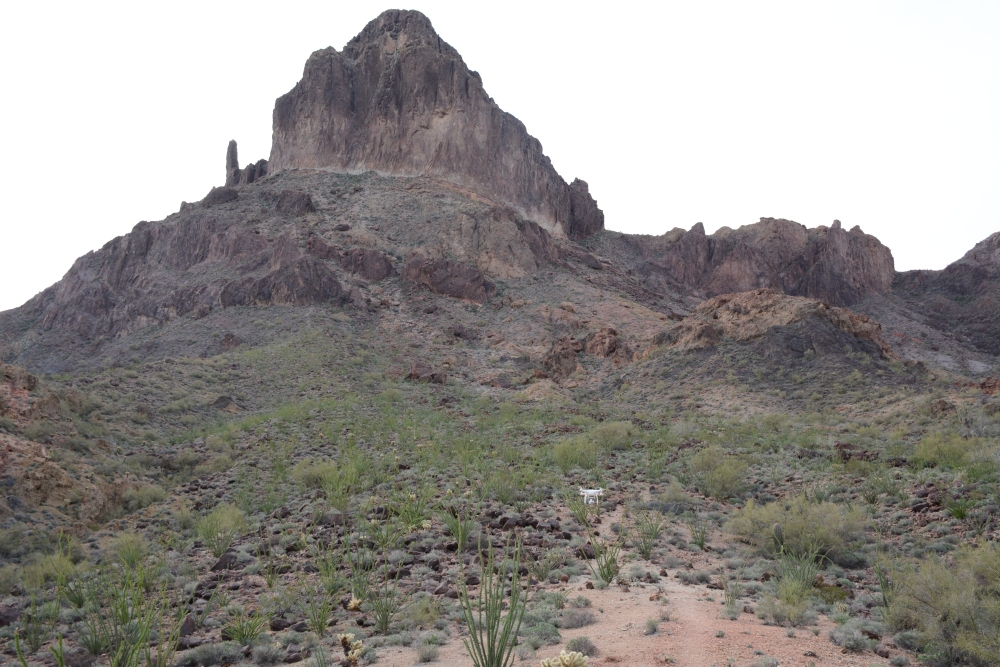
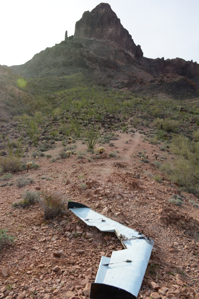
I have flown my RC video planes and quadcopters several times near or on Castle Dome Peak. I have YouTube links here to the videos I have shot and where I flew, and below these links are a few aerial photos from the GoPro. Finally there are some ground photos of the plane flying from the May 2015 flight.

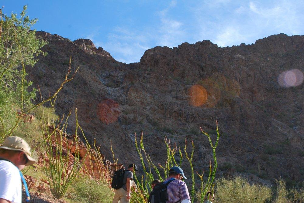
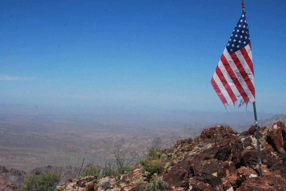
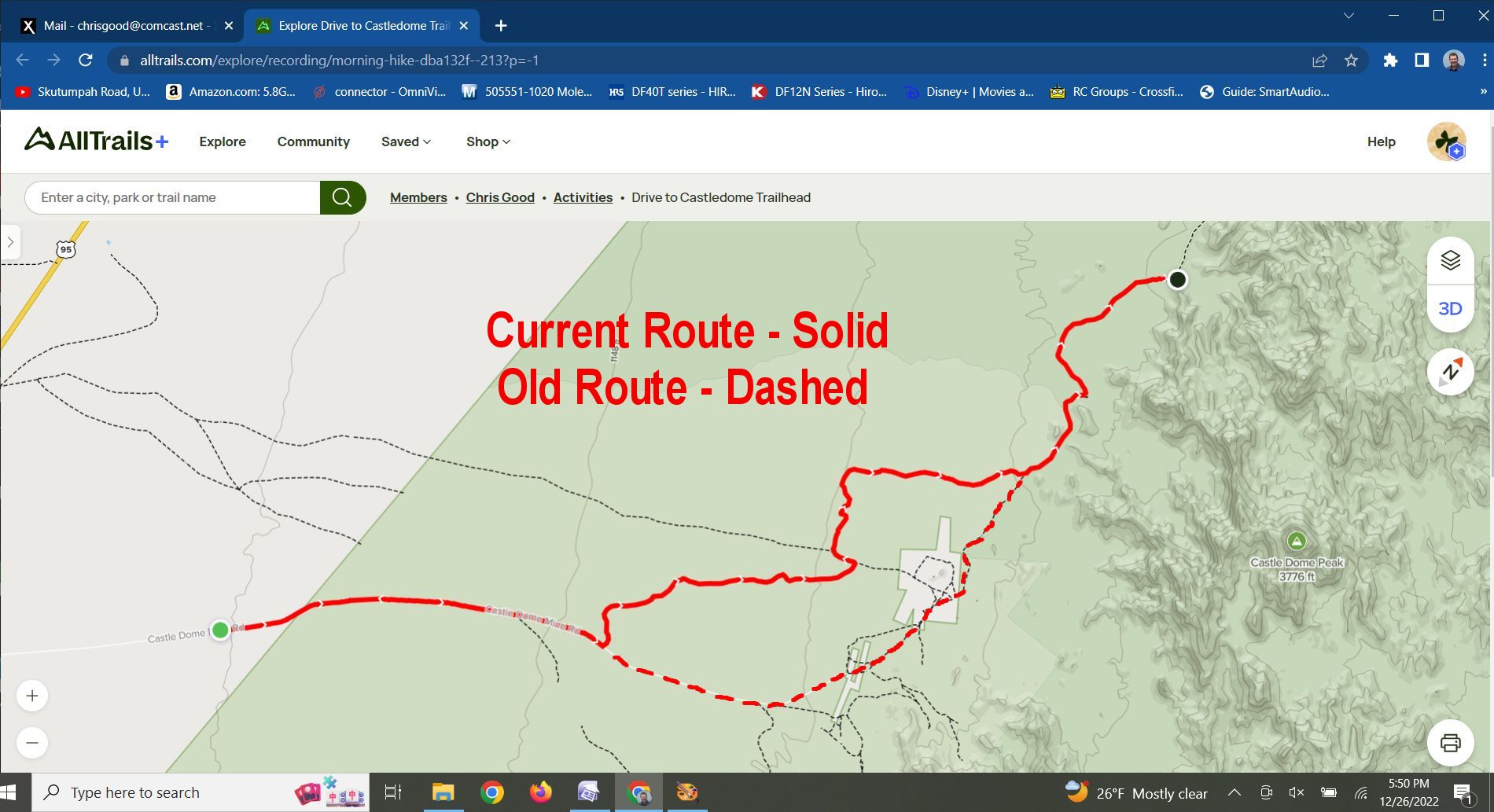
This first climb started on a Saturday, 16 March 2013, with a large group of us trying to follow the directions we found on-line to get to the trailhead. None of us had done the climb before, so the on-line directions were our best source of data. We found what we thought was the right trailhead, and followed a wash going up towards the peak. We made it quite a ways up, passing a few cairns and even a large American flag and pole planted along the trail, but eventually hit a vertical section which did not seem to match the descriptions on-line. We turned back and did more research that evening. We found out that we had started on an alternate route to the top which did actually make it to the top, but the overall route was much longer and more difficult than the normal path. We had also wandered off this path when we hit the vertical section, so that wrong turn was a dead-end.
Wrong Way Saturday
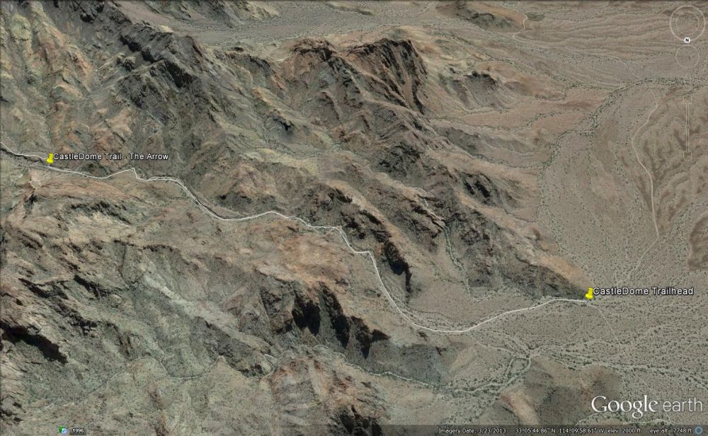
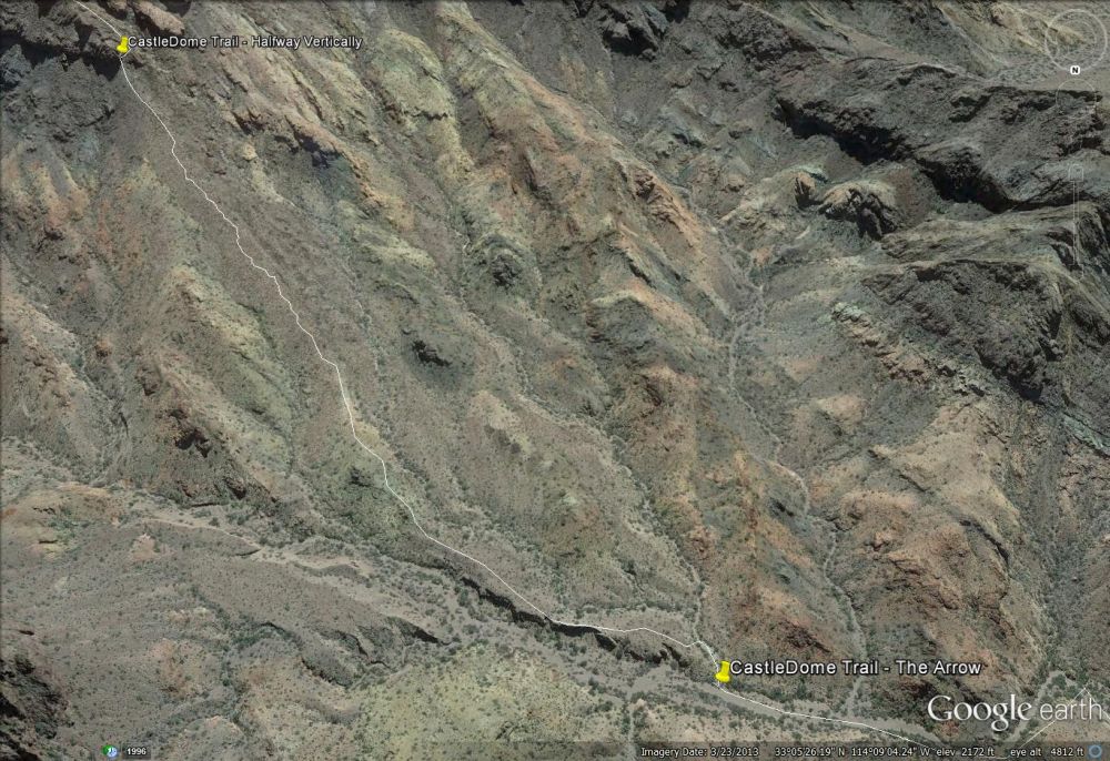
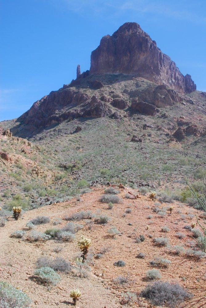
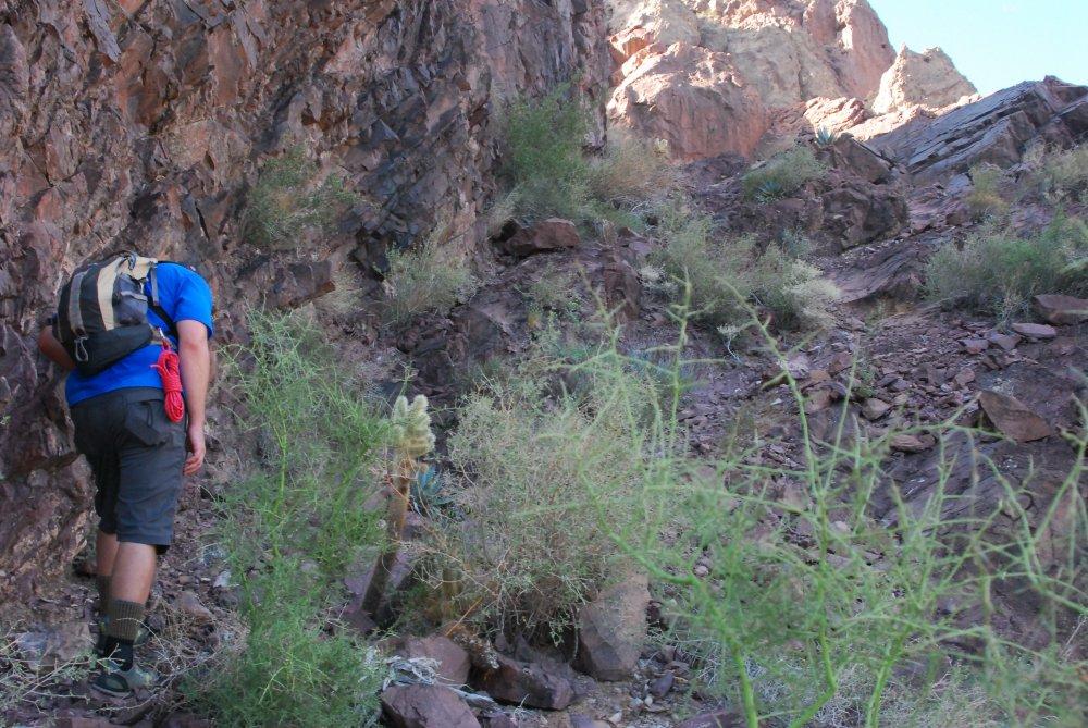
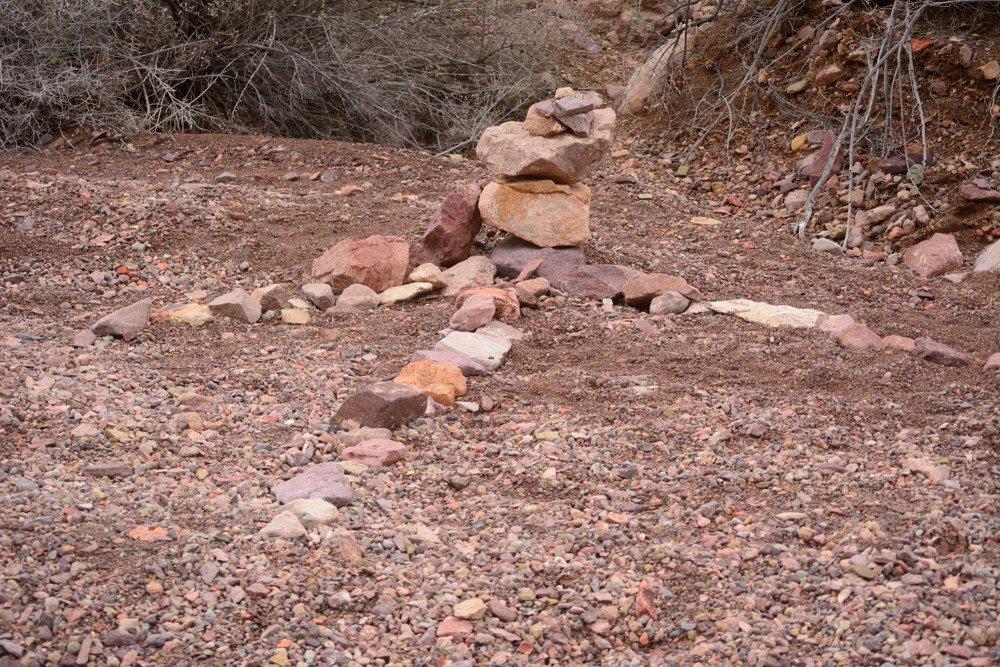
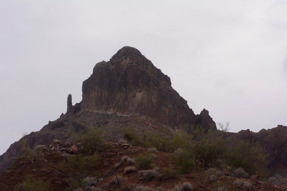
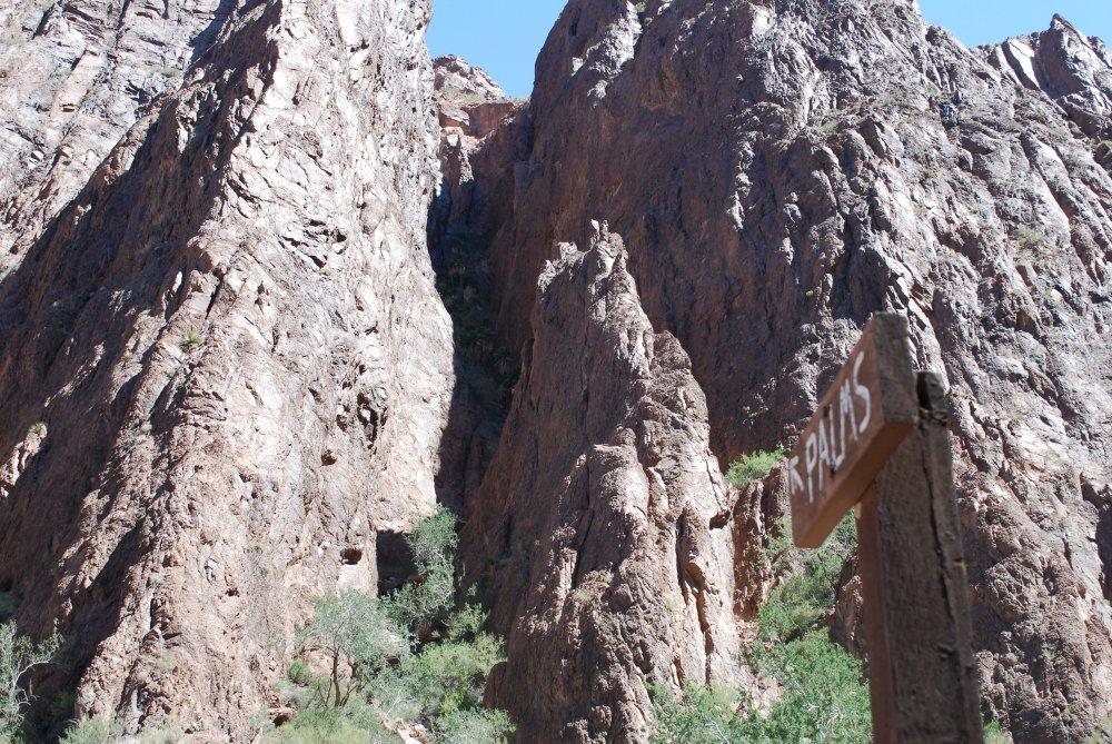
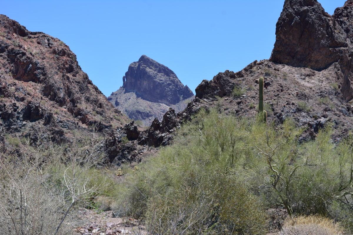
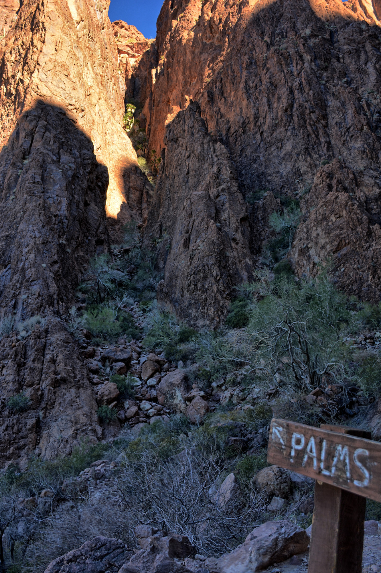
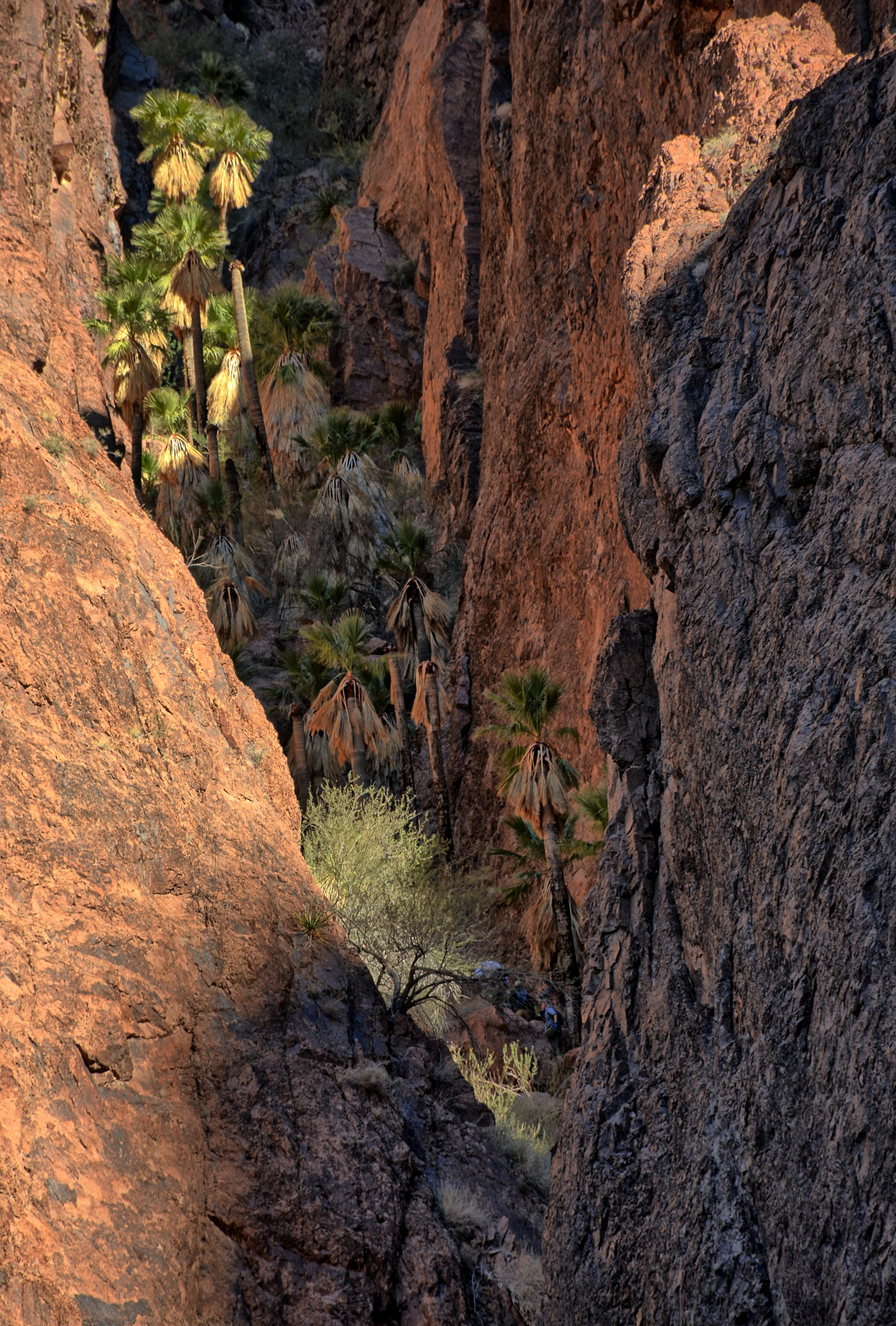
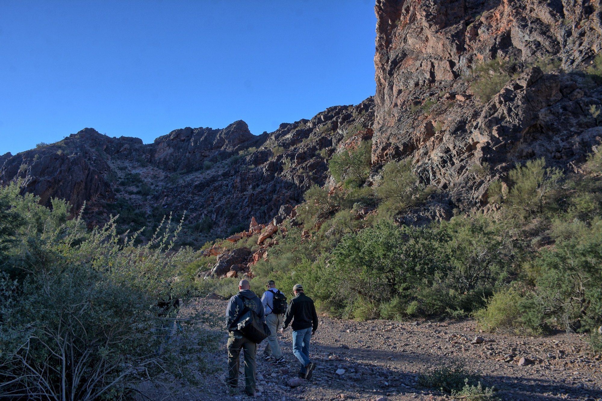
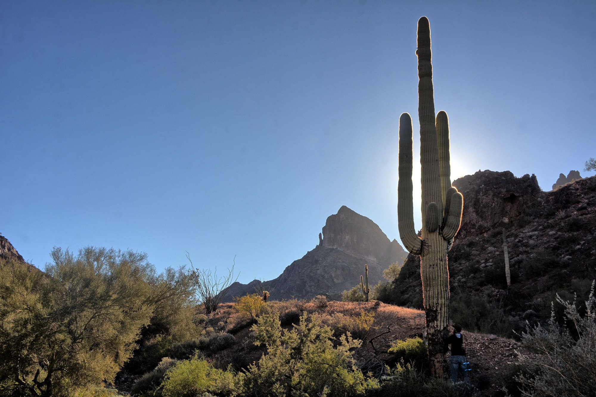
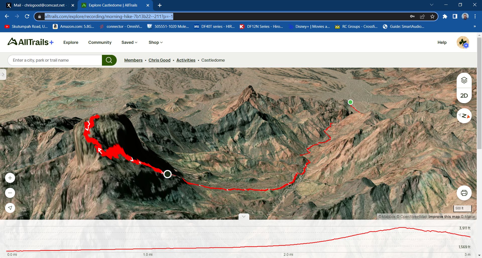
We restarted the next morning on Sunday, 17 March 2013, and went directly to the correct trailhead. Parking at the end of the 4-wheel drive road, you begin by hiking along a wash for about 1.7 miles, where you come to a large rock arrow in the dirt. It points up and into a smaller wash coming from the side of the peak. Turn here and follow the cairns up and towards the peak itself, aiming for the spire on the left side of the peak. The route along the trail is marked with a lot of cairns, and on our first trip, we followed it to the top with only one setback; the side wash up towards the peak (from the arrow) is littered with false cairns, so we followed the side wash a little too far before climbing out of it.
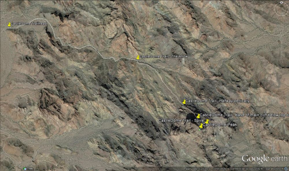
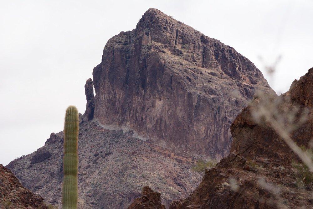
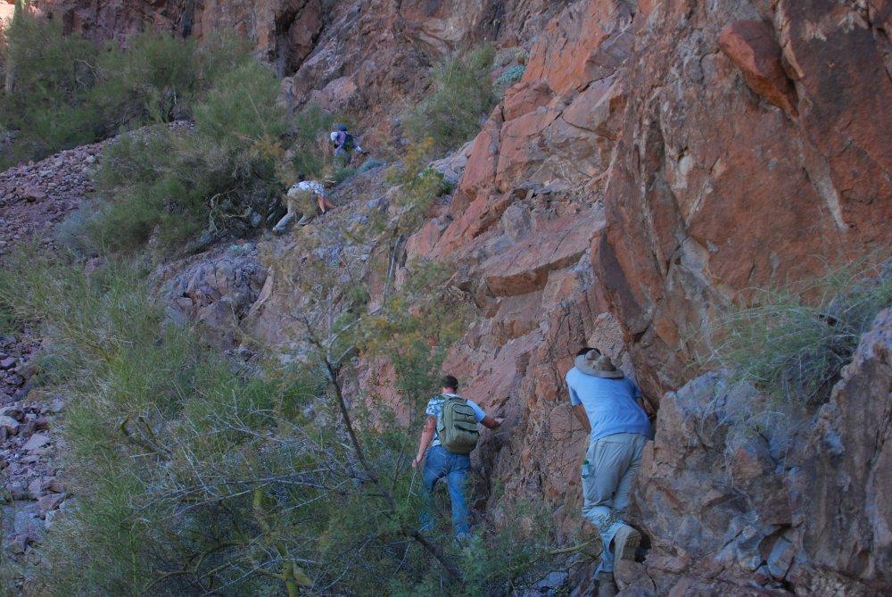
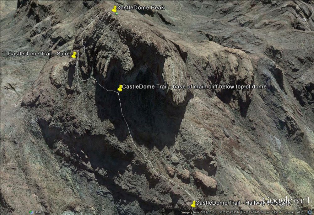
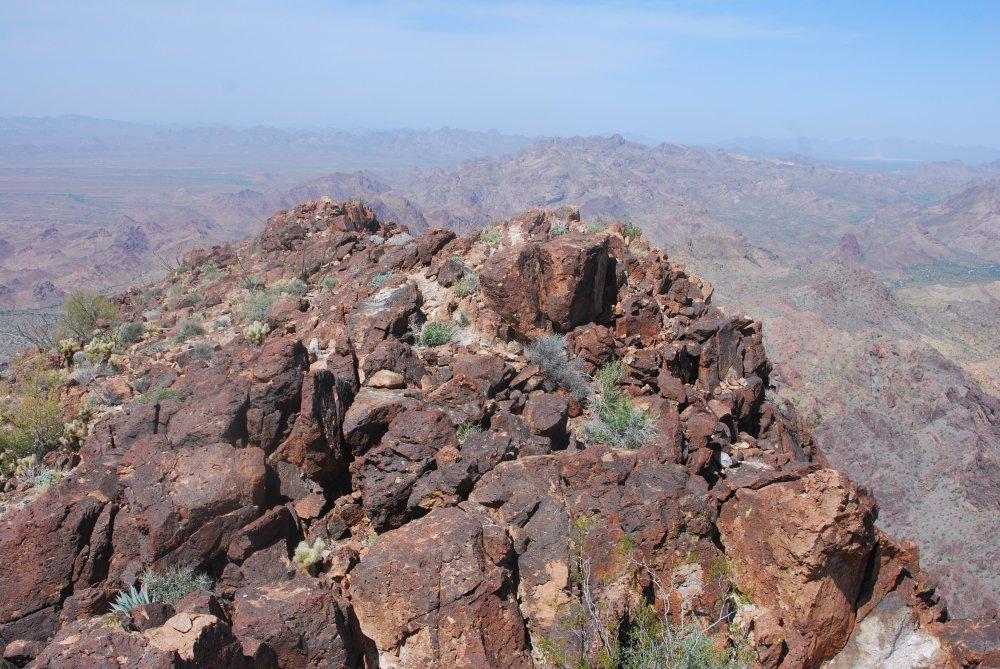
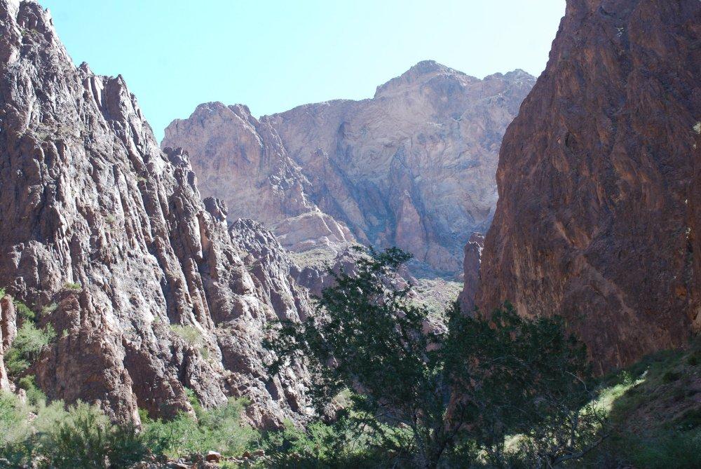
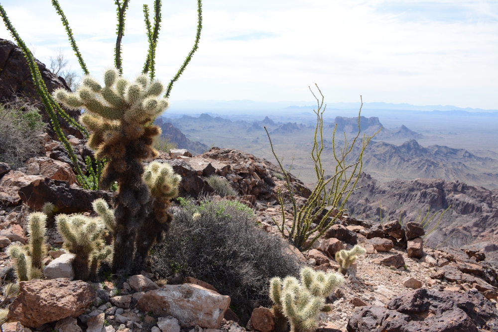
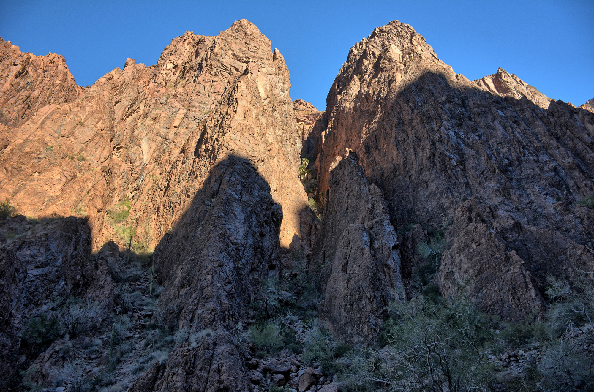
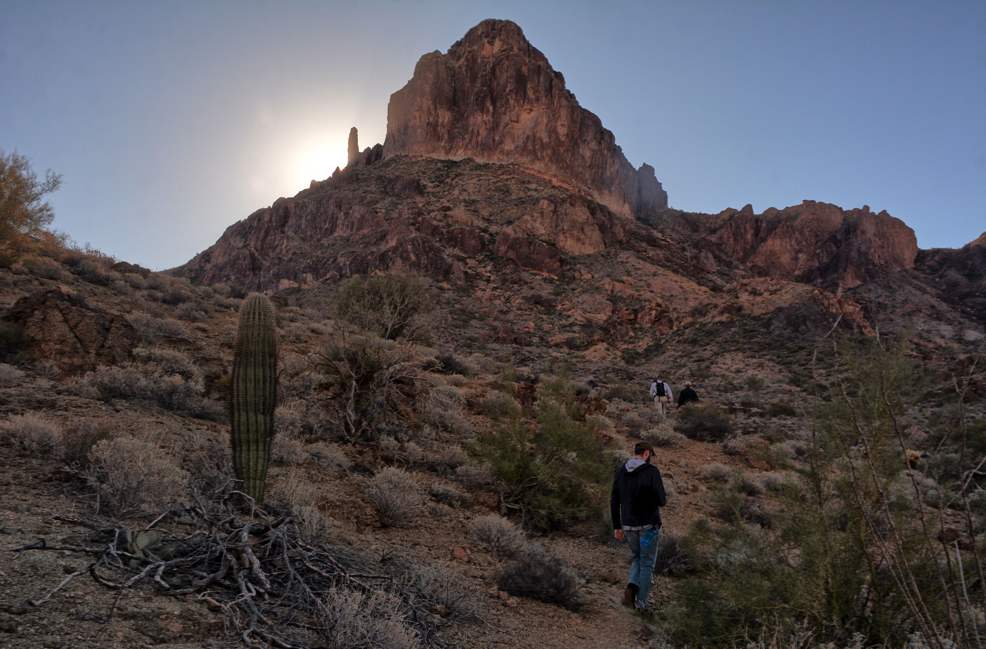
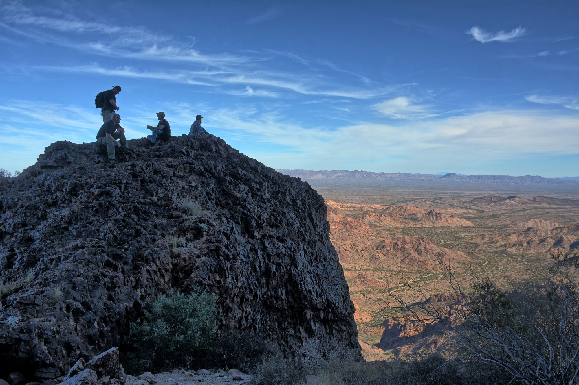
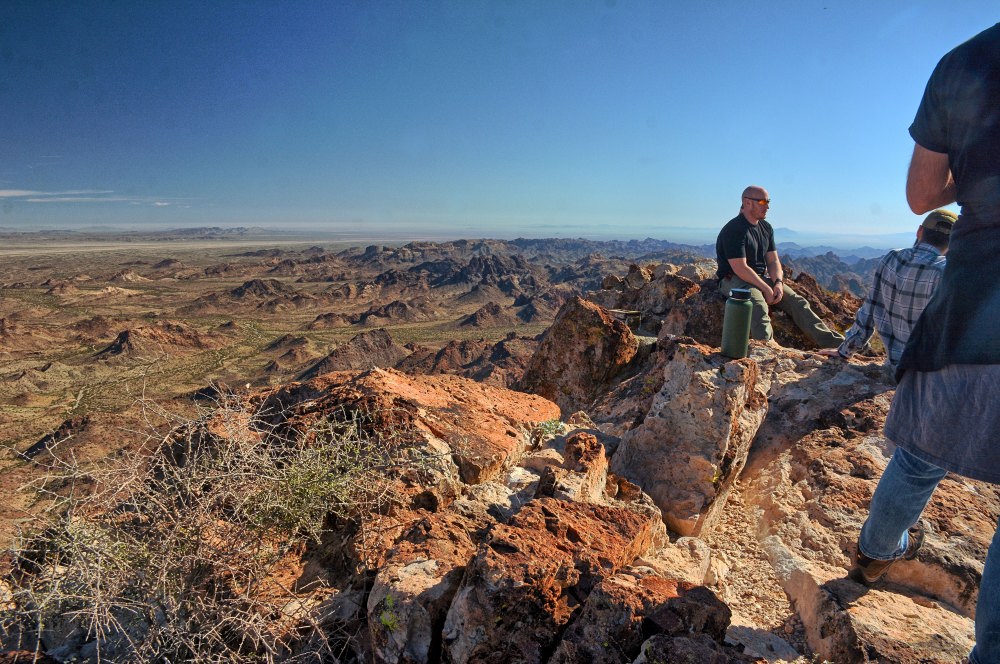
You will eventually get to a point just below a small cliff face, where the trail goes up and to the right for about a 100 feet. There are good views here at the base of this small cliff, and it is a good spot to rest and enjoy the climb – you have made it about half-way vertically at this point. This is where the rock scrambling starts. Follow the cairns up to the right for this small jog to the right, and then turn left and head towards the spire through lots of lose rock, eventually reaching the main cliff face below the top of the dome. Follow the cliff face around to the left, toward the spire on the left side of the peak. Between the spire and main dome is a small saddle. Just below the top of this saddle on the right is a vertical climb of about 20 feet. Head up this climb and you will see more cairns and more vertical climbs. The trail flows around to the left, with some exposure at this point, and then heads pretty much straight up for 300+ ft vertically. You will eventually top out at 3788 feet with incredible views.
The weather was perfect for this climb, and we all were very happy to have tried the second day with good results. The next day at work, we flew over the peak while conducting our flight test, and captured this aerial video of Castle Dome. Here is some video at the top, shot by another of our hiking group.
Two of us went on this climb on 1 September 2013, and based on the sign-in register at the top, we found that we were the first people to have climbed Castle Dome since the beginning of August. The temperatures in August are just too high to make this climb enjoyable. The temperatures on this hike almost did me in; the temperature by late morning as we were hiking back to the car was above 111 deg F. My hiking partner had never been on Castle Dome before, but he was an experienced hiker. We made it to the top early with nice temperatures for hiking, but by the time we had descended back to the flat terrain of the wash on our way out, the temperatures were soaring. I had brought along over 1.5 gallons of water and Gatorade, but I ran out of water, and finally reached the point of pouring Gatorade over my head in the final section of the hike back to the car. I was approaching heat exhaustion, but the car's air conditioning cooled me off before it became critical. If you ever climb in August or September, make sure you do it very early or late in the day. The temperatures by 10:30 AM were unmanageable. I hiked all the way across the Grand Canyon from the North Rim to the South Rim a week later, and the weather and temperatures were great for that trip.
My third climb, on Sunday, 9 February 2014, was again with a large group of friends. This was a mix of veterans and people who had never climbed it before. This was a very good trip, with excellent weather and temperatures, and everyone was in great spirits. A different group of coworkers from my office had climbed it the day before, and we arrived at the summit to find their names on the sign-in register. In fact, our group was doing flight test the day before on Saturday, and we had watched our coworkers at the summit as we flew over. I had my GoPro Hero 3 on a head mount, and recorded the whole climb to this video. The video starts about halfway up vertically, just before the first set of scrambles.


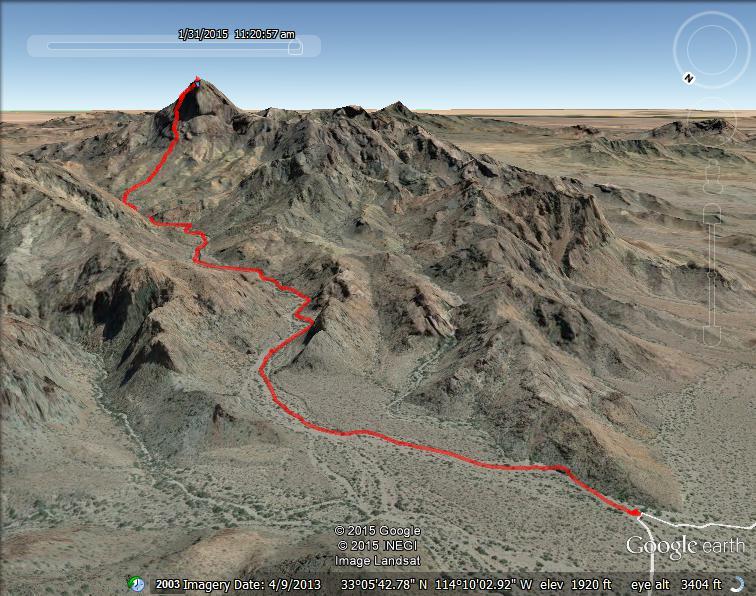
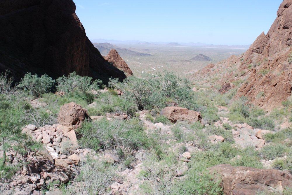
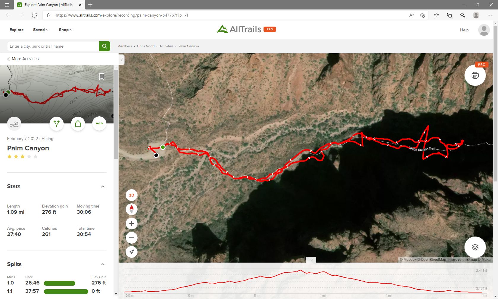
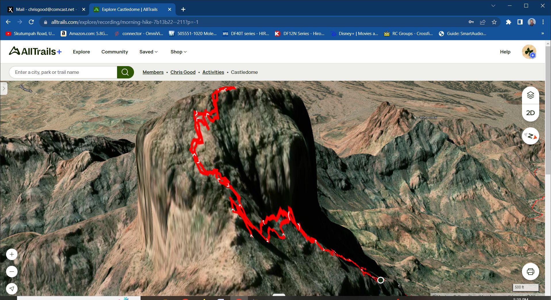
This climb on 31 January 2015 was my fourth climb to the top, and I was hiking with two friends who had also been to the top before. I installed Google MyTracks on my phone and recorded the GPS route to this .kmz file. Download it and view it in Google Earth for more details. It is also plotted in the picture at the very top of this page. I had my GoPro on a head mount again for this climb, and recorded the climb like the previous trip. The video on this trip starts at the large arrow that points the way up and out of the wash. The route to the top is about 2.75 miles one-way, and the vertical climb is 2000 ft. On this climb, we made it to the top in 2 hours 45 minutes.
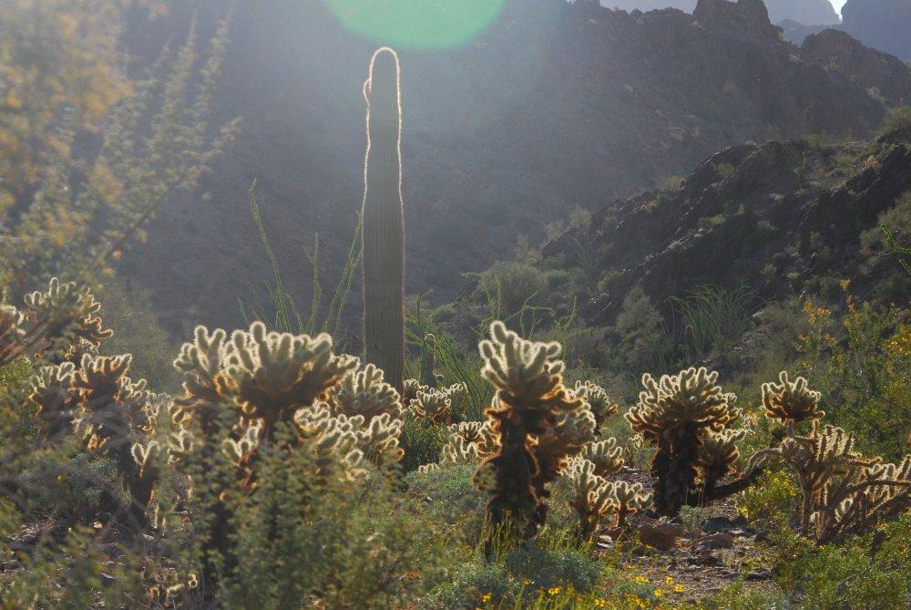
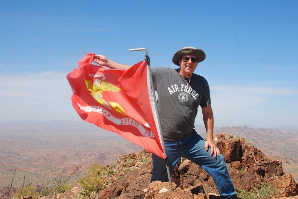
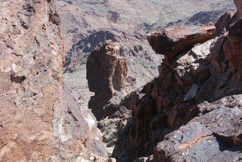
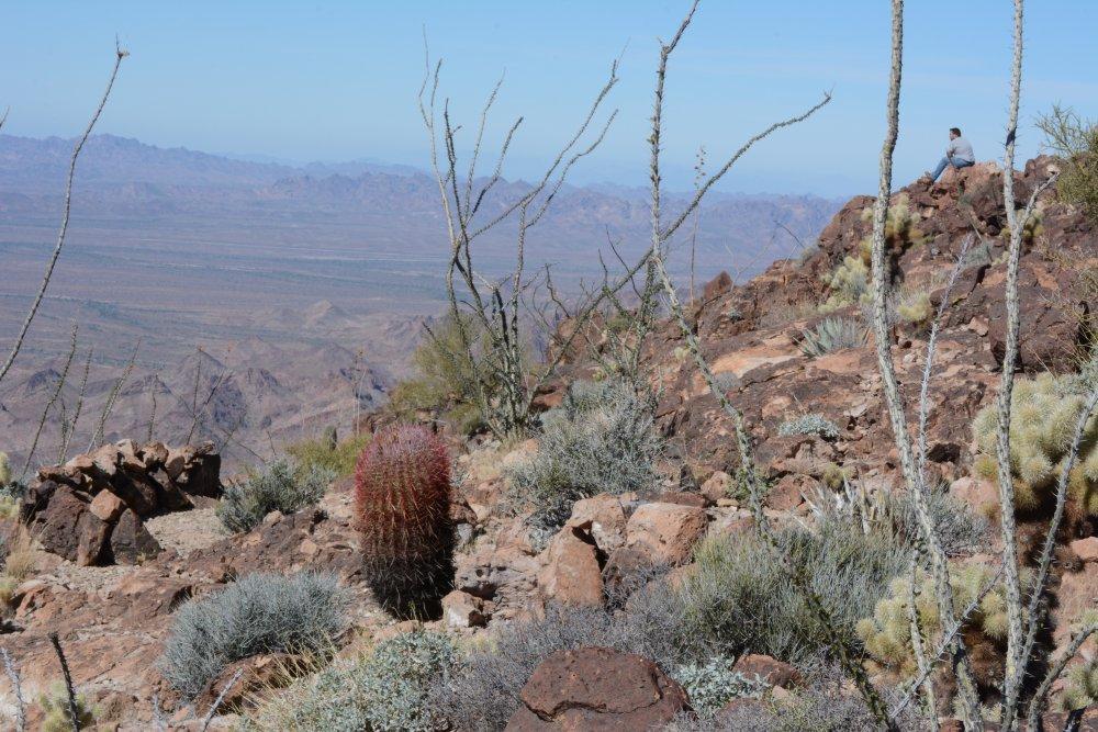
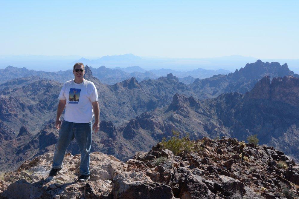
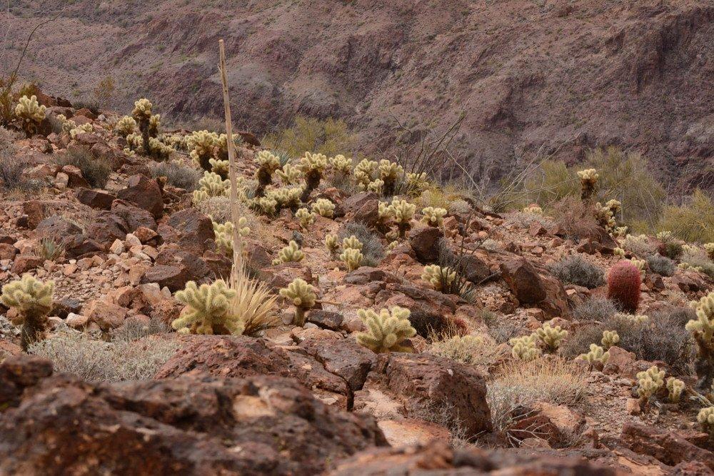
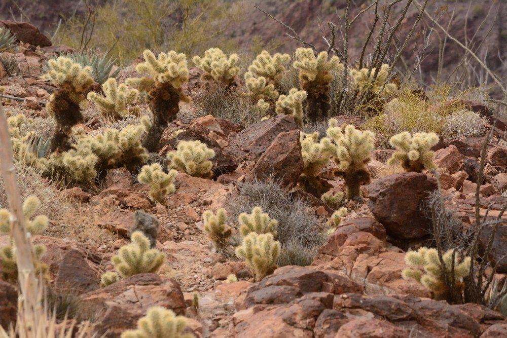
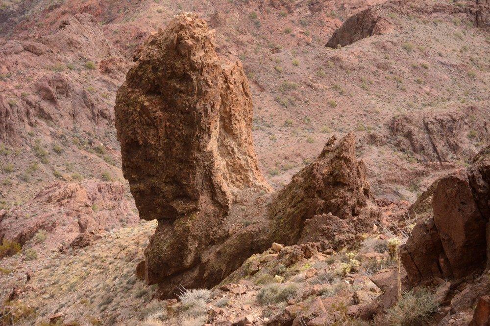
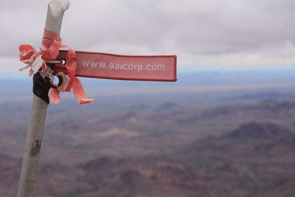
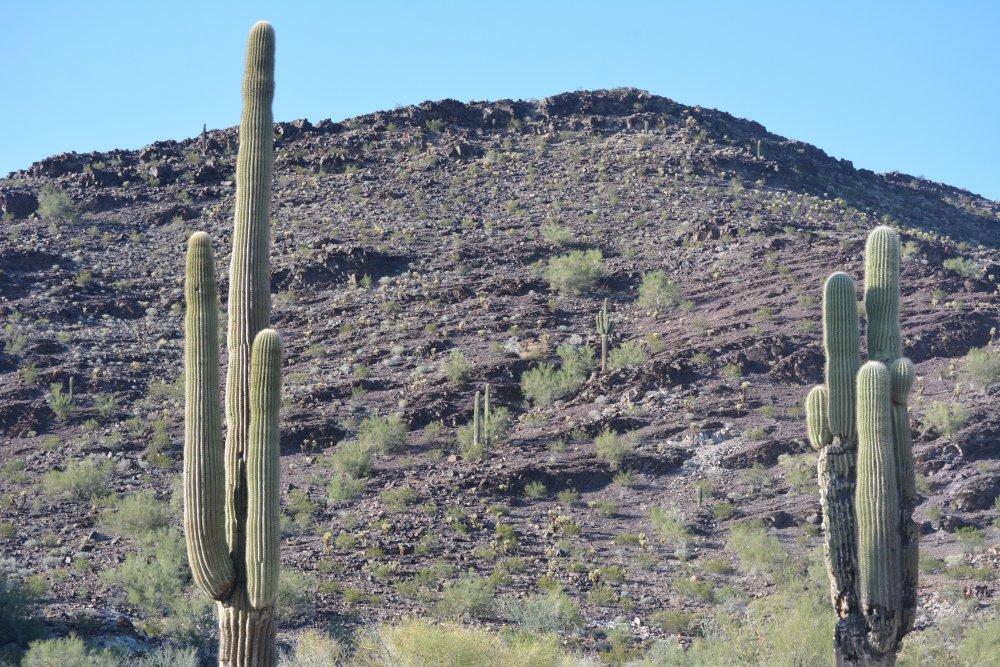
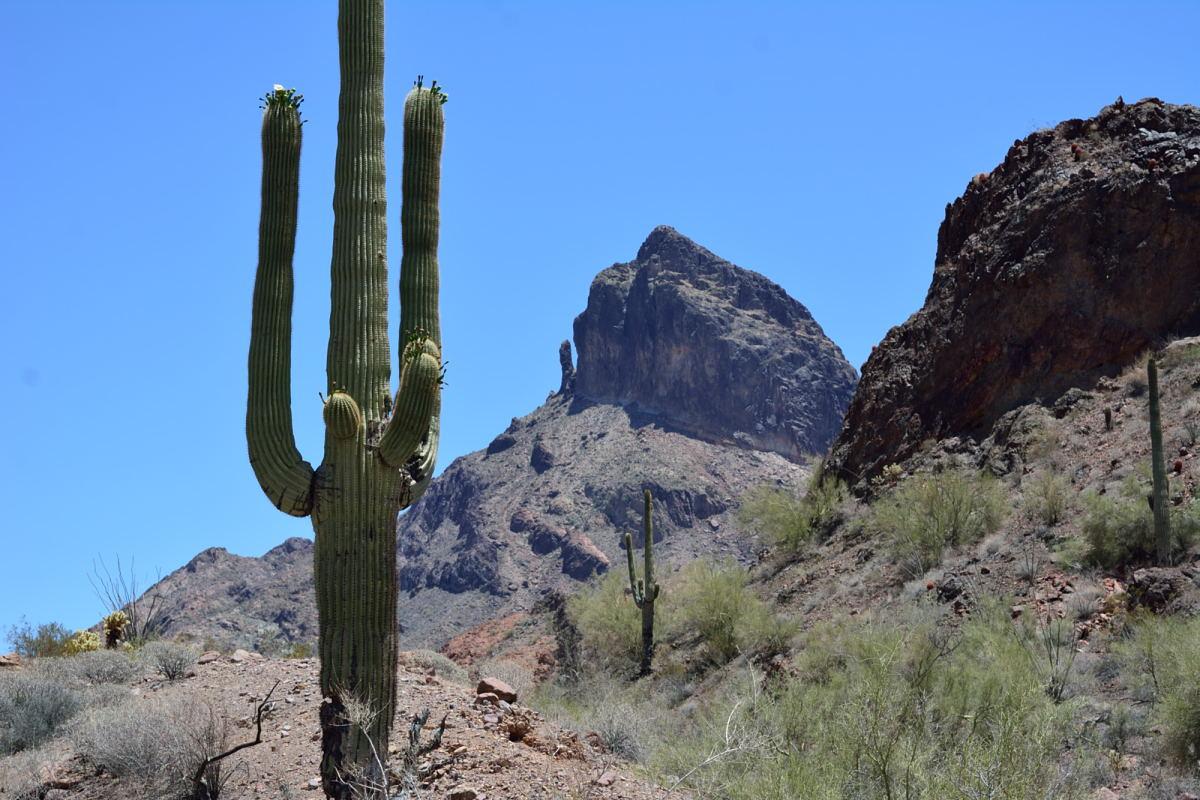
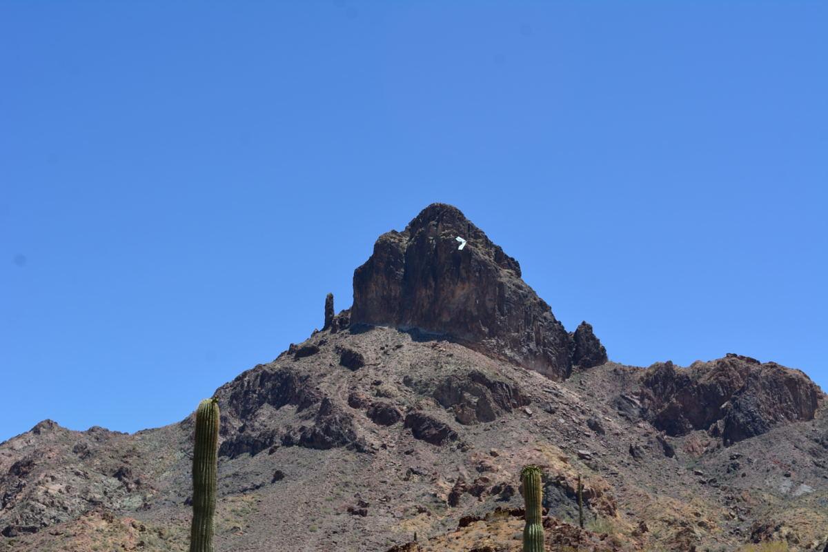
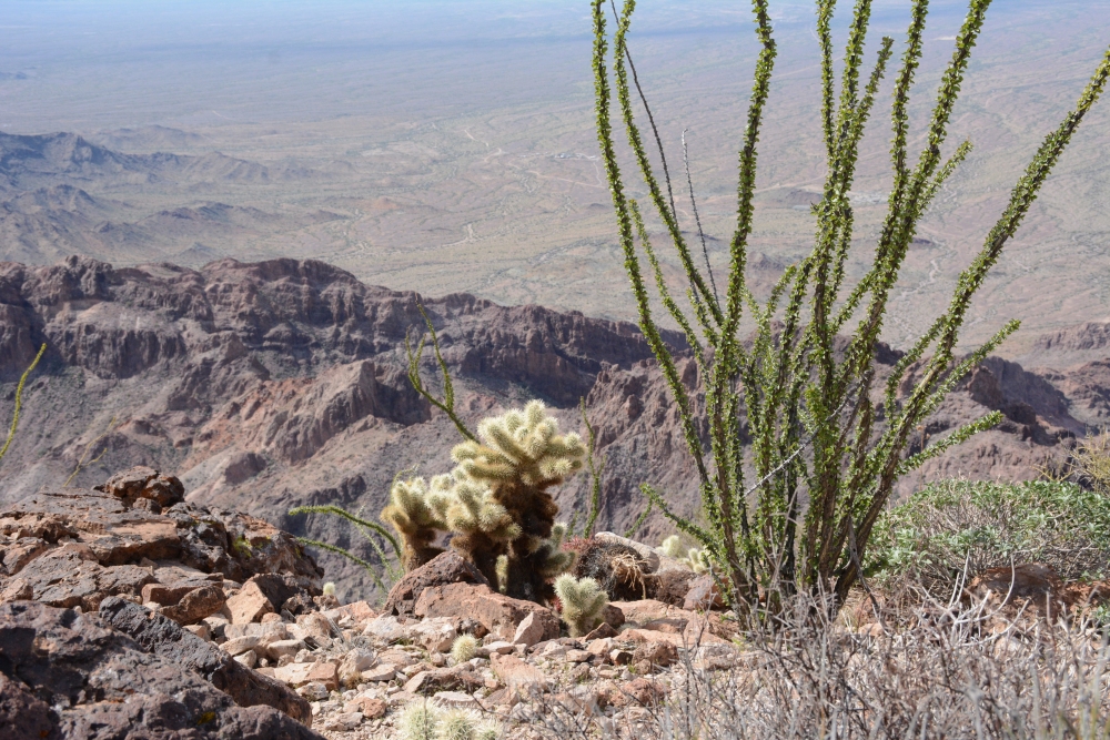
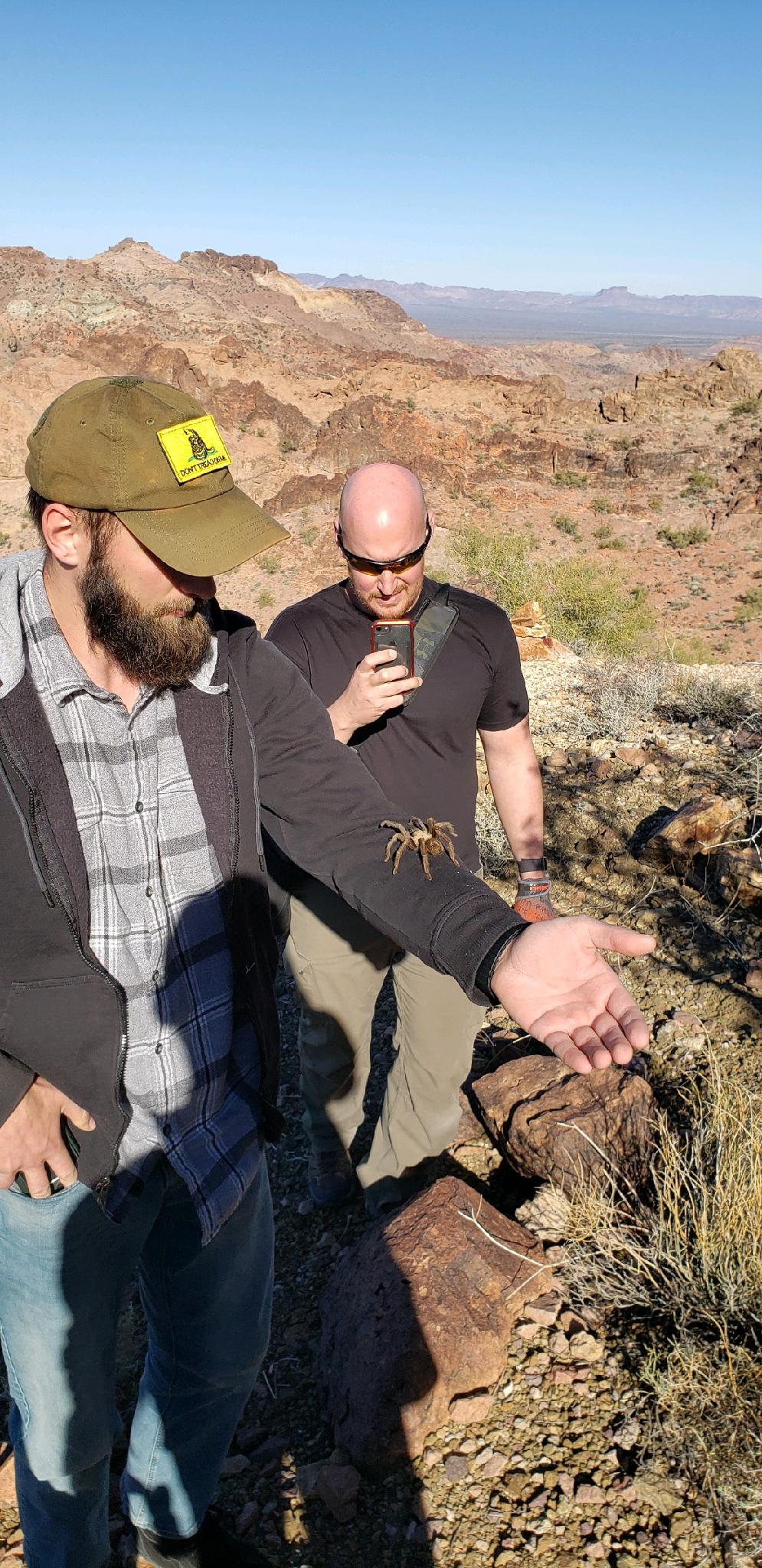
The photo on the left below shows the Castle Dome flight-line. There is cholla everywhere along the trail and covering the top of the peak, and living up to its nickname “jumping cholla”, it will join you and come along for the ride if you touch it. The next photo looks down on the spire next to the peak that you should use as a target when climbing. Our small AAICORP flag that was placed on the peak in February 2014 is still there, a little faded. Finally, there are two panoramas from the top, one looking to the east and the other to the west.


