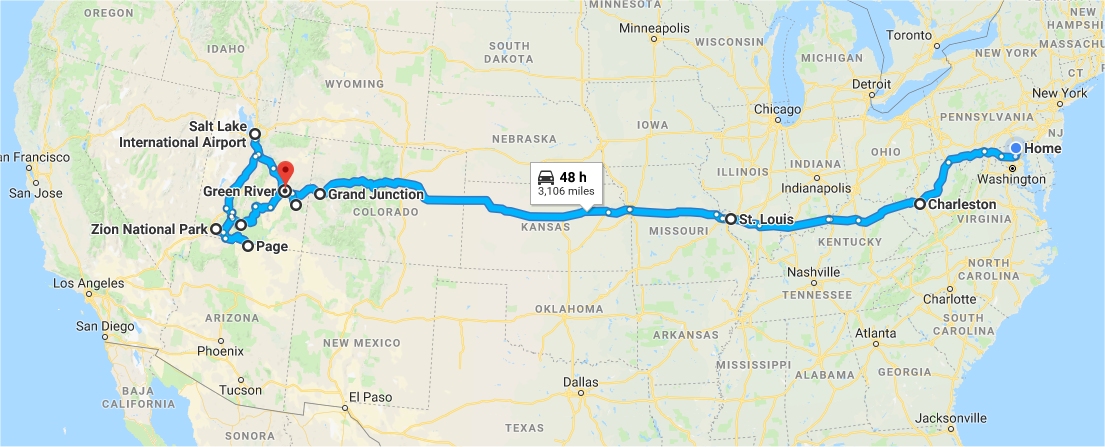
Chris had flight testing at Dugway Proving Grounds outside of Salt Lake City,
Utah in May and June 2018. He decided to make a long trip of it, and planned to
take Nathan and Eli for different sections of hiking. Nathan drove out to
Utah with him, and they stopped at several parks. They started with
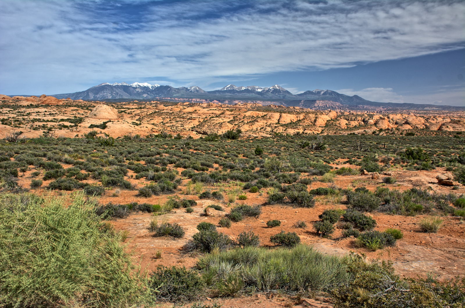
Gateway Arch National Park in St Louis, then visited Colorado National Monument, Arches
National Park, Dead Horse
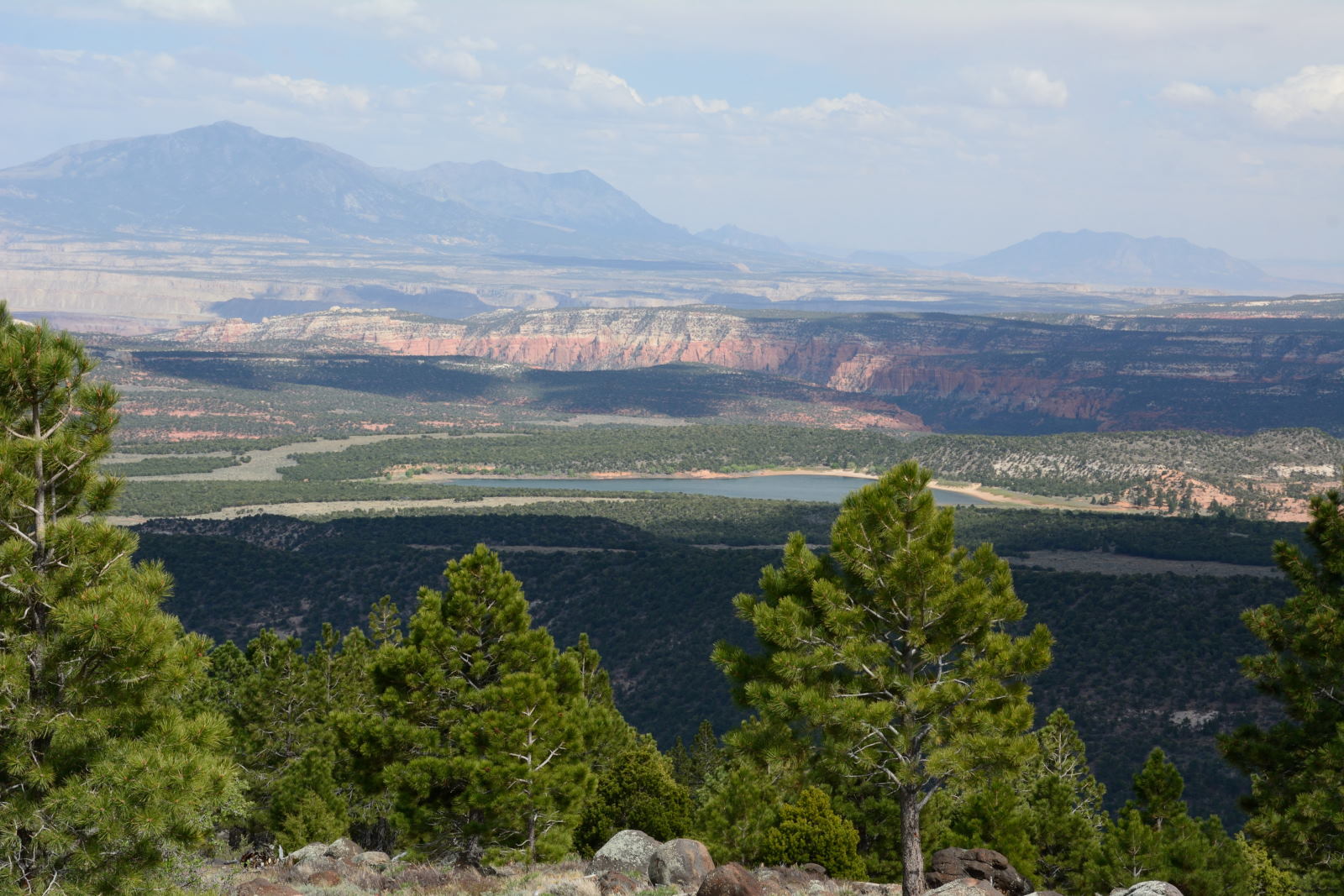
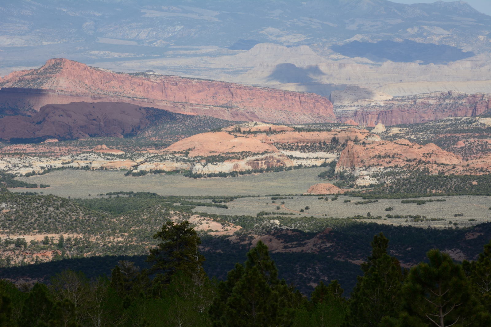
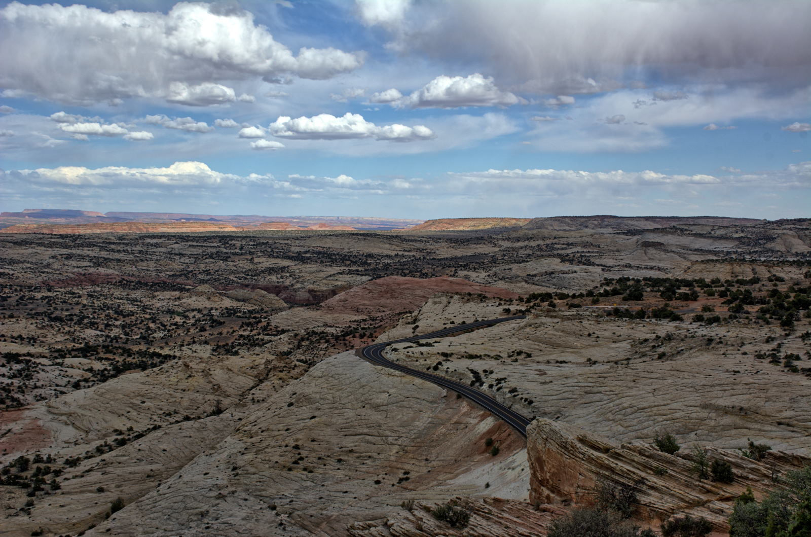
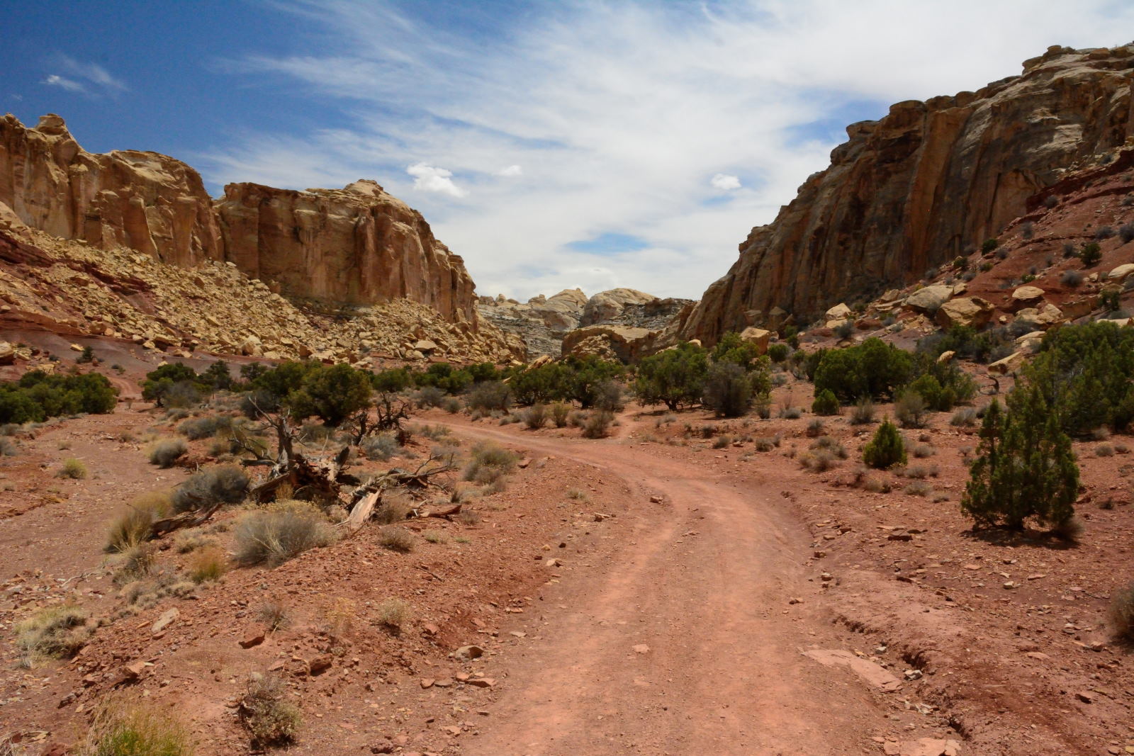
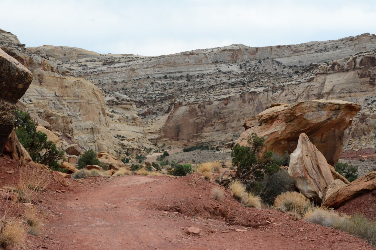
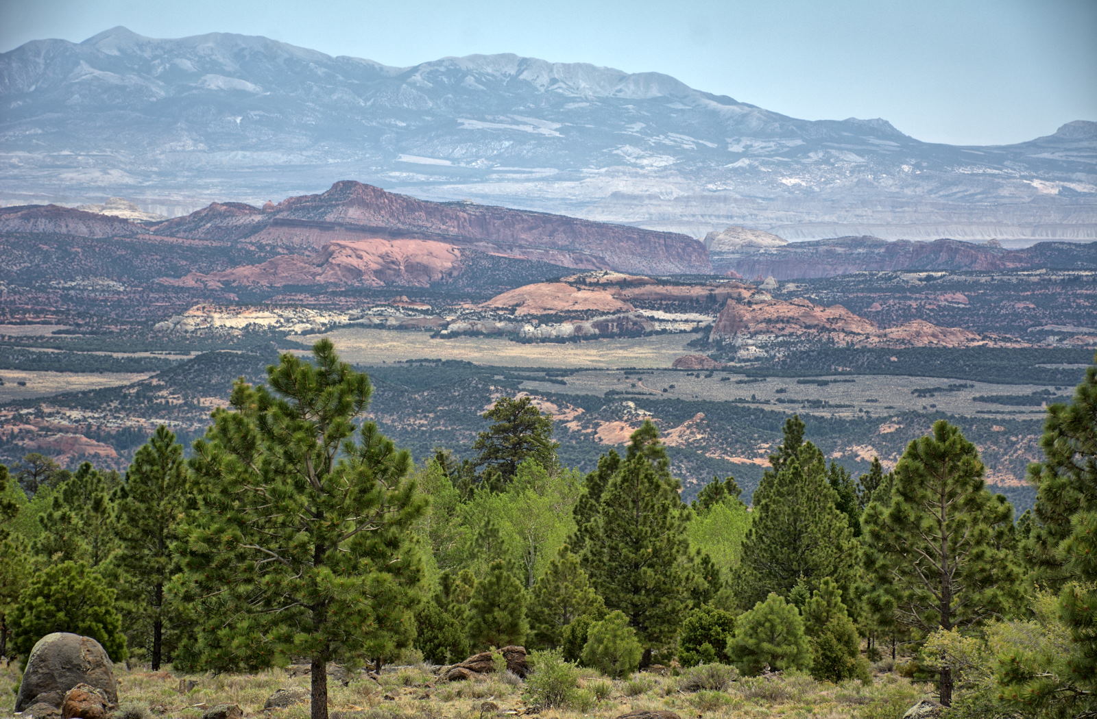
Point State Park, Canyonlands National Park, Goblin Valley State Park, Capitol Reef
National Park, Grand
Staircase-Escalante National Monument, and Bryce Canyon National Park. Chris and Nathan then met up
with Chris' sister Karen and her husband Doug while in Utah for a few days.
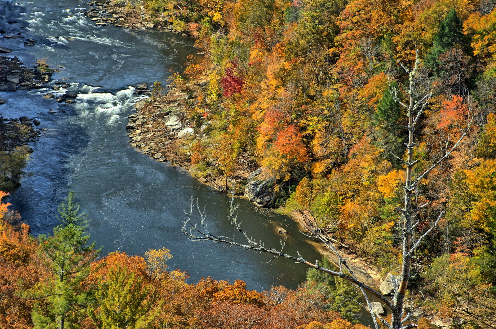
They camped together for three nights, and visited White Pocket in the
Vermillion Cliffs National Monument and the North Rim of Grand Canyon National Park. Chris and
Nathan then drove through Zion National Park to Salt Lake City, where Nathan flew home.
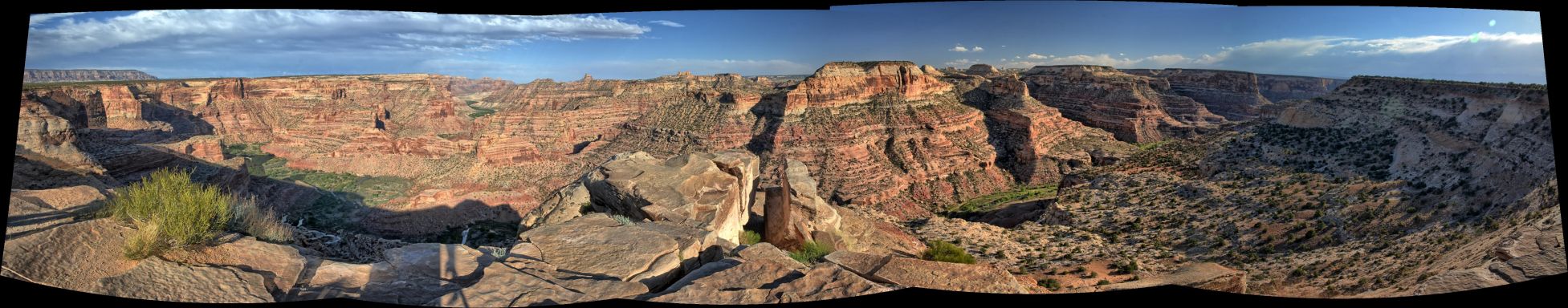
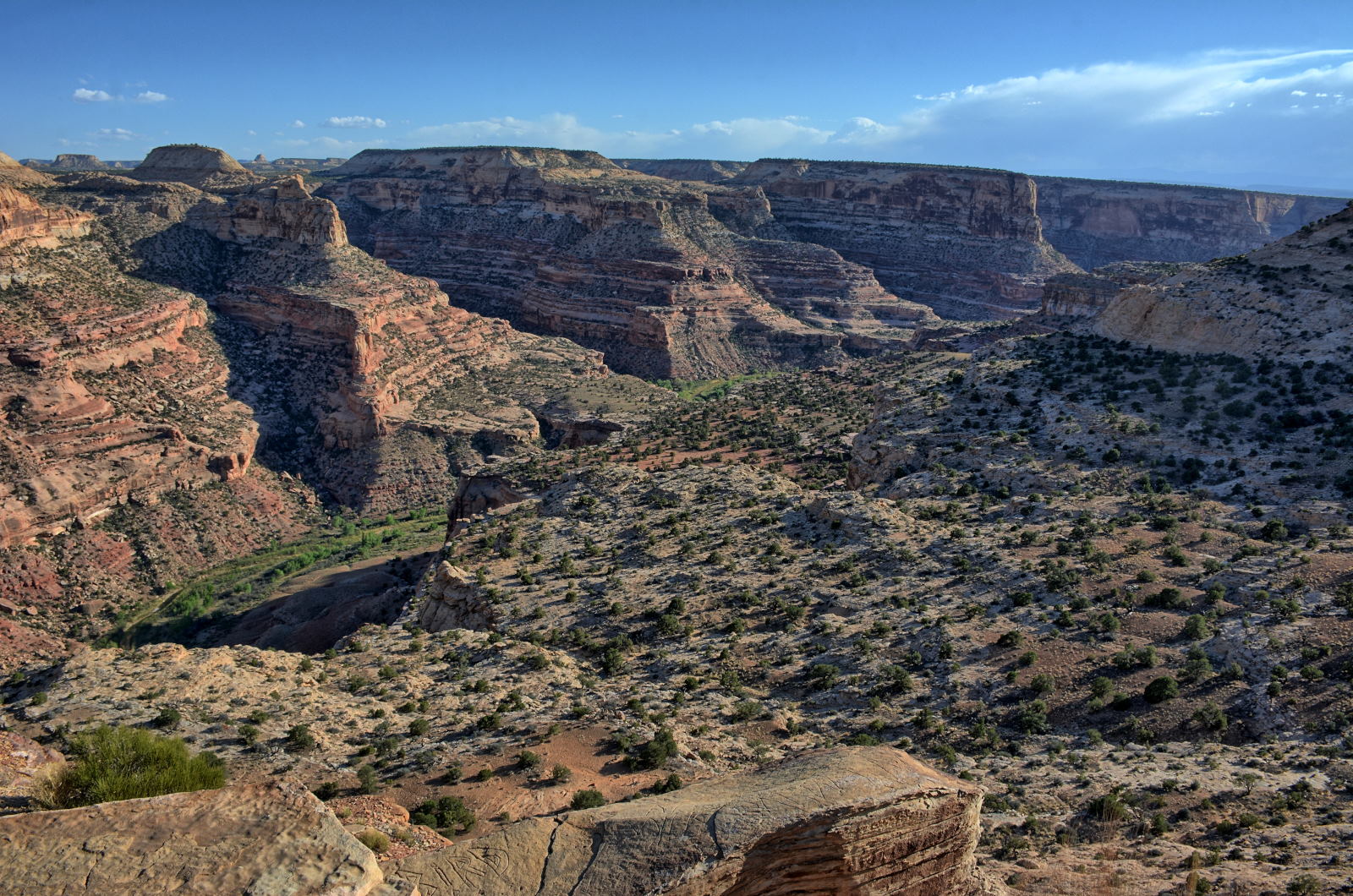
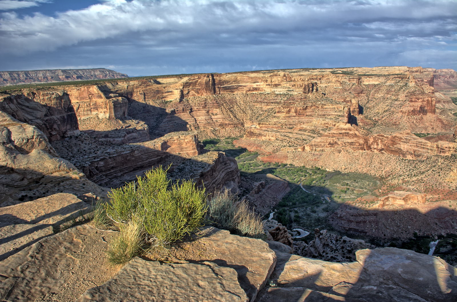
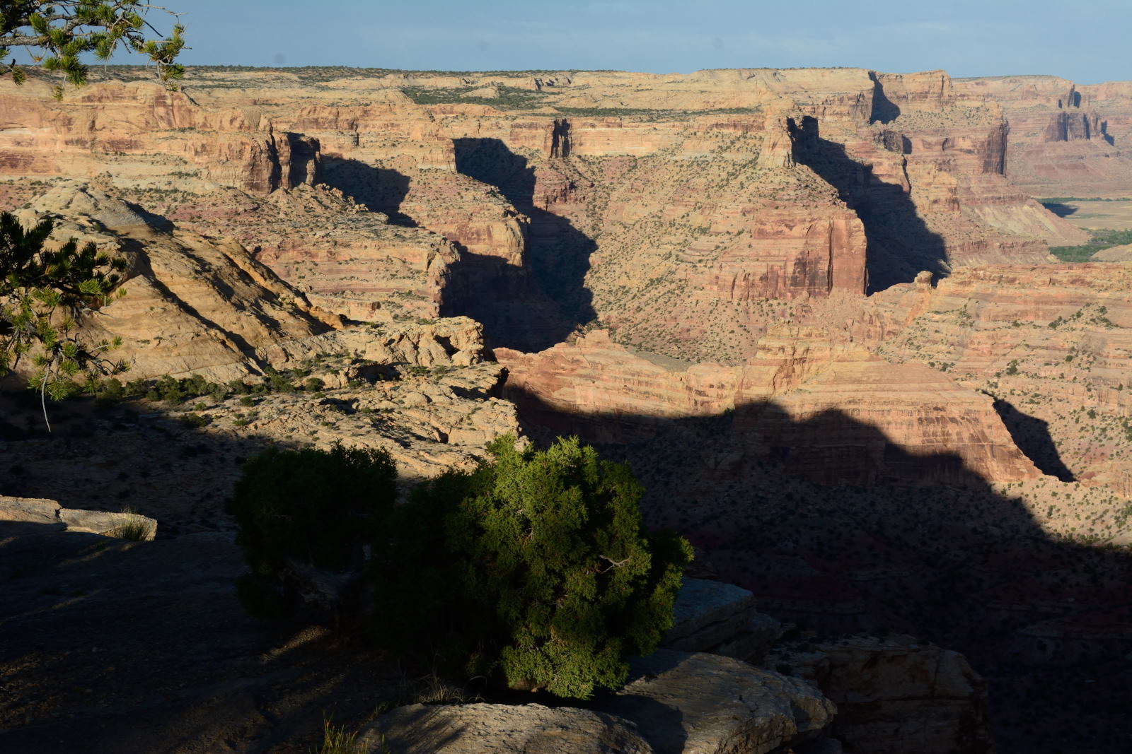
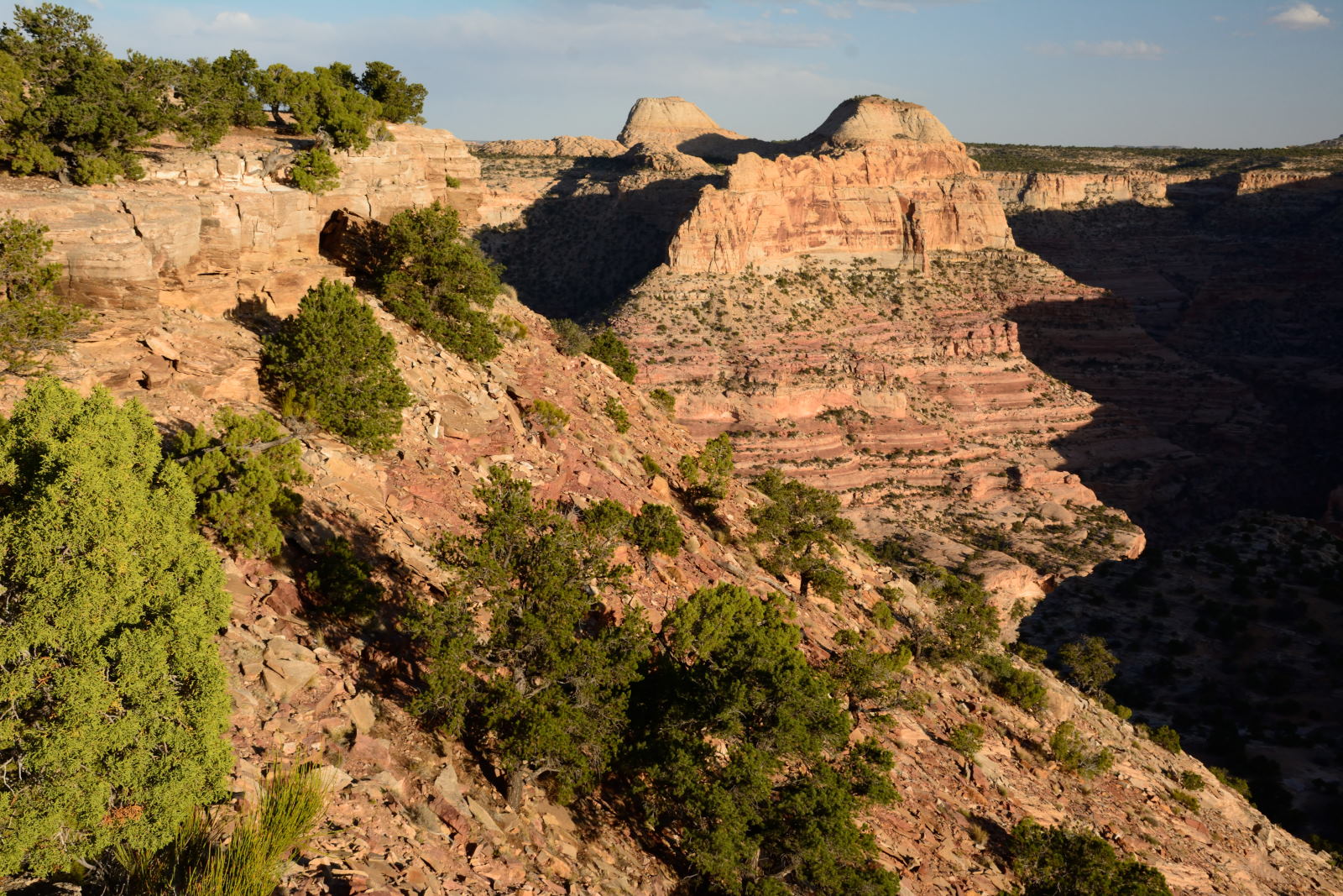
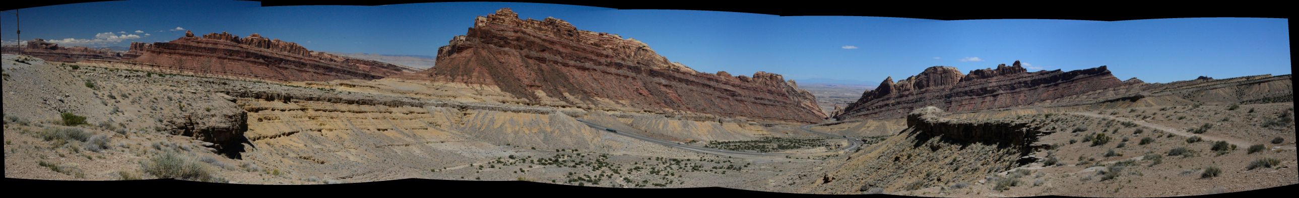
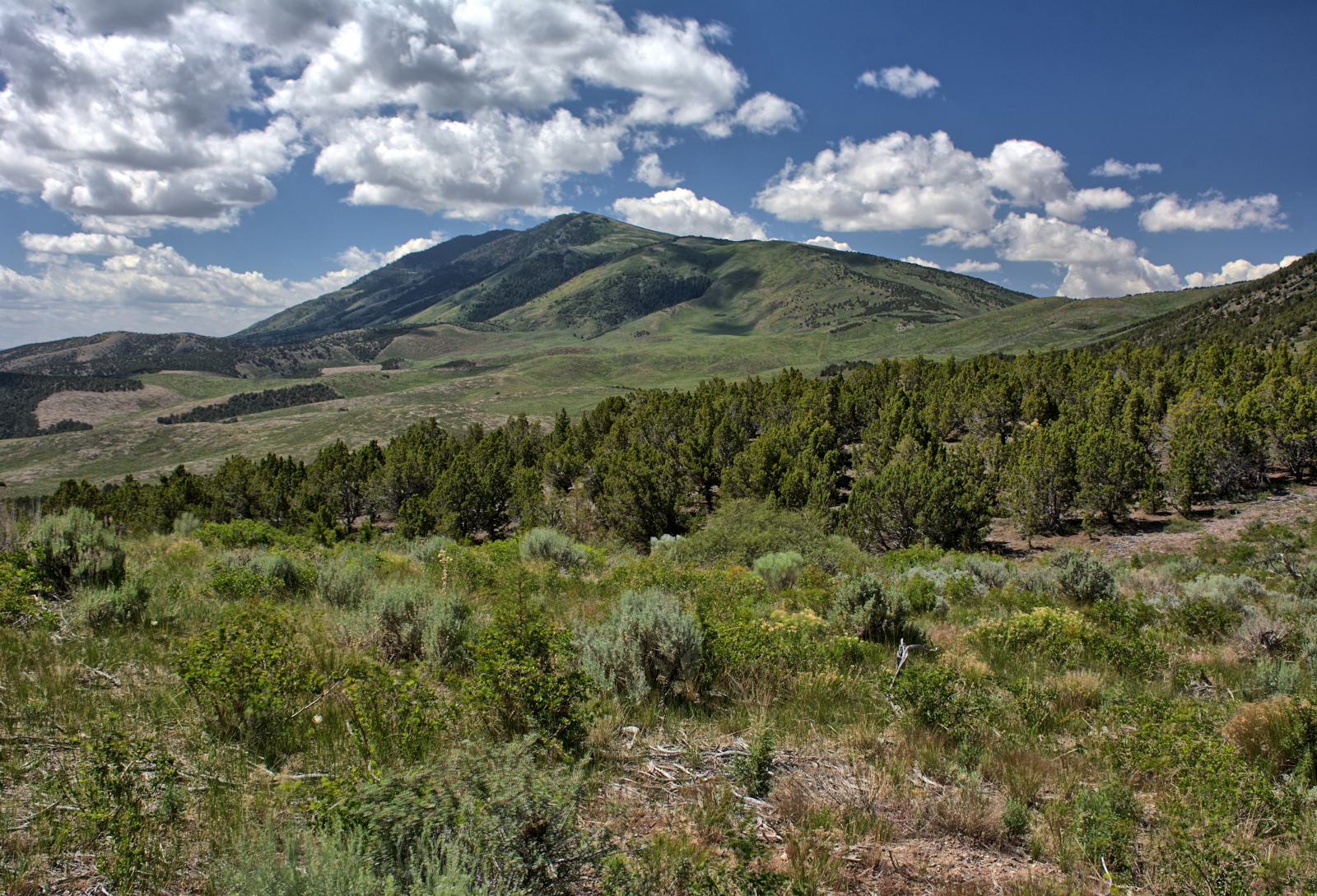
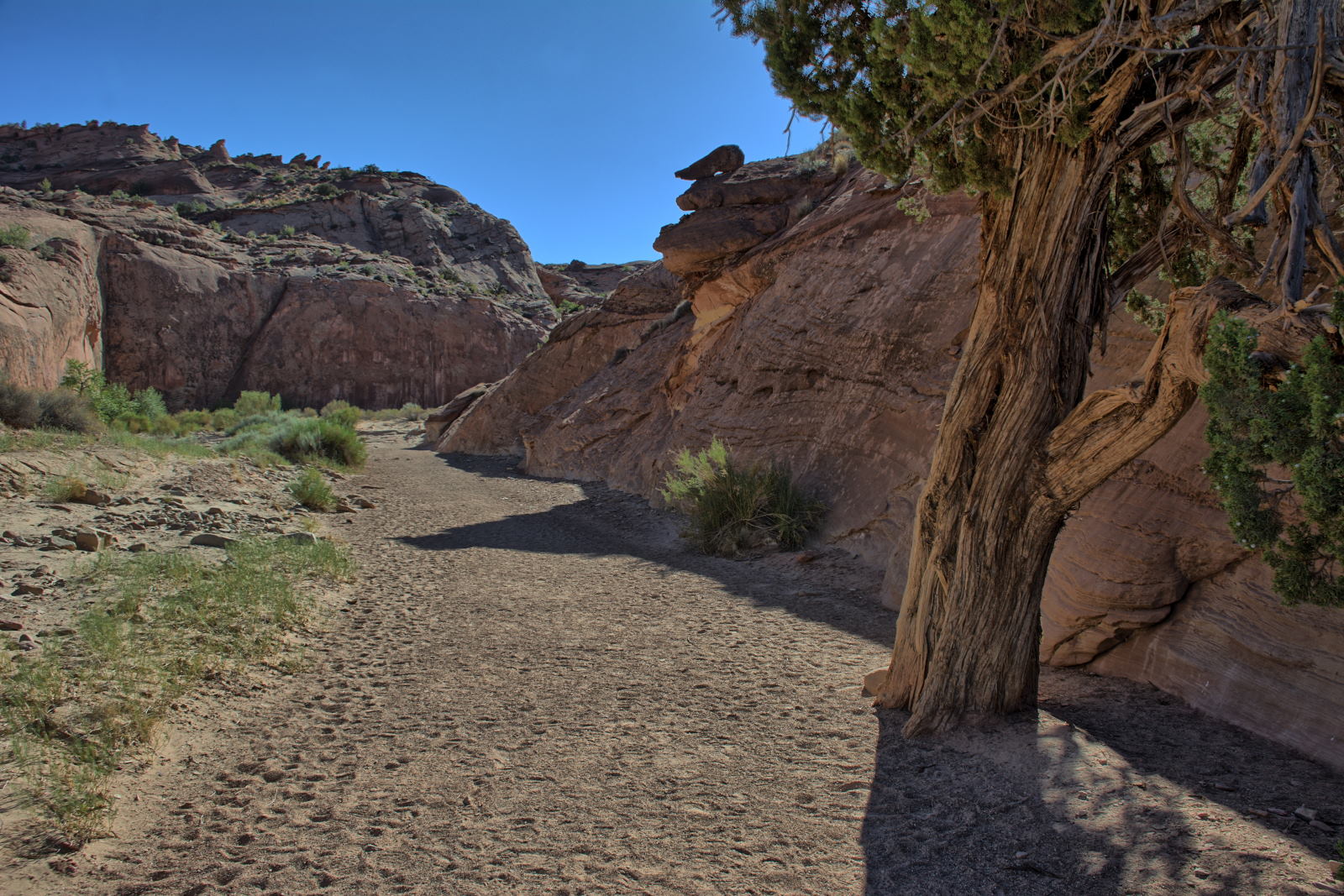
Chris then continued on for a few more days of hiking on the San Rafael Swell in
central Utah before going to Dugway for flight testing. After the first
week of flight testing, Chris flew home for a week, then returned to Utah for
ten more days of flight testing. When this flight testing was over, Chris began
the more extreme hiking he had planned. Eli was supposed to fly out and join him
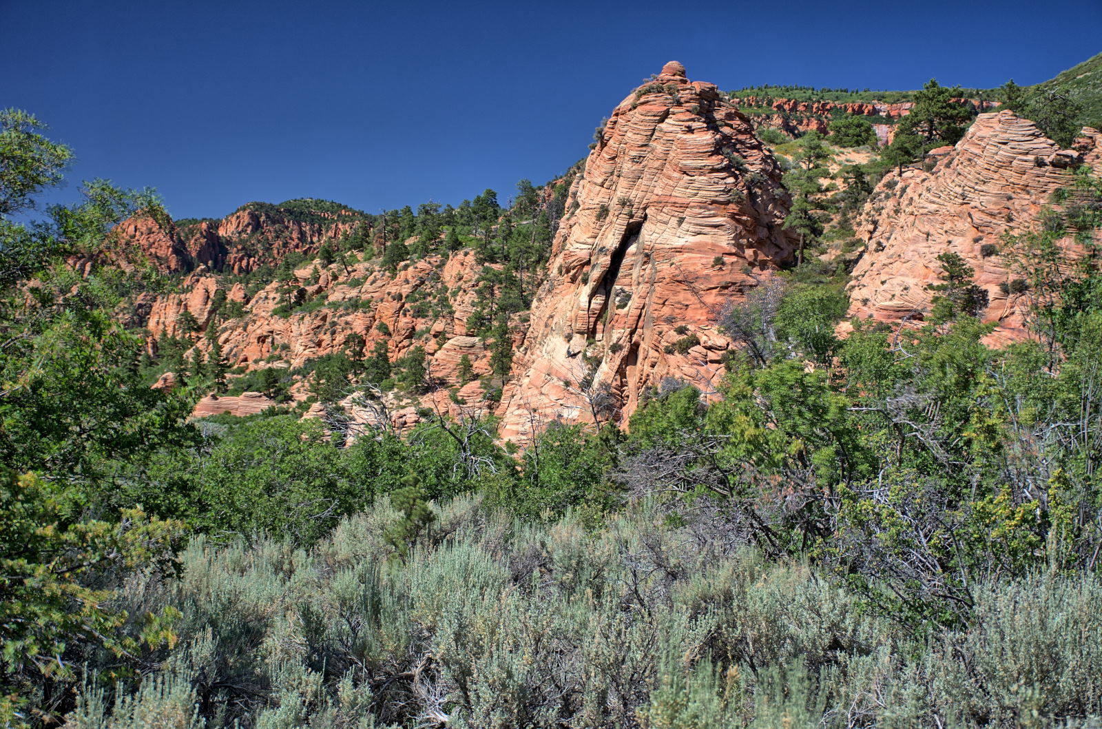
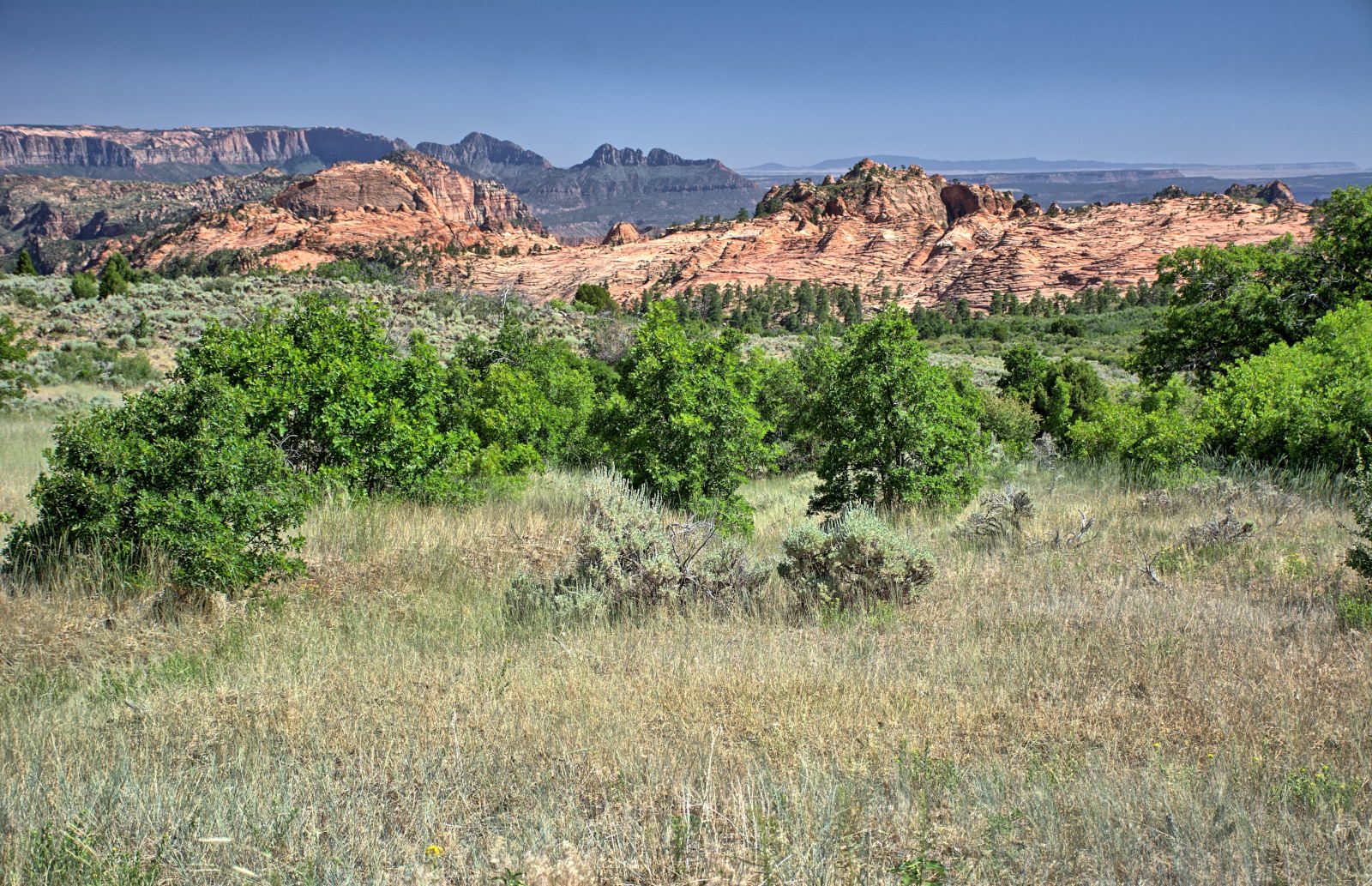
at this point, but had decided against it. Chris visited and did quite a
bit of hiking at Cedar Breaks National Monument, Kanarraville Falls, Zion
National Park, Grand
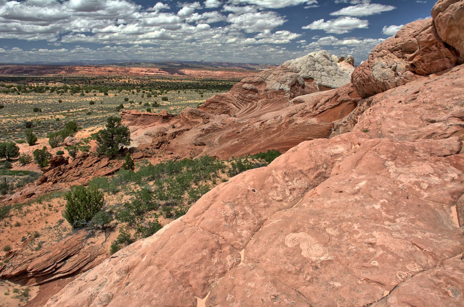
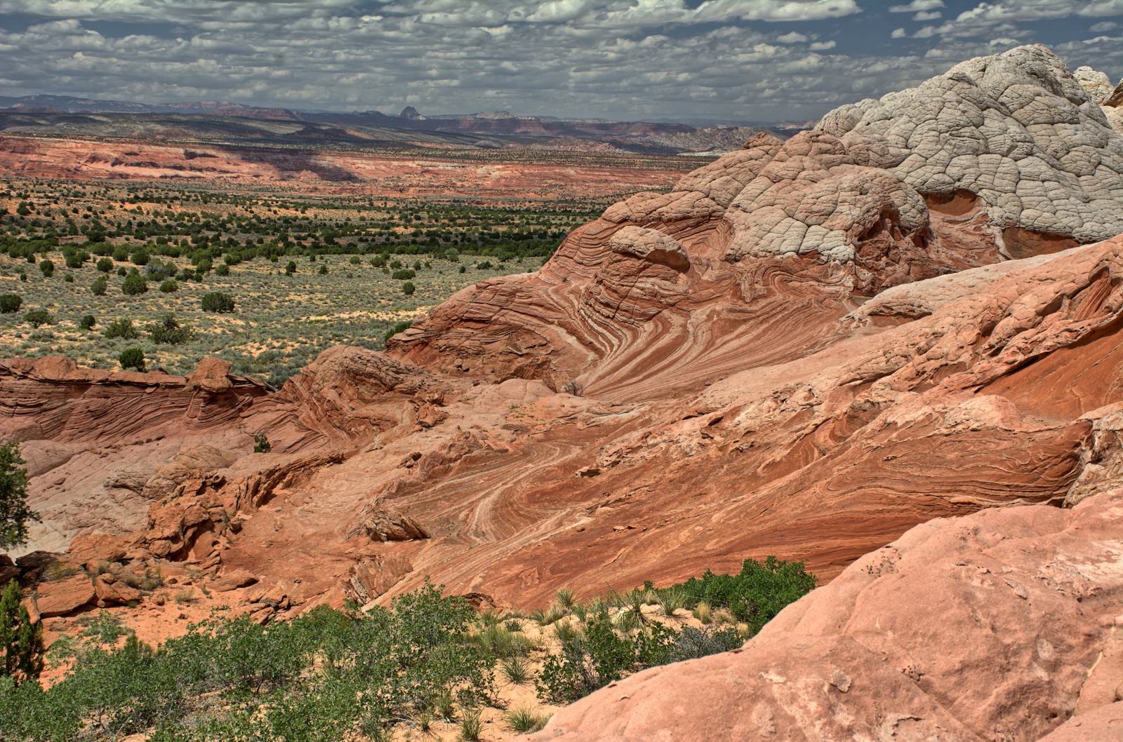
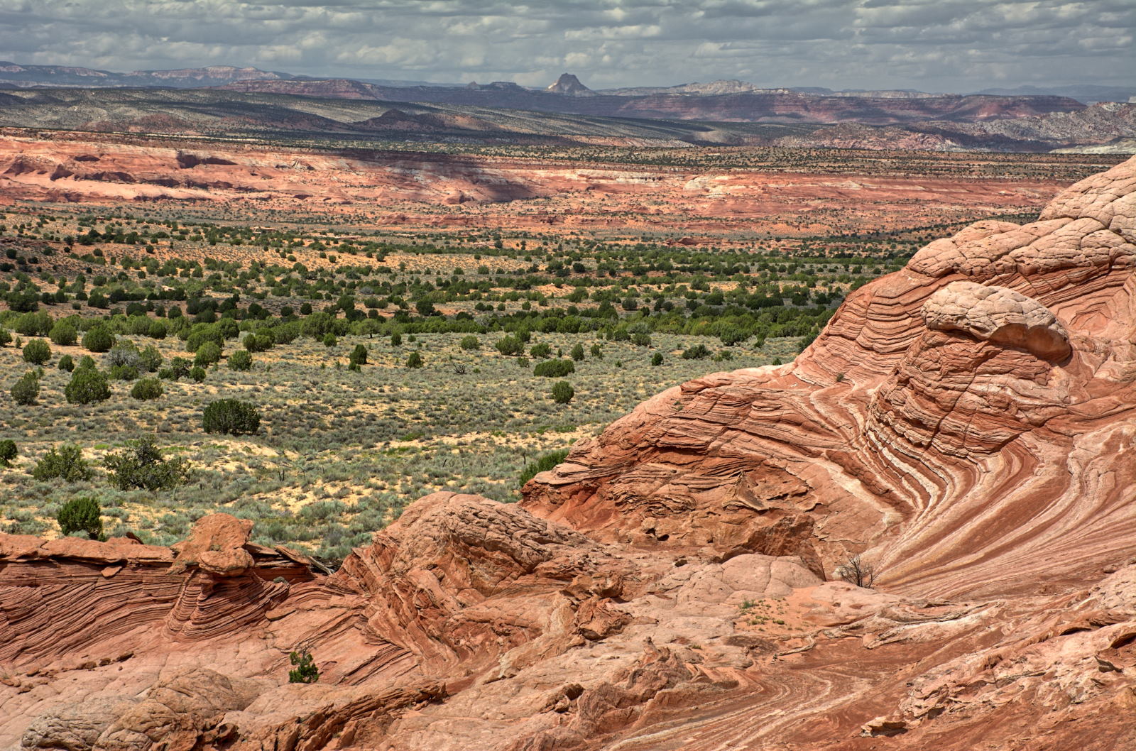
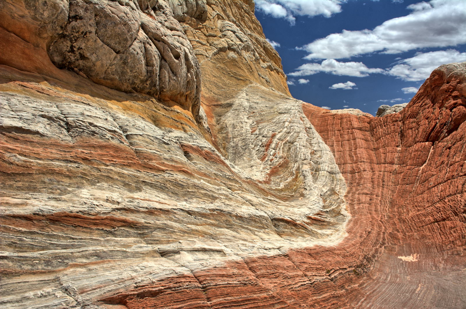
Staircase-Escalante National Monument, Vermillion Cliffs National Monument, Lake Powell - Glen Canyon National Recreation Area,
Rainbow Bridge National Monument, Bryce Canyon National Park, and Capitol Reef
National Park. Chris' BMW X5
was driven about 7800 miles on this trip.
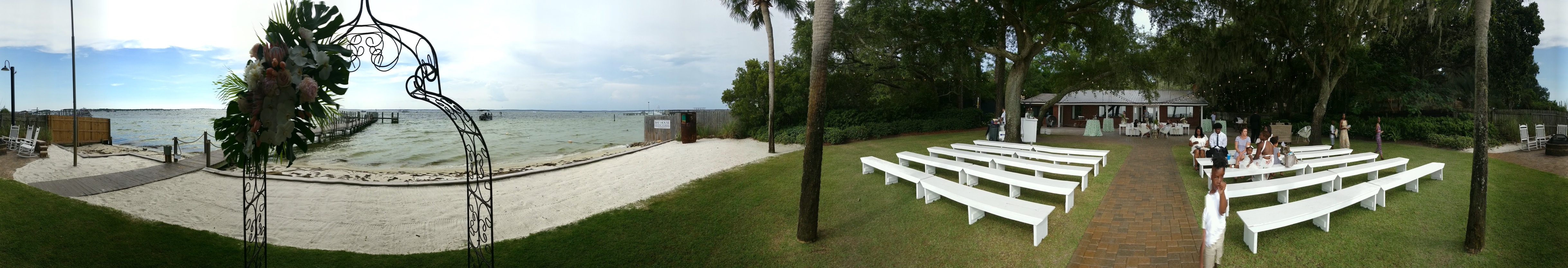
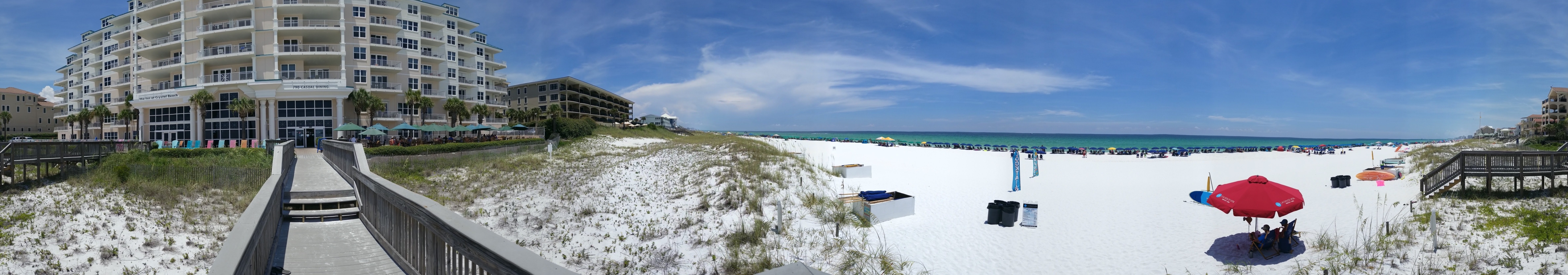
A week after Chris got back home from his trip out west, we all drove to
Destin, Florida for Tami's sister's wedding. The X5 was driven another
2300 miles on this trip, for slightly over 10000 miles in two months.
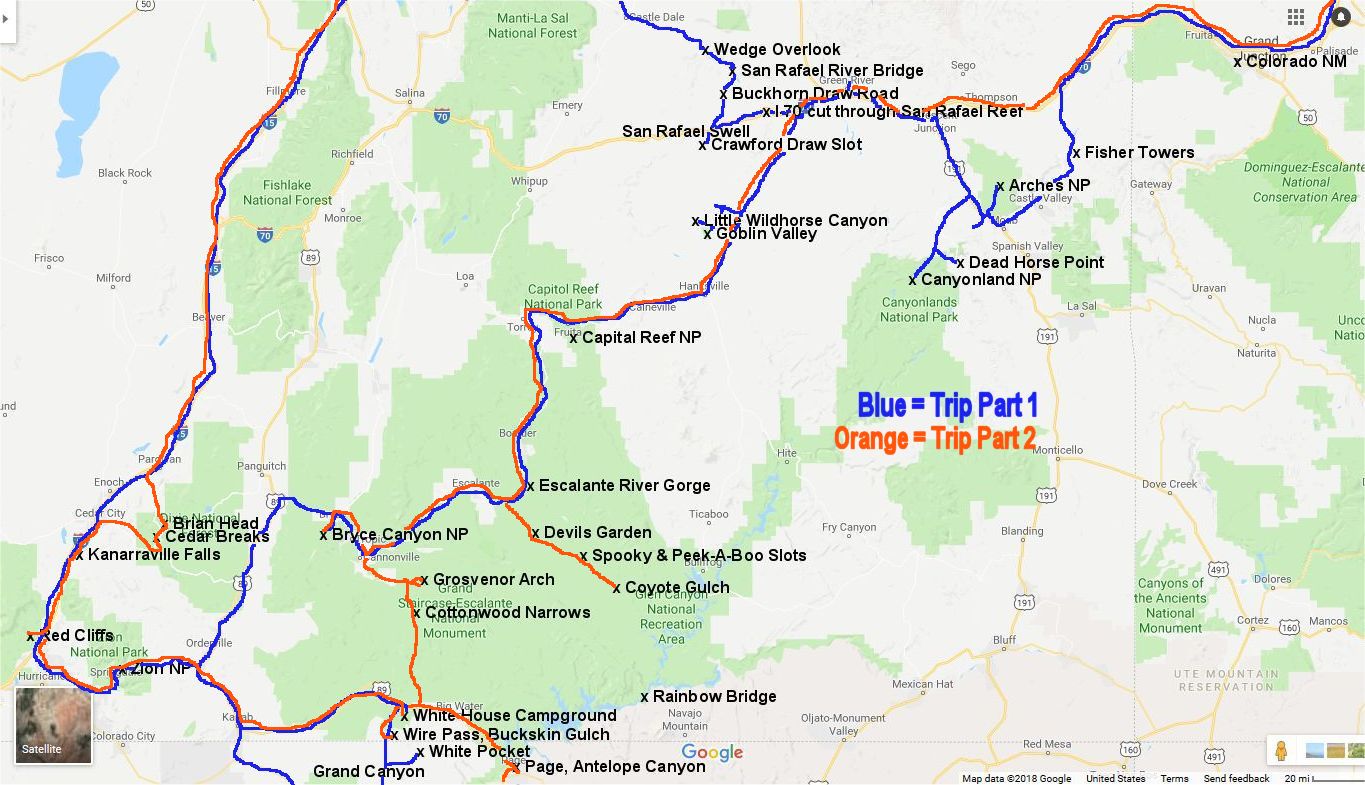
Click on the map above to expand it and see the
places we visited in Utah.
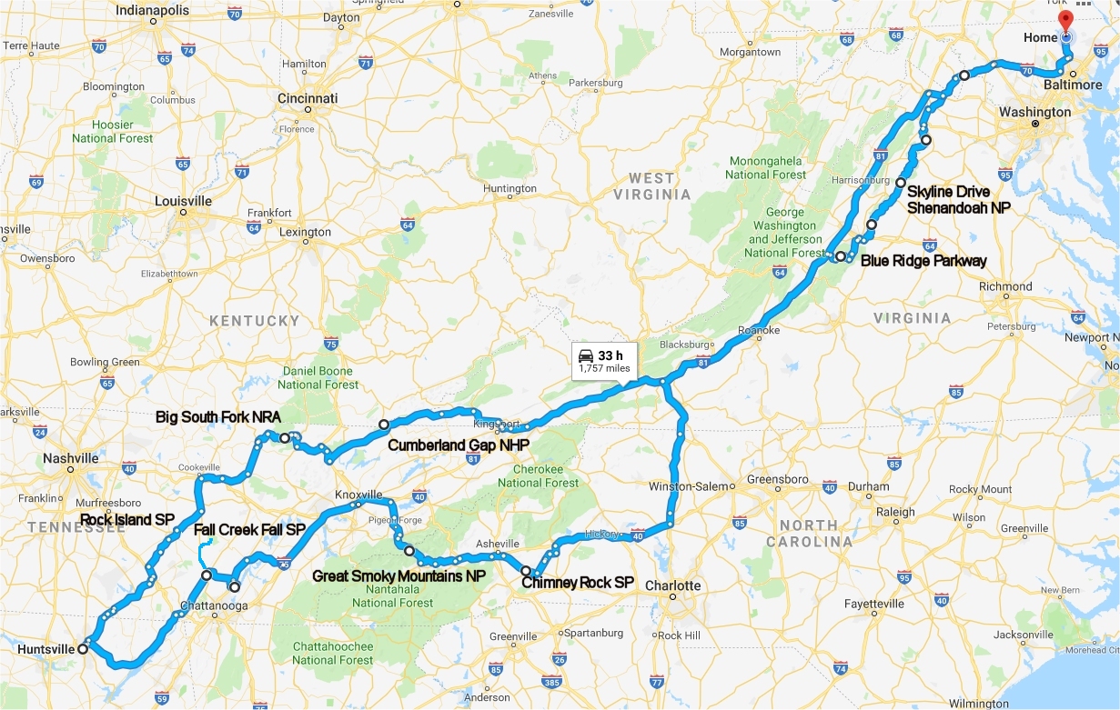
Virginia, Kentucky, Tennessee, Alabama, North
Carolina, November 2018
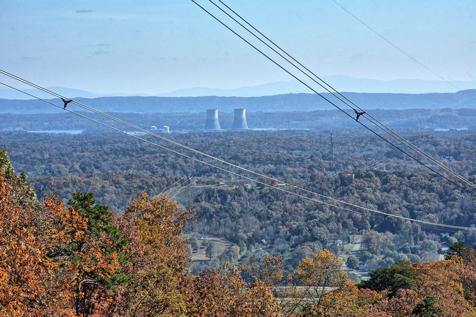
Chris has flight testing at Redstone Arsenal in Huntsville, Alabama
for a week in November 2018. He decided to make a two week trip out of
this, with a few days before and after flight testing to visit his sister and
several national and state parks.
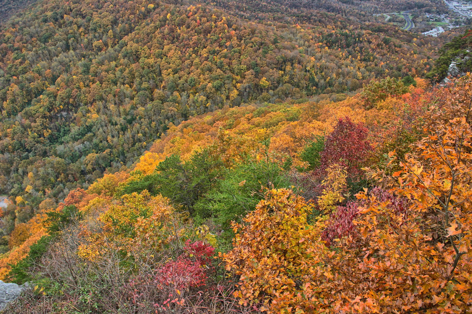
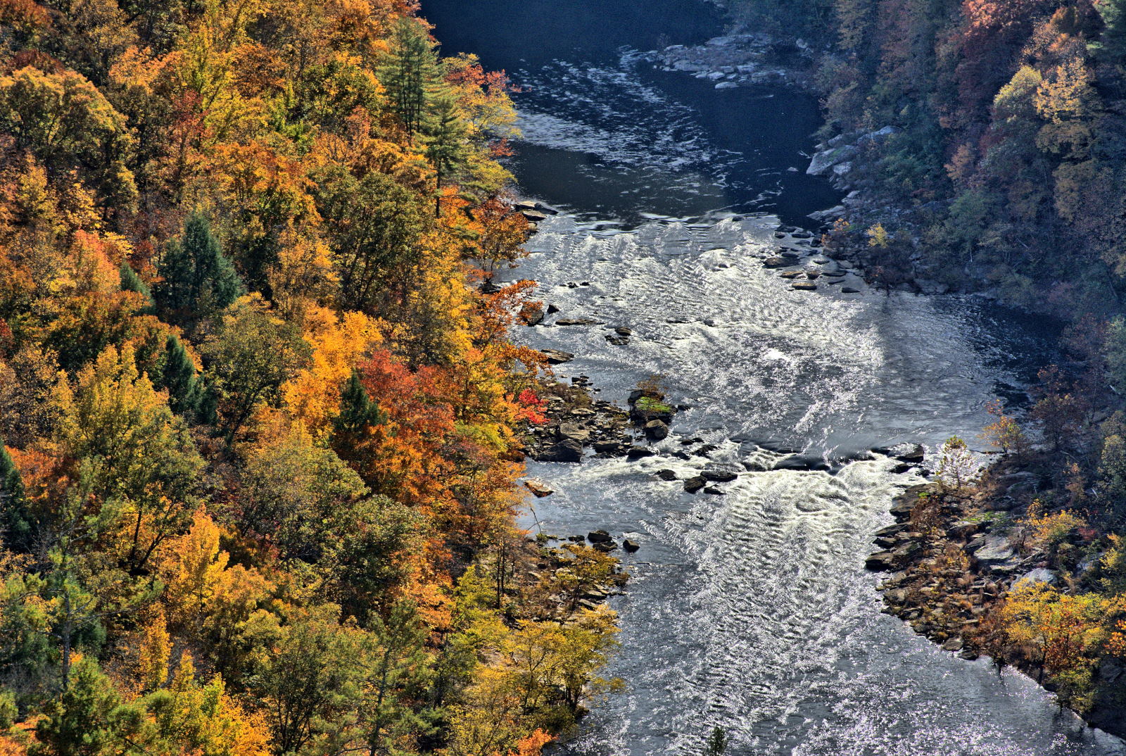
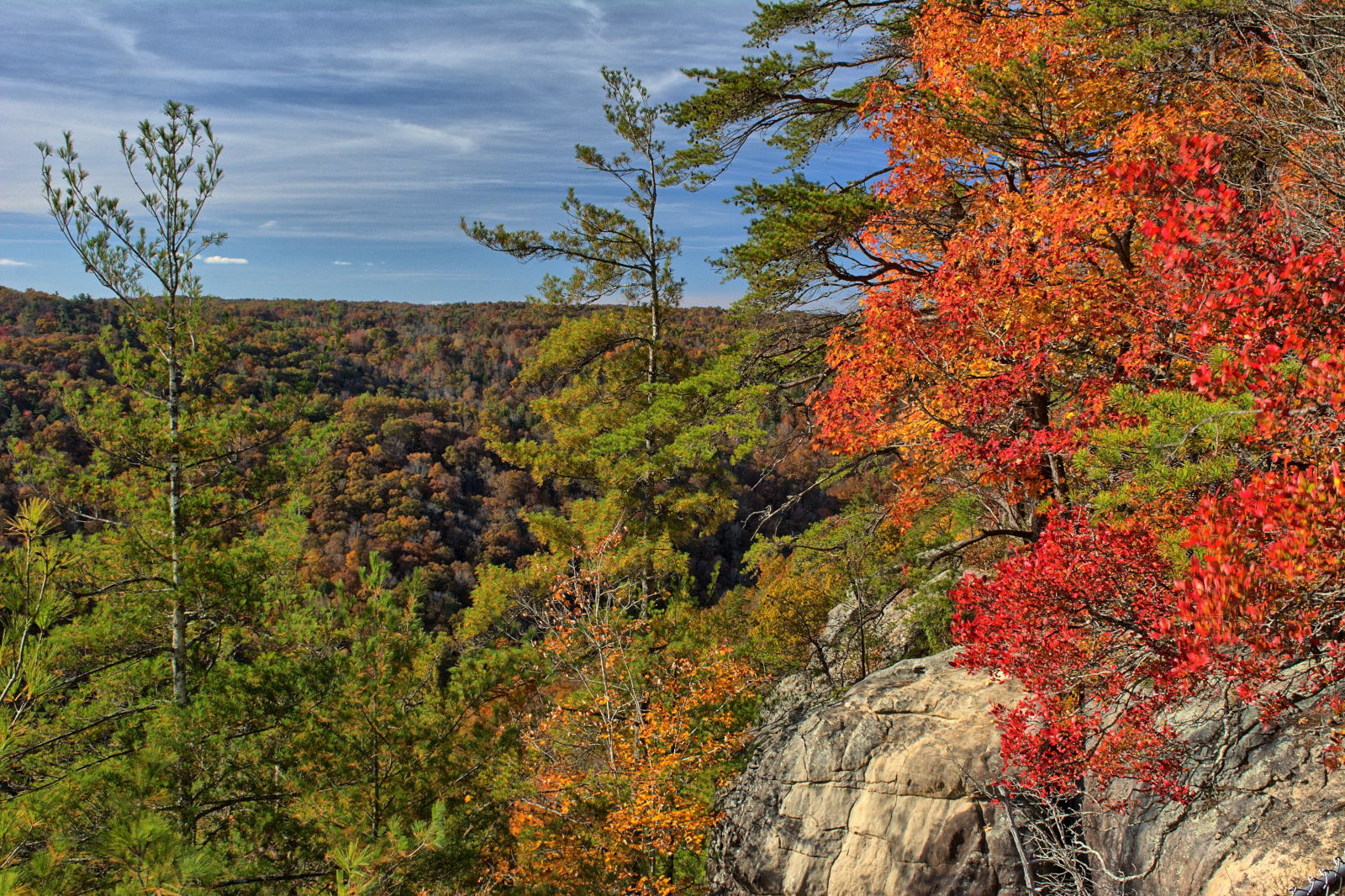
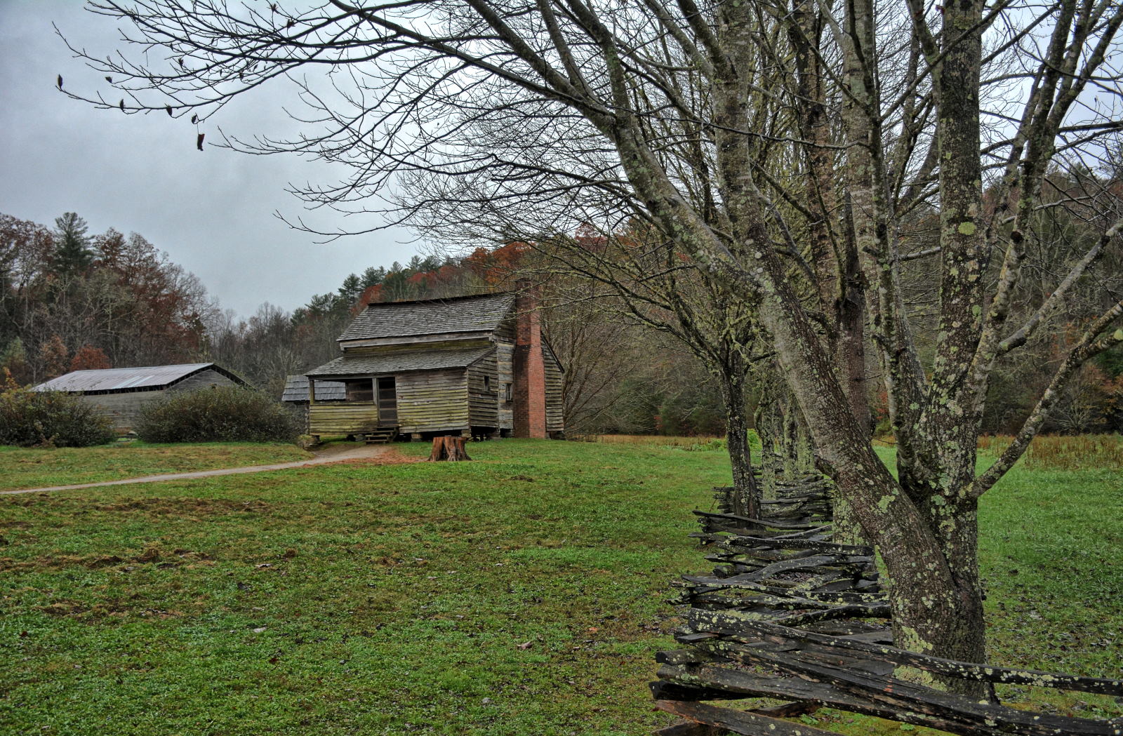
Chris visited Shenandoah National Park, the Blue Ridge Parkway, Cumberland
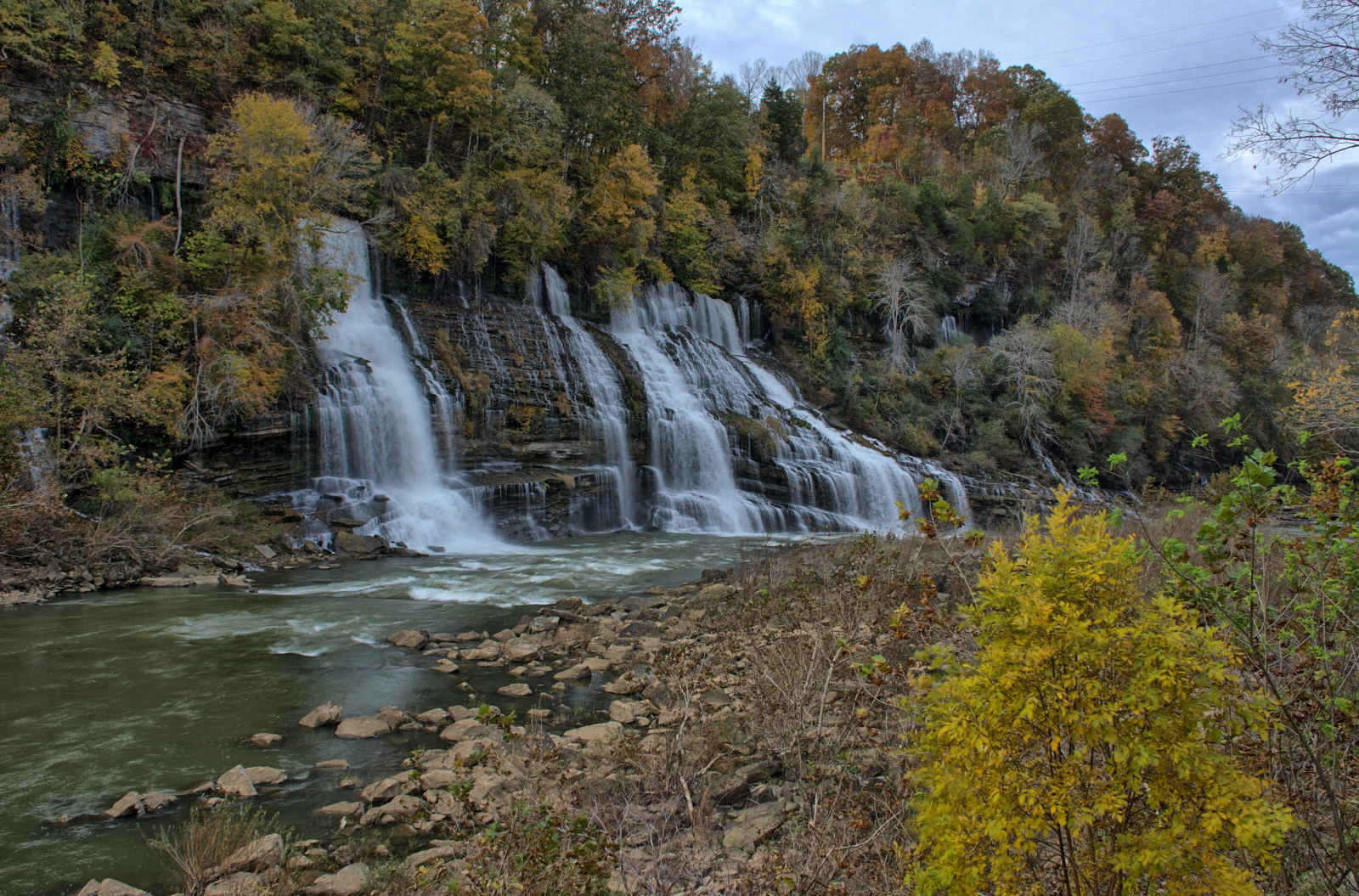
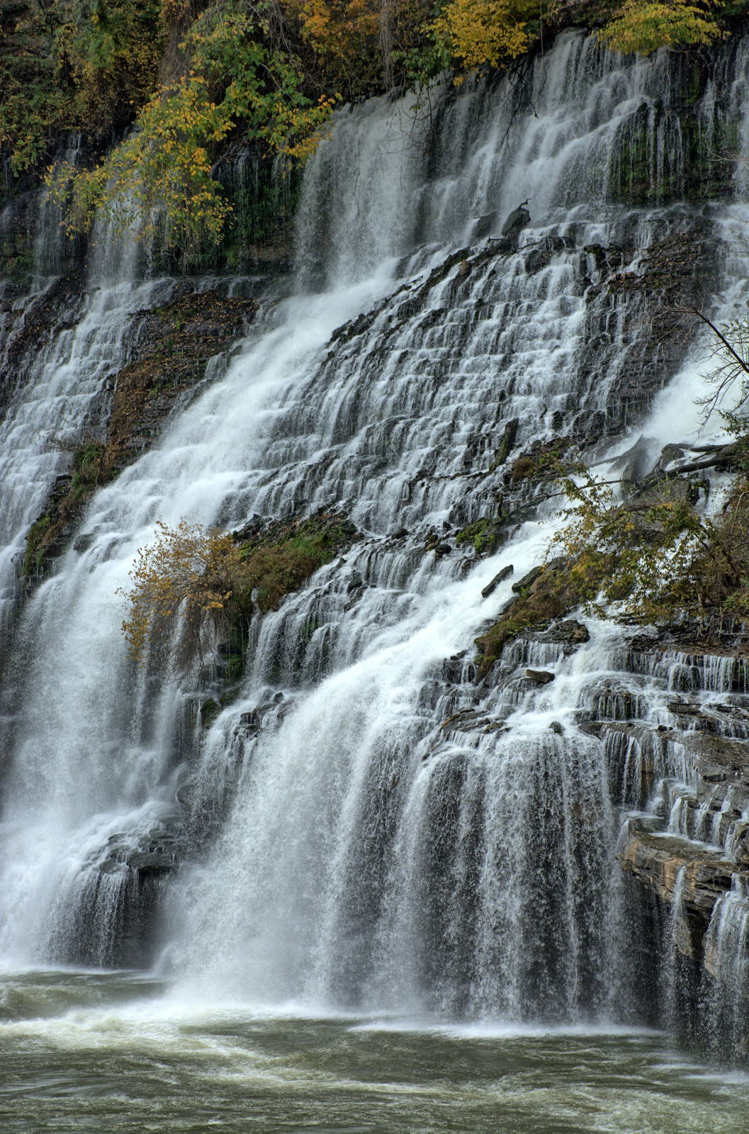
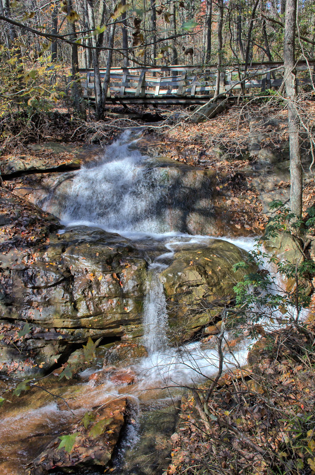
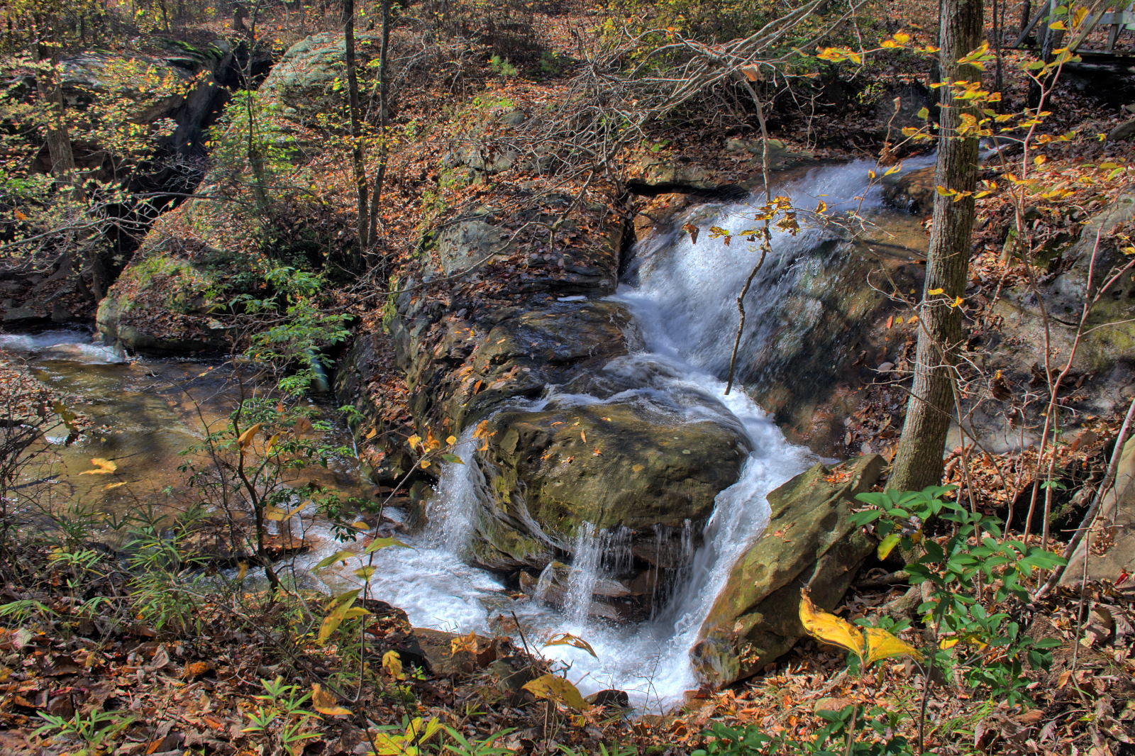
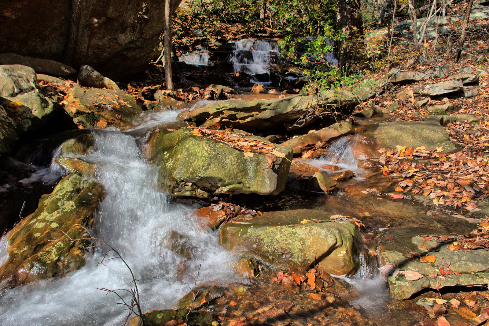
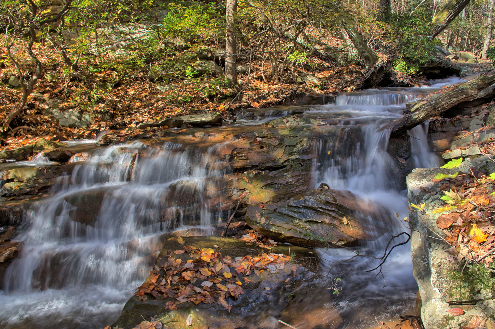
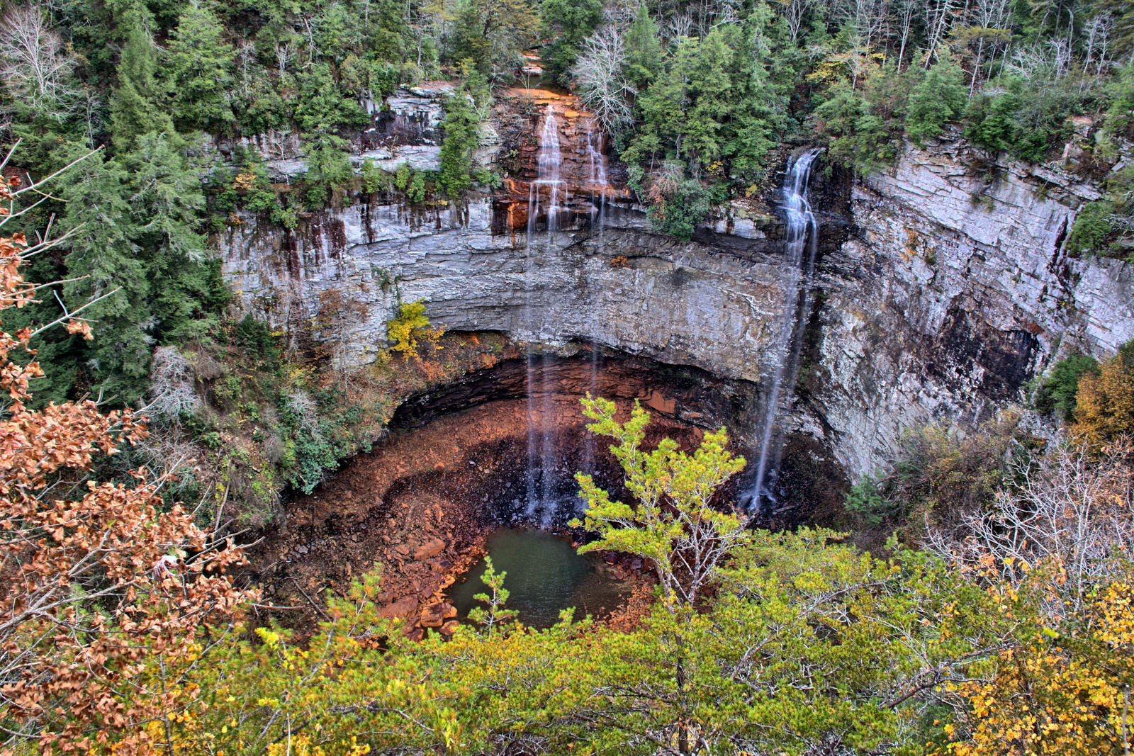
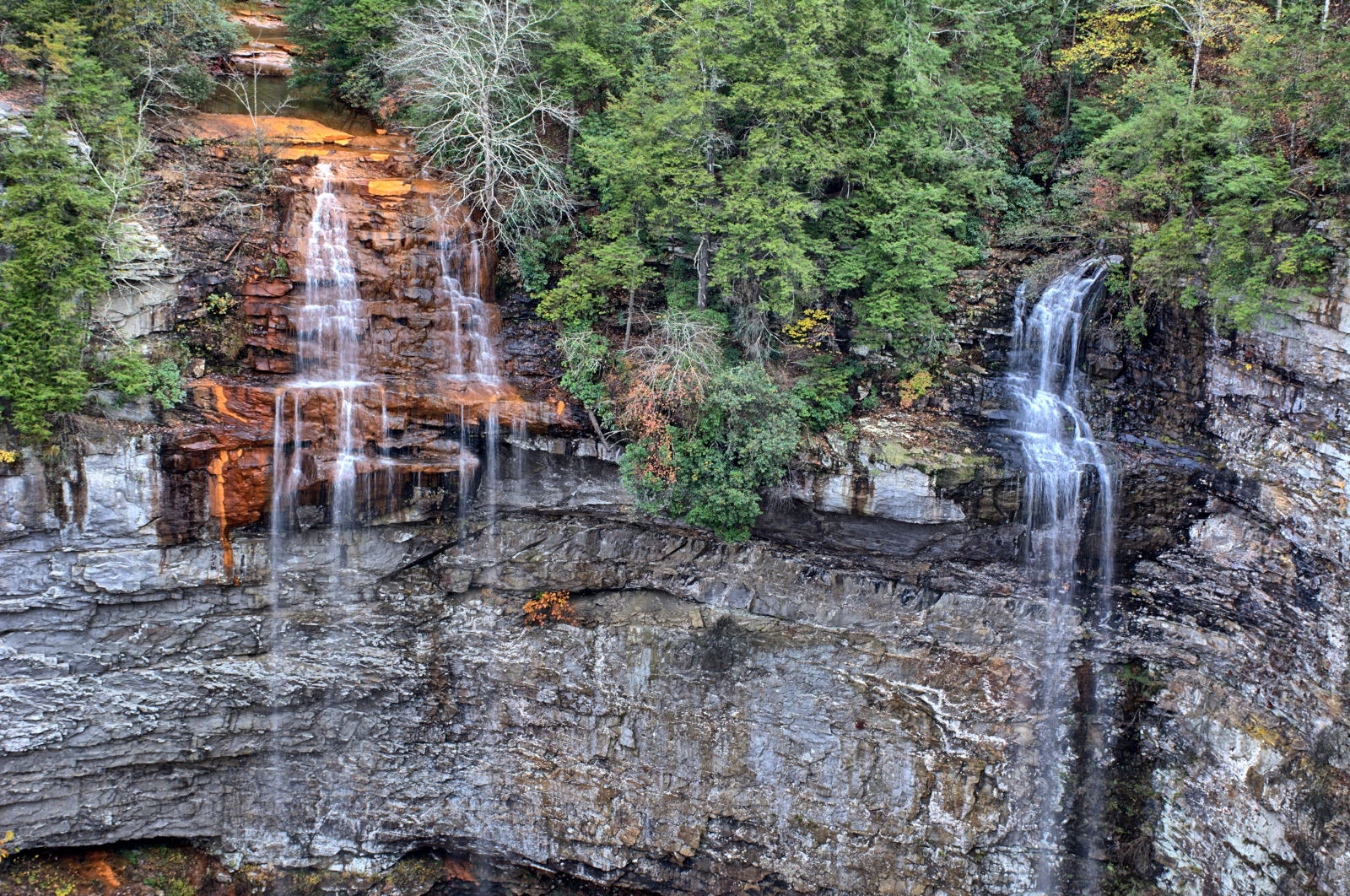
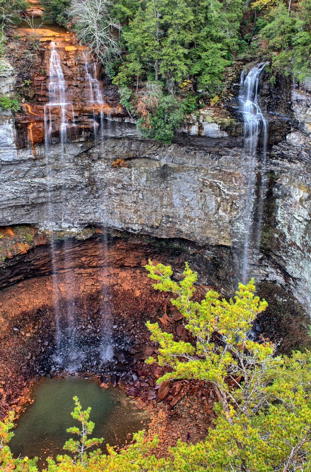
Gap National Historic Park, Big South Fork National Recreation Area, Rock Island State Park, Fall Creek Falls State Park,
Great Smoky Mountains National Park, and Chimney Rock State Park on this trip.
It was raining for almost the entire two weeks, including during flight test, so
he did not camp and hike nearly as much as he had hoped. There were only
four days over two weeks when it did not rain, so he went home early. It
began snowing a few hours after he arrived home.
Sunday
Monday
Tuesday
Wednesday
Thursday
Friday
Saturday
13 May
14 May
15 May
16 May
17 May
18 May
19 May
Home
Home
Home
Home
--> Charleston, WV
--> St Louis, MO Gateway Arch NP
--> Kansas City, KS
--> Grand Junction, CO
20 May
21 May
22 May
23 May
24 May
25 May
26 May
Colorado NM
--> Moab, UT Arches NP
Dead Horse Point SP Canyonlands NP
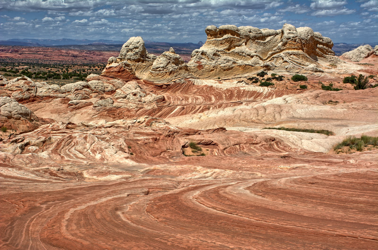
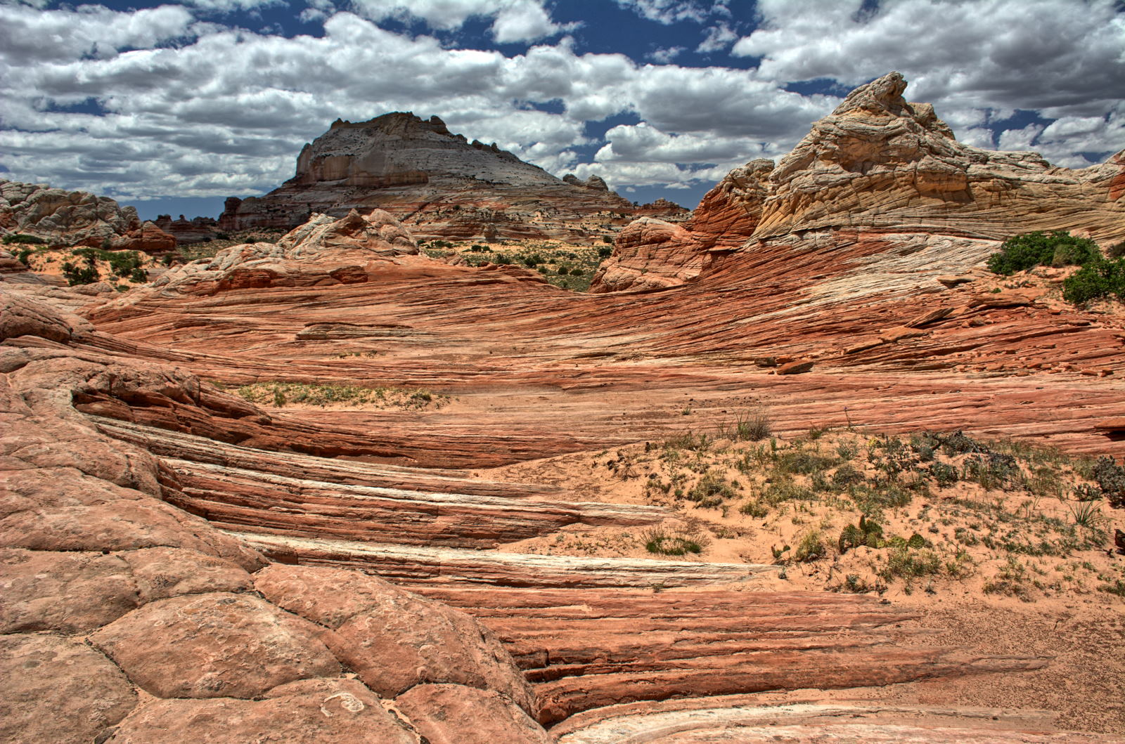
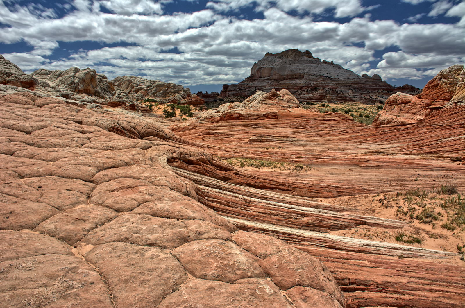
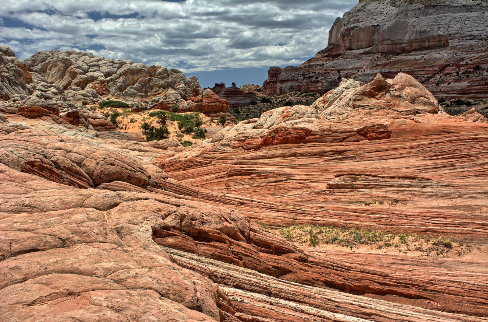
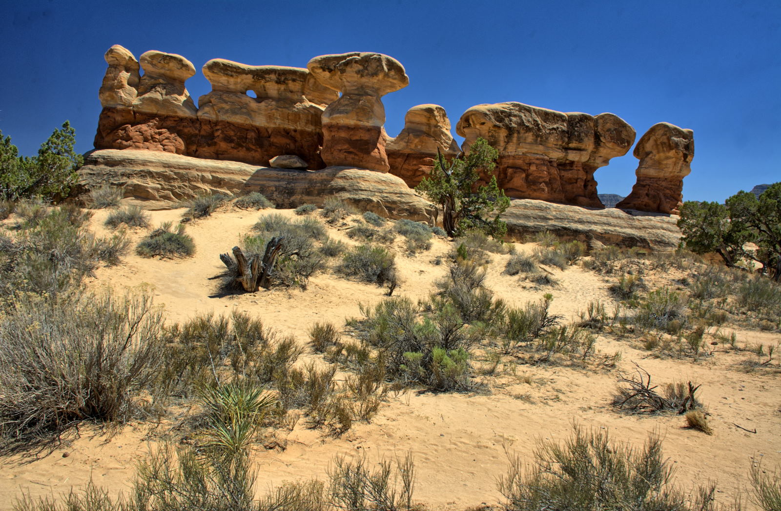
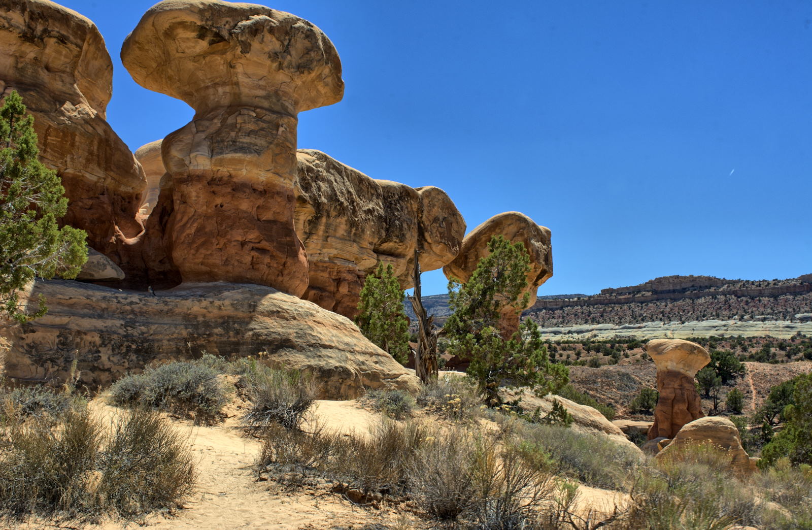
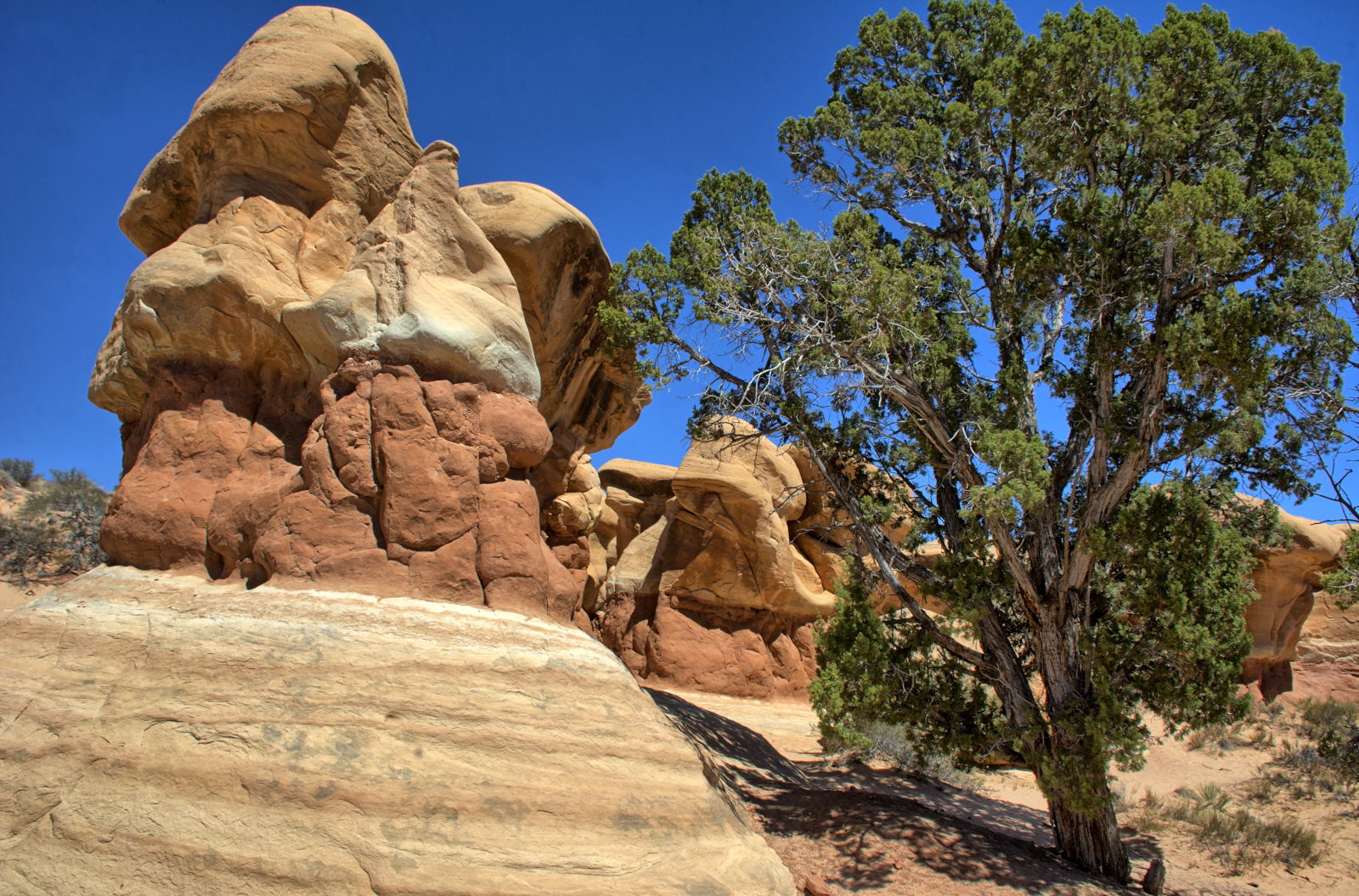
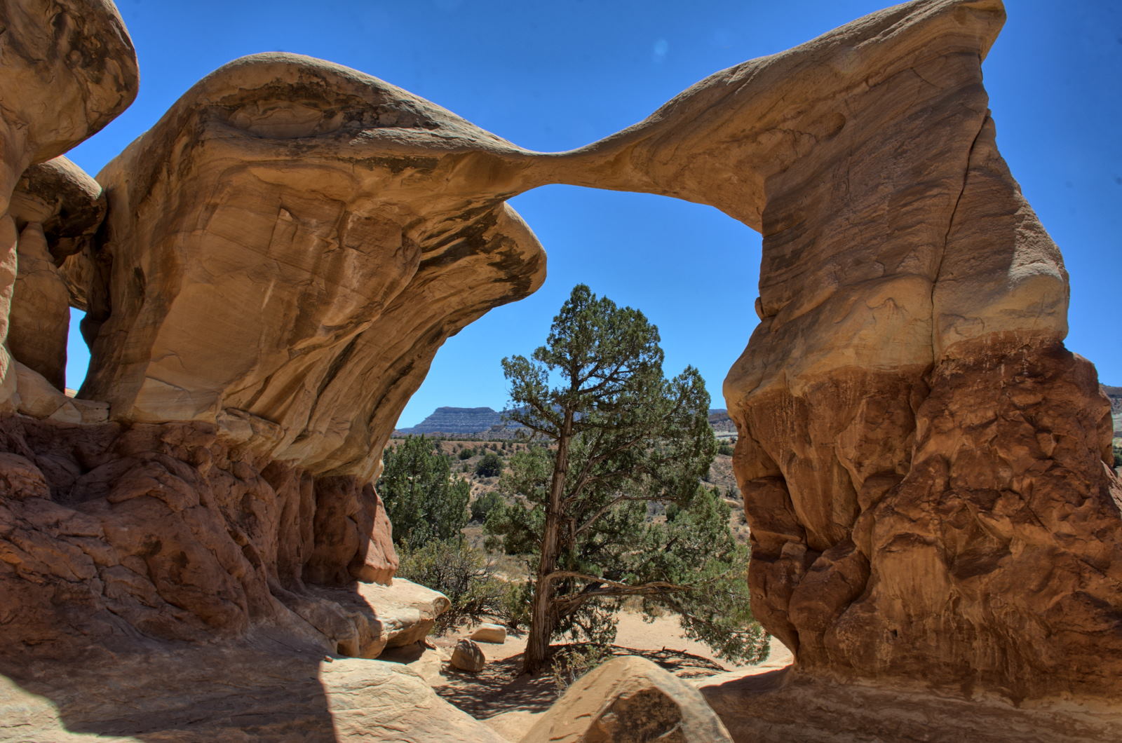
Goblin Valley SP
Grand Staircase-Escalante NM
Capitol Reef NP
Bryce Canyon NP
--> Kanab, UT
White Pocket, Vermillion
Cliffs NM
Grand Canyon NP
Zion NP
--> Salt Lake City
Nathan flies home
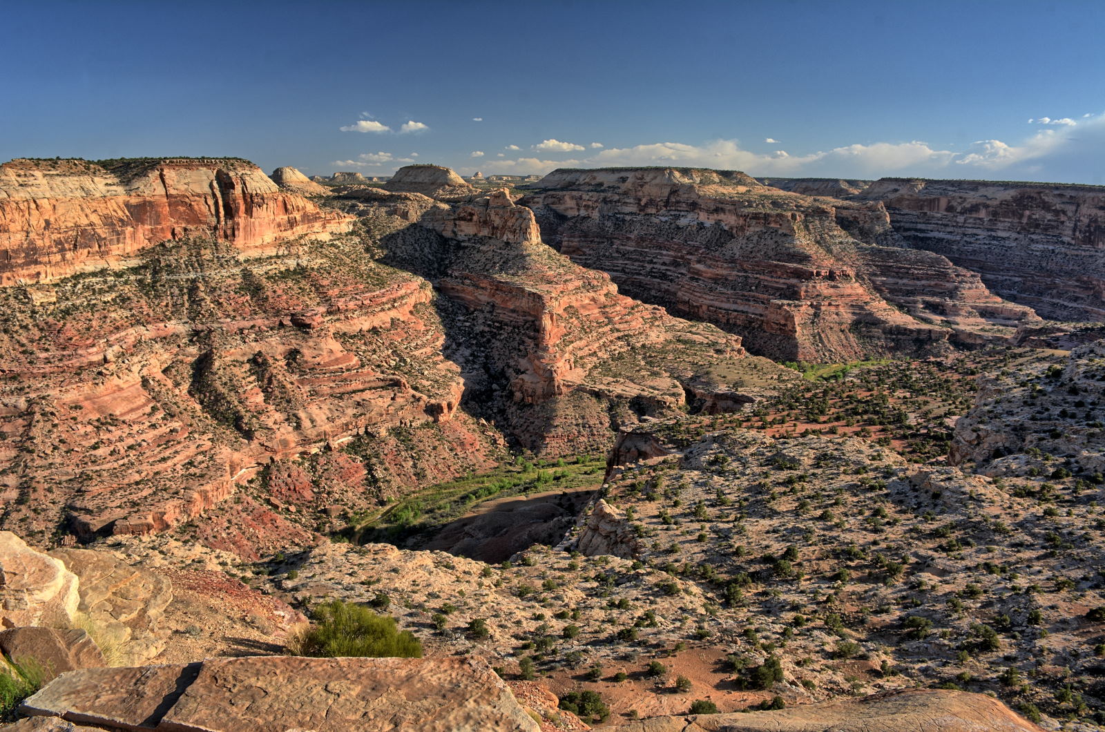
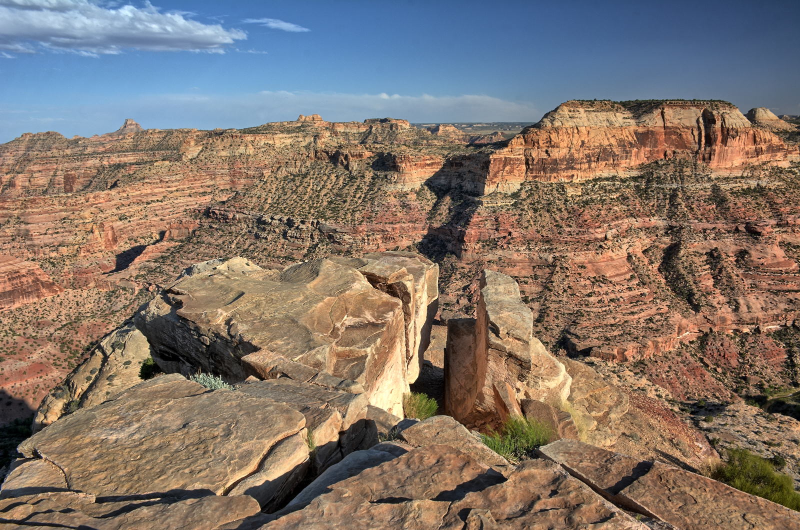
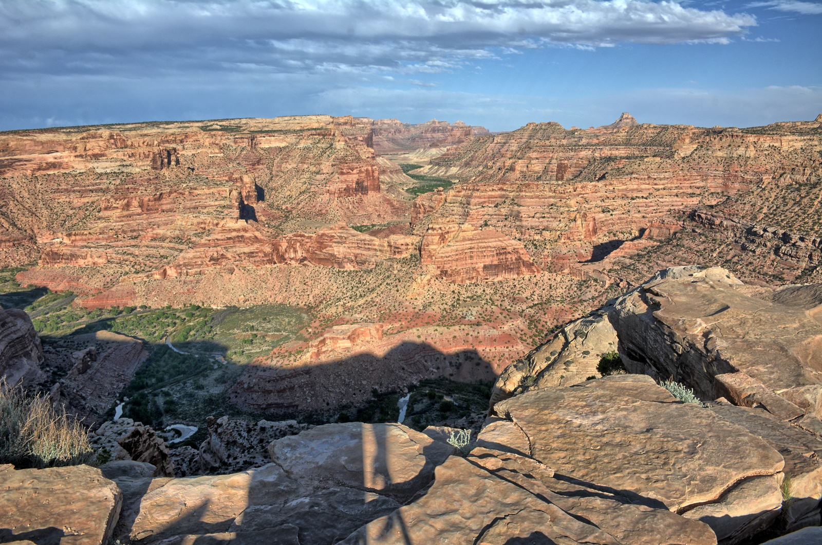
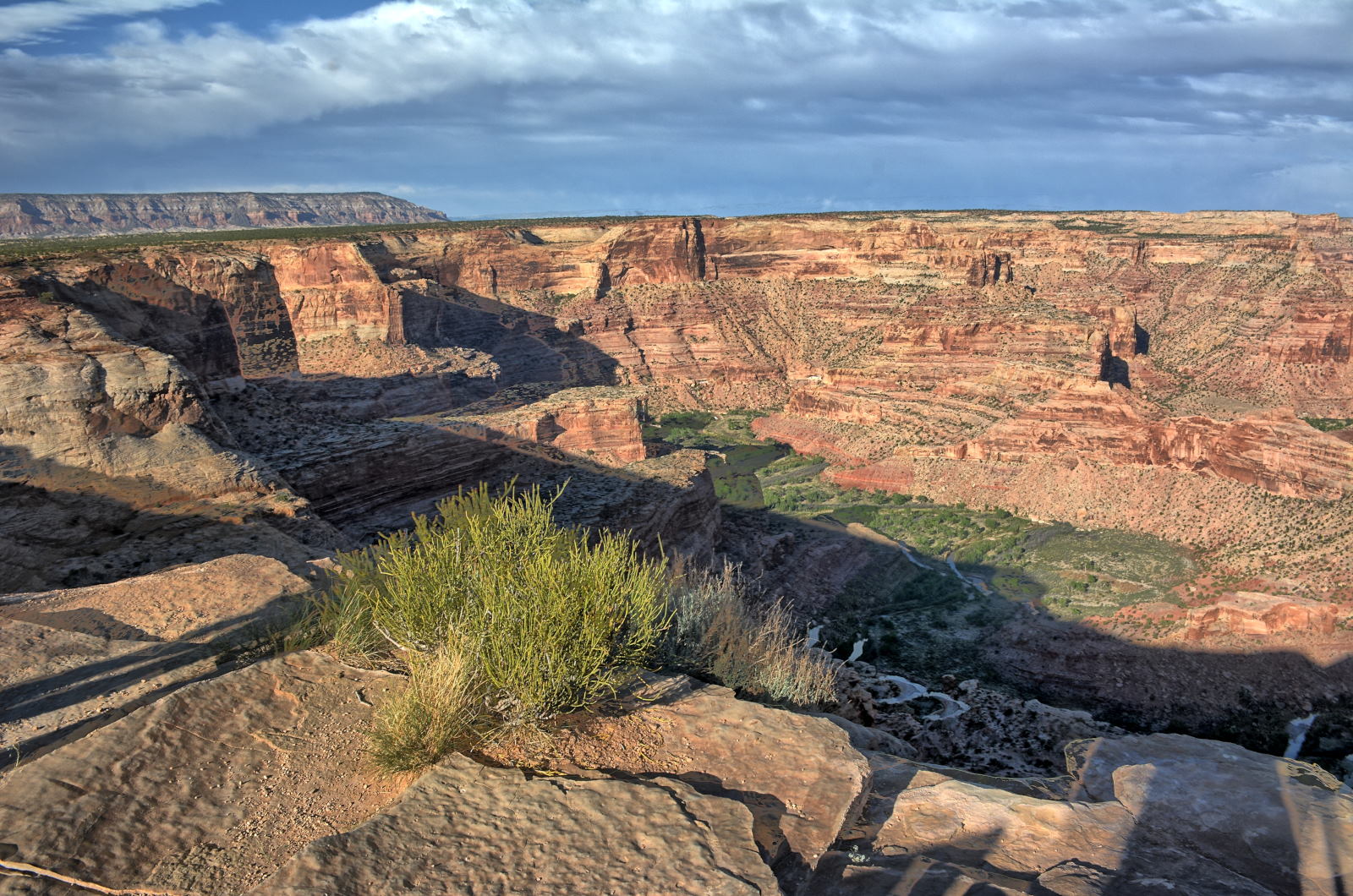
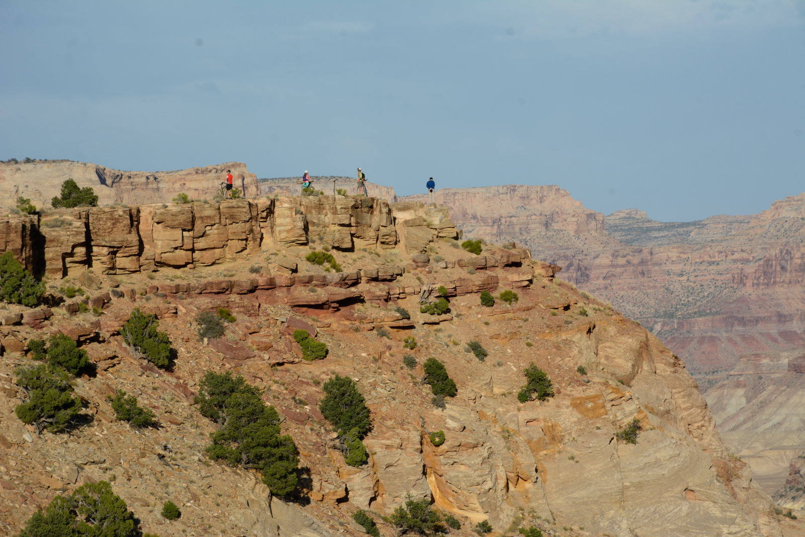
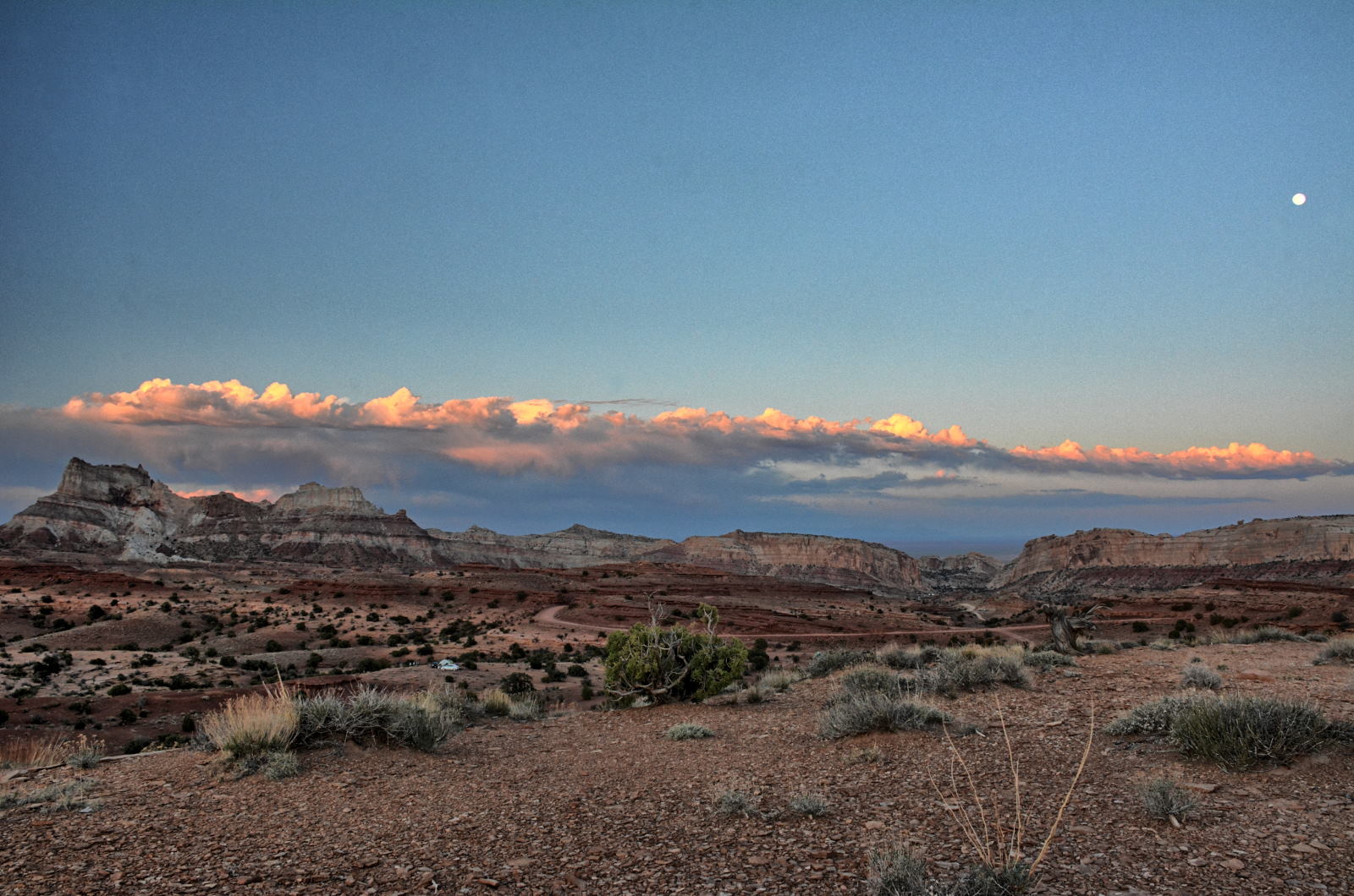
Chris --> Wedge Overlook
27 May
28 May
29 May
30 May
31 May
01 June
02 June
Crawford Draw
Green River, UT
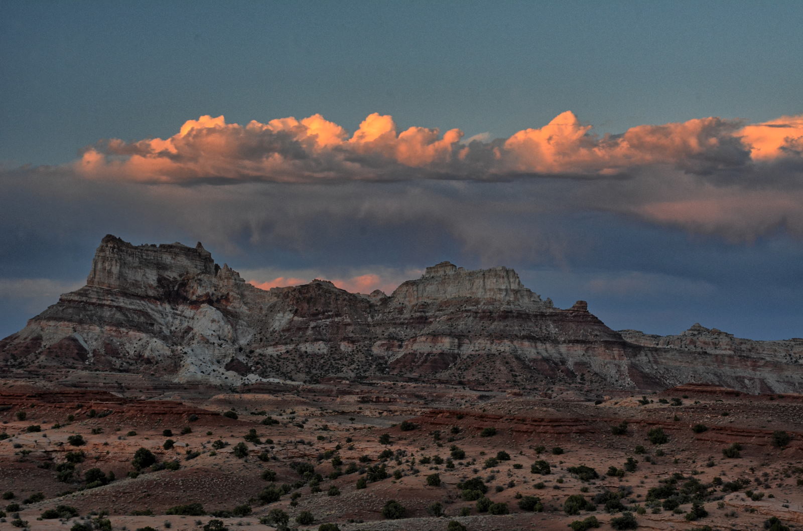
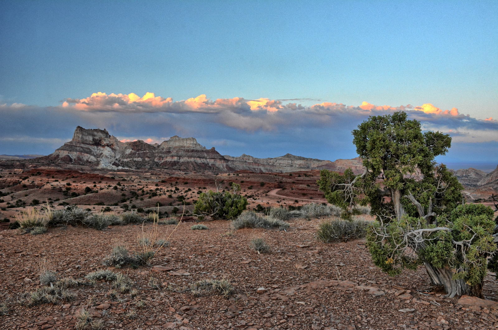
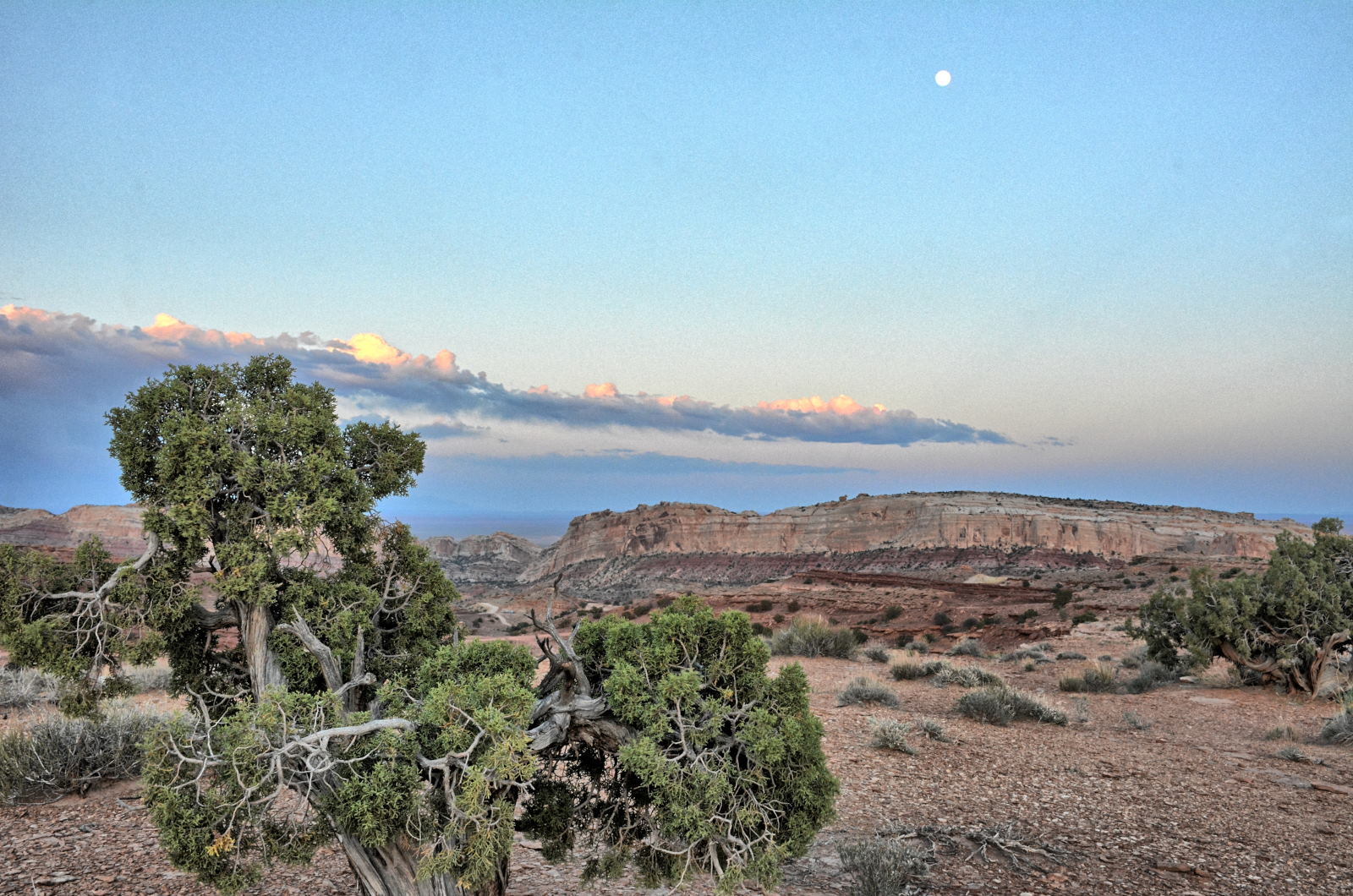
San Rafael Swell
Little Wildhorse & Bell Canyons
Diamond Fork
Hot Springs
--> SLC
Big Cottonwood Canyon
--> Dugway
Dugway Flight Test
Dugway Flight Test
Dugway Flight Test
Dugway --> SLC
Fly SLC --> Washington
Dinner & Hotel
03 June
04 June
05 June
06 June
07 June
08 June
09 June
-->
Home
Home
Home
Home
Home
Home
Home
10 June
11 June
12 June
13 June
14 June
15 June
16 June
--> DC
Fly DC --> SLC
--> Dugway
Dugway Flight Test
Dugway Flight Test
Dugway Flight Test
Dugway Flight Test
Dugway Flight Test
Dugway Flight Test
17 June
18 June
19 June
20 June
21 June
22 June
23 June
SLC, Red Iguana 2
Dugway Flight Test
Dugway Flight Test
Brian Head
Cedar Breaks NM
Cedar Breaks NM Kanarraville Falls
Red Cliffs
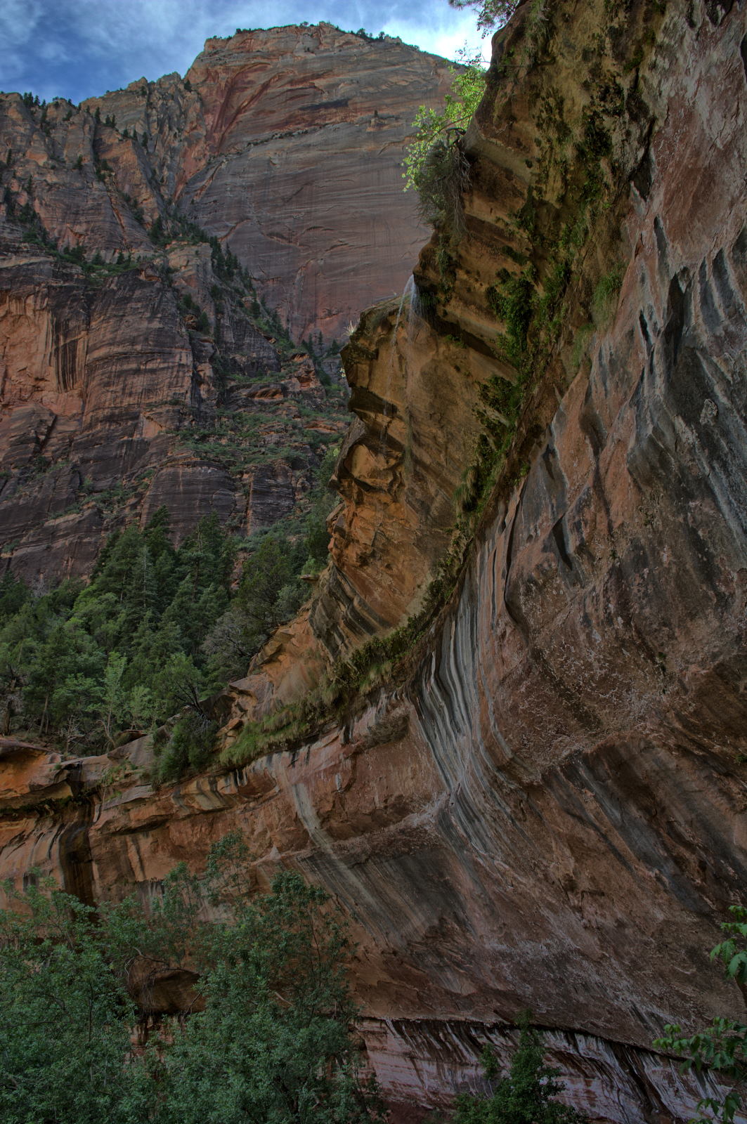
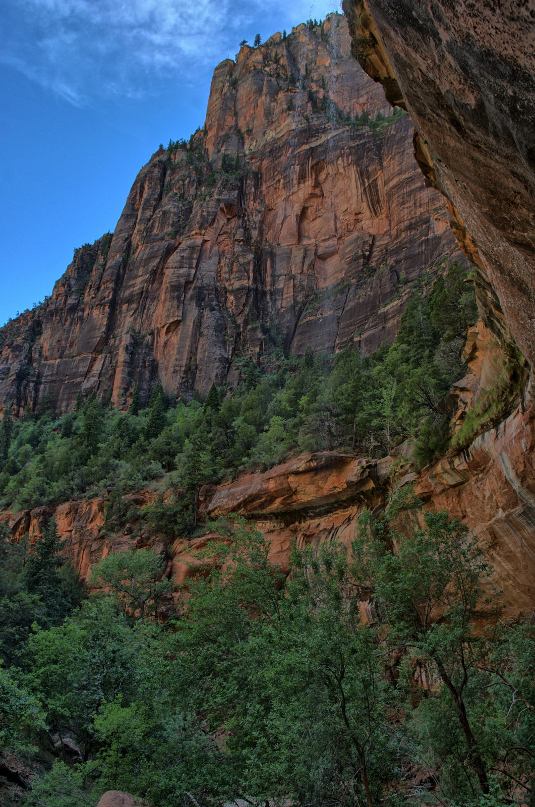
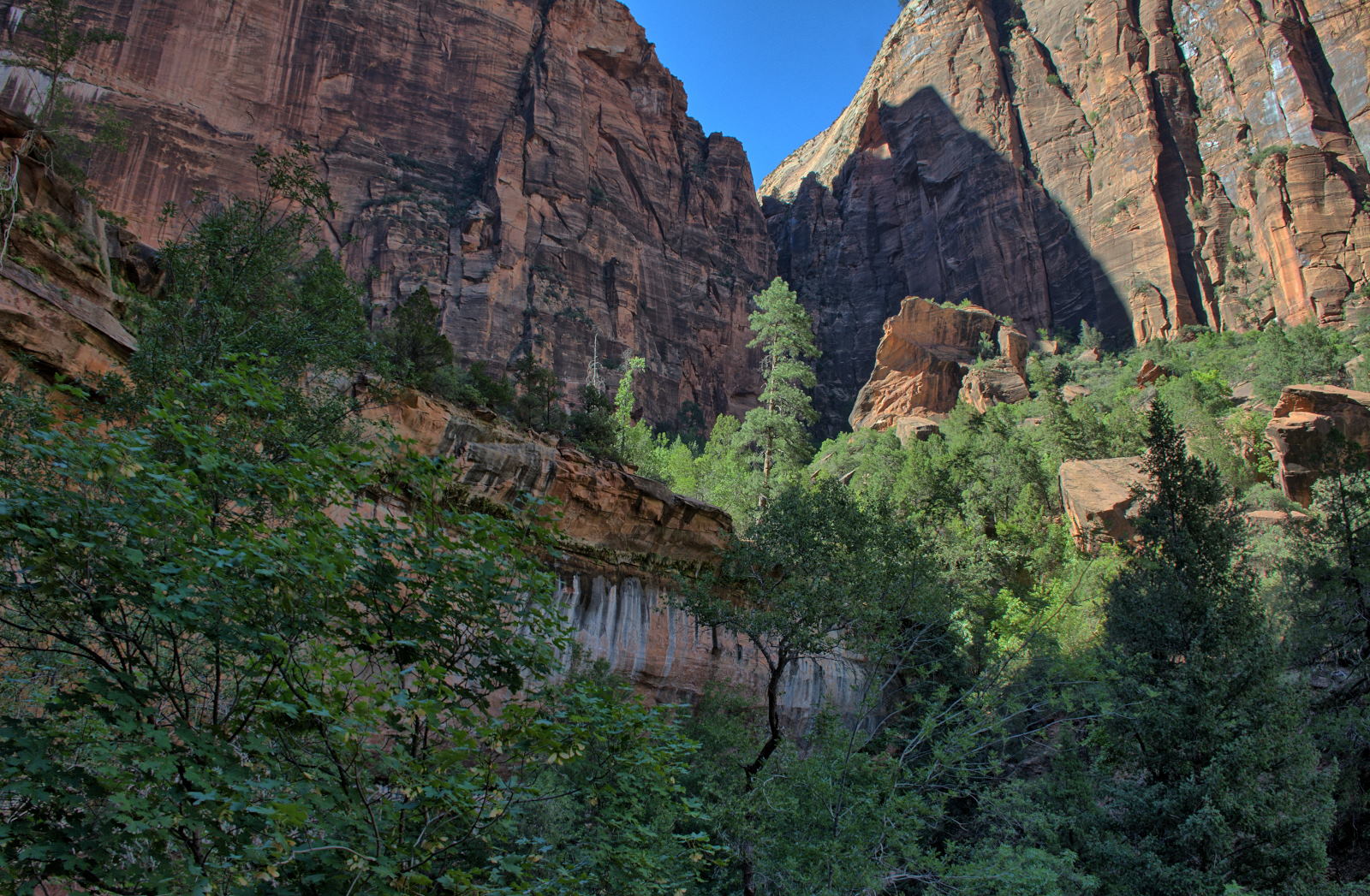
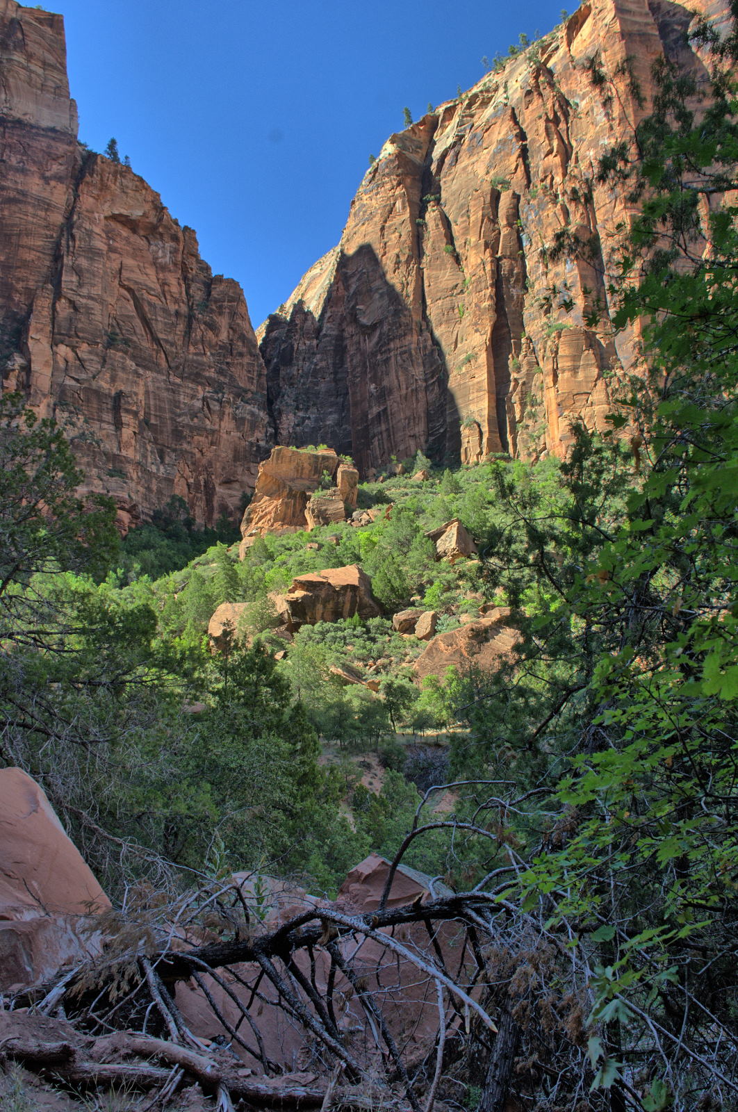
Zion NP Kolob Terrace
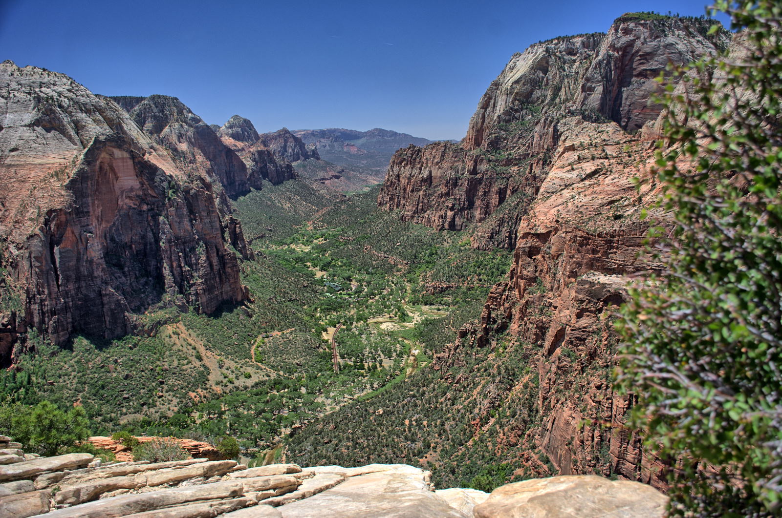
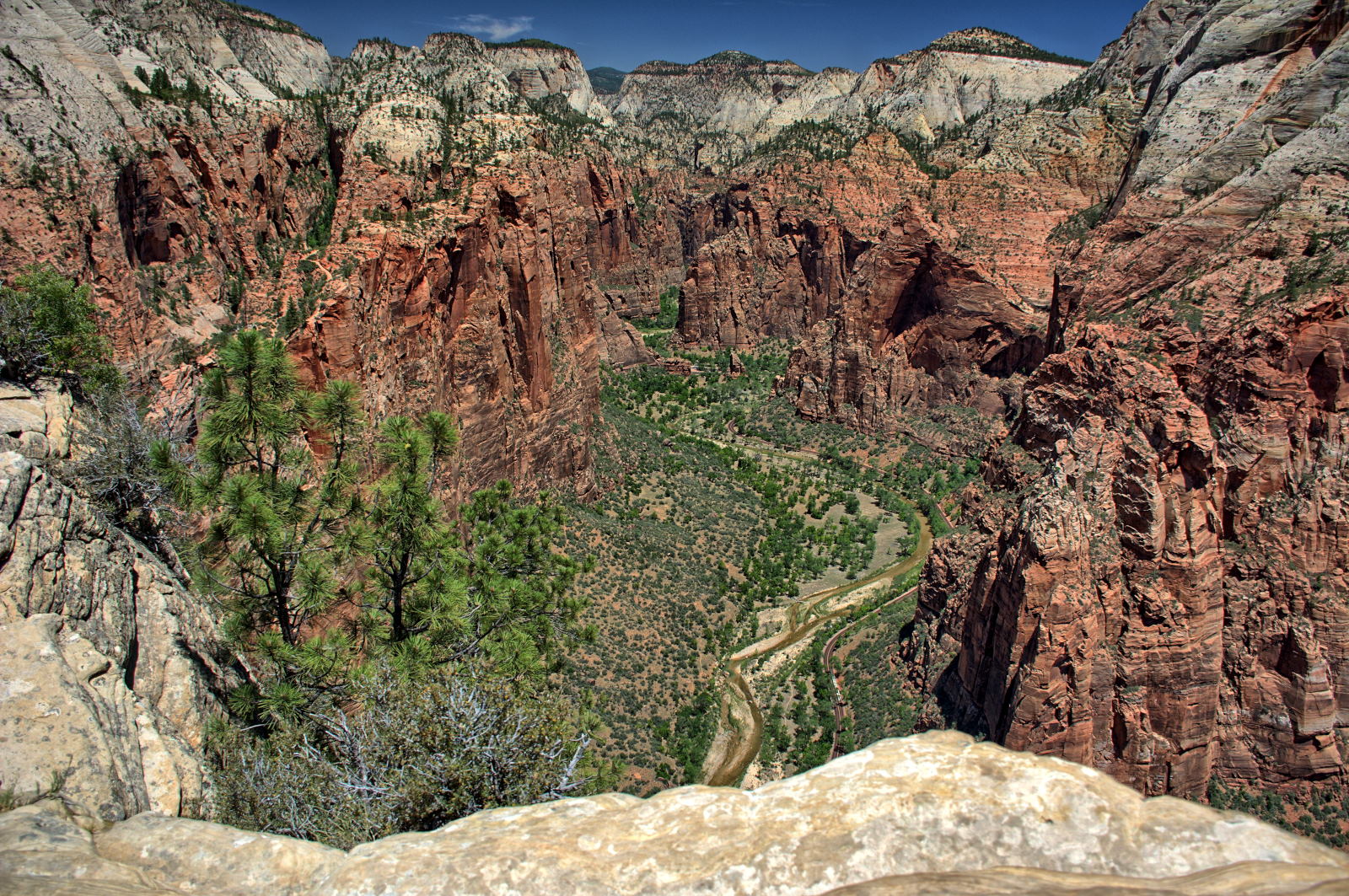
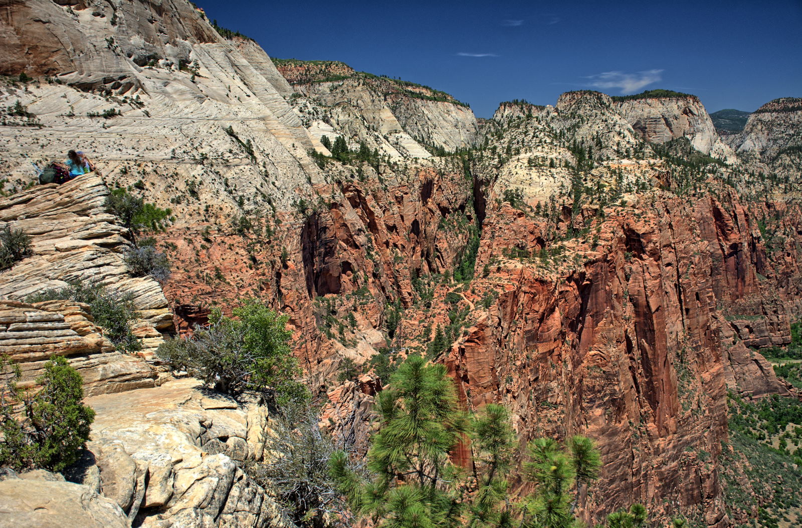
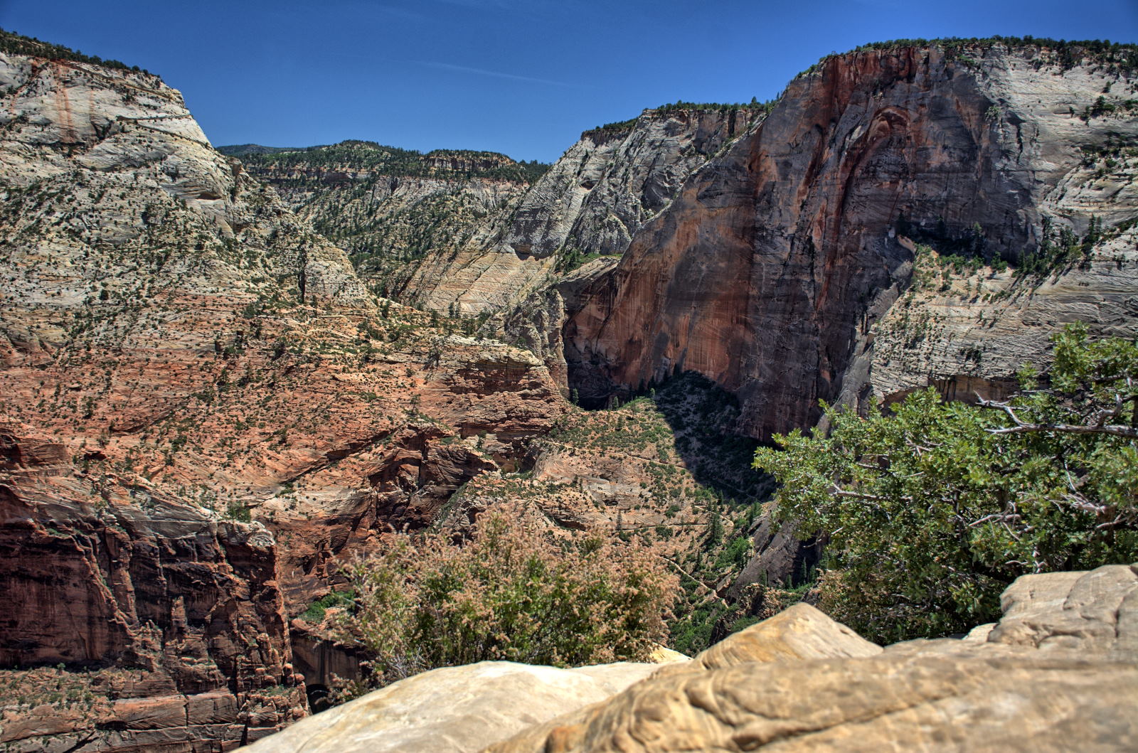
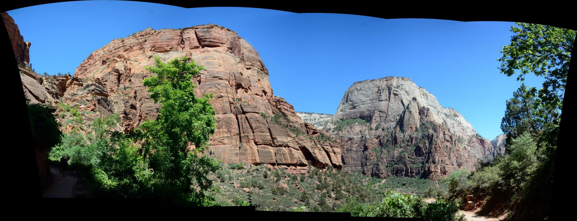
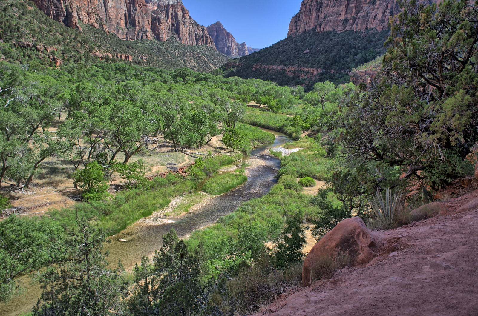
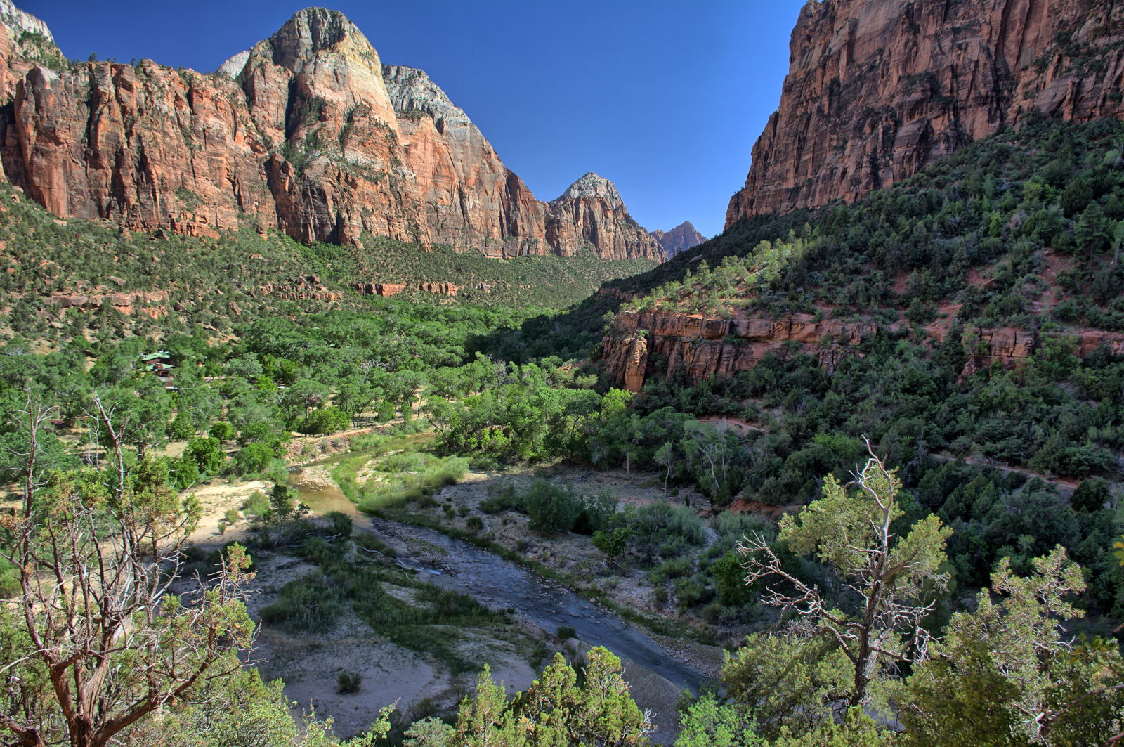
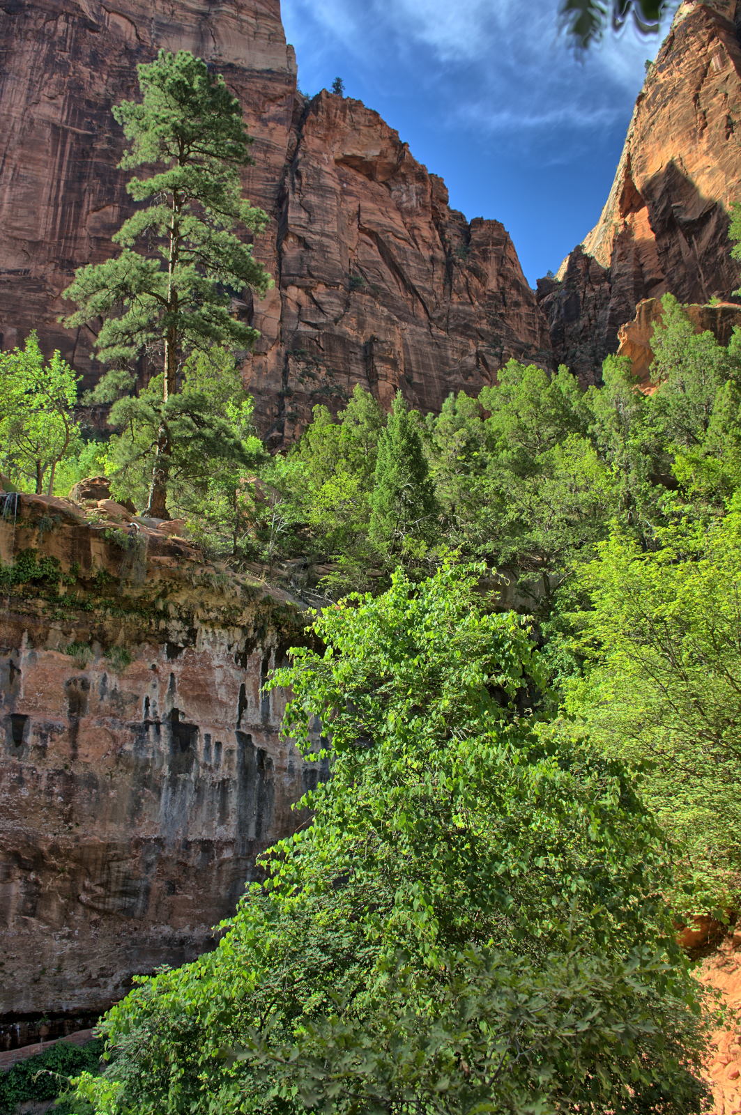
Zion NP Angels Landing
Zion NP Emerald Pools
Nautilus Slot
Wire Pass
Buckskin Gulch
24 June
25 June
26 June
27 June
28 June
29 June
30 June
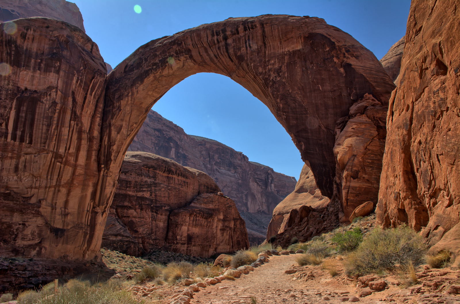
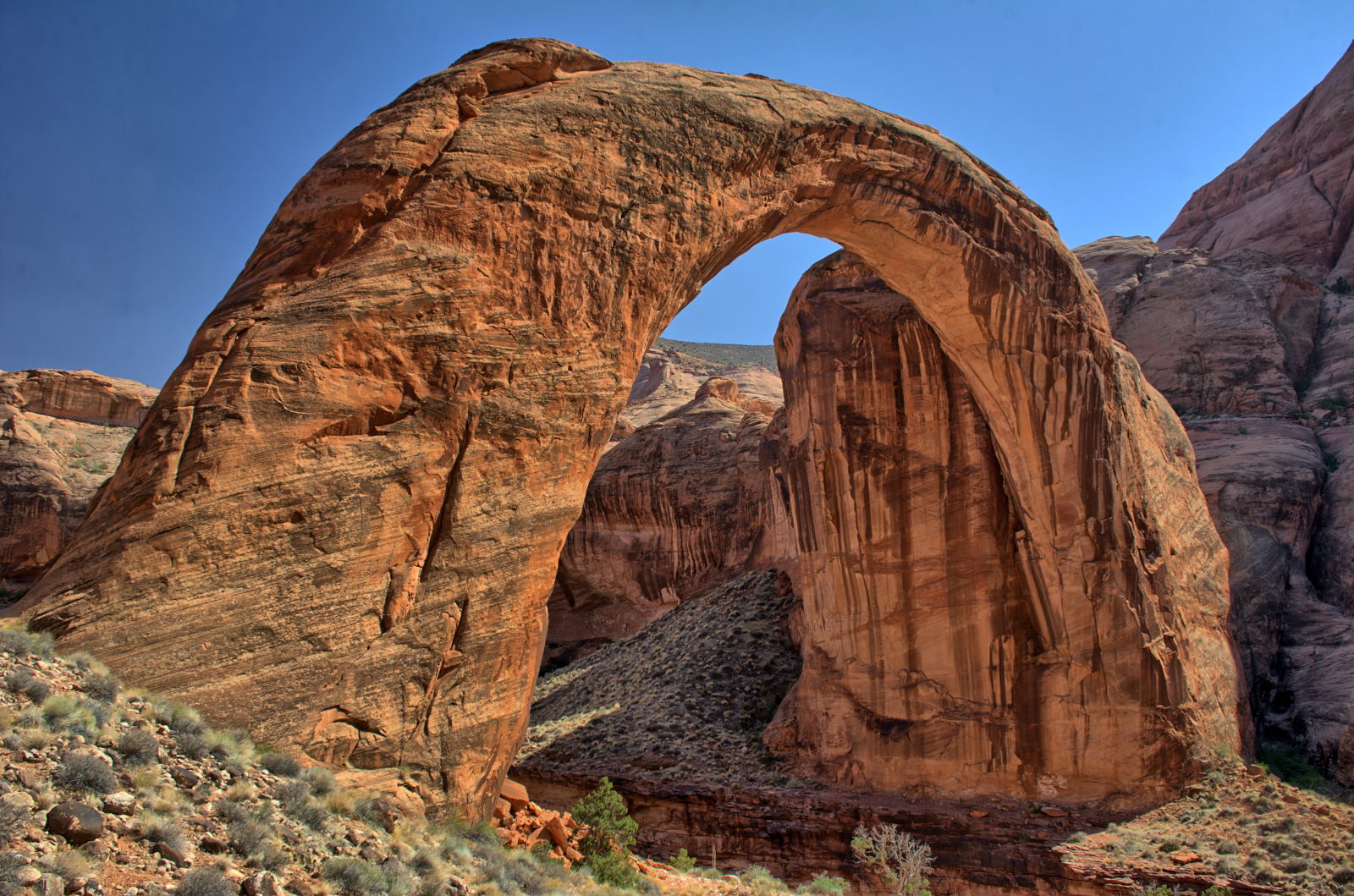
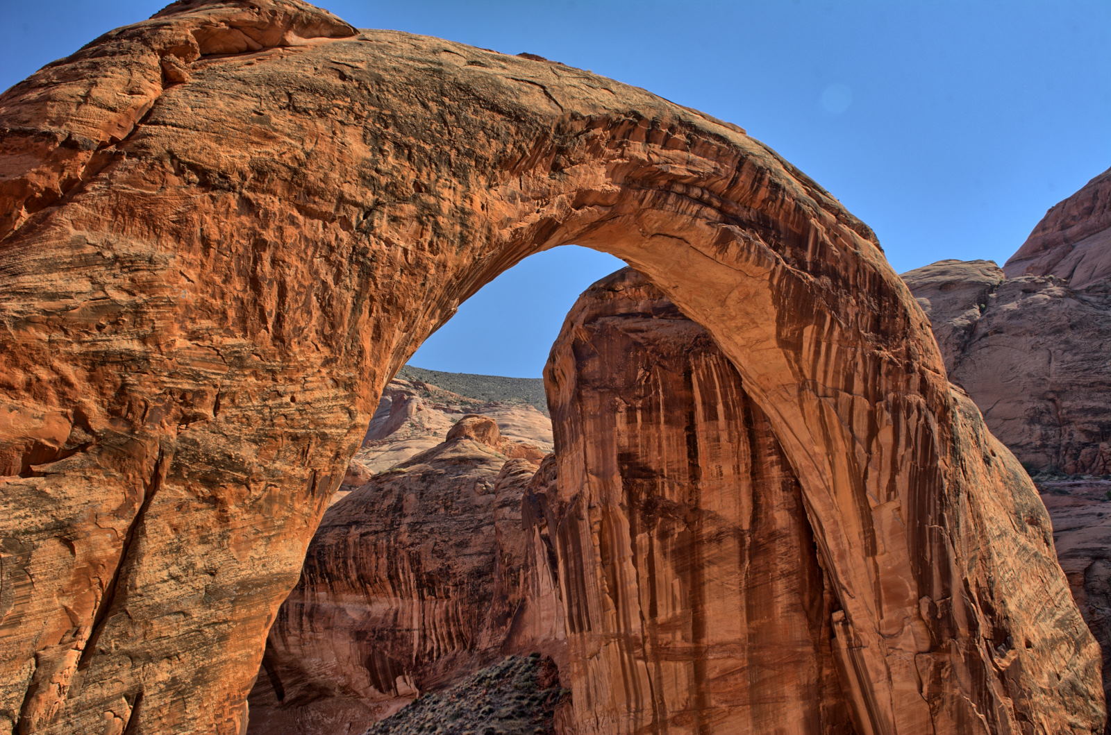
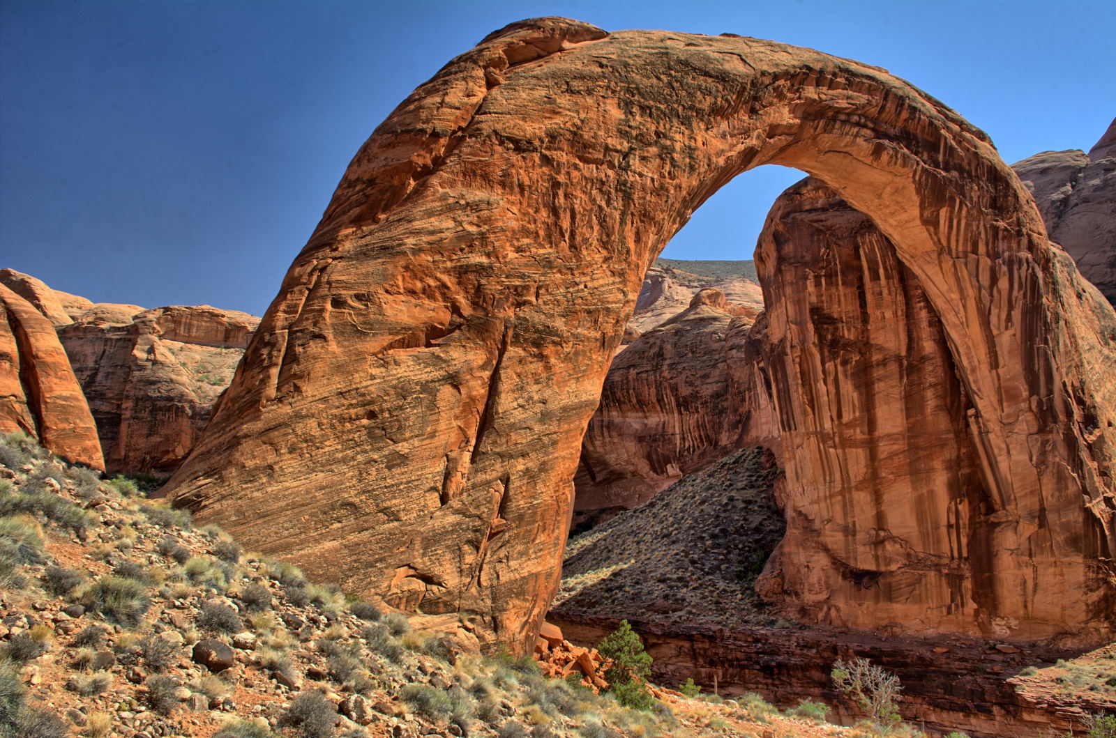
Rainbow Bridge
NM
Lone Rock Beach, Lake Powell, Glen Canyon NRA
Horseshoe Bend
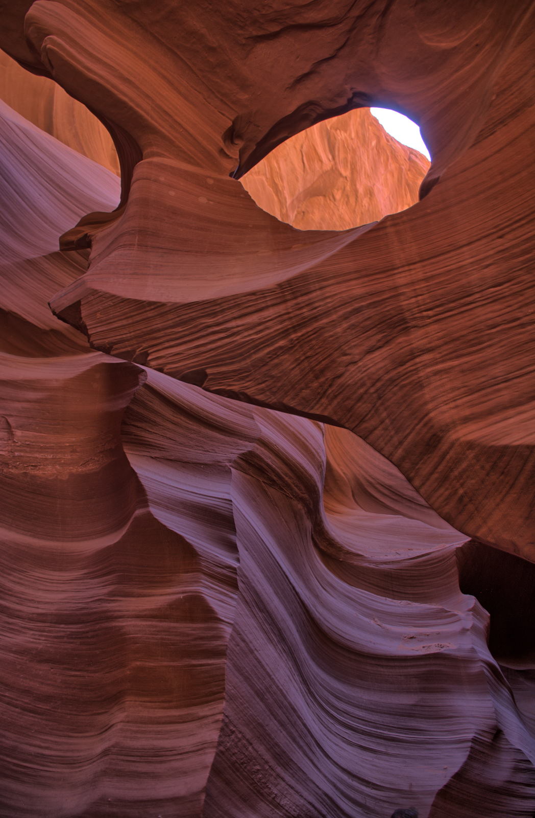
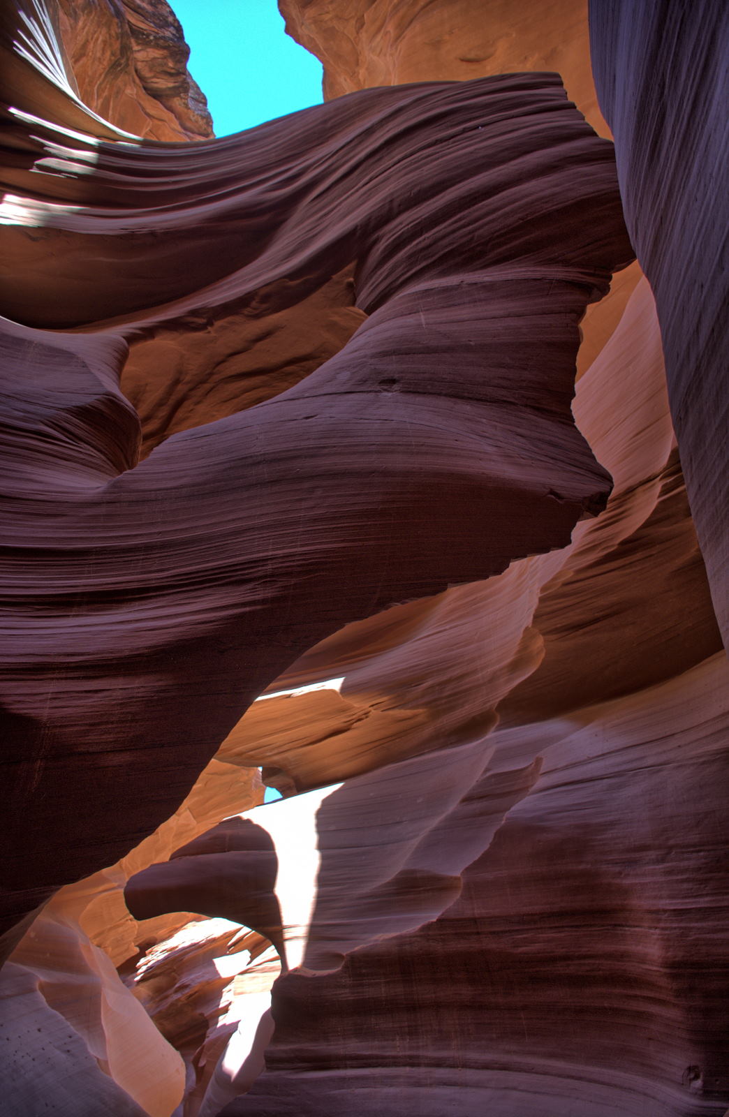
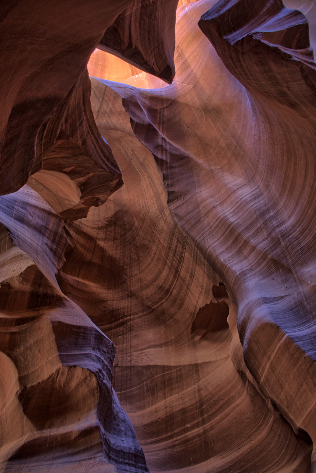
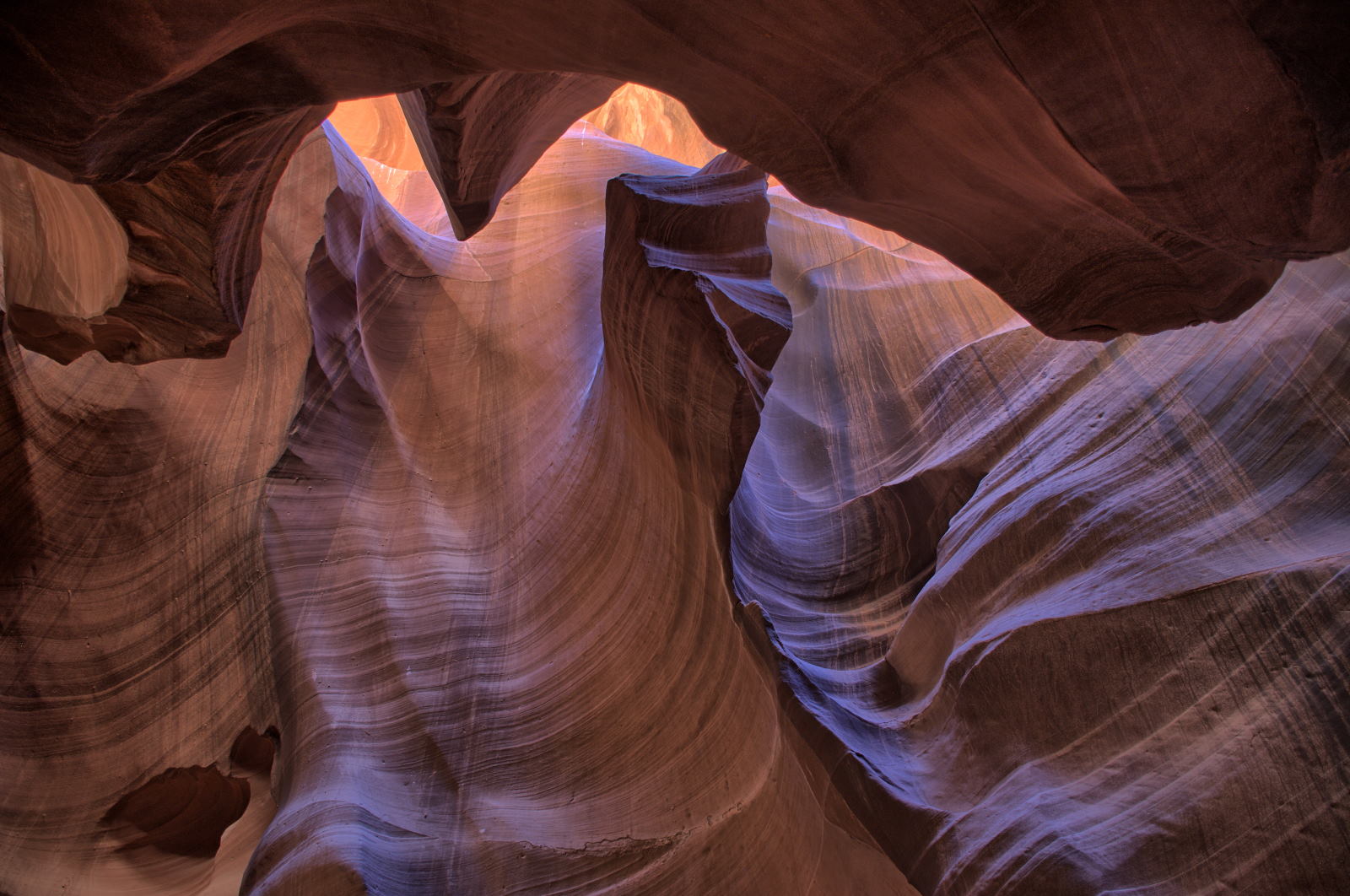
Lower Antelope Canyon
Upper Antelope Canyon
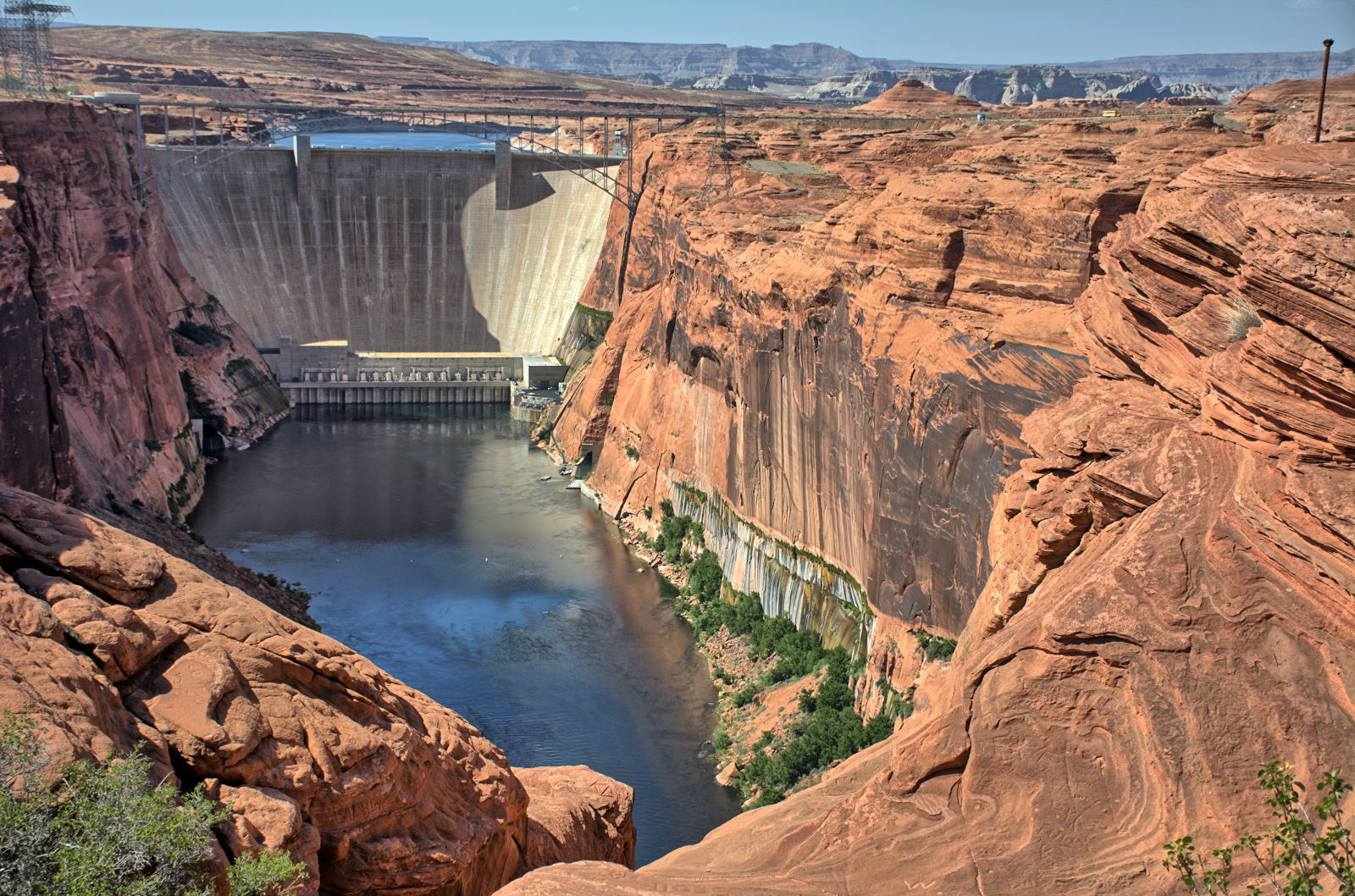
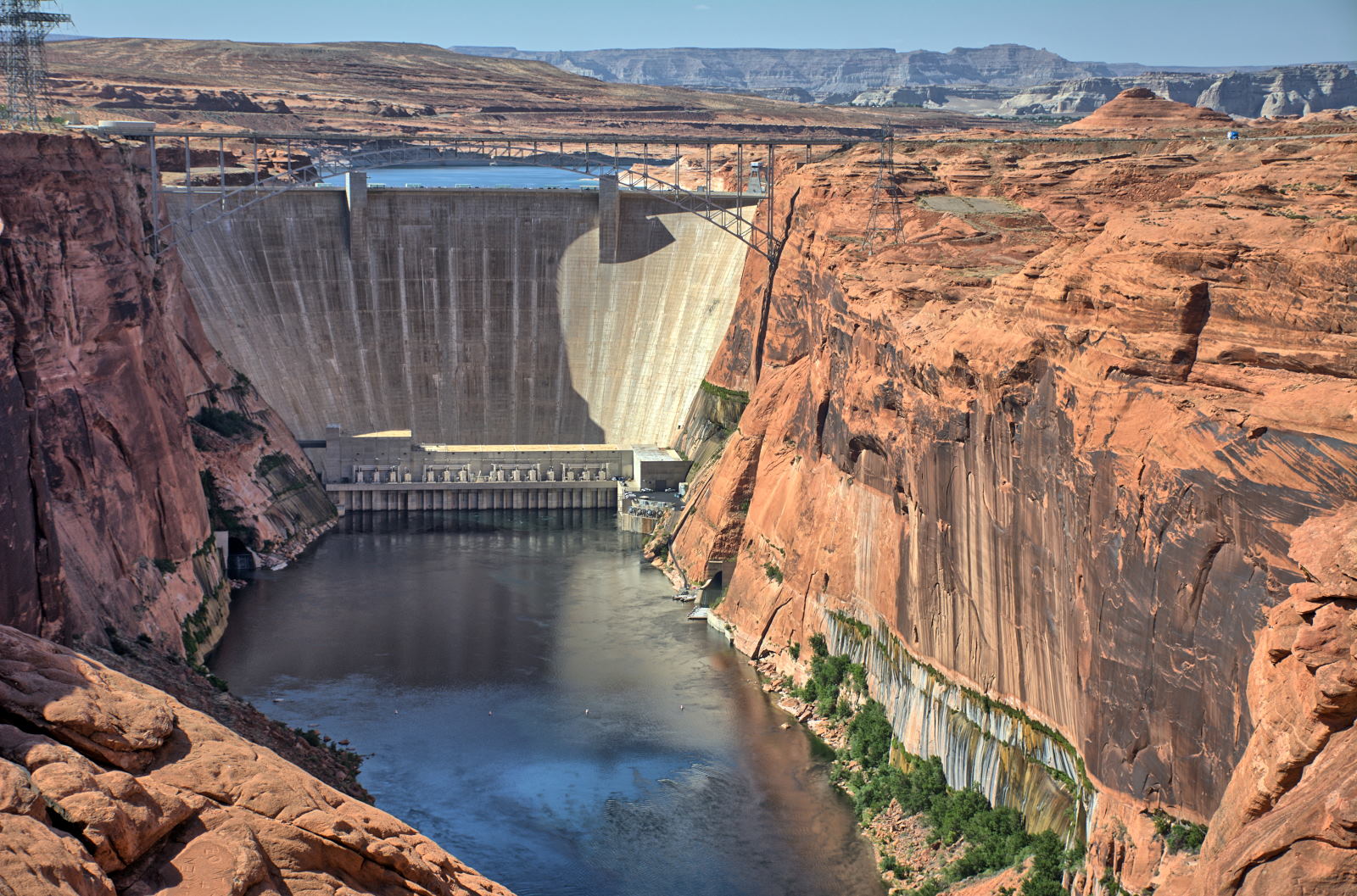
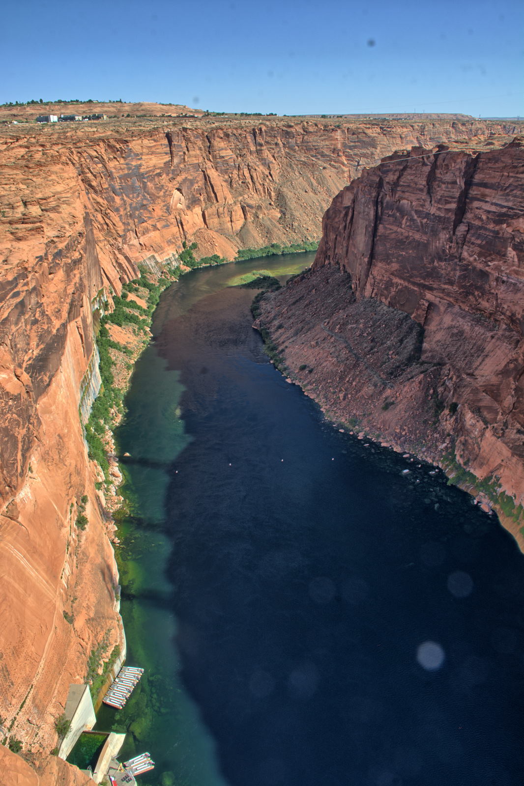
Glen Canyon Dam
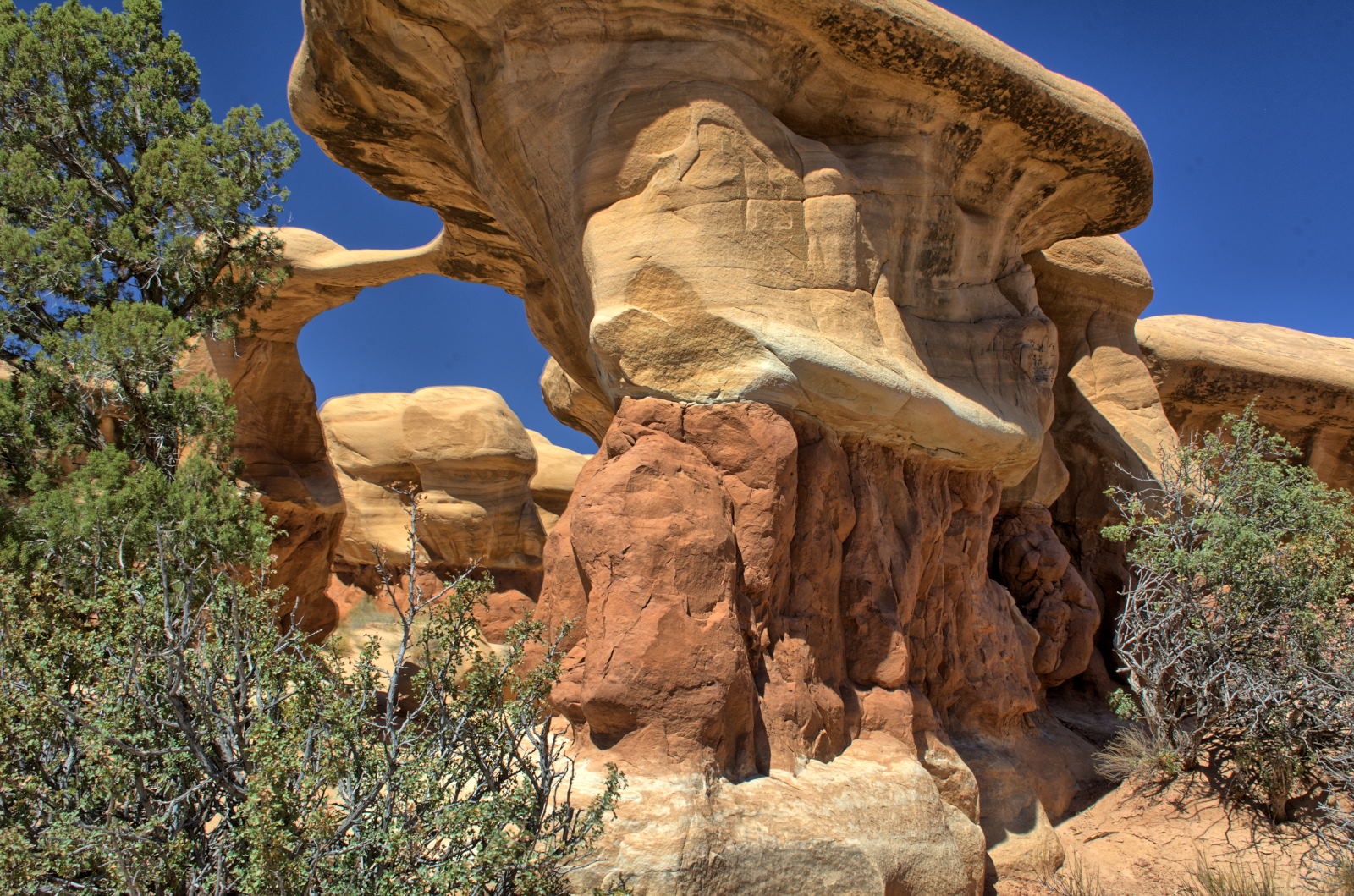
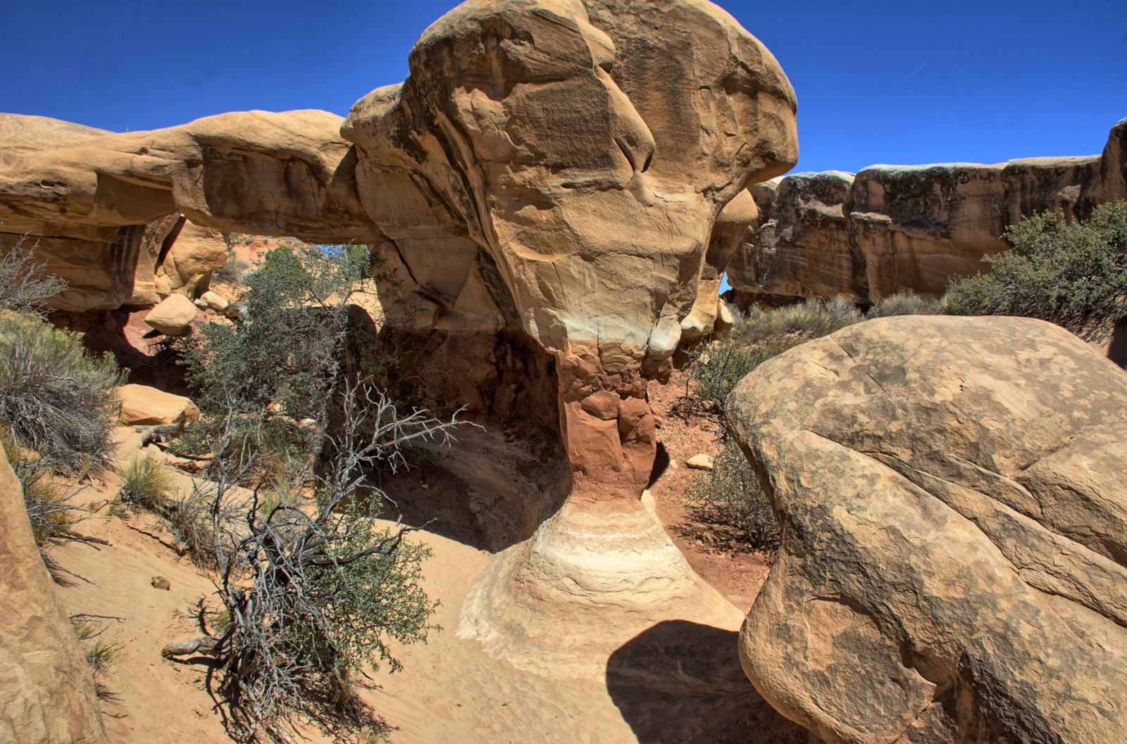
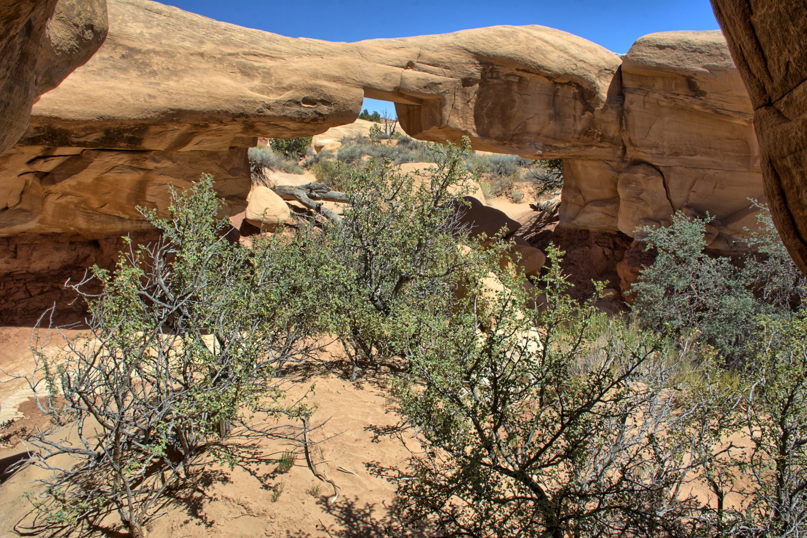
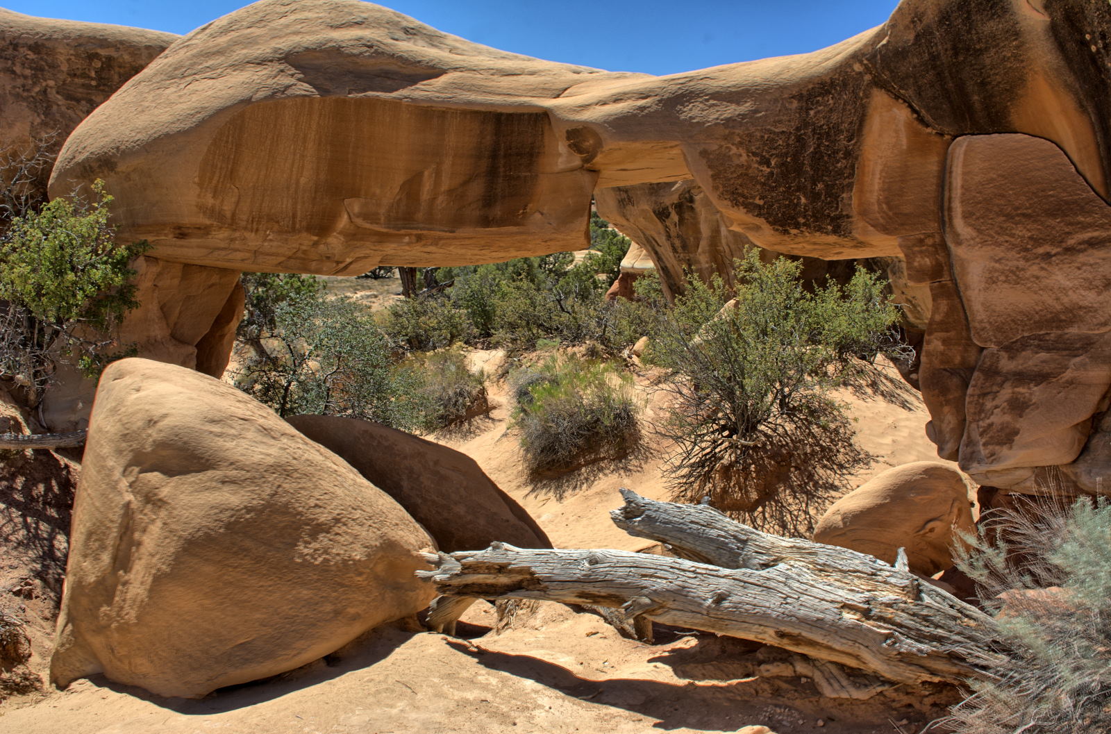
Devils Garden
Spooky & Peek-A-Boo
Hole In The Rock Road
Coyote Gulch
Coyote Gulch
--> Denver, CO
--> Columbia, MO
01 July
02 July
03 July
04 July
05 July
06 July
07 July
--> Charleston, WV
--> Home
Home
Home: Cookout
Home
Home
Home
08 July
09 July
10 July
11 July
12 July
13 July
14 July
Home
Home
Home
--> Soddy Daisy, TN
--> Destin, FL
Florida
Florida: Wedding
15 July
16 July
17 July
18 July
19 July
20 July
21 July
Florida
--> Atlanta, GA
--> Home
Home
Home
Home
Home
28
October
29 October
30 October
31 October
1 November
2 November
3 November
Home
Home
Home
Home
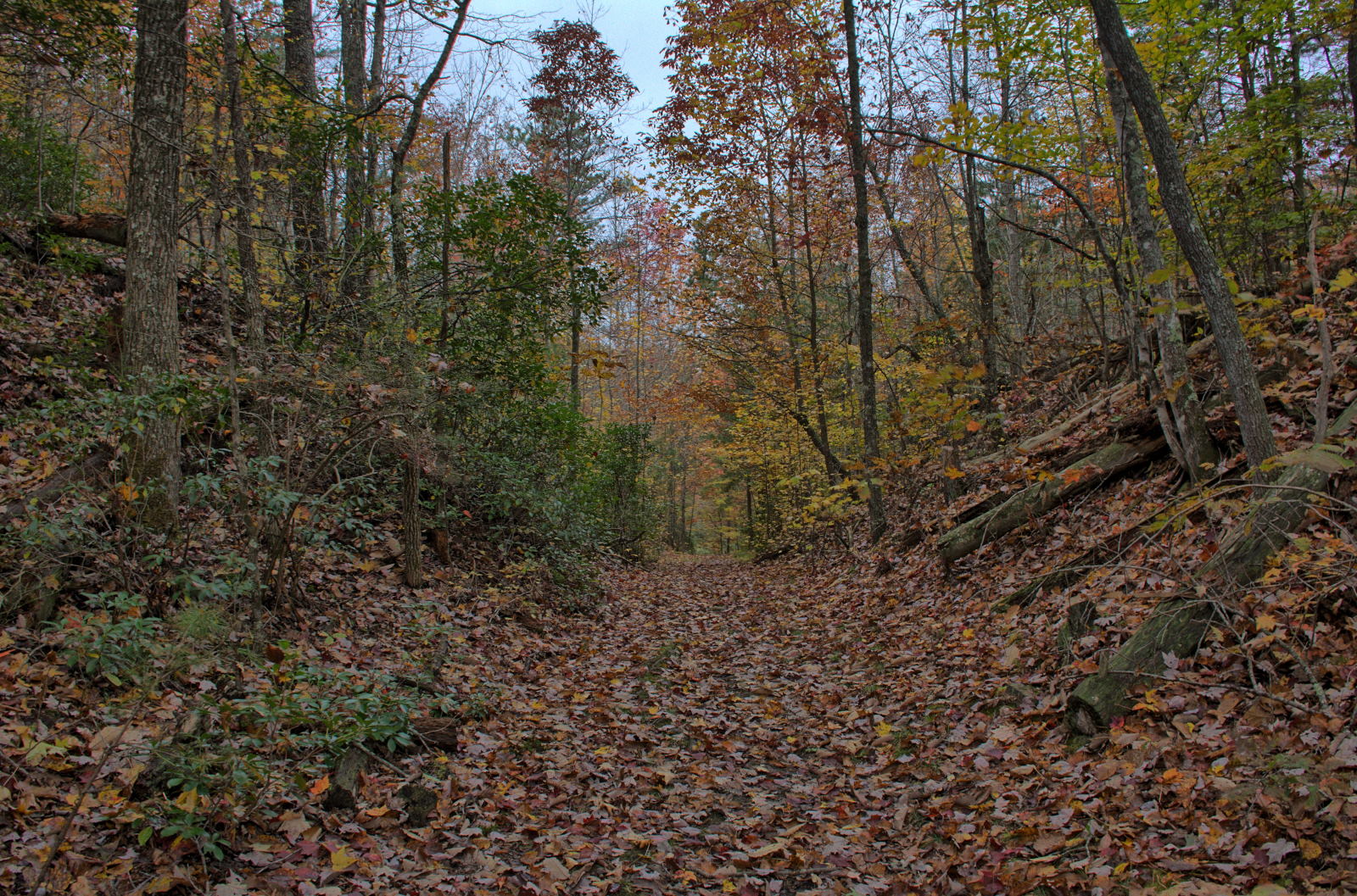
Shenandoah NP
Blue Ridge Parkway
Cumberland Gap NHP
Big South Fork NRA
4 November
5 November
6 November
7 November
8 November
9 November
10 November
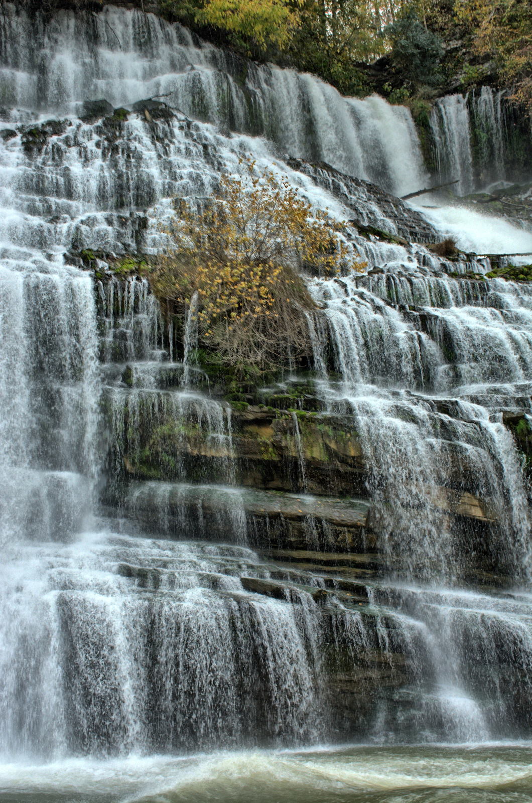
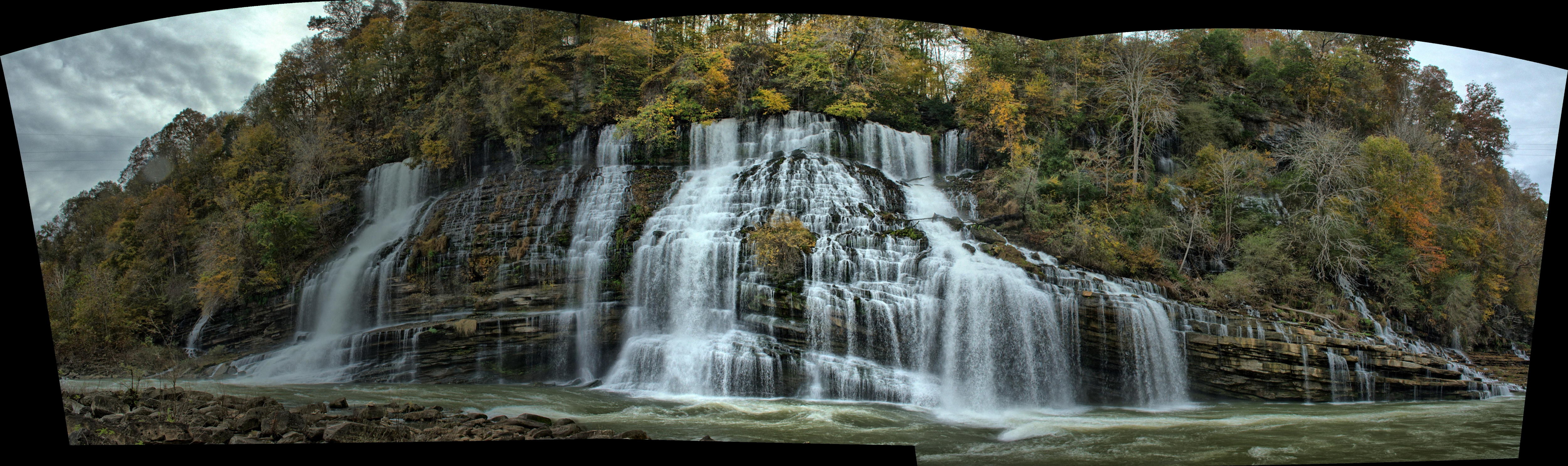
Rock Island SP
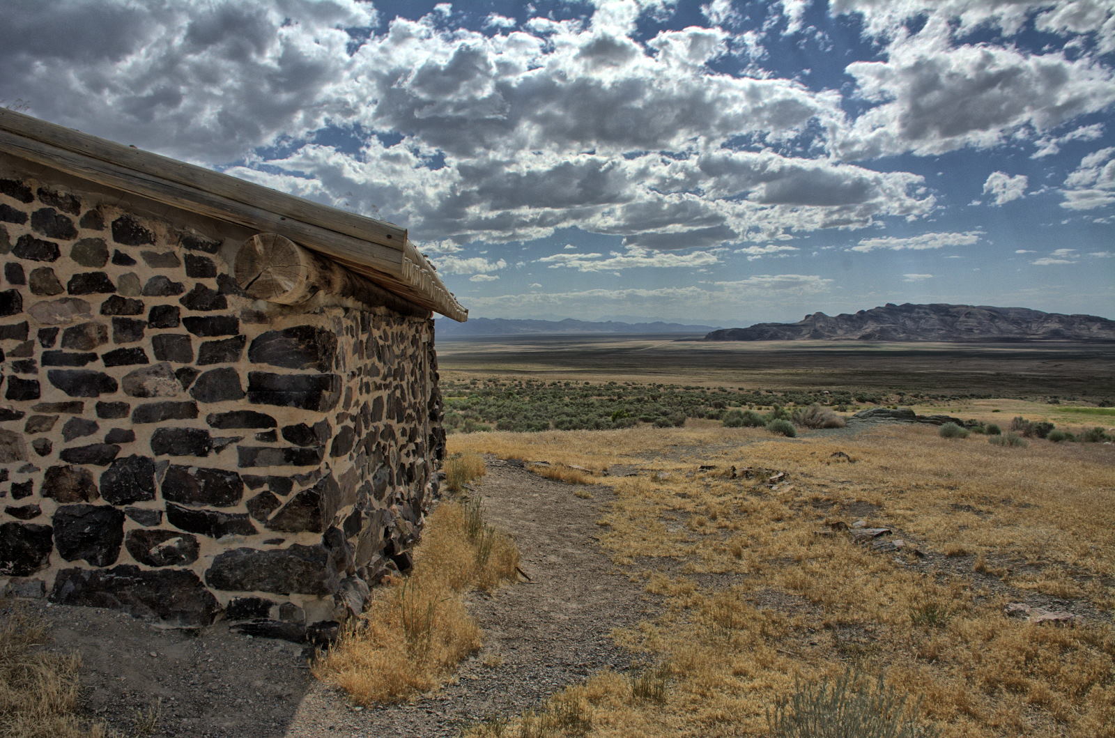
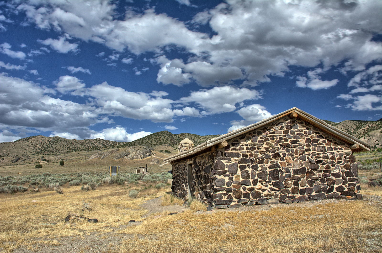
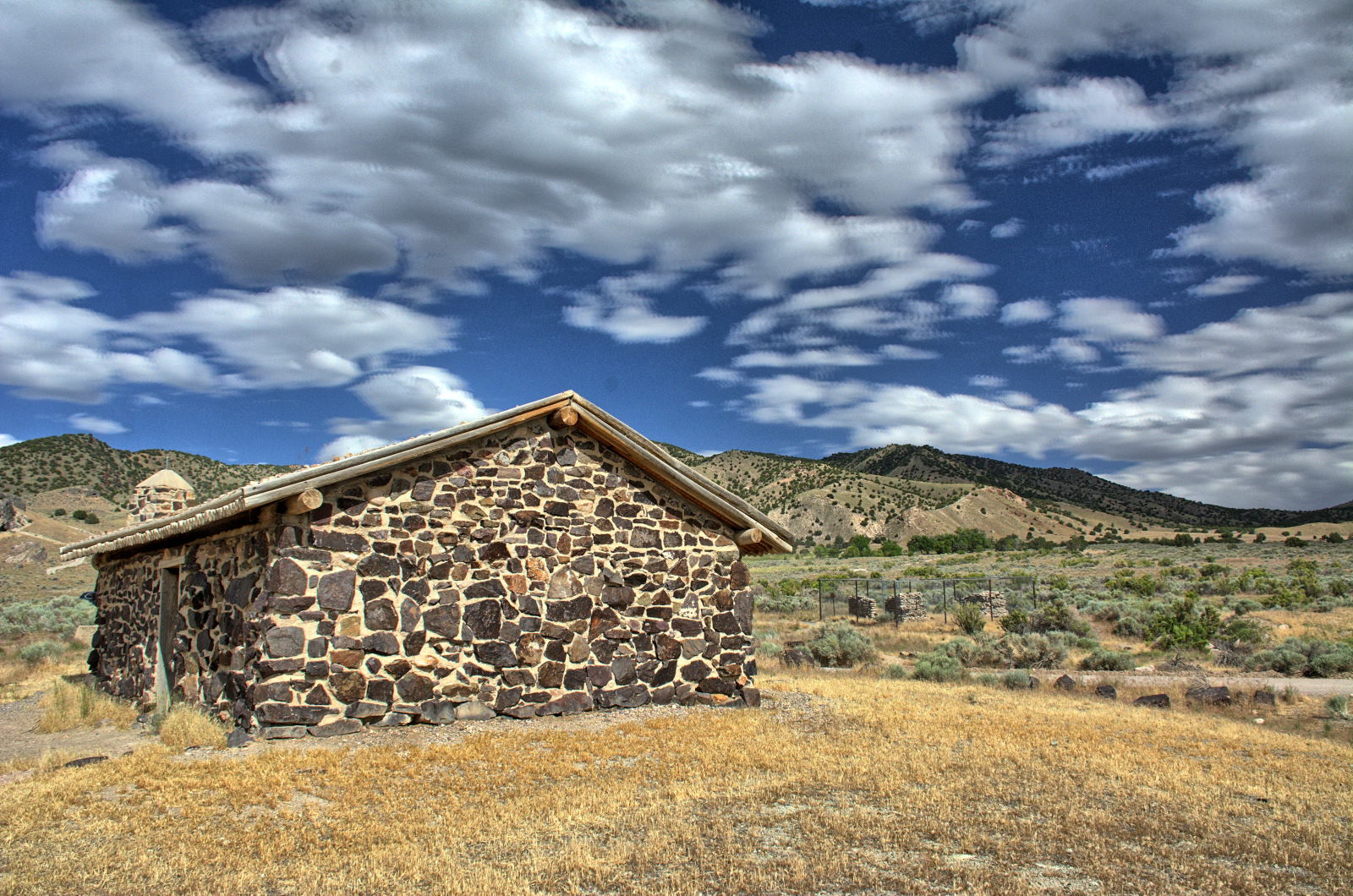
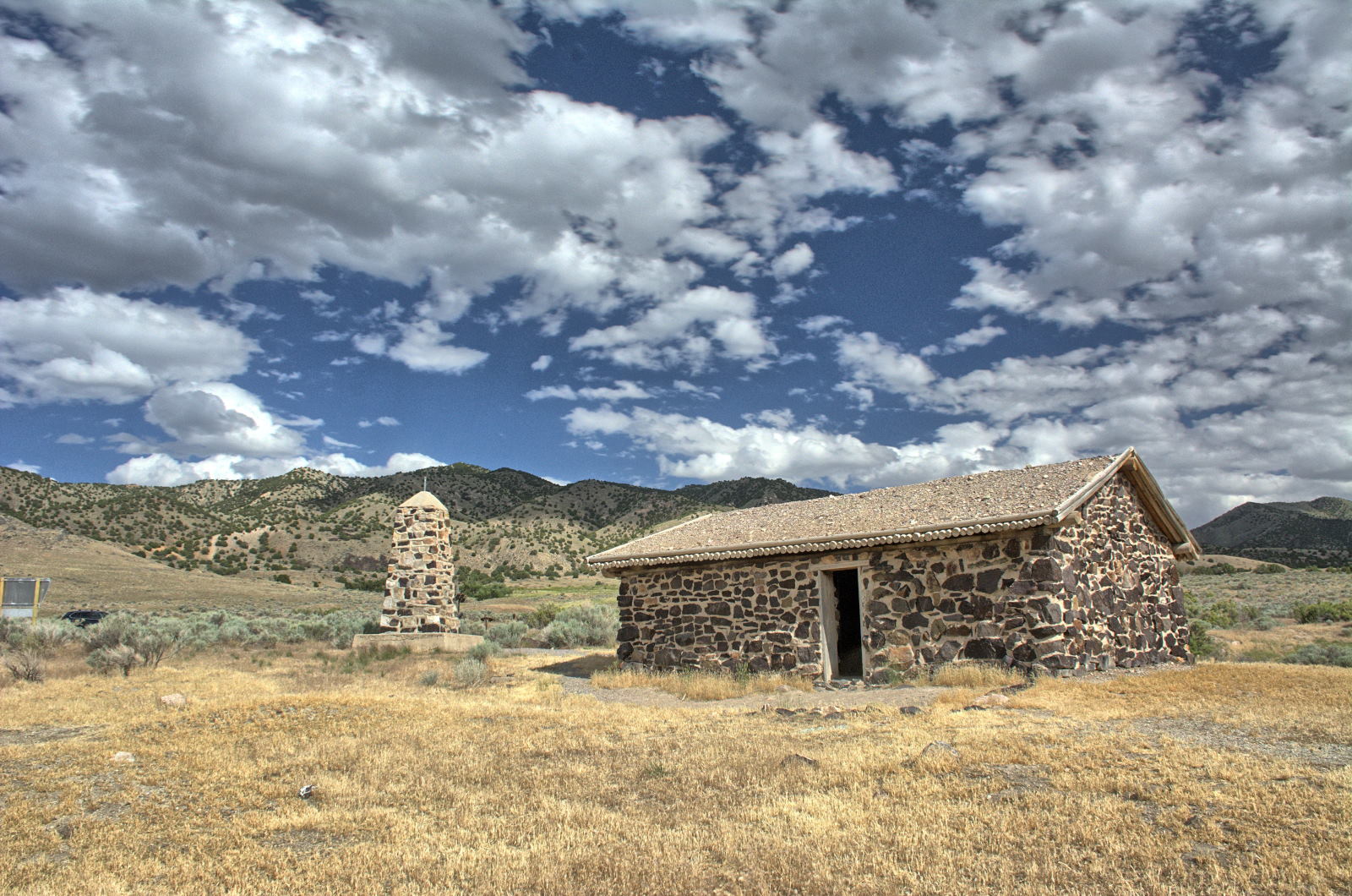
Redstone Flight Test
Redstone Flight Test
Redstone Flight Test
Redstone Flight Test
Redstone Flight Test
Cumberland Trail
11
November
12 November
13 November
14
November
15 November
16 November
17 November
Fall Creek Falls SP
Soddy Daisy
Great Smoky Mountains NP
Chimney Rock SP
Home
Home
Home
Chris took along three remote control airplanes and two quadcopters, all
equipped with cameras to take aerial video. He also took along his GoPro
and two GoPro-like action cams, and two Gear 360's to capture 360 degree video.
Videos were taken mounted on the windshield of his car, on a head-mount, and on
an extended pole above Chris' backpack. The videos are spread across this
webpage, and all of them are listed together here as well. Aerial videos
and the locations they were taken are also available at my
Aerial Video
webpage.
After Chris was done with work and Nathan was done with school on Thursday,
they started their trip with a drive from home to Charleston, West Virginia. They
stayed at Tami's parents' home on Thursday night.
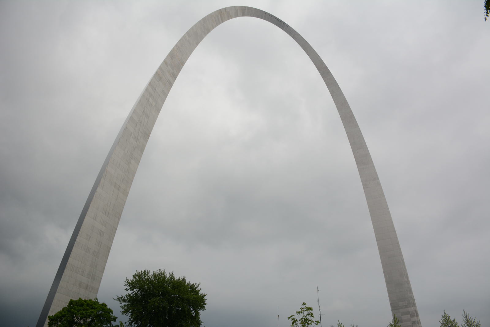
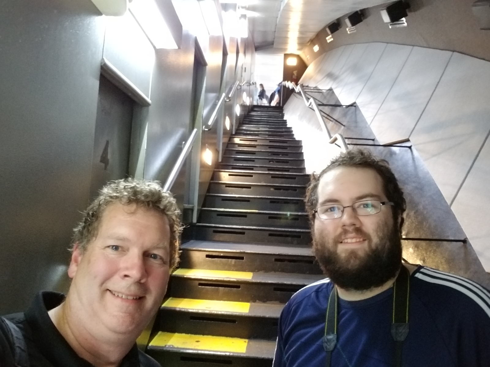
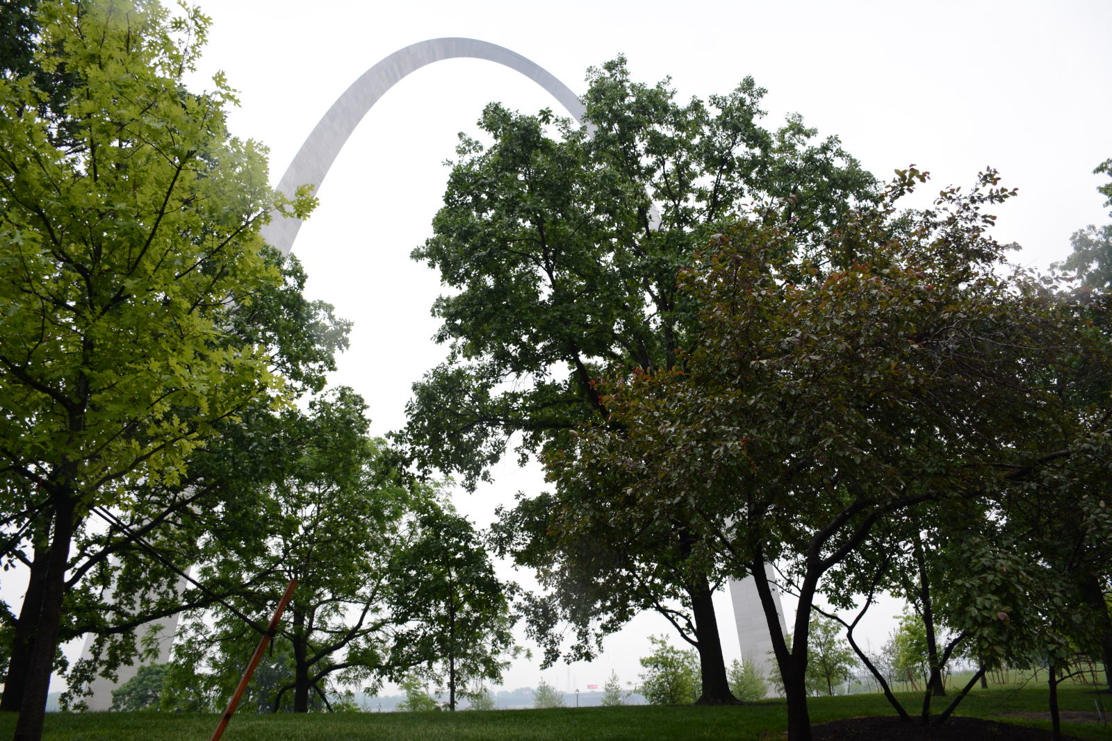
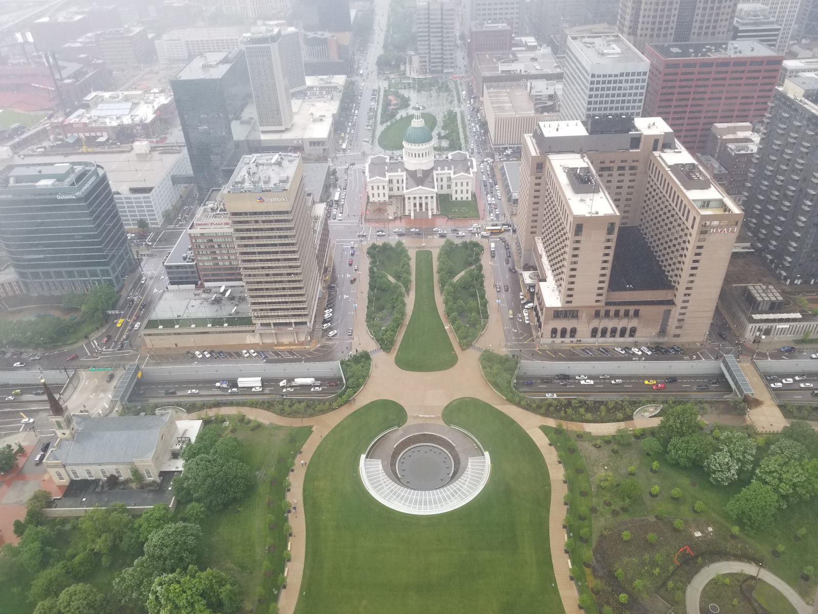
They got up early and drove from Charleston, West Virginia to St Louis,
Missouri, where they
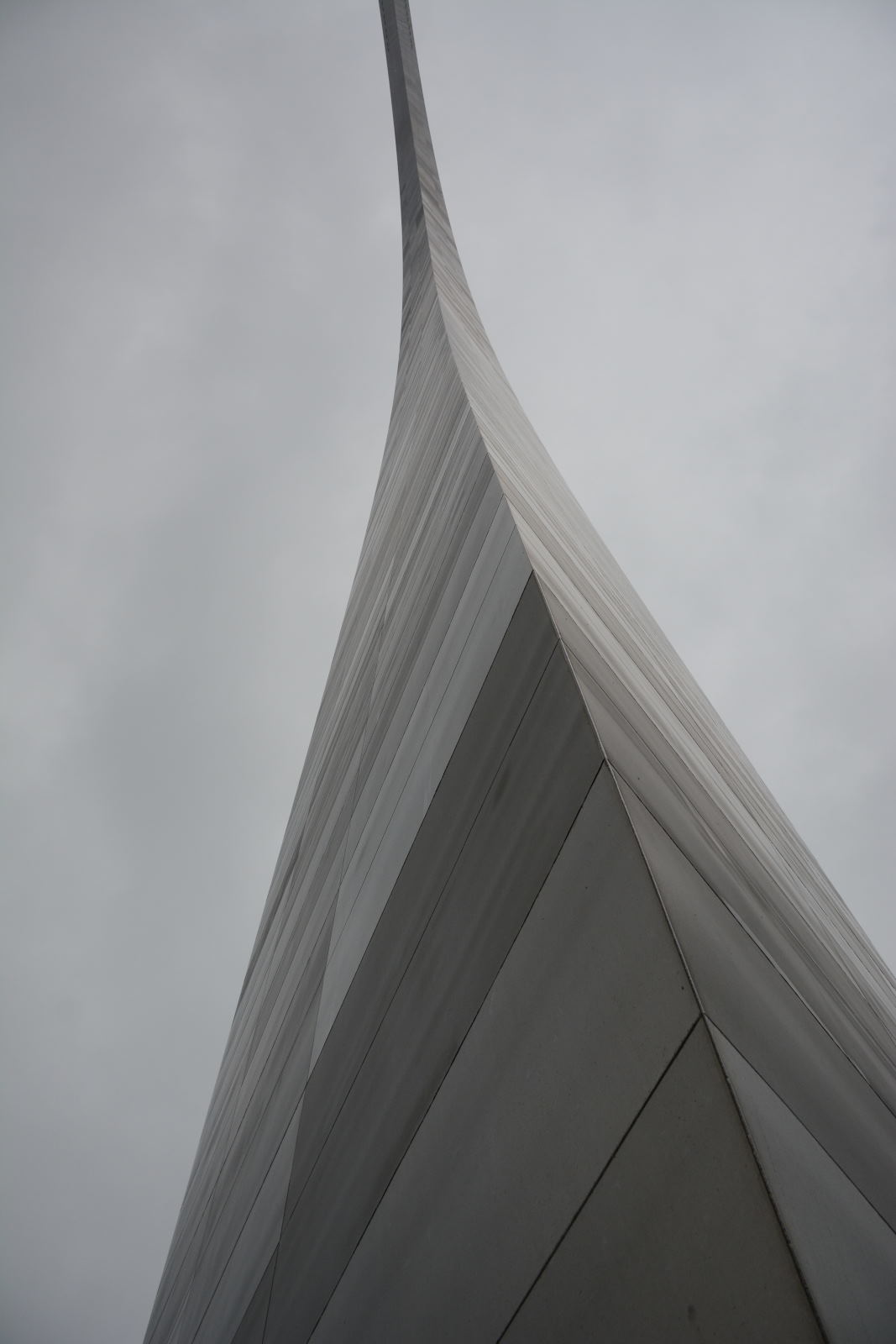
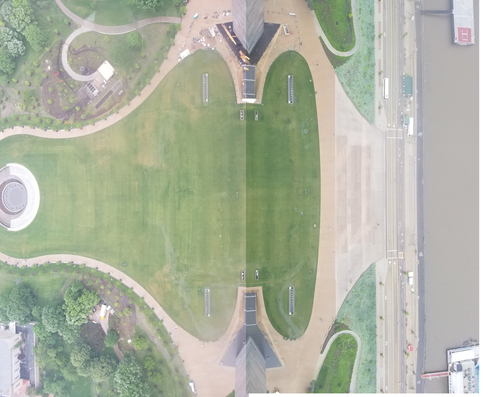
stopped at Gateway Arch National Park and rode to the top of the Arch. This was
Chris' third trip up the Arch and Nathan's first trip. After the Arch, they continued on from St Louis, Missouri to Kansas City, Kansas, where
they spent the night at a hotel.
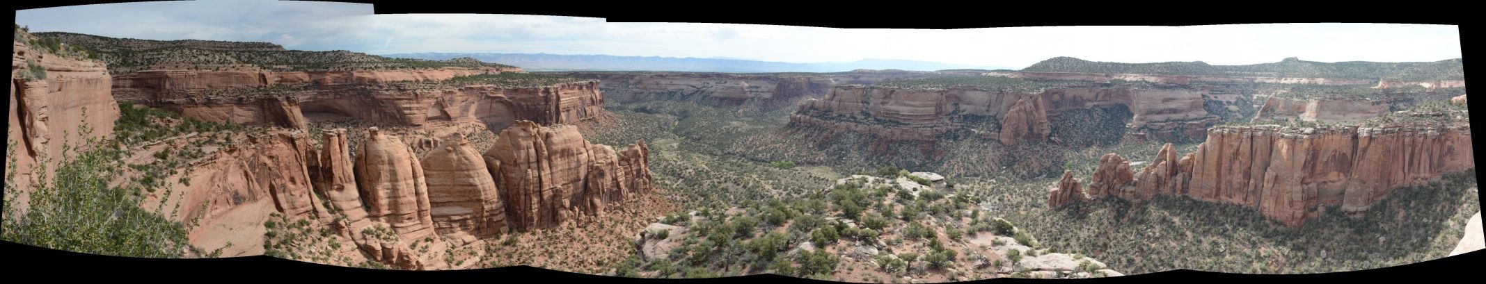
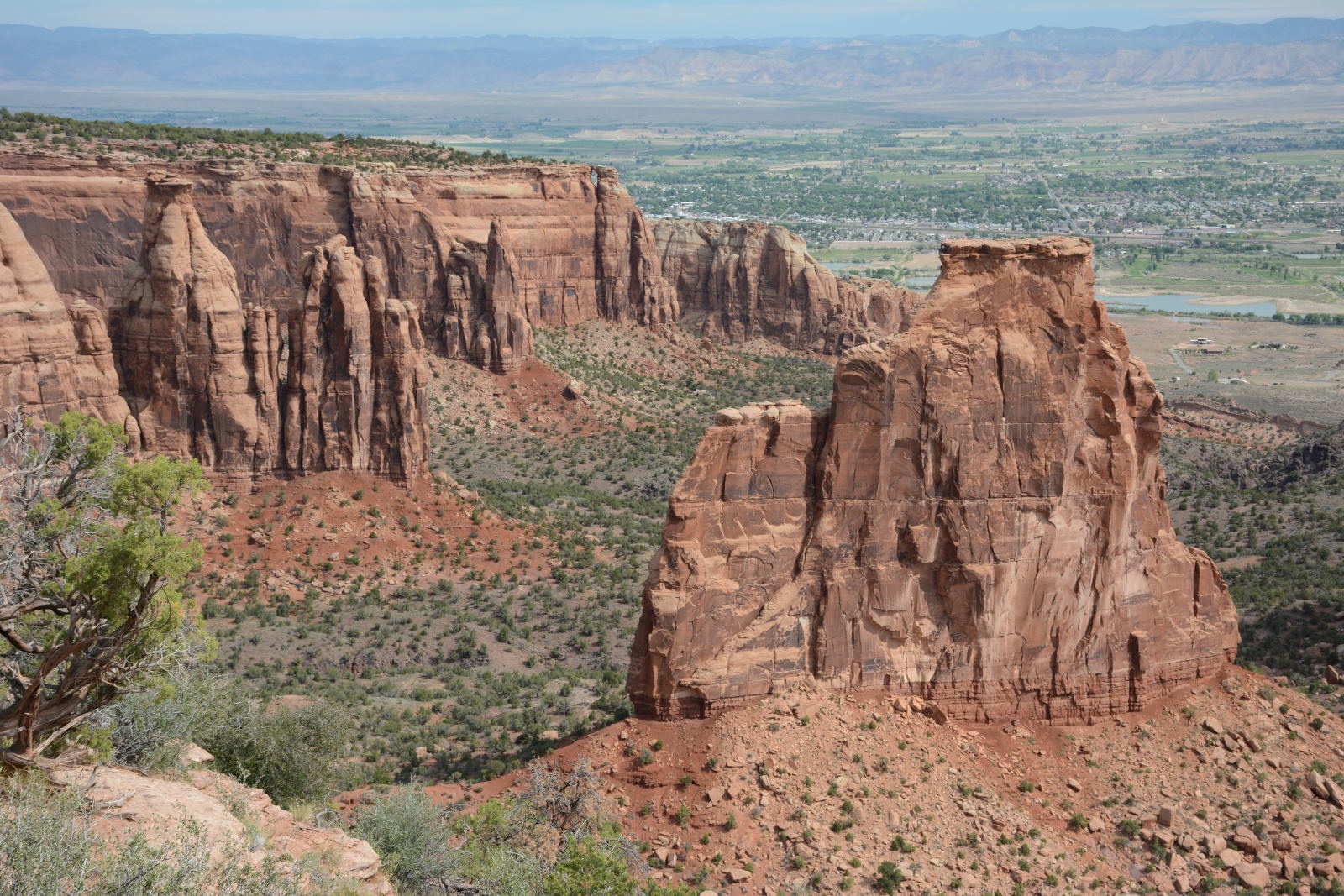
Chris and Nathan started the day by driving Rimrock Road from south to north
at Colorado National Monument, just went of Grand Junction, Colorado. They then
continued on to Moab, UT.
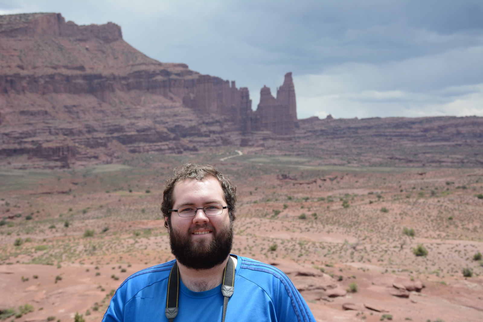
On the way to Moab, they stopped at Fisher Towers. There were storms
brewing in the distance, and no one was climbing when they were there.
Fisher Towers, east of Moab
They drove on to Moab and checked into their hotel, before heading back out
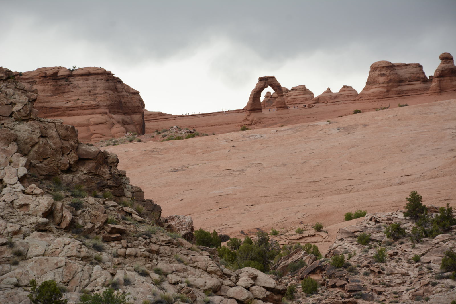
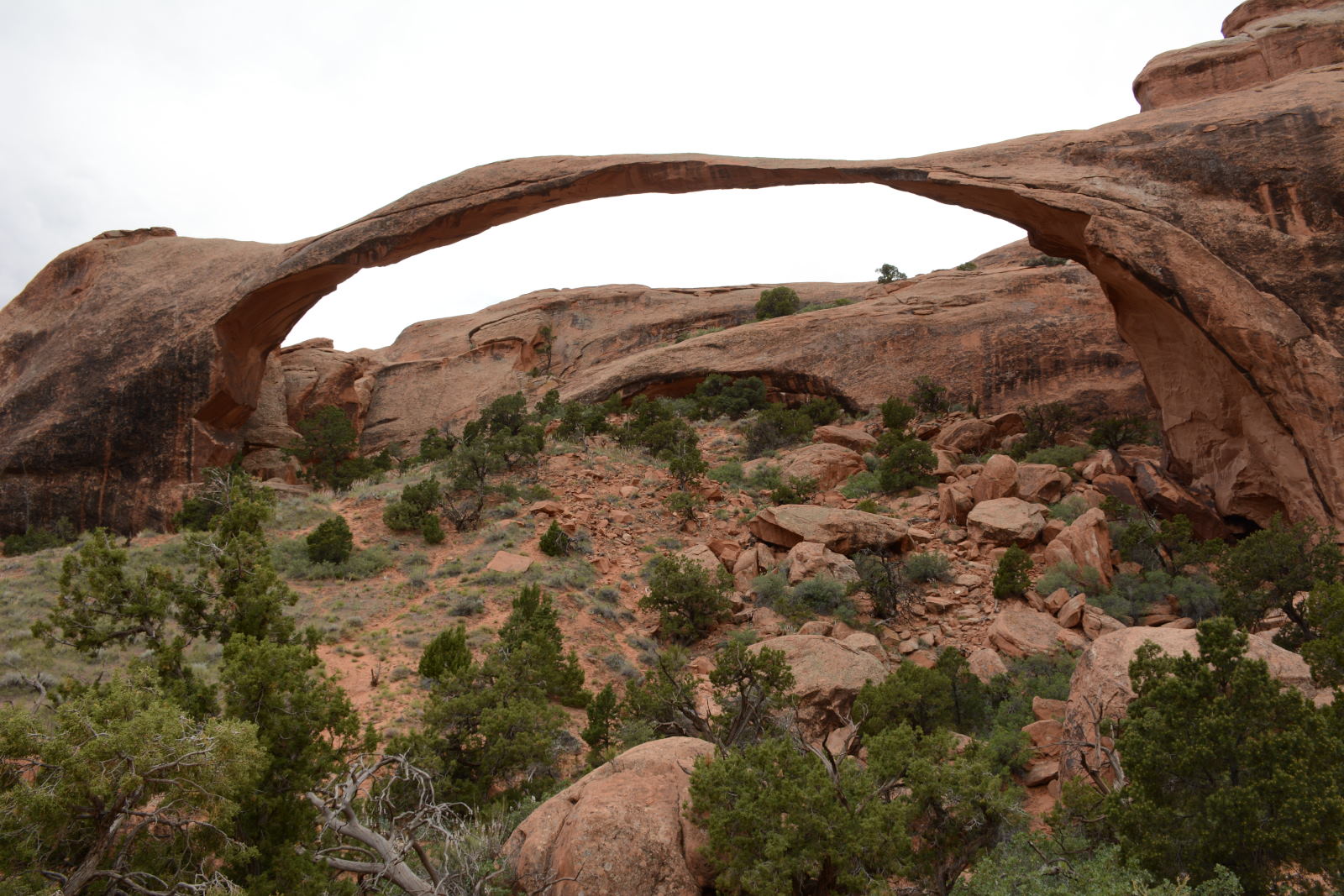
to Arches National Park. The drove to the Delicate Arch lower viewpoint,
then hiked the Devils Garden Trail out to Landscape Arch,
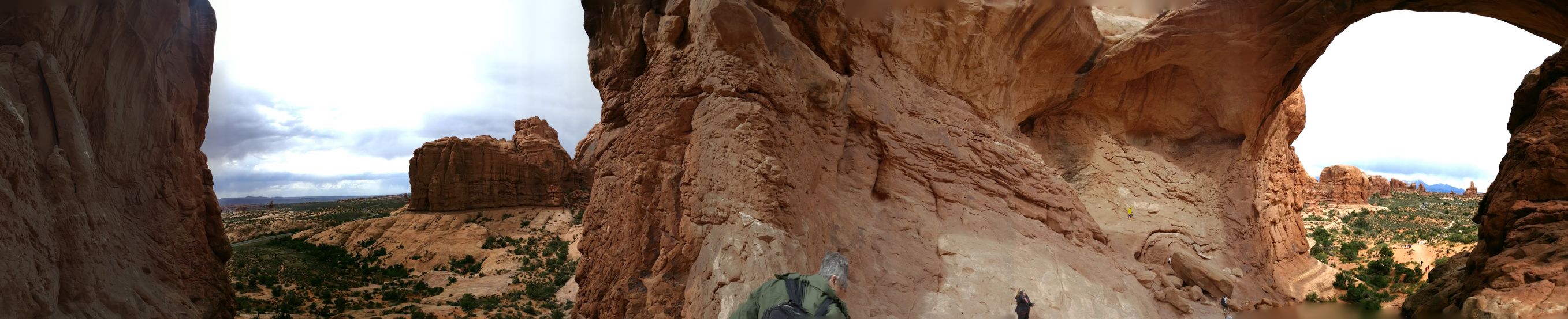
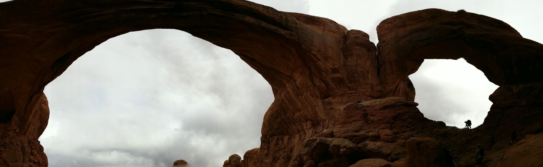
walked around the Windows
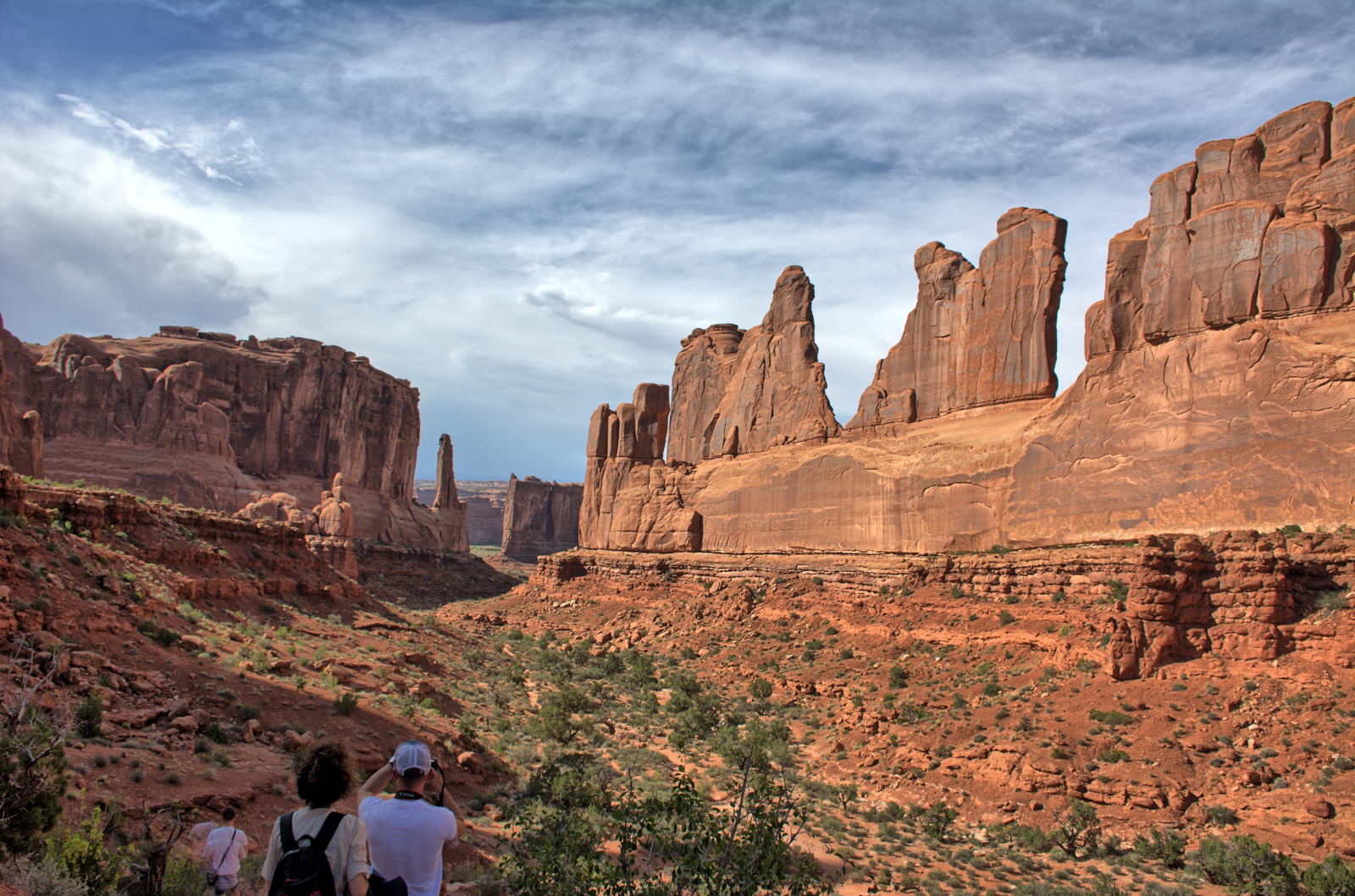
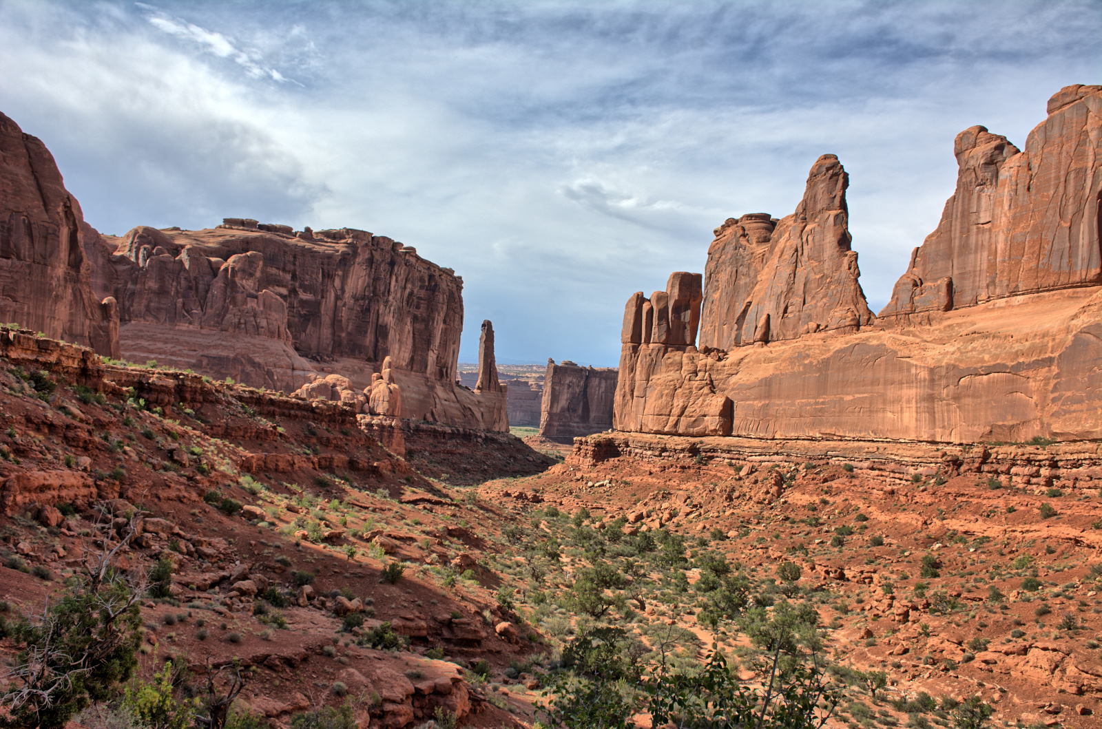
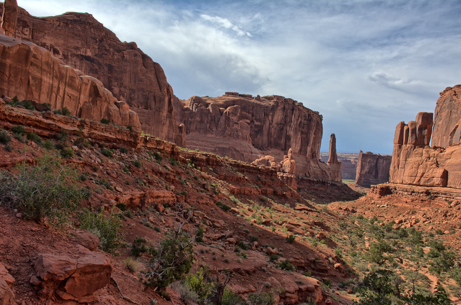
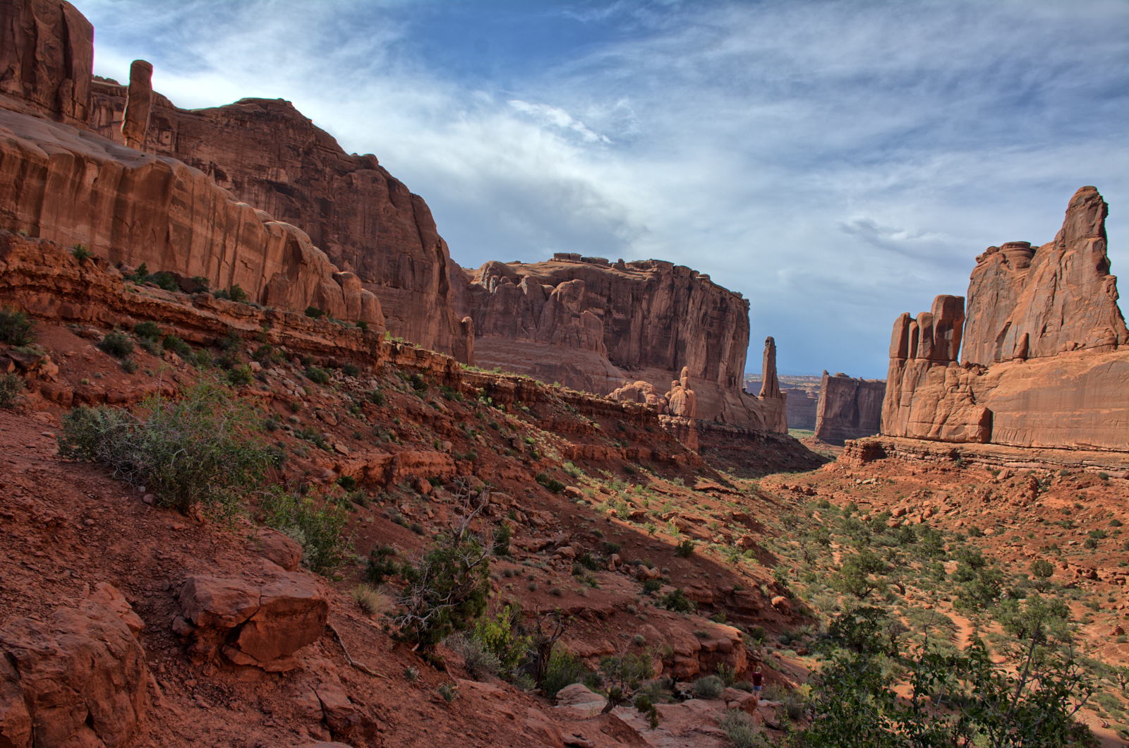
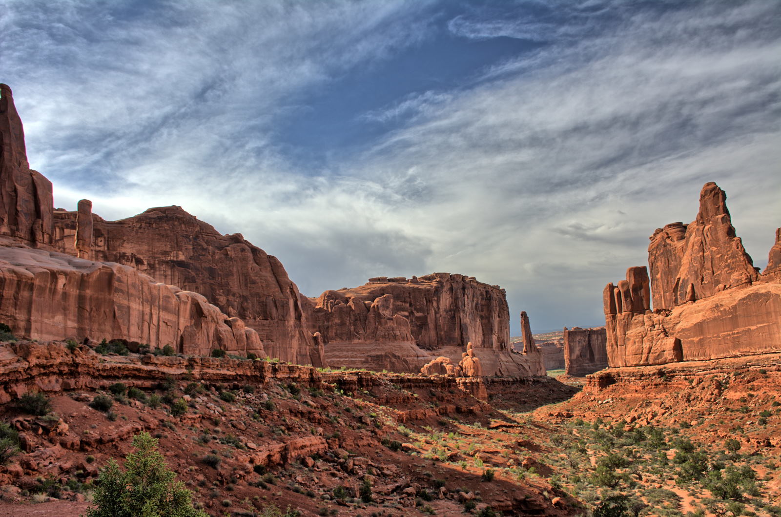
section for a bit, and then stopped at Park Avenue before returning to Moab for dinner.
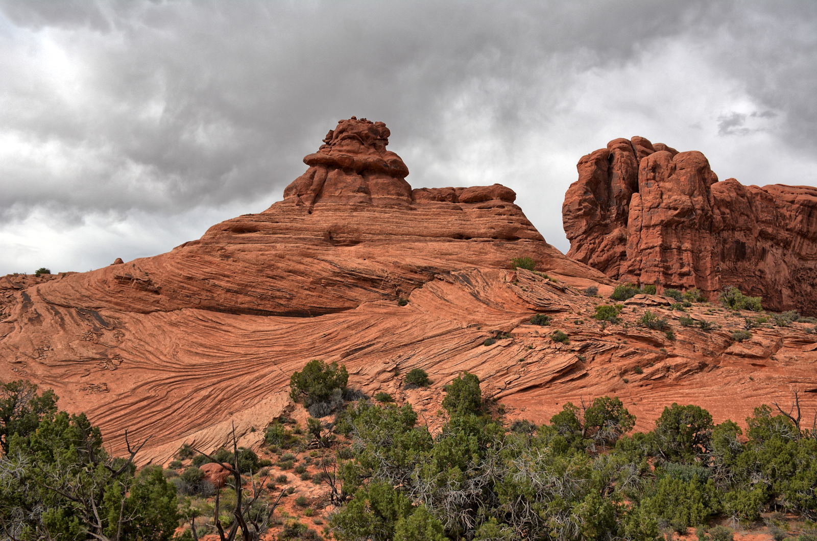
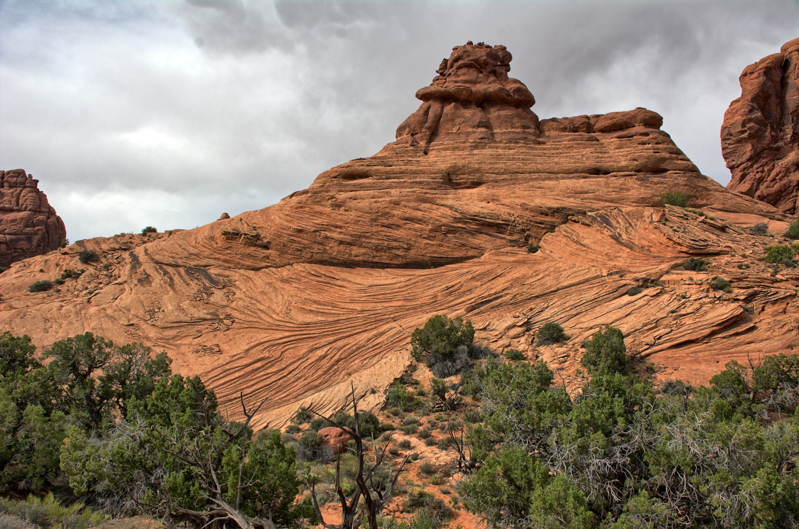
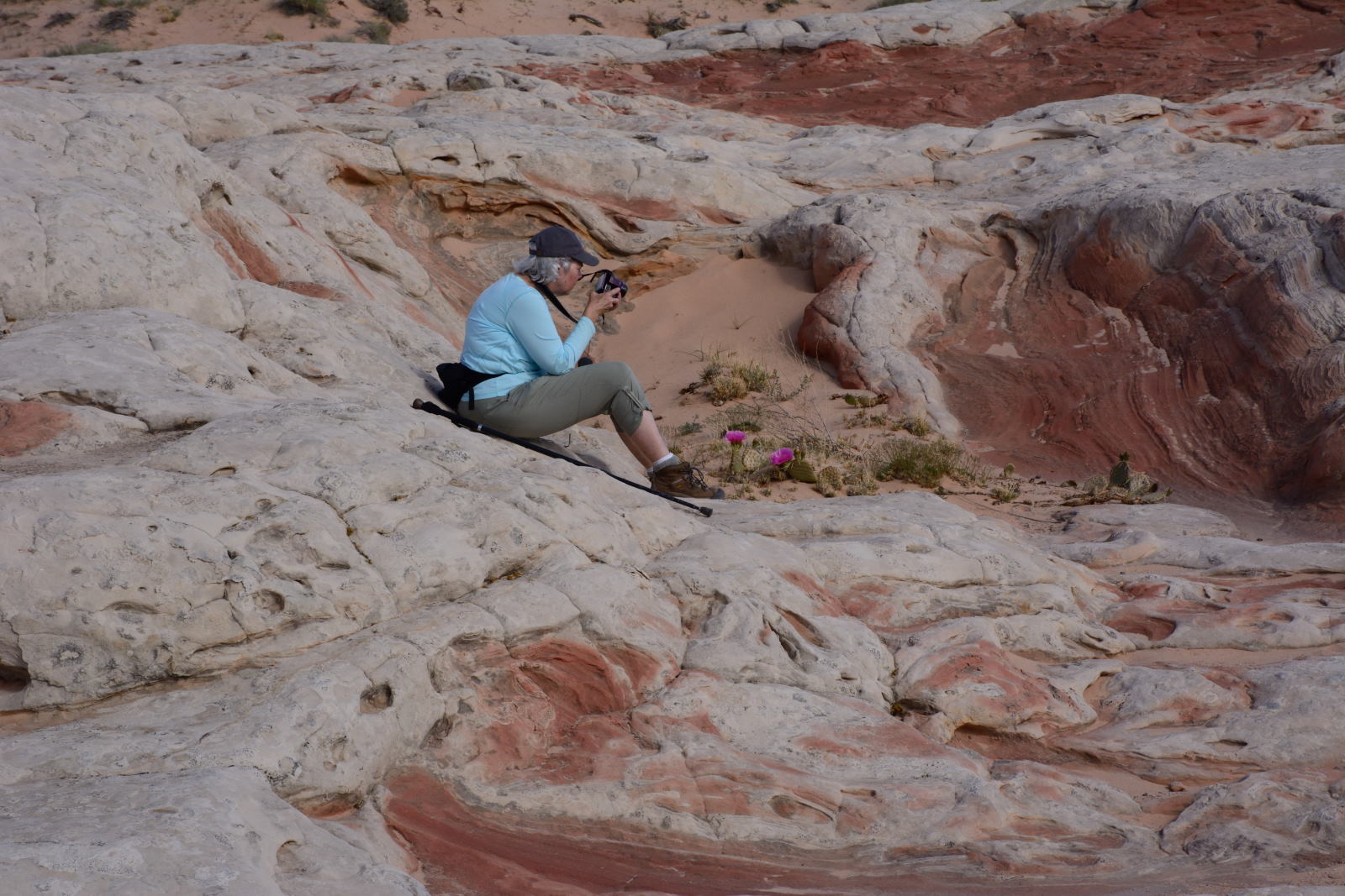
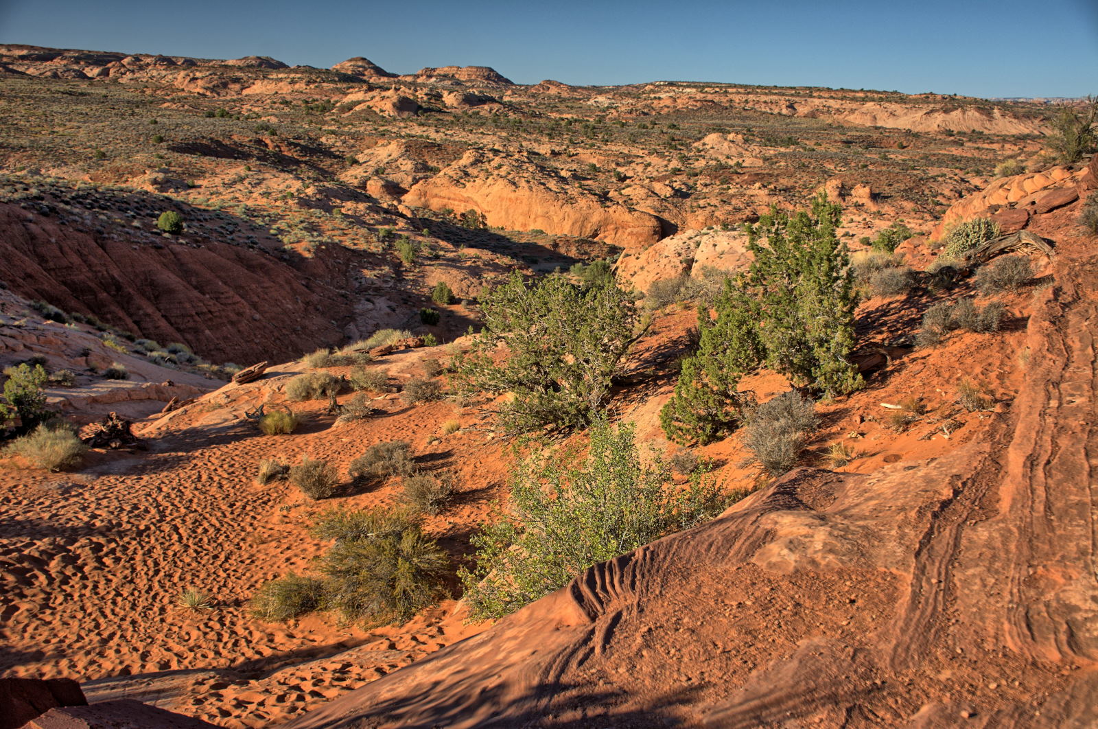
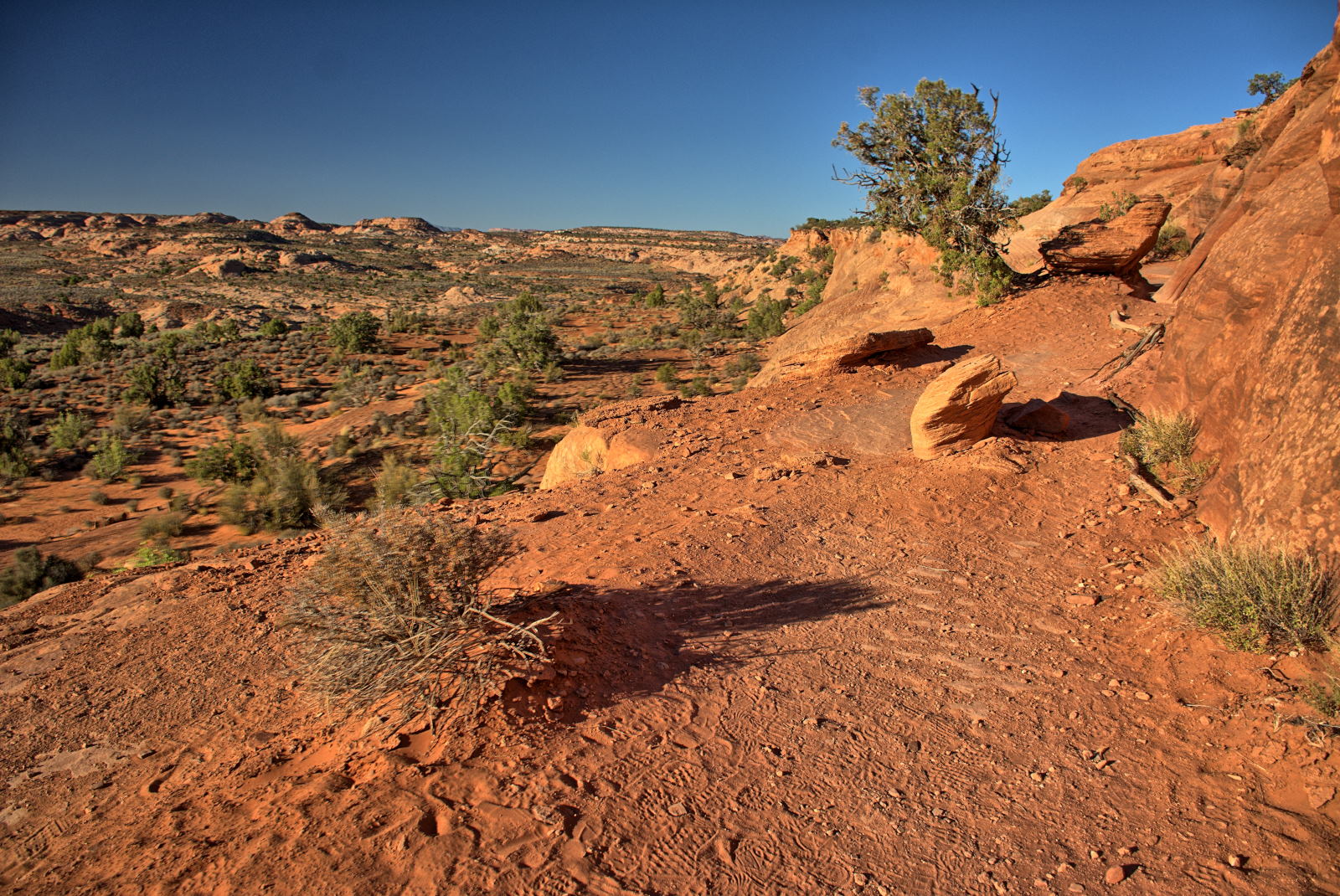
Chris started shooting high dynamic range (HDR) photos at Arches. HDR
images are composed of several photos of the same subject shot with different exposures,
and then blended together by HDR software in post-processing. The human
eye automatically adjusts to different light levels within the same view, but a
camera can only shoot at one exposure per image, so some sections are either
overexposed/washed out or underexposed/hidden in shadow. Chris shot five photos per HDR
blended image, with the middle image at the center exposure, two images above
the center exposure at +1
and +2 stops, and two below the center exposure at -1 and -2 stops. This
allows most areas in a frame to get properly exposed in at least one of the 5
images. The HDR software then figures out which sections to use from each
image and joins them into a single image. He ended up taking
almost
1000 HDR photos, meaning 5000 photos to make 1000 blended images. Many of
the photos from this point onwards are HDR images.
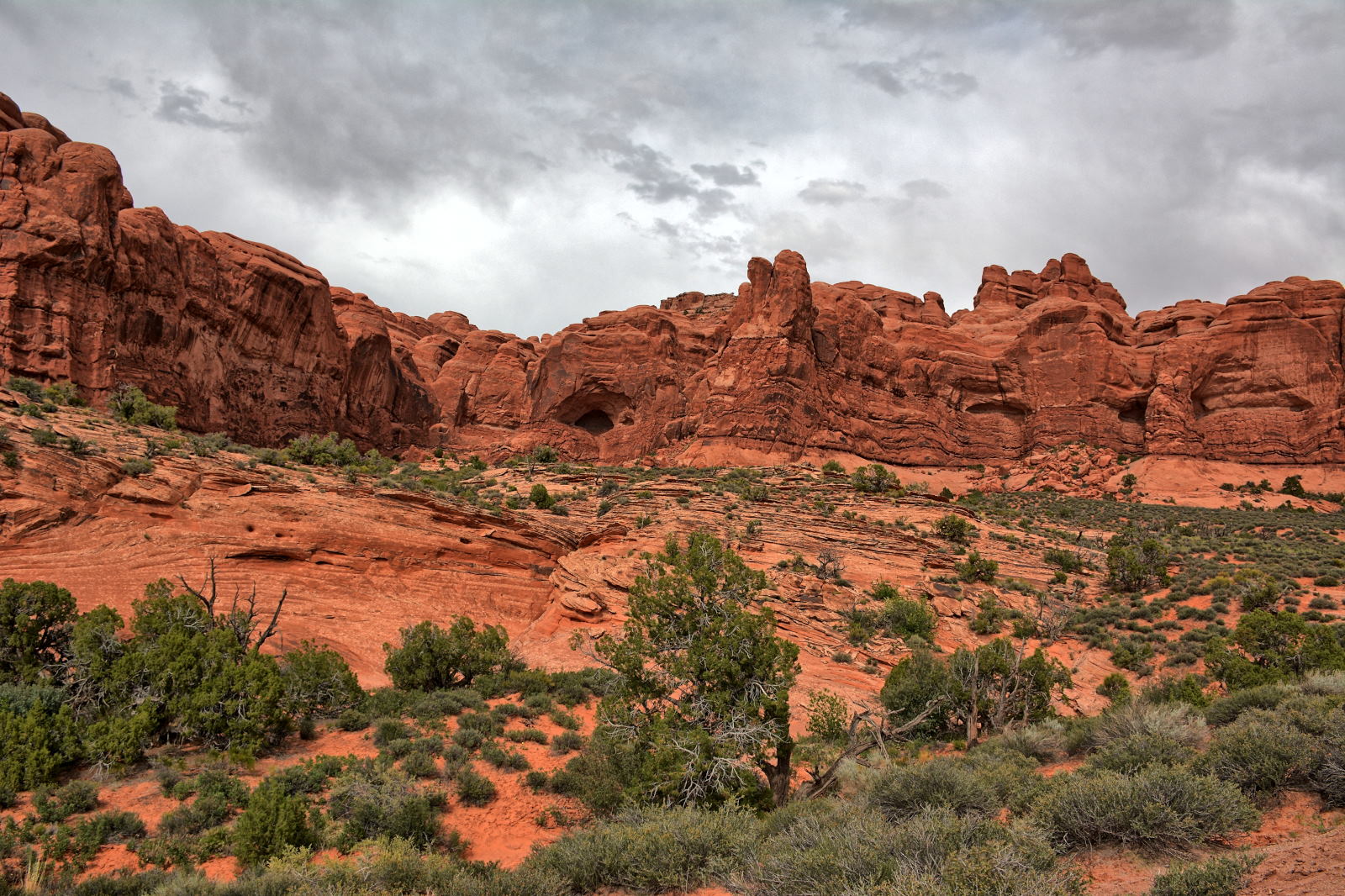
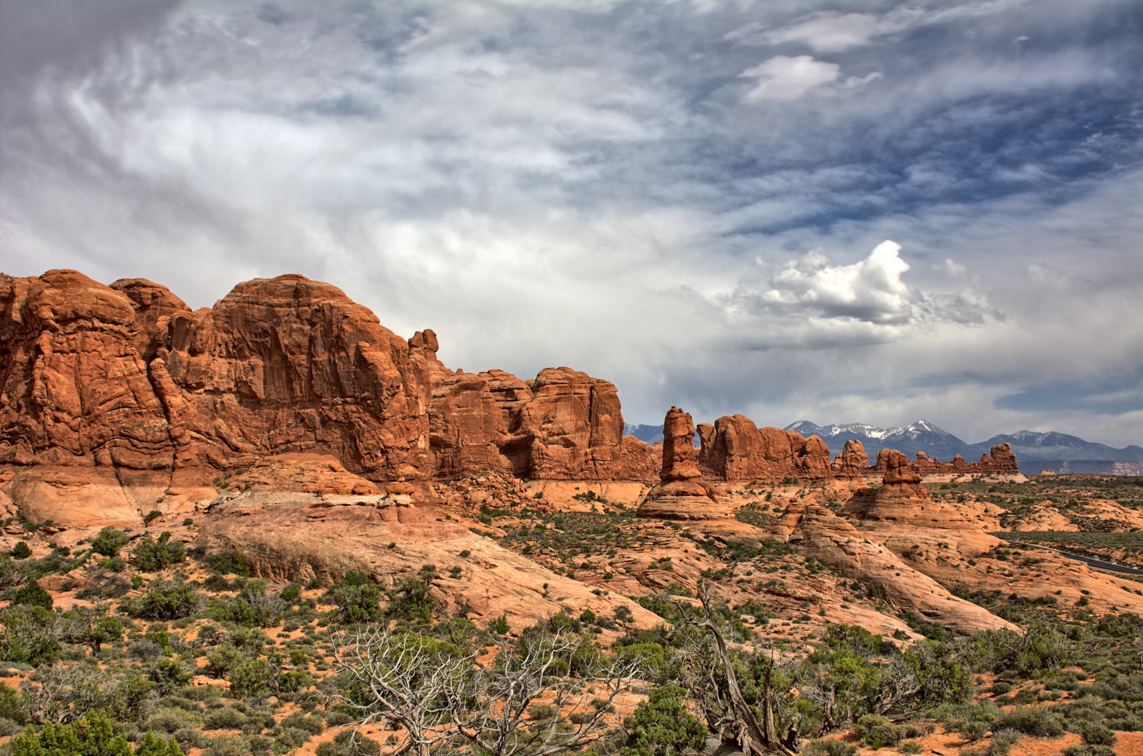
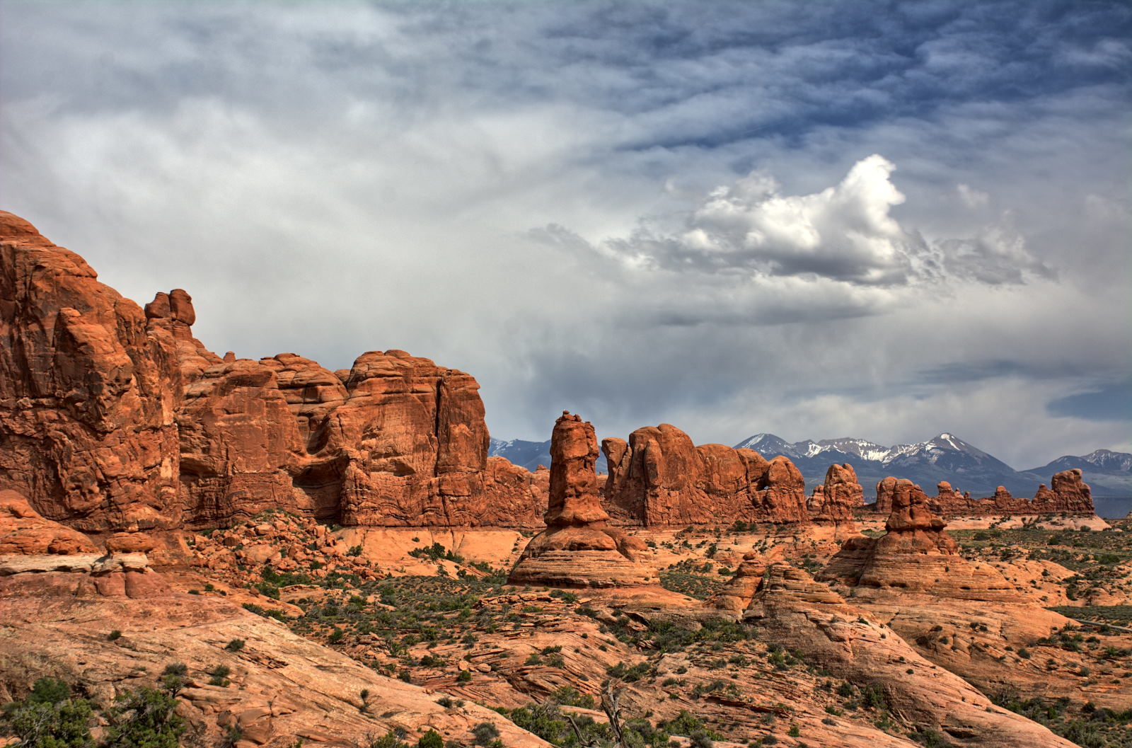
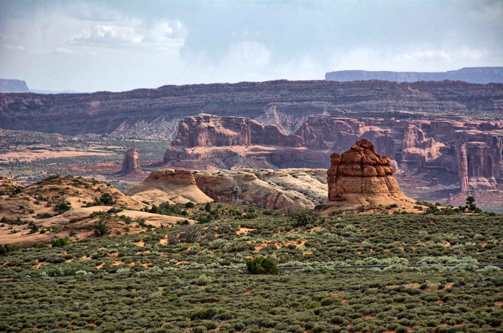
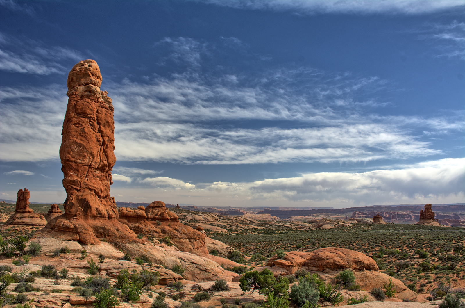
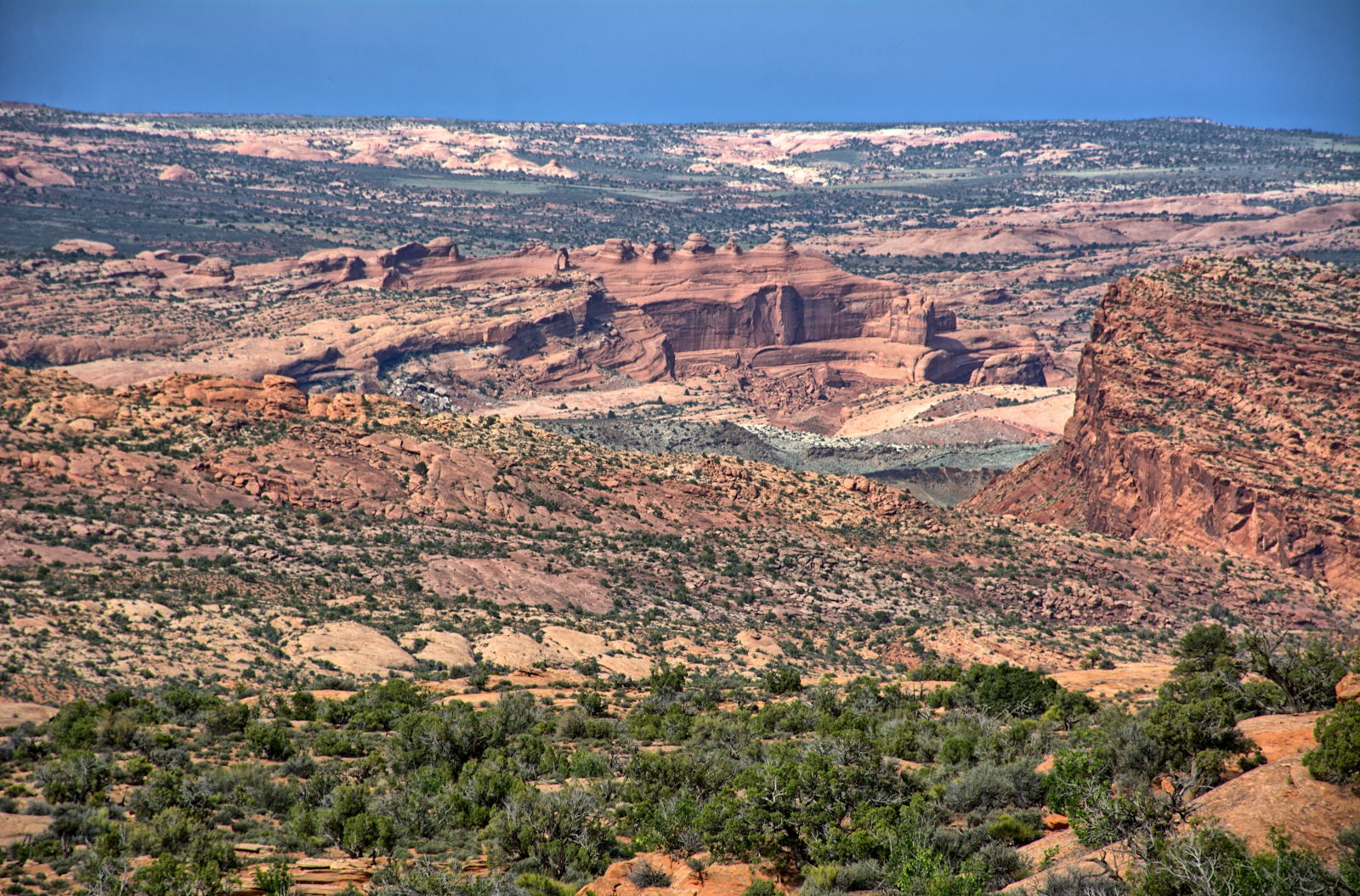
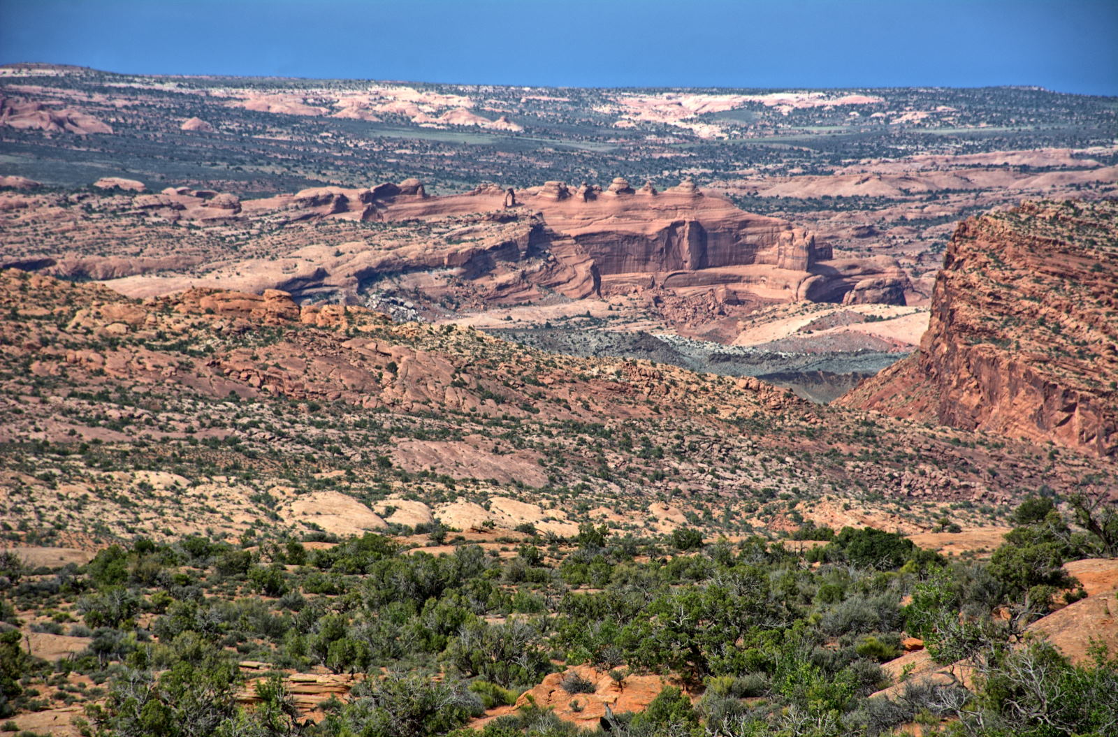
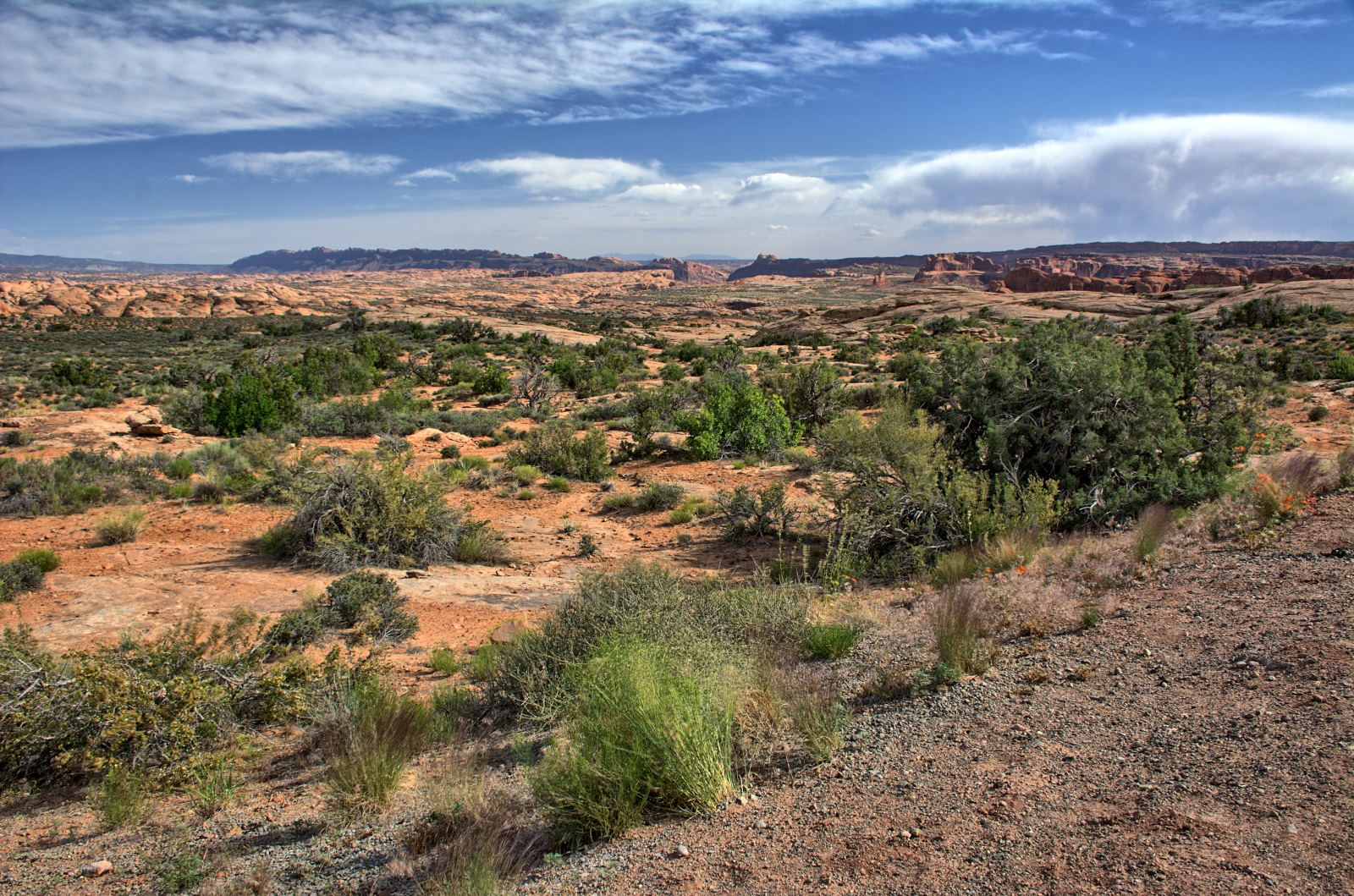
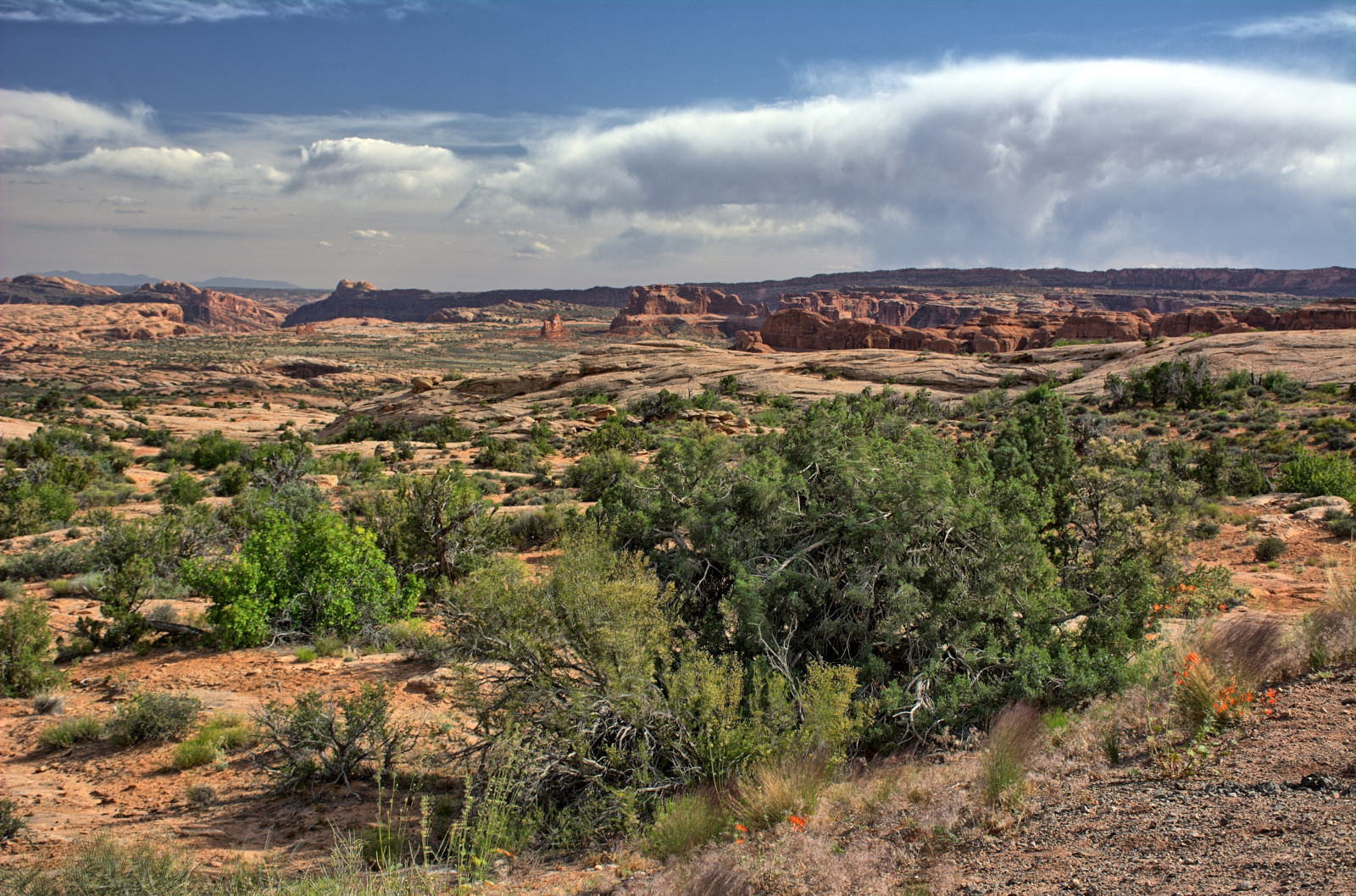
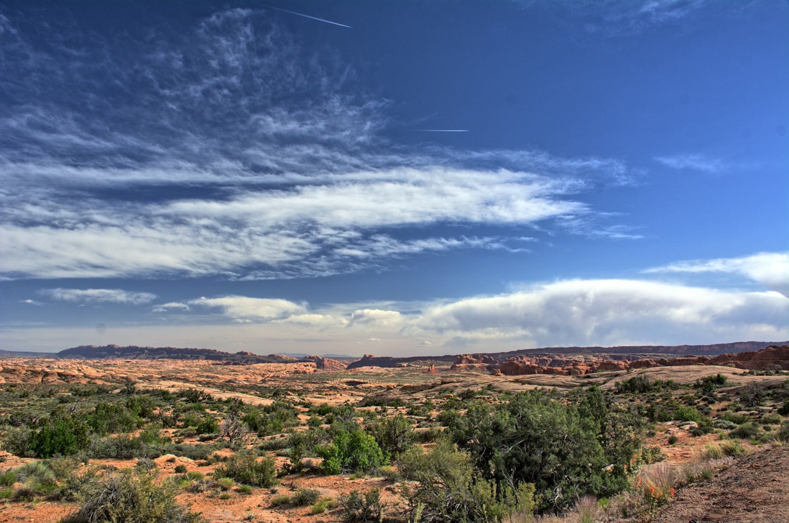
Arches National Park - Landscape Arch, Delicate Arch, Windows, Park Avenue
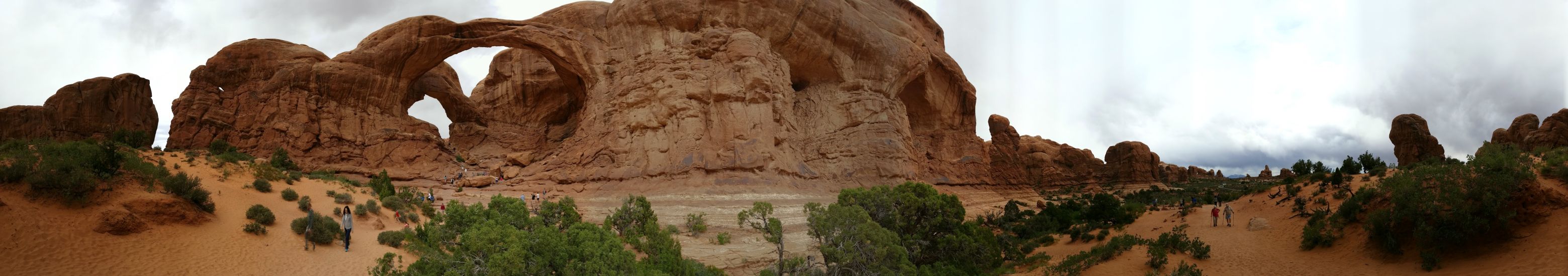
Arches National Park, Windows - Double Arch
21 May 2018, Monday
Chris and Nathan started the day with a hike to Corona Arch, but
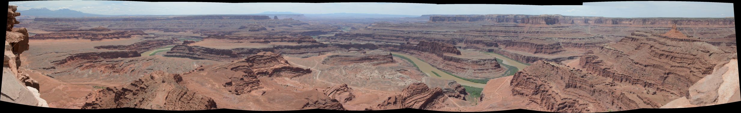
turned around in the heat and the very busy trail. They instead headed directly to Dead Horse
Point State Park.
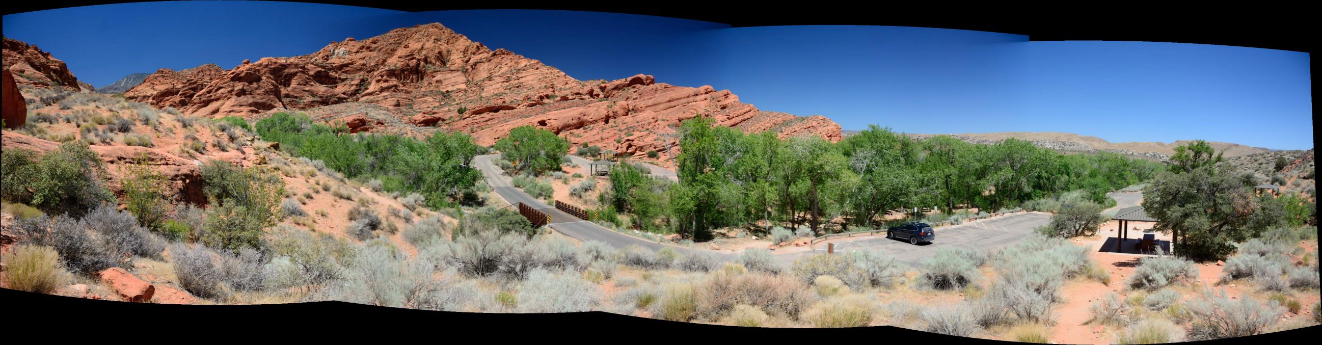
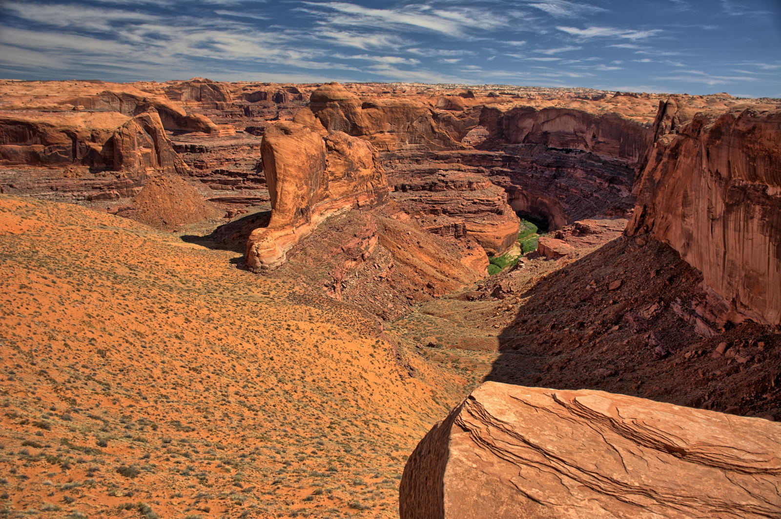
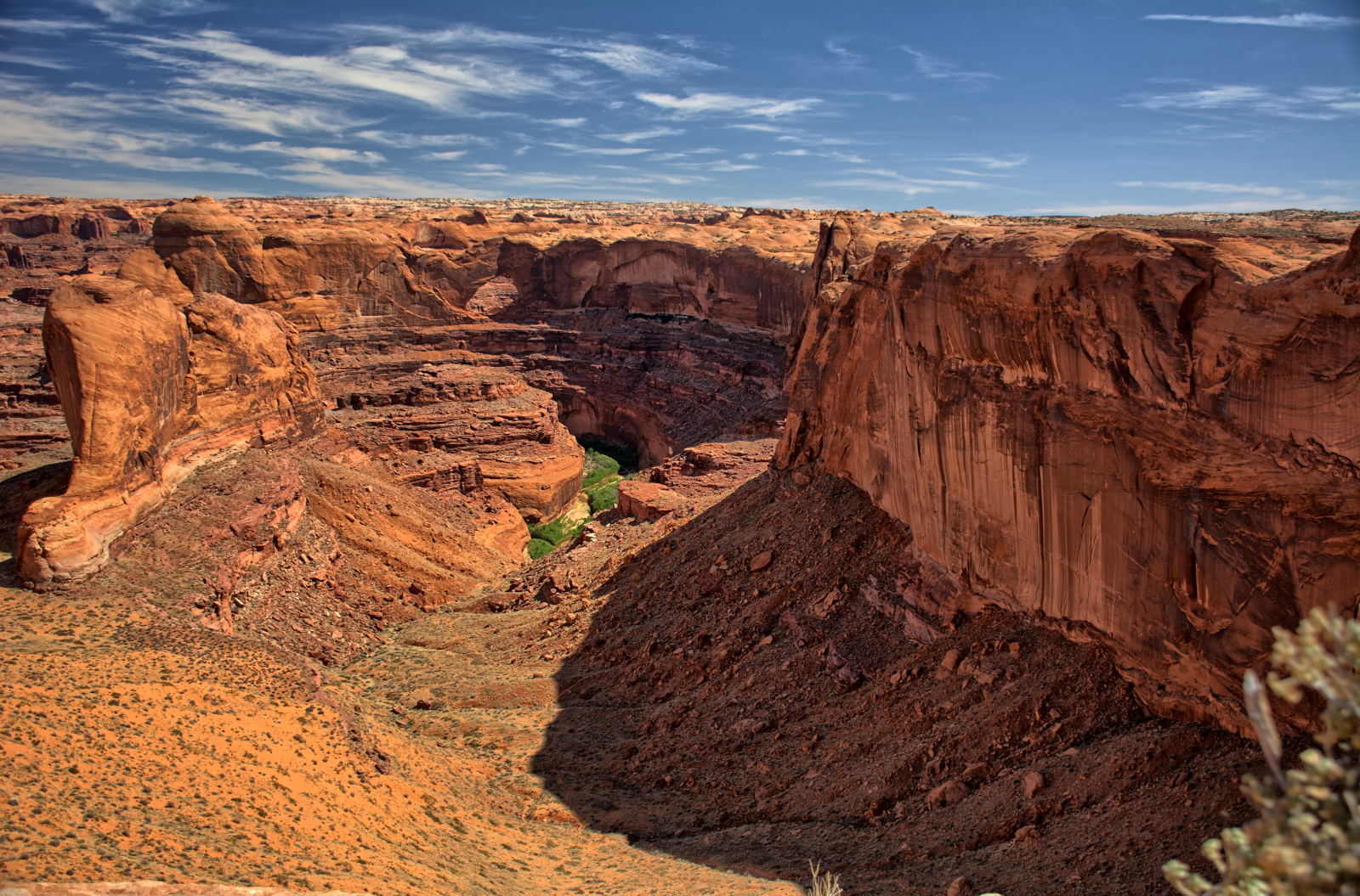
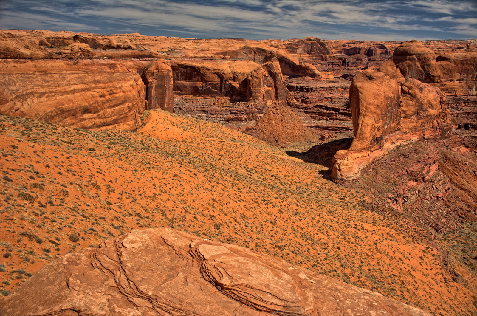
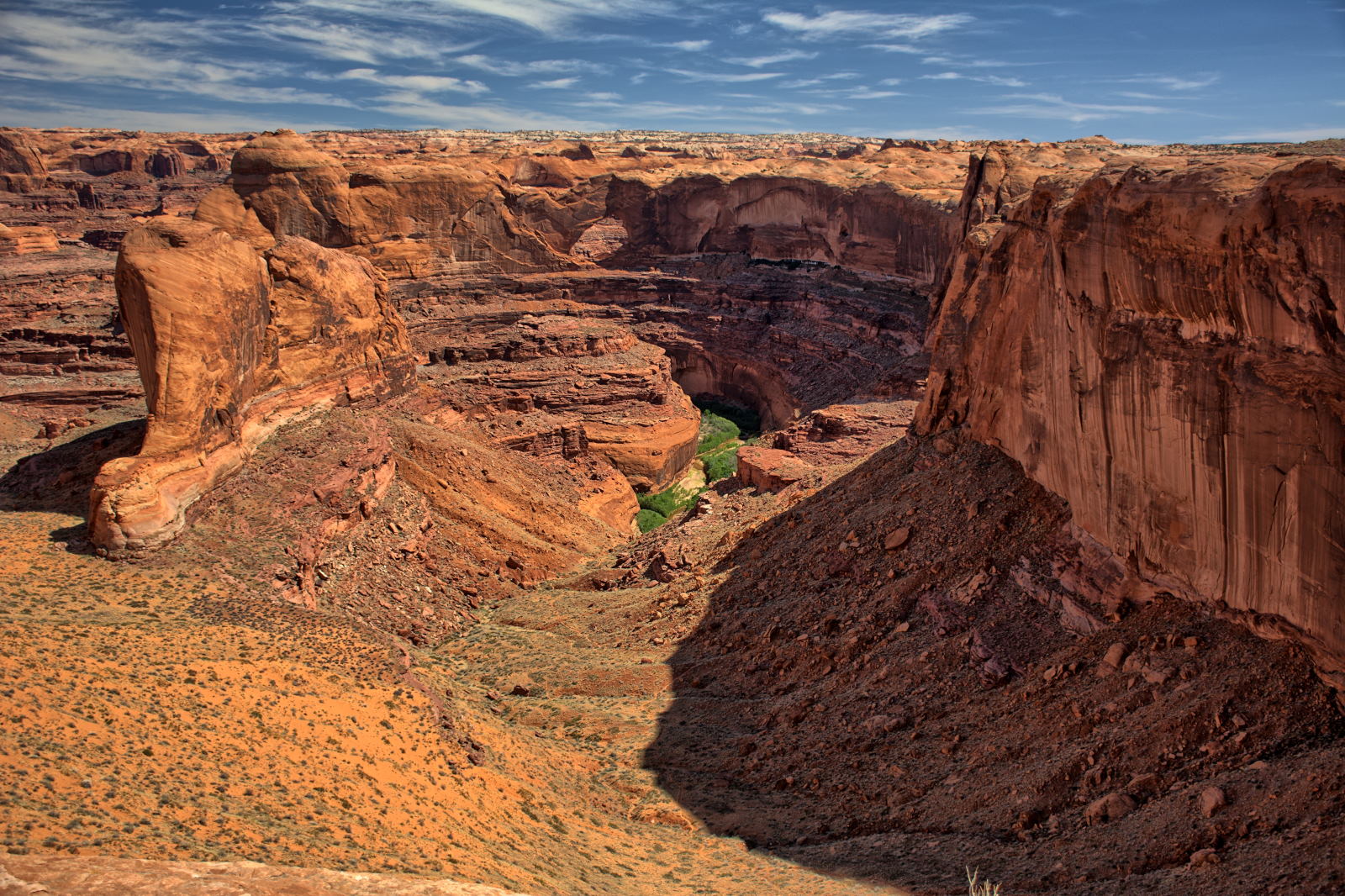
Dead Horse Point Panorama
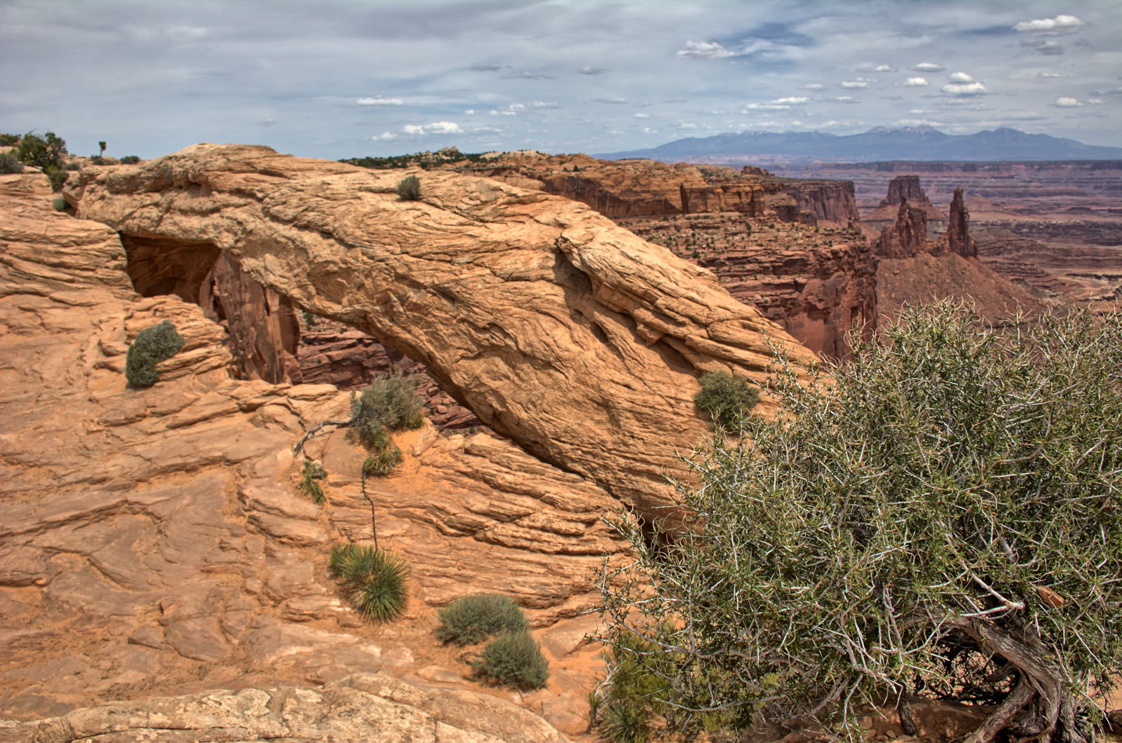
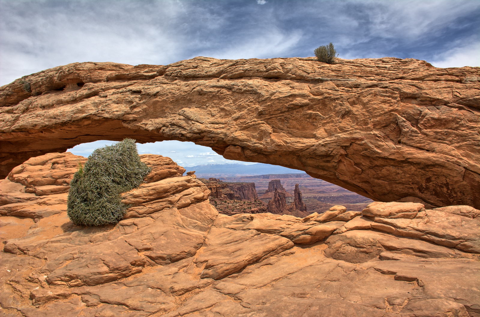
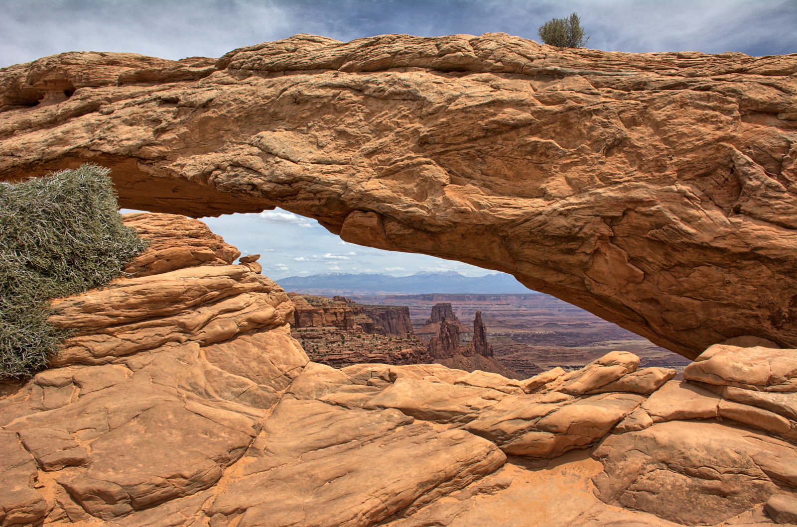
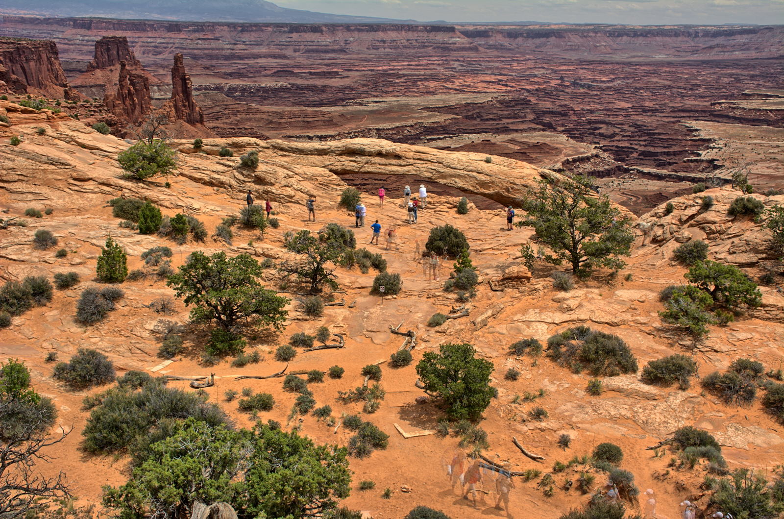
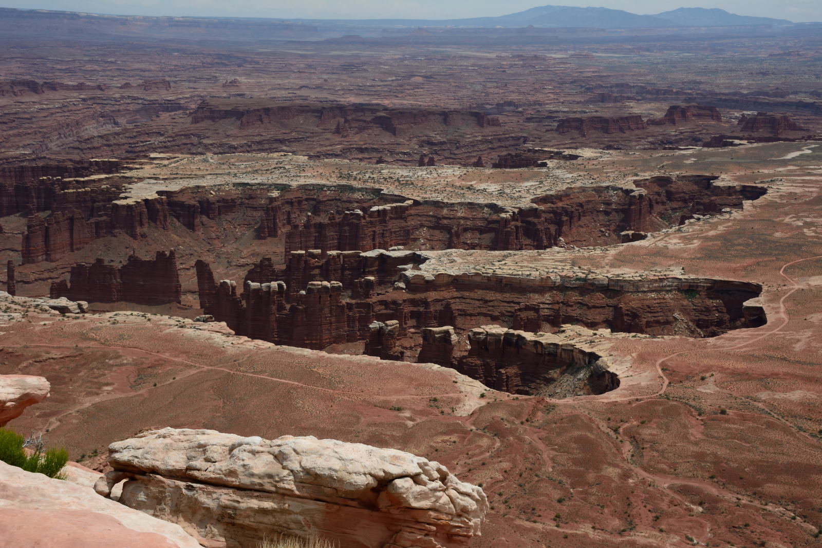
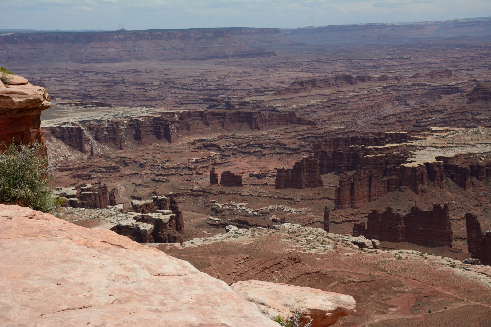
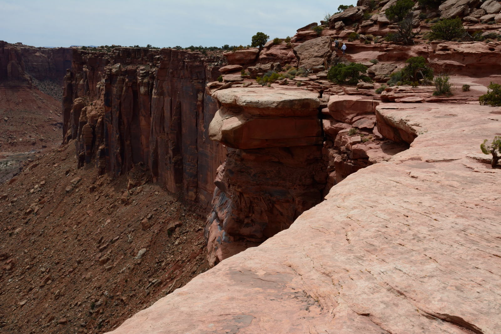
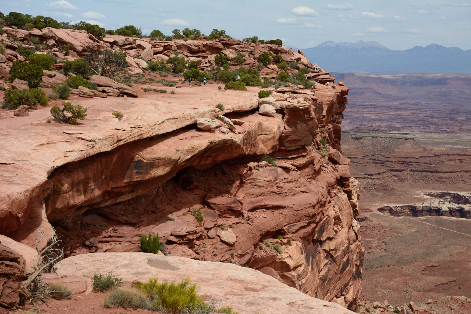
Canyonlands National Park, Islands In The Sky section was next. They
stopped at Mesa Arch and joined the crowds on the short trail before continuing
on to Grandview Point. Nathan twisted his ankle badly while hiking out to Grandview Point,
so they turned around and headed back to Moab. A visit to the
hospital confirmed it was just a badly twisted ankle, not broken.
Canyonlands National Park, Mesa Arch & Grandview Point
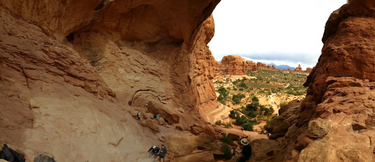
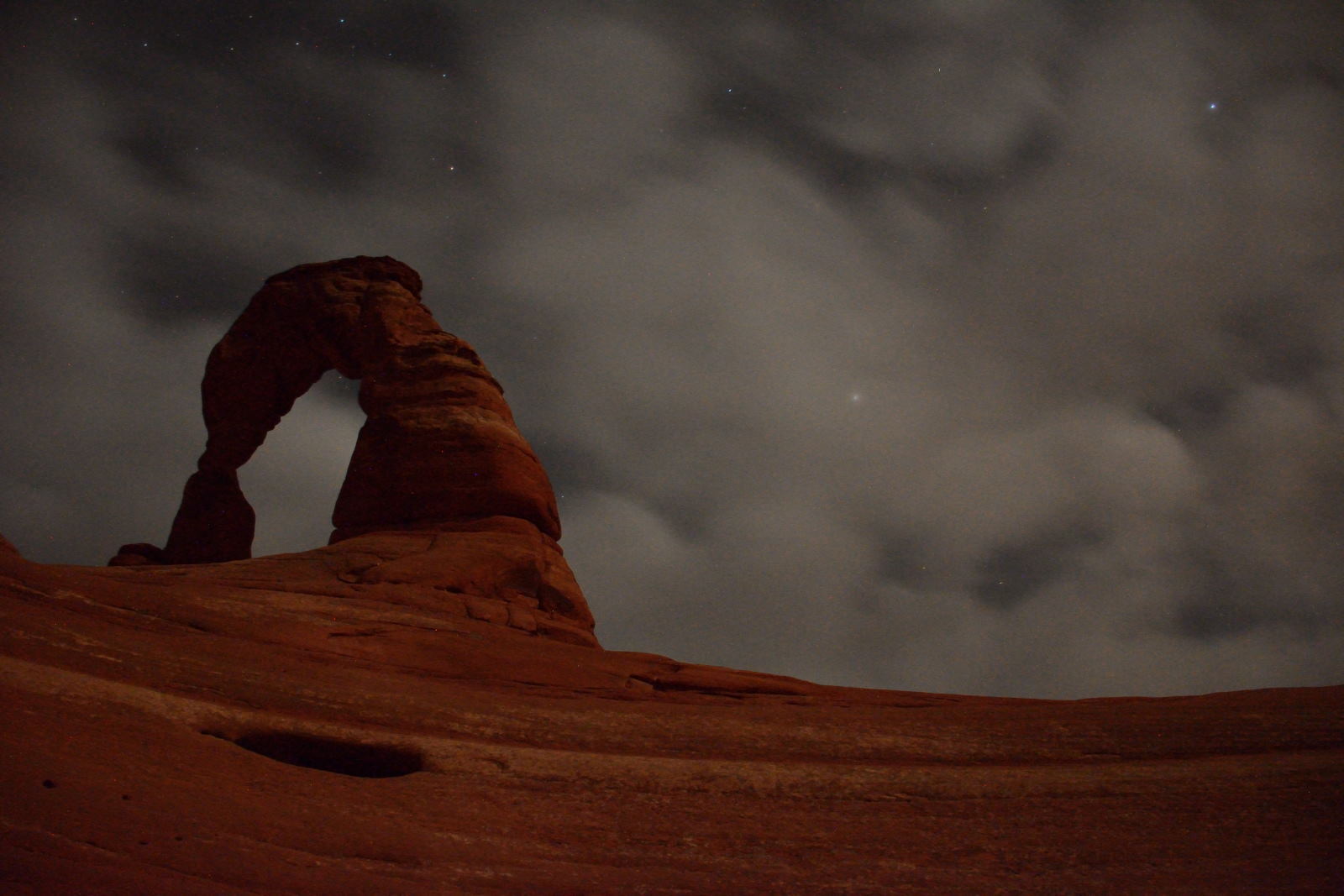
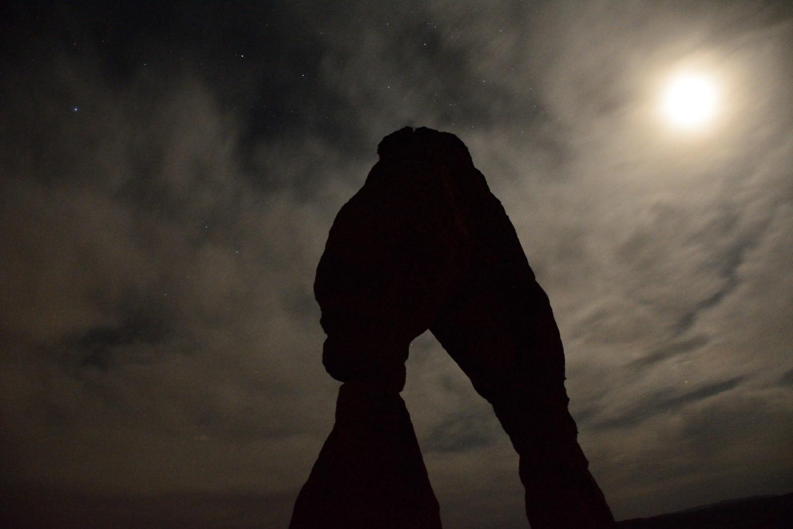
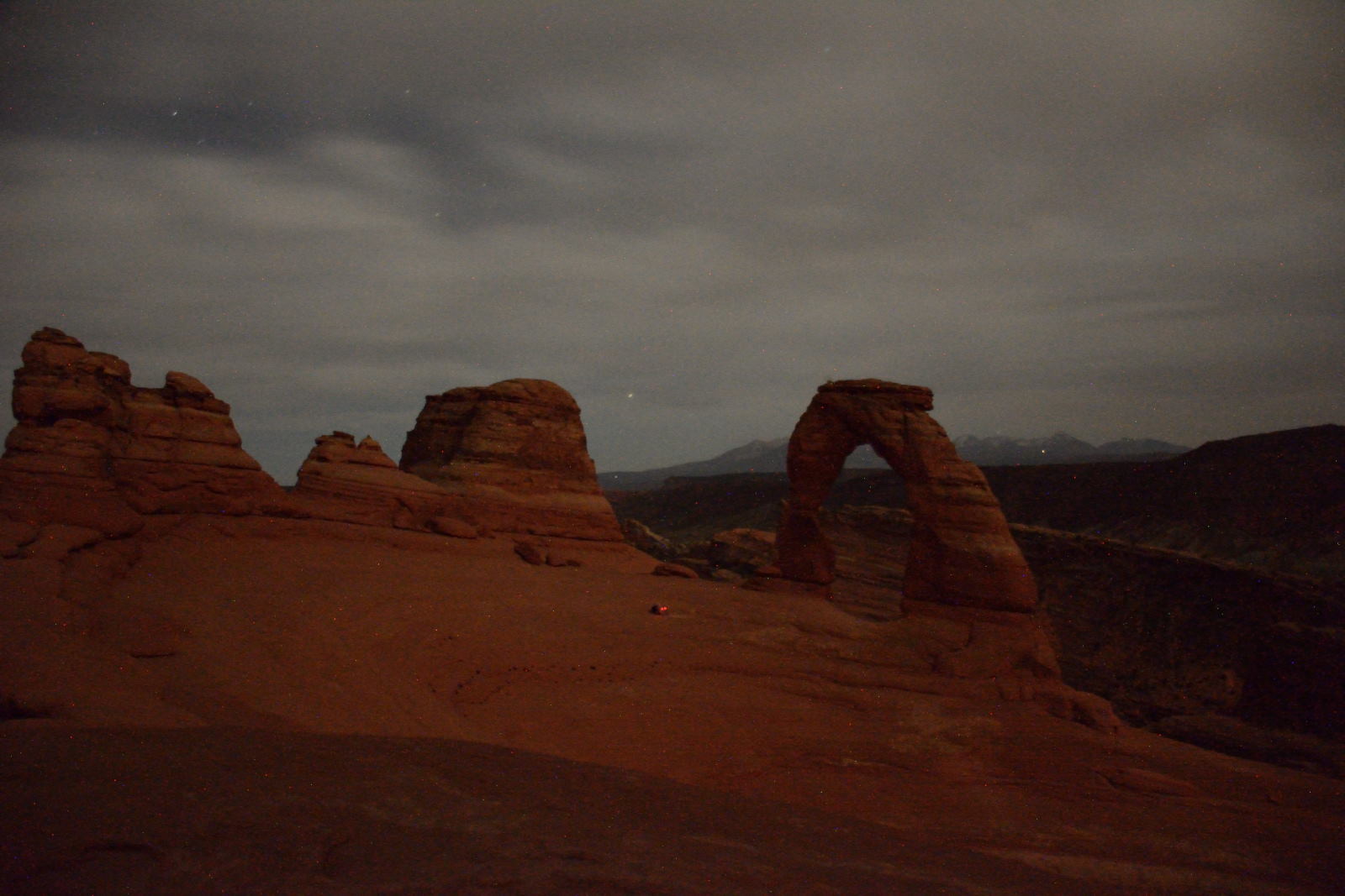
After dinner,
Chris drove back out to Arches National Park, and hiked up to Delicate Arch for night photos. It was bad weather
conditions, cloudy and windy, so they did not turn out as well as Chris had
hoped.
Delicate Arch at night
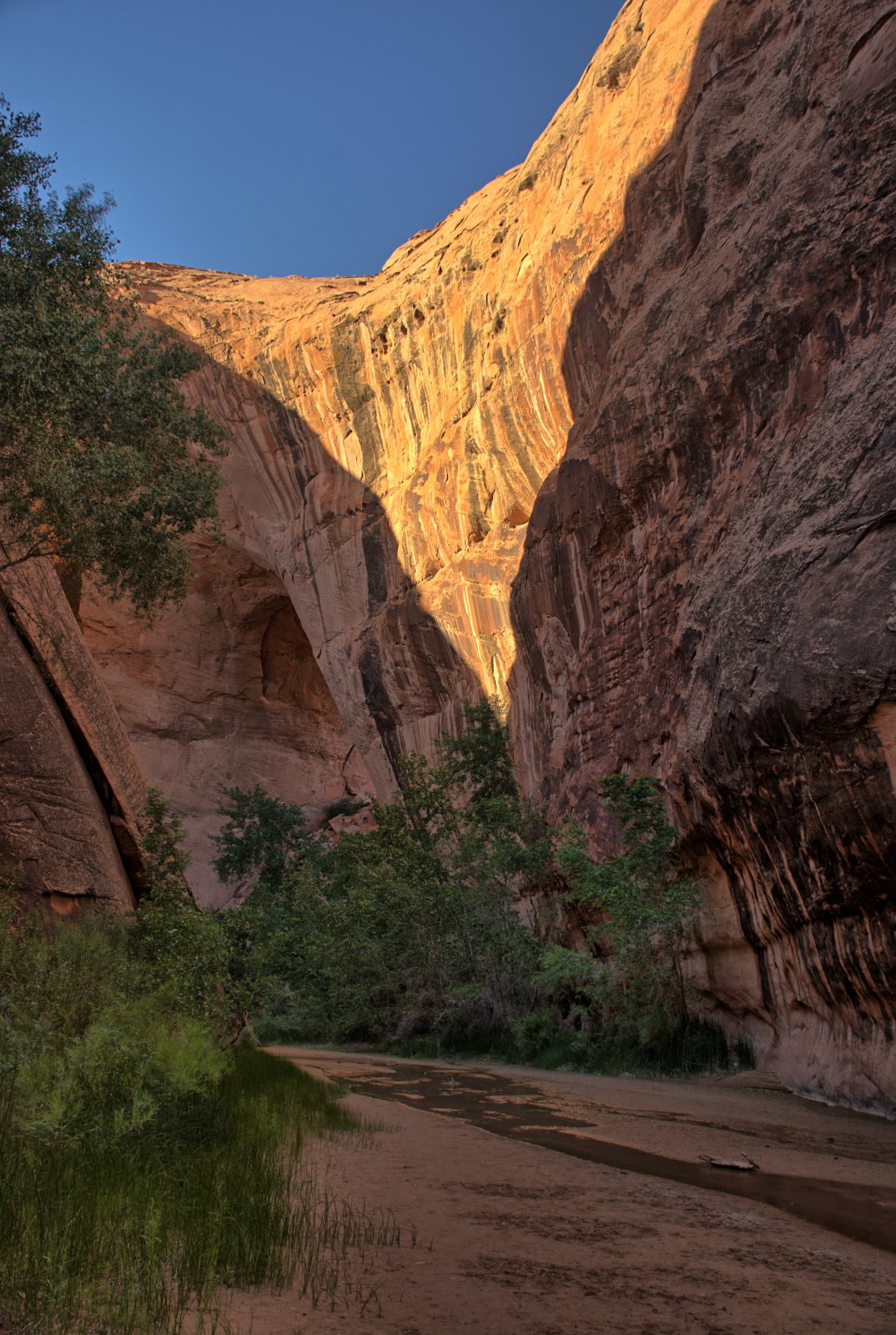
22 May 2018, Tuesday
Chris' sister Karen and her husband Doug were in southern Utah as well,
camping and visiting parks. They had just arrived at White House
Campground, abut 40 miles east of Kanab on this morning. Chris and Nathan
checked out of the hotel in Moab and headed towards Kanab, UT. They stopped
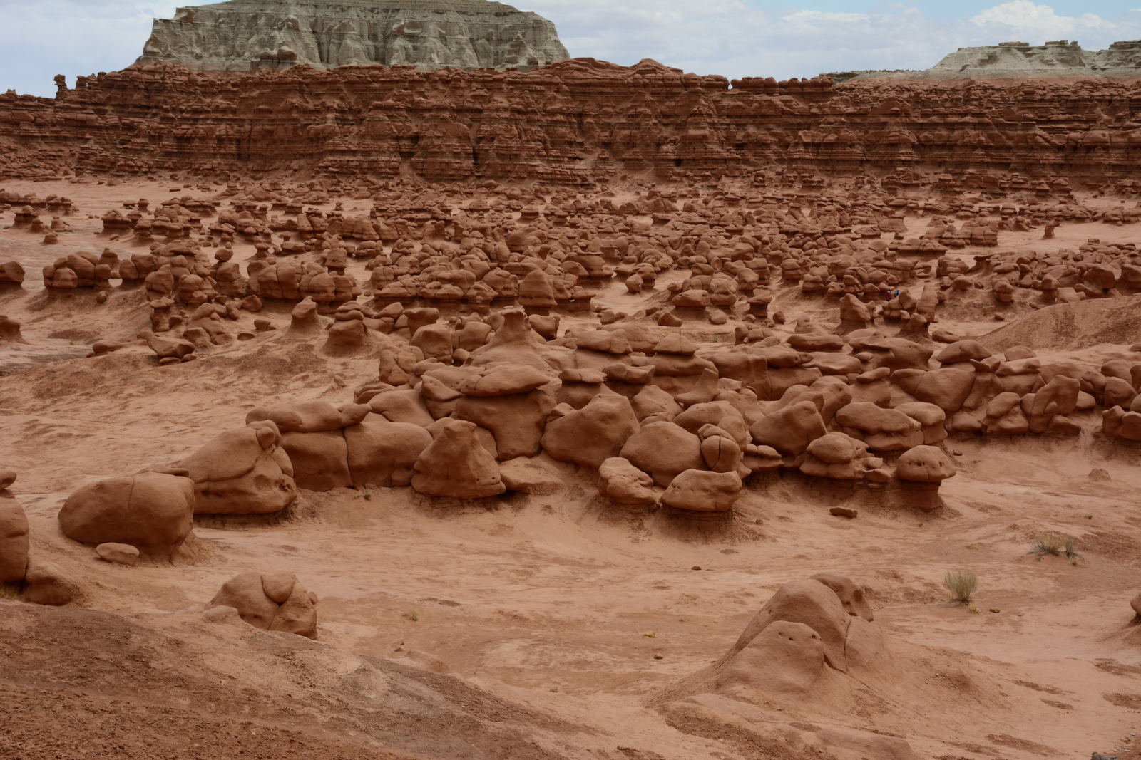
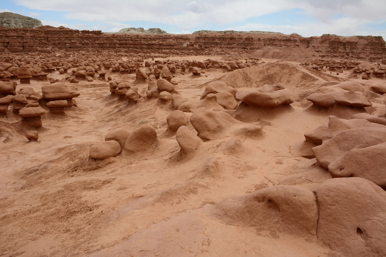
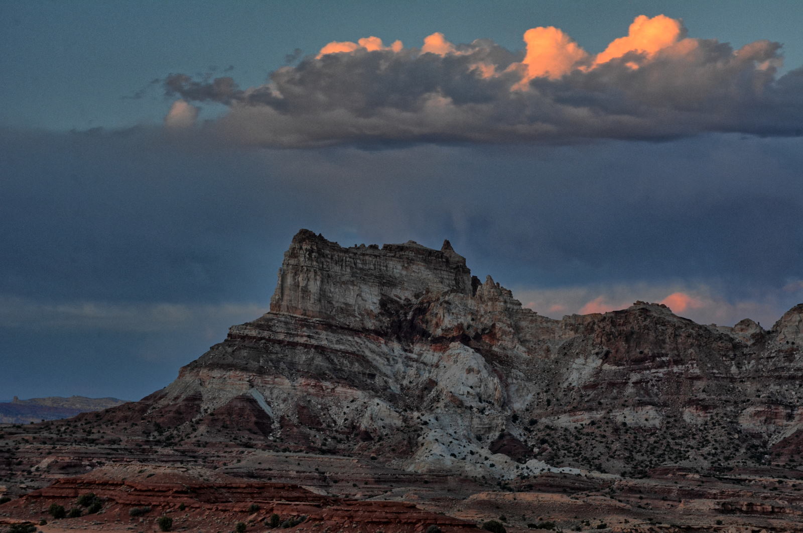
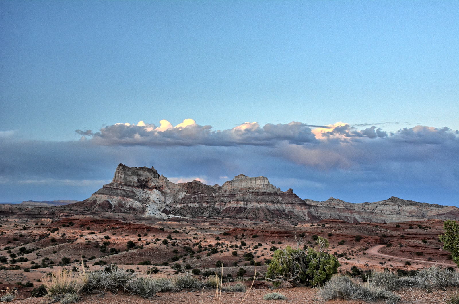
in Goblin Valley State Park, and drove through Capital Reef National Park and
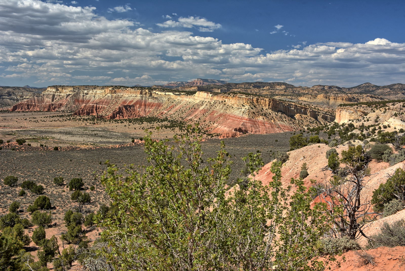
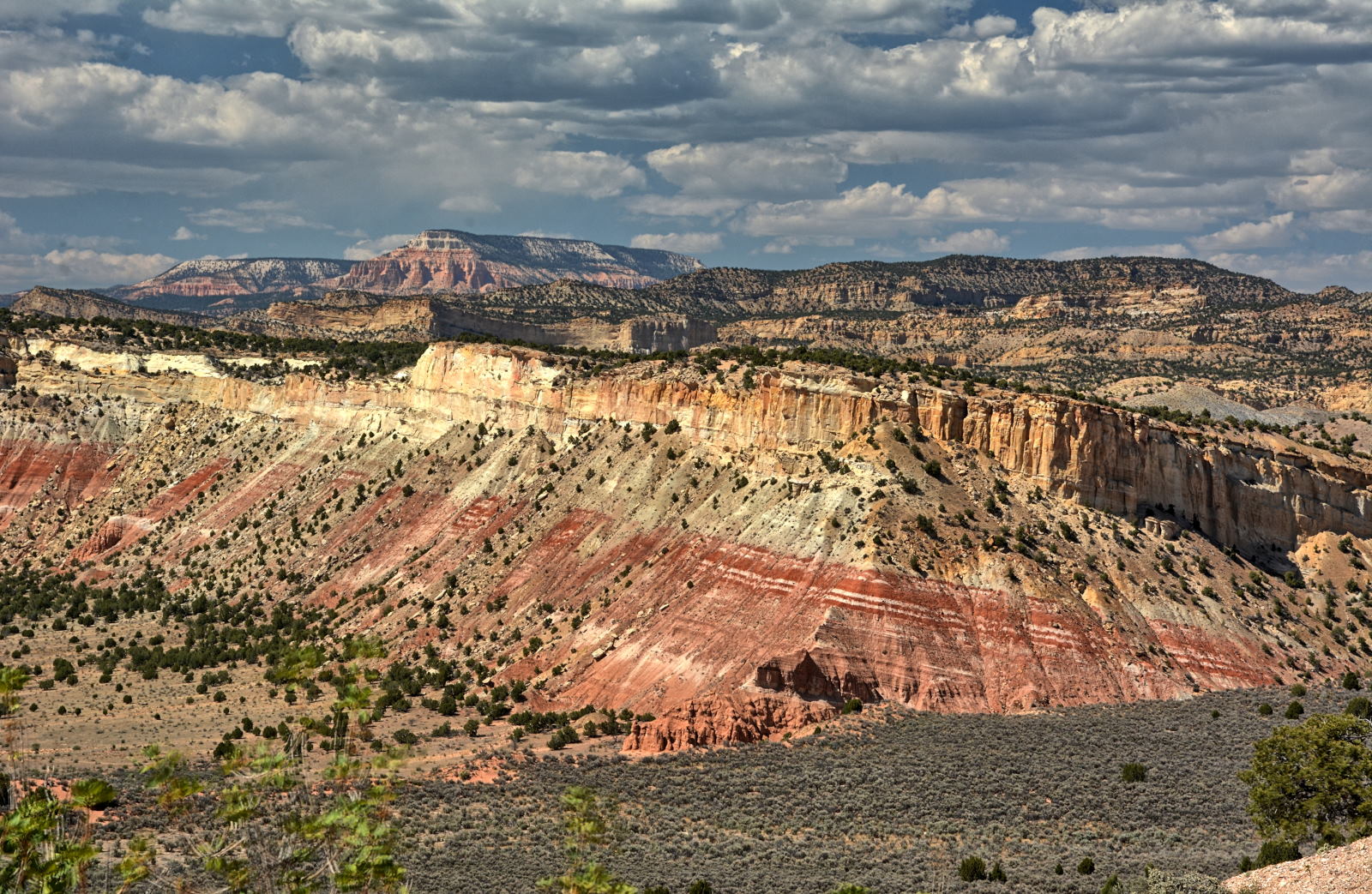
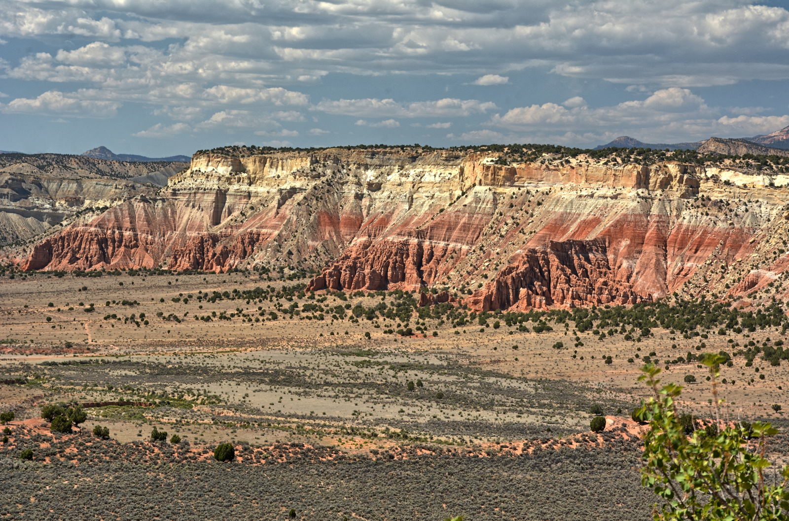
Grand Staircase - Escalante National Monument, before getting to Bryce Canyon
National Park at sunset. They continued on to Kanab and arrived at White House
Campground late. They camped with Karen and Doug for the next three days.
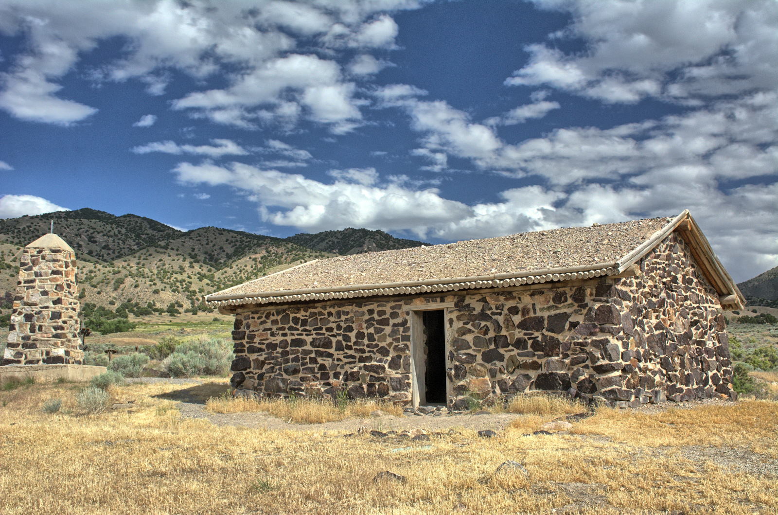
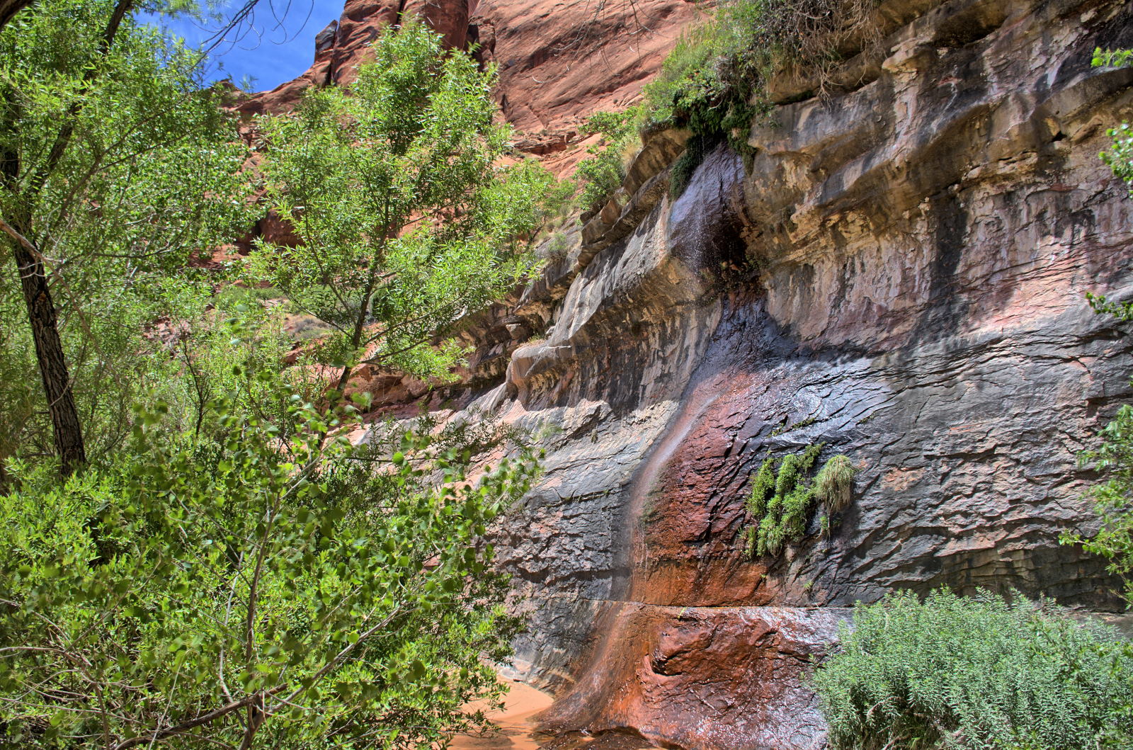
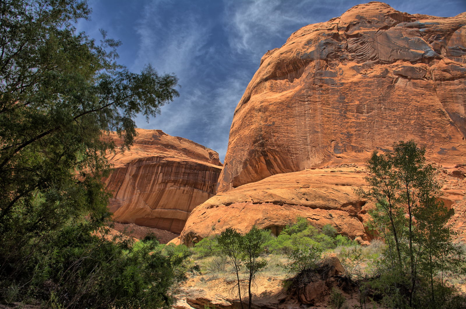
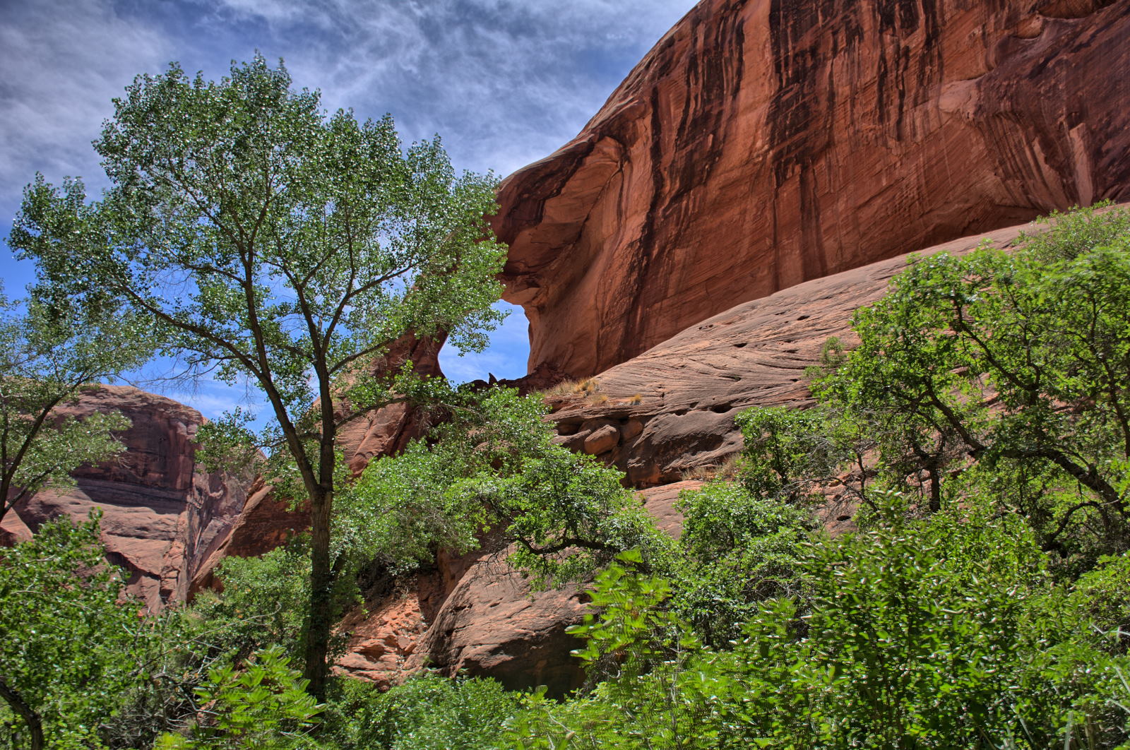
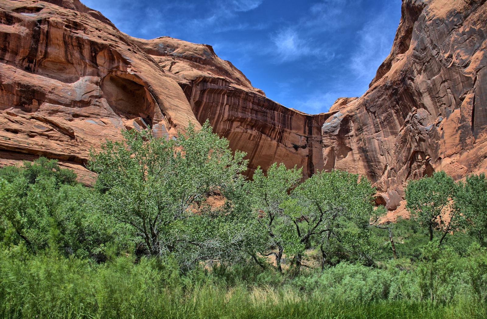
The White House Campground on the Paria River is here, and is a trailhead for hikes
down the Paria River to Lees Ferry, and for hikes into Buckskin Gulch.
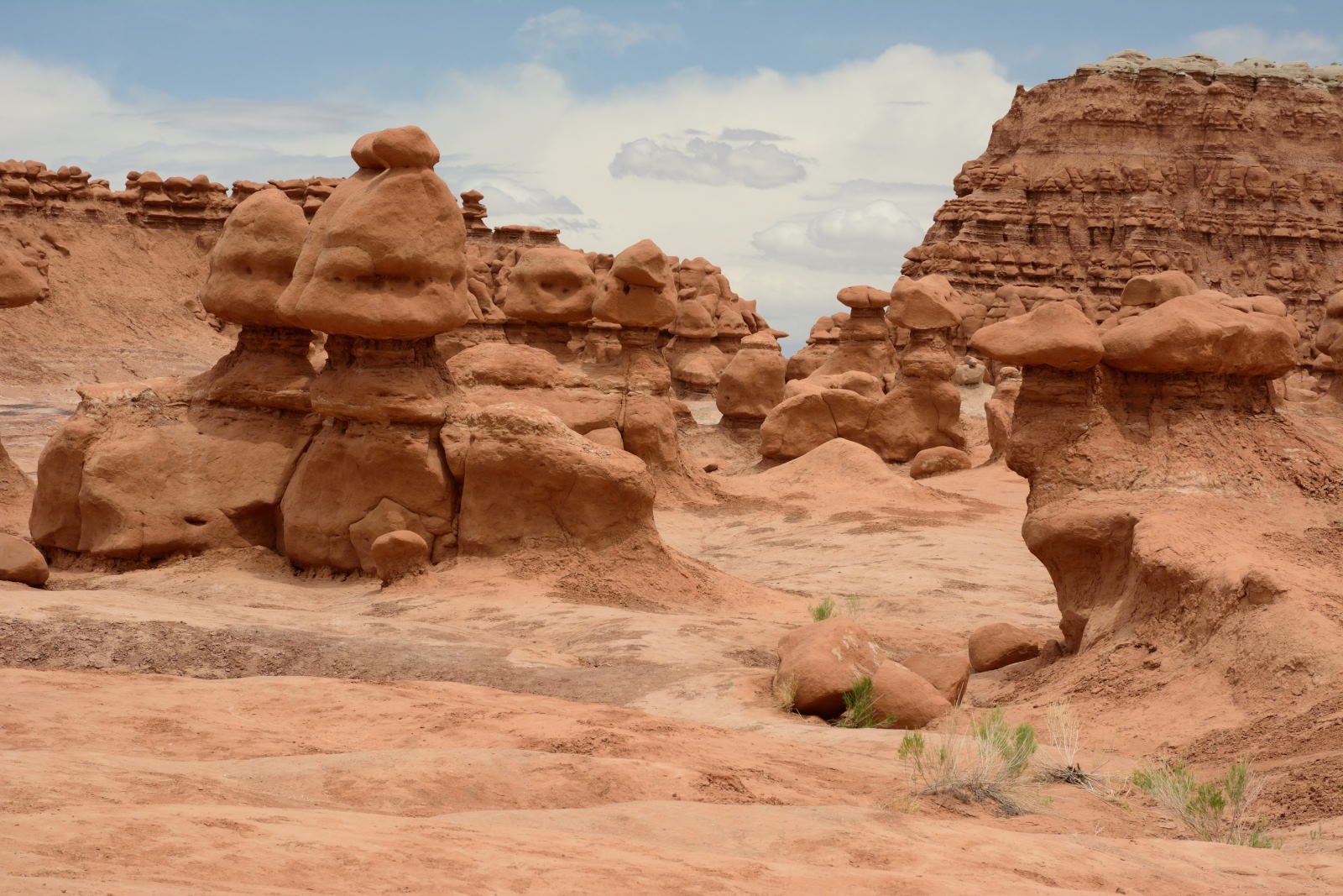
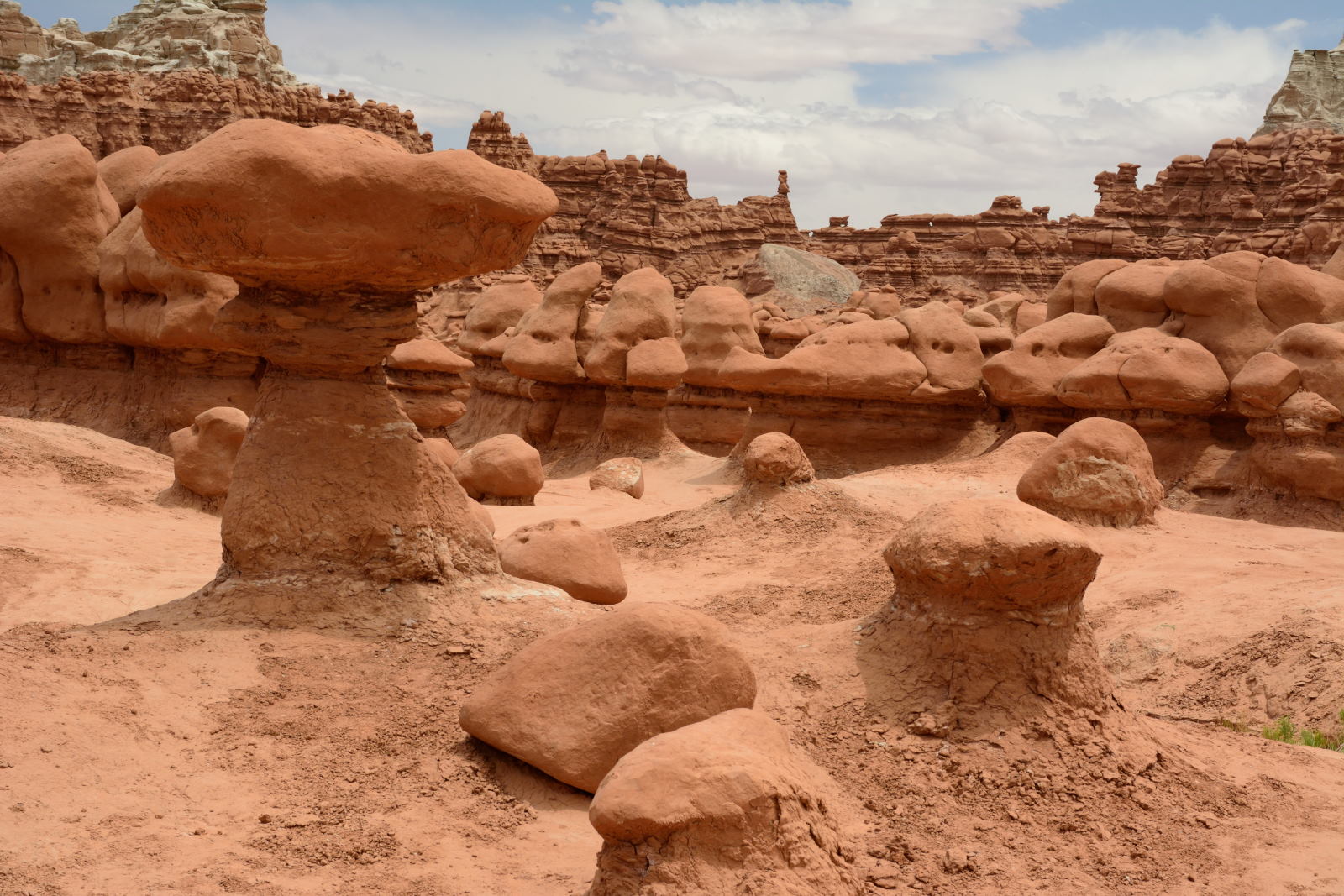
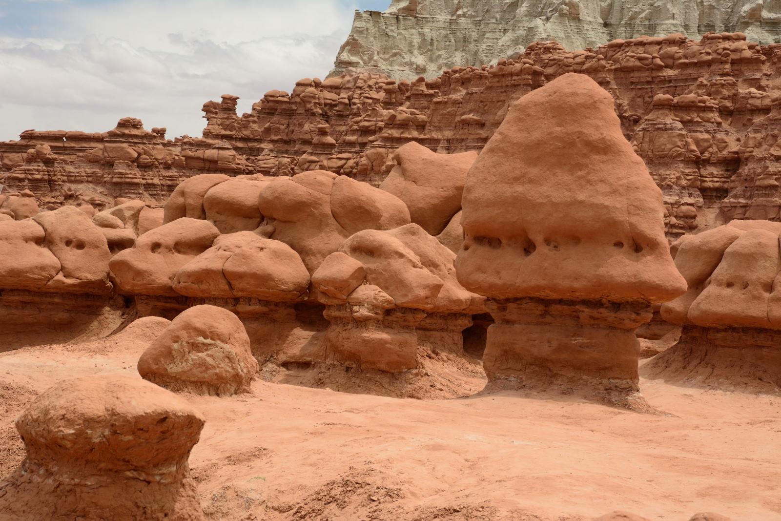
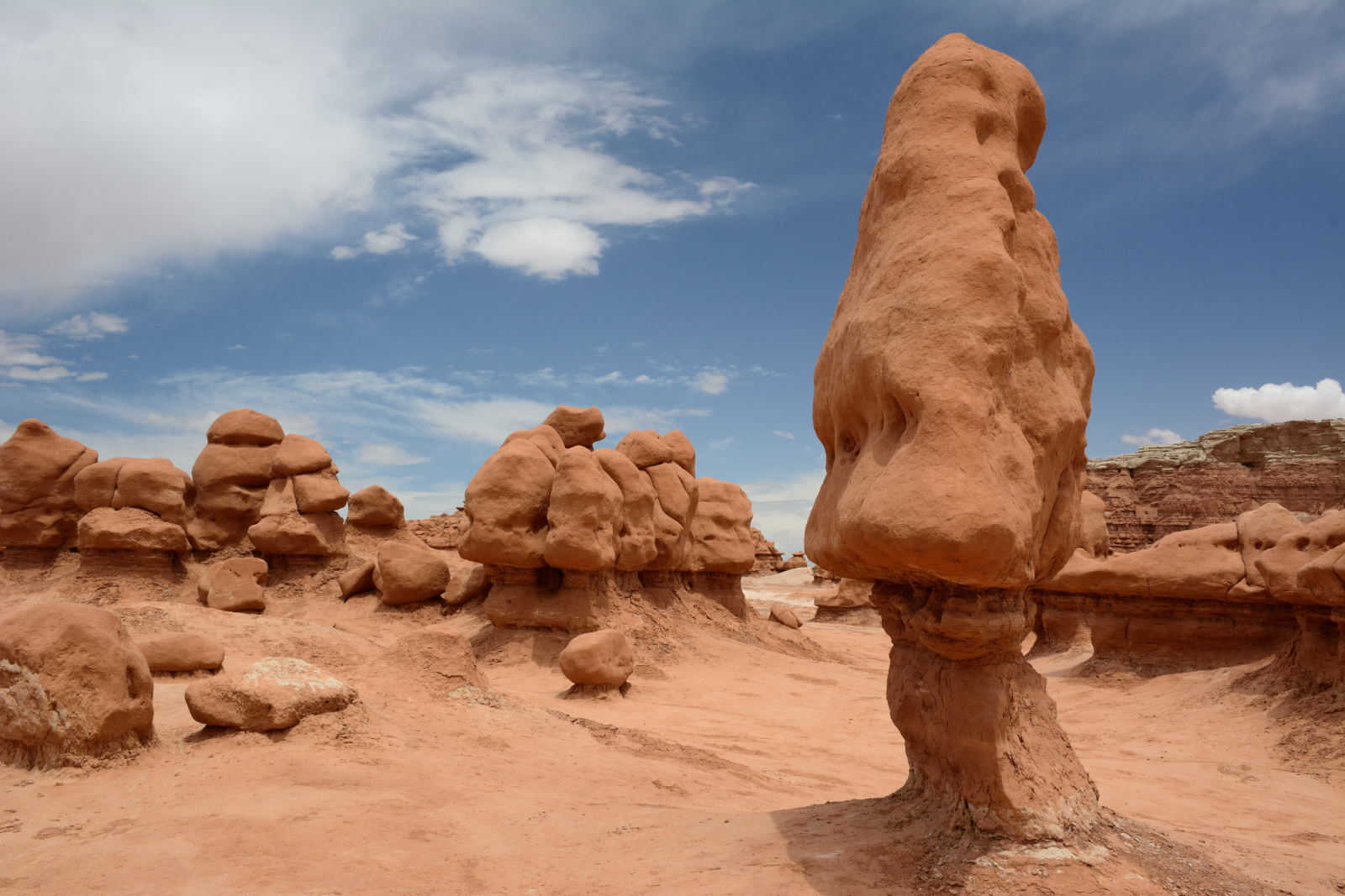
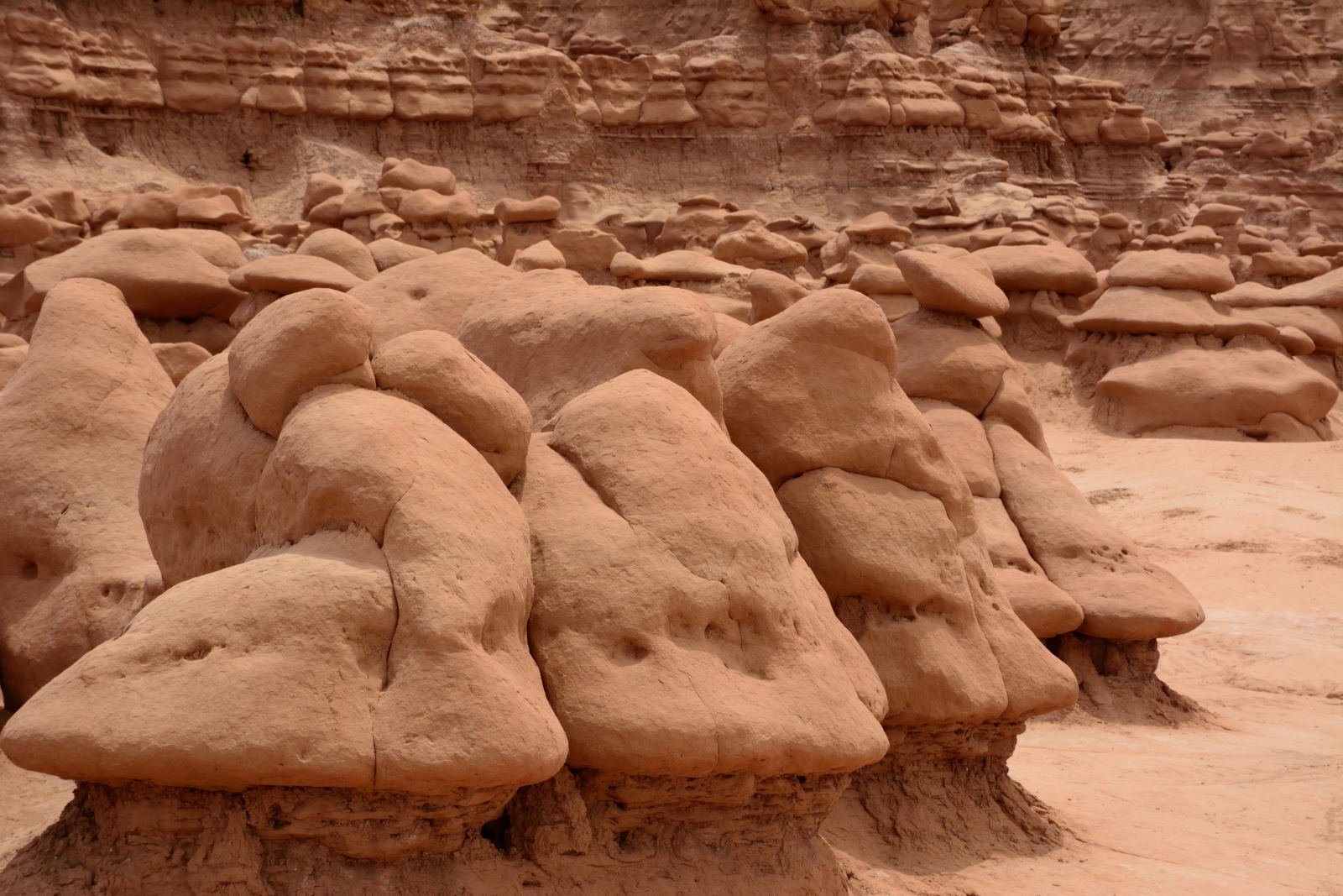
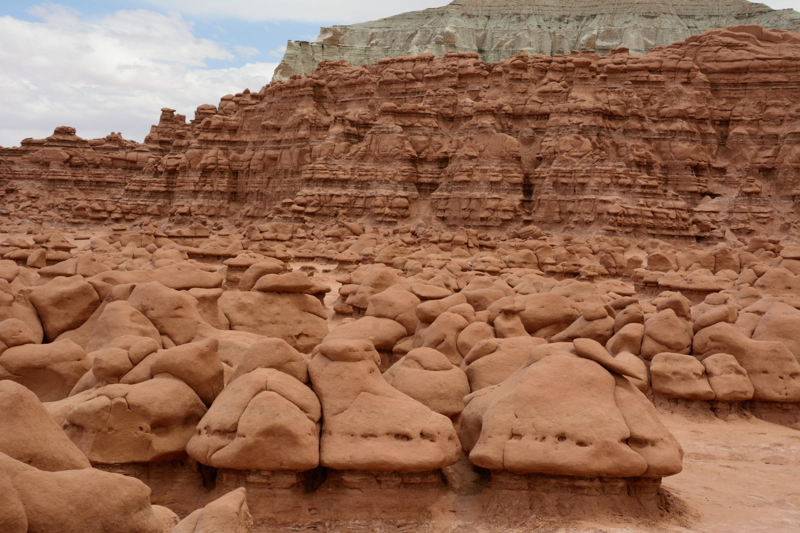
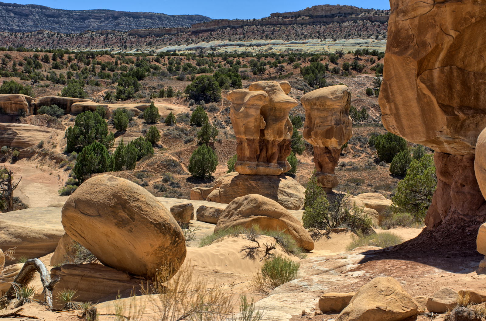
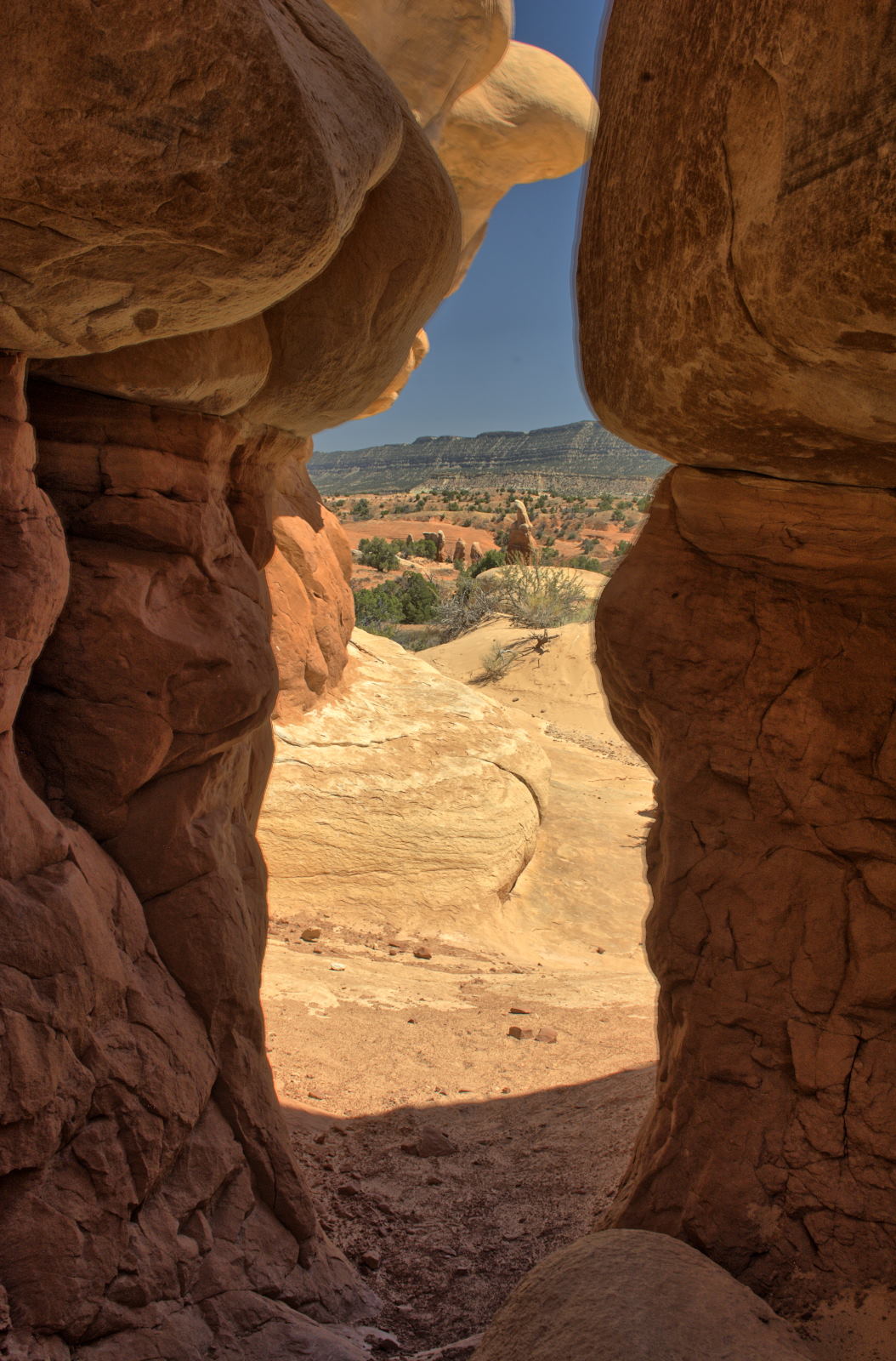
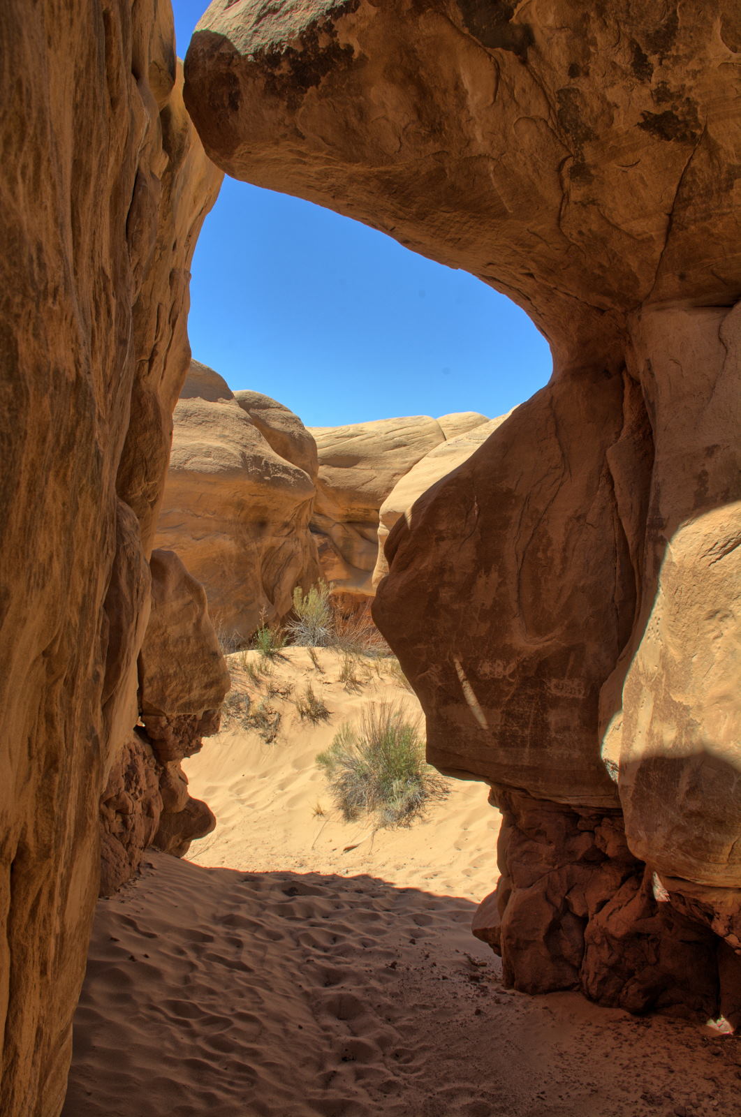
Goblin Valley State Park
Capitol Reef National Park
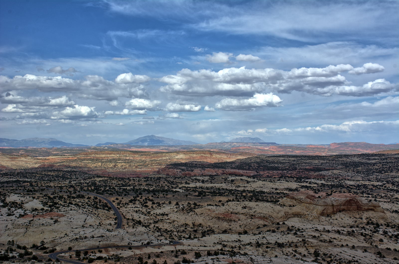
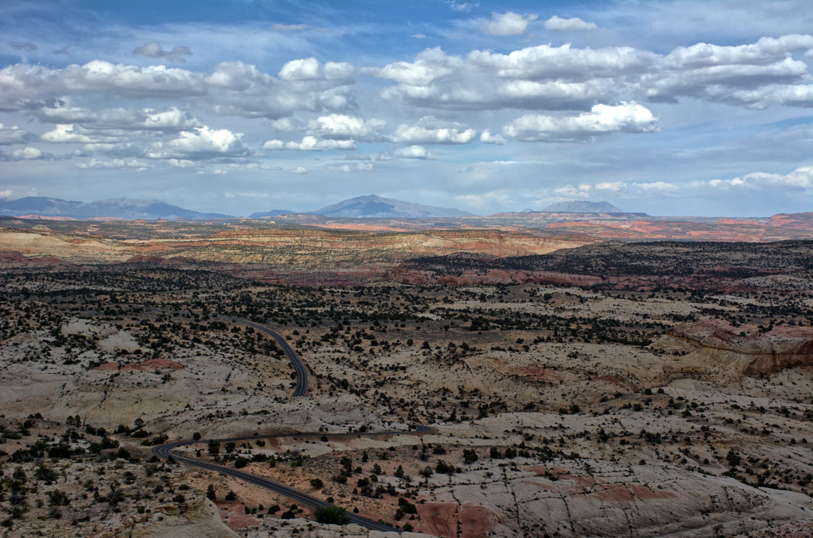
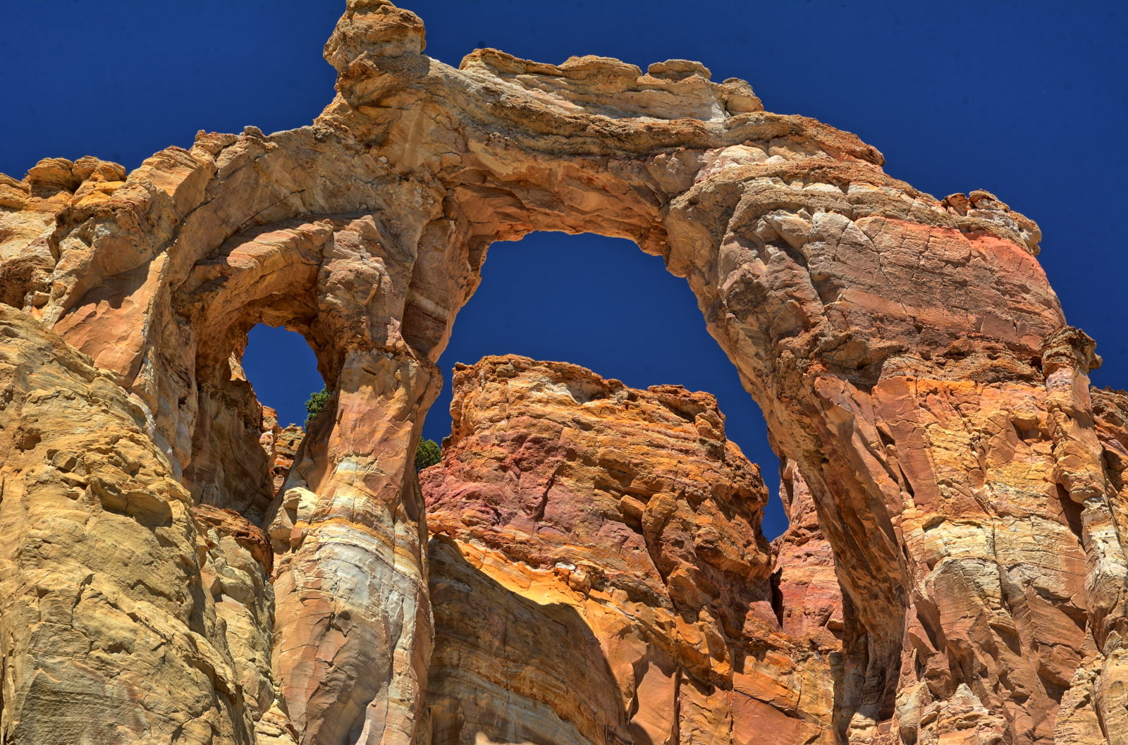
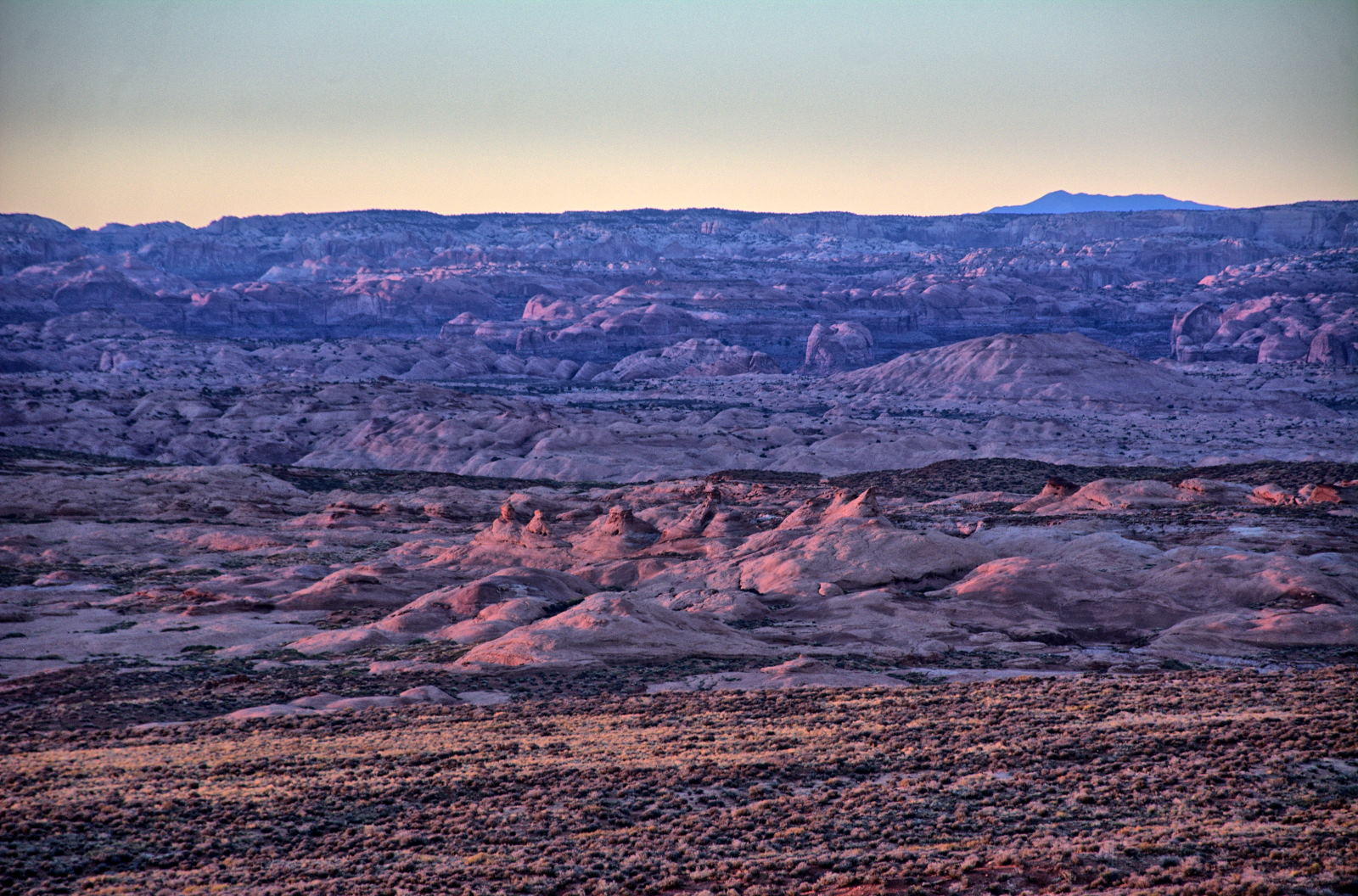
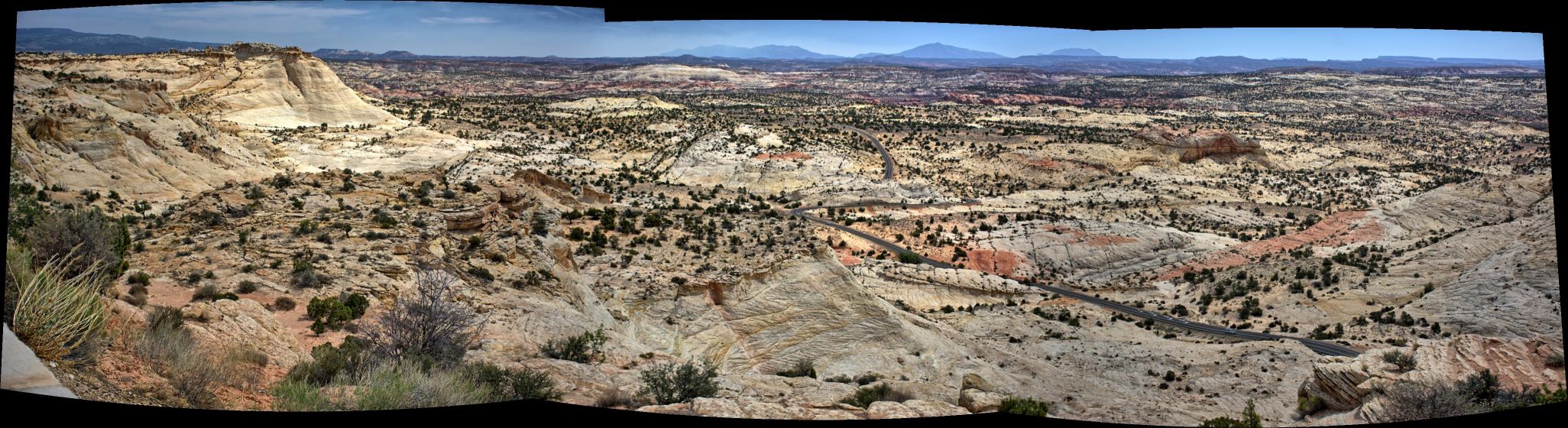
Grand Staircase - Escalante National Monument - Head Of The Rocks overlook
across the Escalante River Gorge
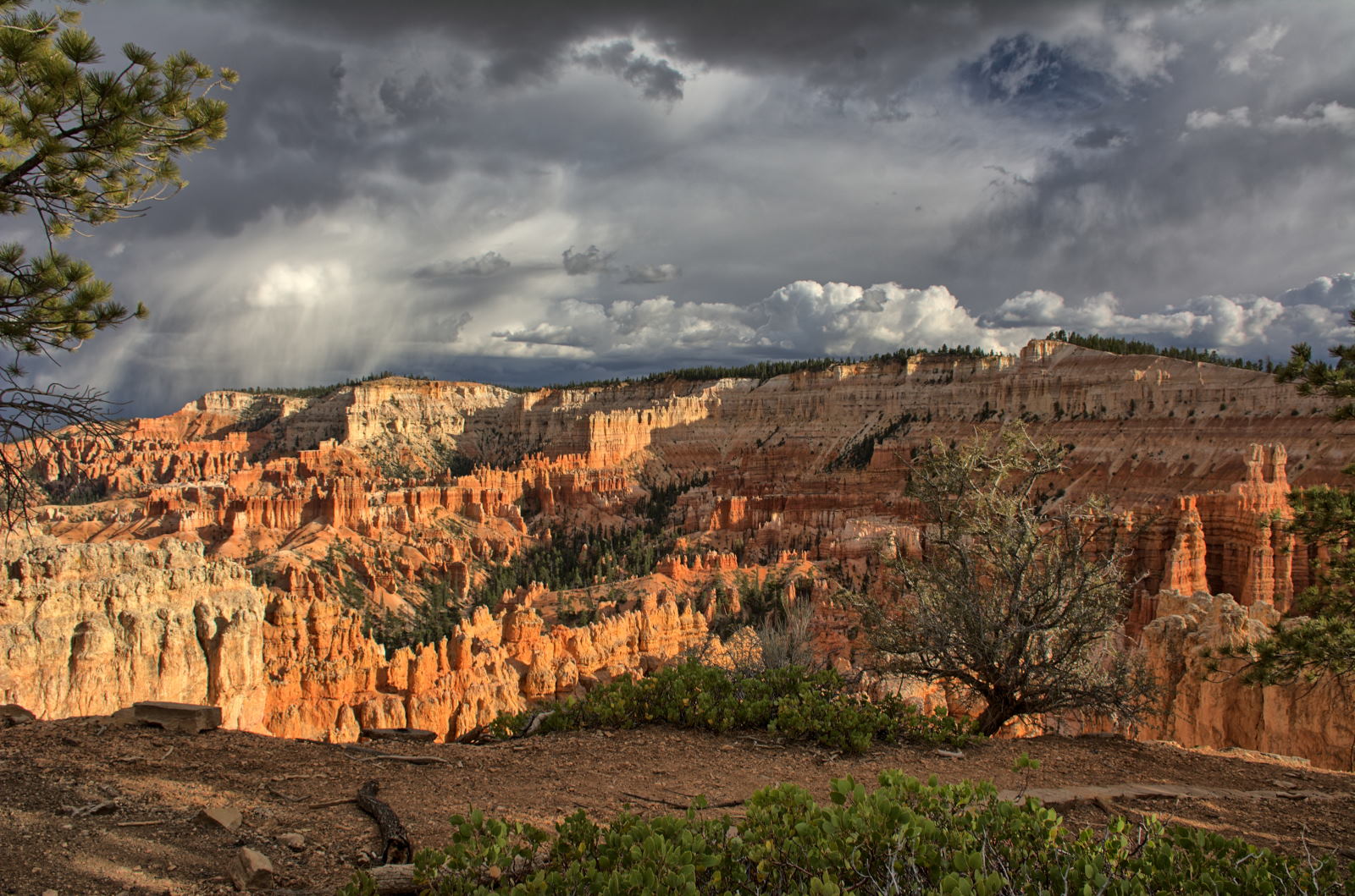
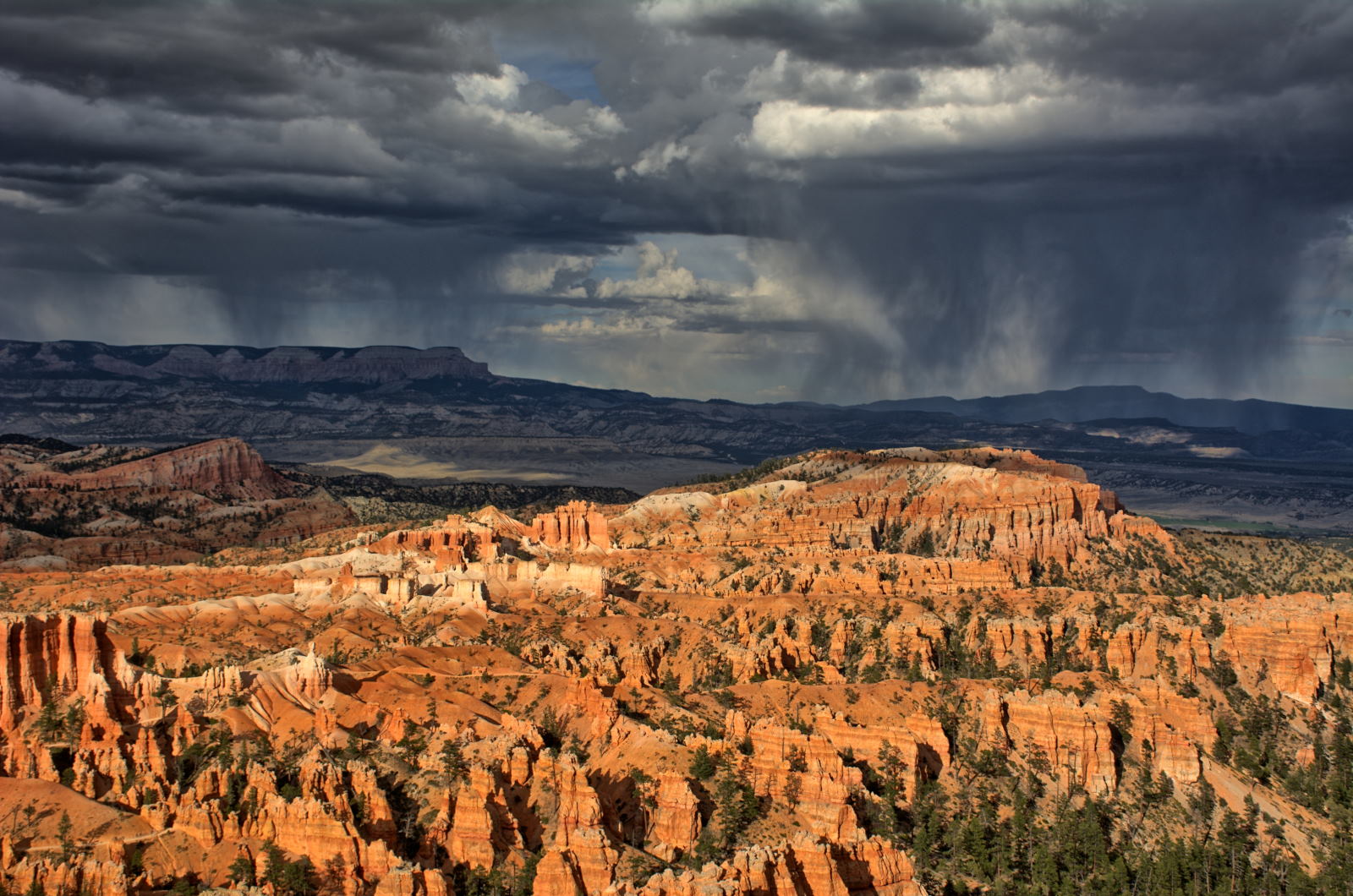
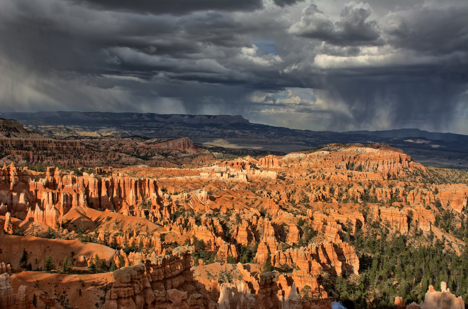
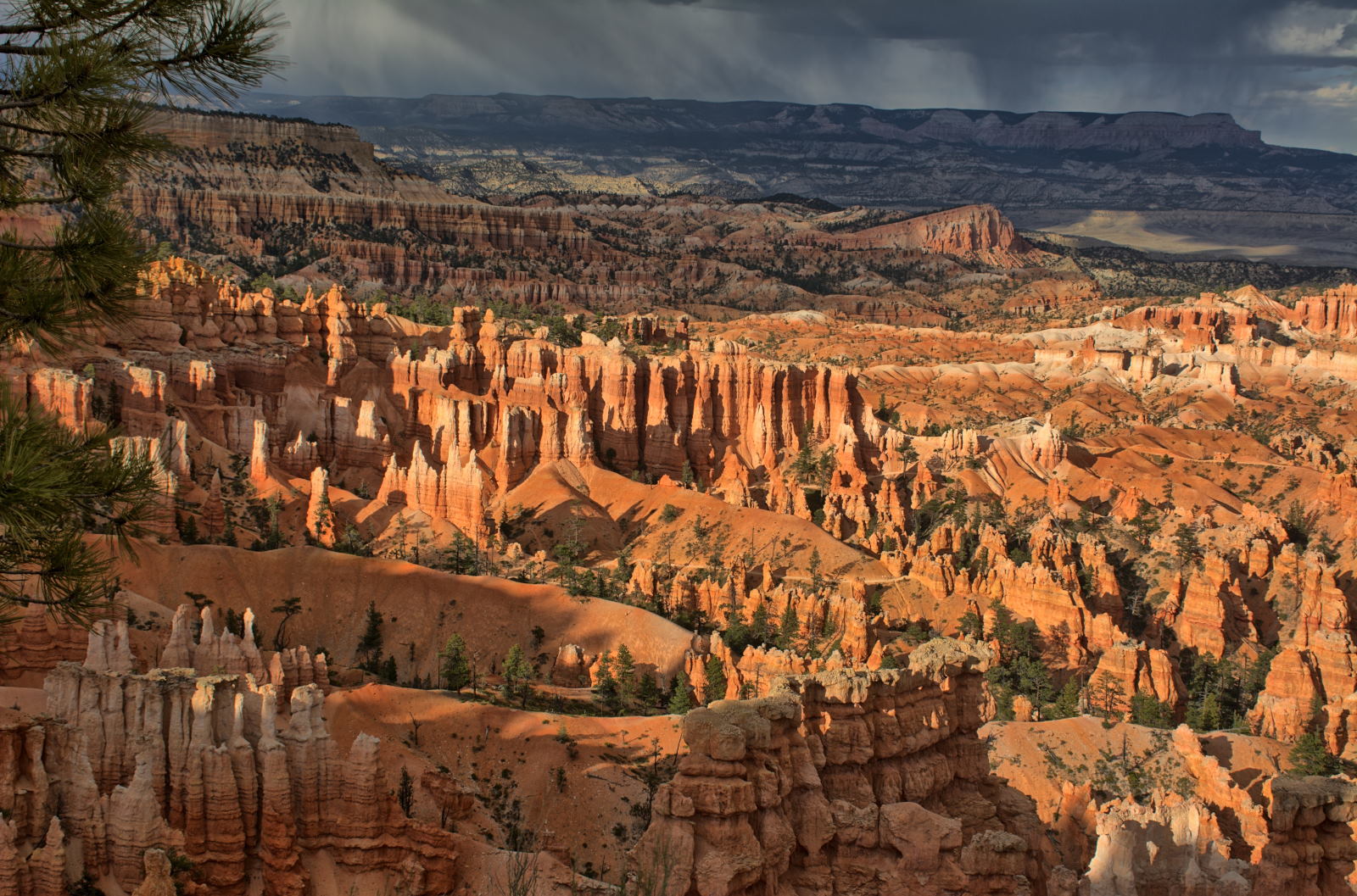
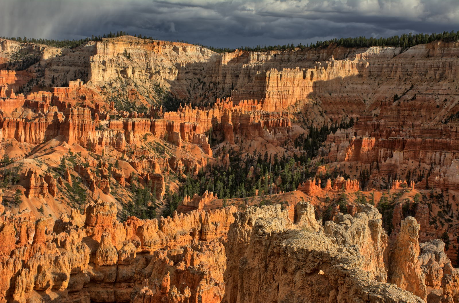
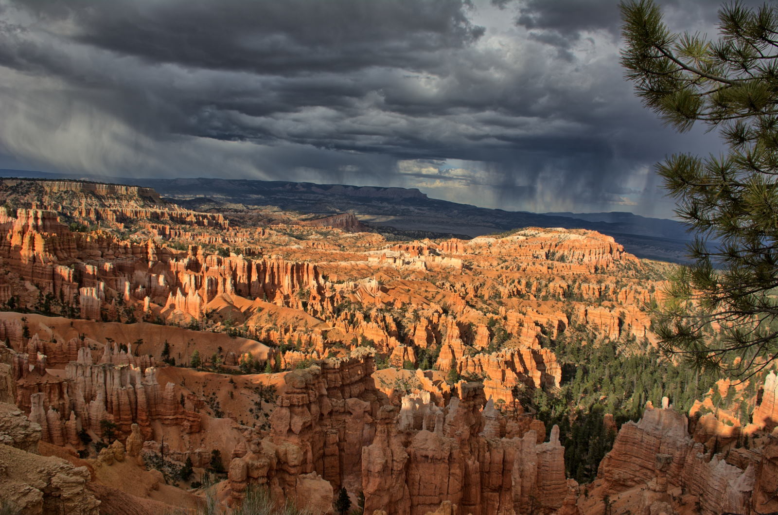
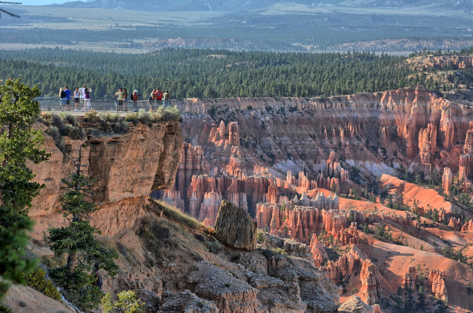
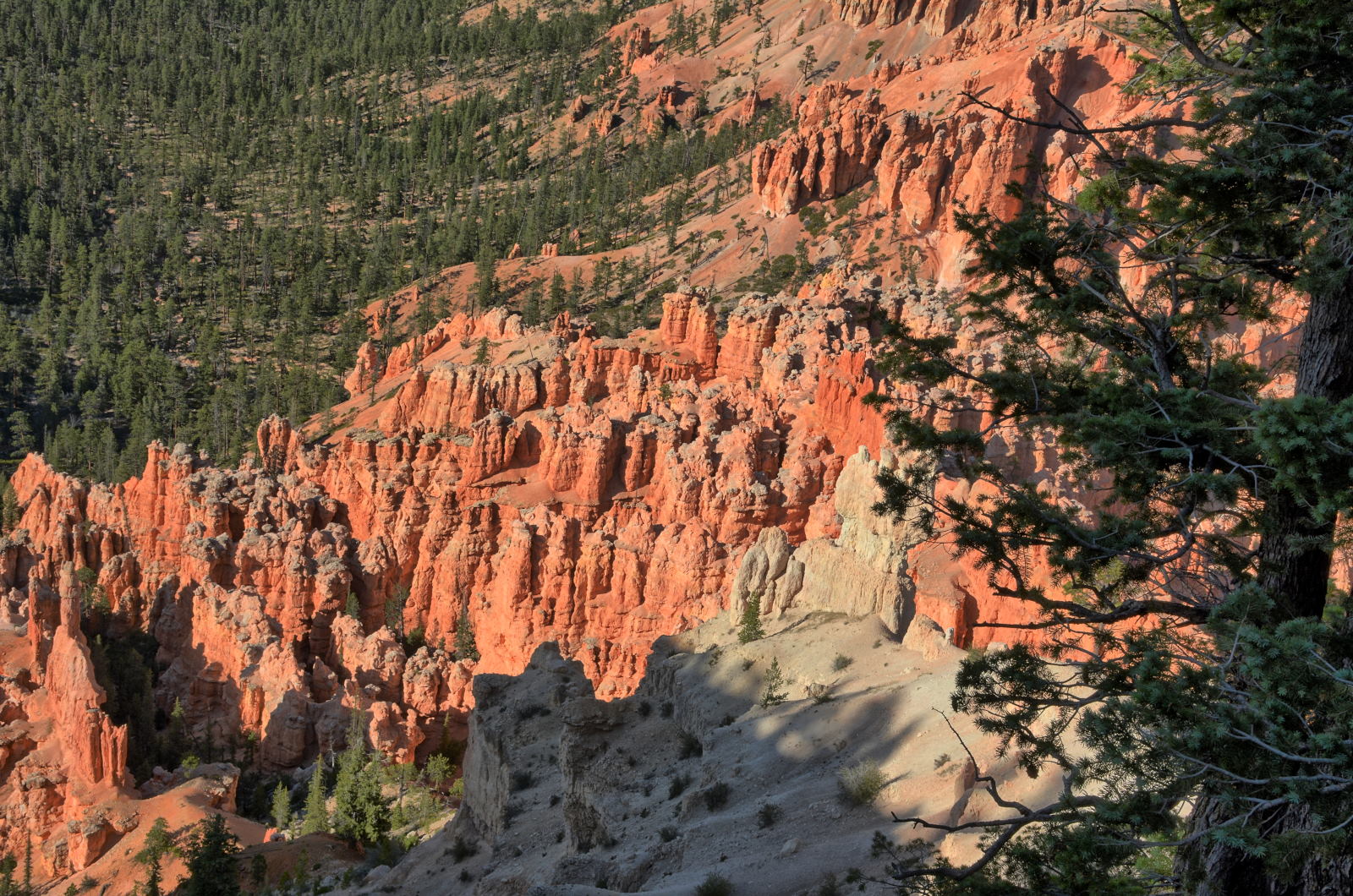
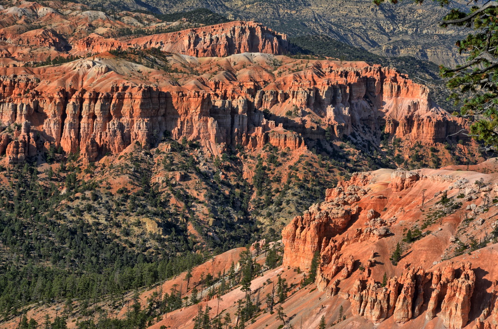
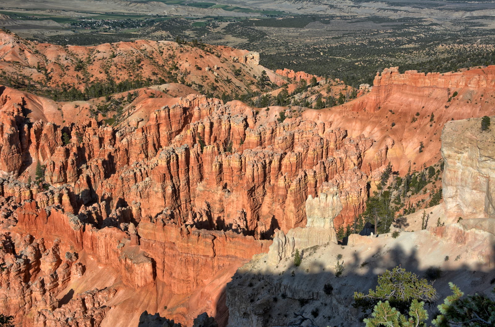
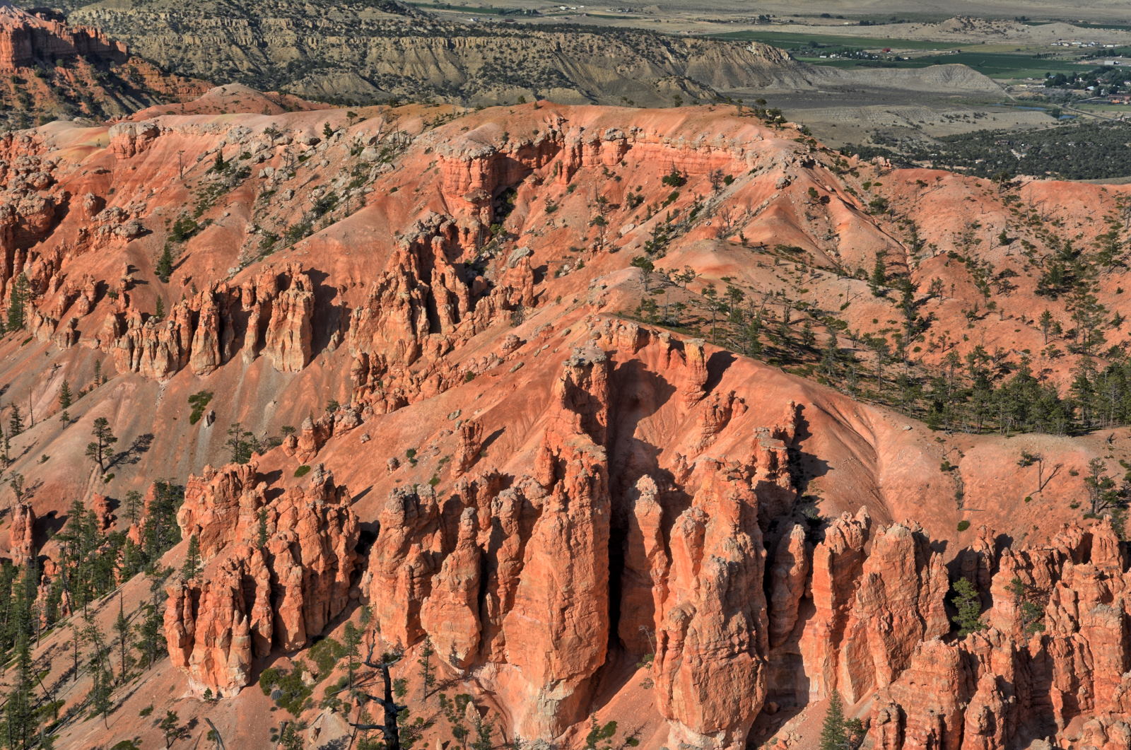
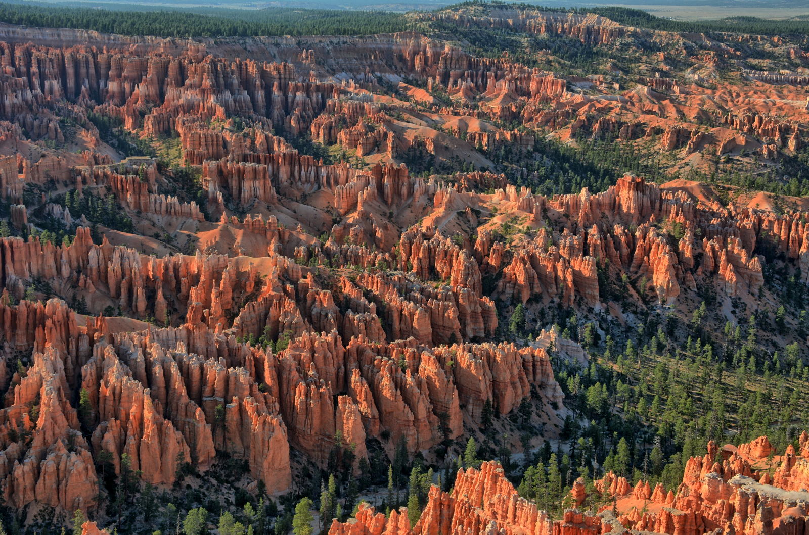
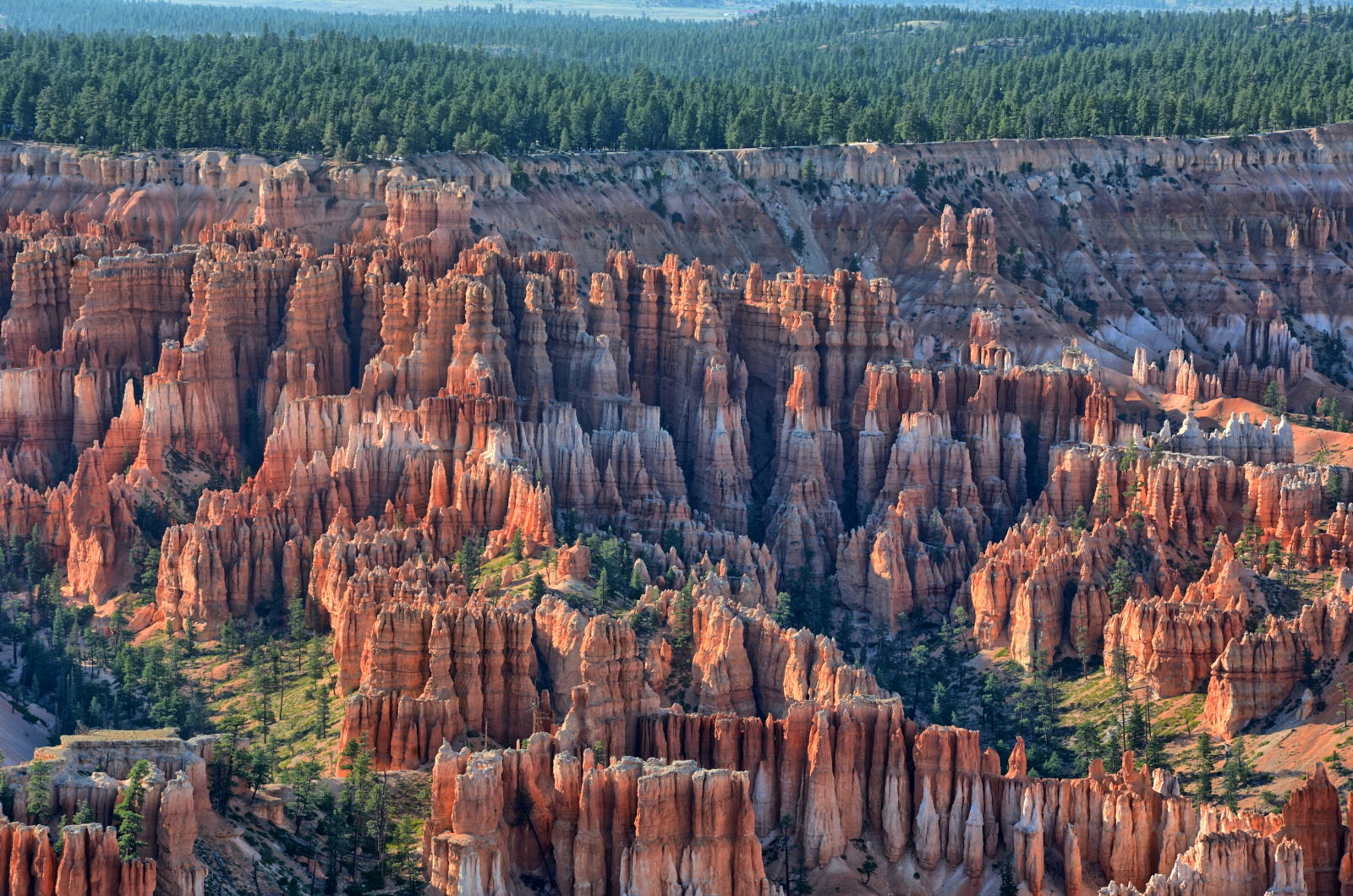
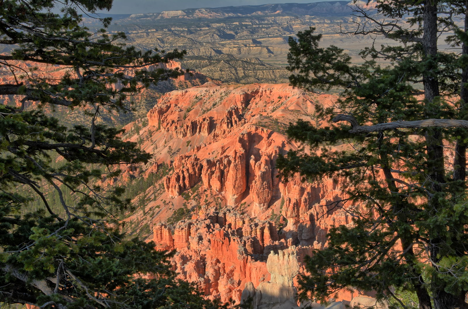
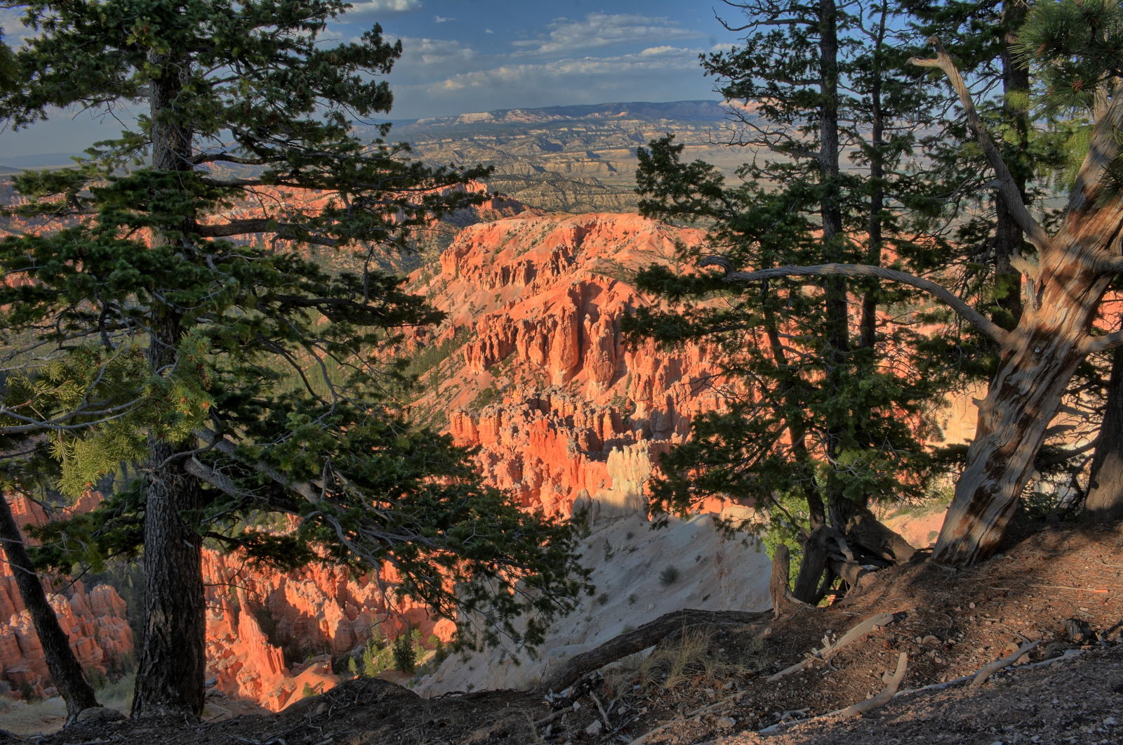
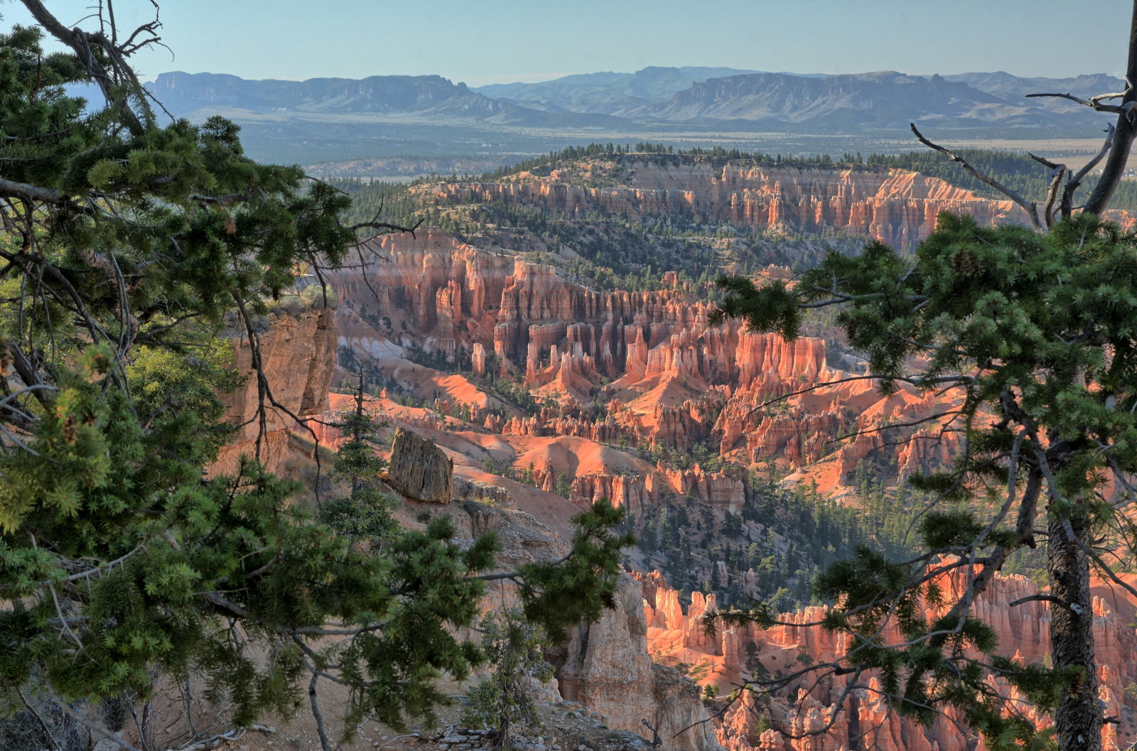
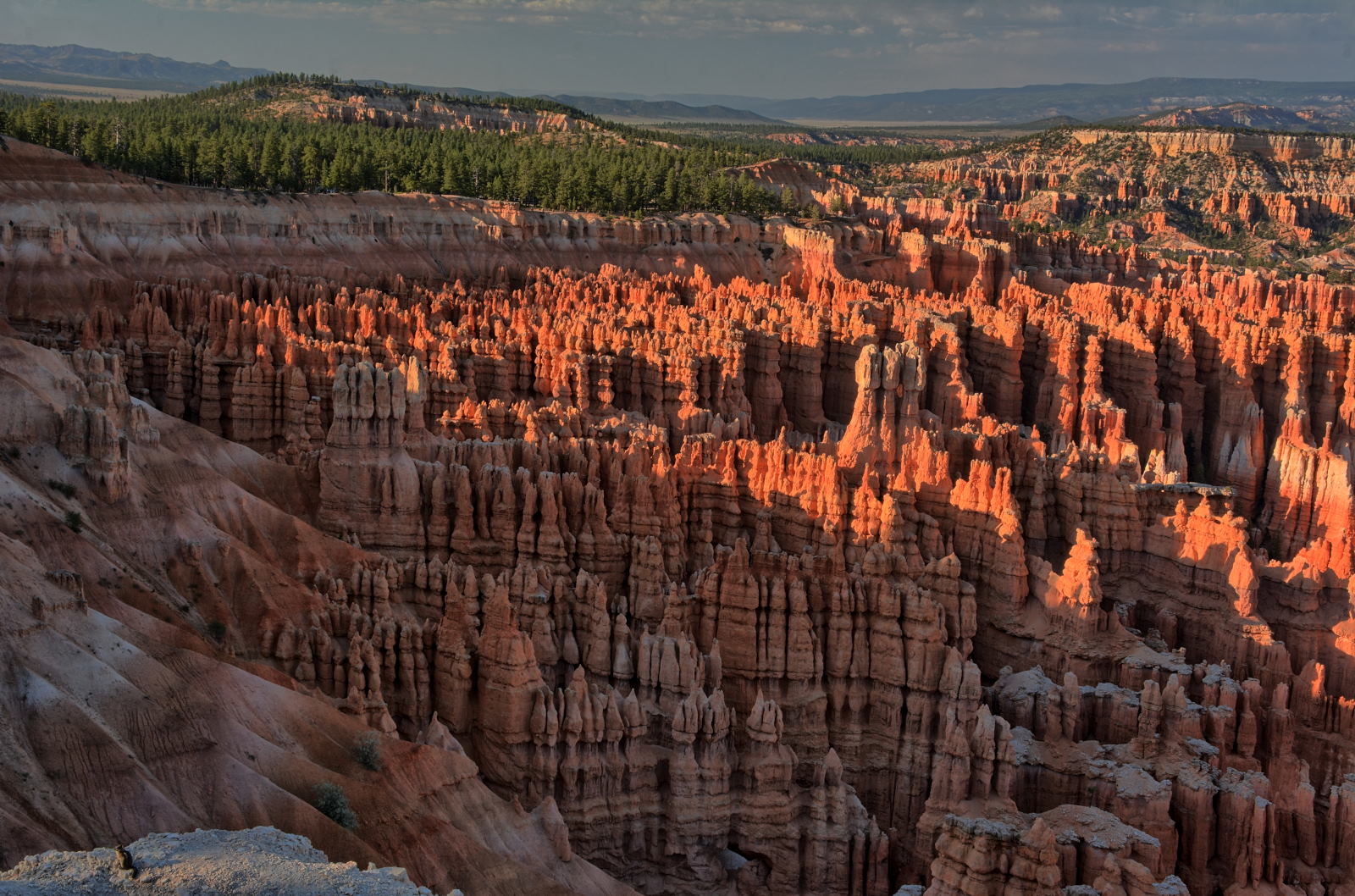
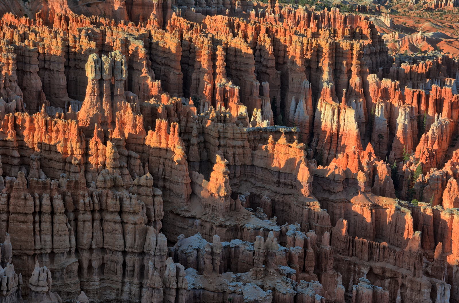
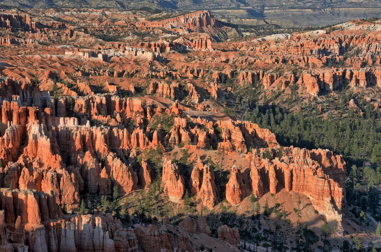
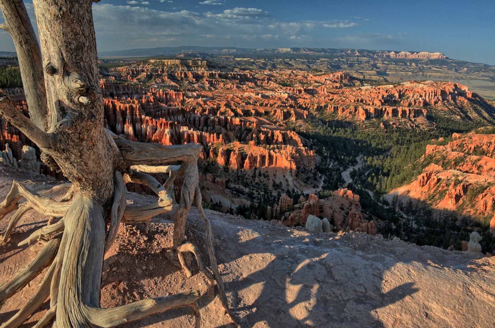
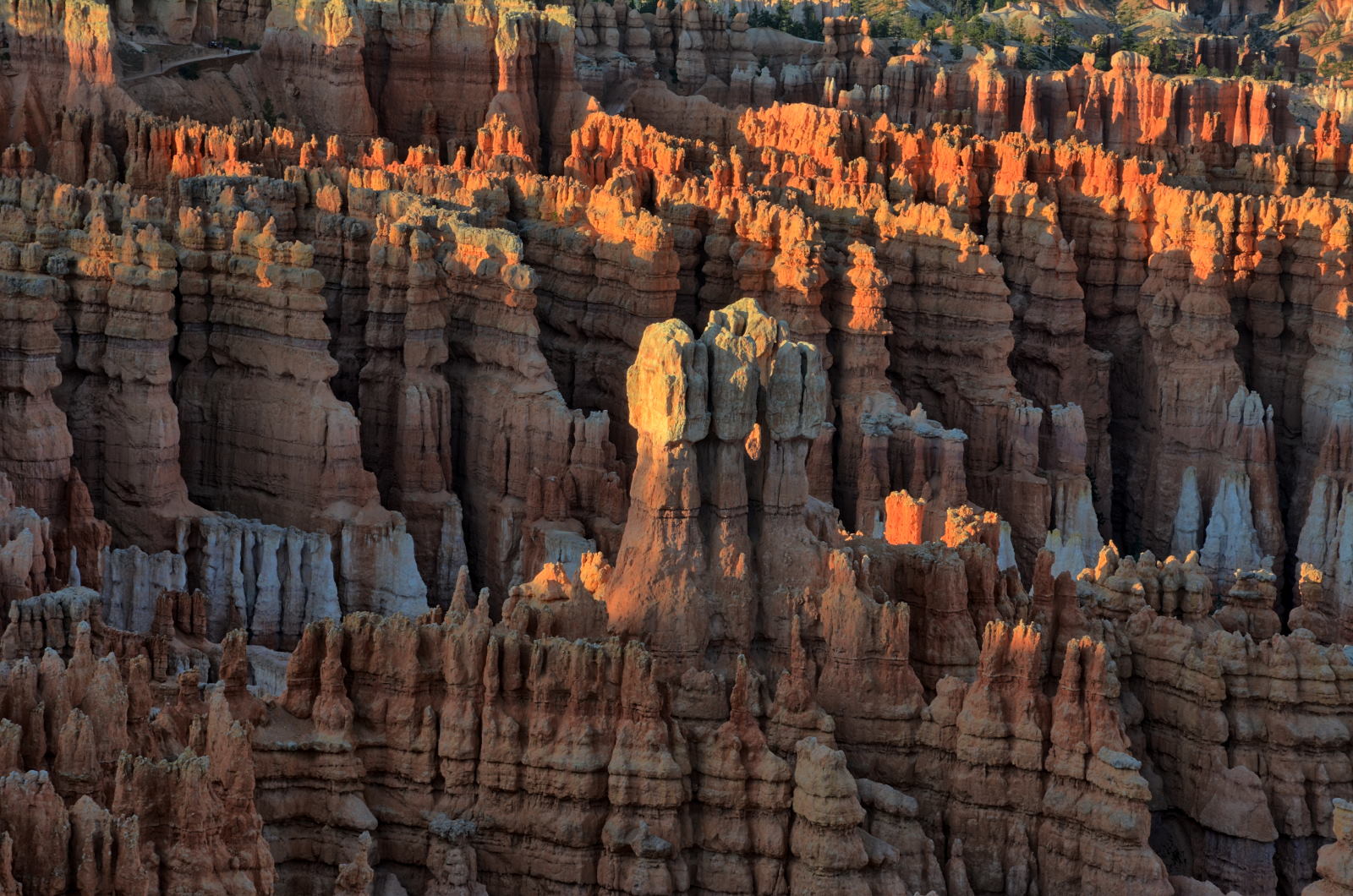
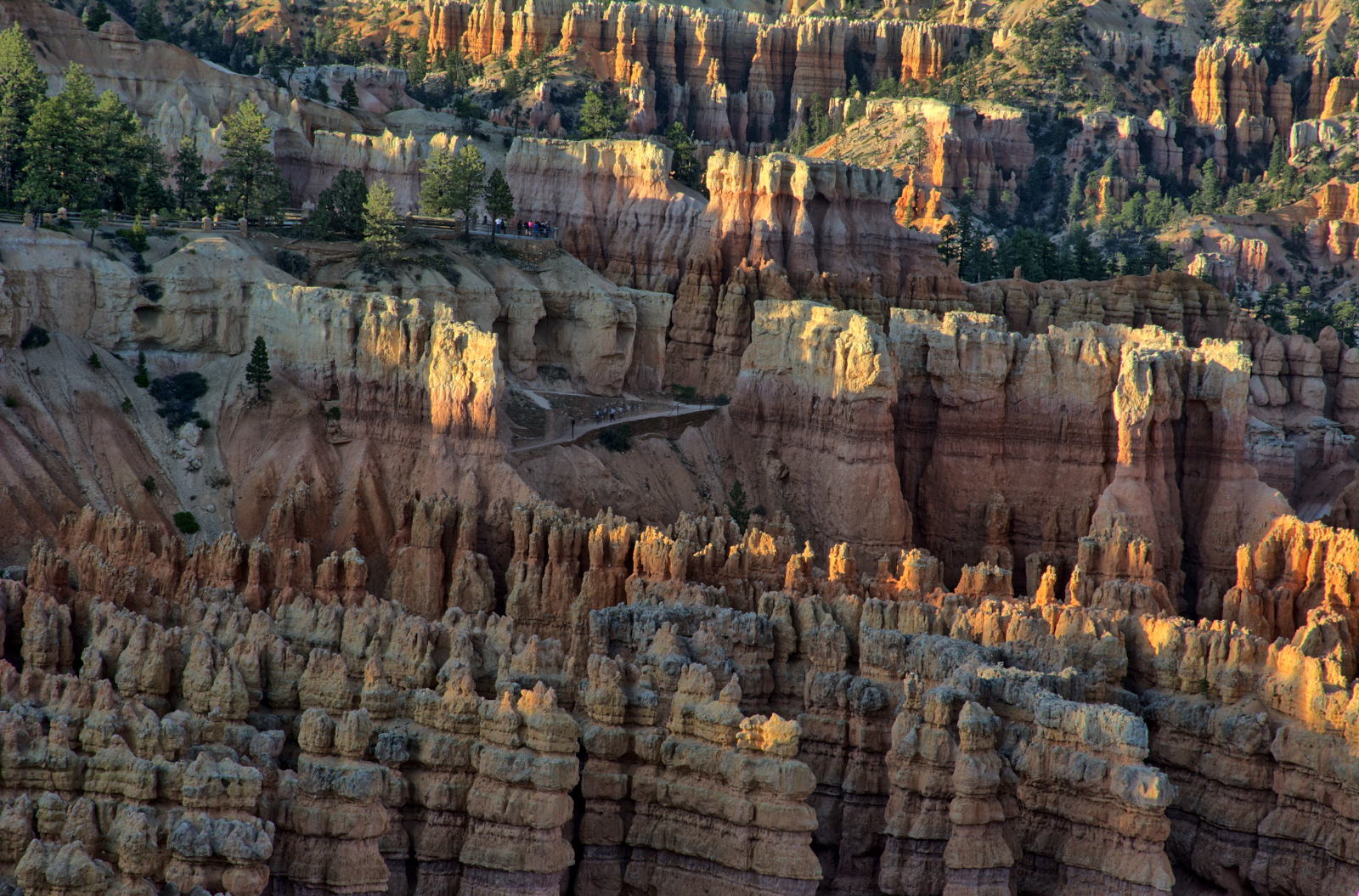
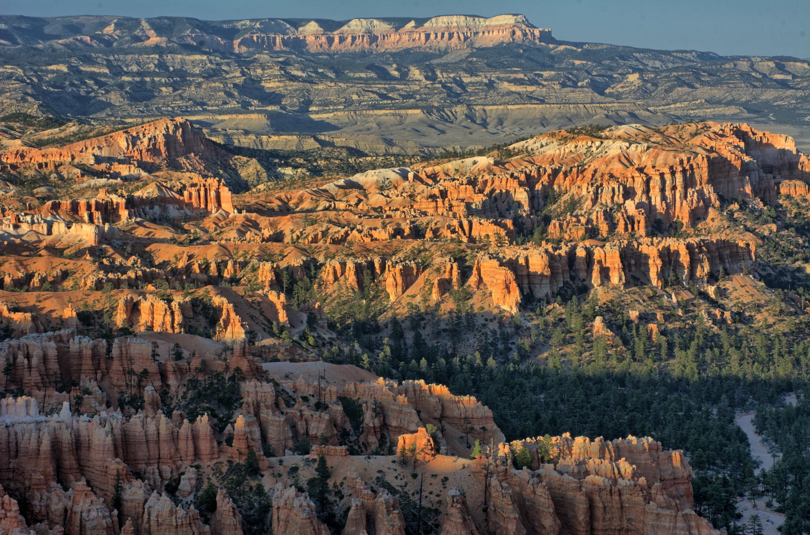
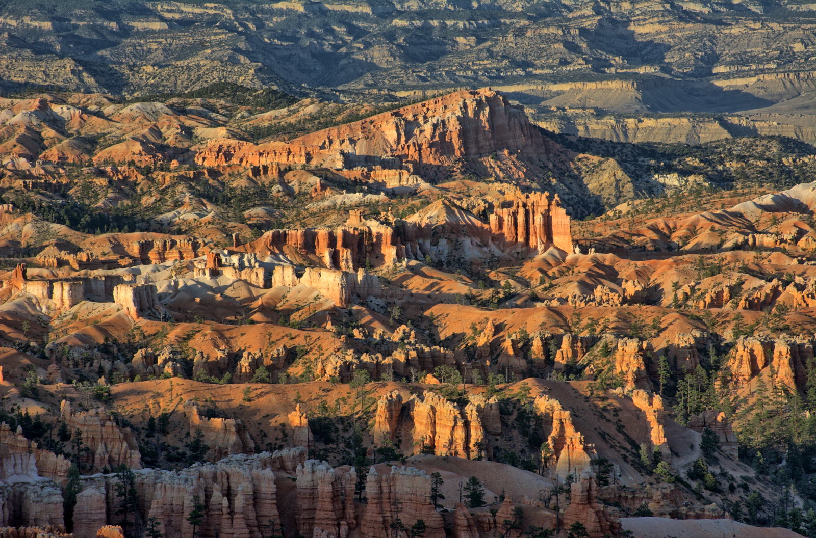
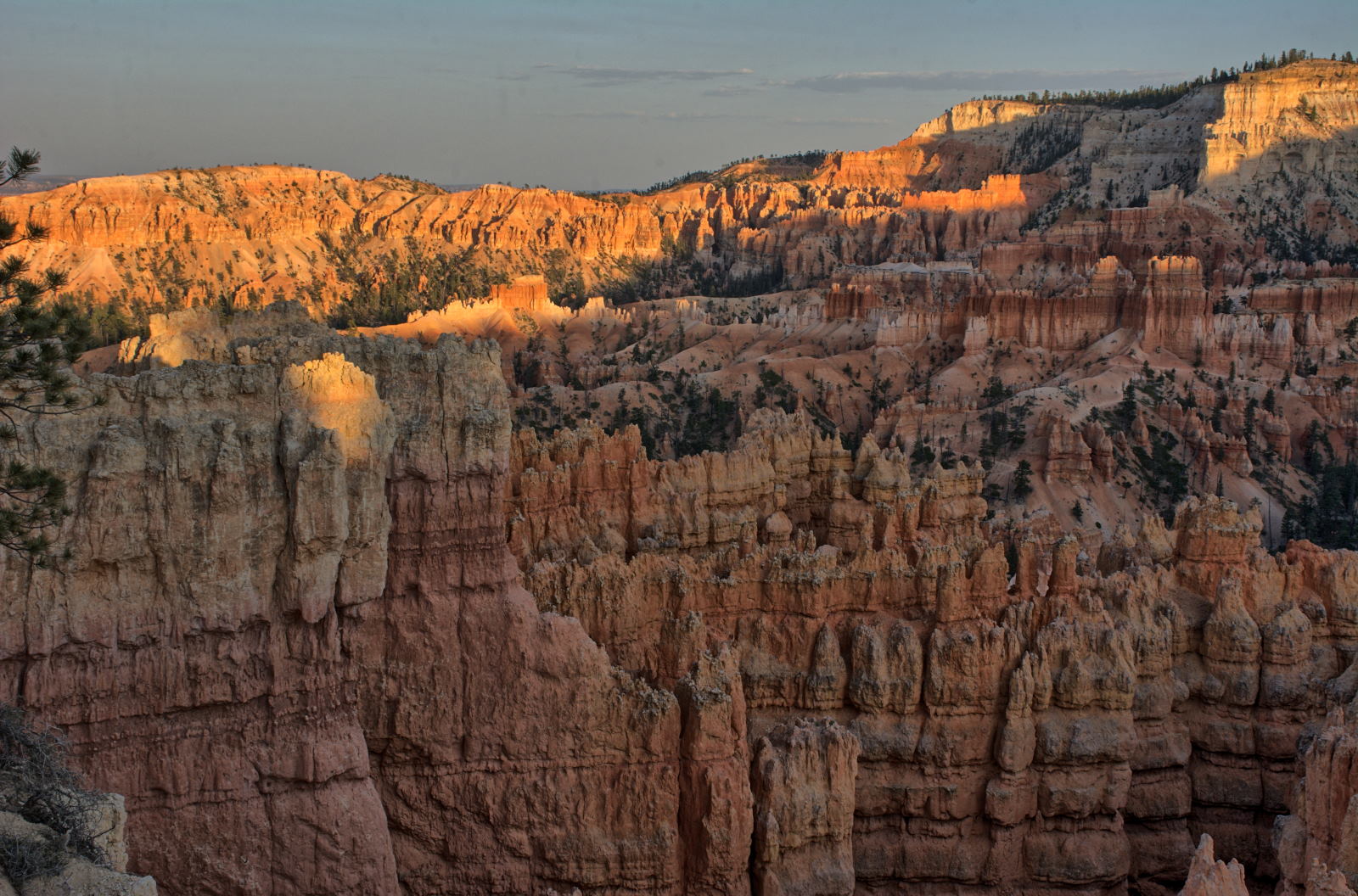
Bryce Canyon National Park sunset
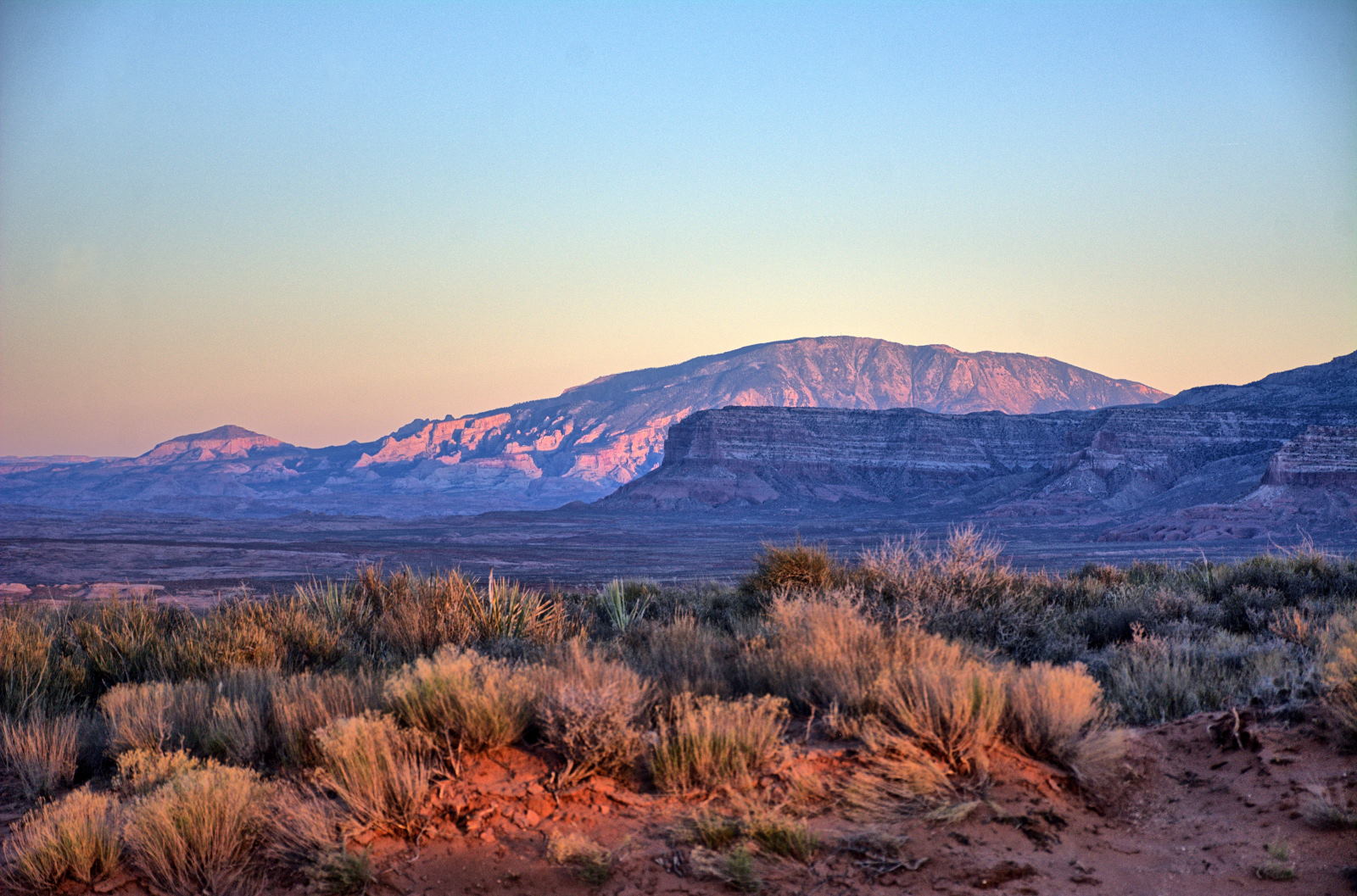
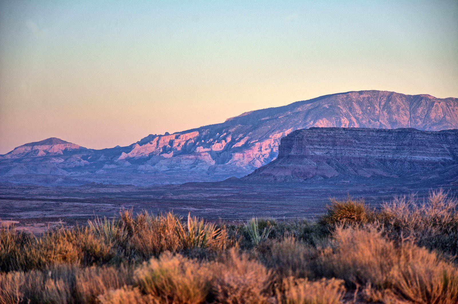
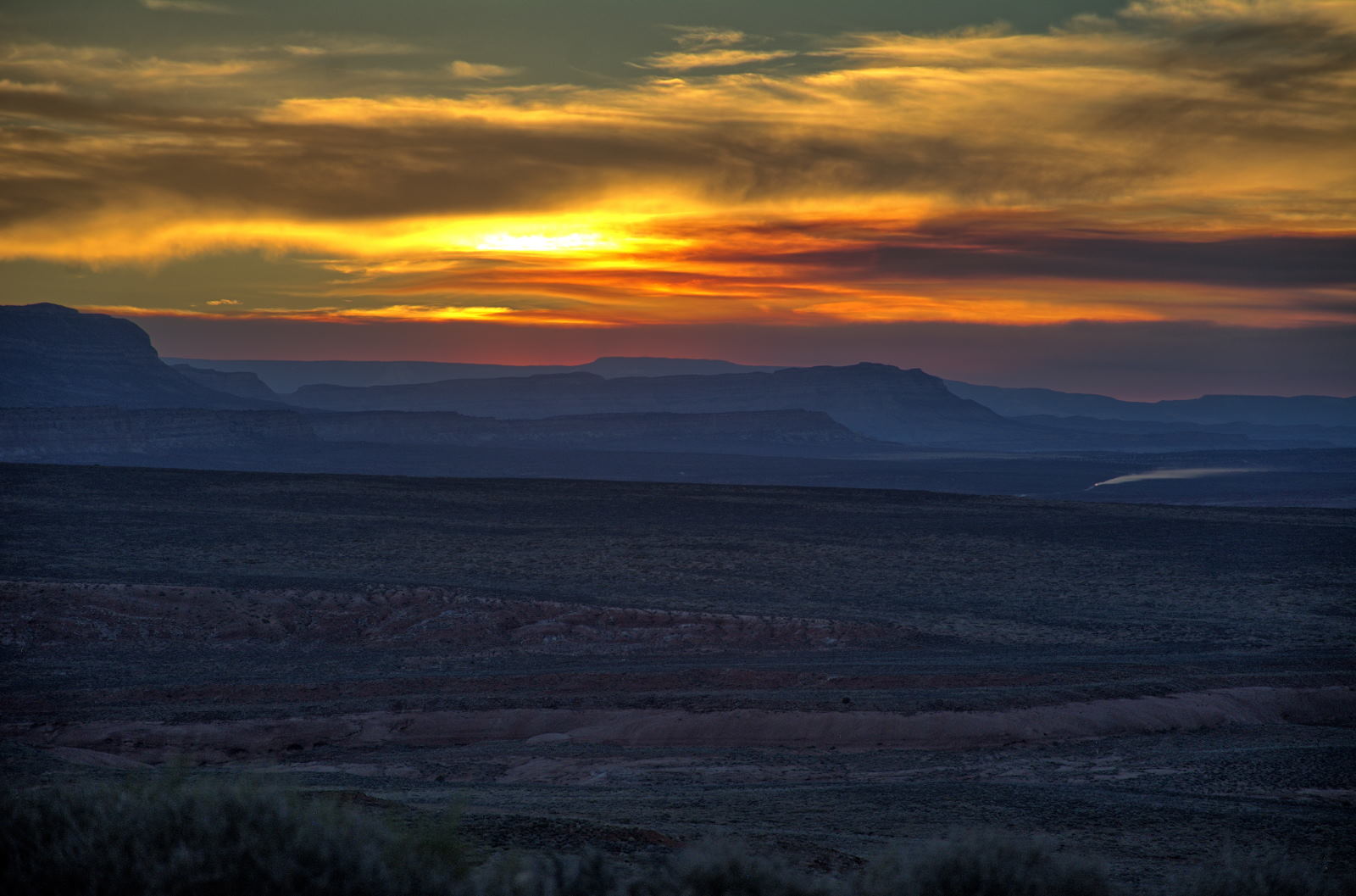
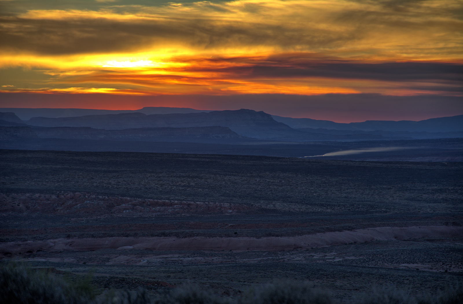
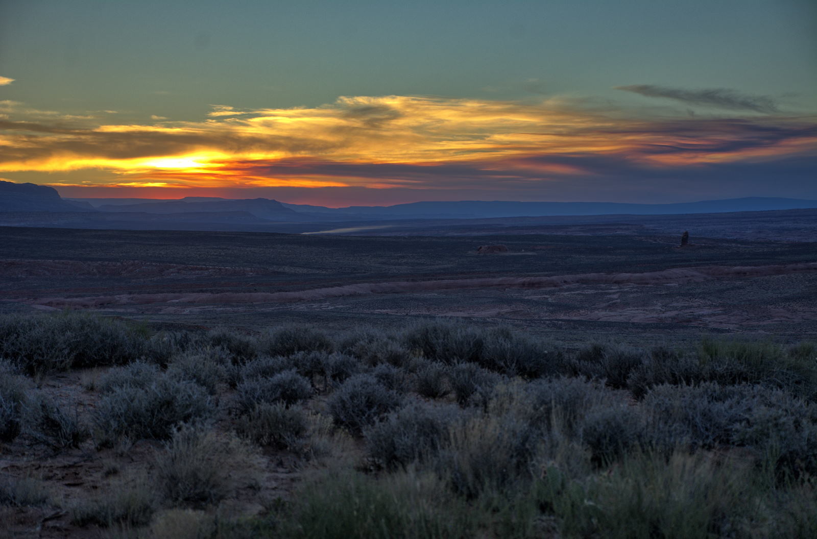
23 May 2018, Wednesday
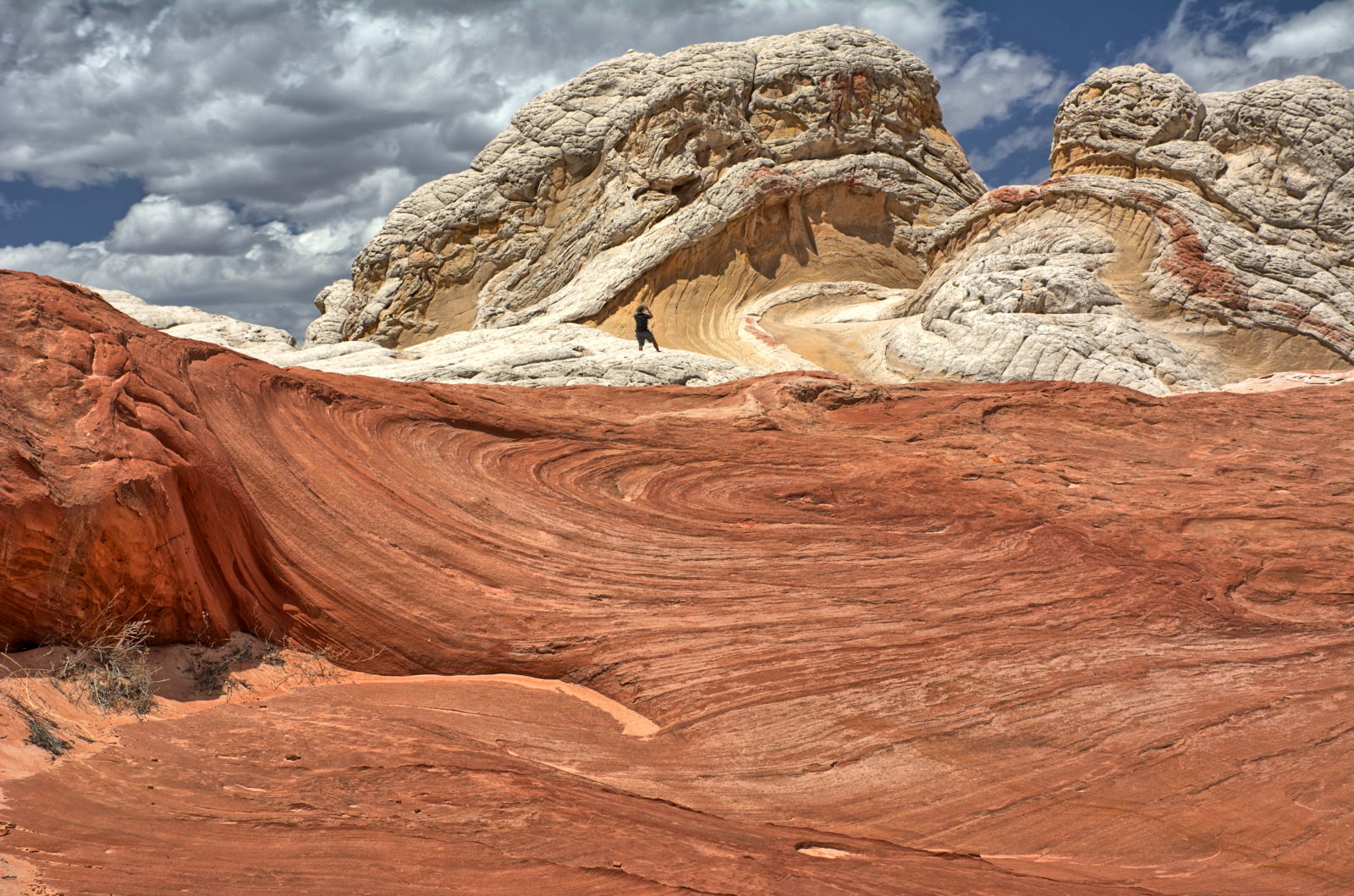
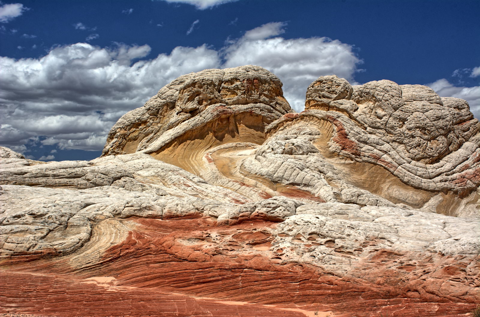
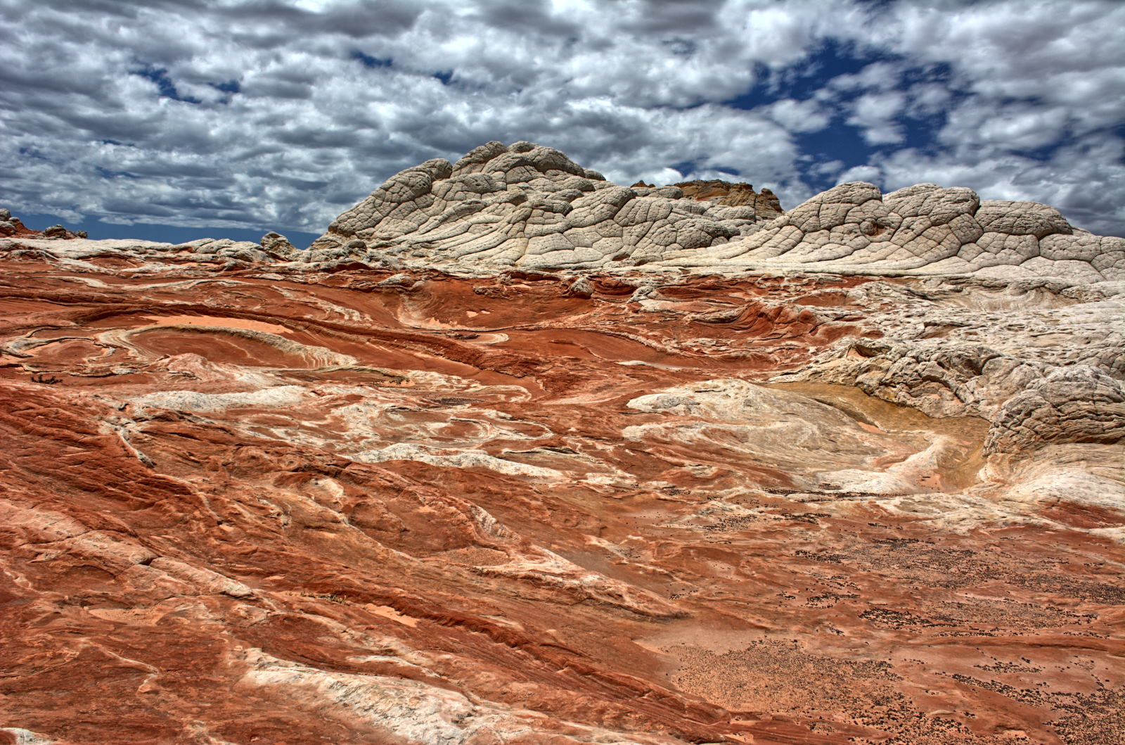
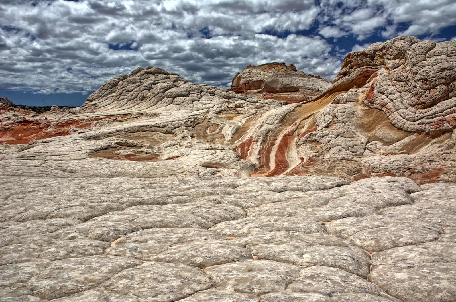
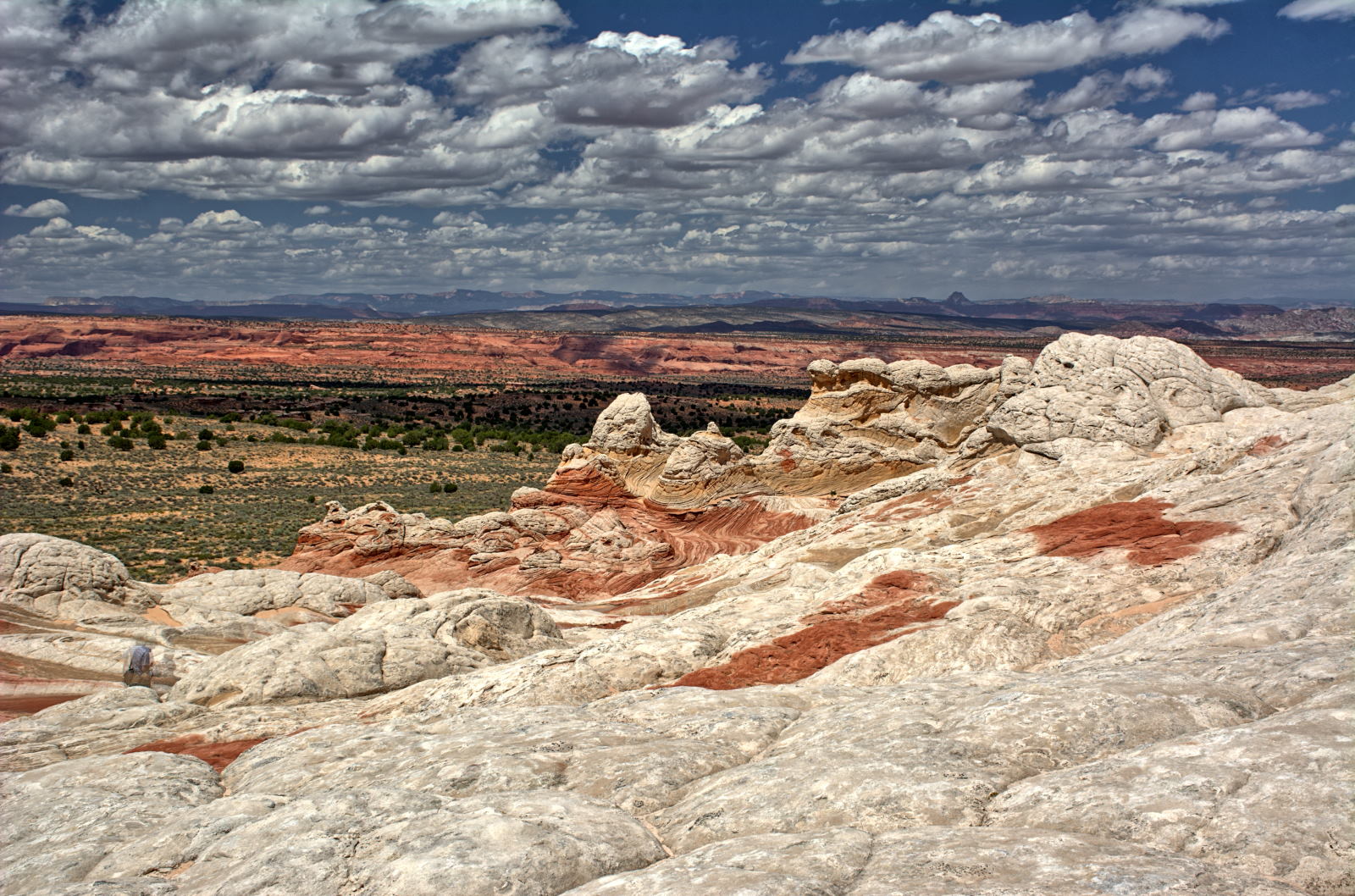
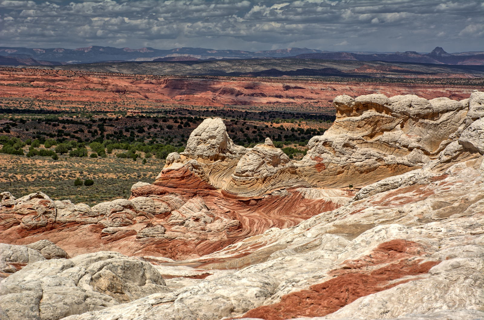
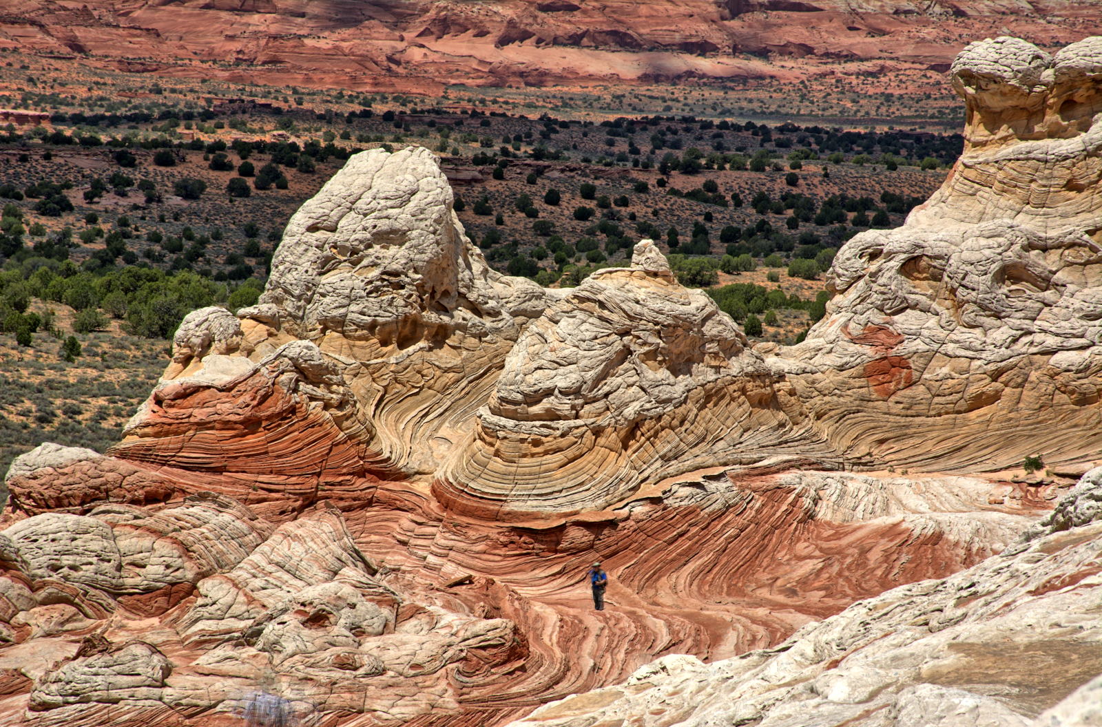
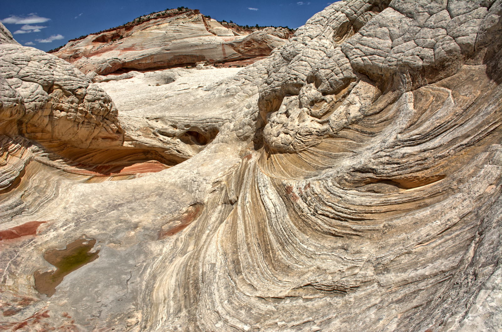
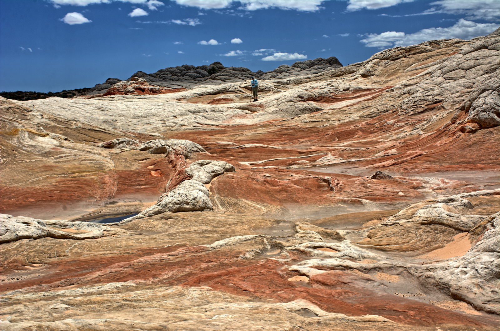
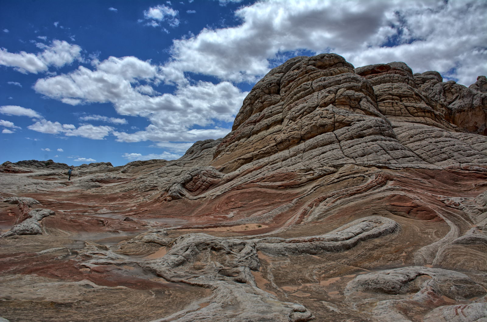
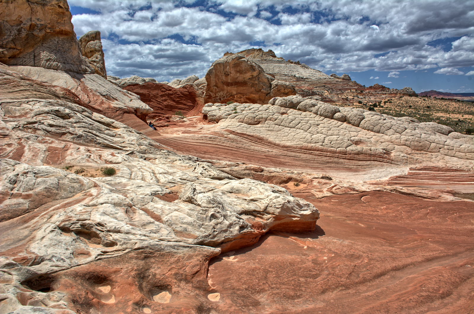
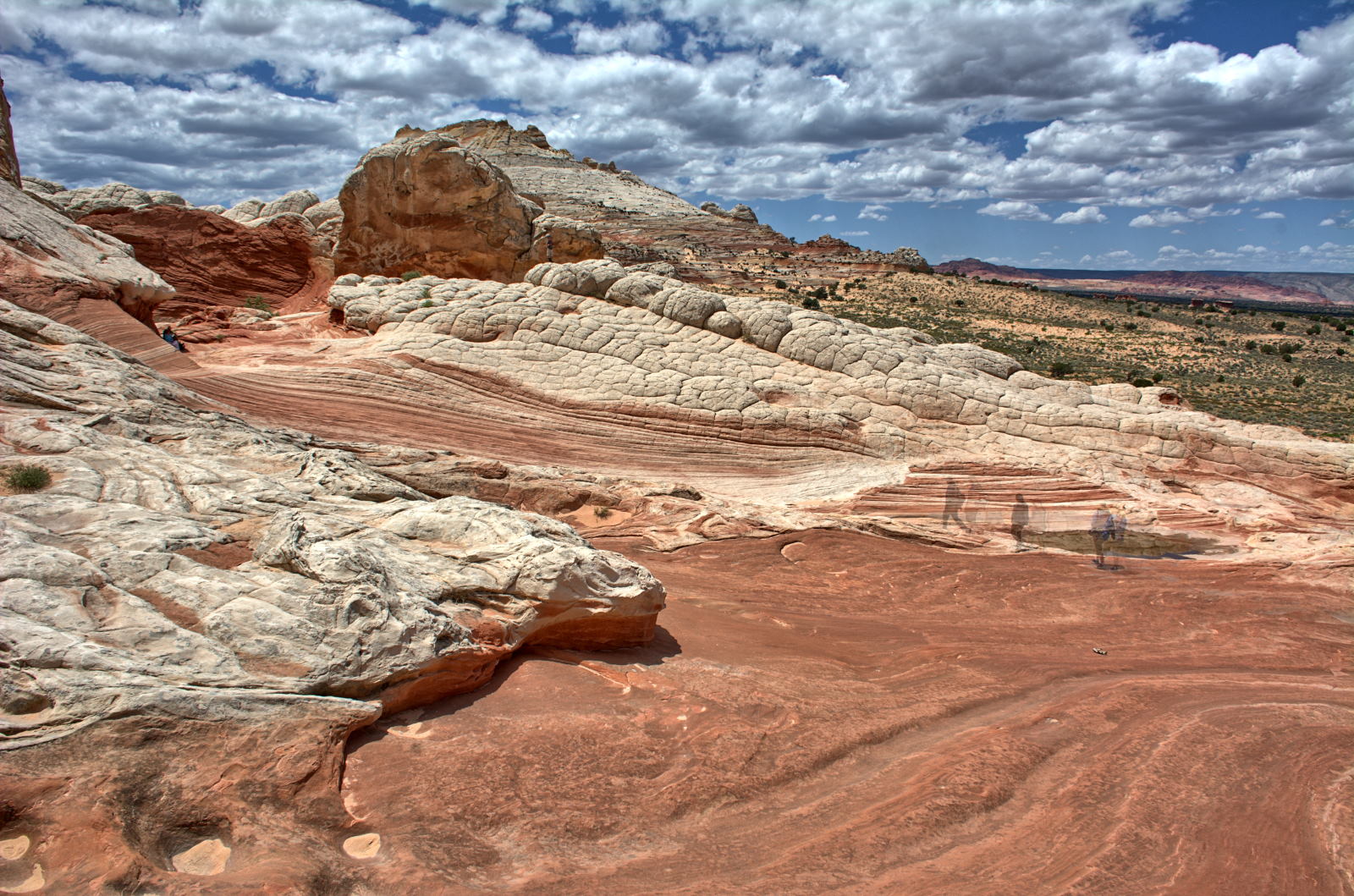
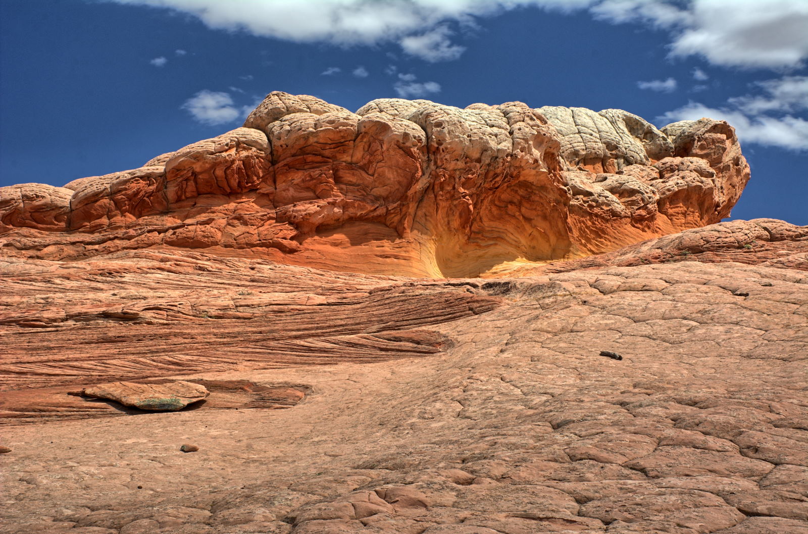
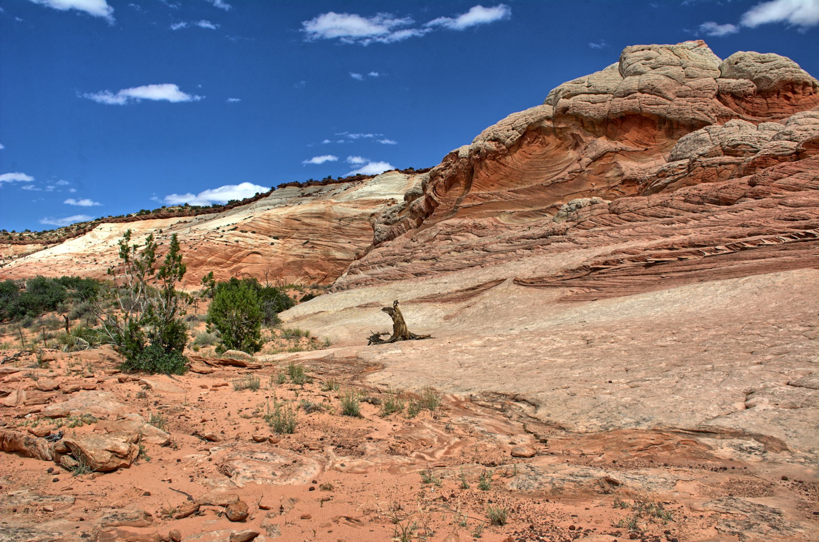
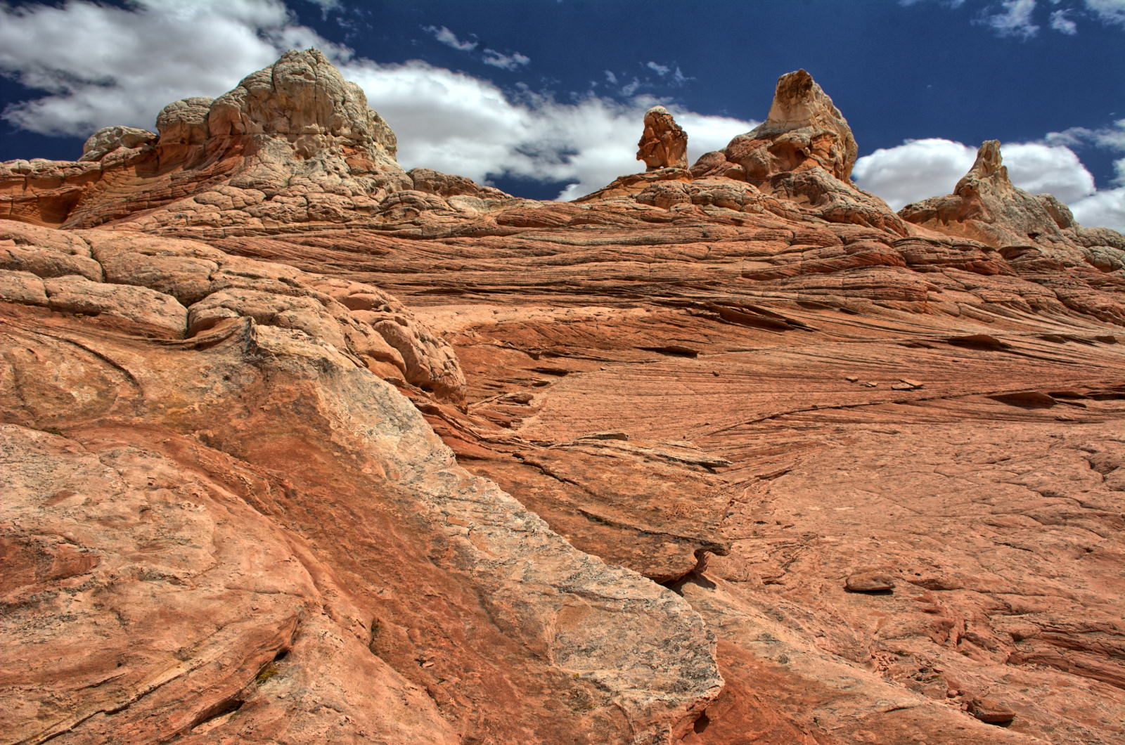
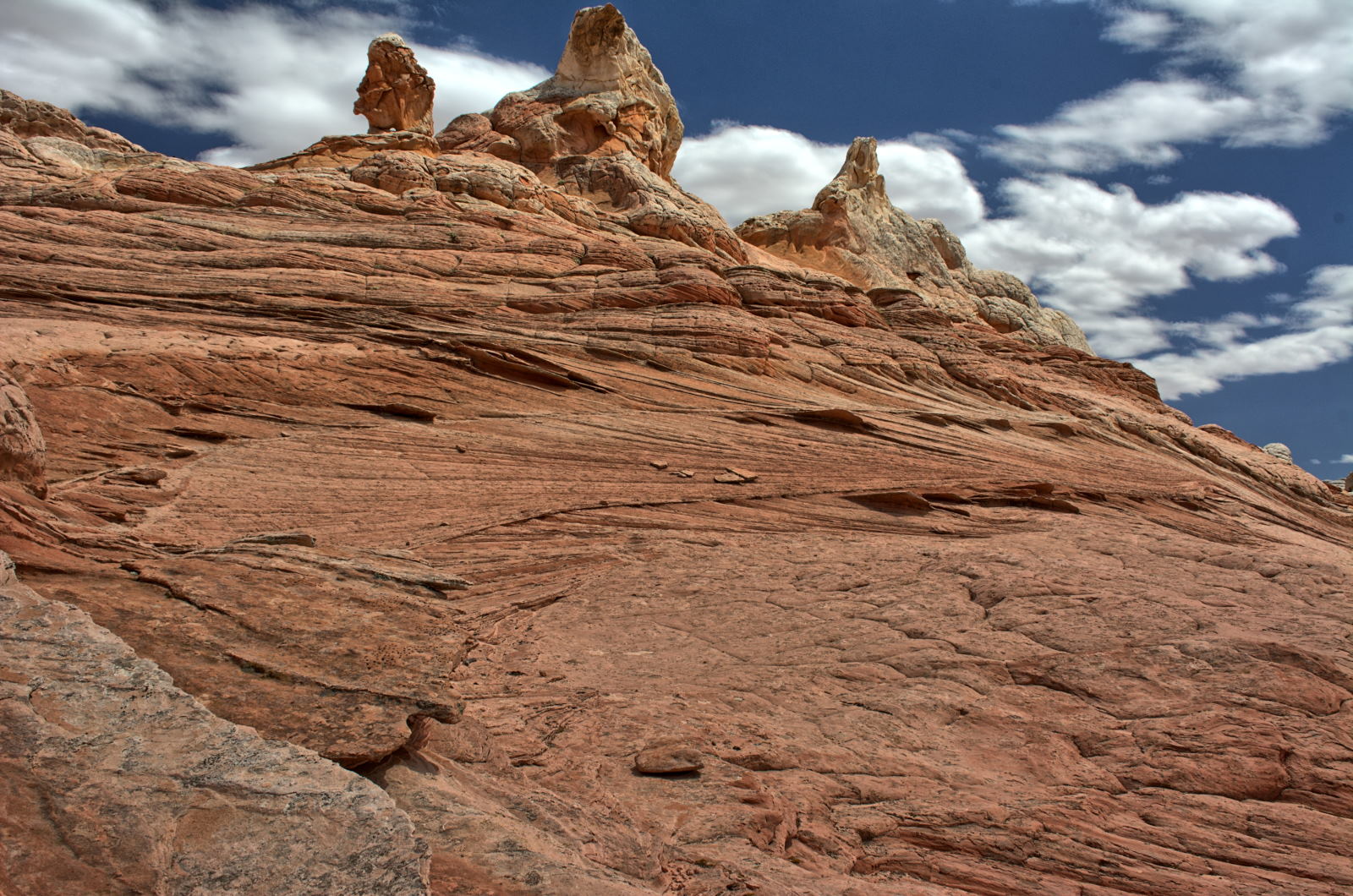
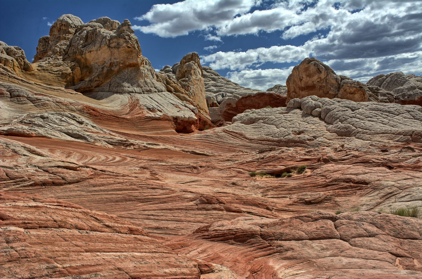
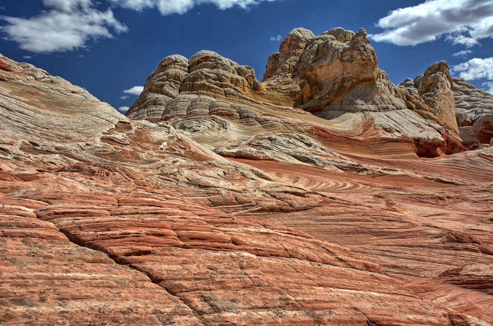
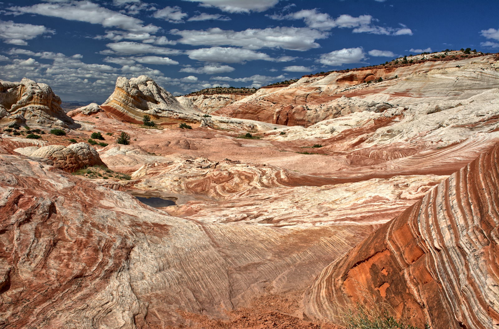
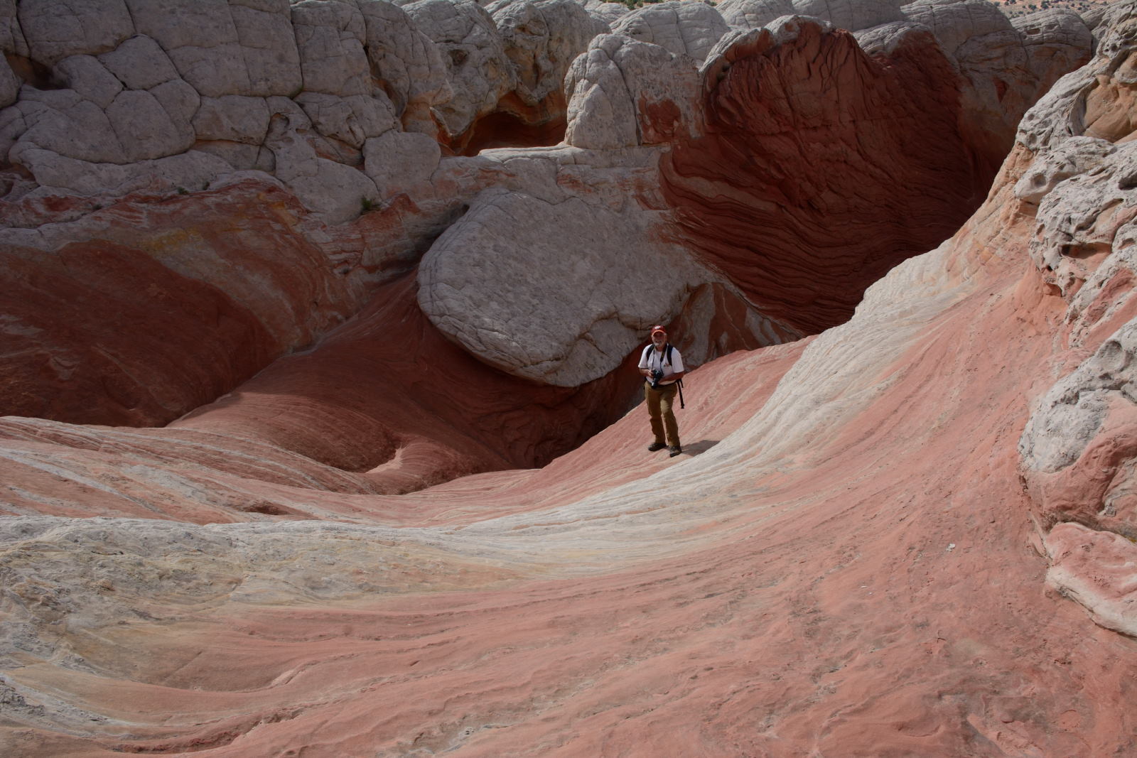
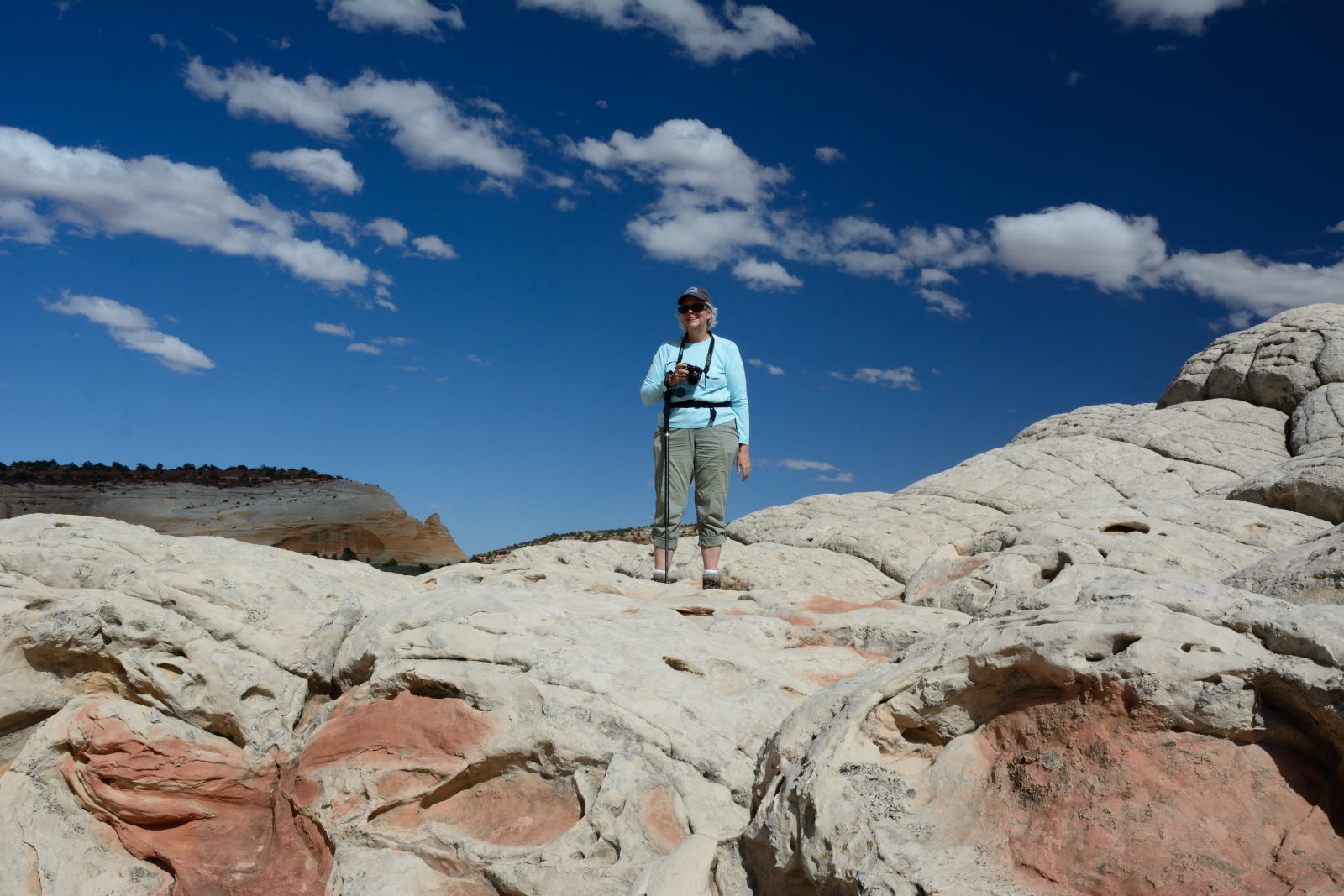
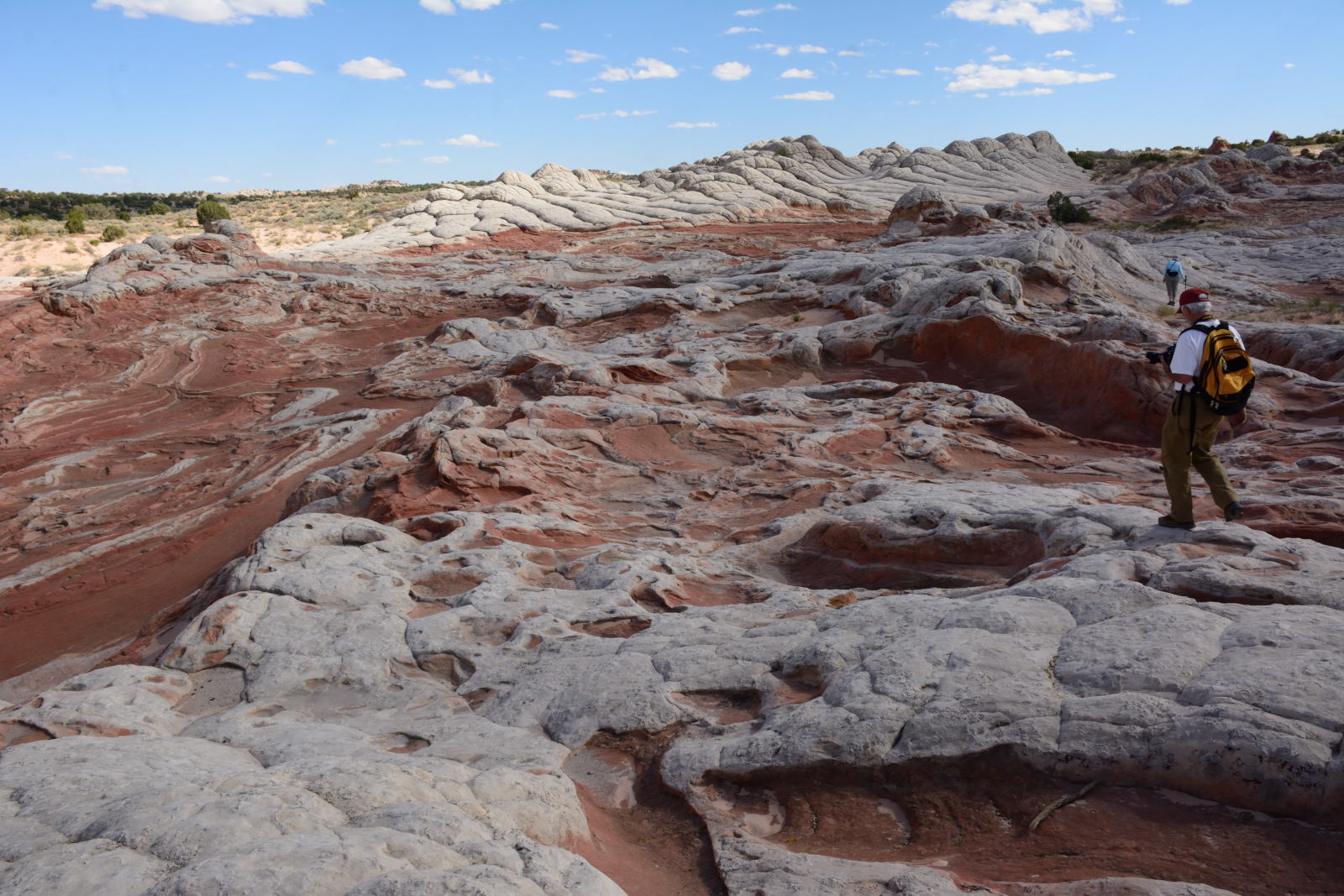
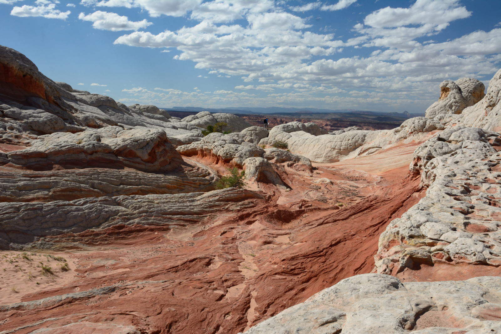
They all got up early and drove to White Pocket, an incredible set of rock
formations in the Vermillion Cliffs National Monument. It is similar to
The Wave, but no permit is needed. The ranger at the Paria River ranger station
told Chris that White Pocket is prettier than The Wave, but Chris has not seen
The Wave in person yet to judge for himself. You need a high clearance 4WD to get to
White Pocket, as there is deep sand for the last several miles. After a
long day of walking around White Pocket and taking lots of photos, they drove
back to the campground for dinner and wine. The wine was something we
bought on sale
at the state-line convenience store just north of Page, Arizona, and everyone
did agree that it was ... 'something'.
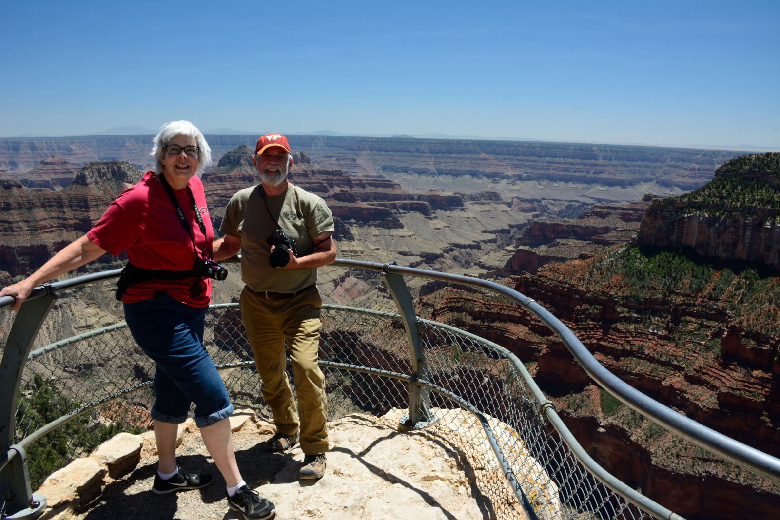
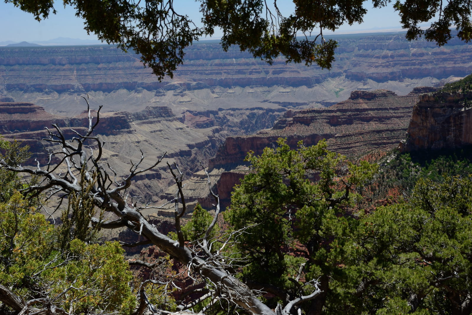
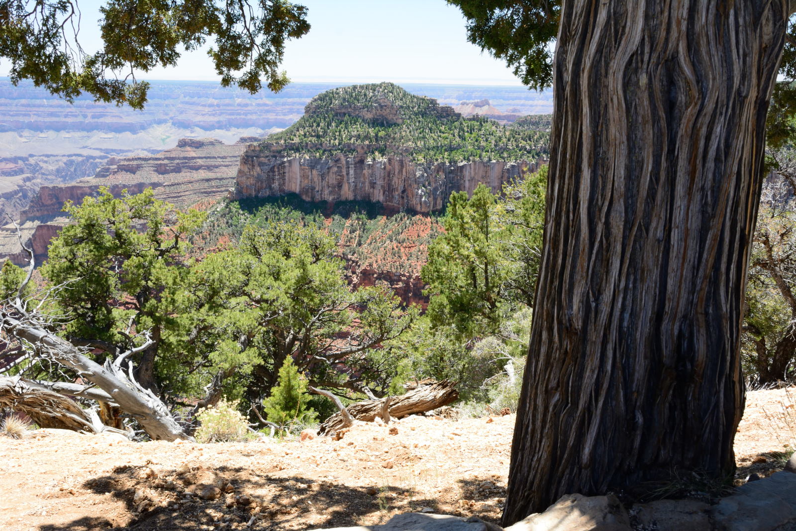
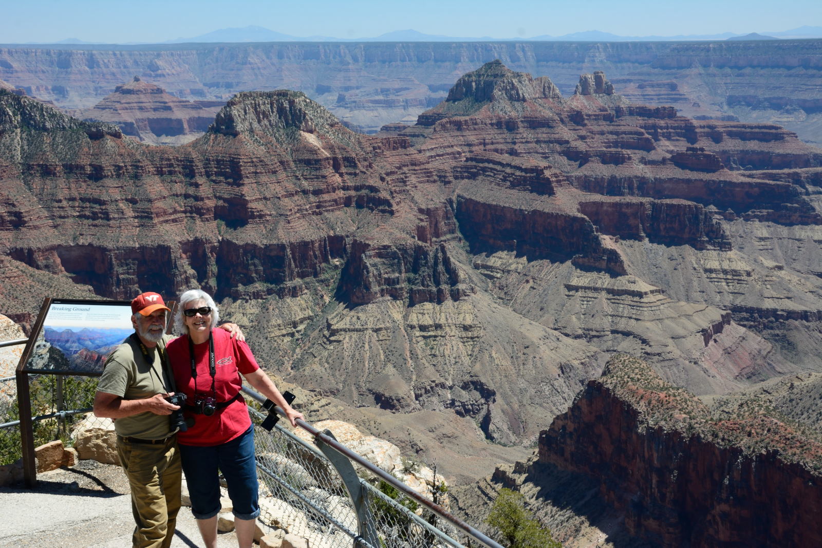
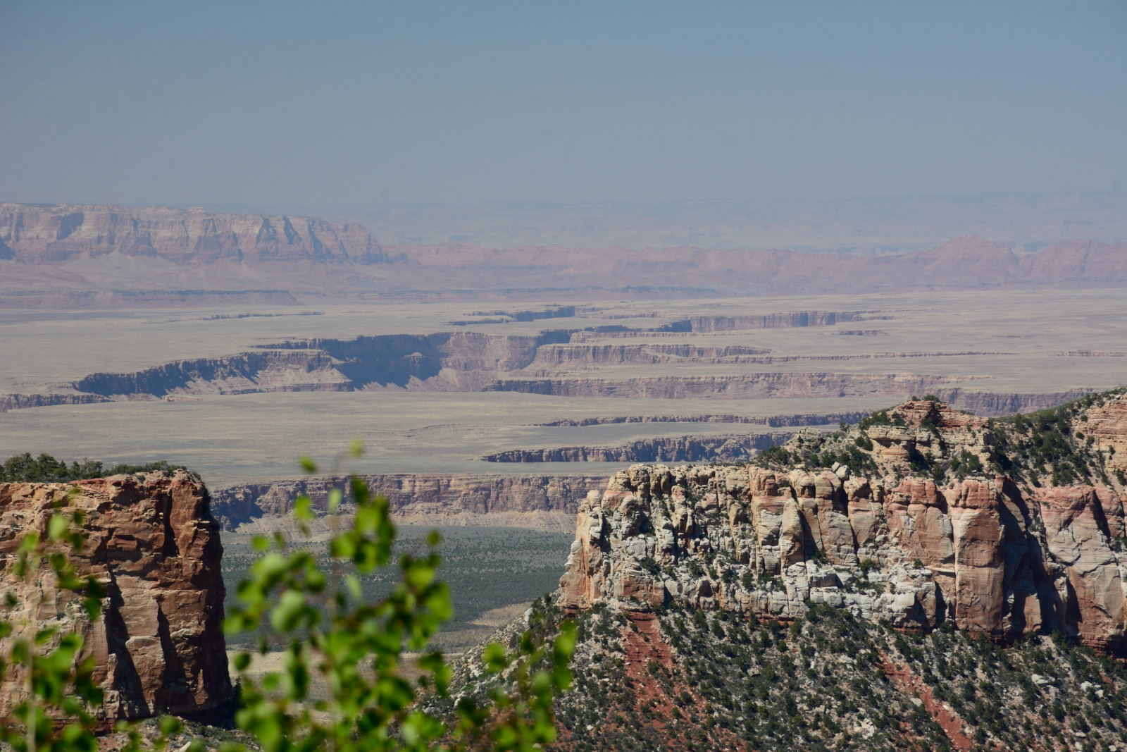
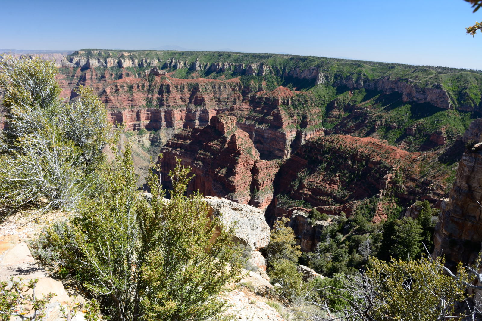
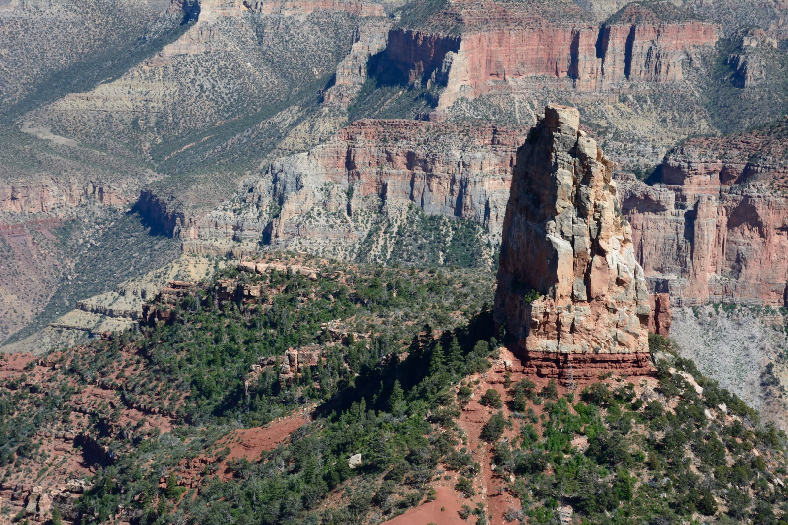
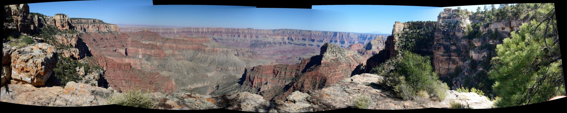
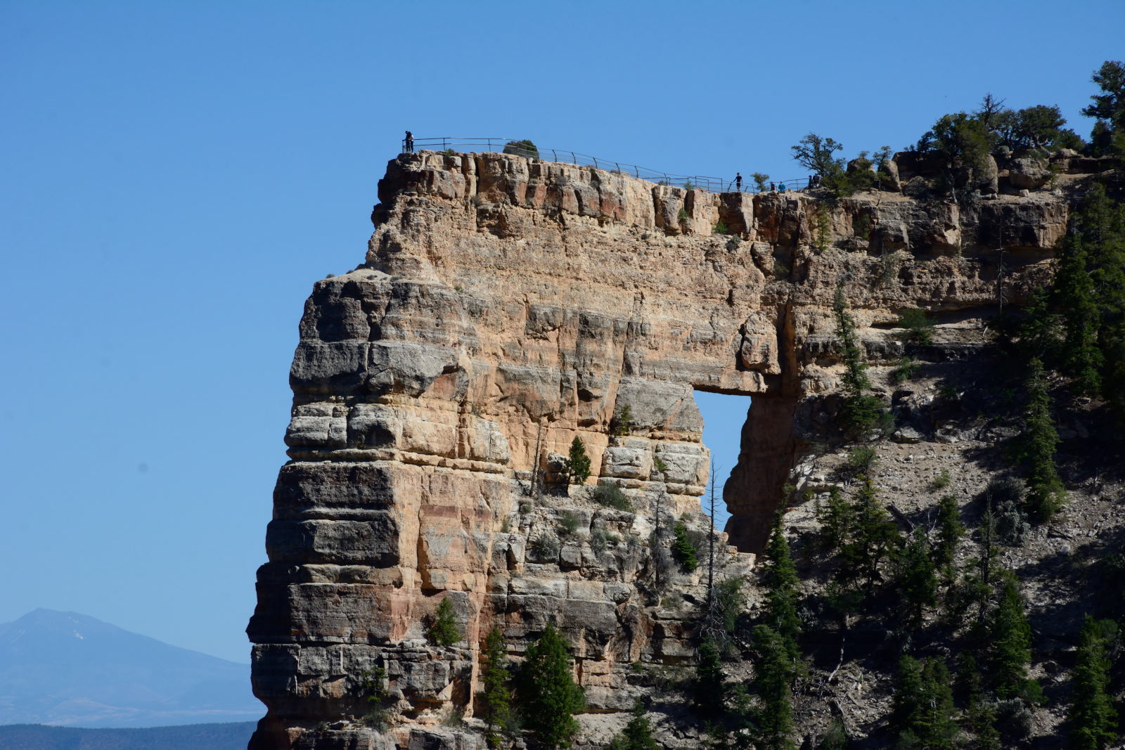
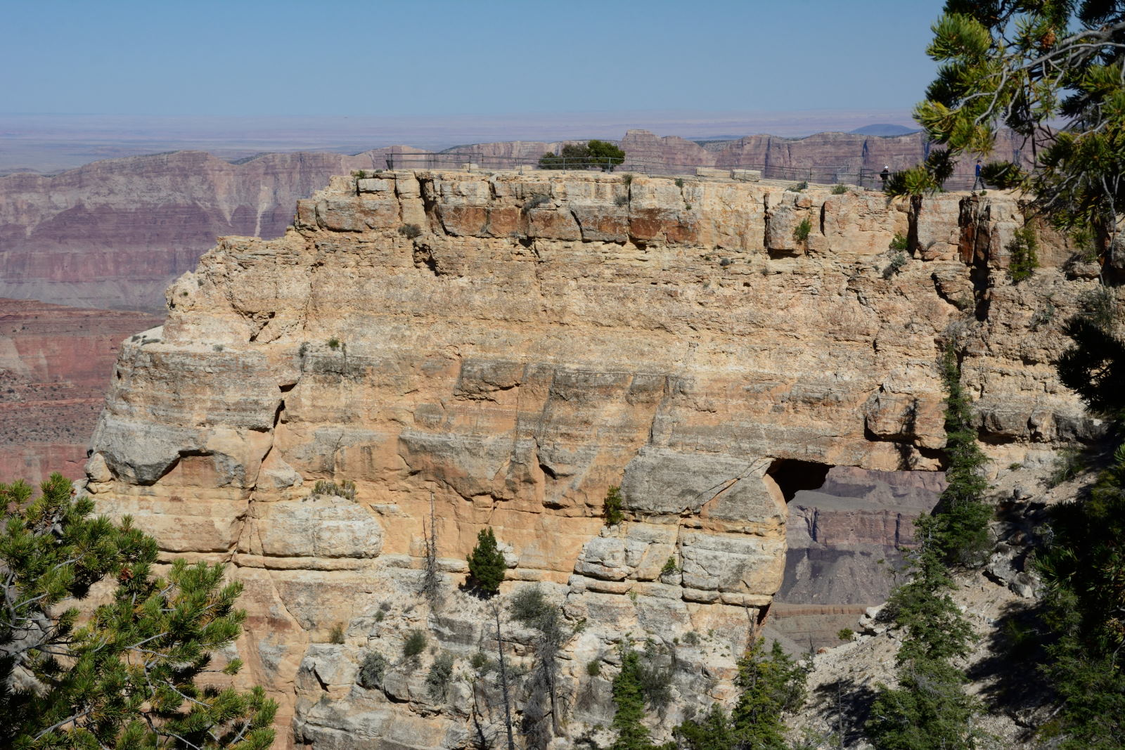
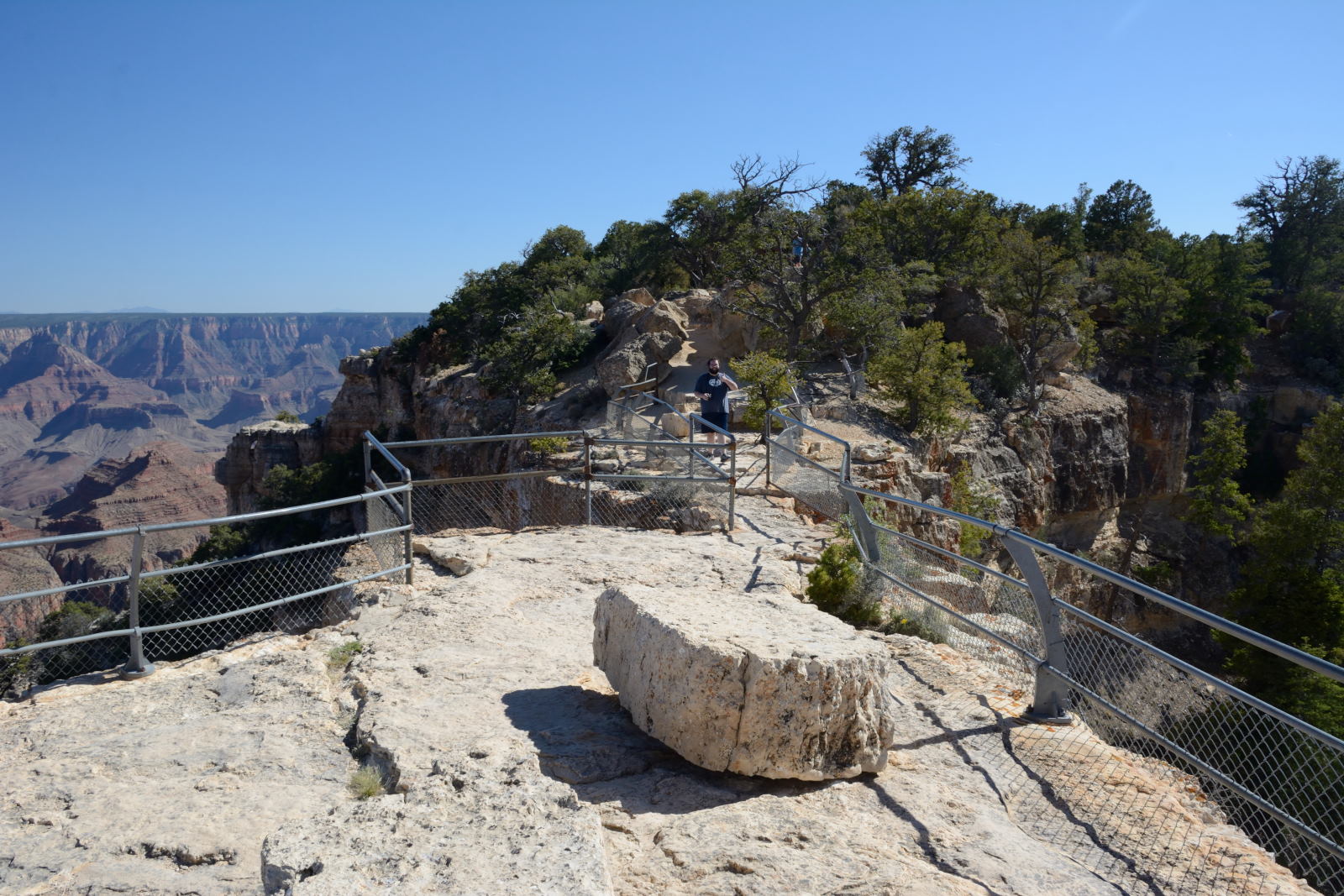
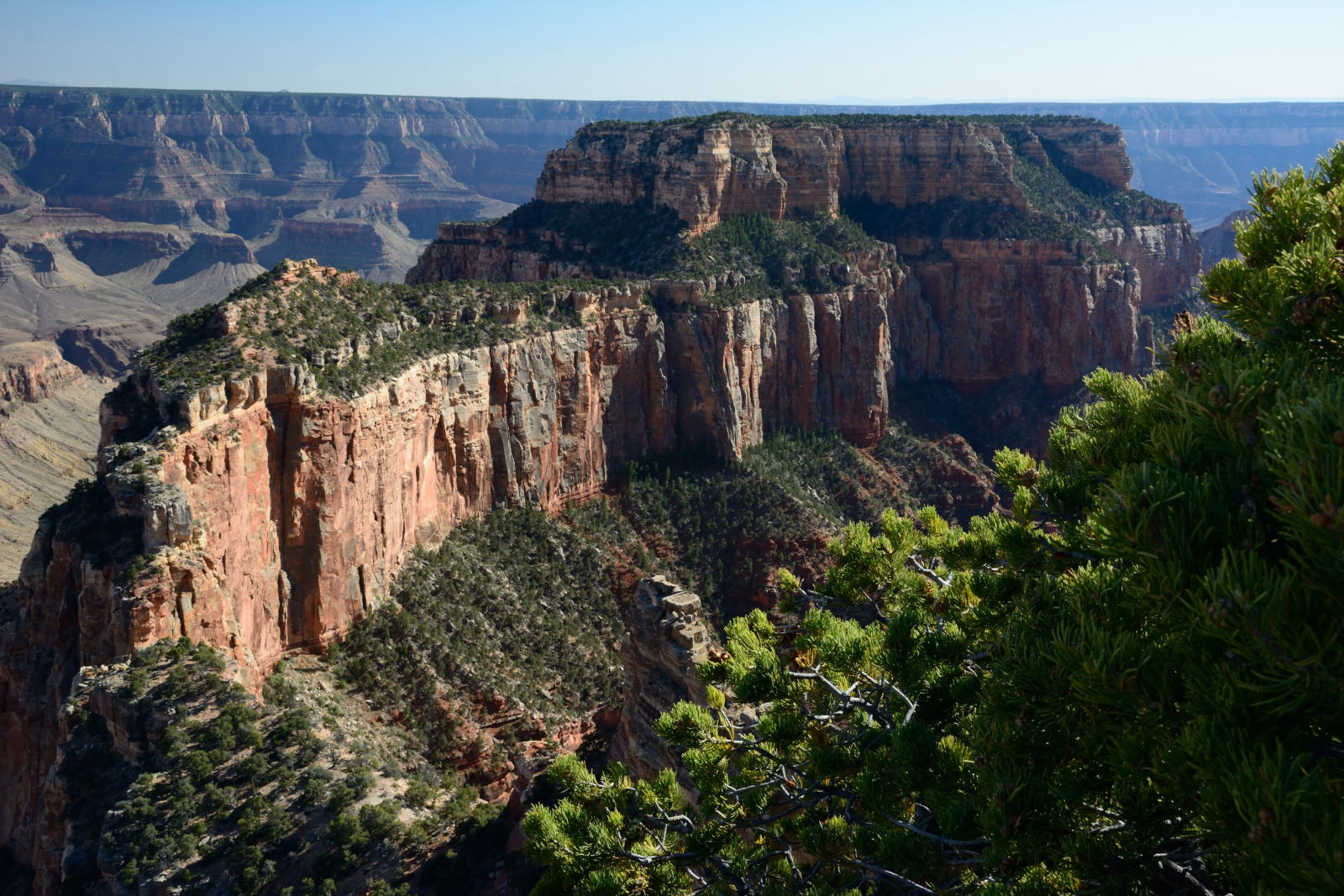
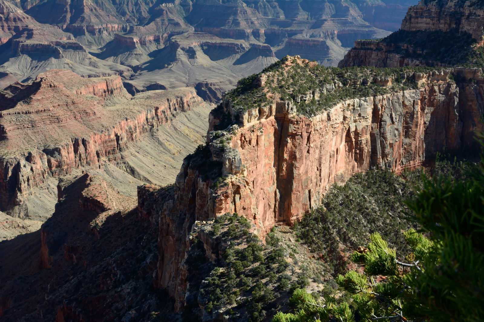
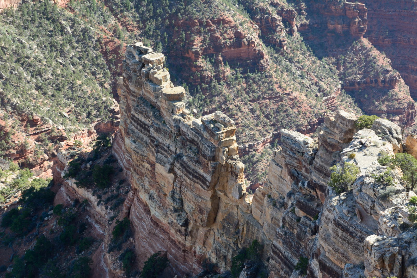
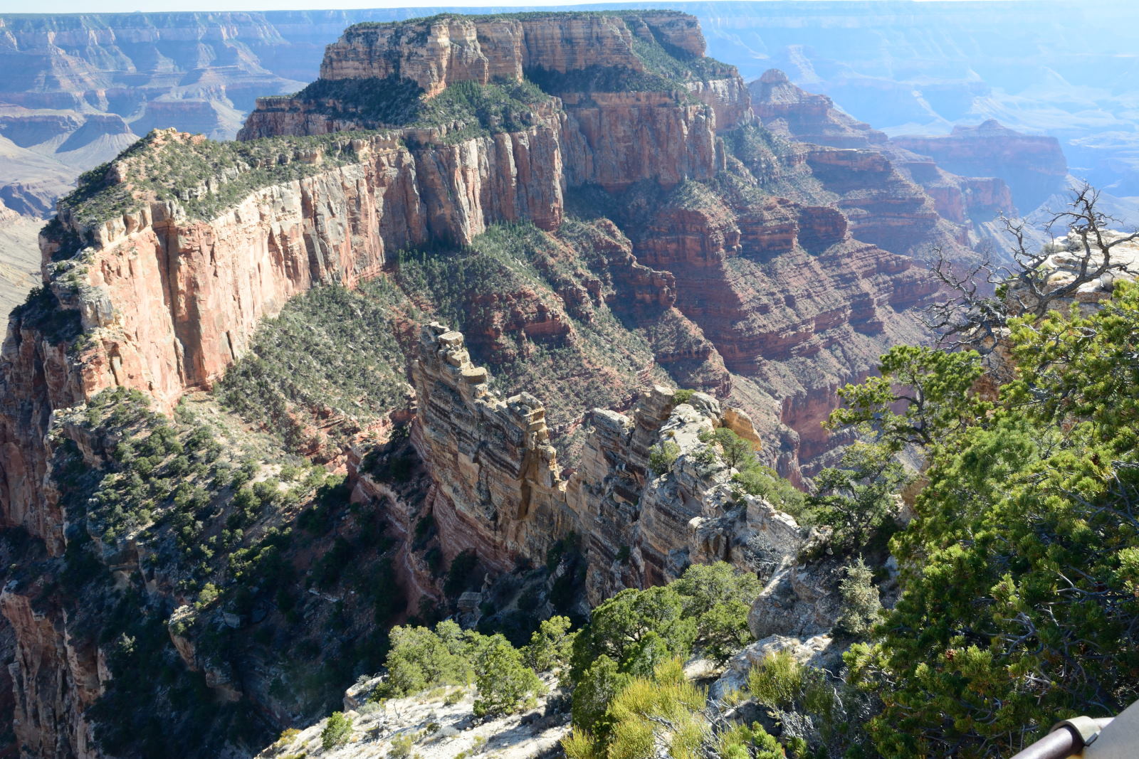
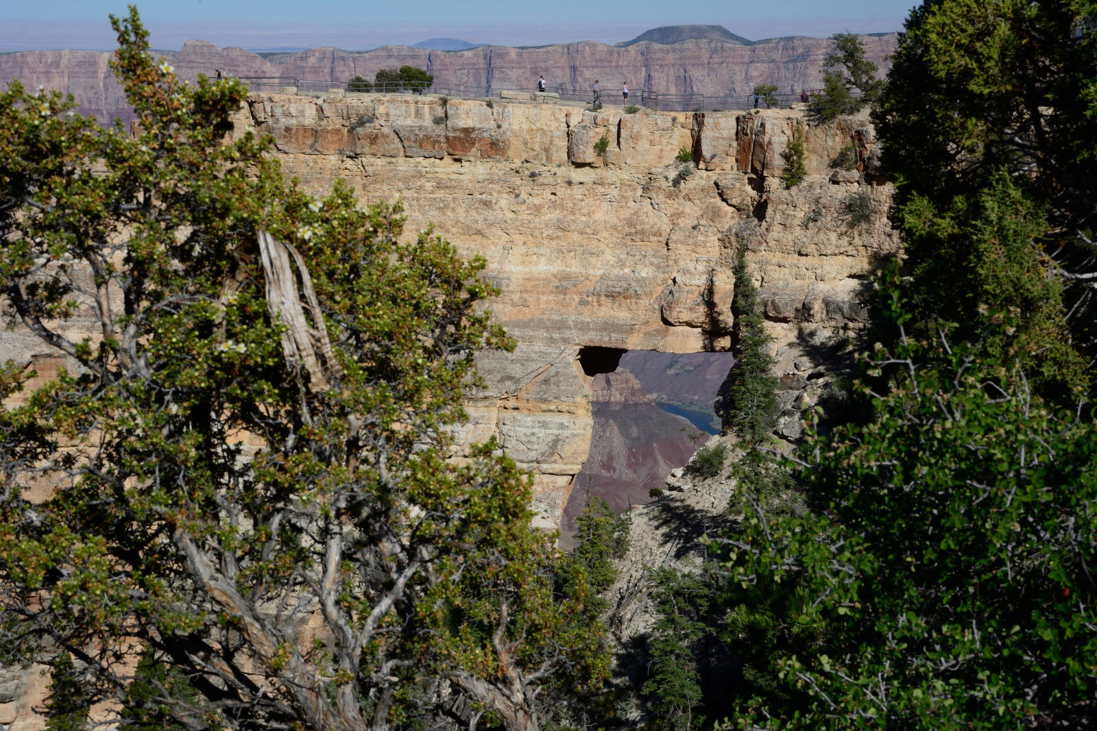
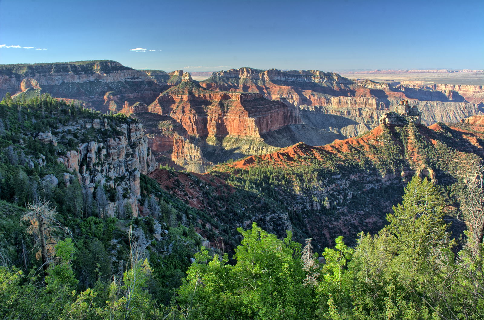
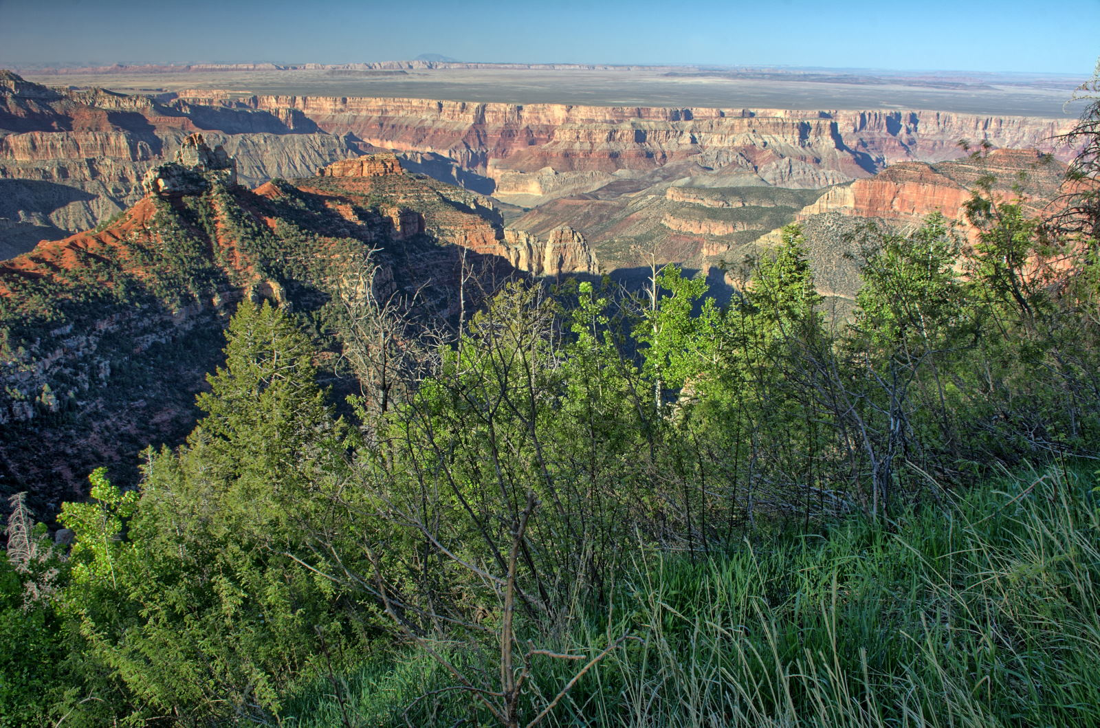
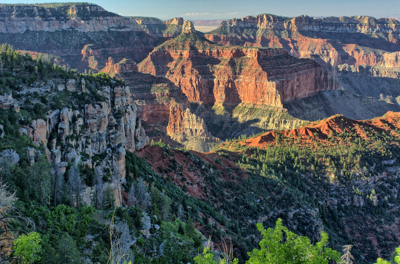
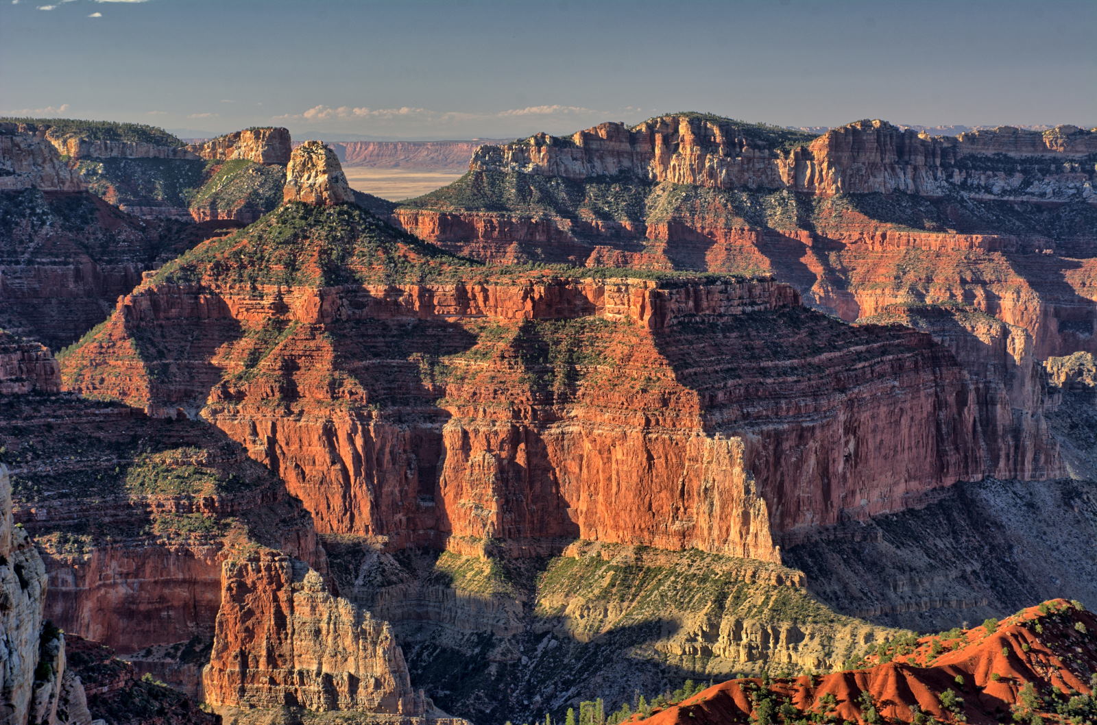
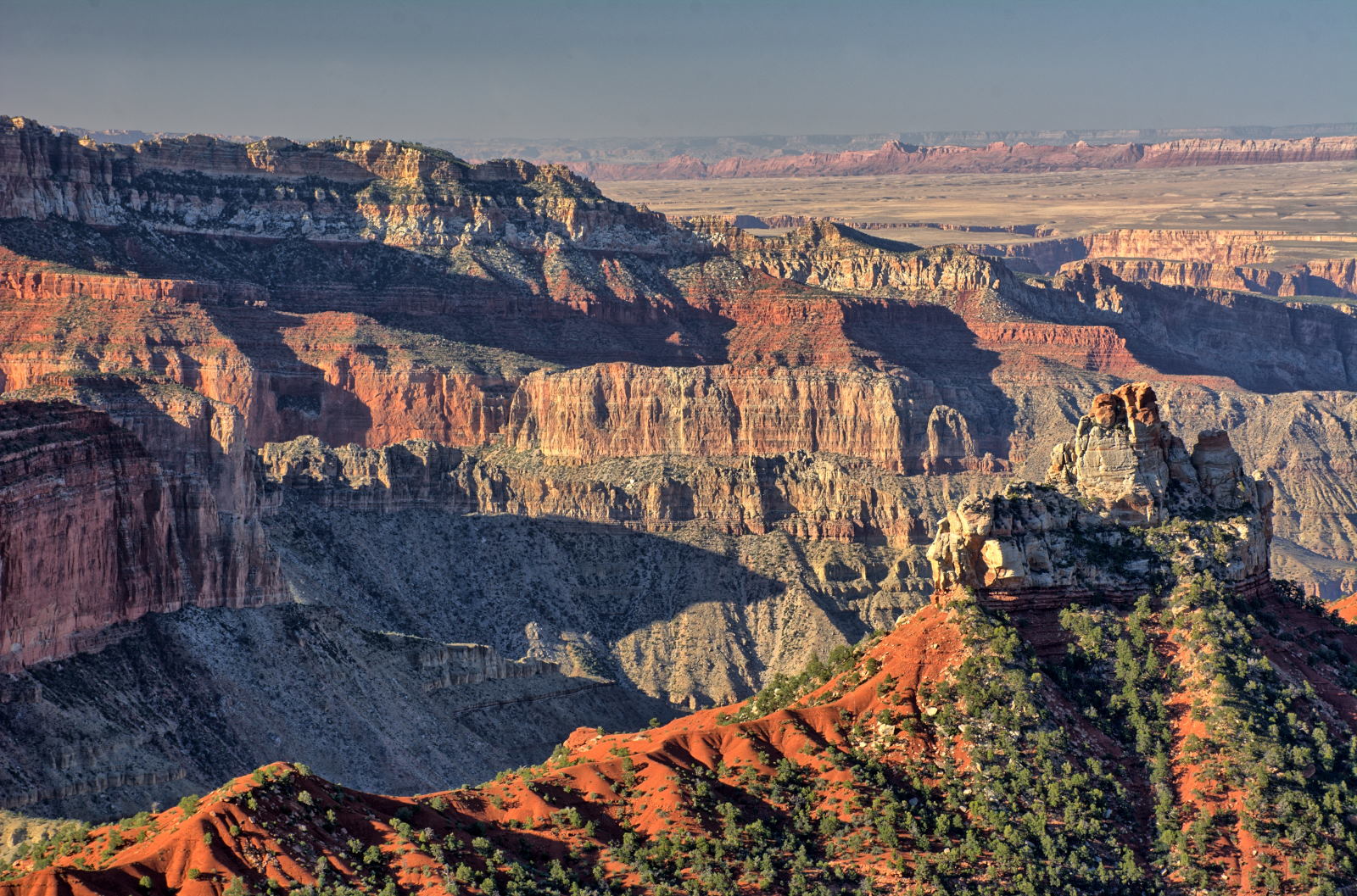
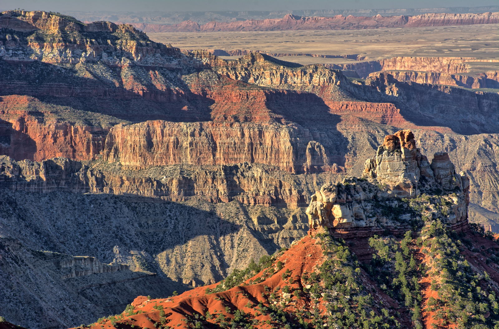
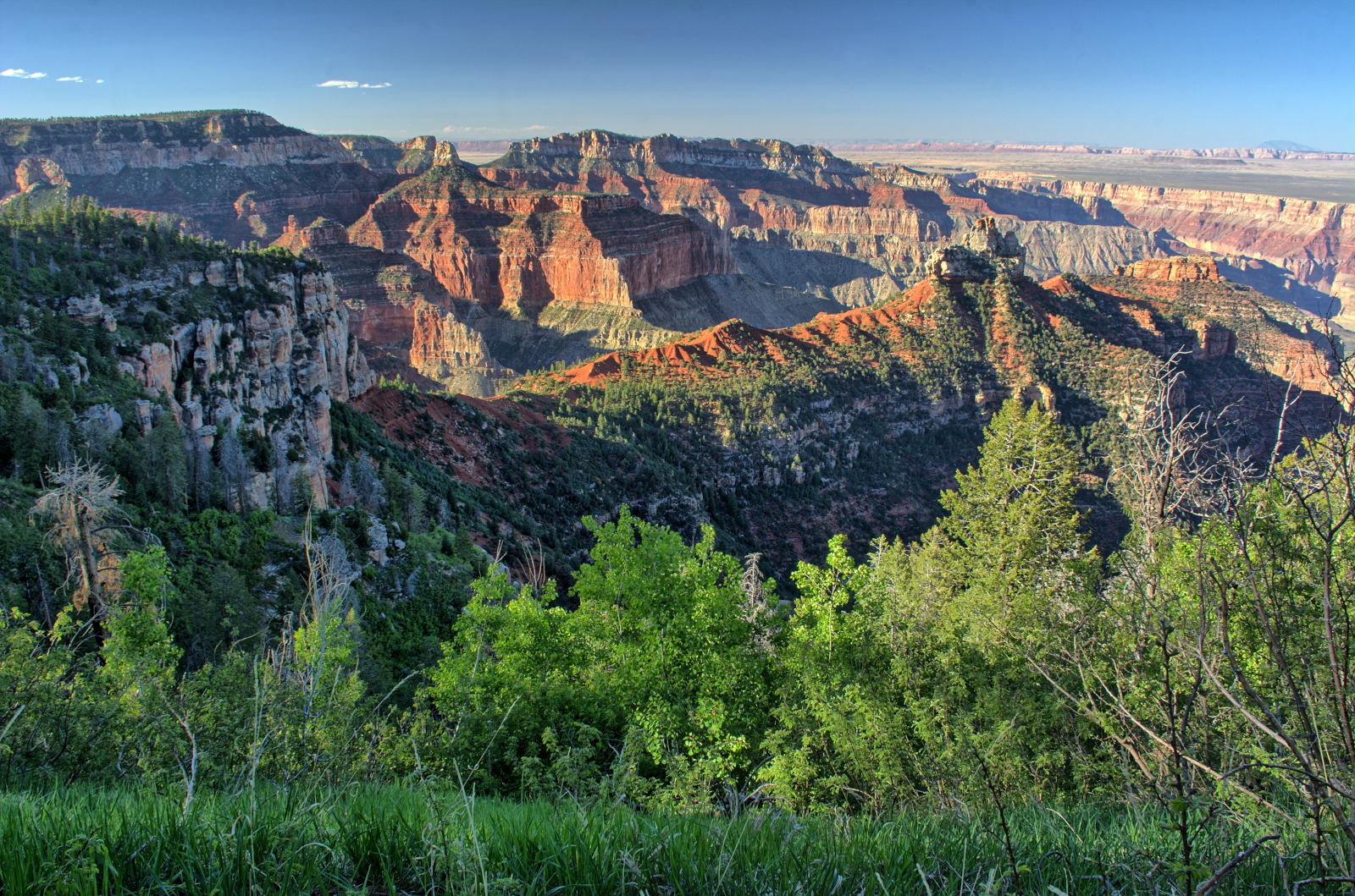
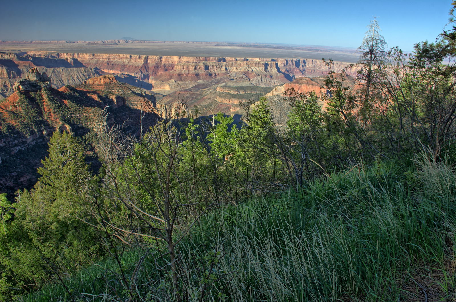
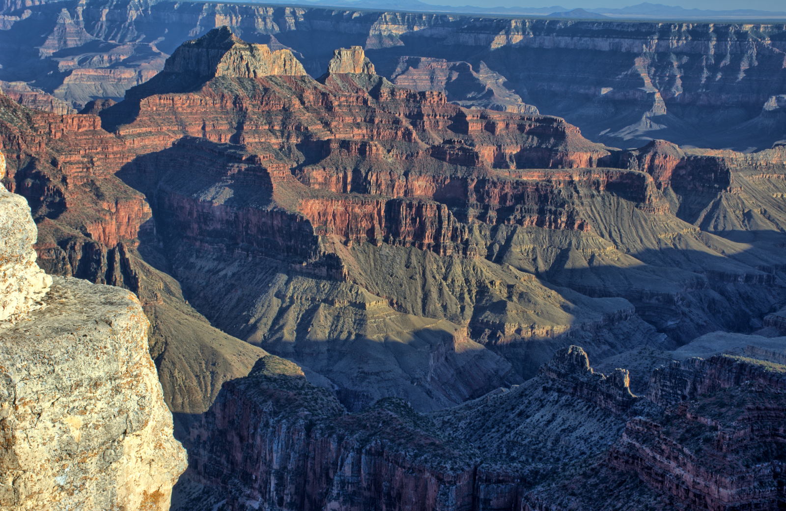
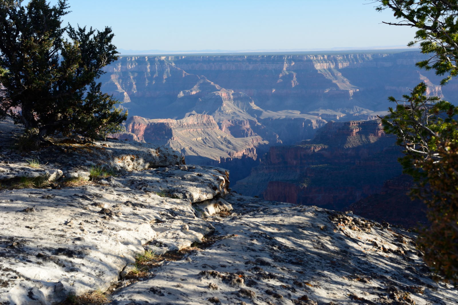
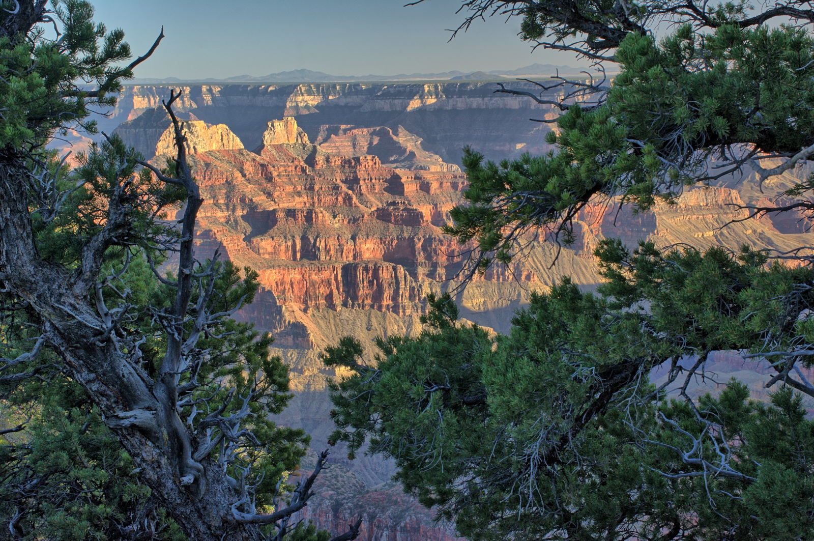
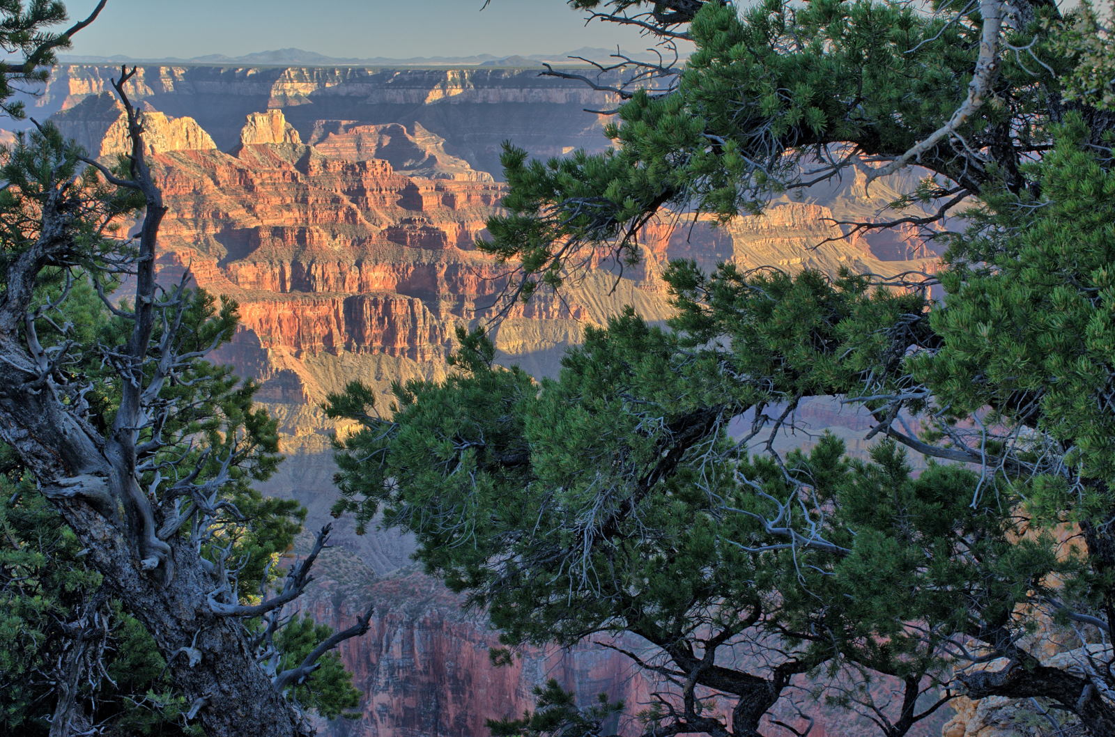
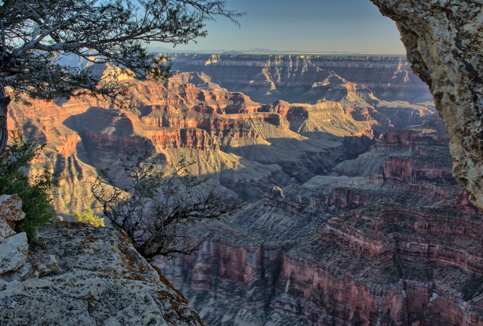
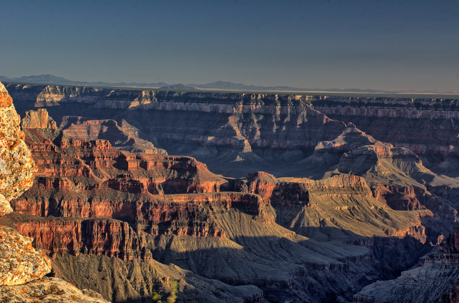
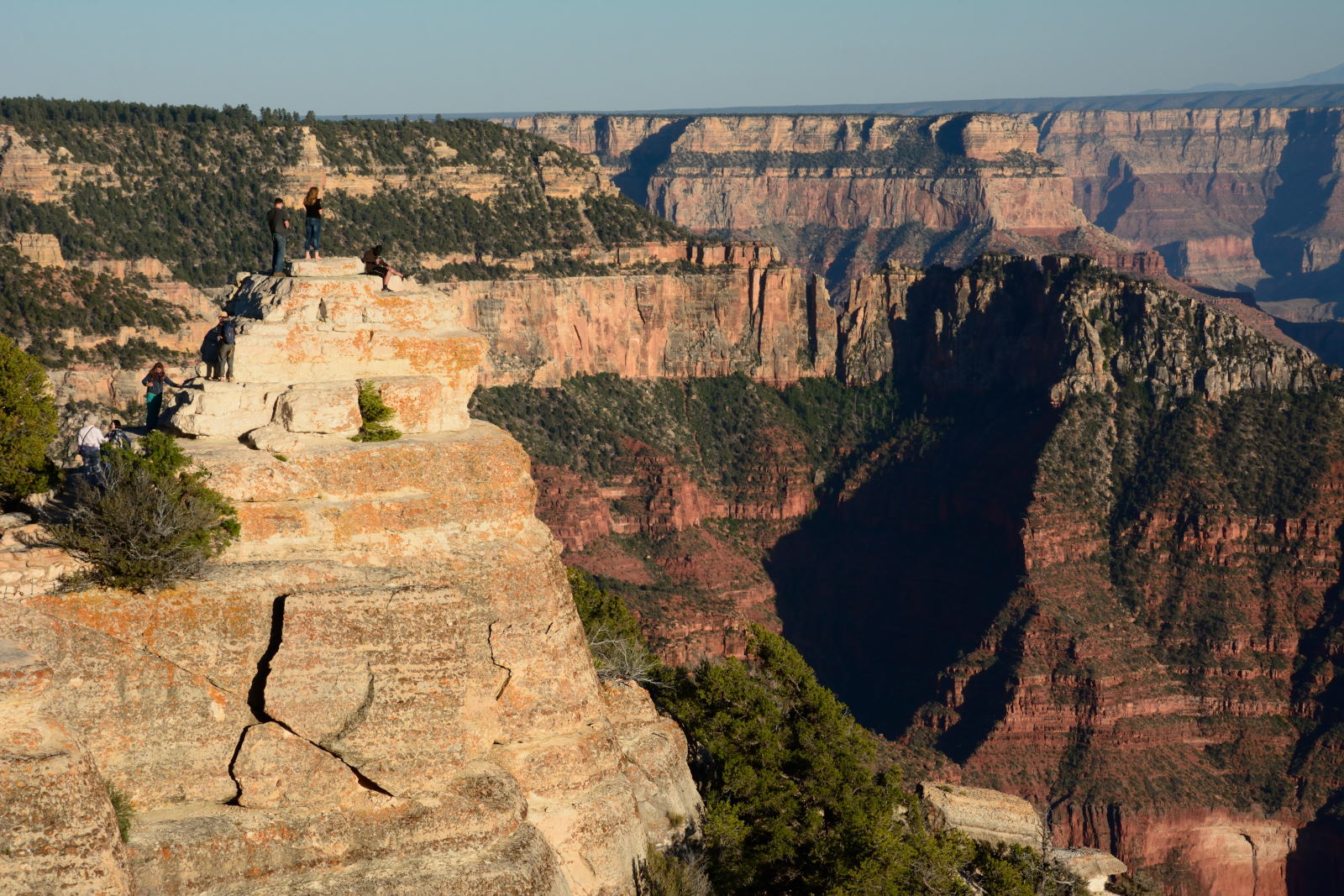
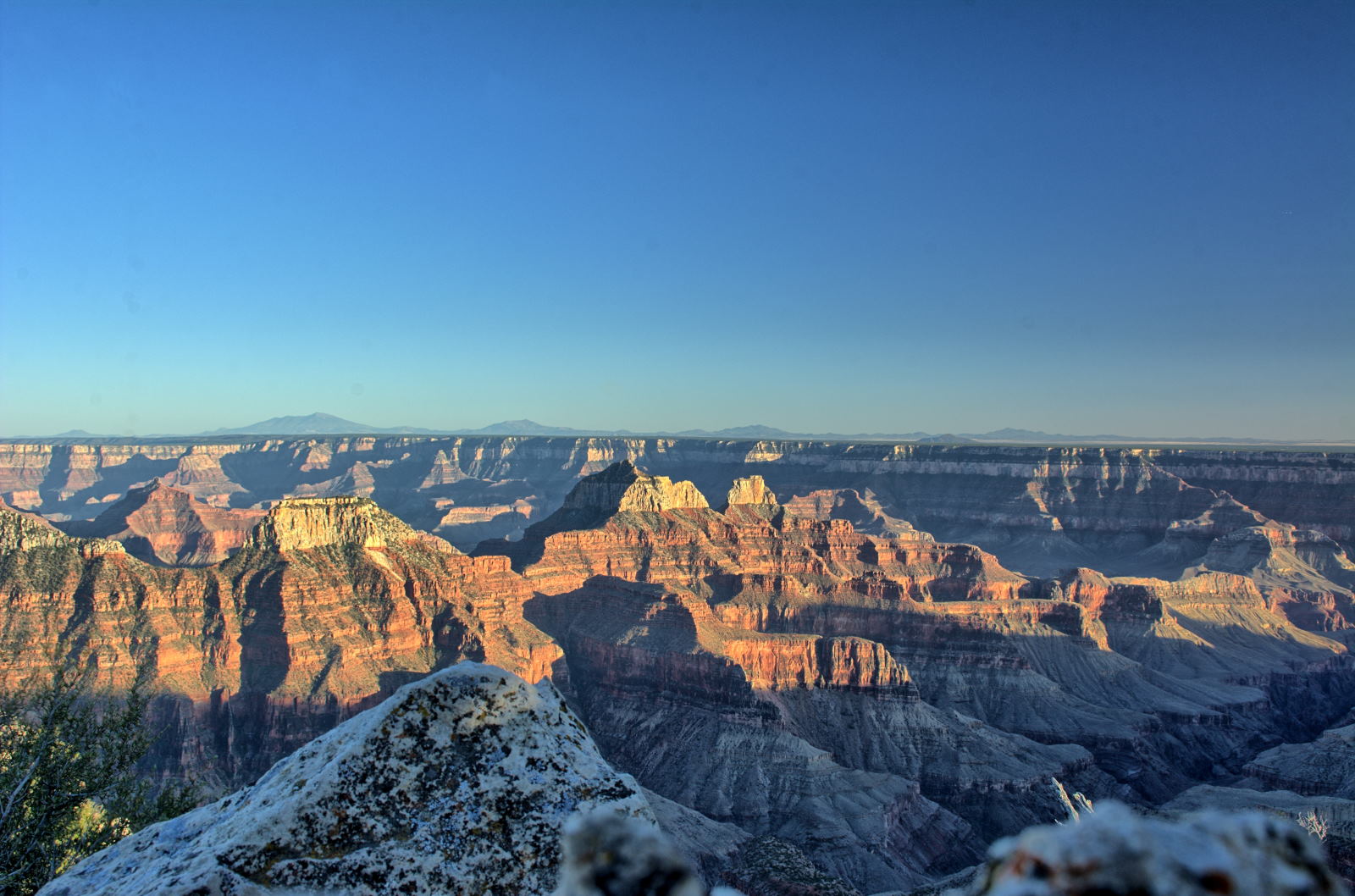
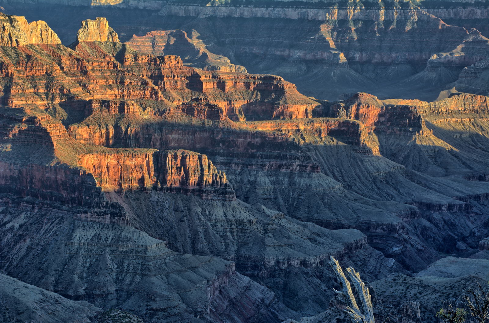
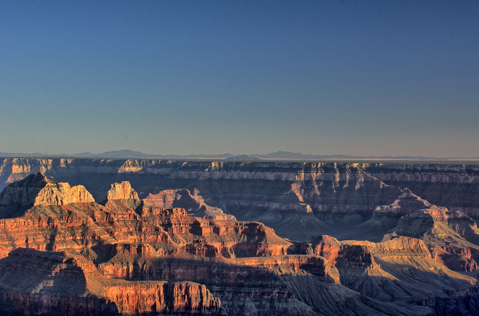
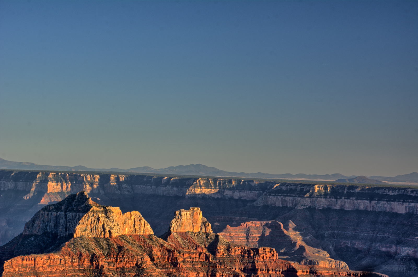
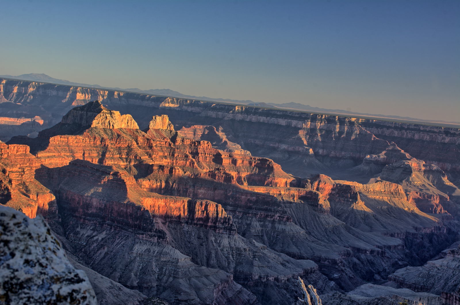
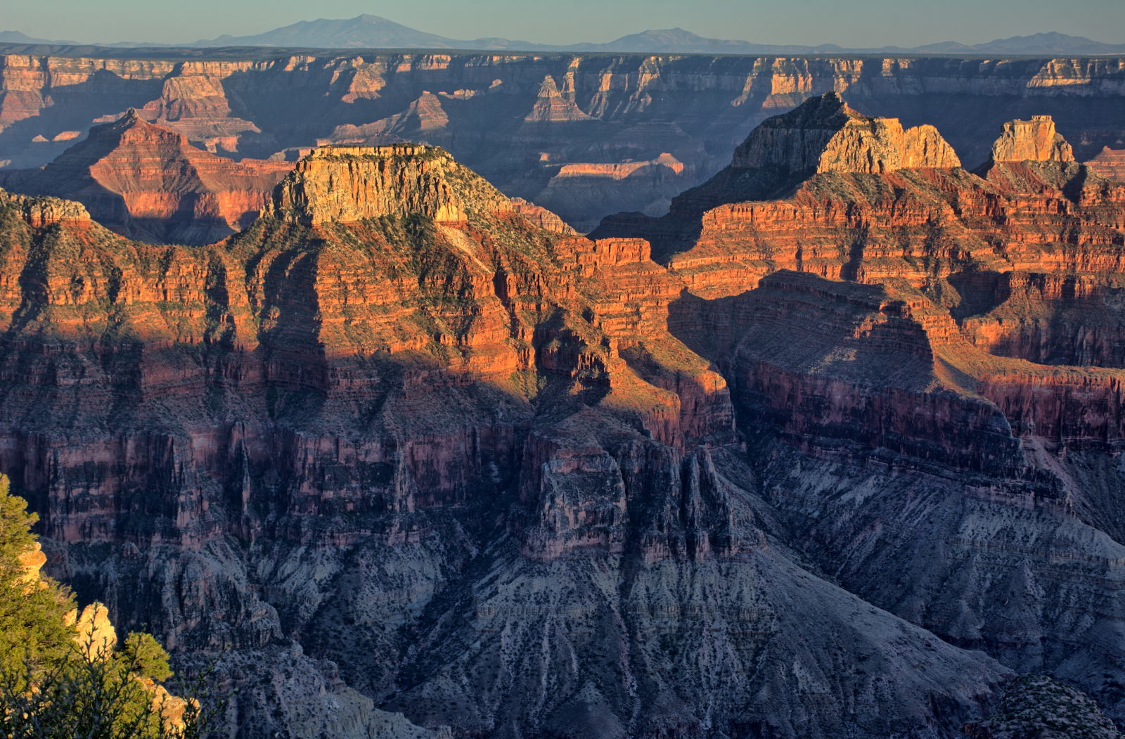
Grand Canyon National Park, North Rim. Bright Angel Point & Point Imperial
Grand Canyon National Park, North Rim. Cape Royal Road
Grand Canyon National Park, North Rim.
Cape Royal Road
Grand Canyon National Park, North Rim. Bright Angel Point sunset
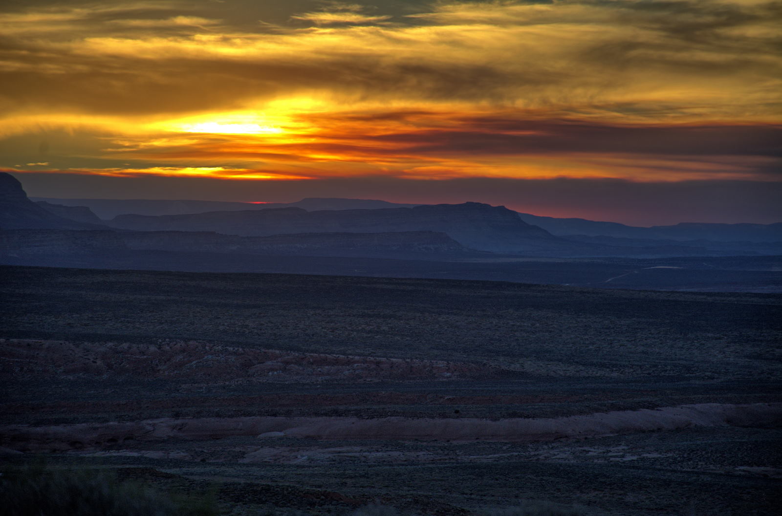
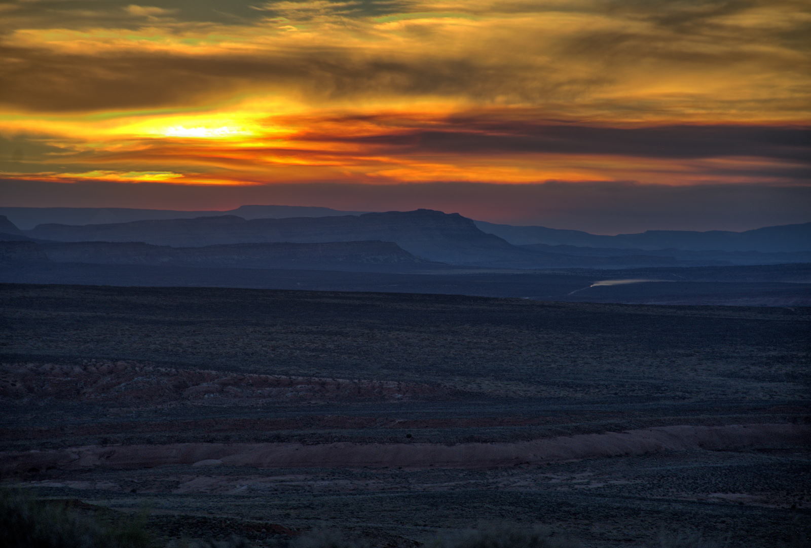
25 May 2018, Friday
Karen and Doug continued to explore the area around Kanab, while
Chris and Nathan were headed to Salt Lake City.
This is a link to the route for their drive from White House Campground, Kanab, UT
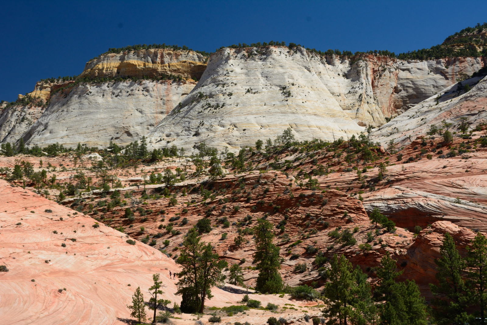
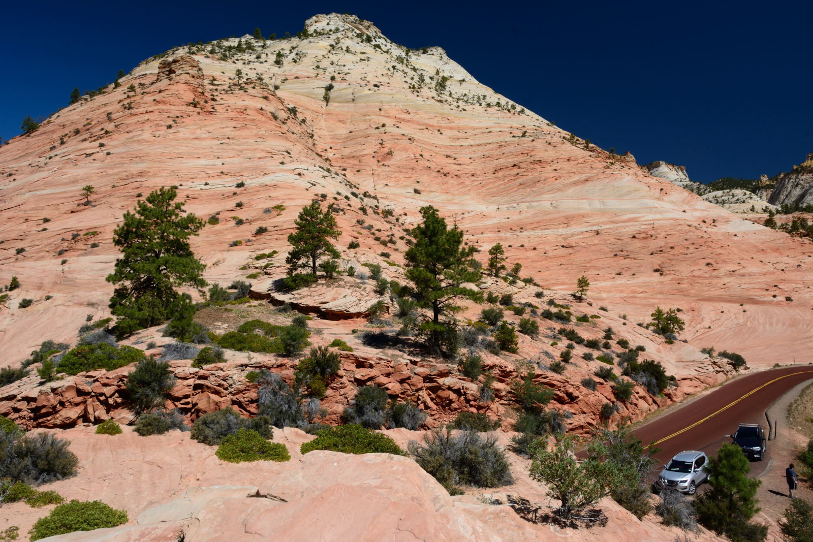
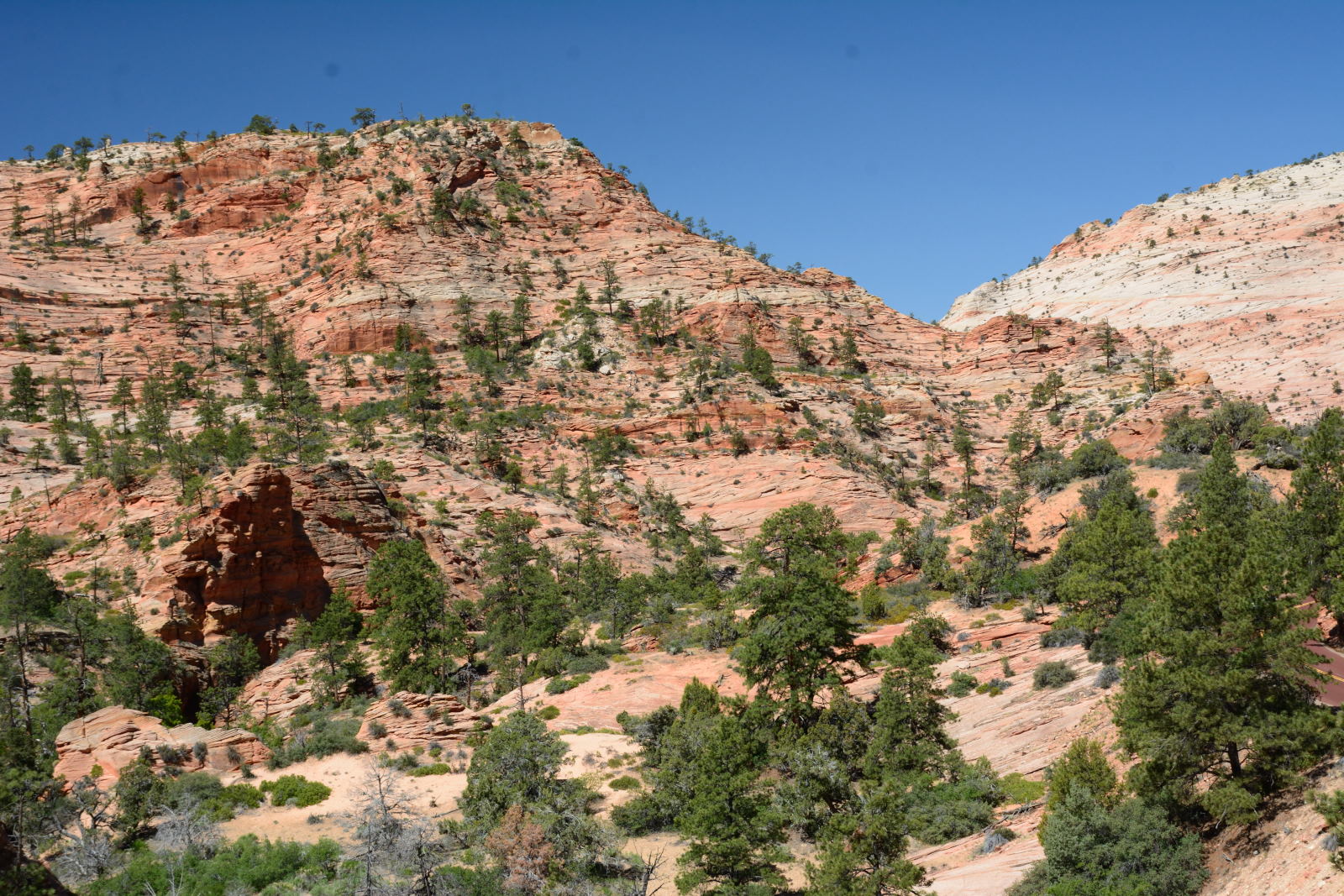
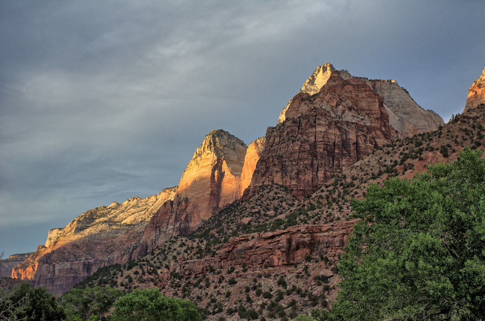
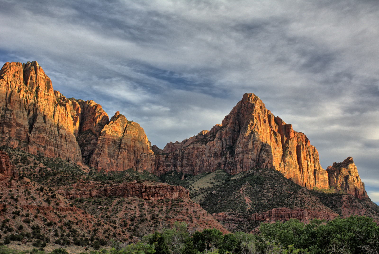
through Zion National Park to Salt Lake City, UT. Chris and Nathan
drove through Zion National Park, and stopped at a few viewpoints along Mt
Carmel Road in the east section of Zion, through the Mt Carmel Tunnel, and down into the
southern section of the main canyon.
They did not get on the shuttle bus to enter the north part of the main canyon,
and continued on
through Springdale, west to I-15, and north to Salt Lake City.
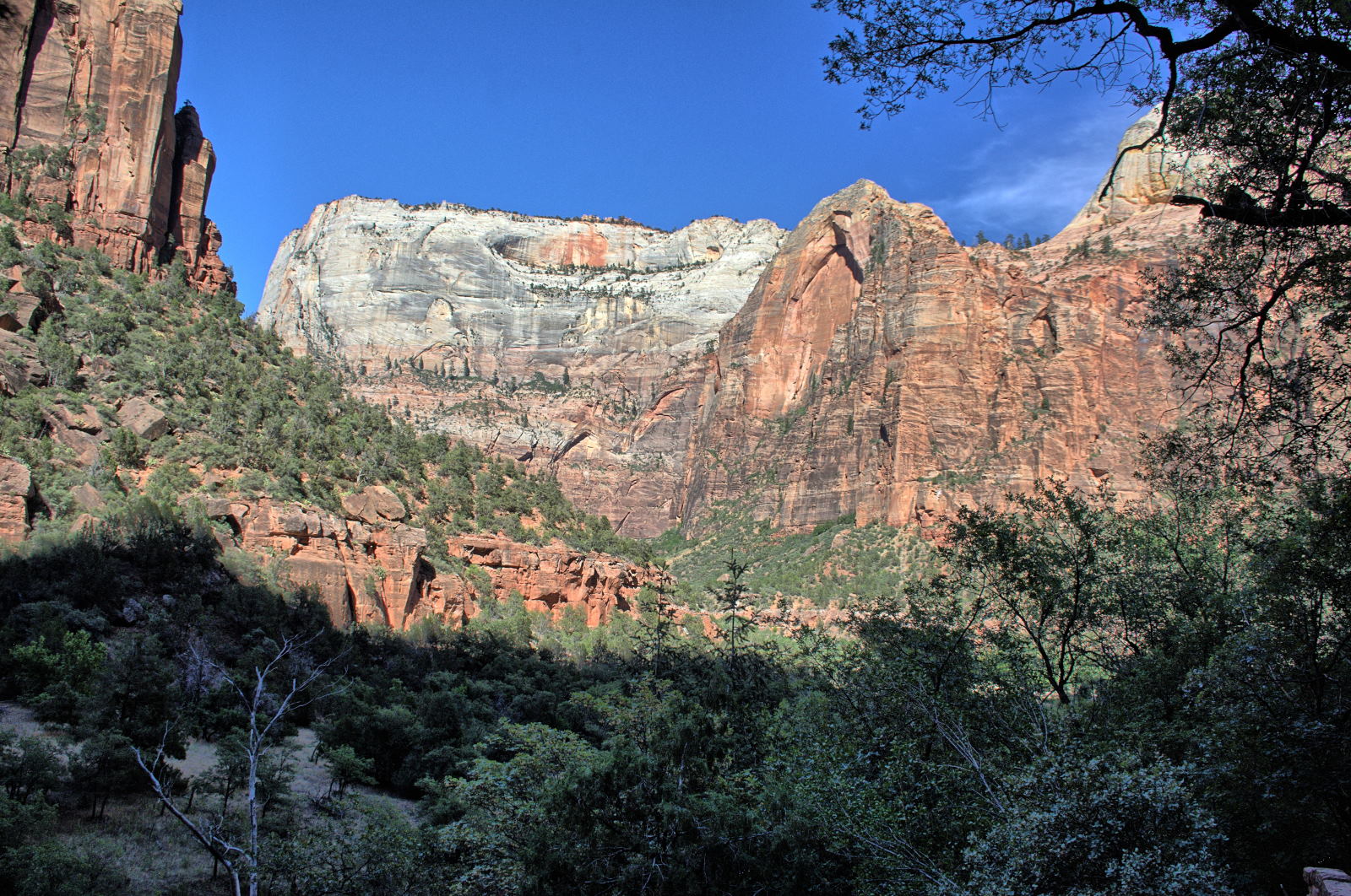
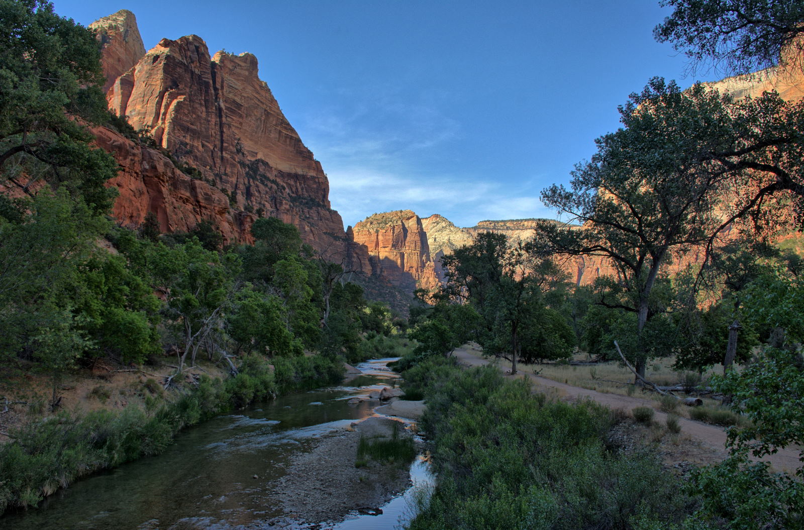
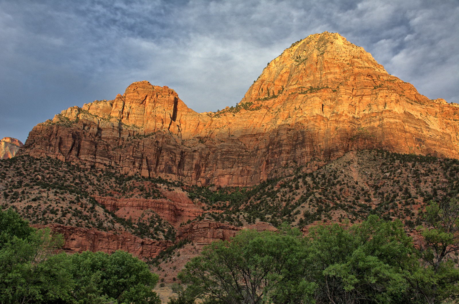
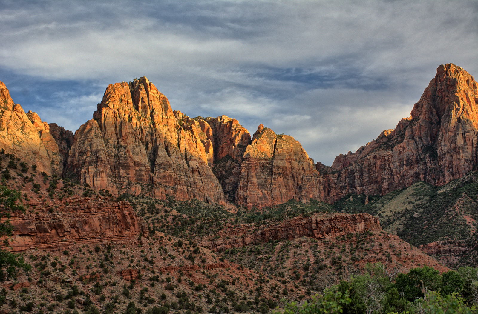
Zion National Park. Mt Carmel Road.
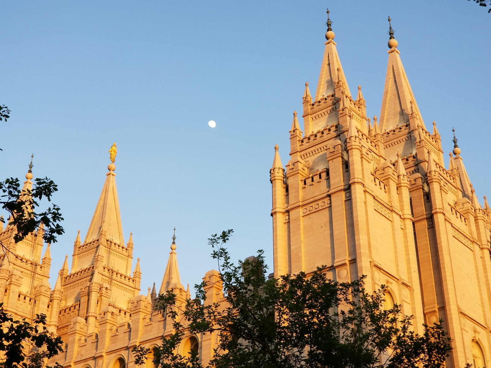
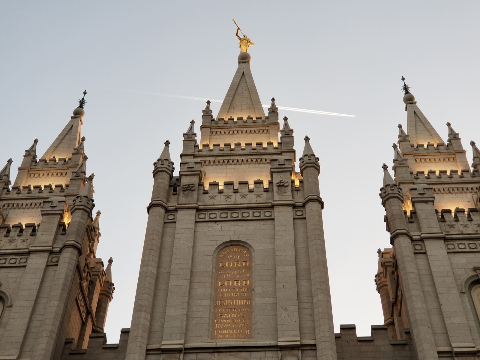
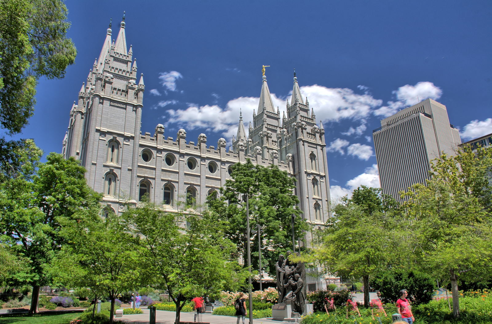
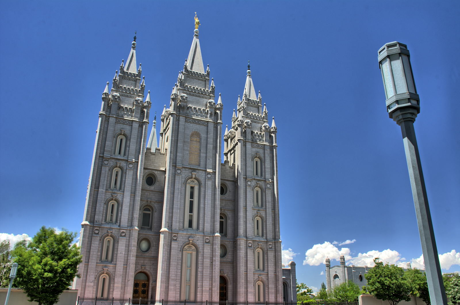
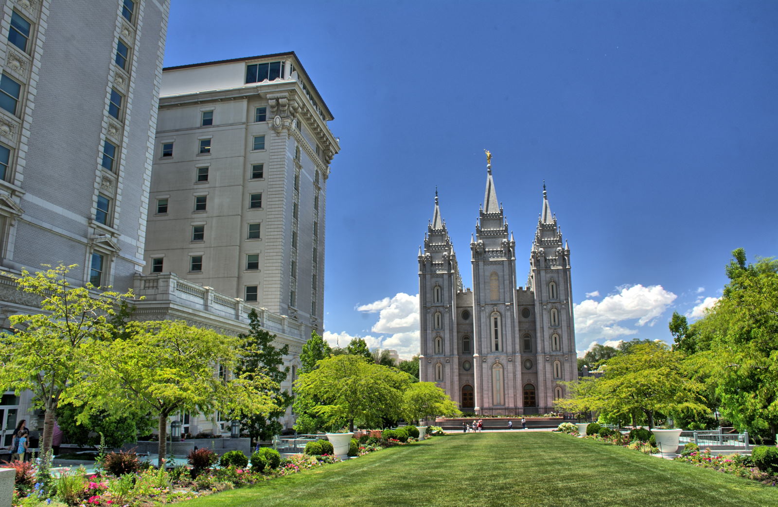
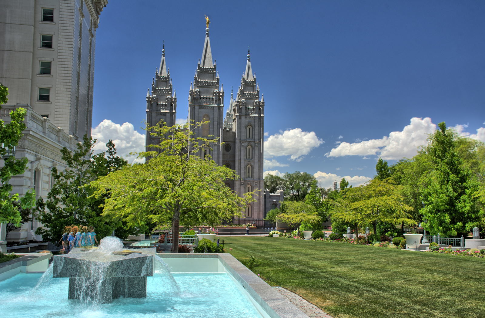
They arrived into Salt Lake City, checked into their hotel, and cleaned
up after camping for the last several days. They headed across town to Bombay House for an Indian food dinner, which was
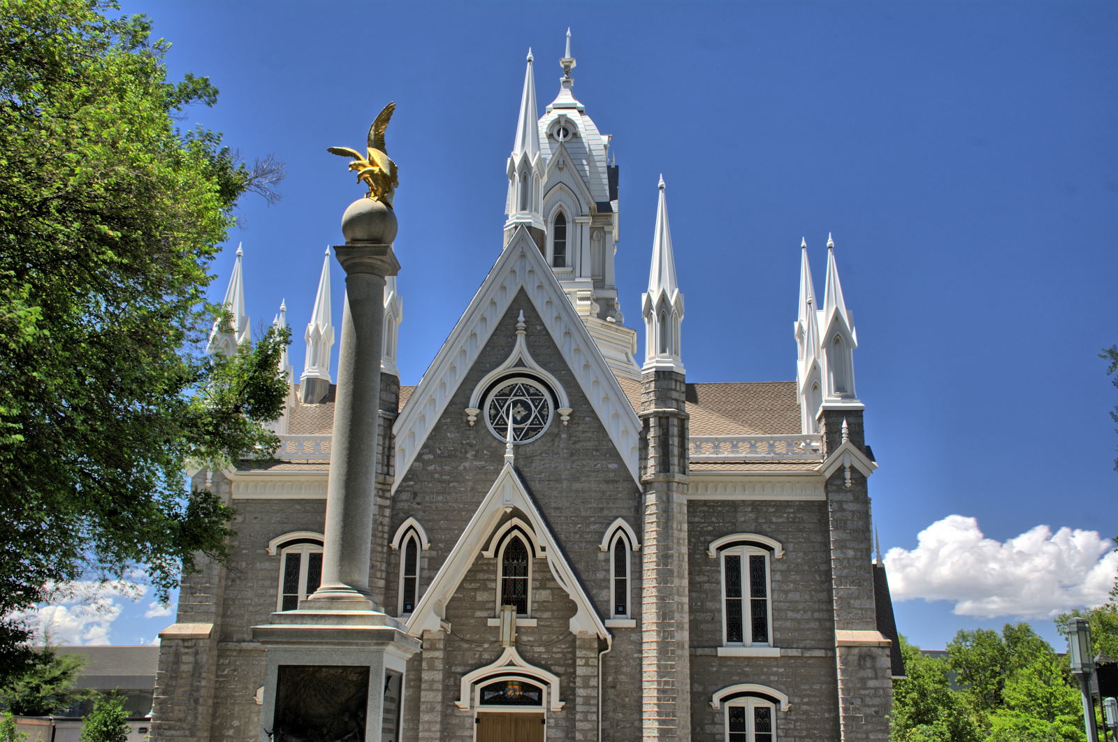
very good. Chris decided to stop into Temple Square on the way back to the
hotel, to let Nathan see Temple Square. They went into the Mormon Tabernacle
to find an organ recital in progress. It was beautiful to listen to one of the best
organists in the
world playing on the giant organ in the Tabernacle.
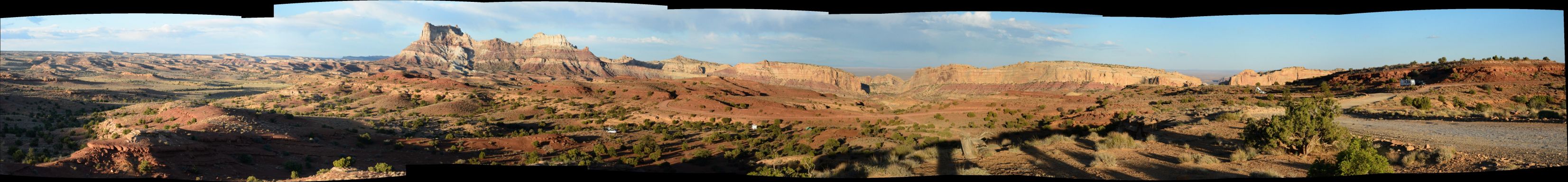
Chris got up and flew one of his RC planes out over the canyon to capture
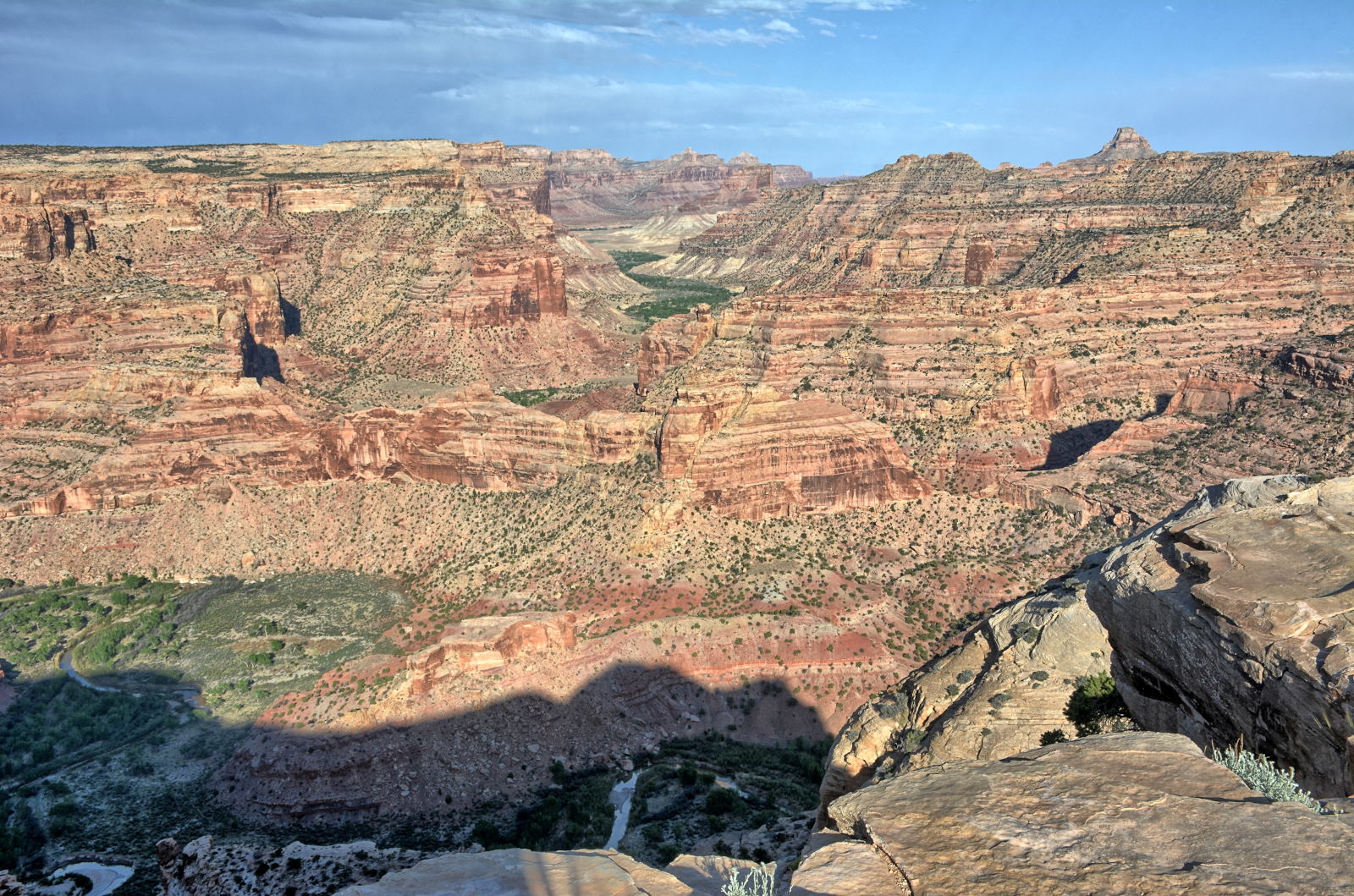
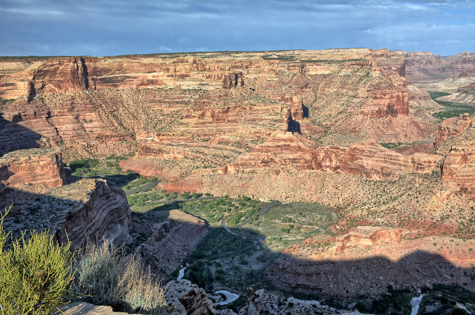
some aerial video just a bit after sunrise. He then drove to Buckhorn Draw and drove south across the San Rafael Swell on Buckhorn Draw Road to
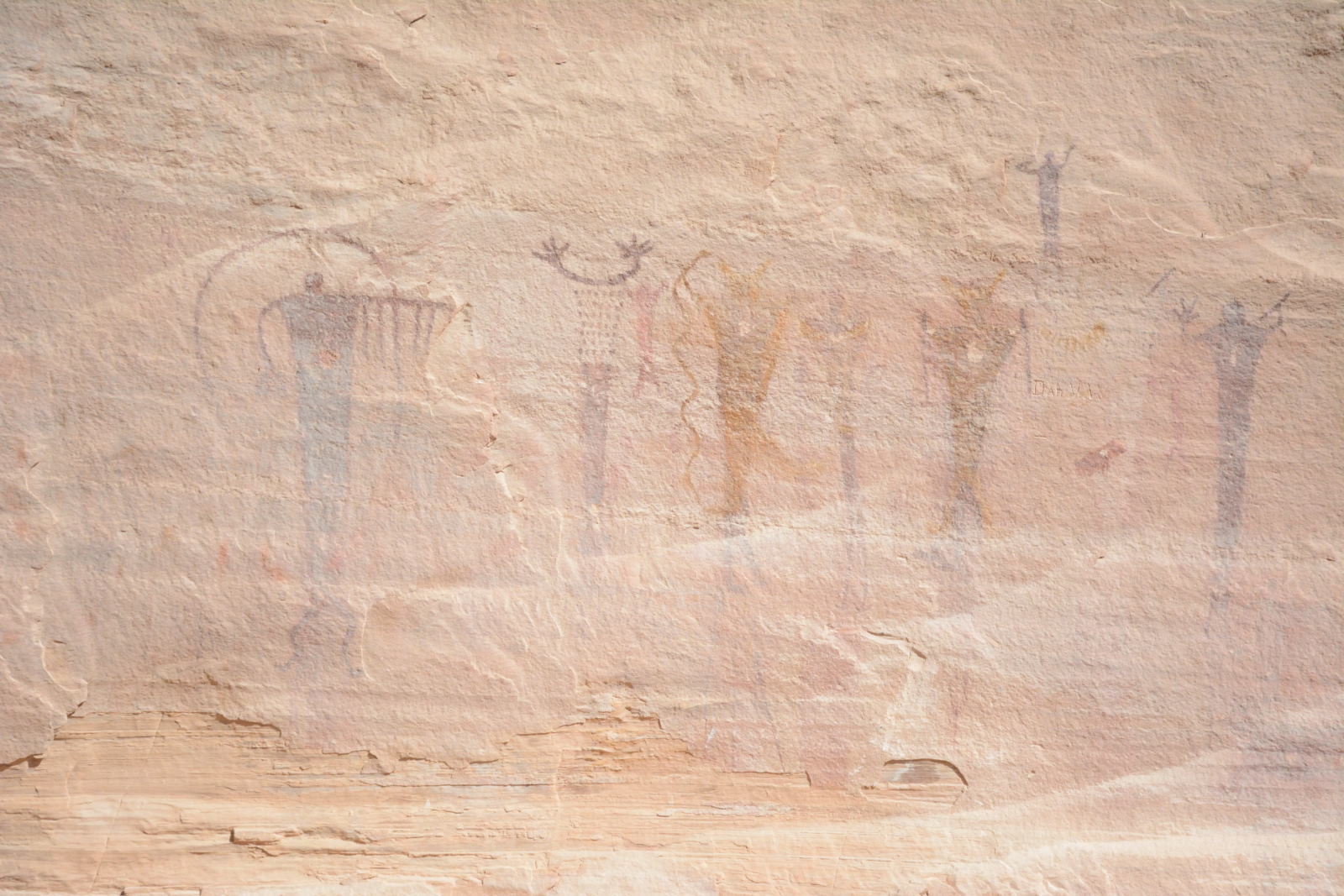
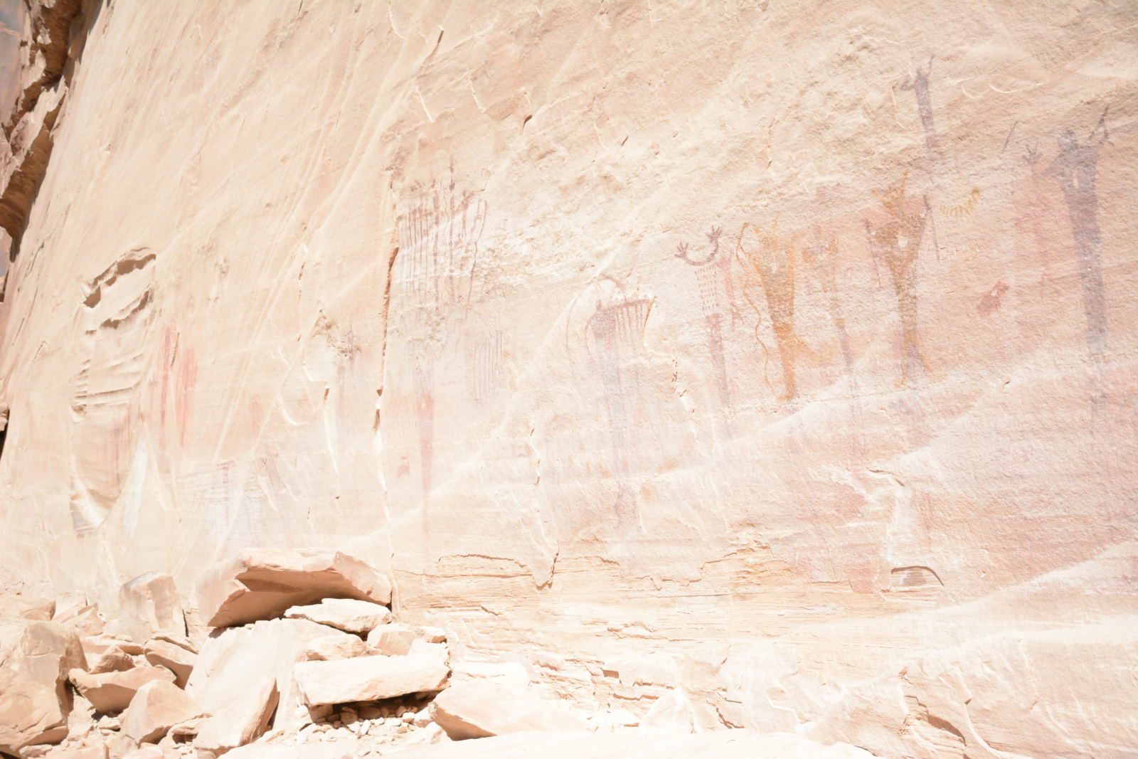
I-70, and then a few miles further south on Temple Mount Road to Crawford Draw.
There are several locations with ancient pictographs in
Buckhorn Draw. One section is right next to the road a few miles north of
the San Rafael River. The information panel describes the painting and
carvings as being separated by 1000 years, having been placed there by two
separate cultures that far apart in time.
Pictographs in Buckhorn Draw
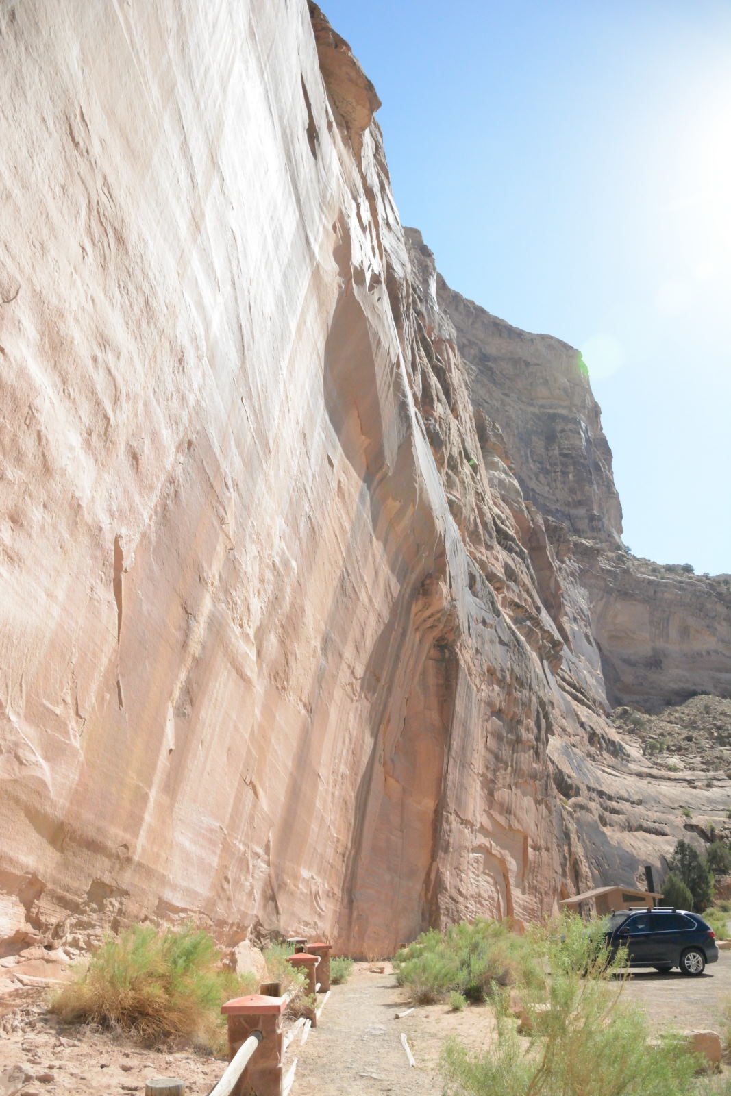
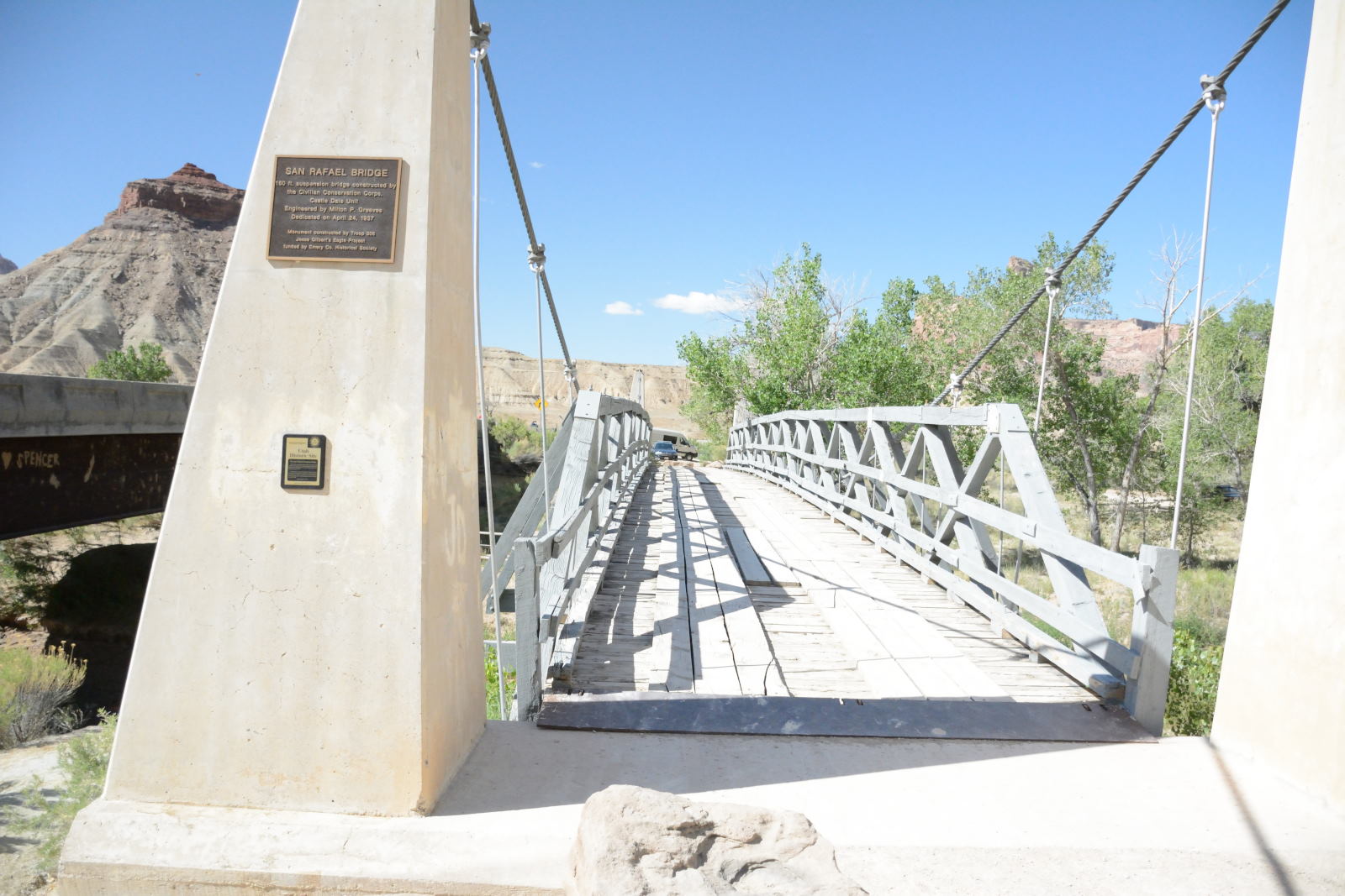
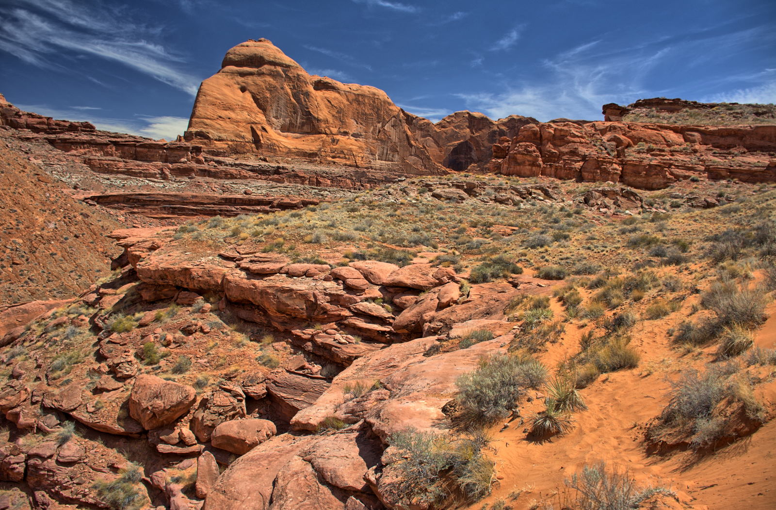
While driving Buckhorn Draw south across the San Rafael Swell,
Chris crossed over the San Rafael River and stopped to fly a few of his planes
to capture more aerial video. The road crosses the river on a modern
bridge, and right next to it is the original 'swinging' bridge from 1937, which is now open
only for pedestrian traffic. The scenery in these aerial videos is
incredible, with immense buttes rising over a thousand feet from the valley
floor.
San Rafael River Bridge, new bridge to the left, original swinging bridge from
1937 in center
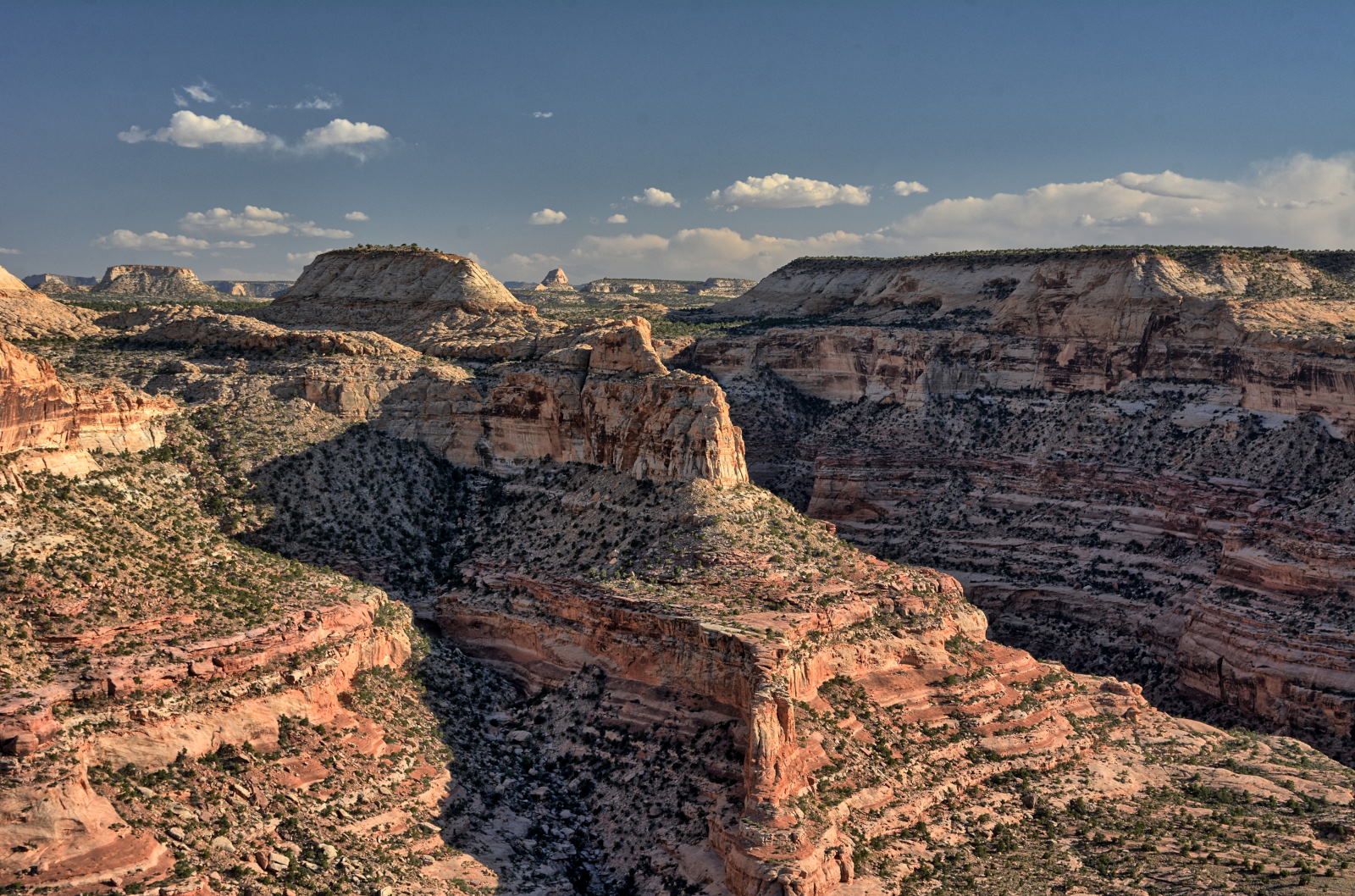
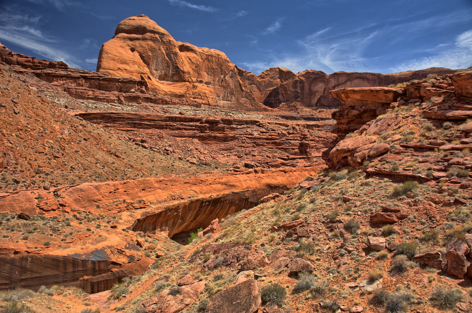
Chris drove across the north end of the San Rafael Swell on Buckhorn Draw
Road to I-70, and then crossed under I-70 to get on Temple Mount Road.
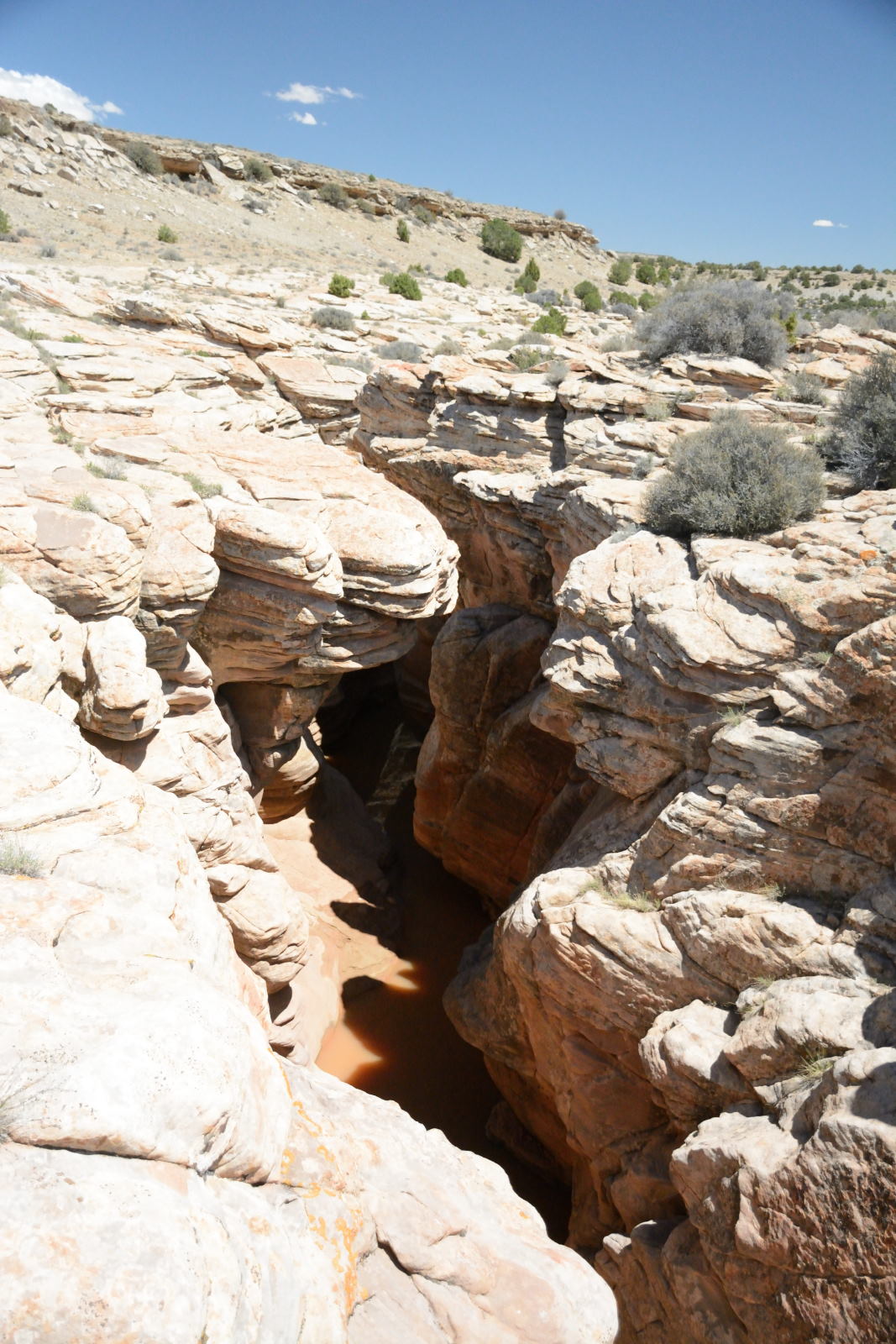
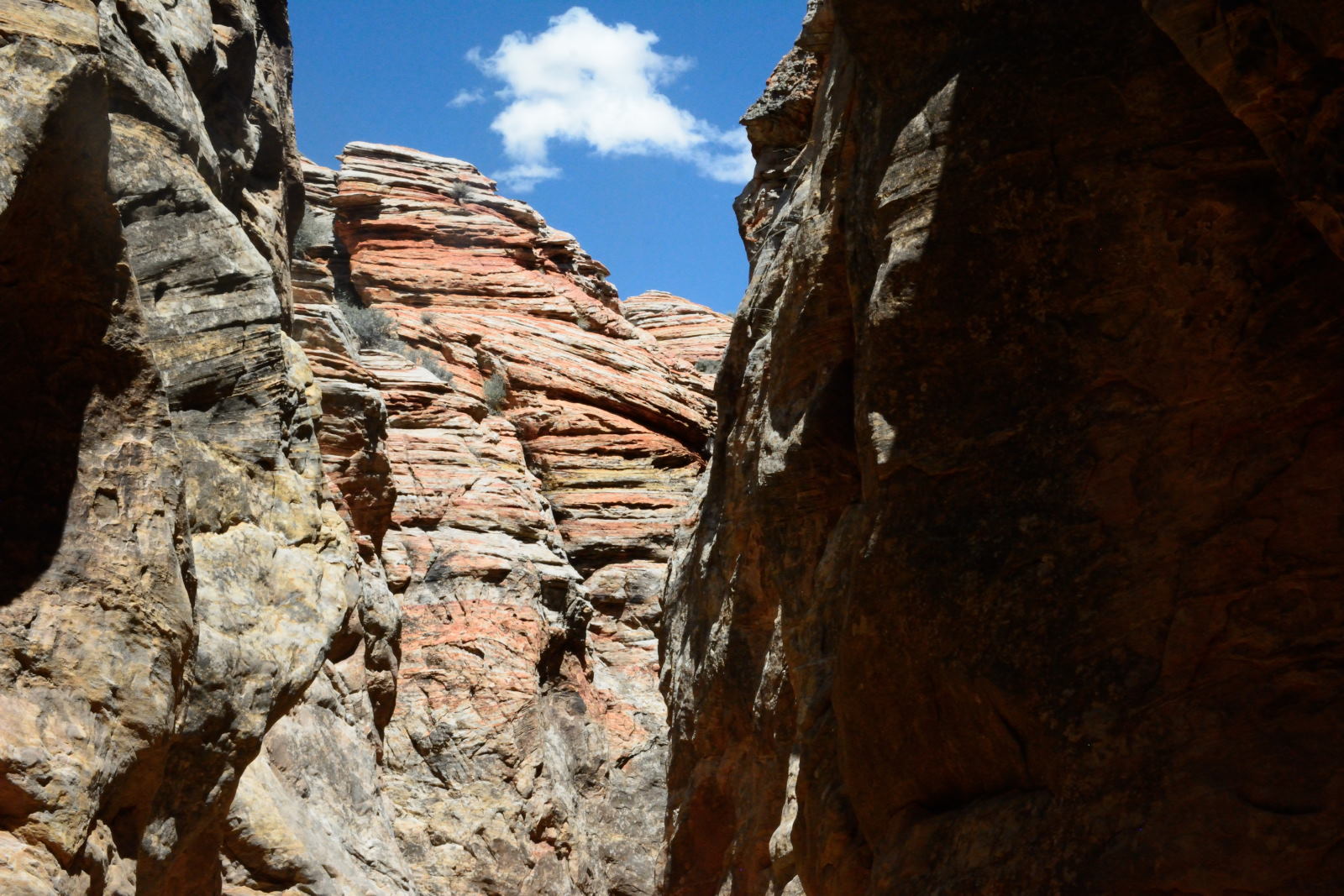
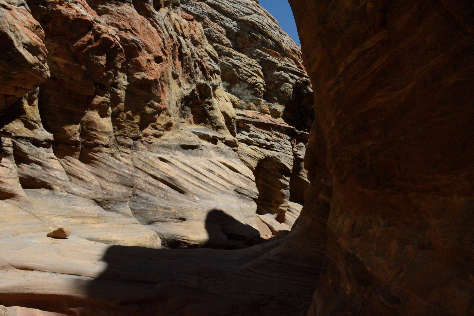
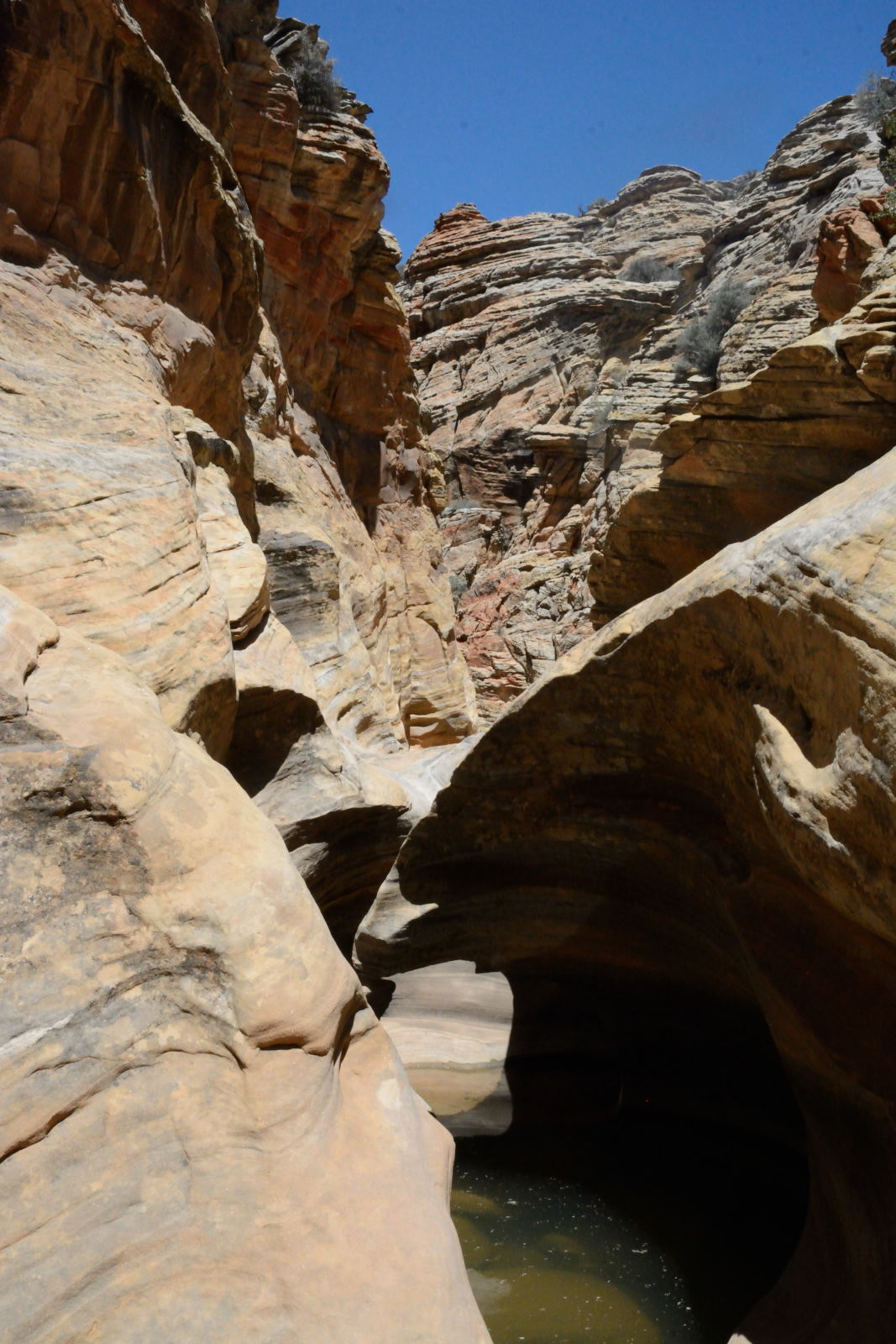
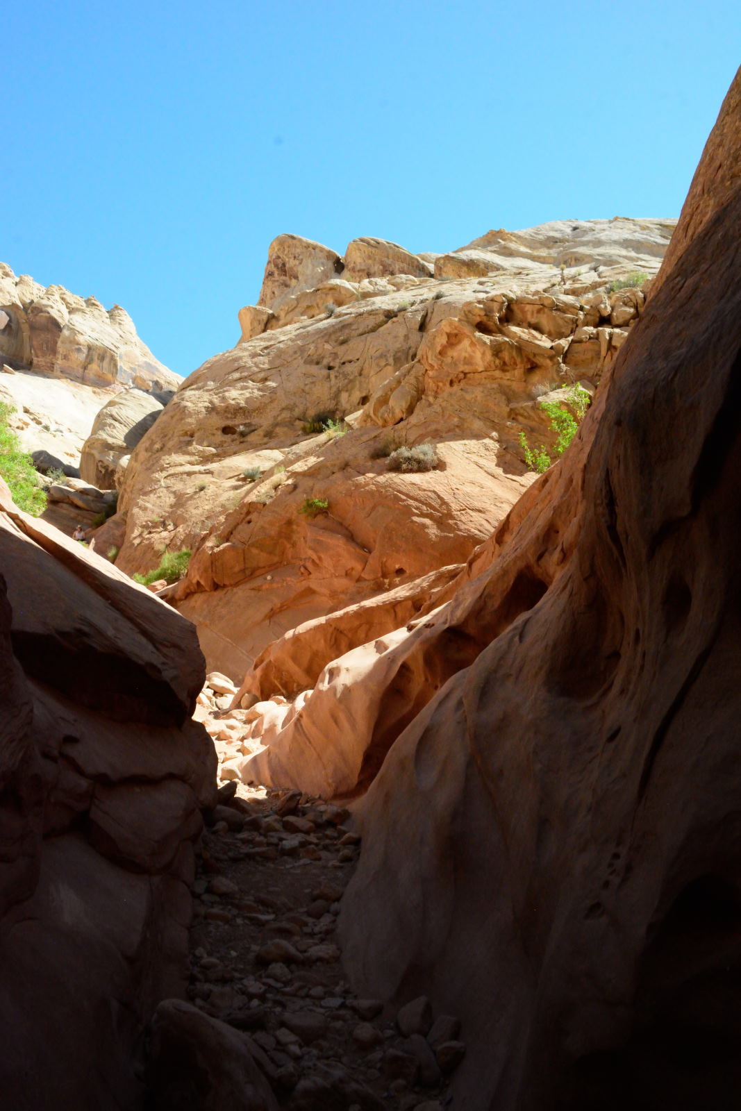
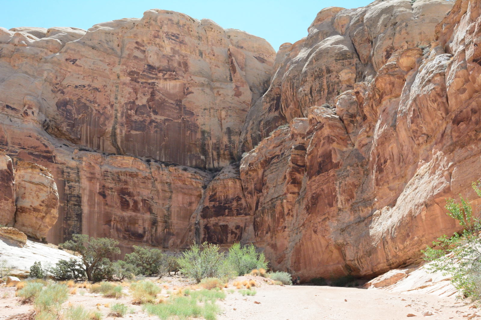
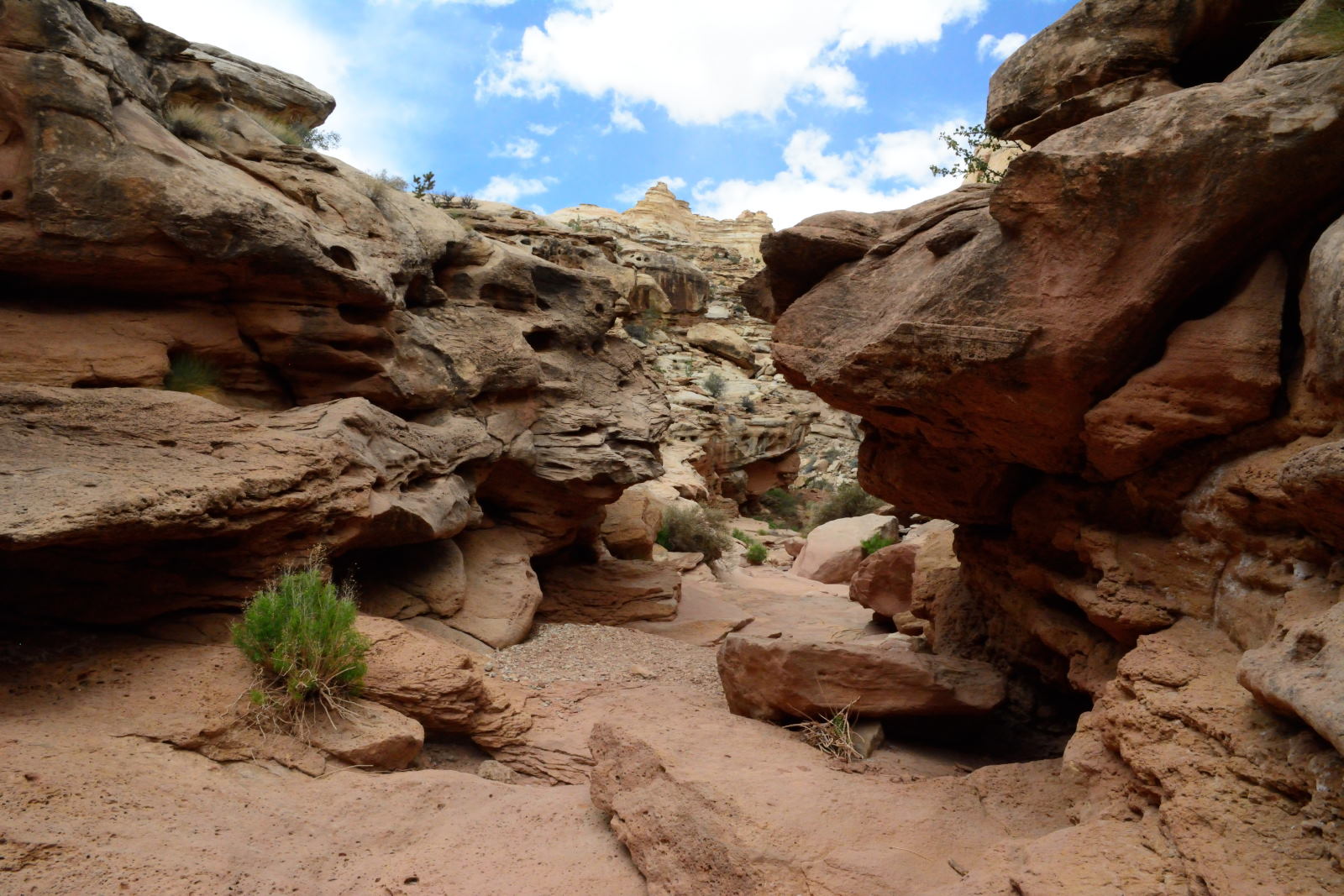
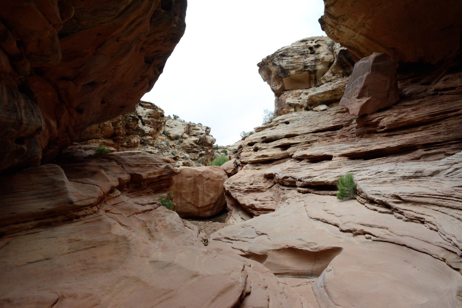
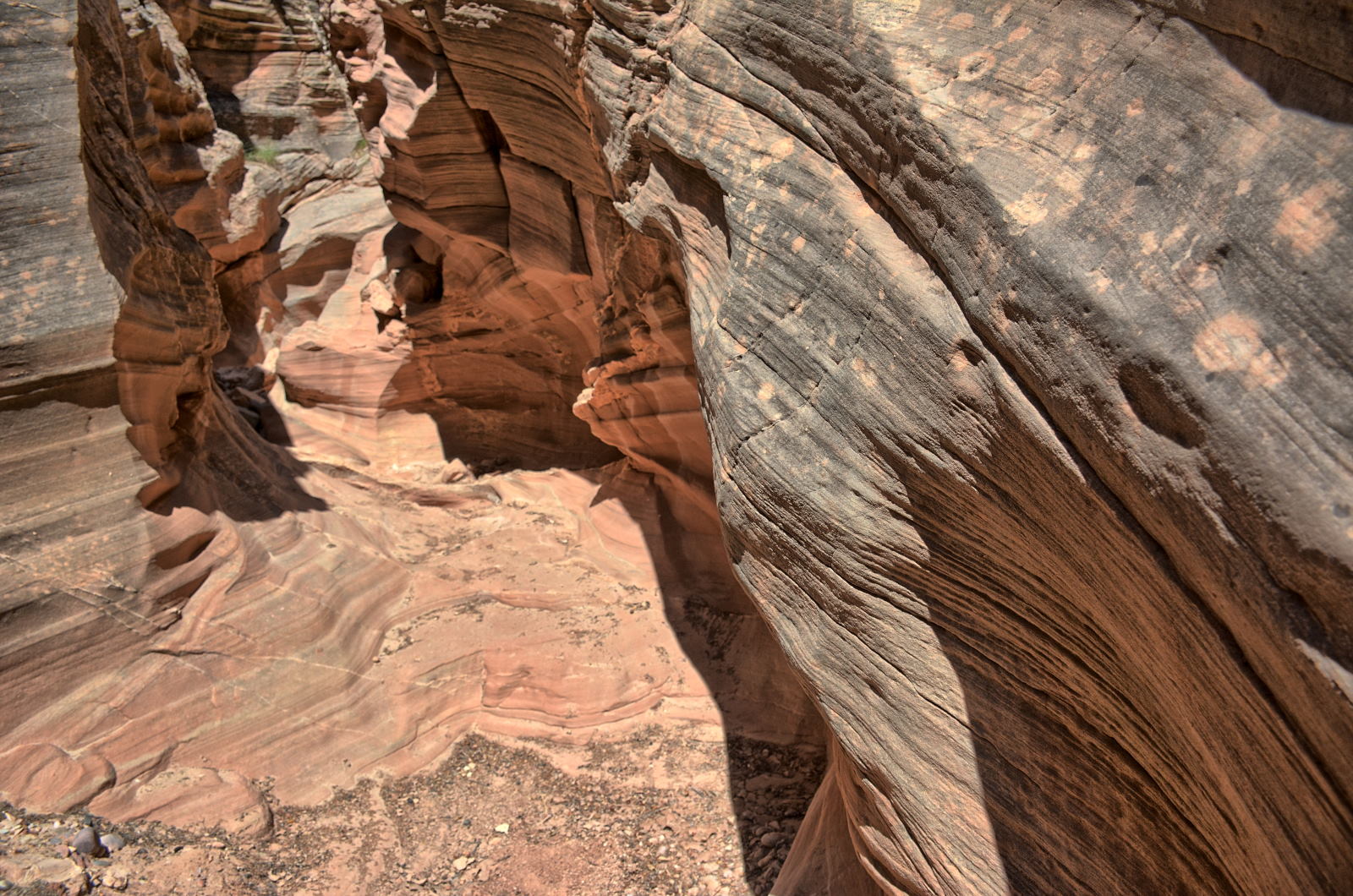
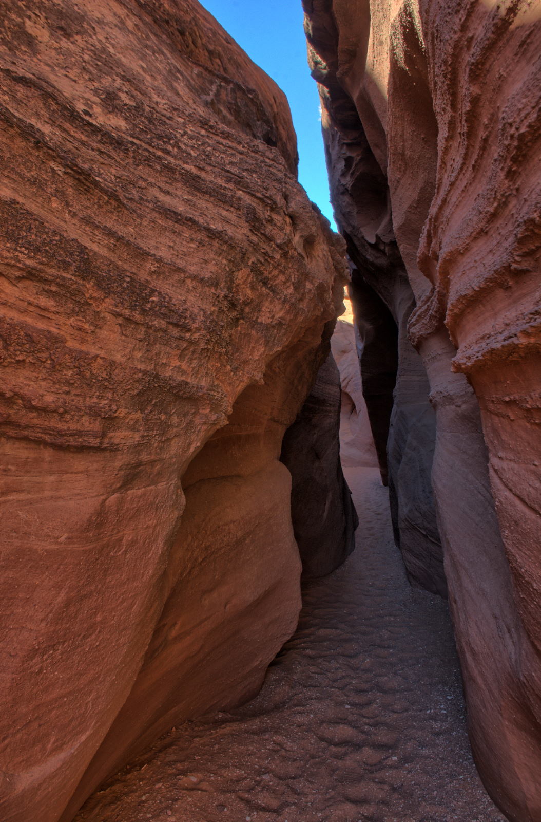
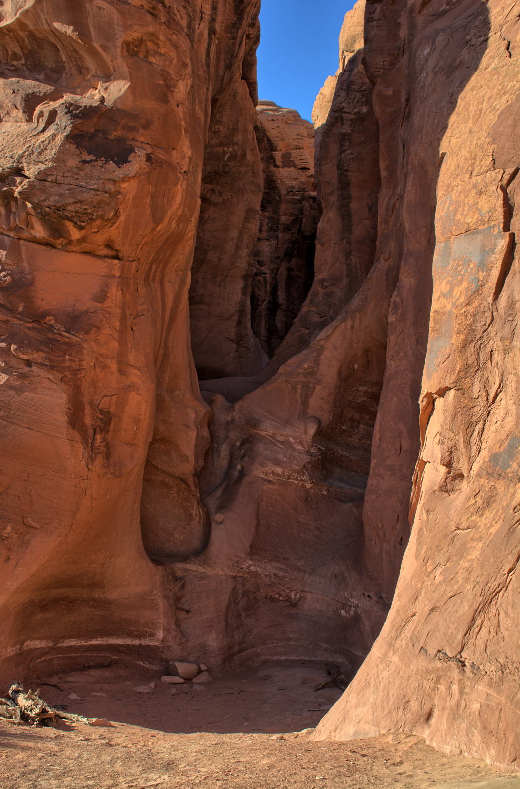
A few miles south of I-70 is Crawford Draw slot canyon. Chris spent a
couple hours
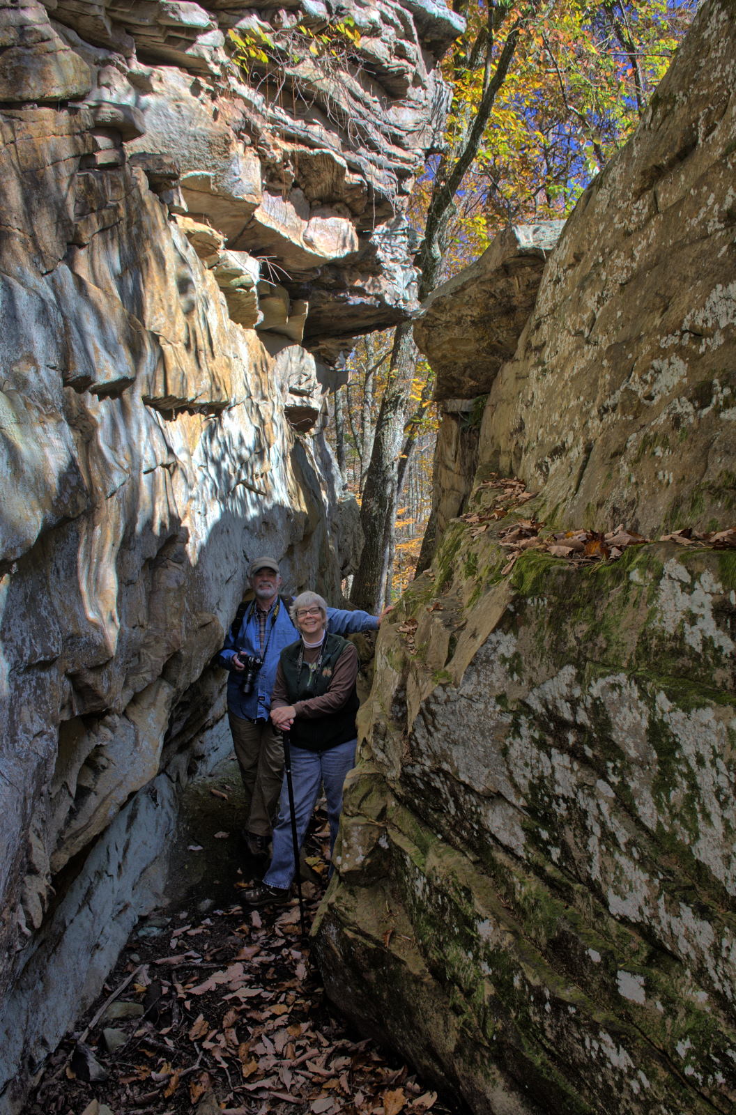
hiking through Crawford Draw, the first of many slot canyons he would hike on
this trip.
After finishing this hike in the extreme heat, Chris headed back to I-70 and
drove to Green River, Utah to cool off and get gas for the car and food for
himself.
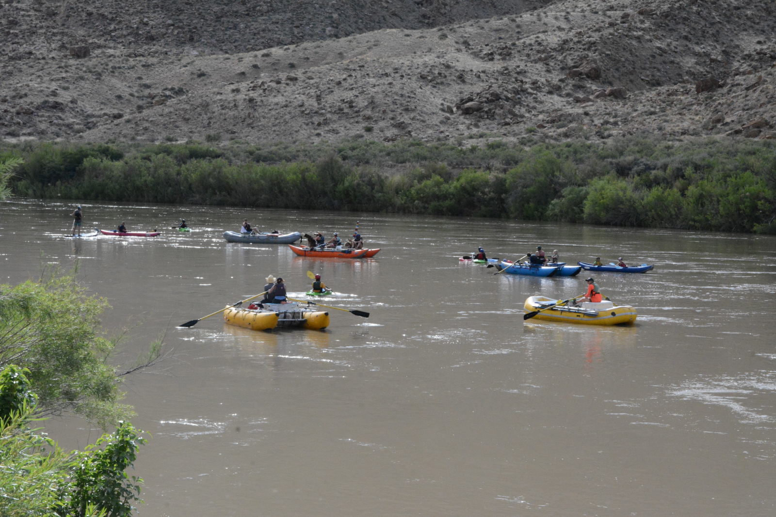
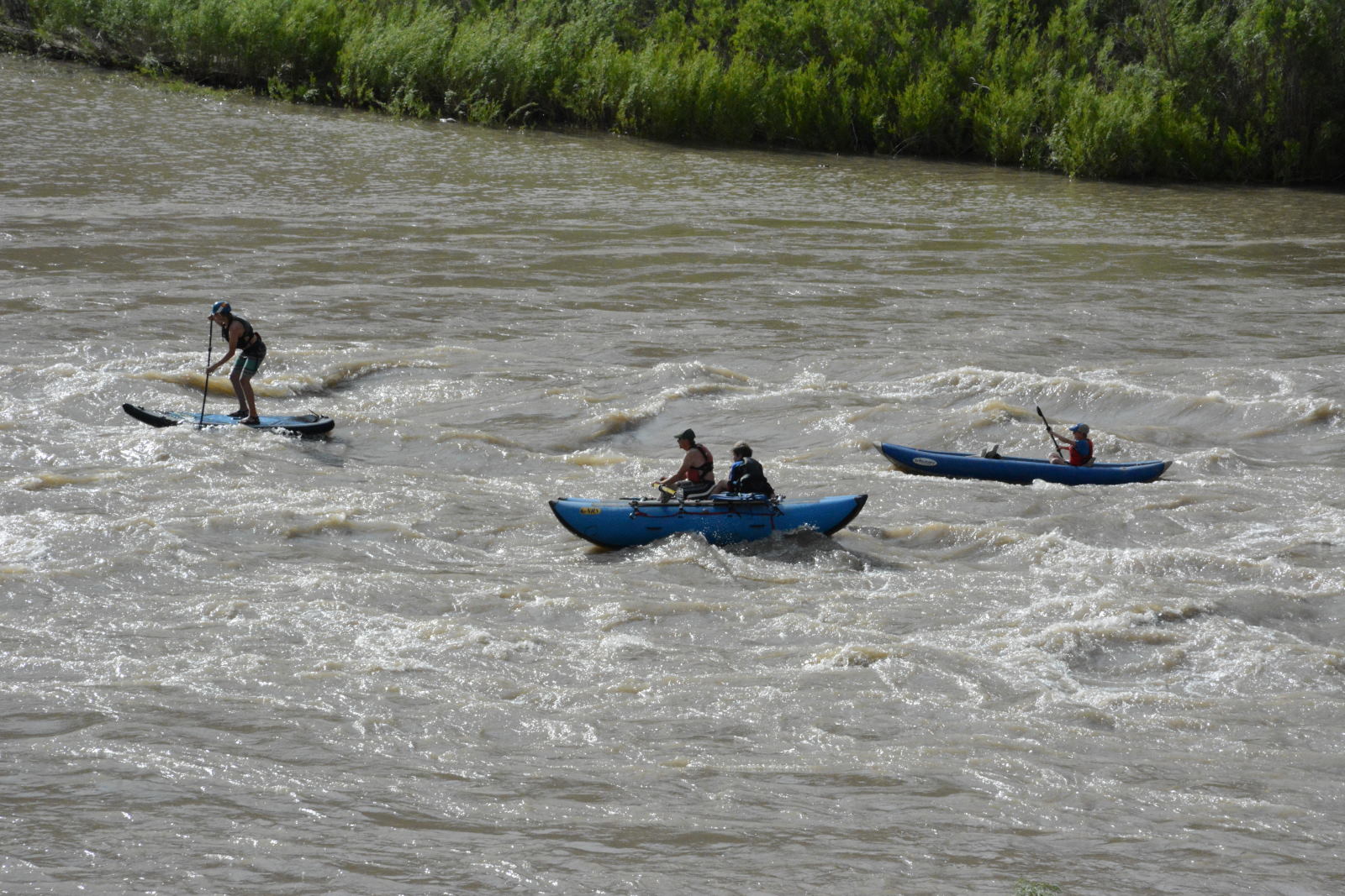
While in the town of Green River, Chris drove to the Green River itself and
watched some rafters come down the river. He dropped his feet in the water
to cool off at
Swaseys Beach on the Green River, before driving towards Goblin Valley and
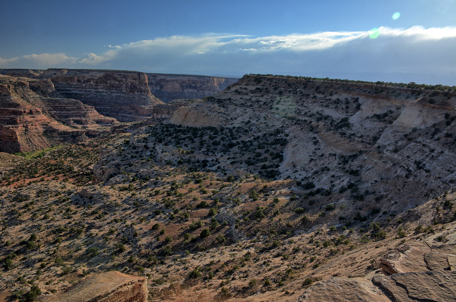
Little Wildhorse Canyon, which he planned to hike the following day.
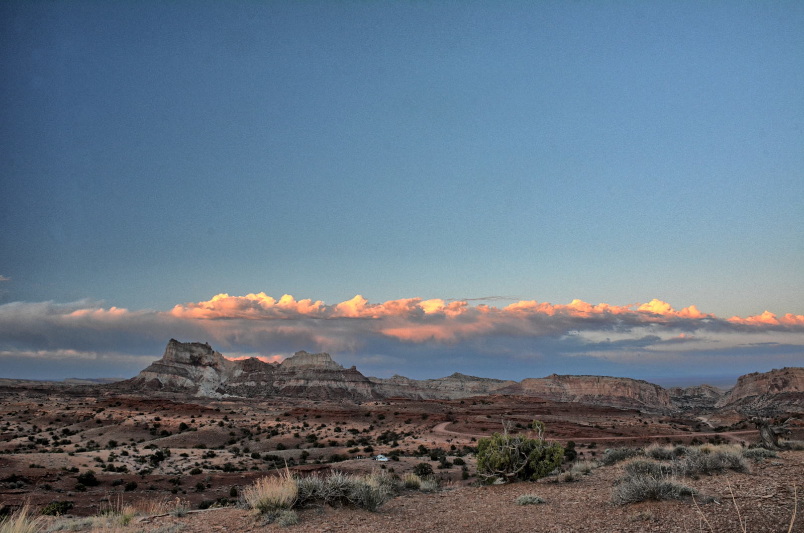
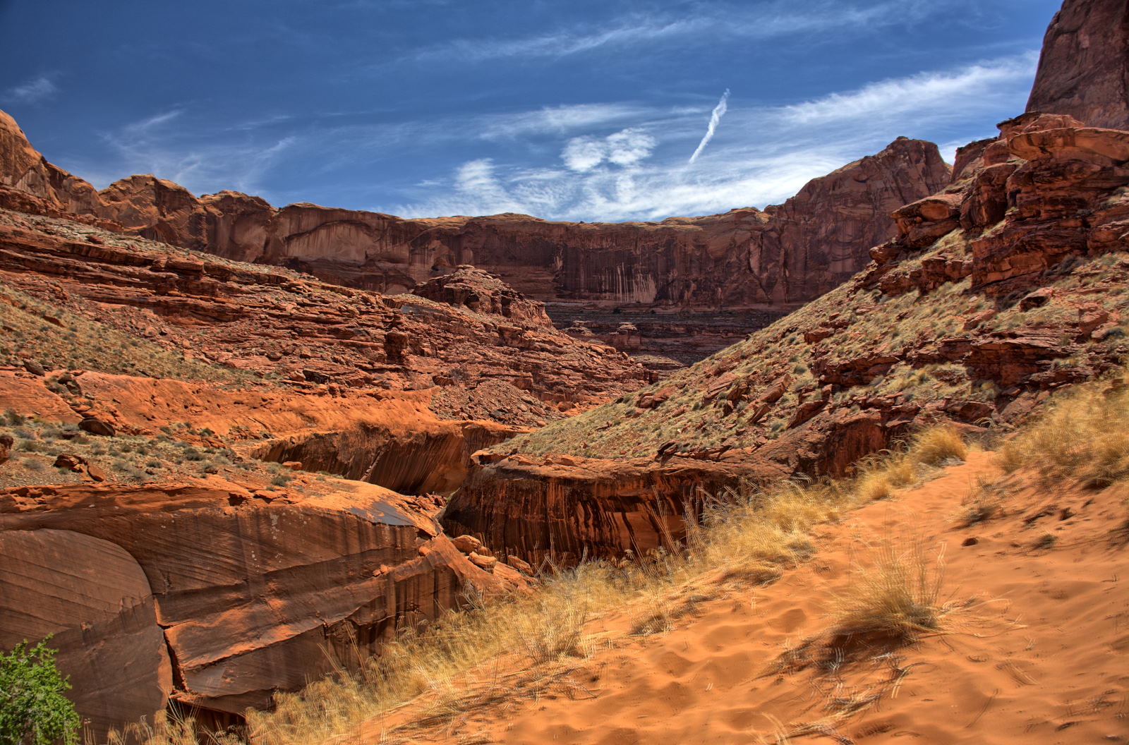
He
camped here on Temple Mount Road, just inside the San Rafael Reef near Goblin Valley.
On the way up onto the San Rafael Swell, he stopped to fly one of his RC planes for
more aerial video, and then flew that same plane in almost the same place the next
morning. There are two flights in this video; the first was on the
evening of 27 May 2018 and the second was on the morning of 28 May 2018.
View from Chris' tent on Temple Mount Road, San Rafael Swell, a few miles
northwest of Goblin Valley
Sunset from Chris' campsite on the San Rafael Swell, Temple Mount Road
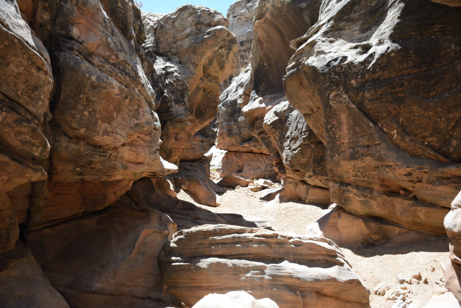
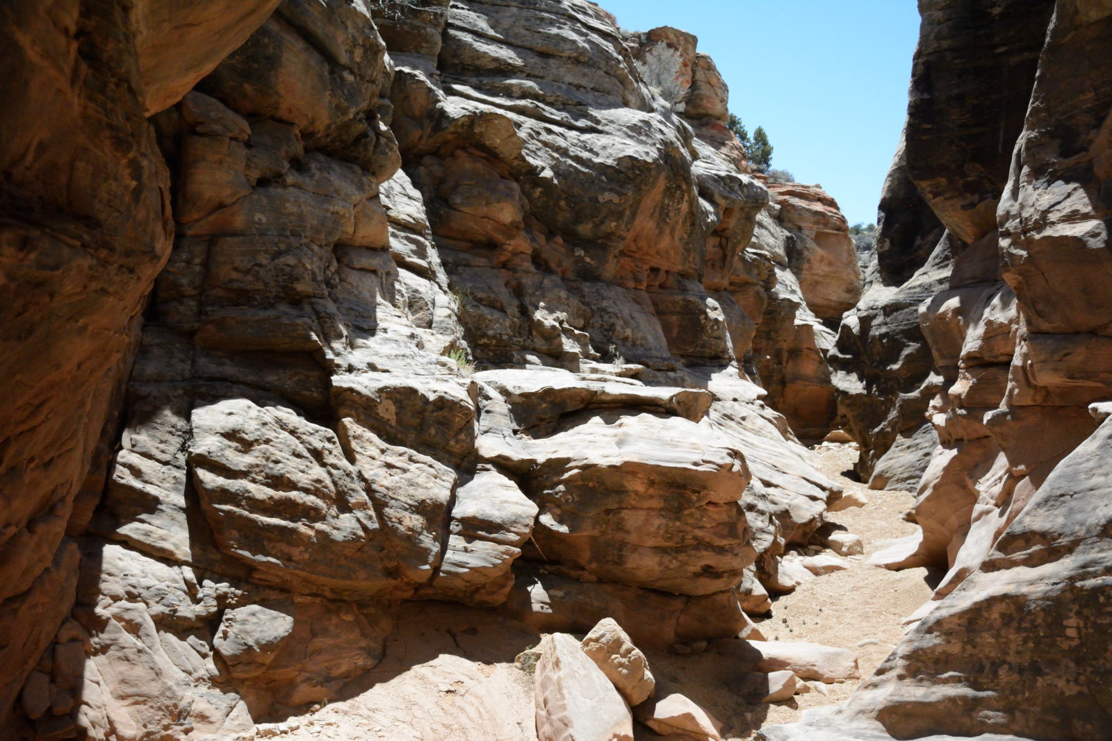
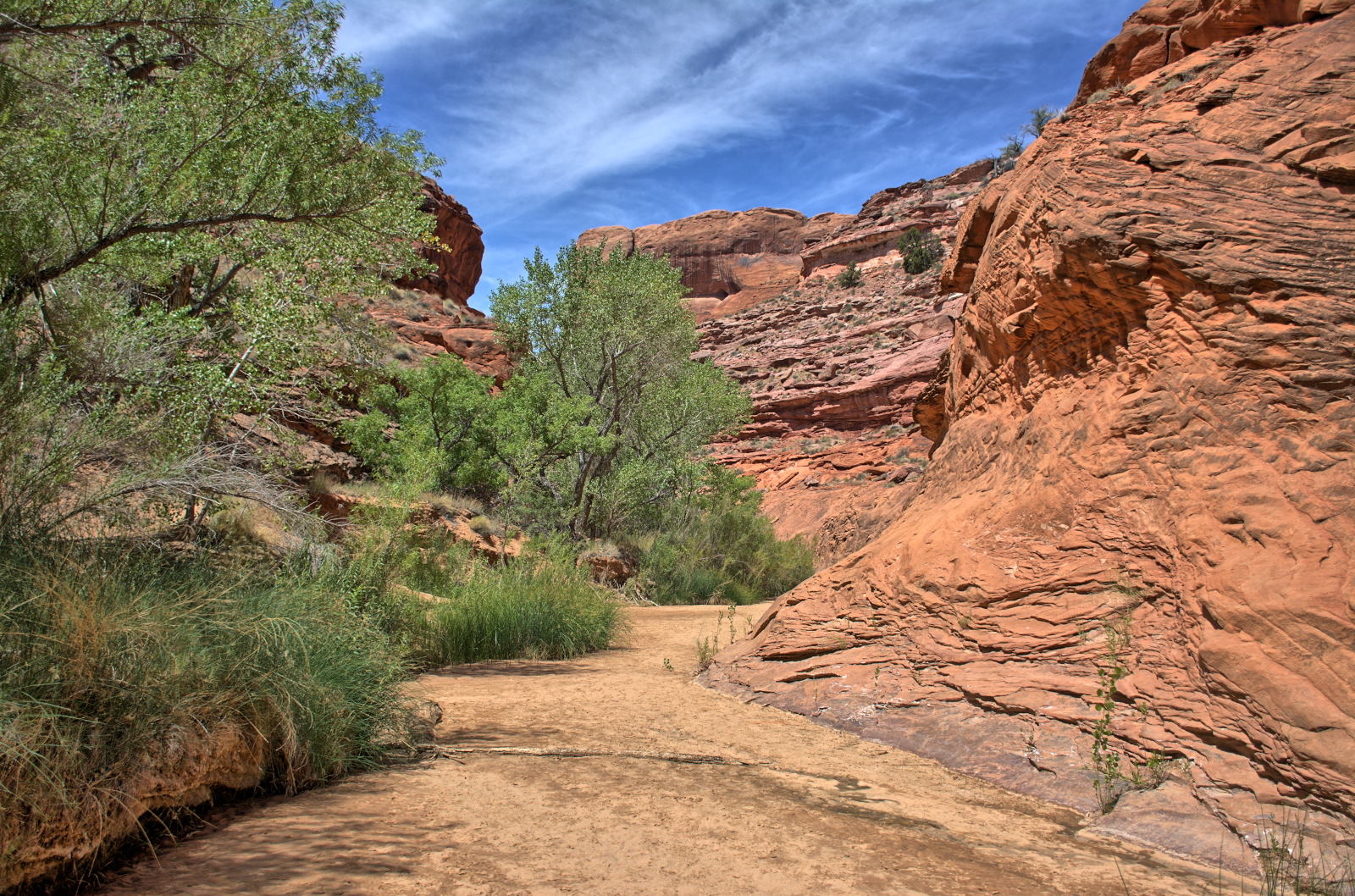
28 May 2018, Monday
After driving off the Reef on Temple Mount Road, Chris flew his morning RC
flight from in front of the Reef, then drove on south and west about 10 miles to
reach the trailhead for Little Wildhorse Canyon and Bell Canyon. This is a
very popular hike, and it is worth it. Chris had not eaten yet, so while
his breakfast was warming up on his cook stove, he flew another RC plane for some
aerial video at the trailhead. After a good breakfast, he set out on the loop route through
both canyons. He hiked the loop up Little Wildhorse Canyon and then down
Bell Canyon. The loop route can be hiked either way and is about 8 miles long.
The hiking video below shows the first few miles of Little Wildhorse Canyon,
which is the neatest section of the hike.
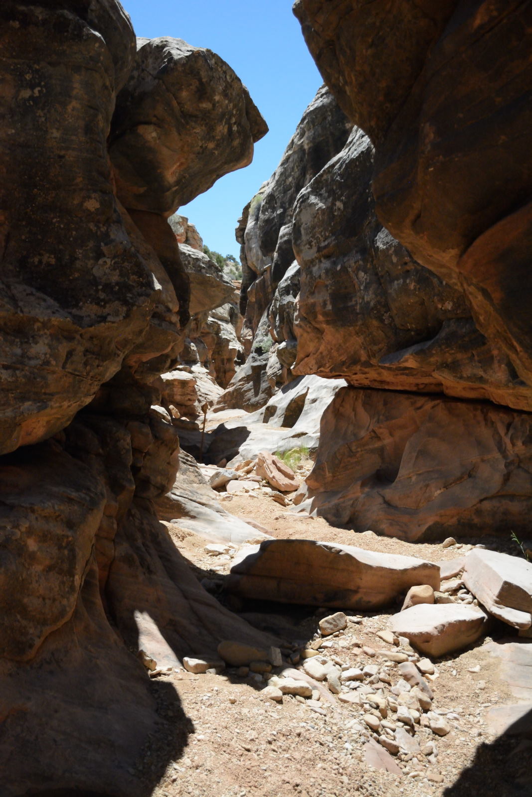
If you plan to hike these canyons, carry plenty of water and don't be afraid to
have to climb in a few places. It is not too bad, just 10 to 12 feet up a couple
places. The highest climb is shown towards the end of this
video at 30:15; it is a
short climb to bypass a pour-off, up a dead tree that has been leaned up against
the canyon wall. Little Wildhorse Canyon is 4 miles long, then you hike
out in the open on Behind The Reef Road for almost 2 miles to get to Bell
Canyon, which is slightly over 2 miles long. Bell Canyon has its moments, but
Little Wildhorse is the star of this hike. The lowest point on the hike is the
trailhead at 4963 feet, and the highest point on the hike is on Behind The Reef
Road at 5681 feet. You need a modified high clearance 4WD to drive on Behind The
Reef Road, so vehicles are not common. Chris did not see any on this hike.
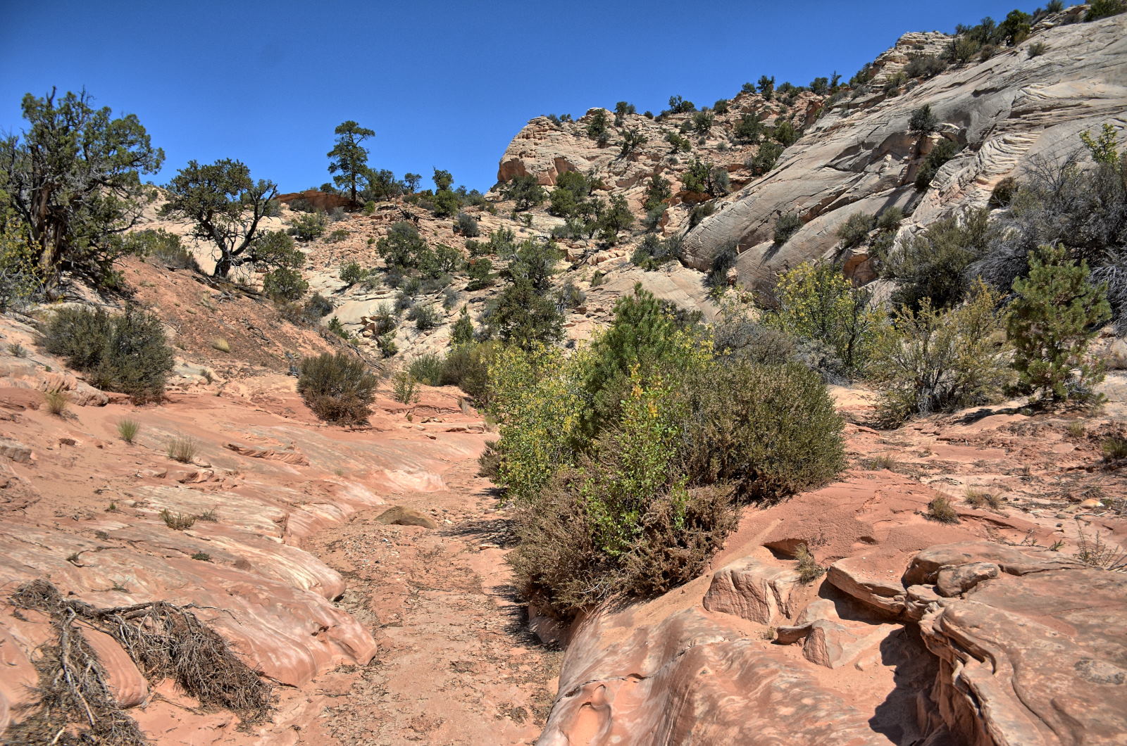
After quite a bit of hiking over the last few days, Chris decided to head to
Salt Lake City to relax one day before he had to report to Dugway. As this
was Memorial Day, the last day of a 3-day weekend, lots of other people were
headed back to Salt Lake City as well. The road north from Price to Salt Lake City
was packed, and not moving about 20 miles south of Spanish Fork. Chris
broke off the main road and headed up into the mountains, looking for a trail to
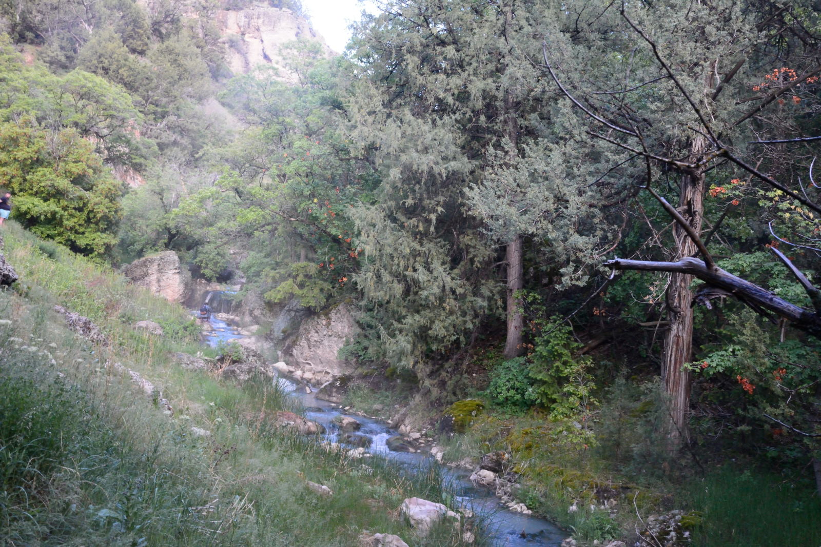
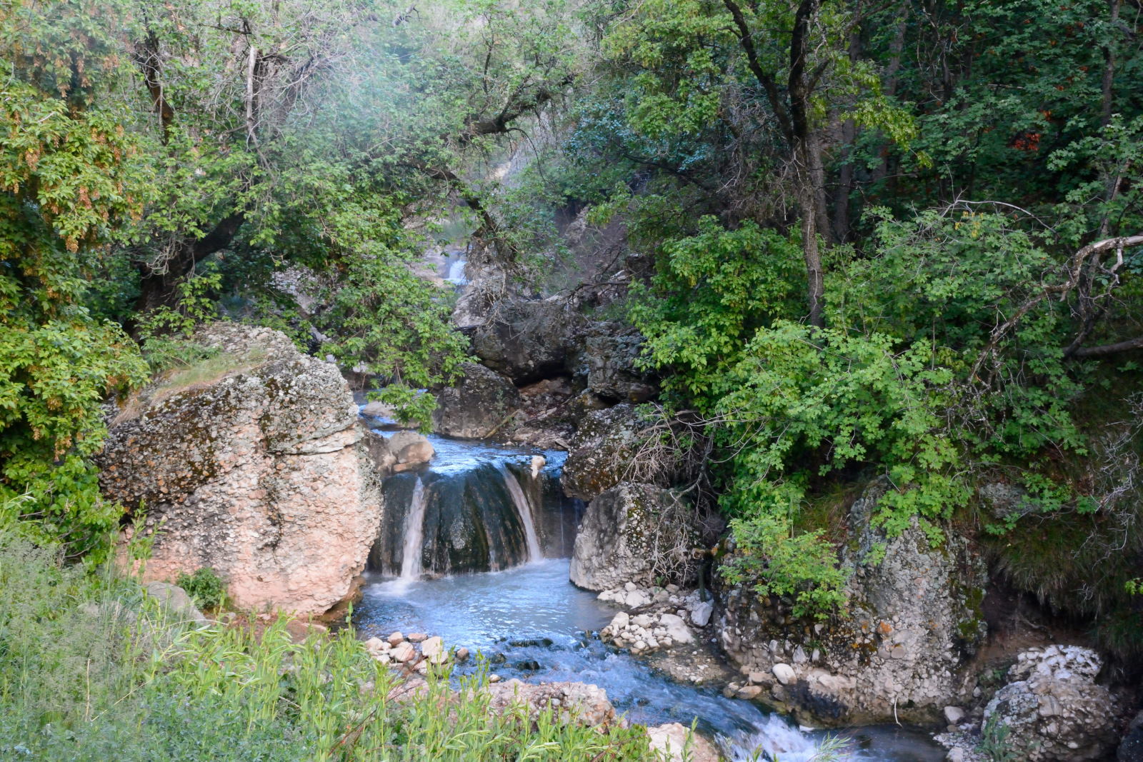
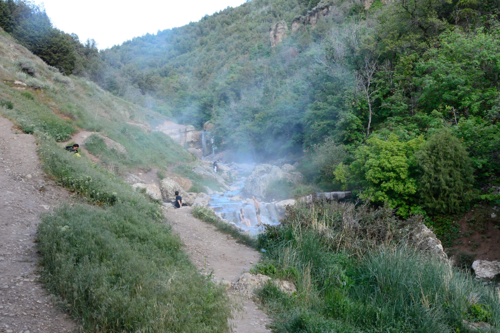
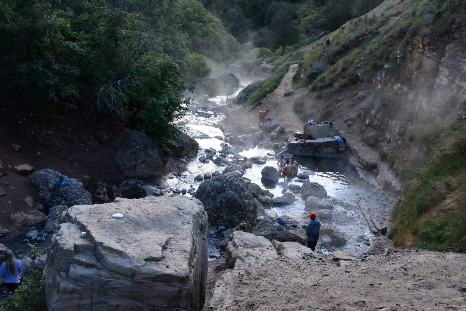
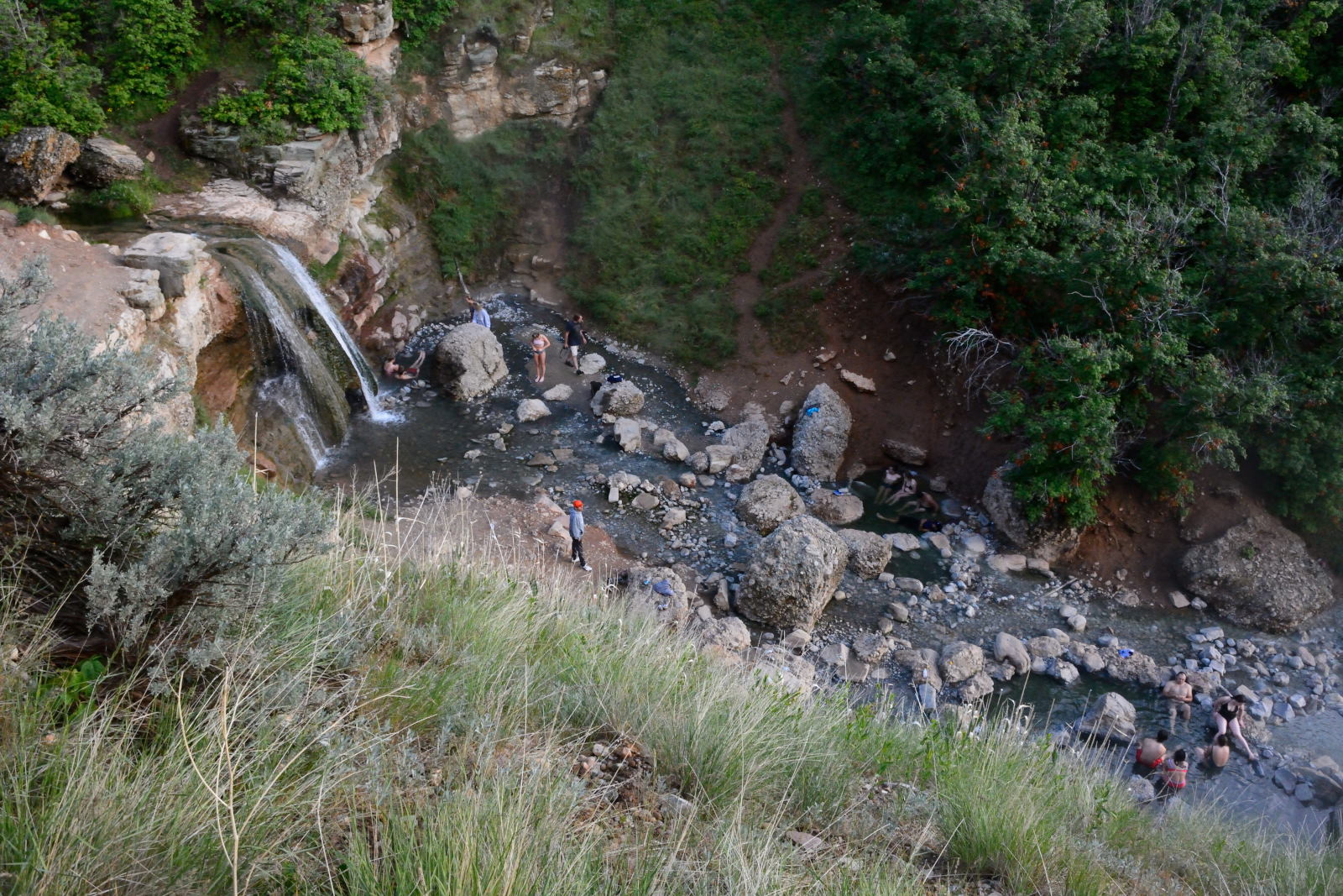
a hot springs that a friend had told him about. He found the parking lot,
which was nearly full of cars of other people who had the same idea, quickly
threw some stuff into his day pack, and began the 5 mile round-trip hike out to Diamond Fork Hot Springs,
also called Fifth Water Hot Springs. He soaked in the springs for a while,
then walked back to his car in the dark. Once he made it back to the main
road, all the traffic was gone and it was a easy drive into Salt Lake City.
Diamond Fork / Fifth Water Hot Springs
29 May 2018, Tuesday
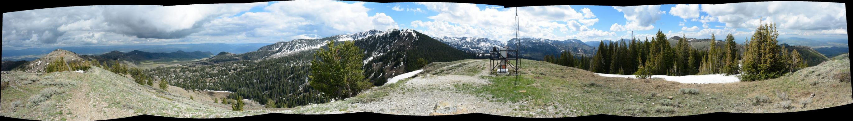
This was Chris' last day of vacation before he had to report to Dugway
Proving Grounds for work. He drove up into the mountains just east of Salt
Lake City, into Big Cottonwood Canyon. He did a little light hiking to the
top of a mountain next to Guardsman Pass, which overlooks Big Cottonwood Canyon to
the west and Park City to the east.
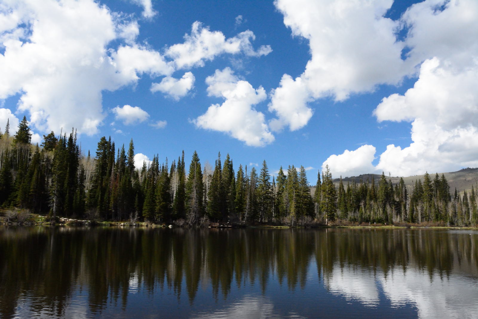
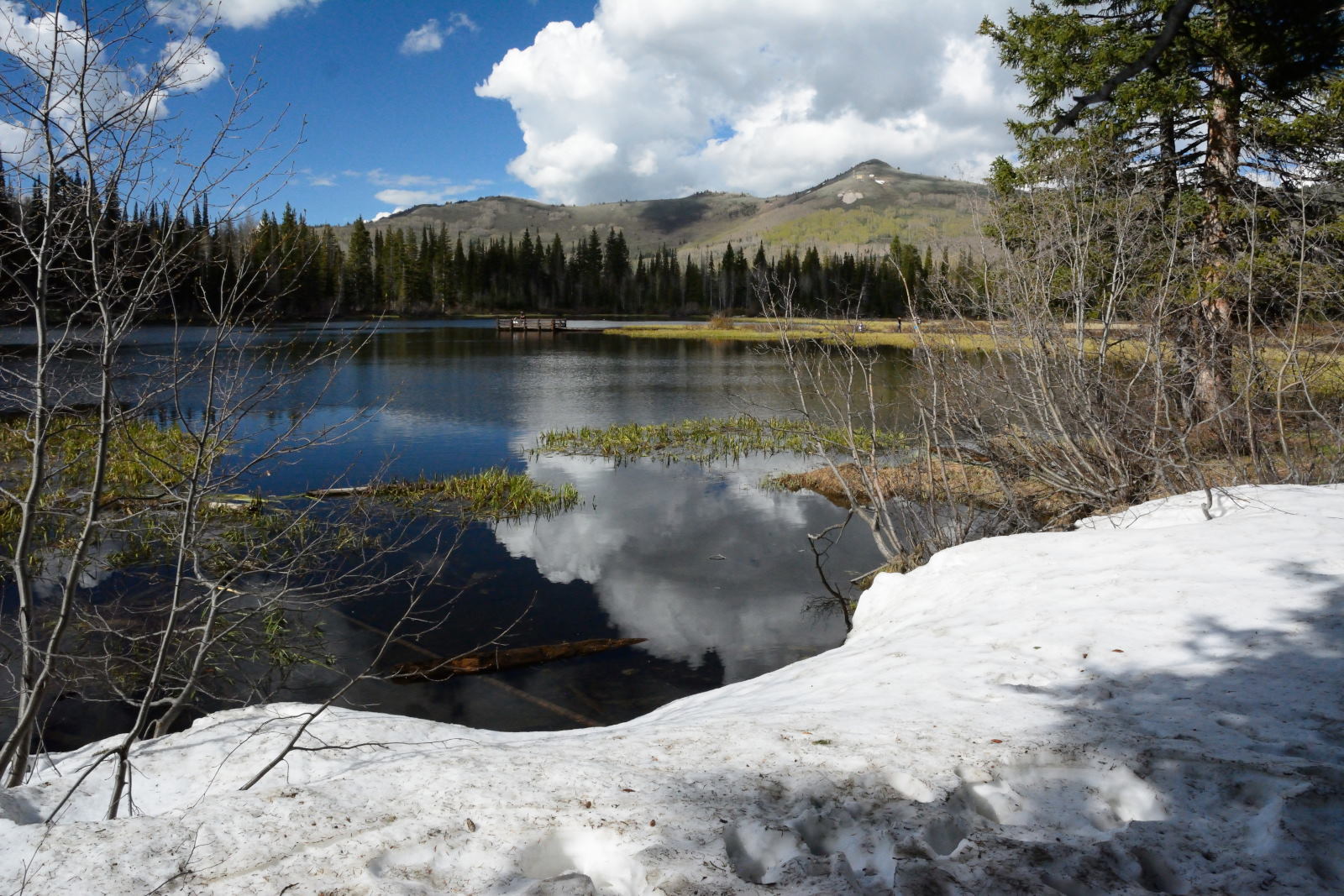
It has great views and the location is here. He then drove back down into
the canyon and did the short walk around Silver Lake, before returning to Salt
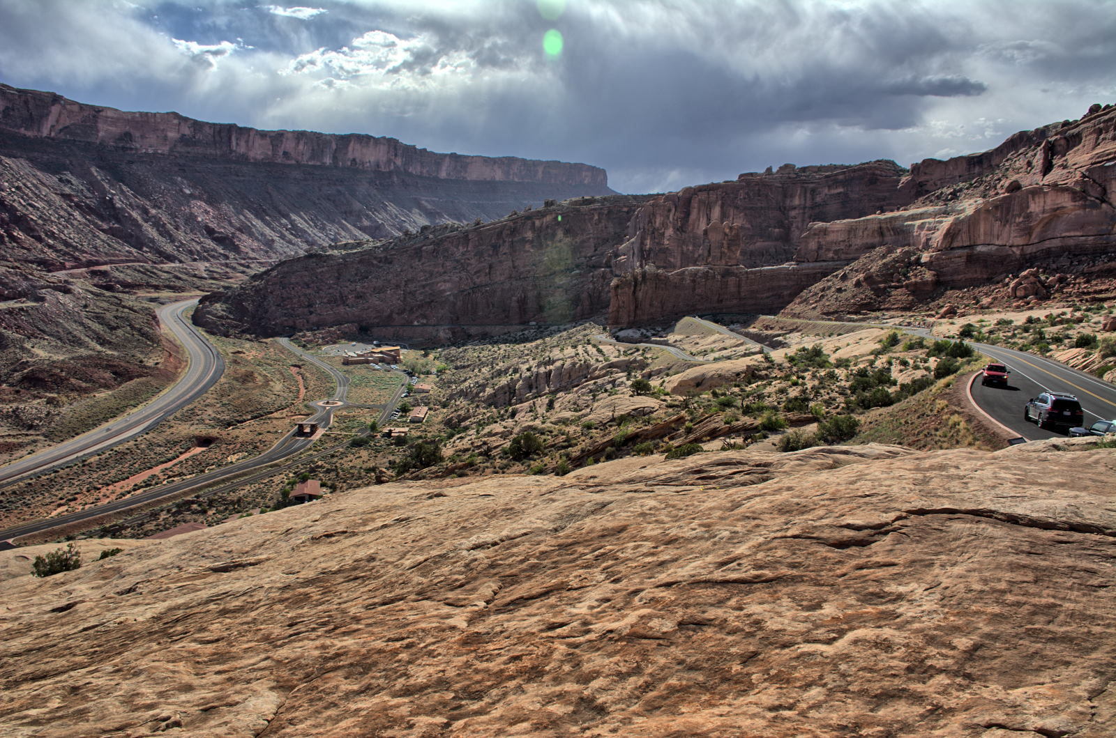
Lake City and driving the last 100 miles to Dugway, where he stayed on post.
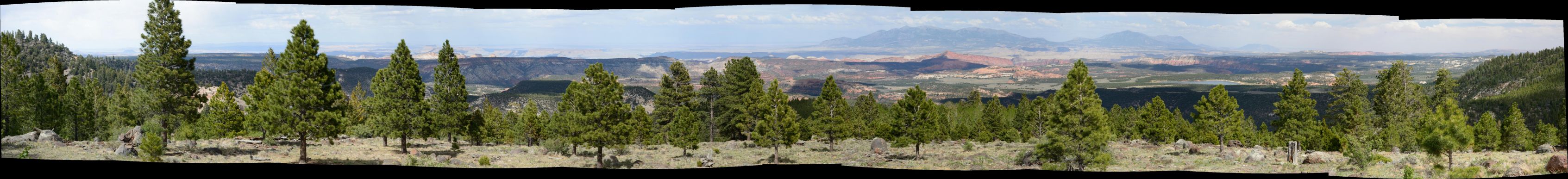
Panorama from above Guardsman Pass, top of Jupiter Bowl
Silver Lake
30 May 2018, Wednesday - 19 June 2018, Tuesday
Chris had flight testing at Dugway for several days, then flew home to
Maryland for a week. He flew back to Salt Lake City and drove out to
Dugway on Sunday, 10 June. Flight testing continued at Dugway starting on
Monday, 11 June and continued to Tuesday, 19 June. Chris stayed on post
for this period. Dugway is in the middle of nowhere, but the scenery
is beautiful, so he visited places nearby when time allowed after work.
After work on the evening of Tuesday, 12 June 2018, Chris took one of his RC
planes off-post to fly in Skull Valley. After work on the evening of Saturday, 16 June 2018, Chris drove across the
desert to the rebuilt Simpson Springs Pony Express Station and then to Lookout
Pass, where a Pony Express Station had also existed, but is no longer there.
He flew some RC flights and captured aerial video at each location.
Chris had Sunday, 17 June 2018, off from work. He and several of his
friends had reservations for lunch at Red Iguana 2 in Salt Lake City. He drove
into Salt Lake City via Johnson Pass and Toelle, and stopped to fly one of his RC planes.
He captured aerial video, but it was so windy that the video did not turn out well.
He walked around Temple Square and then drove to Red Iguana 2 for lunch with his
friends.
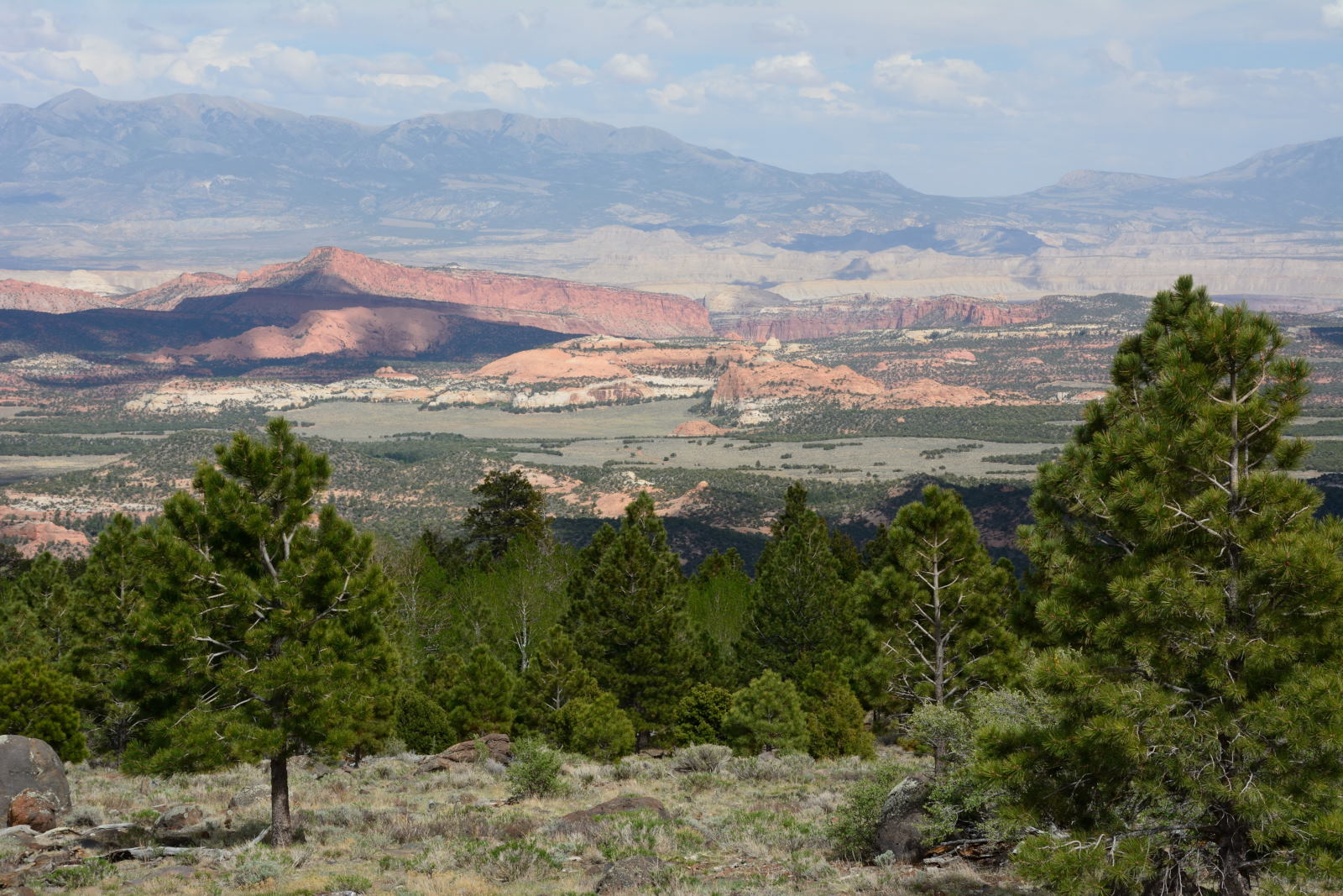
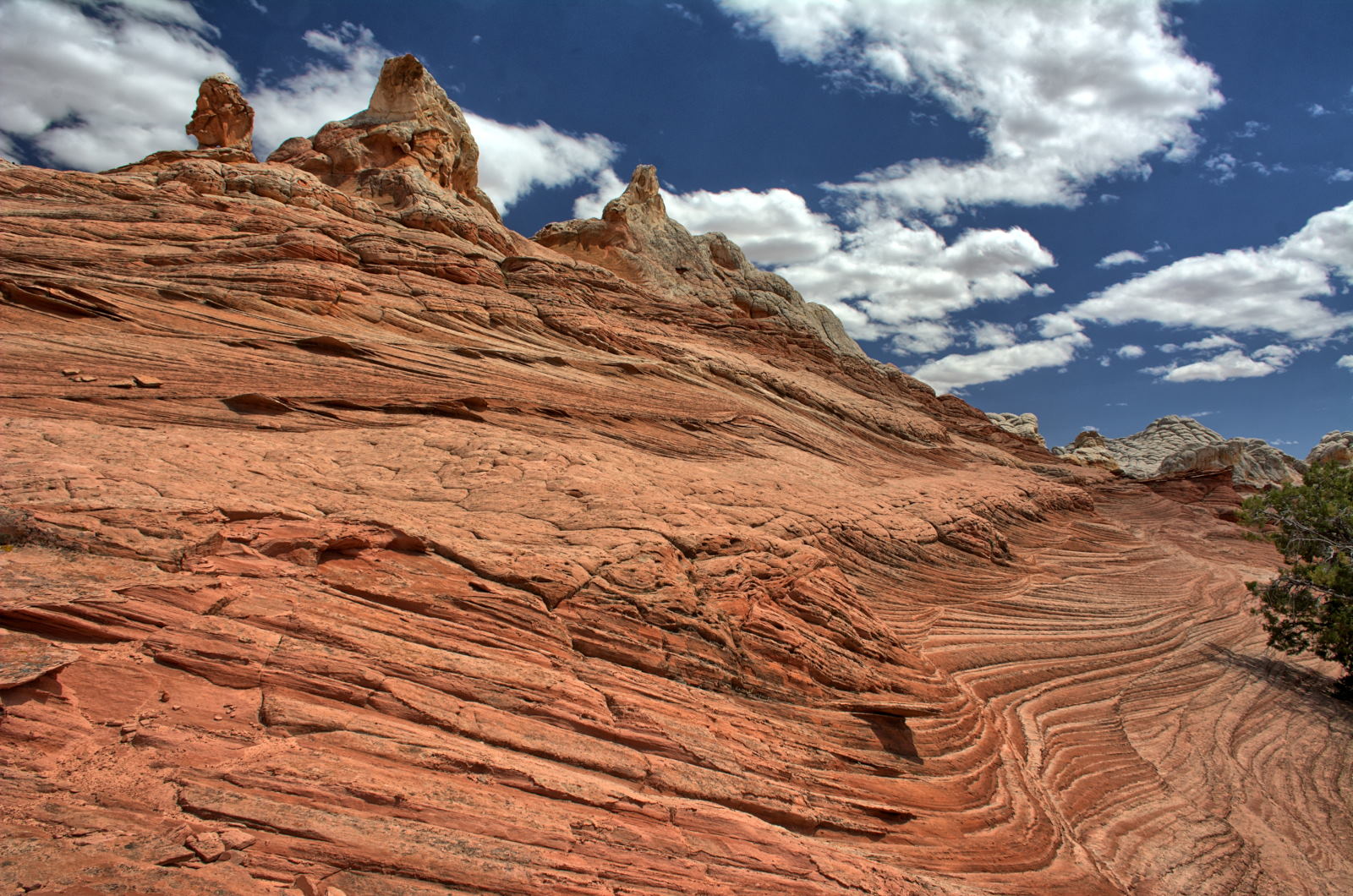
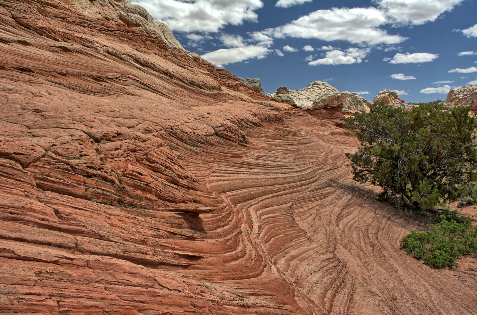
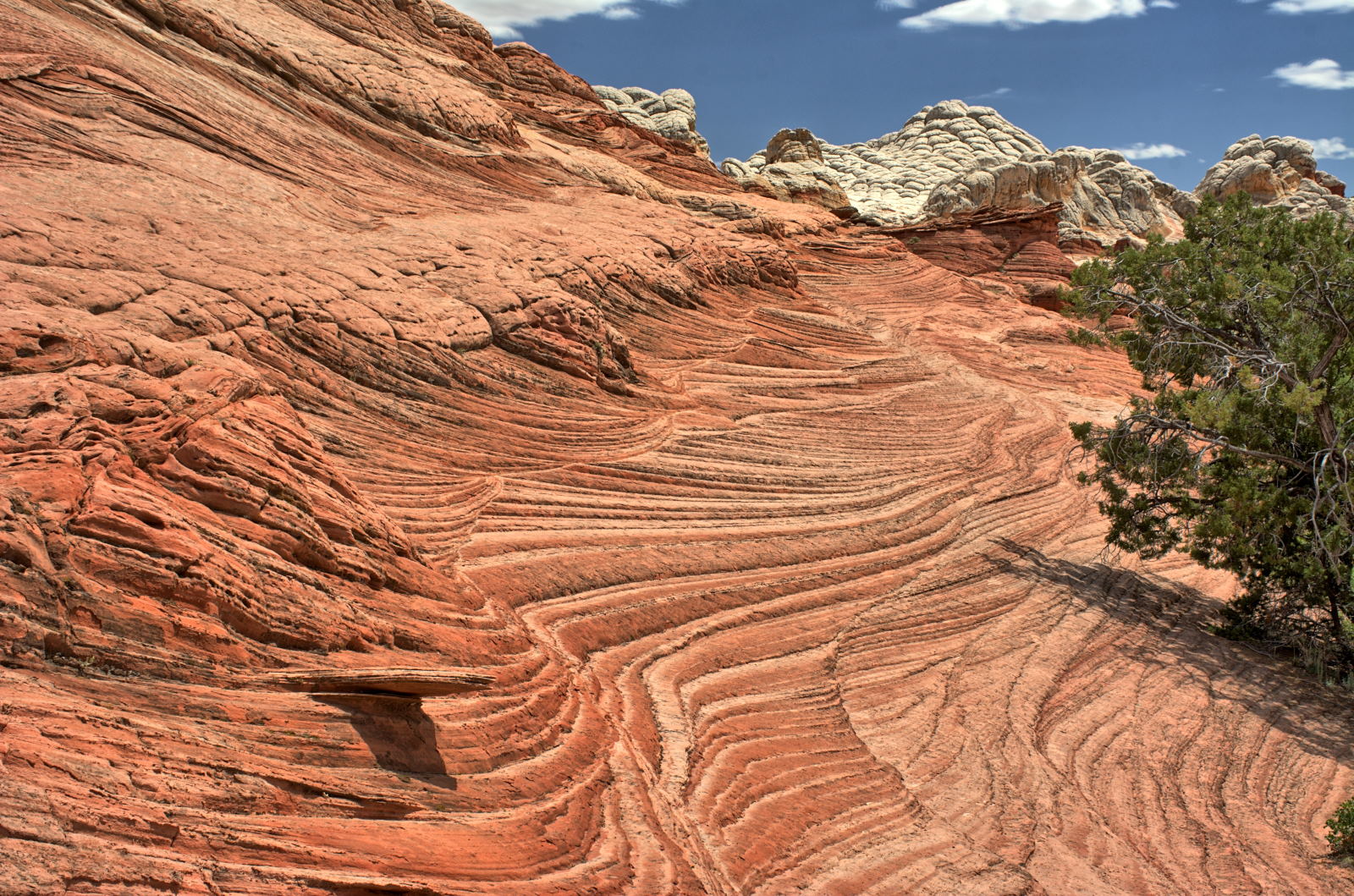
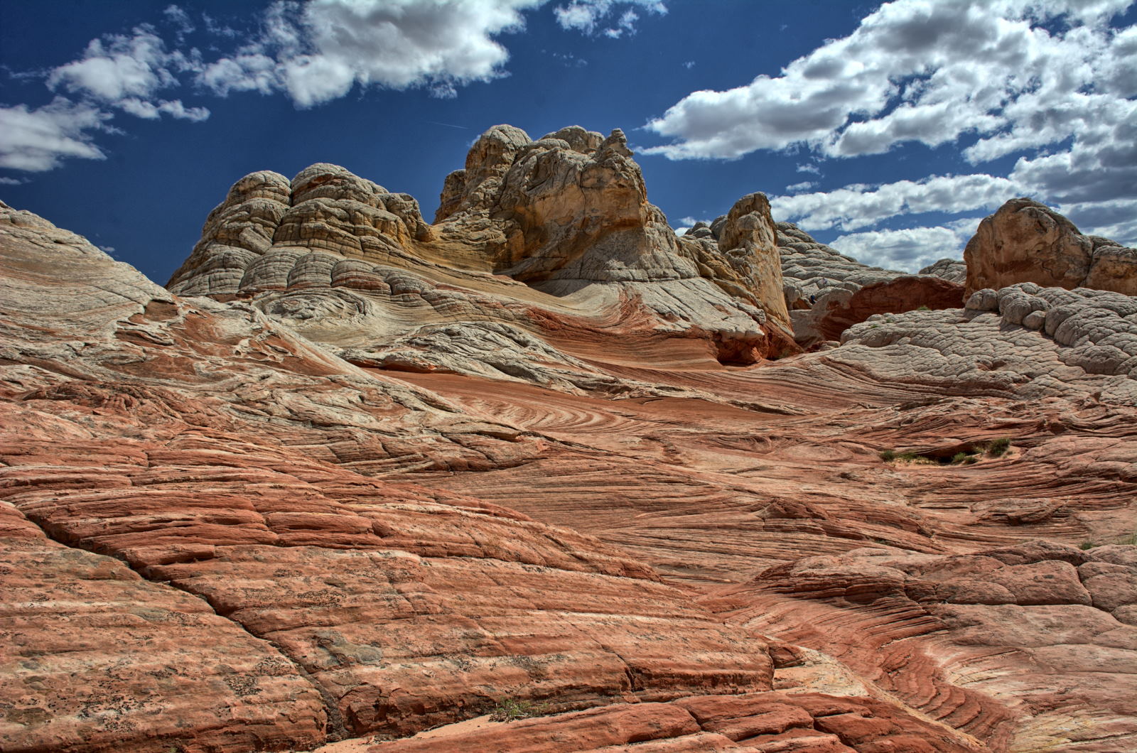
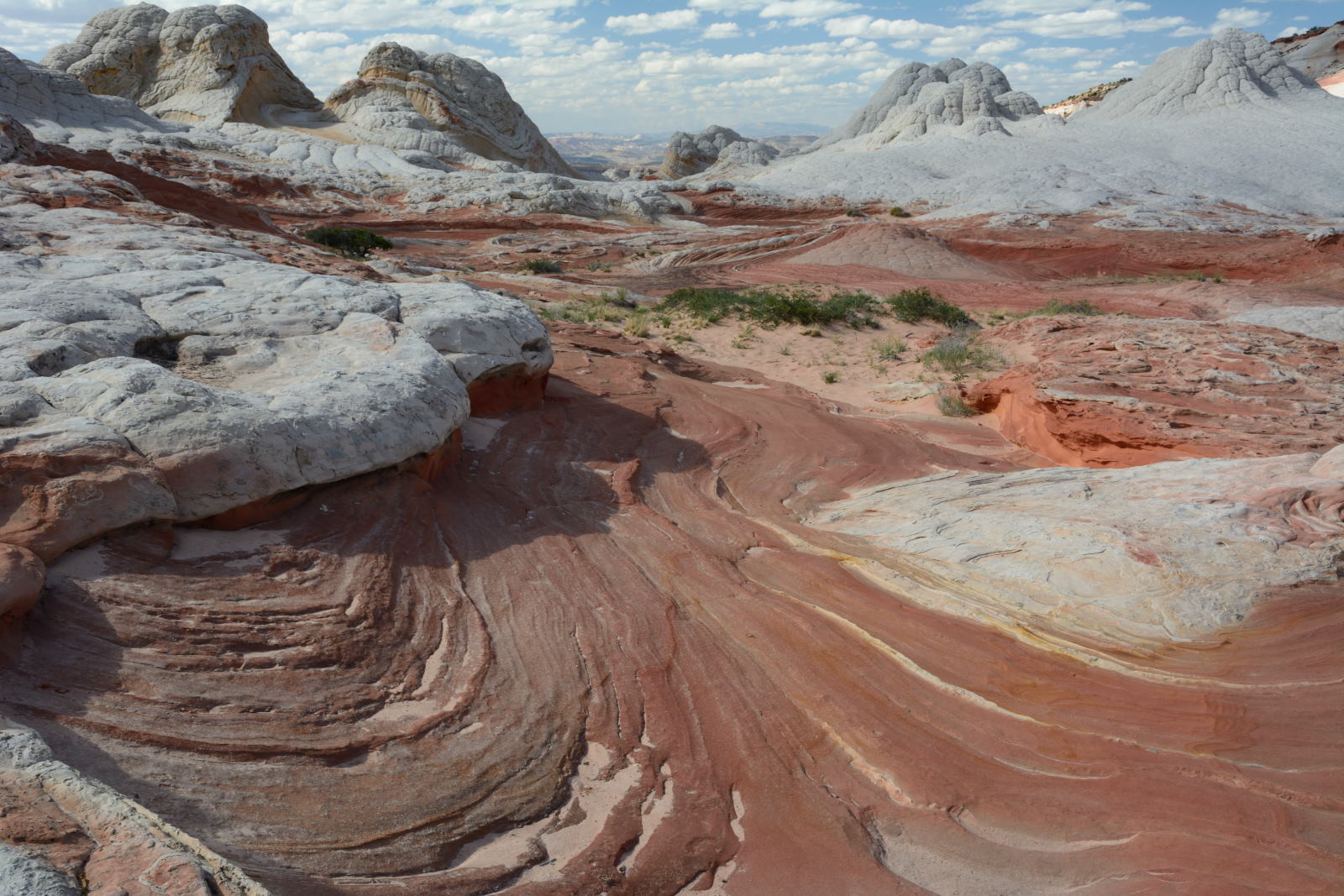
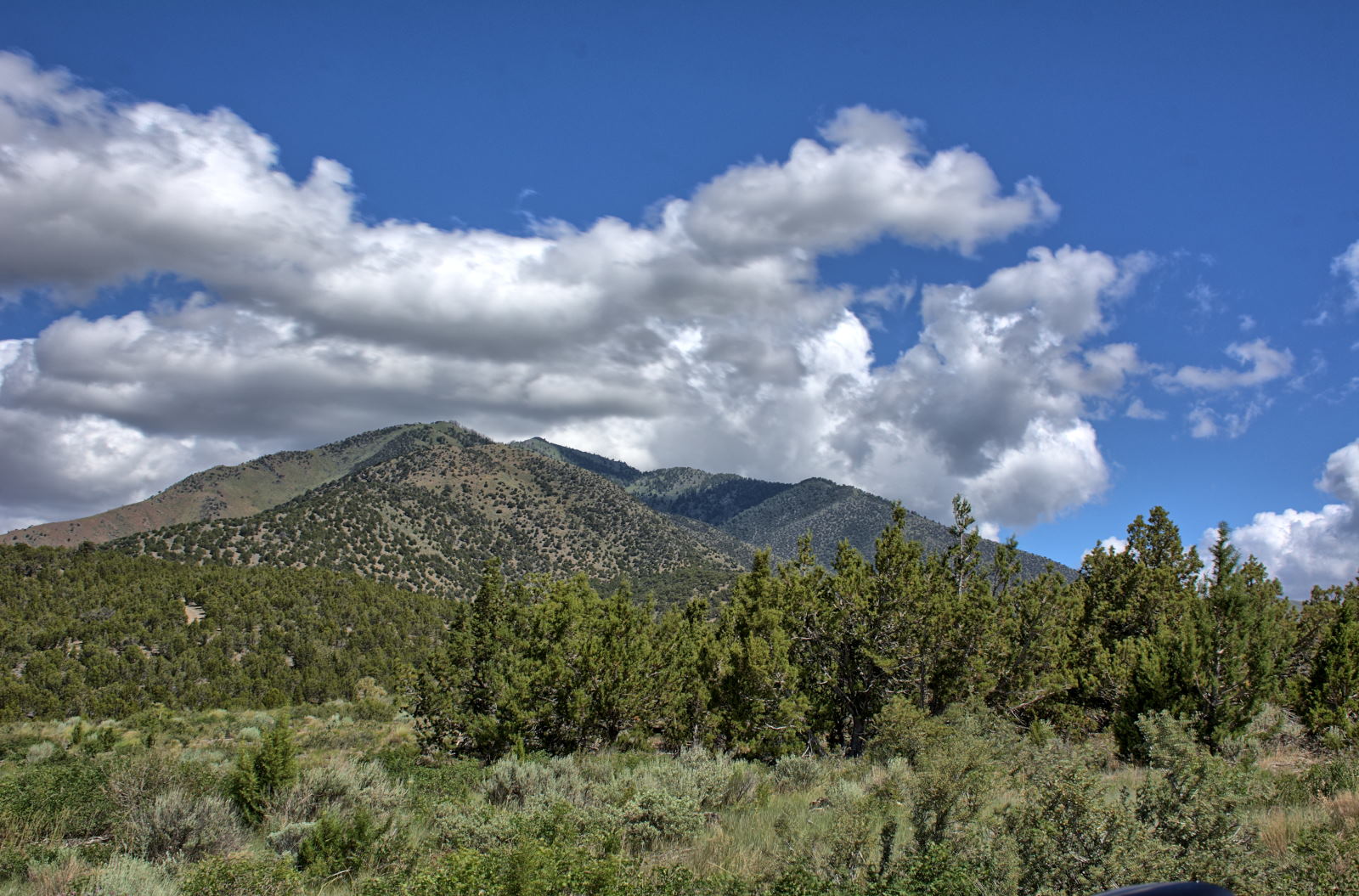
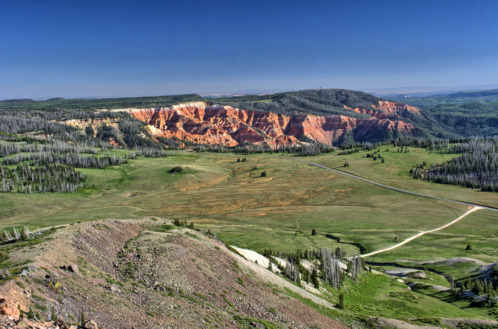
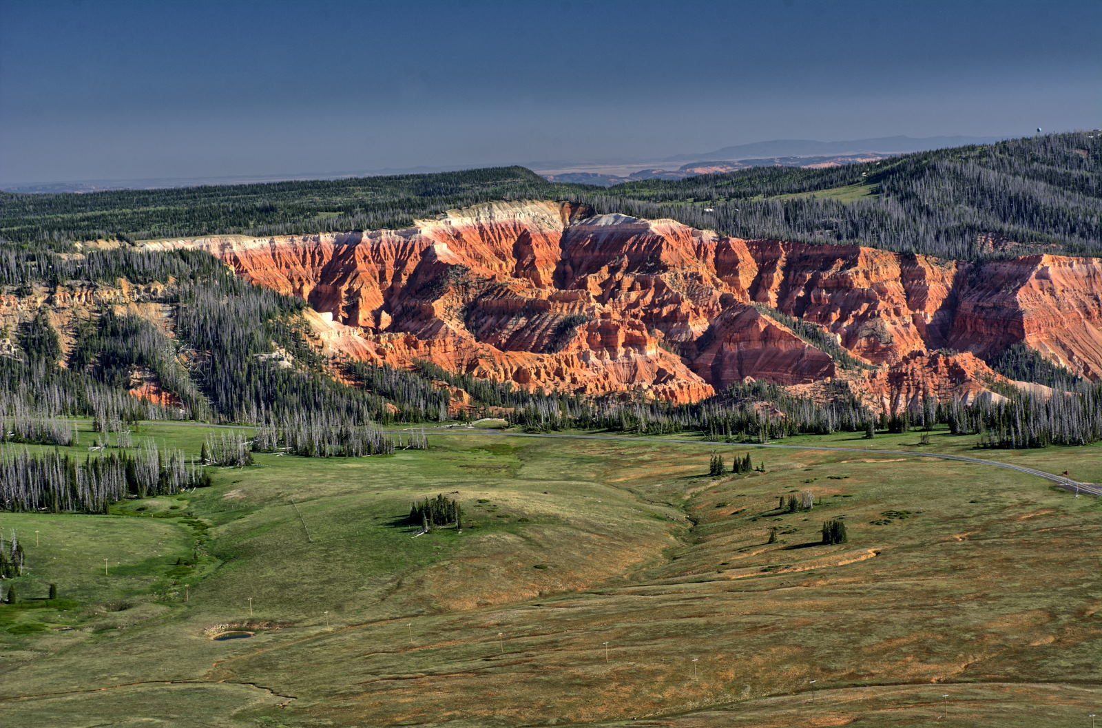
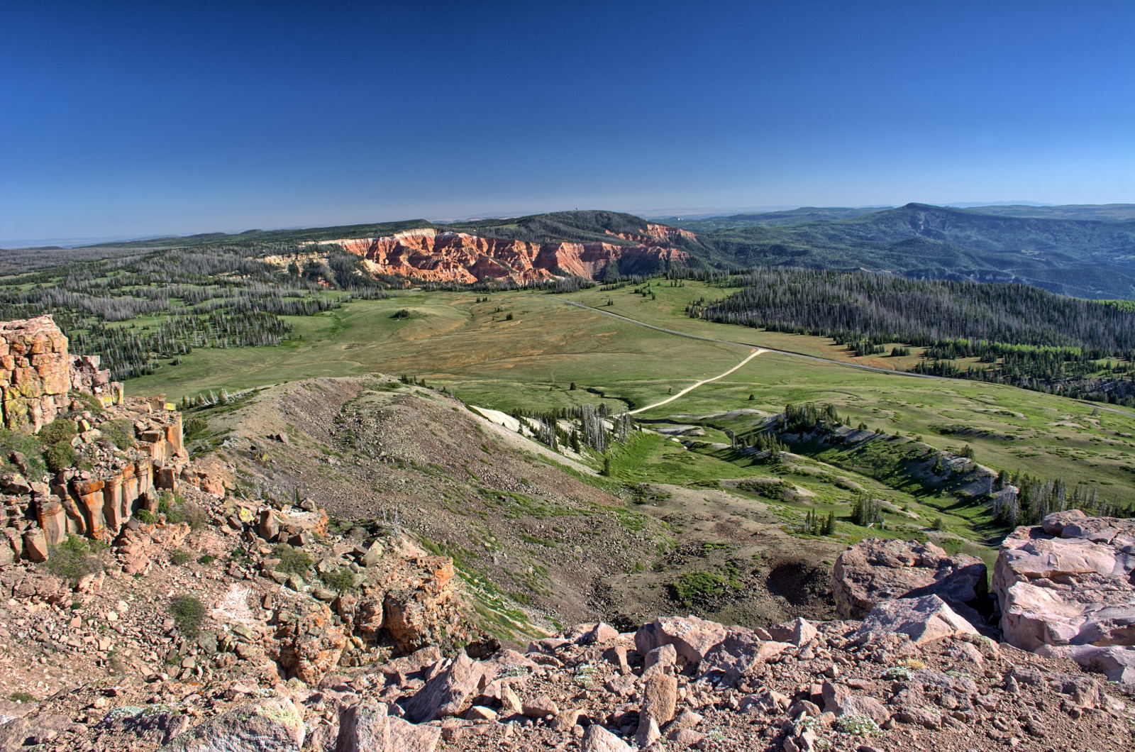
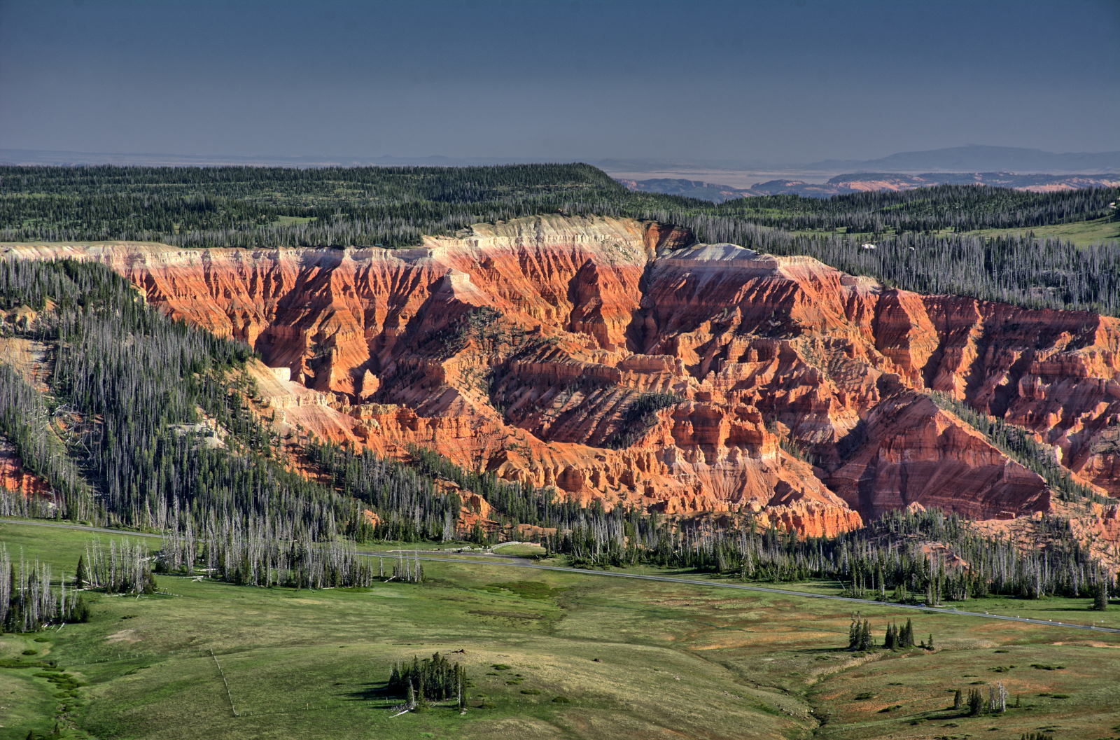
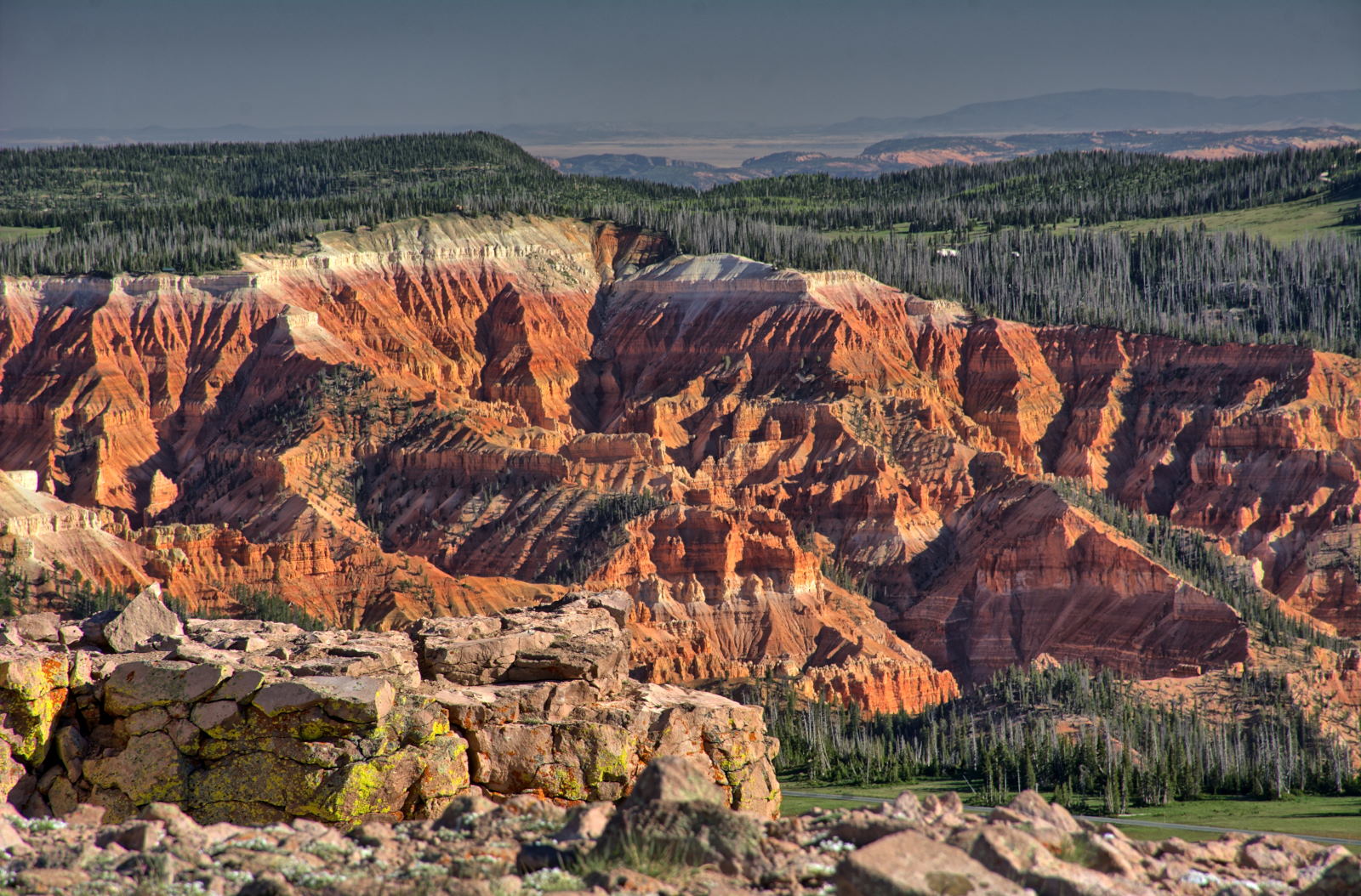
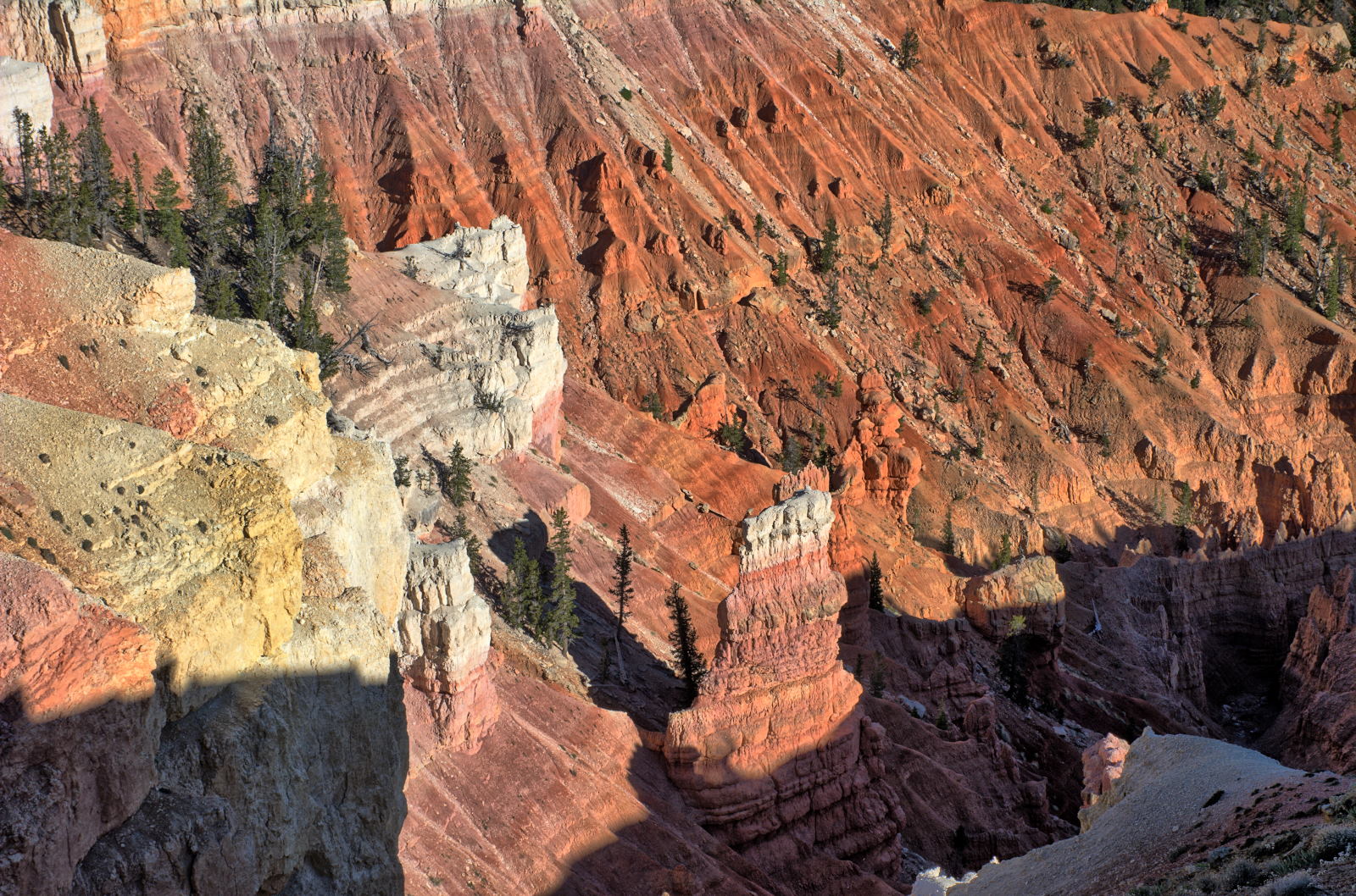
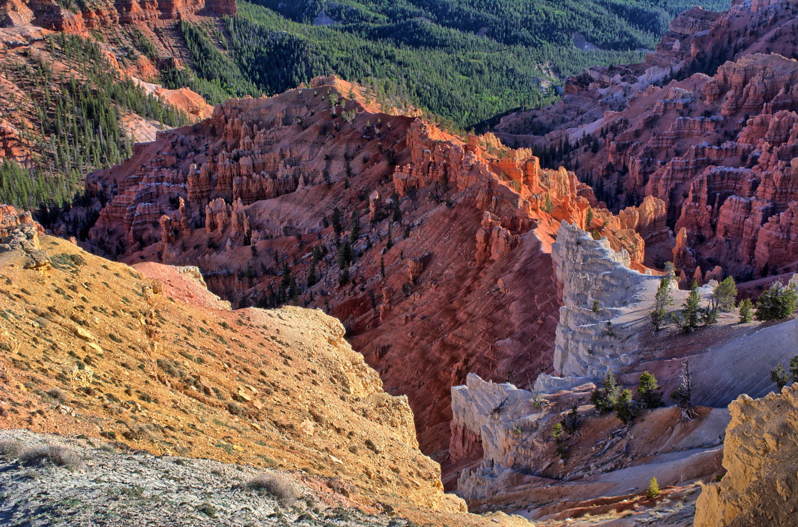
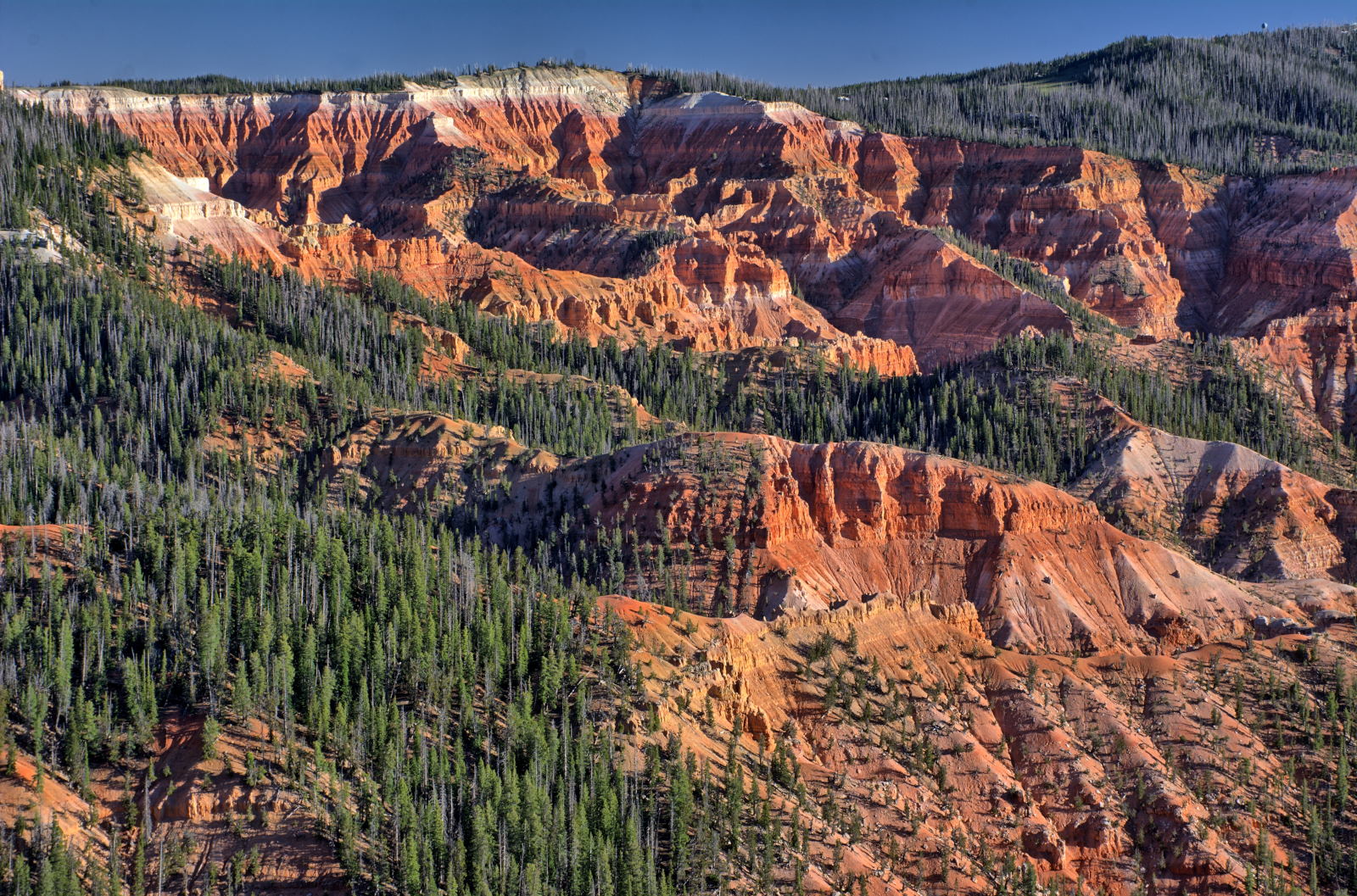
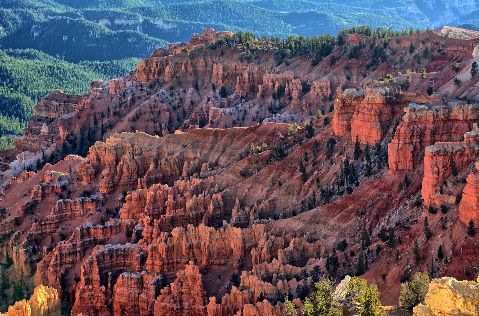
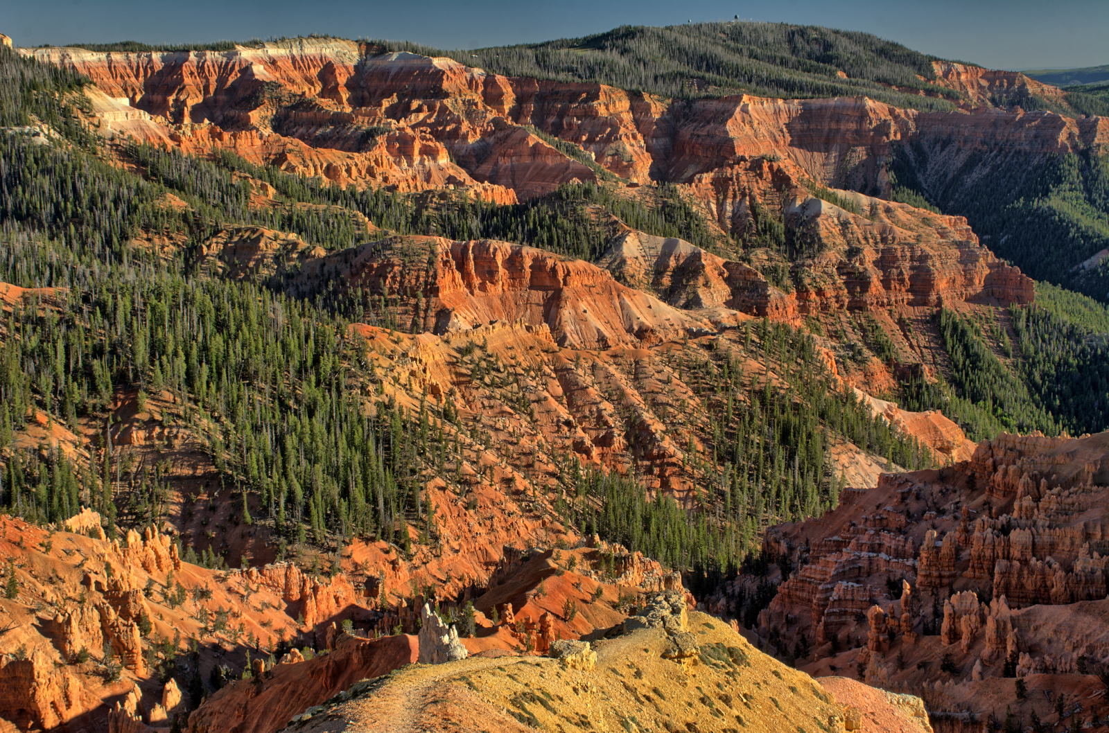
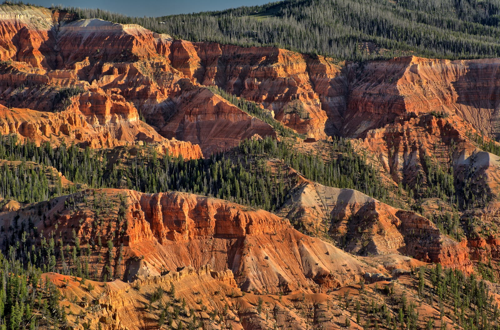
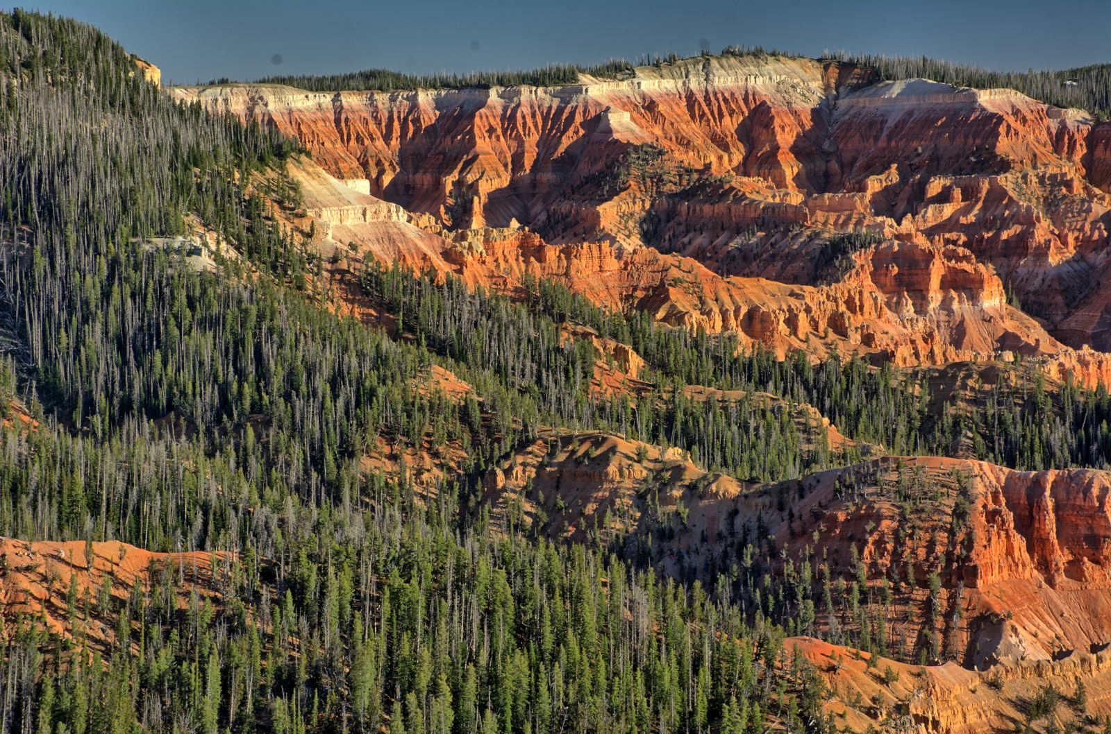
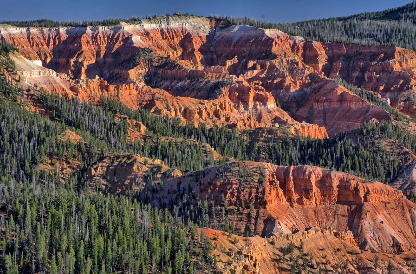
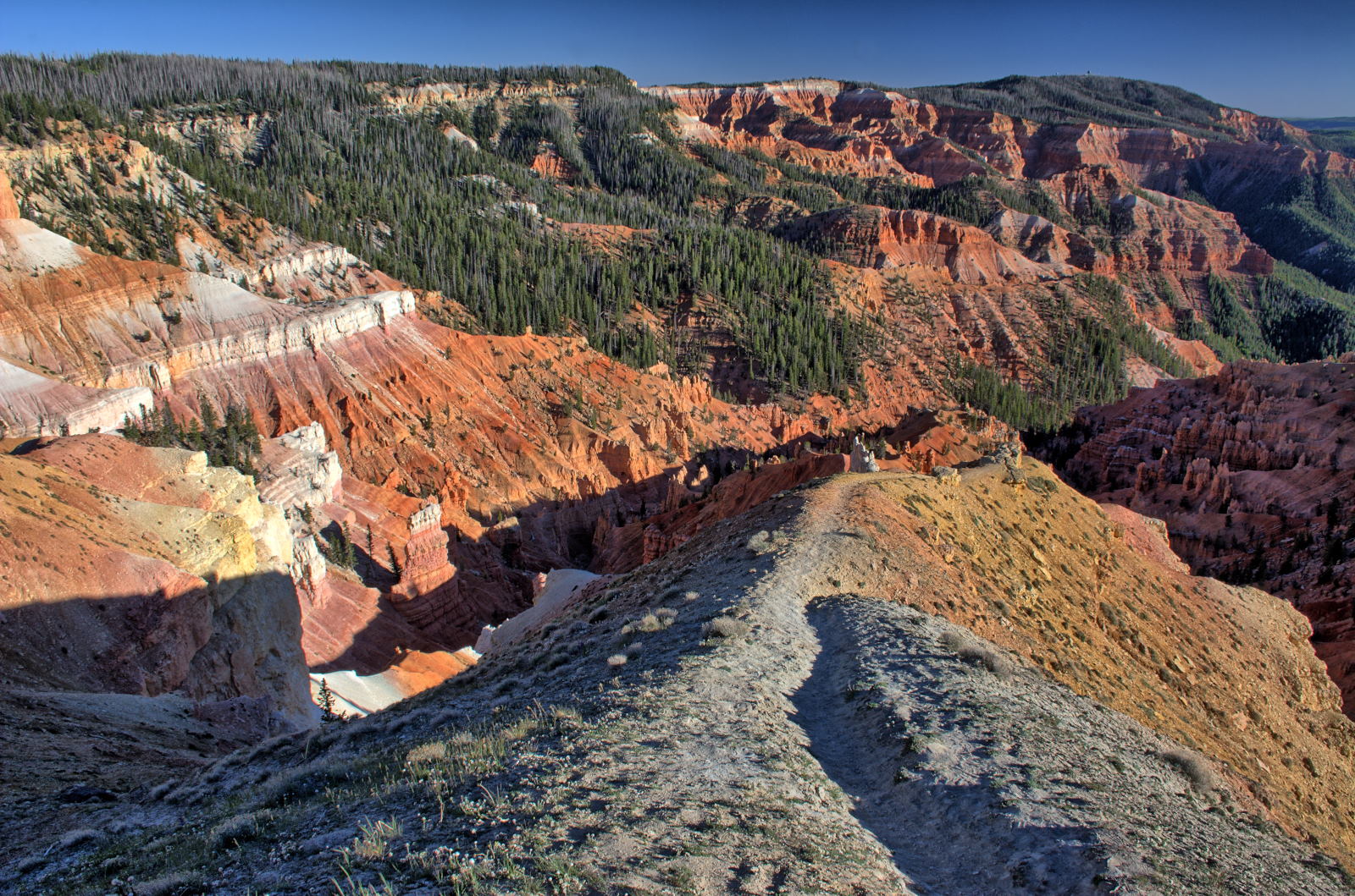
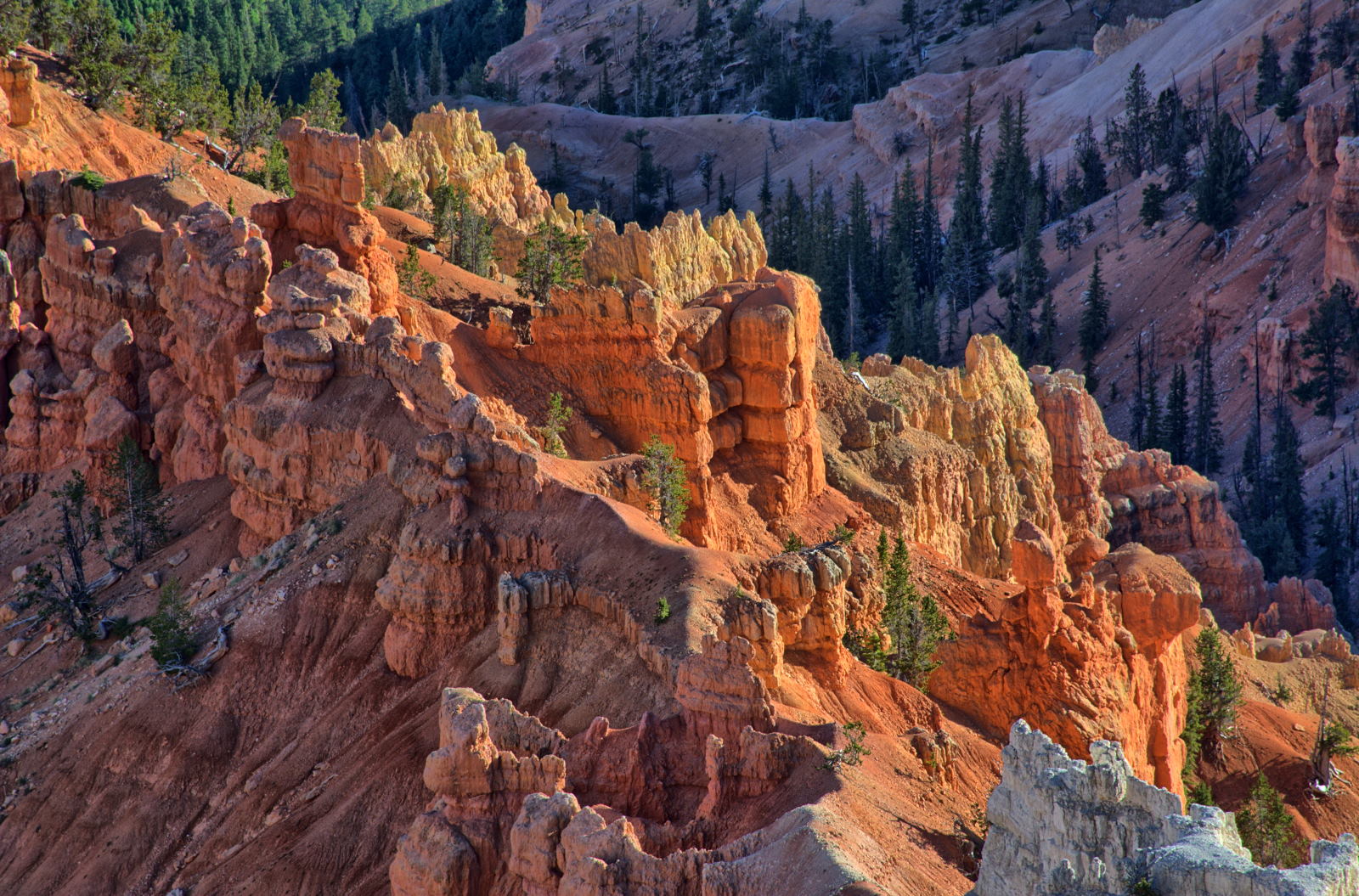
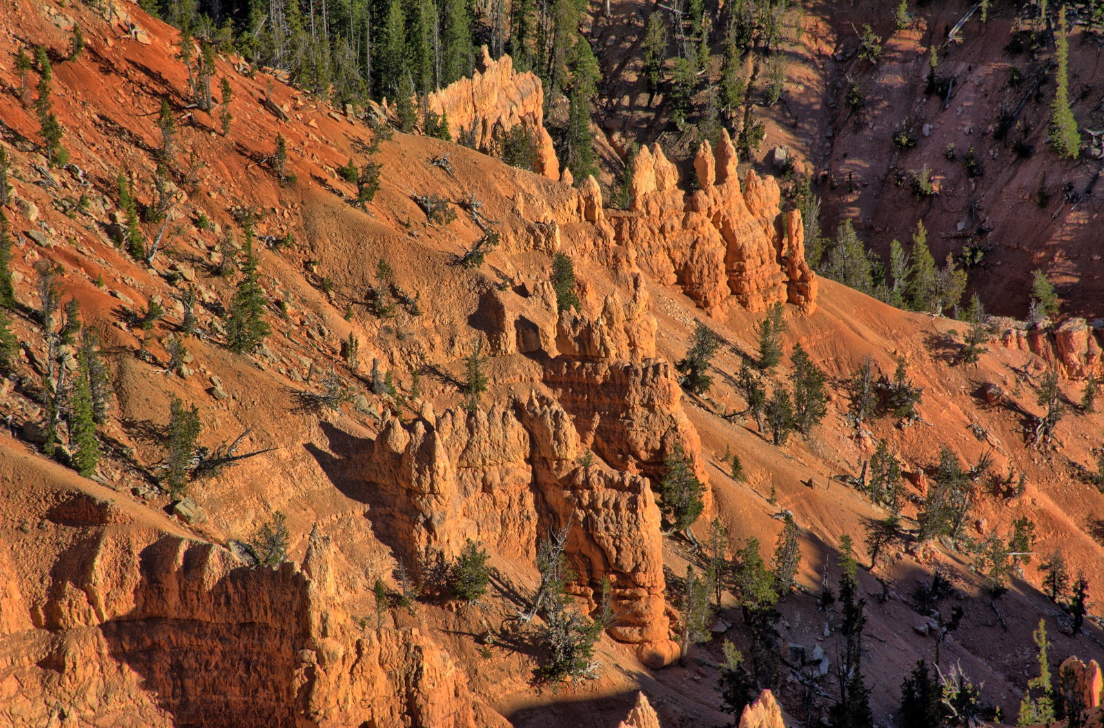
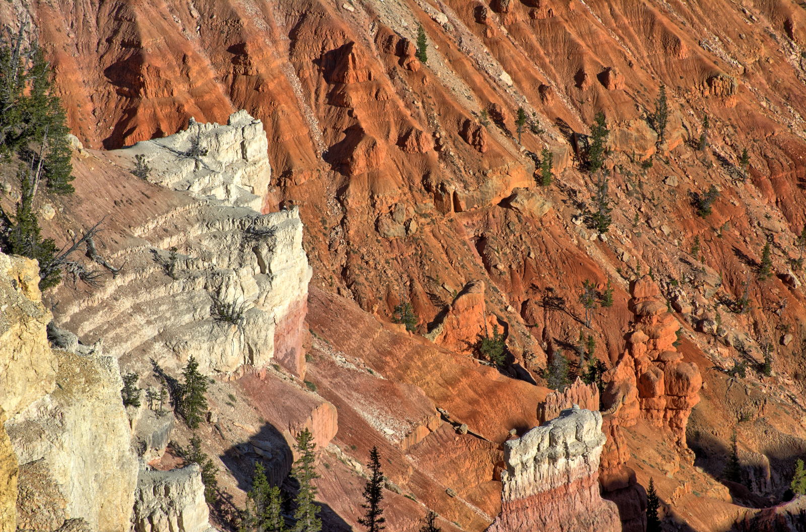
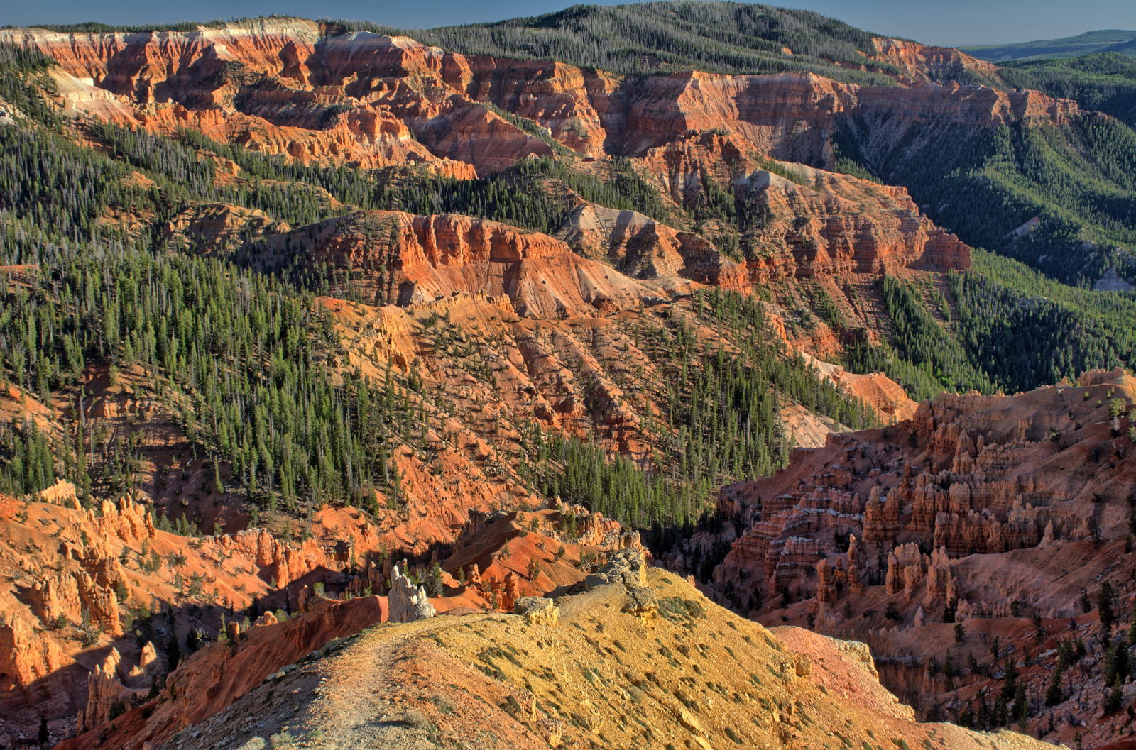
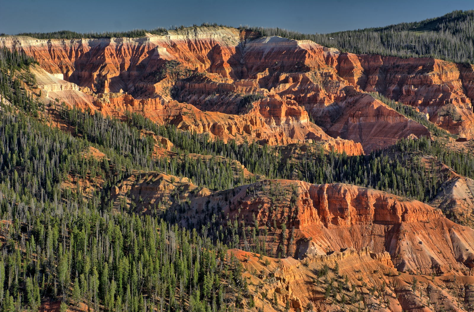
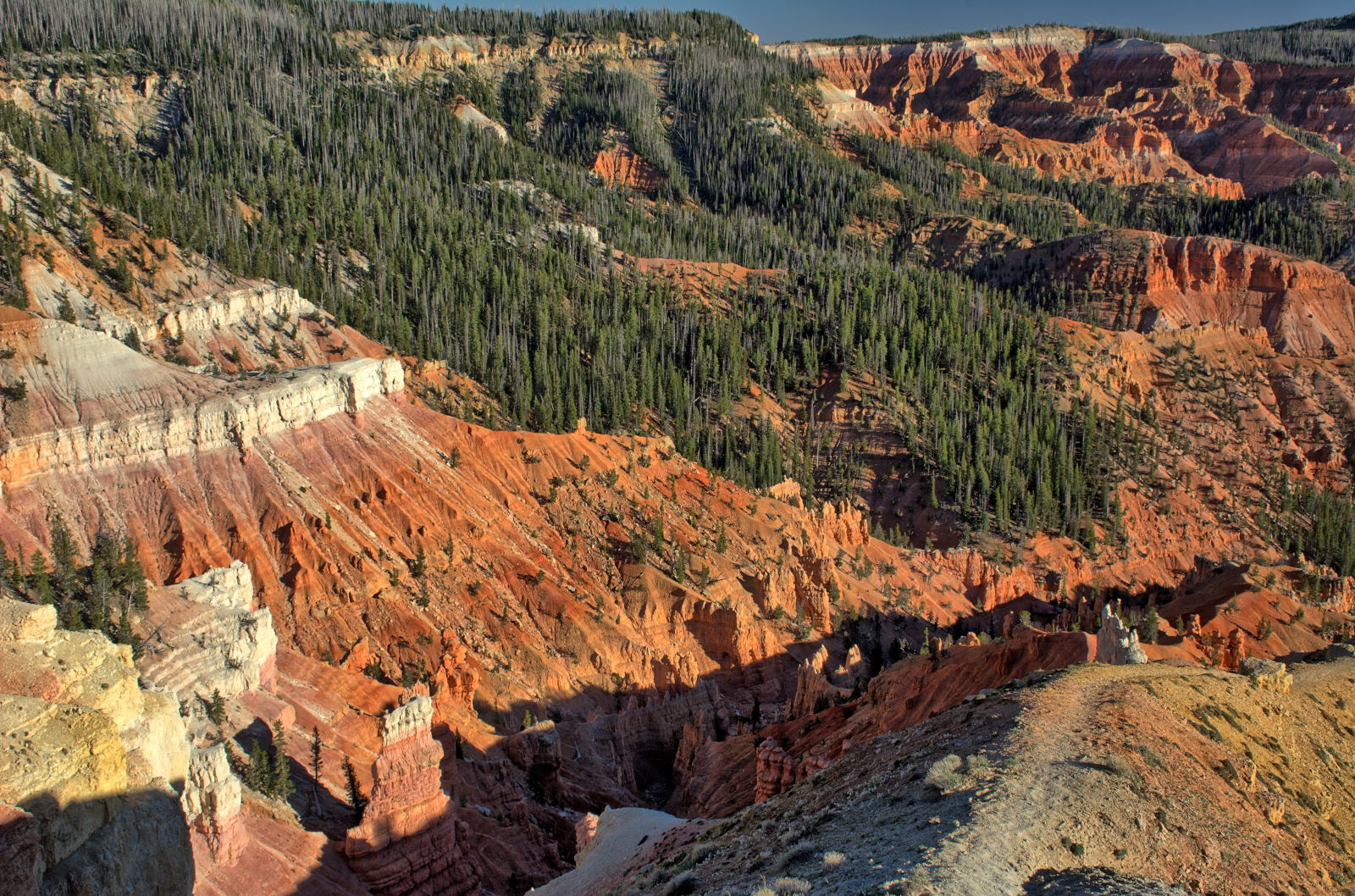
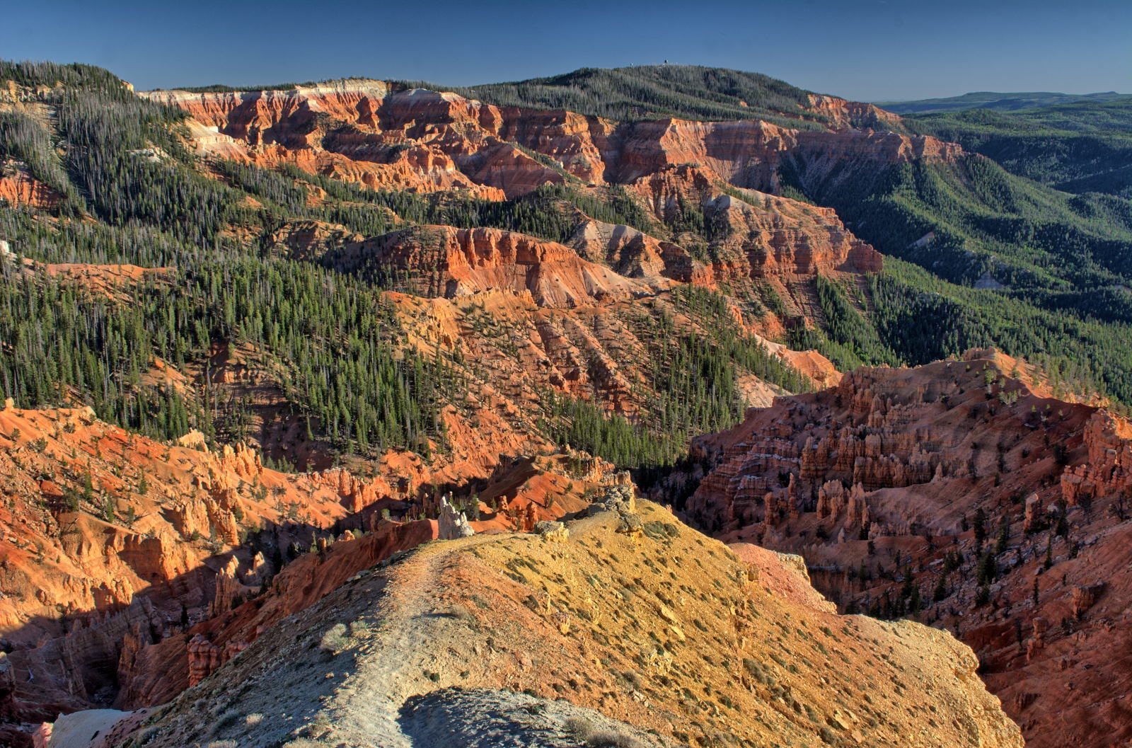
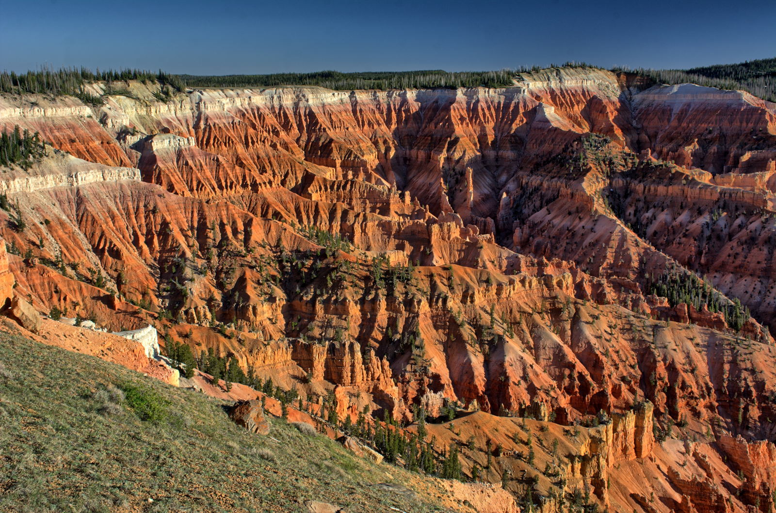
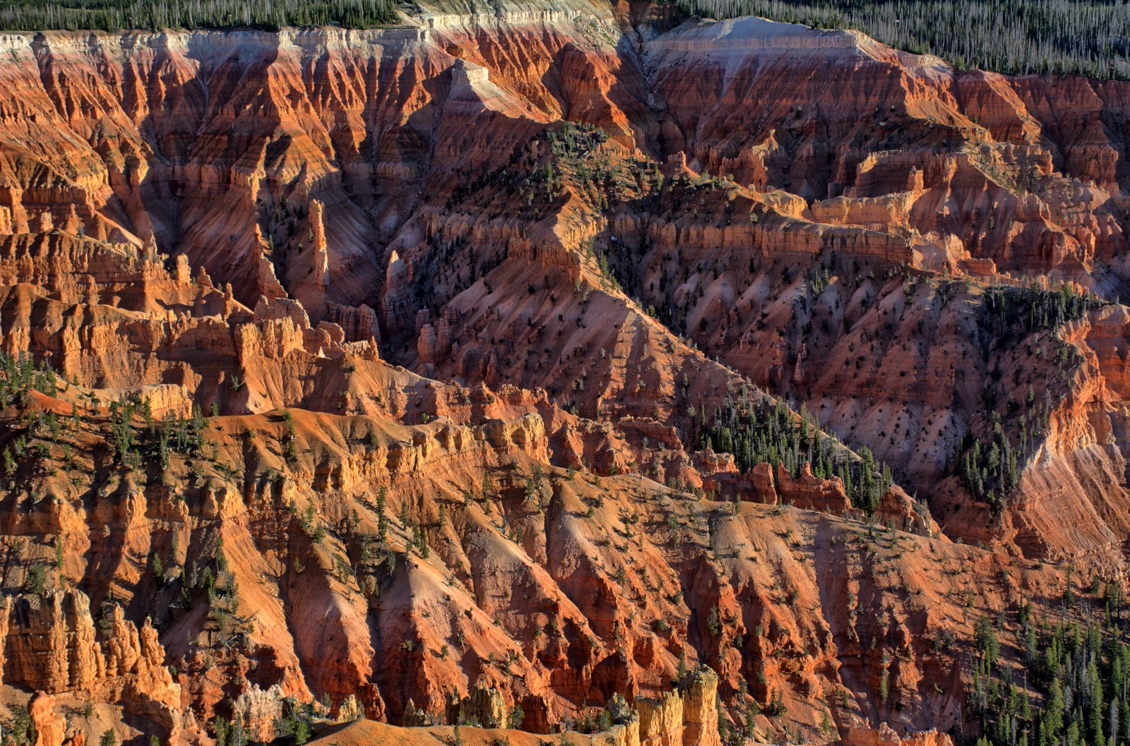
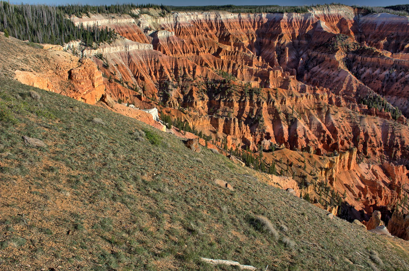
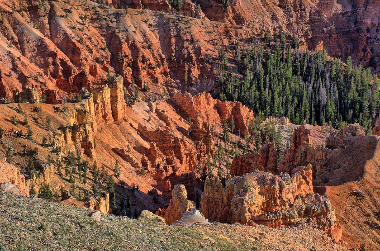
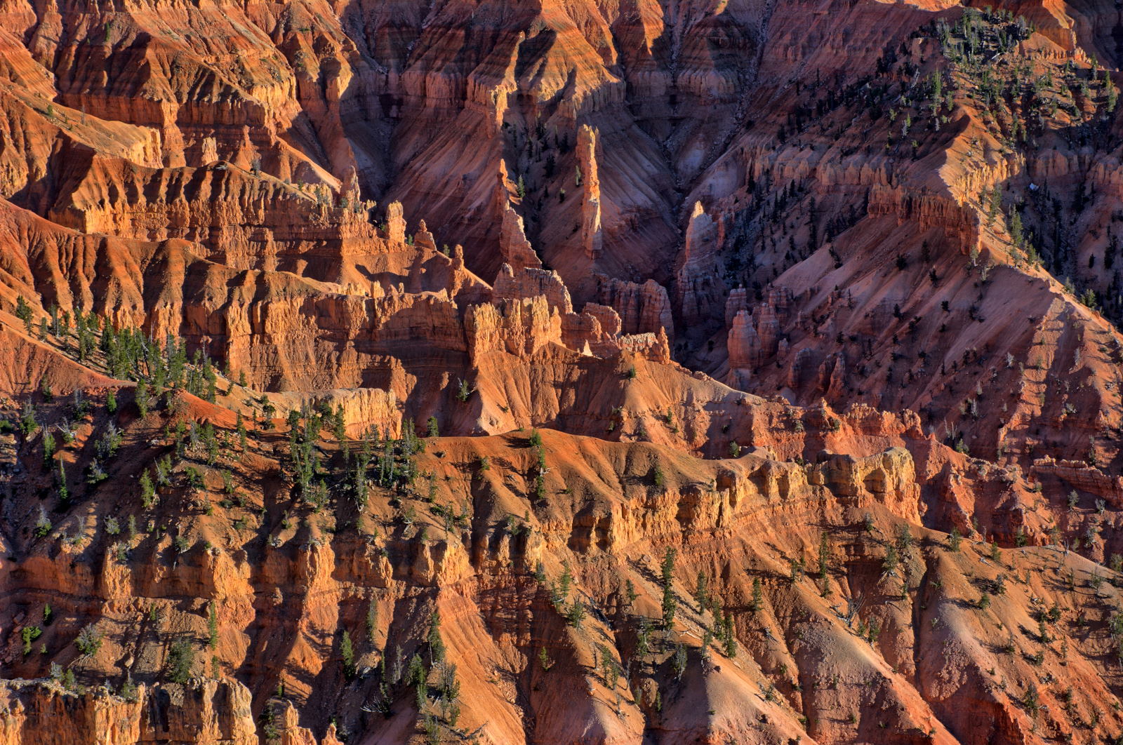
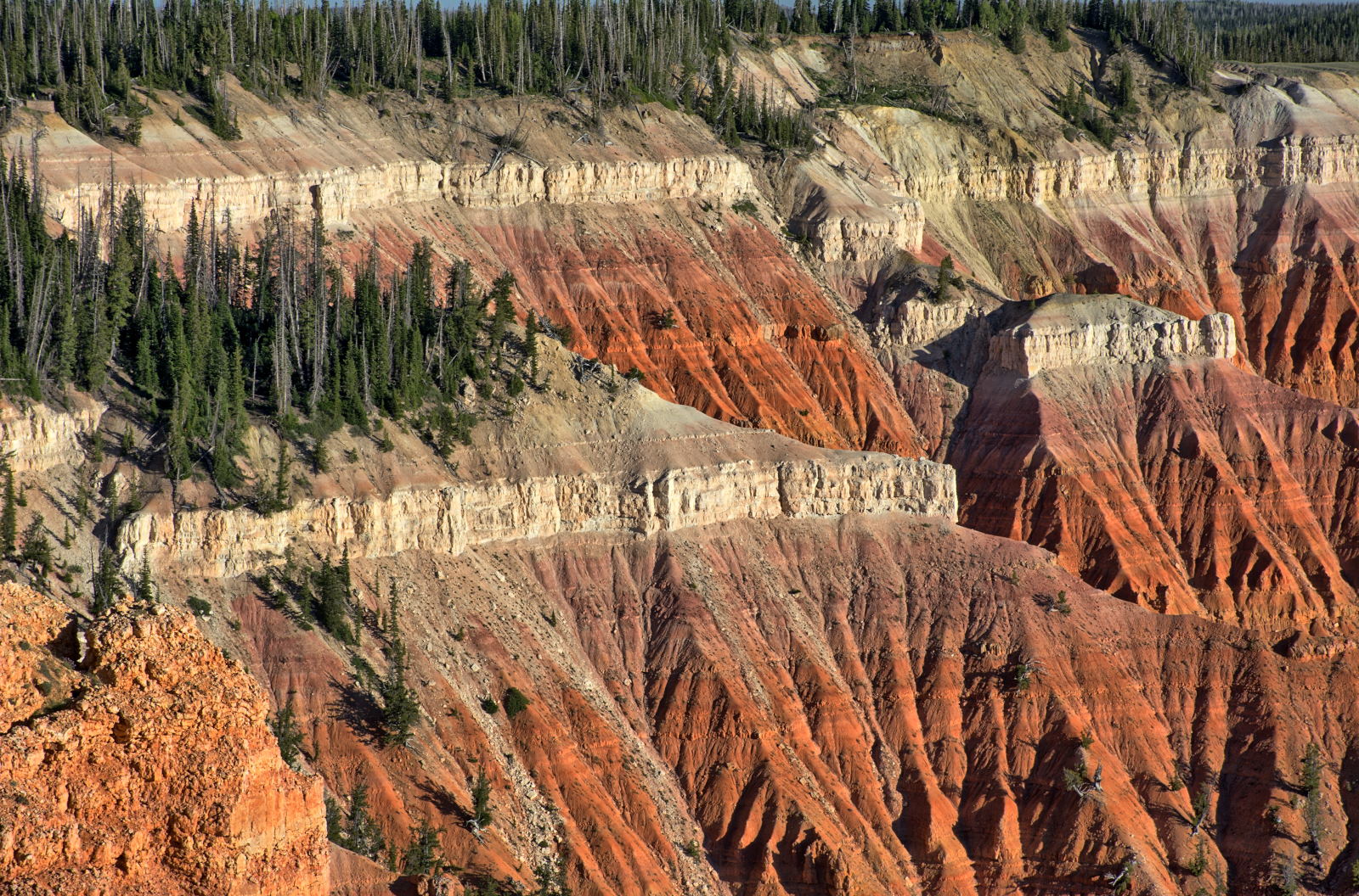
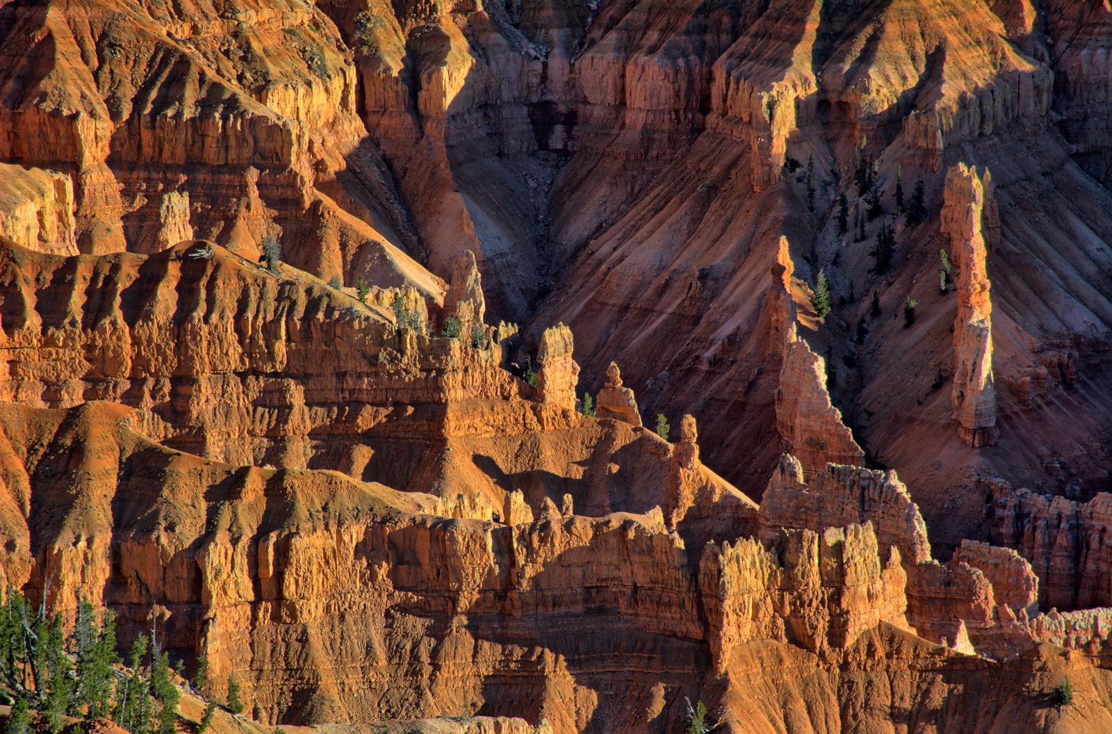
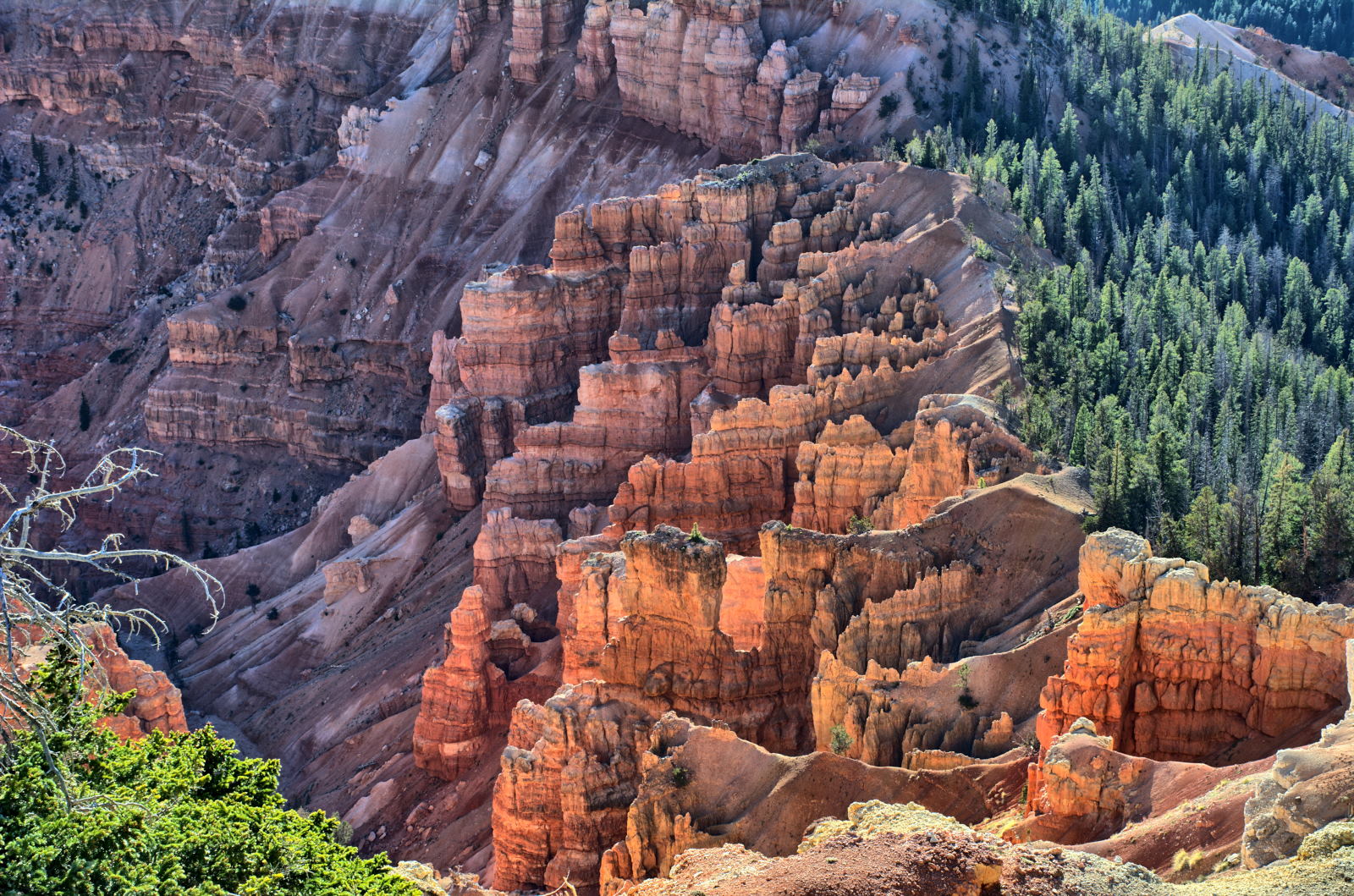
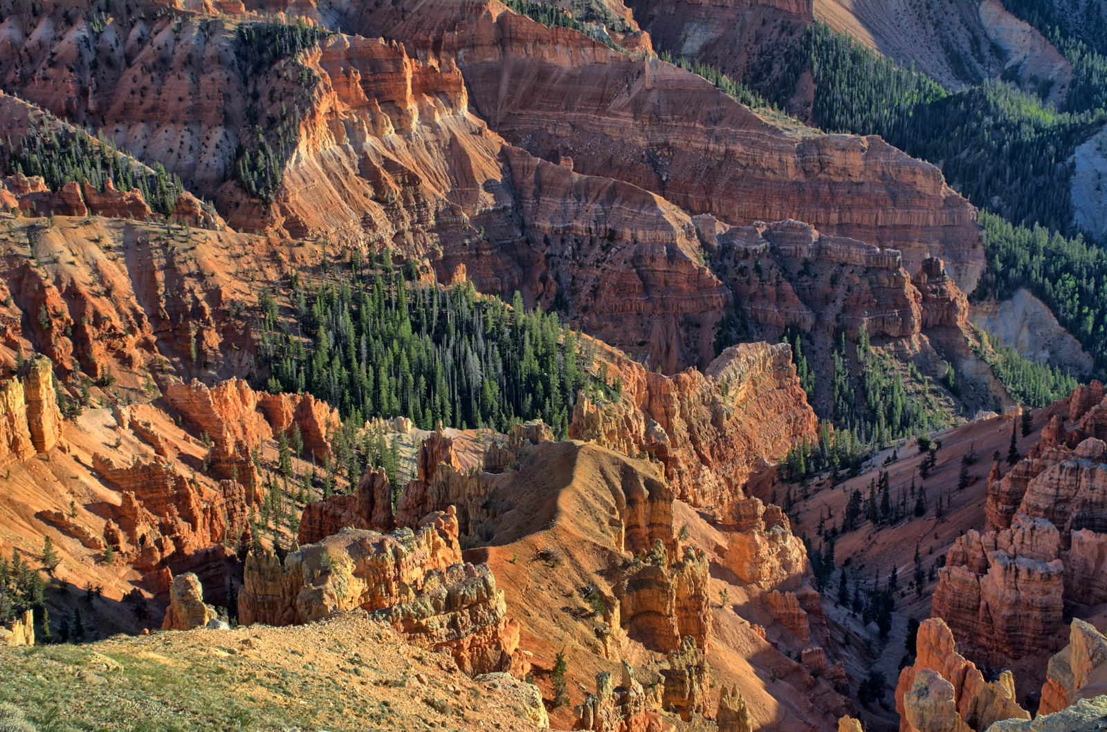
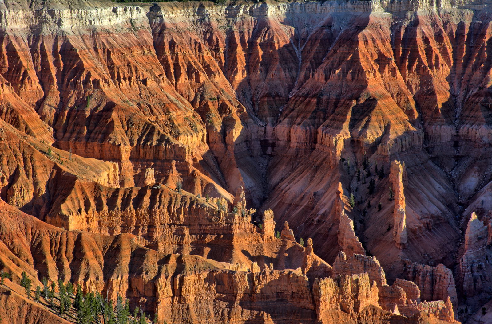
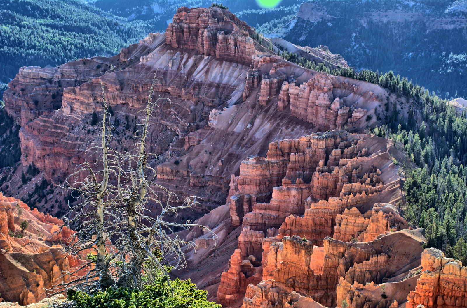
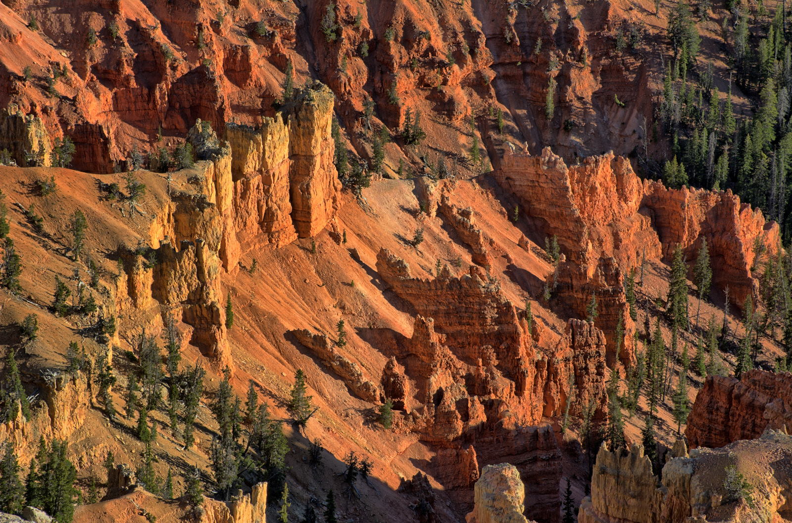
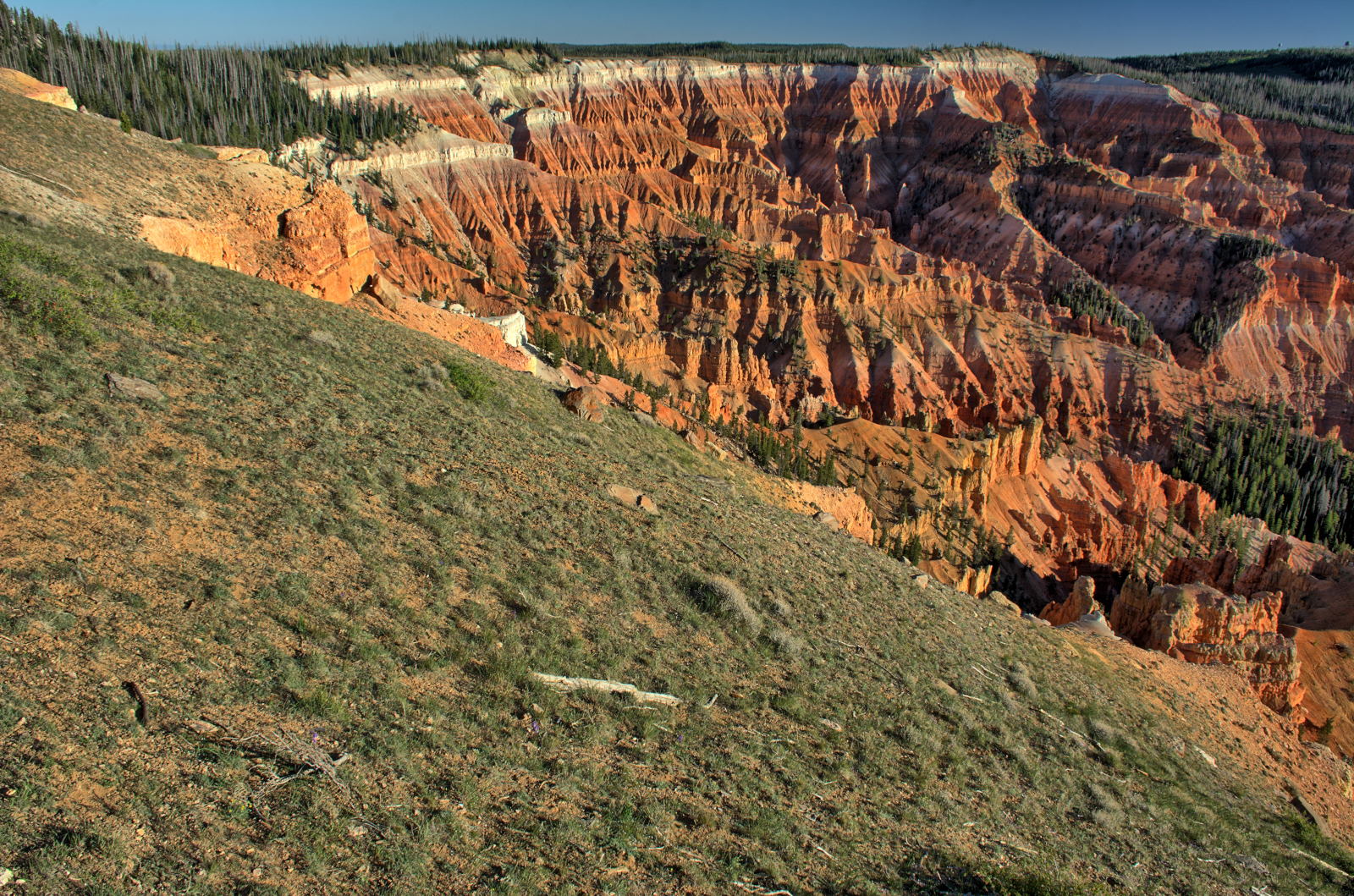
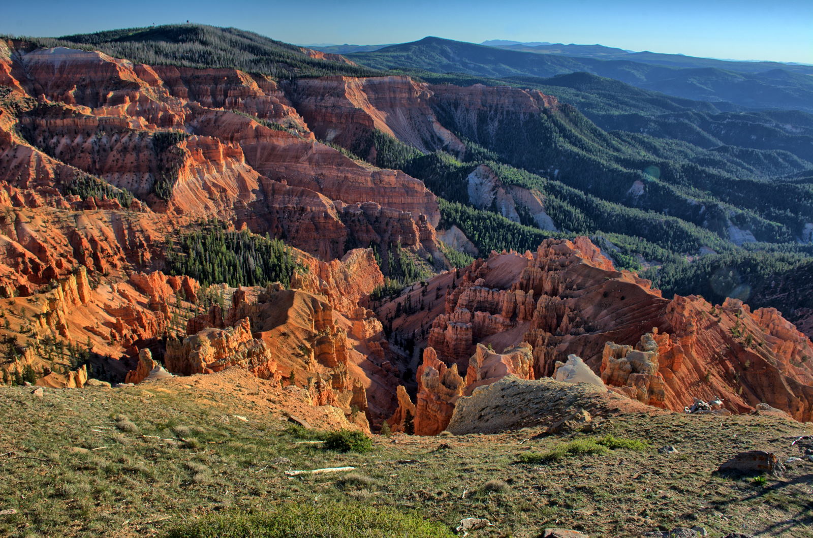
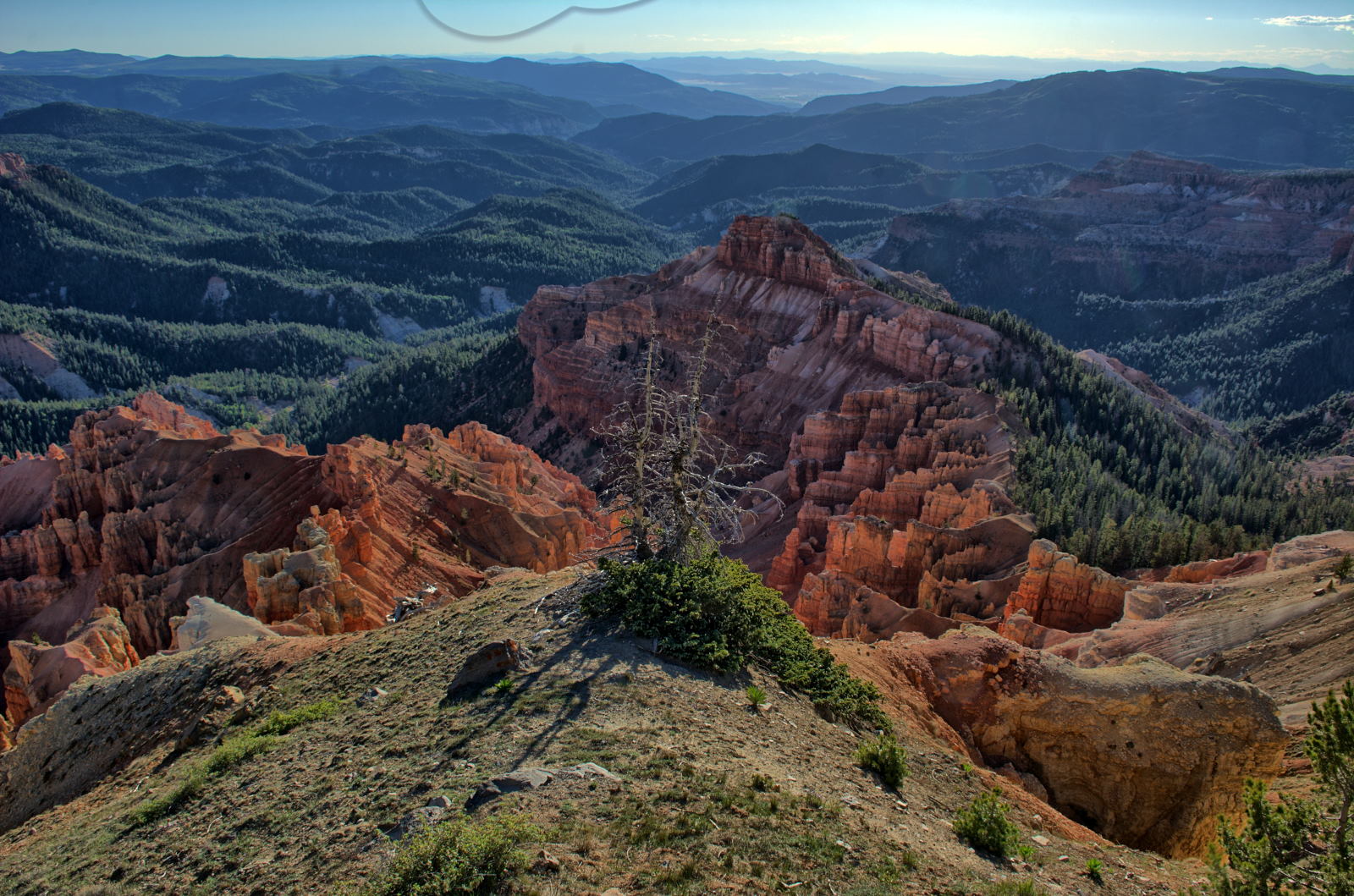
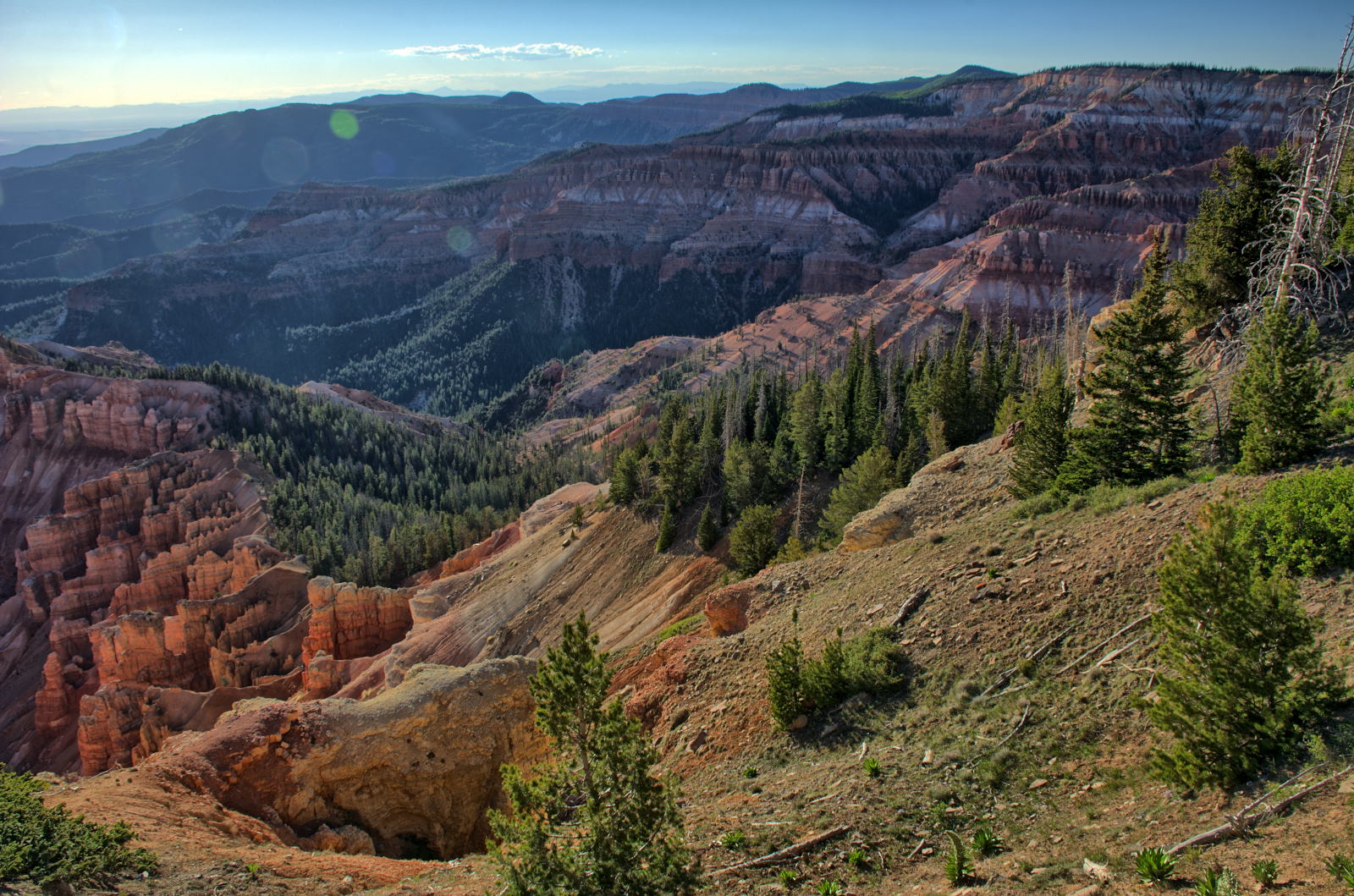
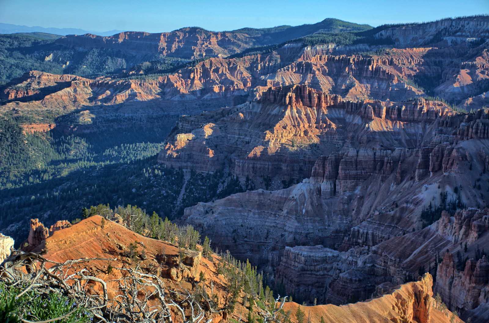
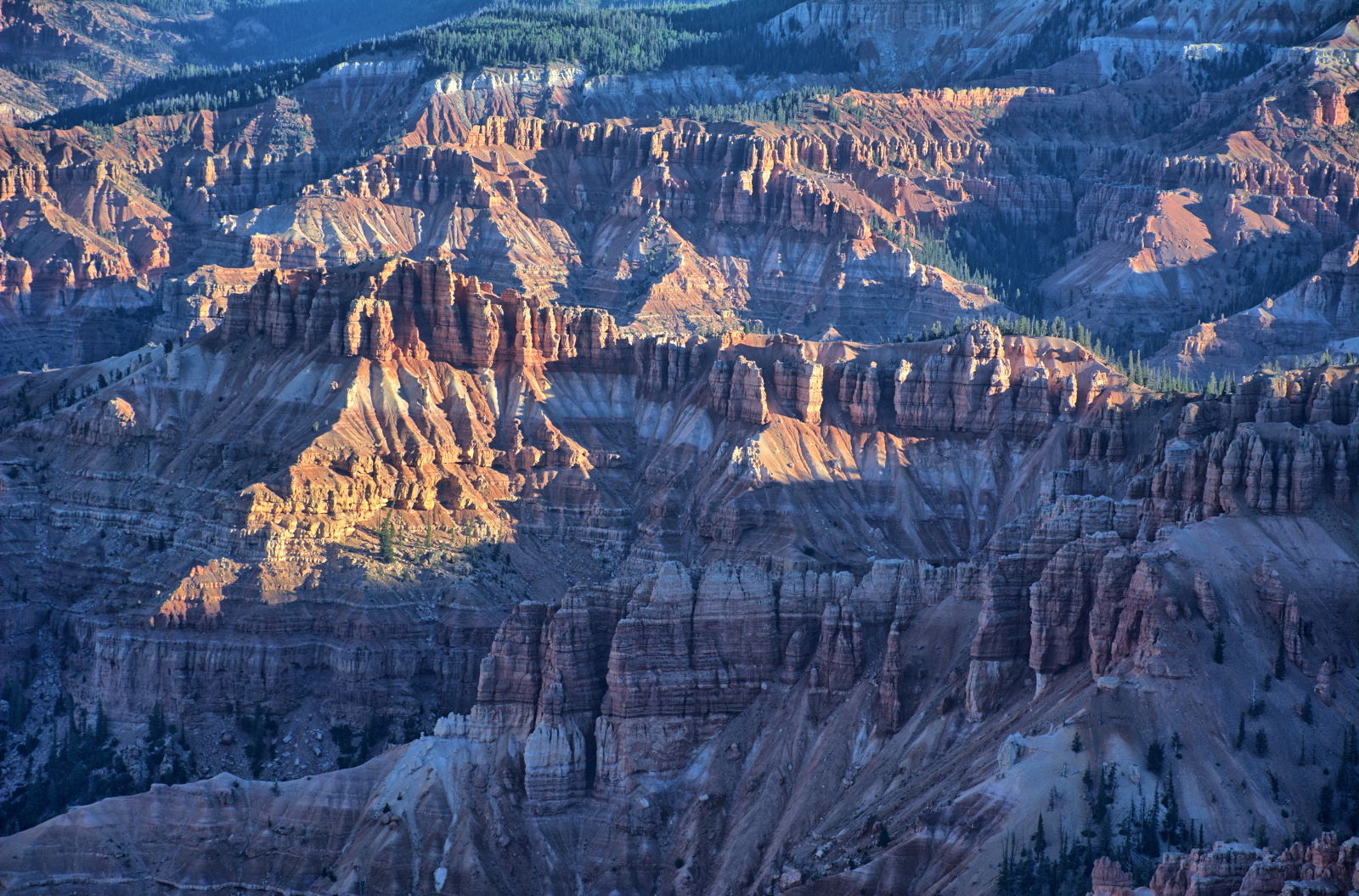
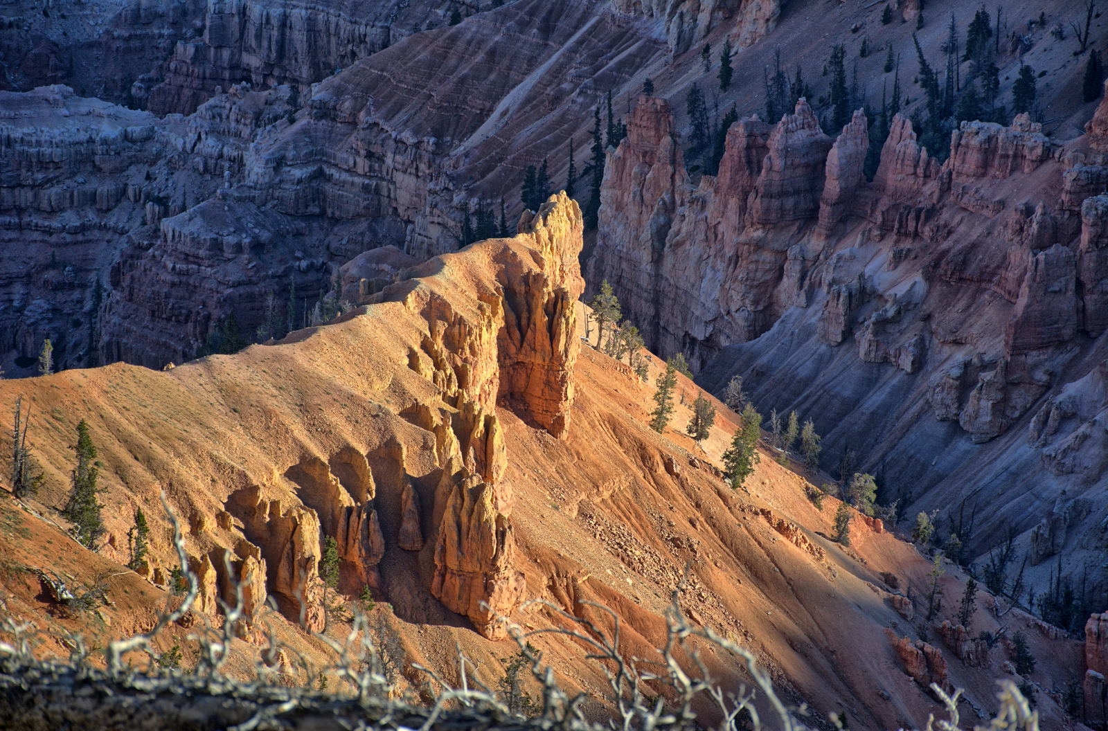
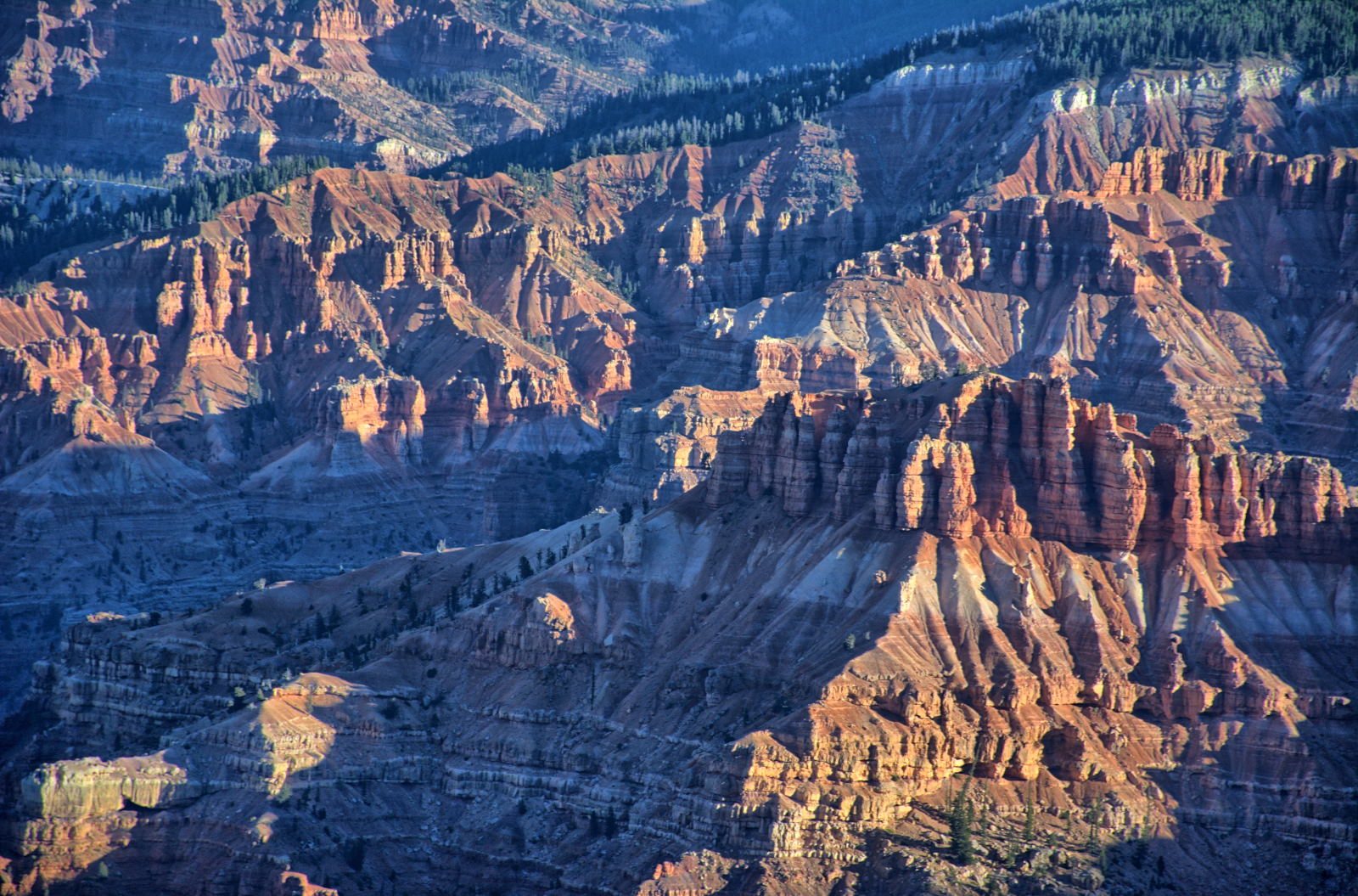
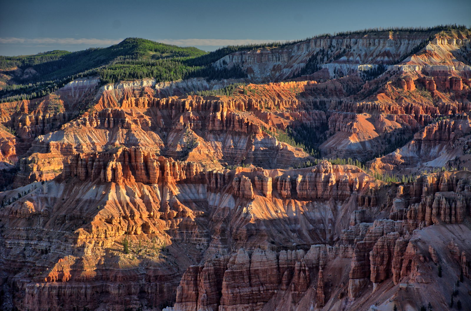
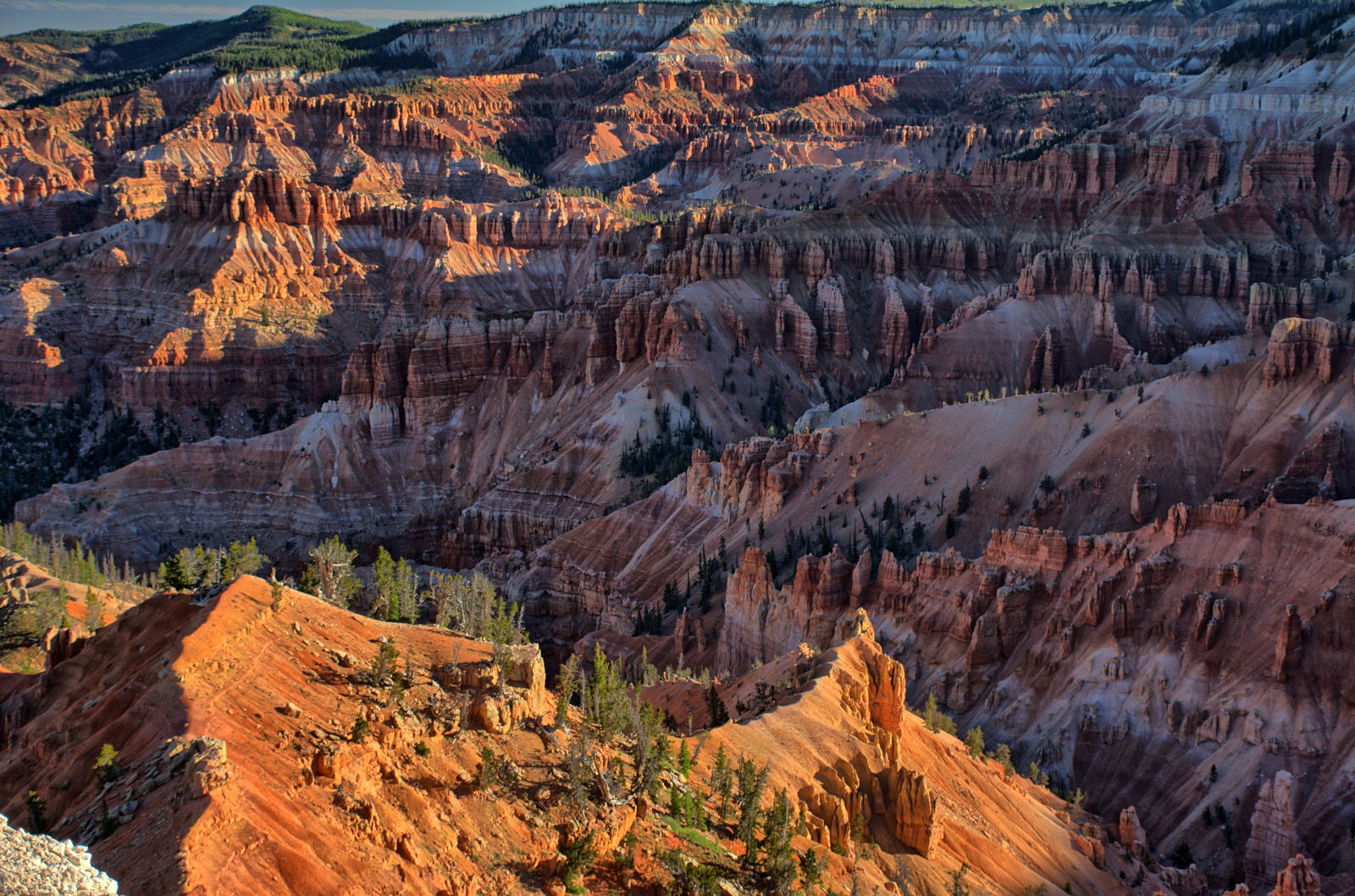
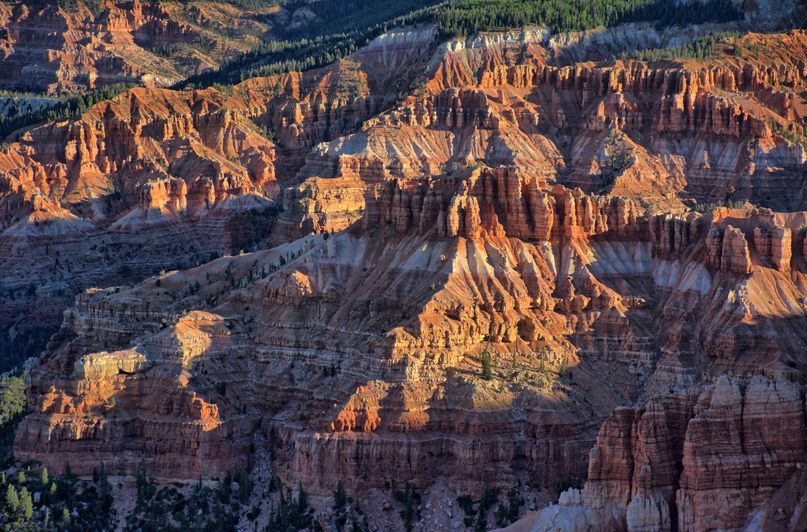
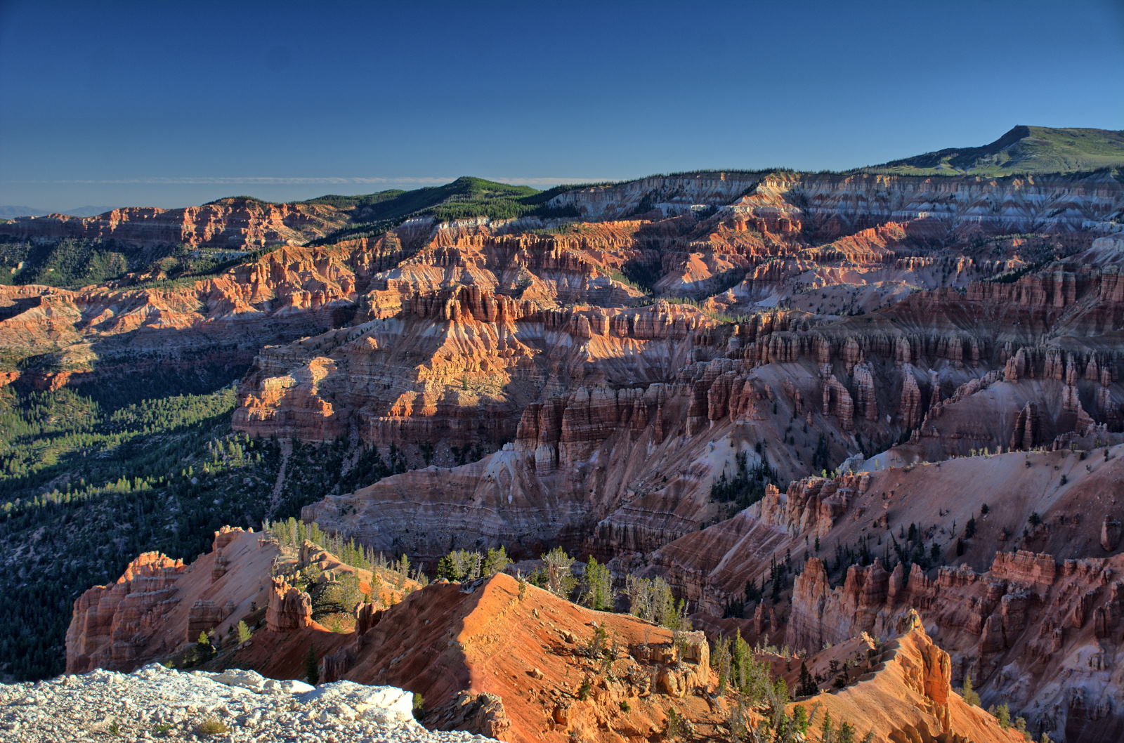
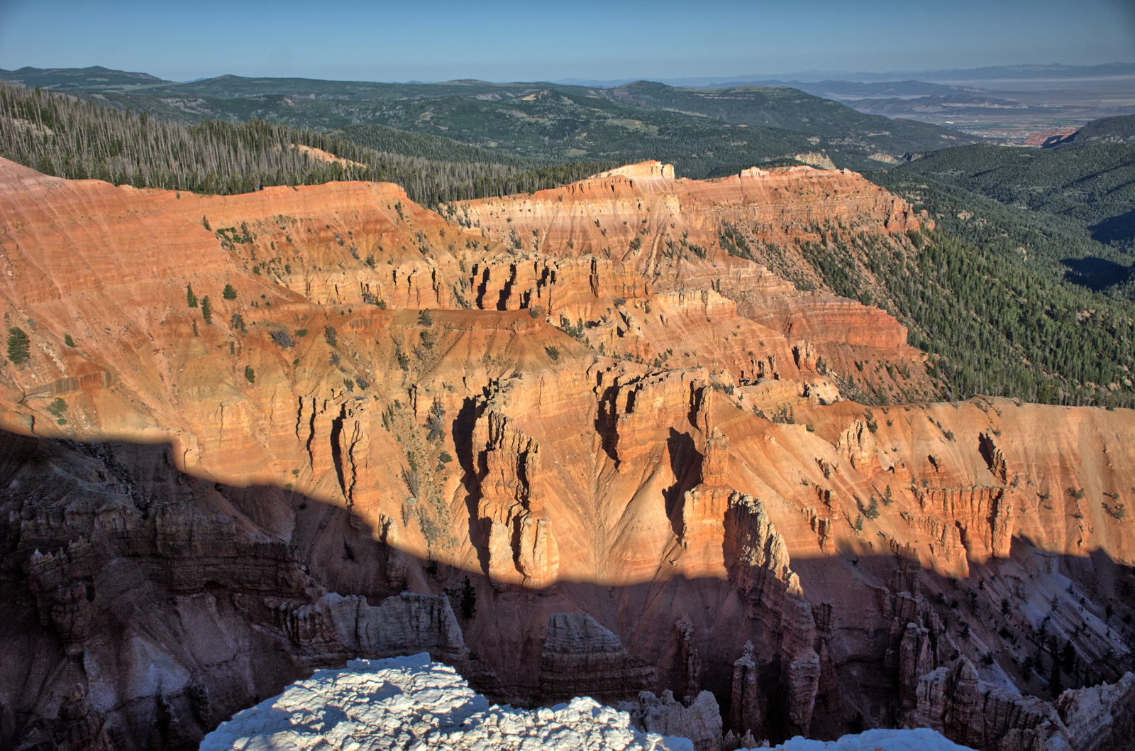
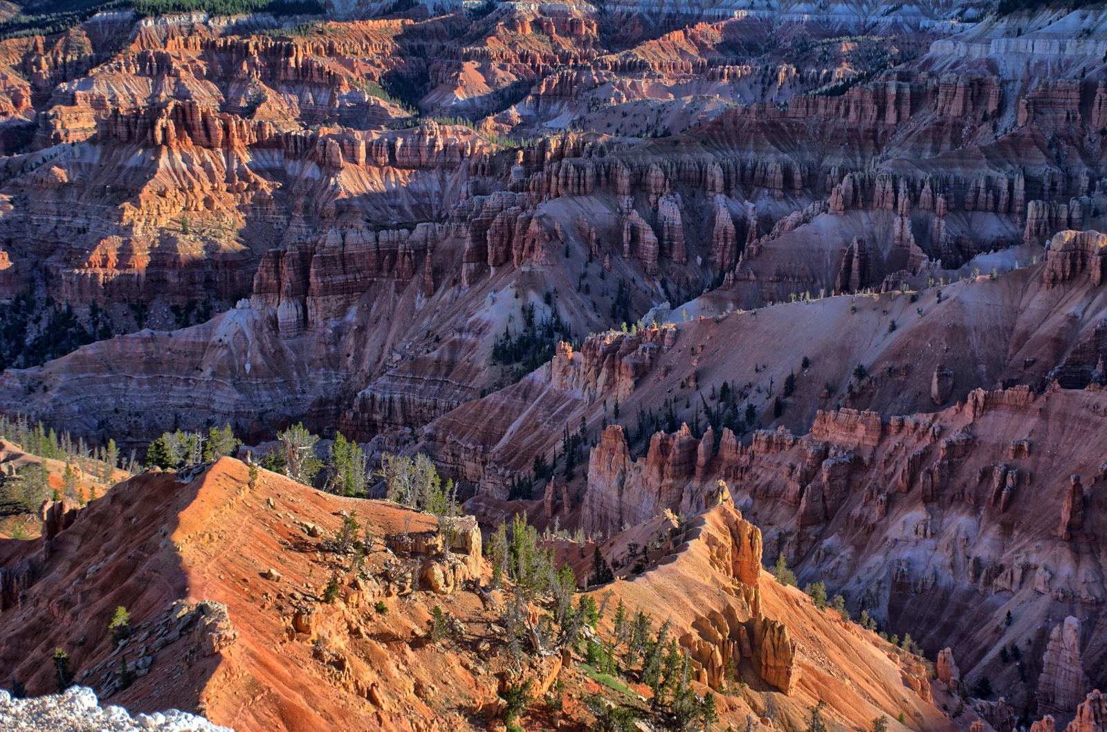
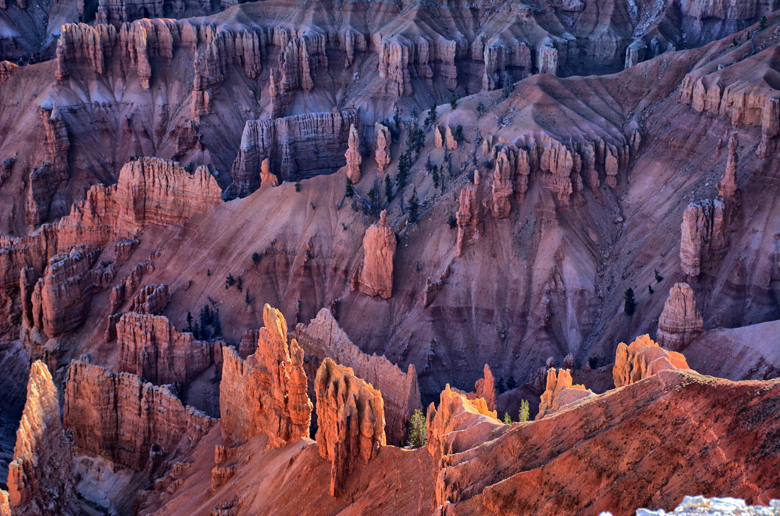
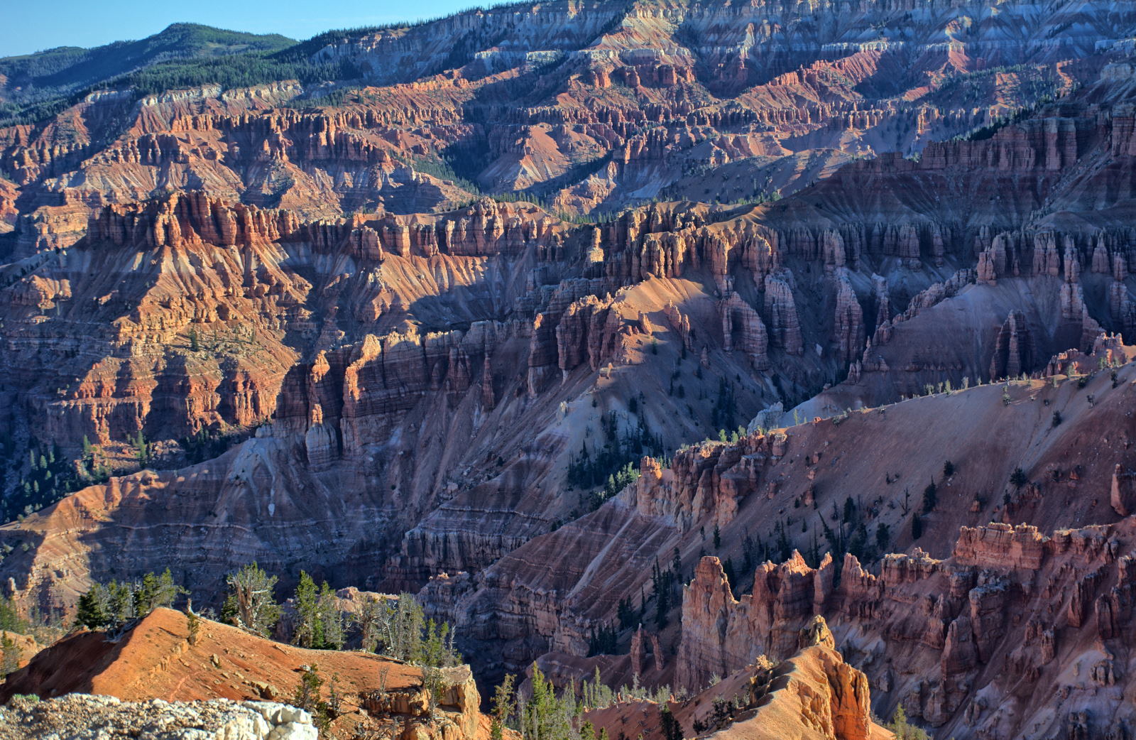
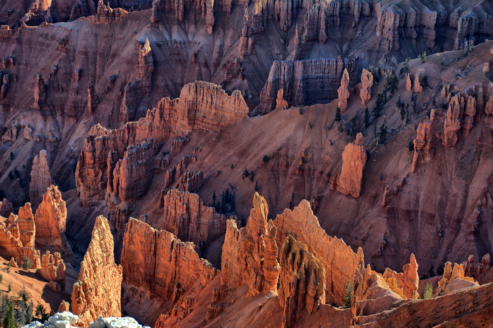
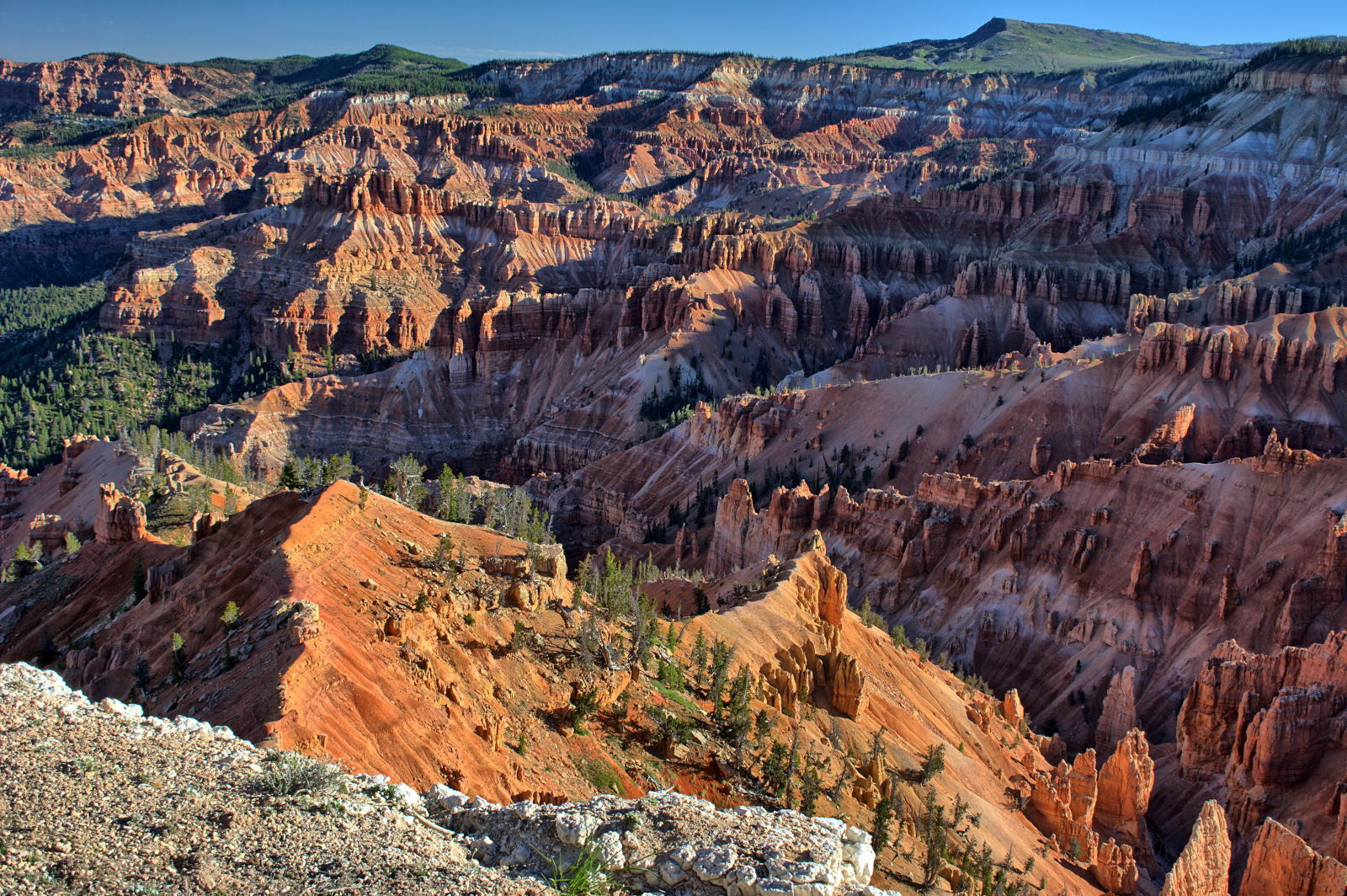
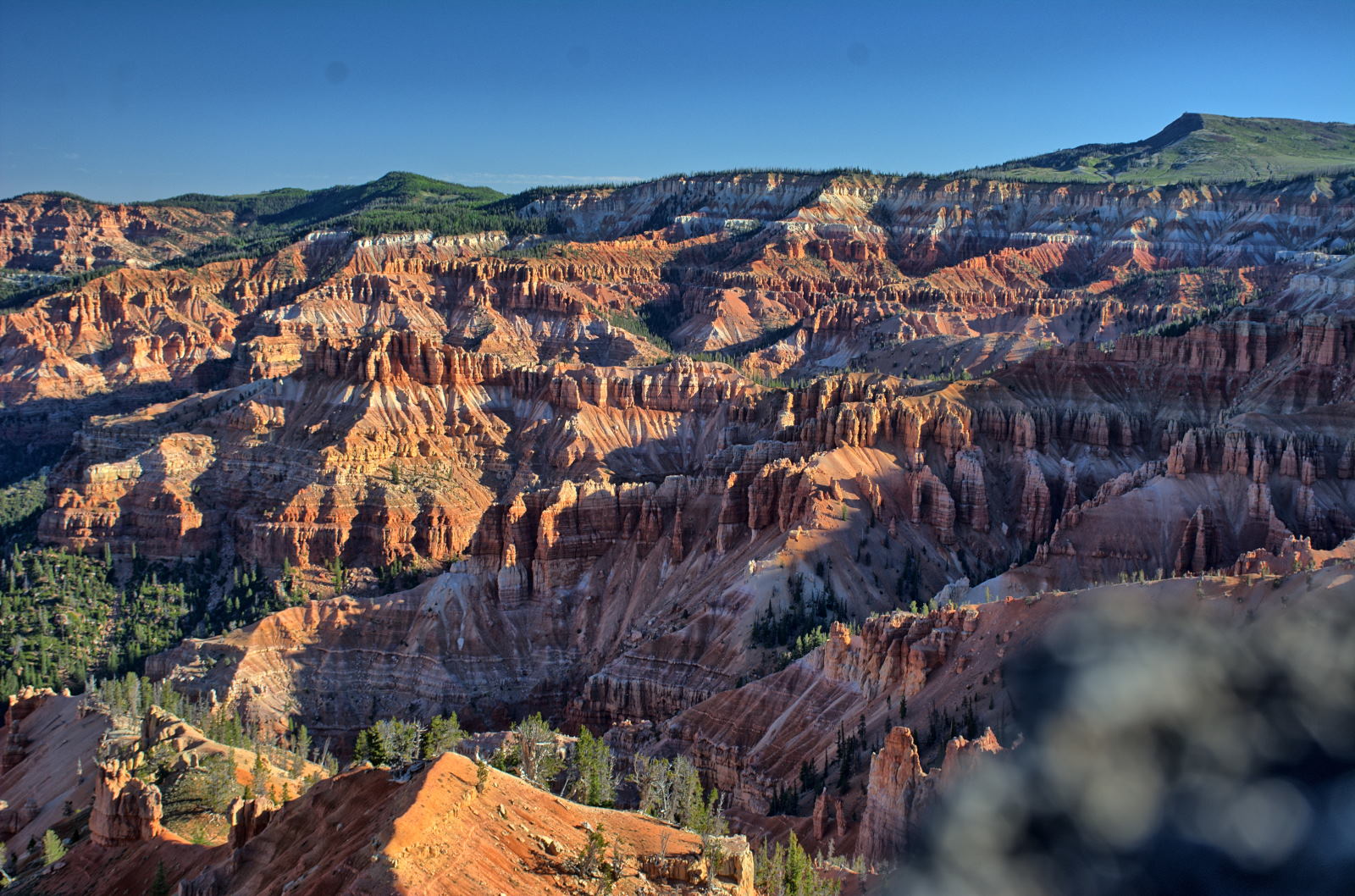
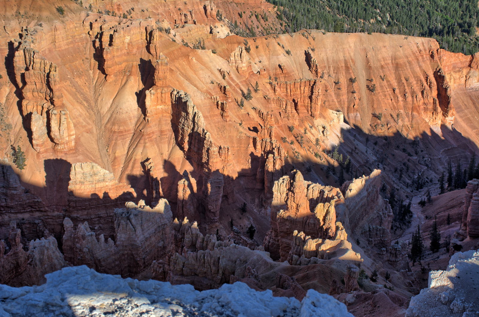
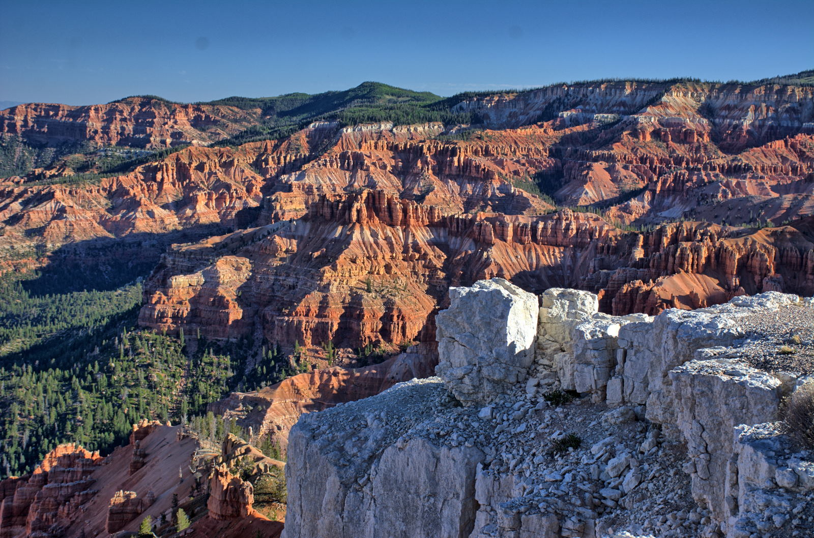
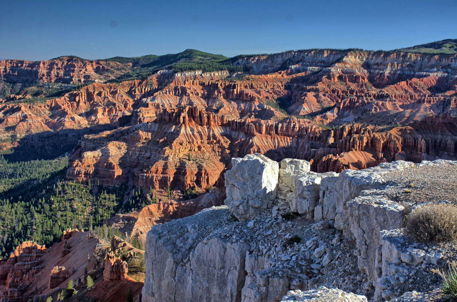
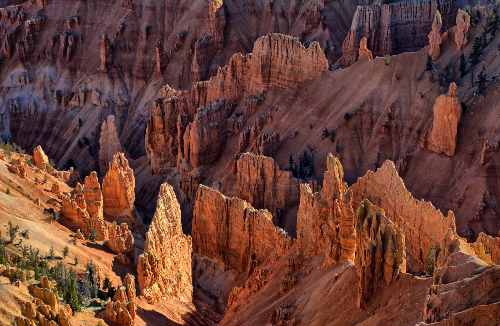
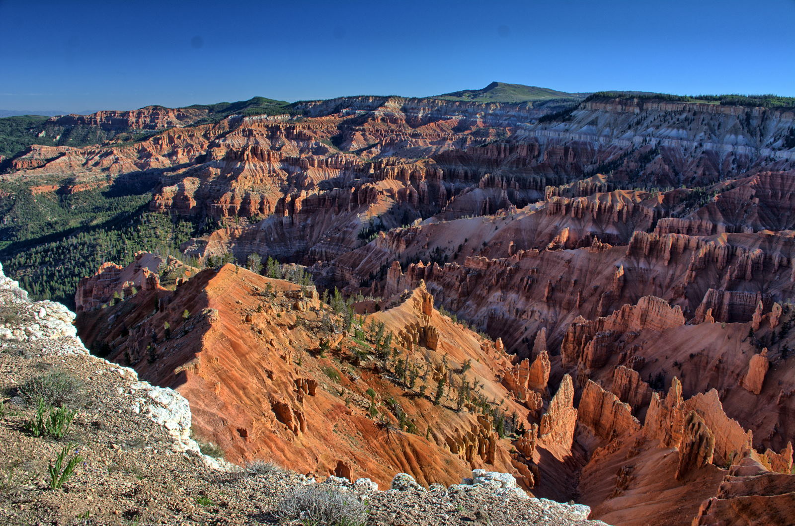
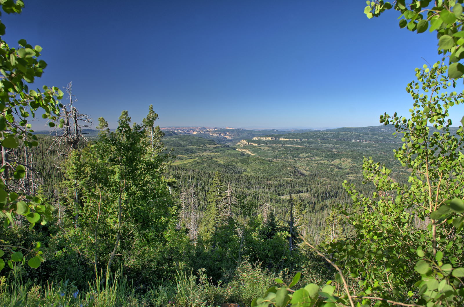
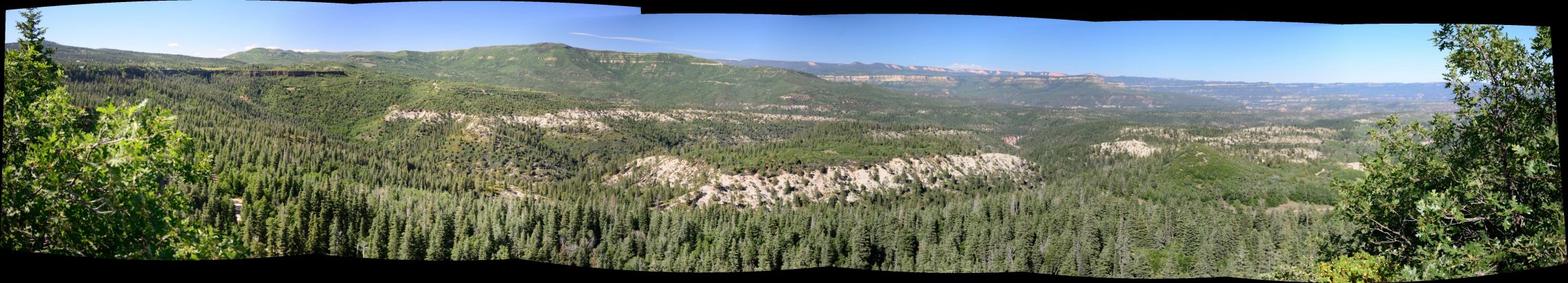
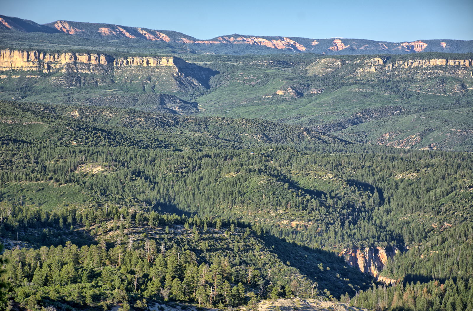
View from Brian Head Peak to Cedar Breaks National Monument
Cedar Breaks National Monument
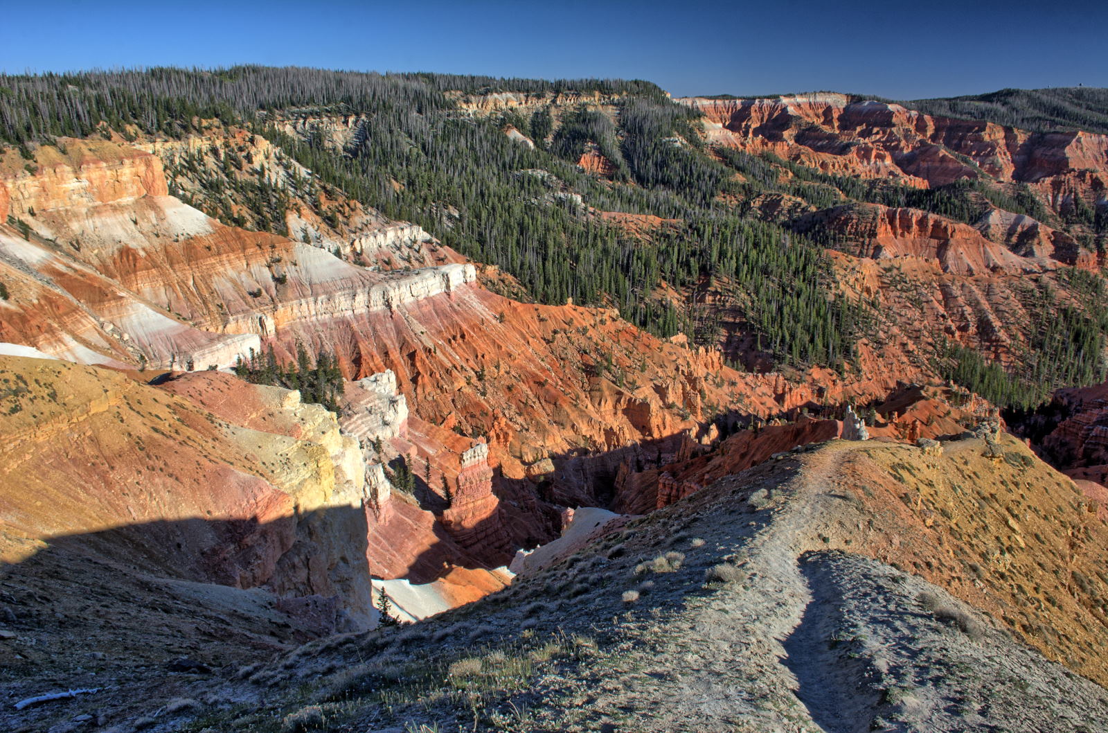
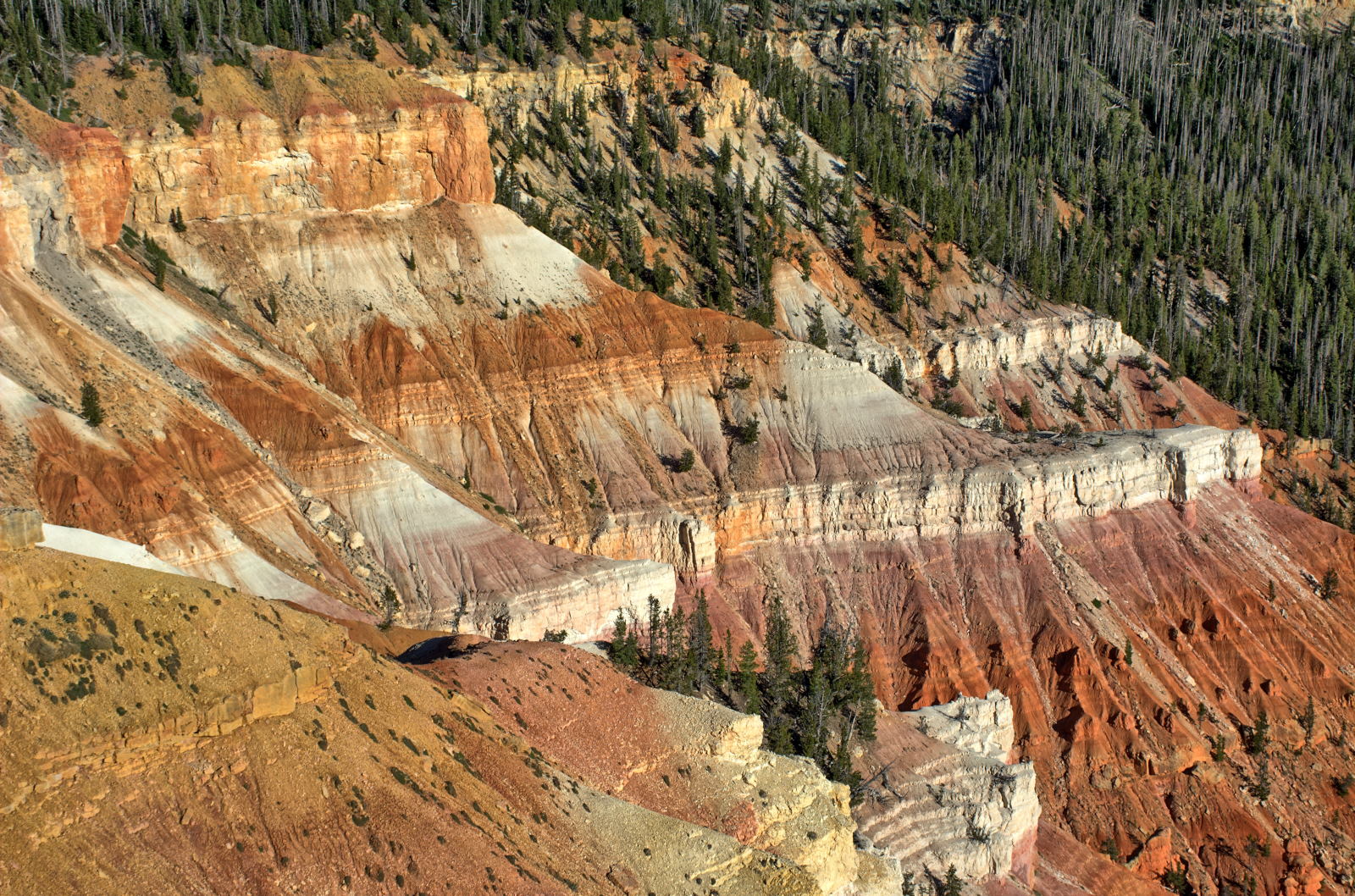
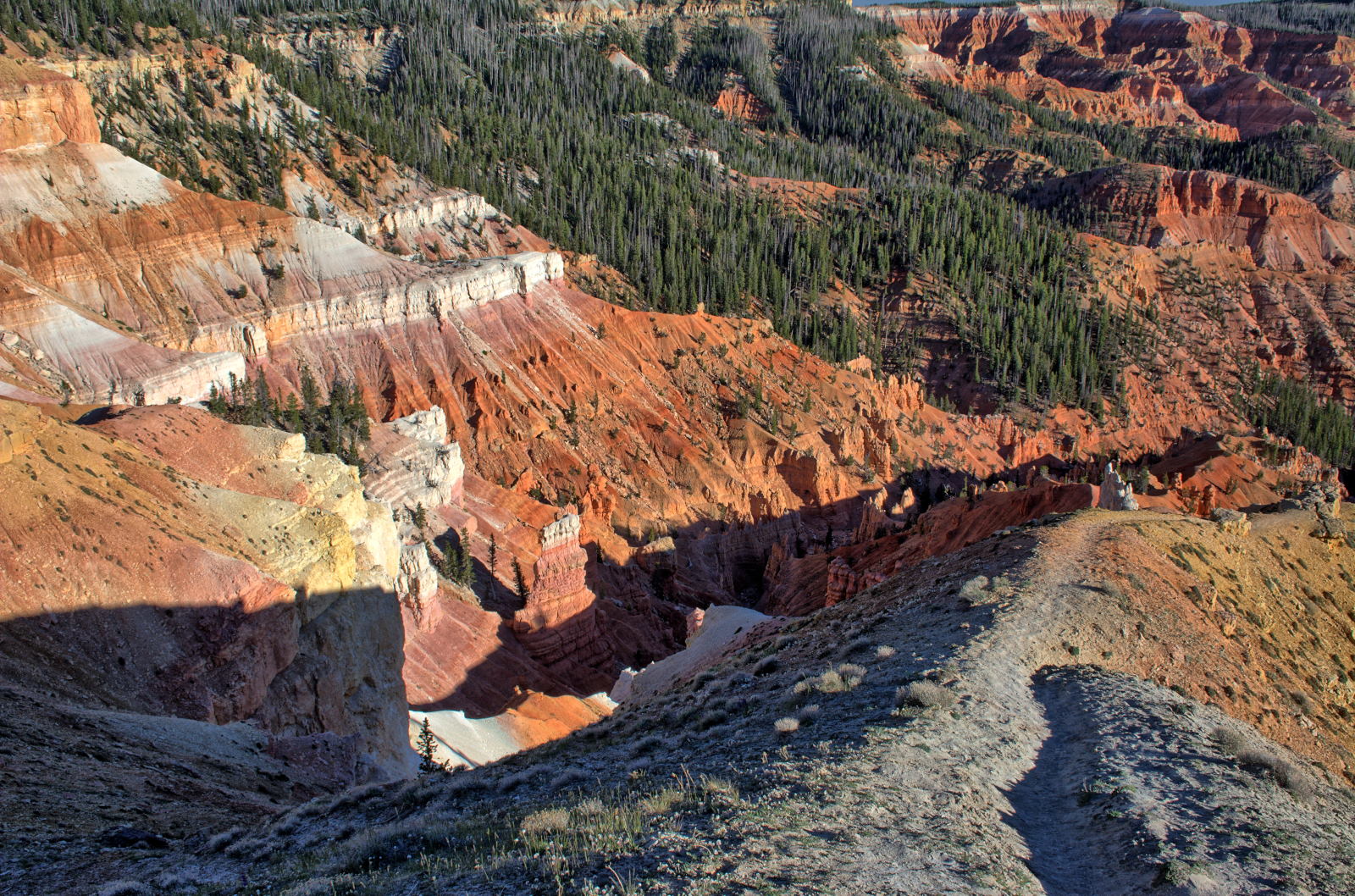
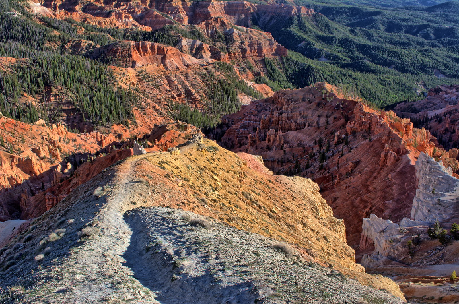
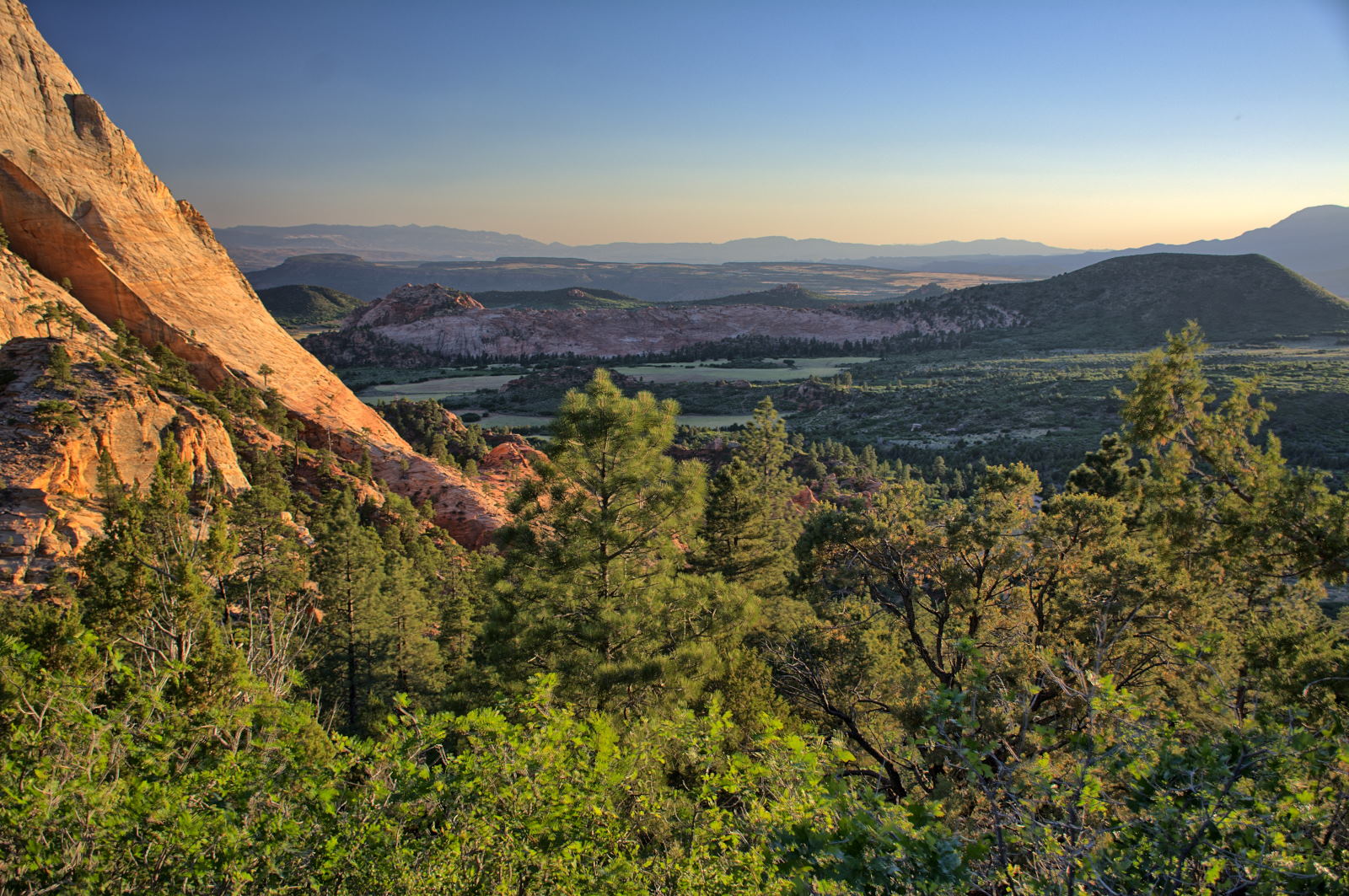
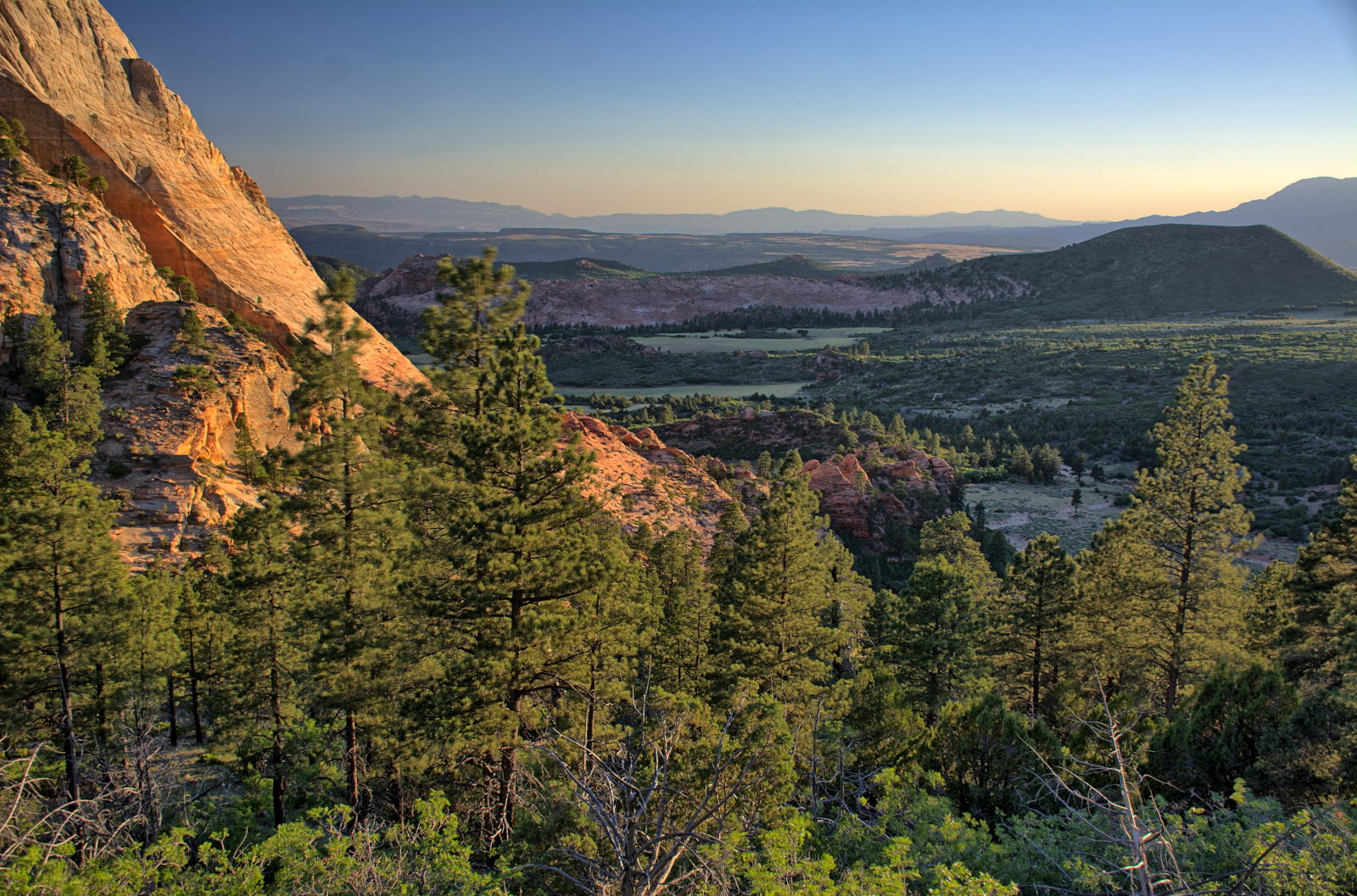
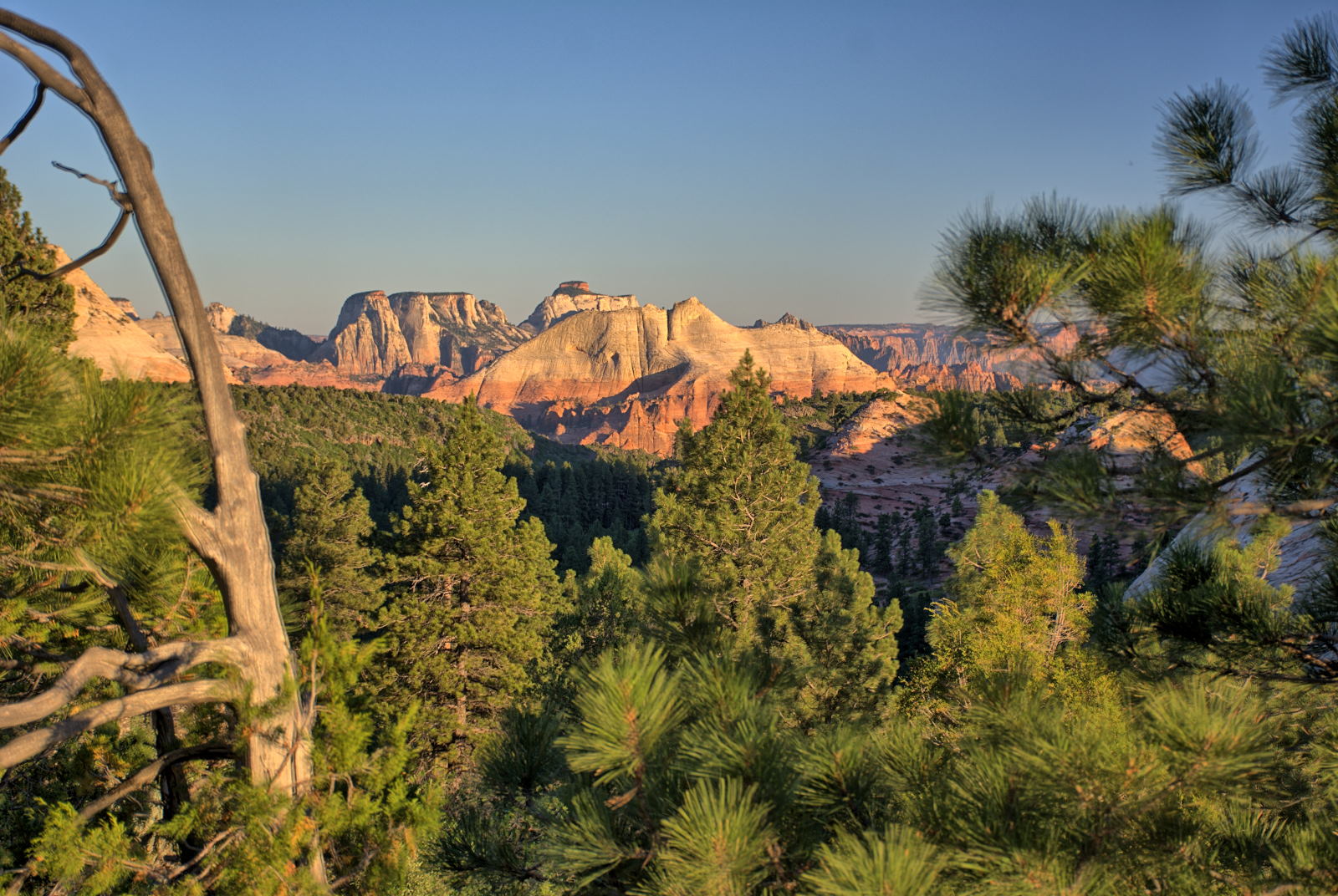
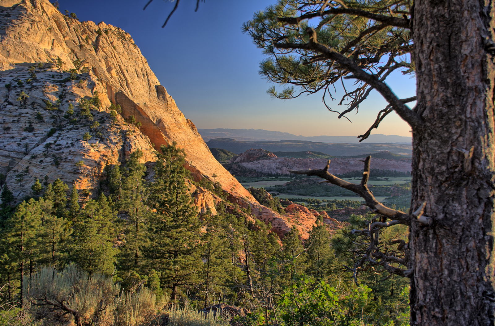
21 June 2018, Thursday
Chris went to the main viewpoint at Cedar Breaks for some sunrise photos, and
then drove off the top of the plateau, headed towards Cedar City for breakfast
and then on to Kanarraville.
Cedar Breaks National Monument
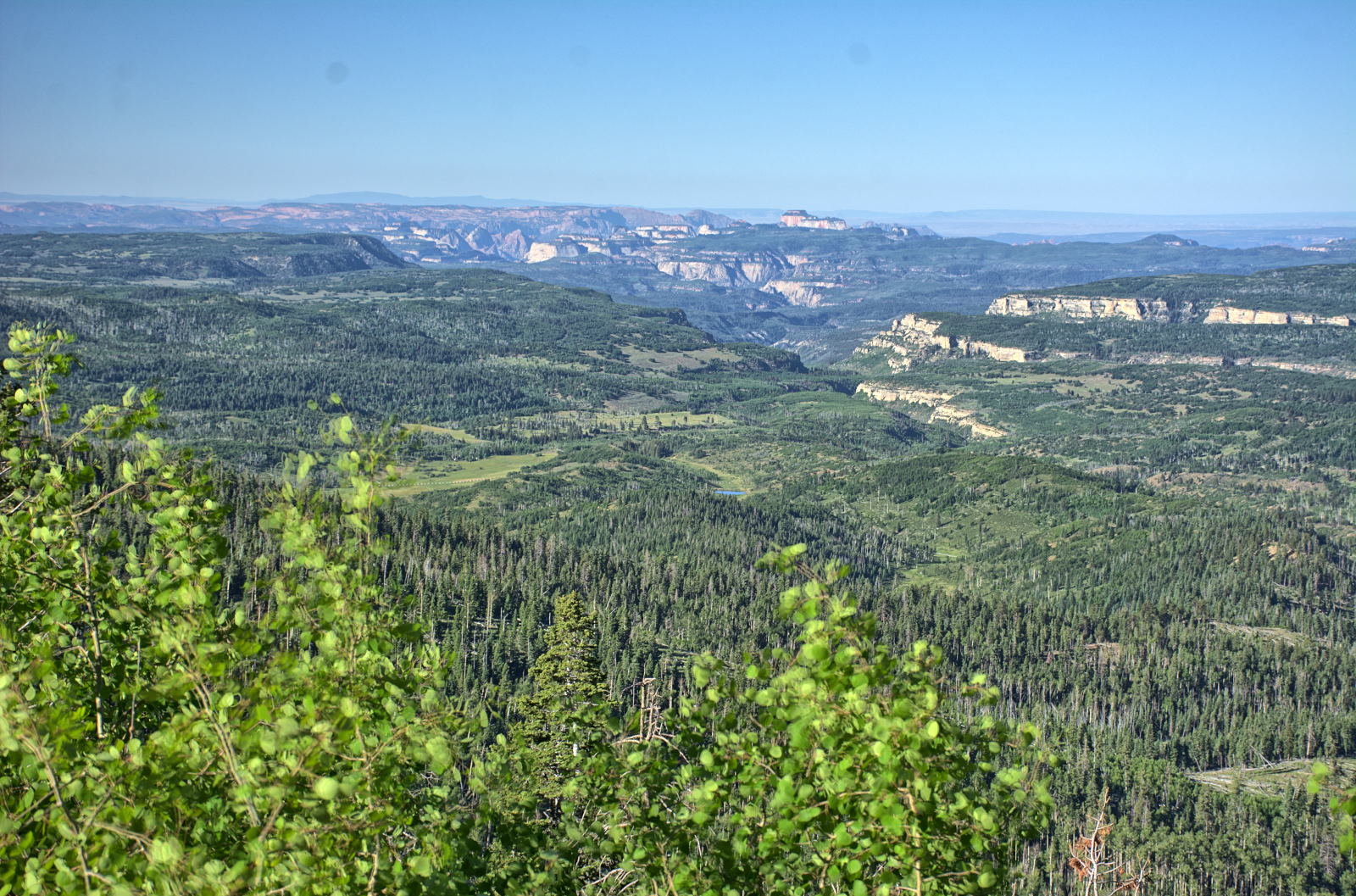
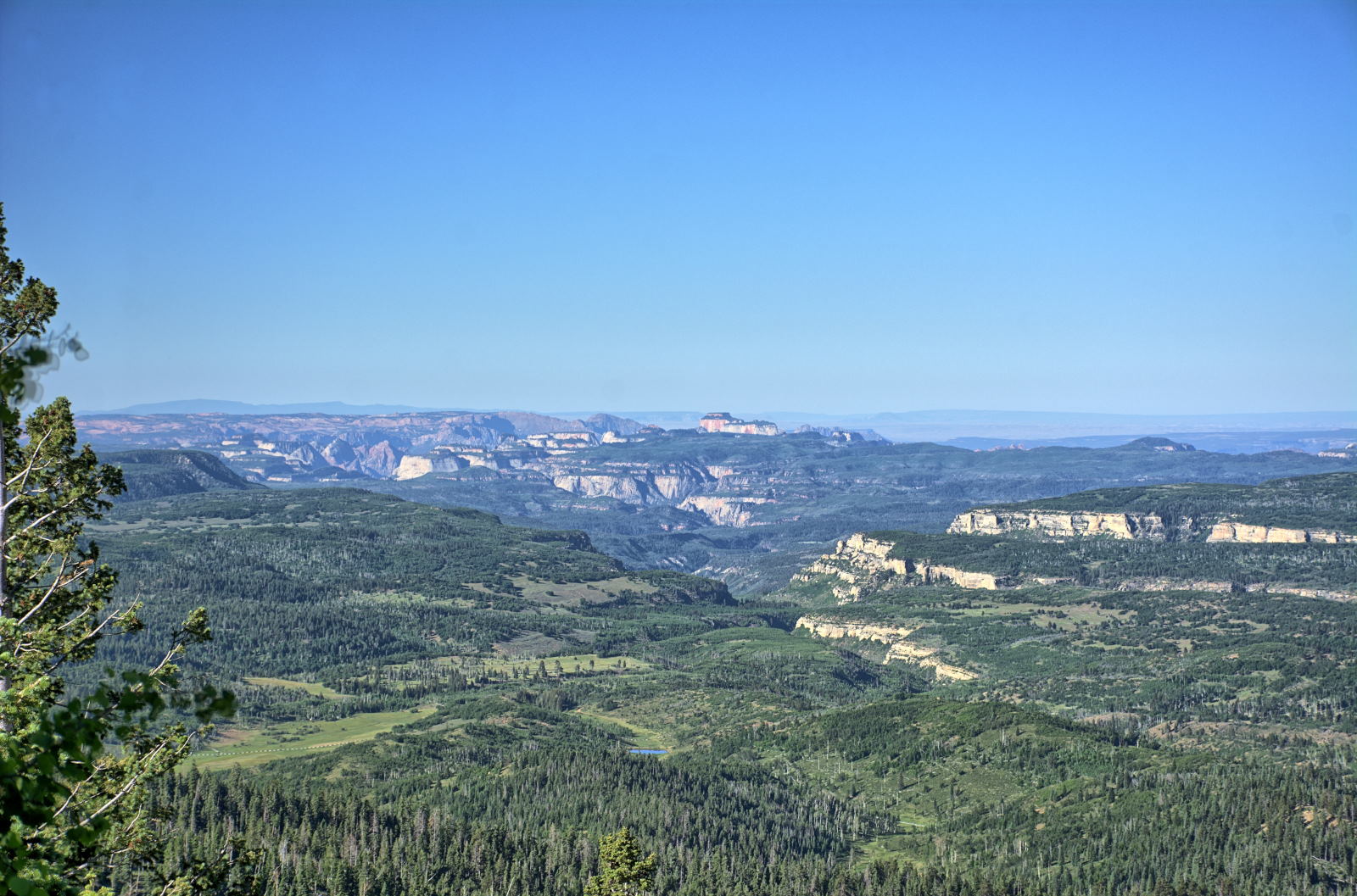
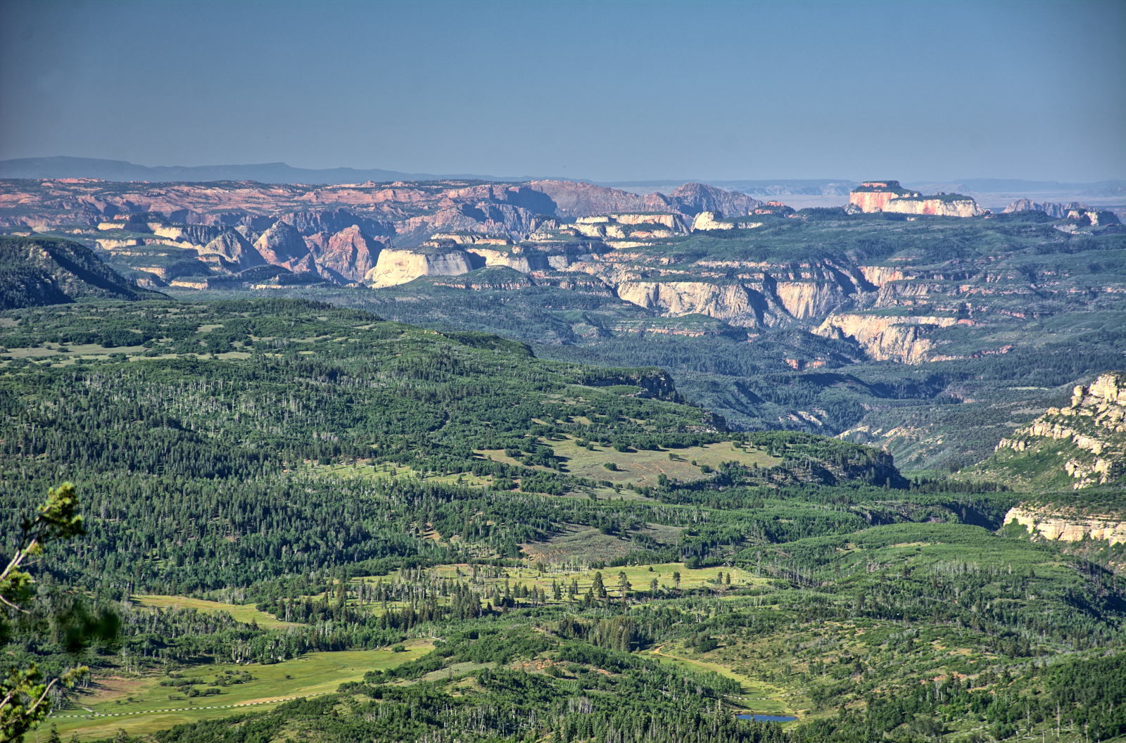
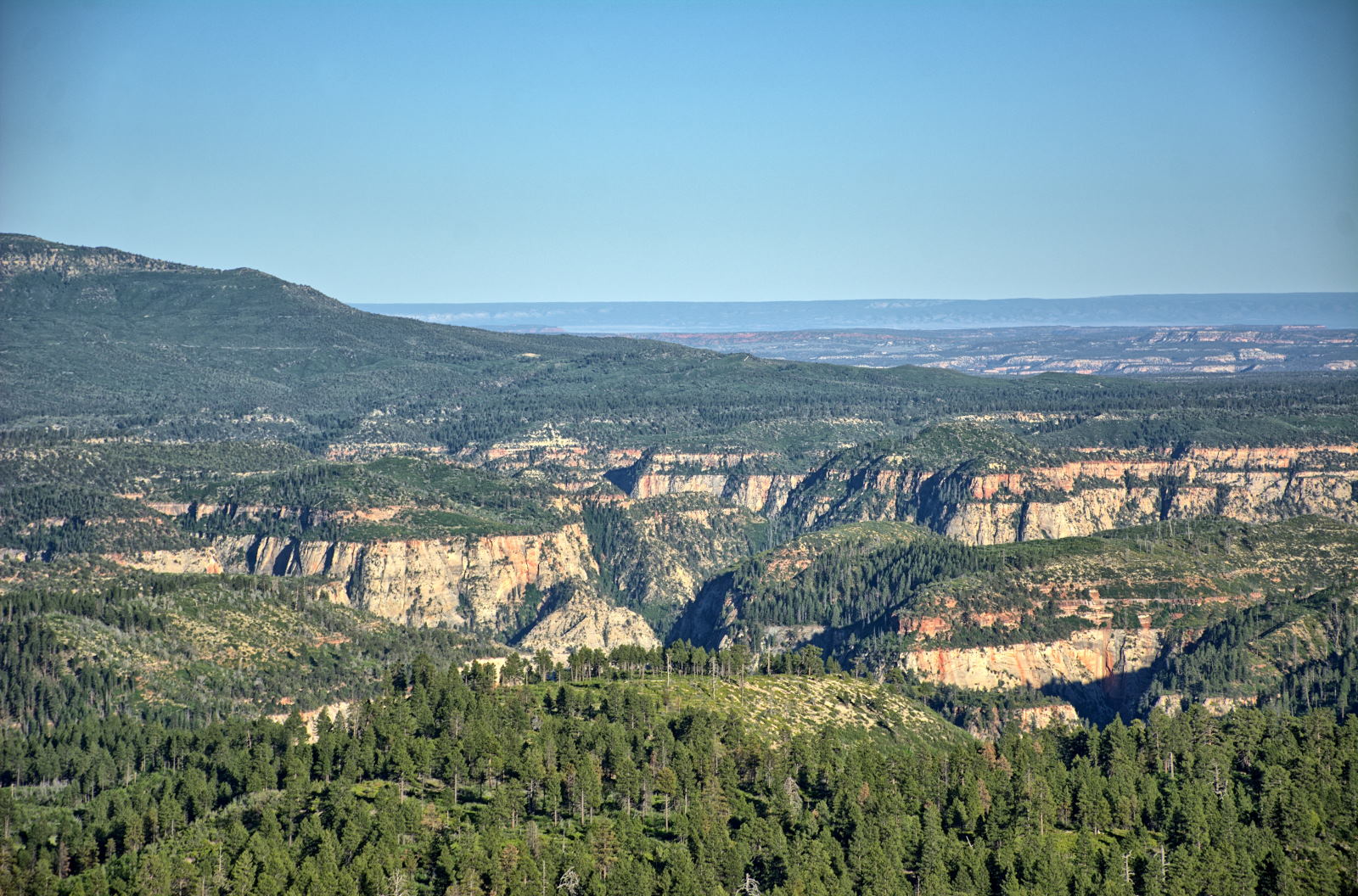
While descending off the plateau just south of Cedar Breaks, there is an
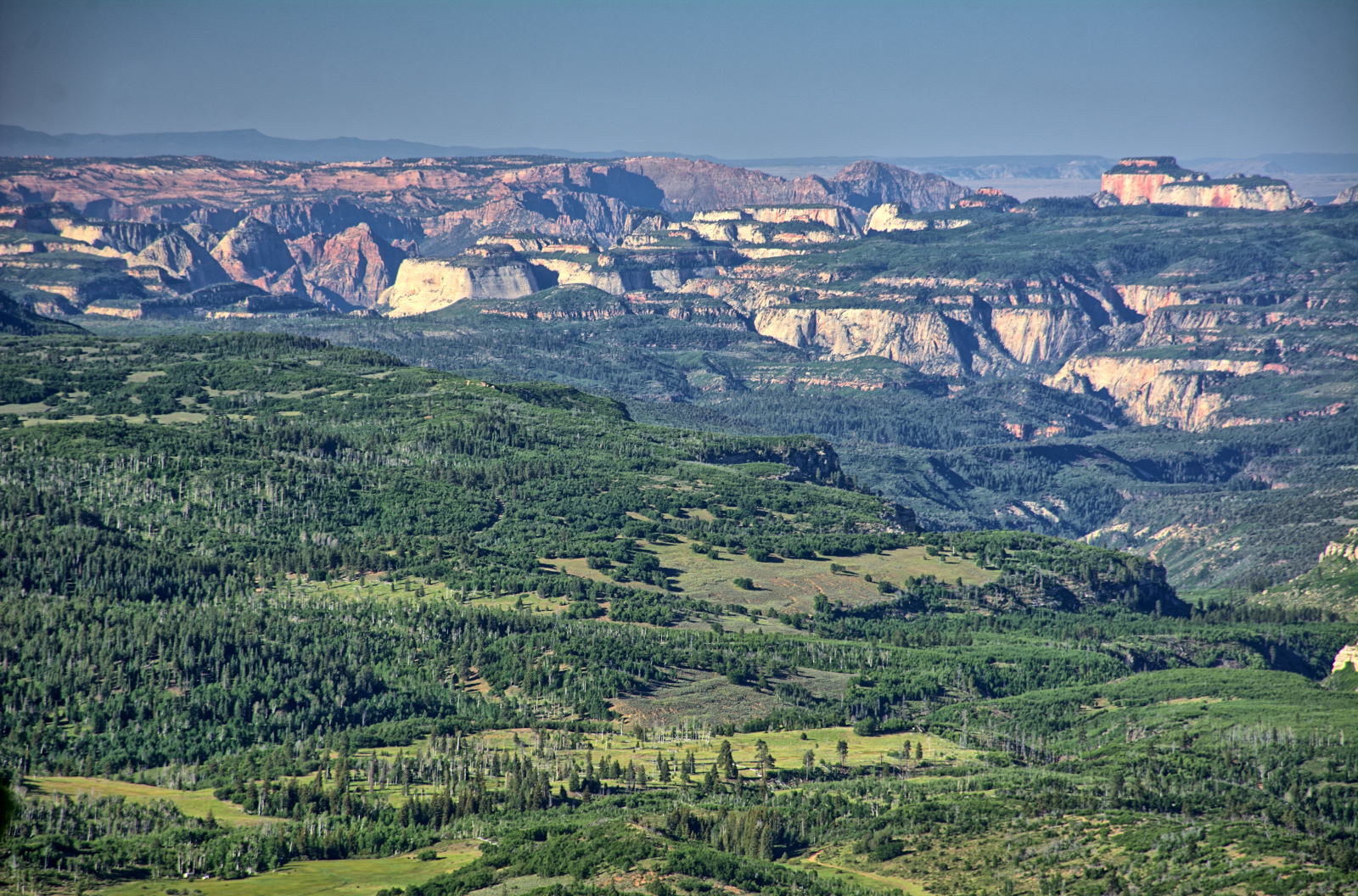
overlook with a view across the terrain above Zion National Park. In
the distance, you can see the top of the rocks above Zion Canyon in
these photos. This area is the drainage basin for the Virgin River, which
cut Zion Canyon.
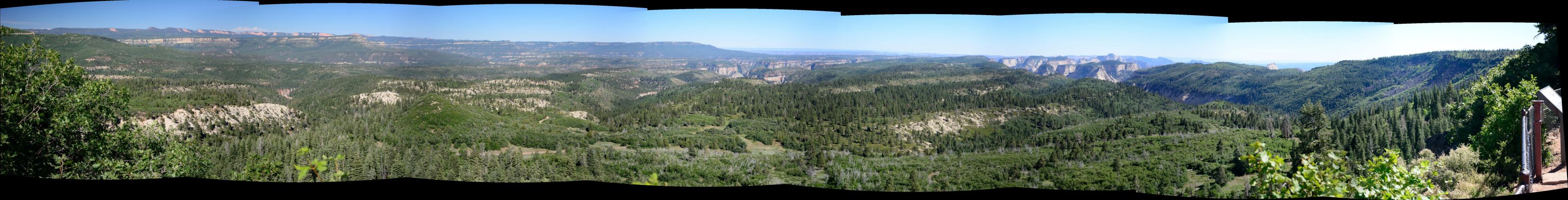
Overlook south of Cedar Breaks, views above Zion National Park to the south
Kanarraville, Utah is a small town just off of I-15, about 15
minutes south of Cedar City. The water source for this town is a stream
that flows through a slot canyon and a spring fed by the waters coming off the
mountain. In the last few years, the slot canyon above the town has been
discovered as a incredible hiking destination. To accommodate the large
influx of hikers, the town has had to build
parking areas at the base of the trail. They have also had to charge for this and
the maintenance needed to maintain the trail, but the price is well worth it, as
the hike is great and the
slot canyon has some beautiful views.
Chris drove south on I-15 towards Zion National Park. He decided to stop in
Red Cliffs
Recreation Area to check out a hiking trail he had read about. It is a
trail up a small creek just to the west of Hurricane and the photos on-line
looked inviting. Unfortunately, conditions were so dry that the creek had no
water at all and it was above 100 degrees, so he decided to skip this hike and
continue on to Zion.
Red Cliffs Campground
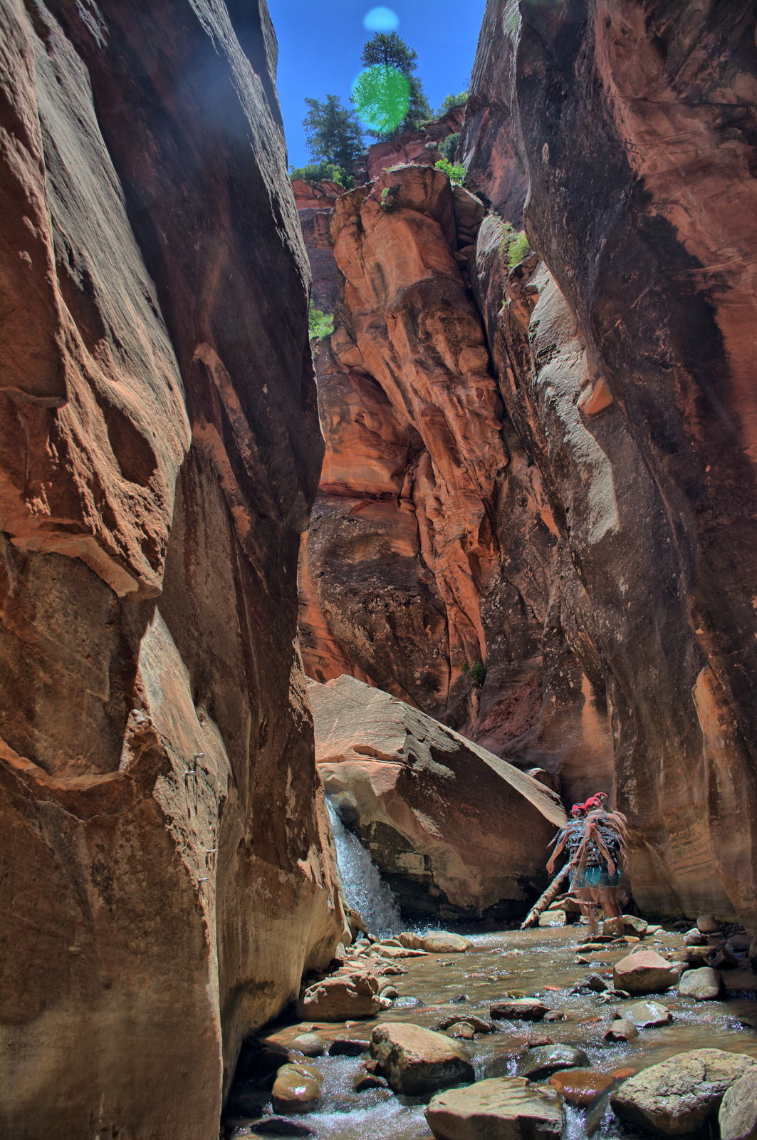
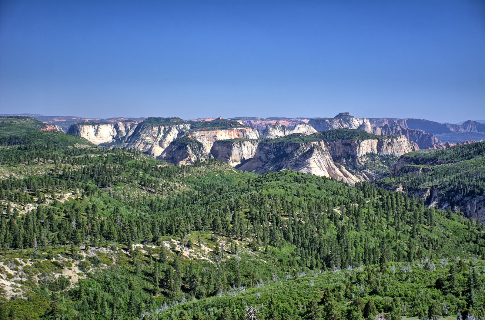
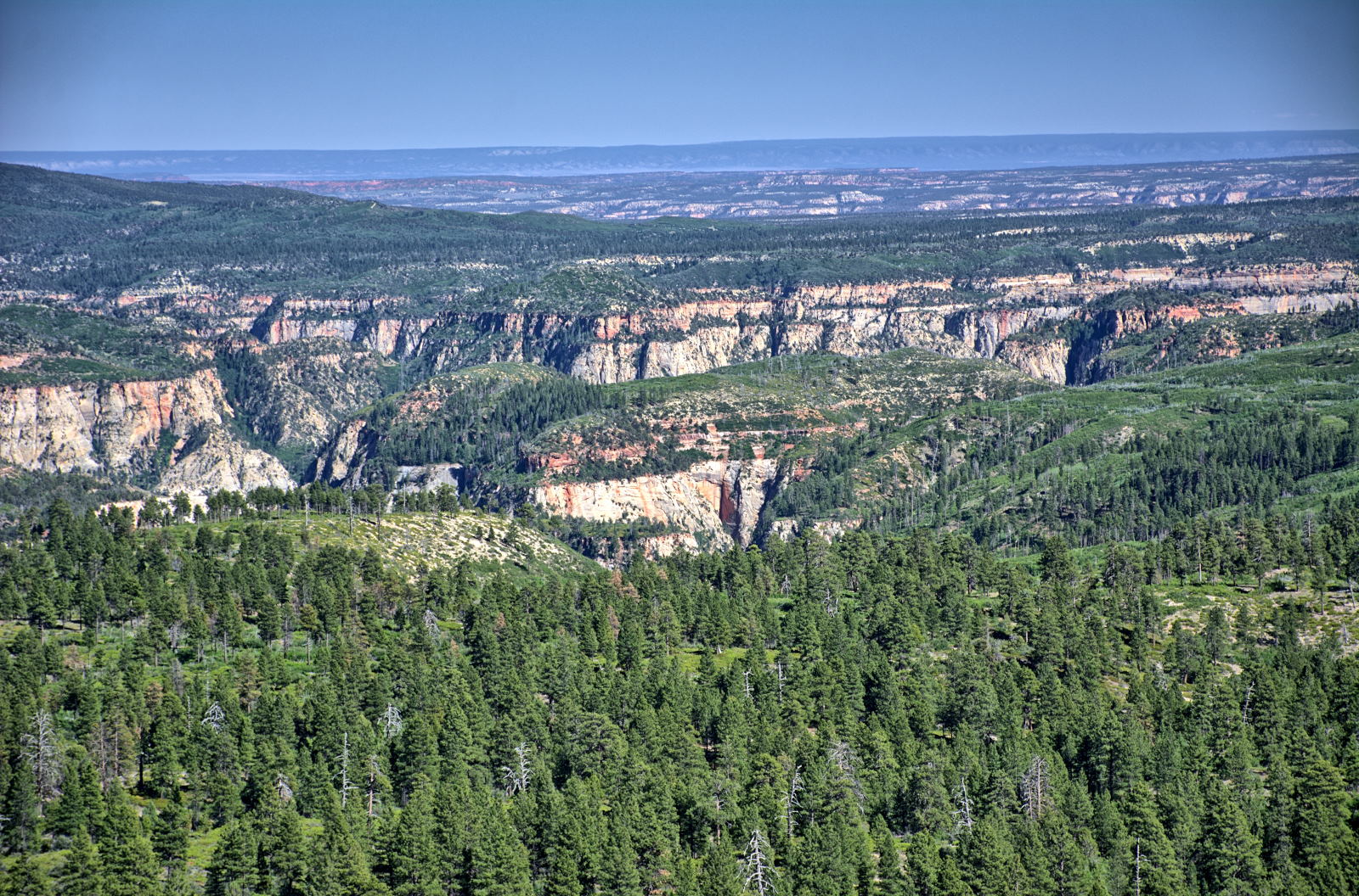
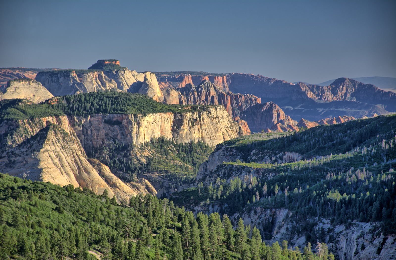
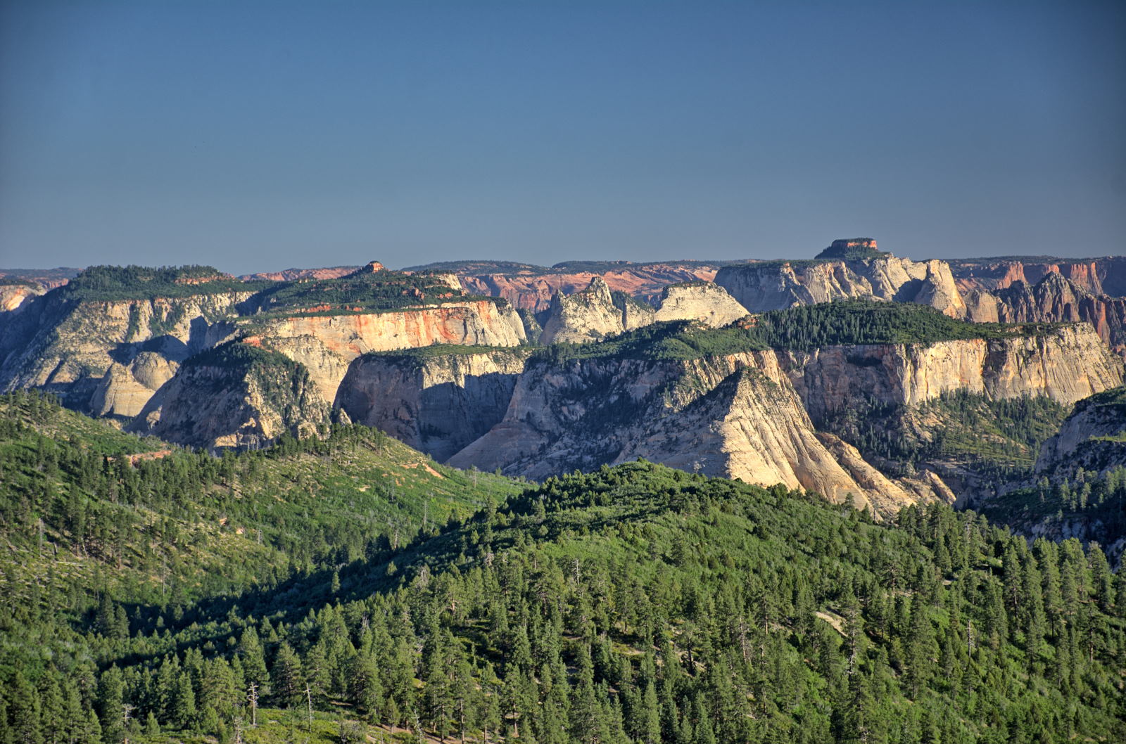
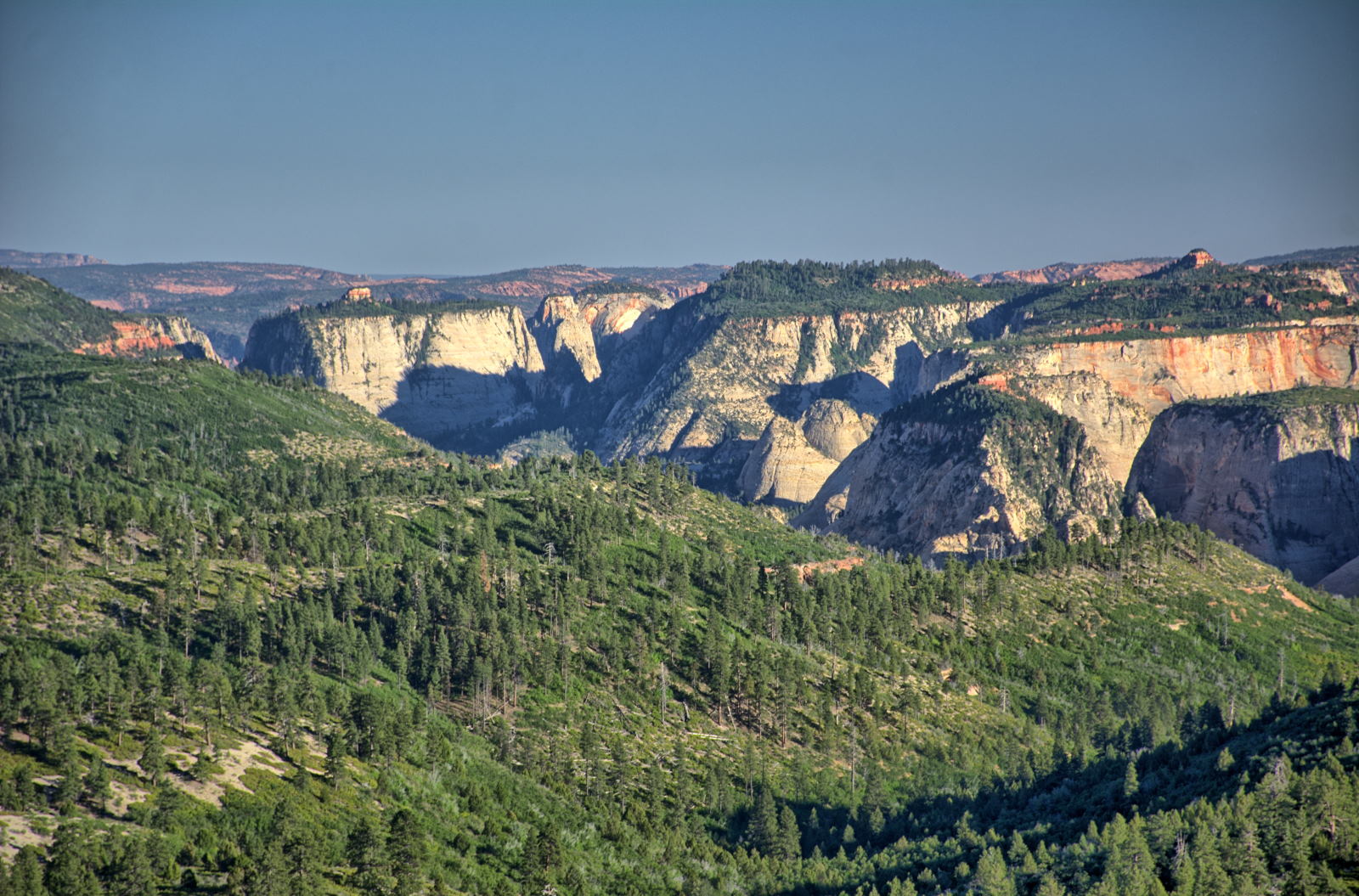
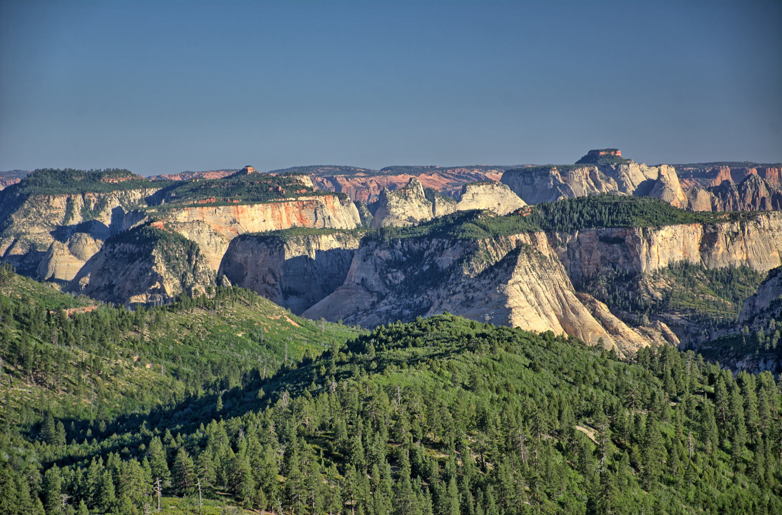
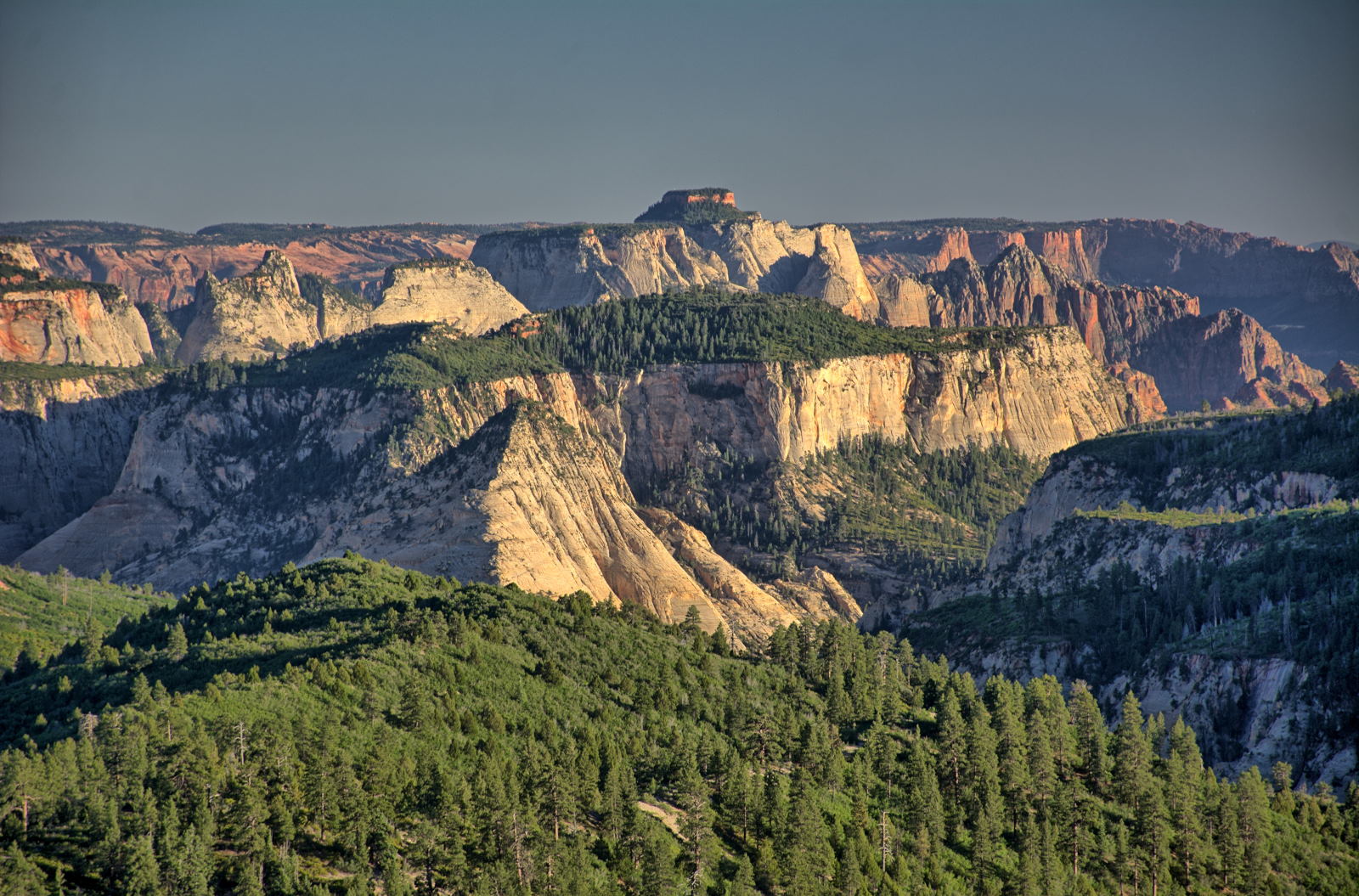
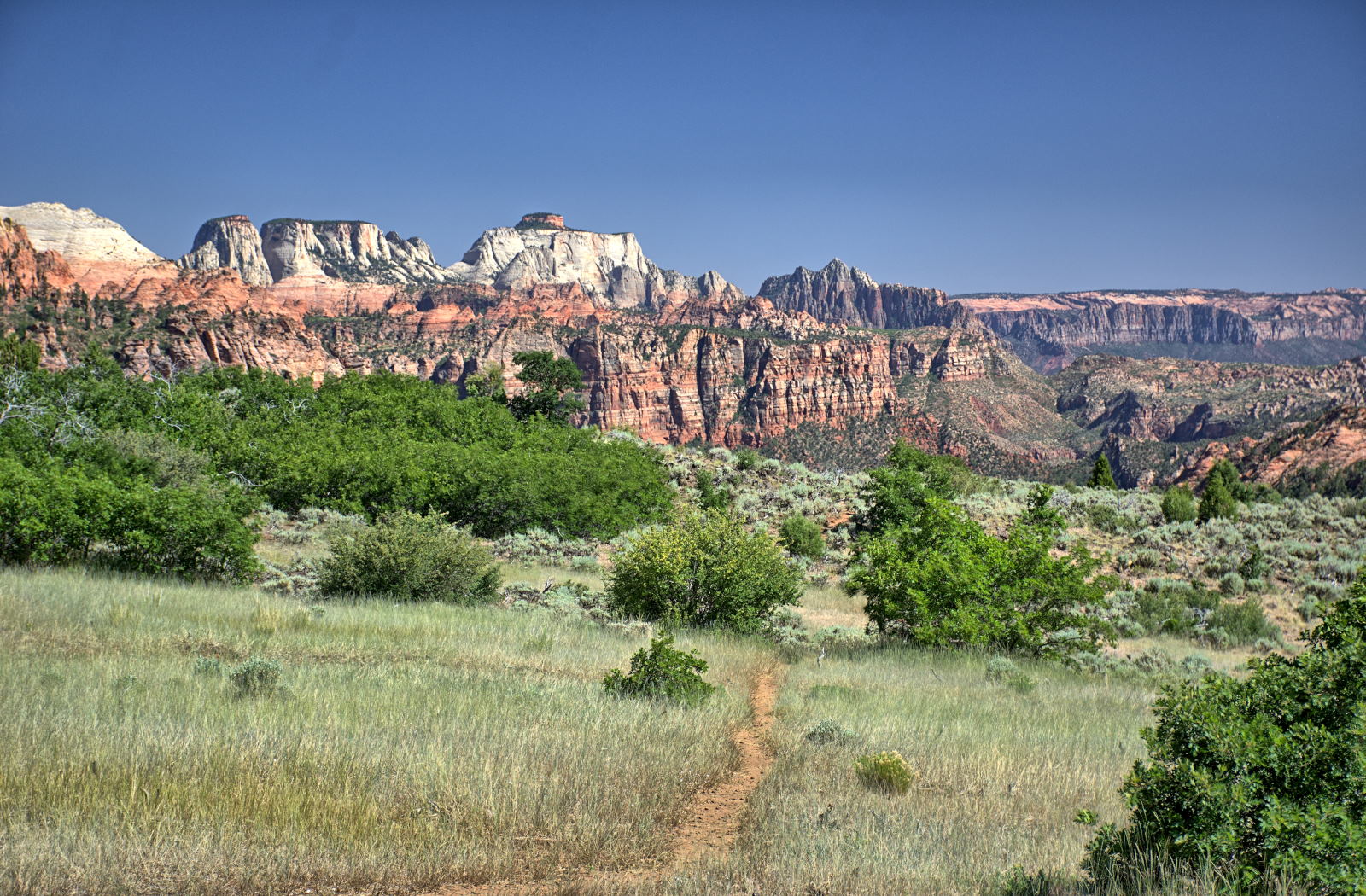
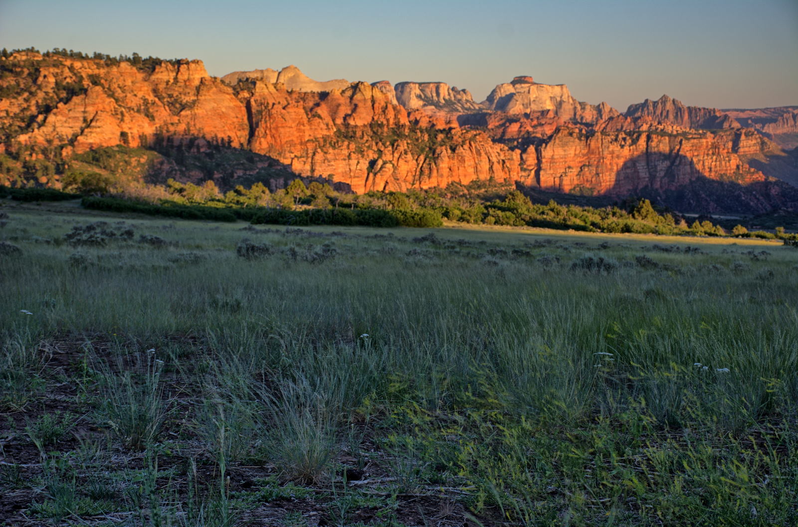
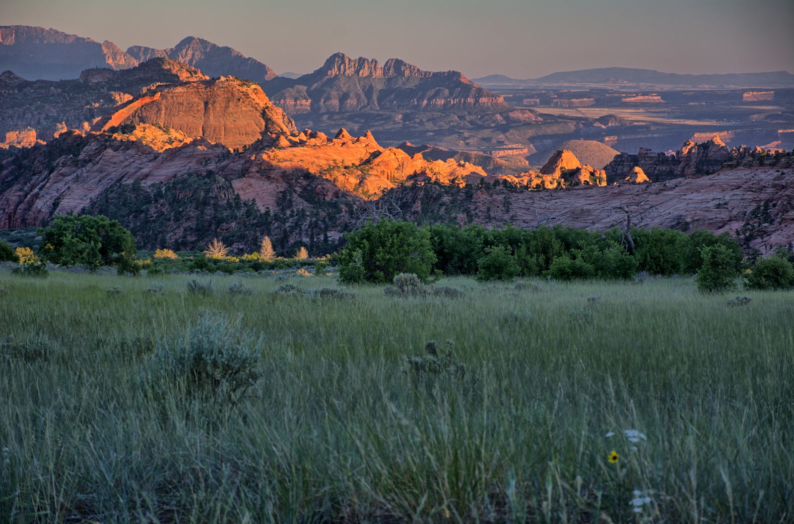
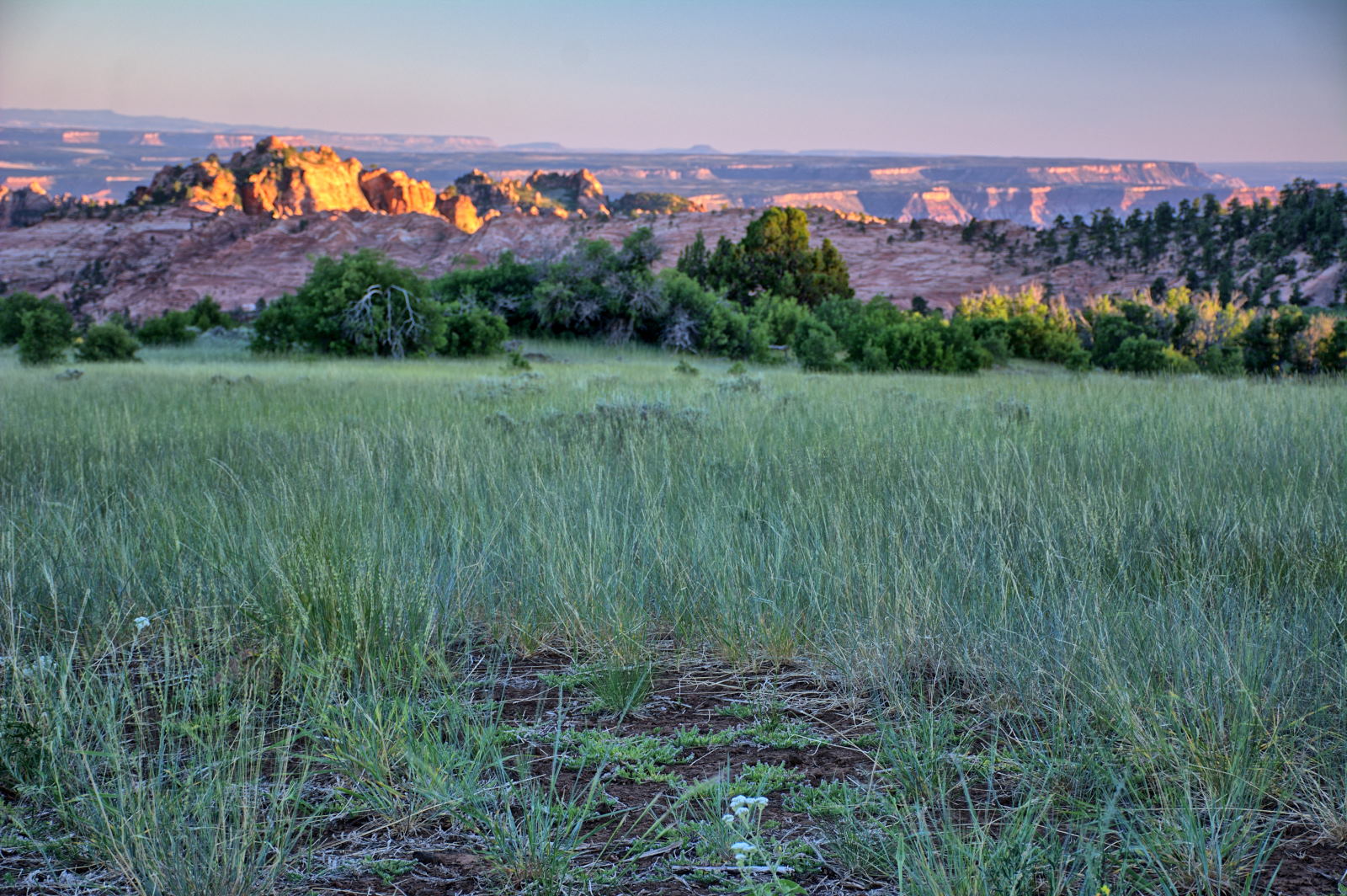
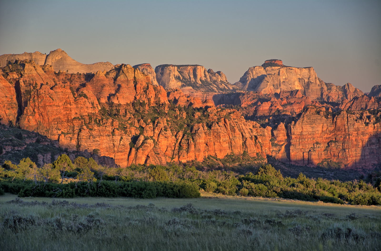
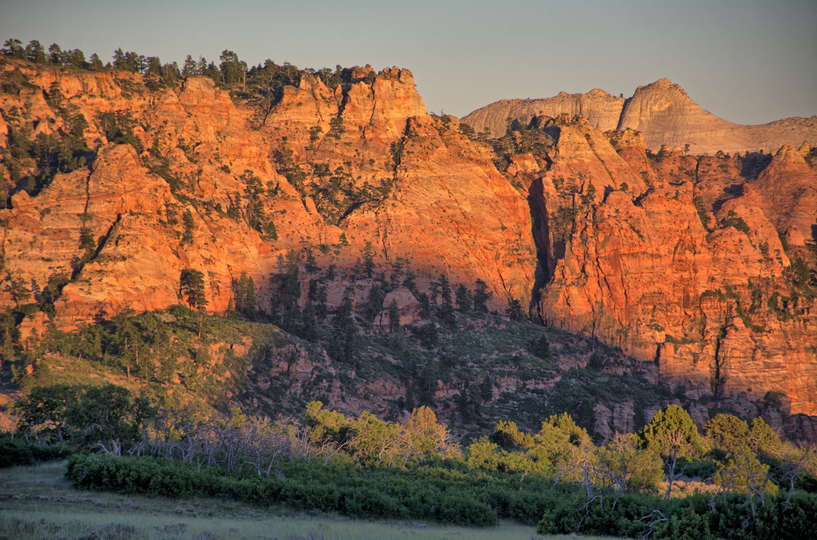
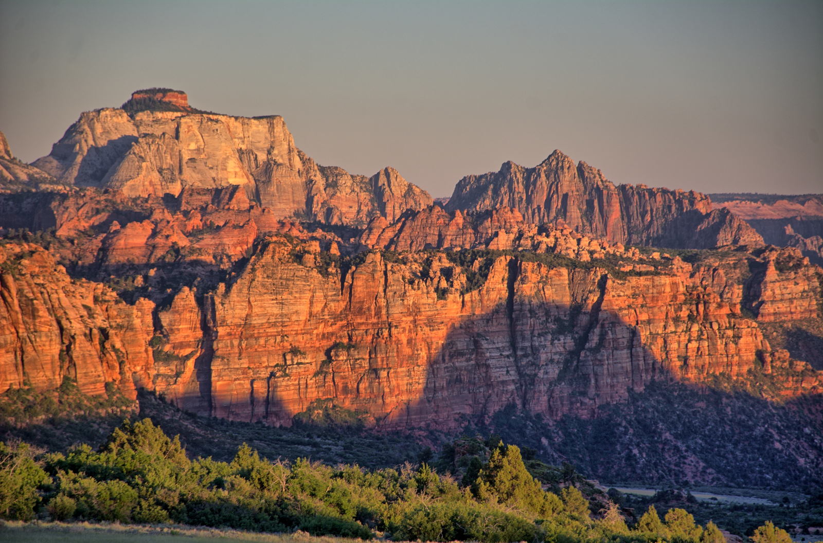
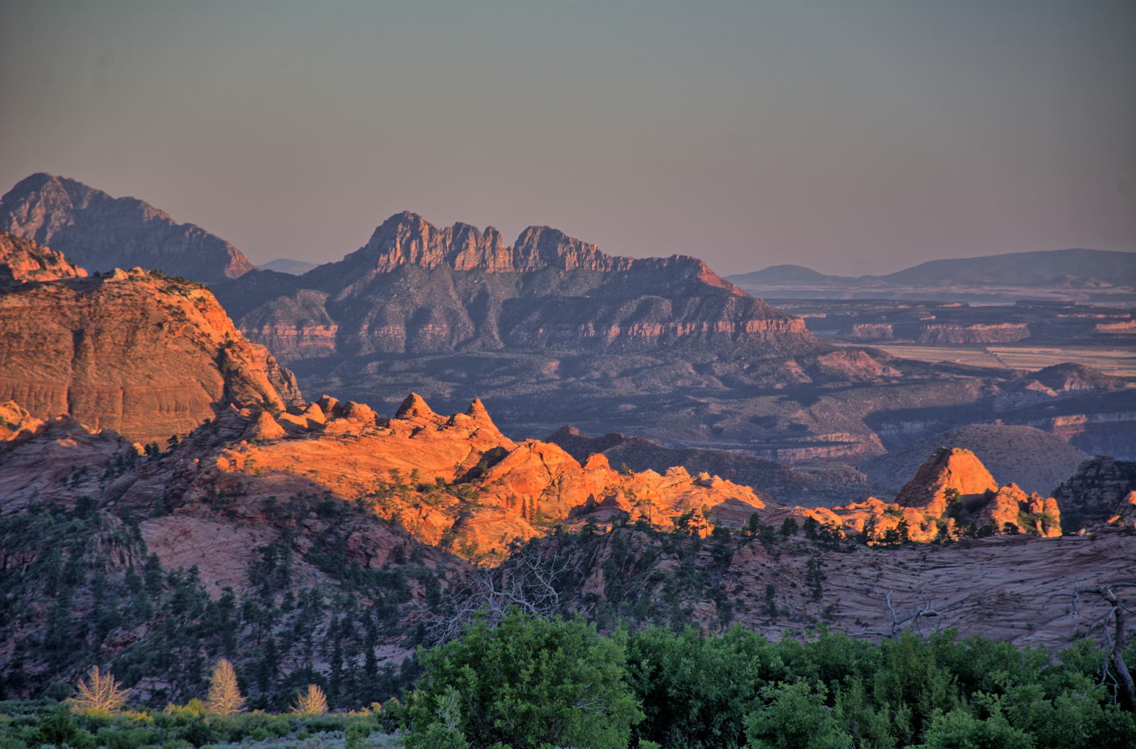
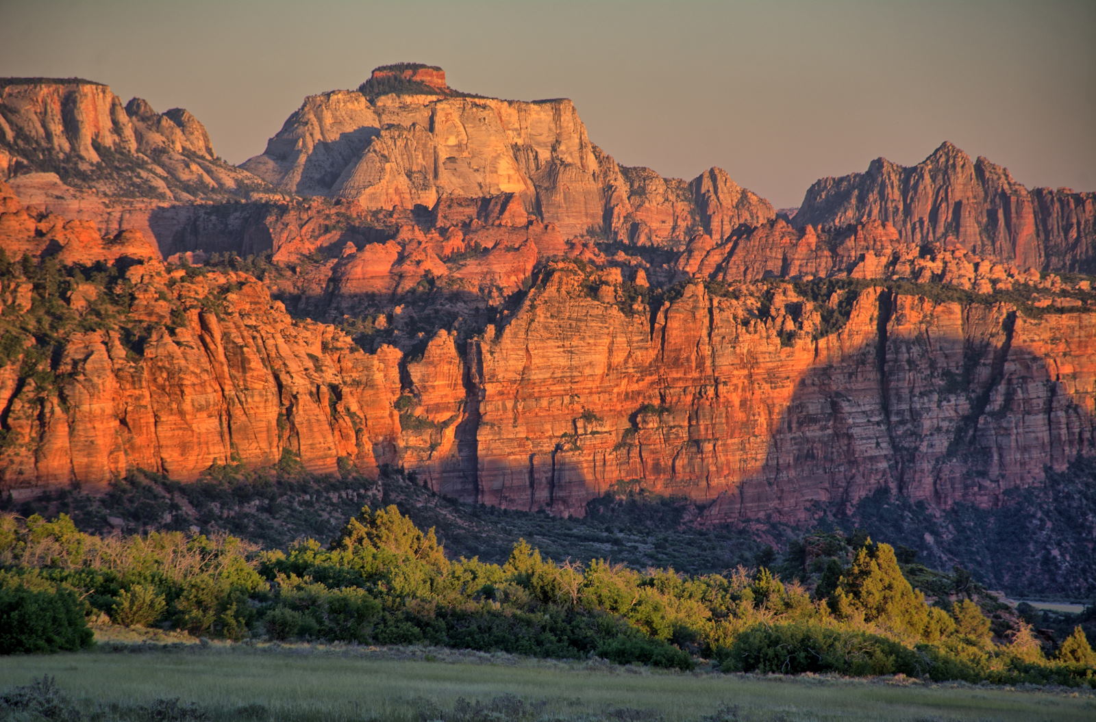
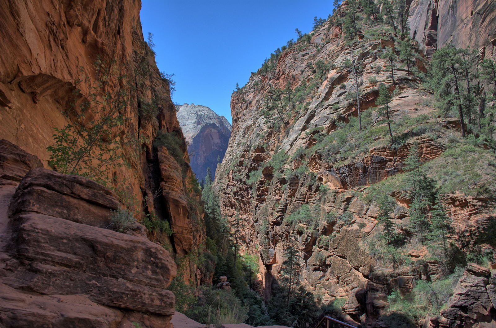
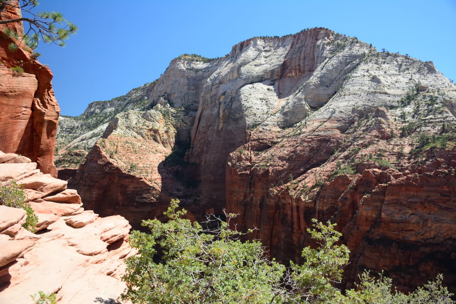
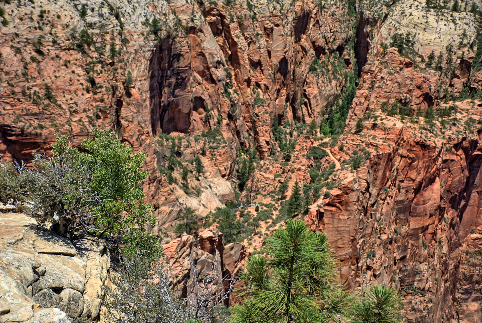
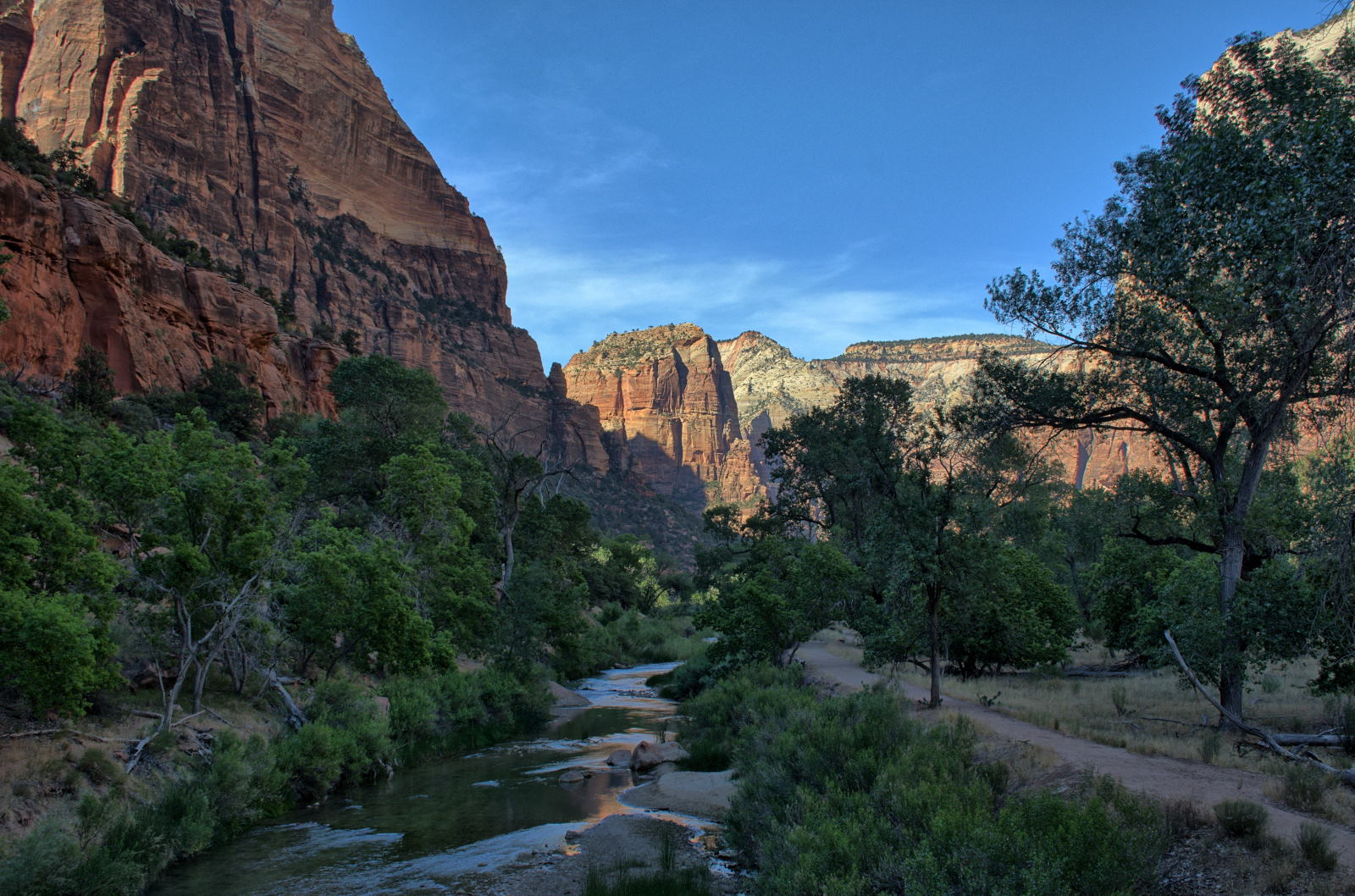
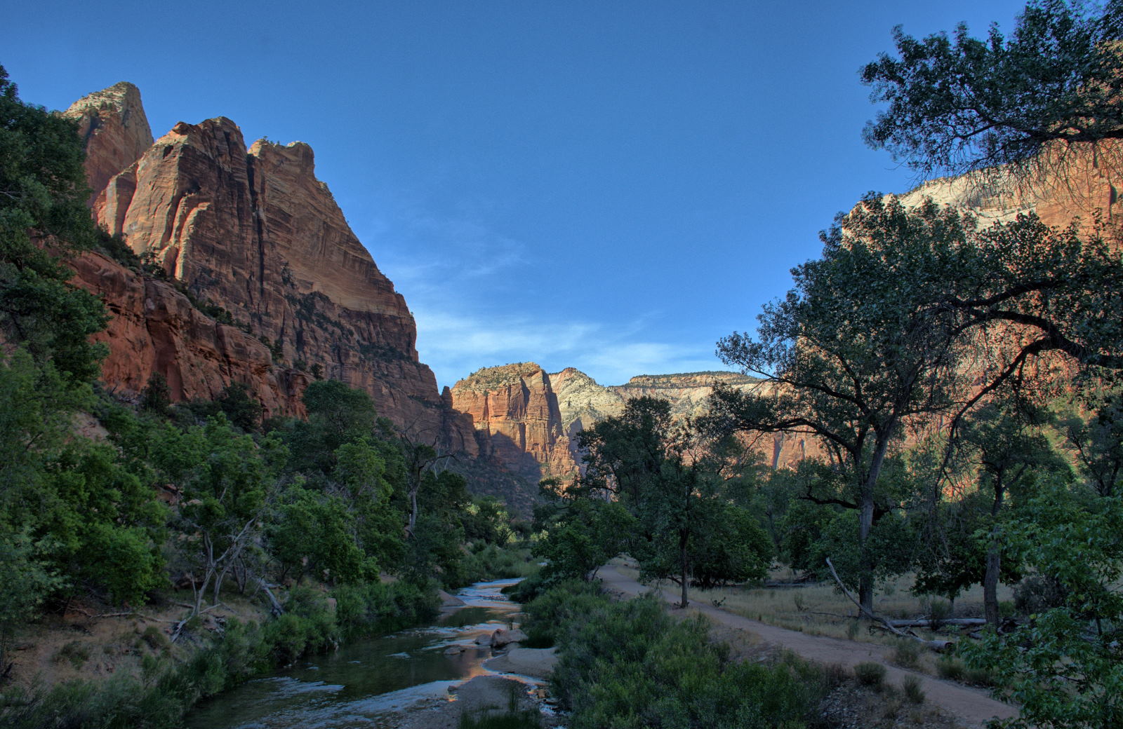
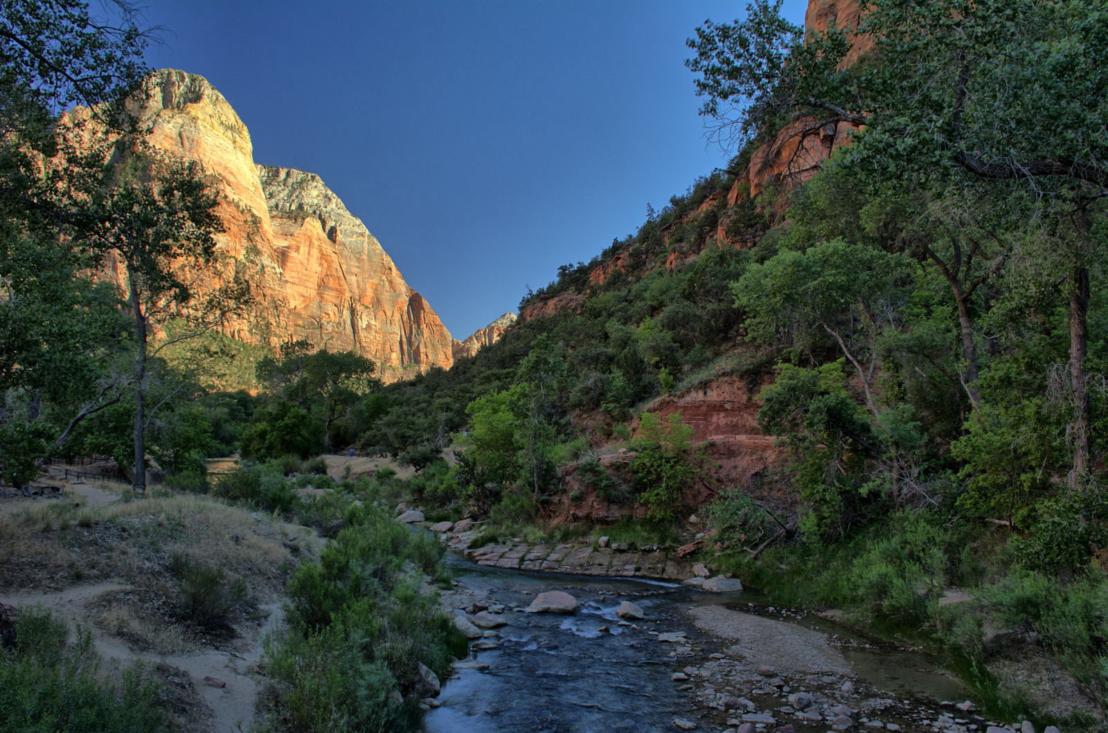
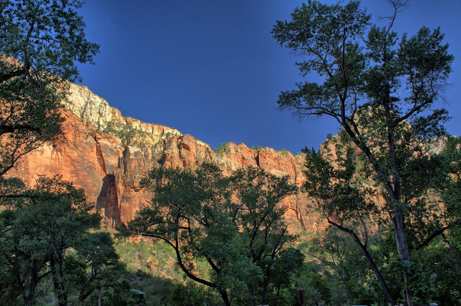
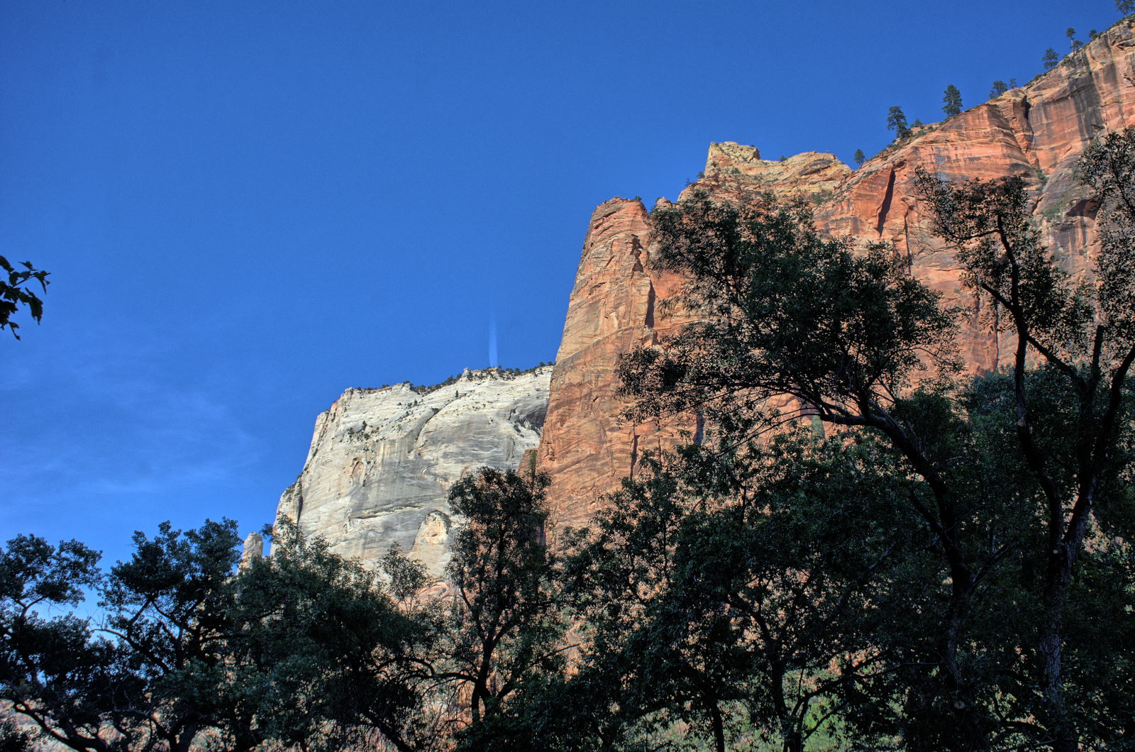
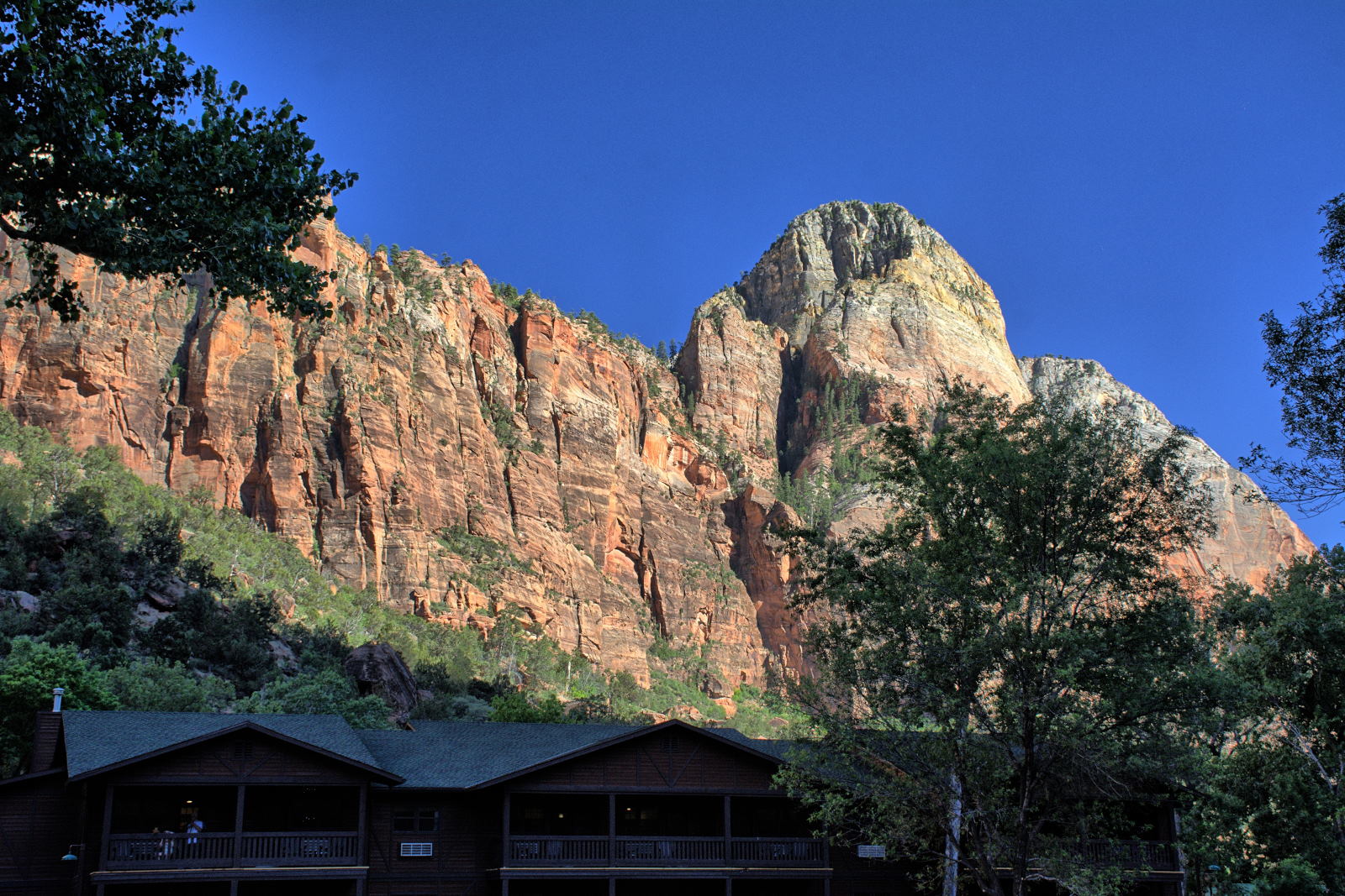
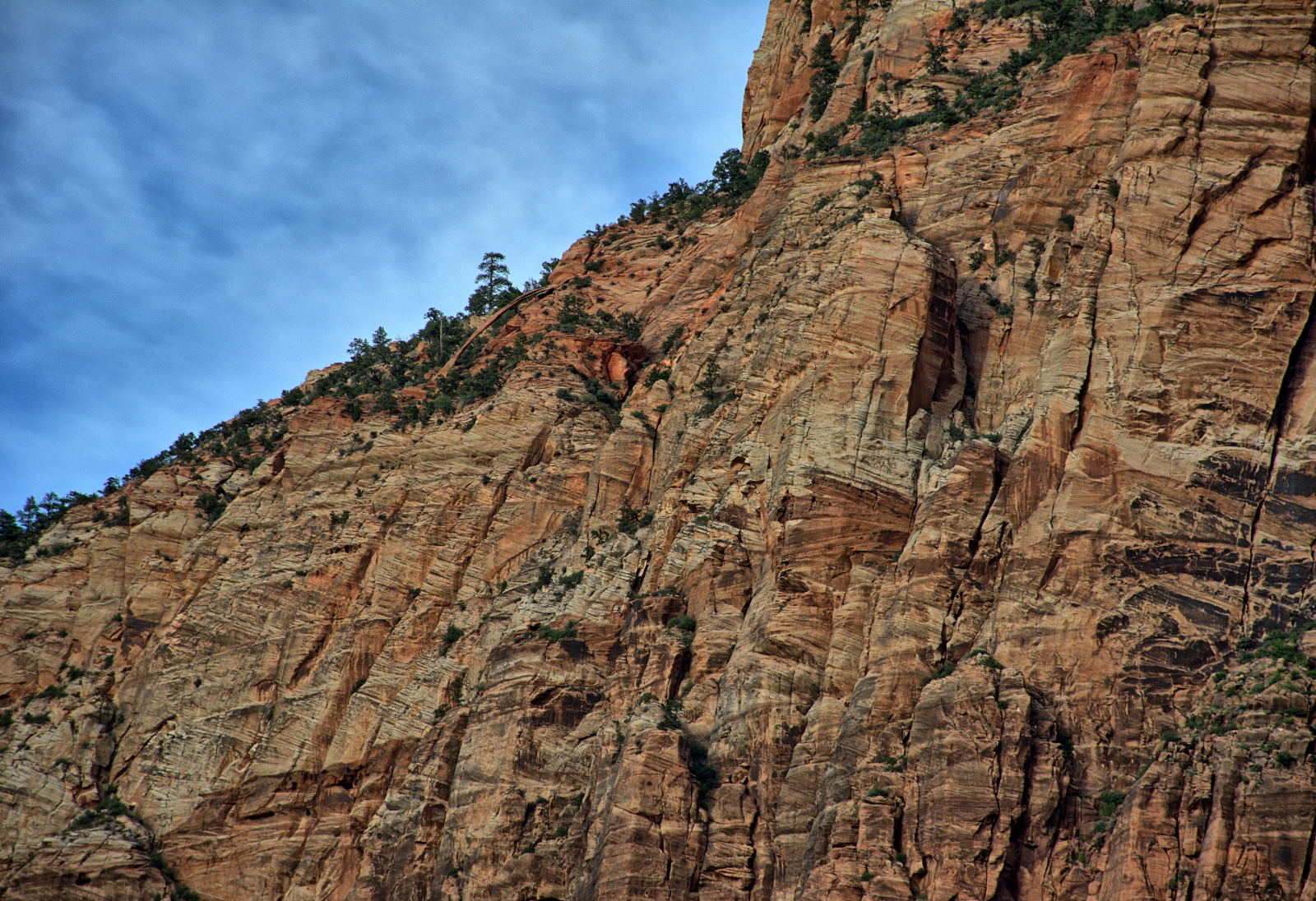
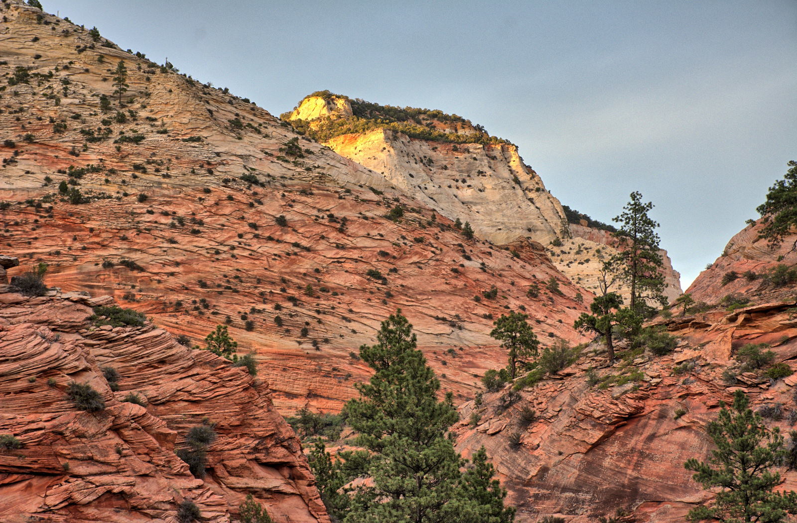
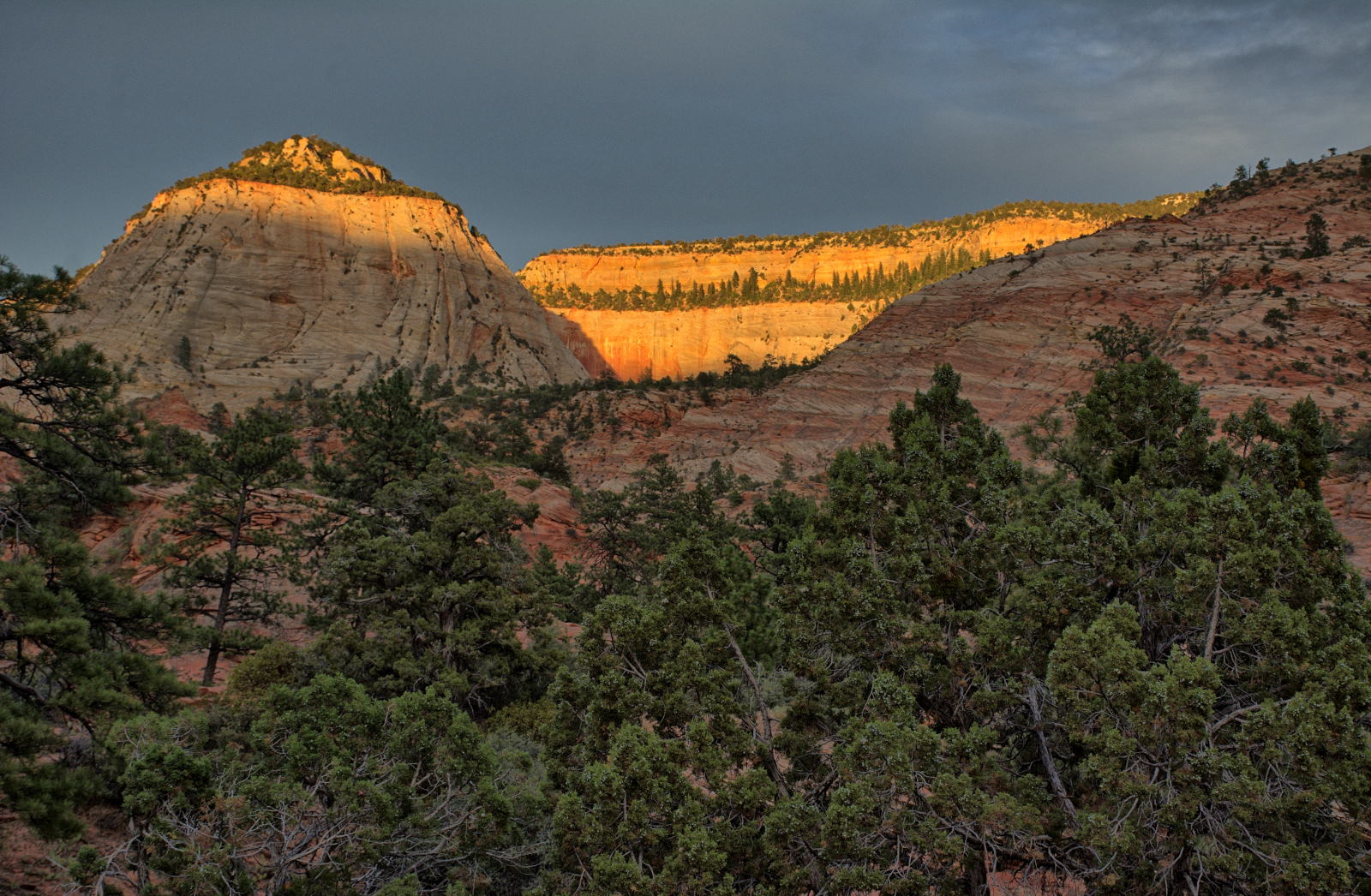
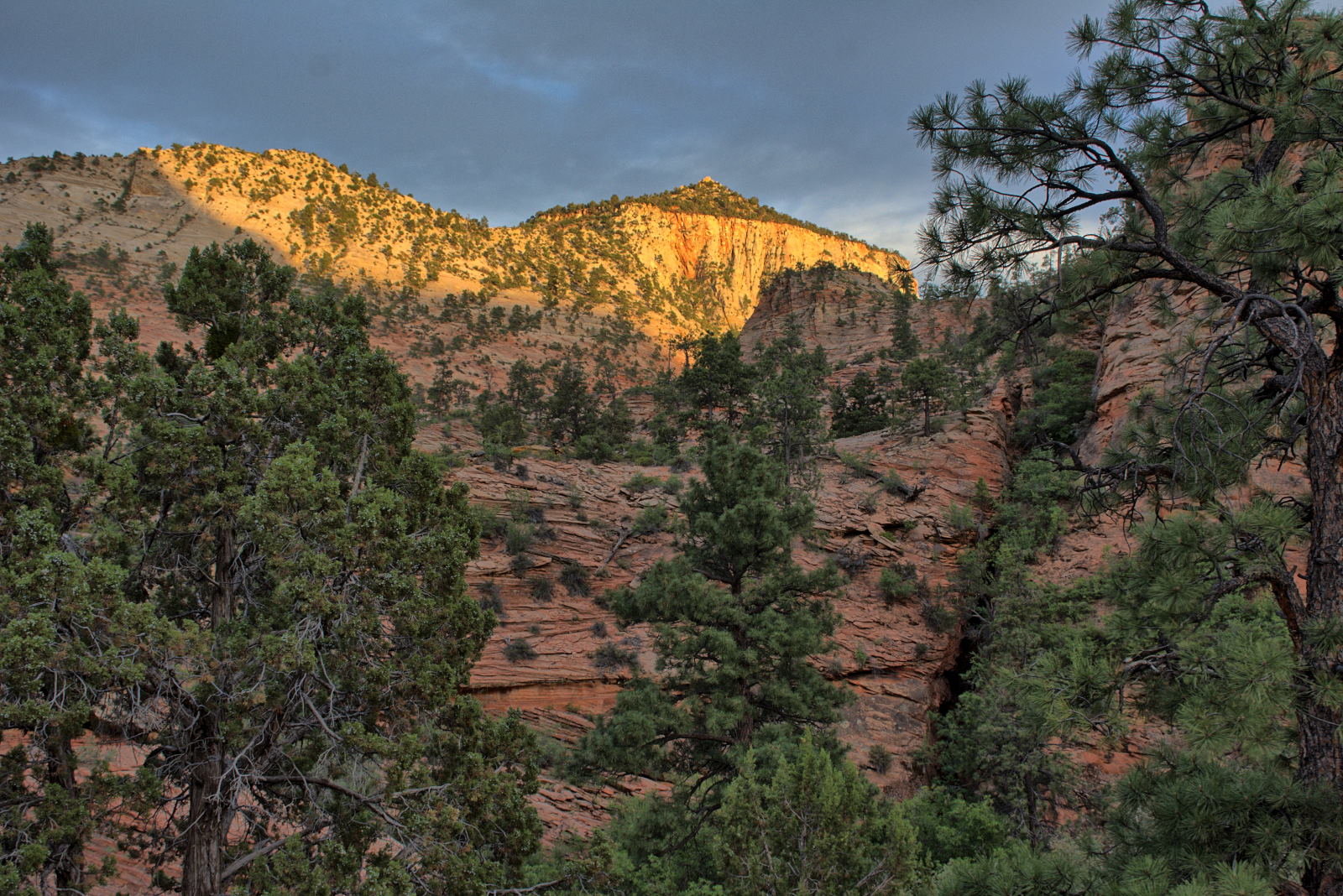
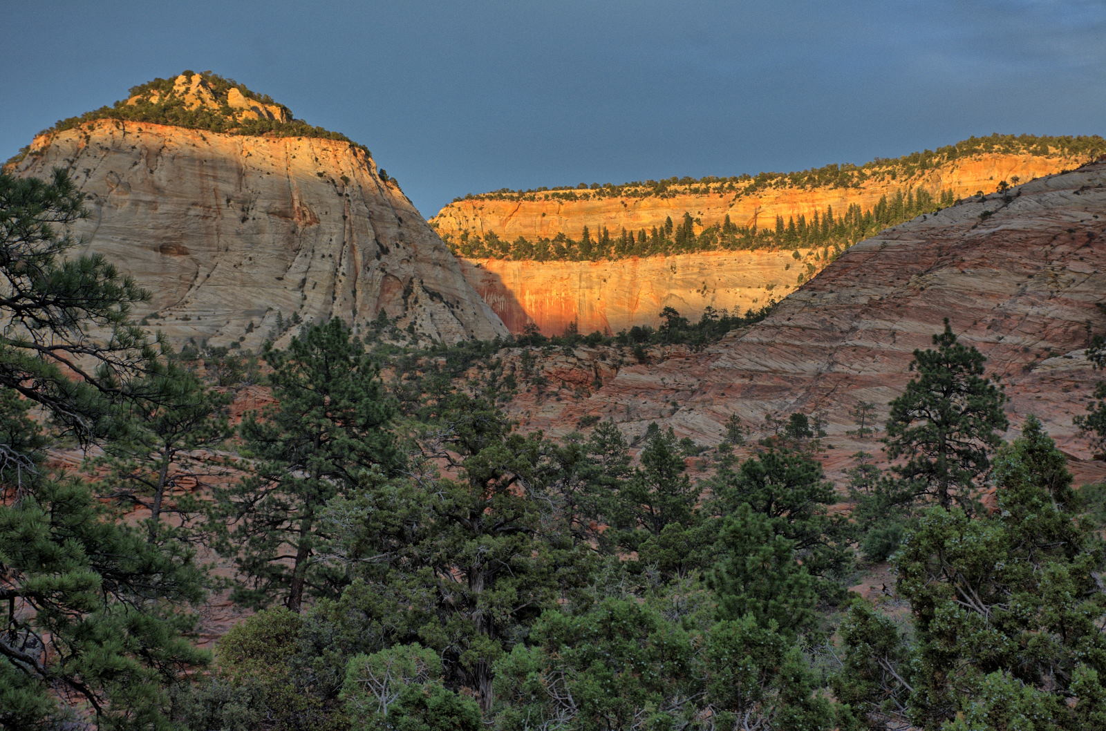
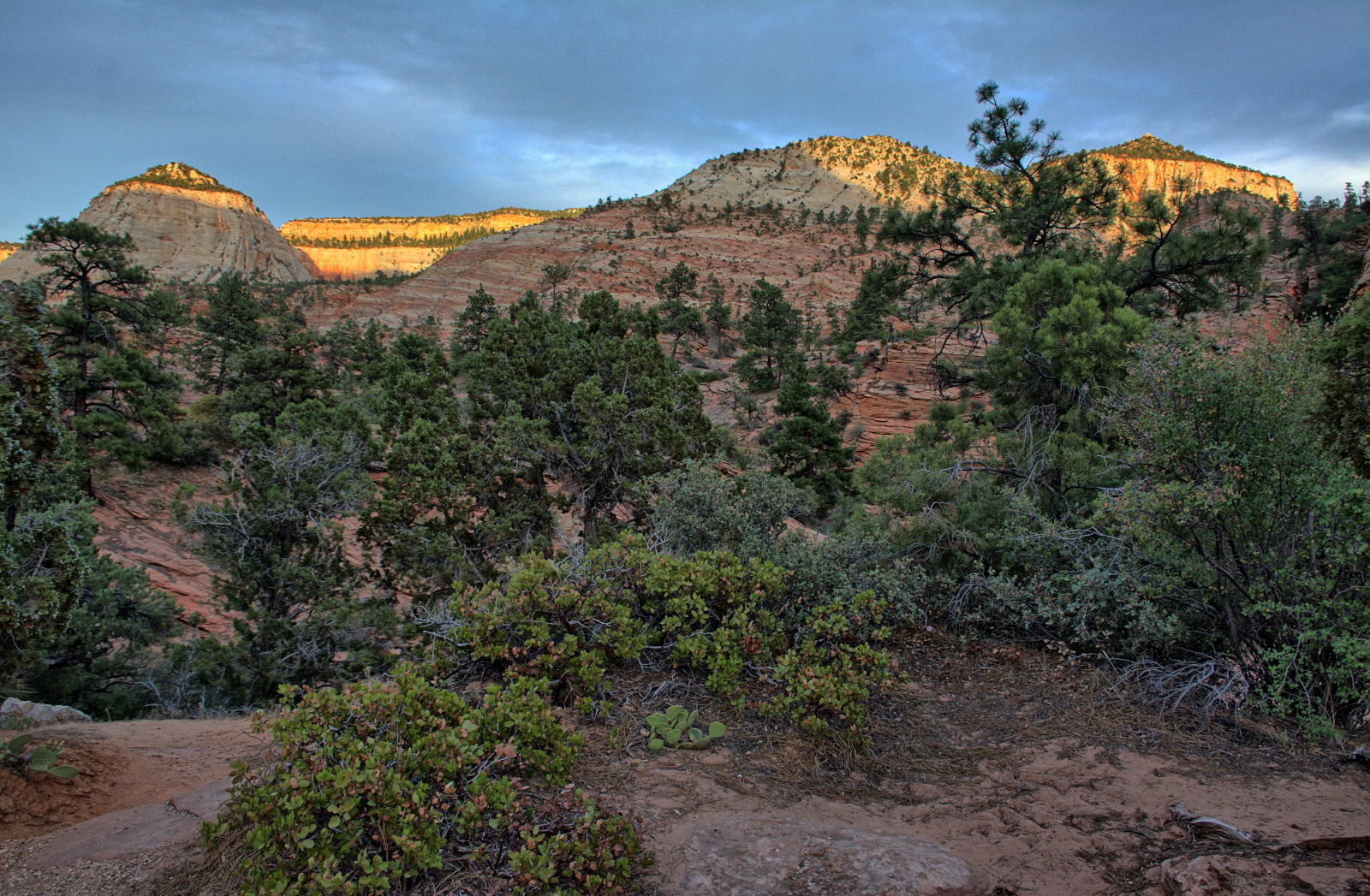
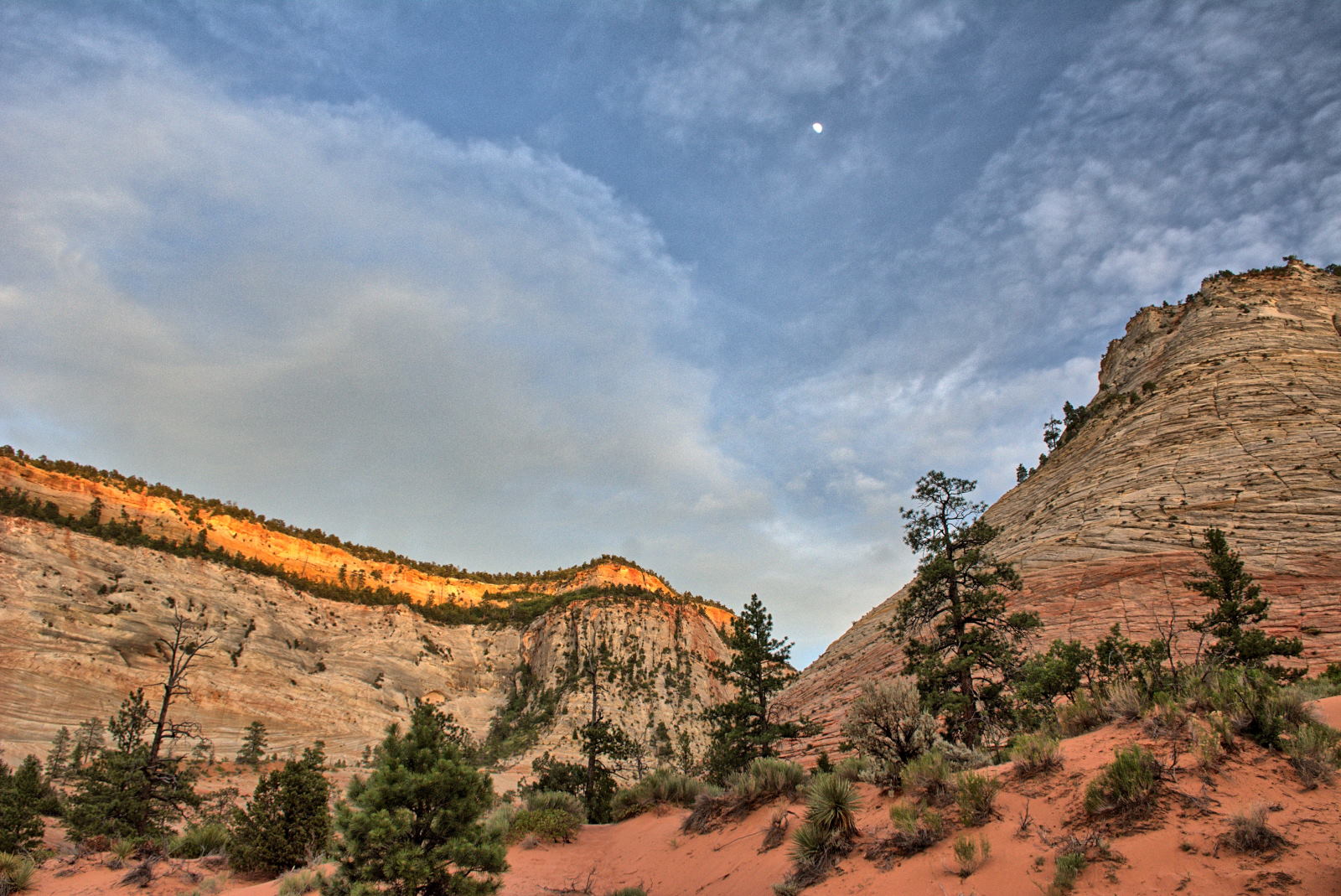
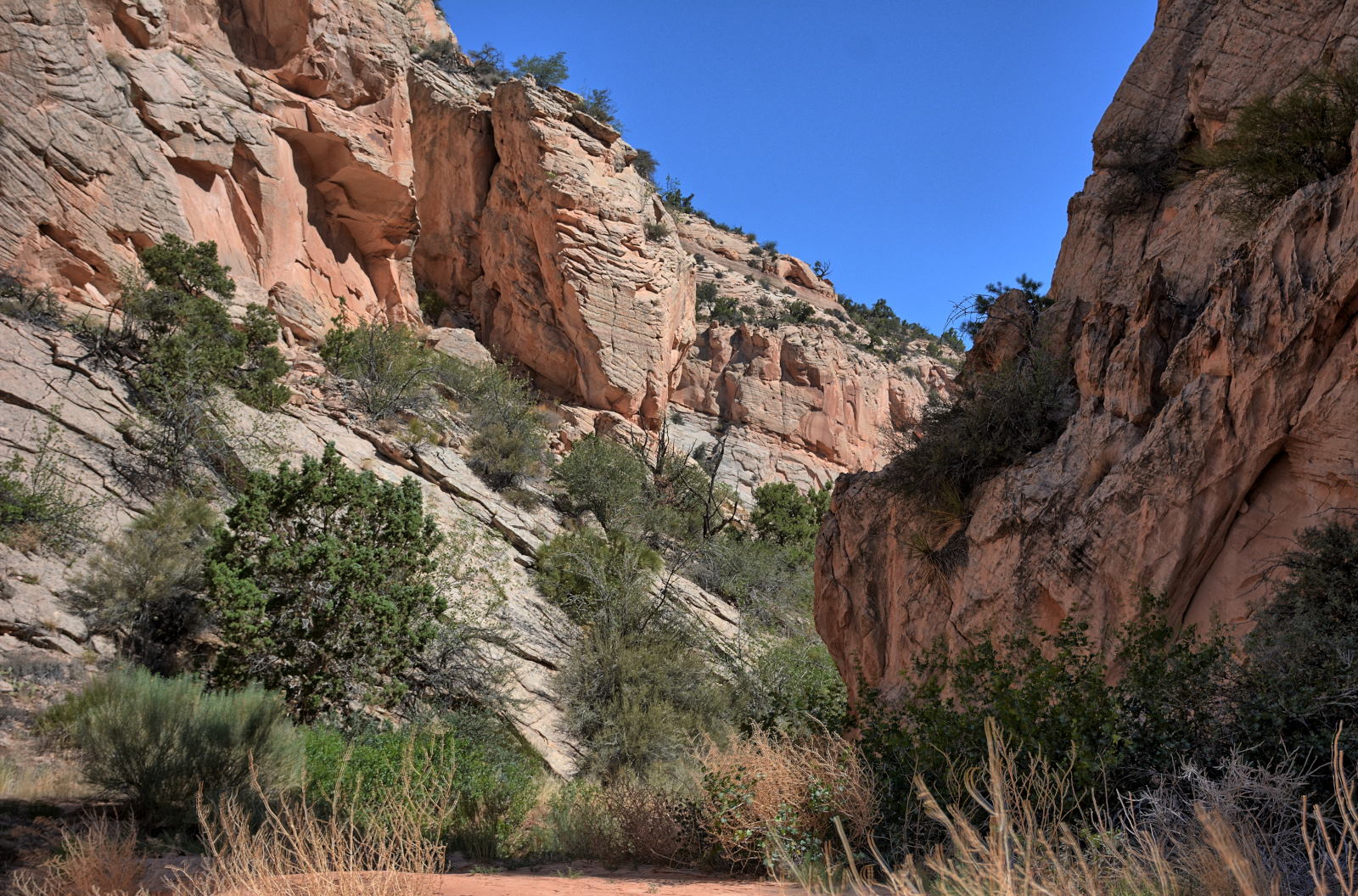
Chris has been to Zion National Park many times, but he has never driven
around and visited Kolob Terrace and Lava Point, the area above the main canyon.
He did get a ride on a hiking shuttle to the trailhead for West Rim Trail at
Lava Point several years earlier, but
did not see anything of the area, as the ride was early in the morning just to get directly to the
trailhead for an all-day hike back down into Zion Canyon. He decided to drive up
onto Kolob Terrace for this day, and explore. He visited
Lava Point and
Kolob Reservoir, and many viewpoints along the road. He
particularly liked the views
looking north from Hop Valley Trailhead and
looking southwest from Wildcat Canyon Trailhead.
This spot on Kolob Terrace Road has fantastic views
looking southeast across Zion, especially at sunset with the light playing
across the rocks. The Lava Point campground was full, so he
camped on BLM land on Smith Mesa, just to the west of Kolob Terrace Road.
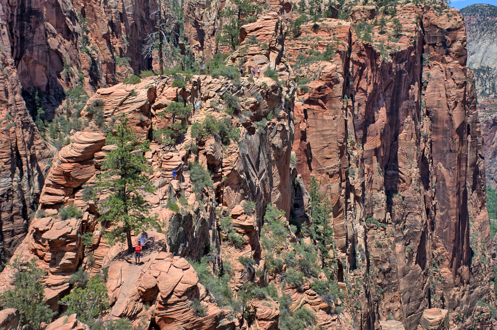
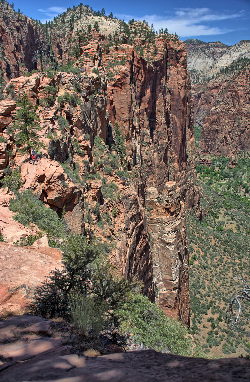
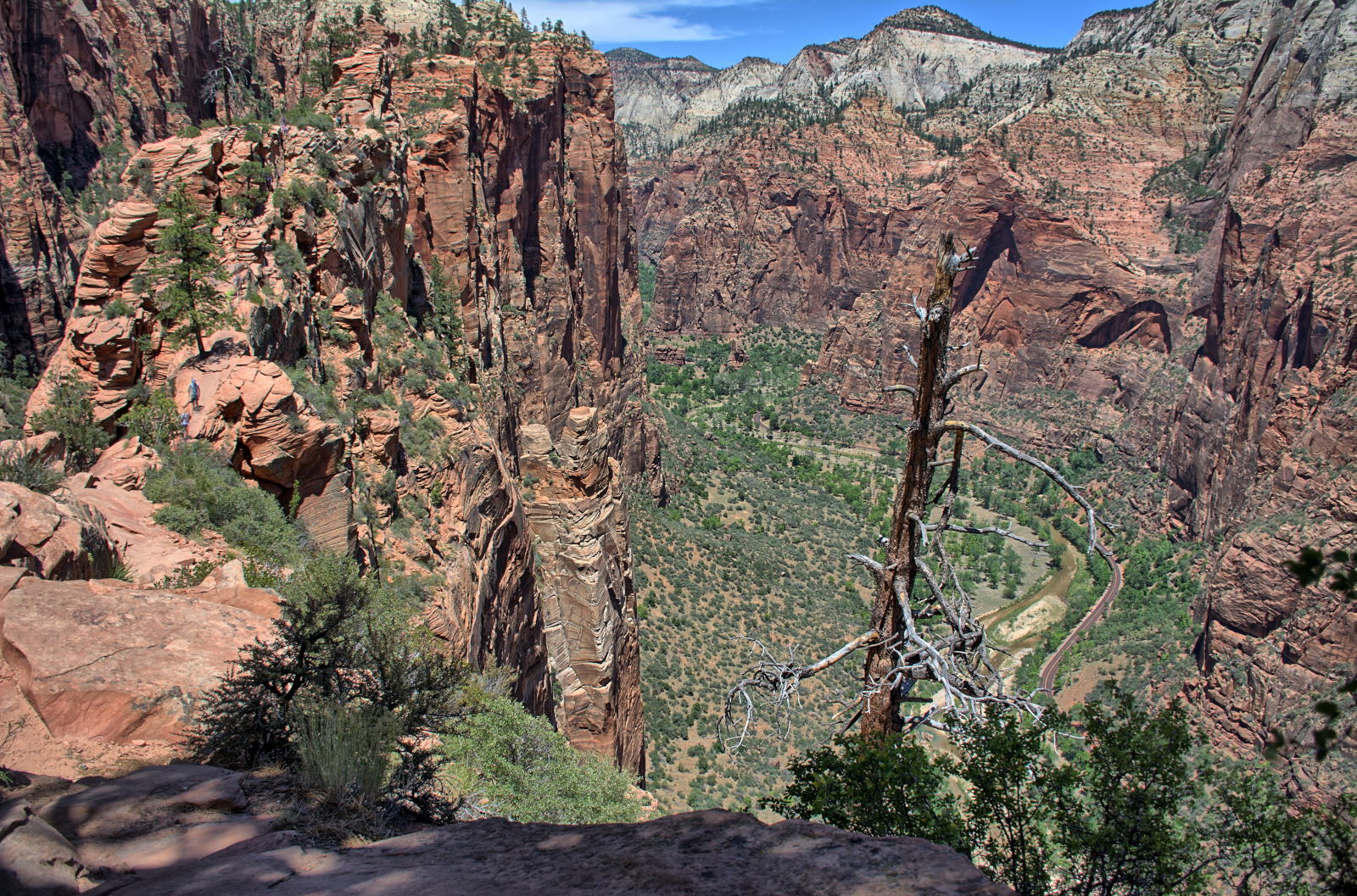
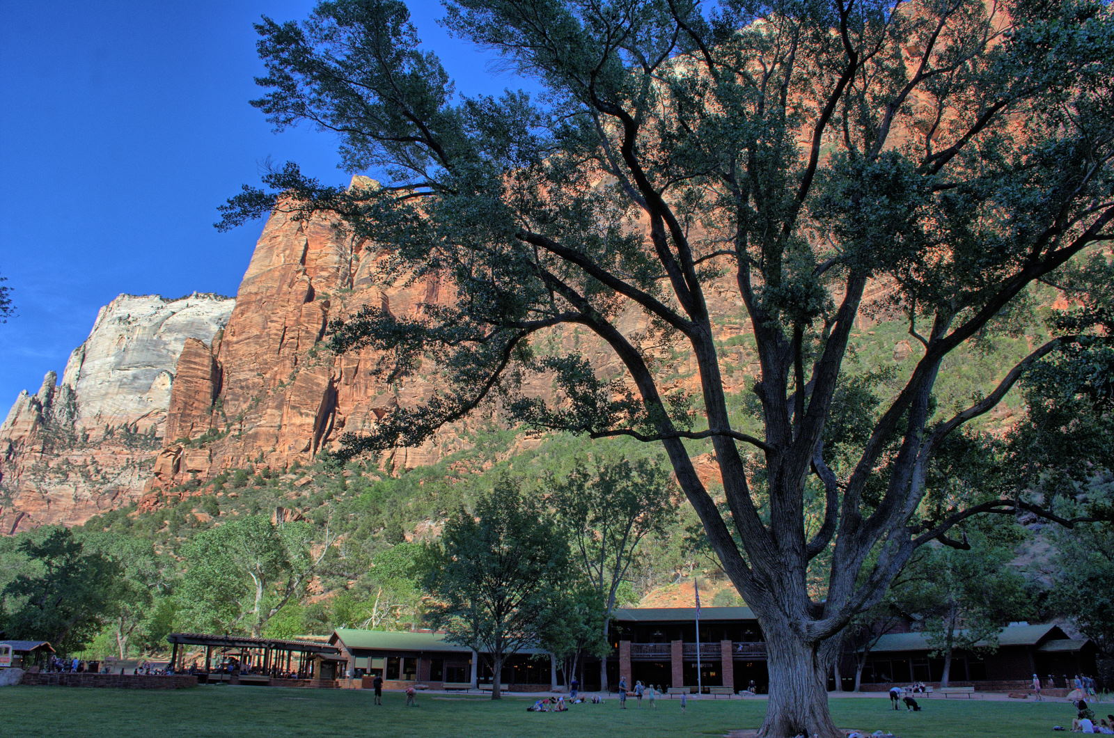
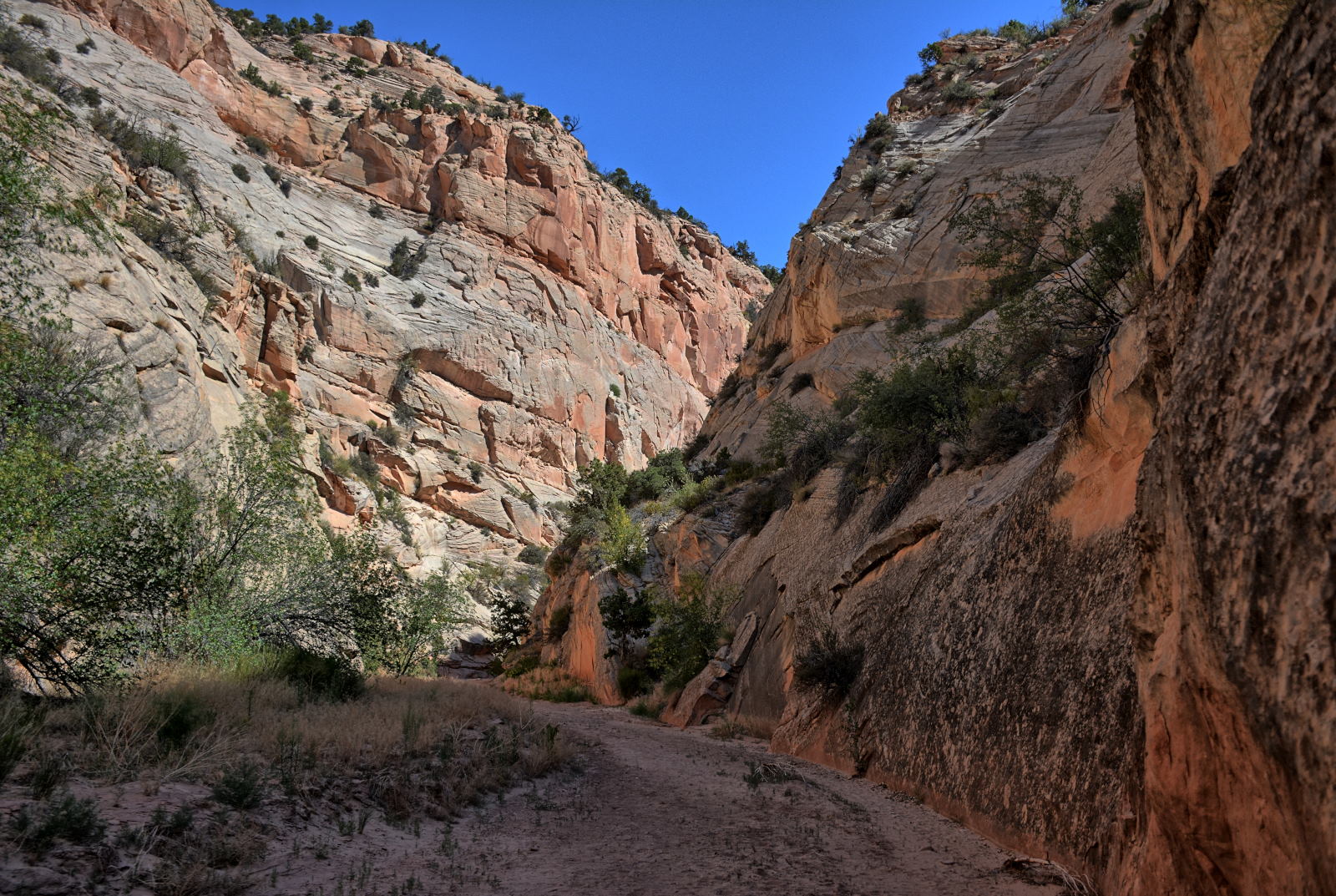
Chris packed up camp and drove to the main entrance of Zion National Park in
Springdale. It
was before 9 AM, but the park was packed. The main parking lot area by the
visitor center was full, but the Nature Center, just a short distance away,
still had room. Chris walked back to the visitor center to get on the
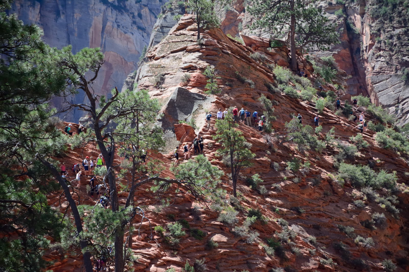
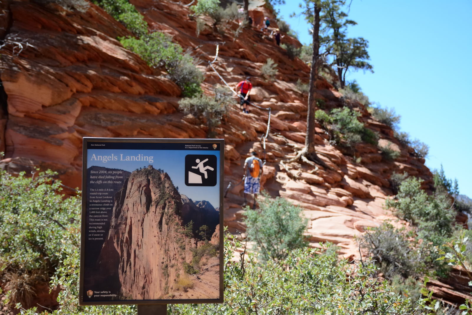
shuttle bus to ride to Angels Landing, only to find a very long line. The
first two minutes of the GoPro Angels Landing video below shows the line as it
stretched from the entrance station to shuttle bus stop #1 next to the visitor
centers. Instead of waiting in this very long line, he walked to shuttle bus stop #2 at the Zion Human History
Museum, about a mile away, and got on the shuttle there with no wait at all.
He asked someone on the bus how long they had waited at stop #1; it was almost
two hours. He explained to them what to do the next day to avoid that
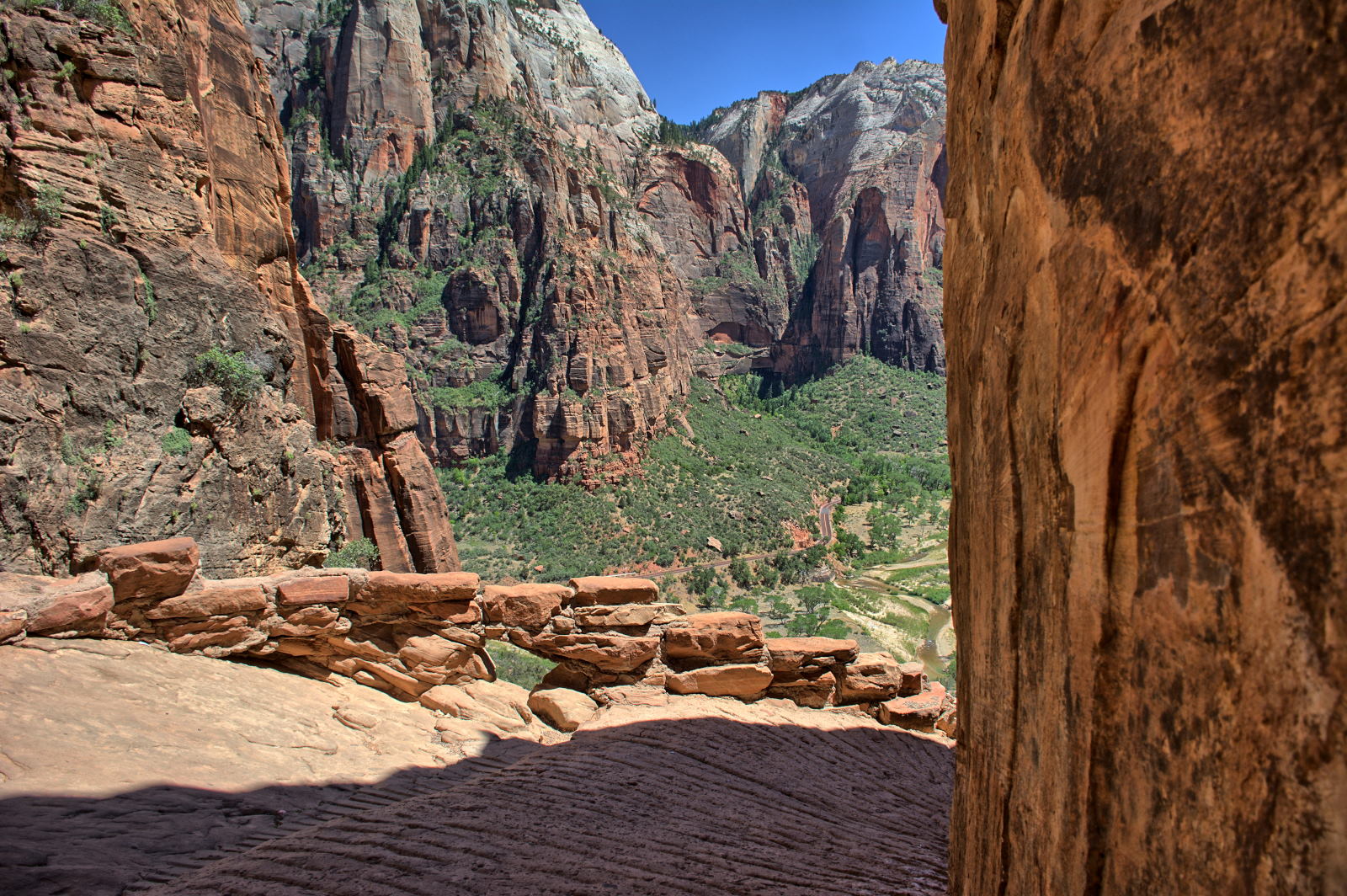
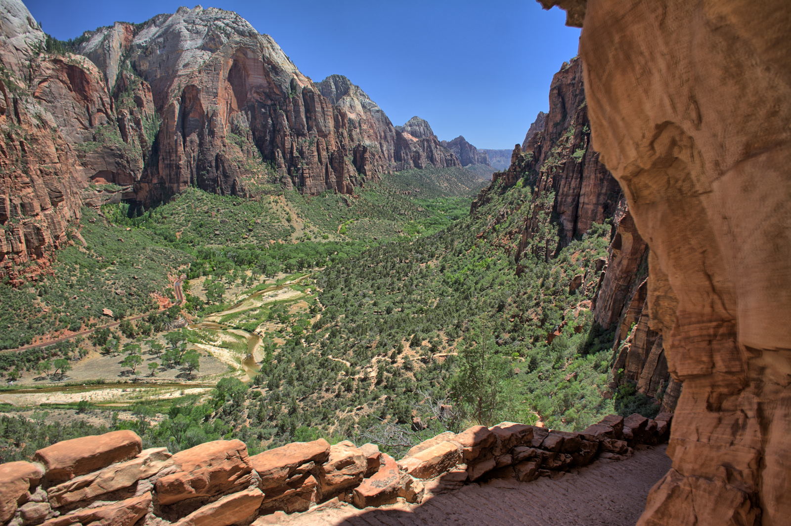
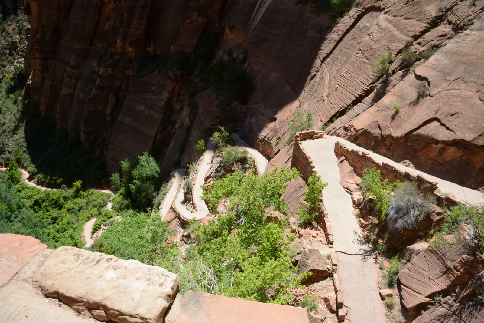
line. Chris rode the bus to the Grotto stop and proceeded on his hike to
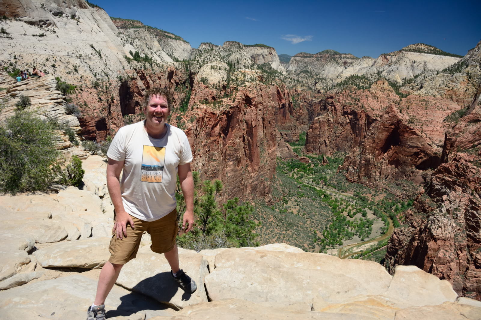
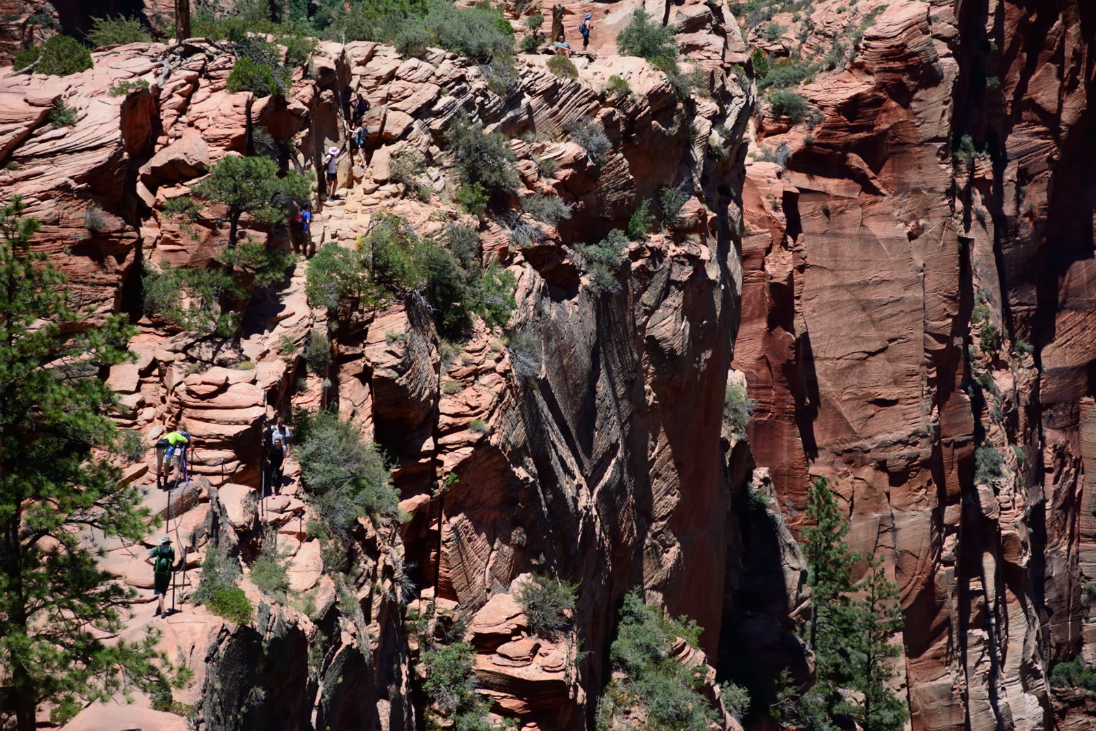
the top of Angels Landing. This was the third time he has climbed Angels
Landing. He took along a GoPro and a Gear 360, and recorded most of the
climb from Scout Lookout onwards. The GoPro video starts out by showing the long line at
the park's entrance, then the entire climb
up and down from Scout Lookout to the top of Angels Landing, and finally Chris
cooling off in the Virgin River at the end of the hike. The Gear 360 videos breaks it up into five pieces;
parts 1 to 4 show the climb to the top, and part 5 shows a panorama from the top
and then a short section of the climb back down, as the trail crosses the narrow
backbone of rocks as you approach Scout Lookout from above. Part 5 is the best
of these videos for view and scare factor. After relaxing in the Virgin
River for a while, Chris continued
on his hike along the Kayenta Trail to the Emerald Pools and to Zion Lodge,
where he caught the shuttle bus back to the visitor center.
View while eating dinner on the deck at Pizza & Noodles
23 June 2018, Saturday
Chris drove from Kanab to the
White House Campground, where he and Nathan had camped with Karen and Doug
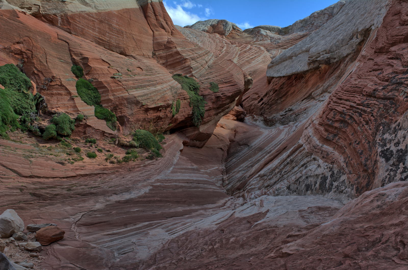
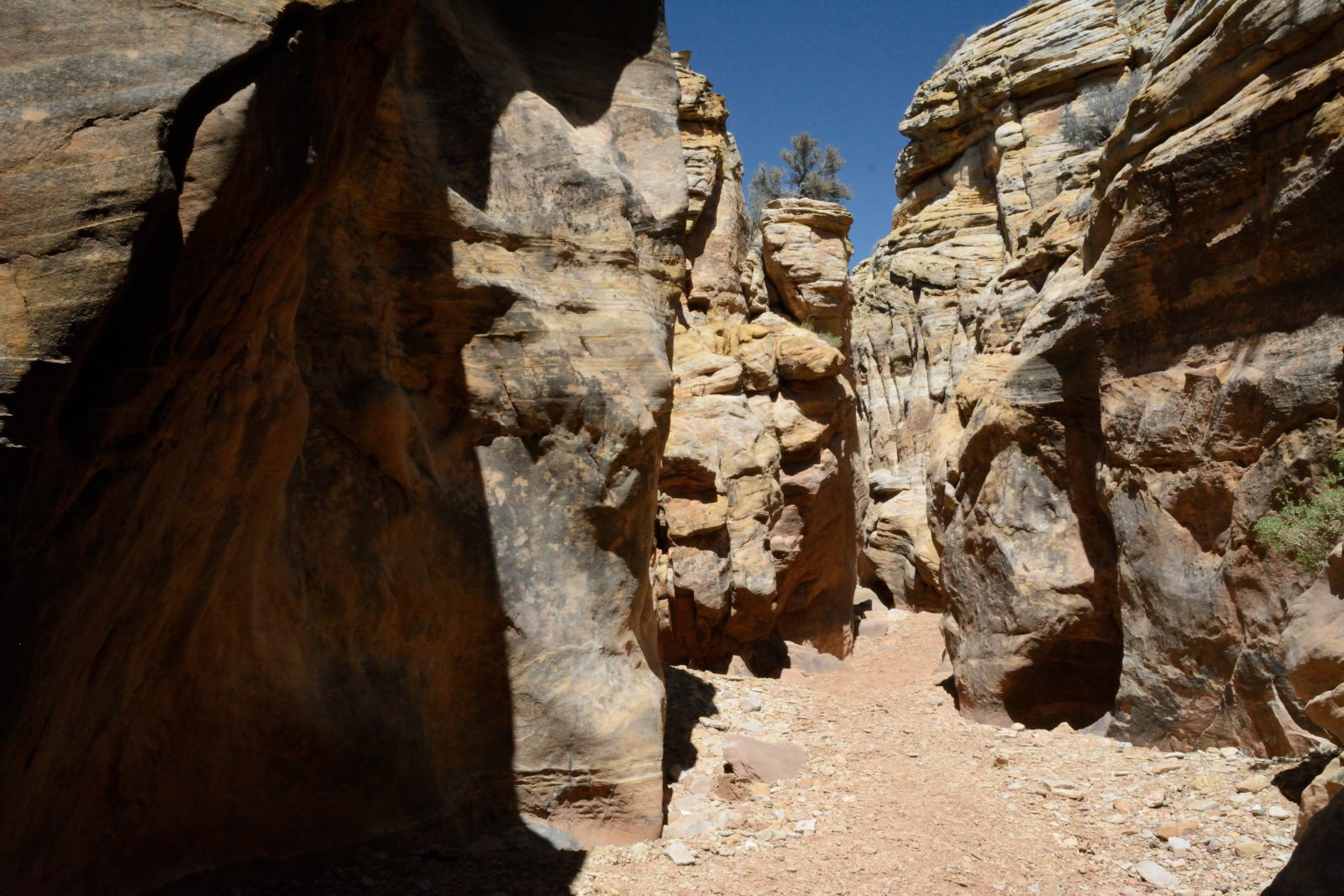
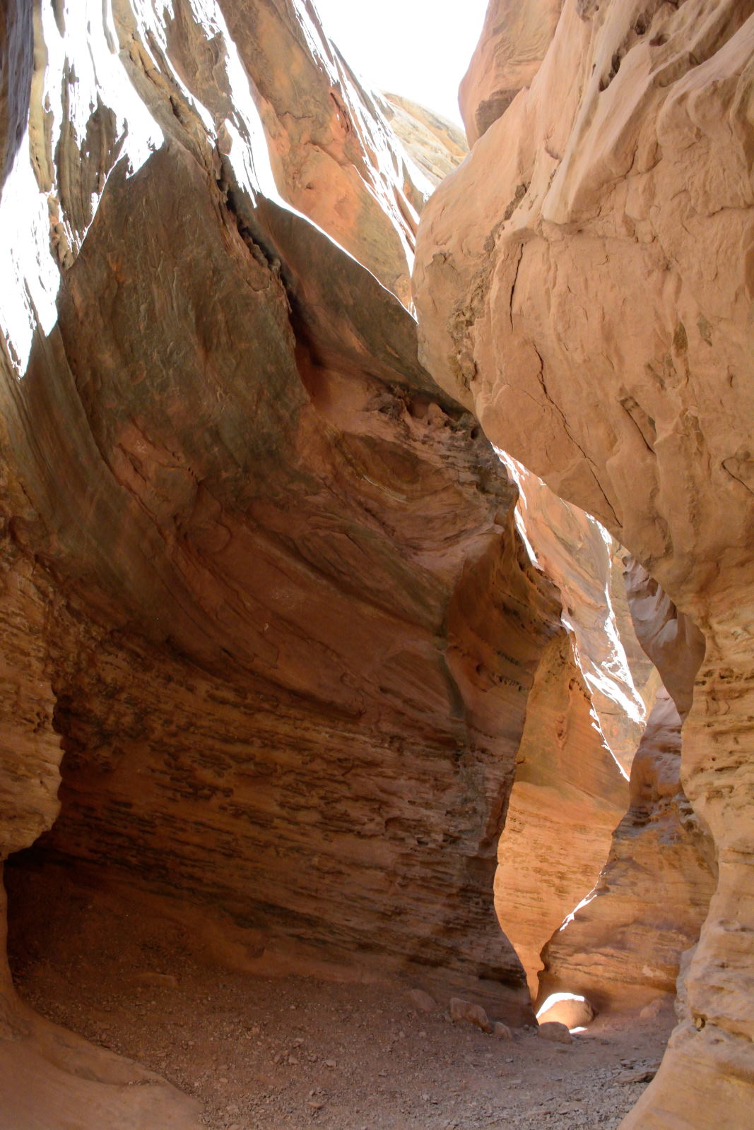
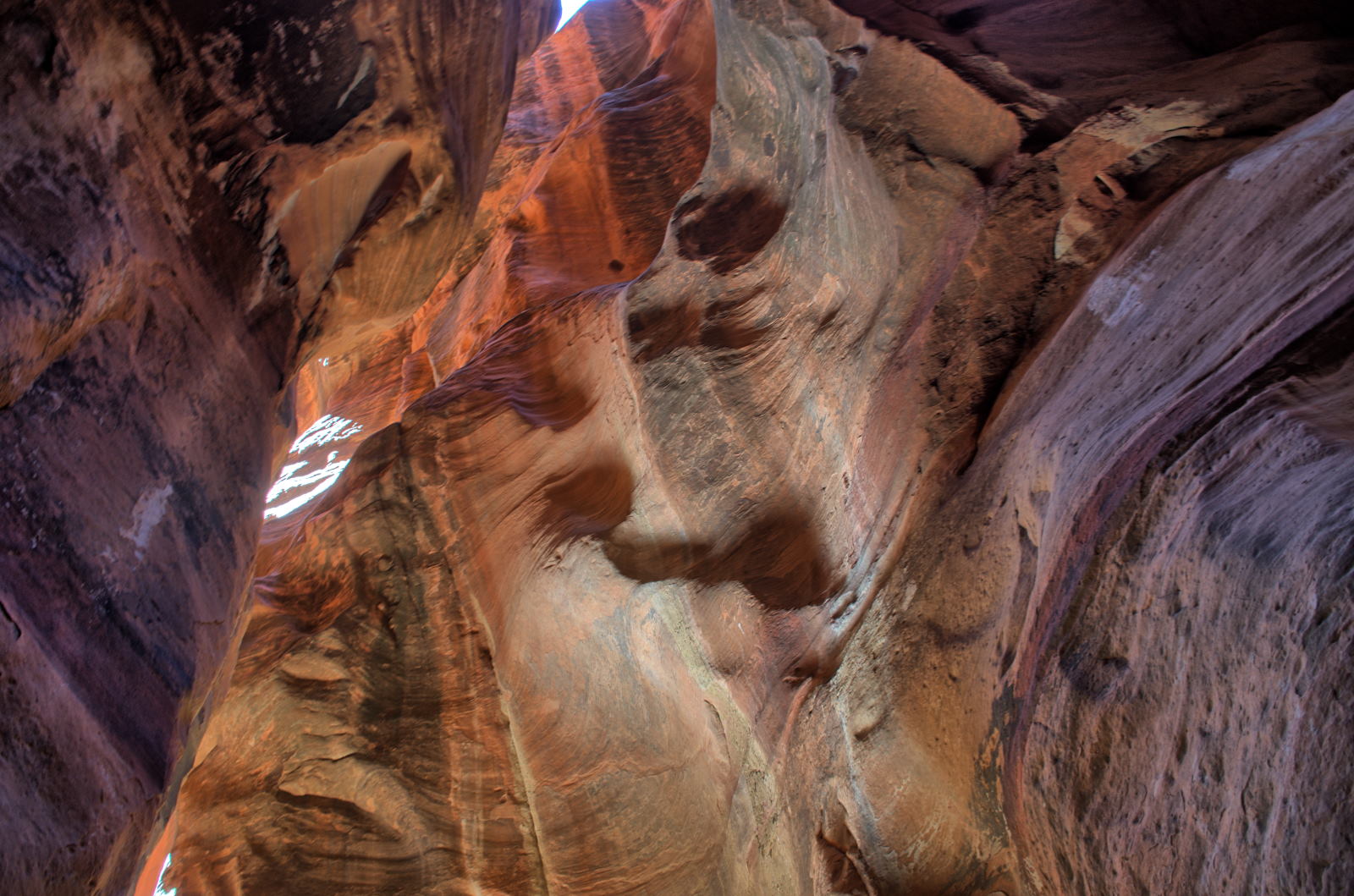
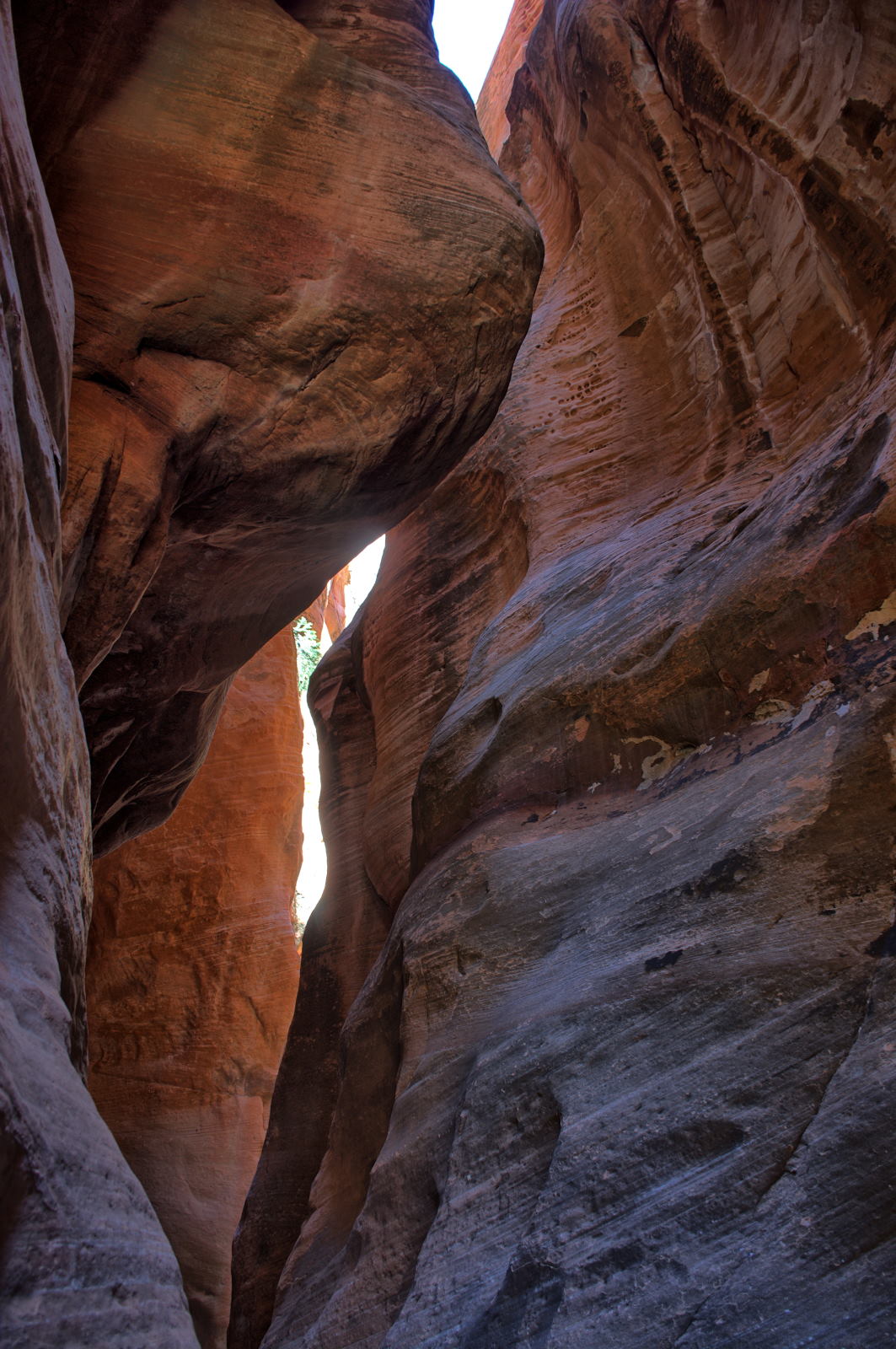
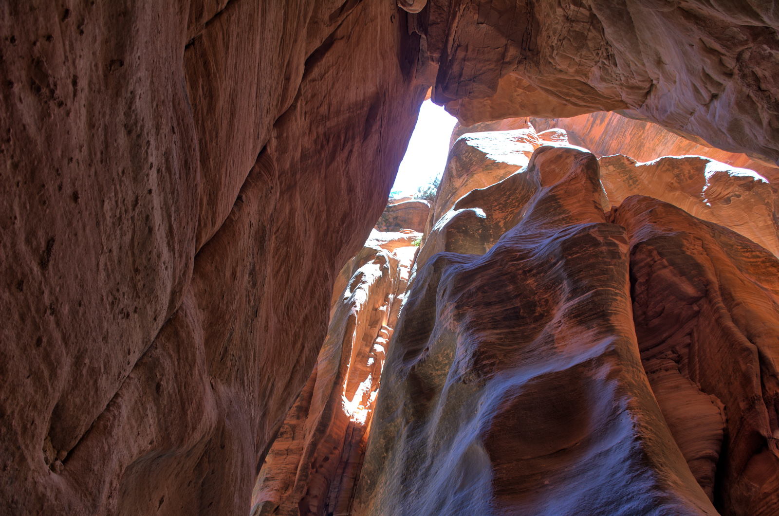
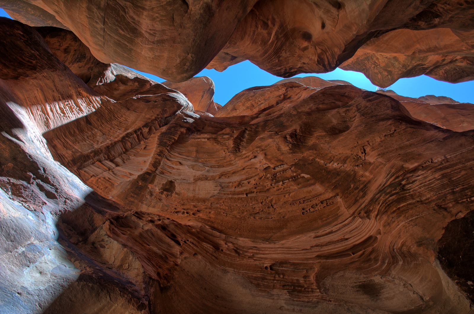
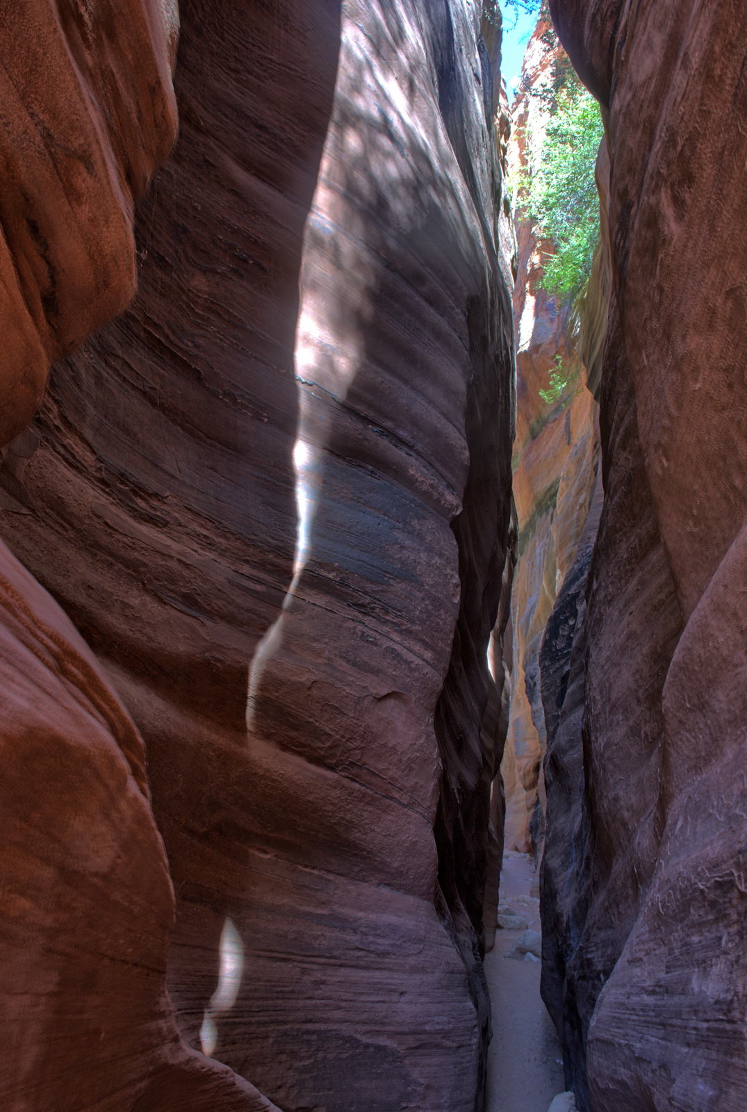
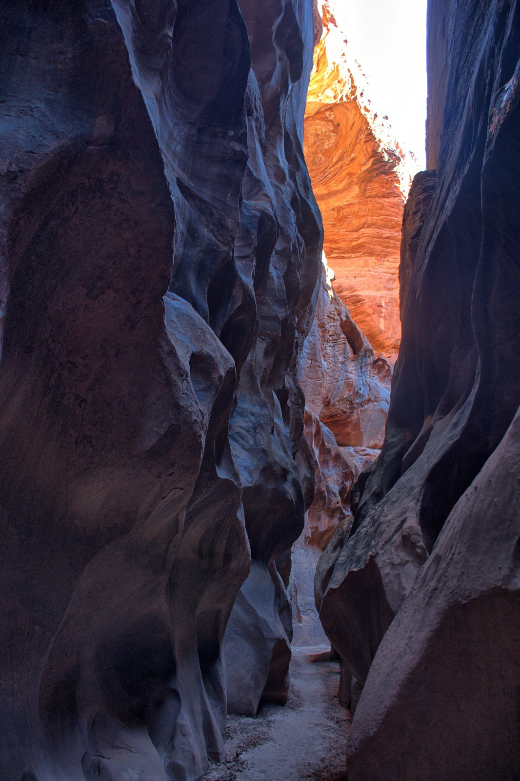
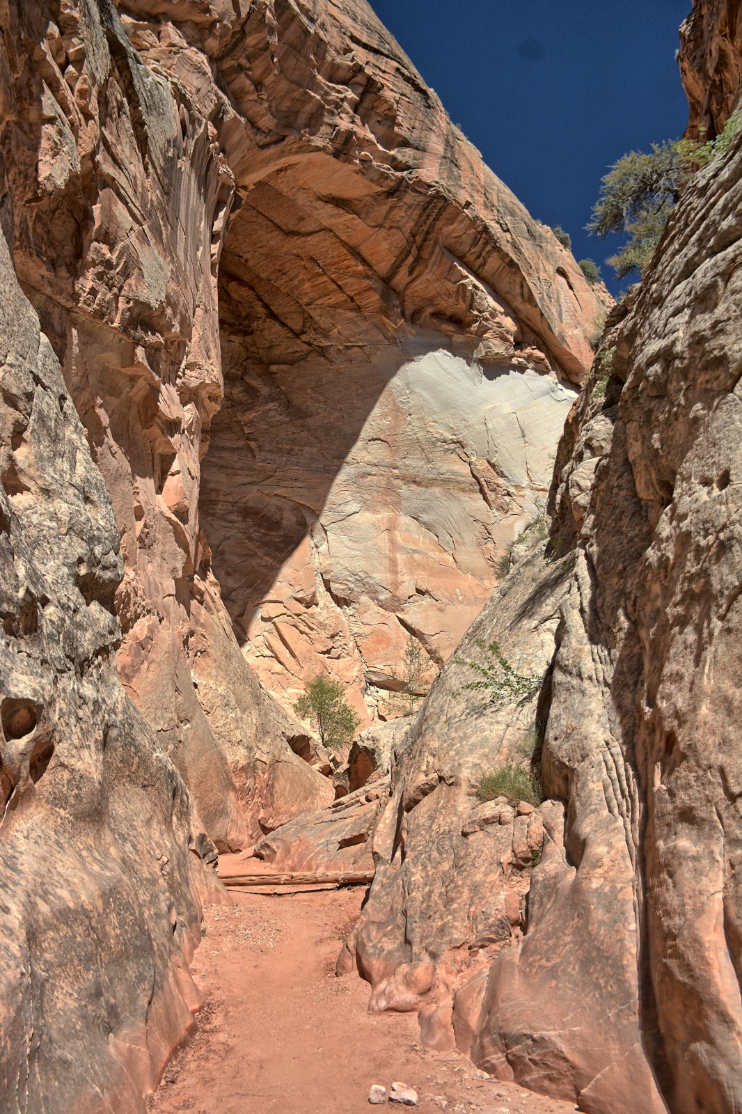
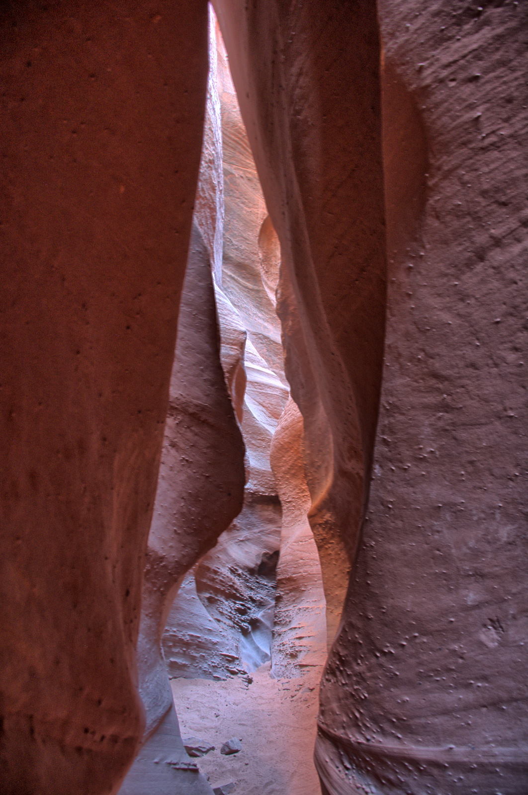
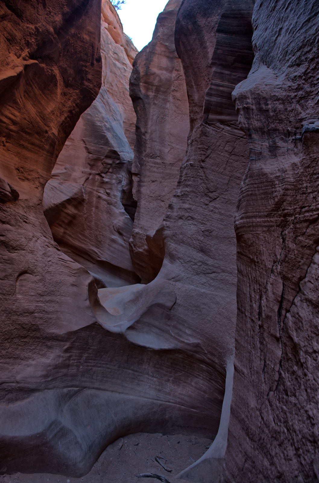
early in the trip. He set up his tent to claim a camping spot, then hiked out to Nautilus slot,
just a short distance from the campground. It is very small slot, less
than 100 feet long, but it has an interesting shape and colors. He then
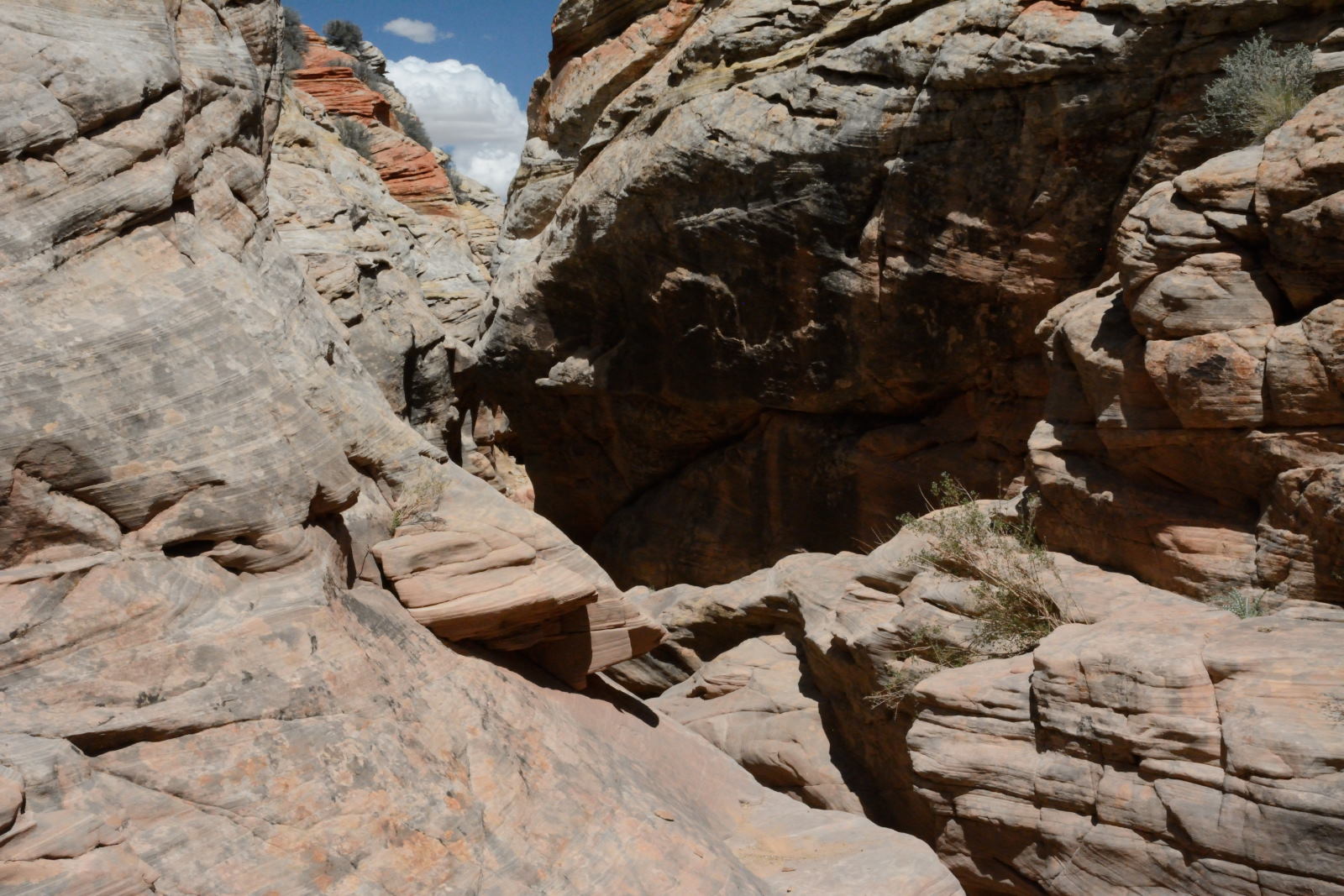
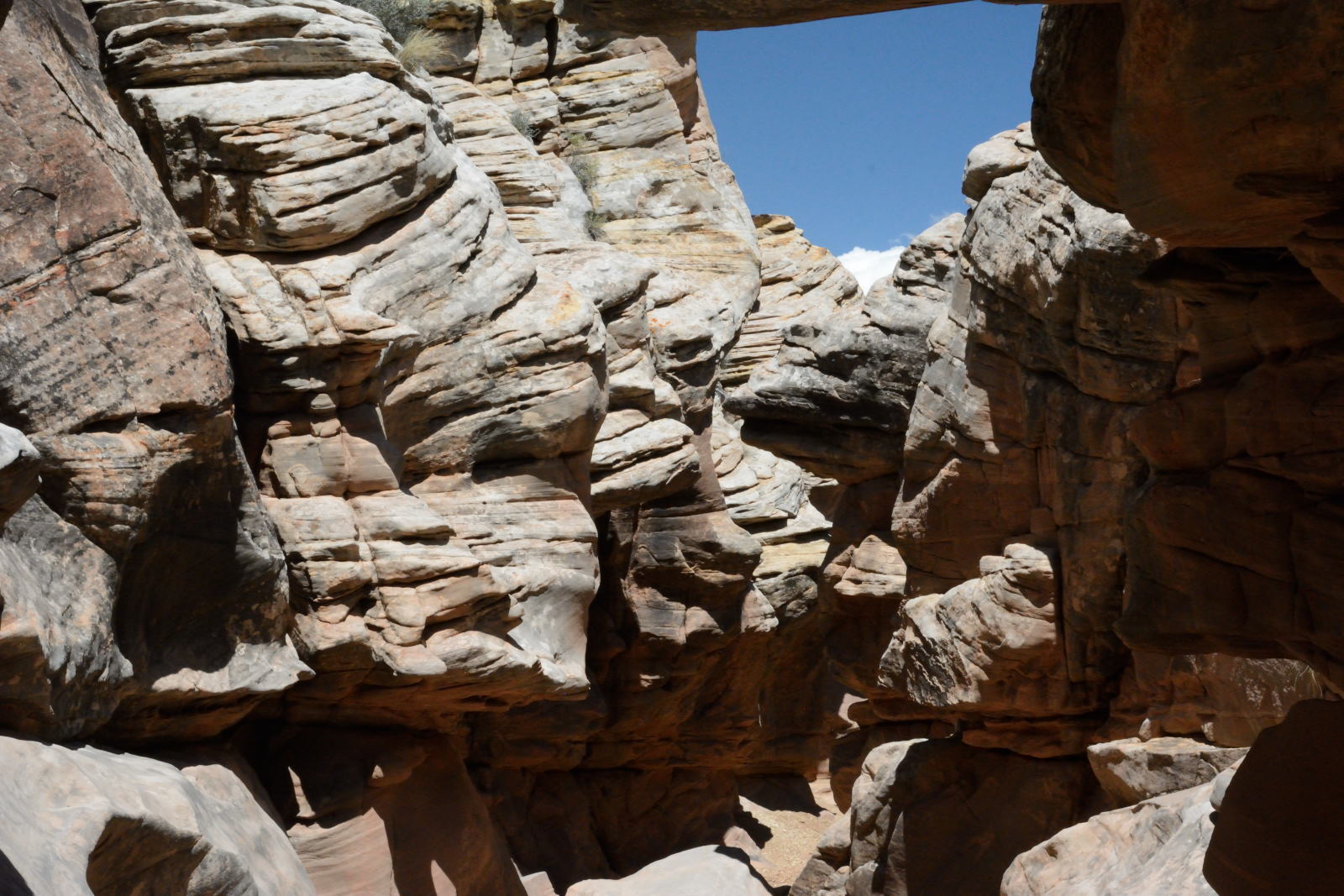
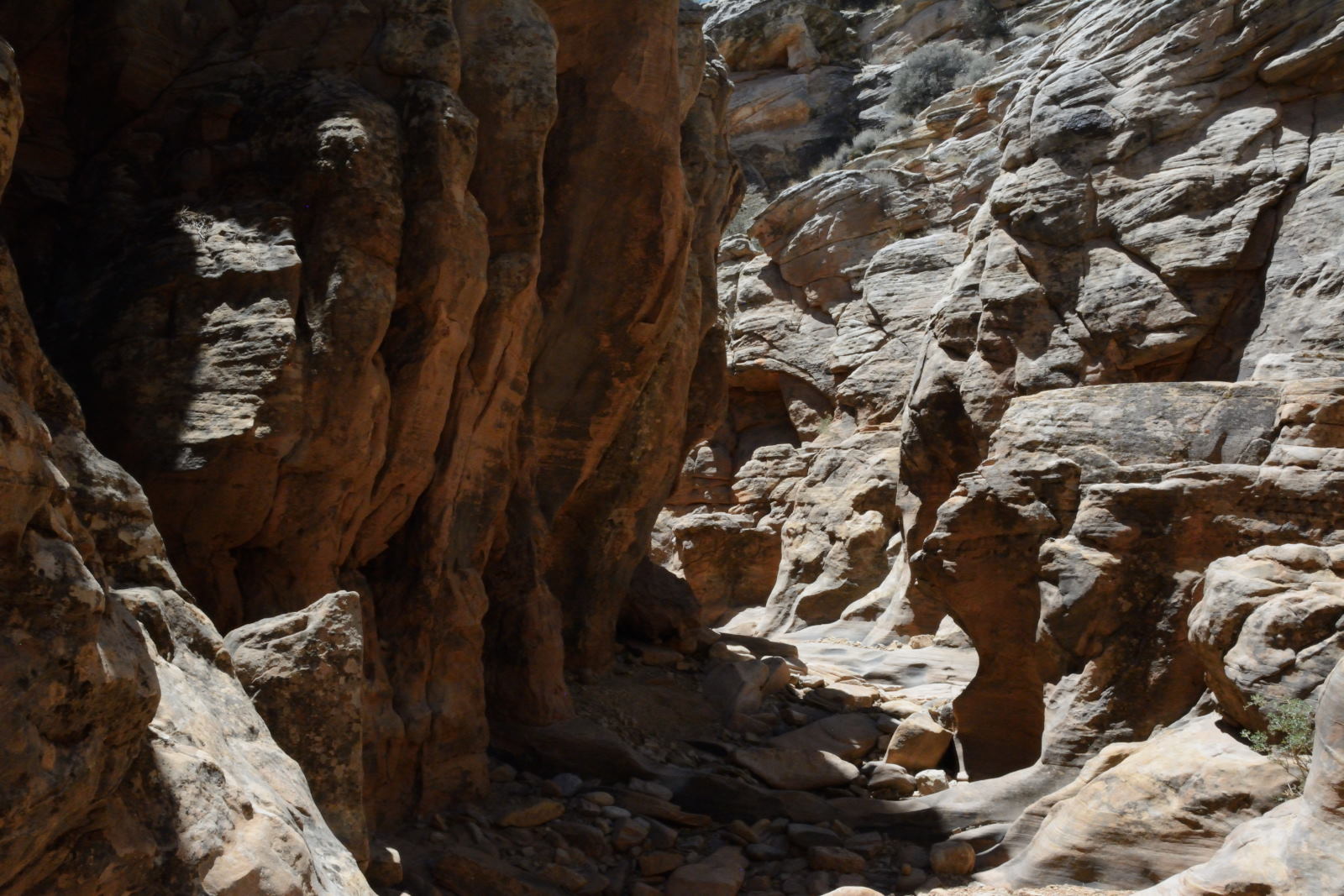
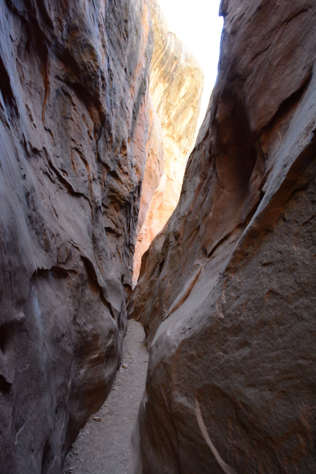
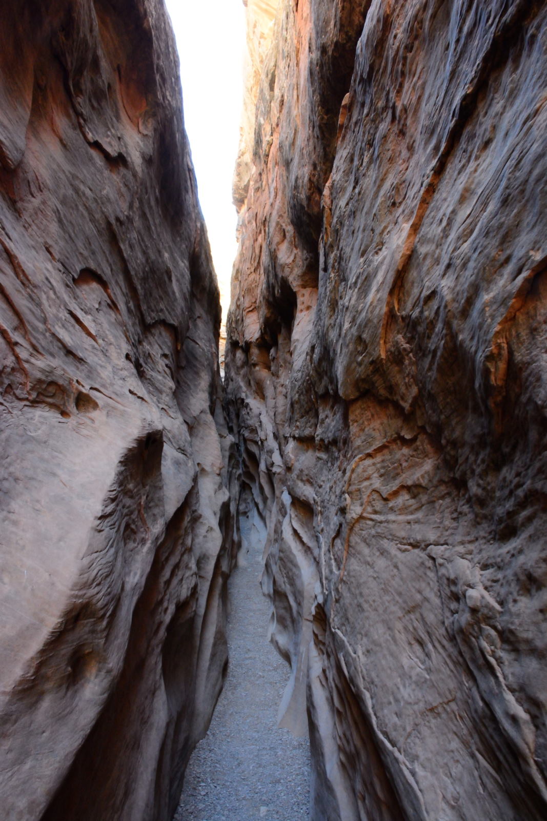
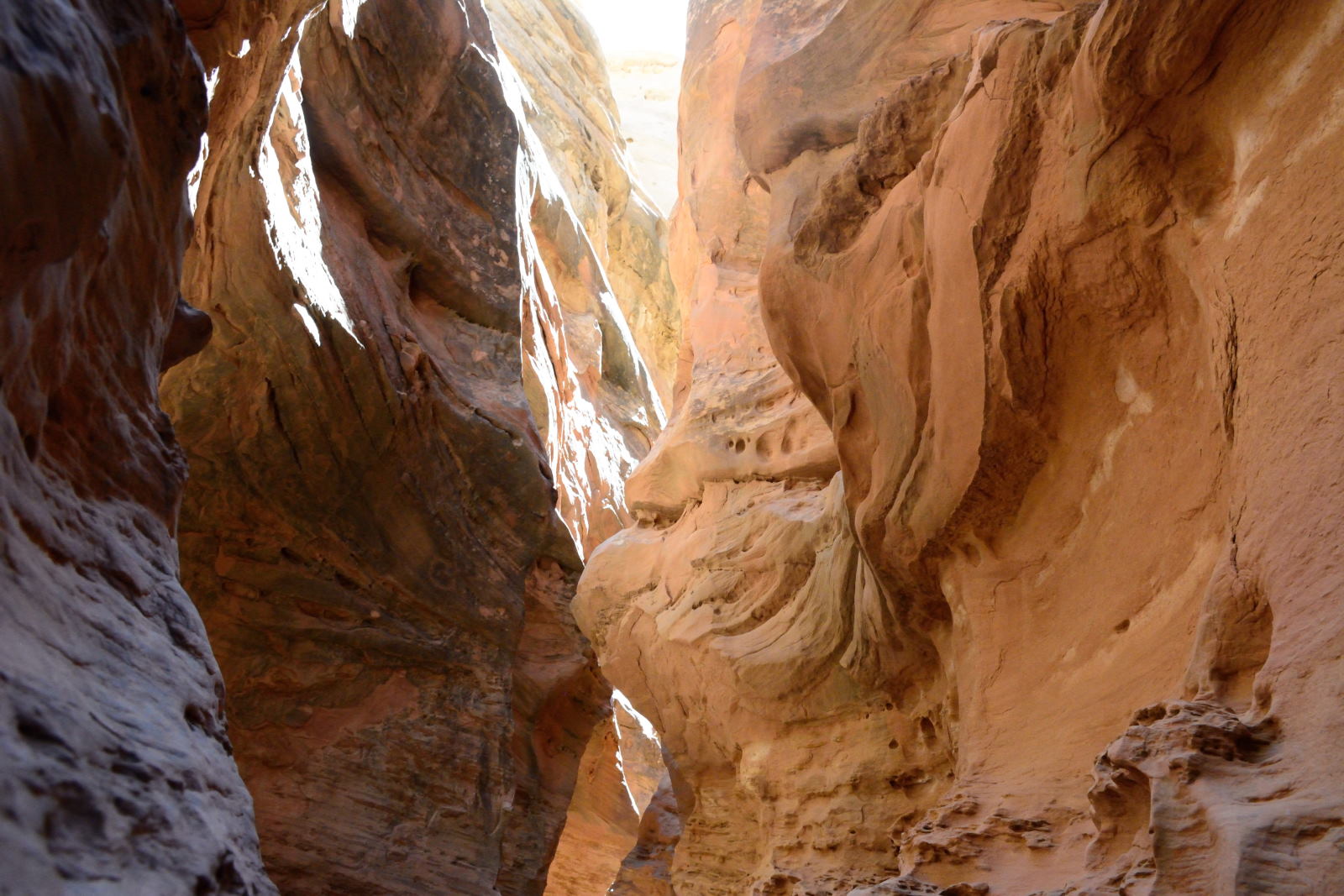
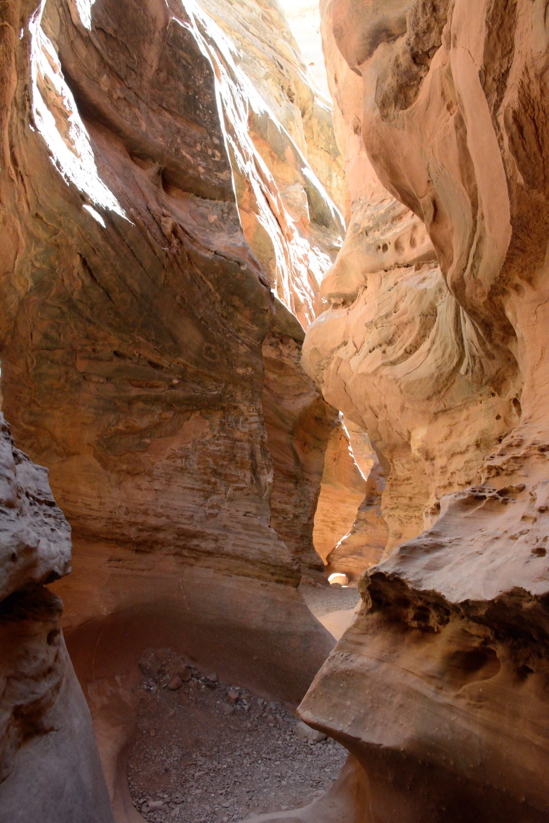
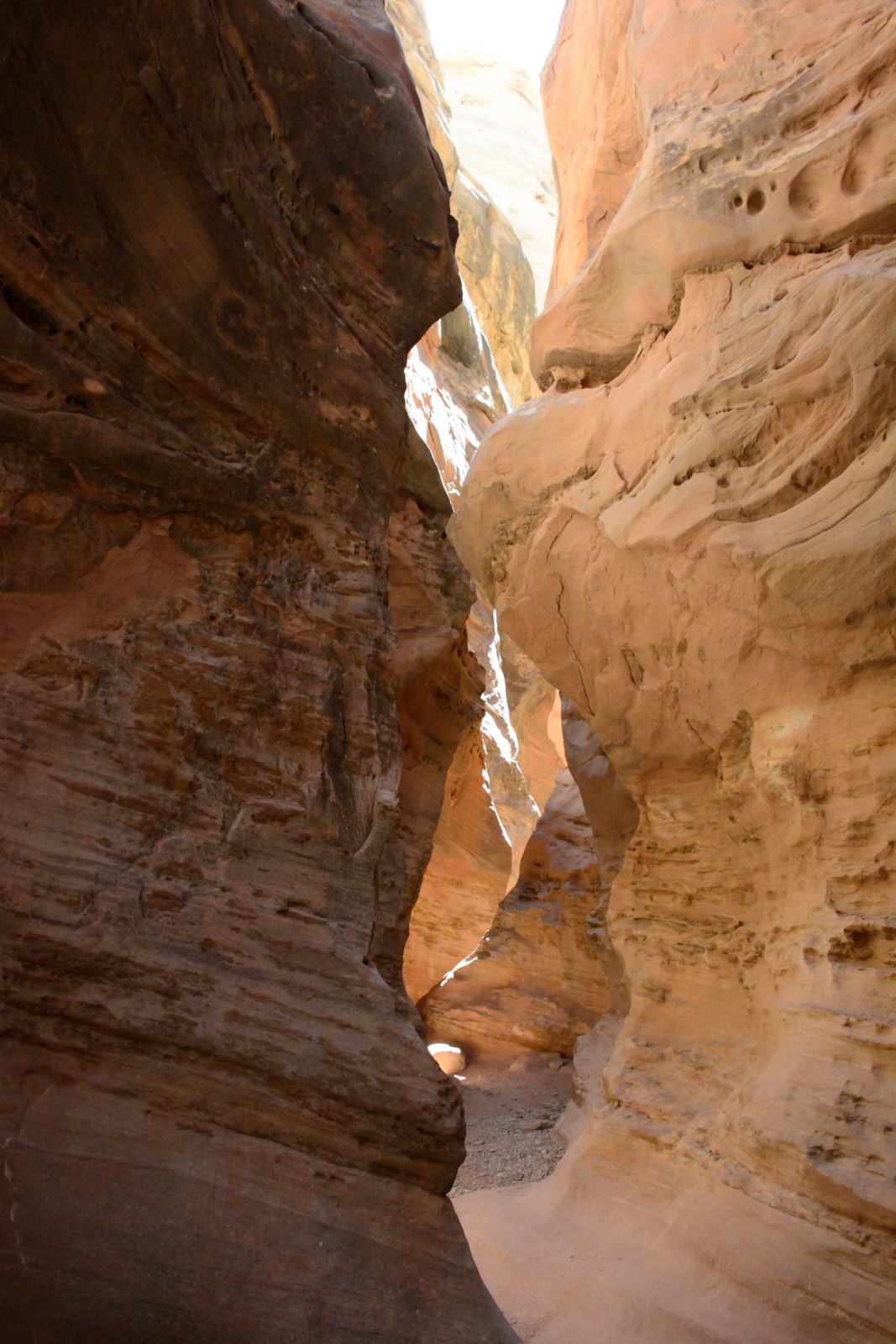
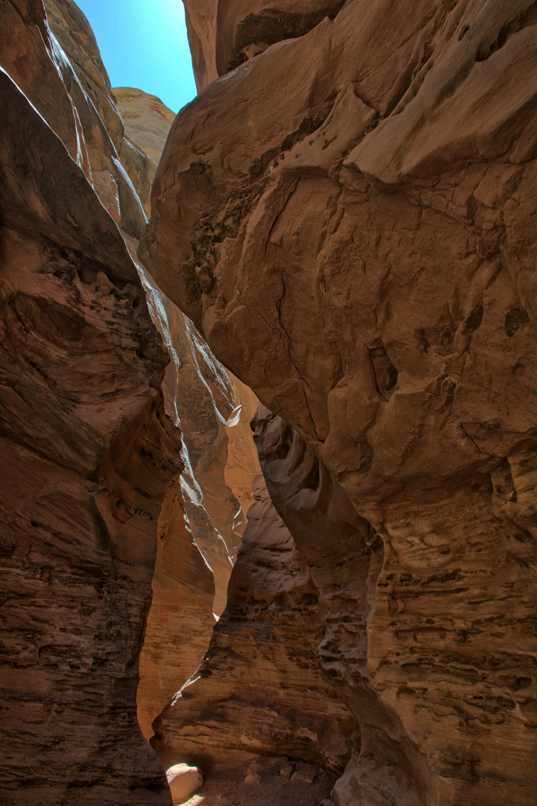
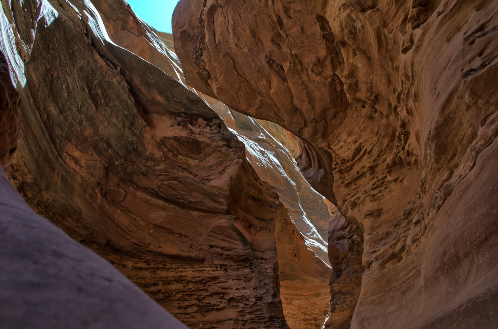
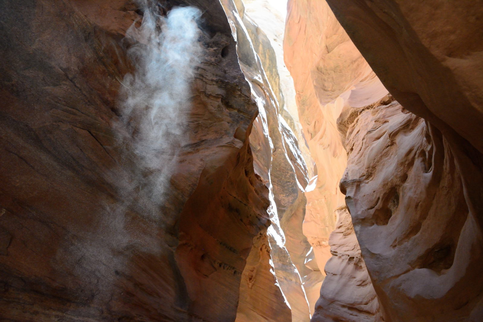
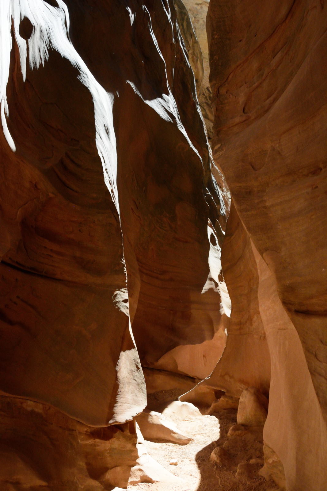
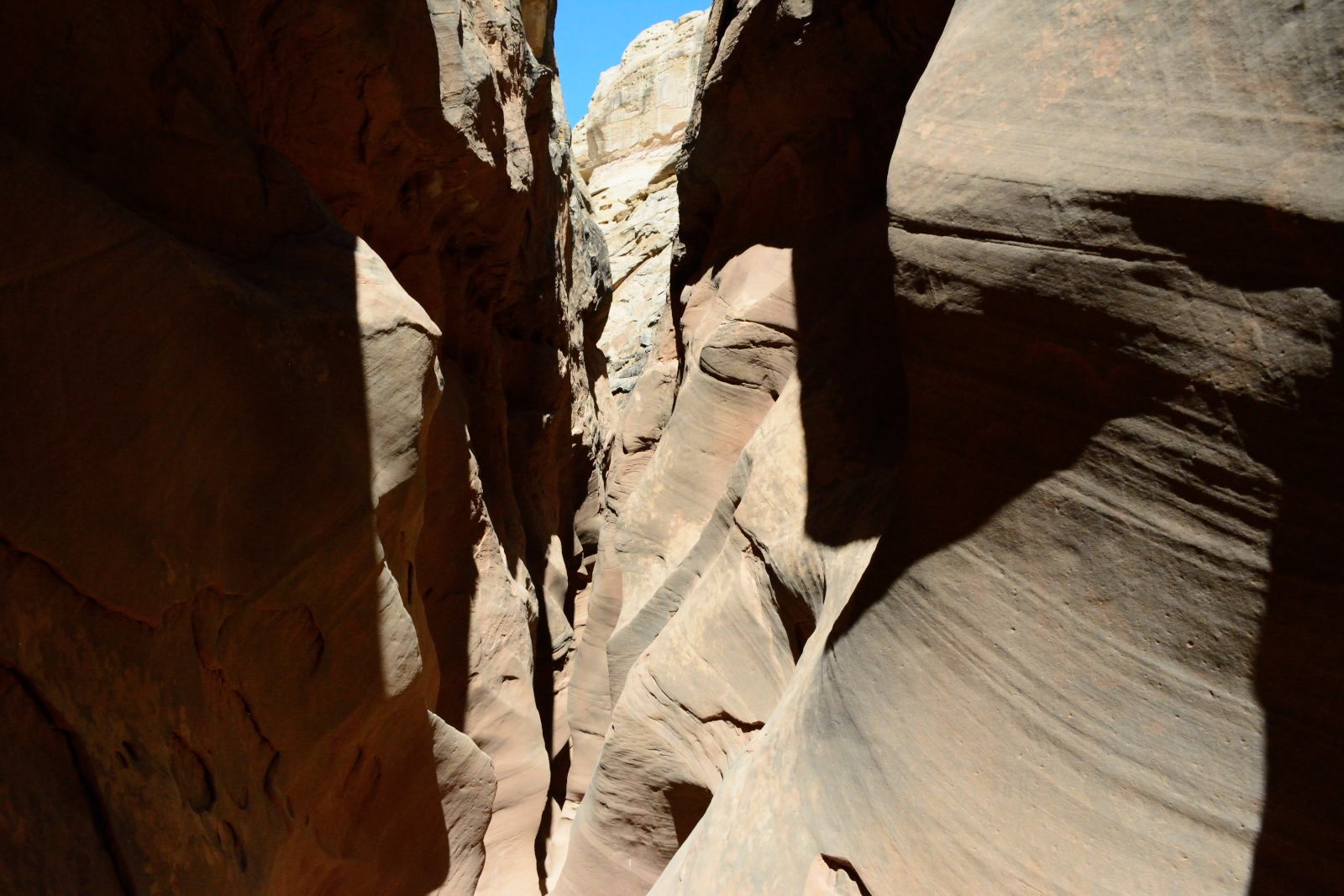
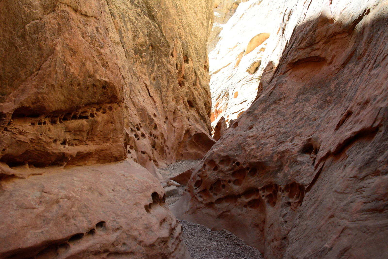
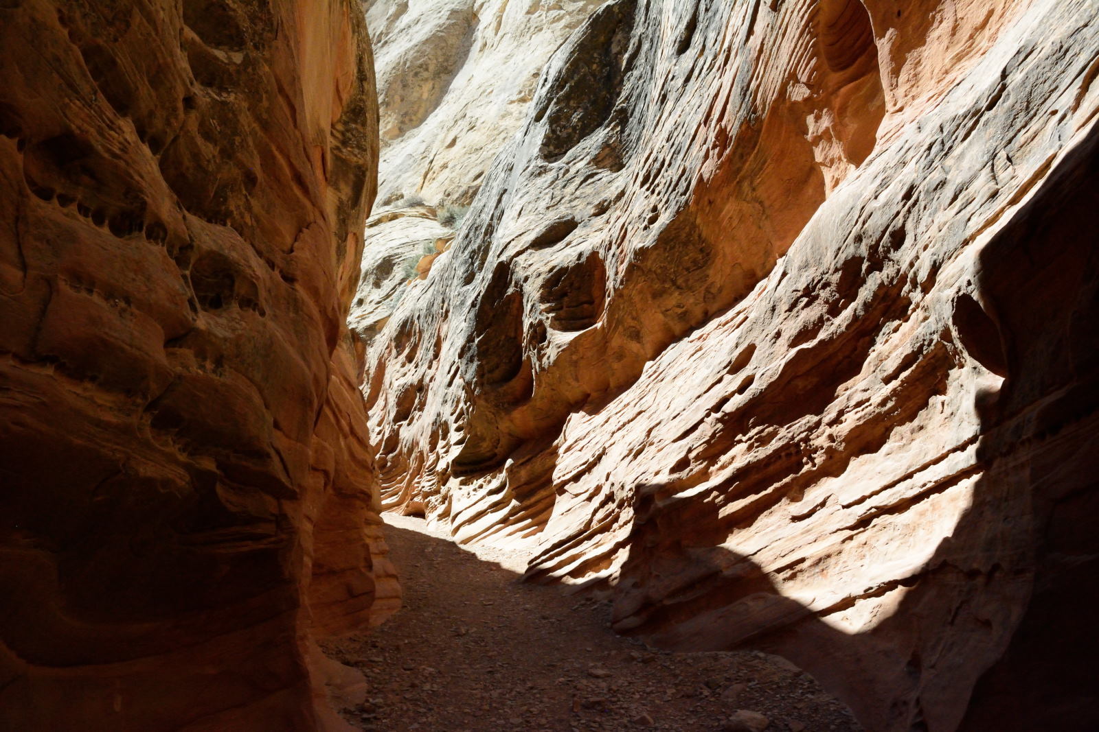
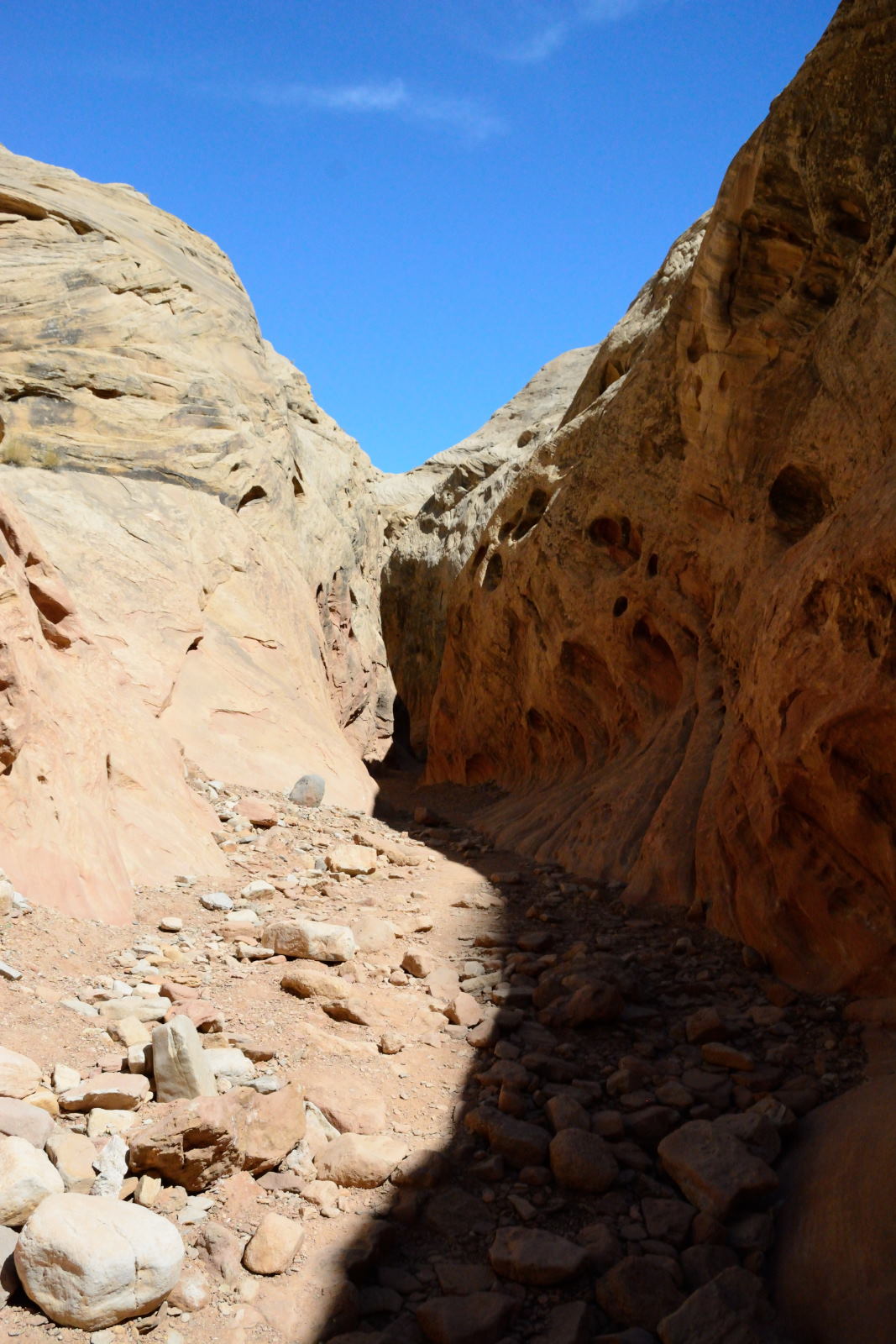
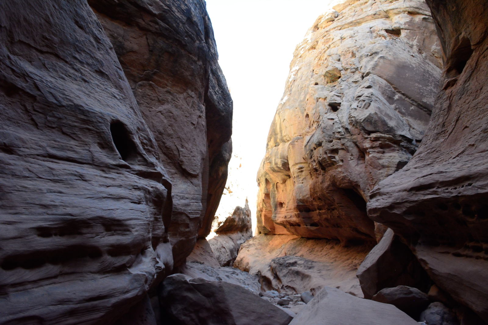
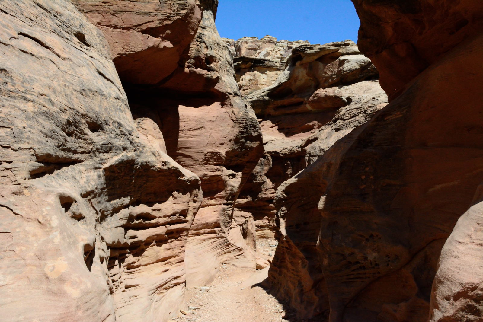
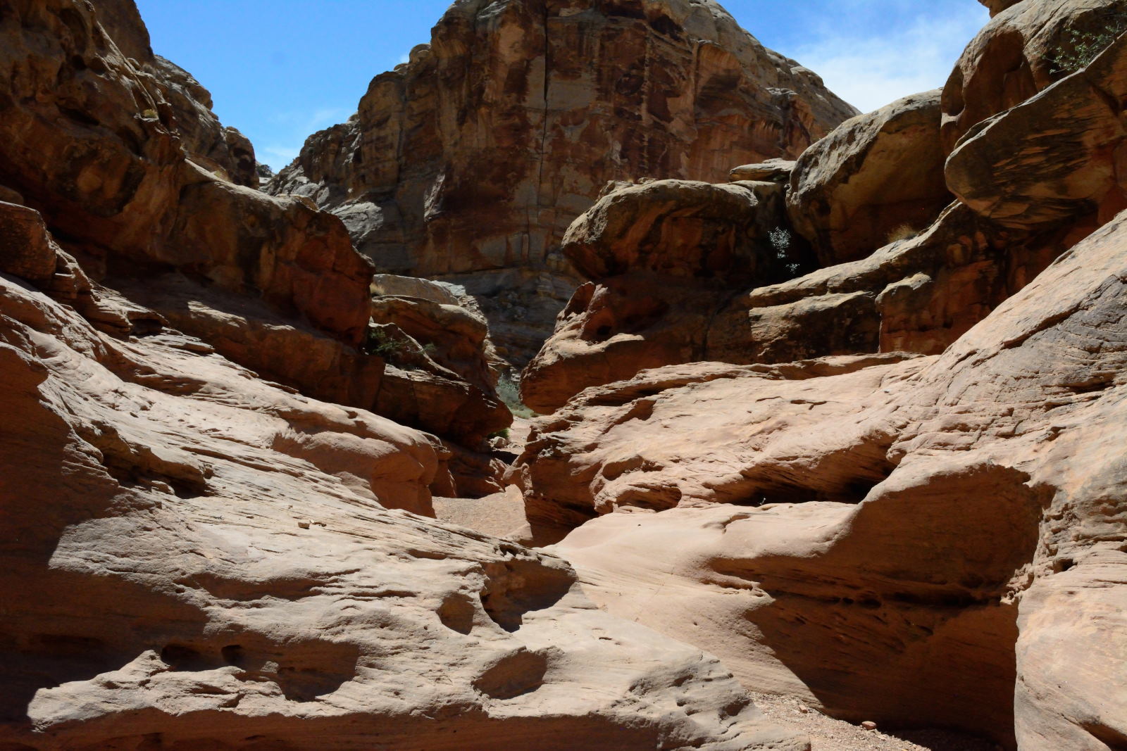
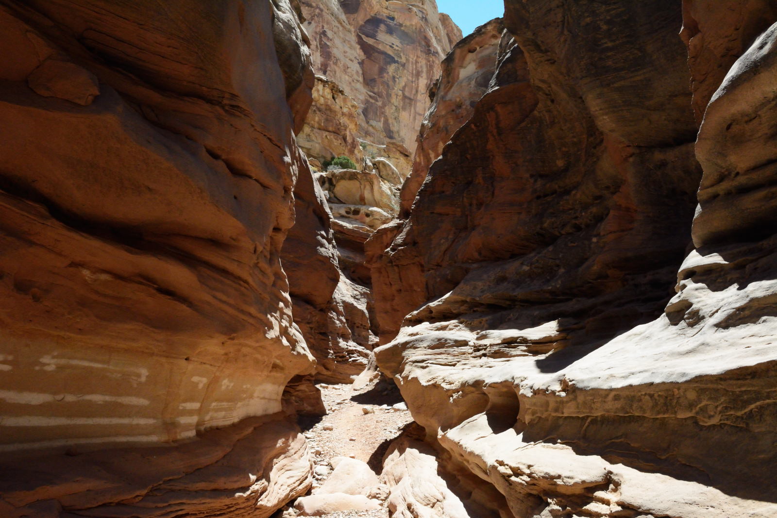
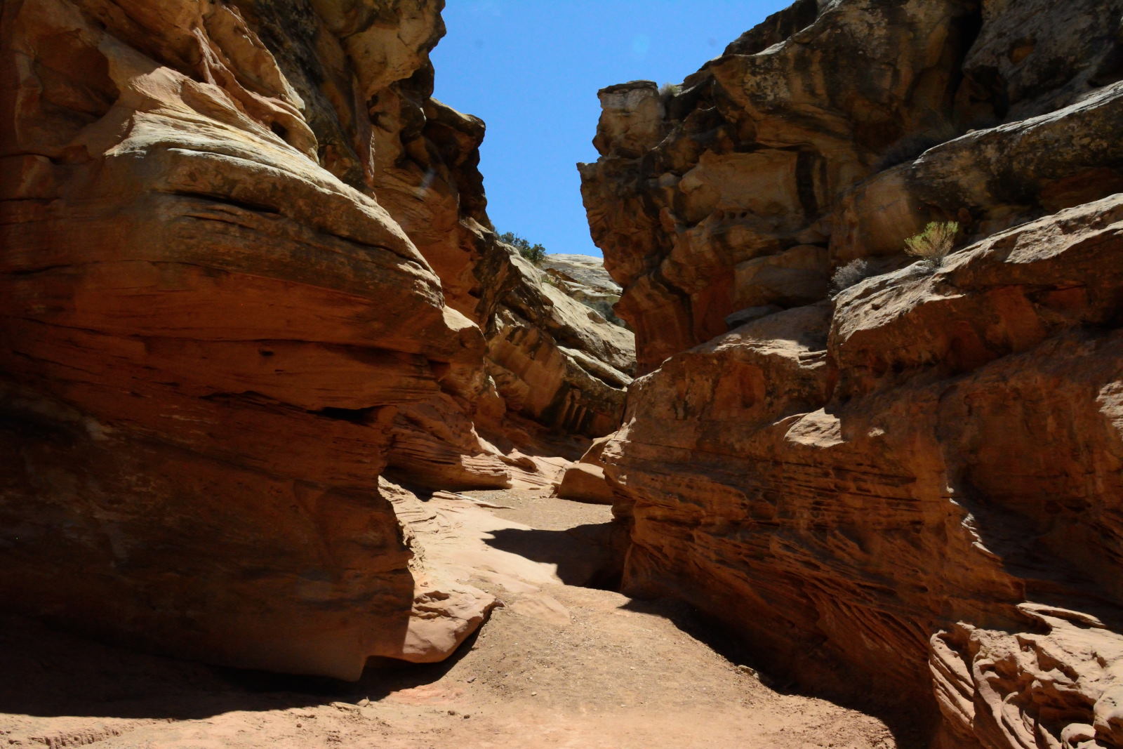
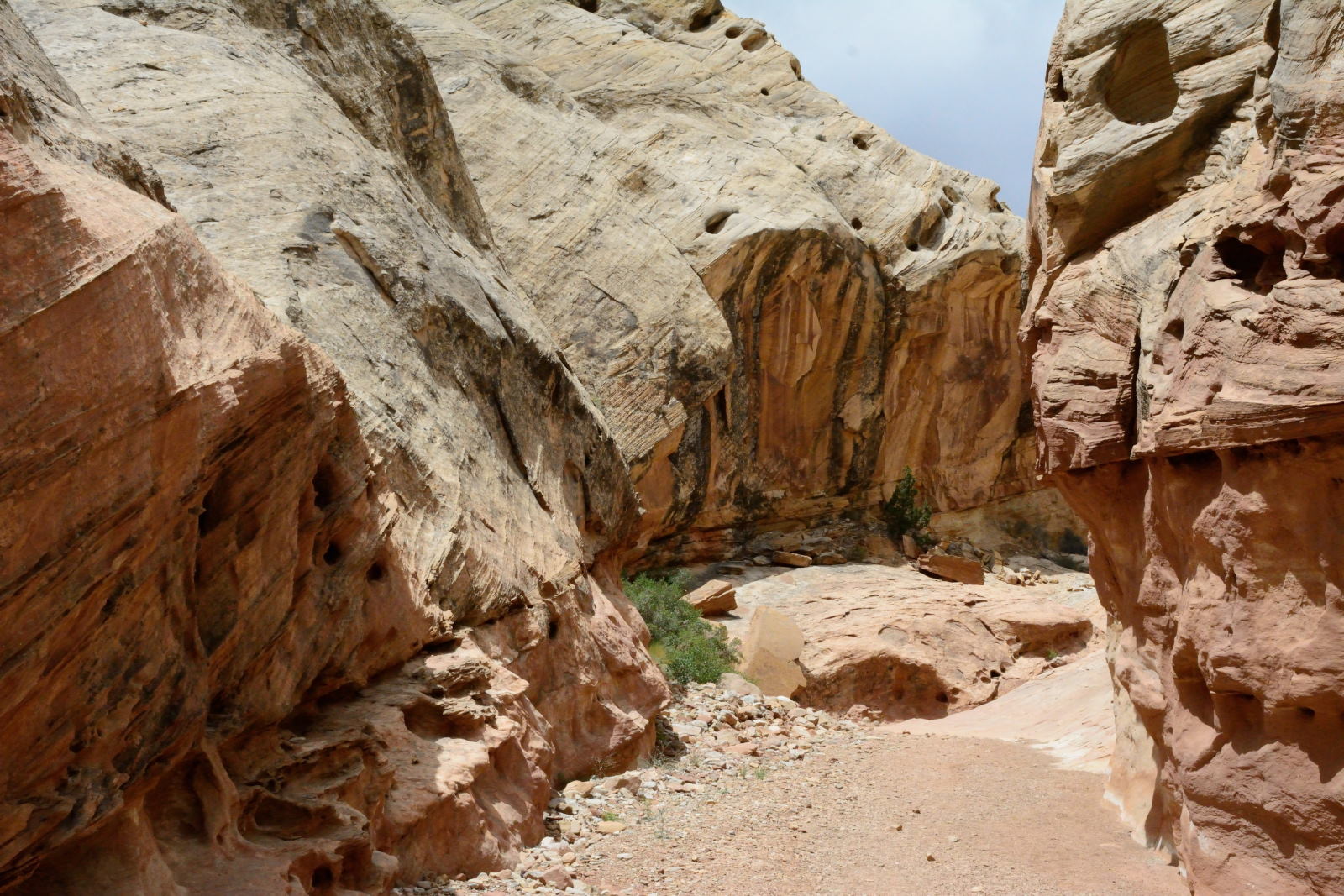
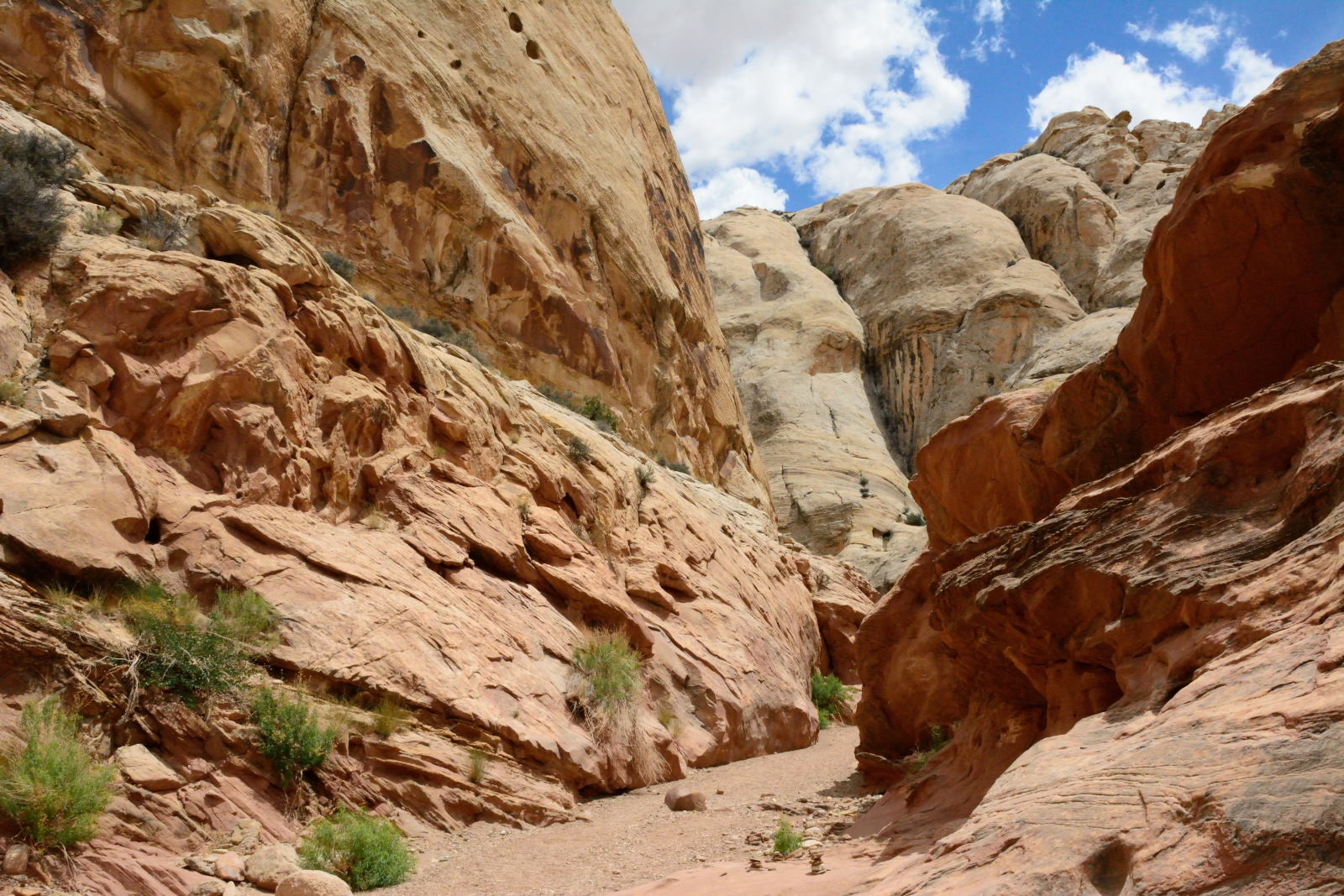
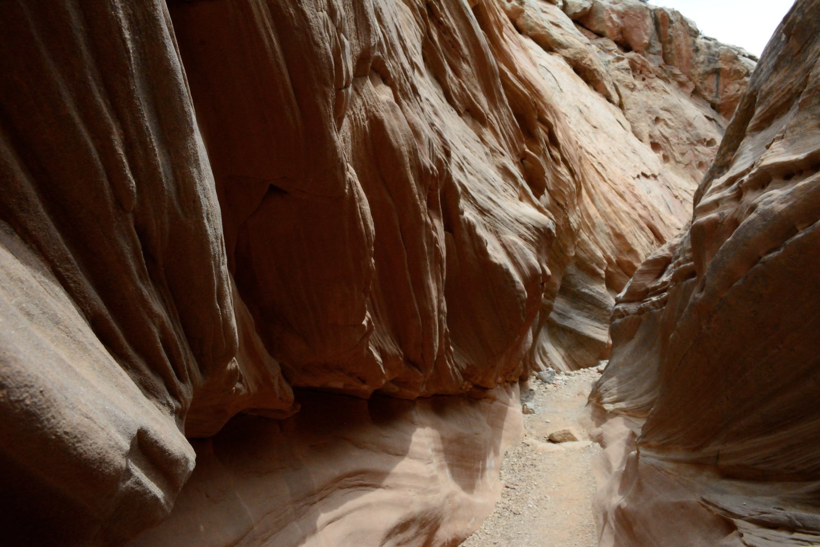
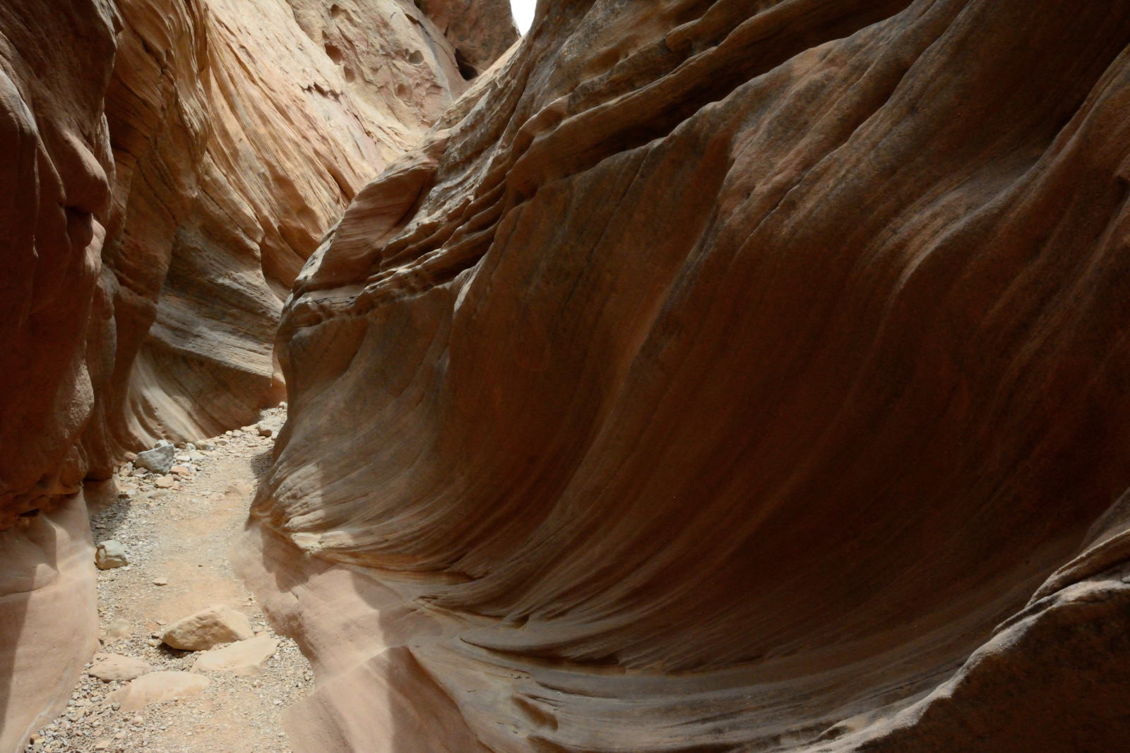
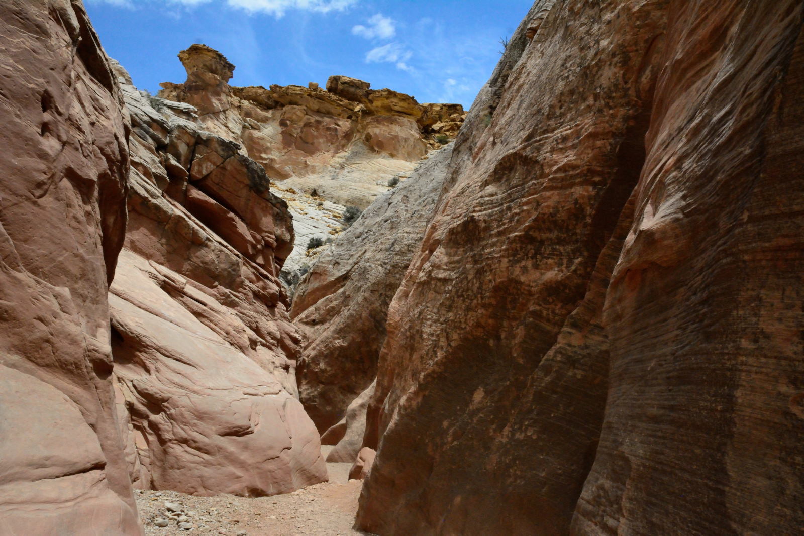
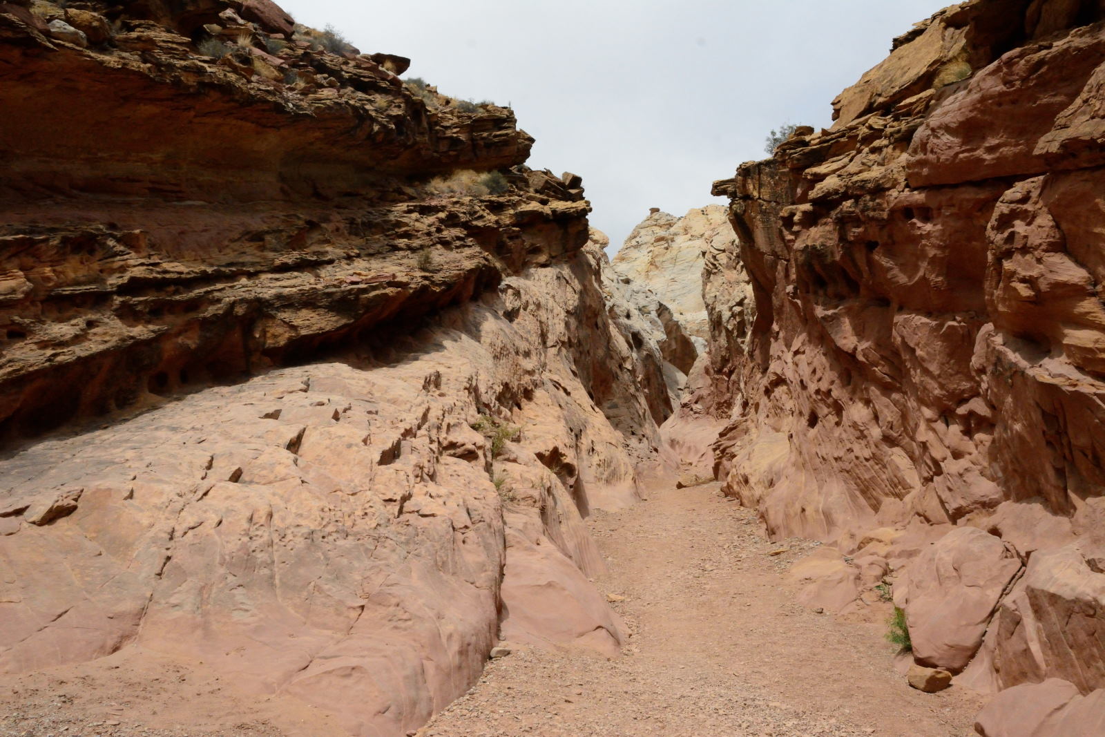
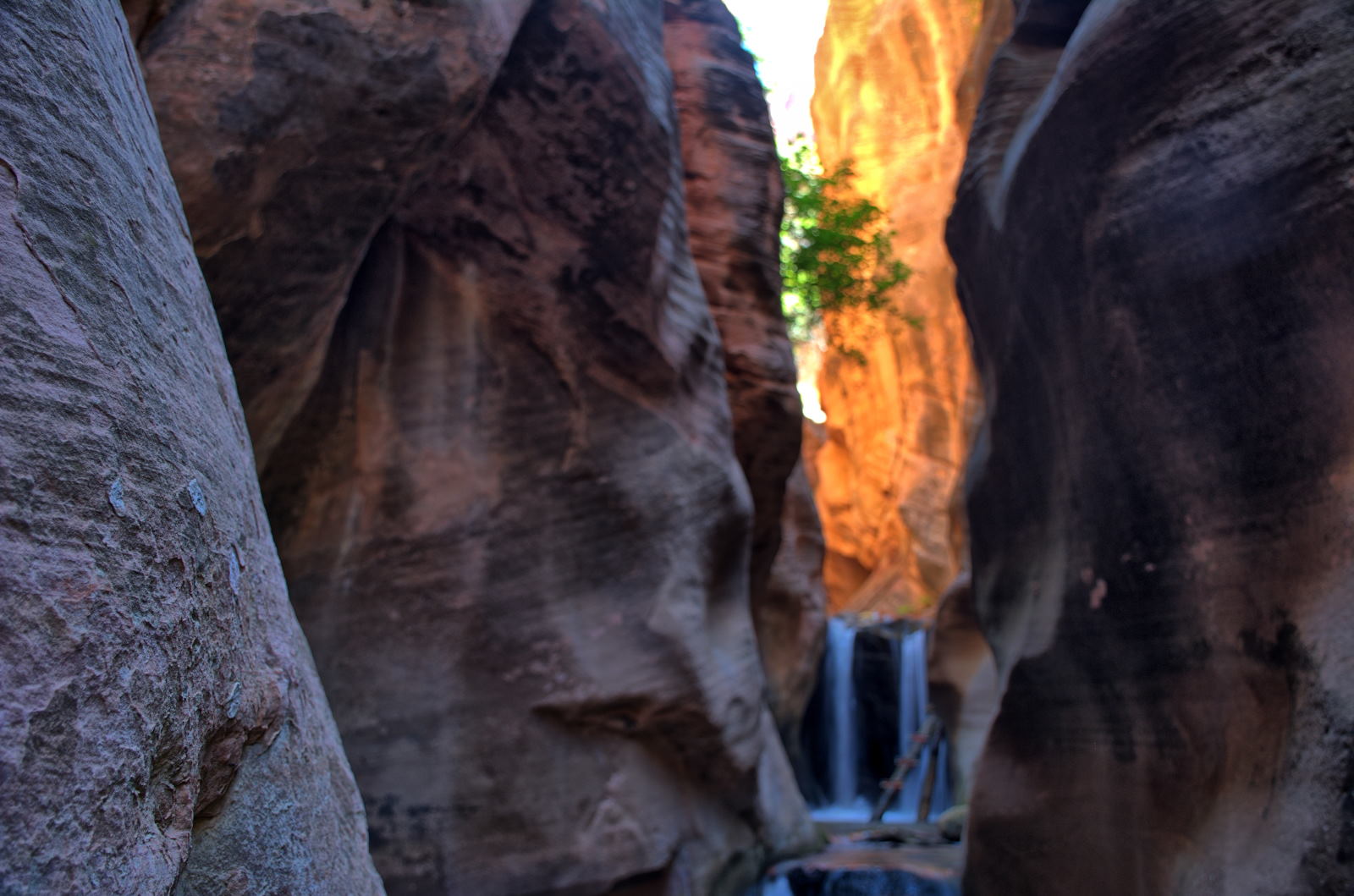
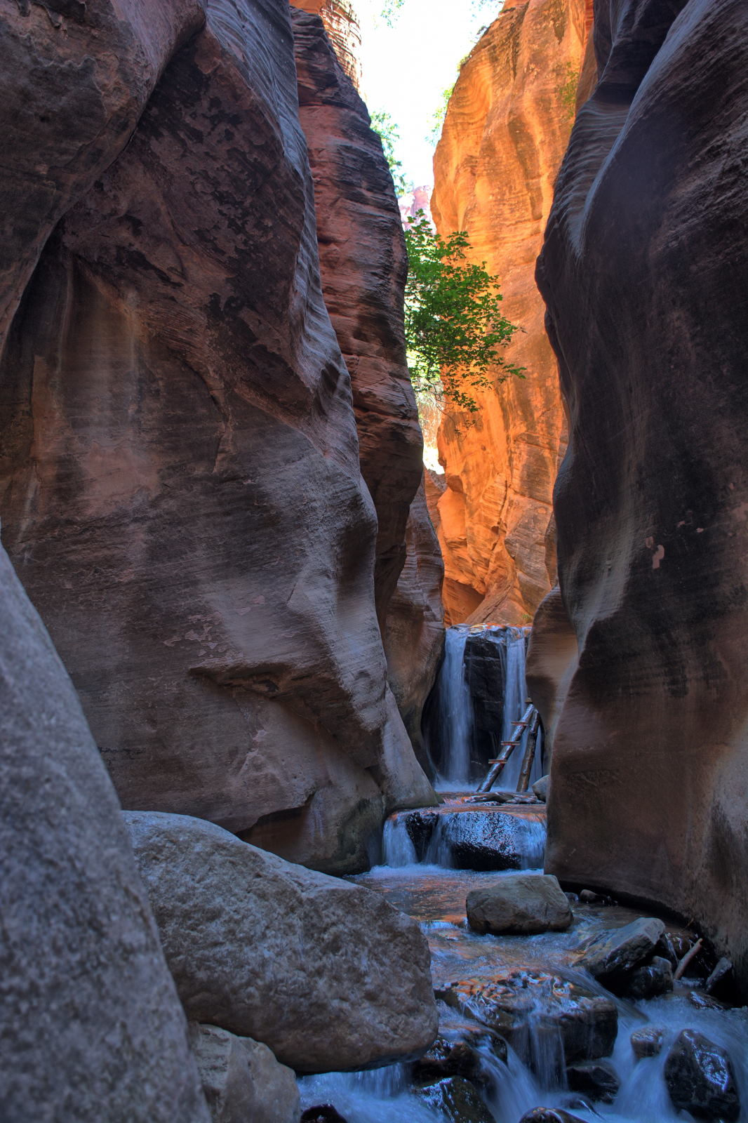
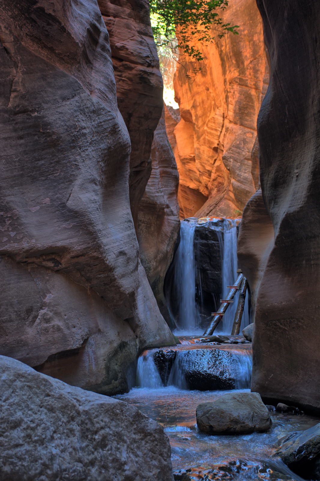
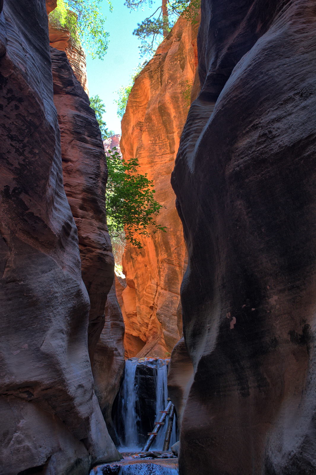
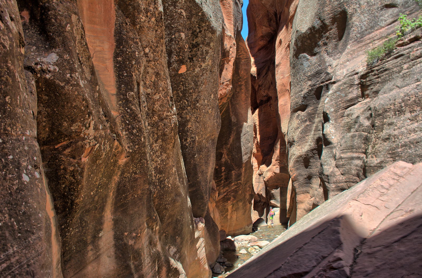
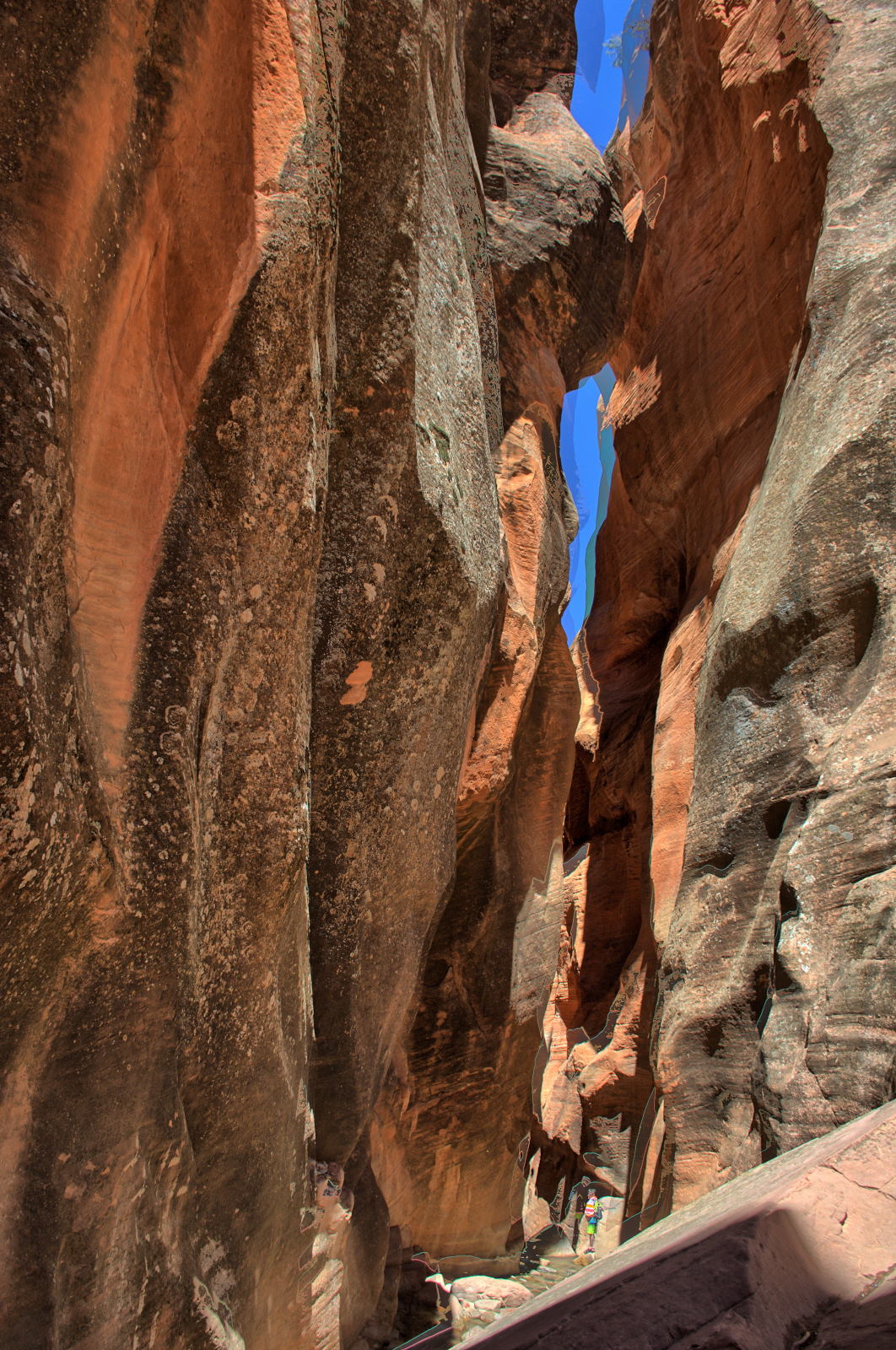
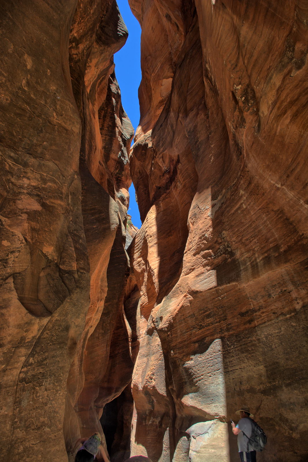
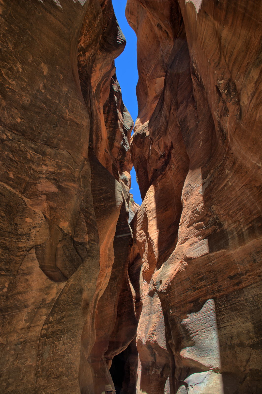
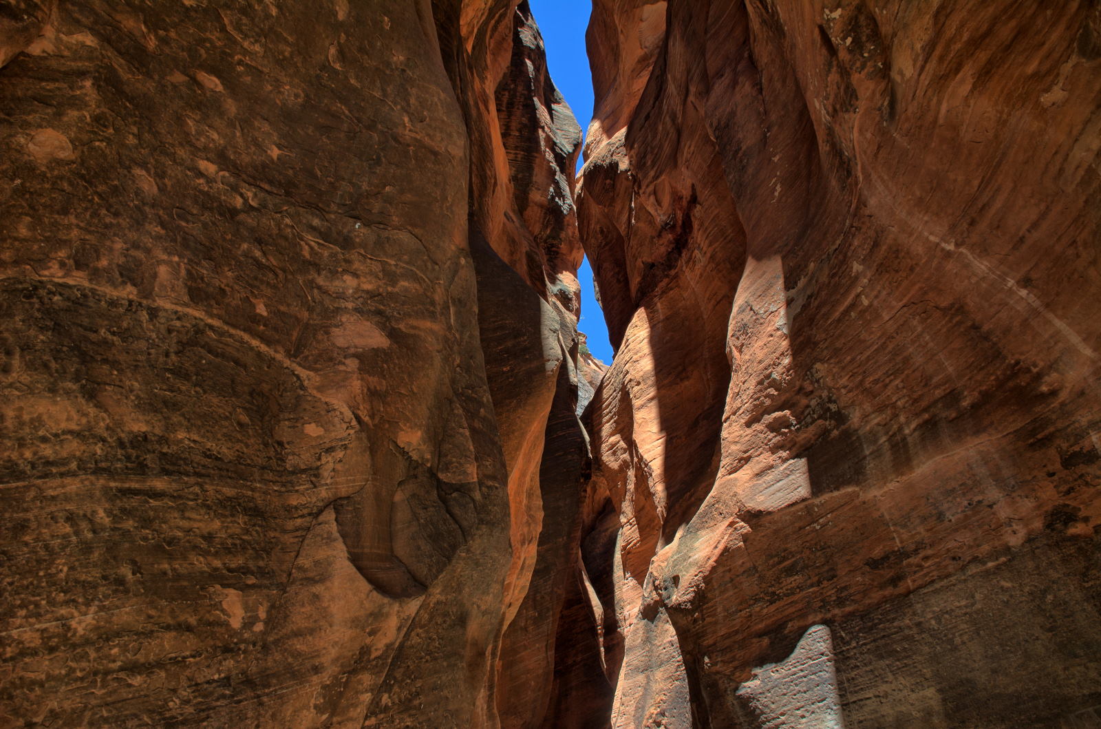
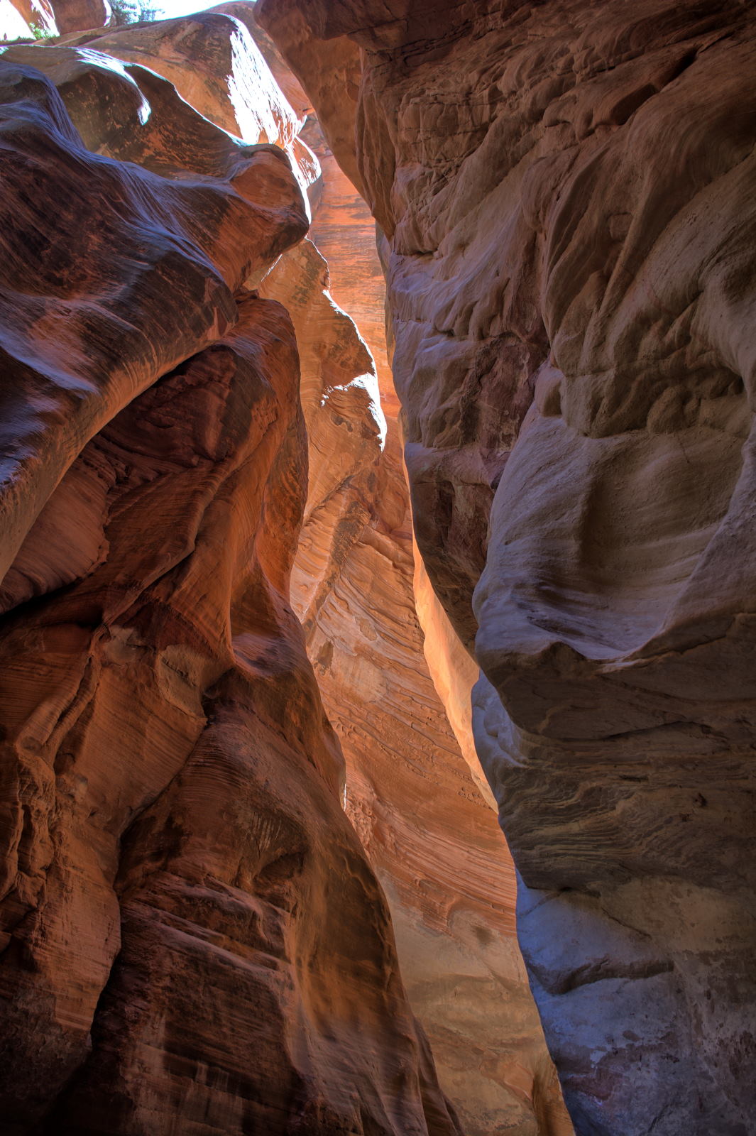
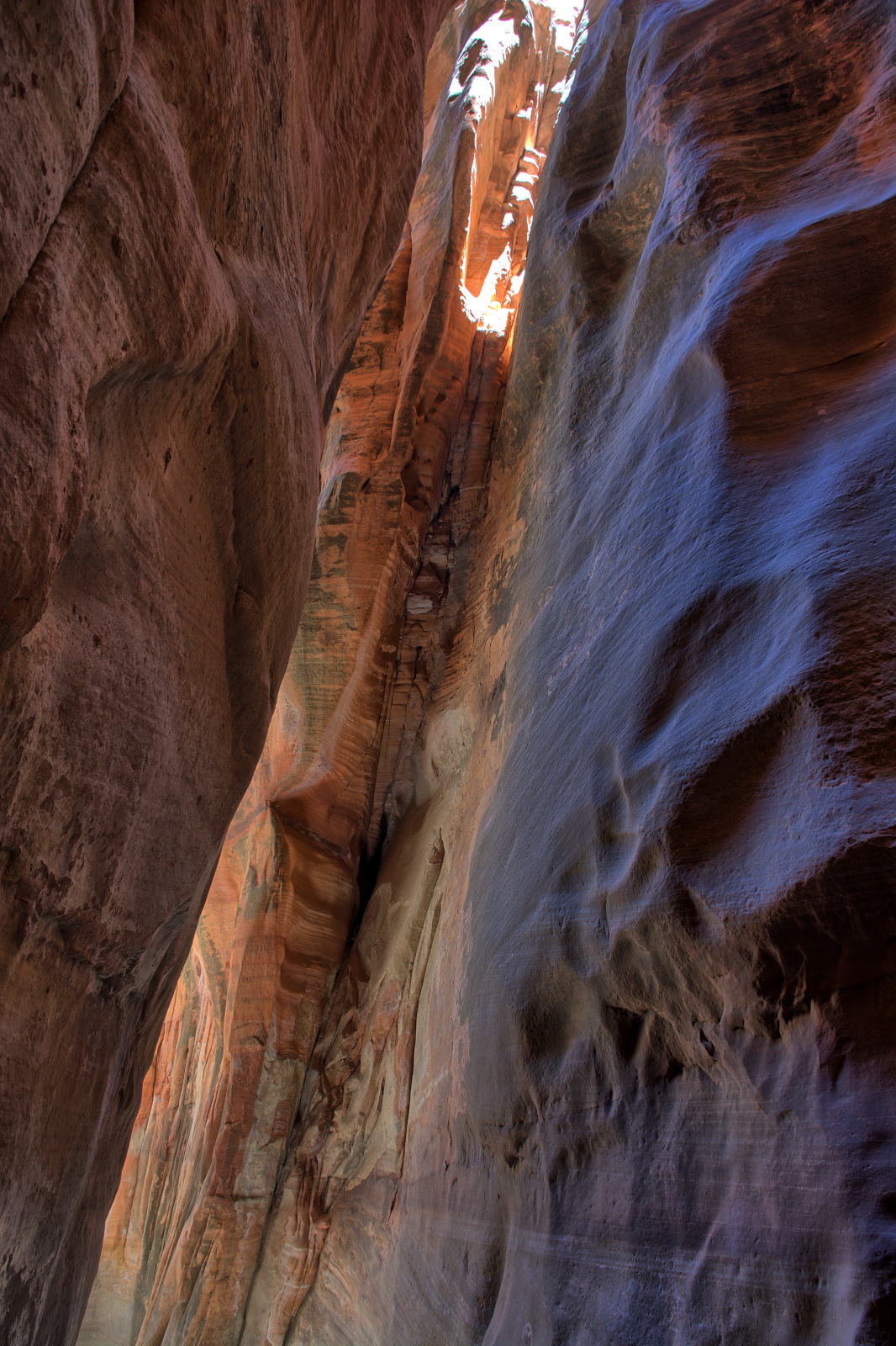
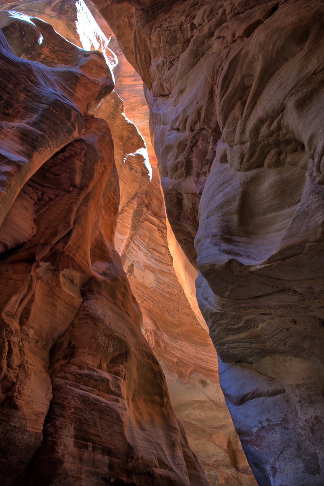
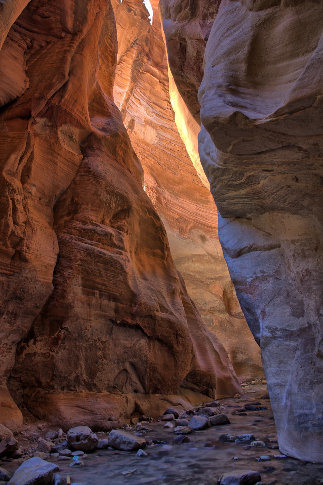
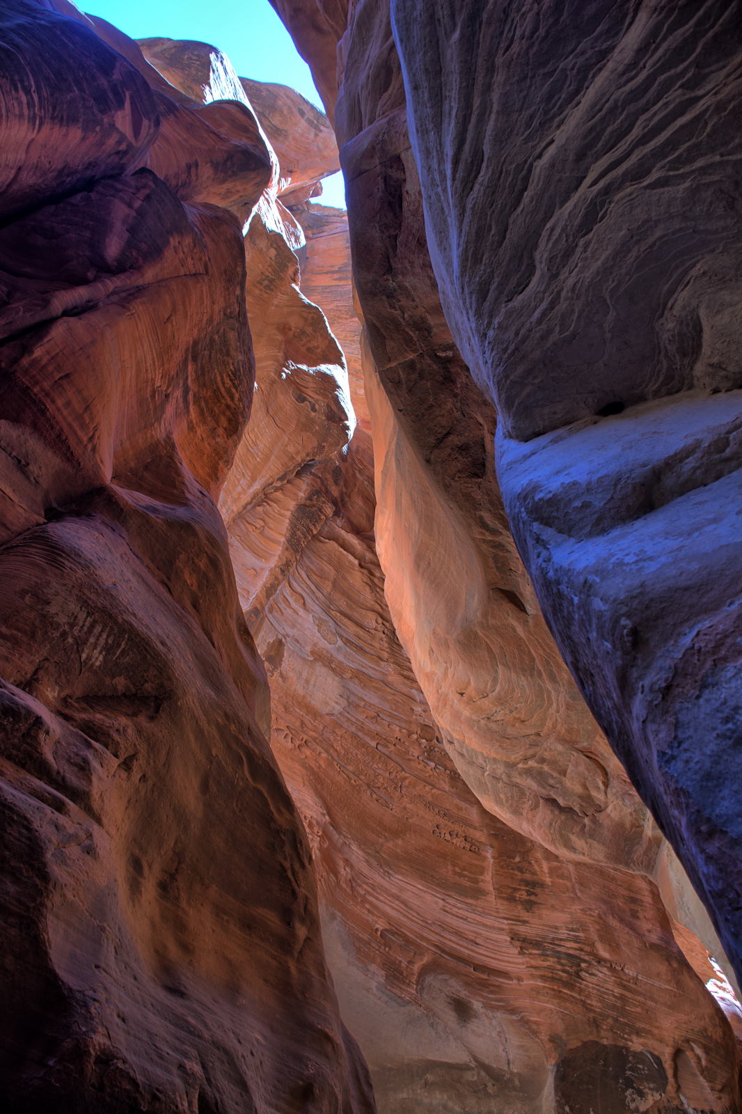
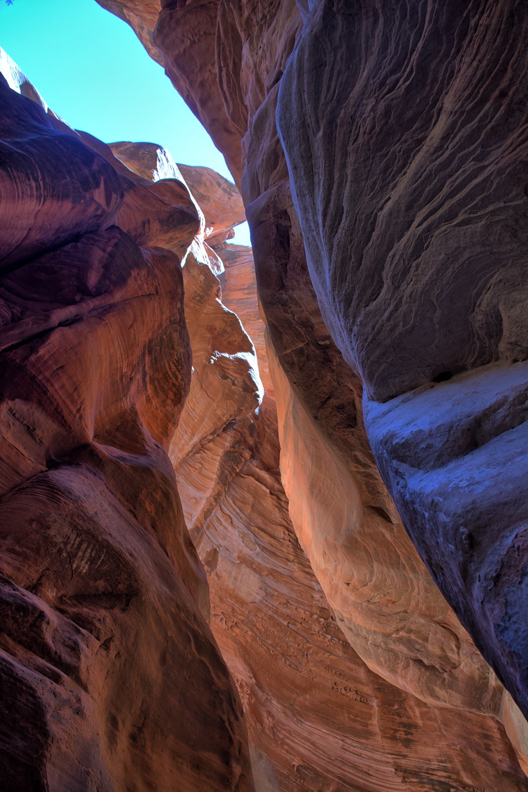
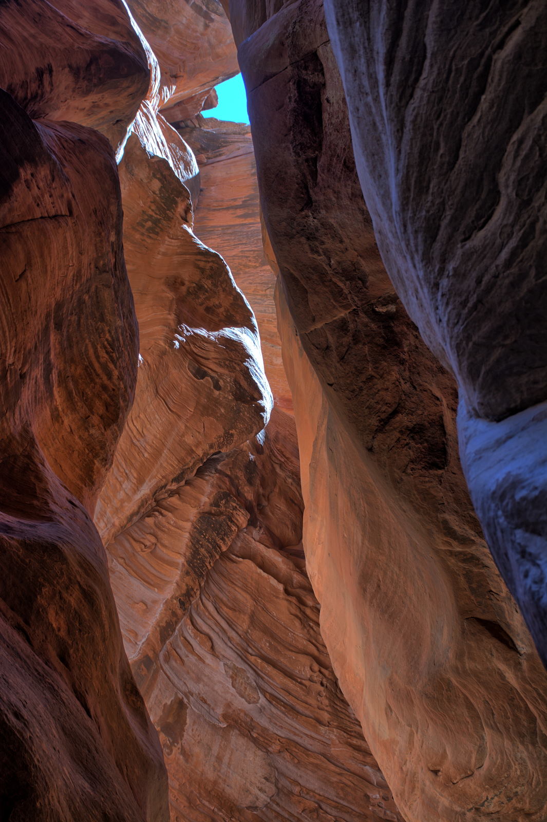
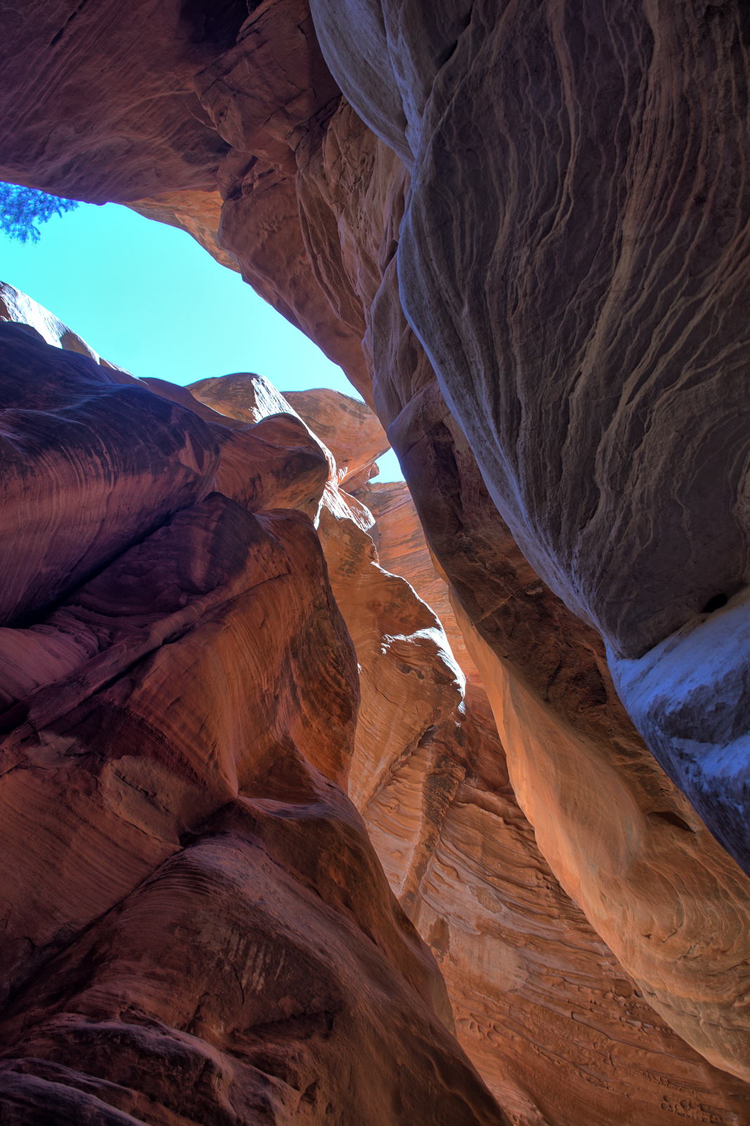
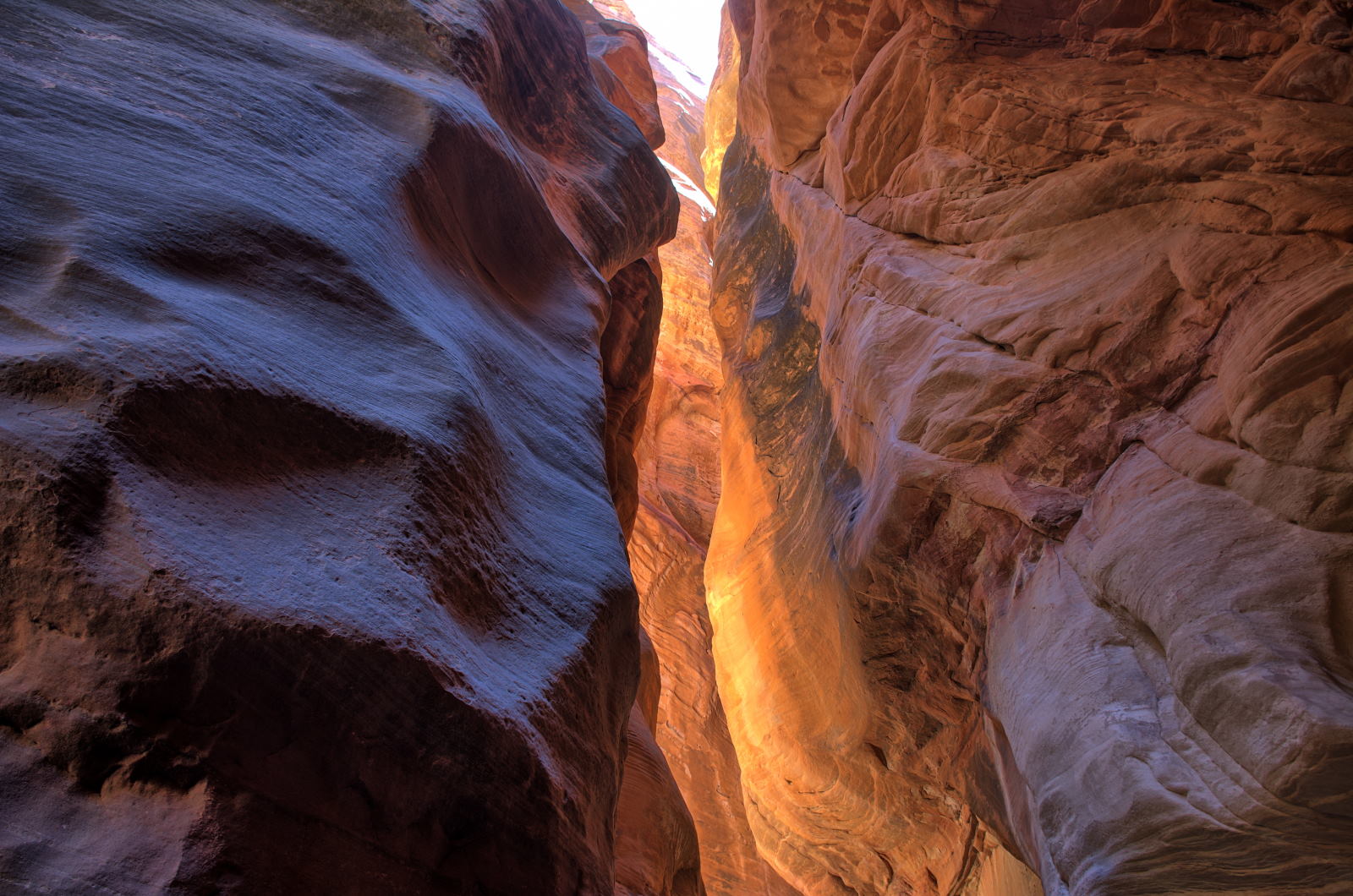
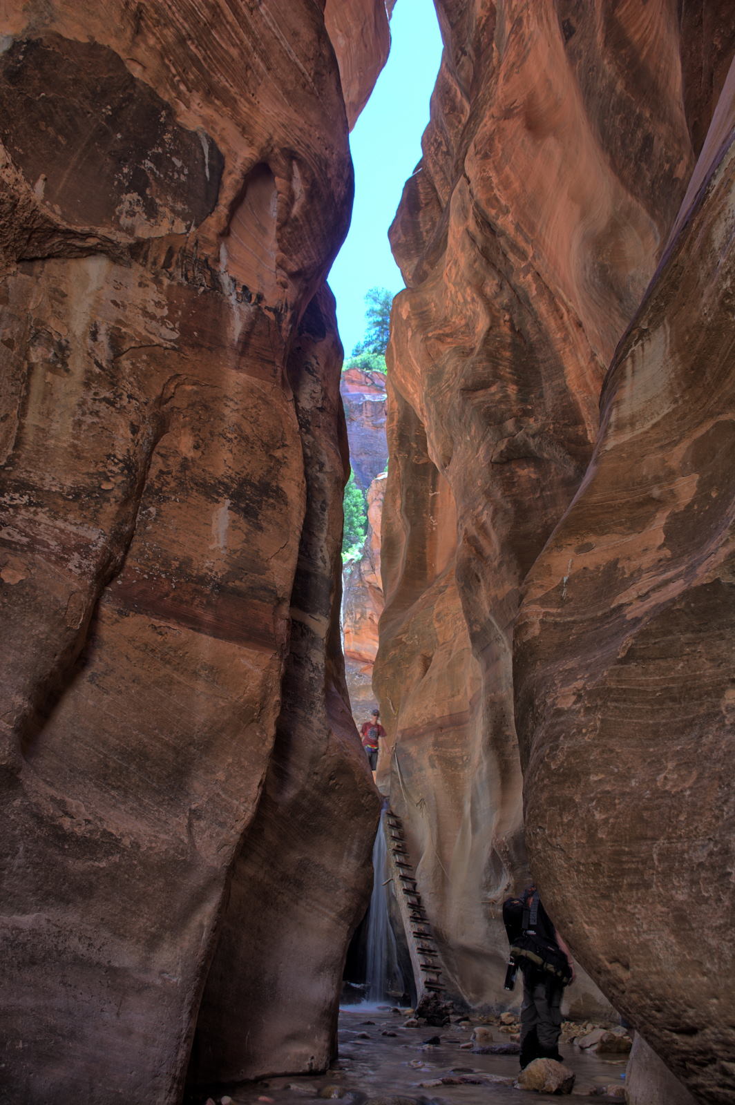
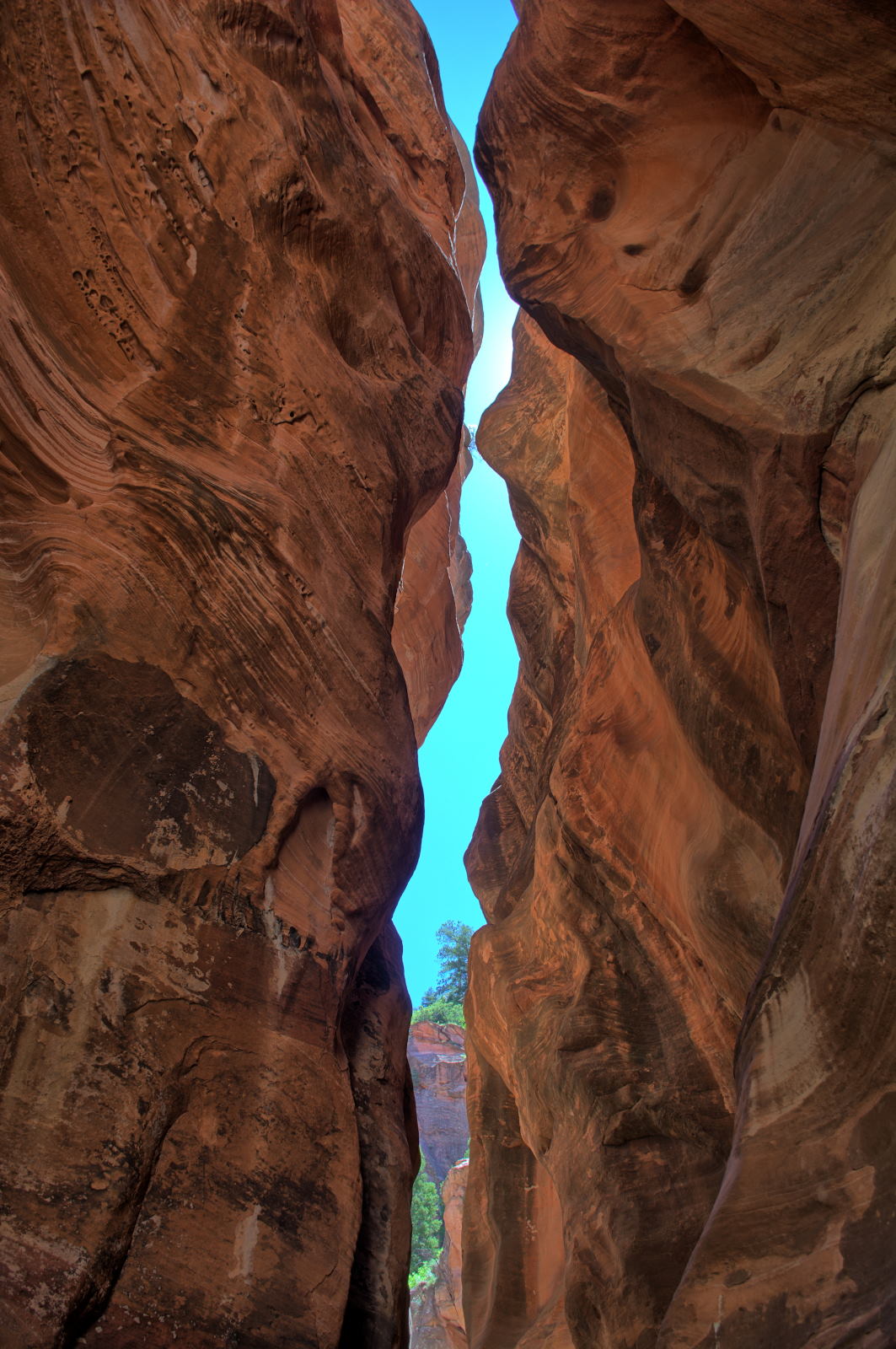
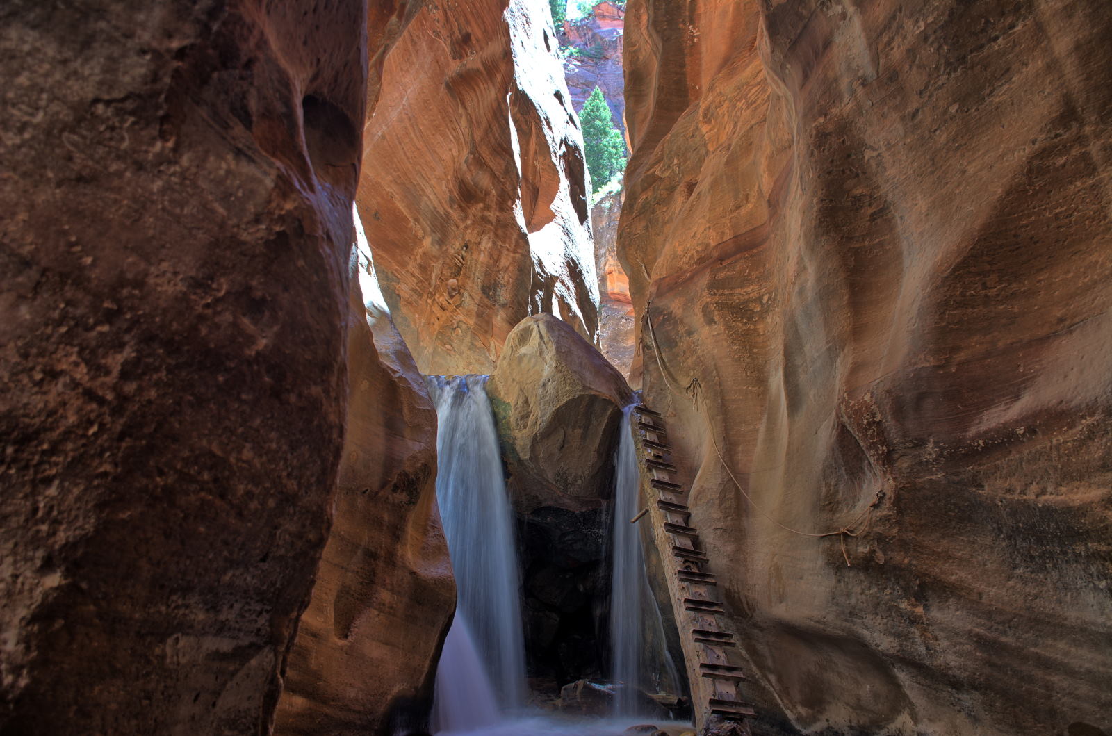
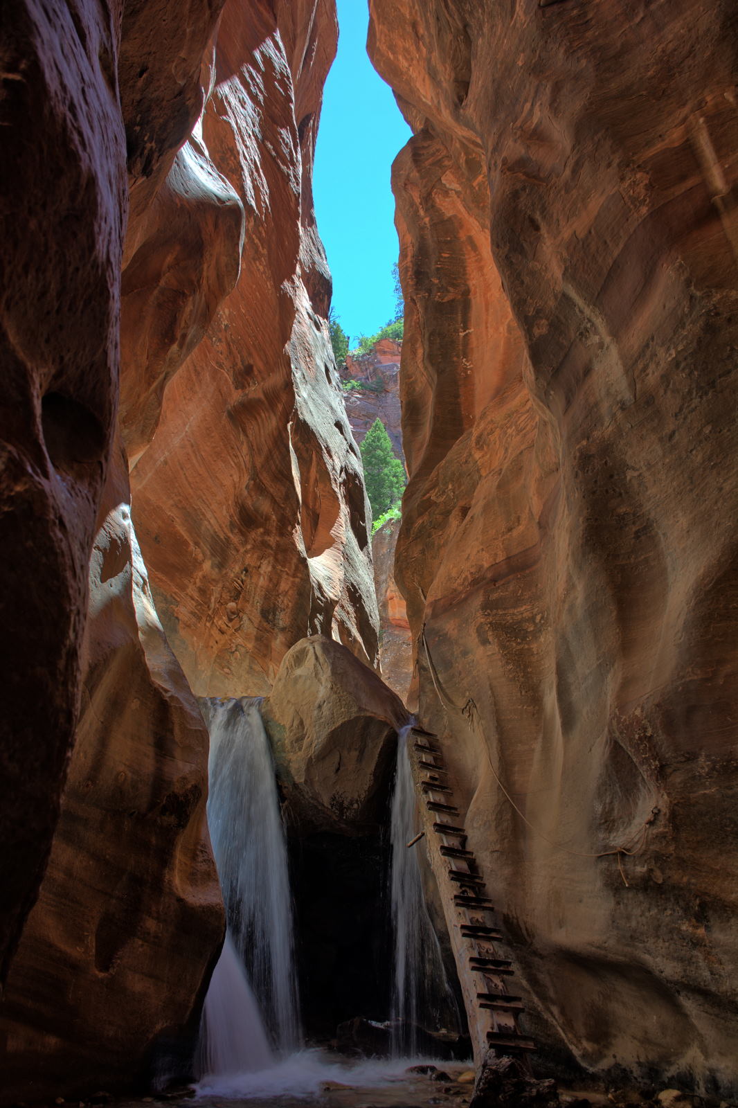
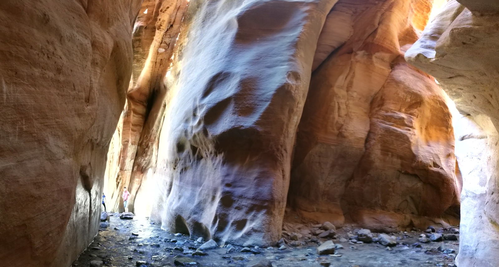
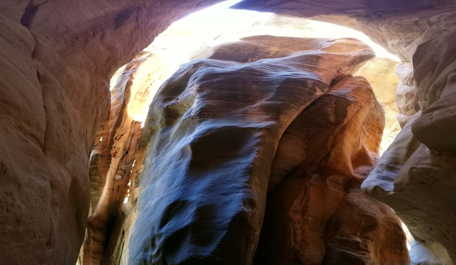
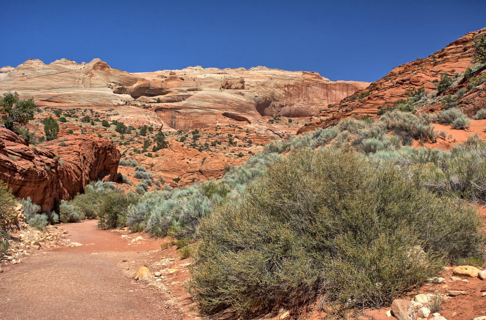
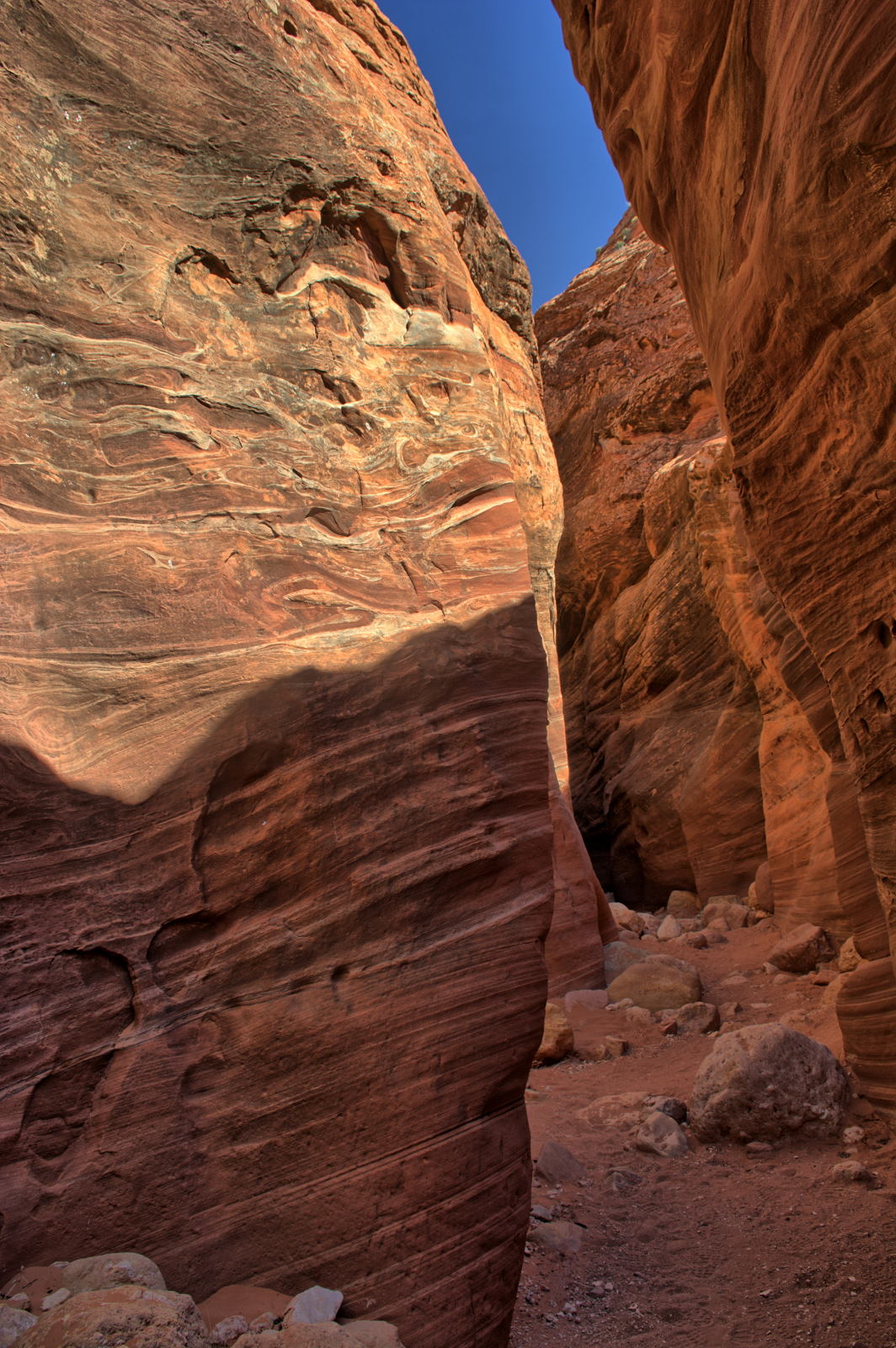
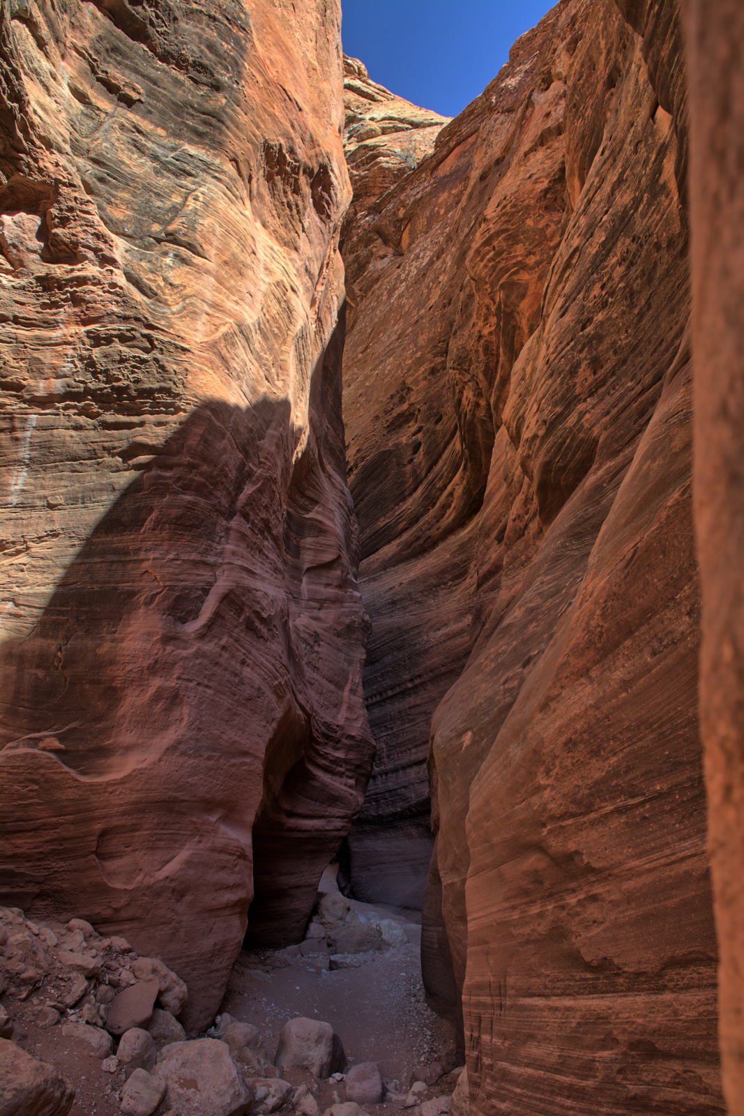
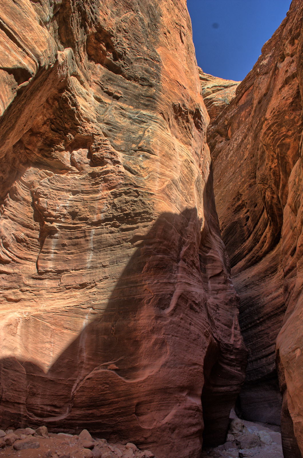
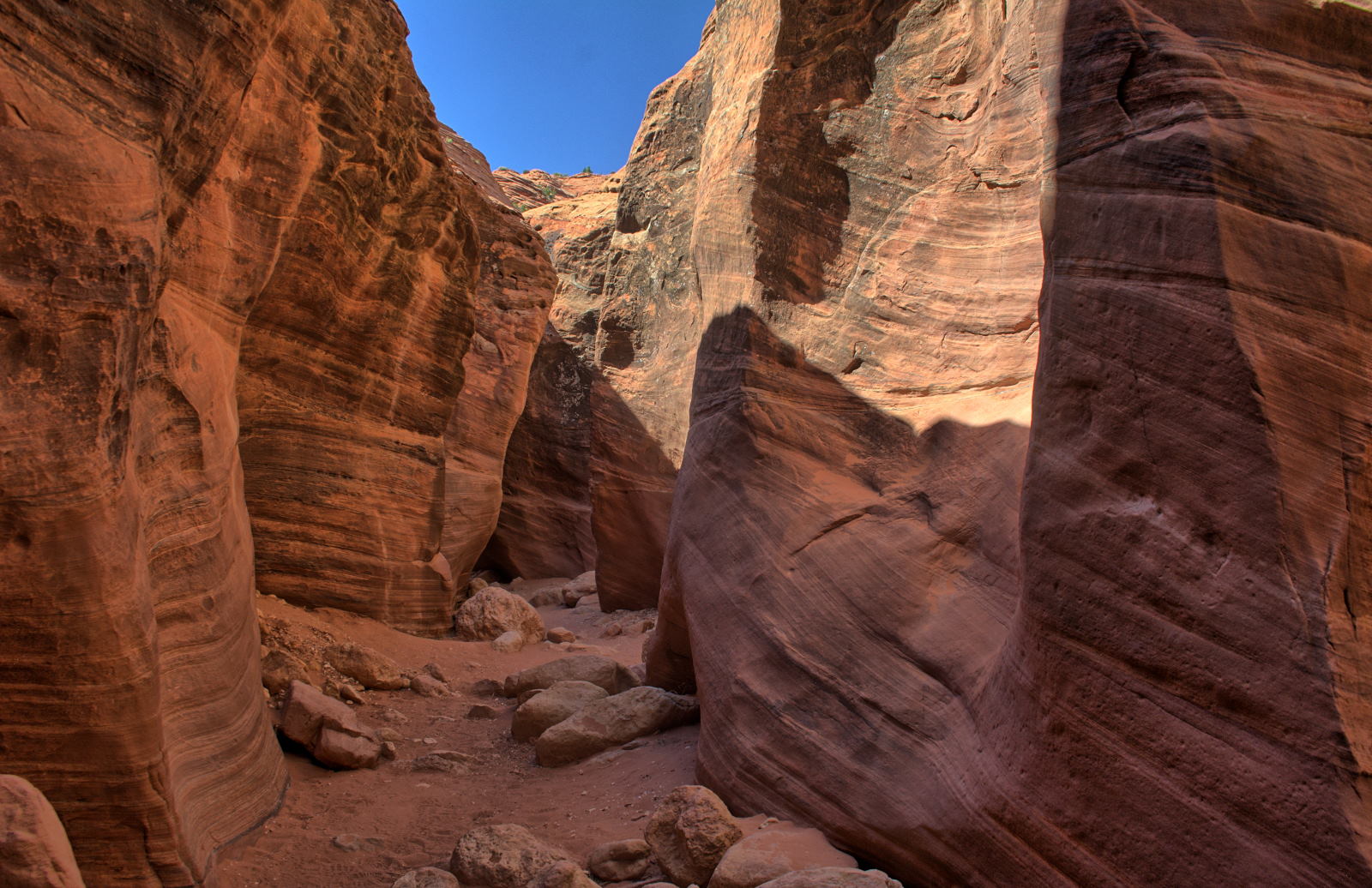
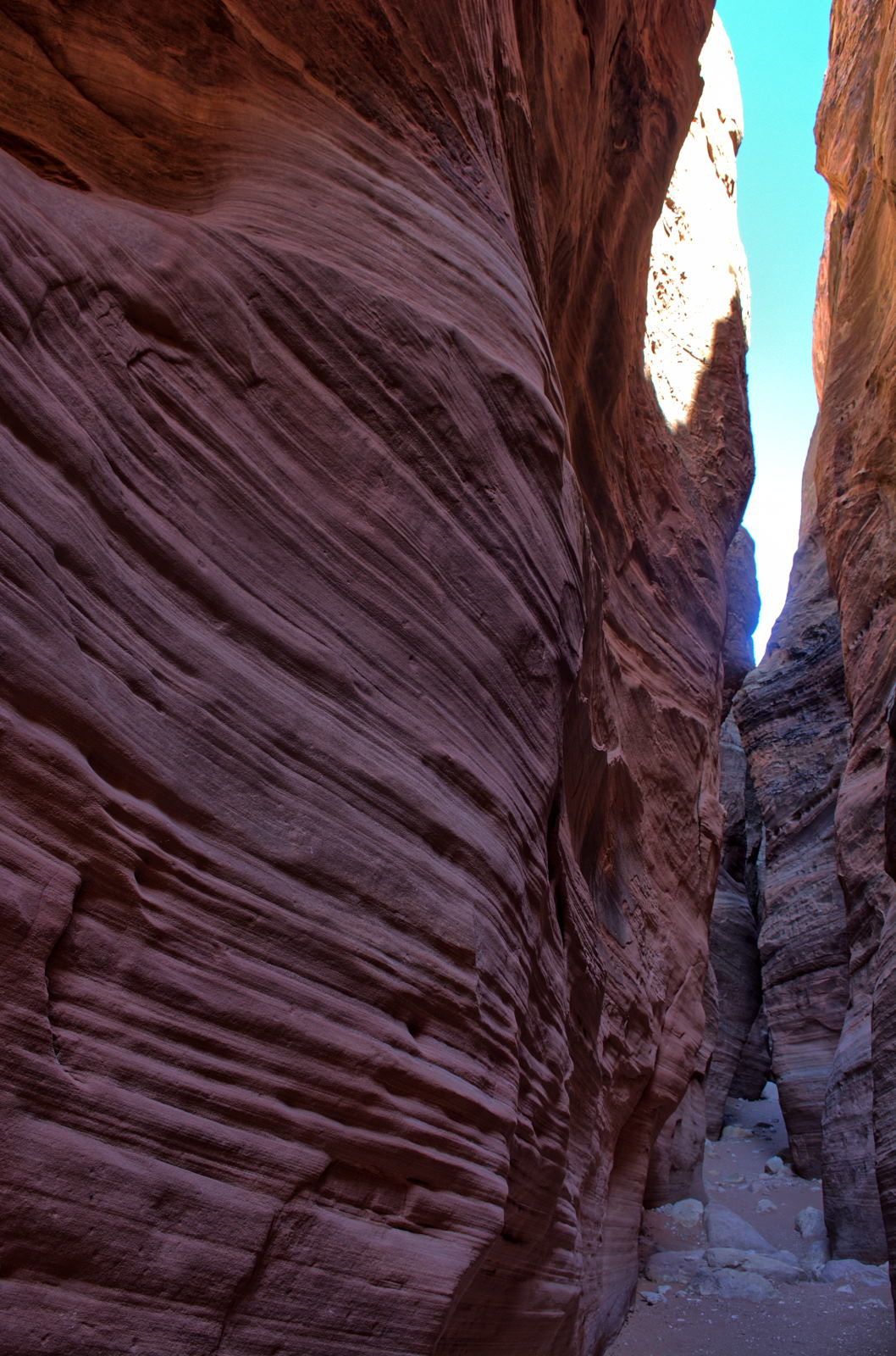
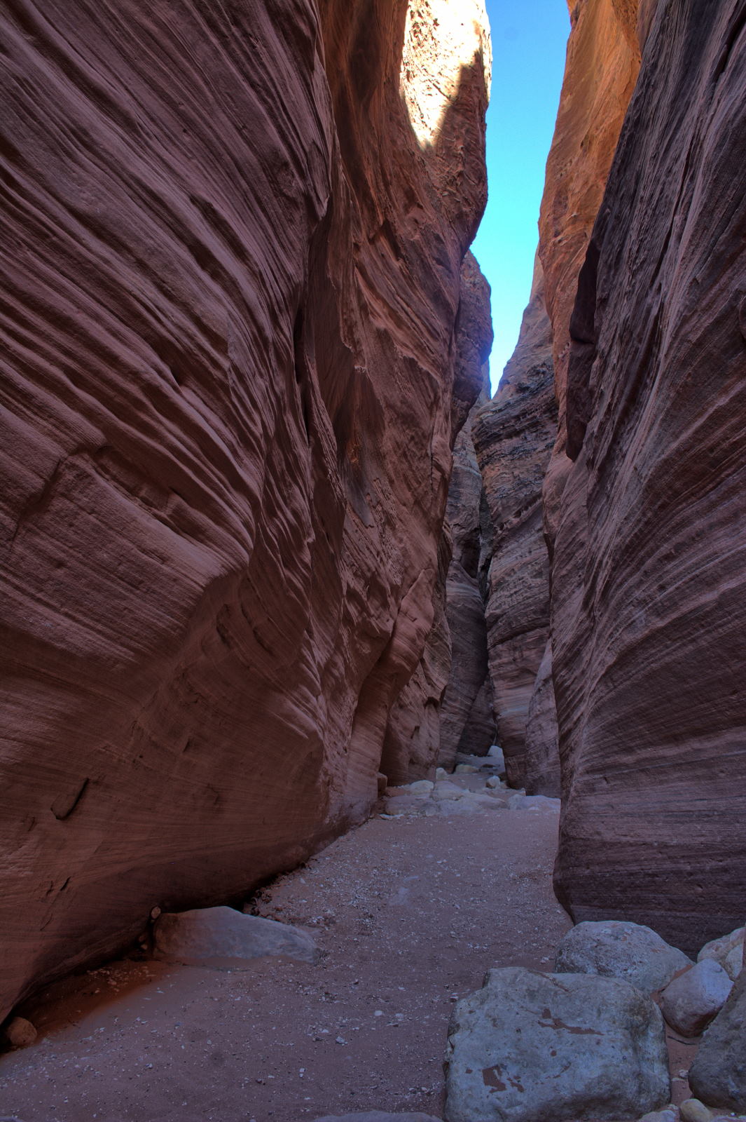
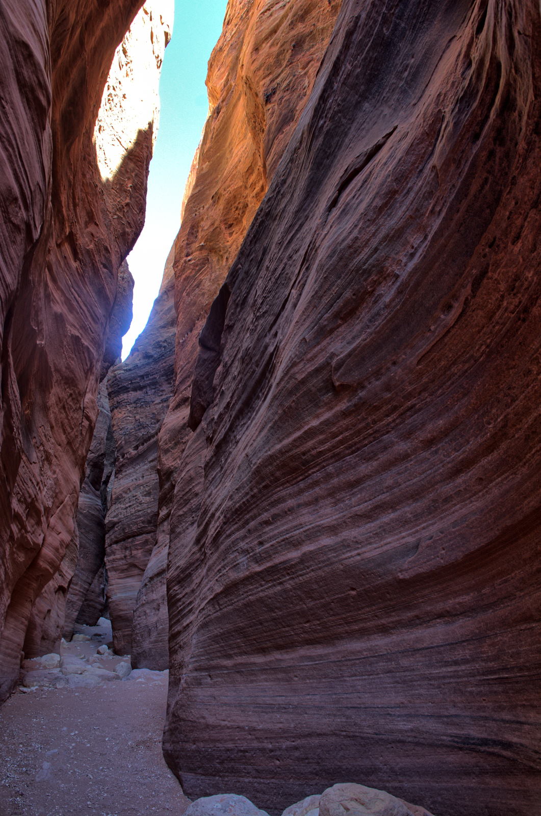
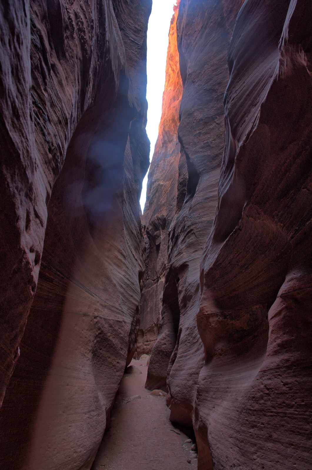
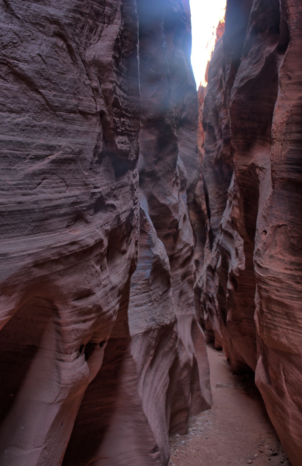
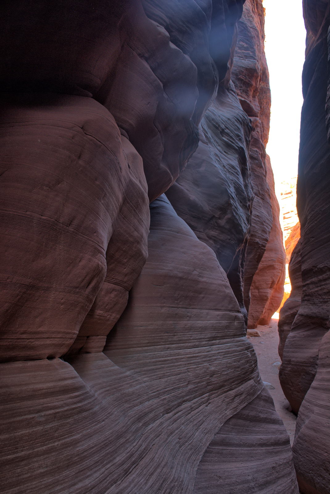
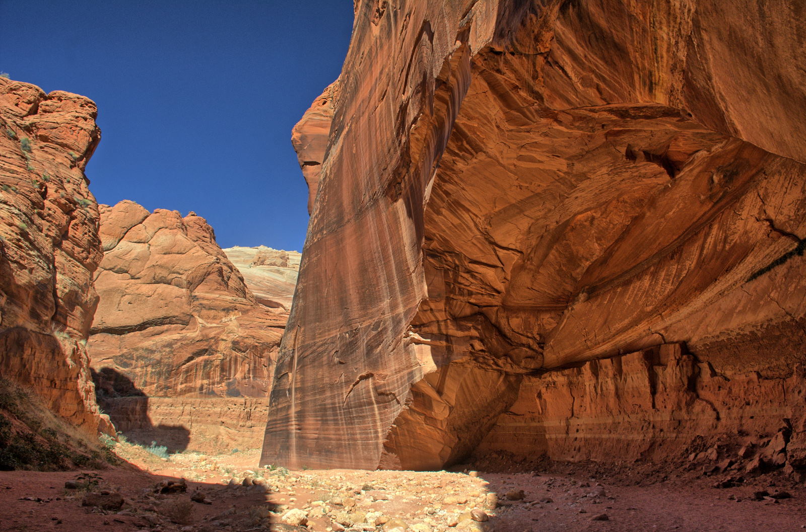
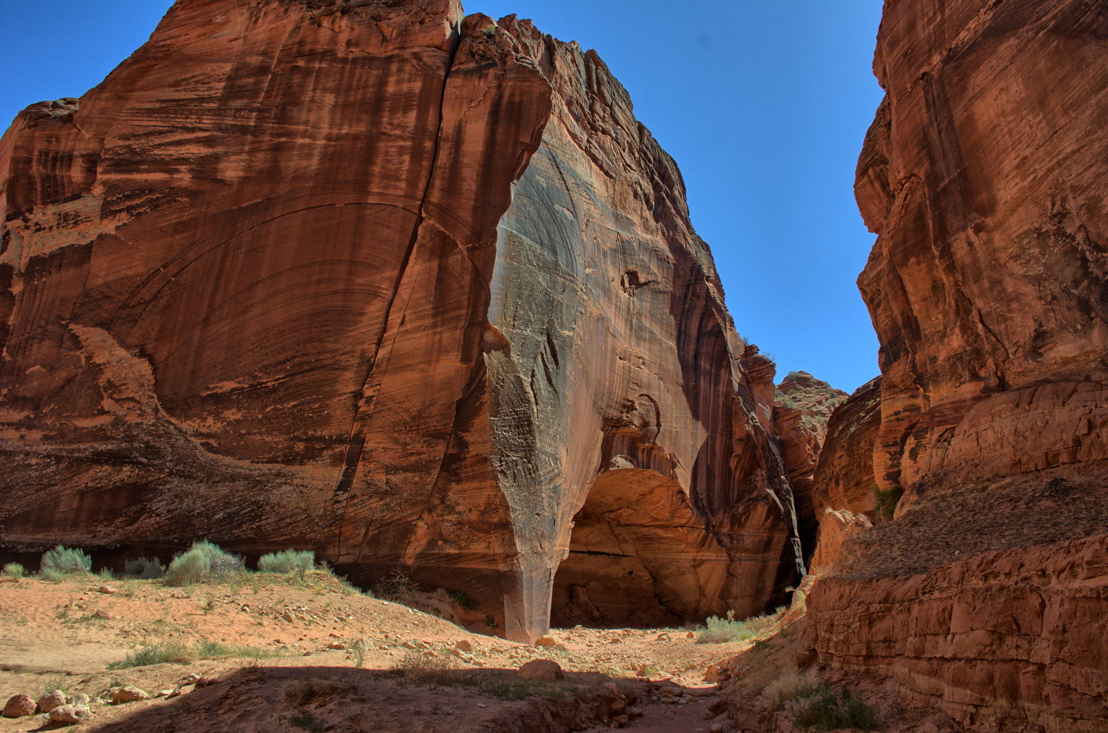
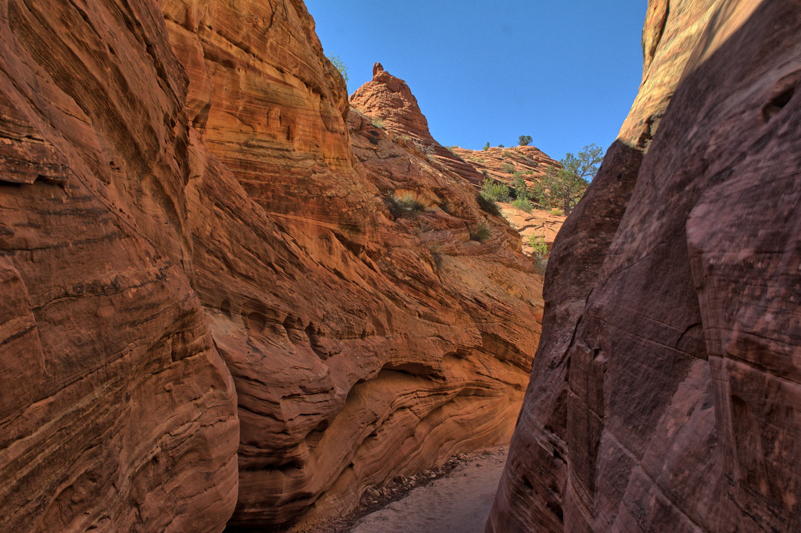
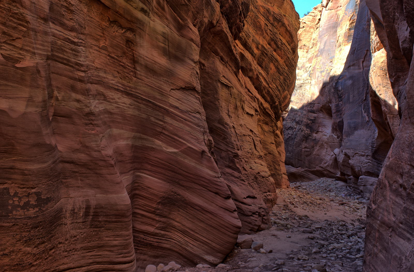
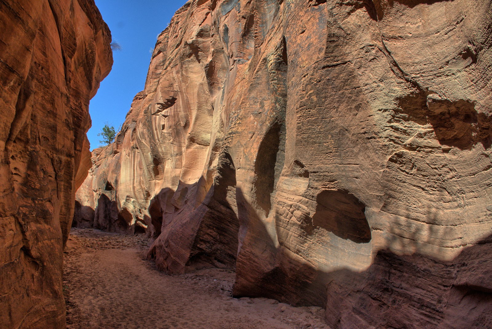
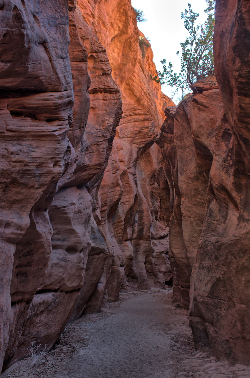
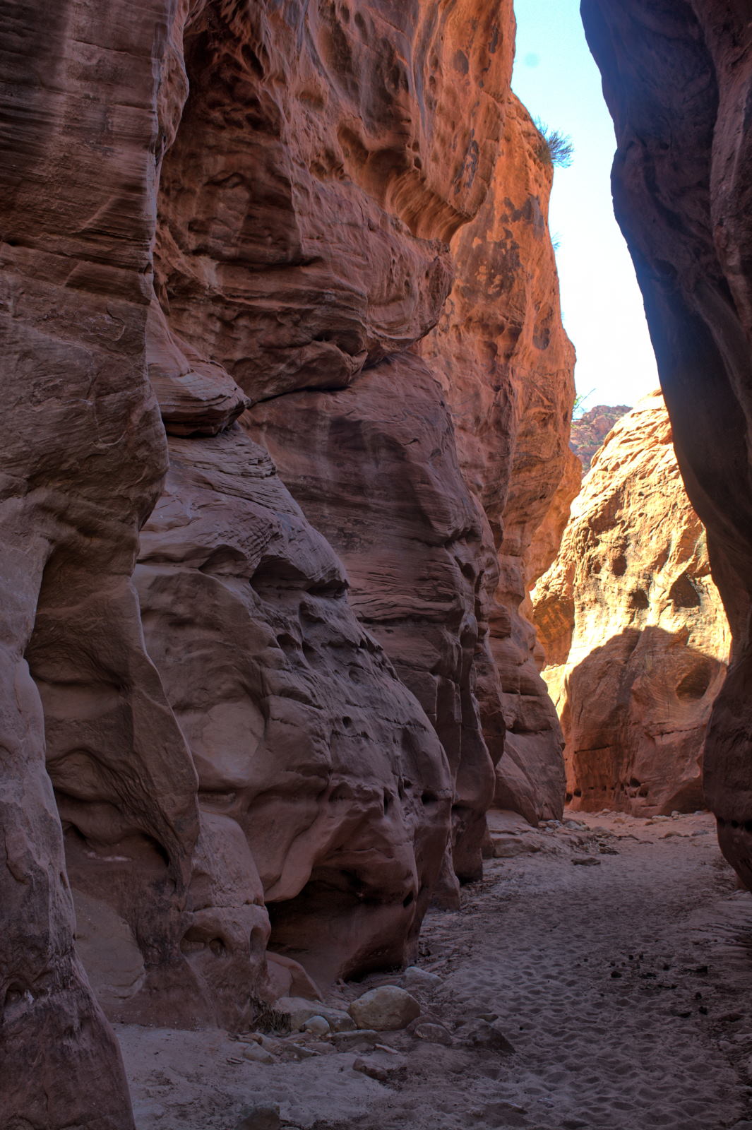
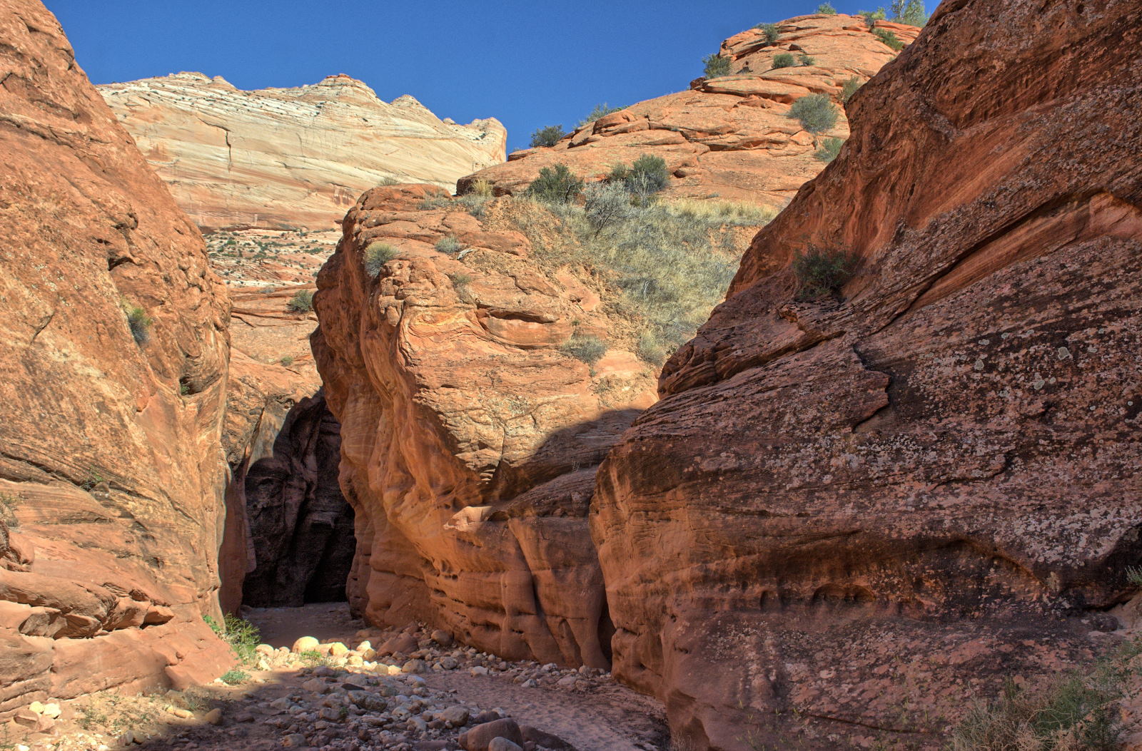
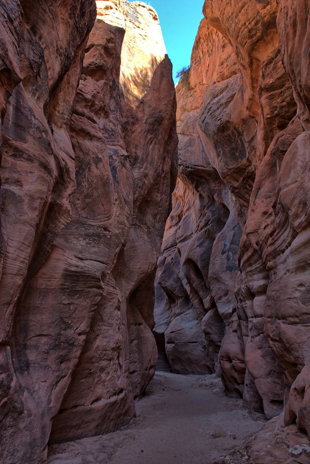
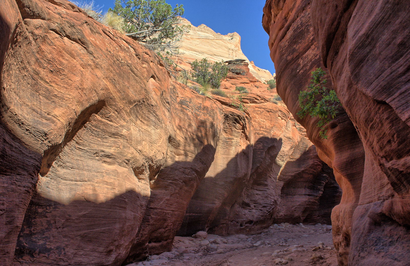
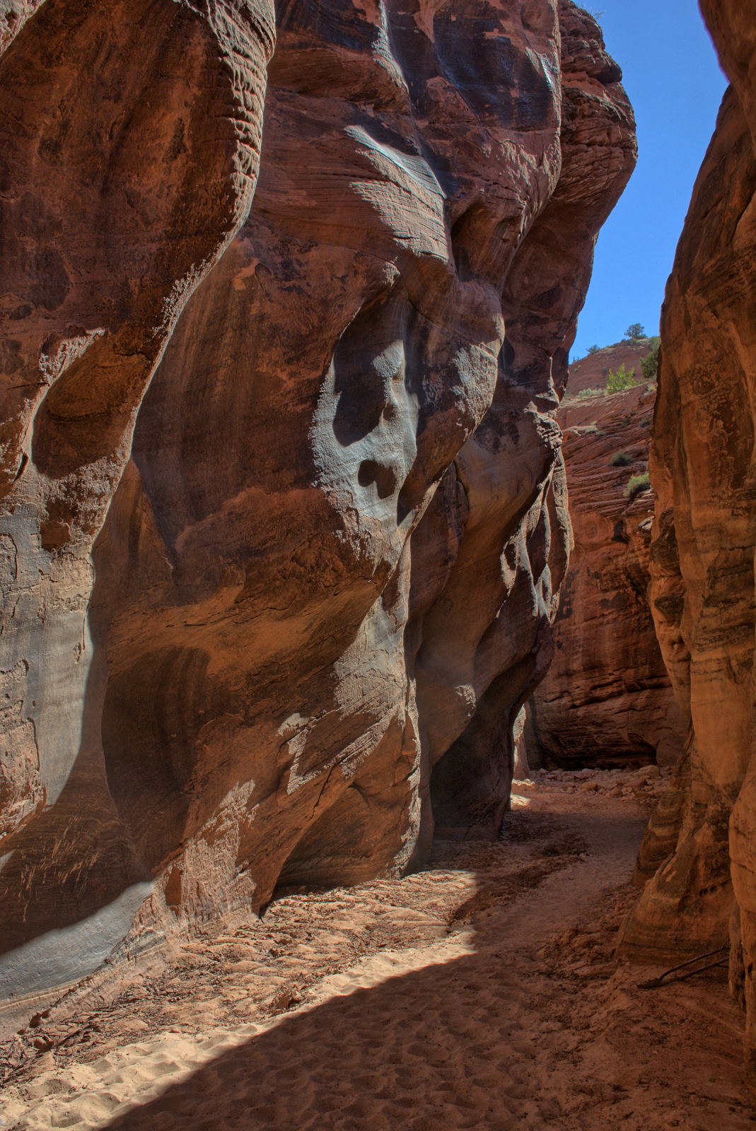
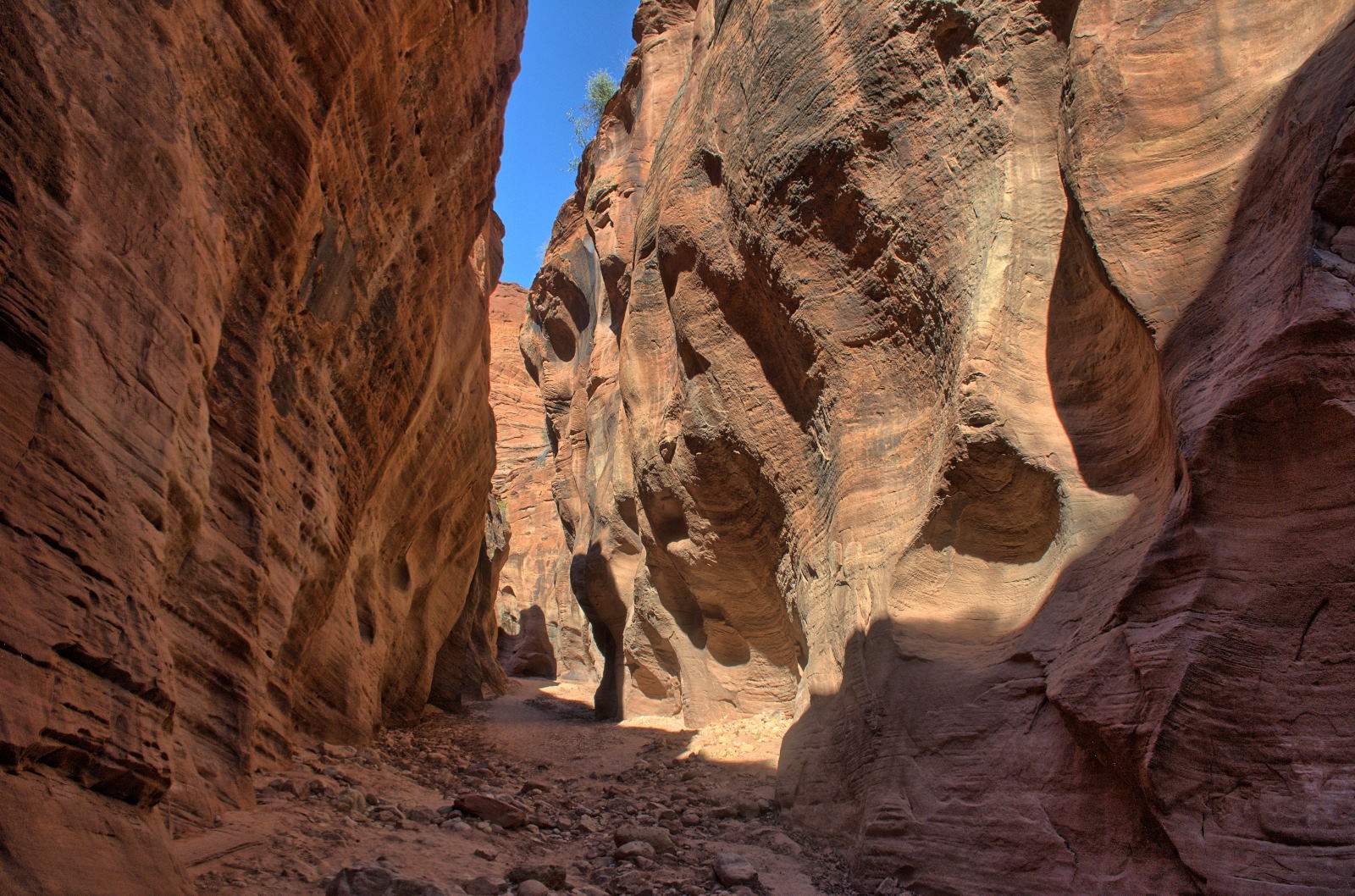
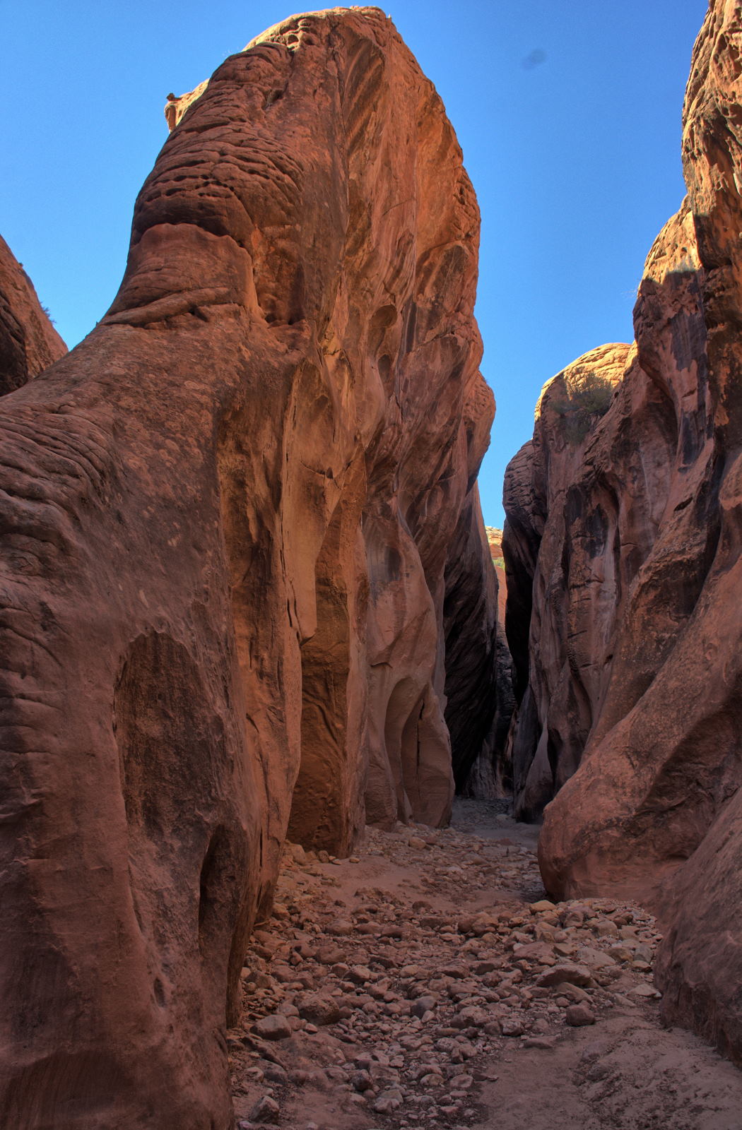
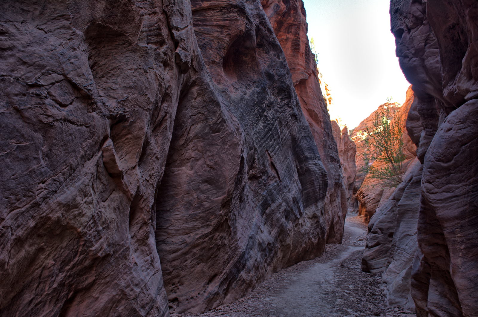
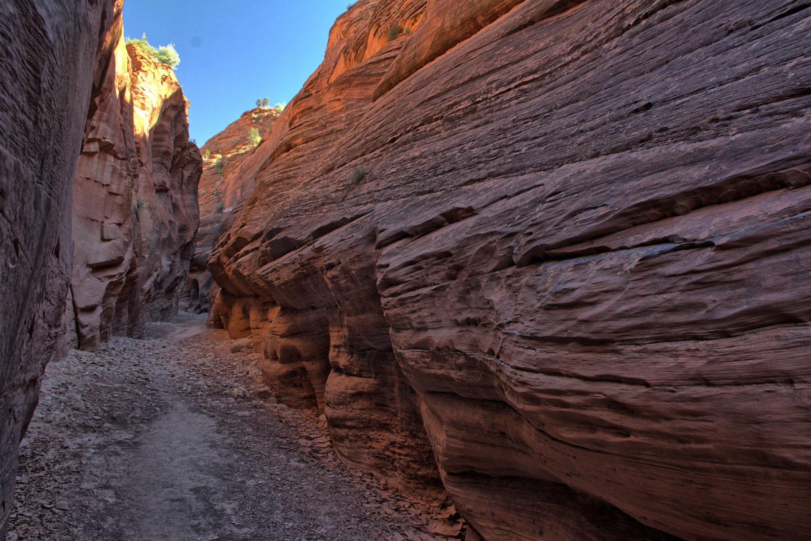
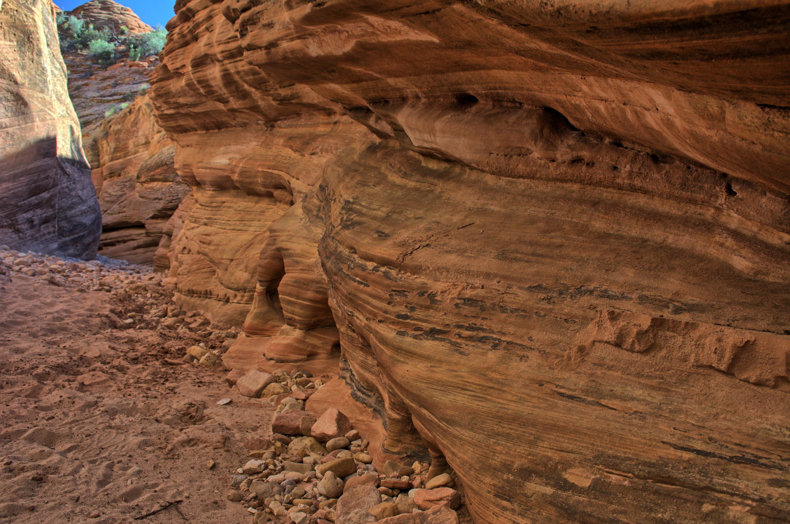
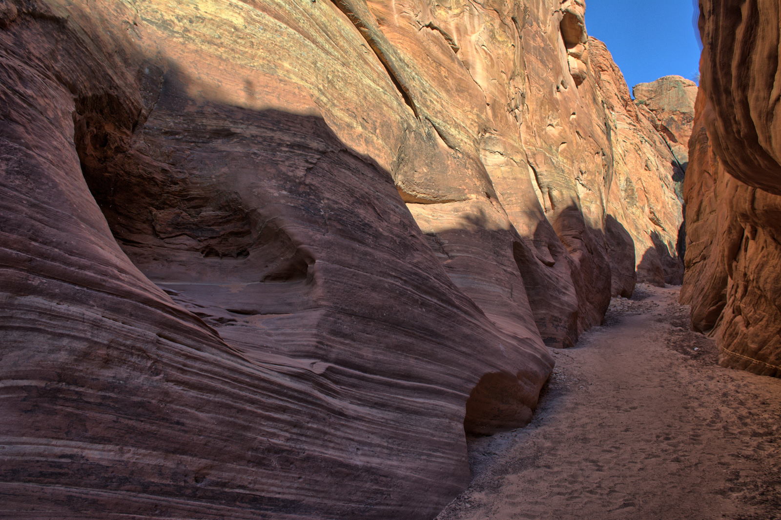
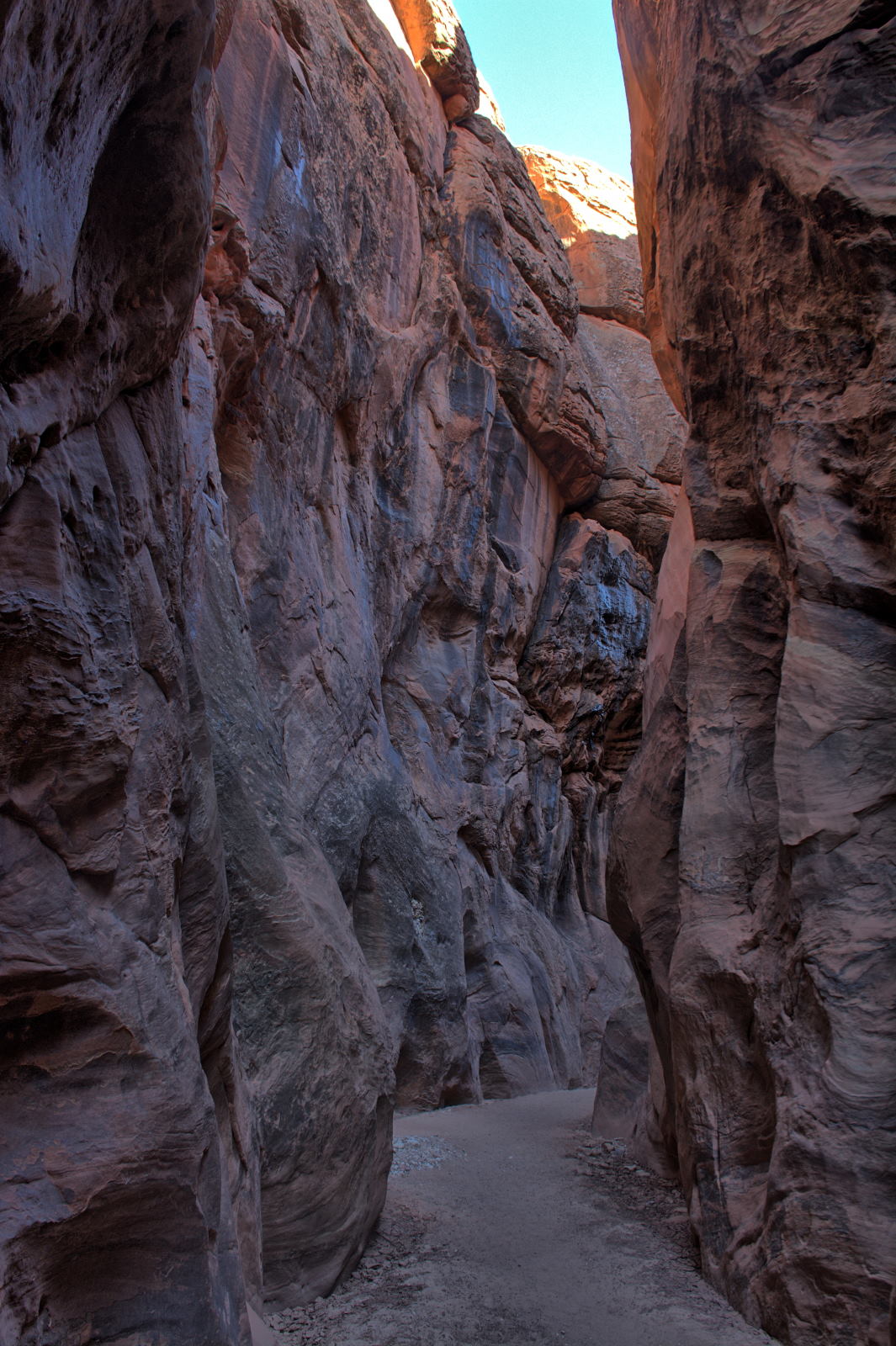
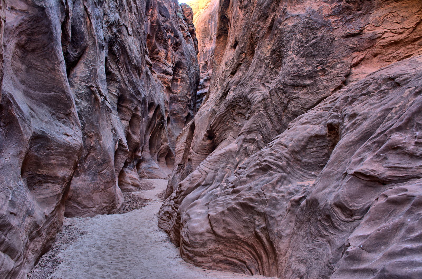
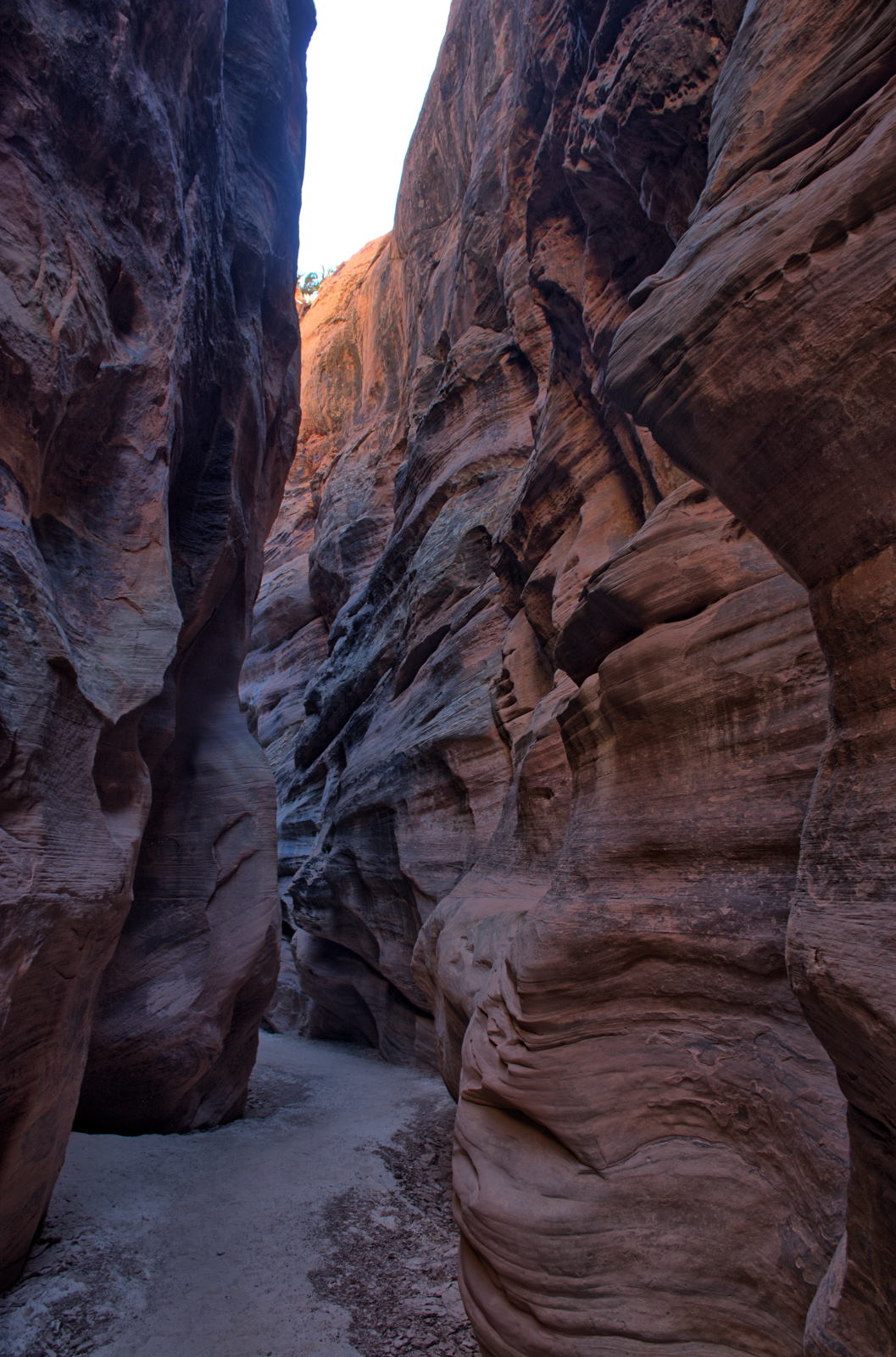
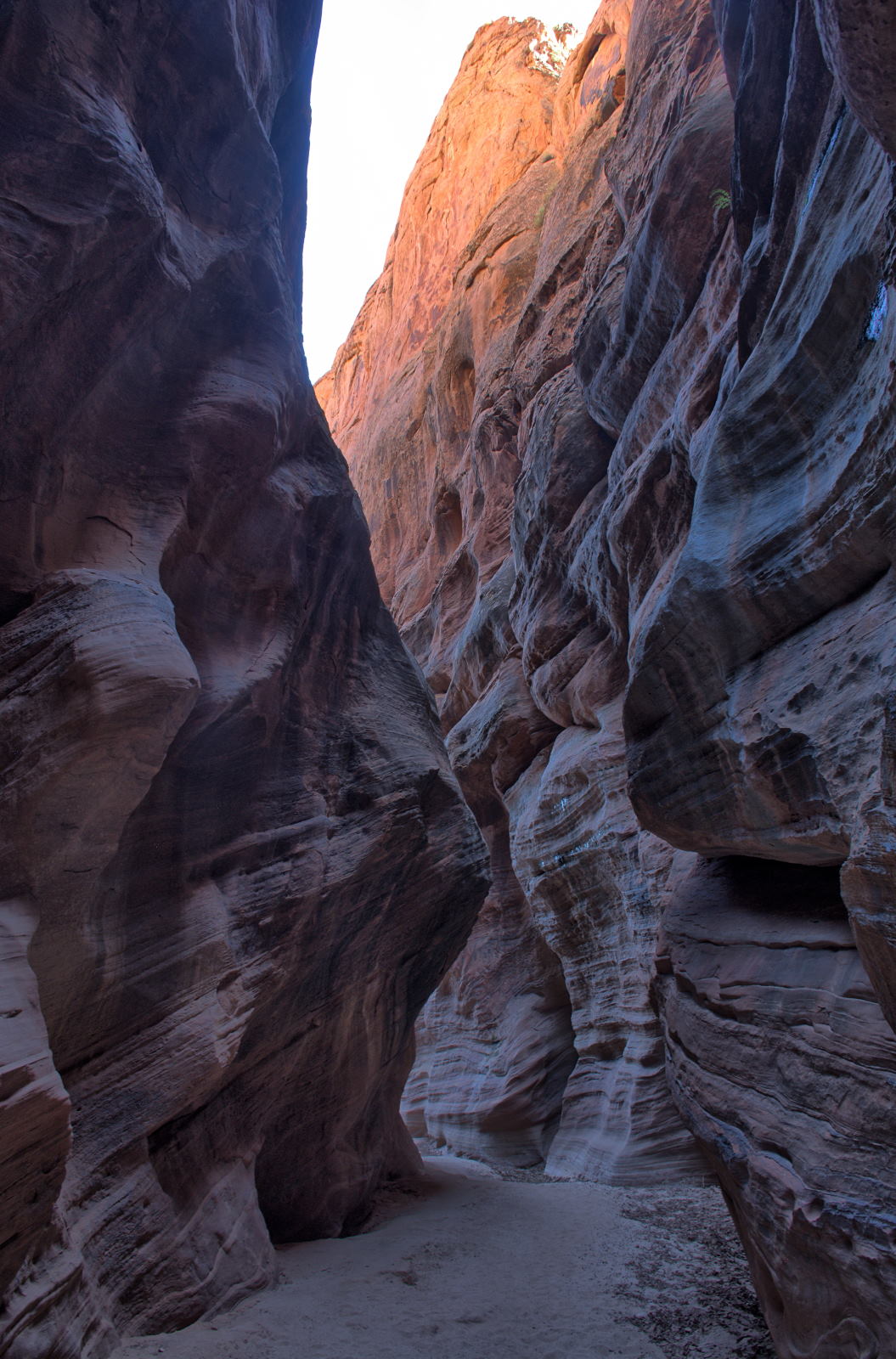
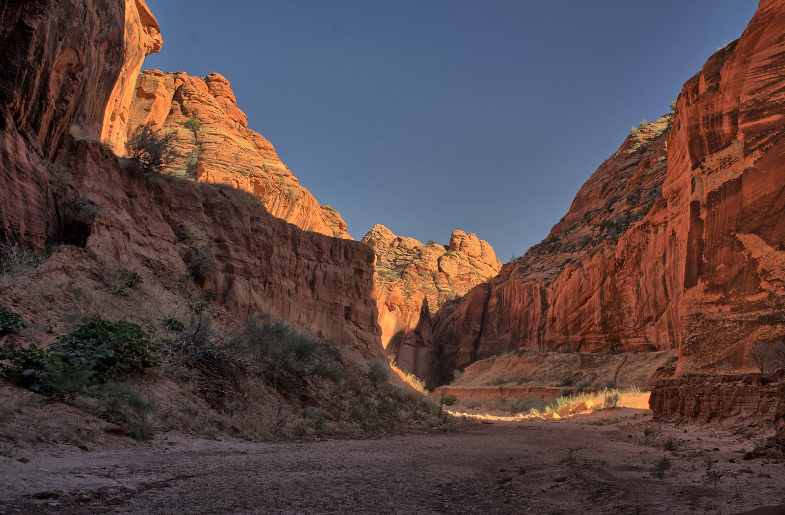
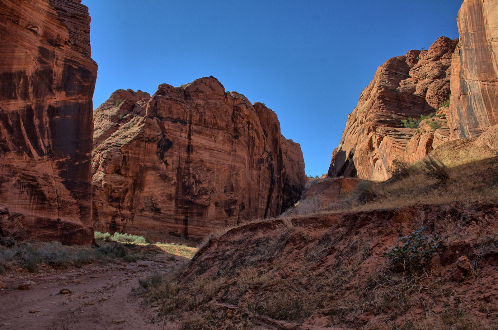
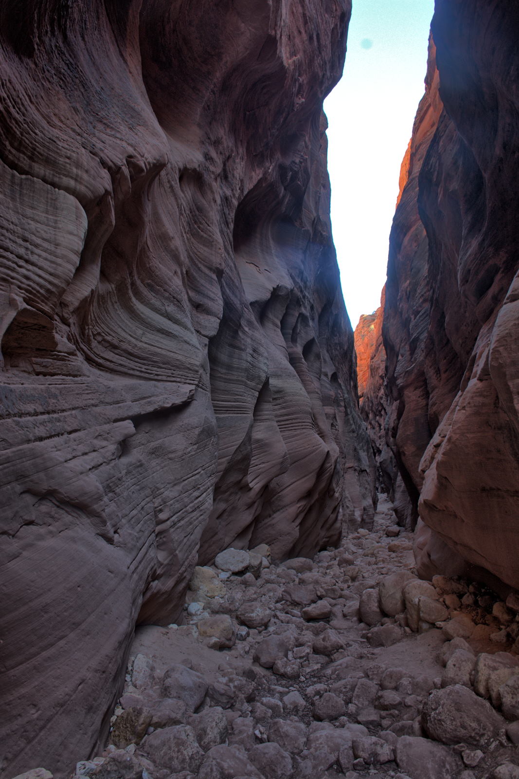
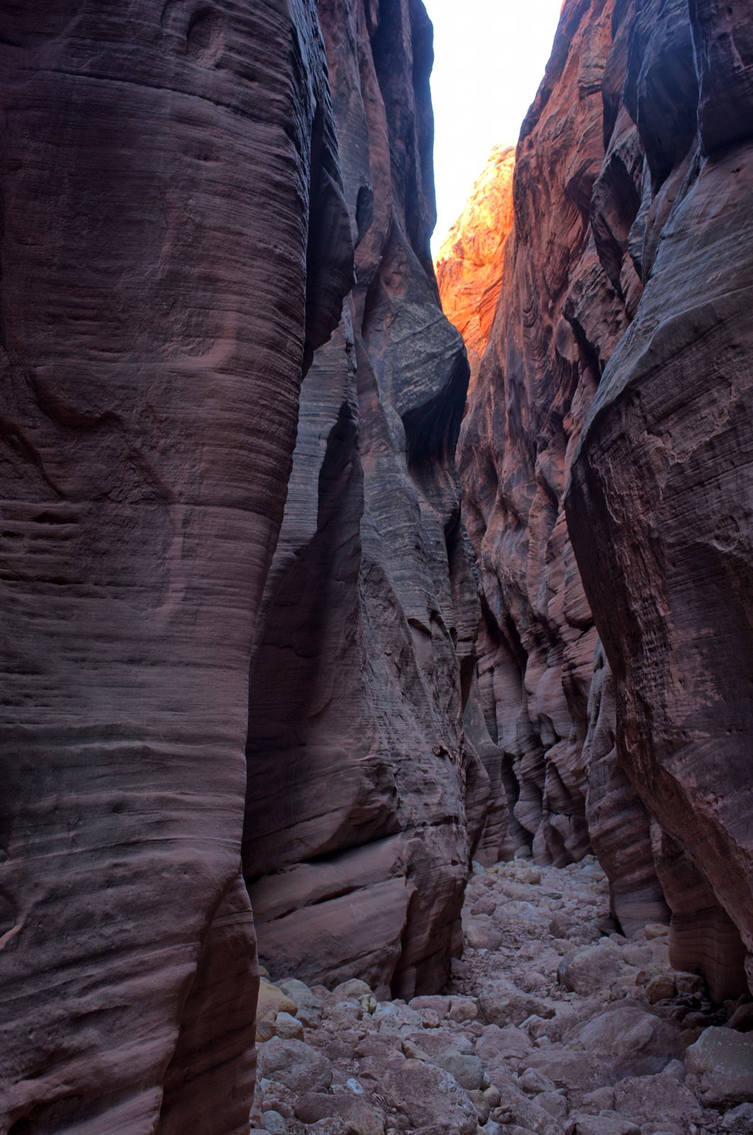
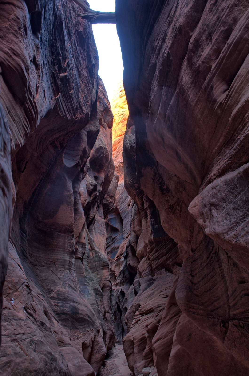
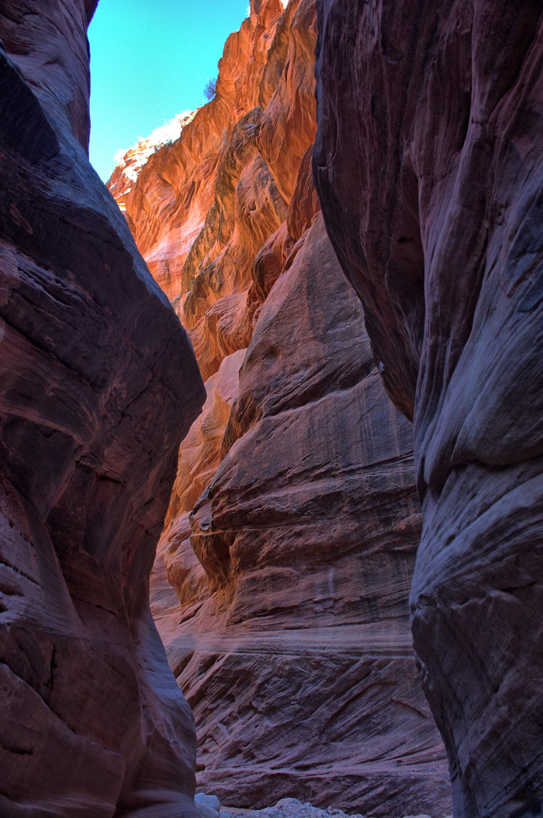
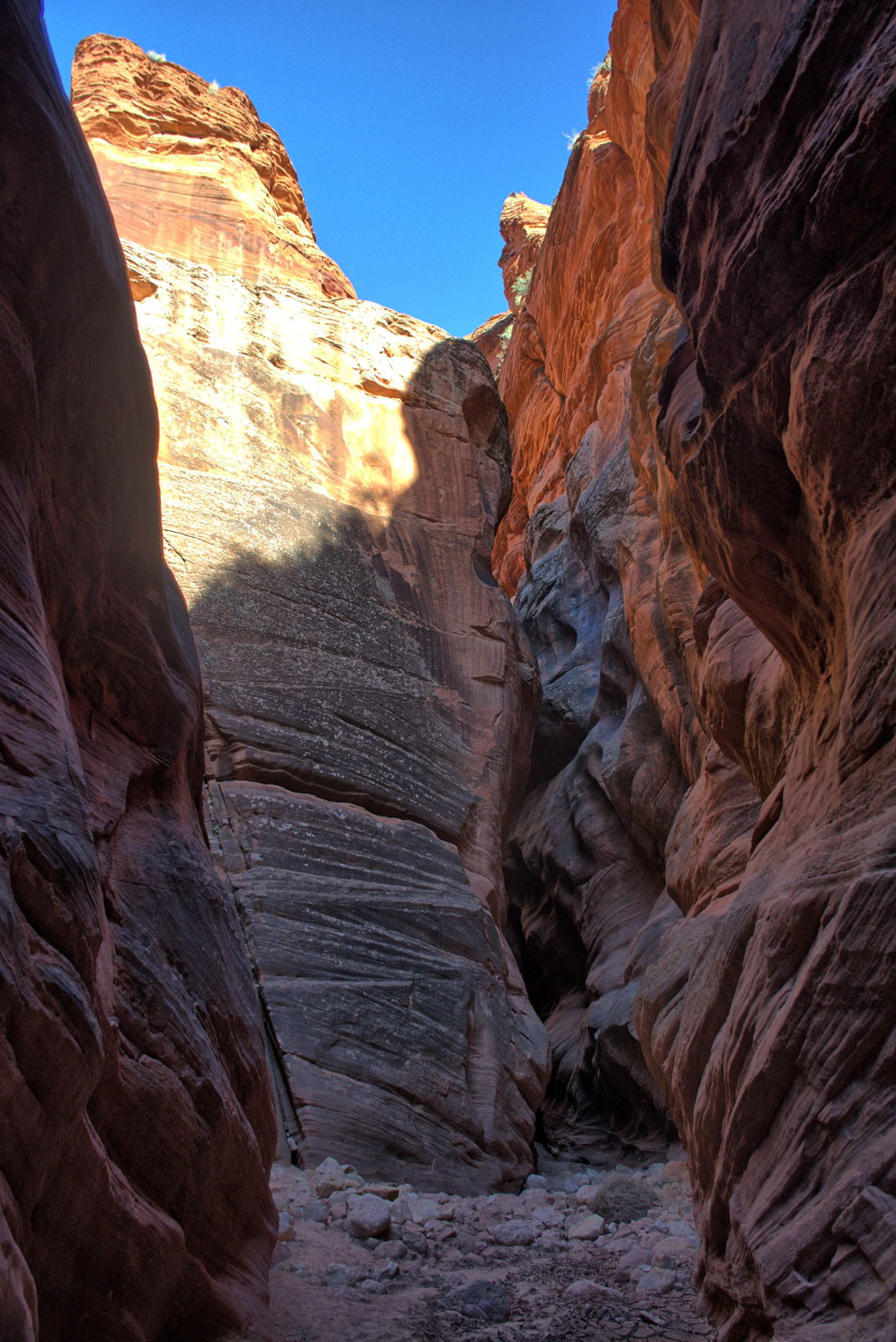
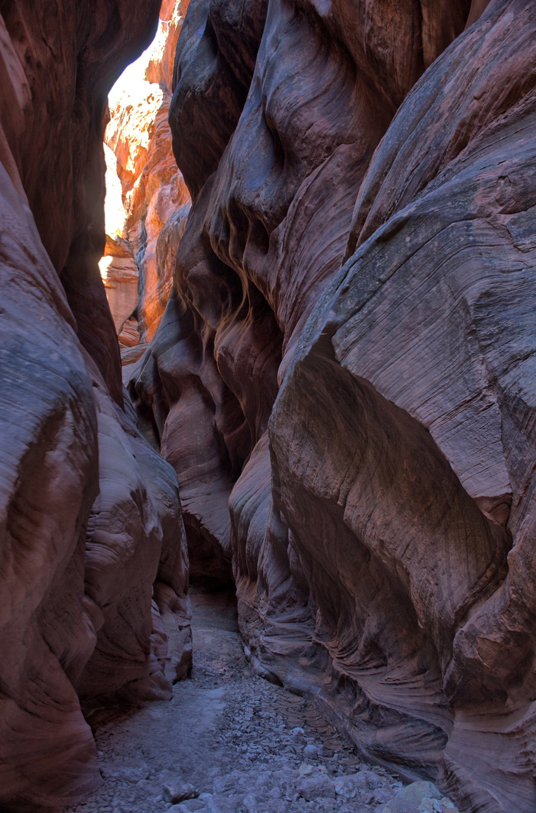
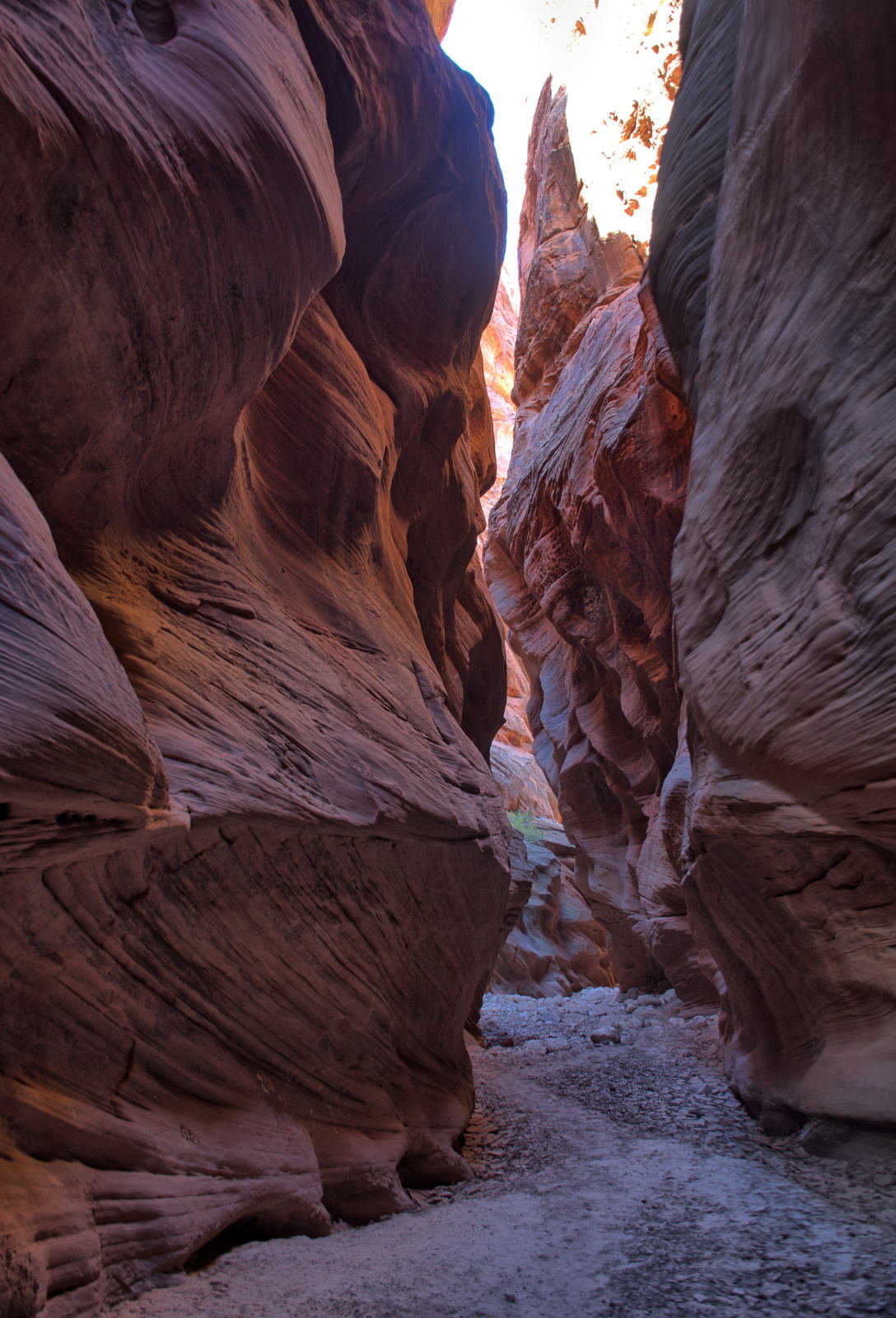
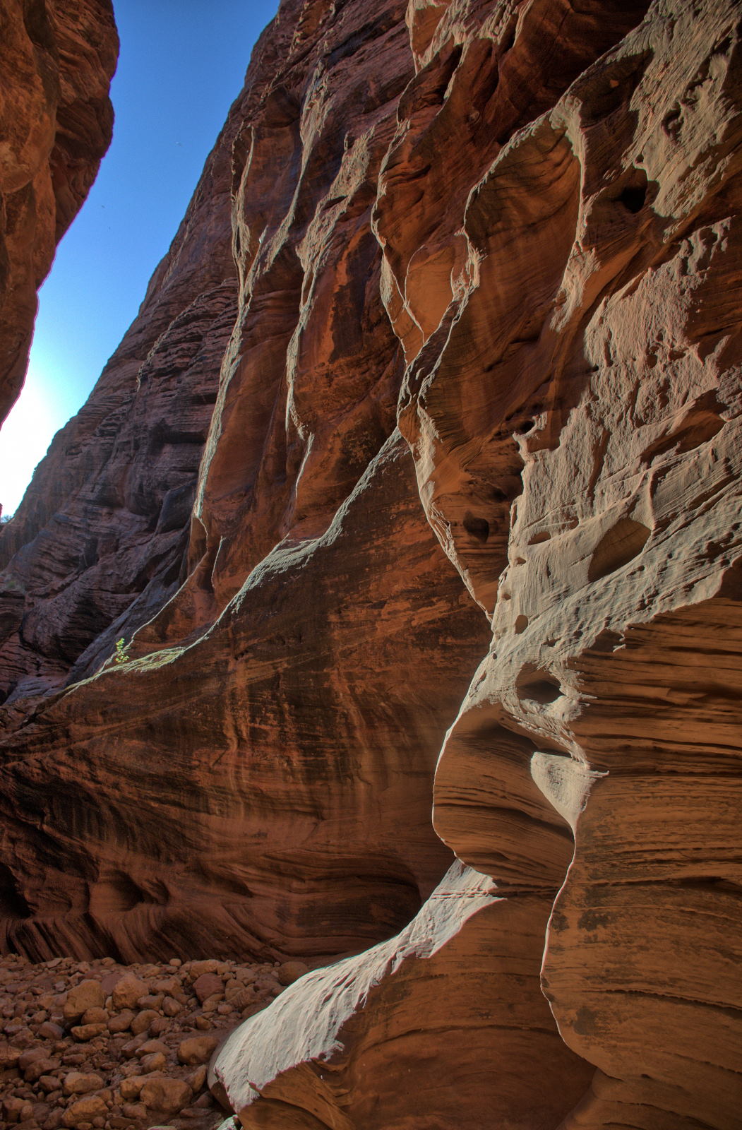
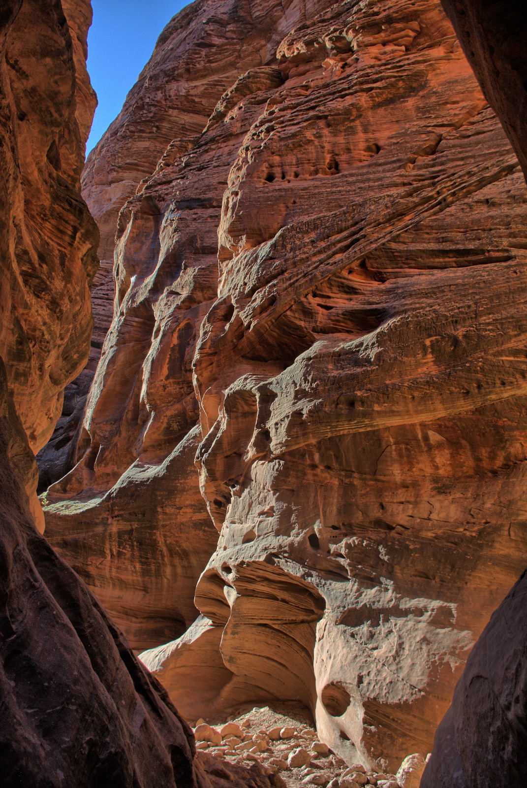
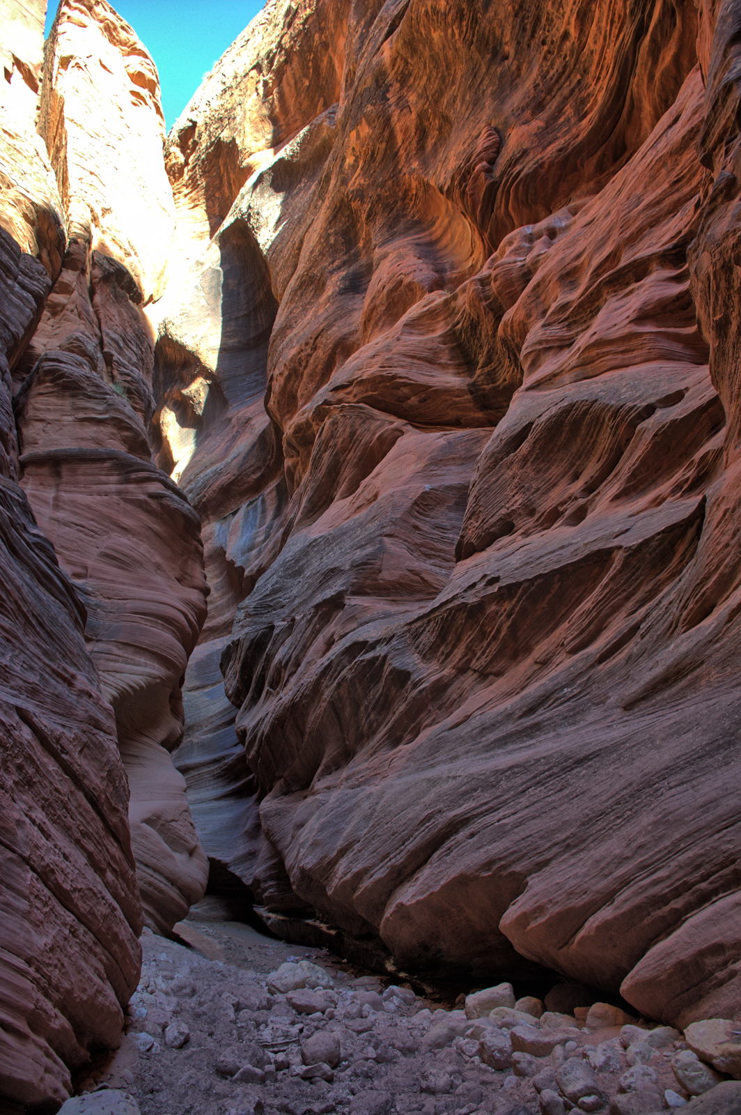
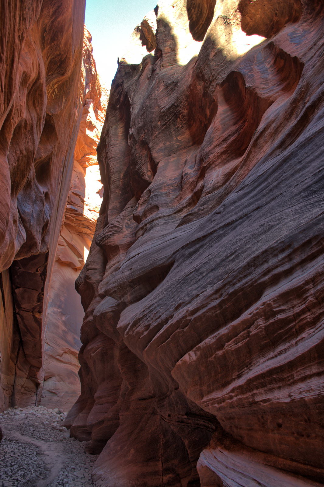
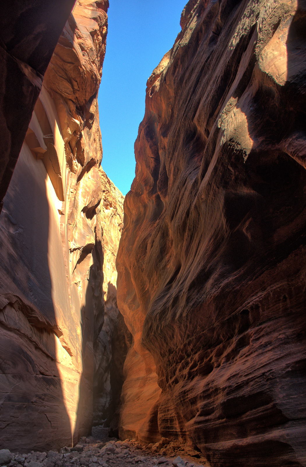
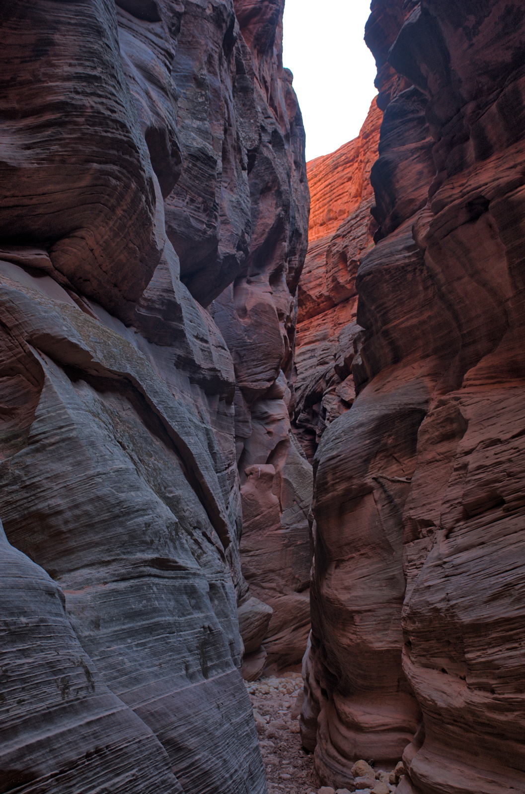
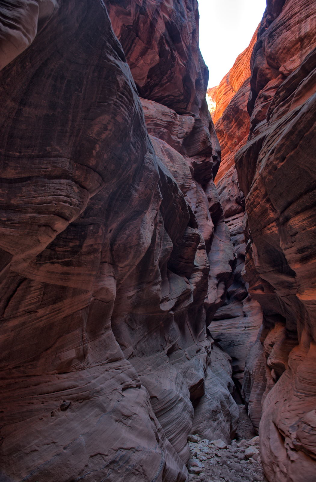
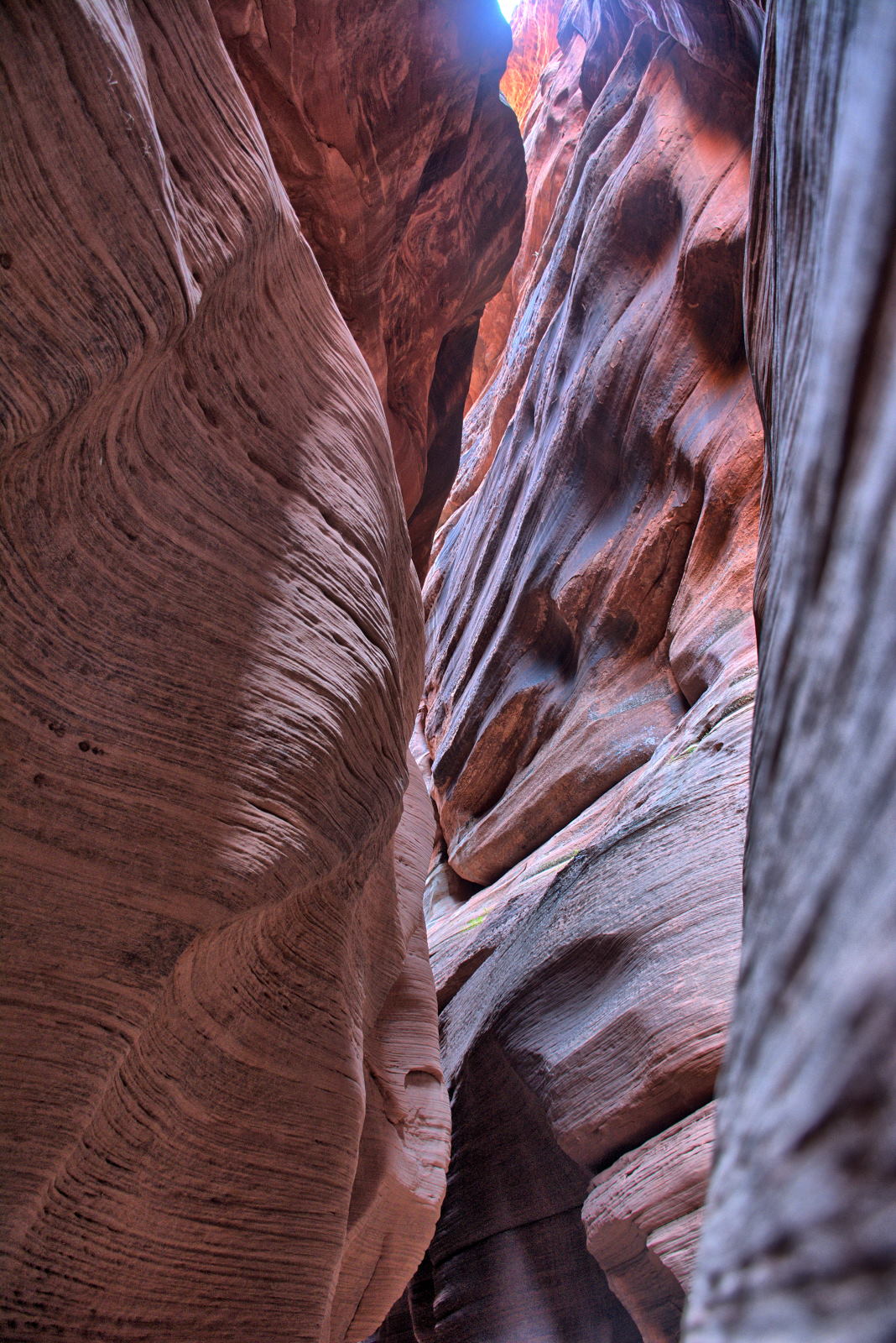
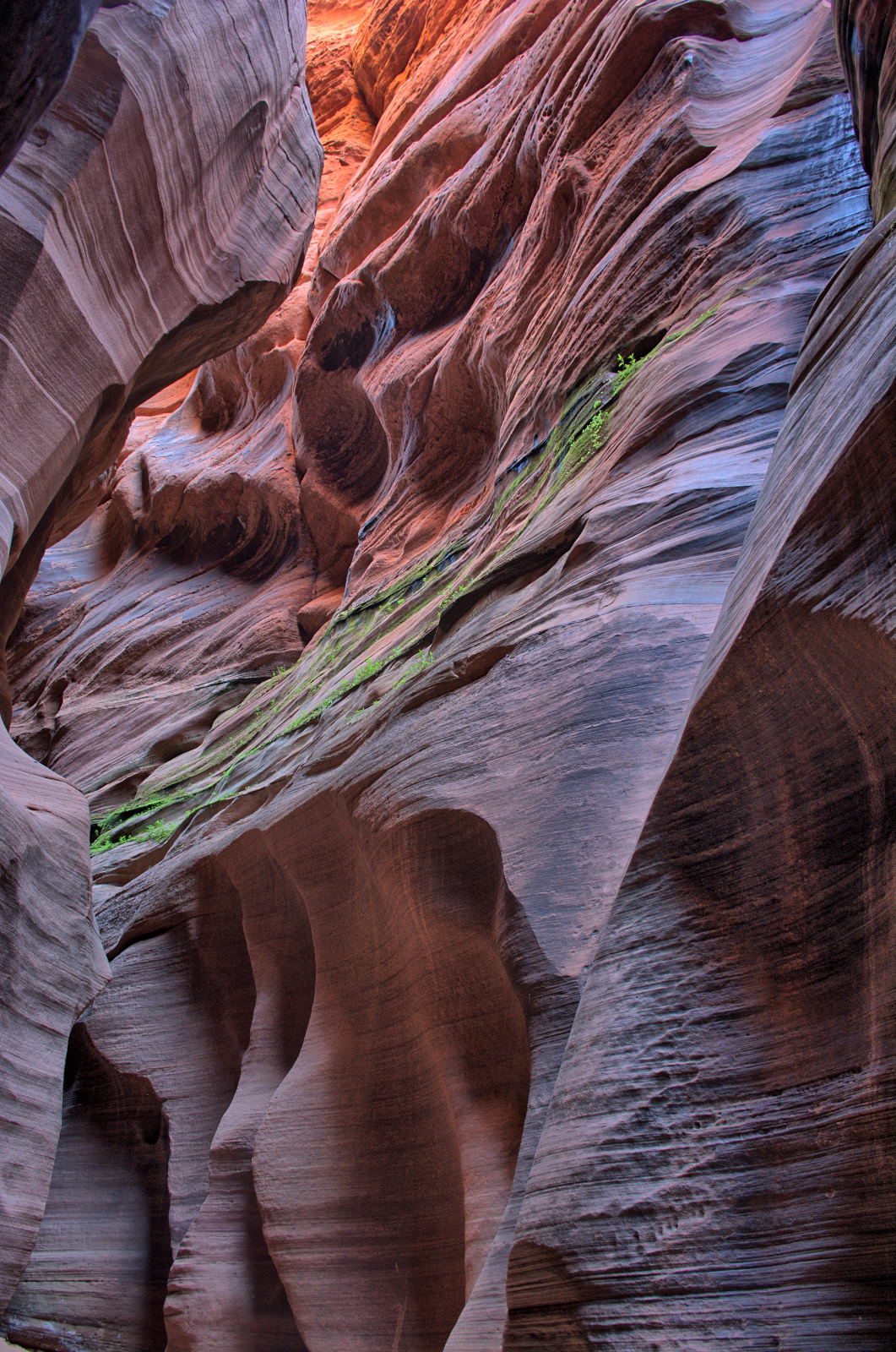
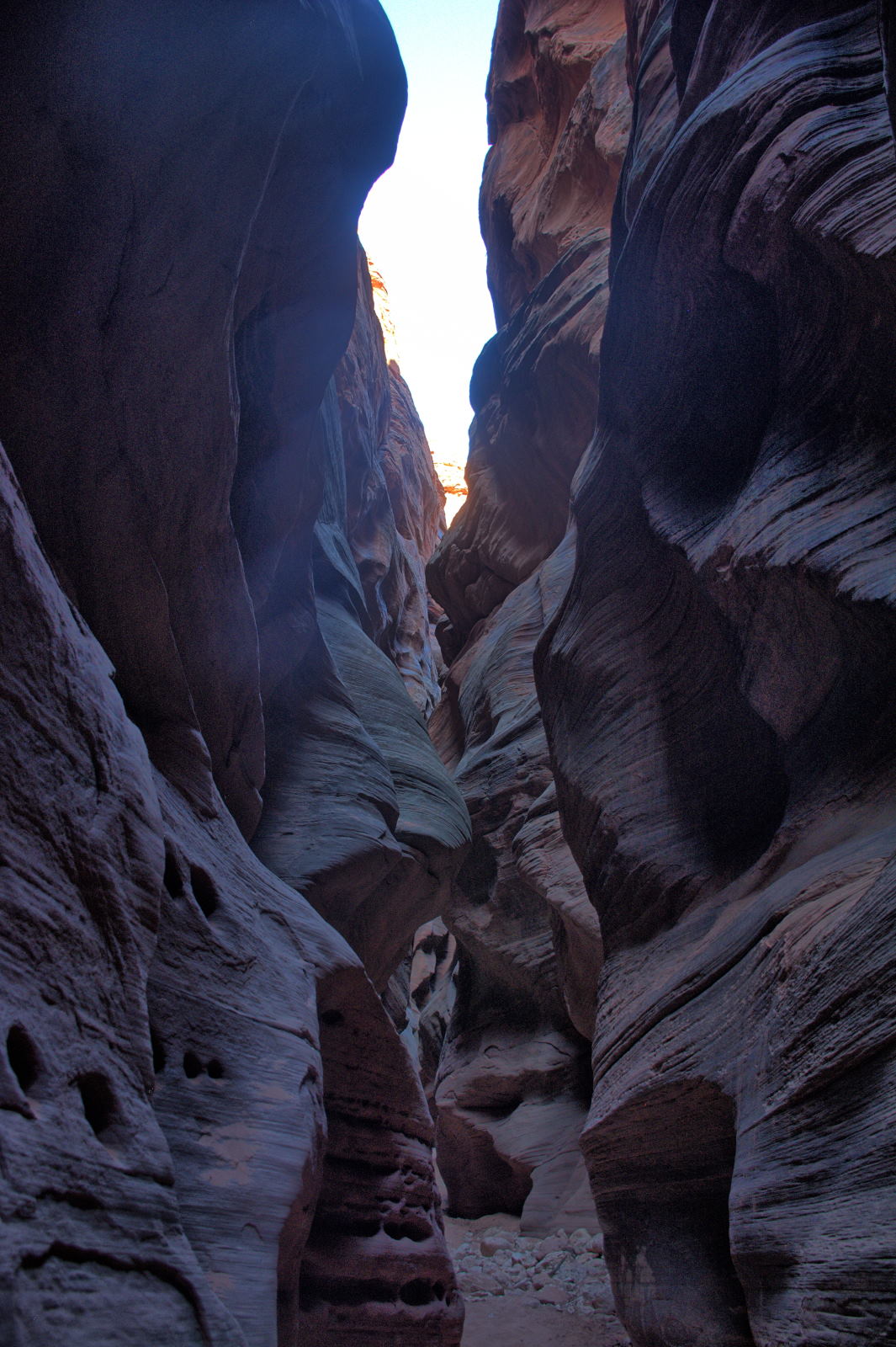
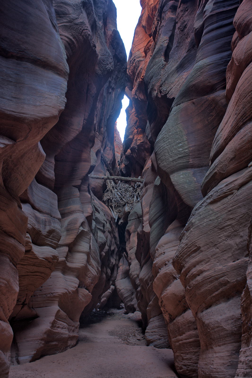
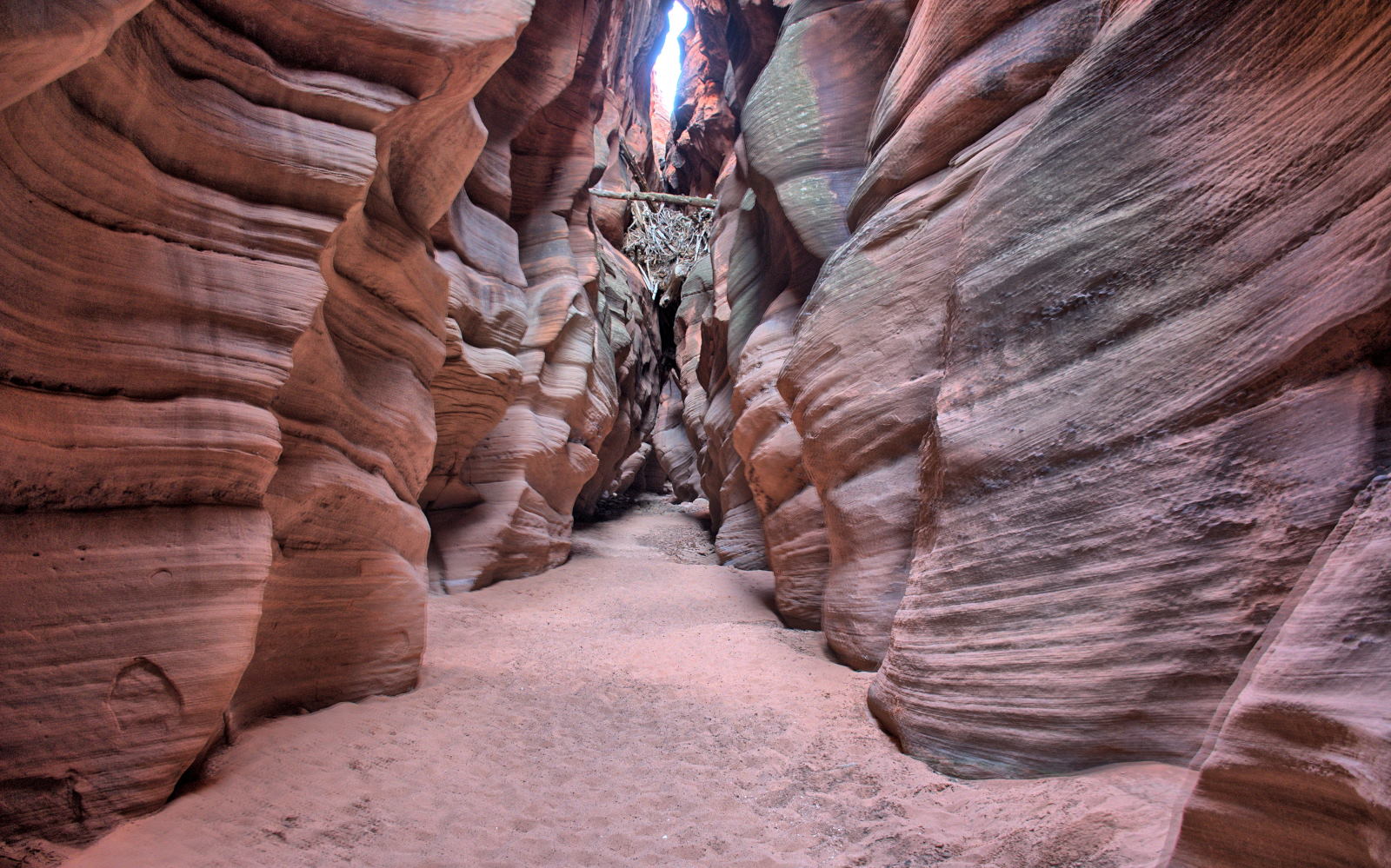
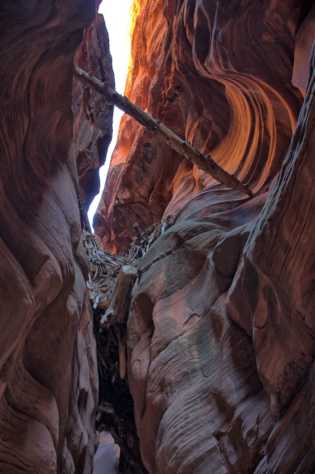
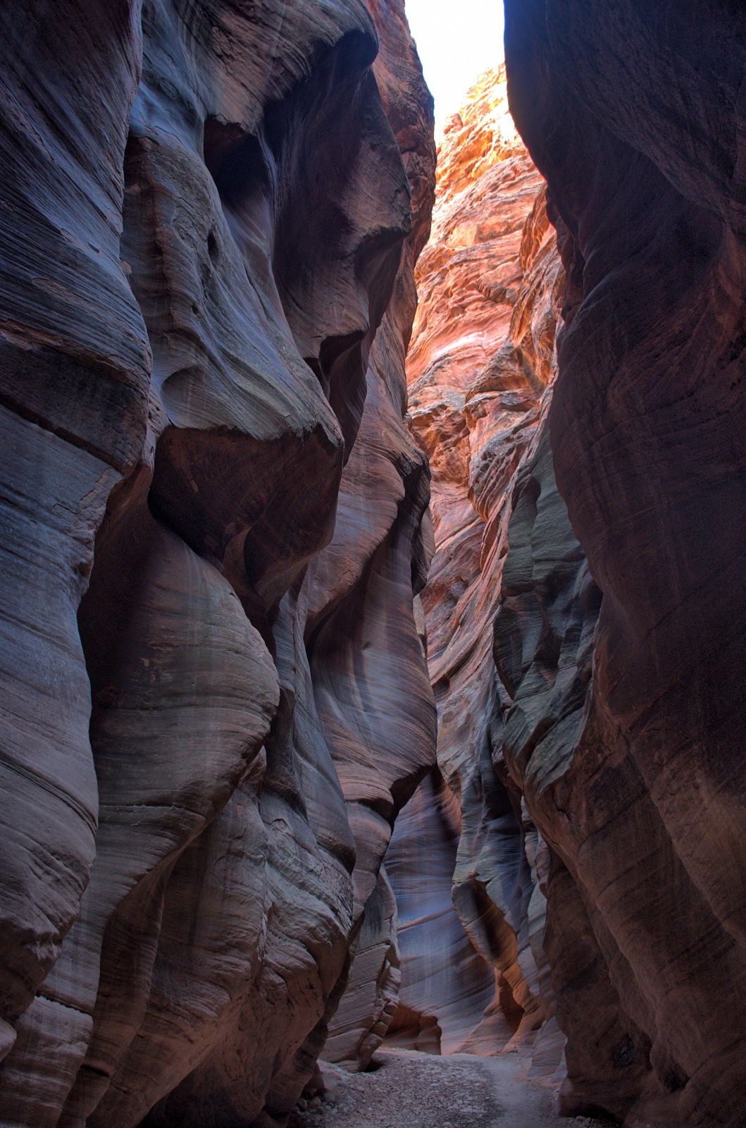
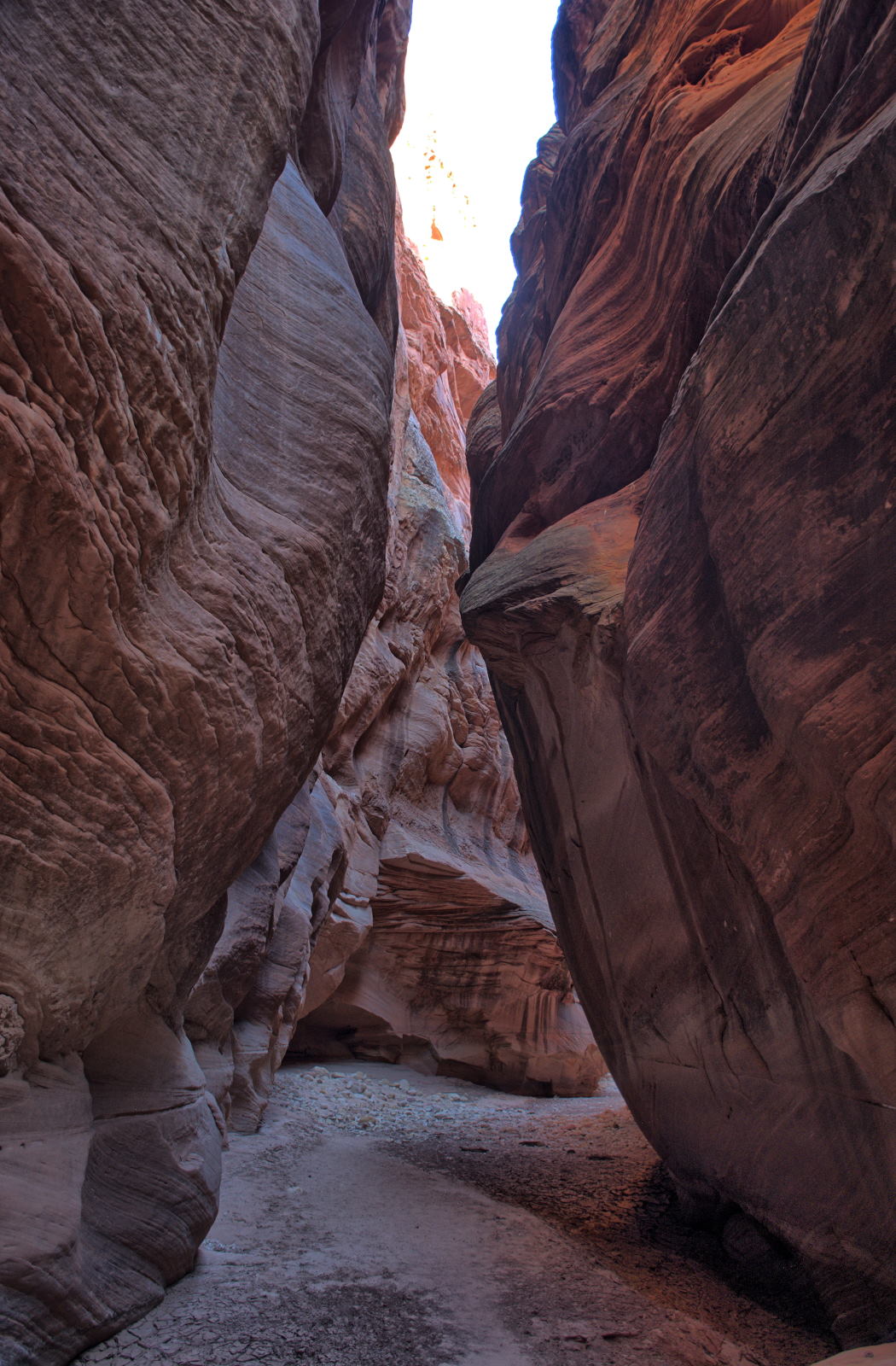
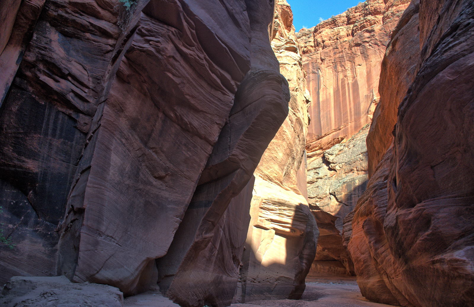
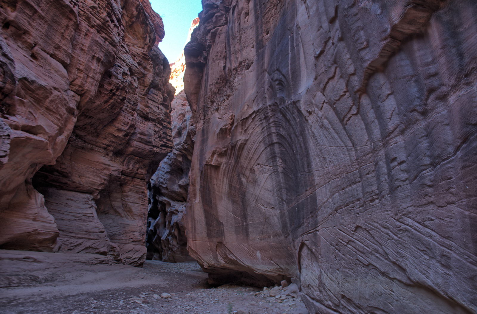
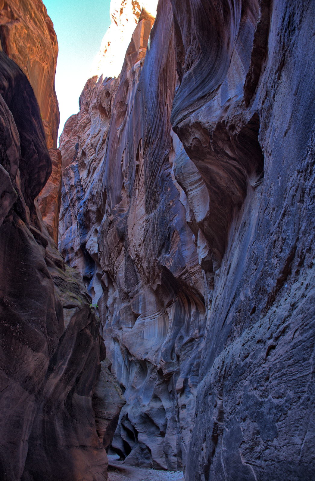
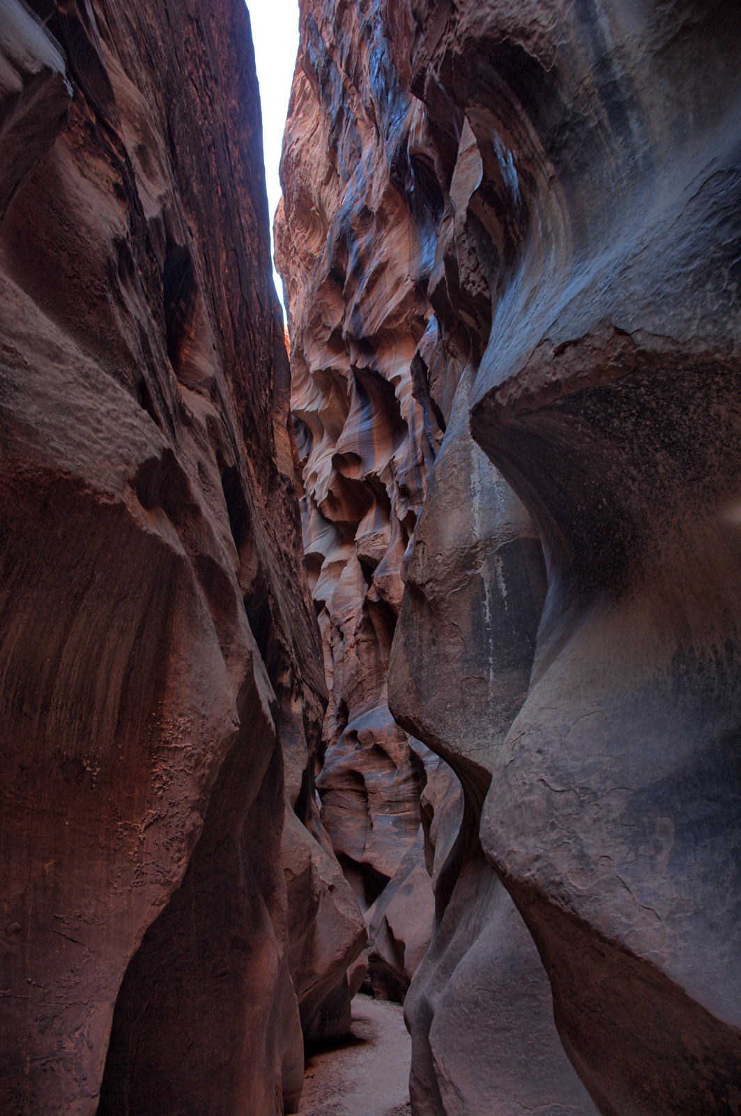
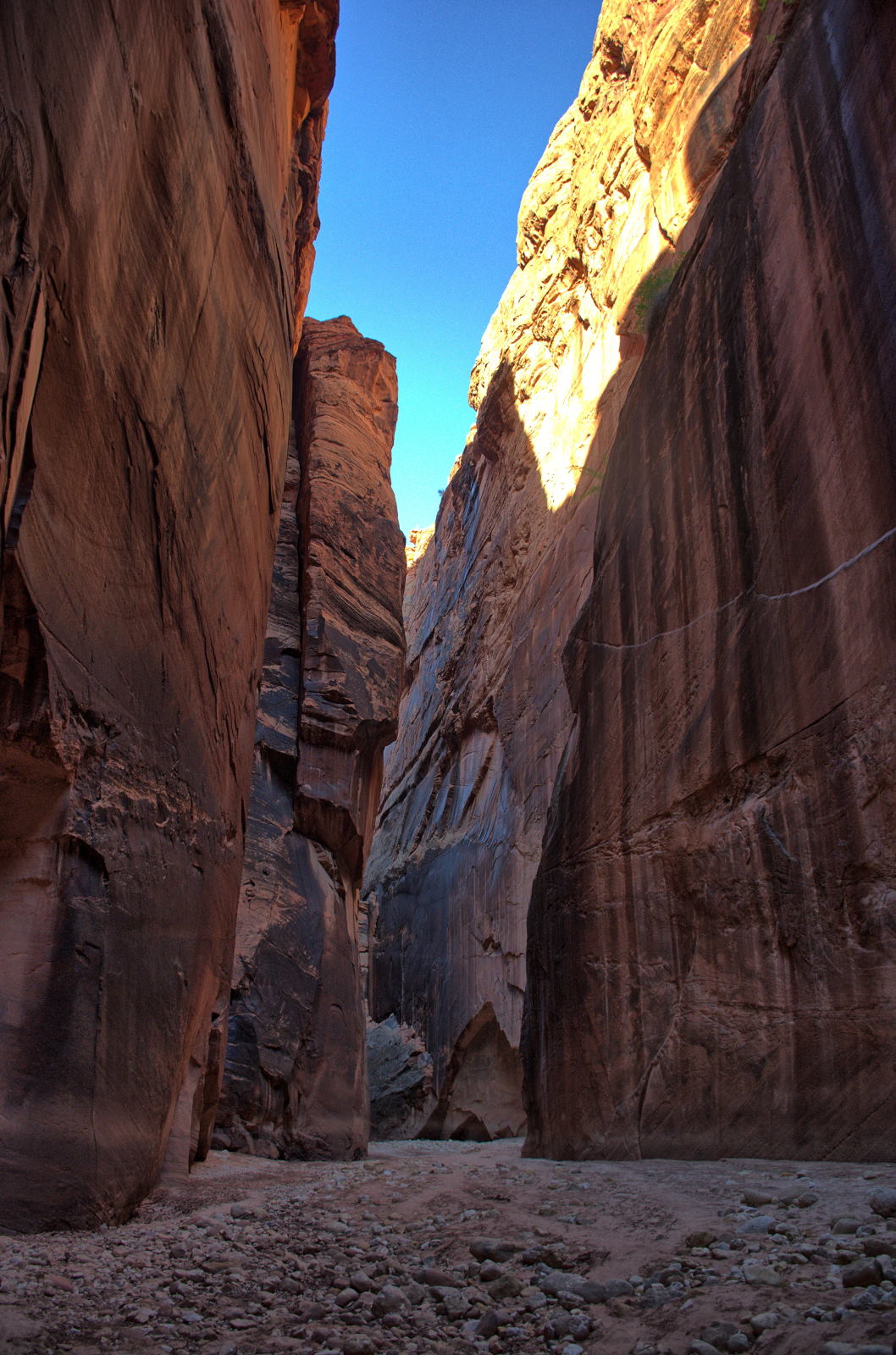
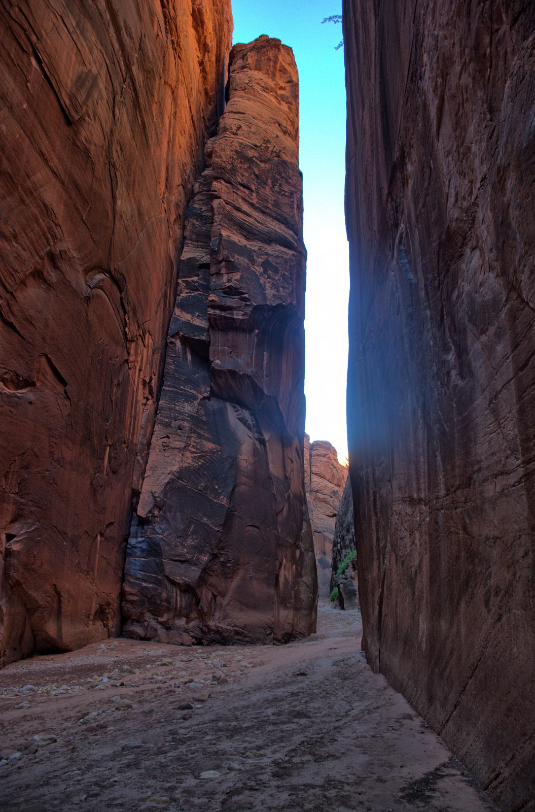
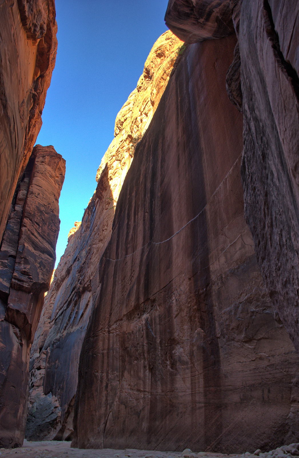
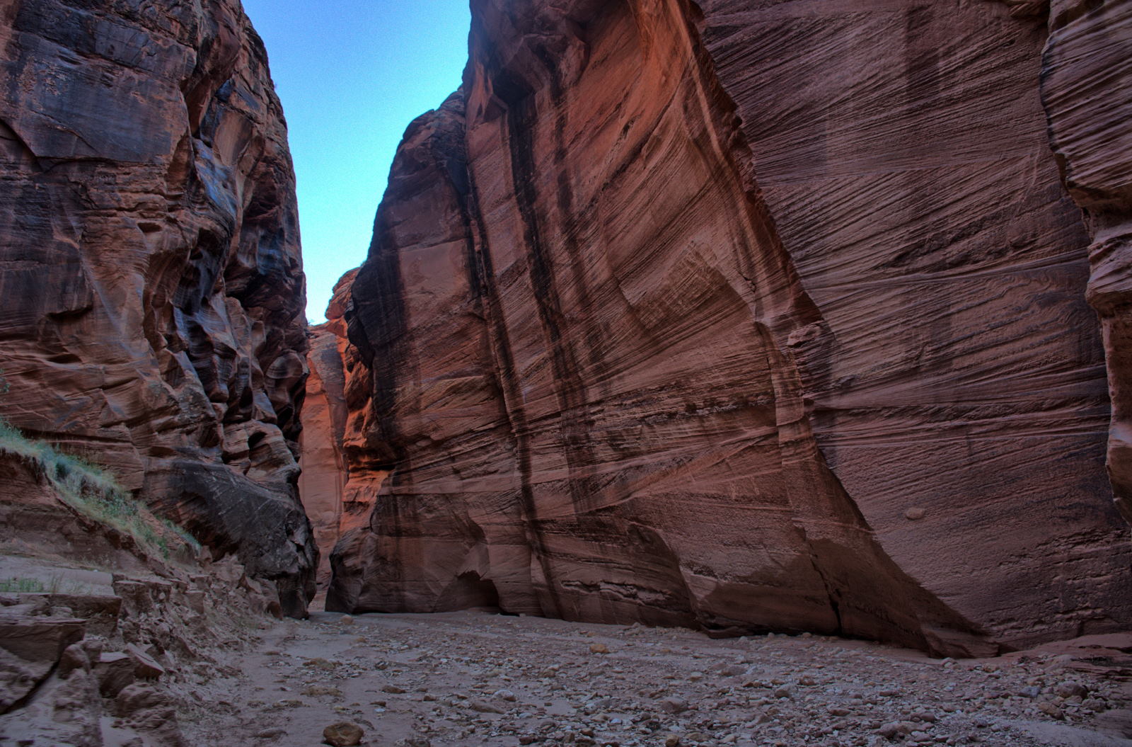
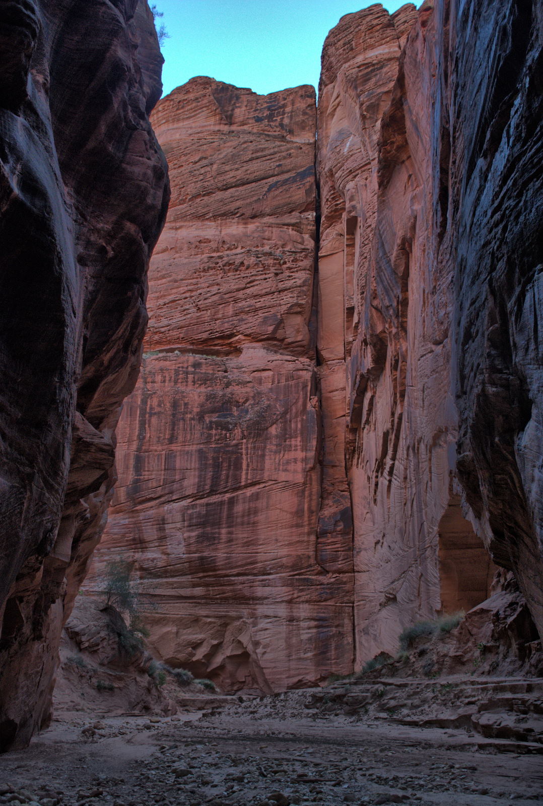
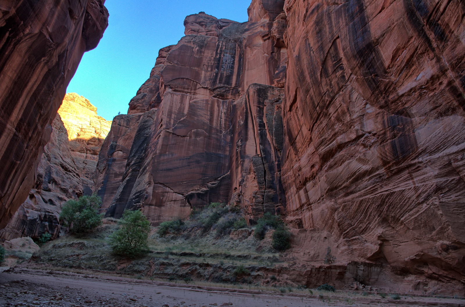
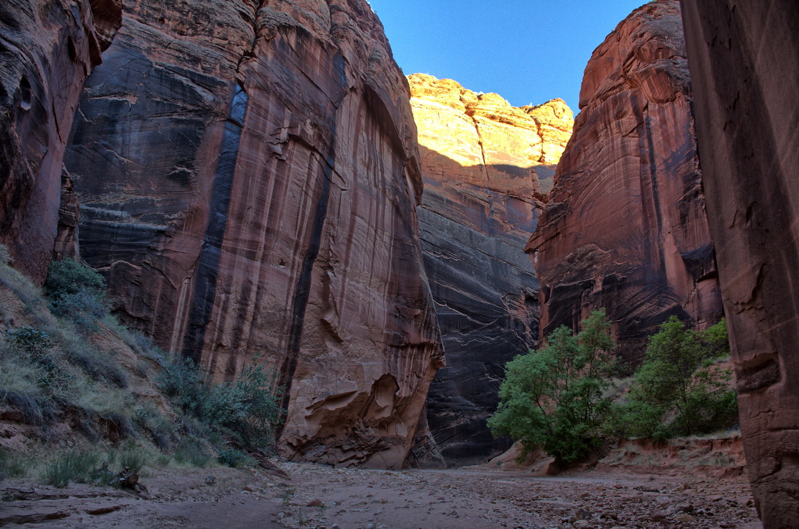
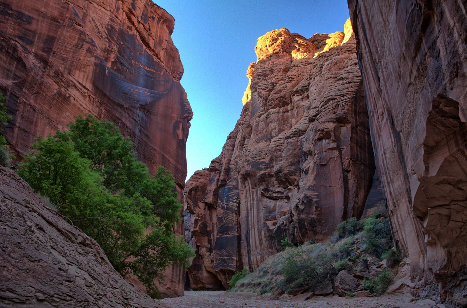
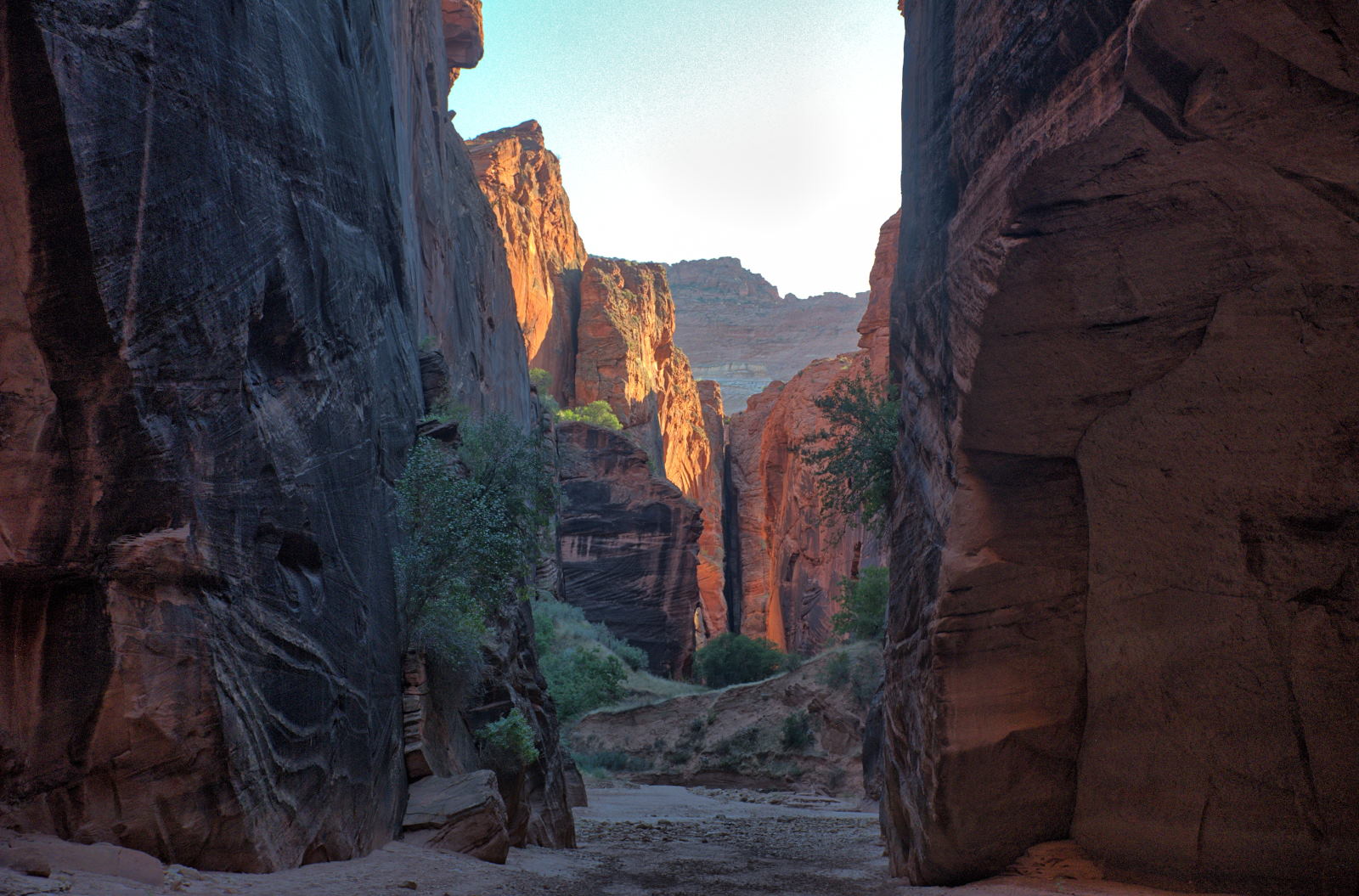
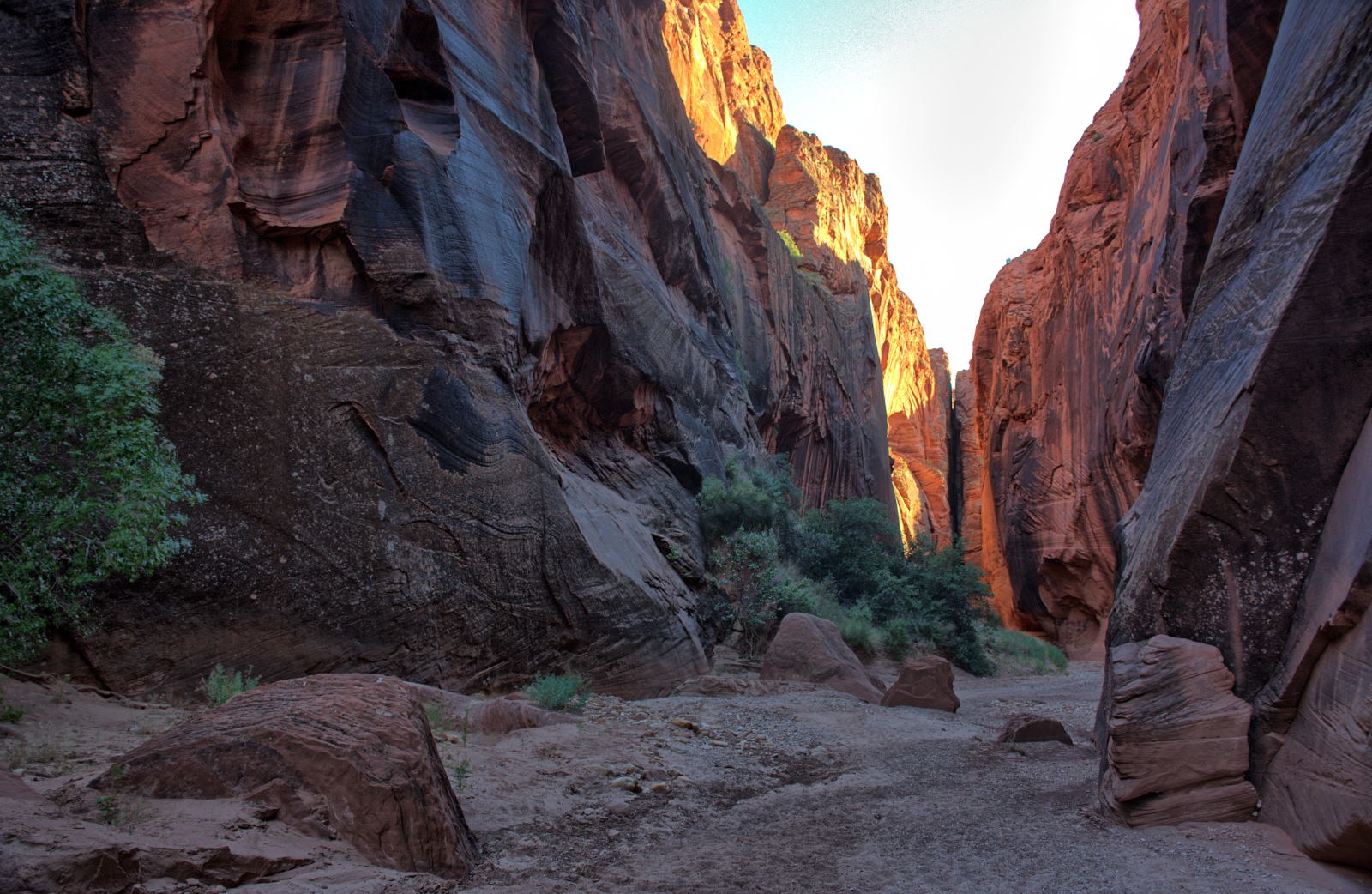
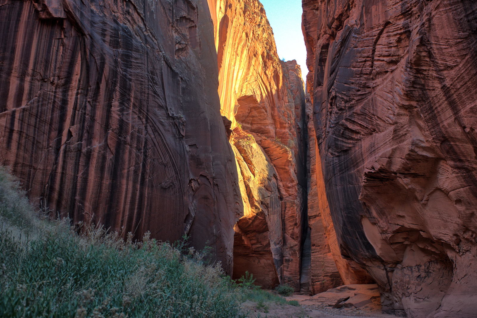
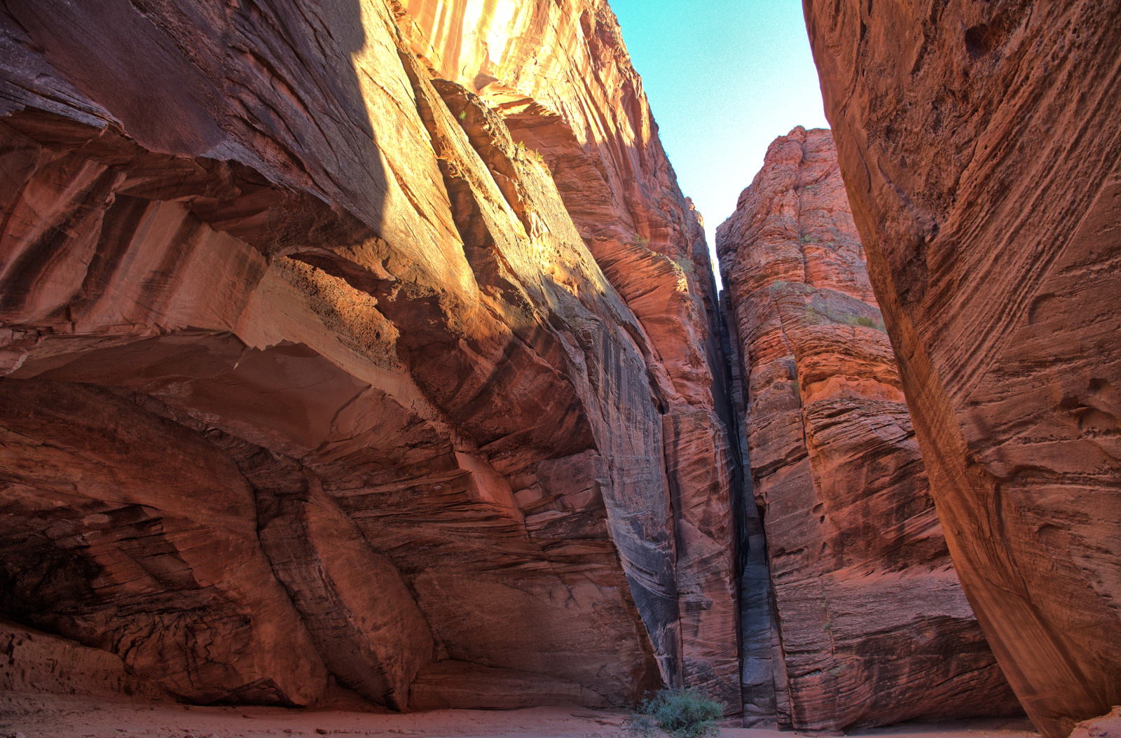
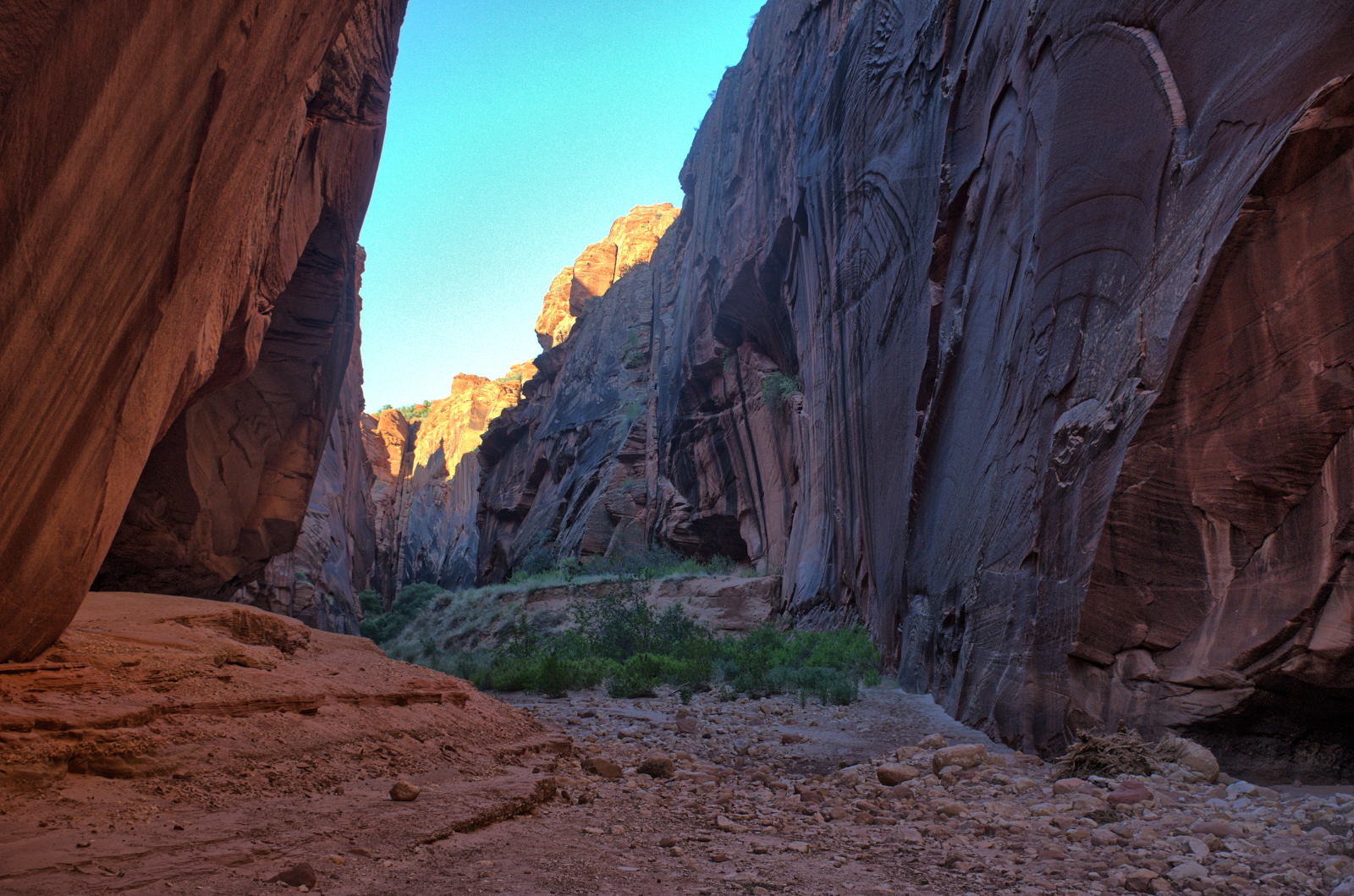
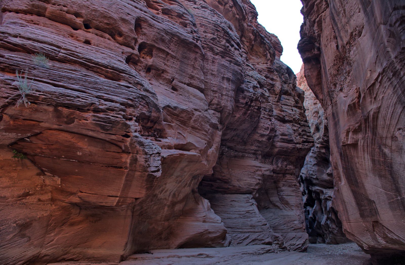
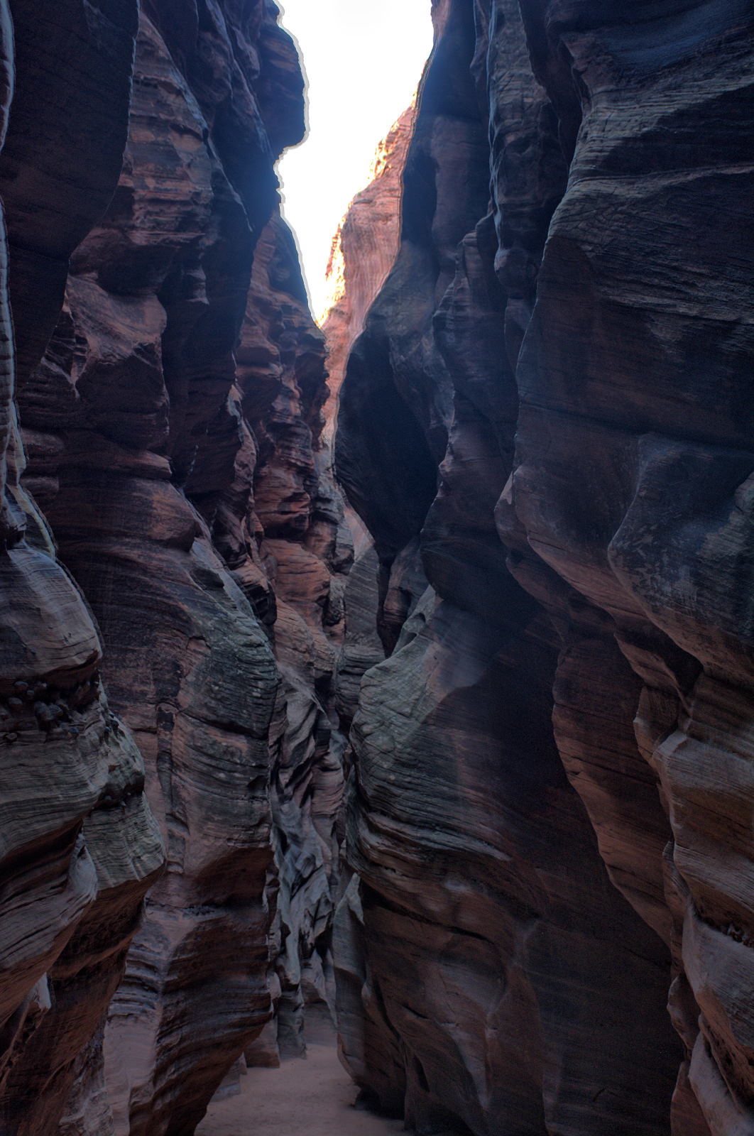
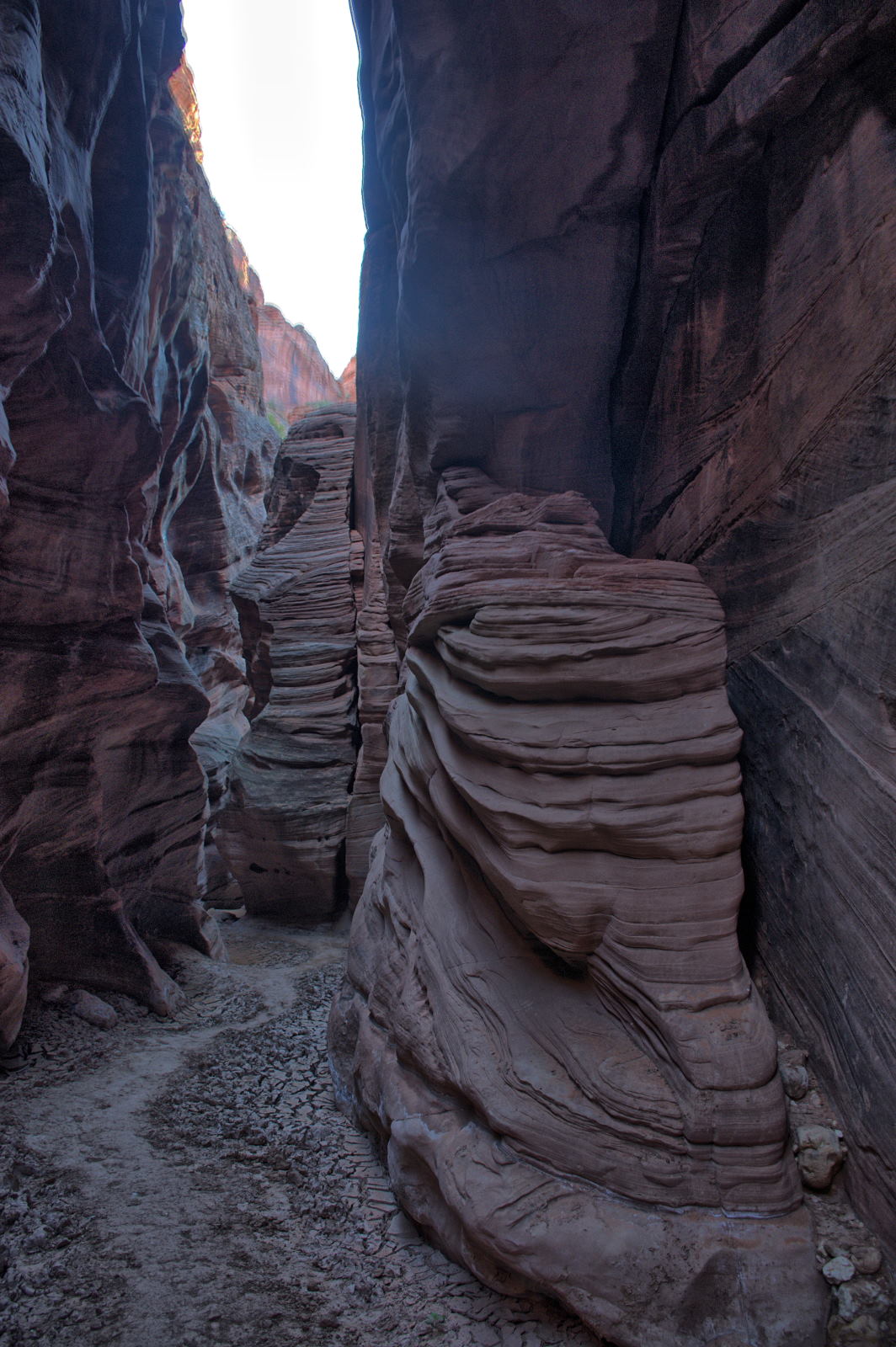
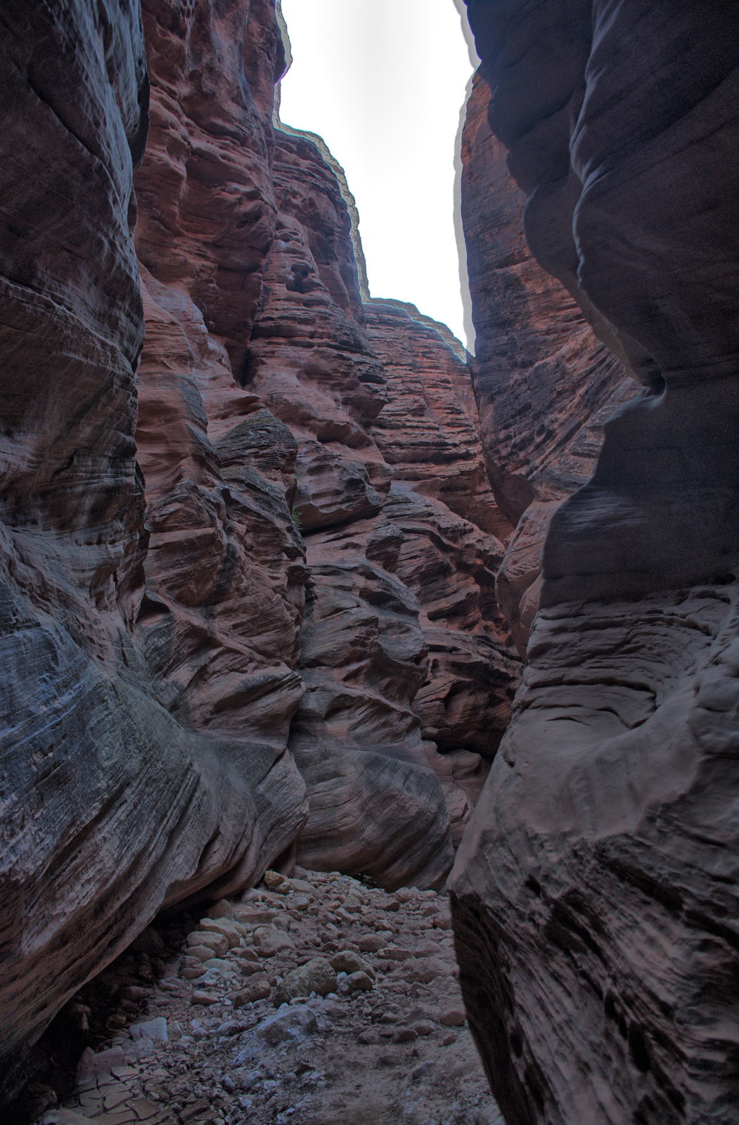
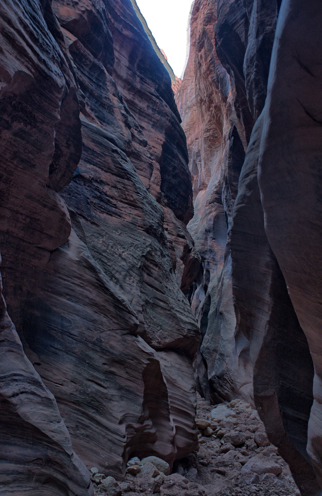
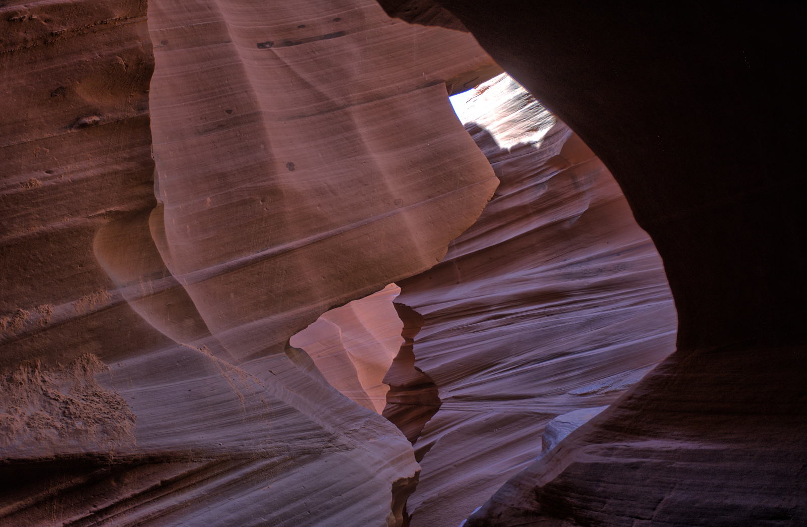
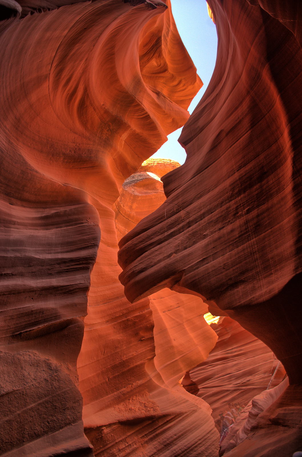
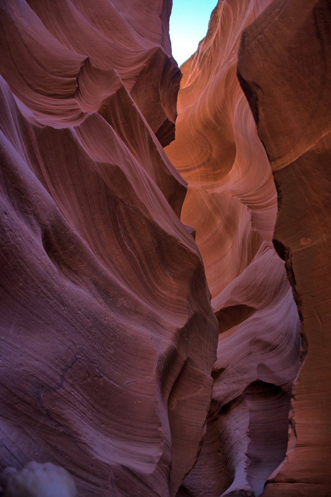
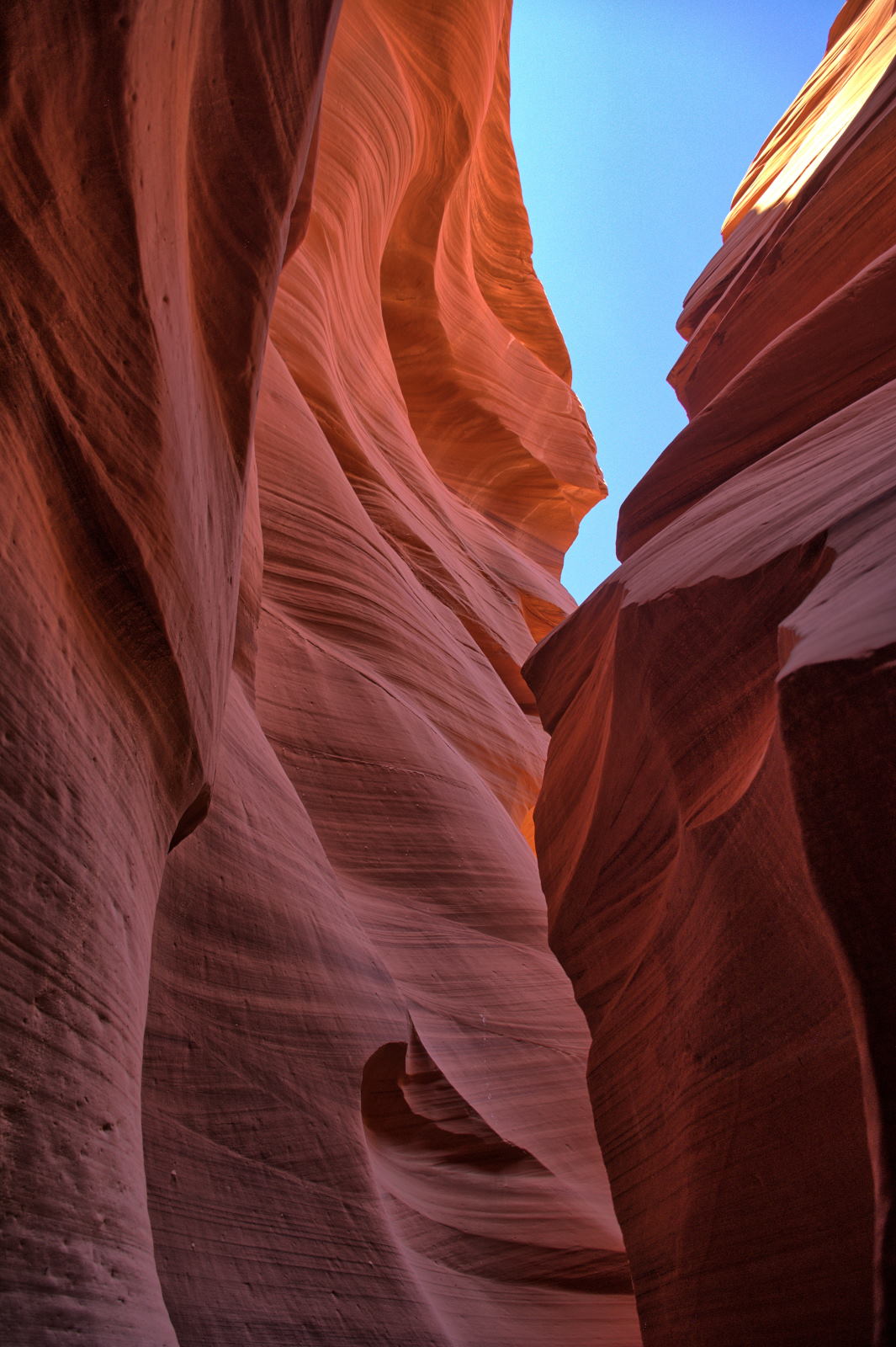
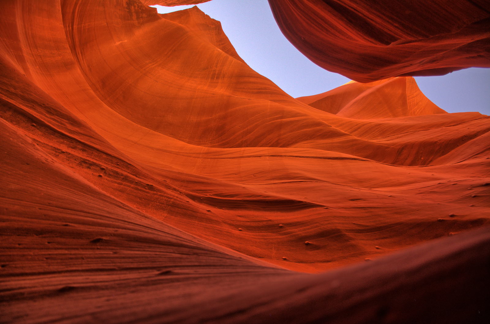
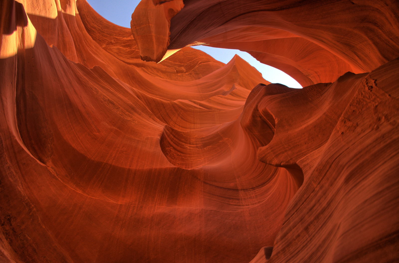
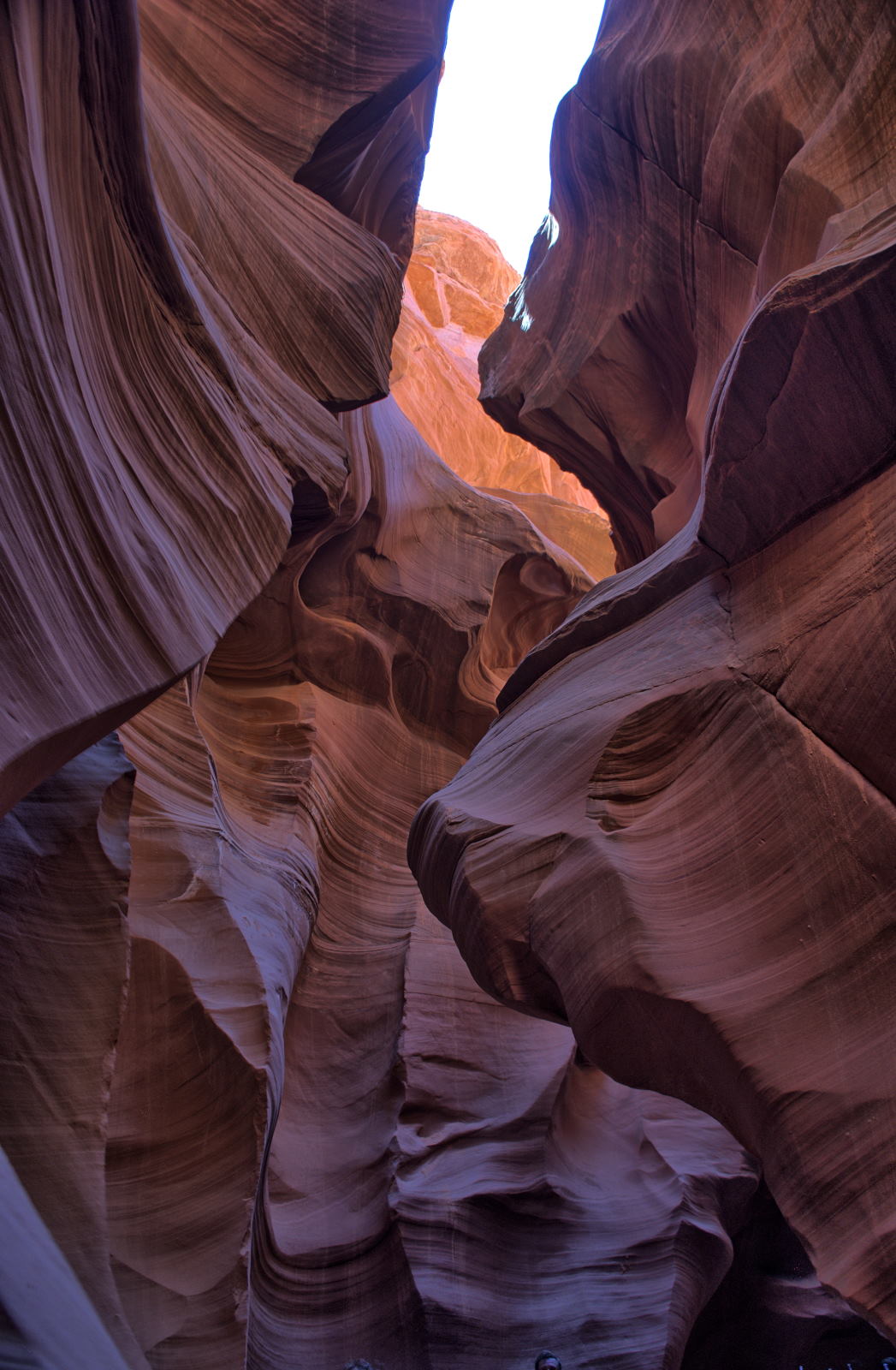
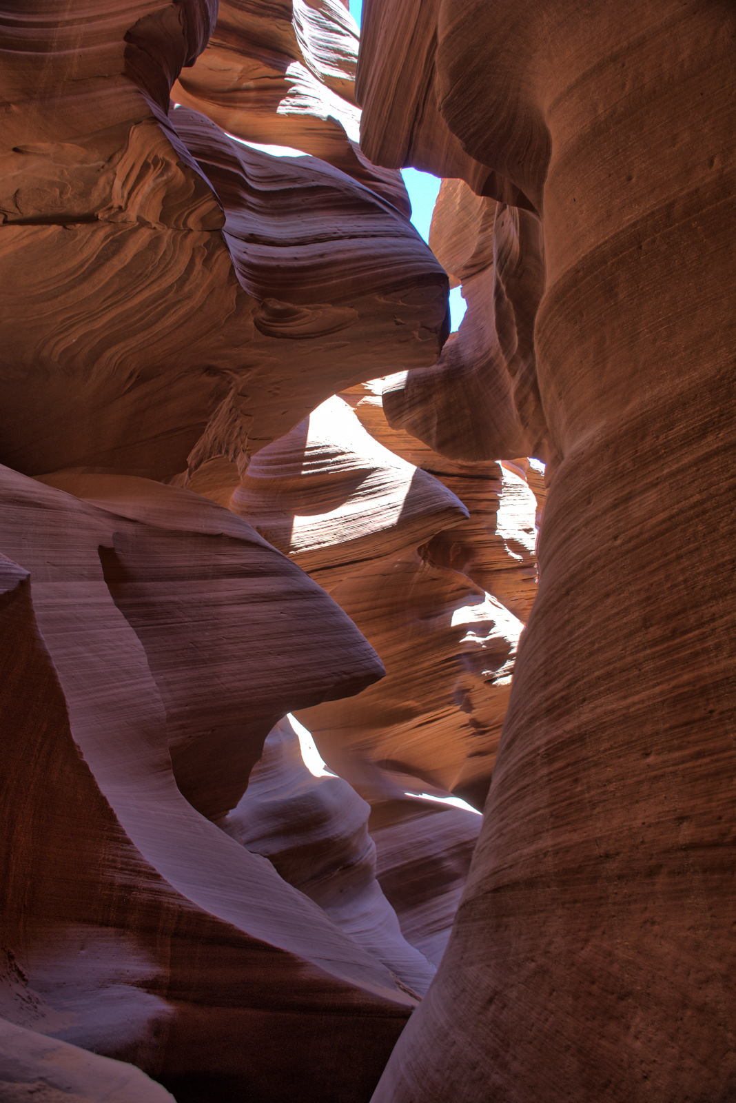
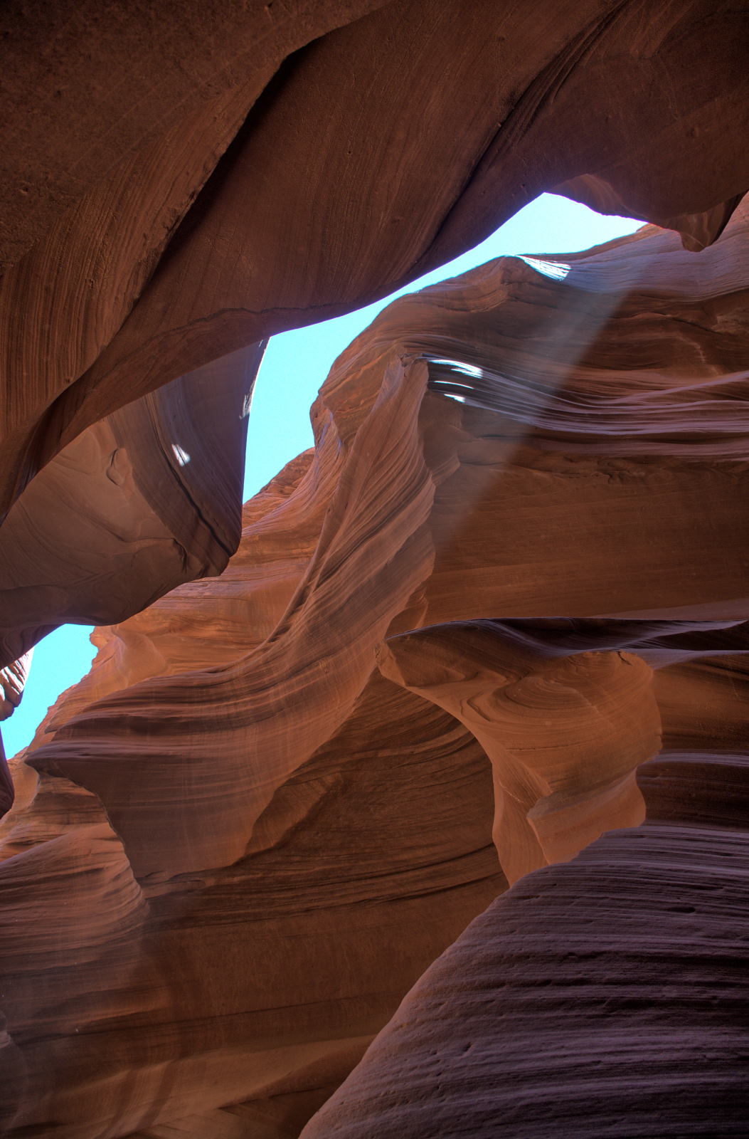
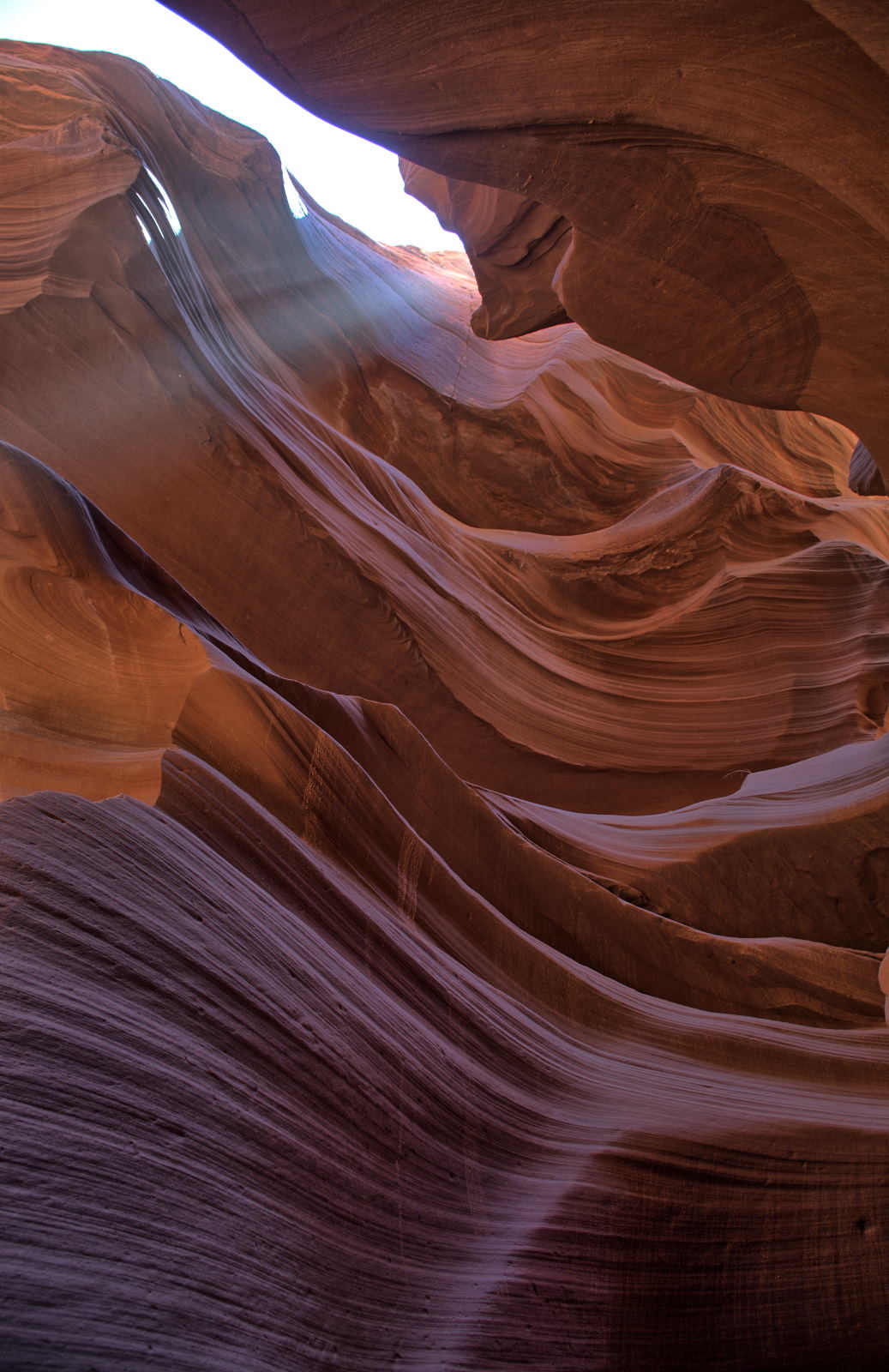
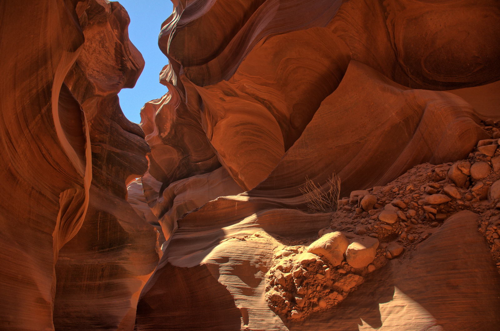
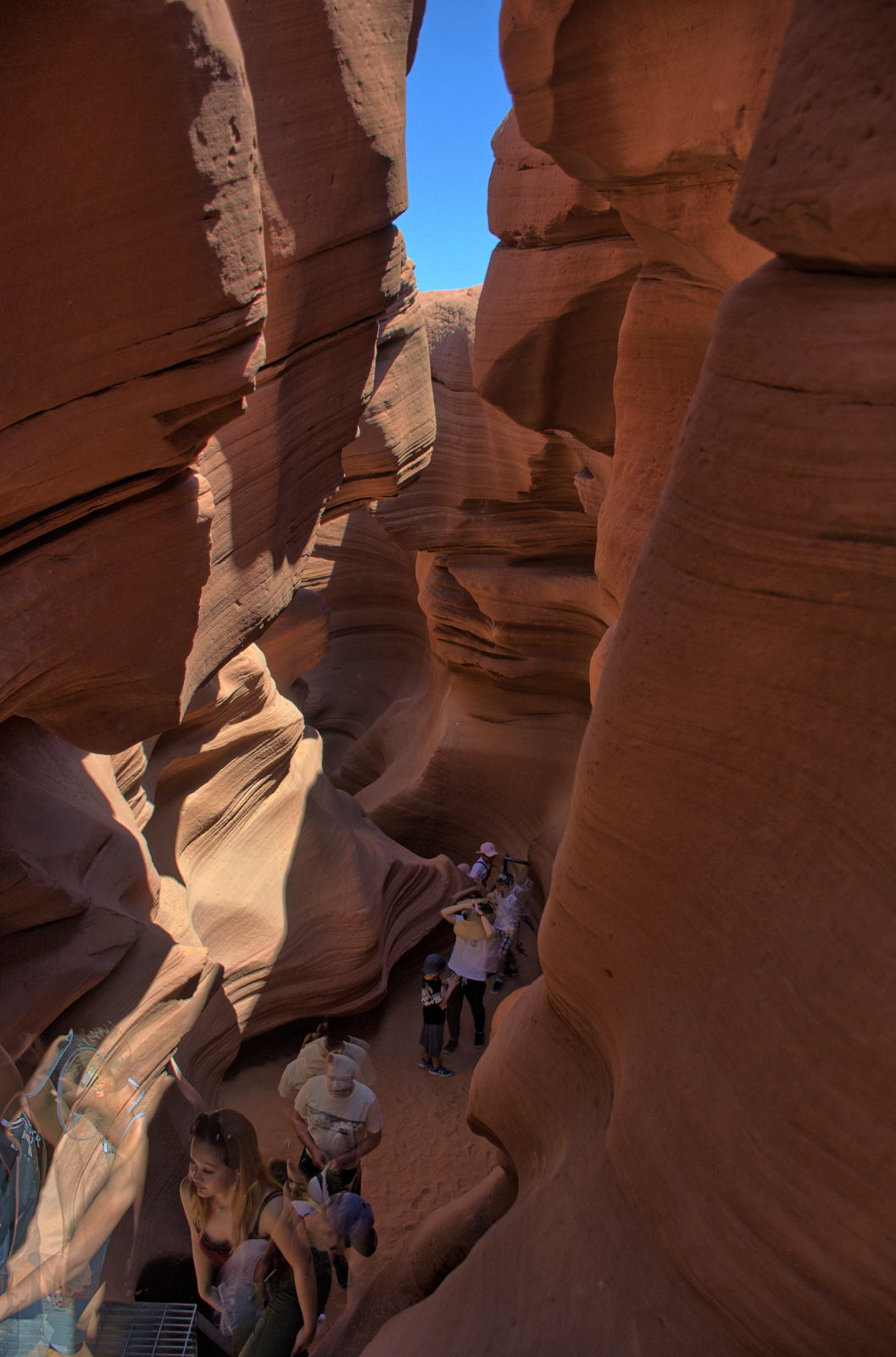
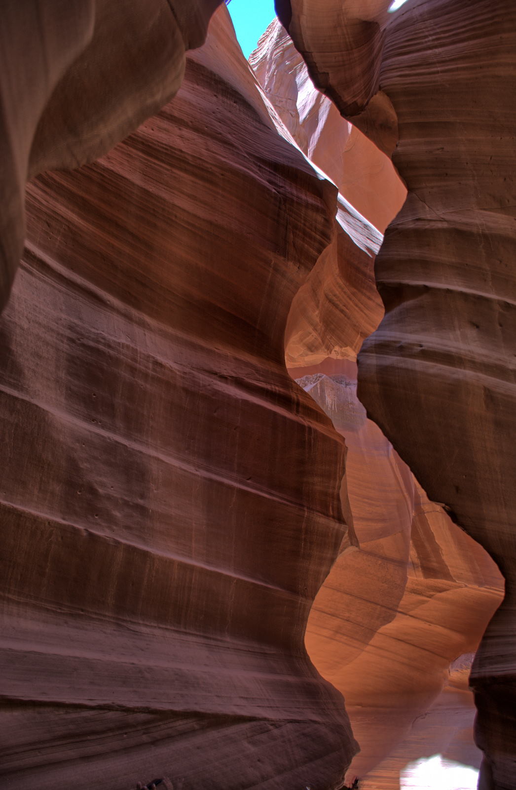
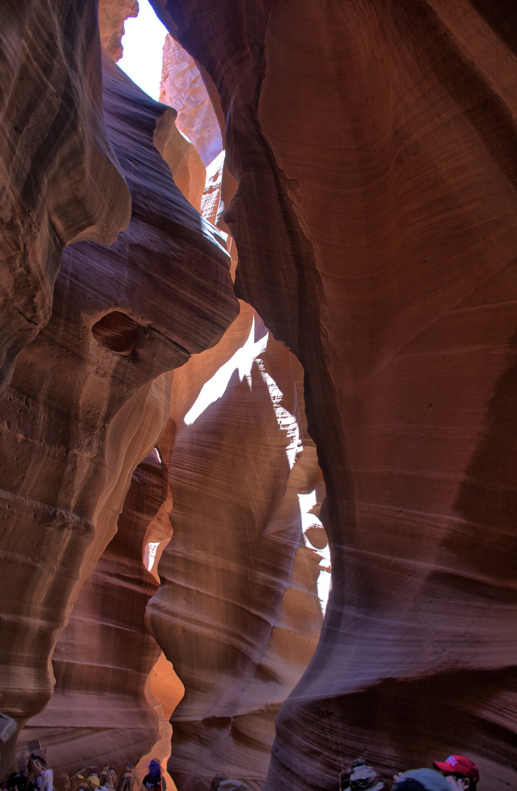
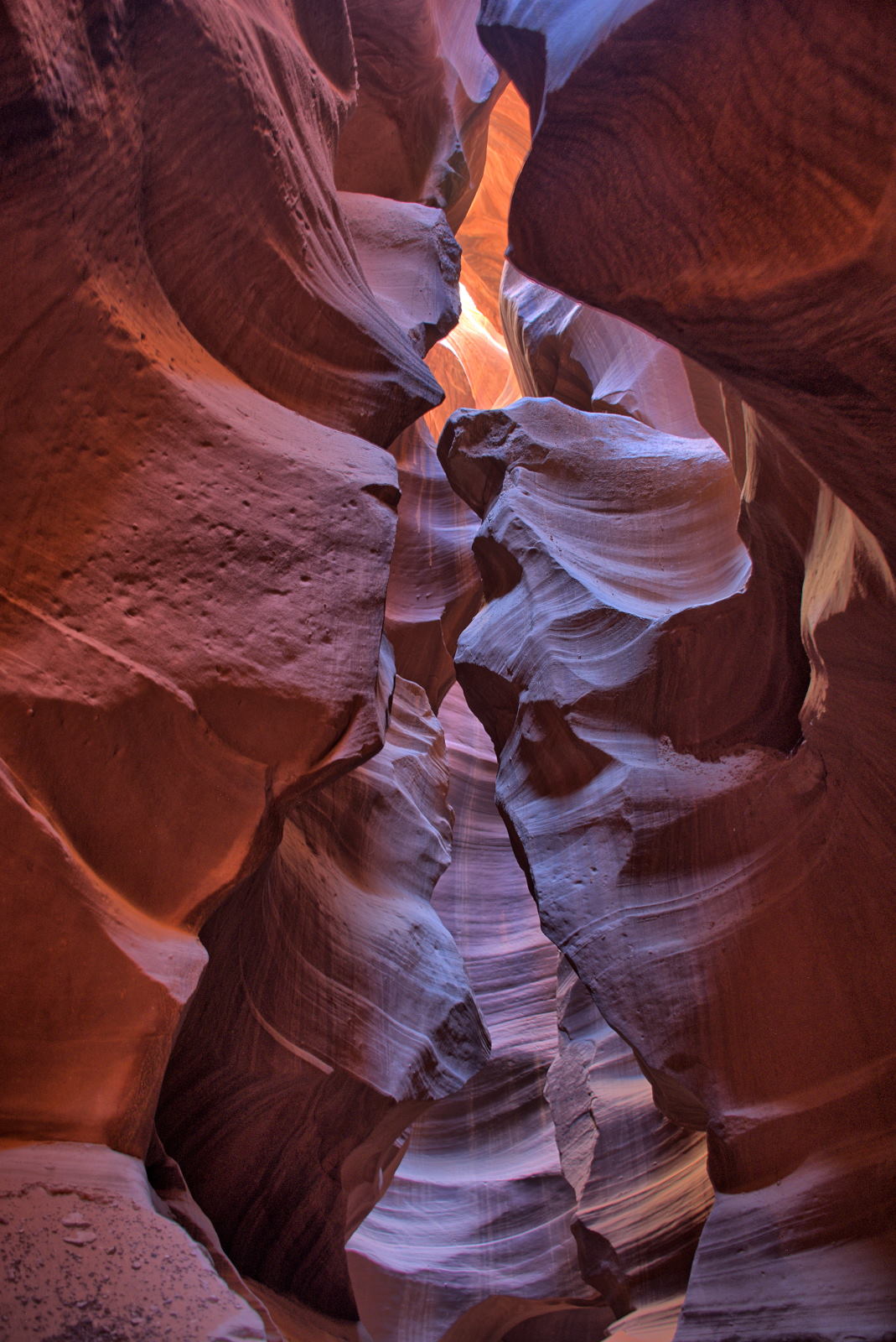
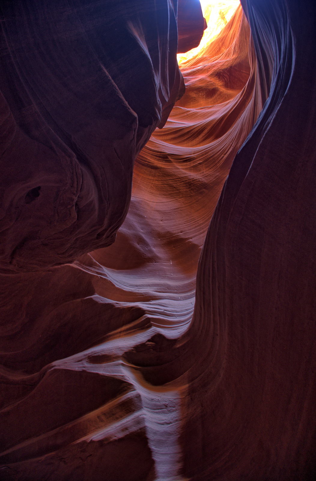
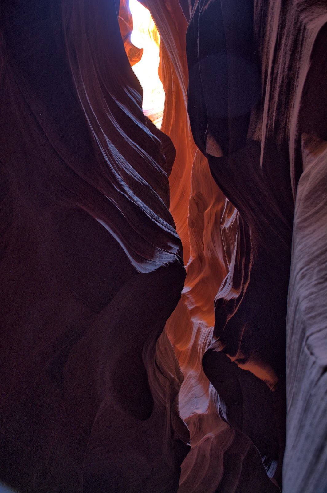
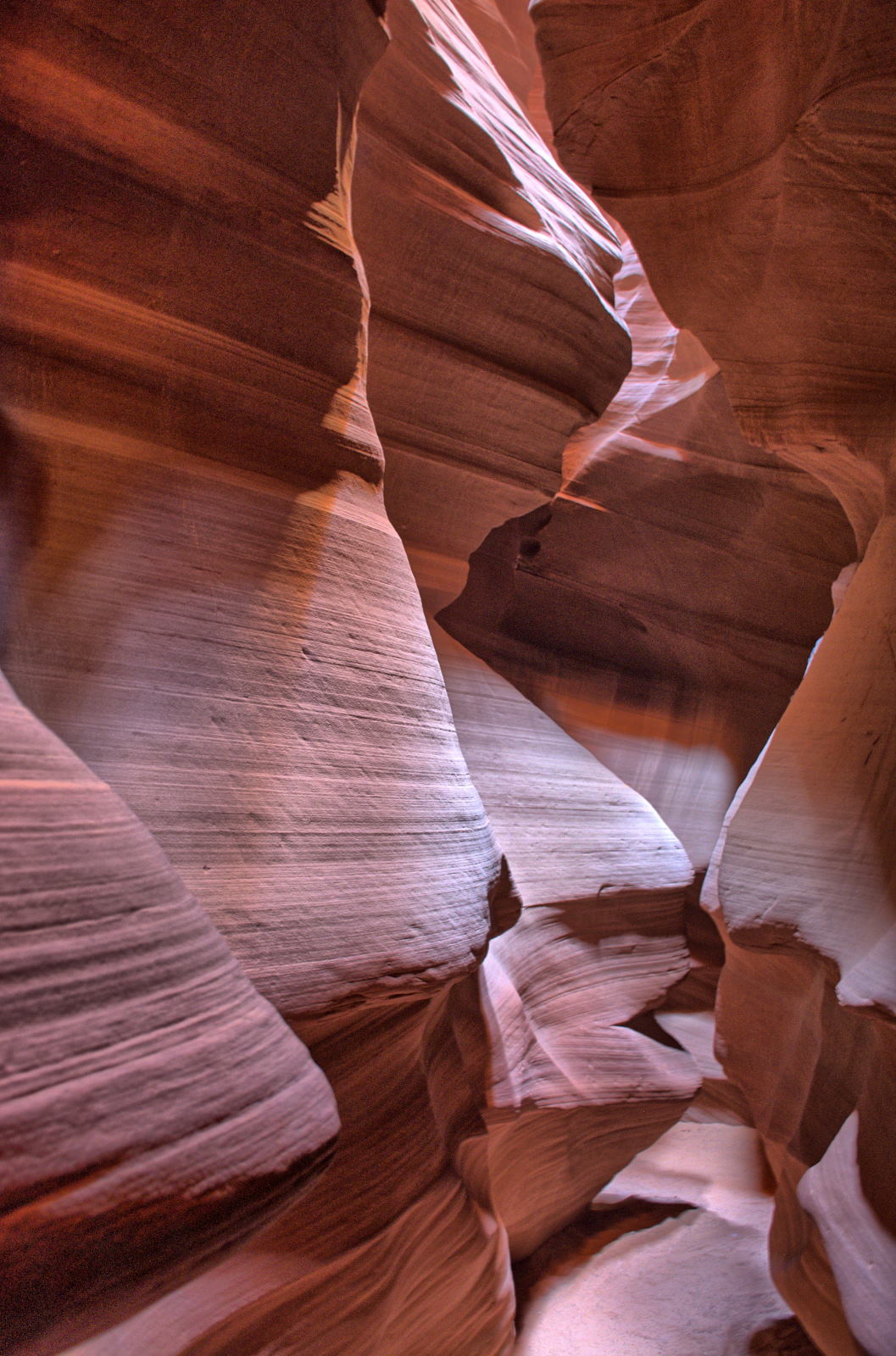
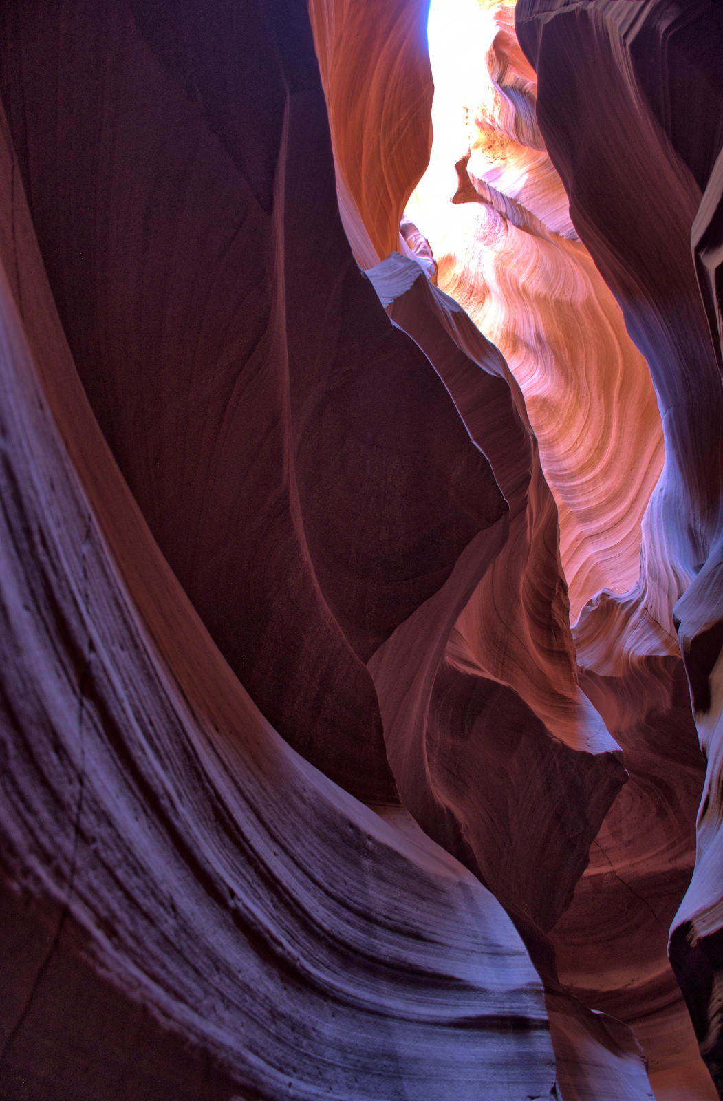
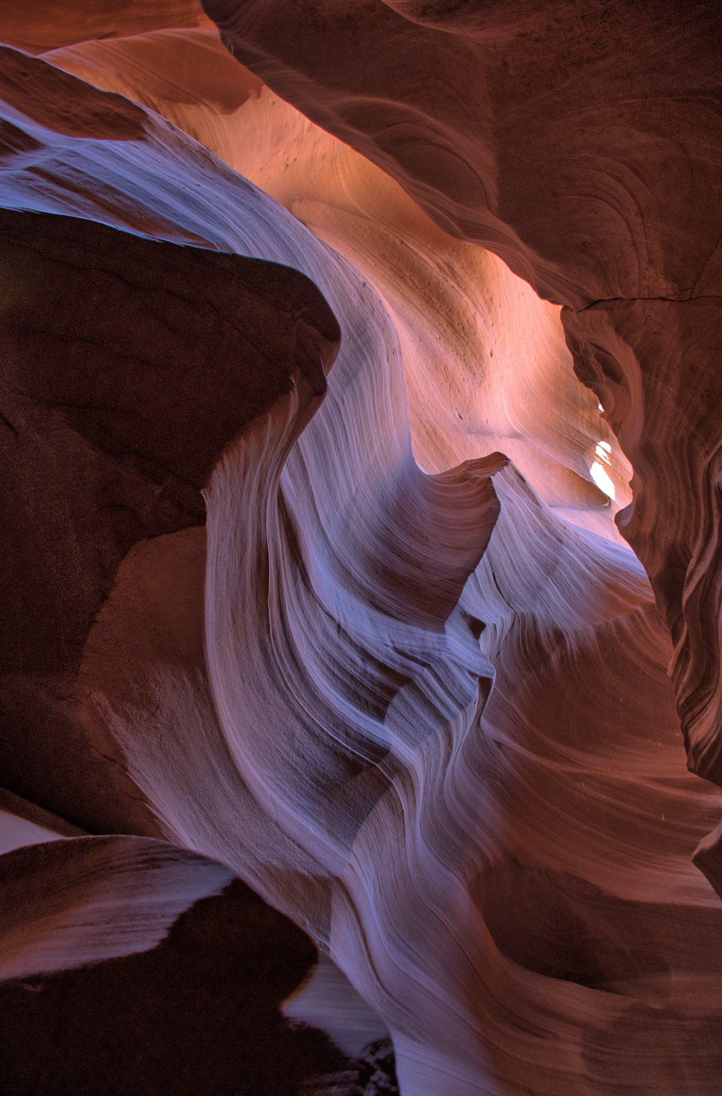
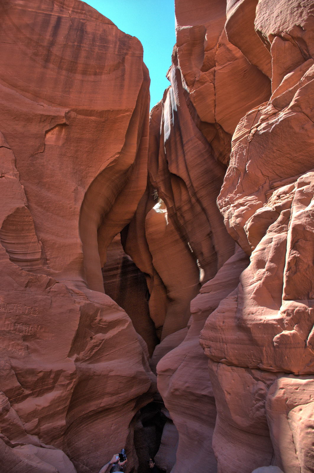
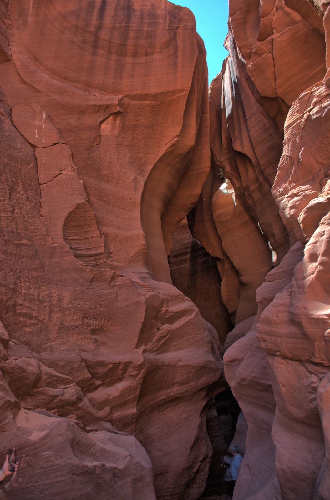
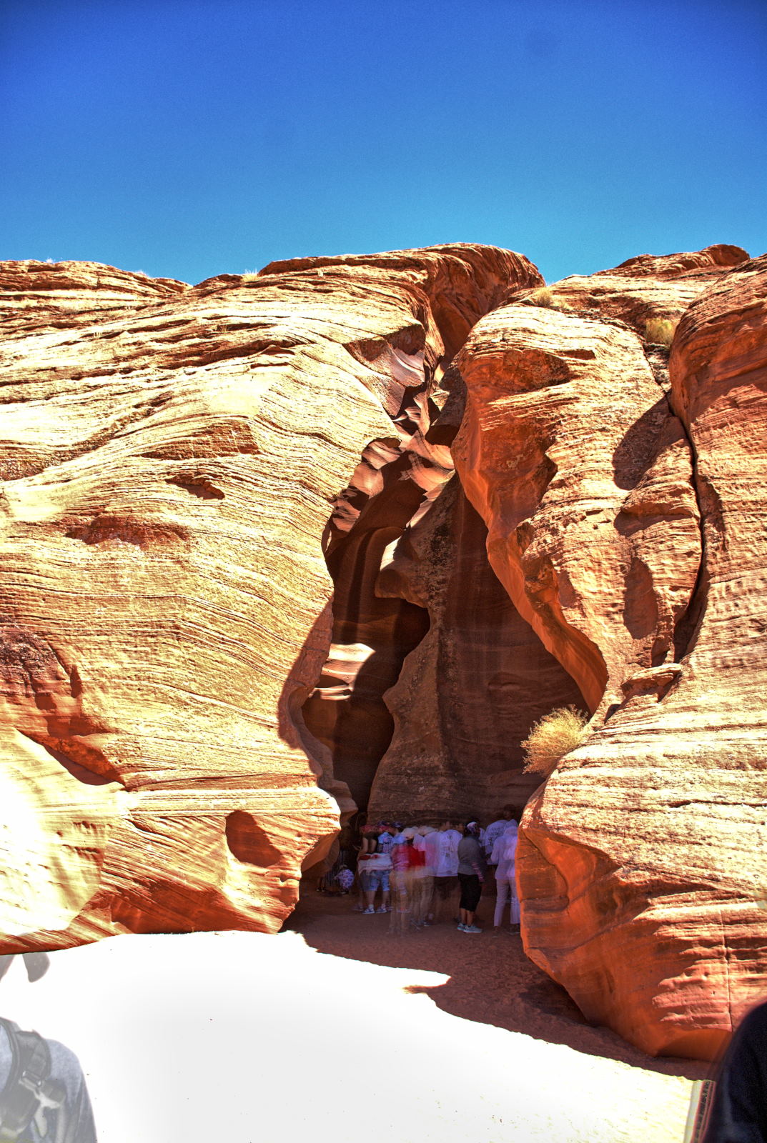
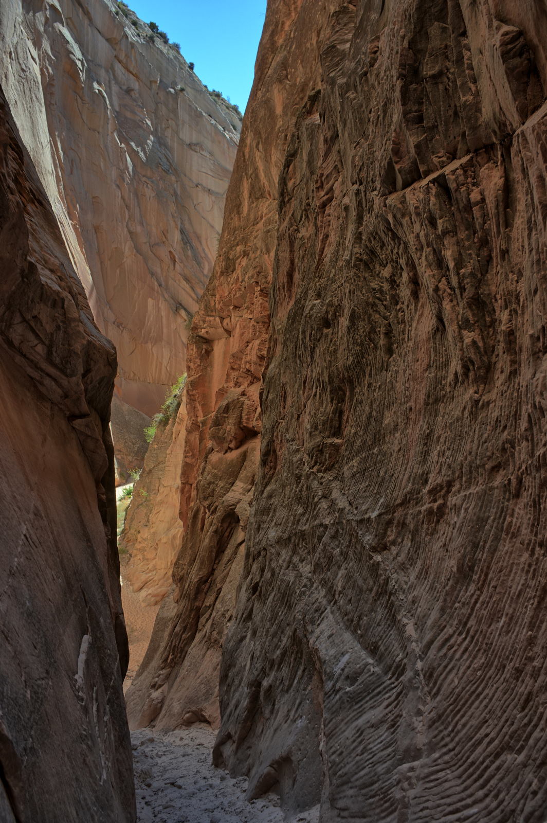
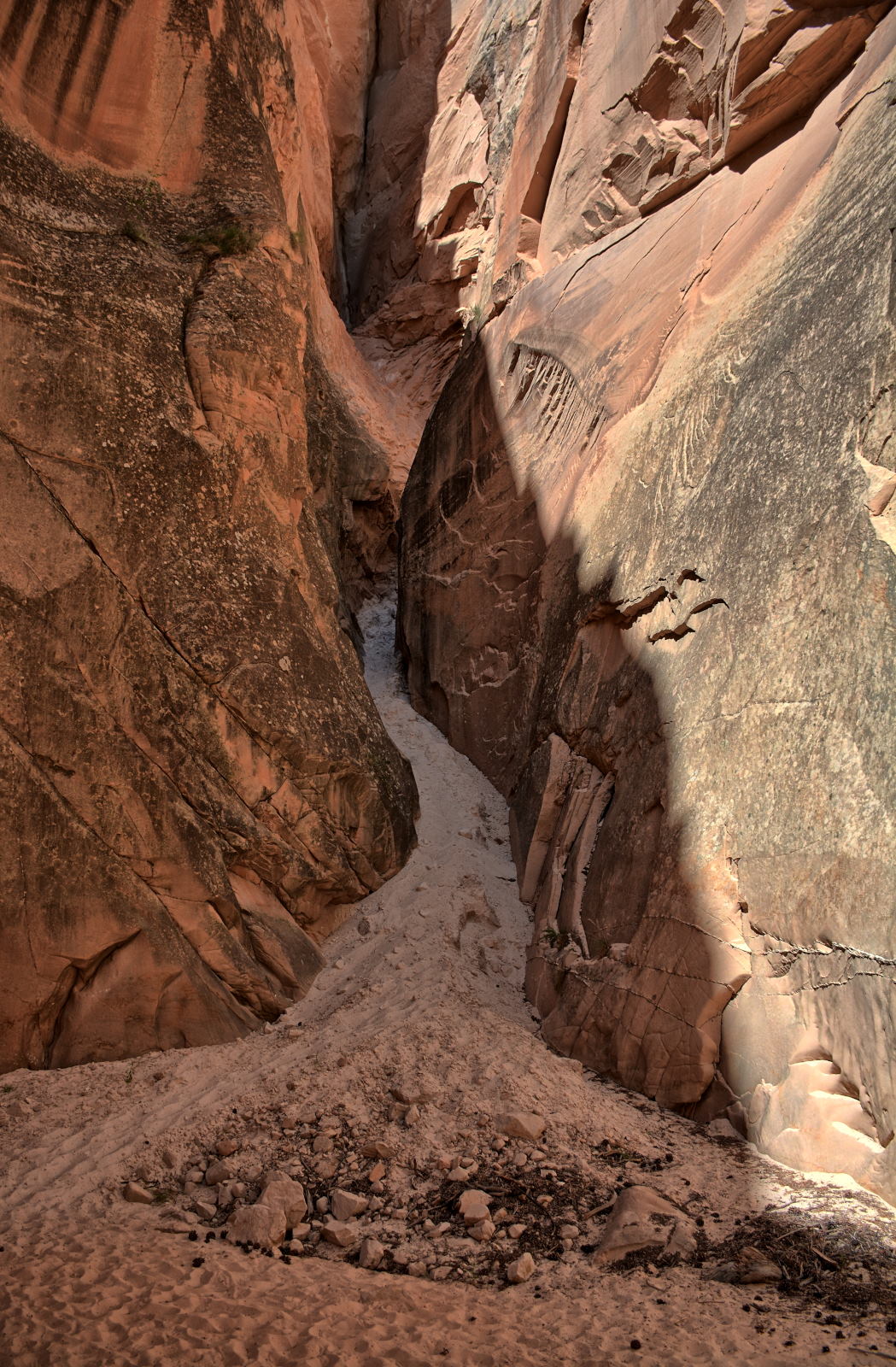
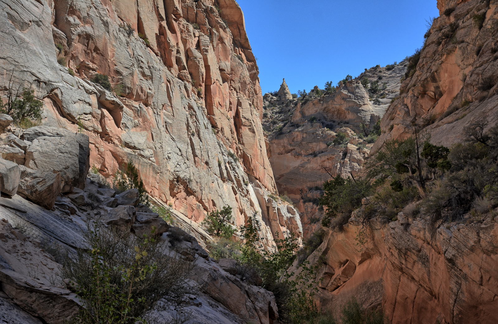
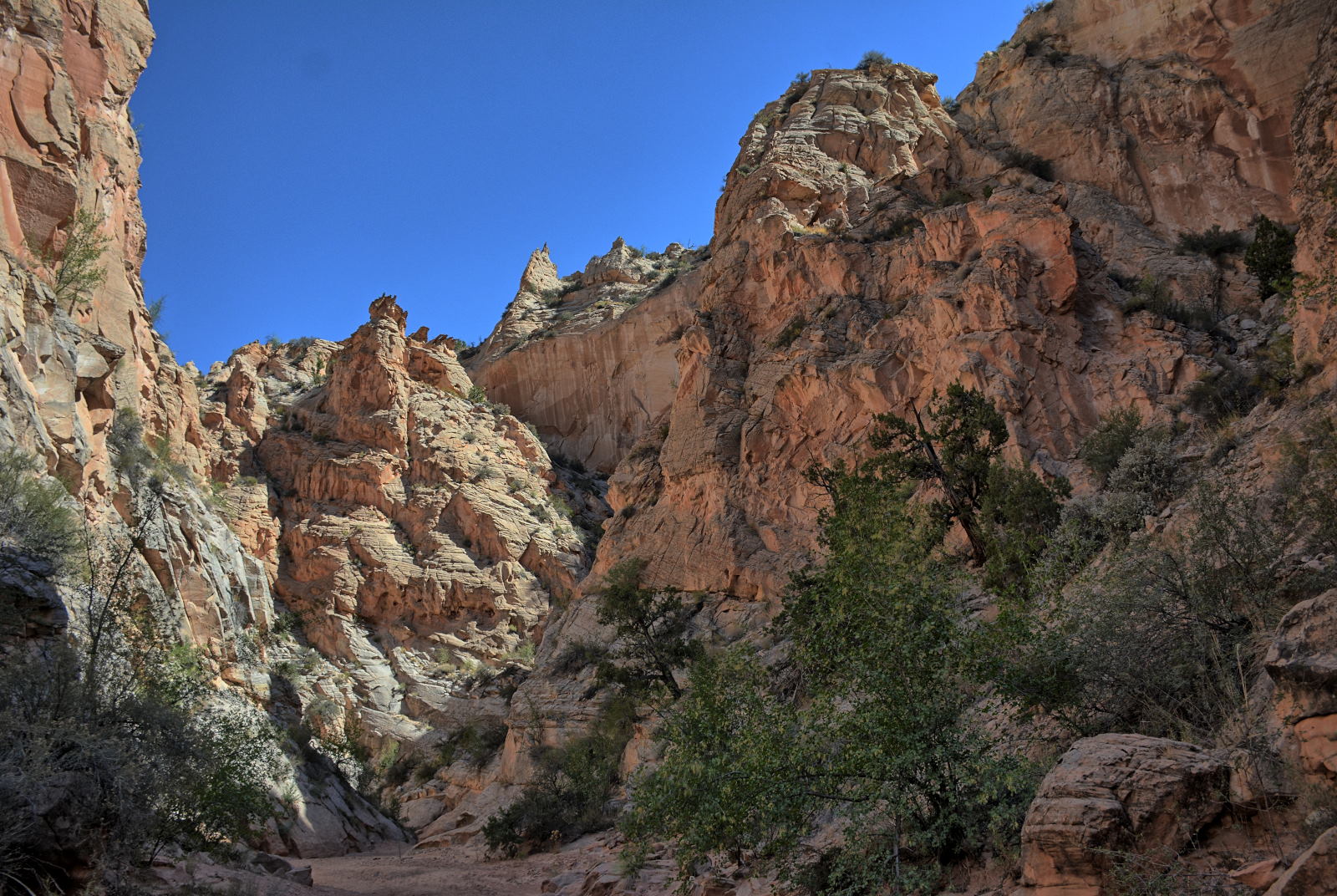
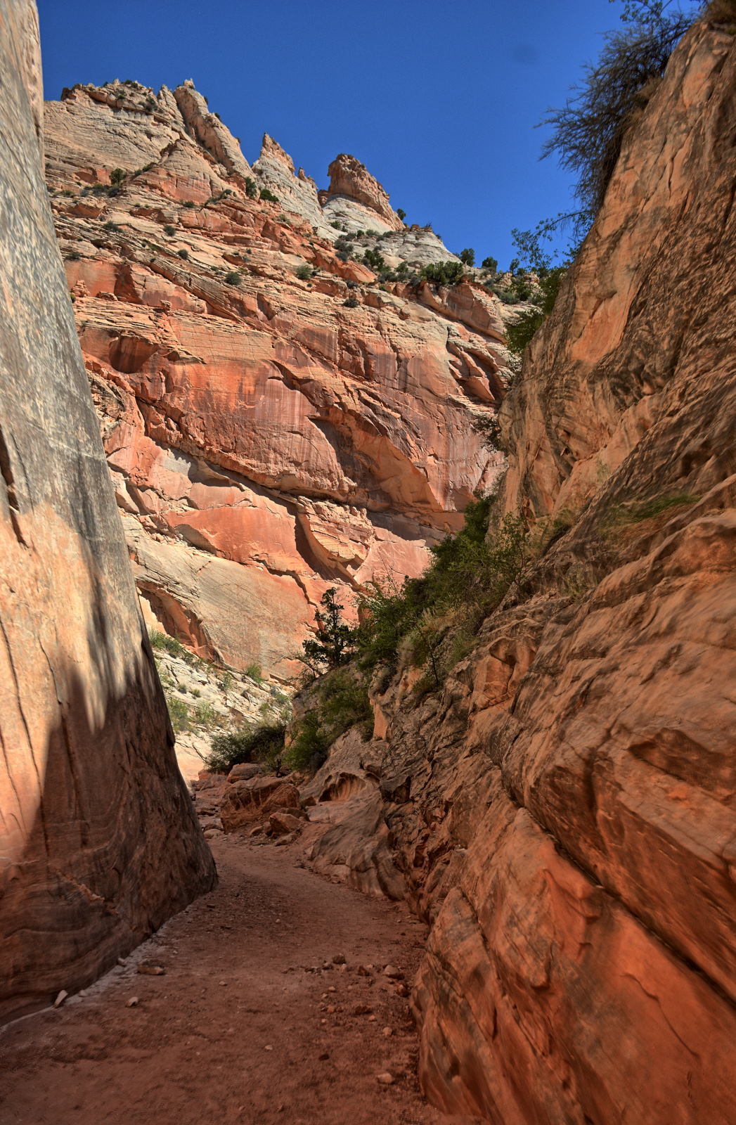
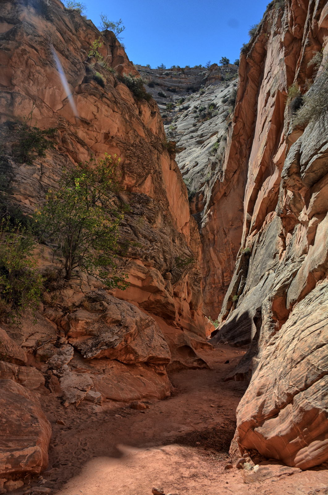
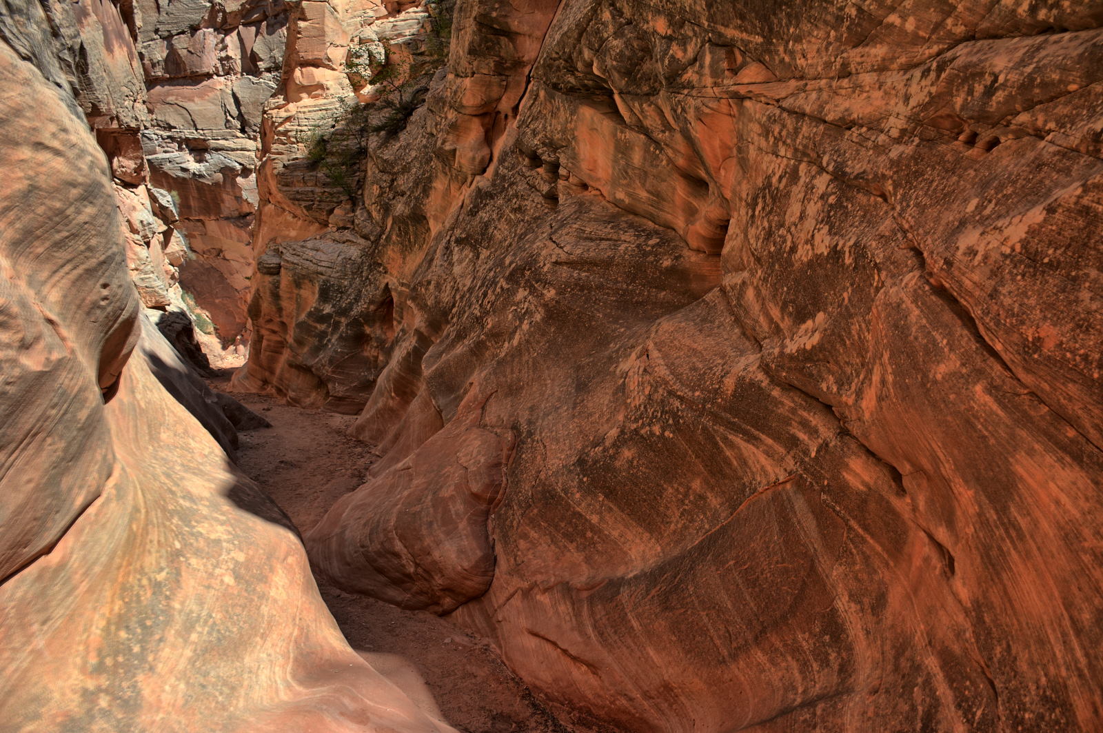
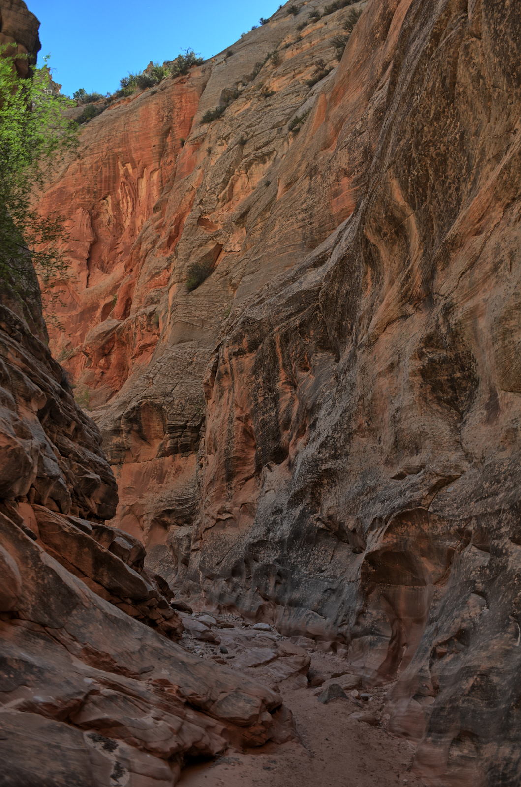
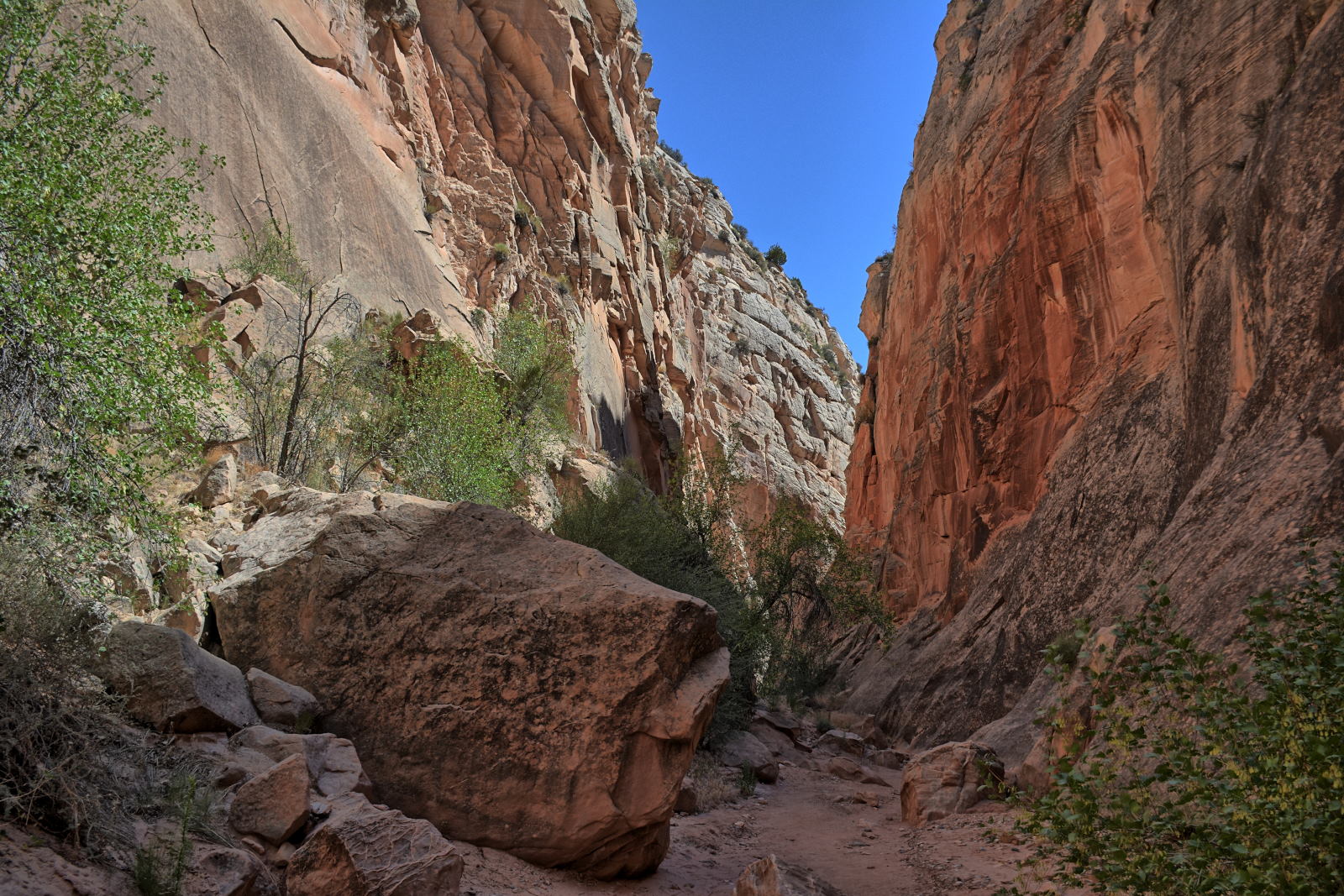
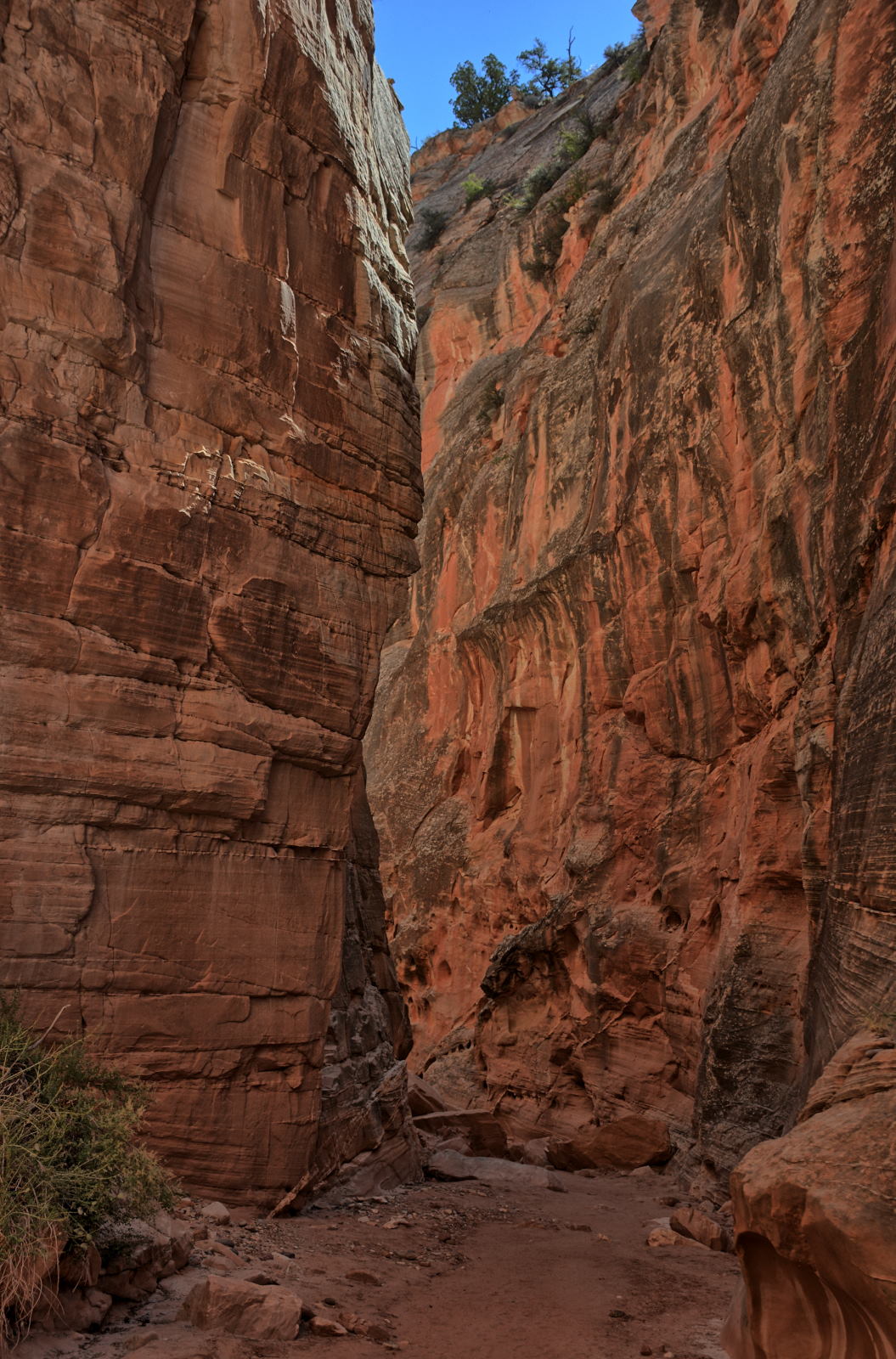
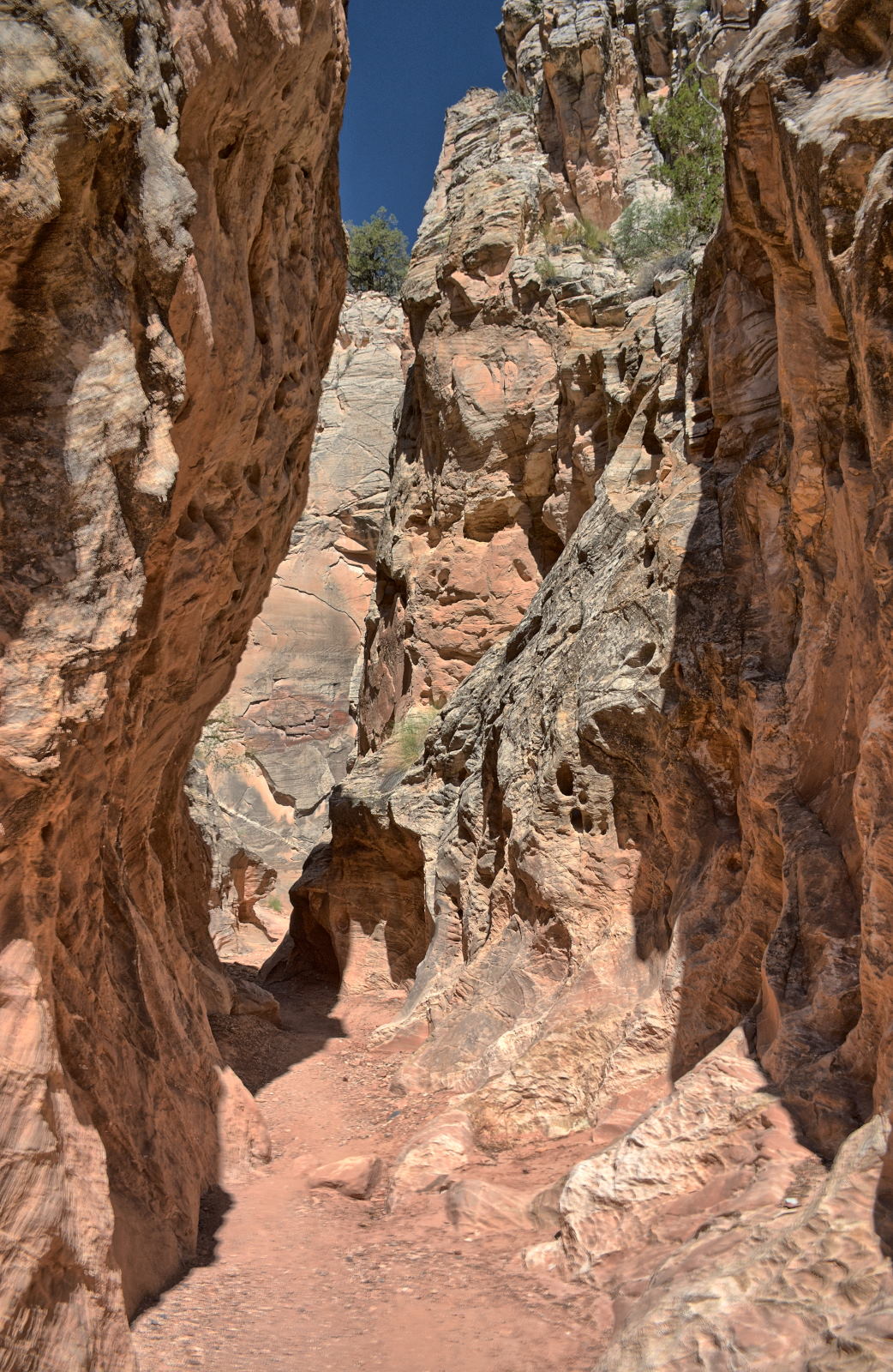
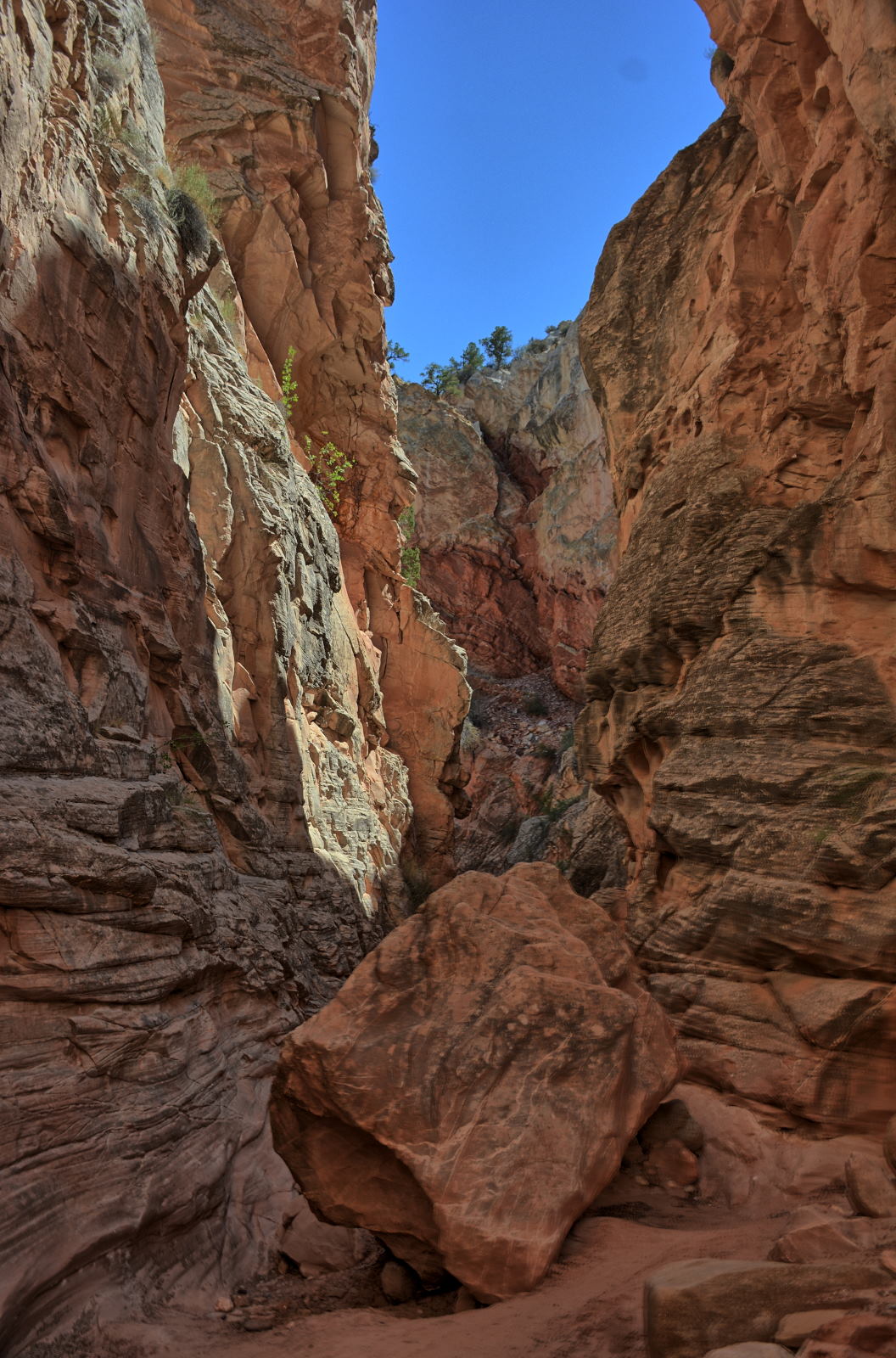
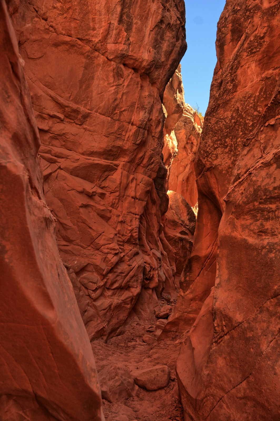
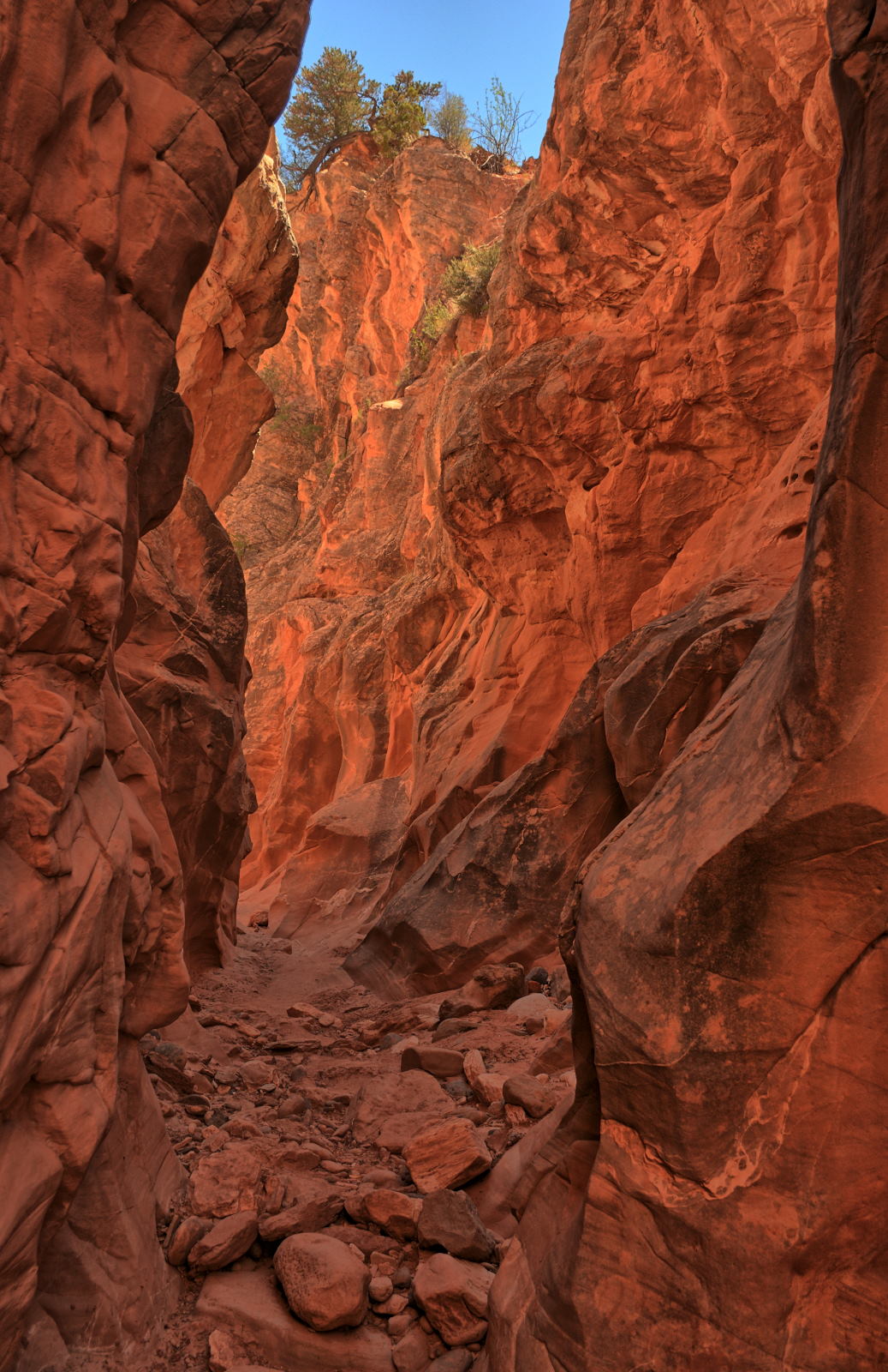
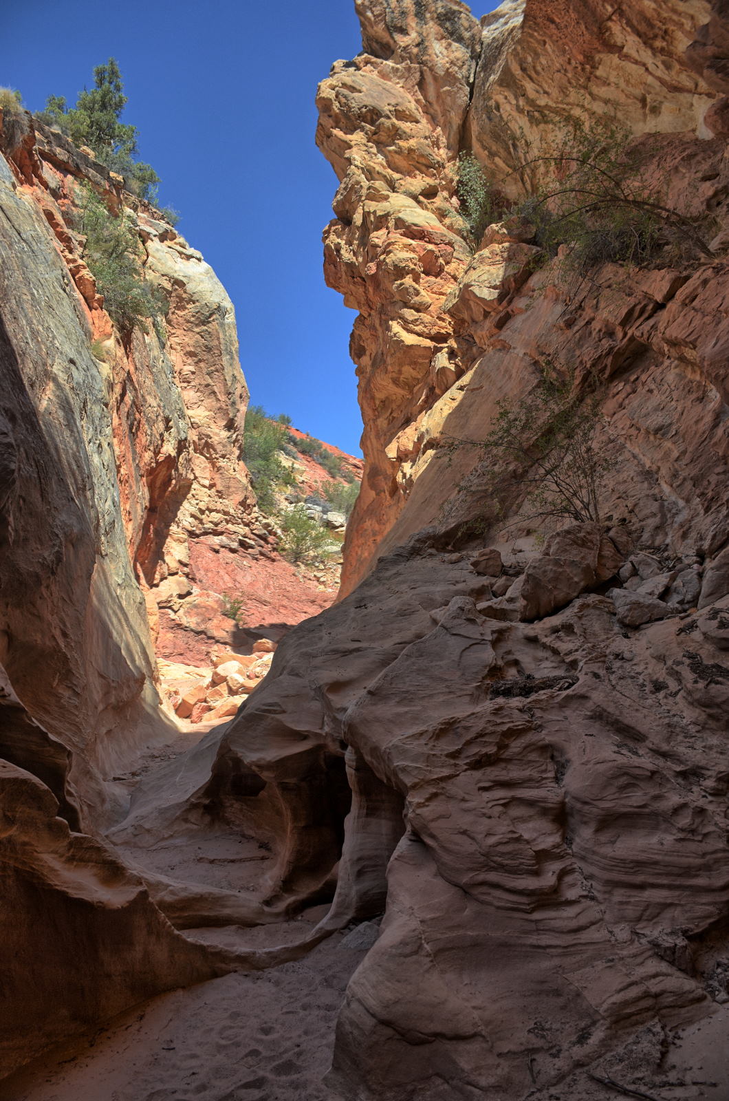
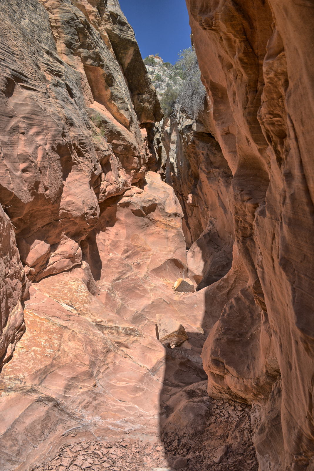
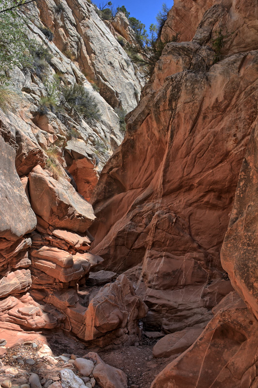
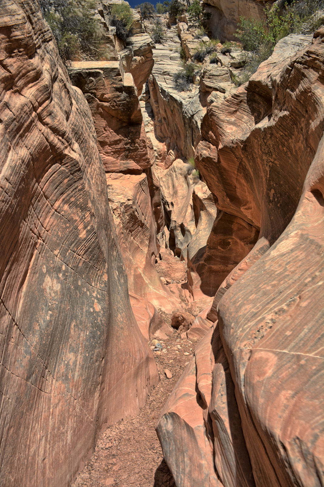
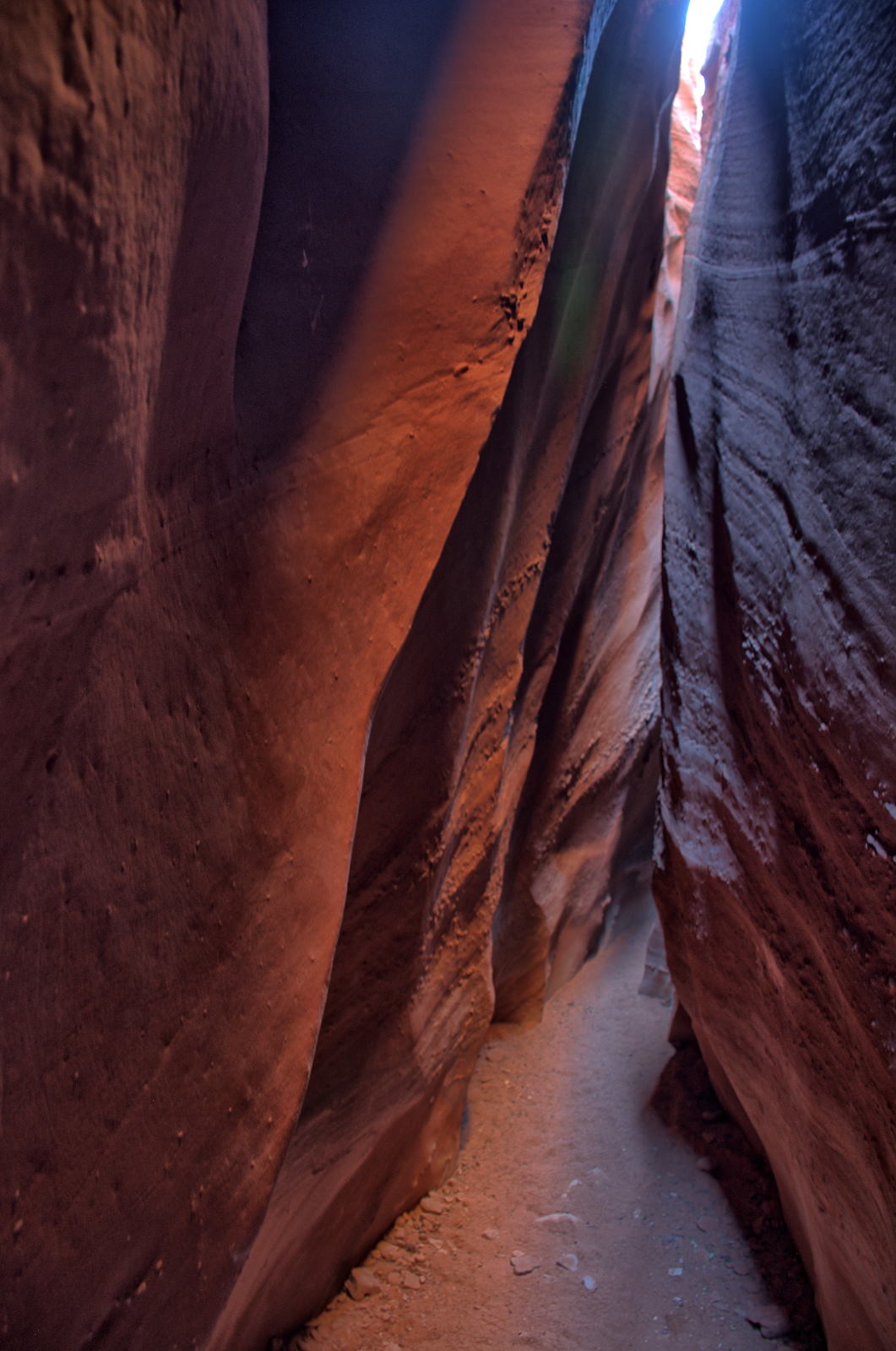
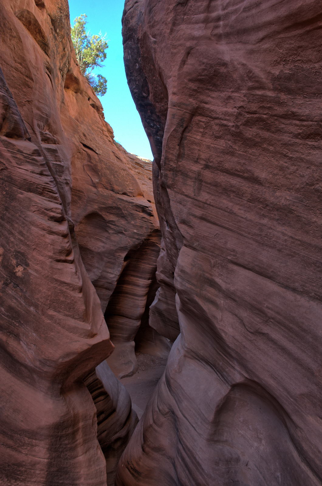
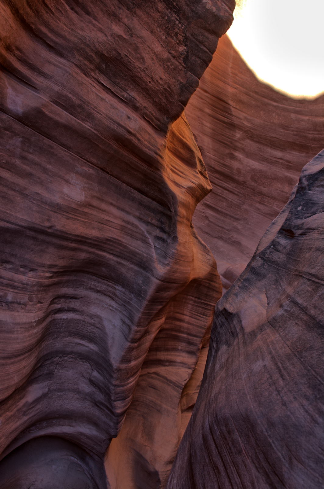
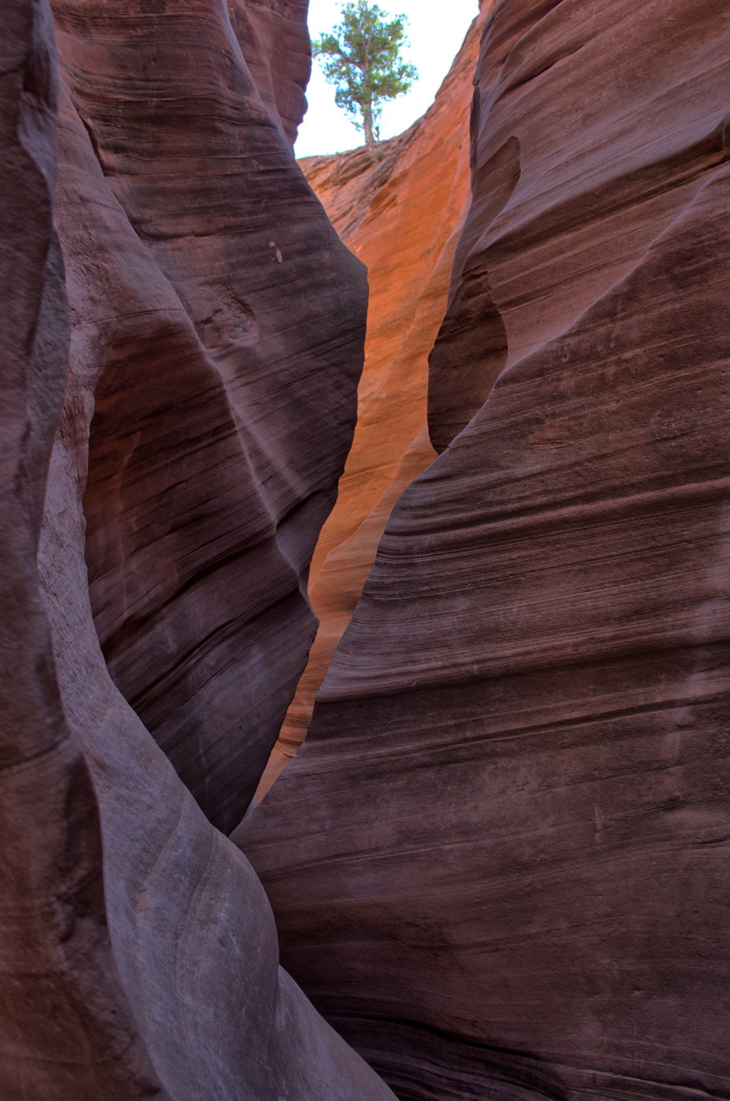
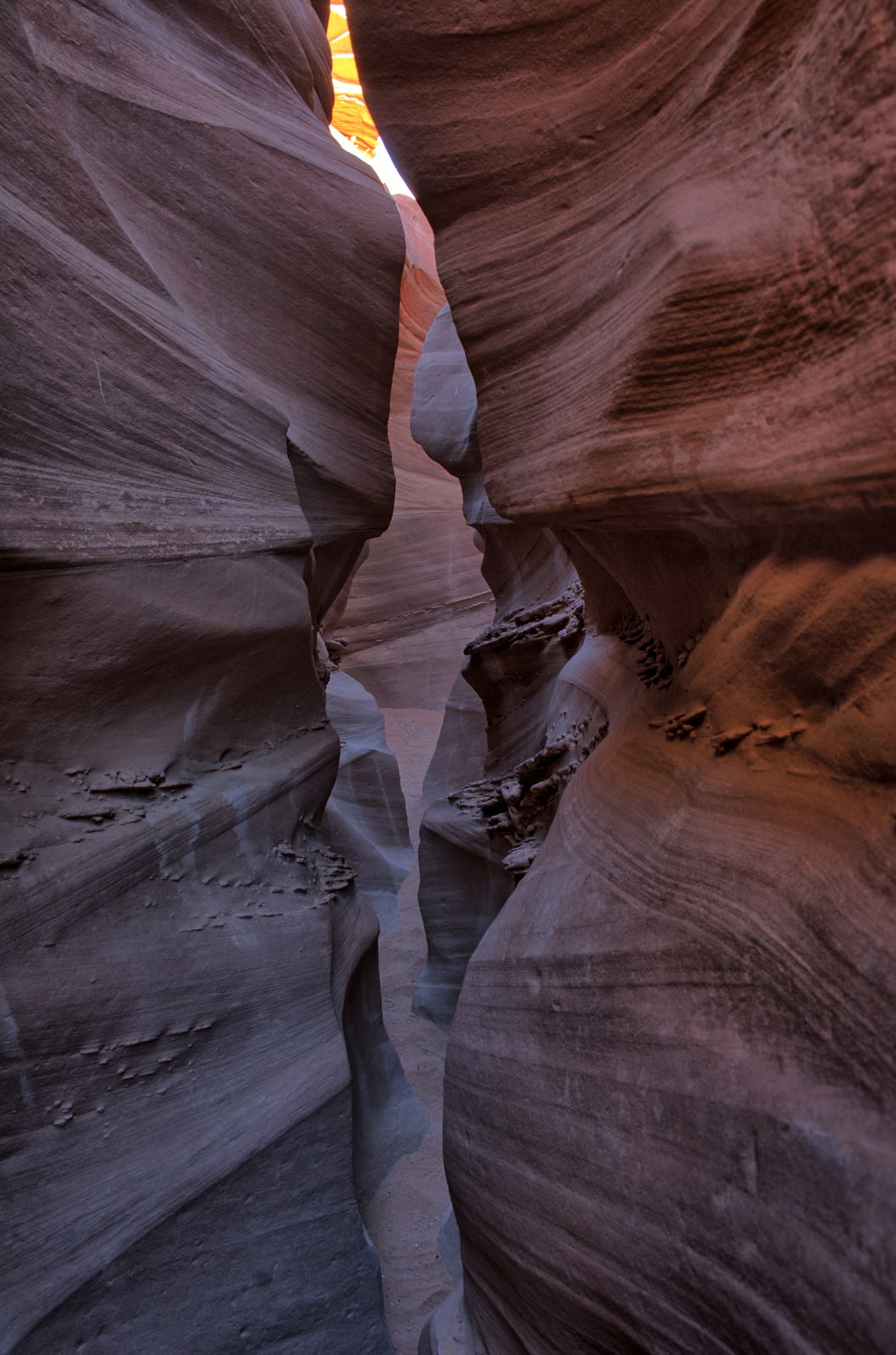
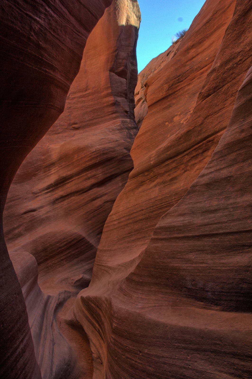
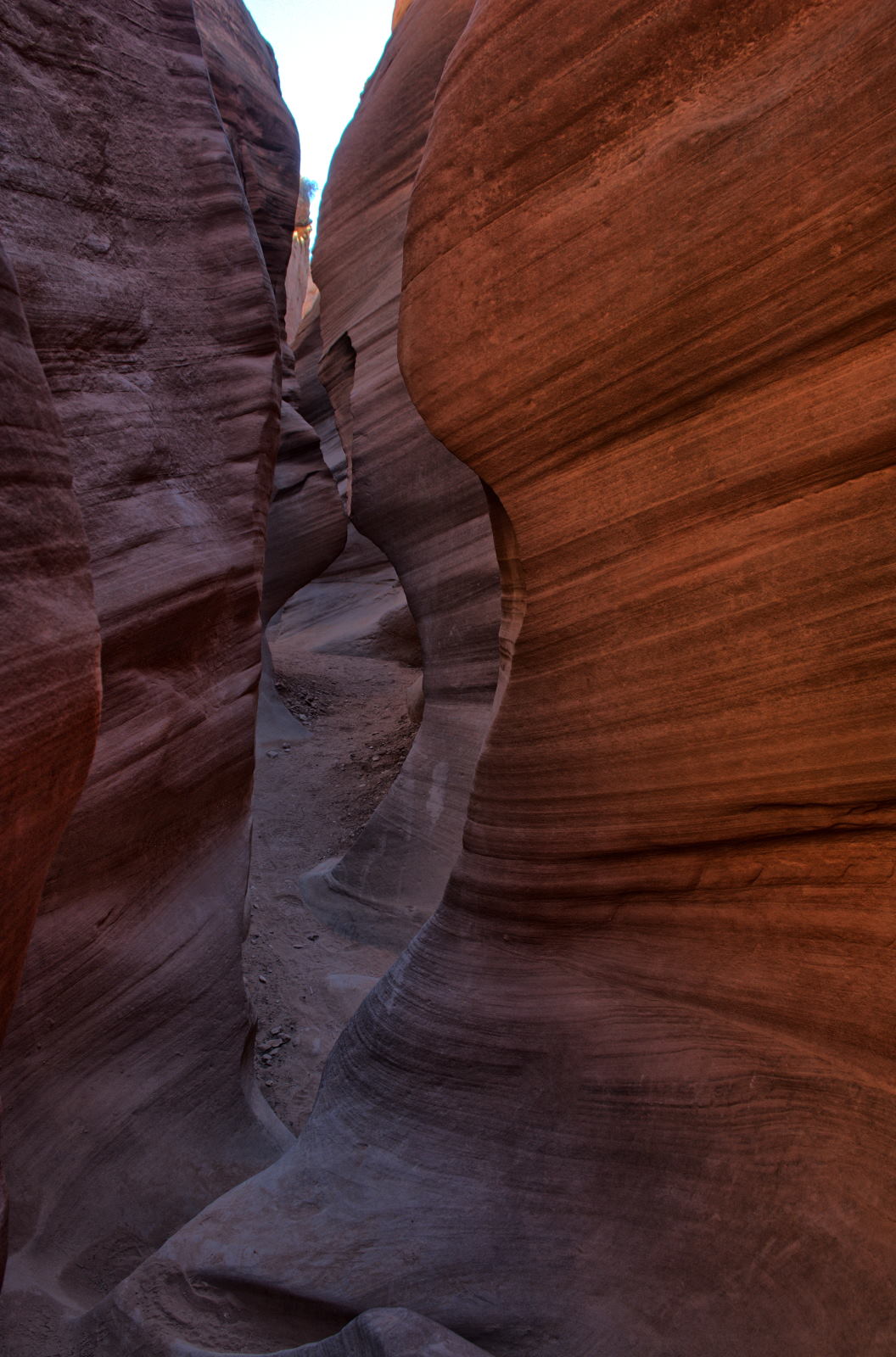
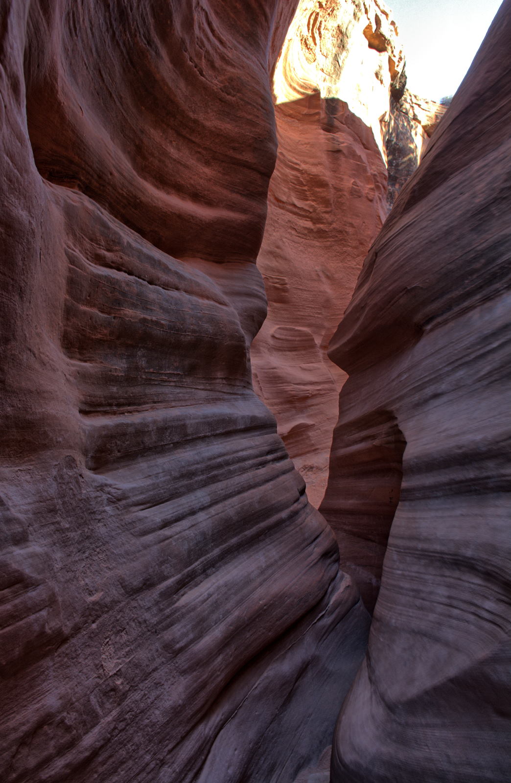
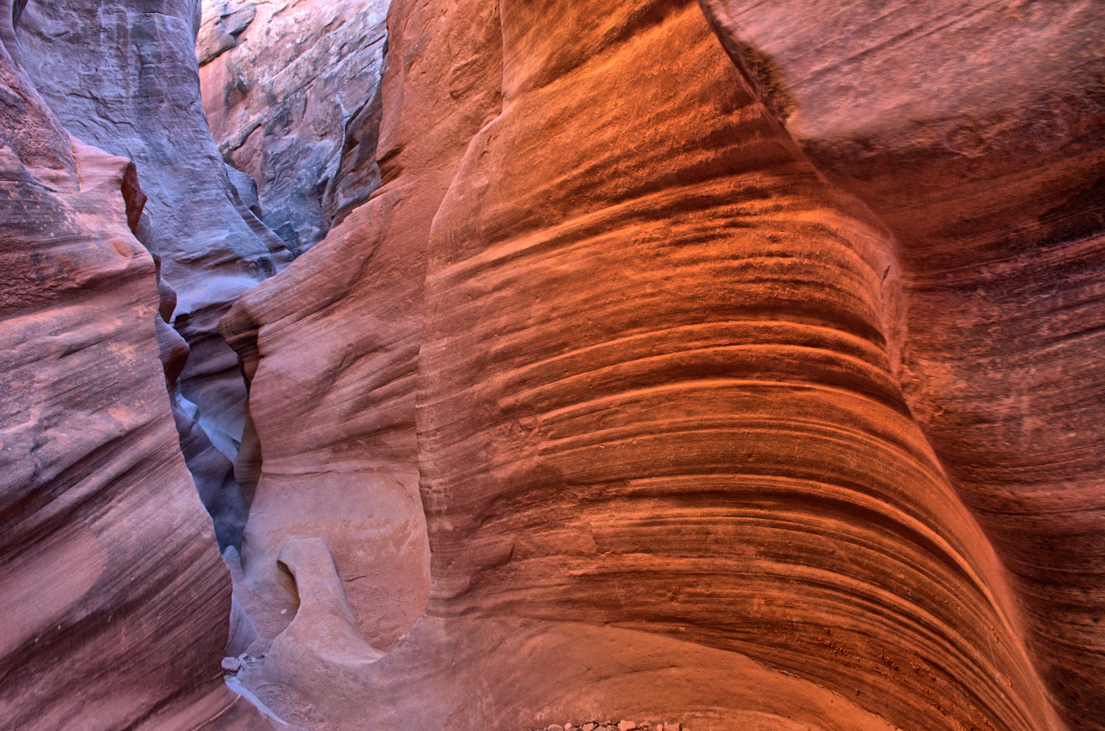
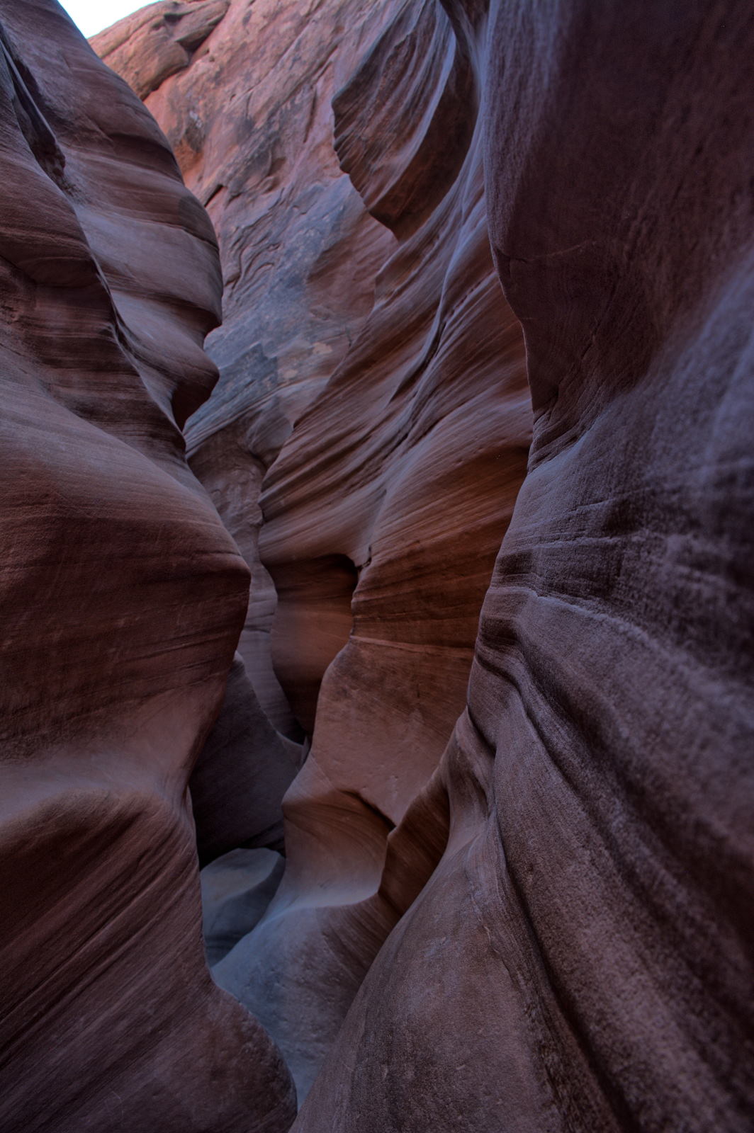
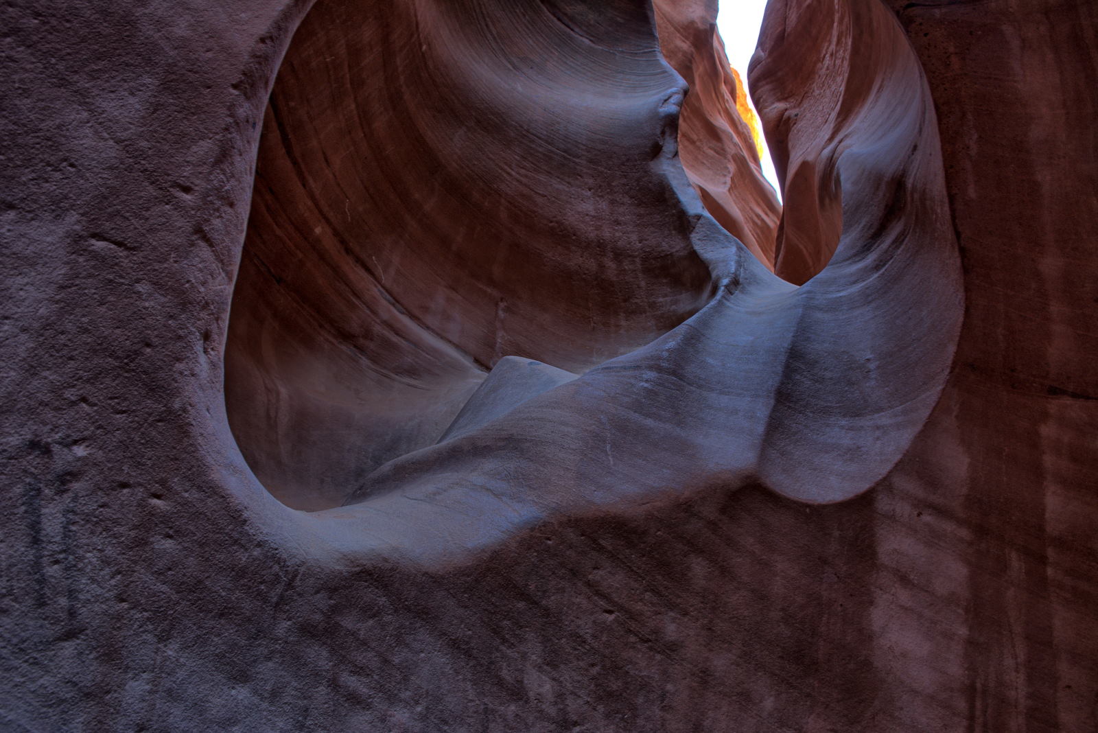
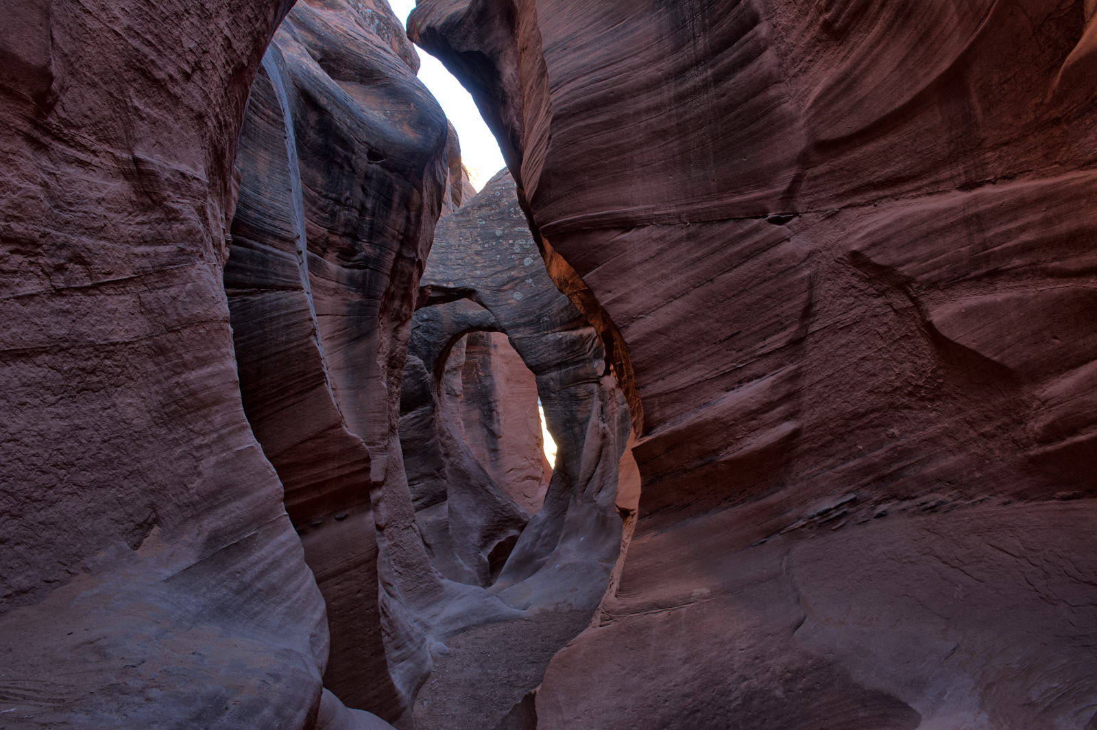
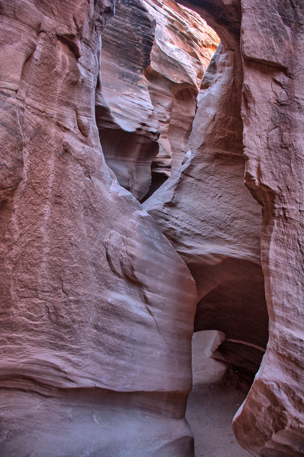
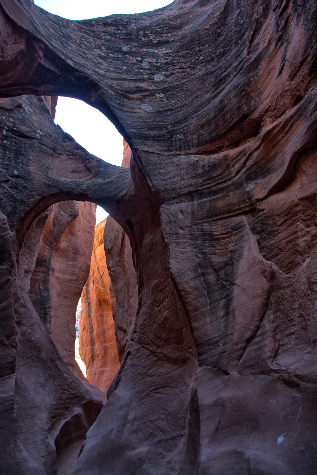
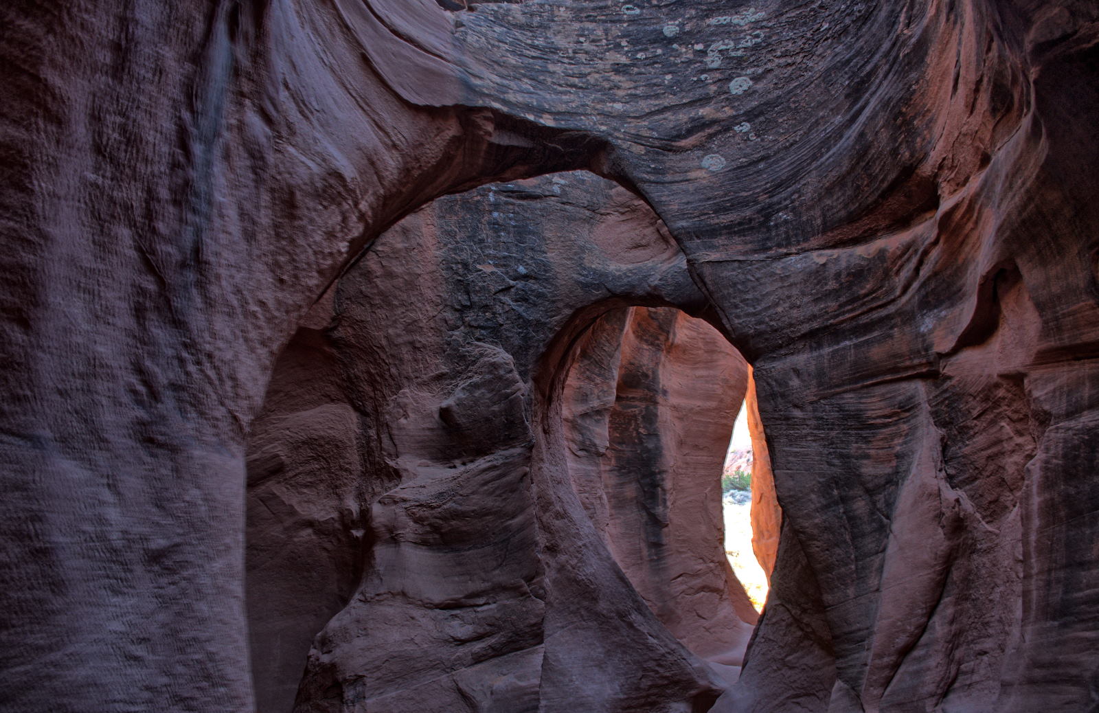
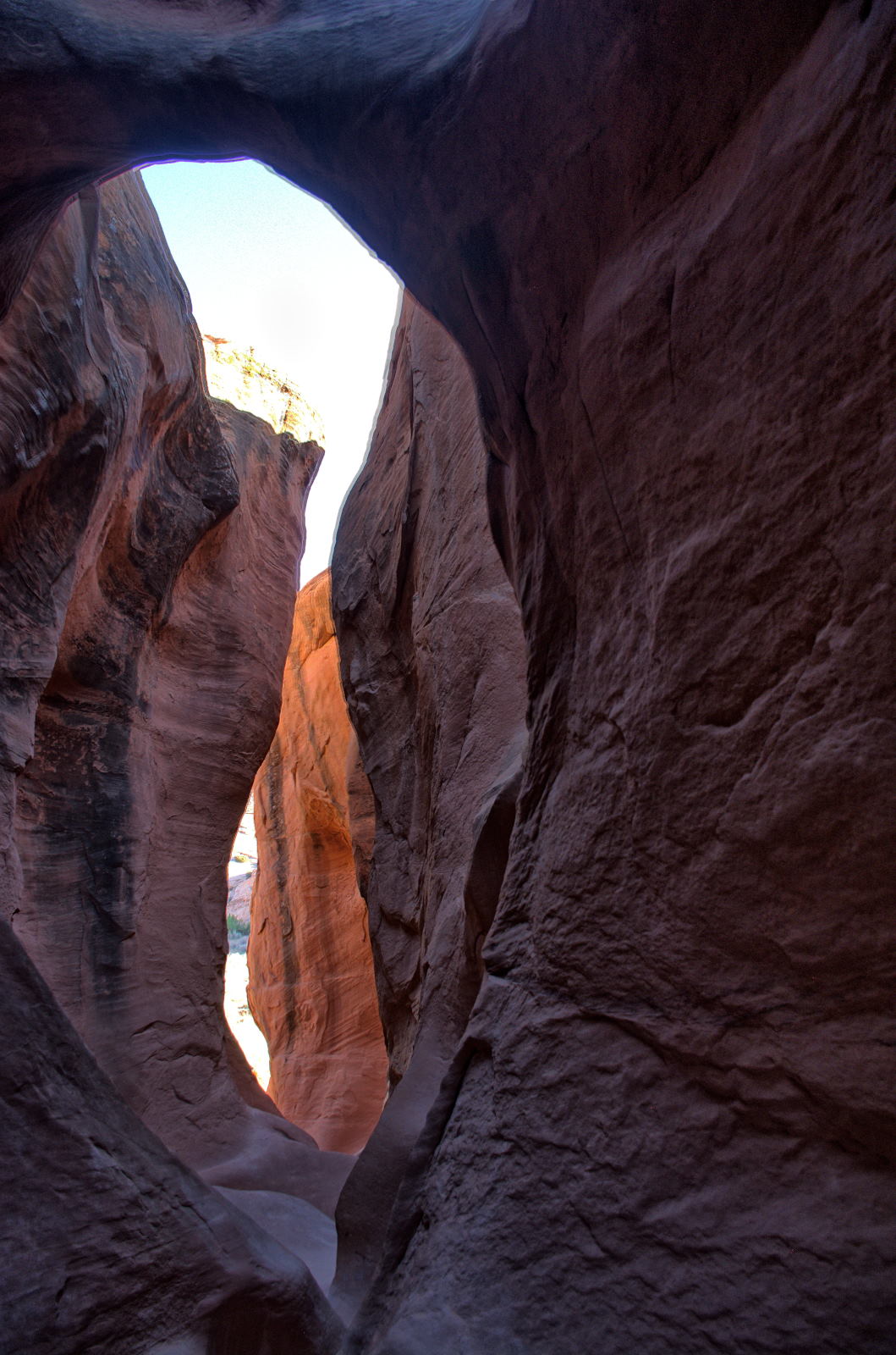
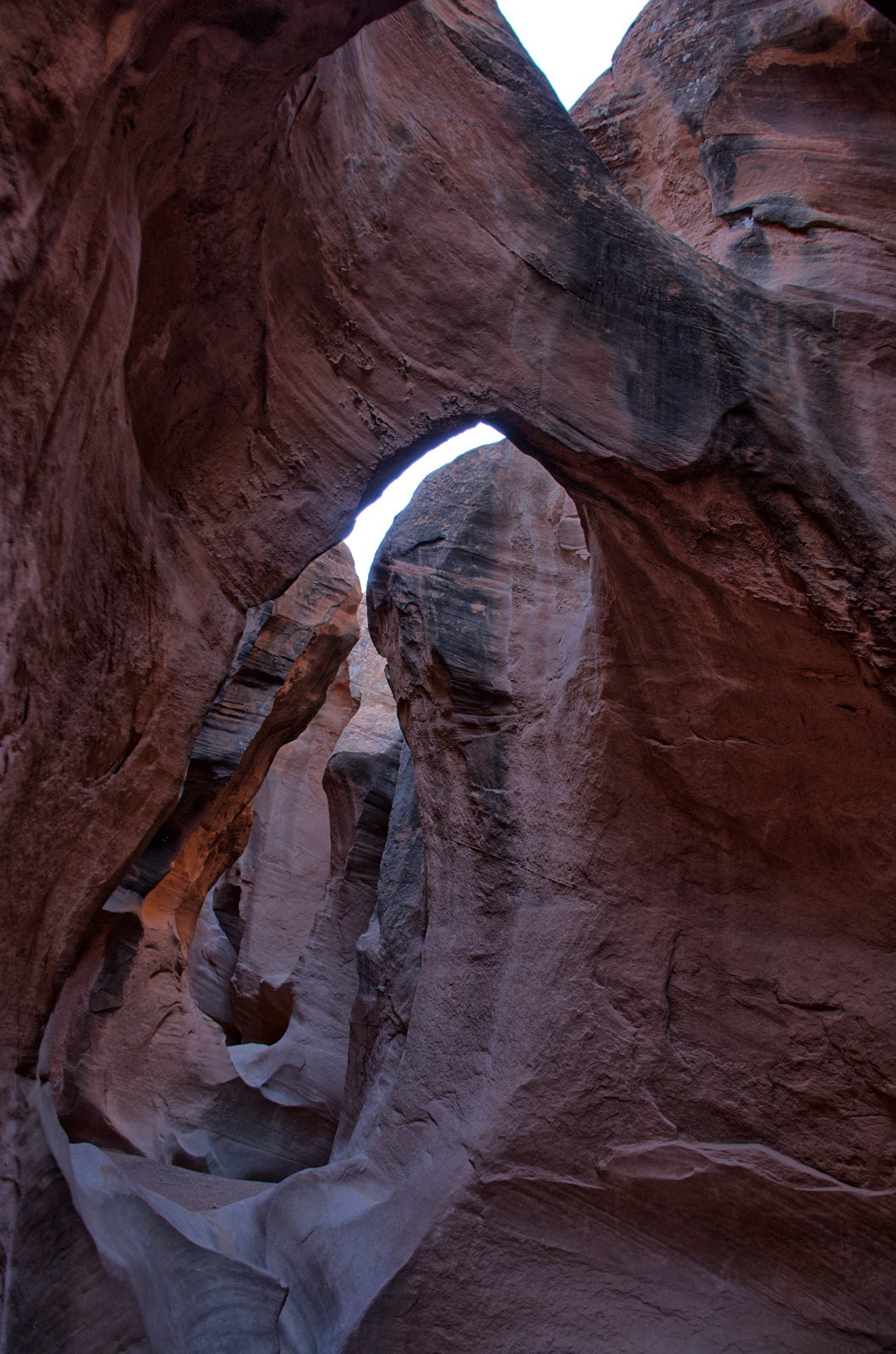
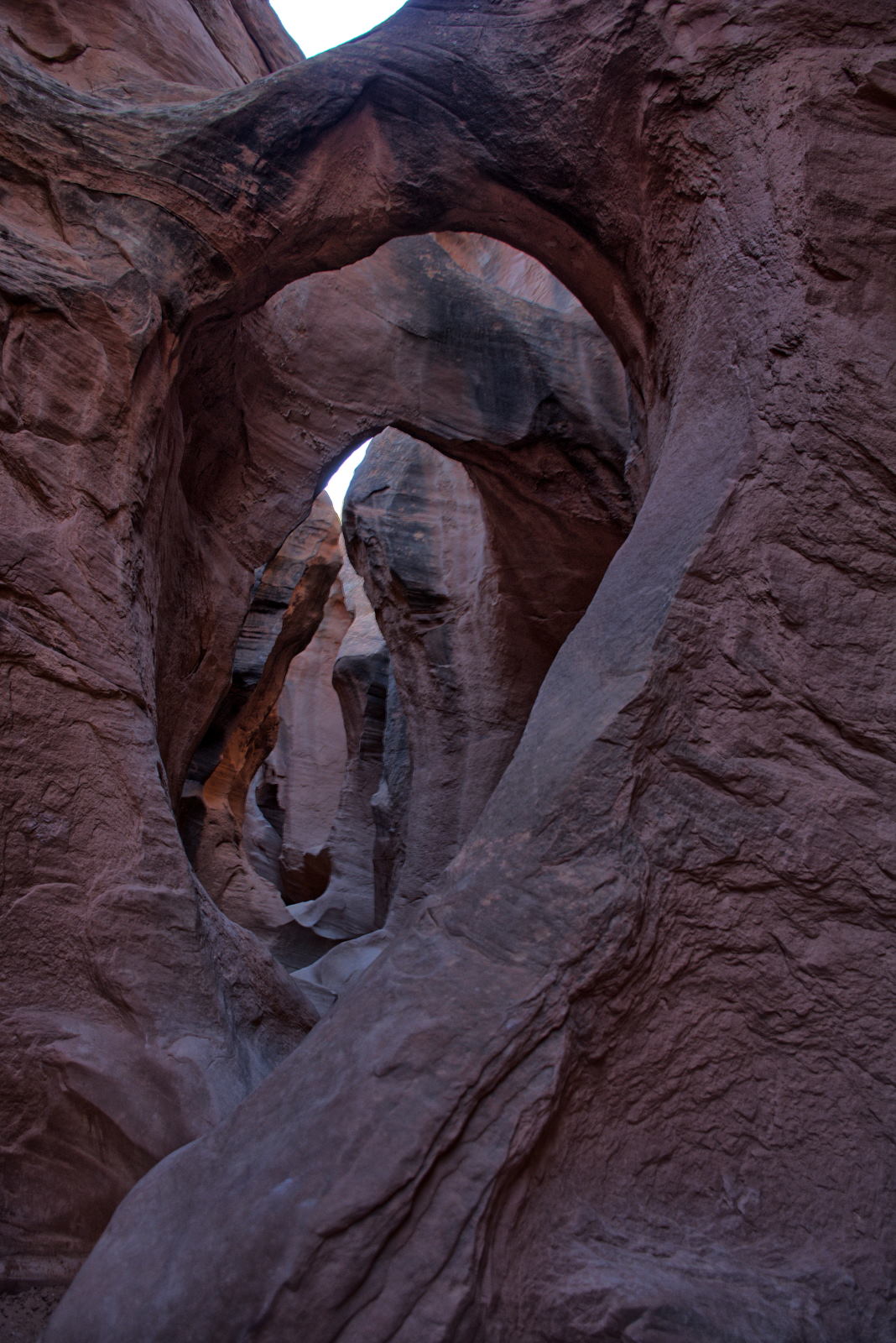
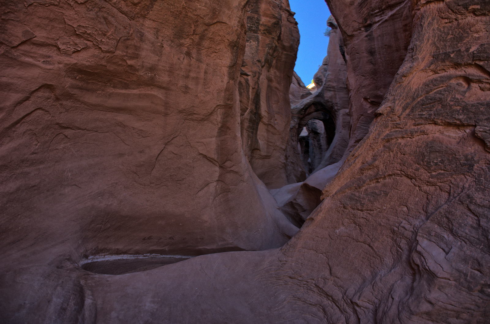
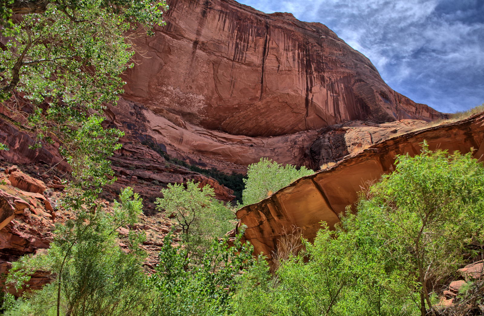
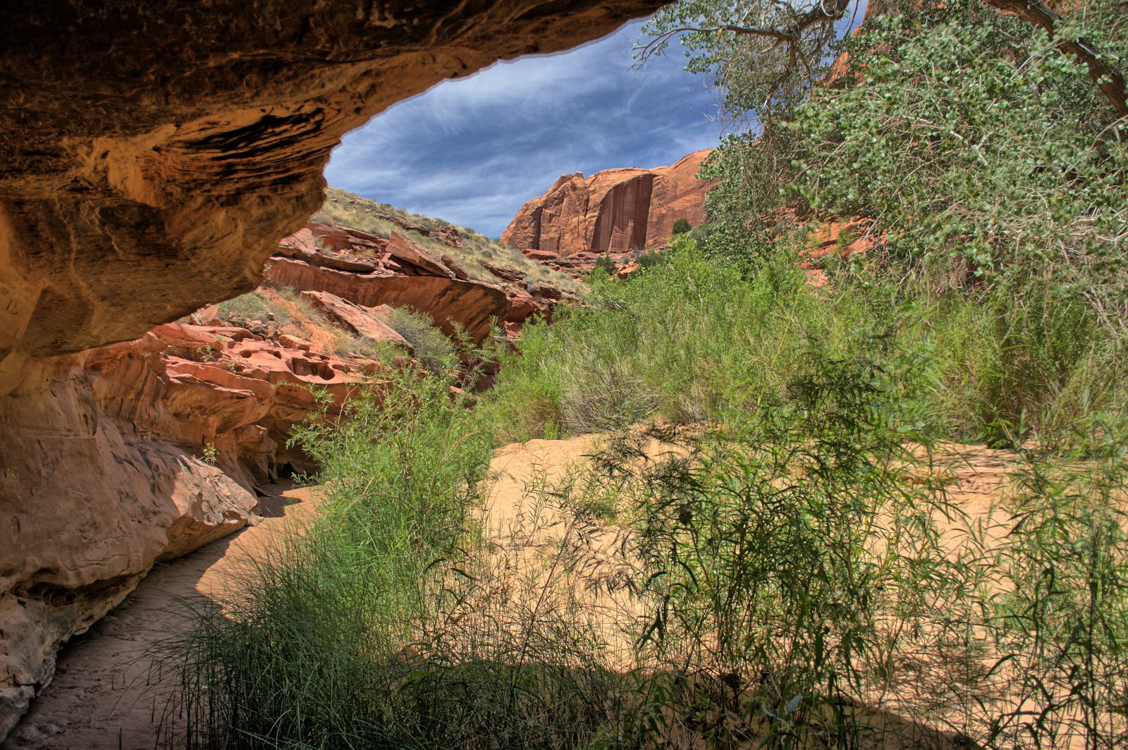
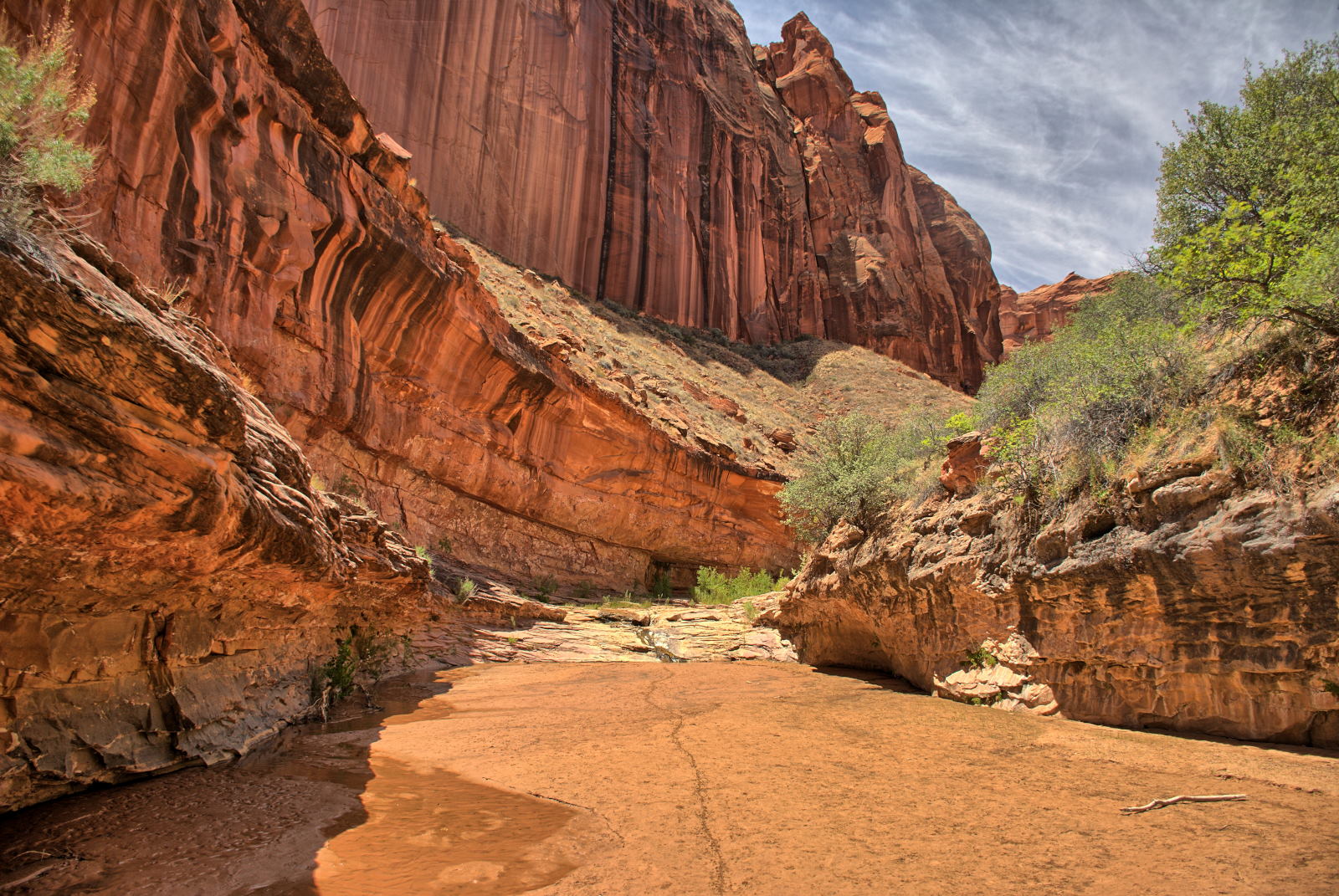
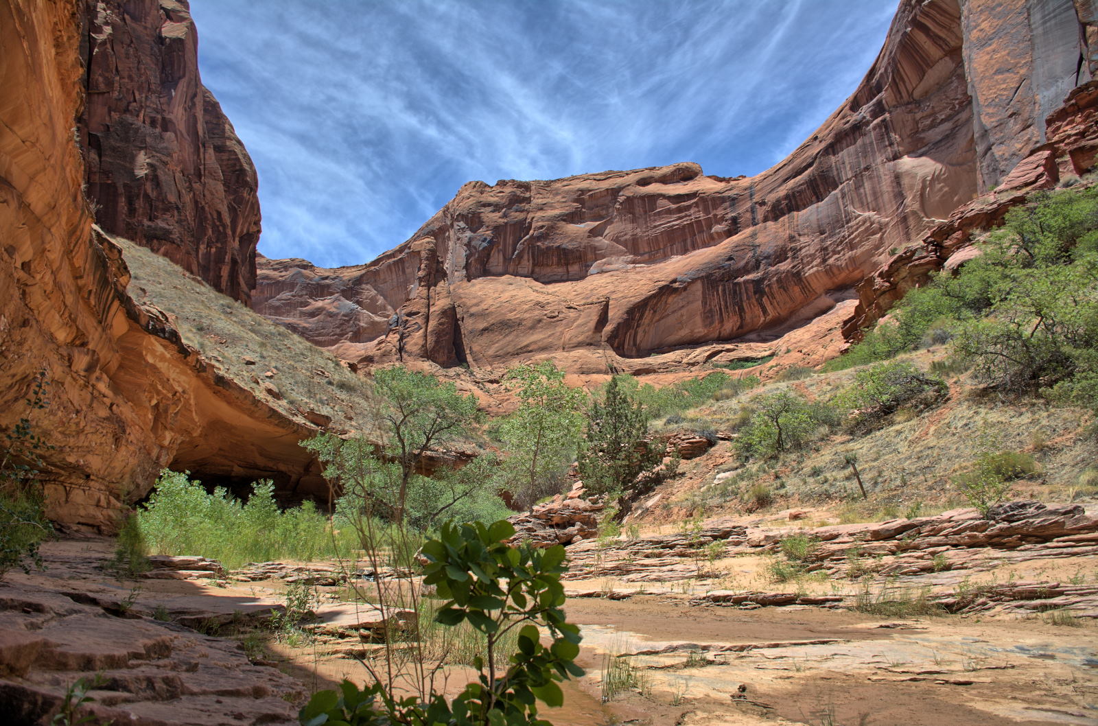
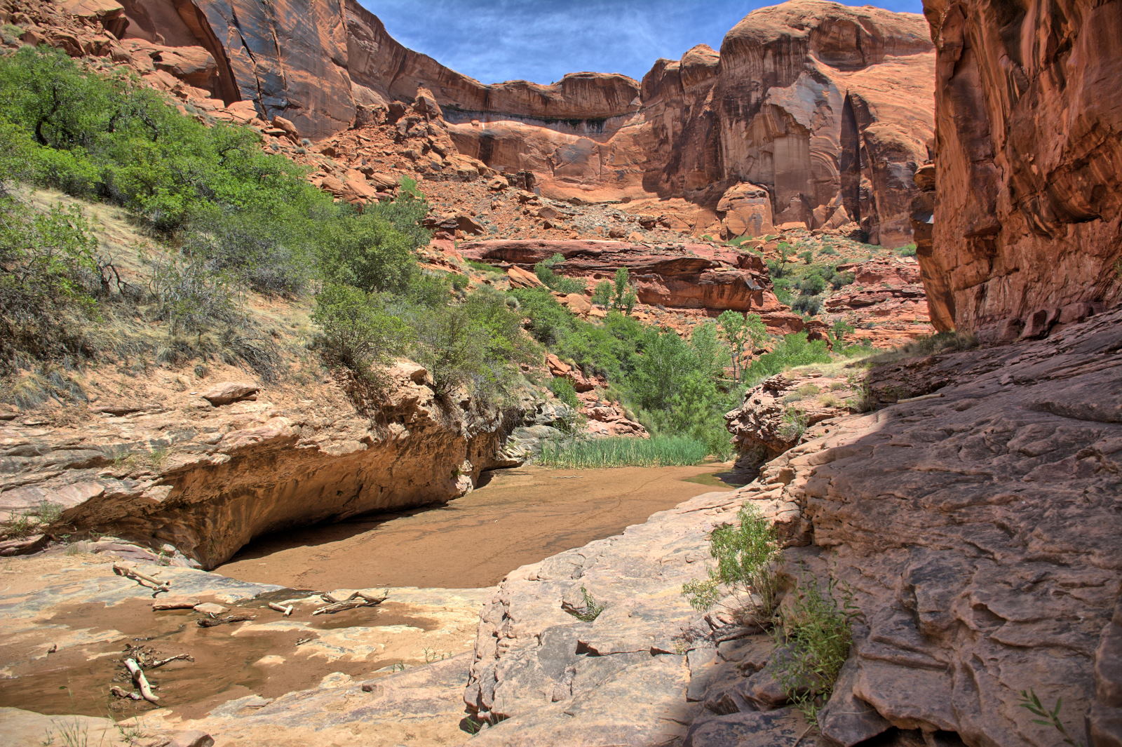
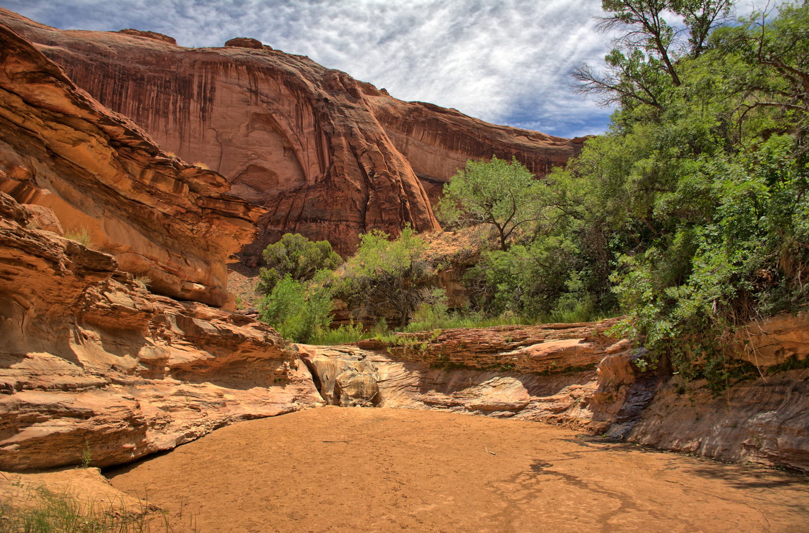
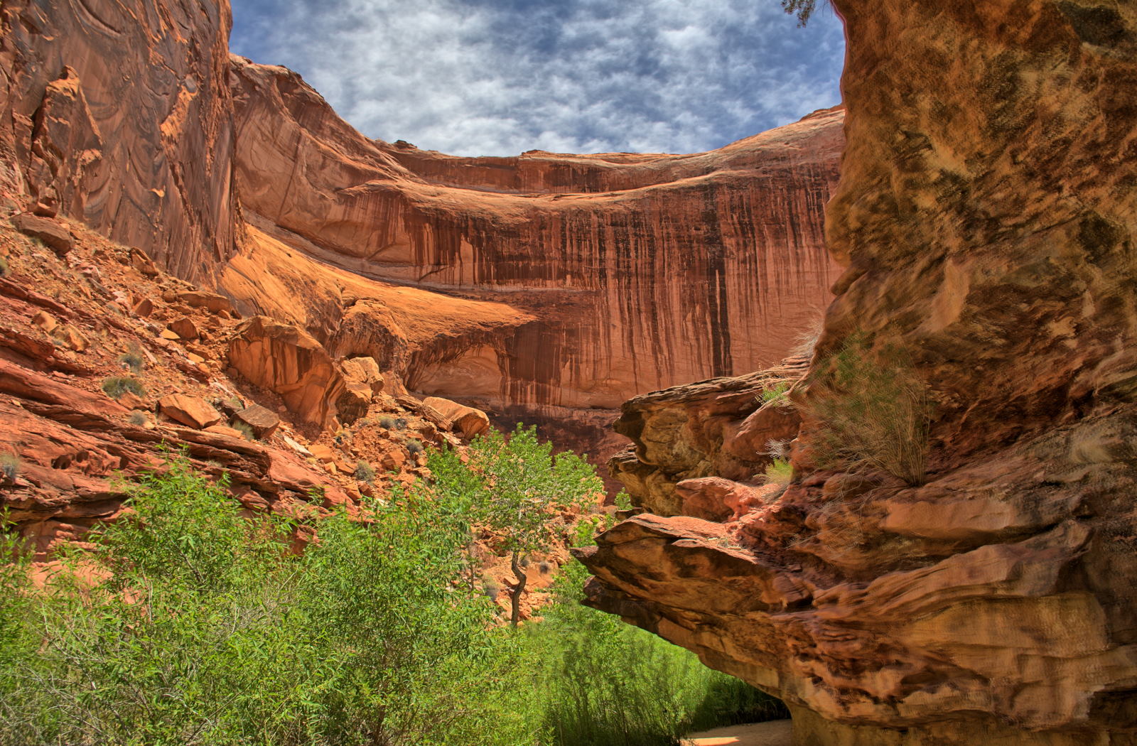
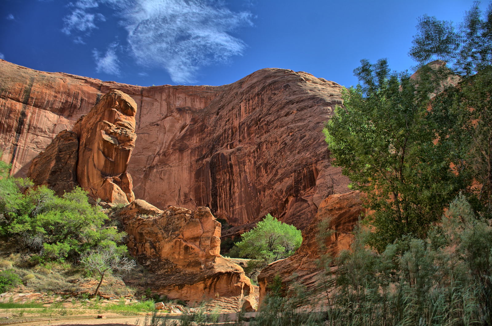
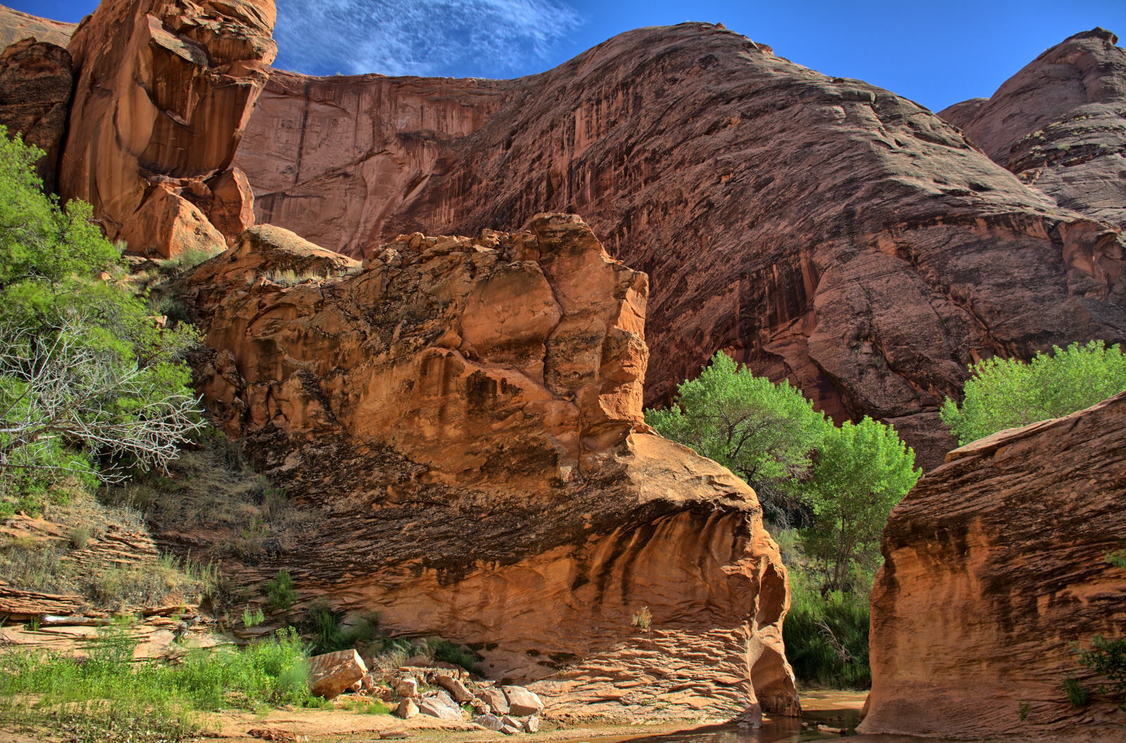
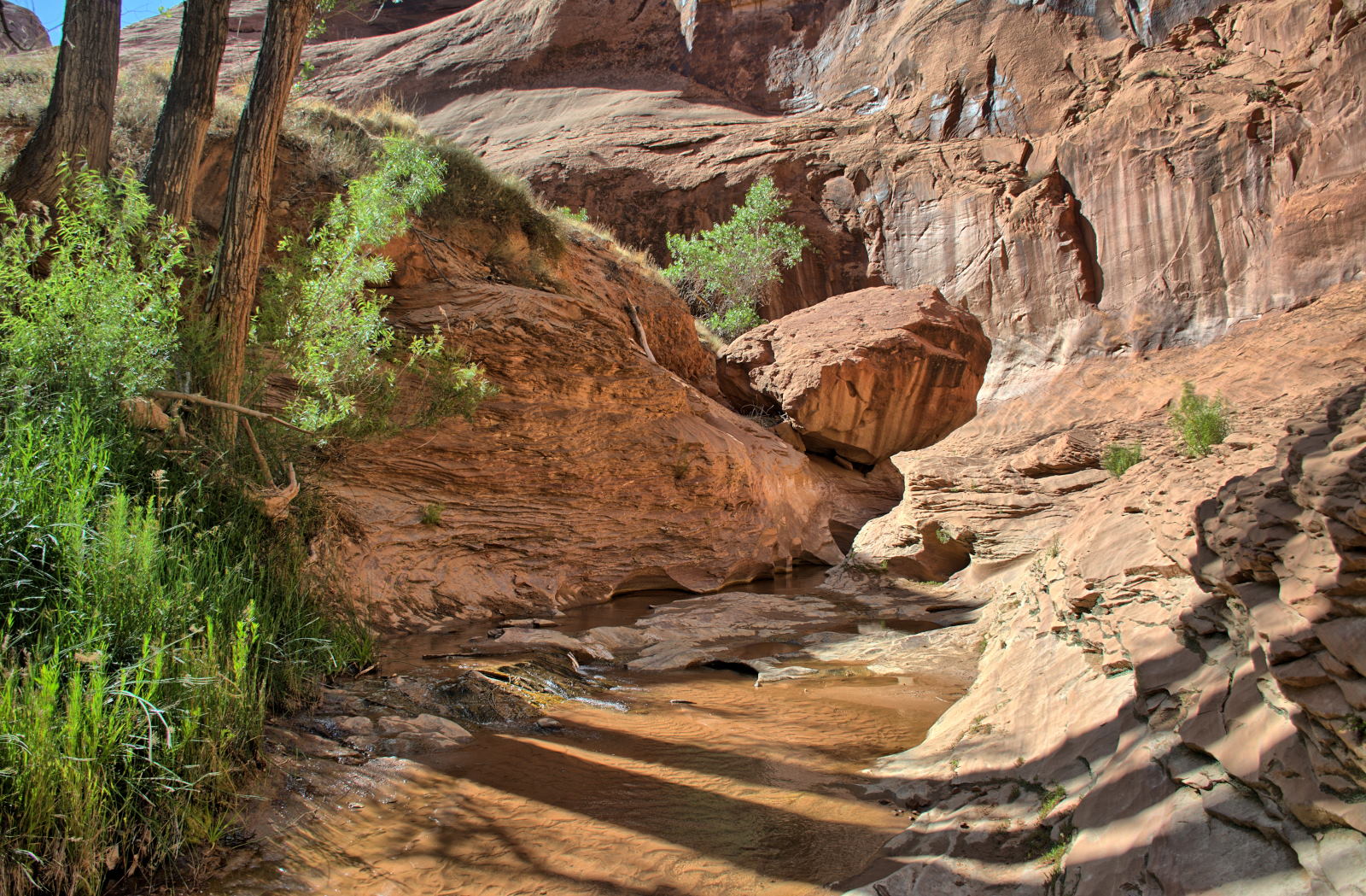
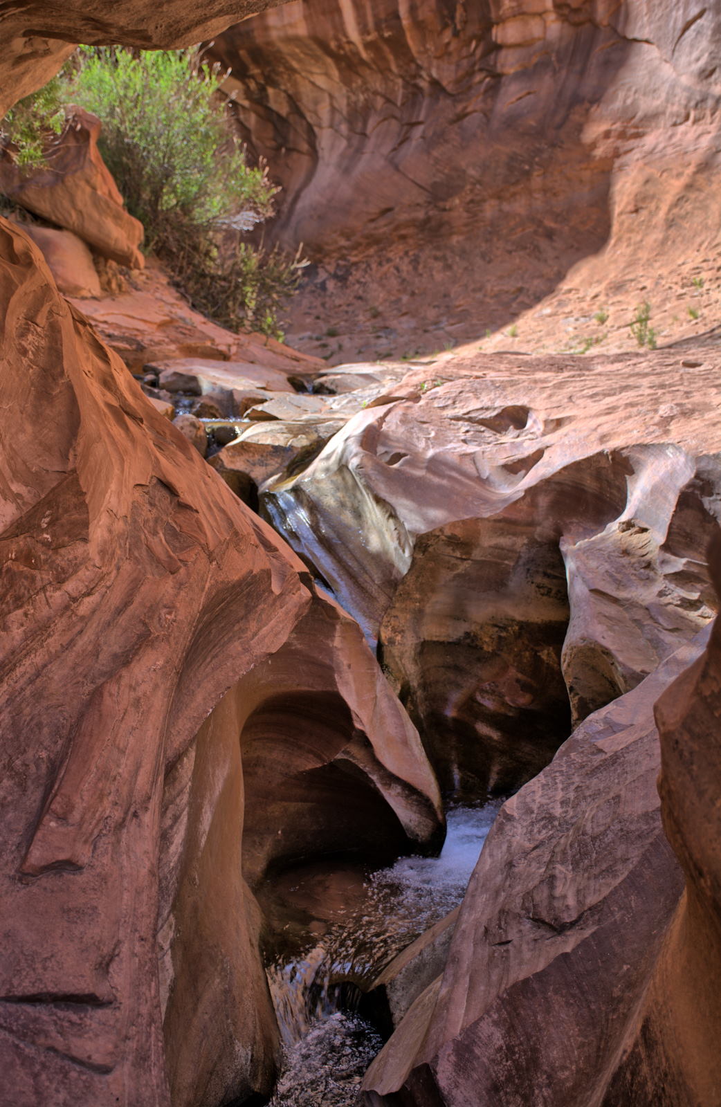
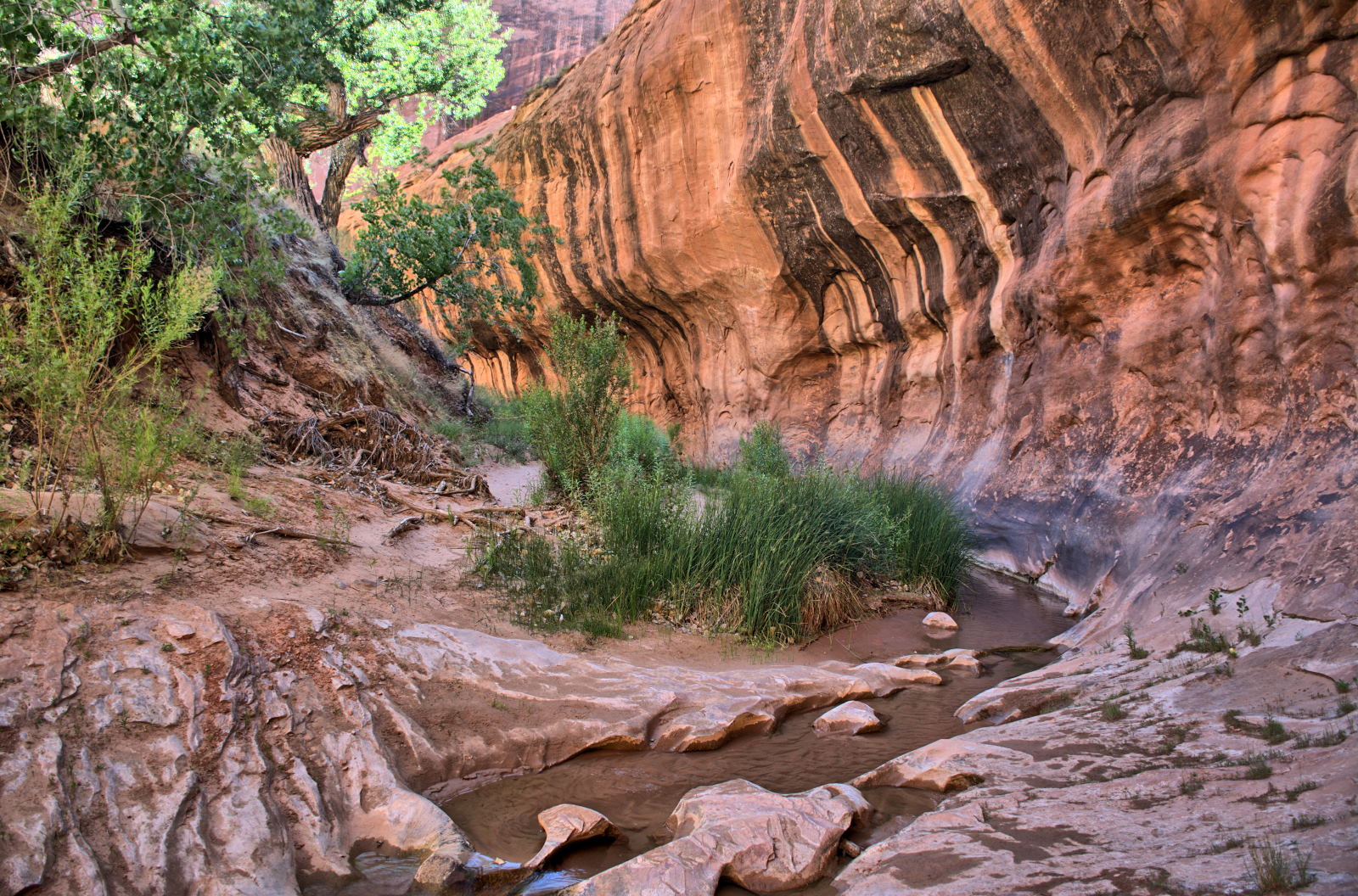
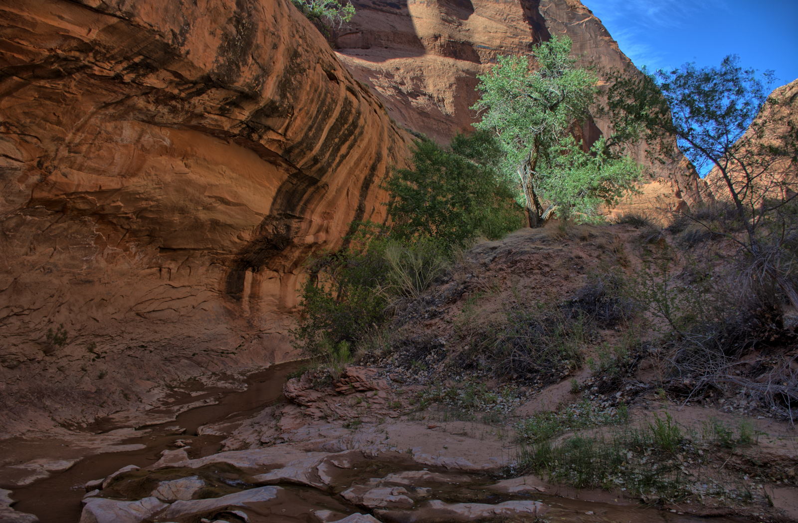
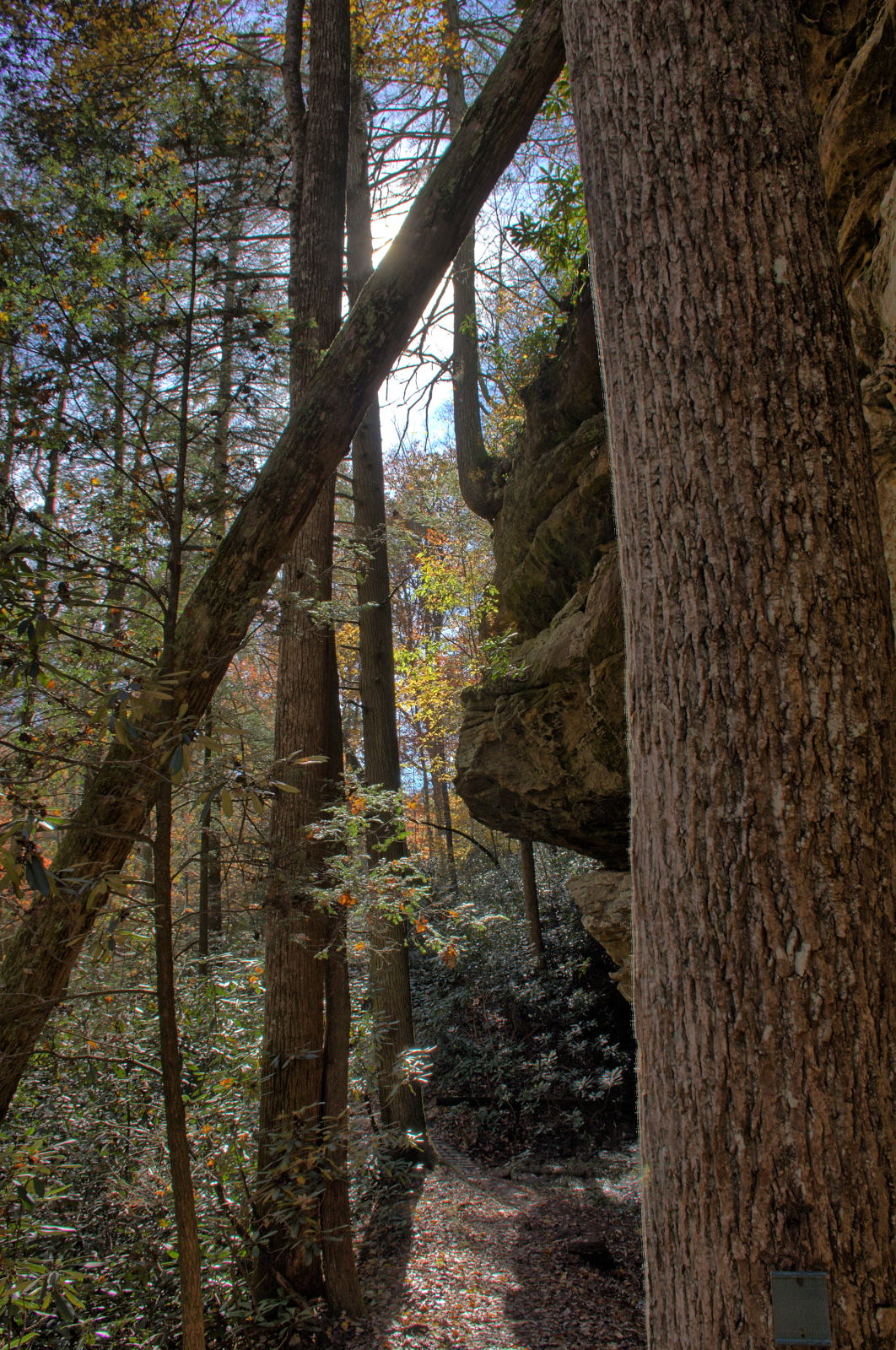
drove to House Rock Valley Road and to the Wire Pass Trailhead to begin his hike through Buckskin Gulch.
Wire Pass is one entry point into Buckskin Gulch, the longest slot canyon in
the United States. The slot canyon section is over 13 miles long. Chris spent
many hours and saw about 5 miles of it, along with the slot canyon portion
of Wire Pass. It all sits within Grand Staircase - Escalante National
Monument in Utah, with the Paria River slot section extending south into the
Vermillion Cliffs National Monument, reaching Lee's Ferry on the Colorado River.
After hiking back out at sunset, he drove back to White House Campground for
dinner and sleep.
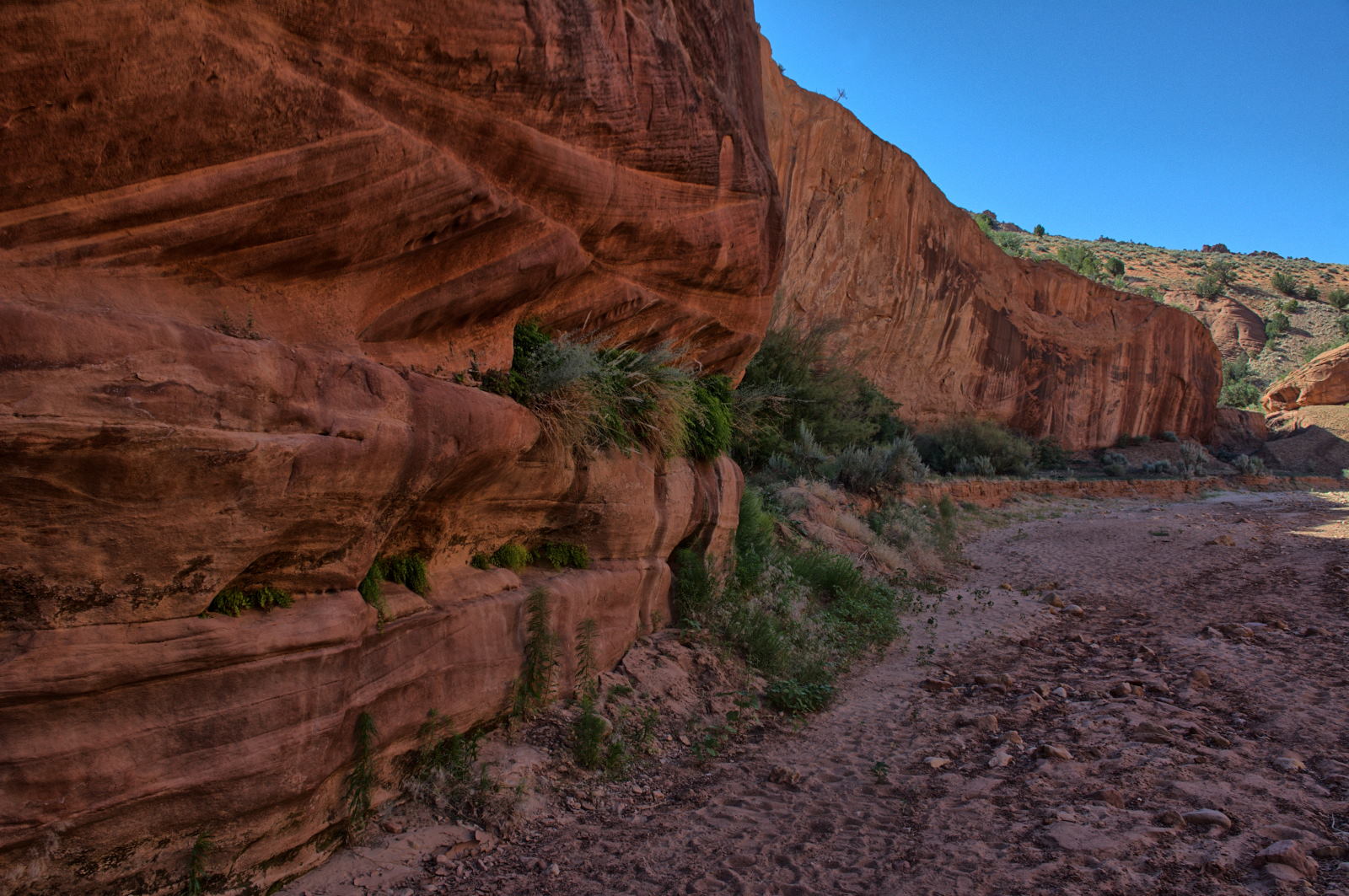
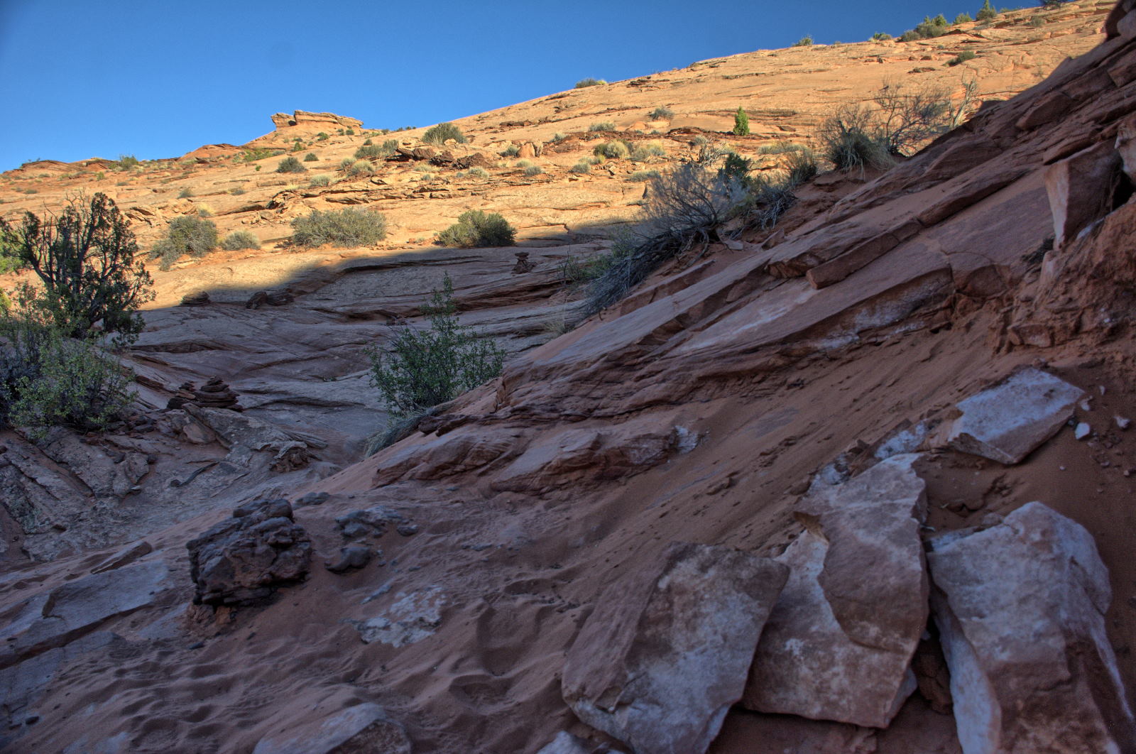
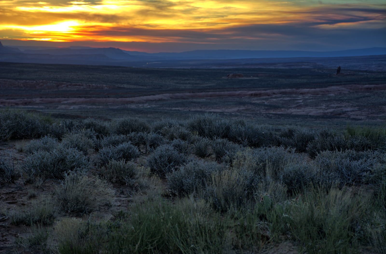
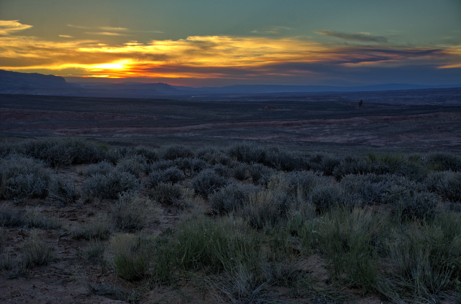
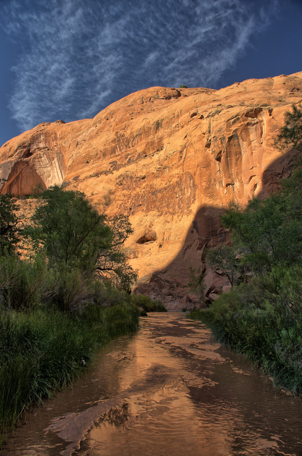
Chris got up and flew one of his planes and a quadcopter to capture some
aerial video of the very dry Paria River, then packed up and drove to Page,
Arizona.
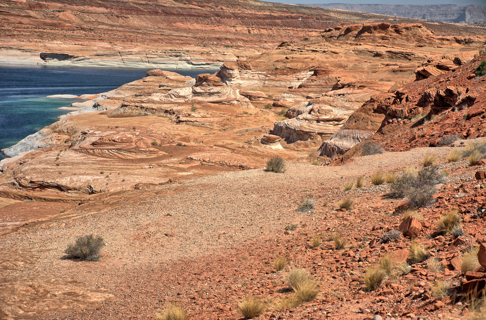
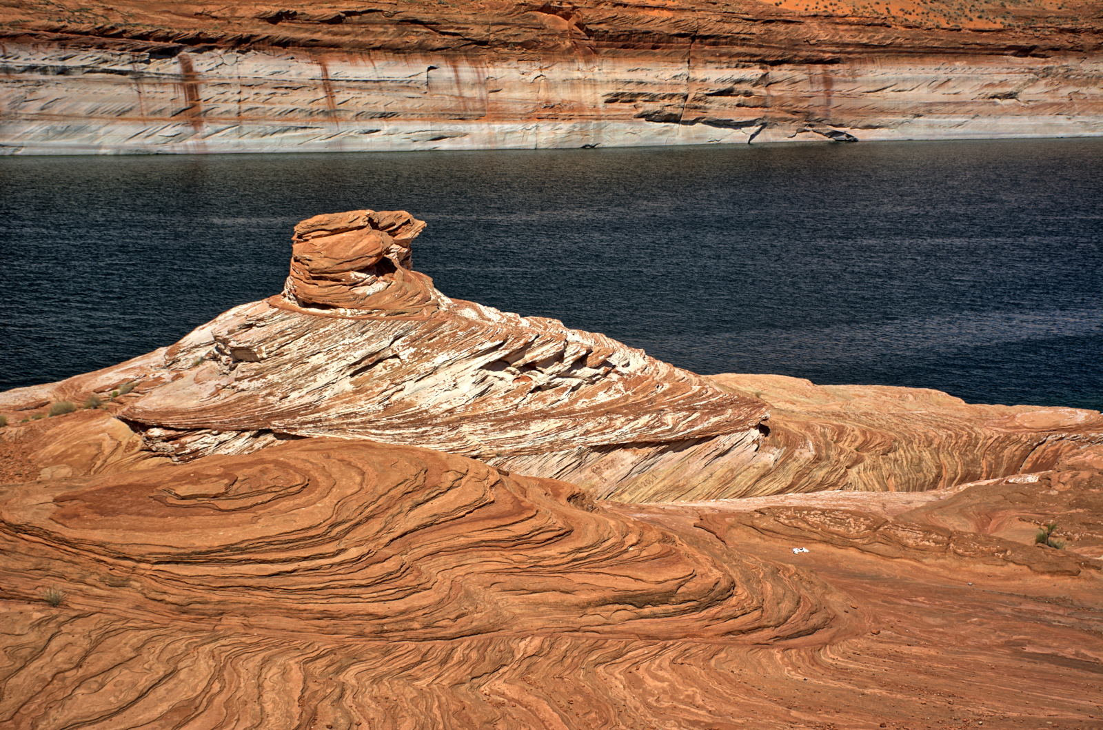
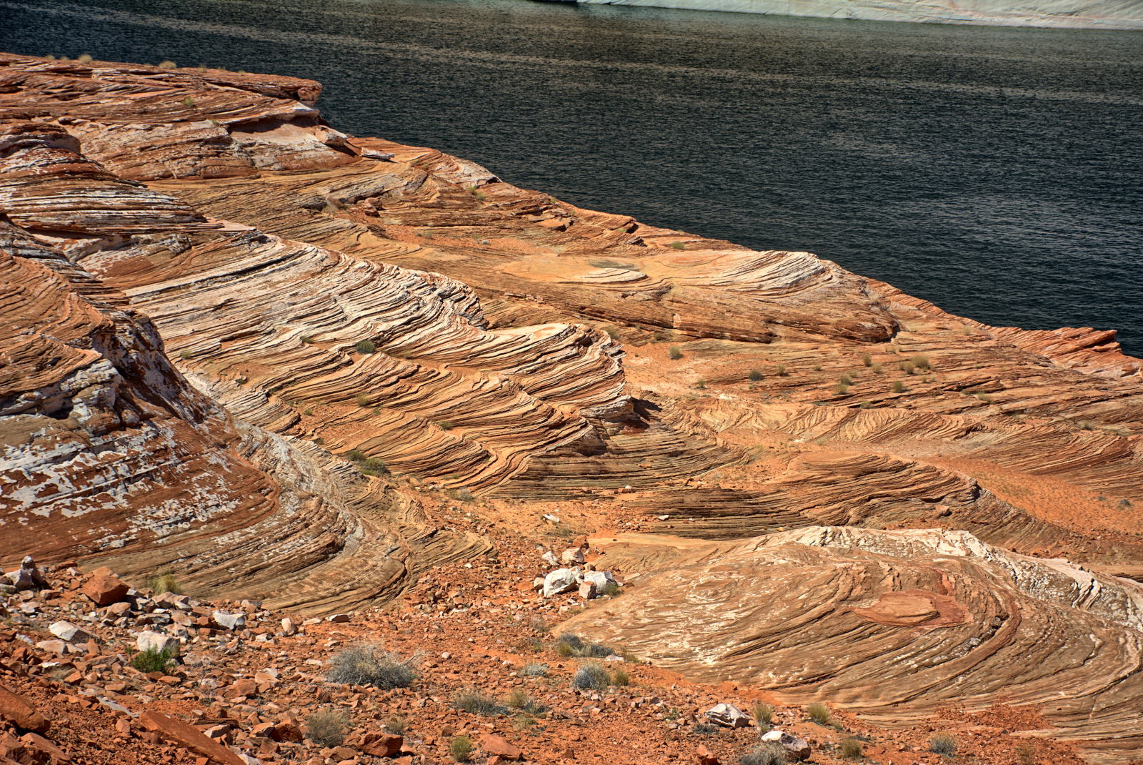
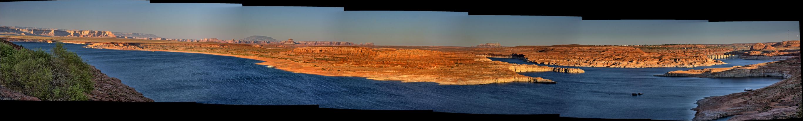
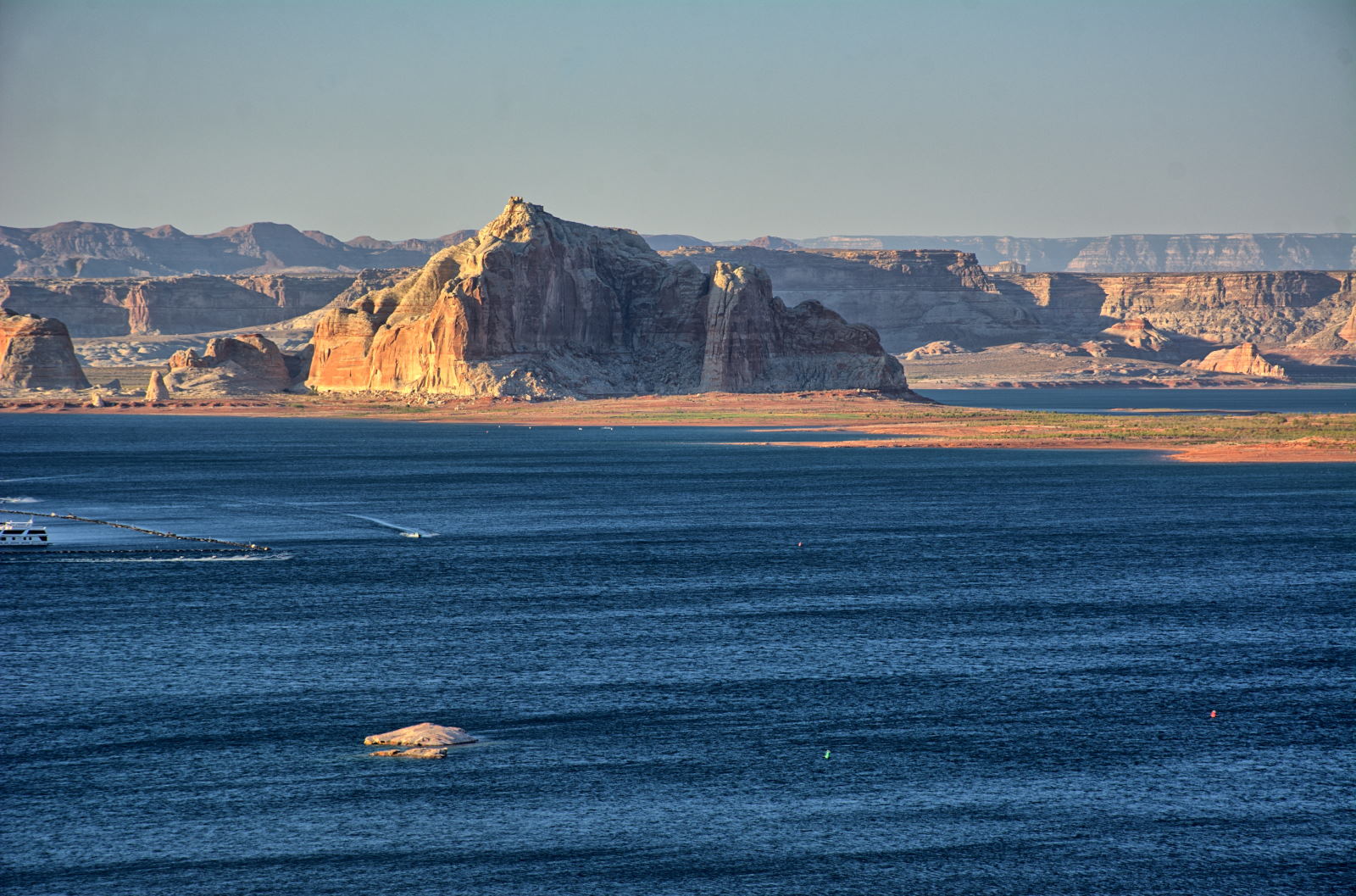
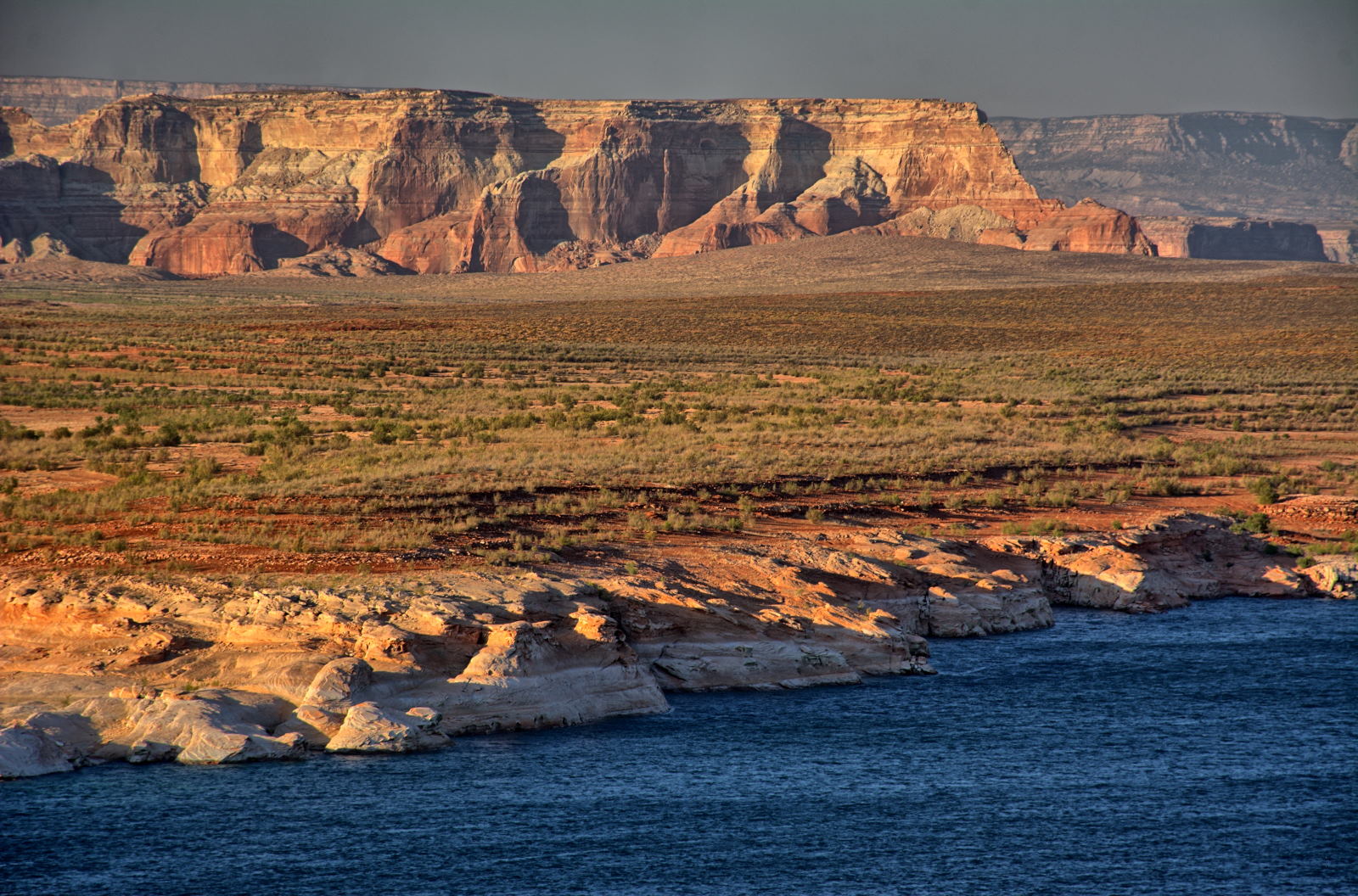
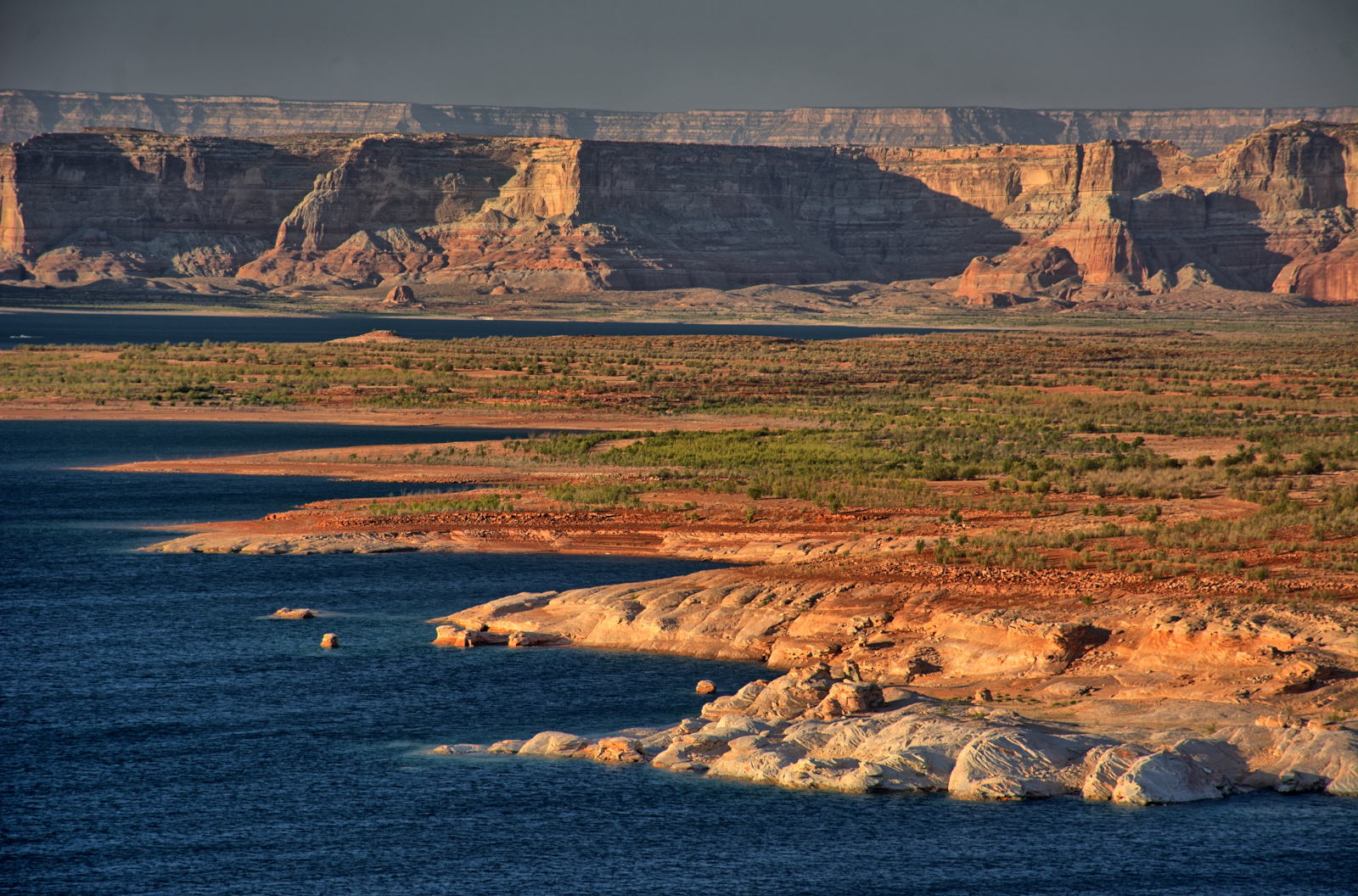
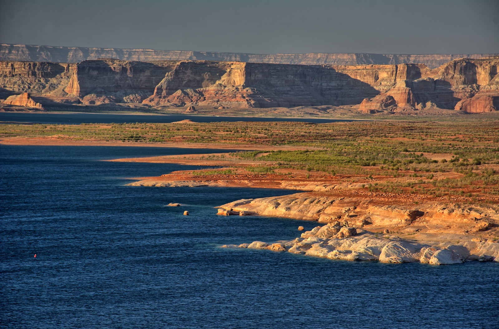
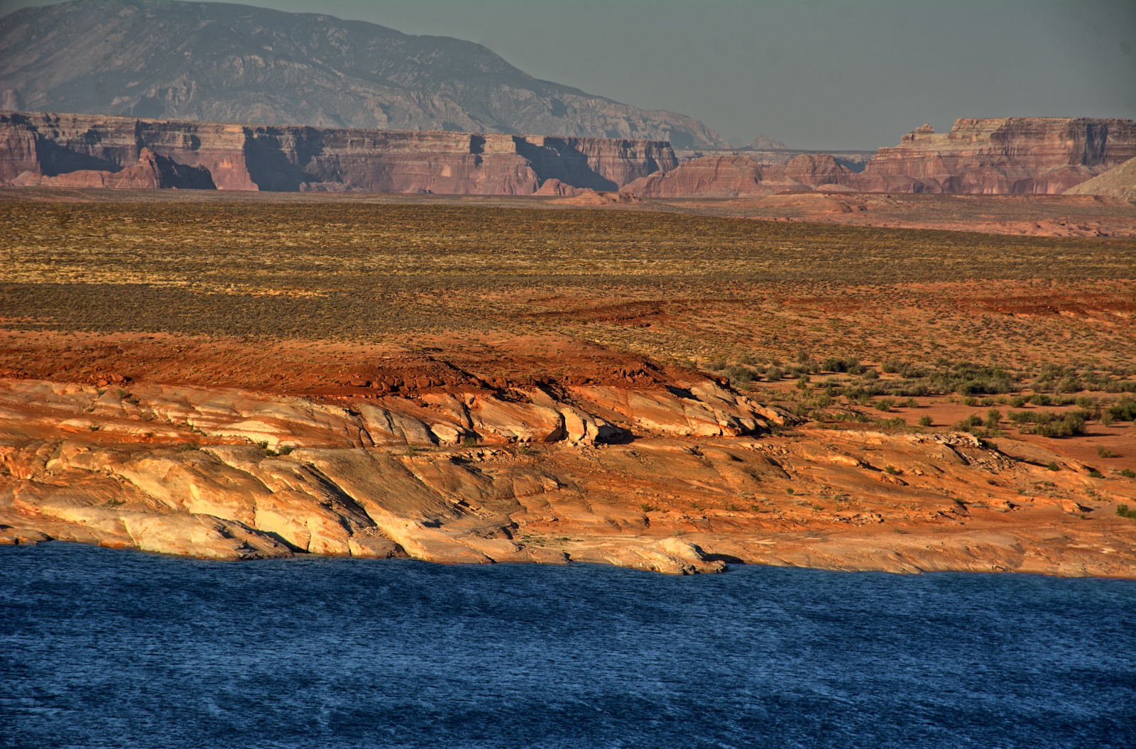
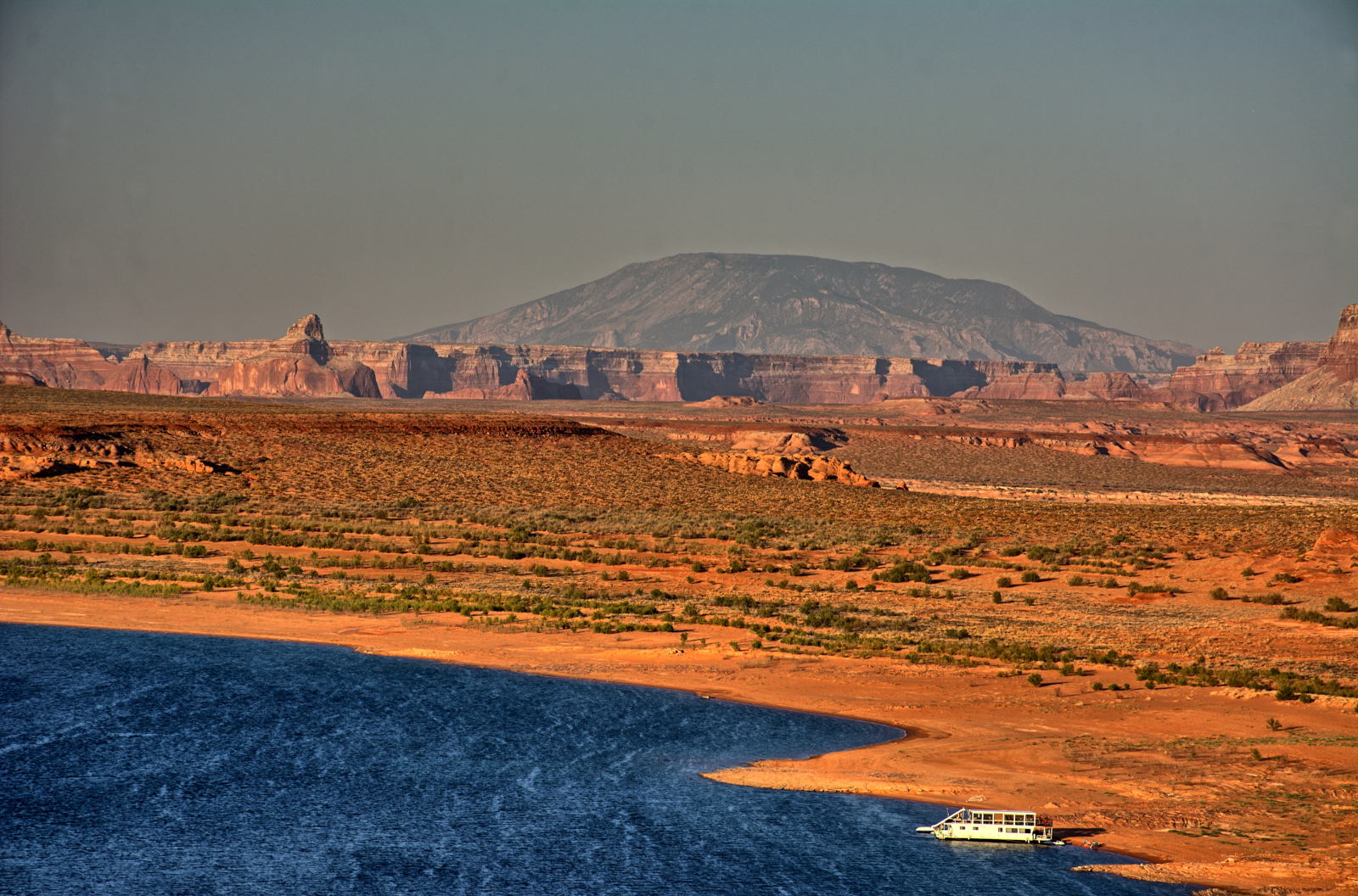
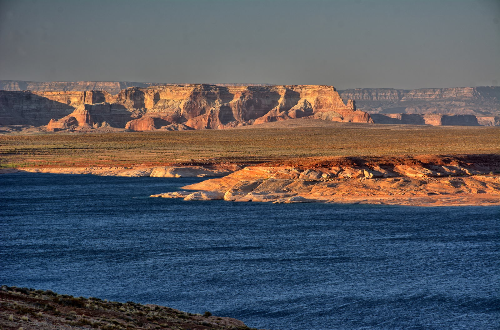
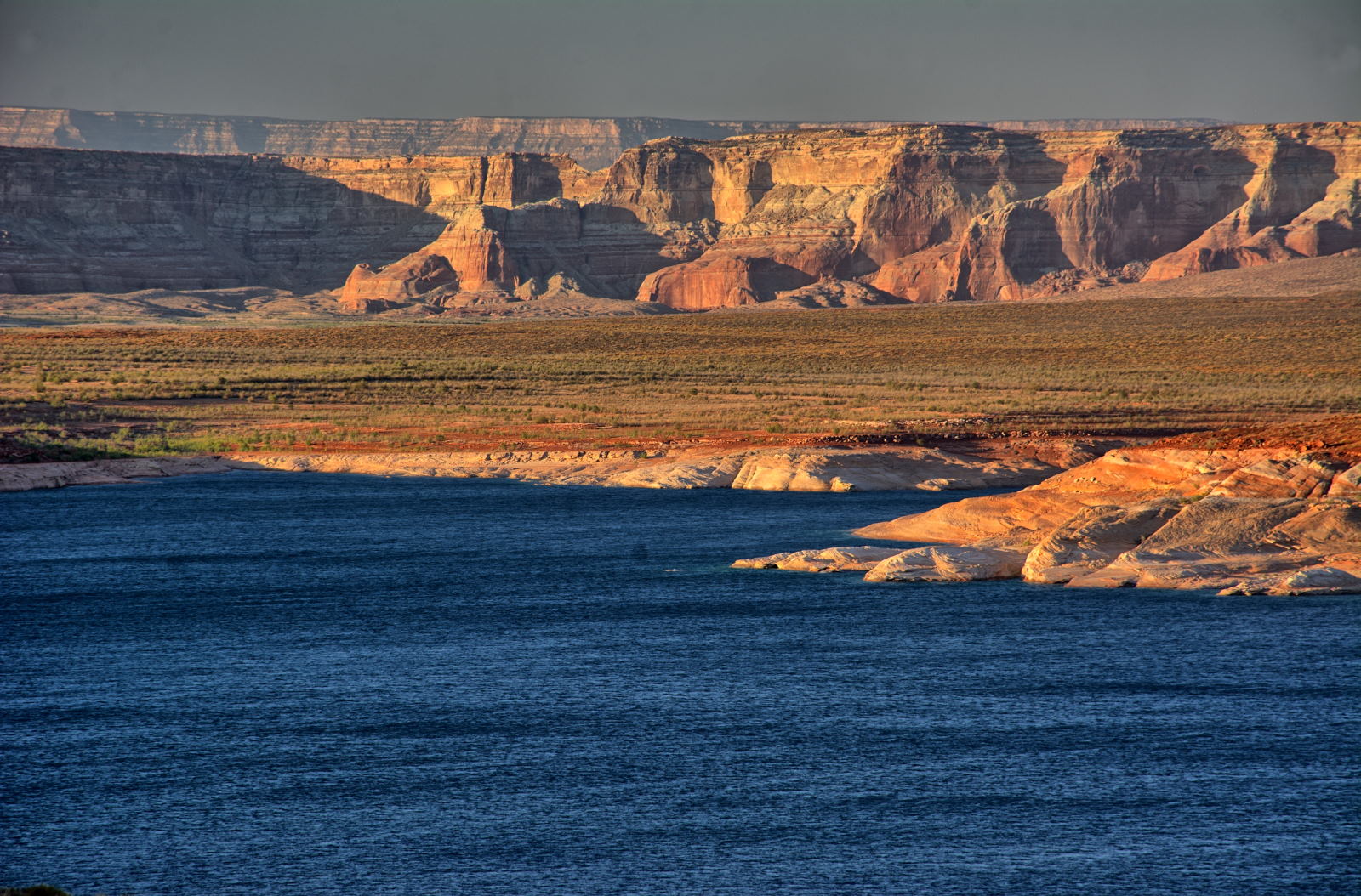
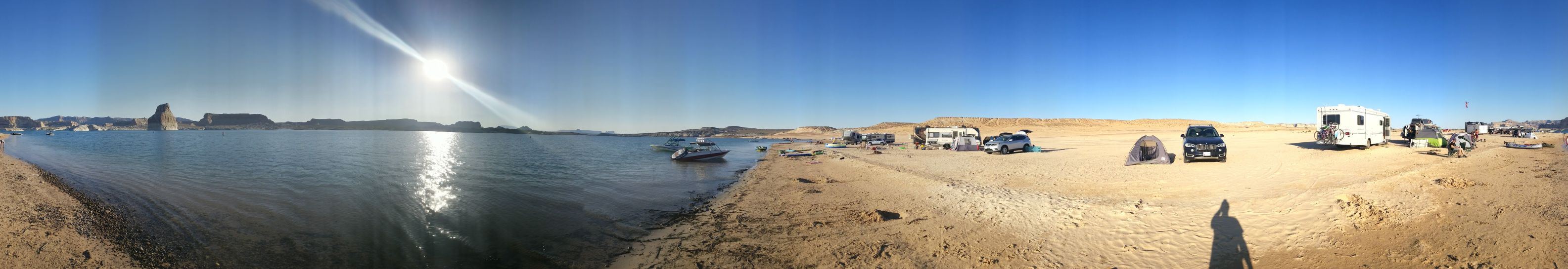
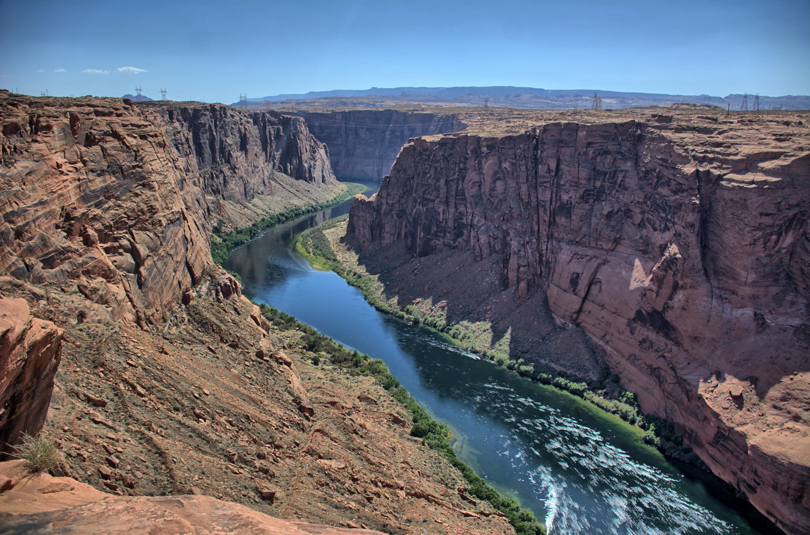
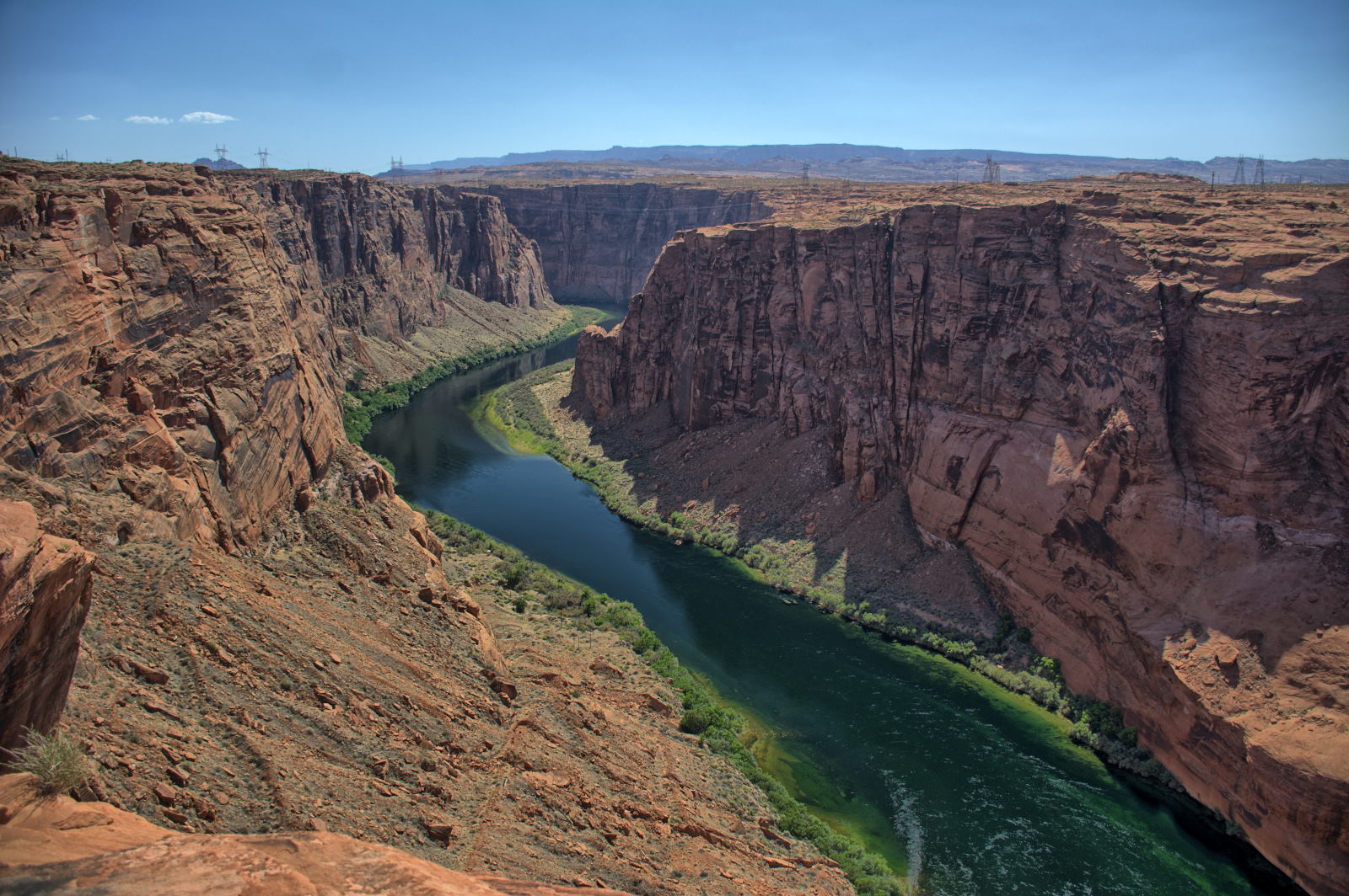
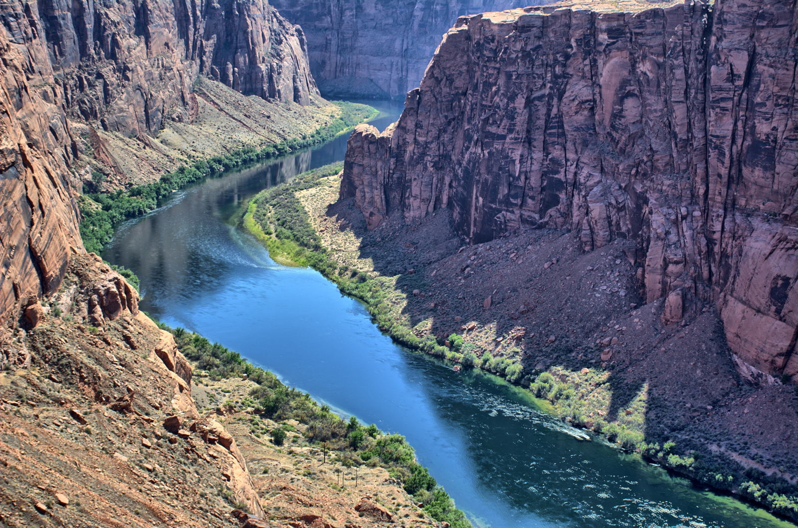
He stopped at Lone Rock Beach on Lake Powell in the Glen Canyon National
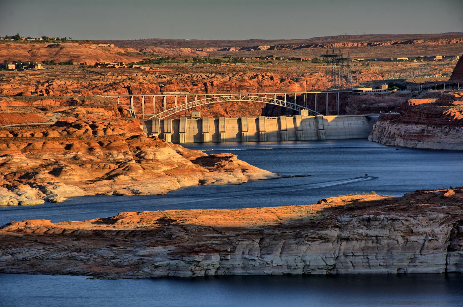
Recreation Area to see if it would work as a good camping spot, then continued on to Glen Canyon Dam and Page. He got reservations for
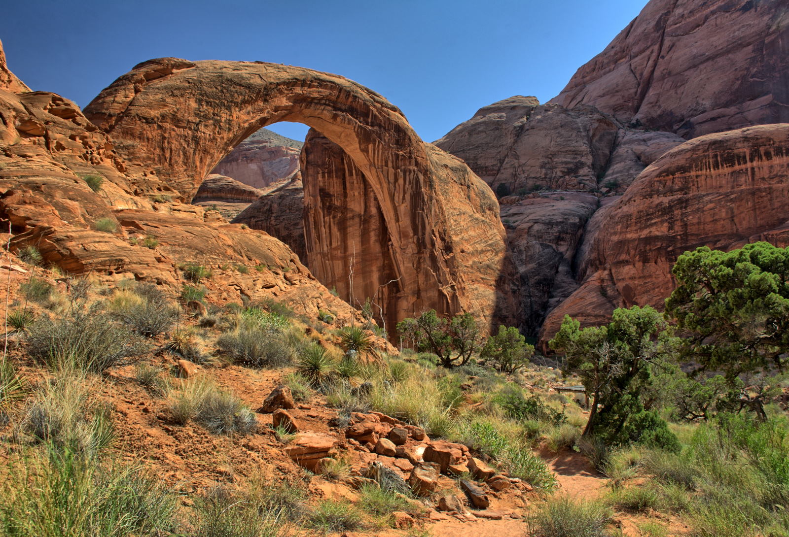
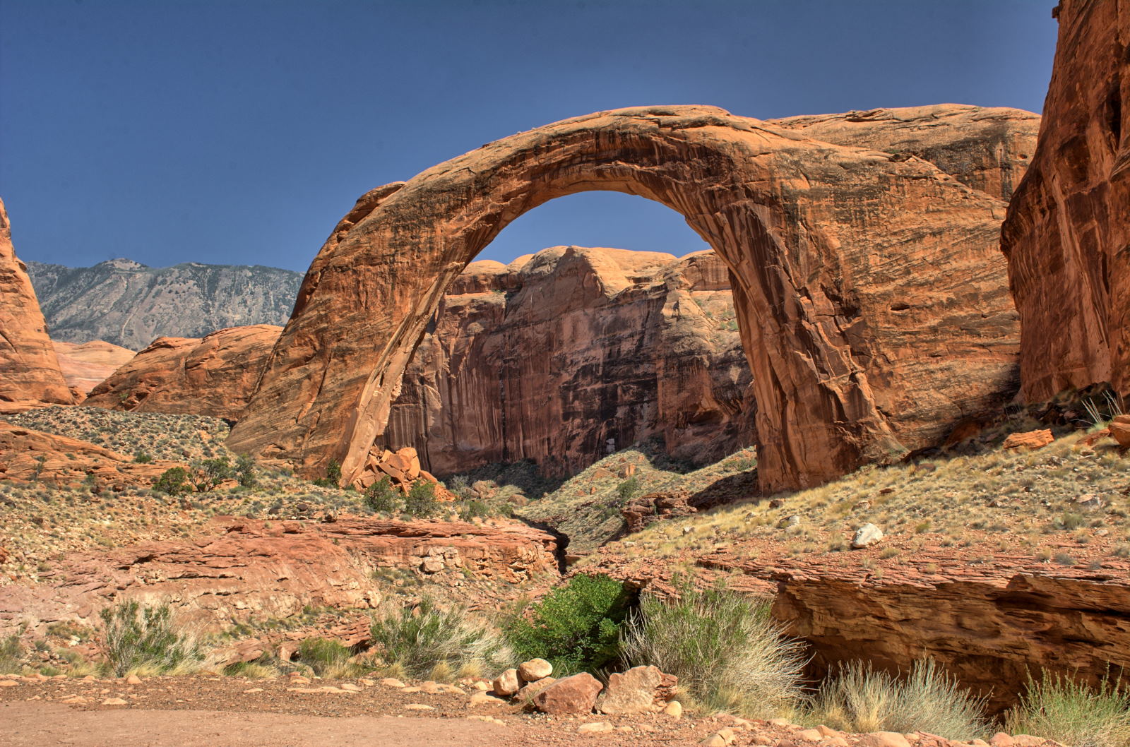
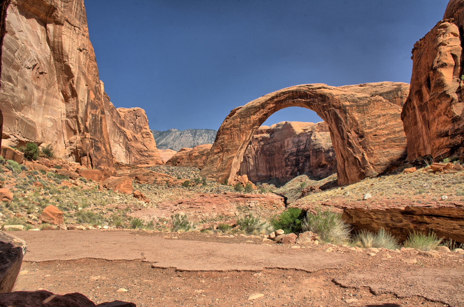
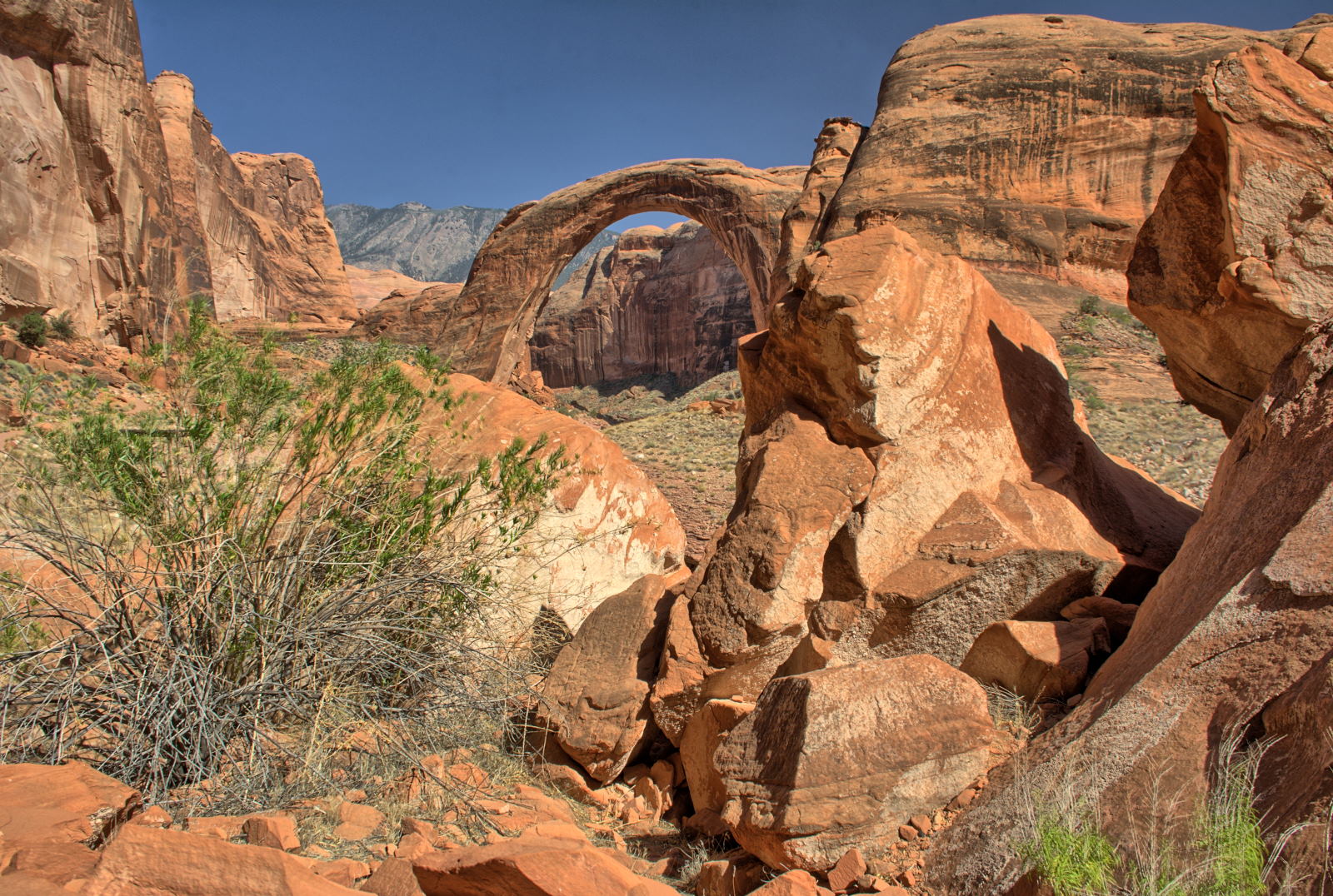
an Upper Antelope Canyon tour the next day, then went back to Wahweap Marina to get on the Rainbow Bridge National Monument boat tour.
Rocks just above Glen Canyon Dam
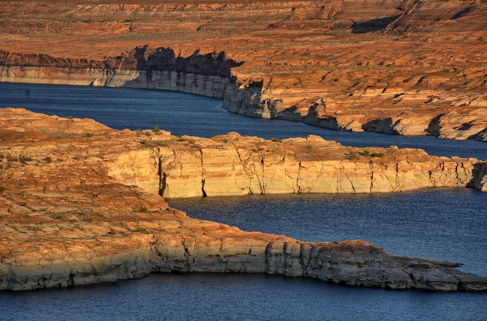
The Rainbow Bridge National Monument boat tour takes over 5 hours, as it is
almost 50 miles by water one-way from the marina. There were lots of spots
left on the afternoon tour, so the boat was pretty empty on this trip.
Once the boat docks, it is almost a mile up to Rainbow Bridge and a little bit
further if you walk behind the bridge, as Chris and only a few other people did.
You have 1.5 hours from docking to when the boat leaves, but the tour personnel
do a very good job of keeping track of people; one of the guides walks all the
way to the end of the trail behind Rainbow Bridge to make sure no one is left
behind when he starts back towards the boat.
After returning to Wahweap Marina, it was almost sunset. Chris drove along the lake to a good viewpoint to get sunset photos, then went into Page for dinner, and returned to
Lone Rock Beach to camp right next to the water.
Wahweap Sunset
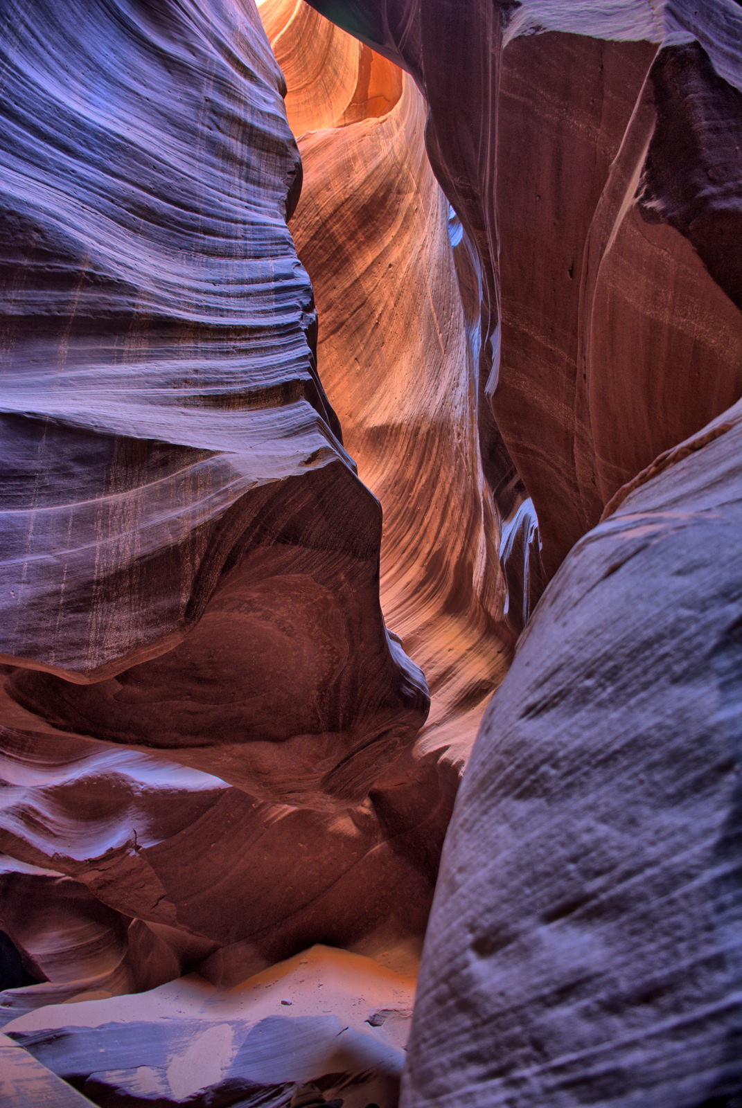
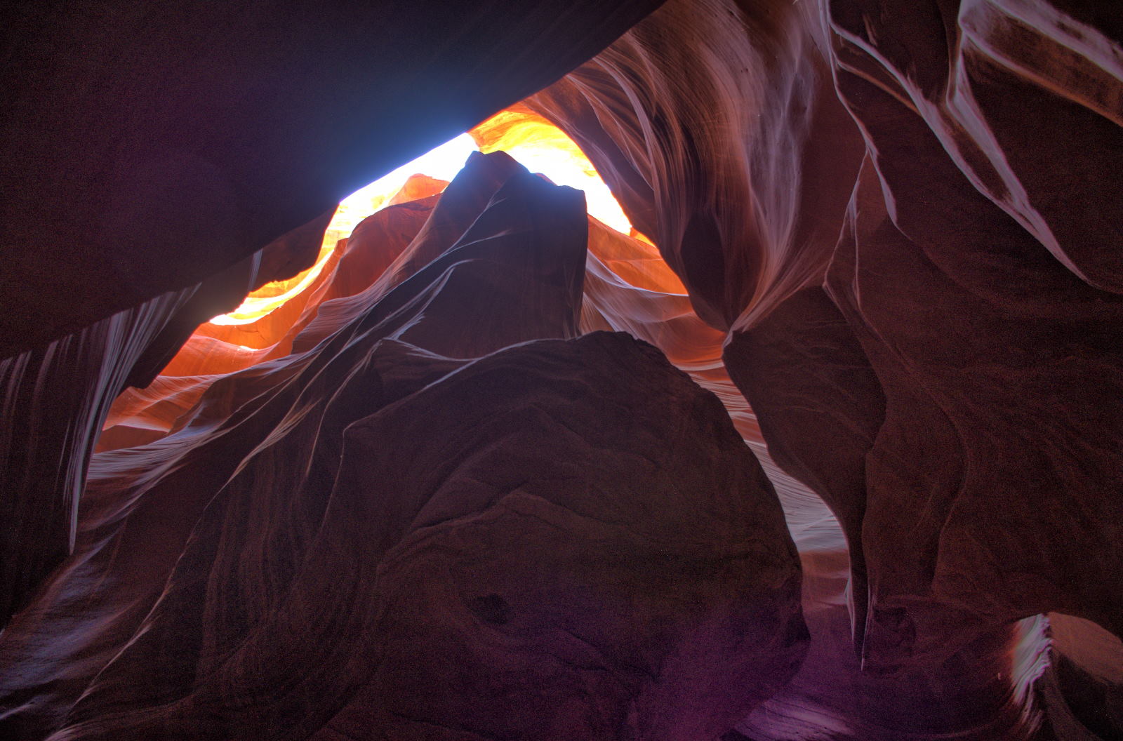
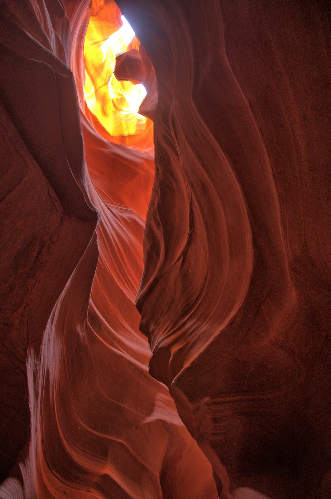
25 June 2018, Monday
He took some morning photos at Lone Rock Beach just after sunrise, then drove to Horseshoe Bend just south of Page.
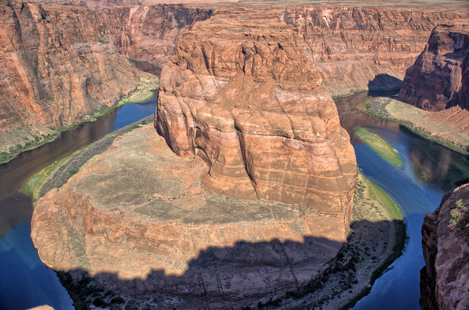
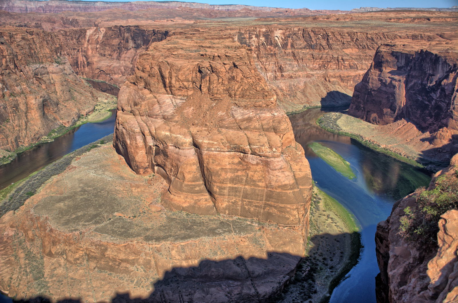
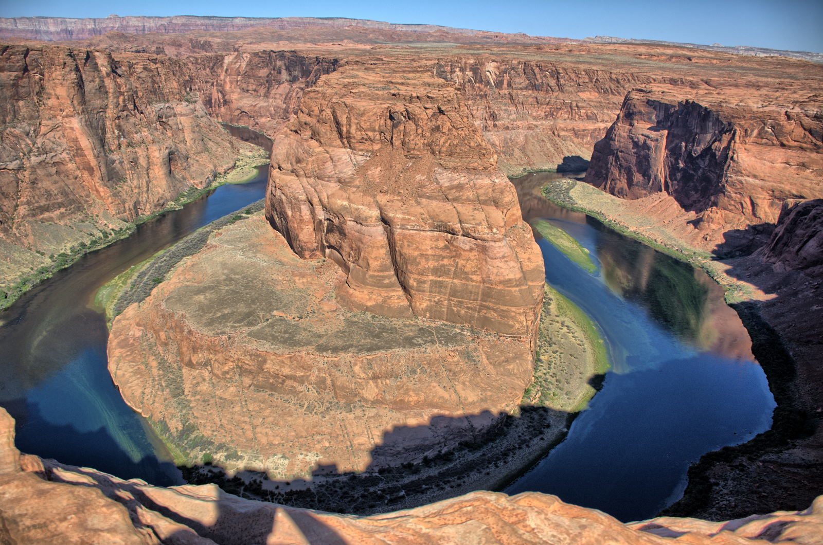
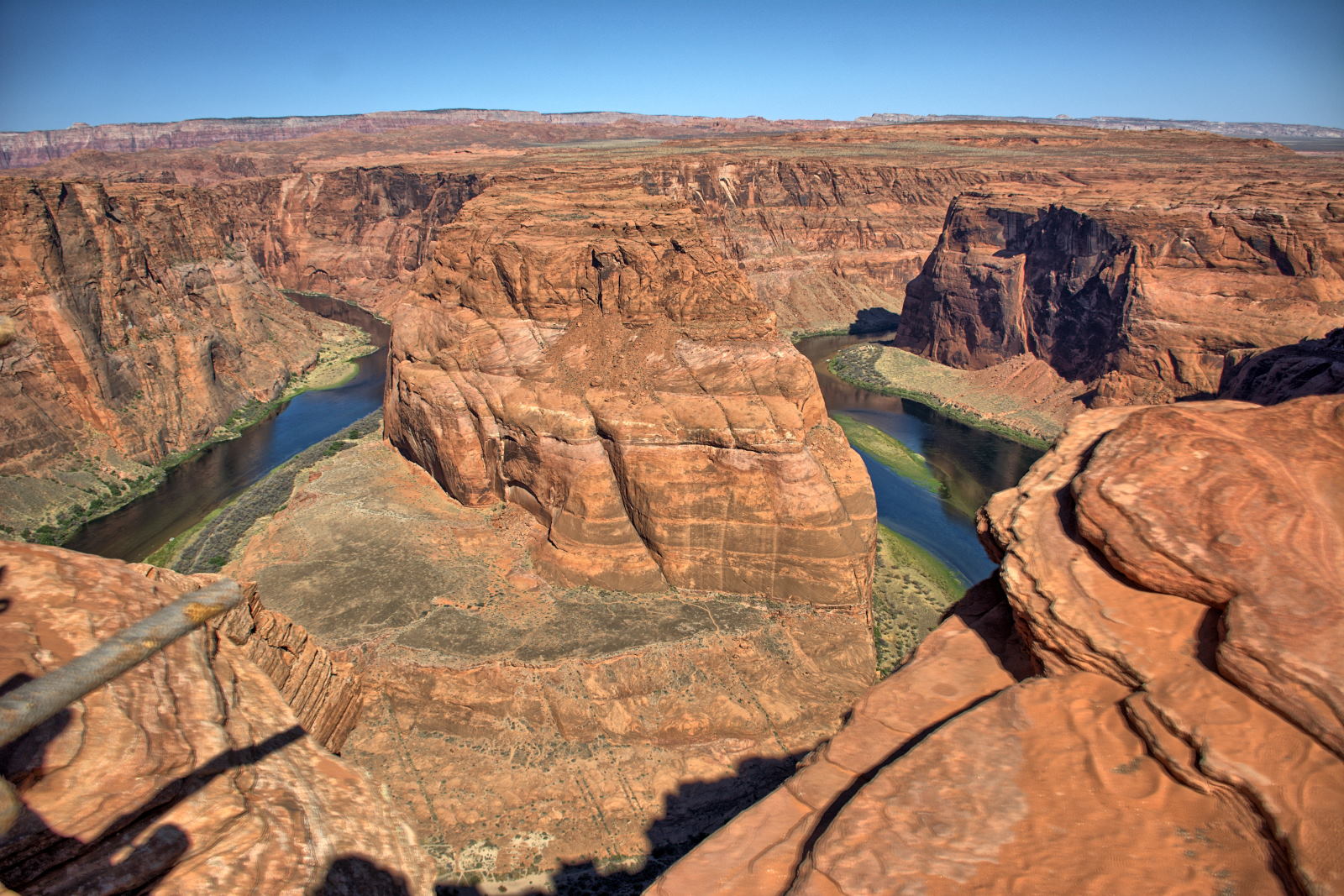
Horseshoe Bend on Colorado River, south of Page, Arizona.
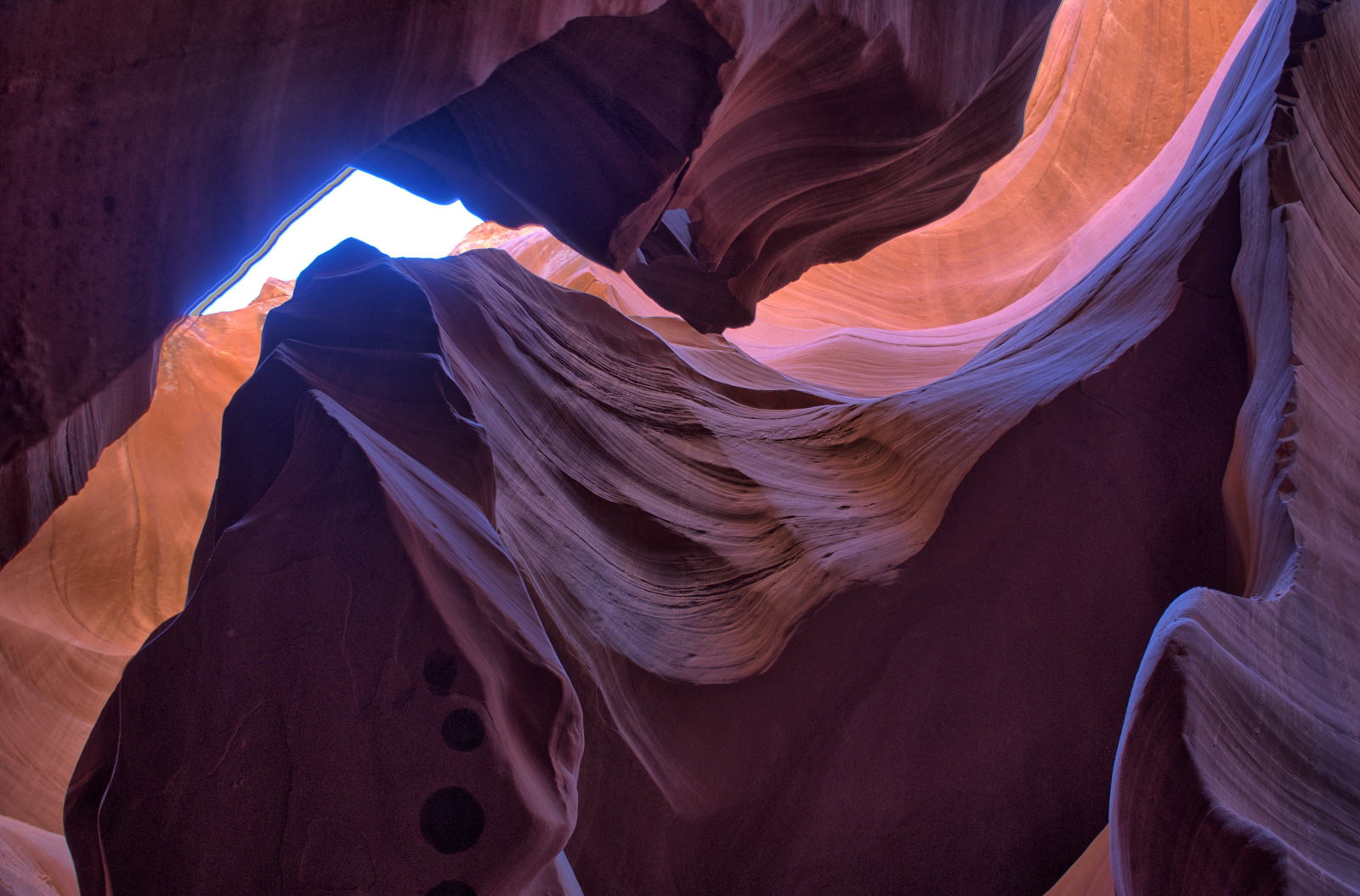
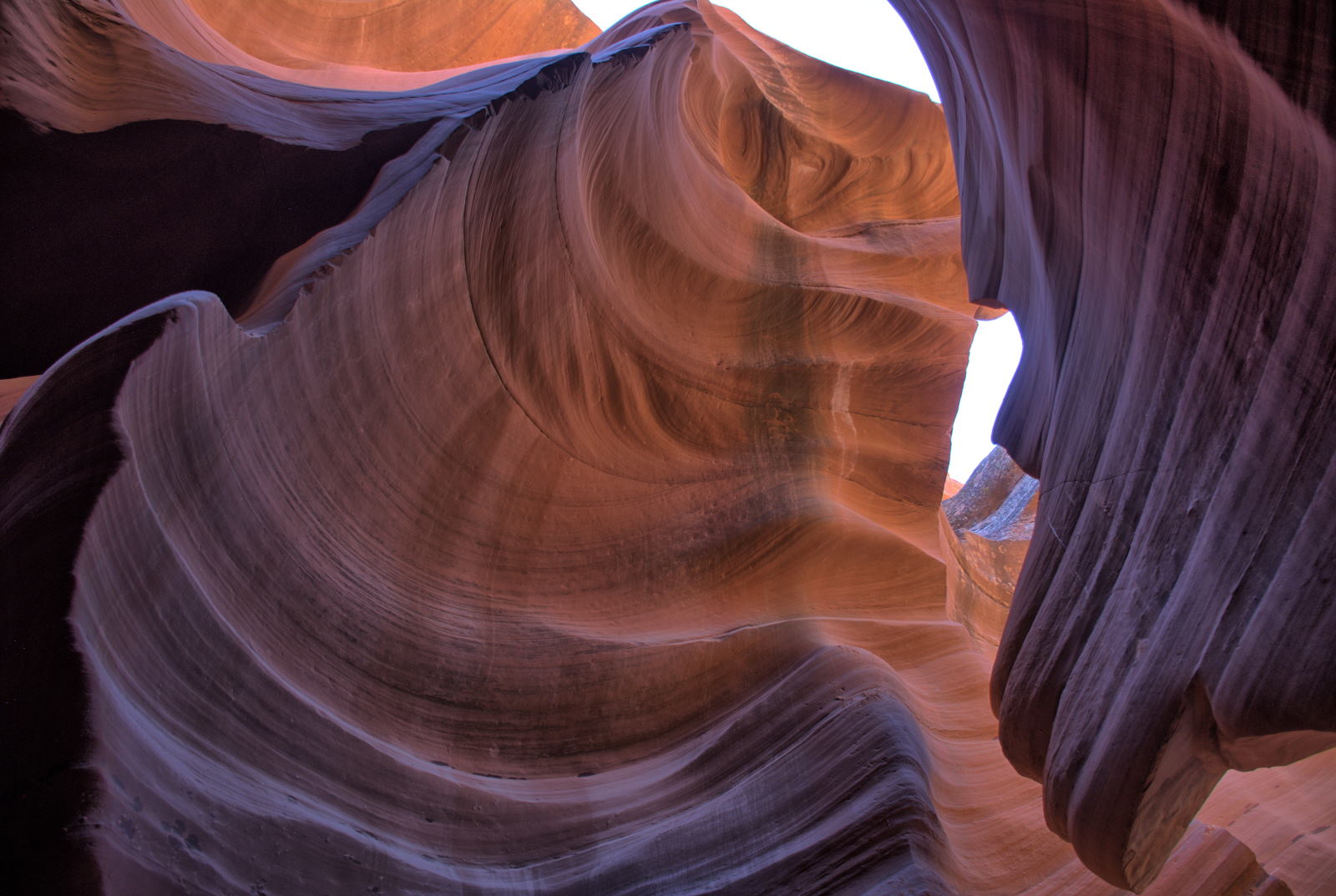
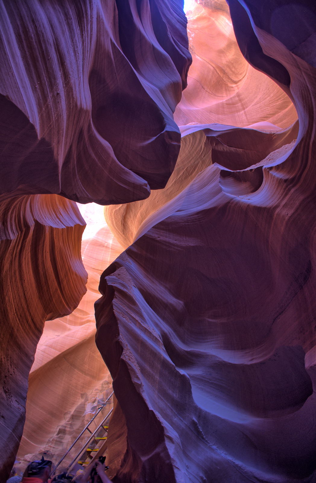
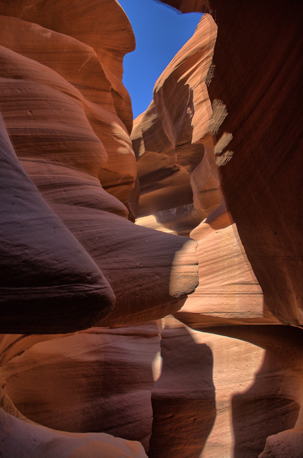
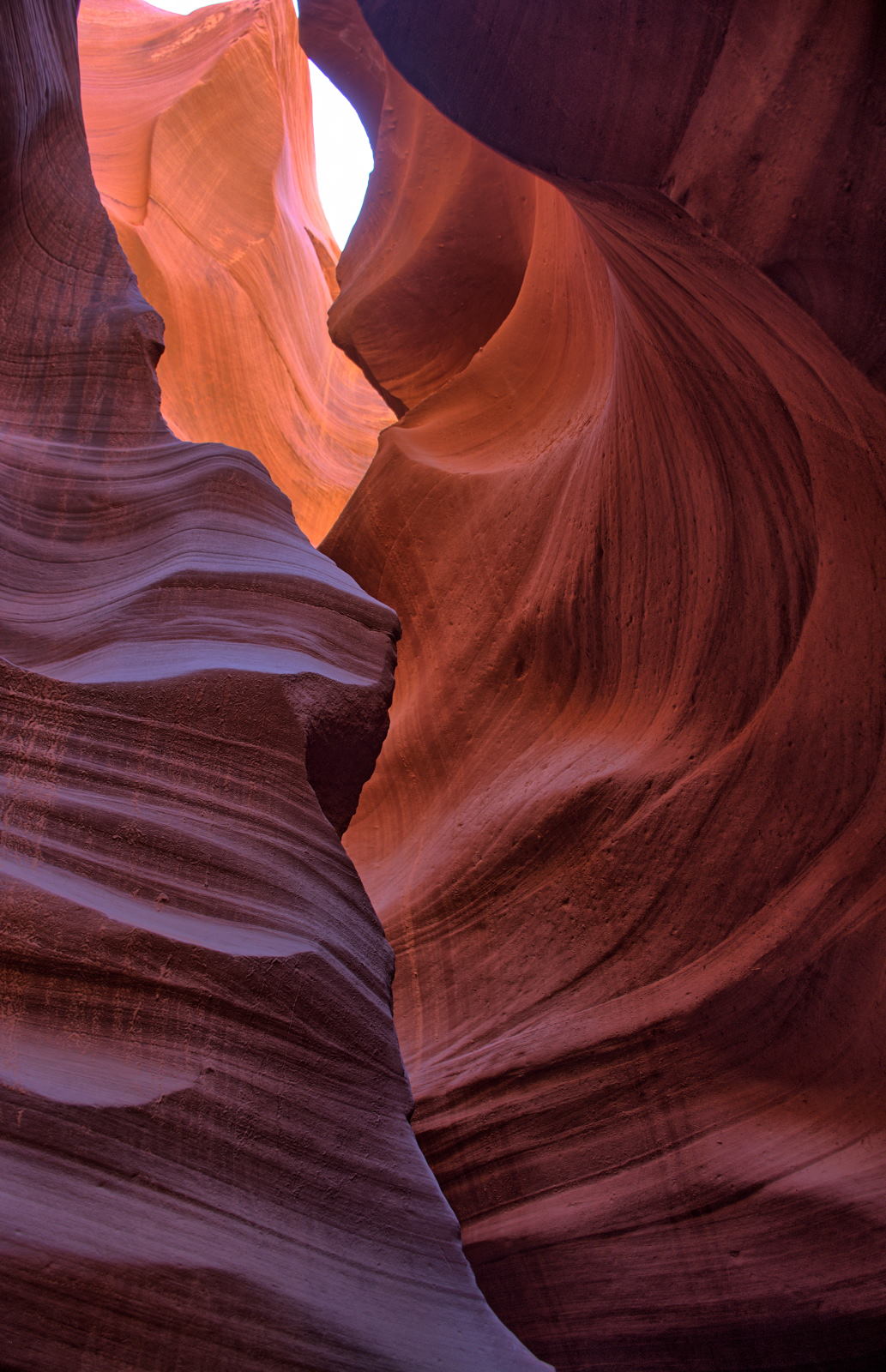
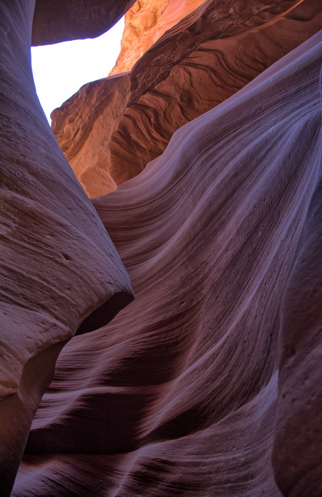
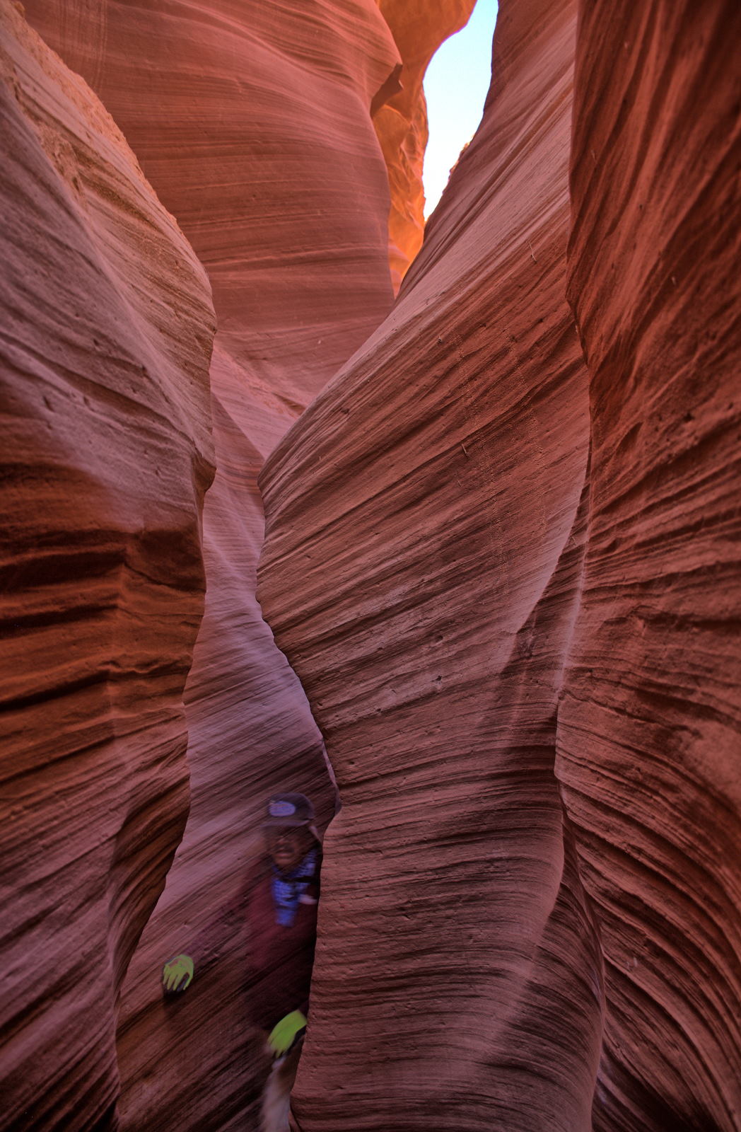
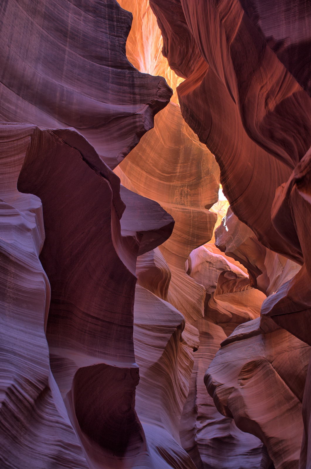
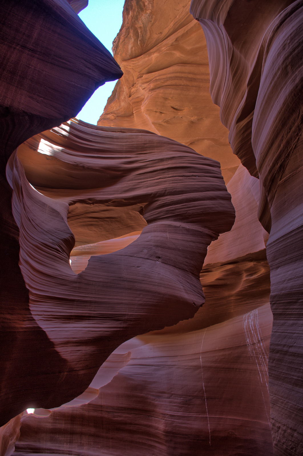
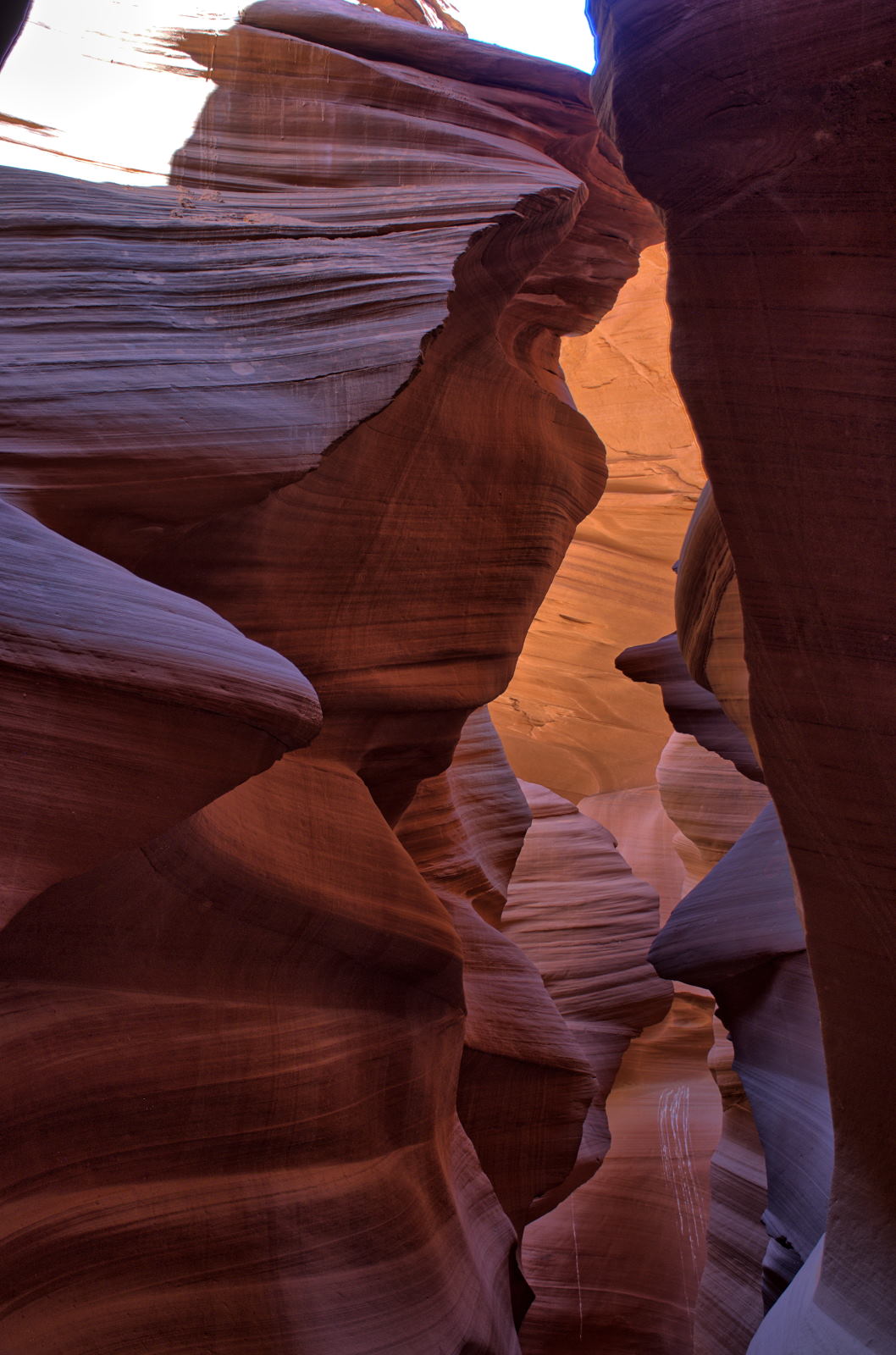
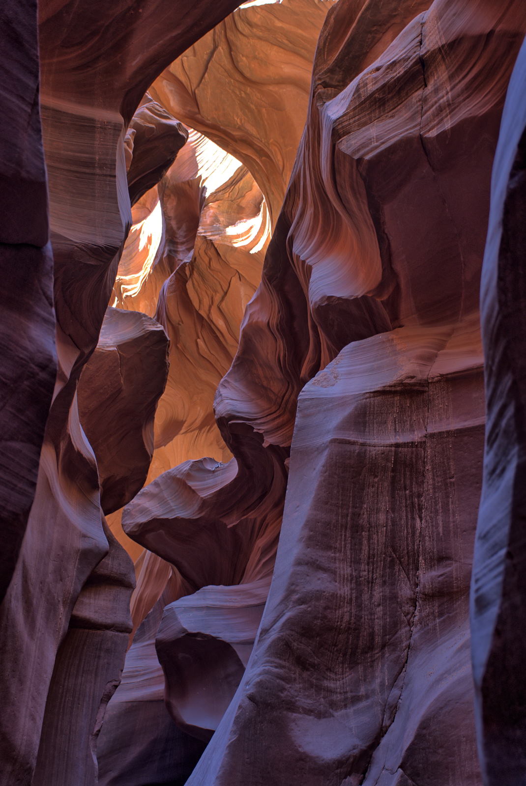
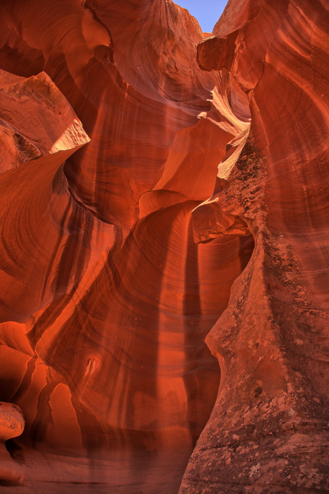
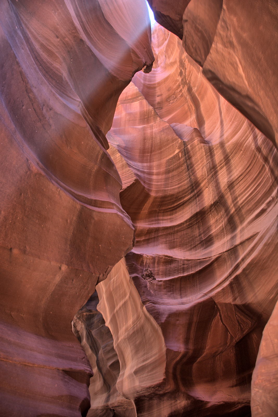
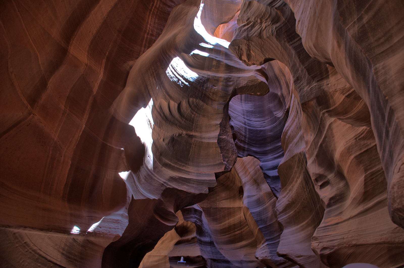
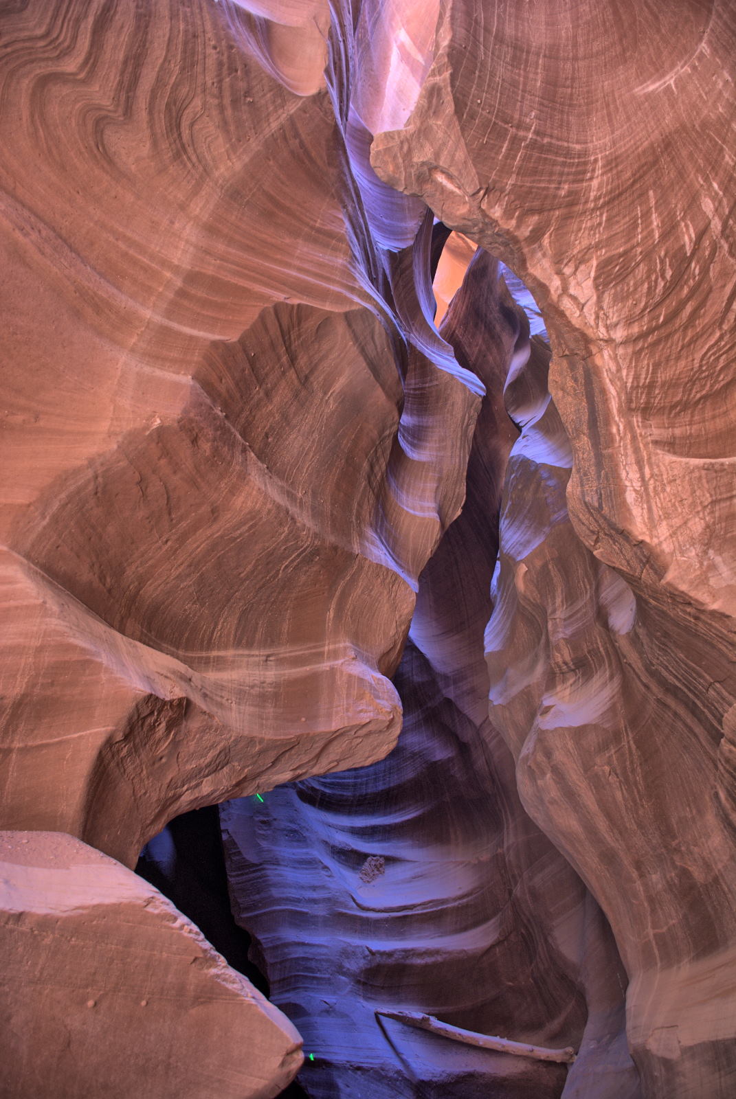
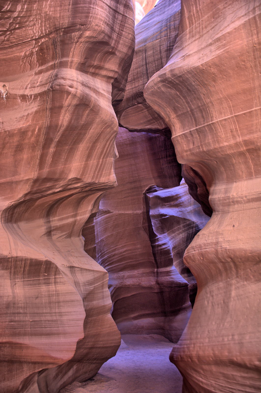
Antelope Canyon has two sections; lower and upper. You park at the entrance
to Lower Antelope Canyon, but must get a ride through deep sand along Antelope Wash to get to Upper Antelope Canyon. Chris had reservations for
the afternoon tour at Upper Antelope Canyon, and hoped for an
empty spot on a morning tour at Lower Antelope Canyon. He walked up and
asked for the first available tour for one person. He was very lucky, as the
next tour still had one spot left. If you do enter any tours on Navajo
Nation land on the same day, make sure you only pay the Navajo Nation entry fee ($8 /
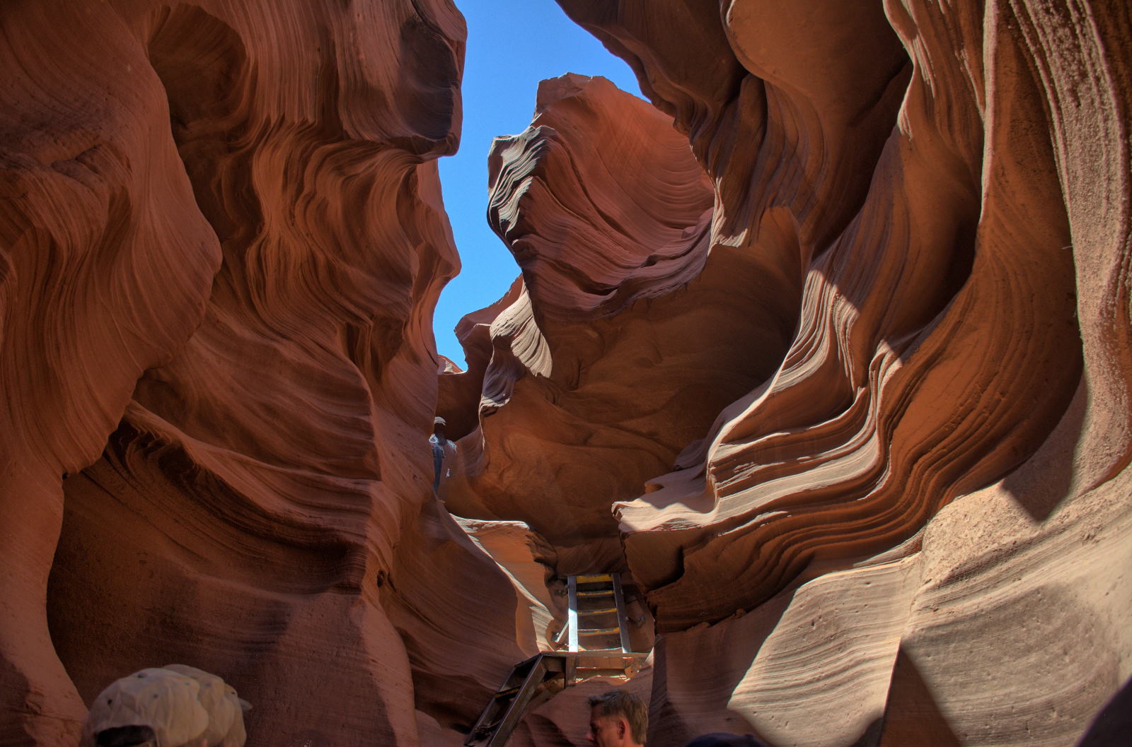
day) once, as it is good for all locations on a single day. Lower Antelope
Canyon requires some climbing on ladders and stairs; these photos are from Lower
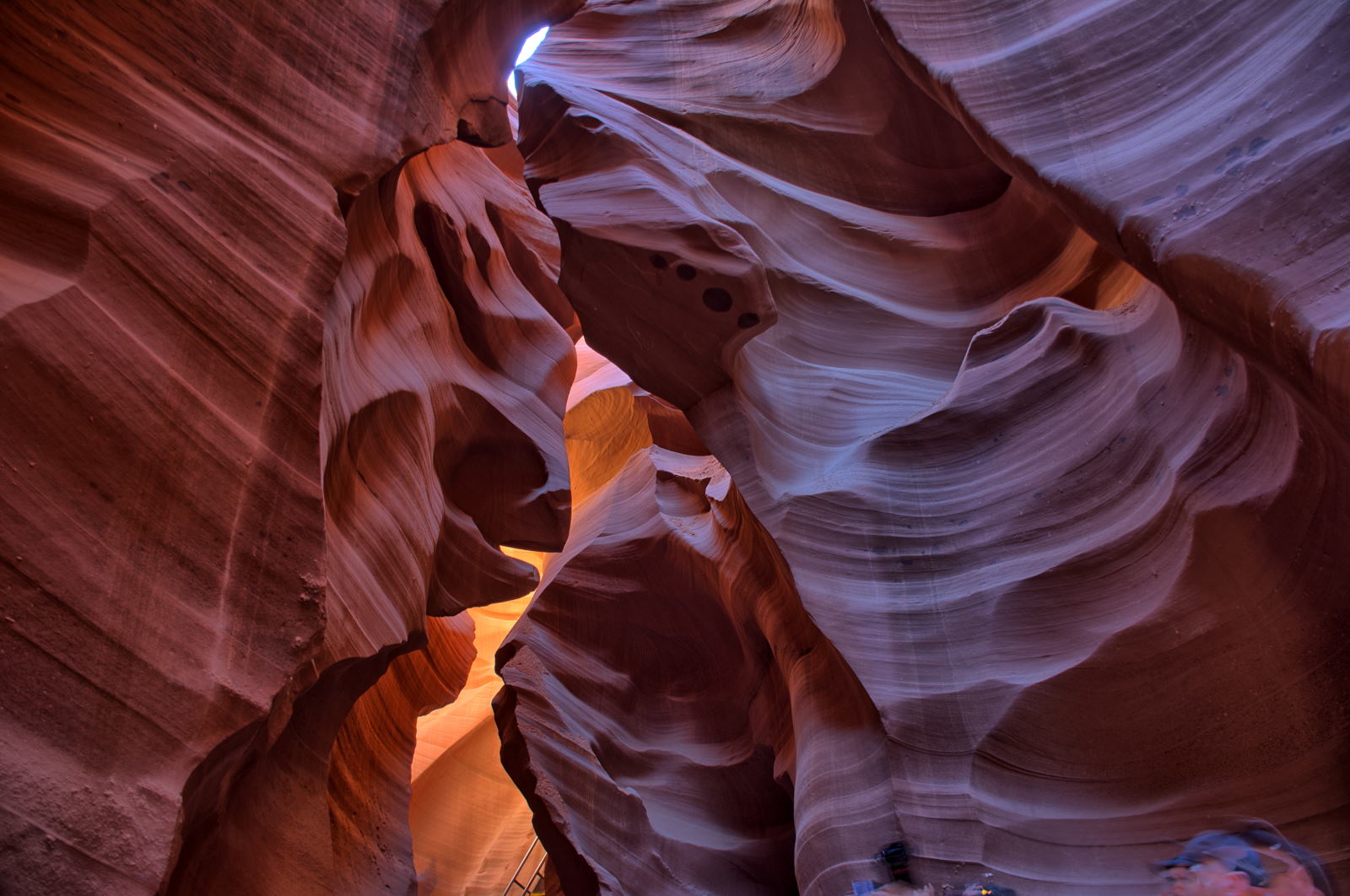
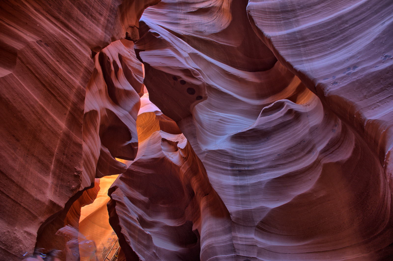
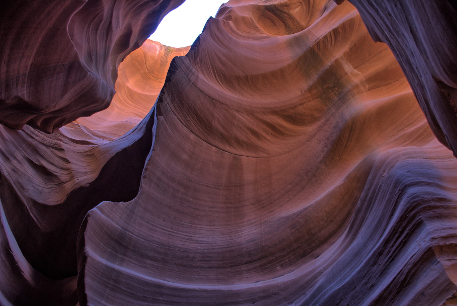
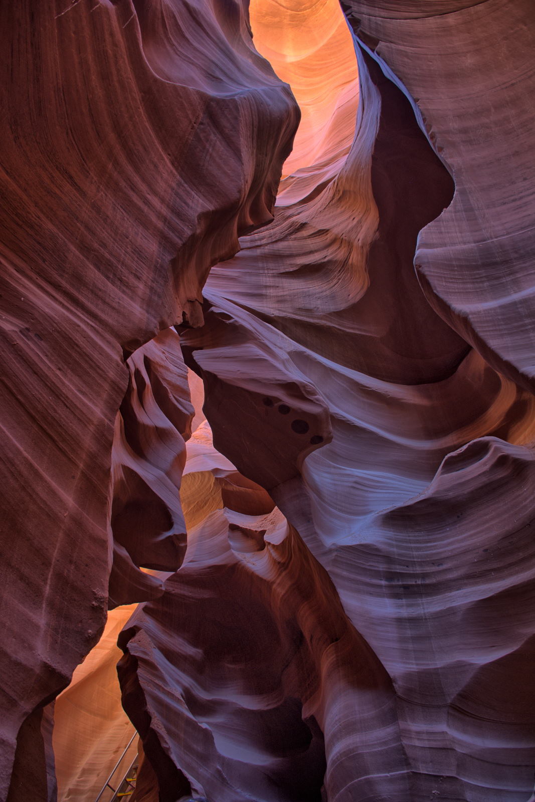
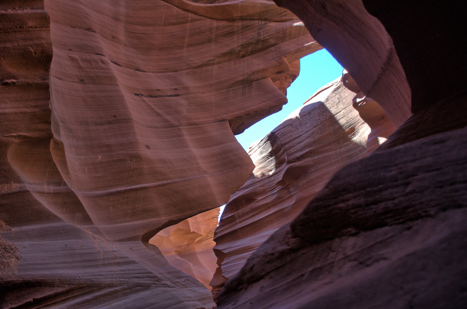
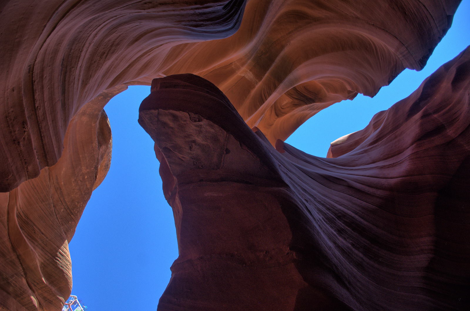
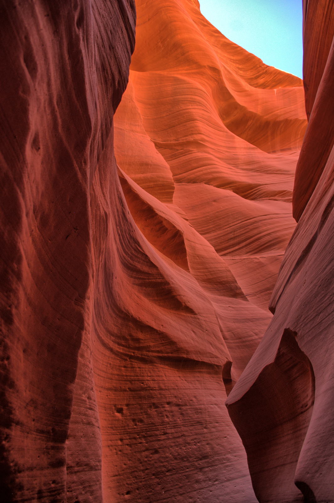
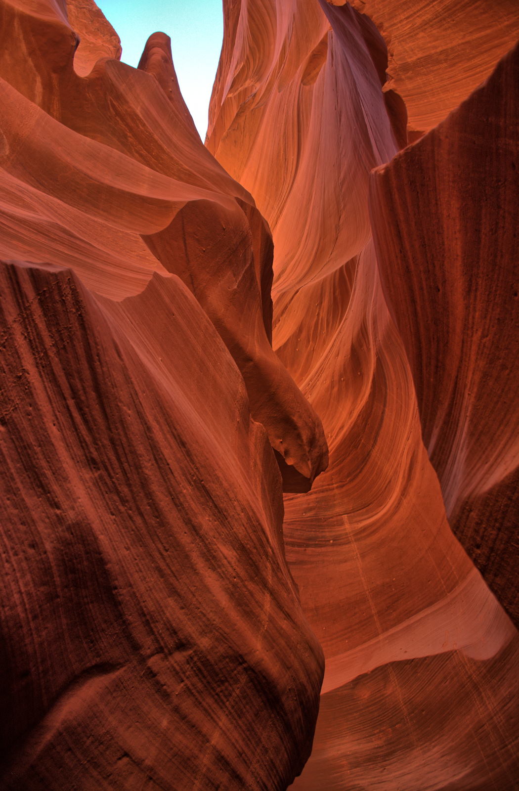
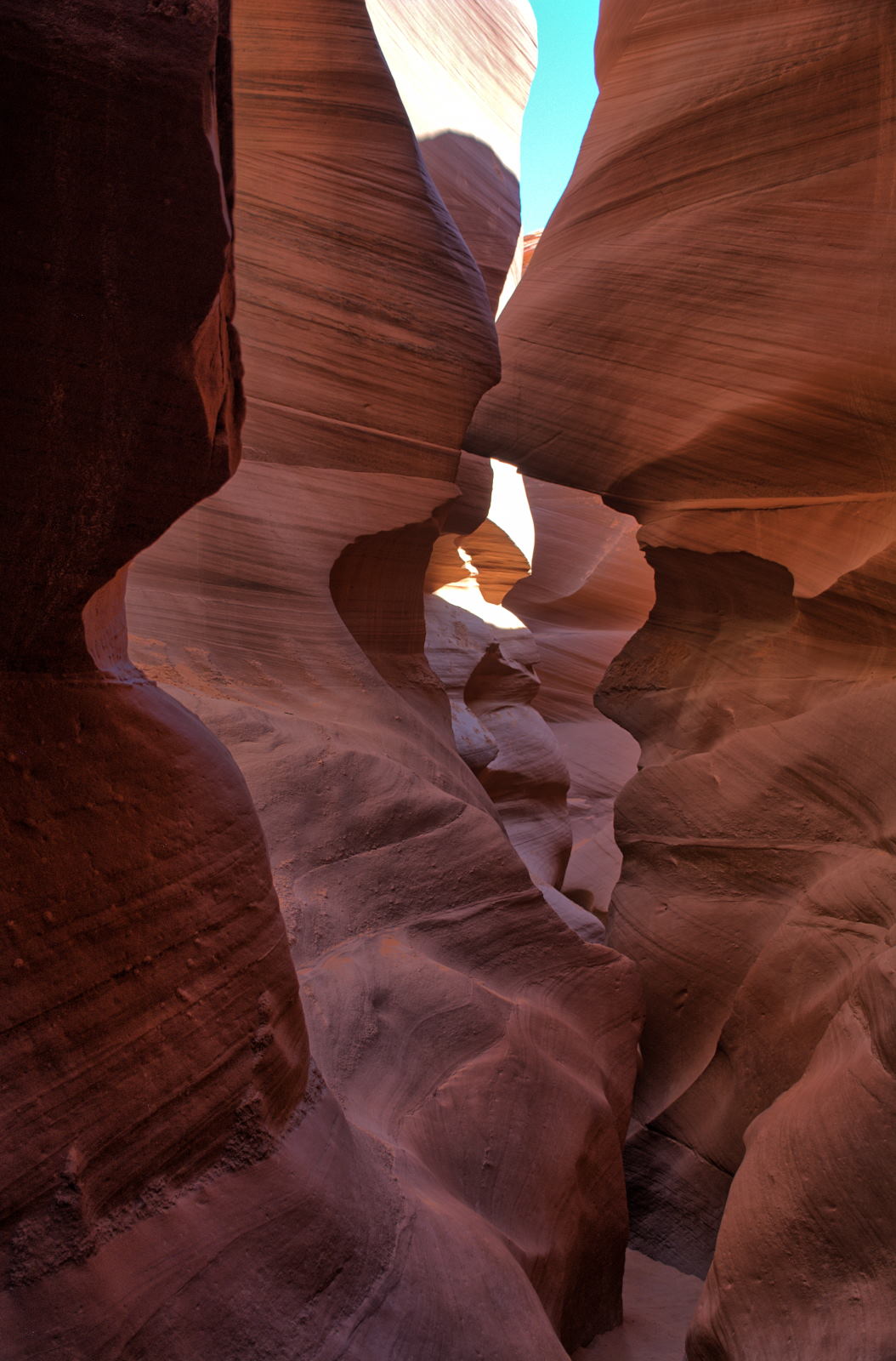
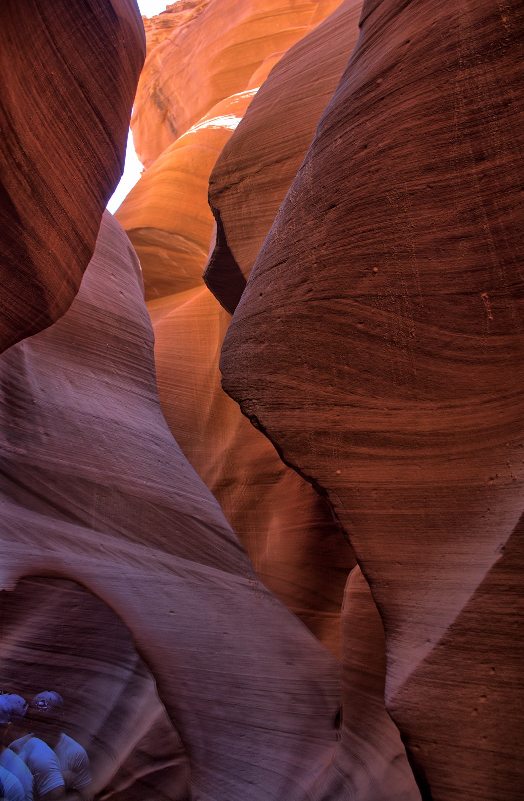
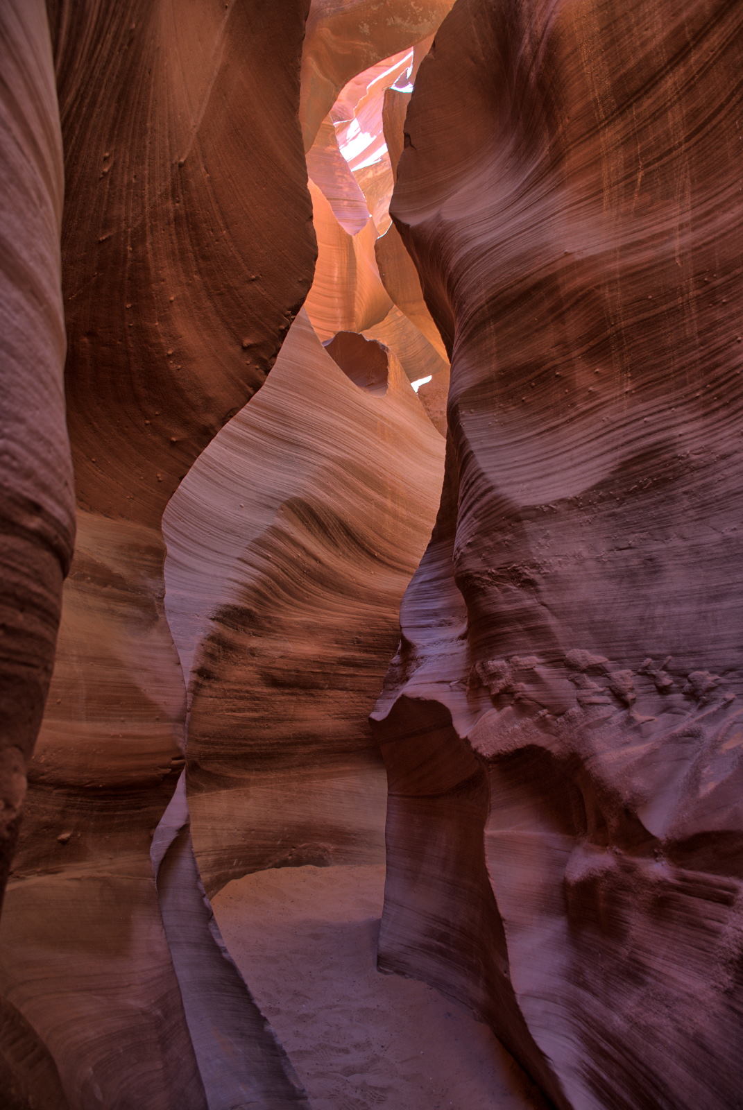
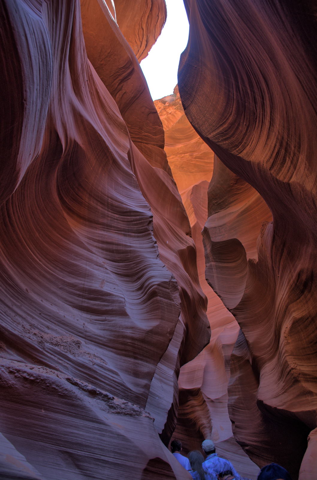
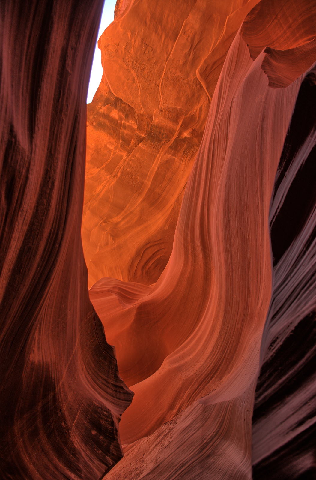
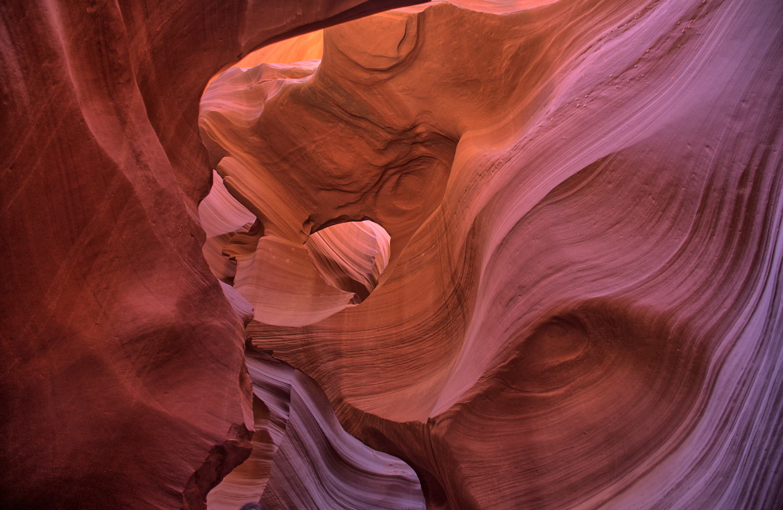
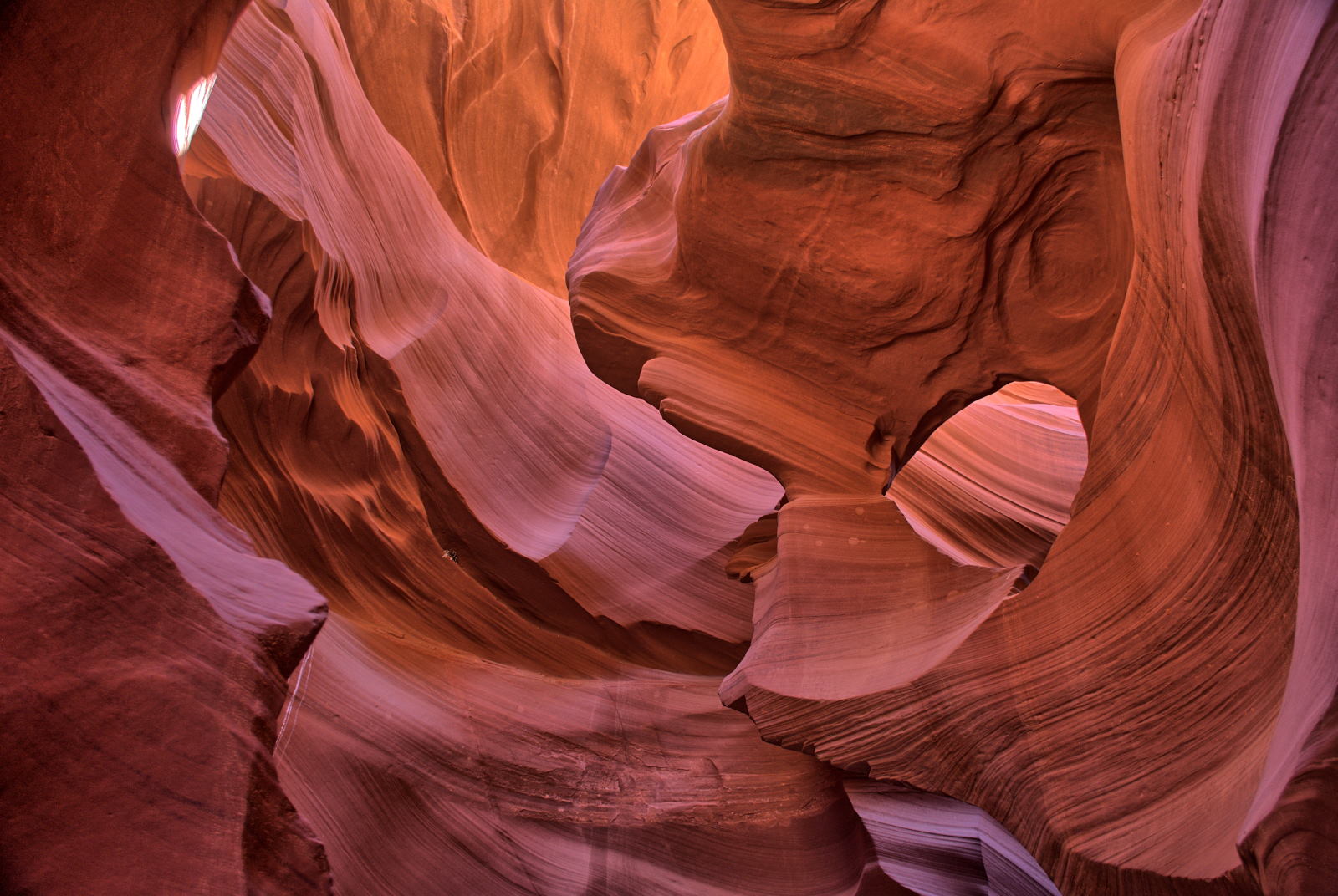
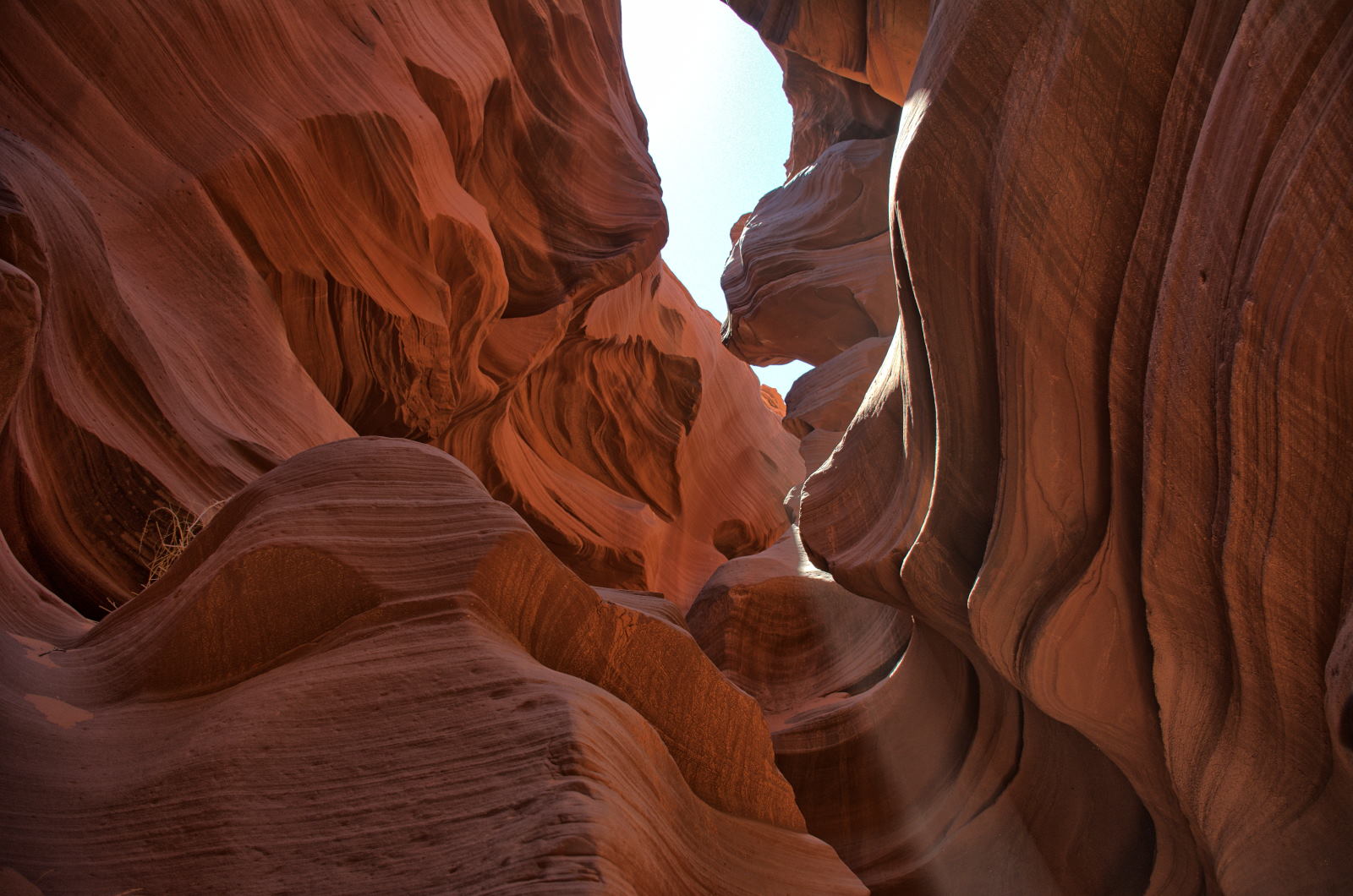
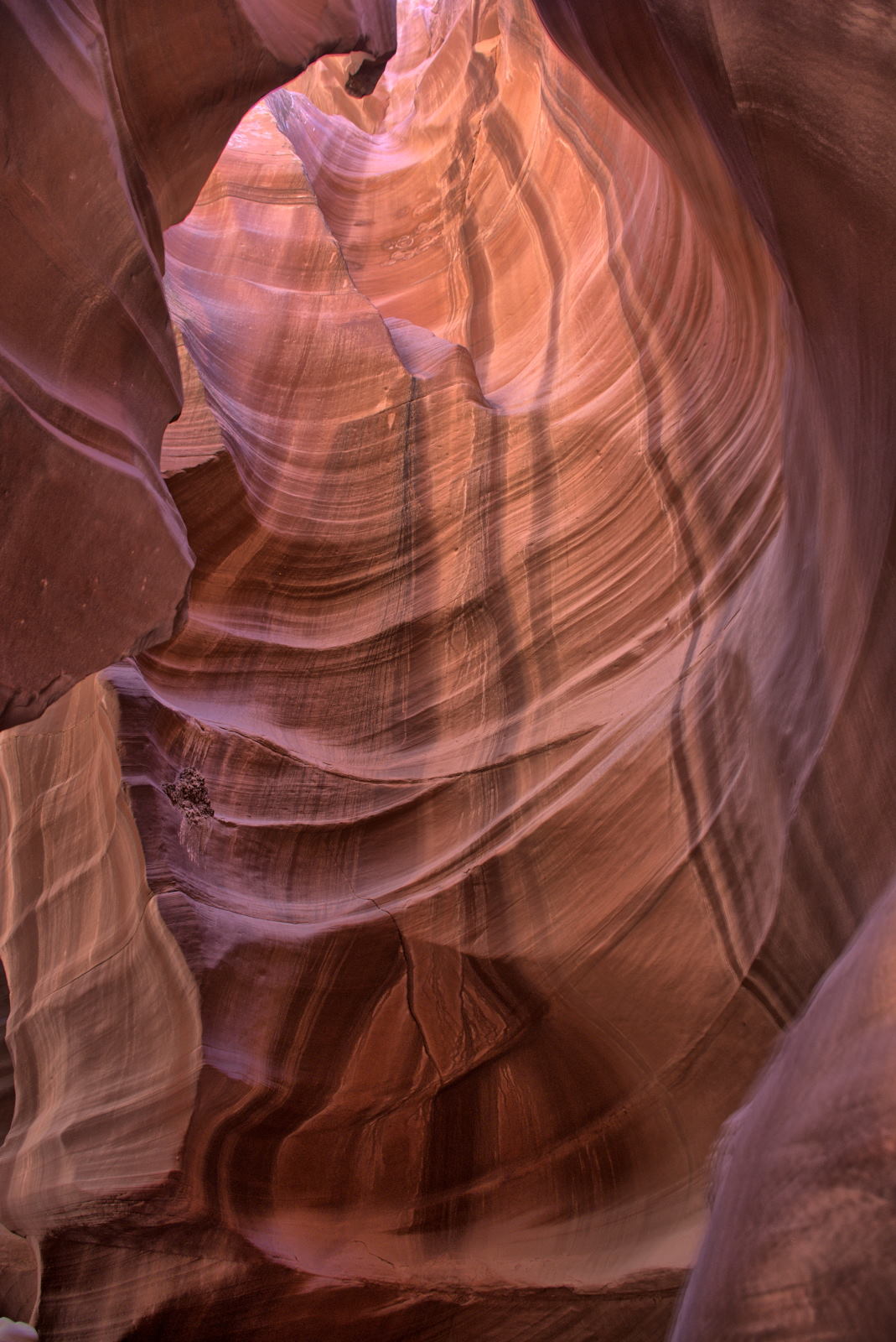
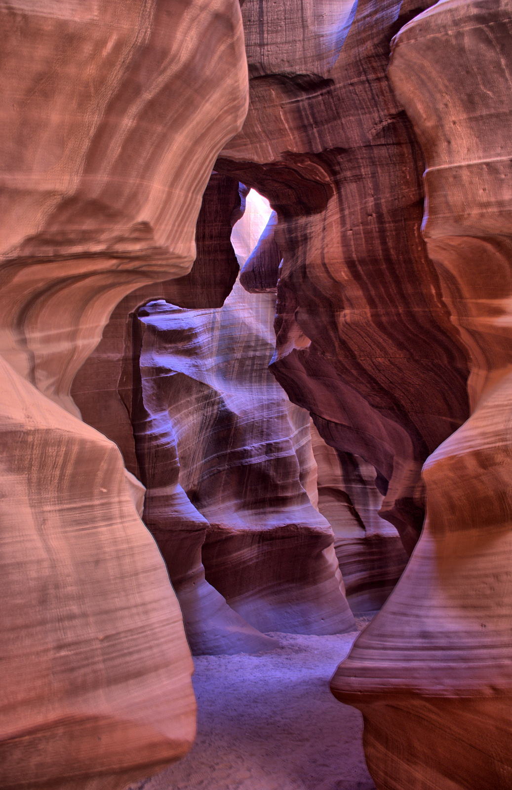
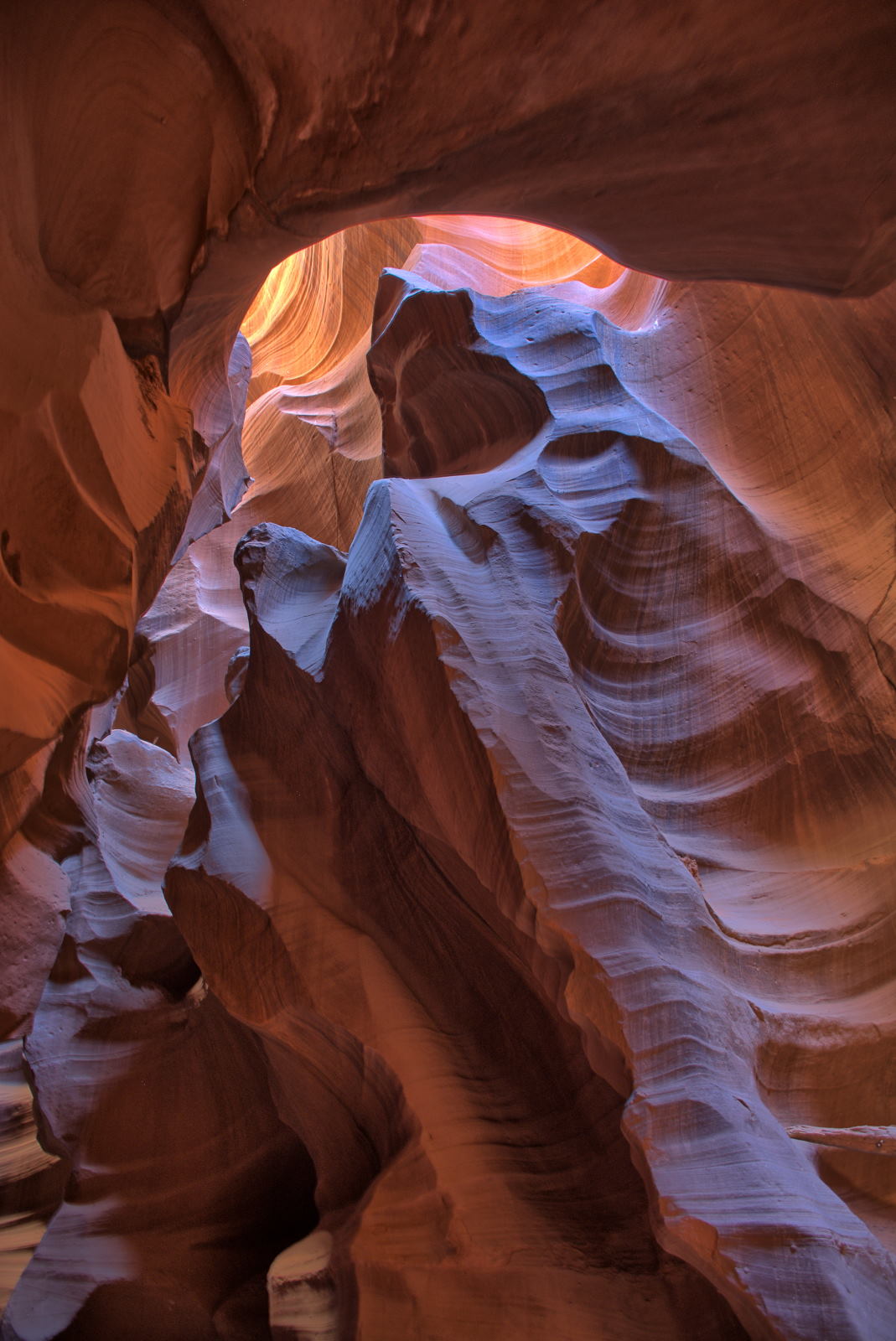
Antelope Canyon on the 9:45 tour.
Lower Antelope Canyon.
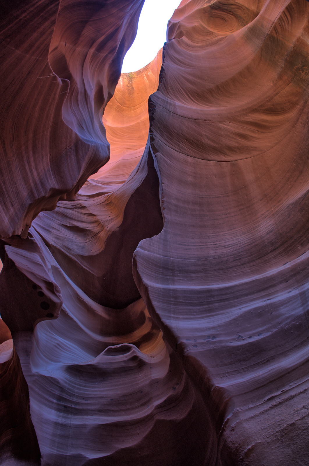
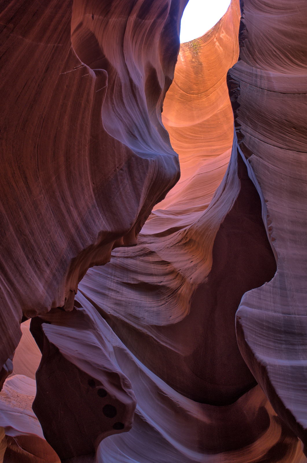
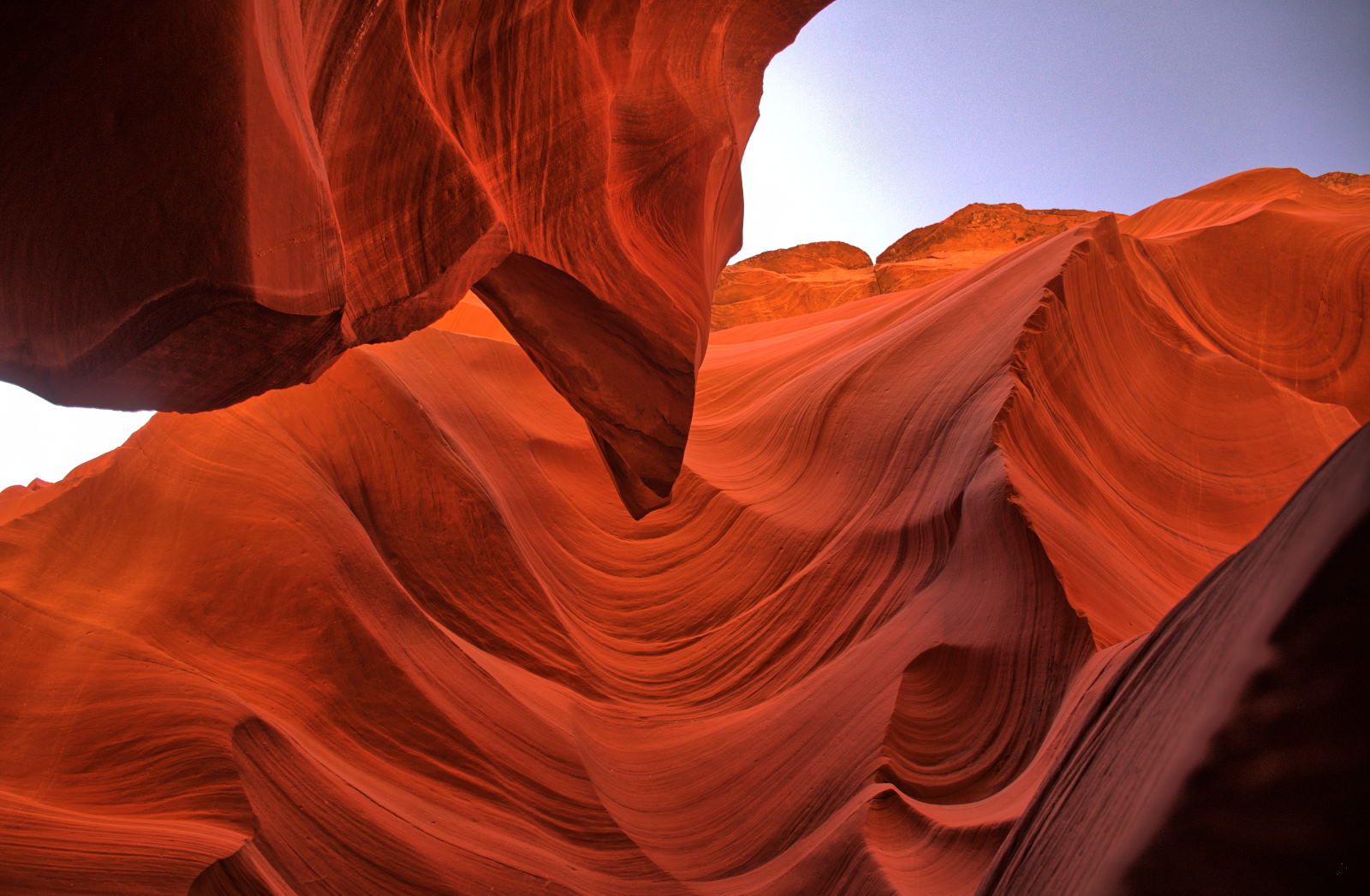
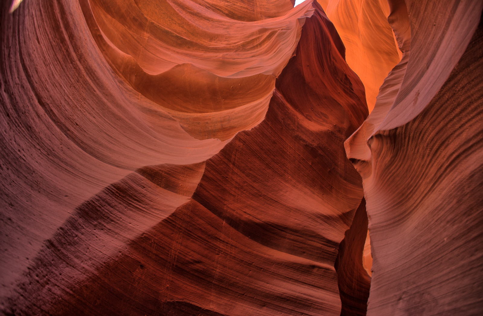
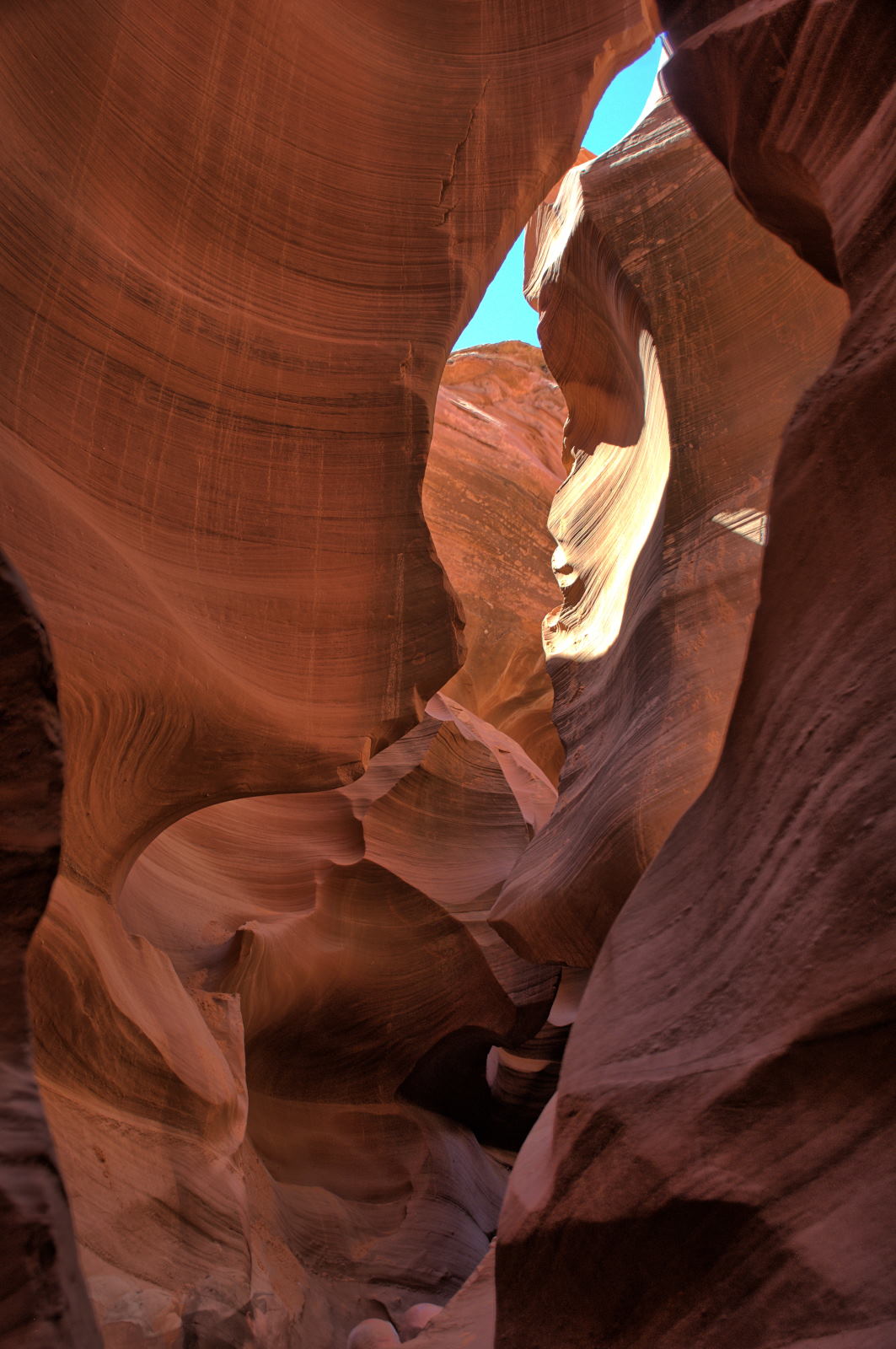
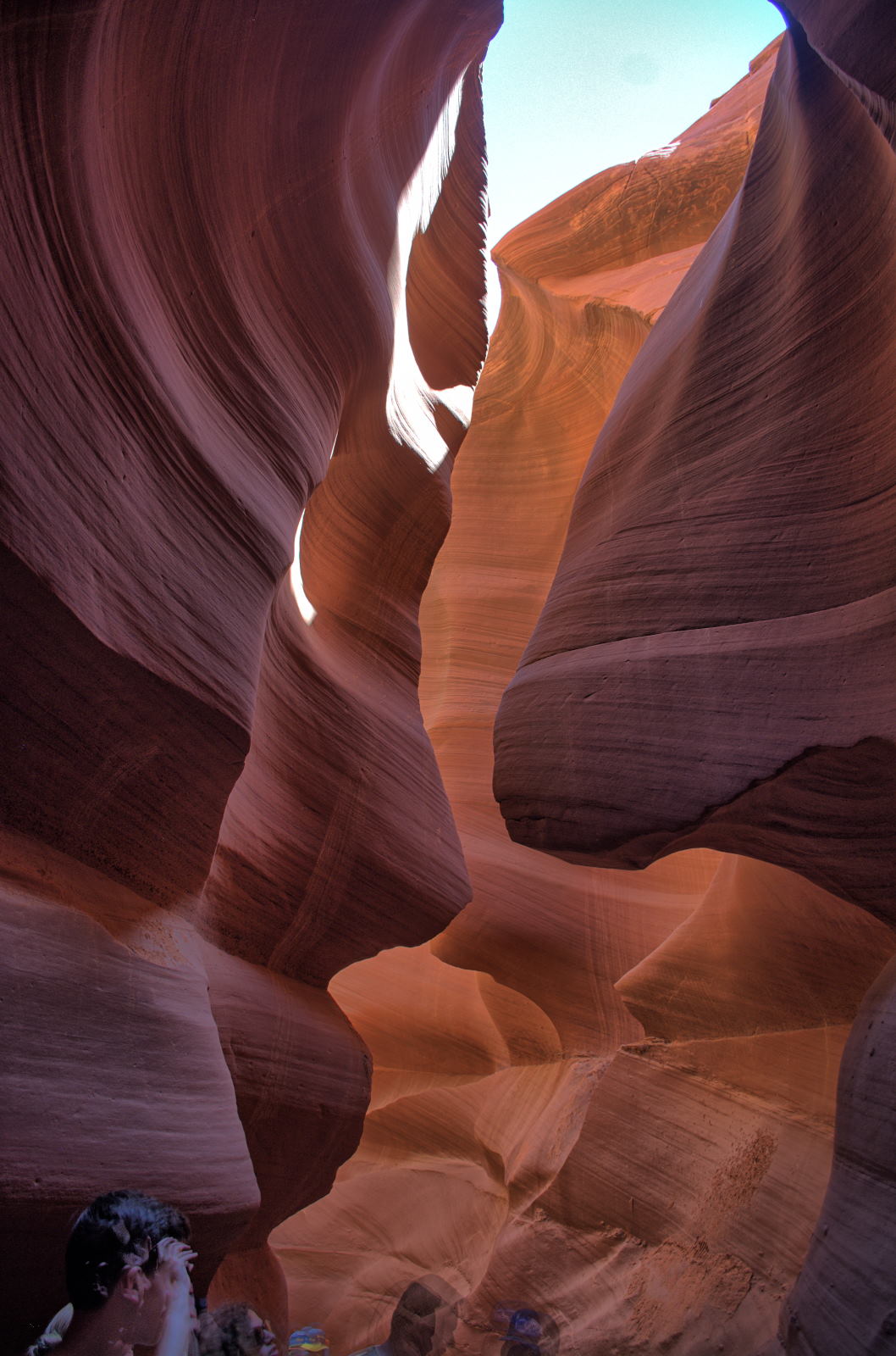
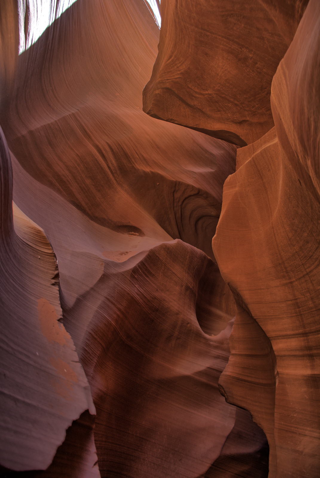
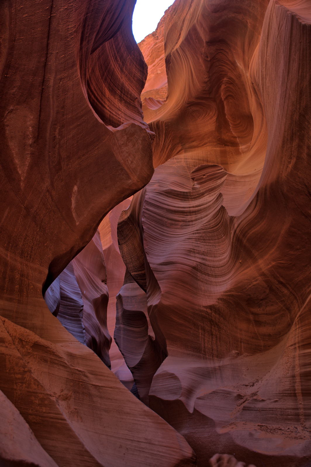
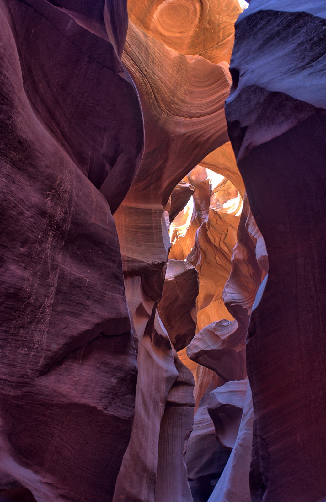
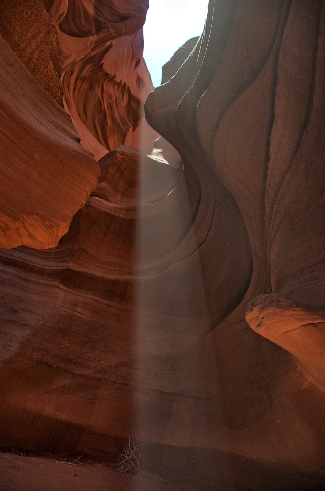
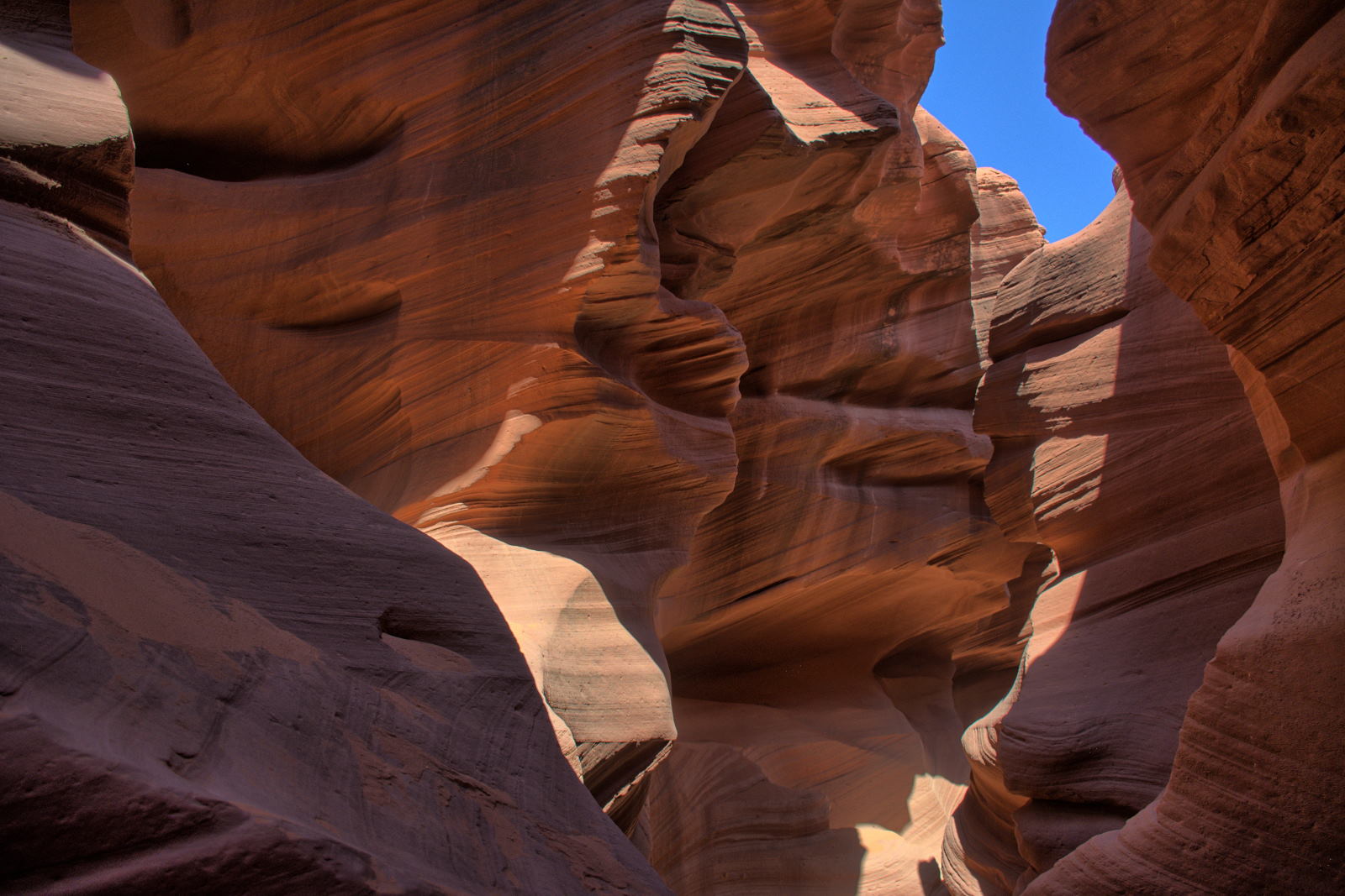
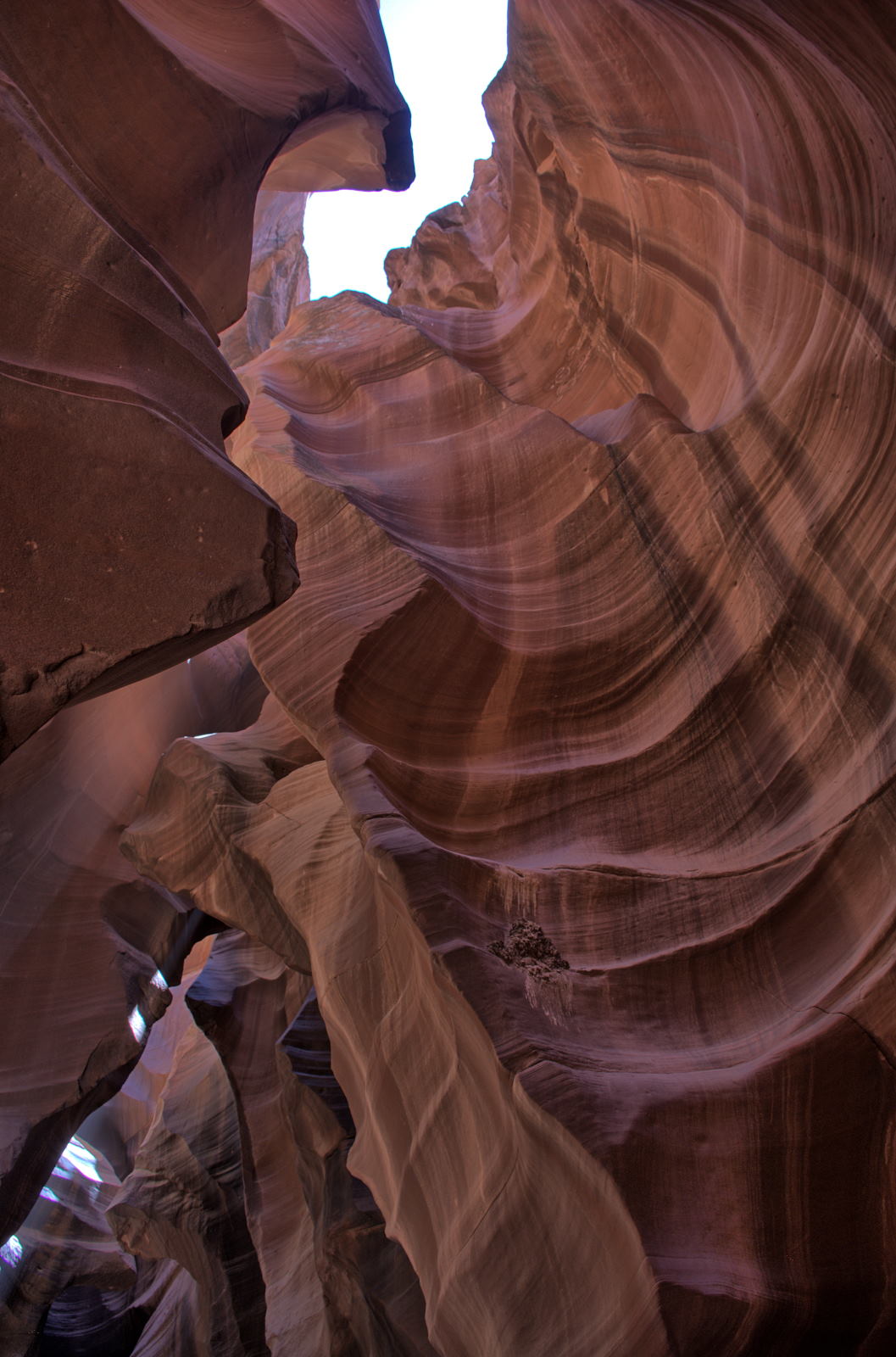
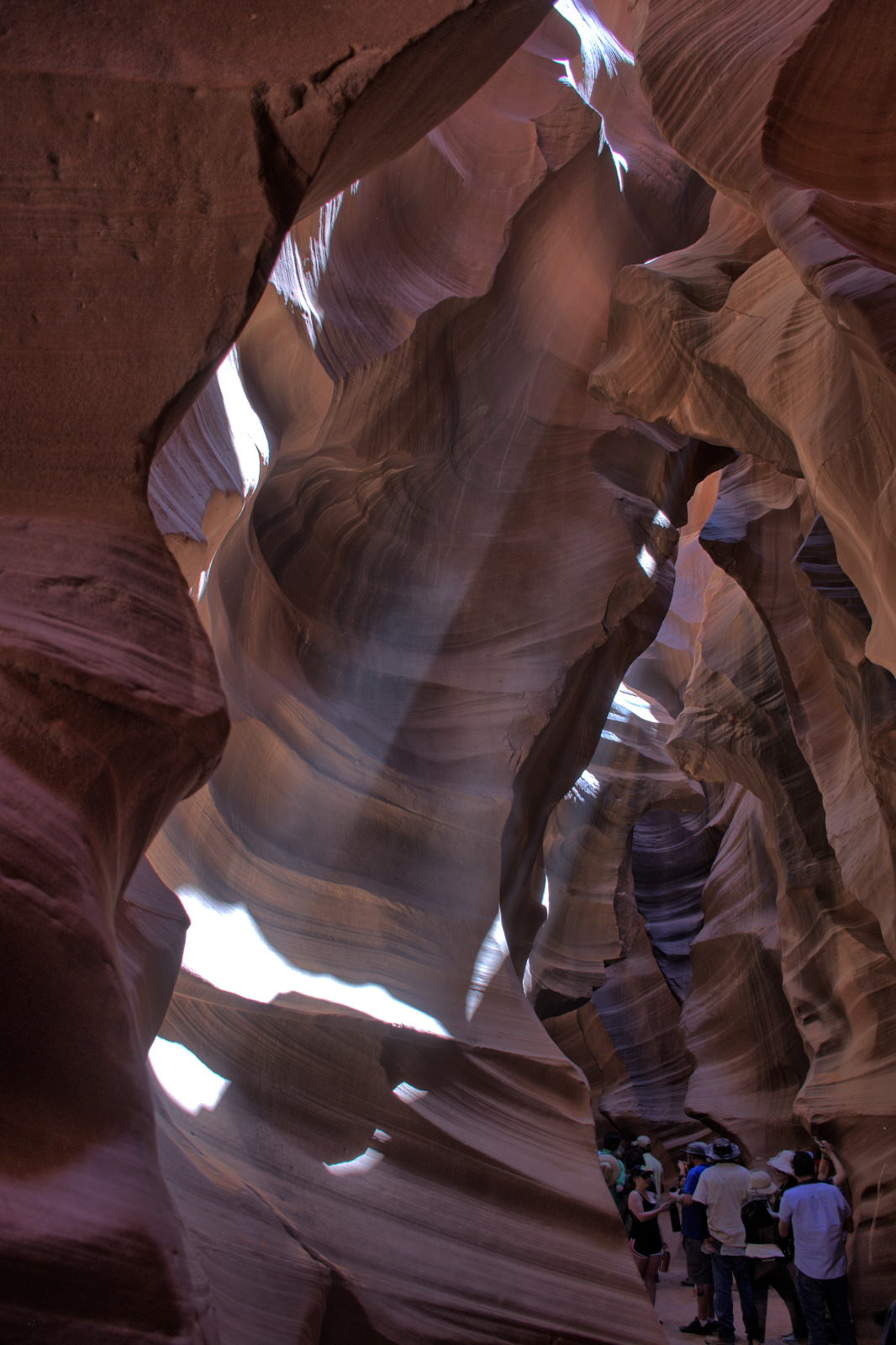
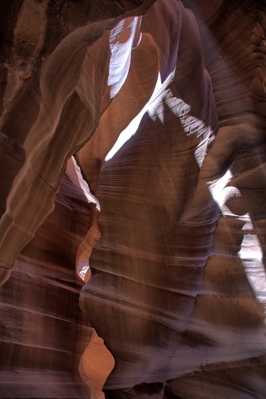
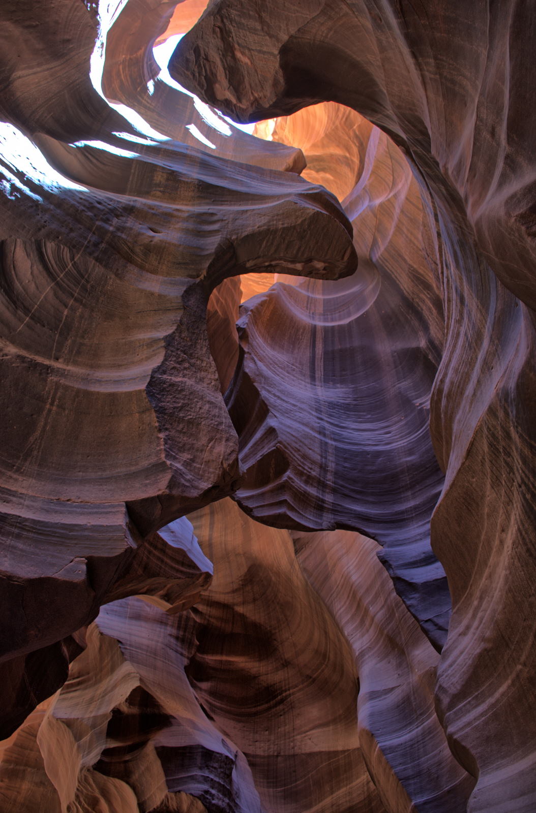
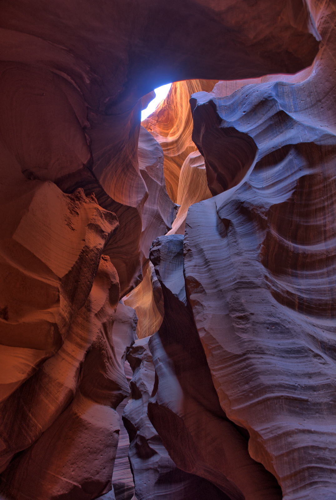
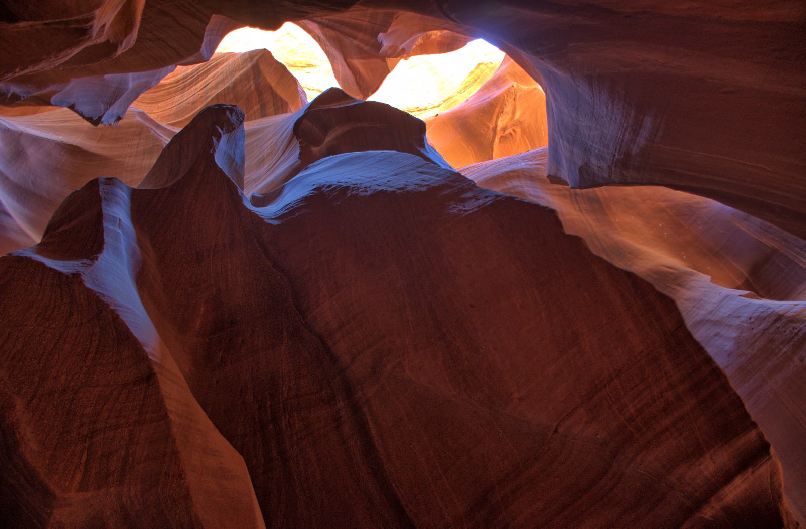
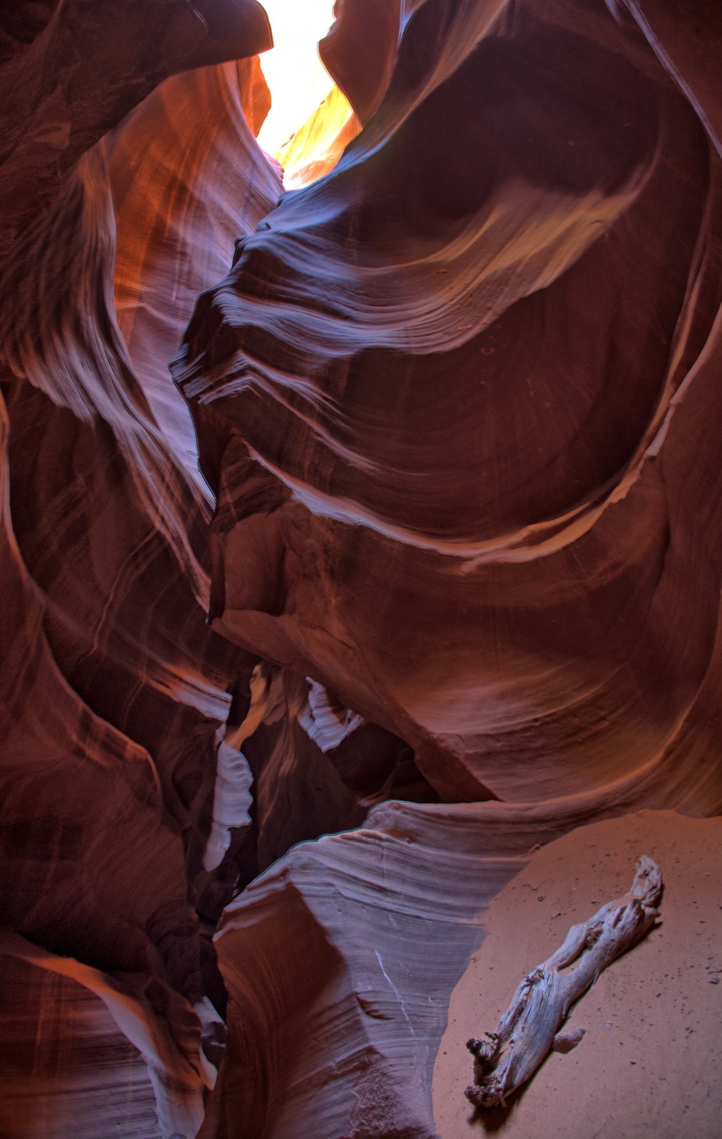
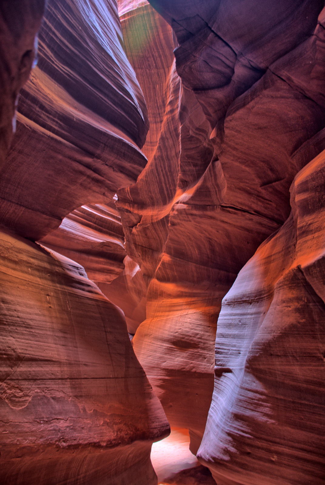
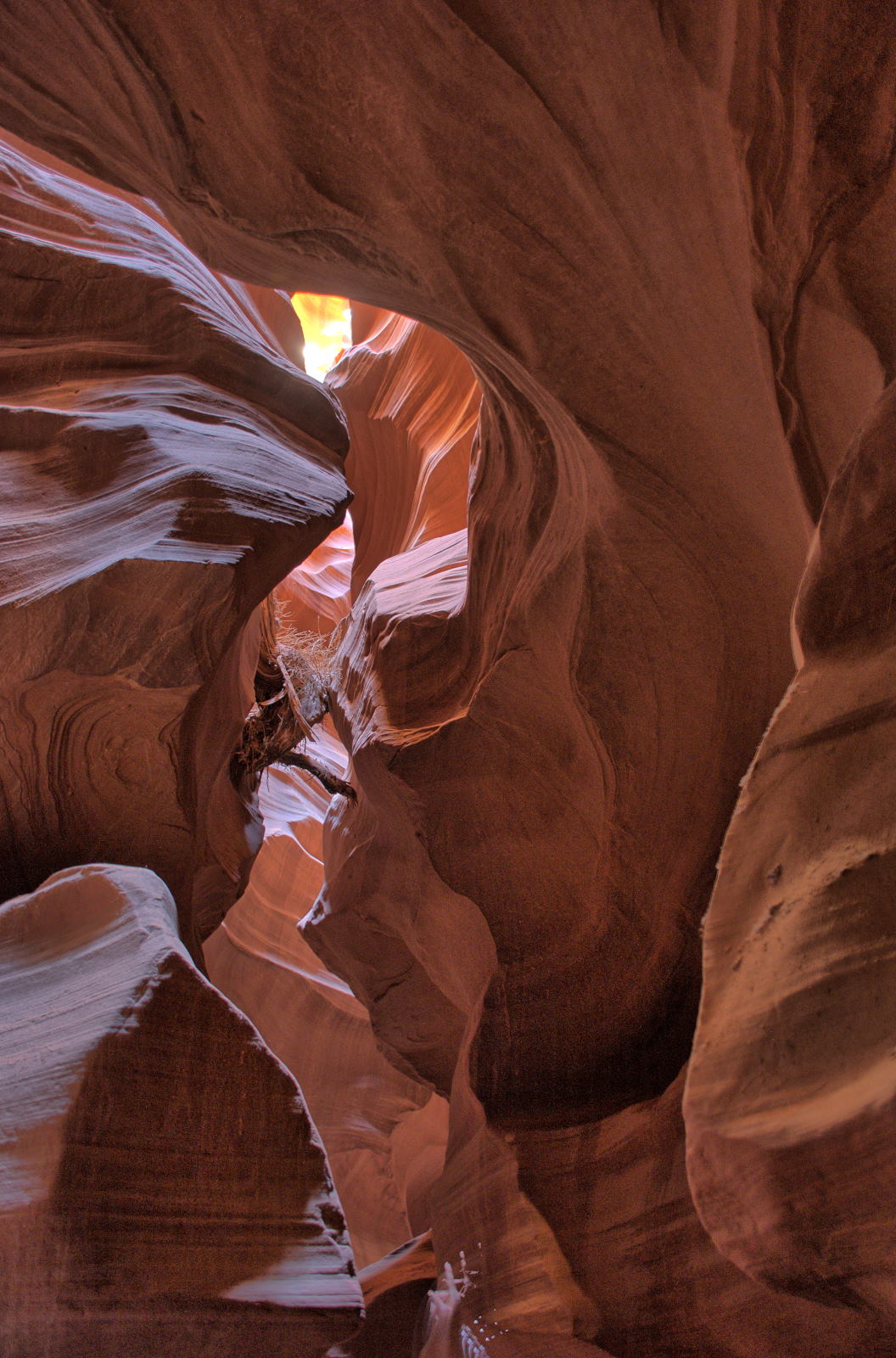
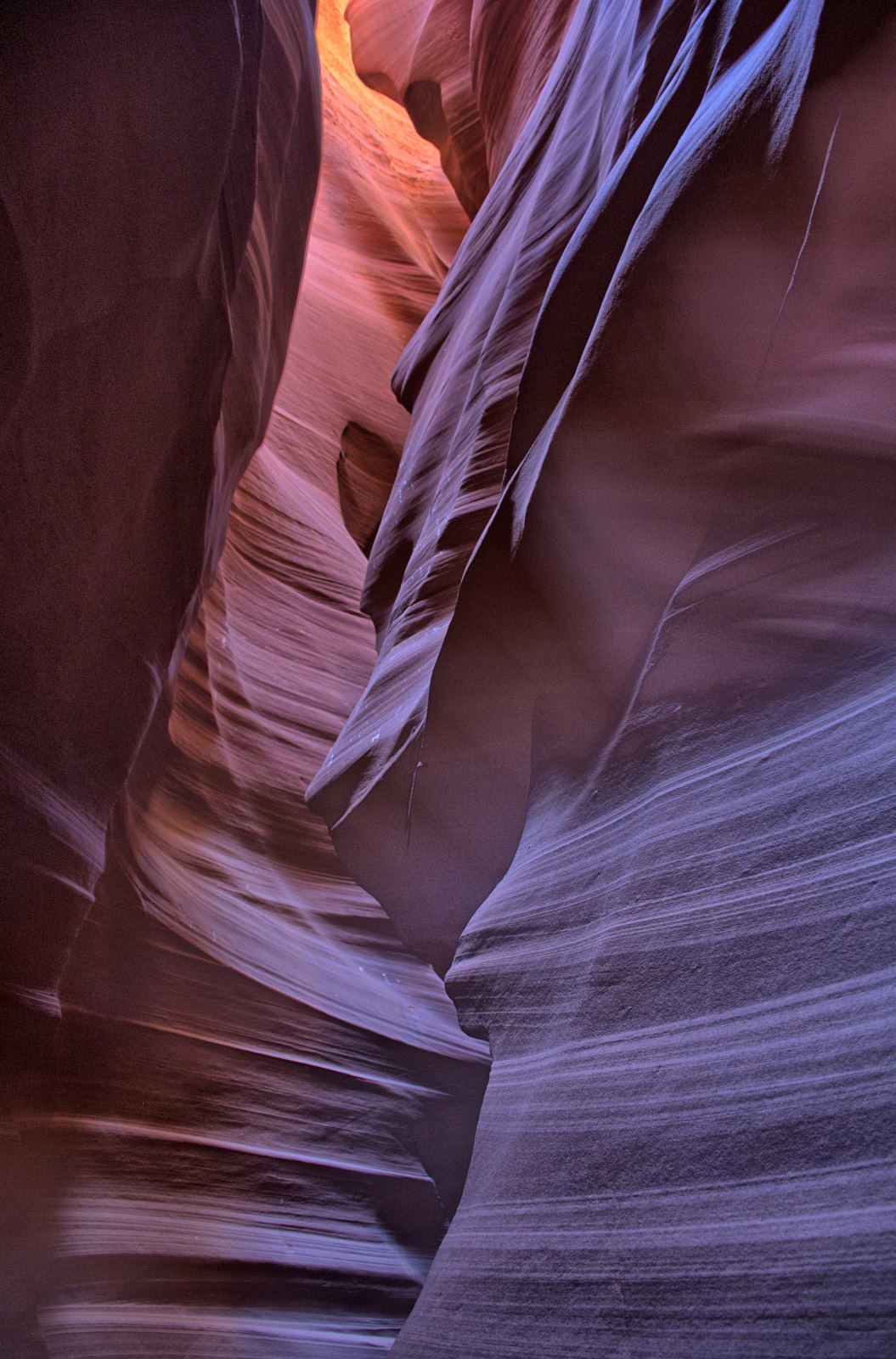
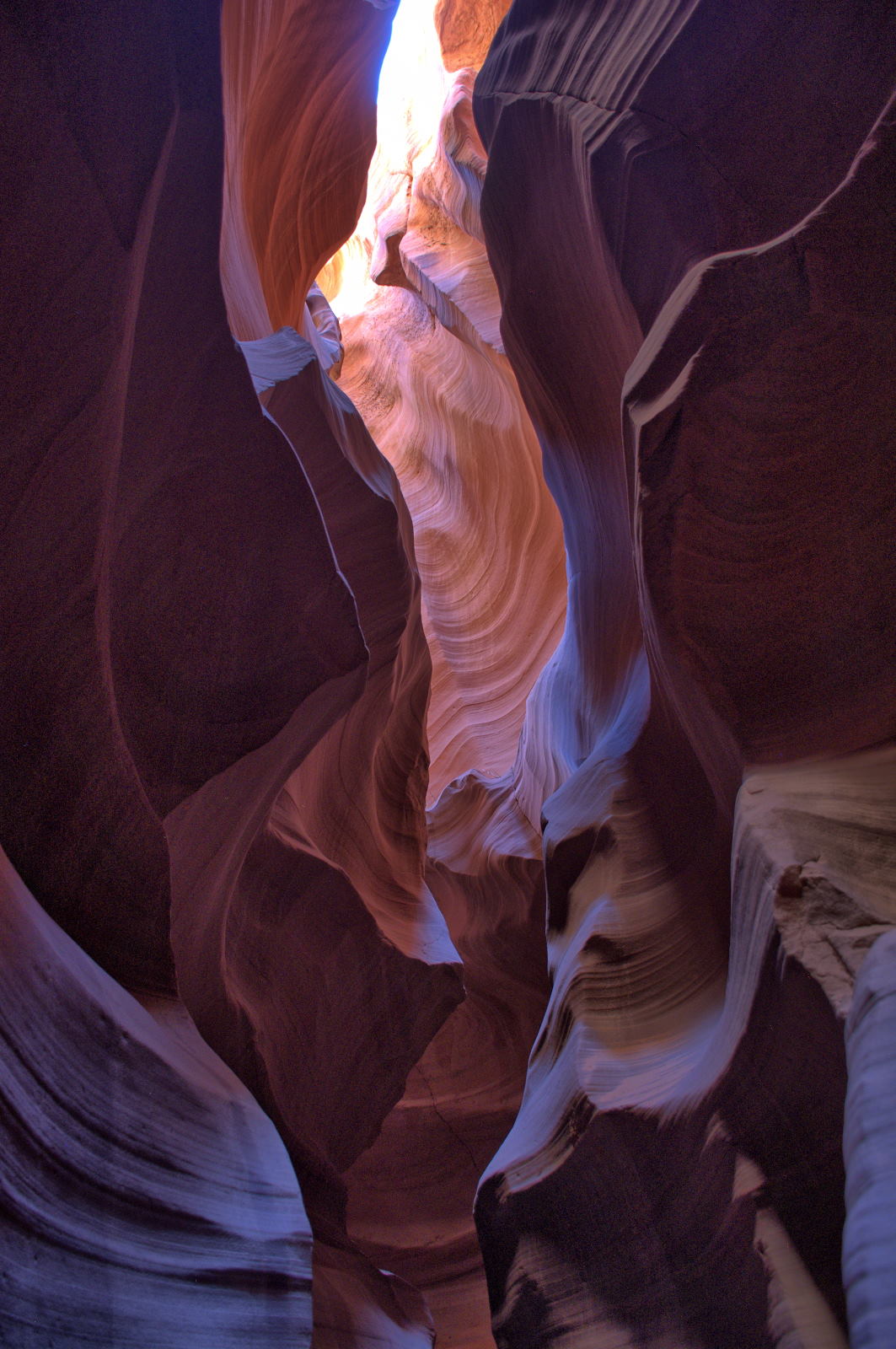
Chris went into Page to get lunch near the Upper Antelope Canyon tour office, and then got on the
tour shuttle to Upper Antelope Canyon. Upper Antelope Canyon is
flat, with no climbing. The video and photos below are from Upper Antelope
Canyon.
After this tour, Chris got some dinner and then visited Glen Canyon Dam. He
went to Wahweap Beach at Lake Powell and relaxed while swimming at sunset.
He then drove back to White House Campground for the night. This was the fifth
and final night he camped at White House Campground on this trip.
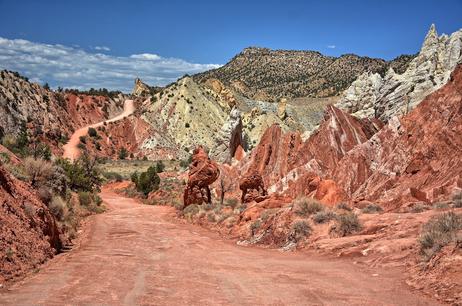
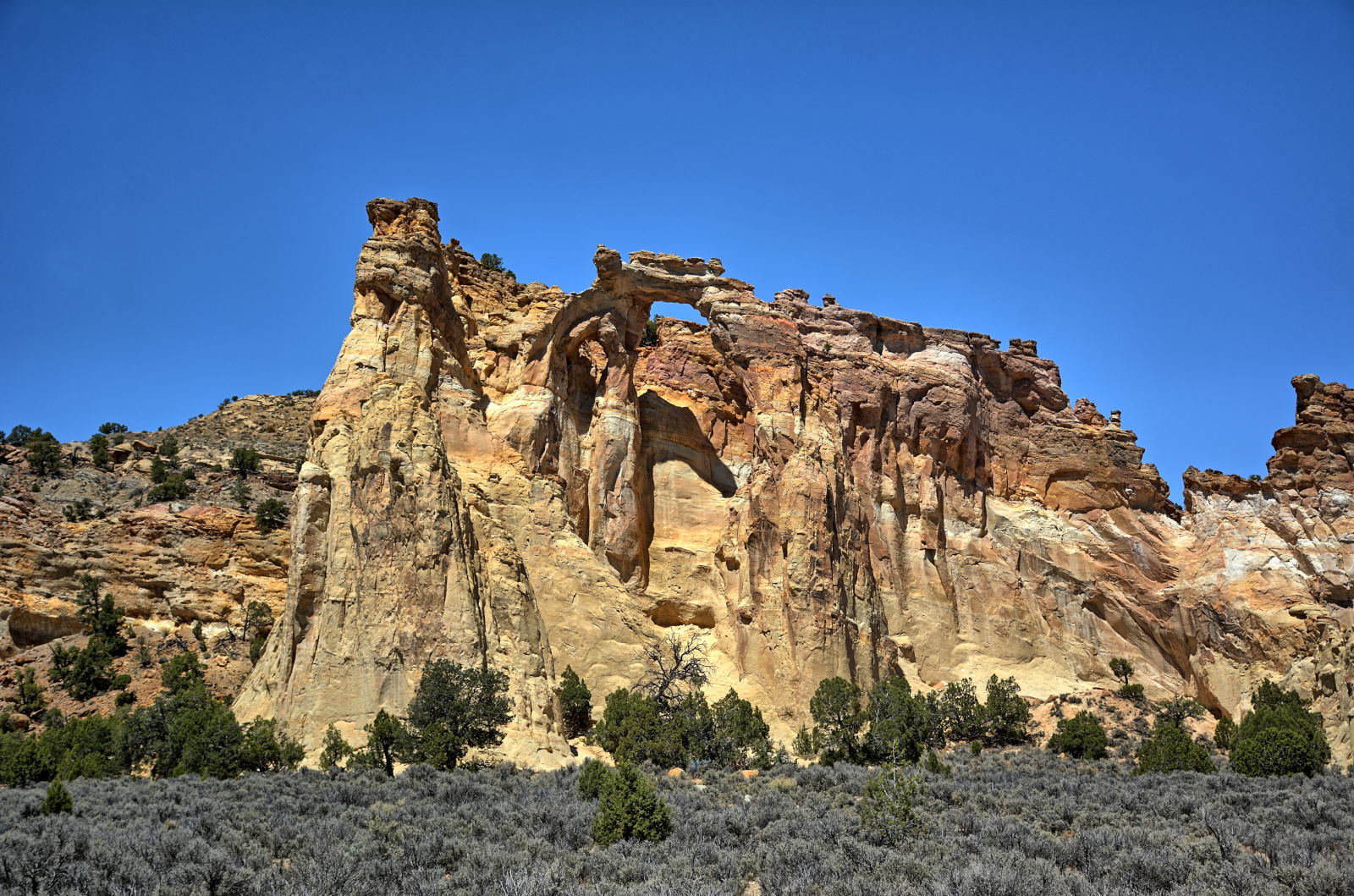
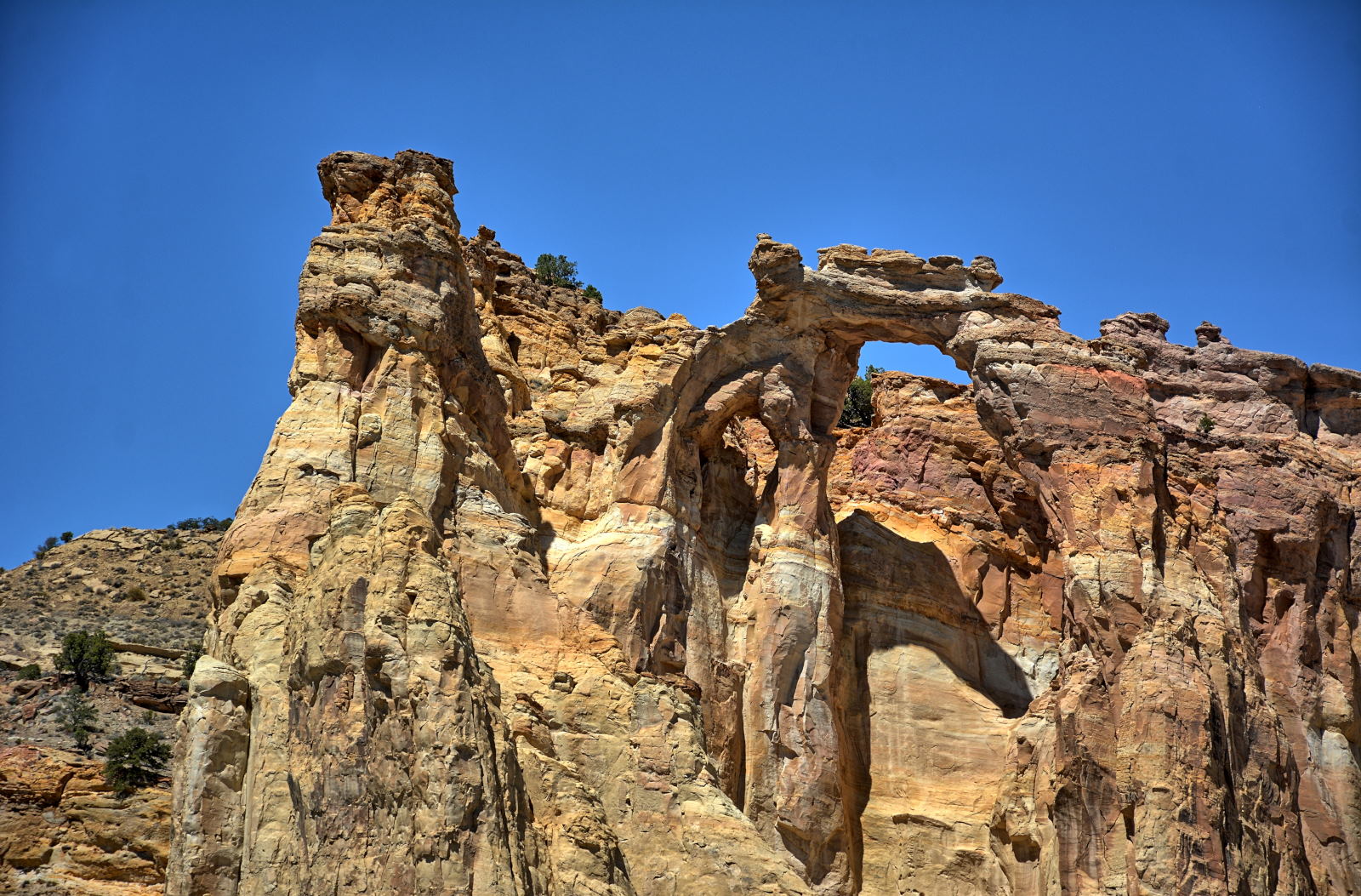
Chris drove north along Cottonwood Canyon Road, headed towards Tropic, Utah,
where he had hotel reservations for the night. He stopped at Cottonwood
Narrows and hiked for several hours, then continued on to Grosvenor Arch, and
finally made it to Tropic. He checked in, cleaned up, and then drove up to
Bryce Canyon National Park for sunset and then dinner in Bryce before returning
to his hotel.
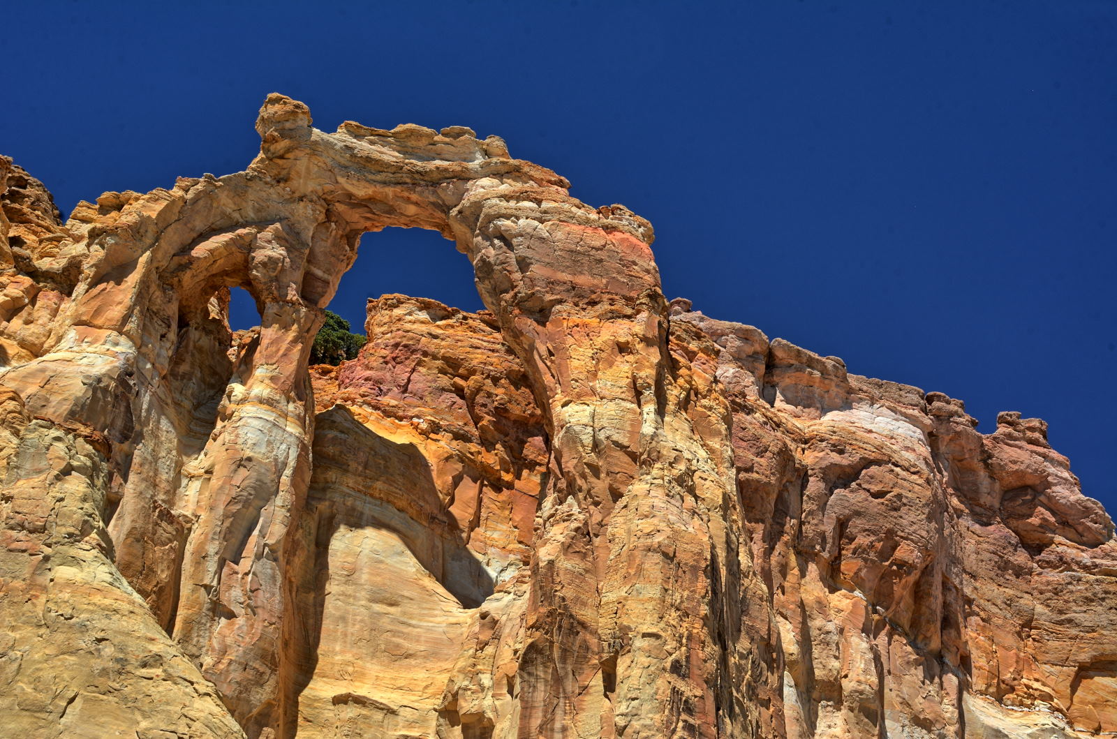
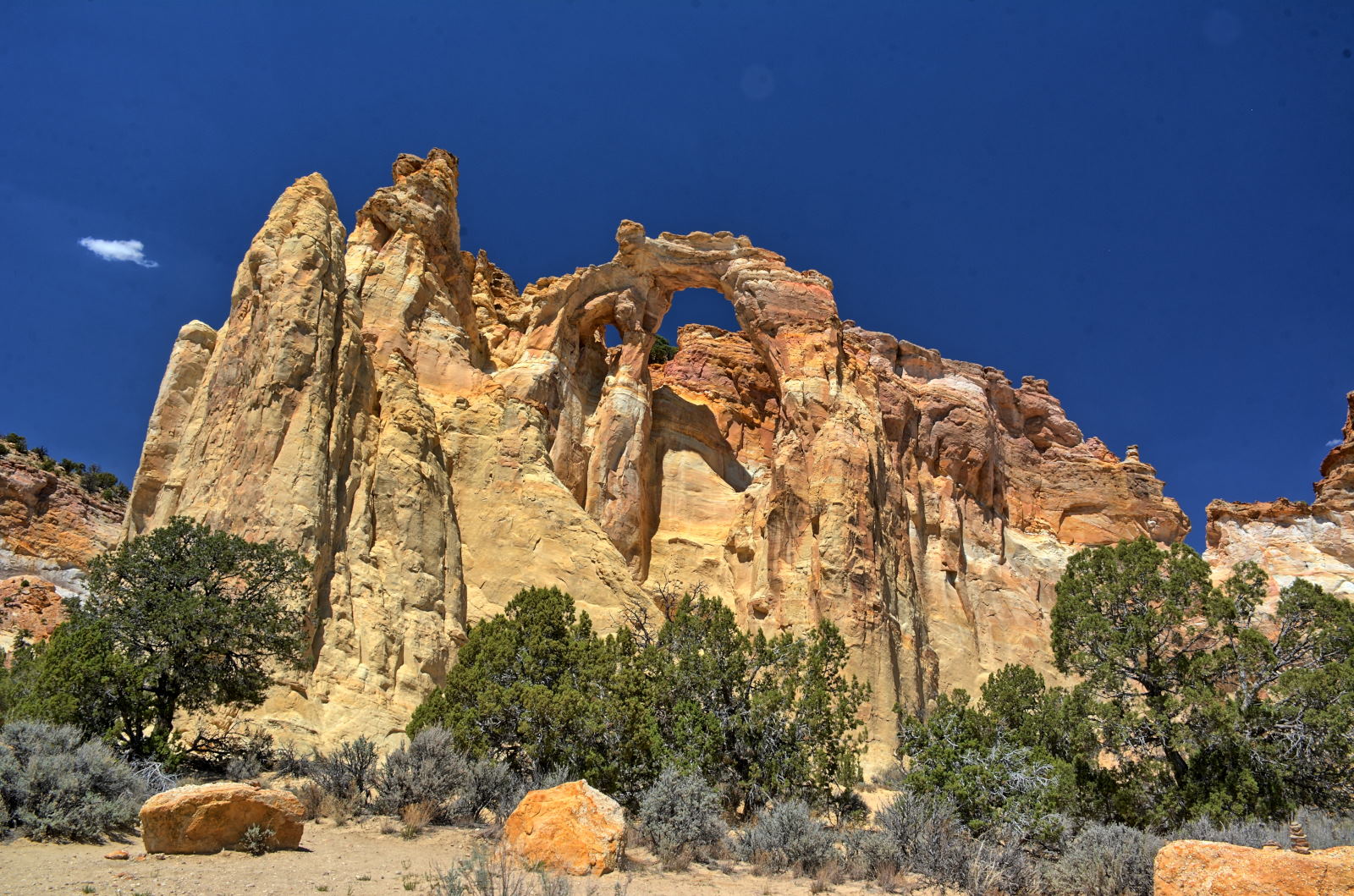
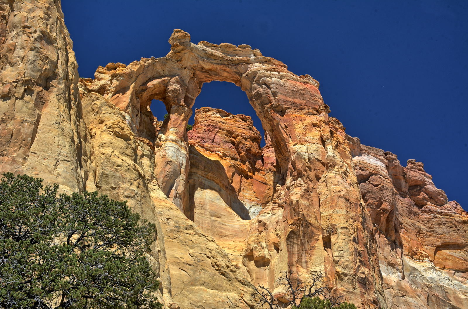
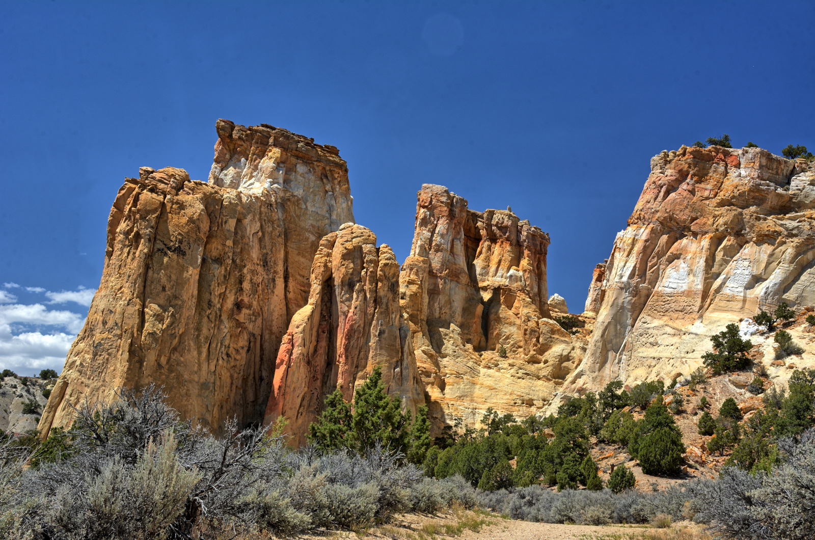
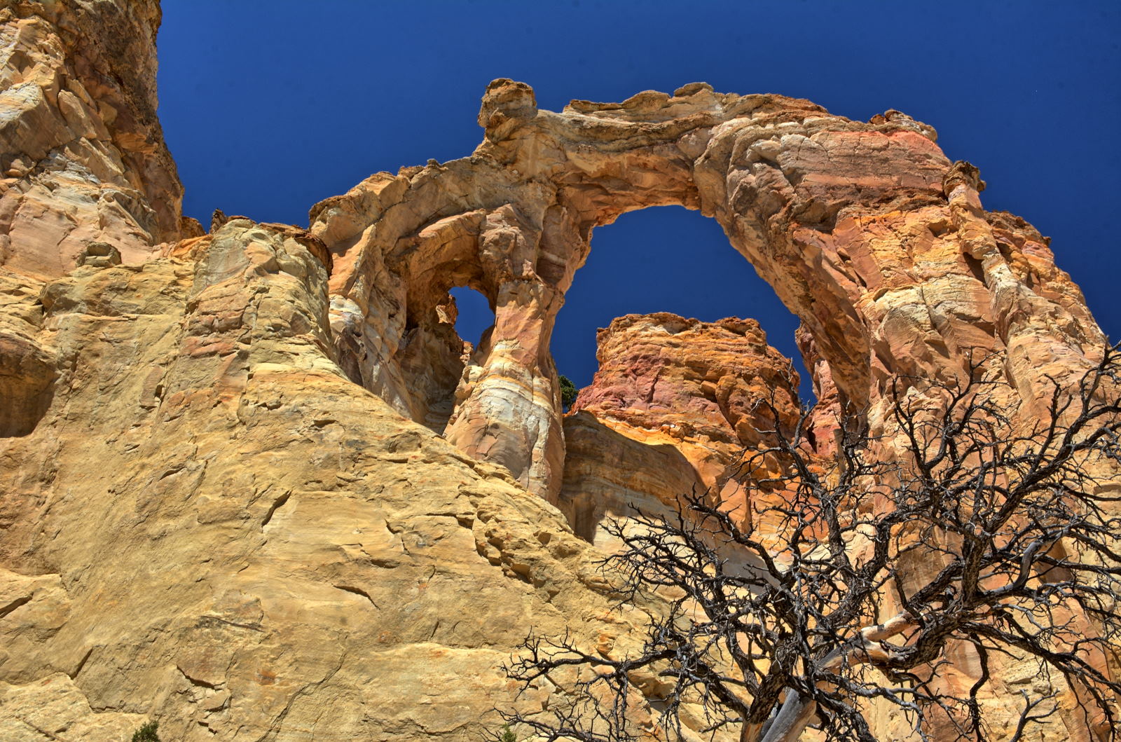
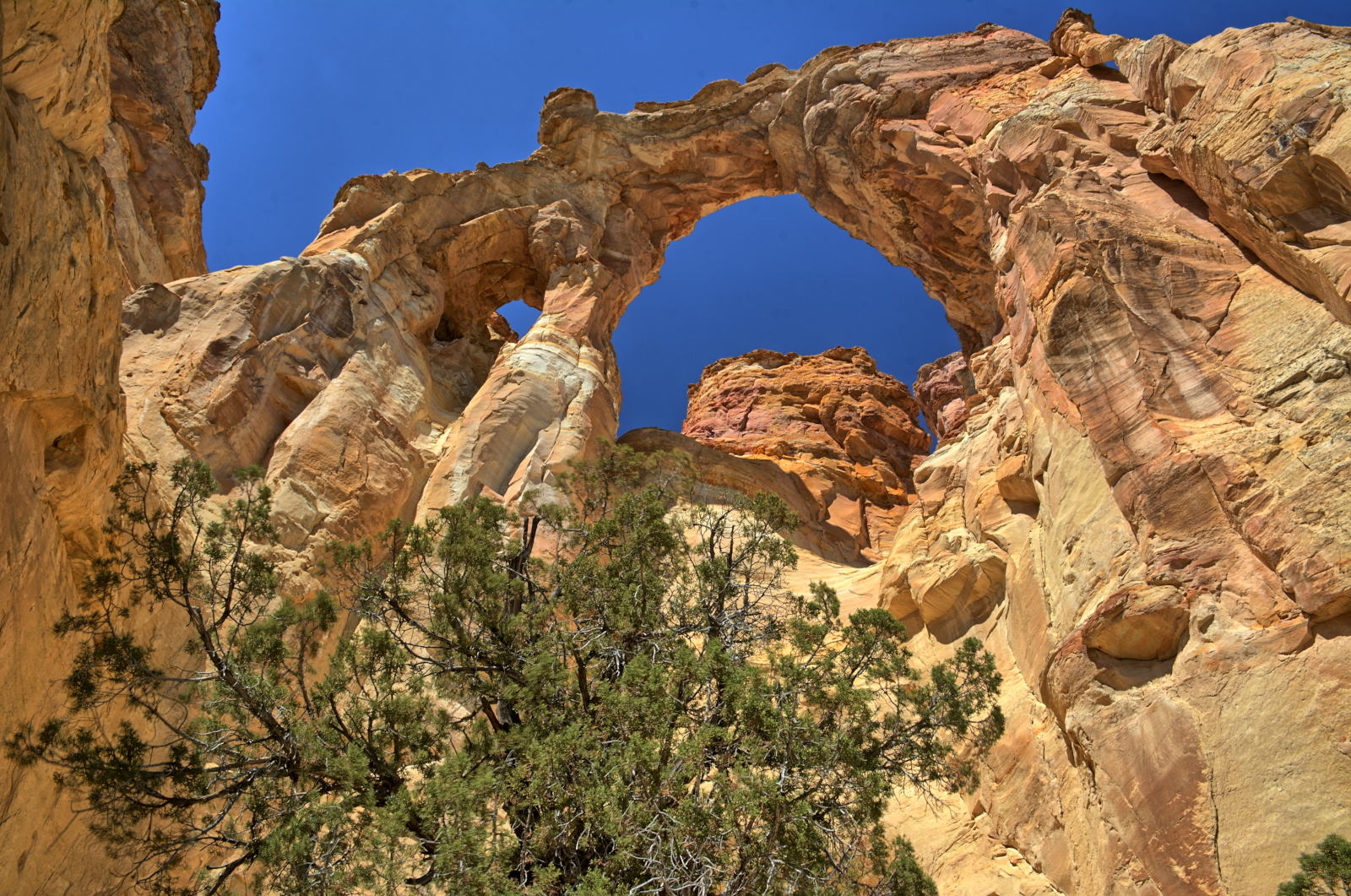
Grosvenor Arch, Grand Staircase - Escalante National Monument
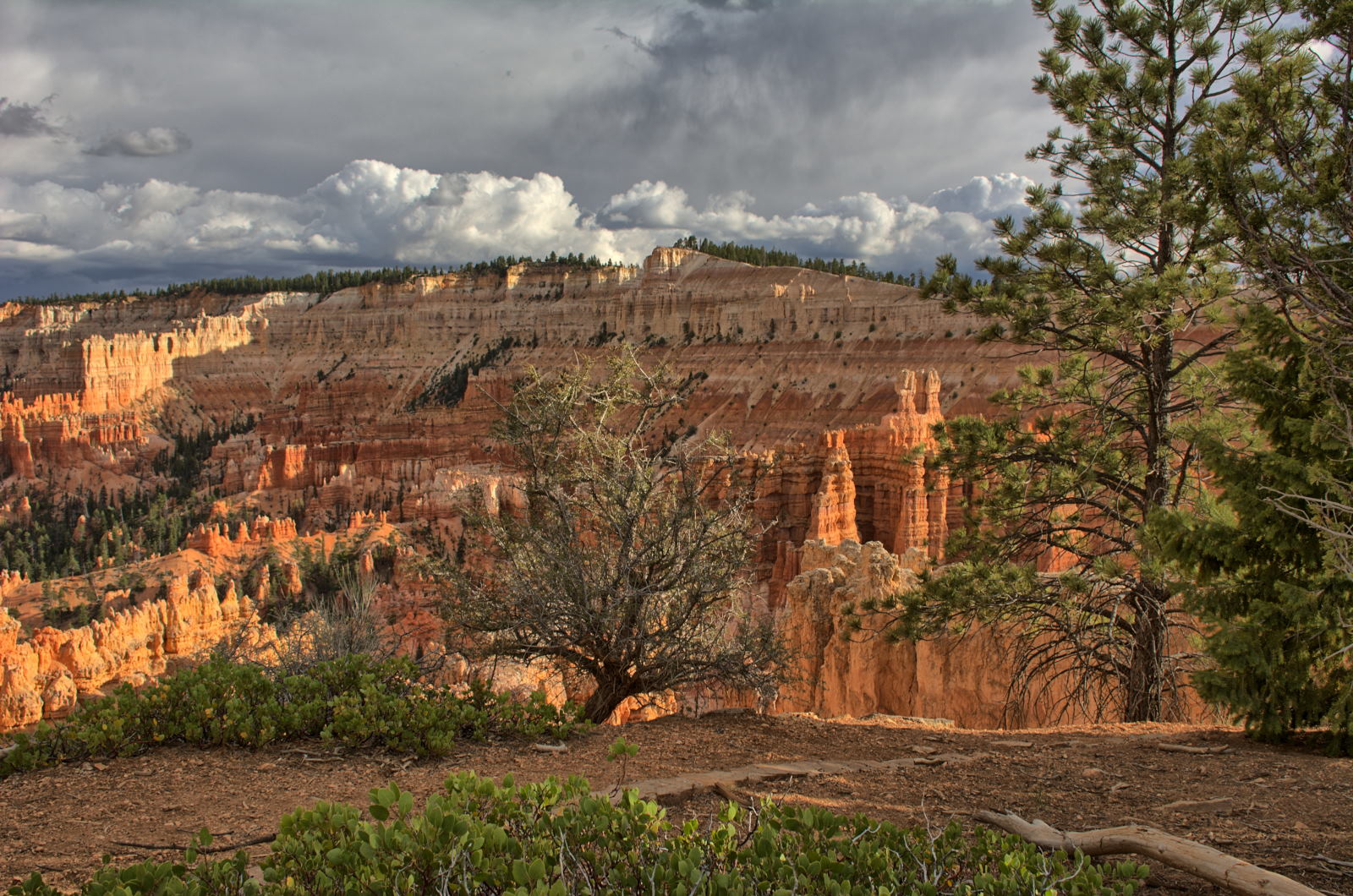
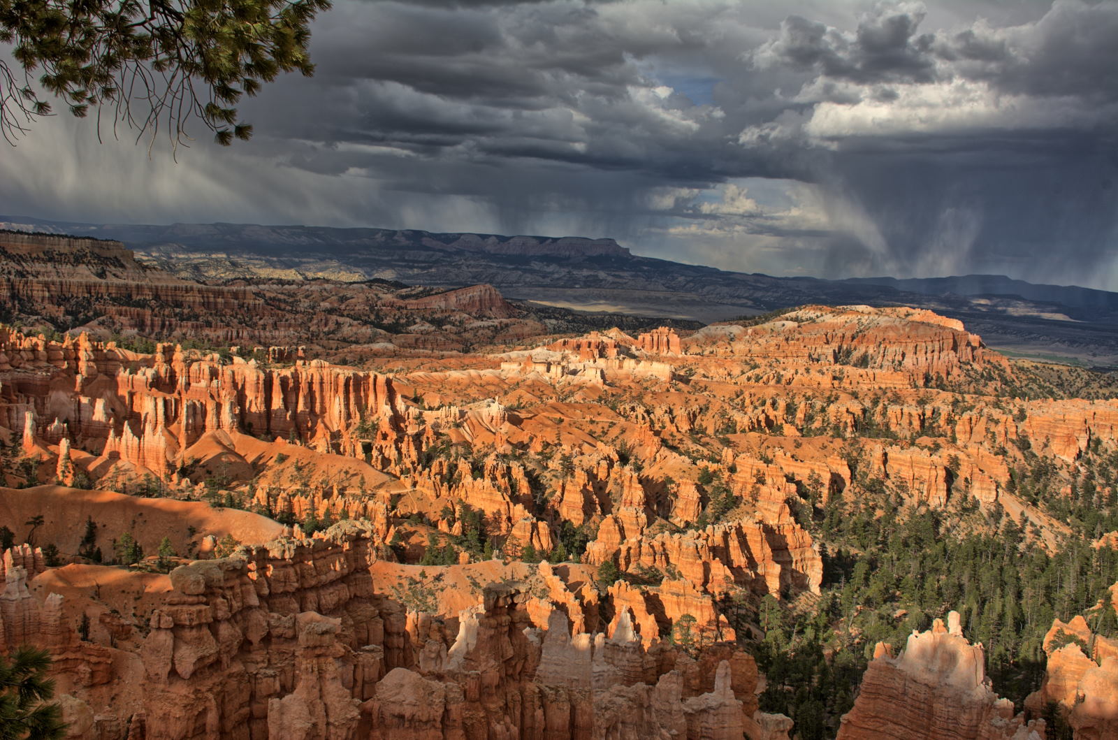
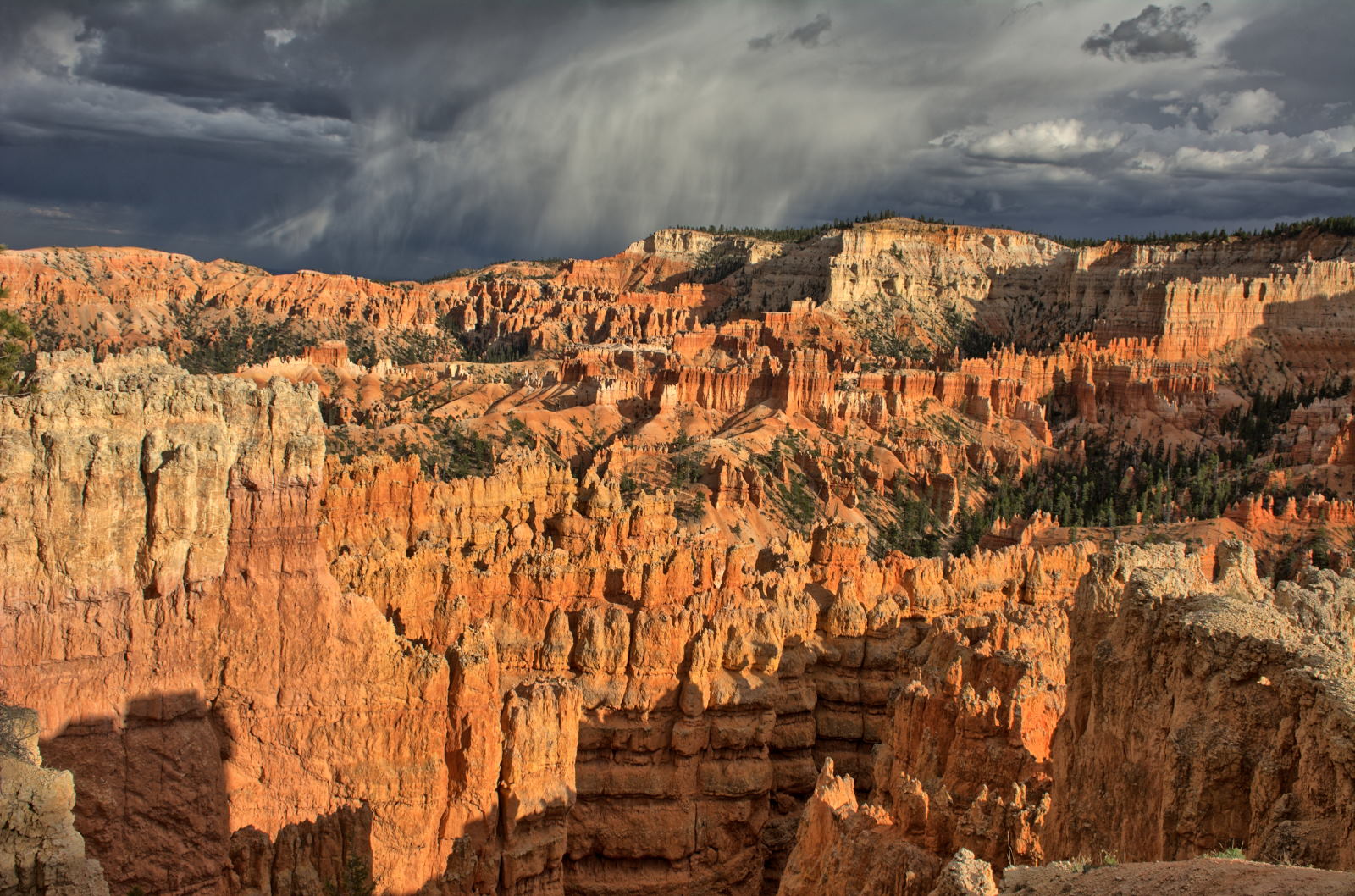
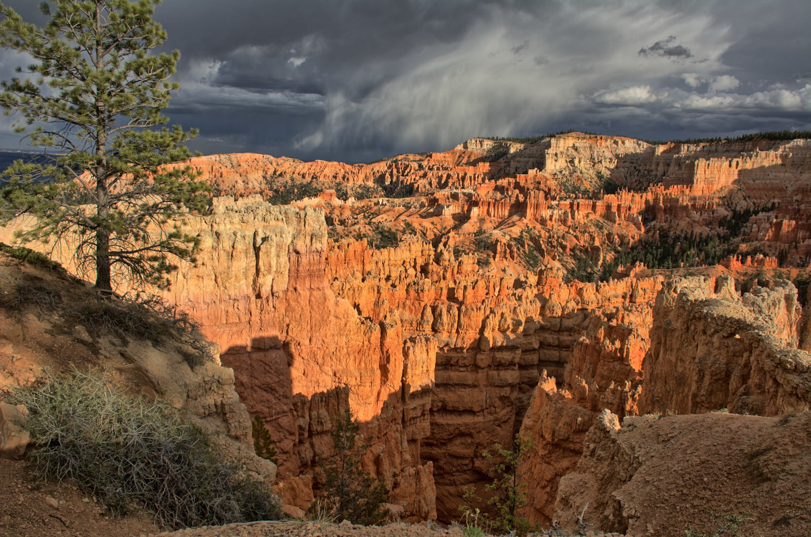
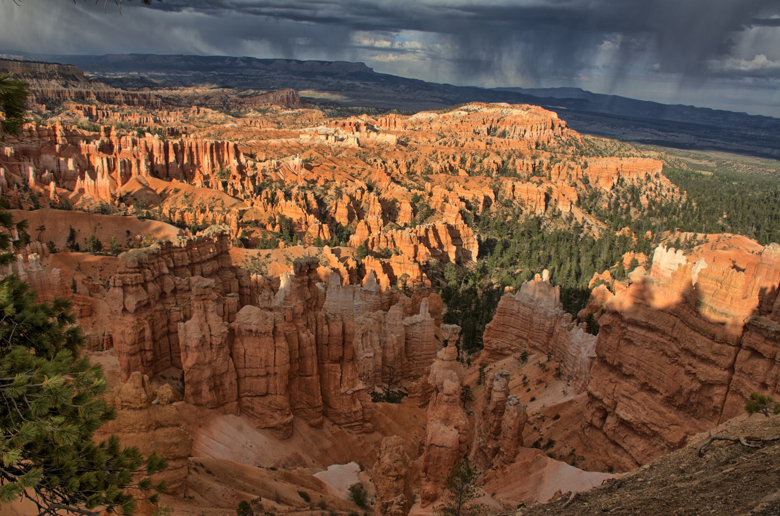
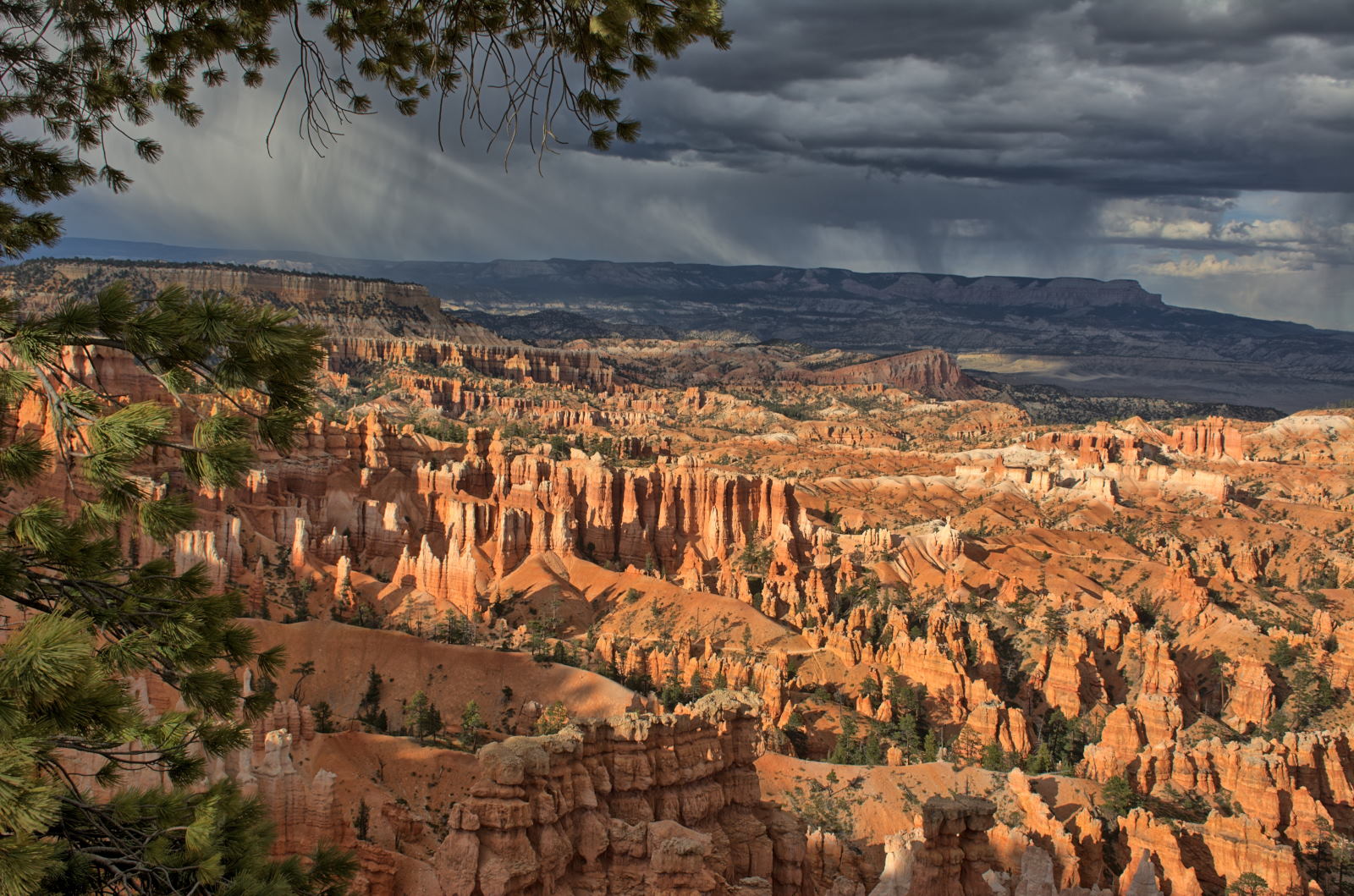
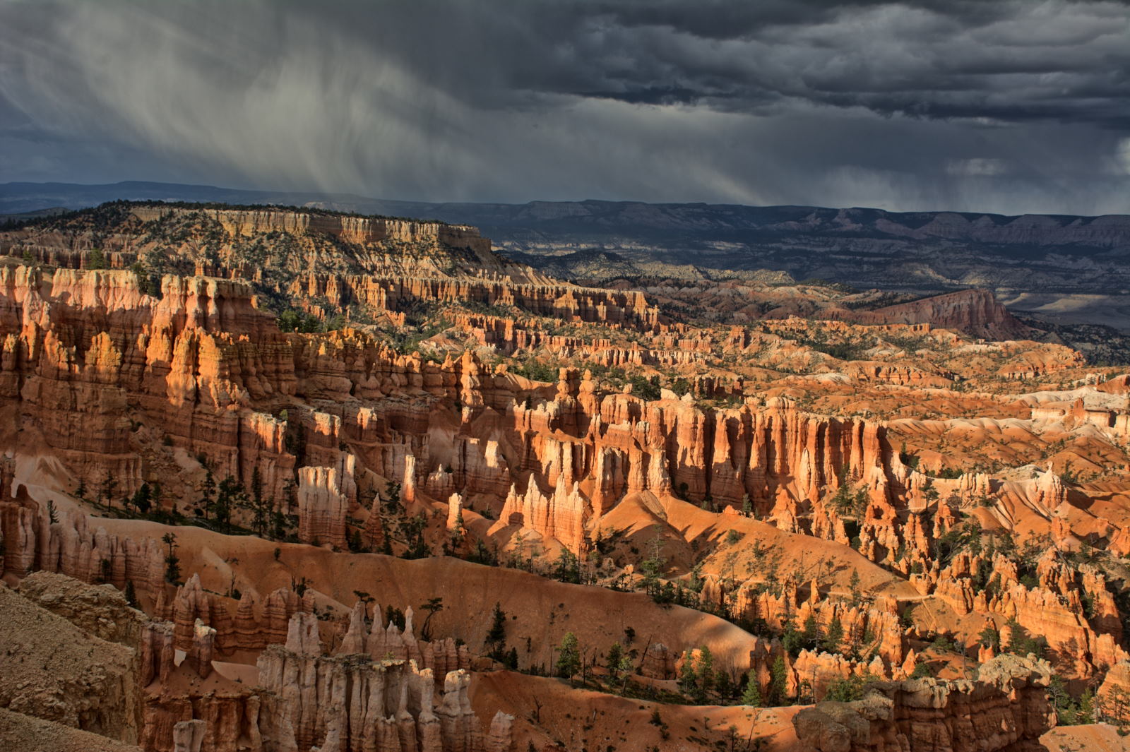
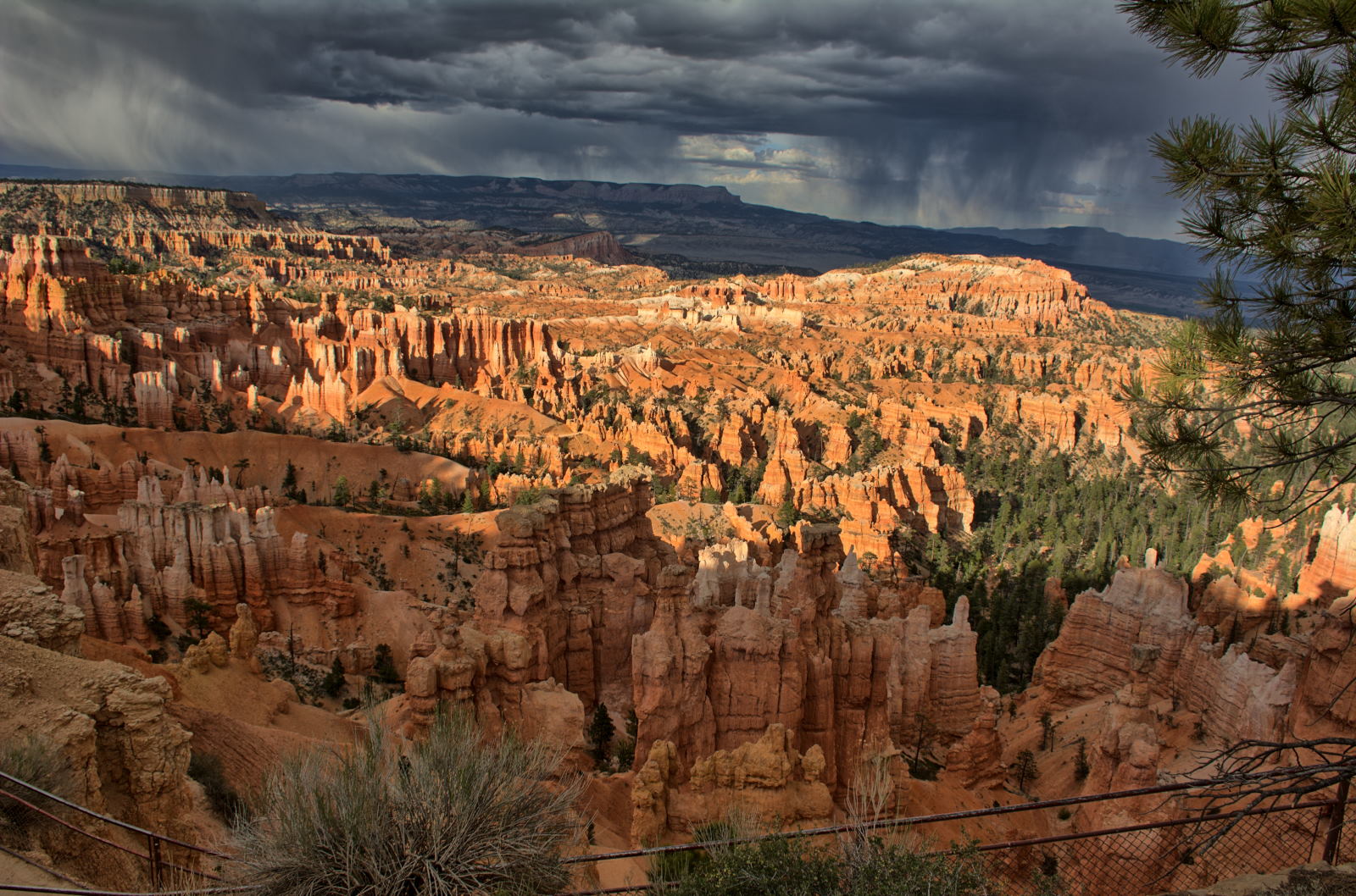
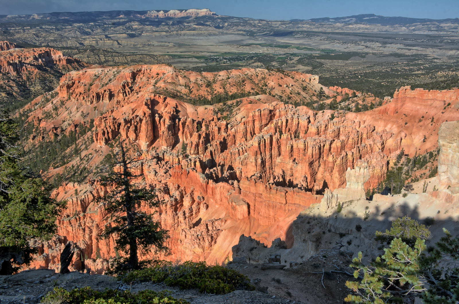
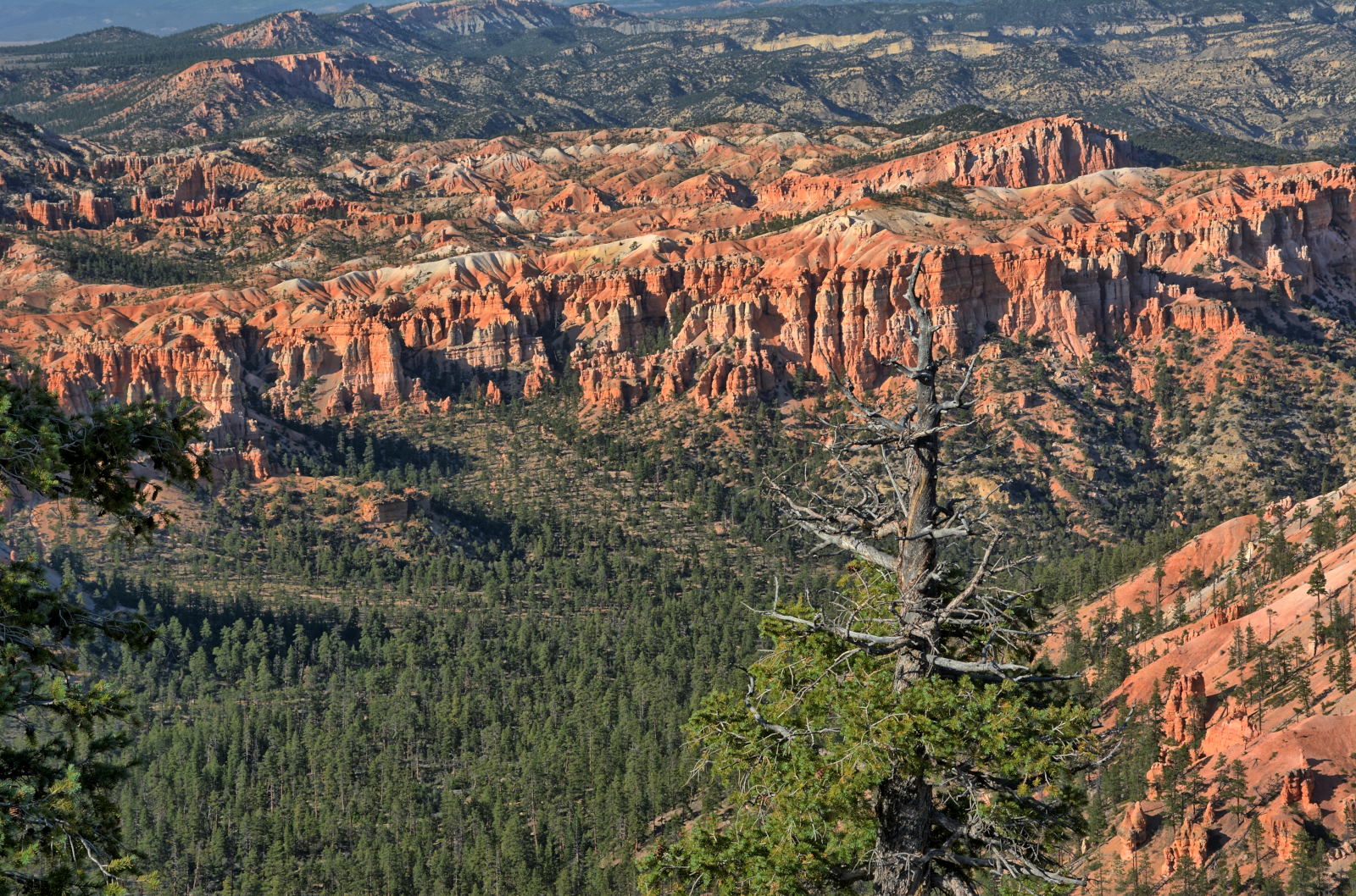
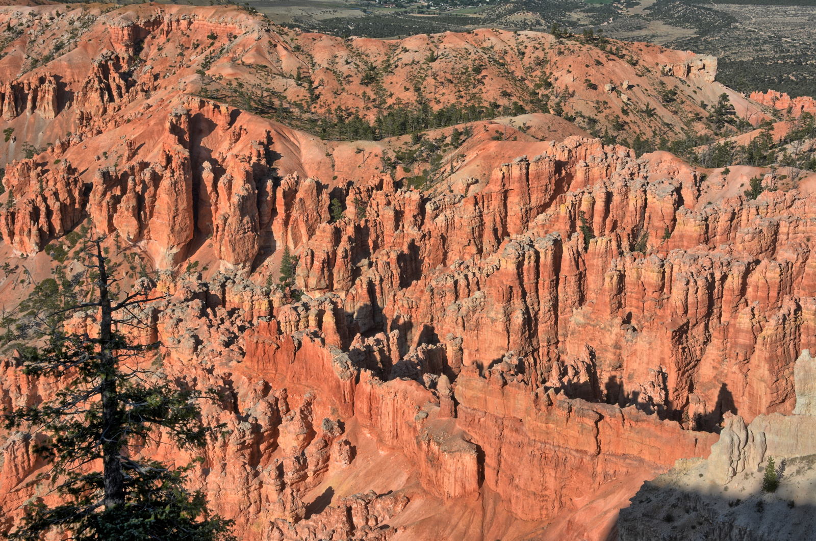
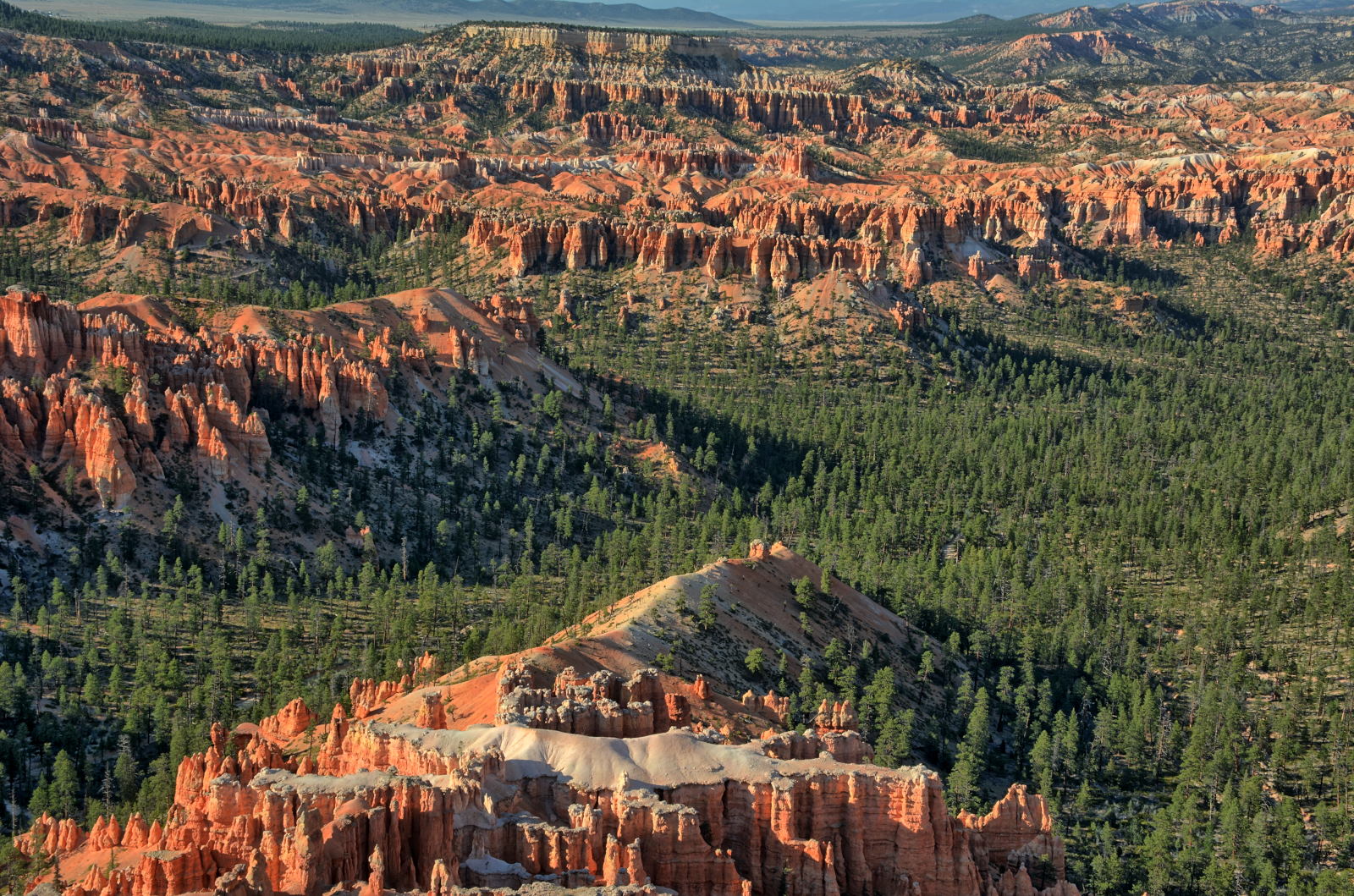
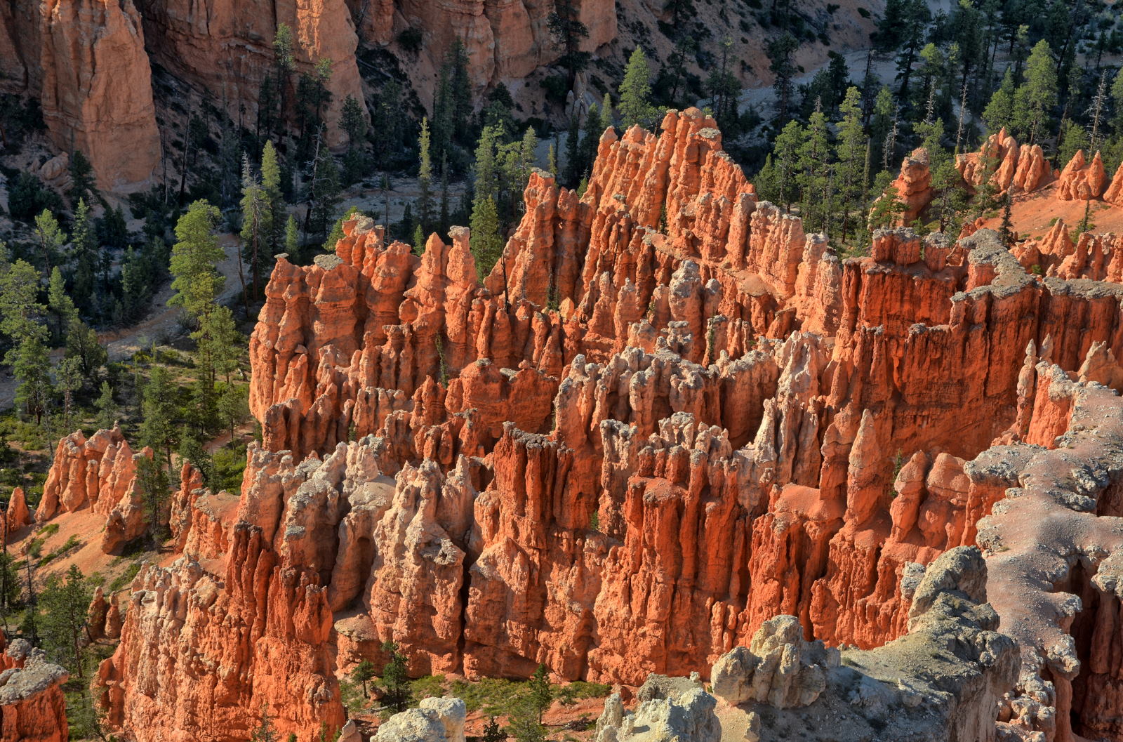
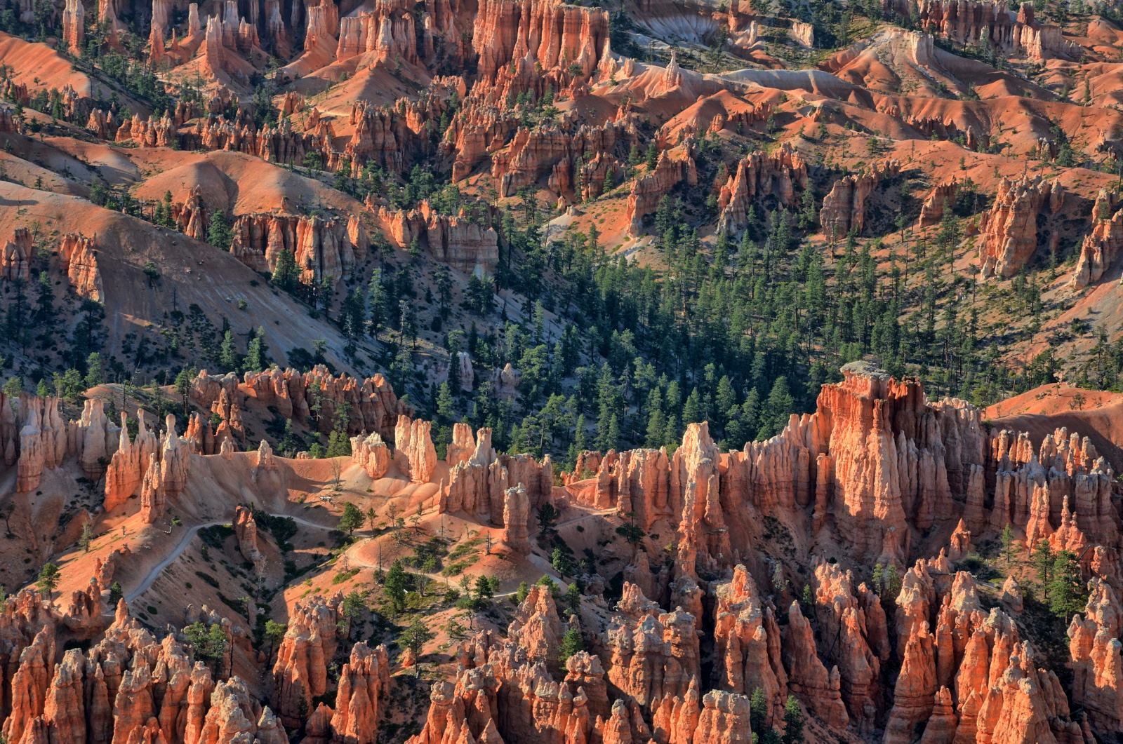
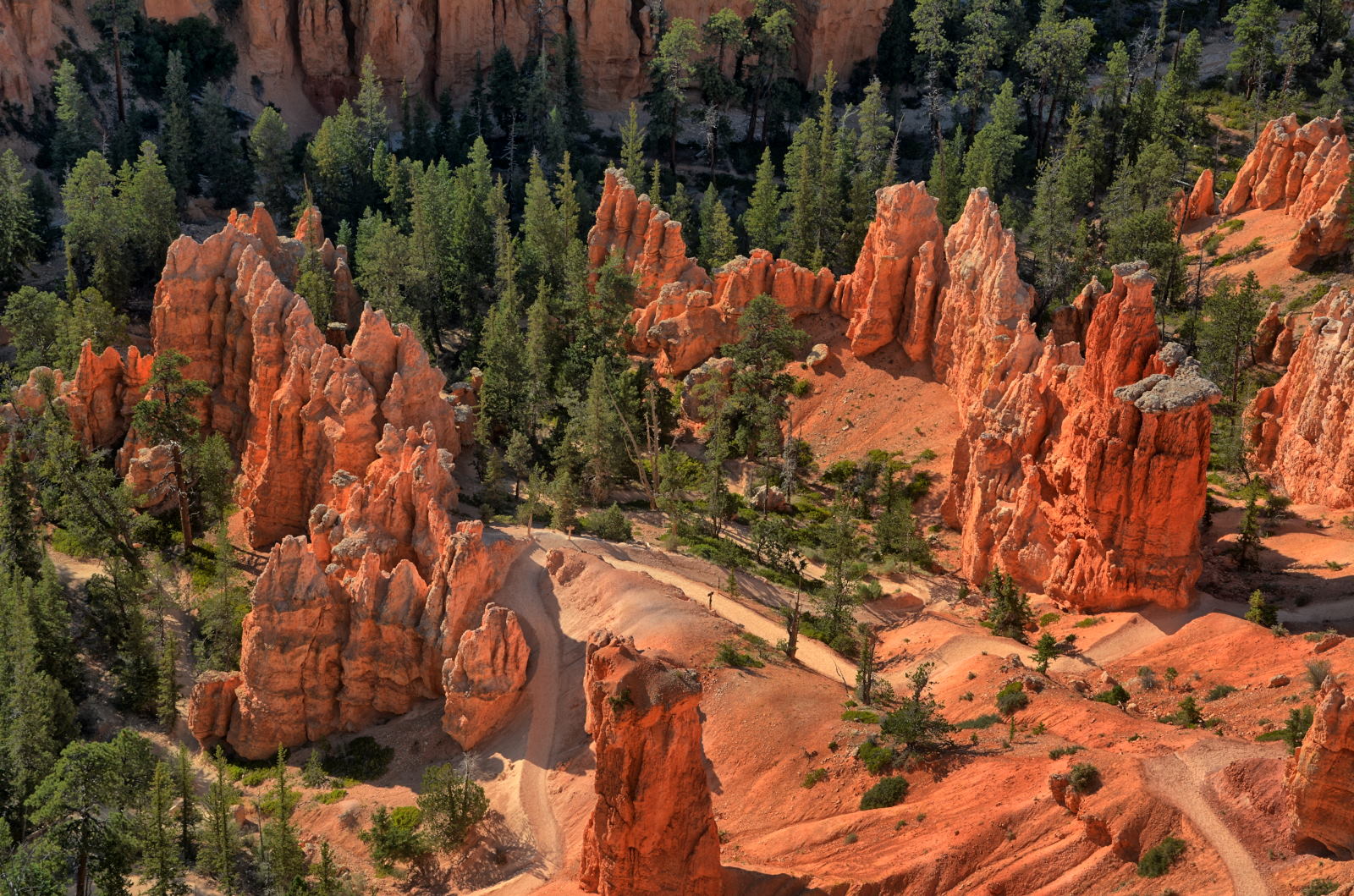
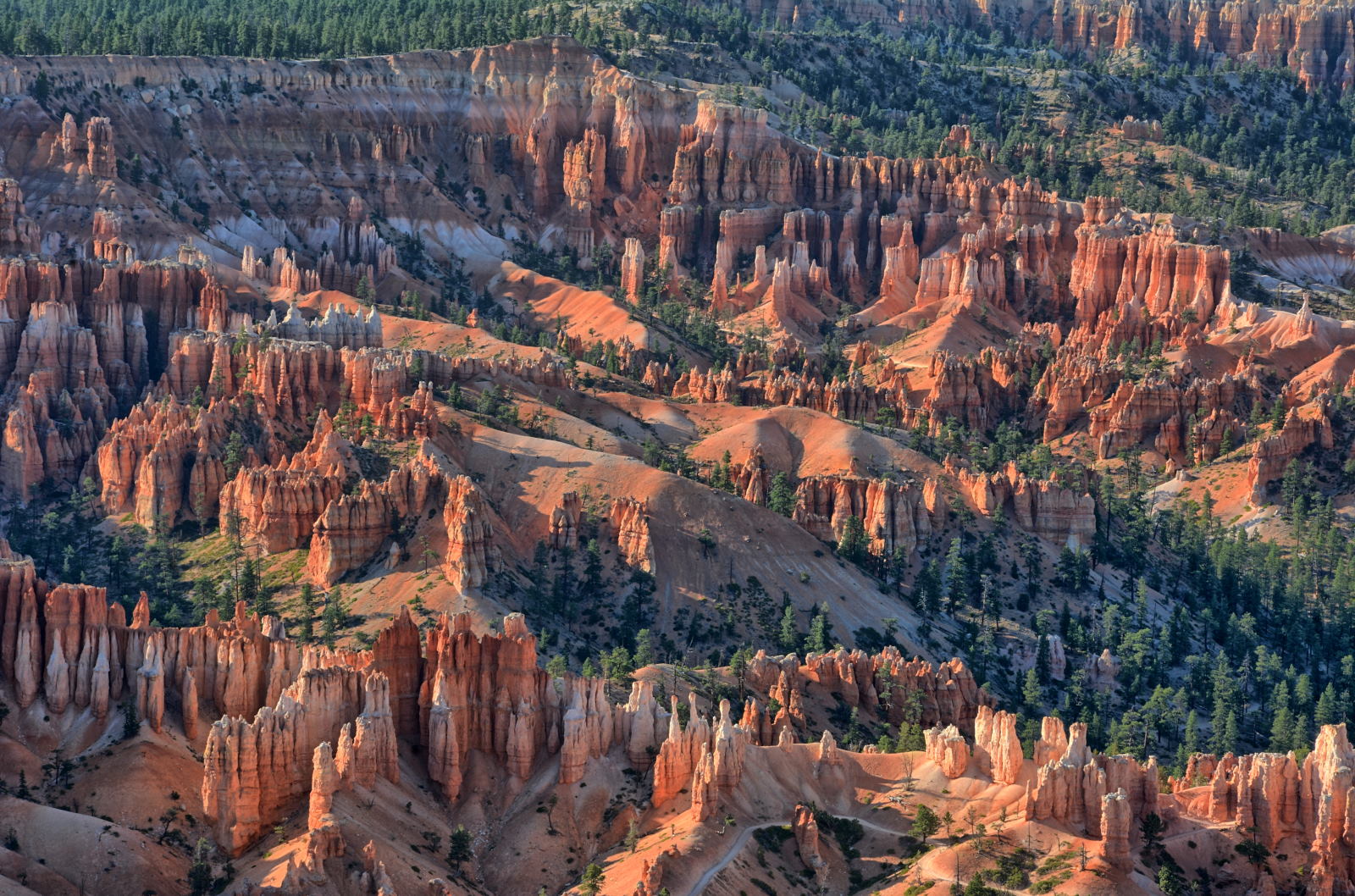
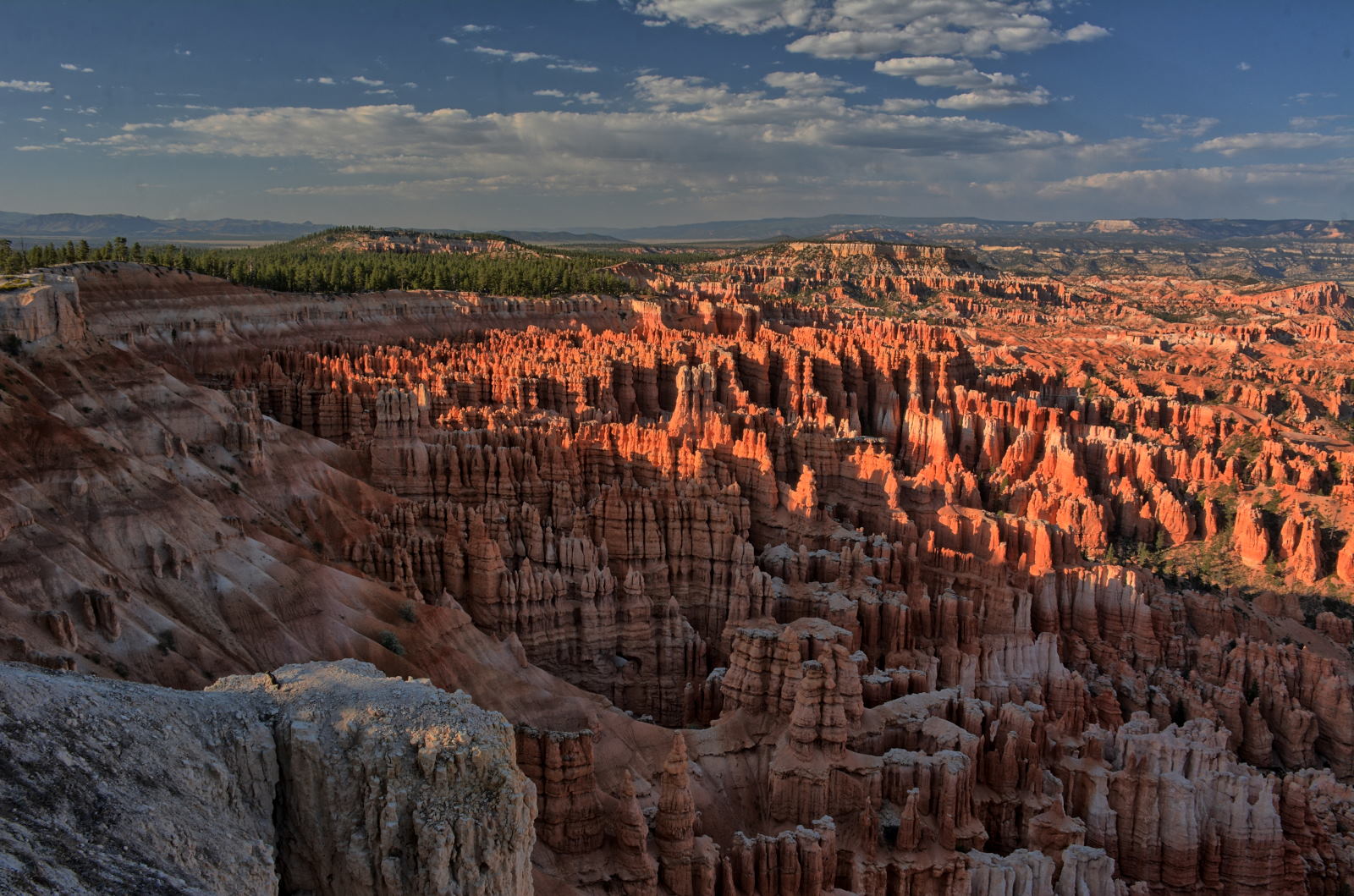
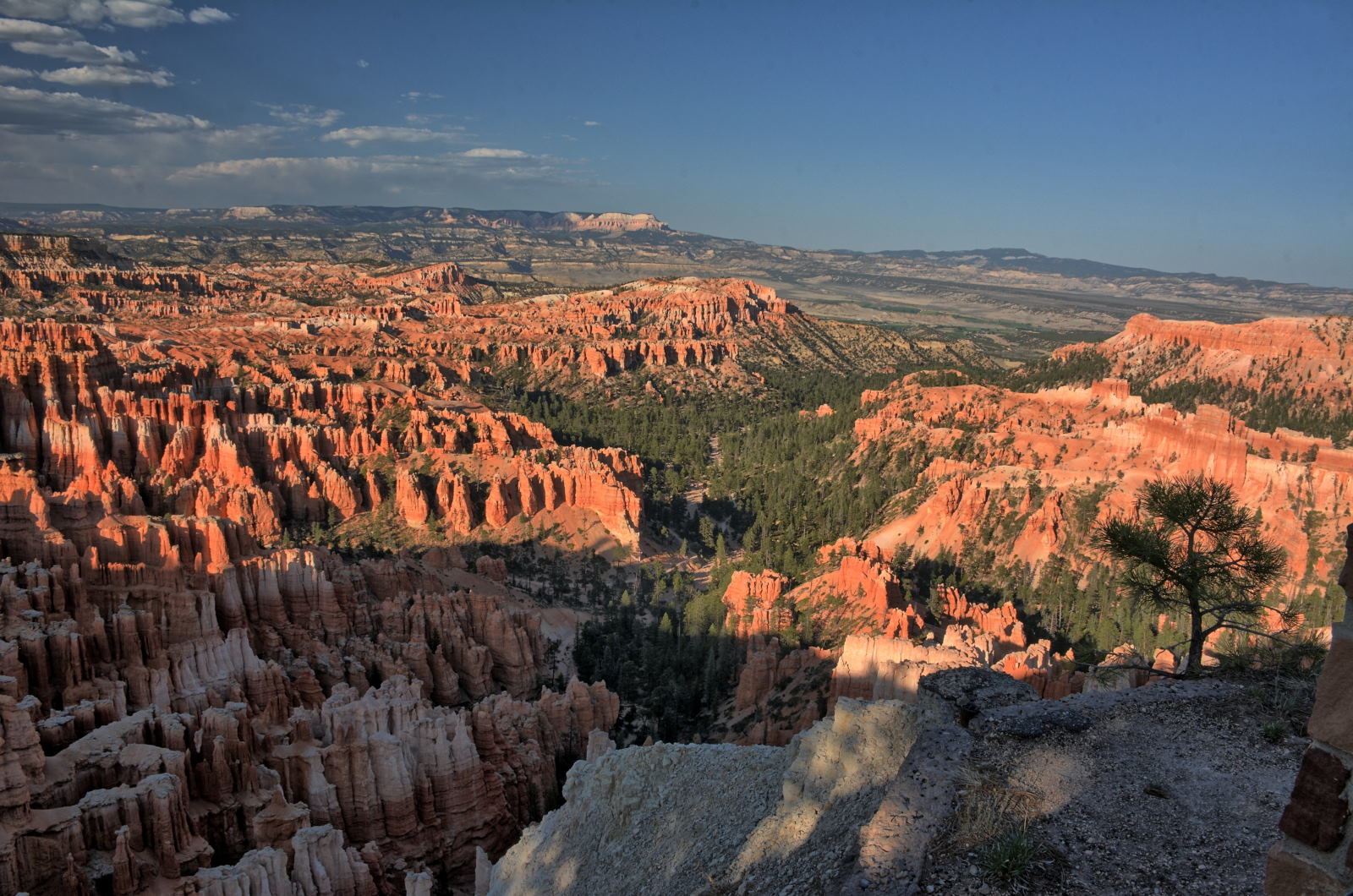
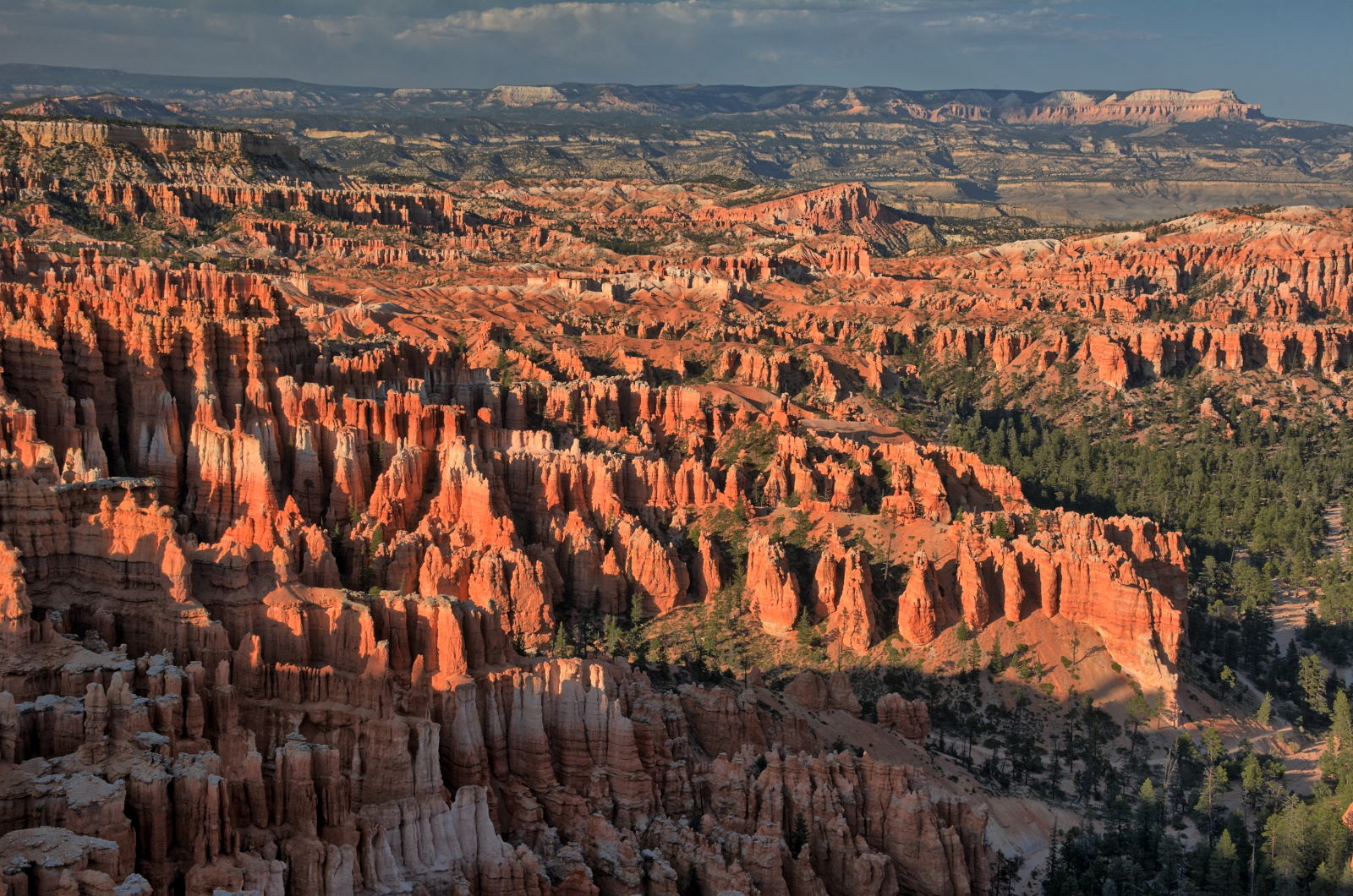
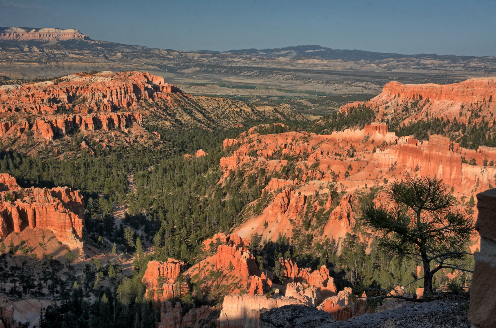
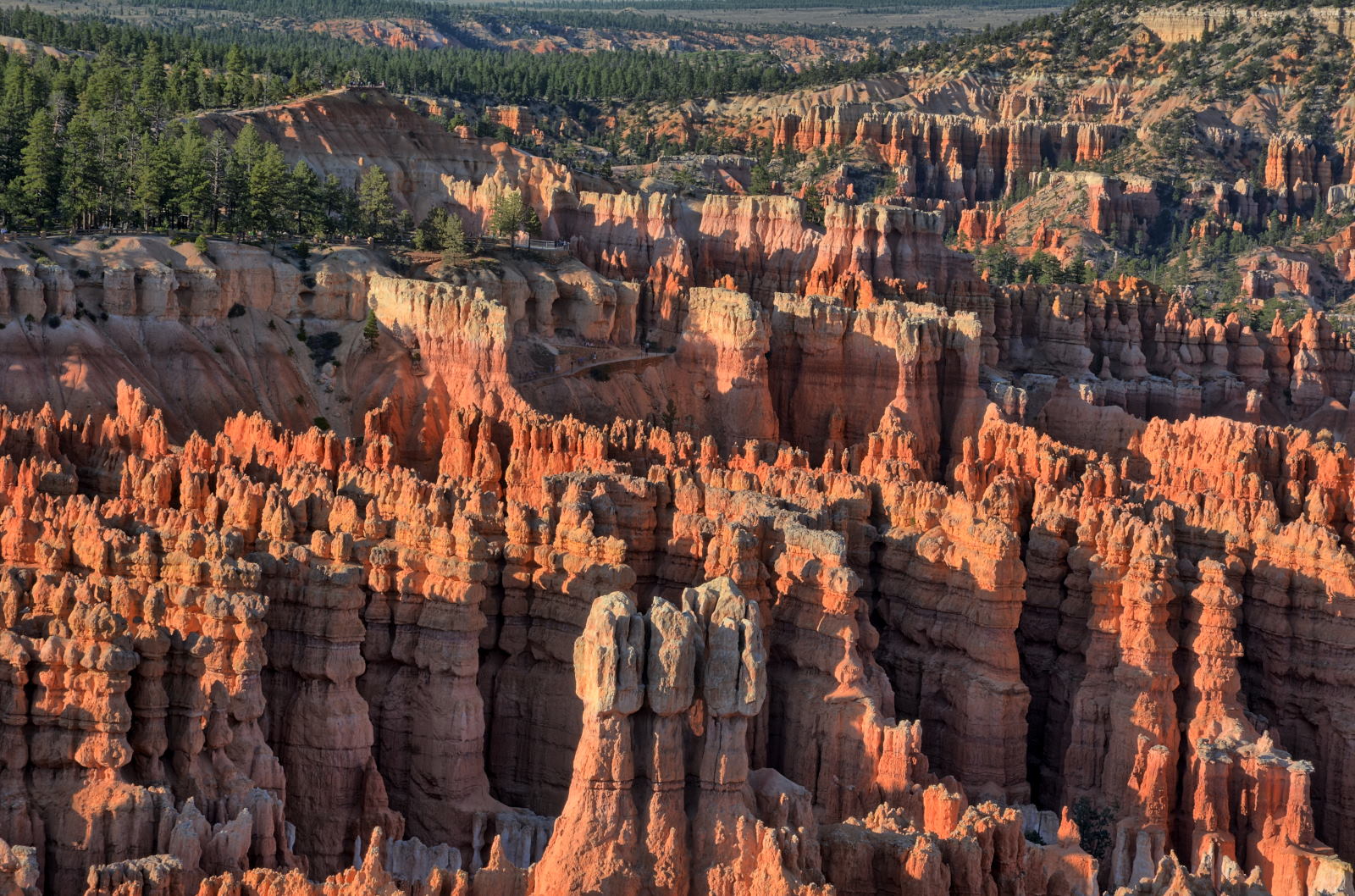
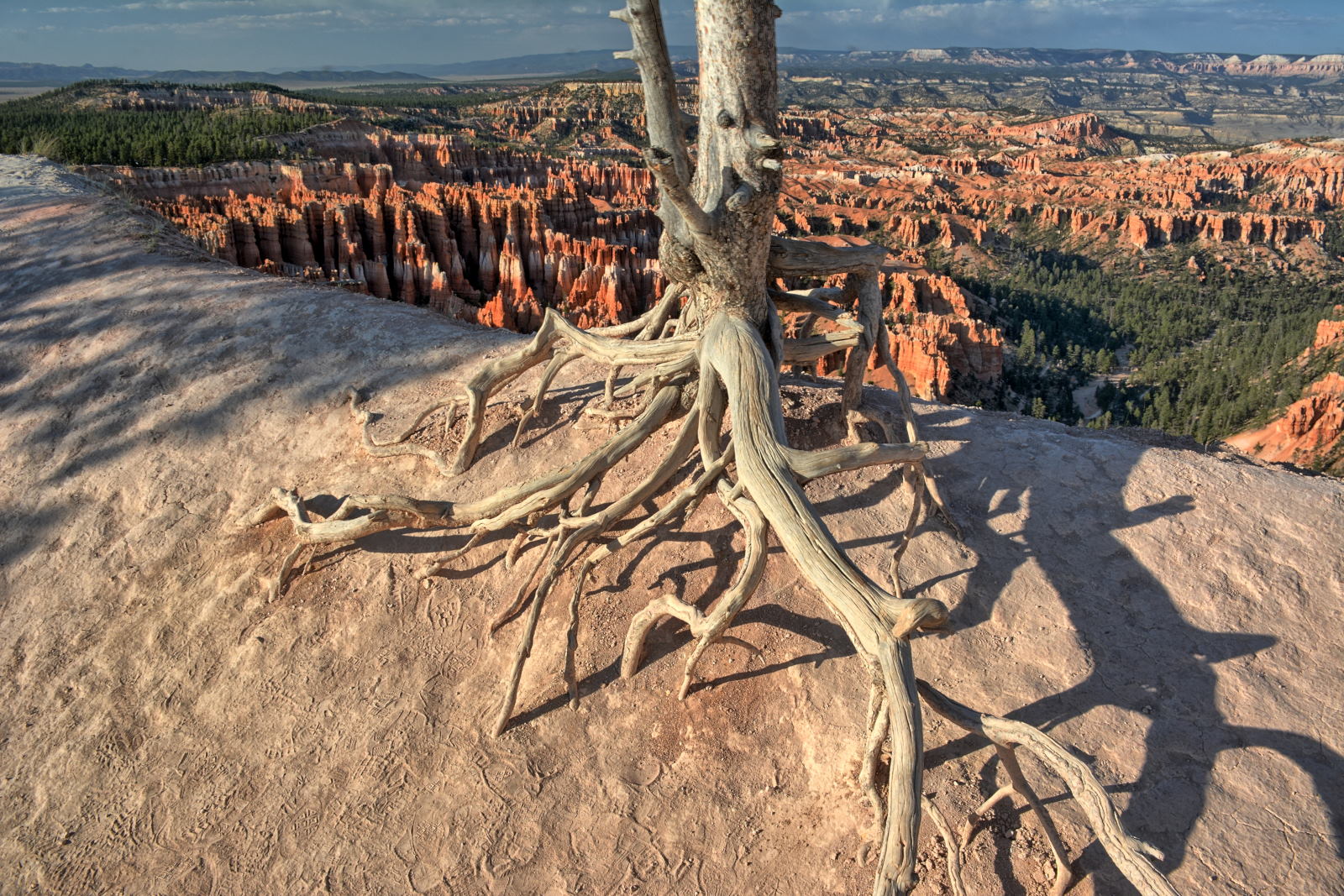
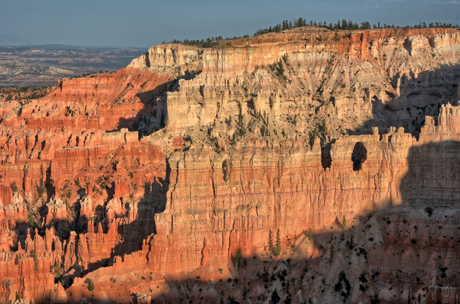
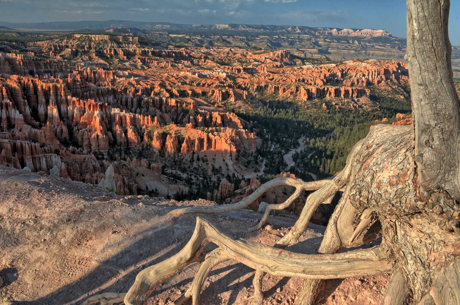
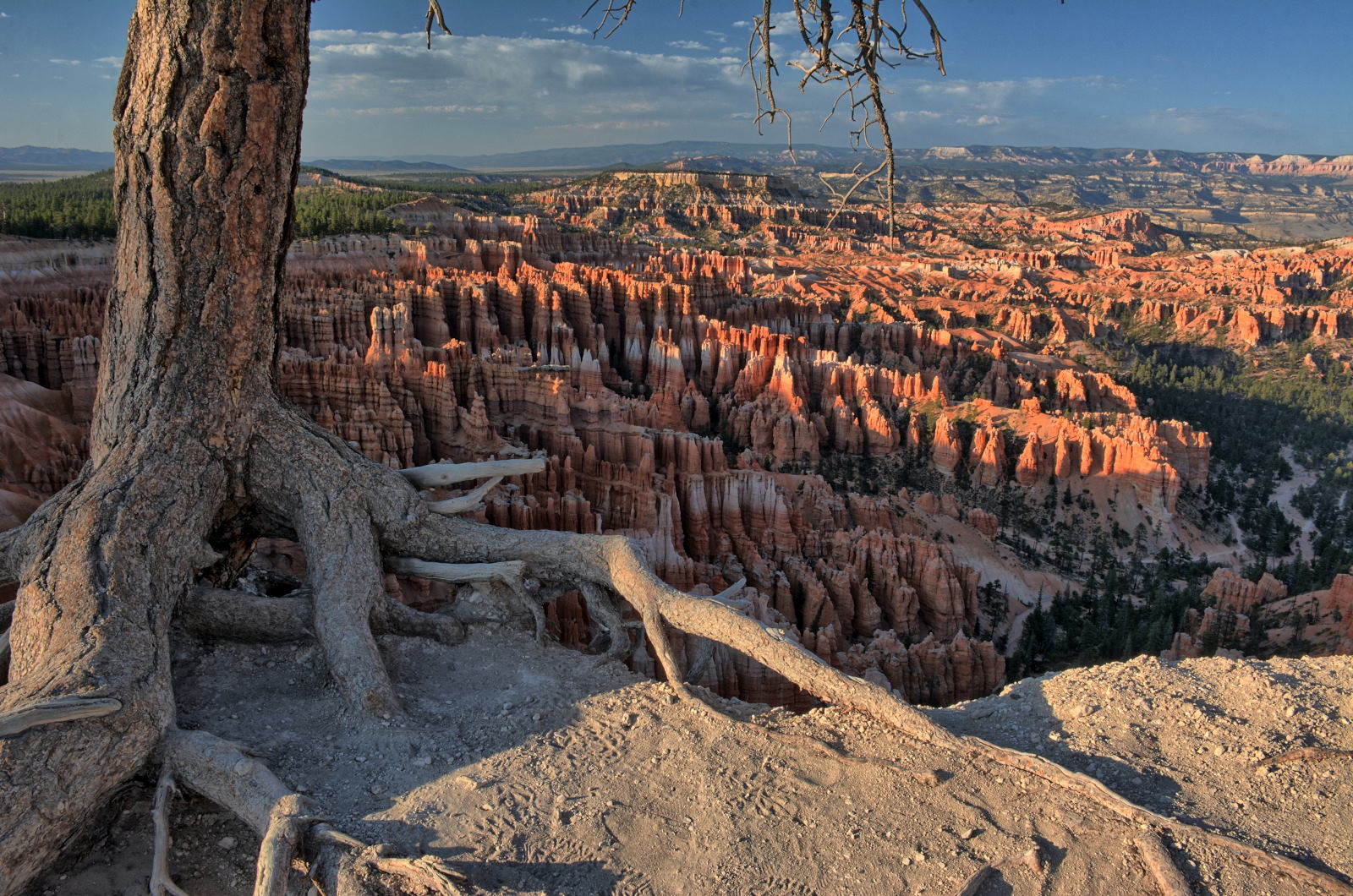
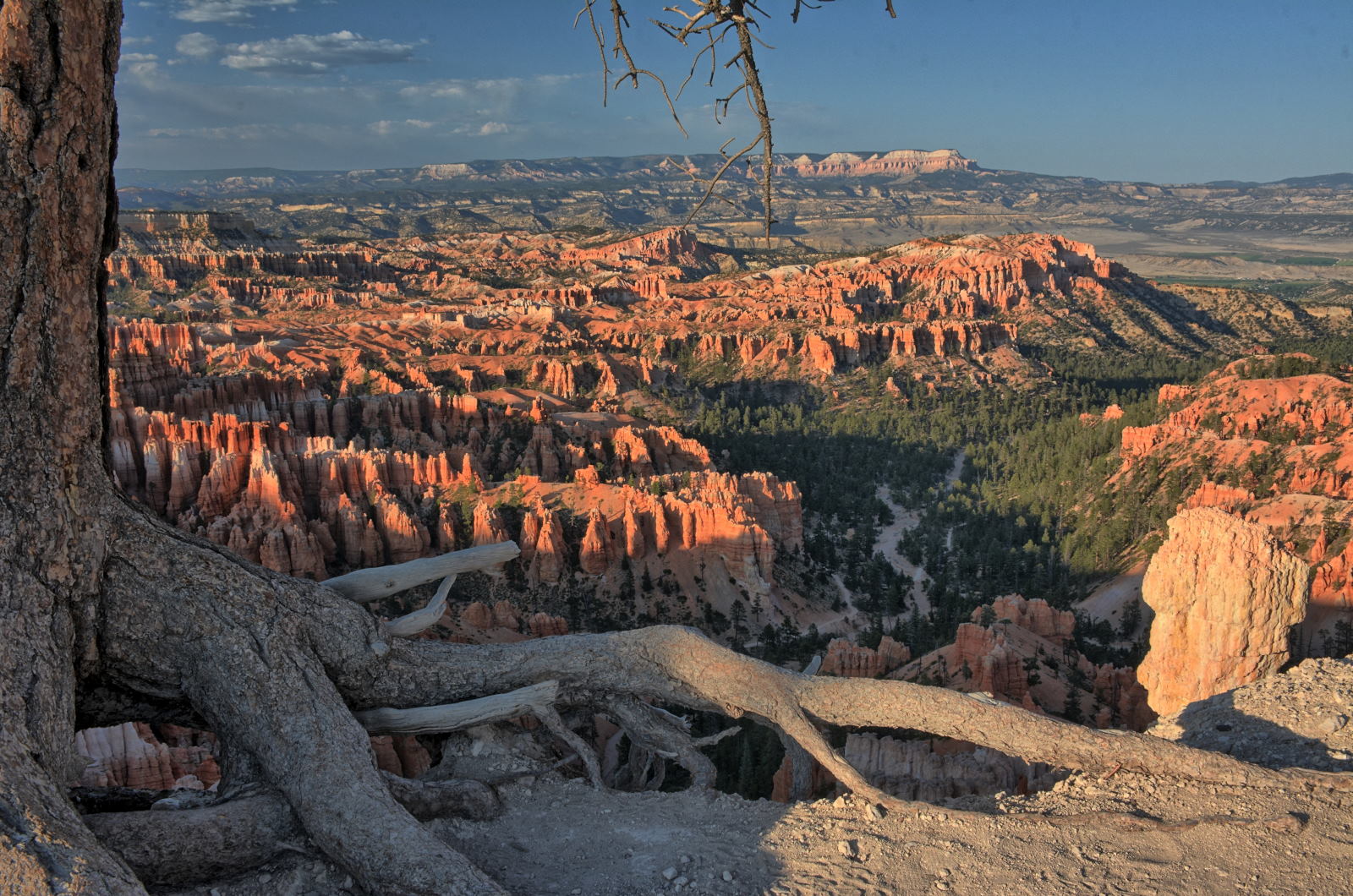
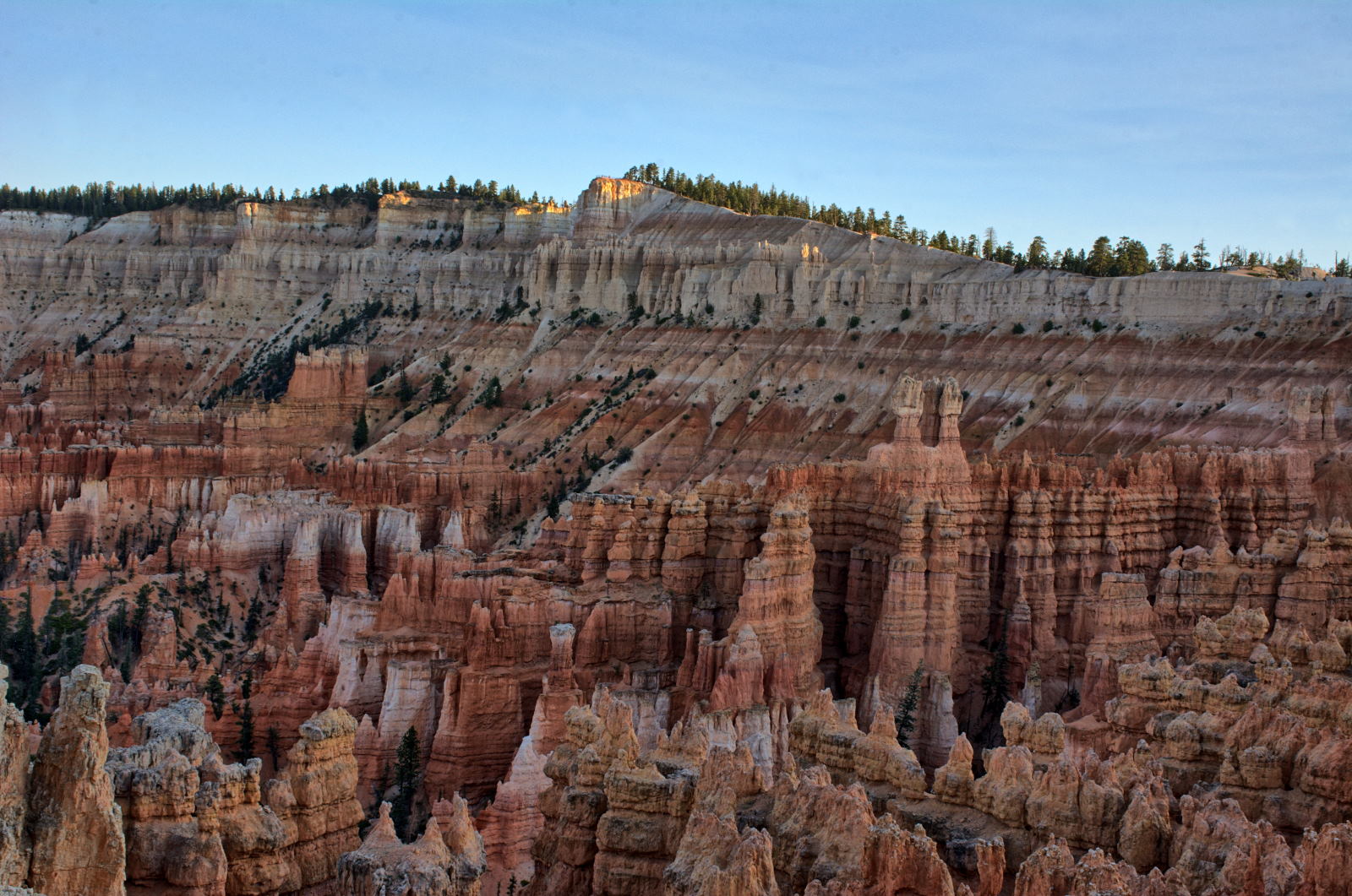
Bryce Canyon National Park Sunset
Bryce Canyon National Park Sunset
27 June 2018, Wednesday
Chris drove to the Escalante ranger station and got an overnight permit for
Coyote Gulch the next night, then had lunch at a restaurant in town that he and
Tami had liked when they drove through Escalante in 2017. He went to Head
Of The Rocks Overlook, flew one his planes, and then began the drive down Hole
In The Rock Road towards the last hikes he had planned for this trip; Devils
Garden, Dry Fork slots, and Coyote Gulch.
Chris has a special warning below for anyone deciding to drive on Hole In The
Rock Road.
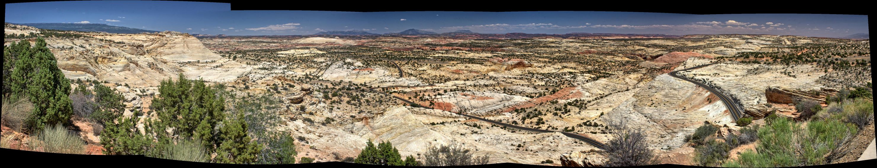
Head Of The Rocks Overlook, Grand Staircase - Escalante National Monument
Hole In The Rock Road, Grand Staircase -
Escalante National Monument
This was the second time that Chris has driven
Hole In The Rock Road. On this trip in
June 2018, Chris drove almost 40 miles on Hole
In The Rock Road to Fortymile Ridge Road to reach
the trailheads for Coyote Gulch. On
his previous visit
in August 2016 he drove all the way to the end
of the road and visited the actual Hole In The
Rock above the Colorado River.
This unpaved road
is almost 60 miles long and reaches a gap in the
rocks where a path descends 1000 feet to the
Colorado River. This route was originally taken
by the San Juan Expedition in 1880, on their way
to establish the town of Bluff on the San Juan
River in southern Utah. A trip which was
expected to take six weeks instead took six months.
While it took much longer than expected to reach
their destination, no one died on the journey,
two children were born, and they did establish
Bluff which is still there to this day.
Hole In The Rock Road is
evil. It is terrible in so many
distinct ways that it is many times worse than
the sum of its part. Small sections of it
are no worse than any other dirt road, but it
goes on FOREVER. It is washboarded almost
the entire length, with different kinds of
washboard. Some washboards are made of
loose dirt, some sections of washboard are made
of large rocks and gravel, some sections of
washboard are made of sand. They all
require different speeds, and they change
continuously. There are a few places where
the sand is fine and like talcum powder; on one
section you have to keep your speed up to avoid
bogging down in the fine powder, in another
section the fine talcum-like powder hides deep
holes that conceal large rocks over which you
have to drive VERY slowly or risk snapping an
axle or popping a tire. A few short
sections are smooth, only to be interrupted by
layers of rock that have sharp edges that will
puncture a tire if you hit an exposed edge of
rock a little wrong.
On your way south out of Escalante, you won't
notice just how bad it is, as you are headed
towards Devils Garden, or the Dry Fork slots, or
Coyote Gulch, or any of the really cool places
along the route, and you are excited to get
there. However, when you are done with
your one day or multiple day exploration along
the road, you will be headed north back to
Escalante with only one thought on your mind -
"Please make it stop." The road just goes
on and on and on, and the washboarding never
ends. If you speed up to try to get to the
'washboard speed' to slightly decrease the
constant shaking, you will suddenly hit a patch
of some other form of road badness which will
make your speed a liability for your tires and
axles.
The things to see and do along Hole In The Rock
Road make the entire trip worth it, as there are
some incredible hikes and views. Just realize
you will be swearing at the road on your entire
way back north towards Escalante.
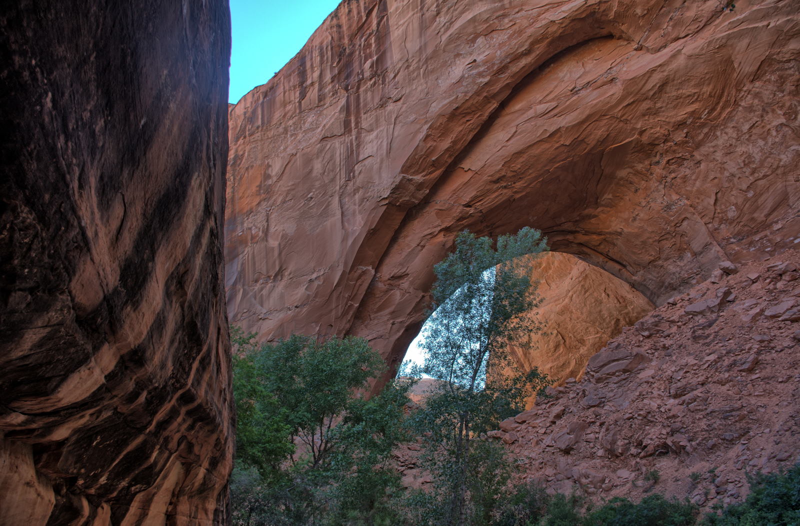
The first stop was Devils Garden, about 12 miles down Hole In The Rock Road.
There are lots of hoodoos and a couple small arches at Devils Garden.
The next stop was the Dry Fork slots, about 25 miles down Hole In The Rock
Road. Chris had visited here before and hiked Dry Fork and Peek-A-Boo.
On this trip, Chris hiked Spooky and then Peek-A-Boo.
It was getting late into the afternoon when he got back to his car. He
continued on south to Fortymile Ridge Road, which is actually 37.5 miles down
Hole In The Rock Road. He drove out along Fortymile Ridge Road for several miles
and found a
high spot next to the road, about a mile short of the tank trailhead
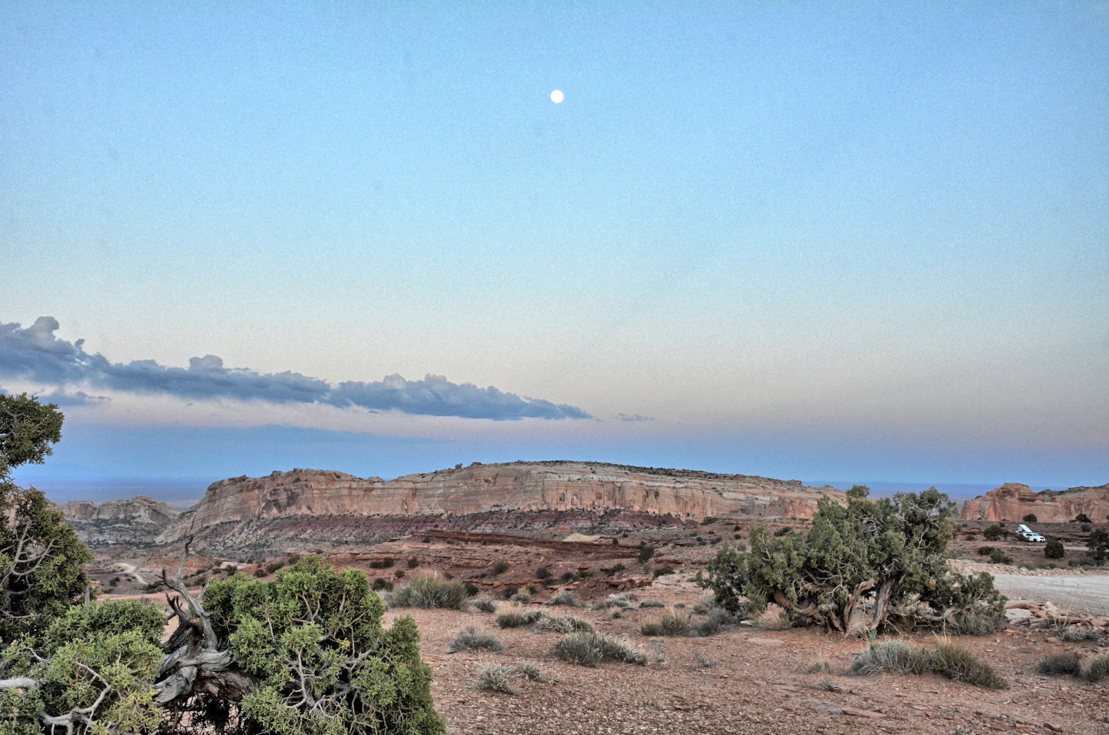
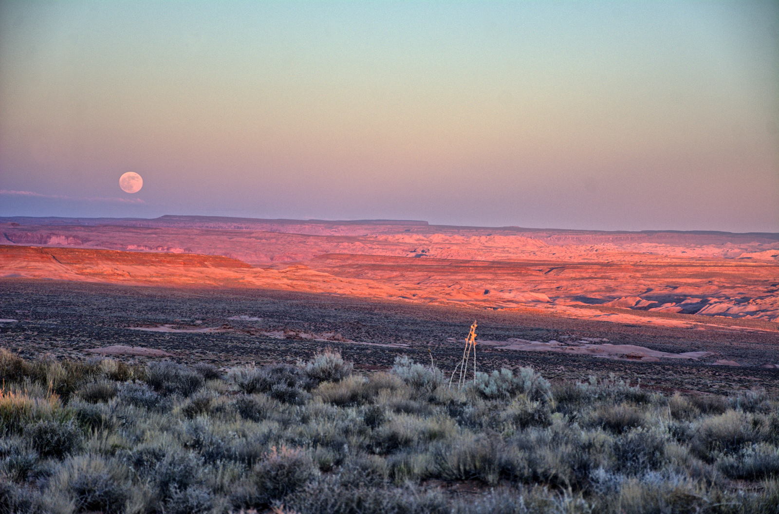
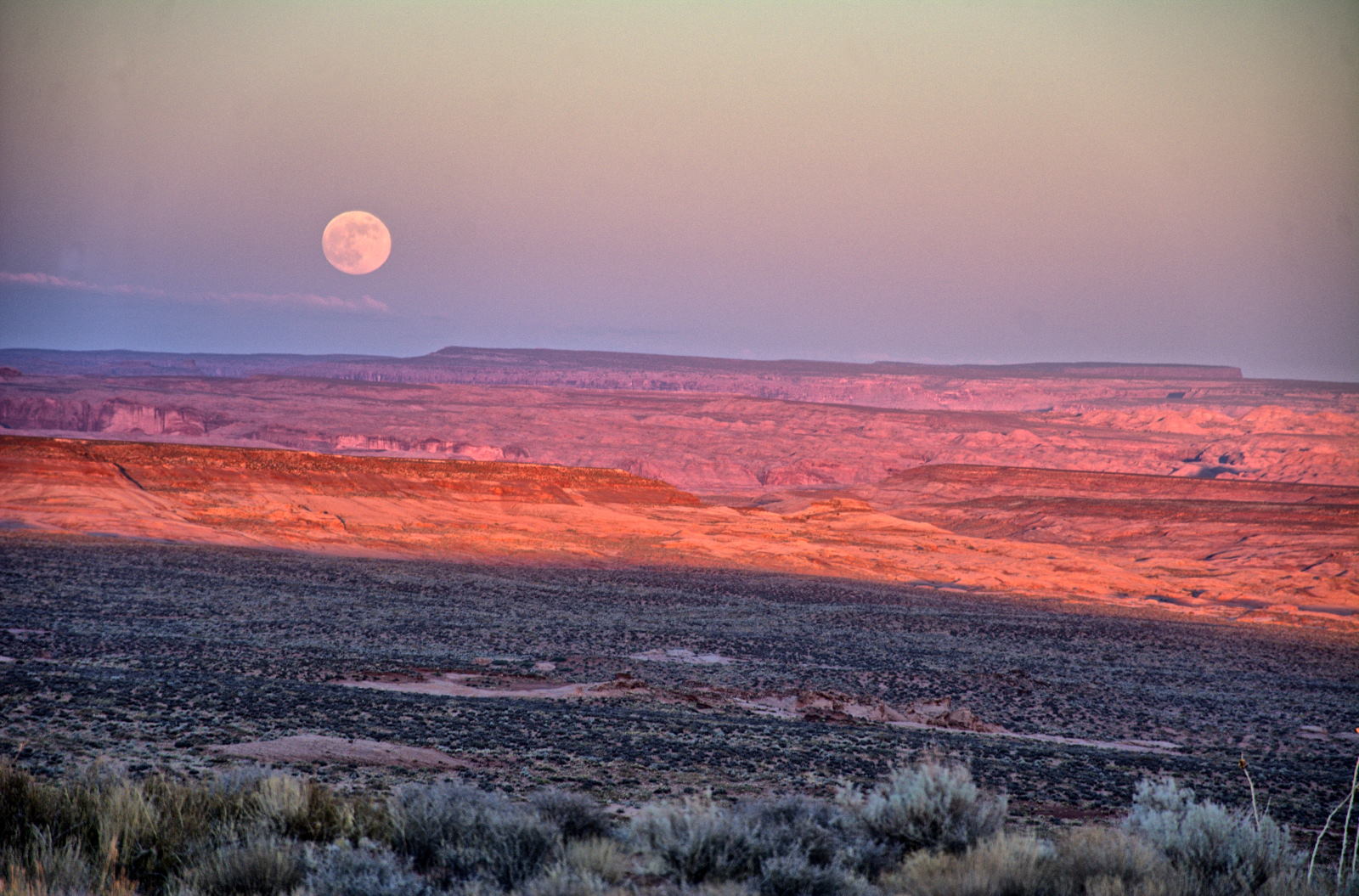
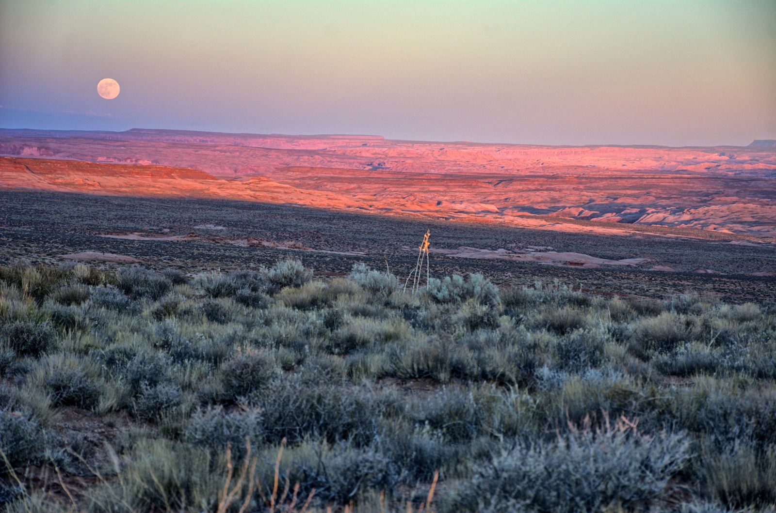
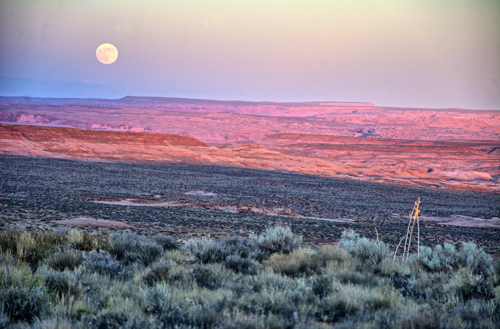
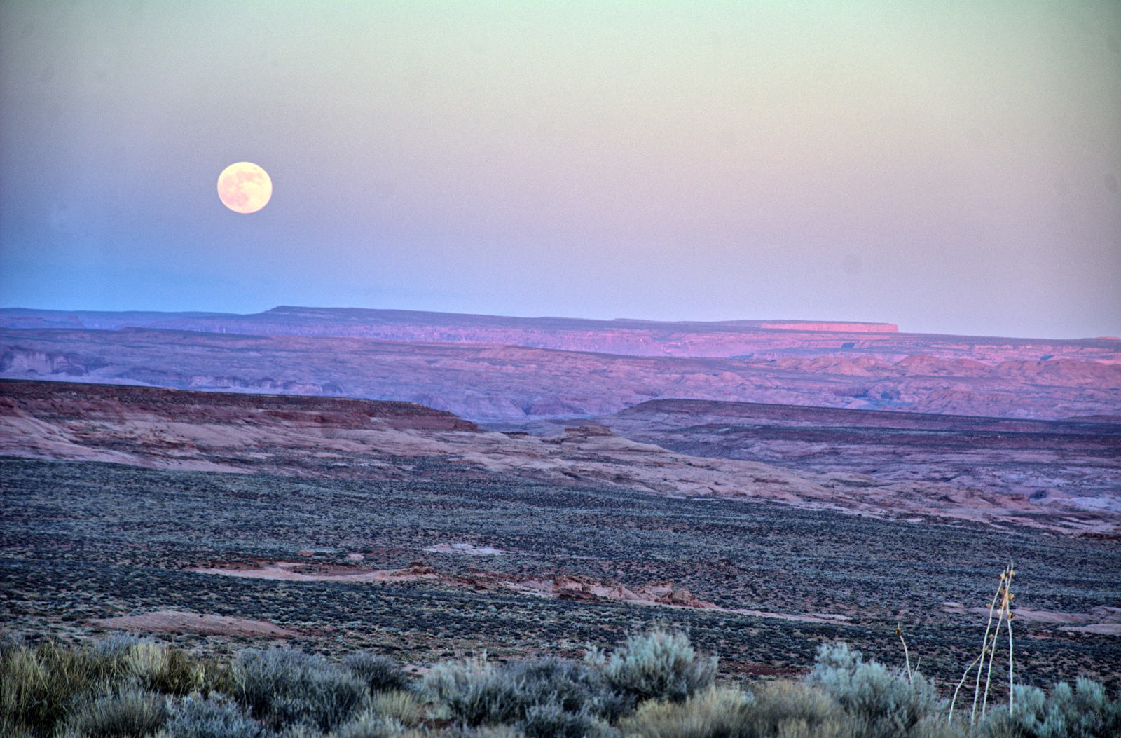
for Coyote Gulch. He flew one of his RC planes and then enjoyed
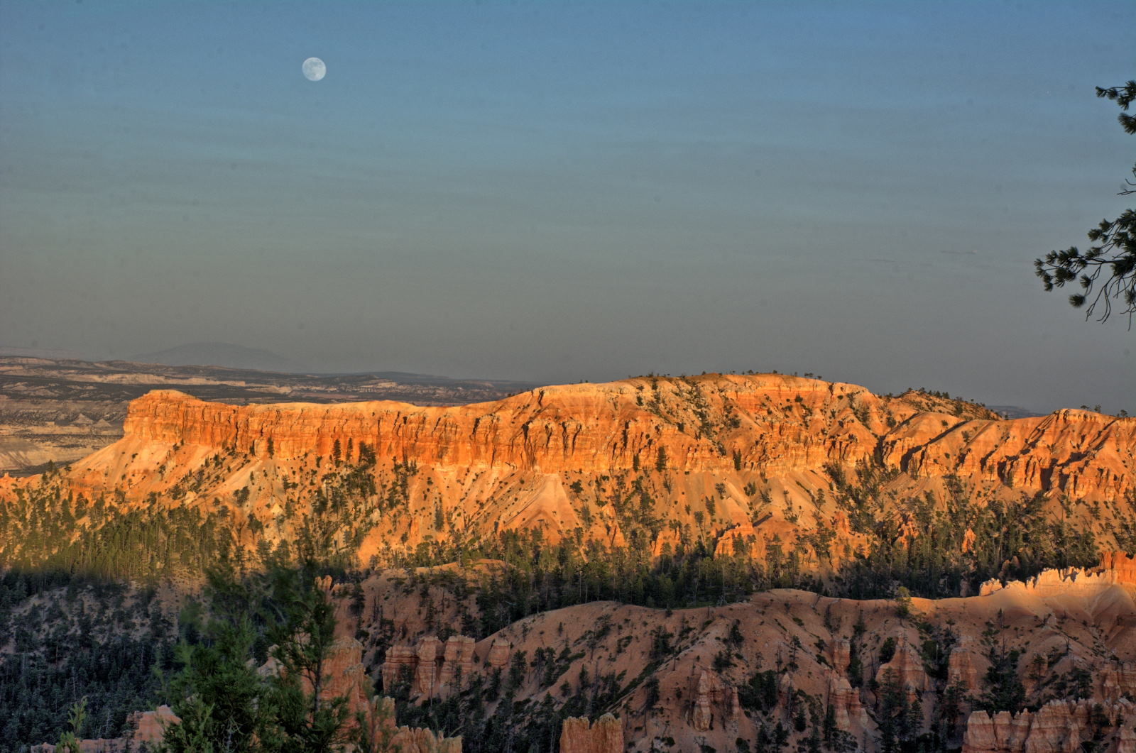
one of the most beautiful sunsets he has ever seen. The sun was setting in the
west, and the full moon was rising in the east directly opposite the setting
sun. The timing was perfect, as he watched the light bounce off of Navajo
Mountain 25 miles to the south and the edge of the Kaiparowits Plateau 10 miles
to the west.
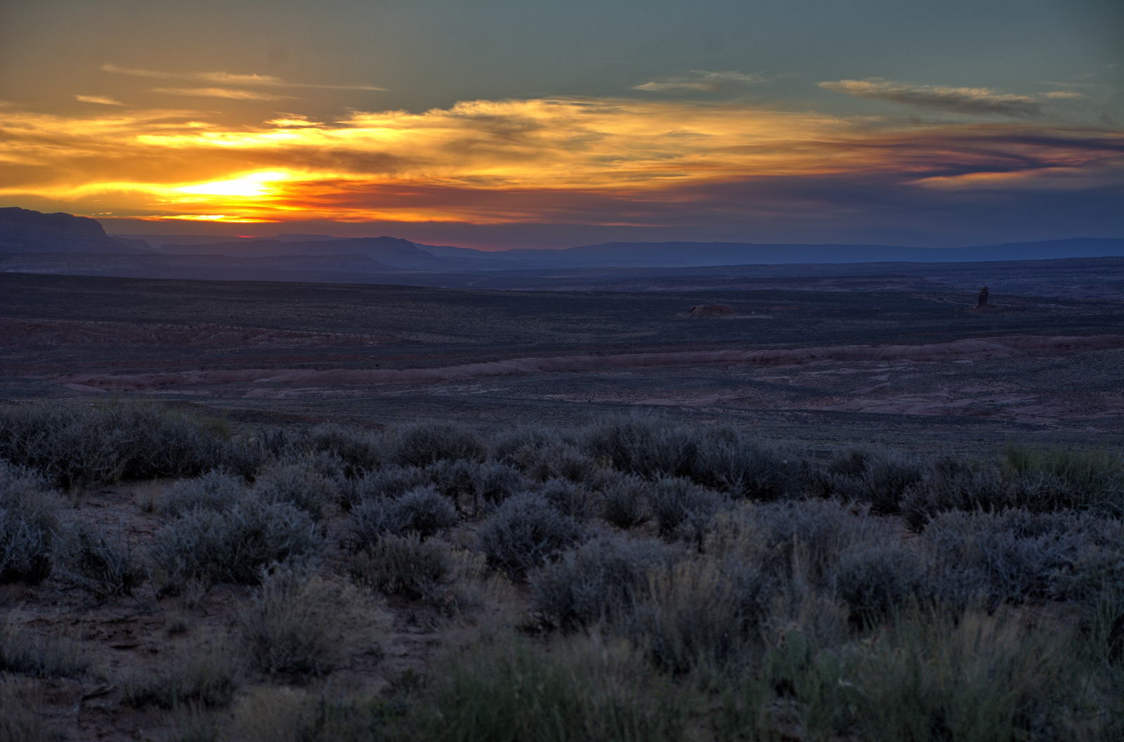
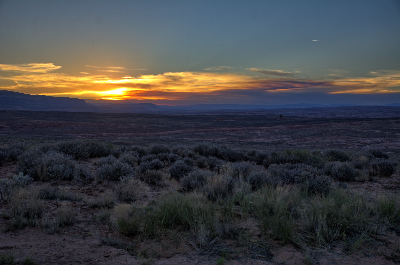
Chris flew his plane one last time for a sunrise video across the Escalante
River canyons, and then drove the last mile to the tank trailhead for Coyote
Gulch. He packed his backpack for an overnight stay, and began the walk
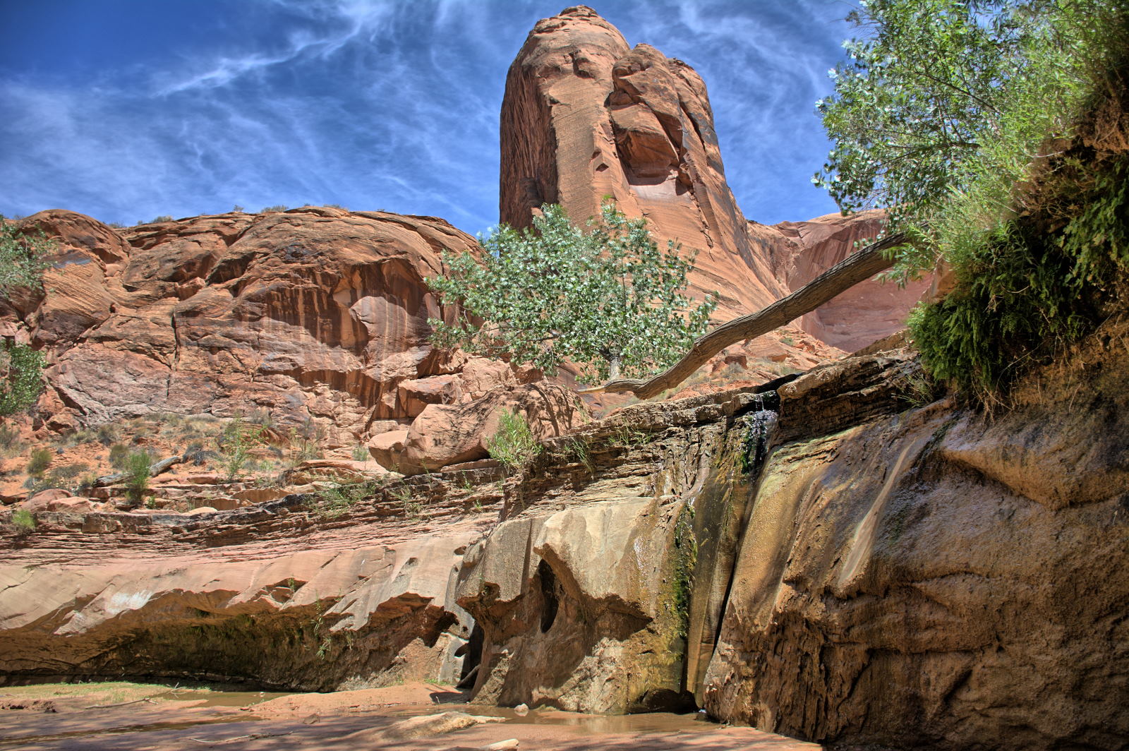
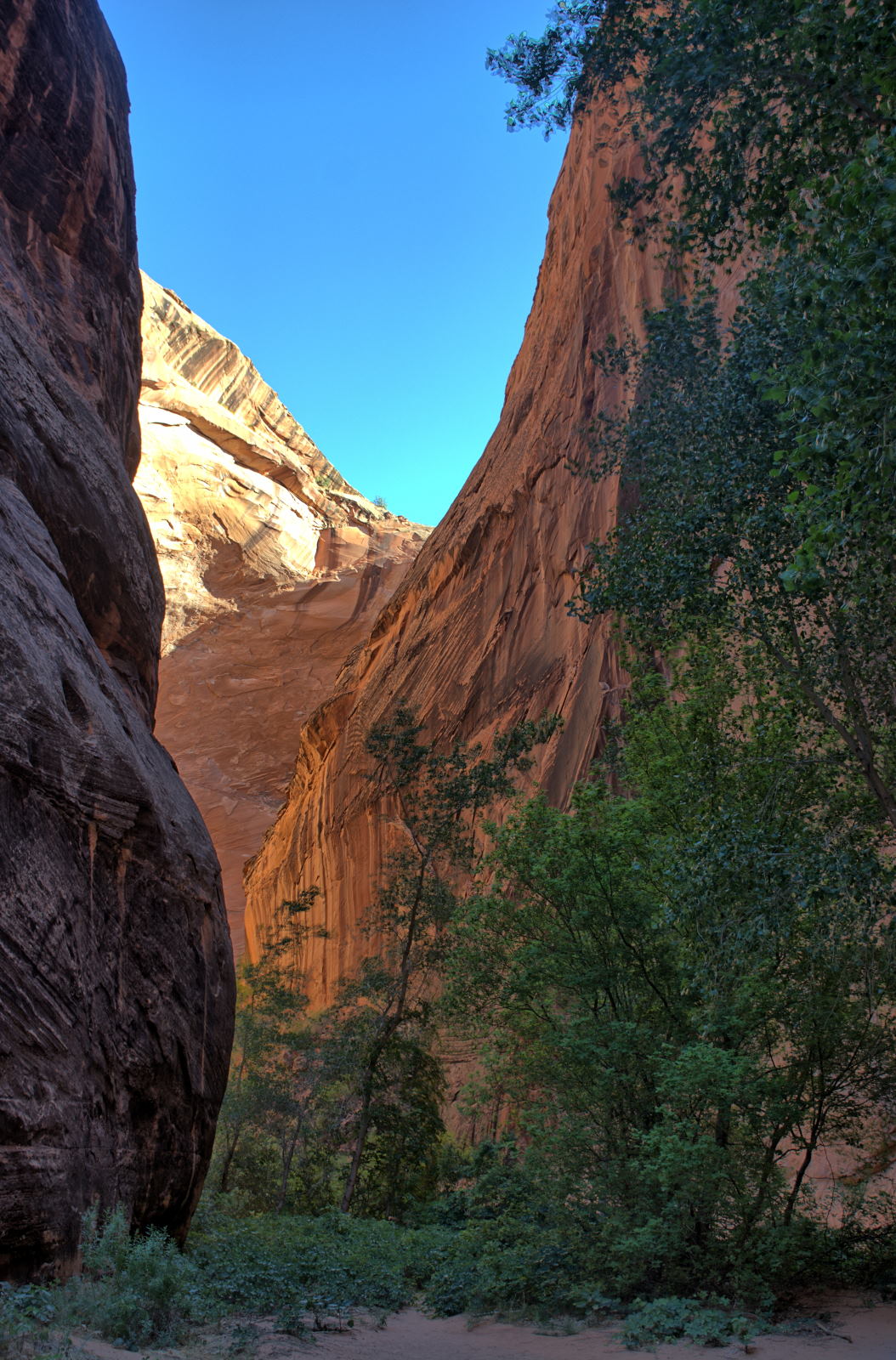
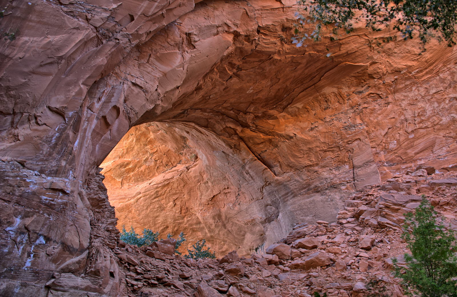
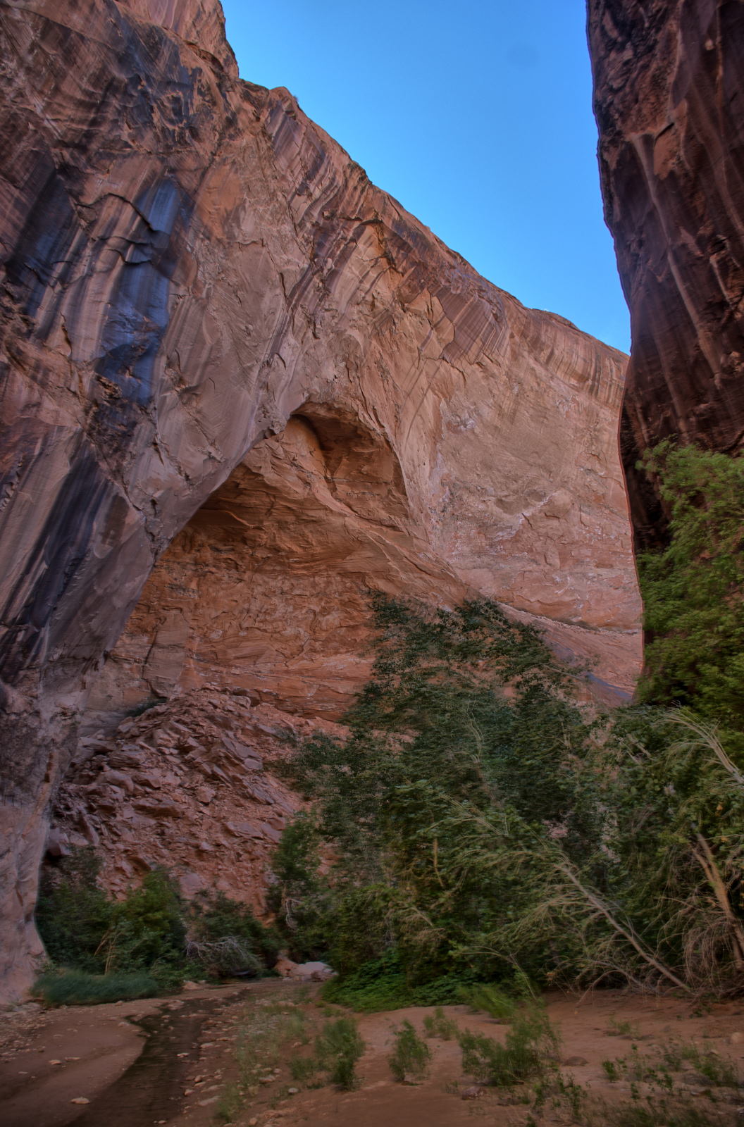
east to Crack In The Wall, which is the east entrance into Coyote Gulch.
Crack In The Wall descends about 60 feet down a section of rock that has broken
off the edge of the cliffs, and then you hike down the face of a 700 foot high
sand dune all the way to Coyote Gulch. You can also reach the Escalante
River or hike across it and up to Stevens Arch. The view from Crack In The Wall
by itself is almost enough for the entire hike, but there is so much more along
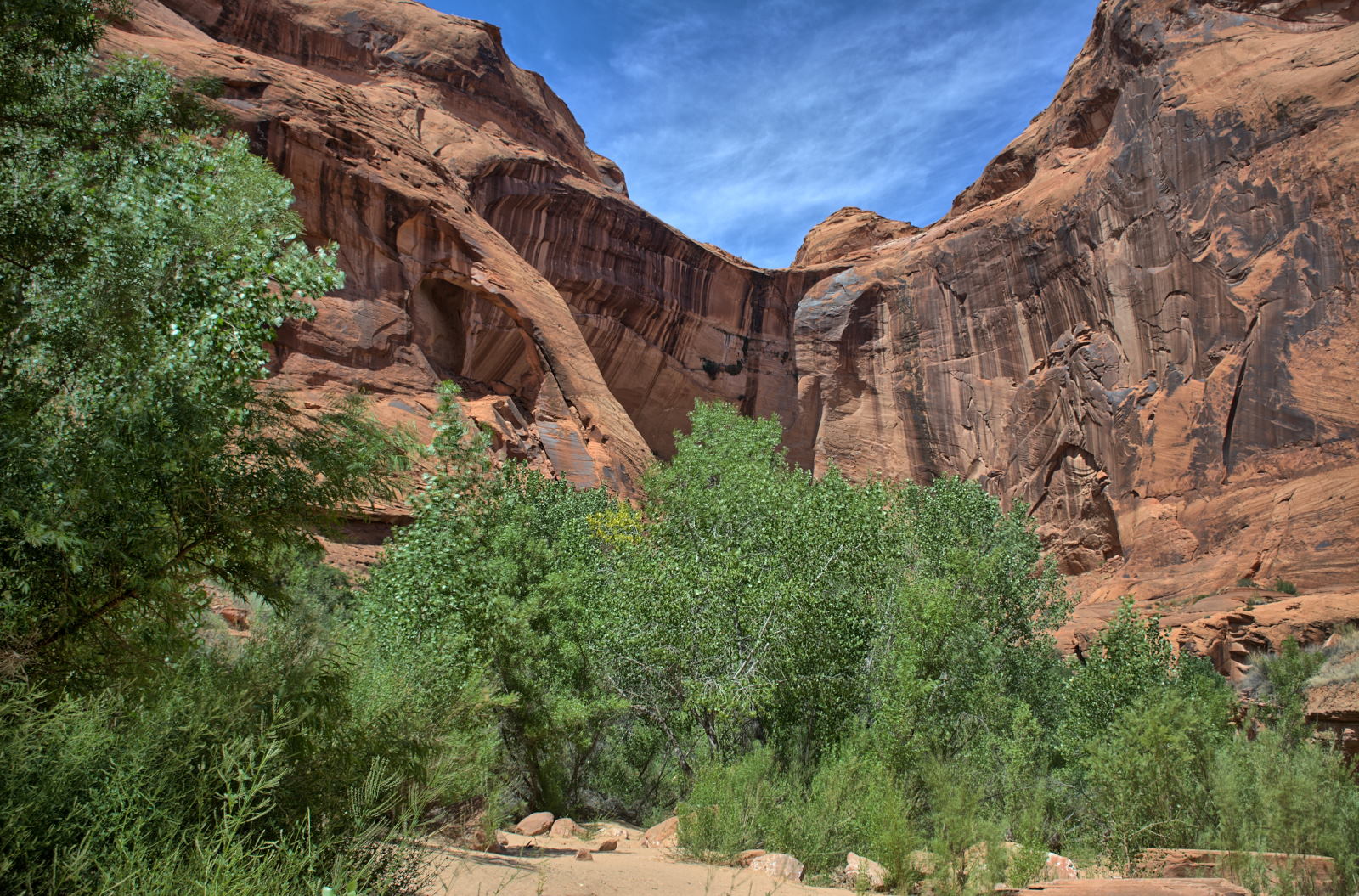
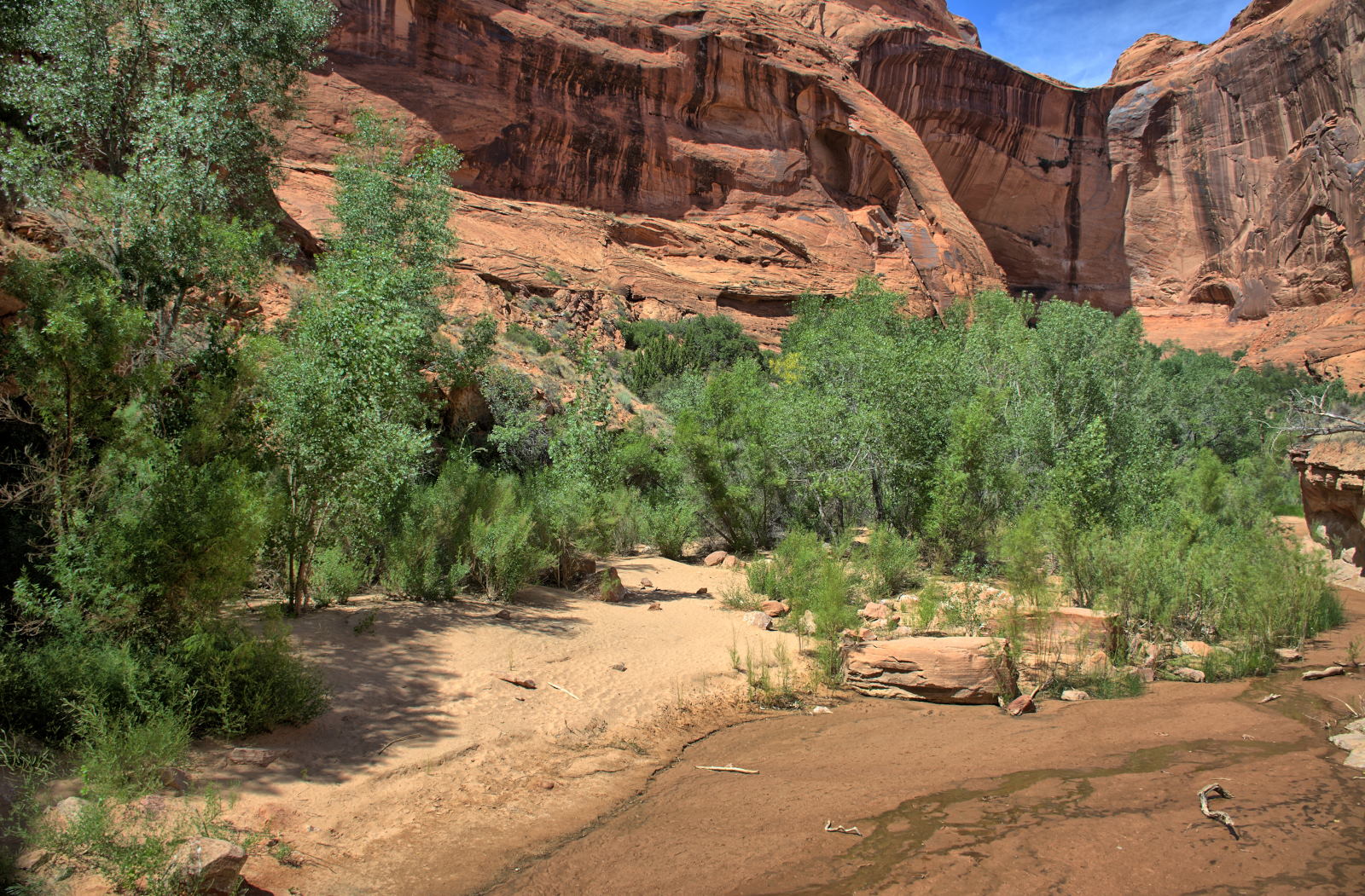
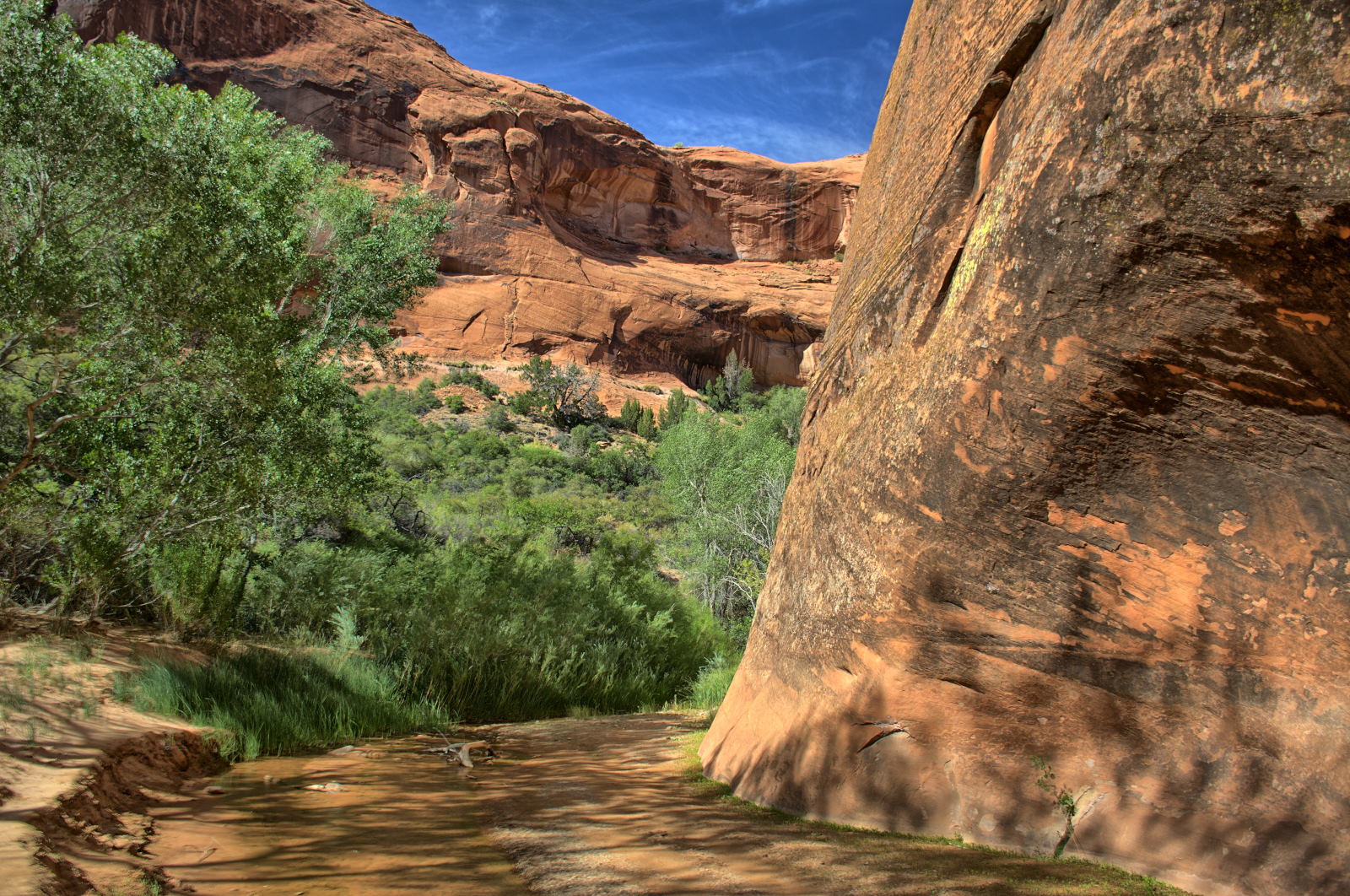
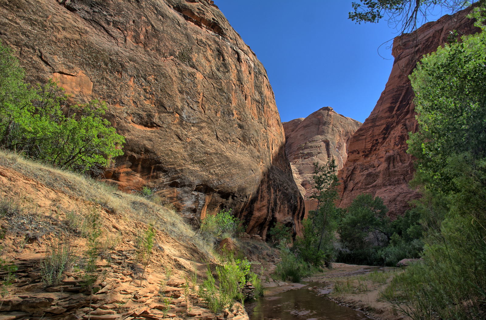
this hike to see that you will never get bored. He spent the whole day
slowly hiking west along the bottom of Coyote Gulch, passing waterfalls, side
canyons, and natural arches and bridges. The neatest site along the route
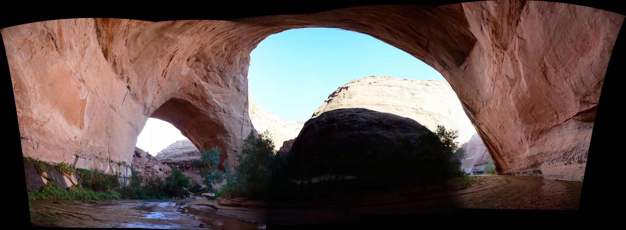
was Coyote Natural Bridge. He finally reached
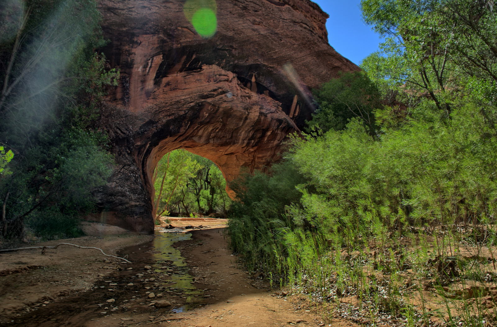
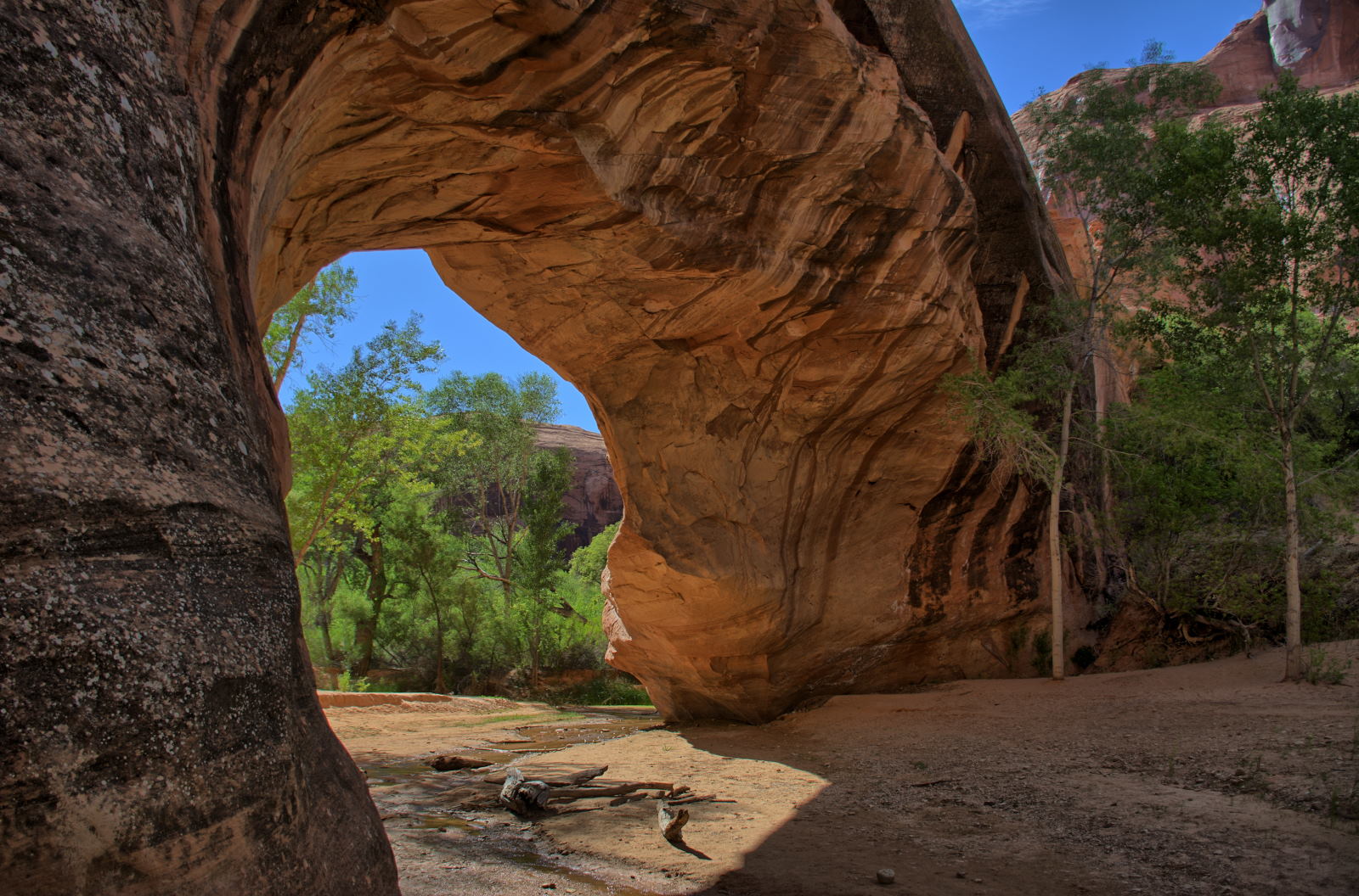
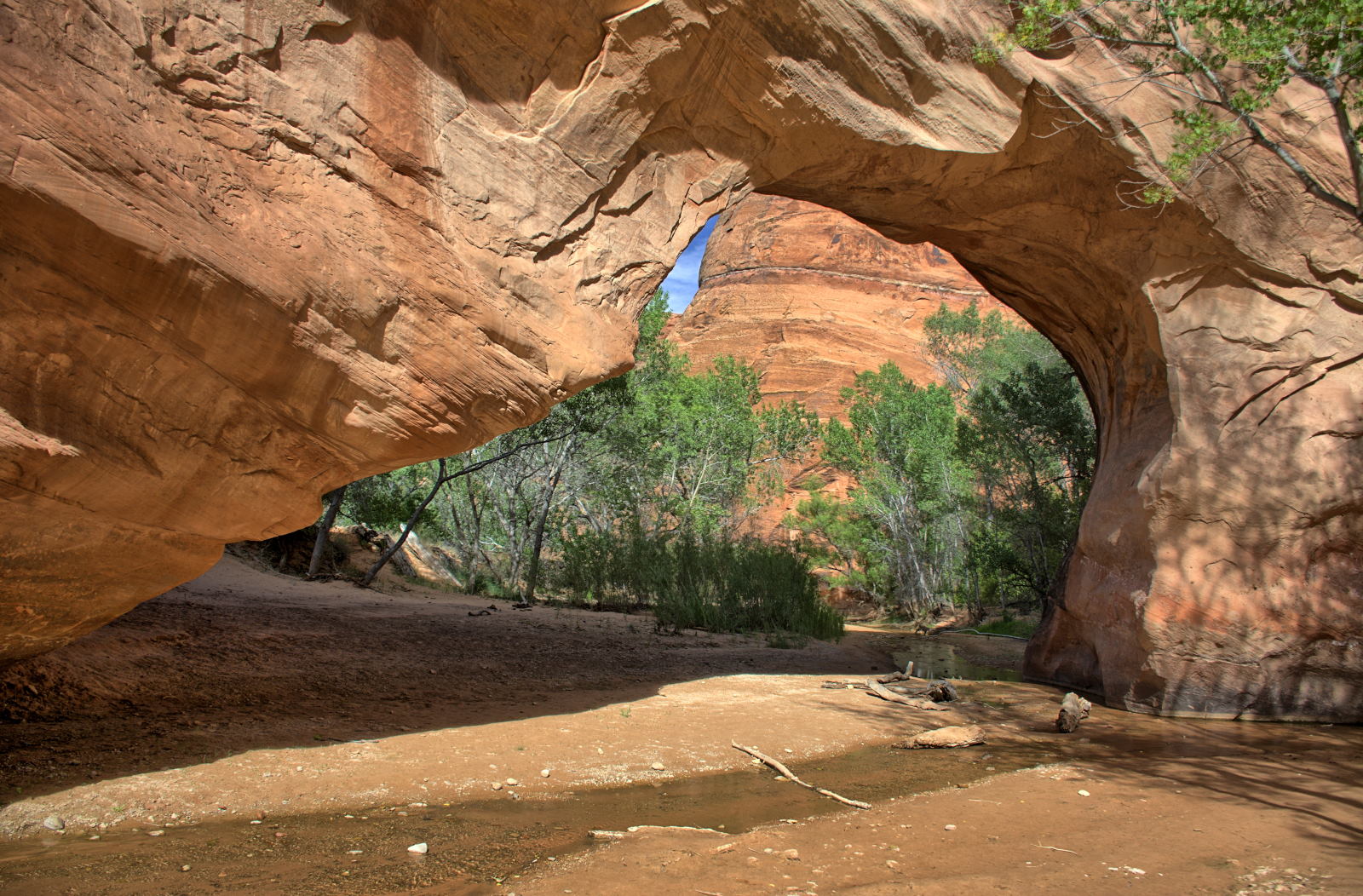
Jacob Hamblin Arch, where he camped for the night under the
arch.
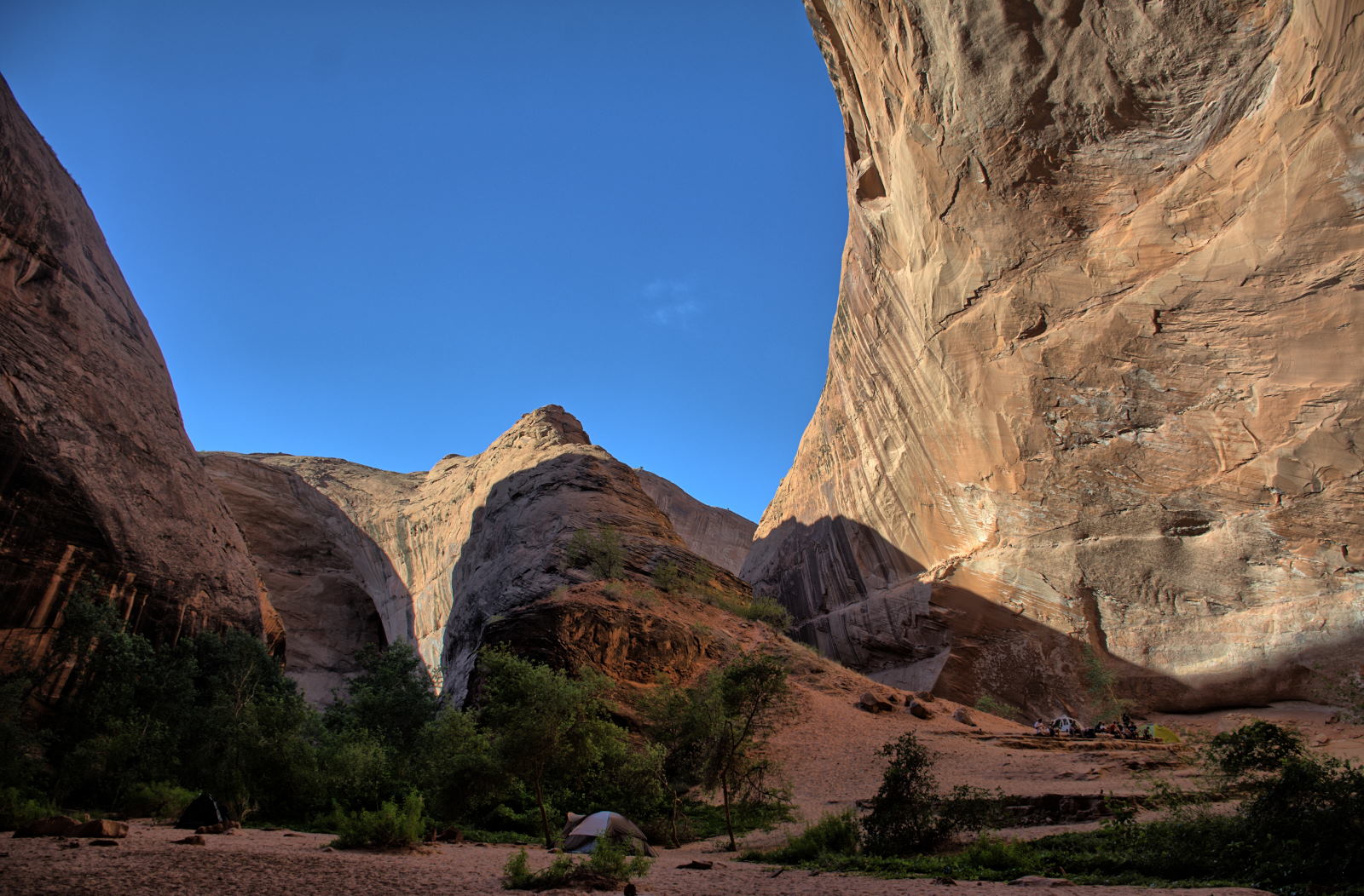
This was Chris' last day of hiking, and it started out with a bang. The
middle route out of Coyote Gulch is a class V climb via the Jacob Hamblin Arch
exit, also called the sneaker route. About 150 feet of this climb is
listed as class V, meaning climbing equipment is needed. When Chris
climbed out, there was rope strung up from a tie-in point, but Chris has carried
100' of rope in case that did not happen. He had planned to take off his
pack, free climb up a section, pull up his pack, and repeat. Because there
already was rope in place, he went ahead and climbed up with his pack on.
It was still scary, realizing that a slip would mean a dangerous fall. You
can see this climb in the video below "Coyote Gulch - Part 3". After he
reached the relatively level slick rock well above the canyon on the way back to the tank parking area,
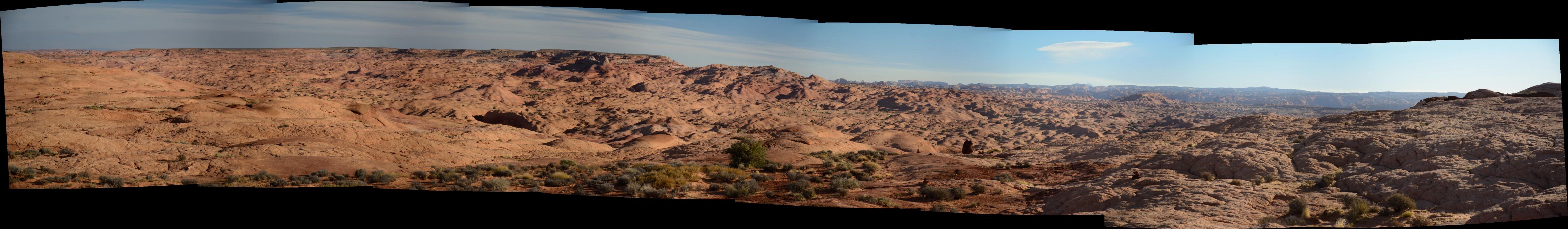
he took a few photos out across Coyote Gulch and the Escalante River basin.
Looking northeast across Coyote Gulch and the Escalante River basin
He made it back to his car, drank some cold water waiting for him in his
cooler, and began the long drive home. First stop after escaping Hole In
The Rock Road was Head Of The Rocks overlook, then he went east and north across
the Escalante Gorge, Grand Staircase - Escalante National Monument, before
stopping in Torrey for lunch. Then he drove east crossing Capitol Reef
National Park, and north past Goblin Valley to reach I-70. He
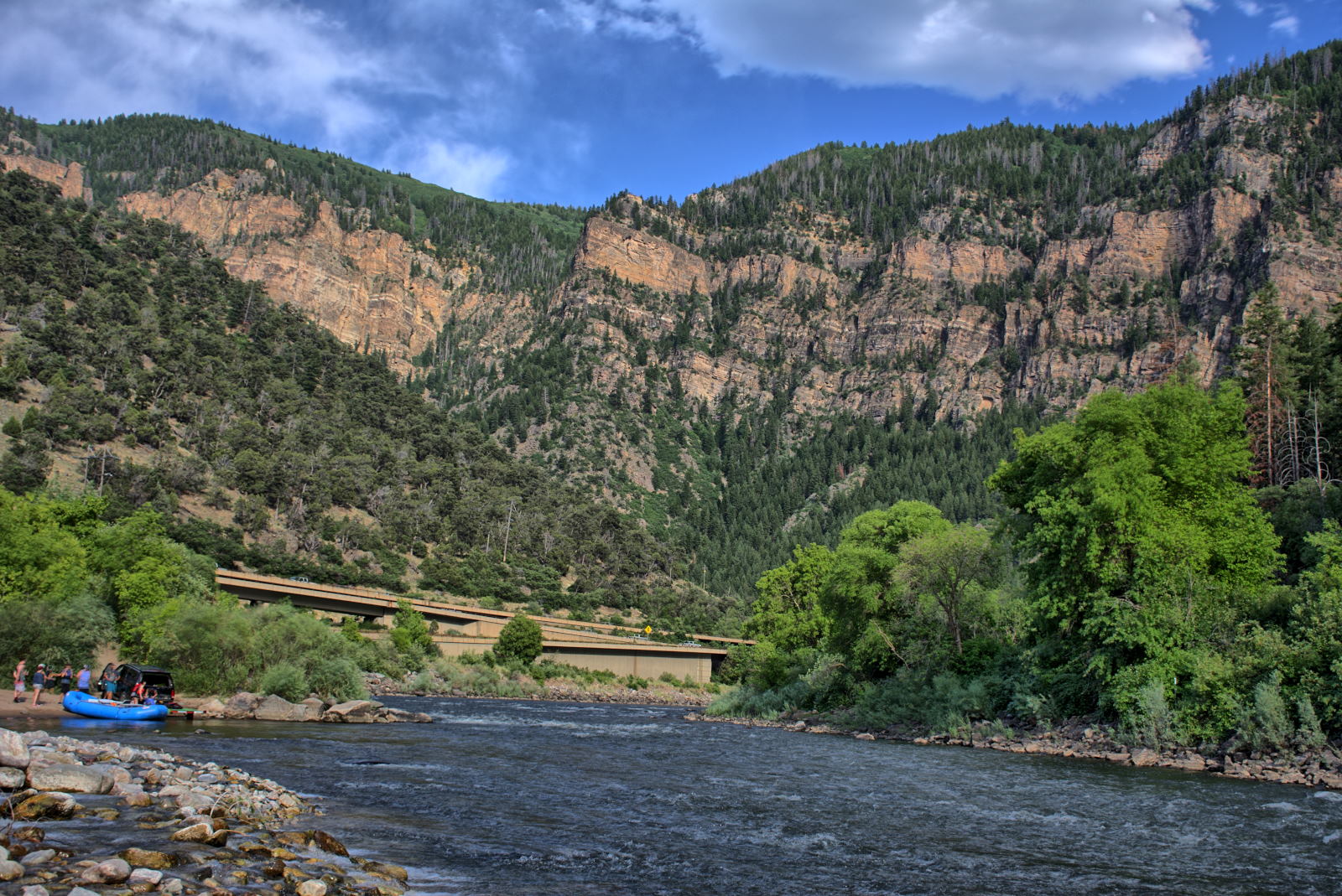
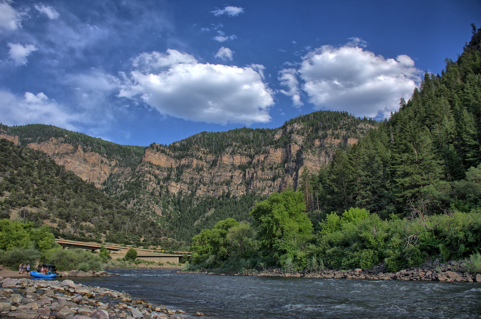
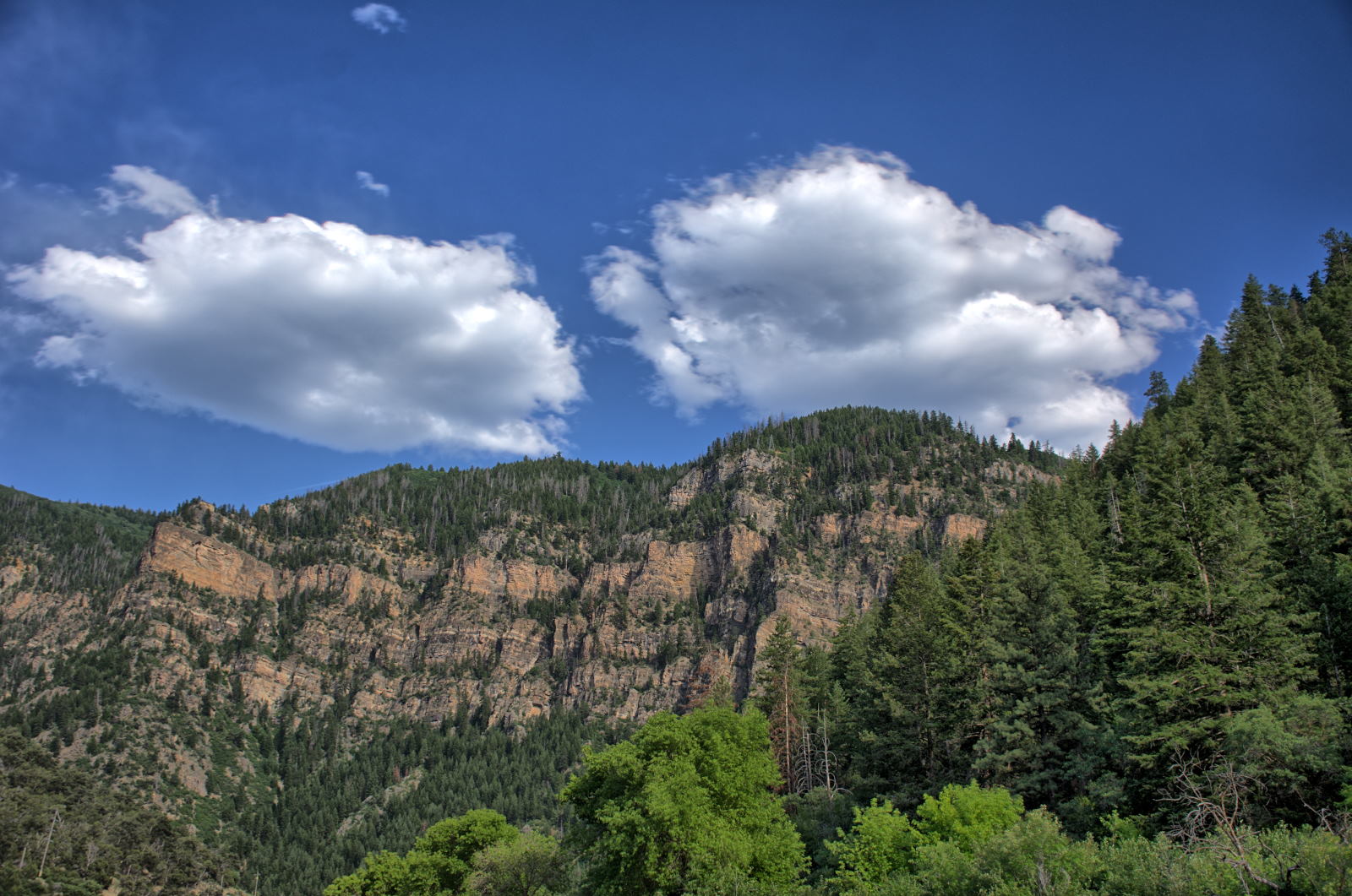
continue on east on I-70, making it 500 miles that day, stopping in Denver for the
night. He stopped at two rest areas in Glenwood Canyon on I-70 in
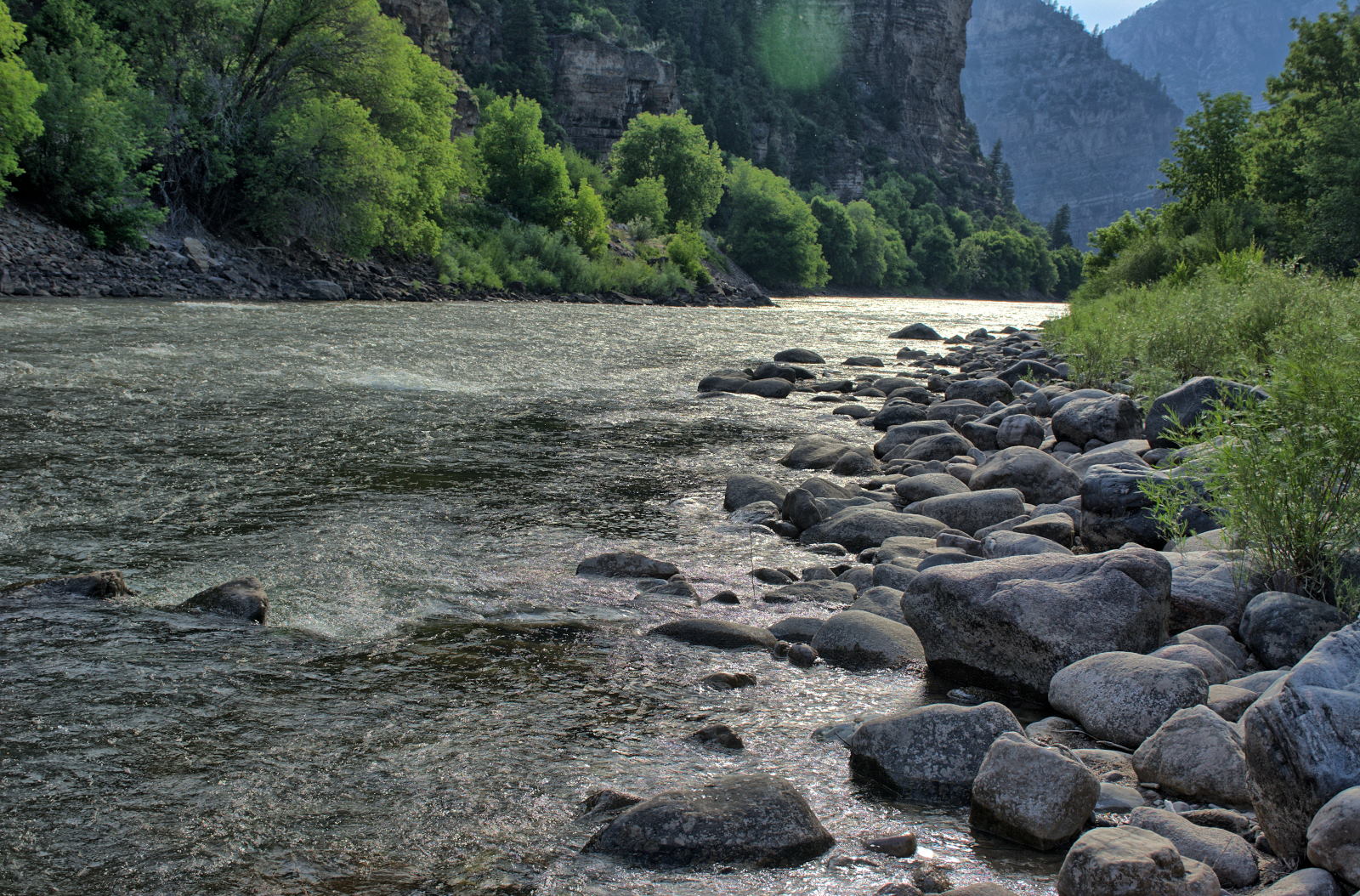
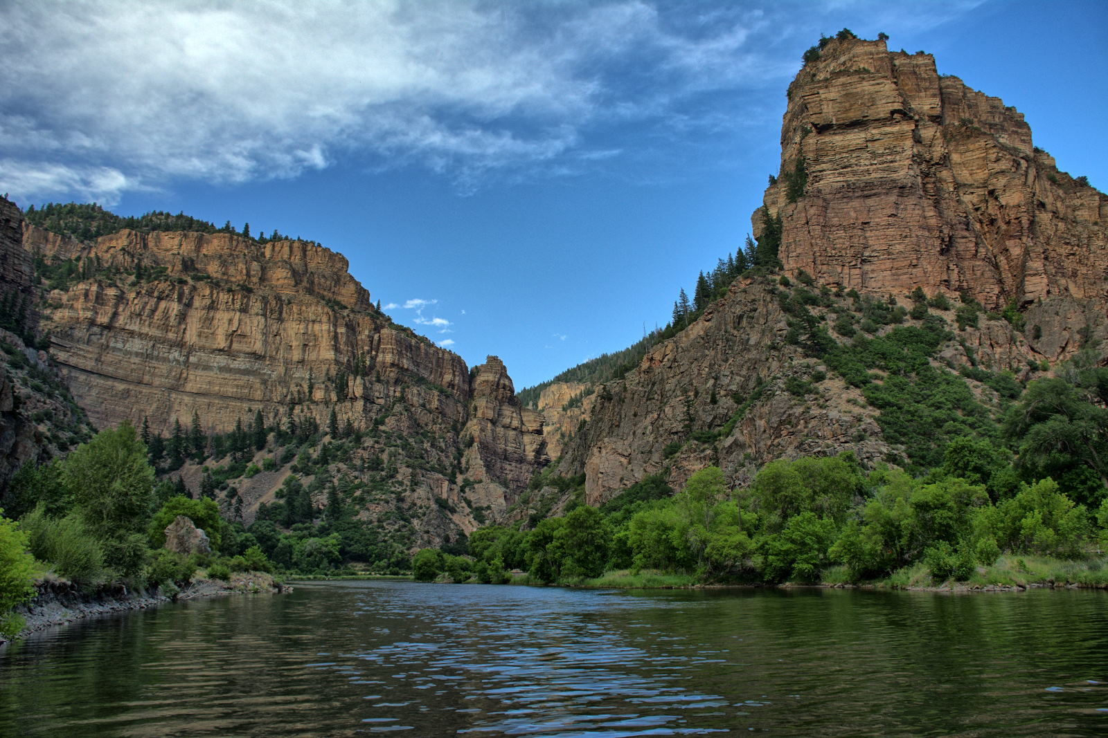
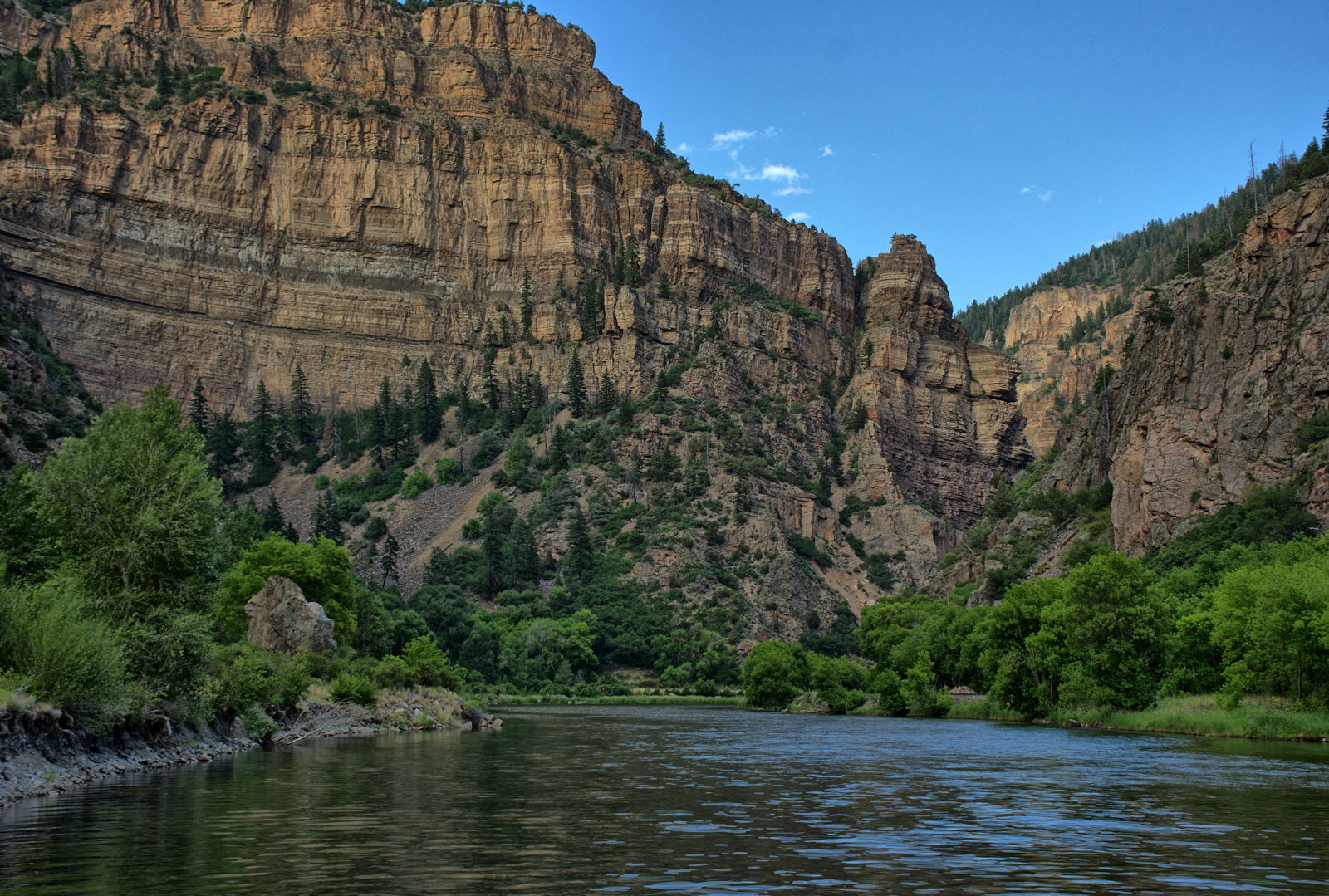
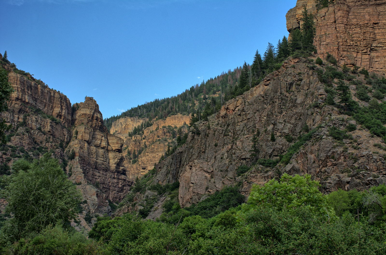
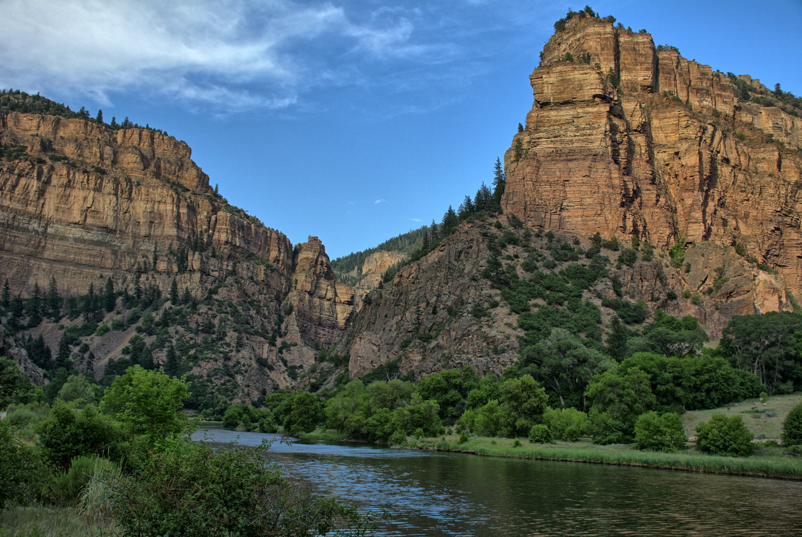
Colorado for rest and photos.
30 June 2018 to 01 July 2018, Saturday to Monday / 11 to 17 July 2018,
Wednesday to Tuesday
Chris drove 730 miles from Denver, Colorado to Columbia, Missouri on
Saturday. He continued on for 620 miles to Charleston, West Virginia on Sunday,
and the last 400 miles to home on Monday. Just 10 days after getting home
from this long trip, we all drove to Destin, Florida for Tami's sister's
wedding. We spent 7 days on this trip from
Maryland --> Soddy Daisy --> Destin --> Atlanta --> Maryland, spending the
first night at Chris' sister's house in Tennessee on the way down. Total mileage on
Chris' car in two months was slightly over 10000 miles.
November 2018
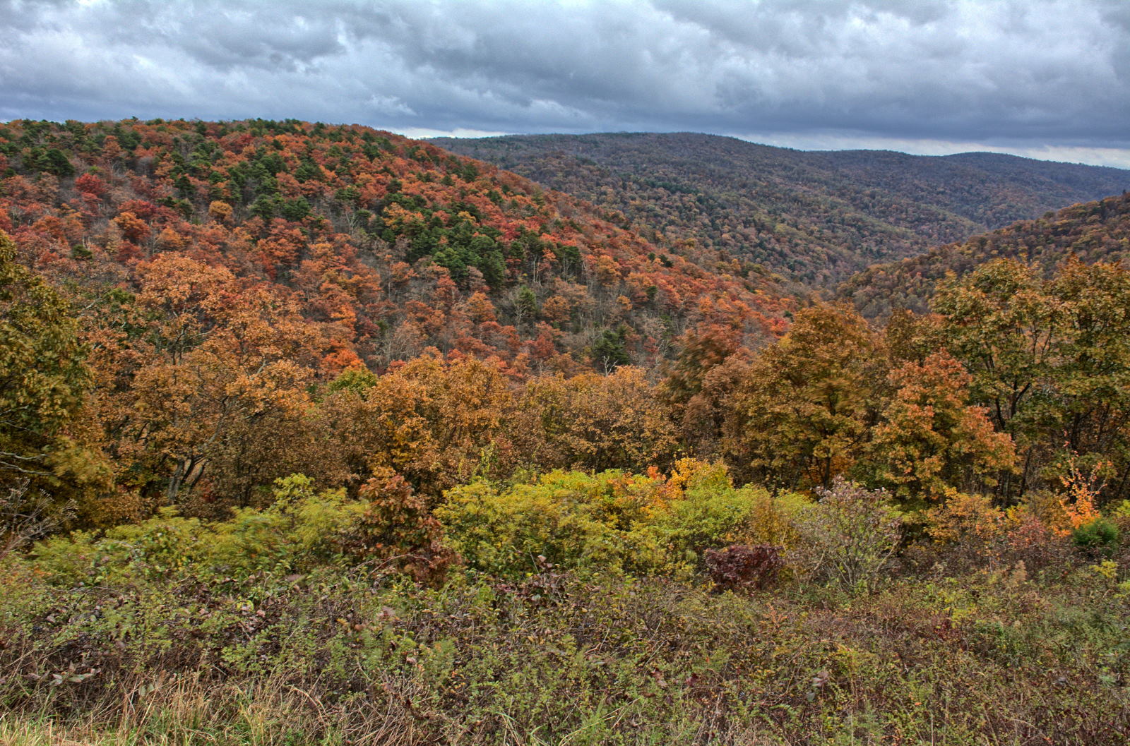
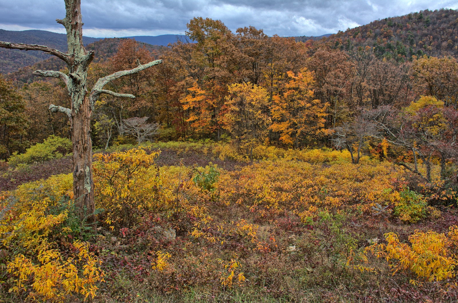
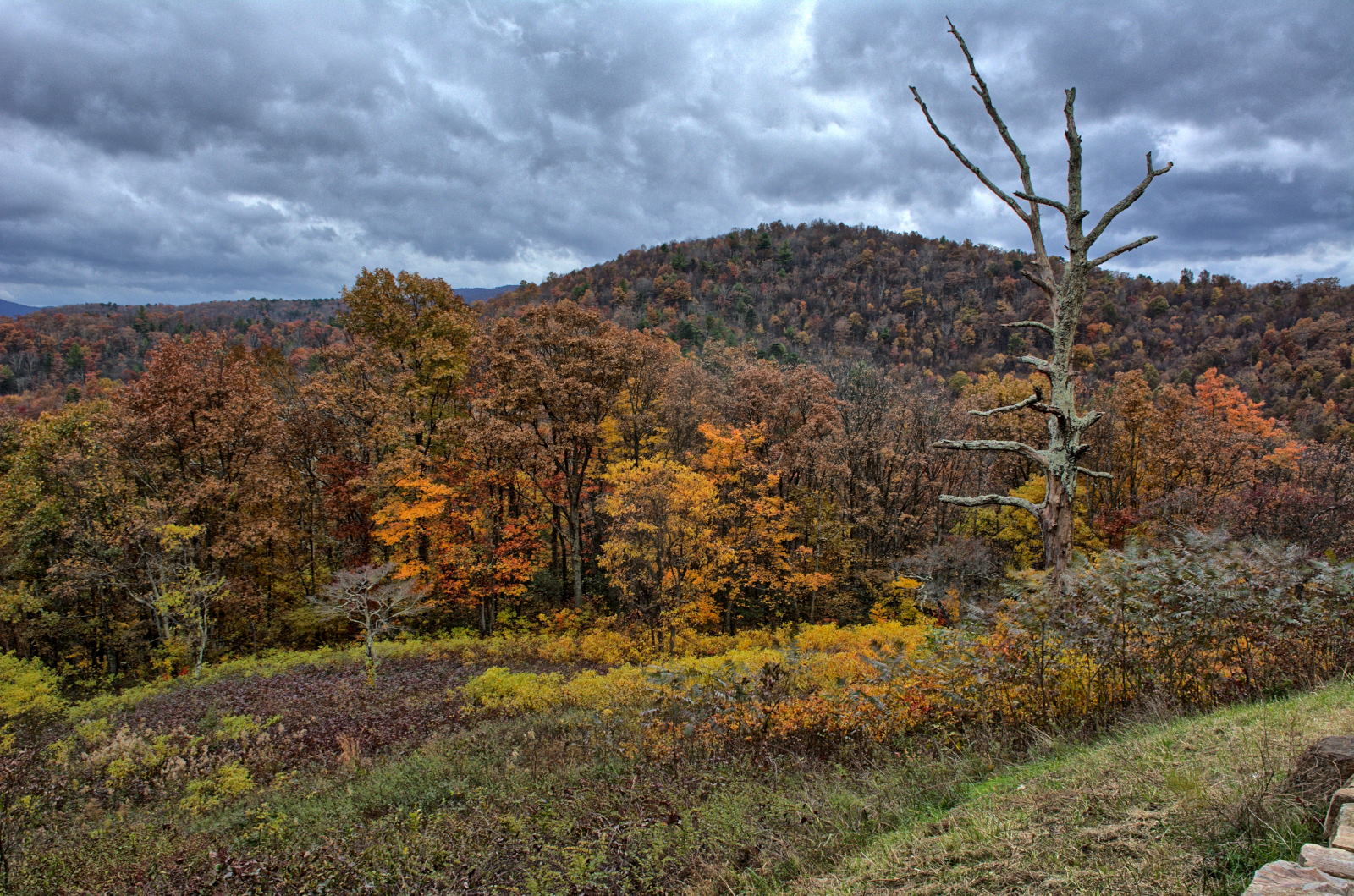
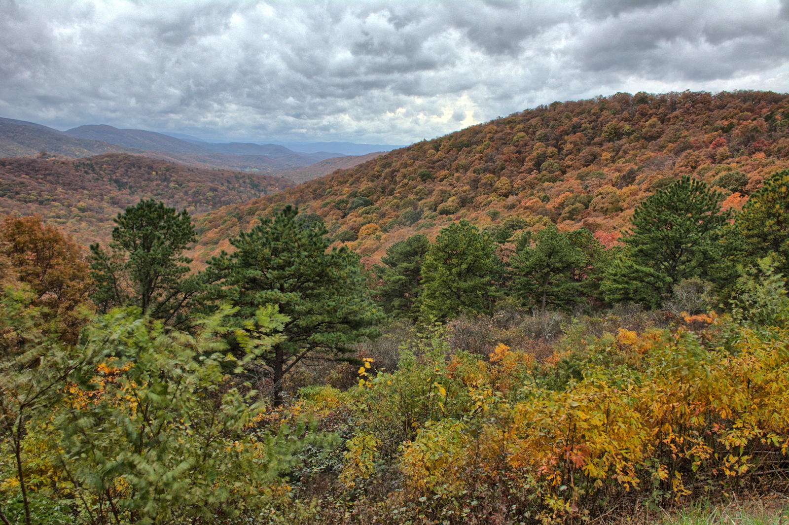
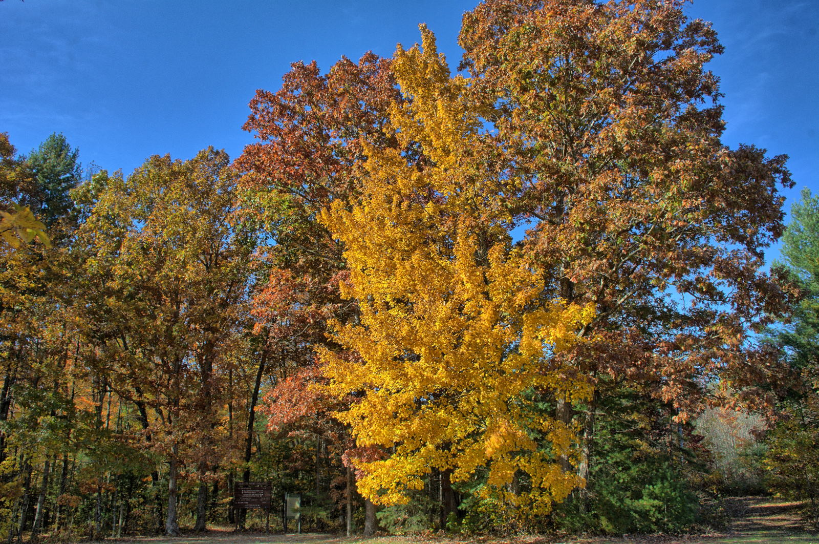
01 to 14 November 2018, Thursday to Wednesday
Chris started this trip by driving to Front Royal, Virginia and then going
south along Skyline Drive in Shenandoah National Park. He
recorded the drive
along Skyline Drive with a GoPro mounted to the windshield of his car. He saw lots of deer and
one bear, in the video at 12:02. The leaves' colors were changing, so he stopped to take lots of fall foliage photos.
He also hiked the
trails to the top of Stony Man Mountain near Skyland, and to the top of
Bearfence Mountain near Big Meadows
while recording it on his GoPro. At the south end of Skyline Drive he
continued on the Blue Ridge Parkway until it got dark and then drove off the
mountains, west to I-81. He drove on that evening, reaching Cumberland
Gap National Historic Park at the far west tip of Virginia. Just before he
reached Cumberland Gap, on a divided four-lane road, a large black bear came out
of the dark from the left and ran right in front of him. He veered to the right,
but still struck the bear slightly. After slowing to a stop, he checked
for damage. There were no dents or fur, but a smeared nose print ran
across
the left side of the car starting just behind the rear door handle. He camped that
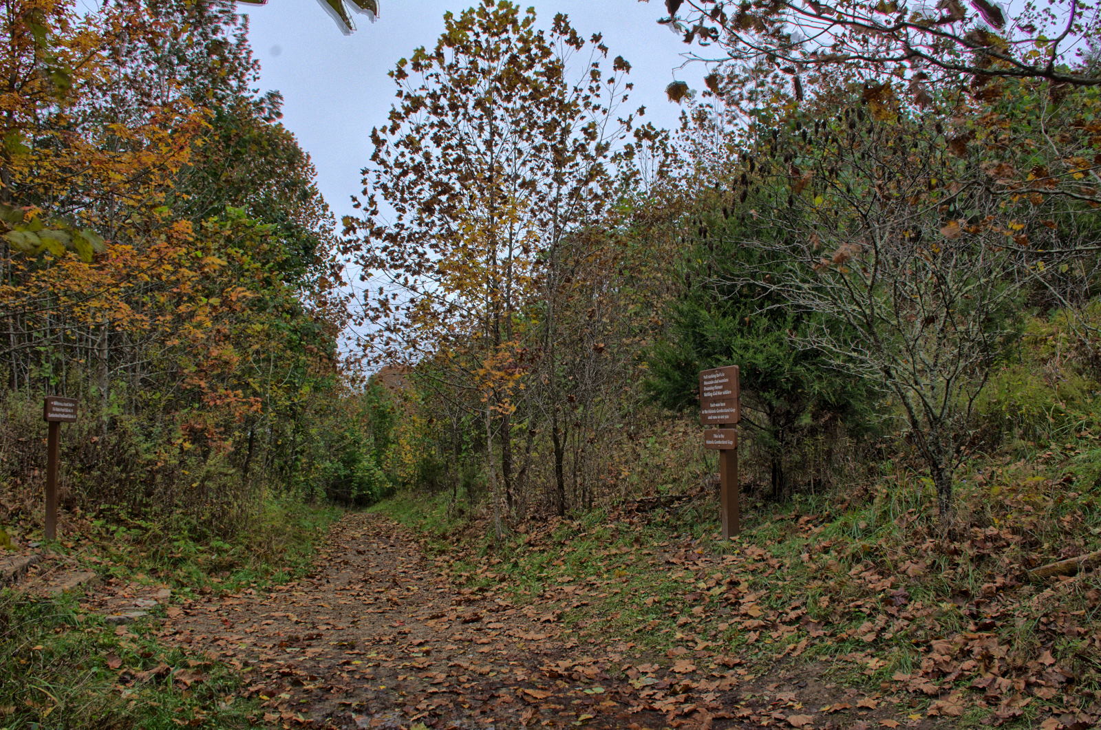
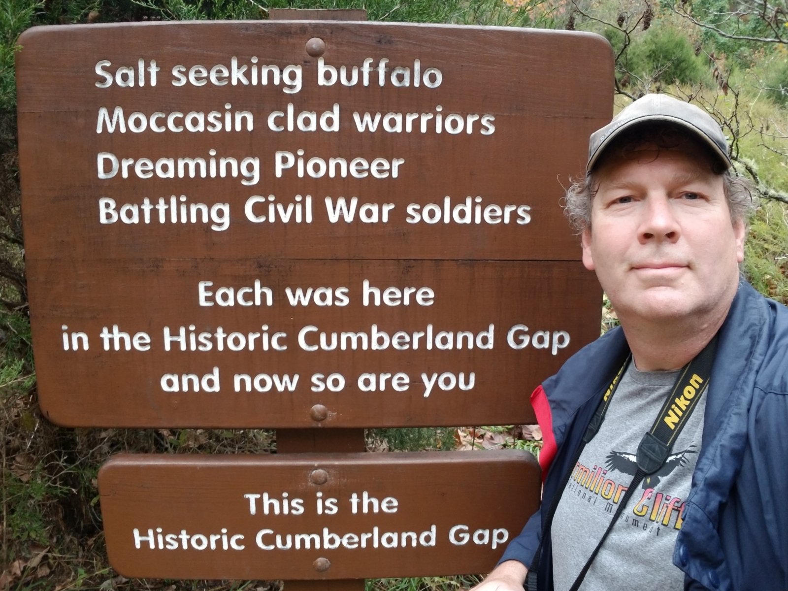
night at Cumberland Gap National Historic Park.
Skyline Drive, Shenandoah National Park
GoPro videos of Skyline Drive and Bearfence Mountain
Chris got up and drove through the Cumberland Gap Tunnel into Middlesboro,
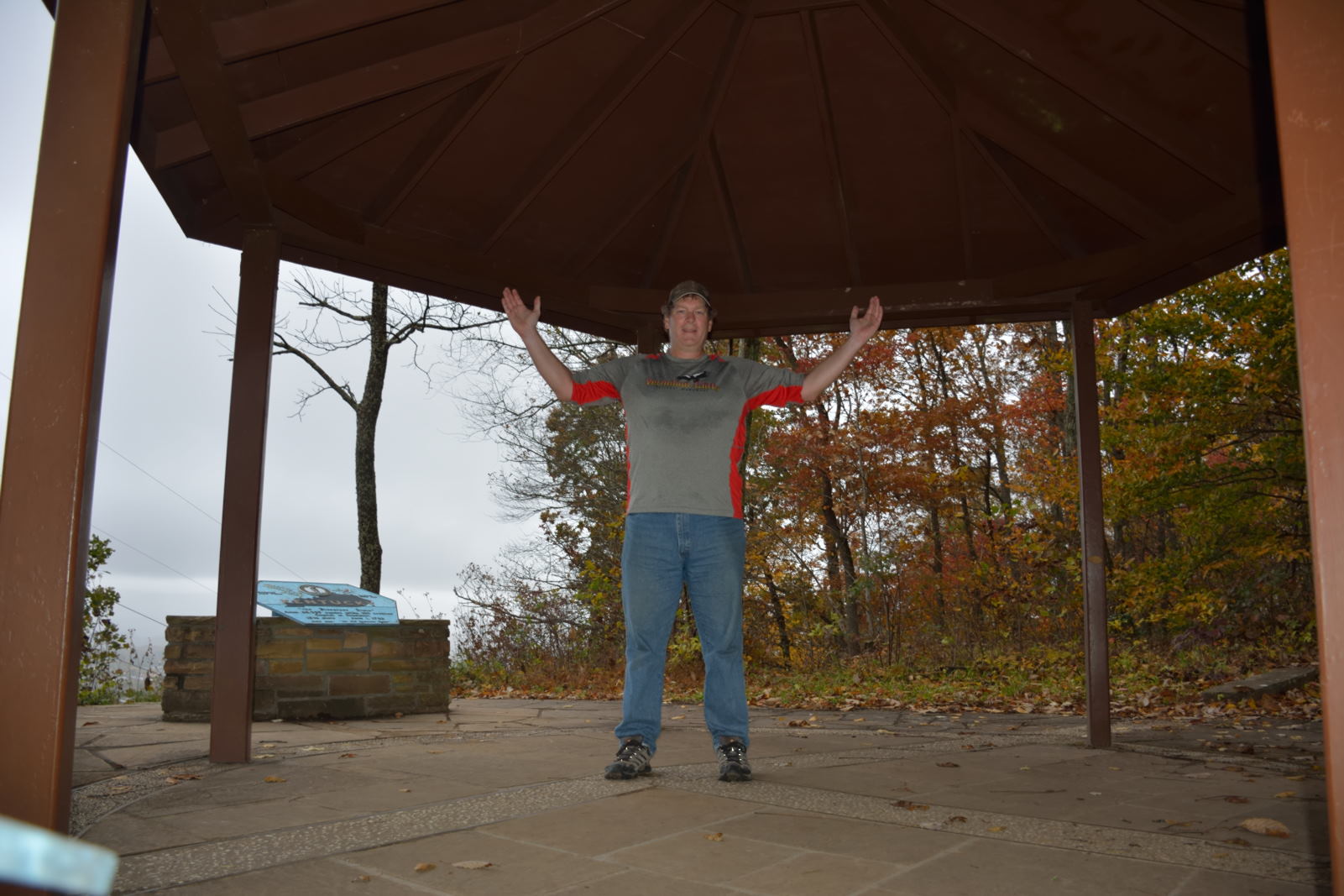
Kentucky for breakfast. He then drove back to the visitor center at
Cumberland Gap National Historic Park and then up to the Pinnacle Overlook which
is 900 feet
above the Cumberland Gap. He then drove back down to the main parking area and
hiked up to the actual Cumberland Gap, then to the Tri-State Peak where
Virginia, Kentucky, and Tennessee come together. He returned to the
parking lot via the original Wilderness Road route, walking along a path that
was used as early as 1775 by Daniel Boone. The actual Cumberland Gap used
to have a major road, US 25E, running over it, but the Cumberland Gap Tunnel was
completed in 1996 and the landscape at the actual gap was restored over the next
several years to its original makeup.
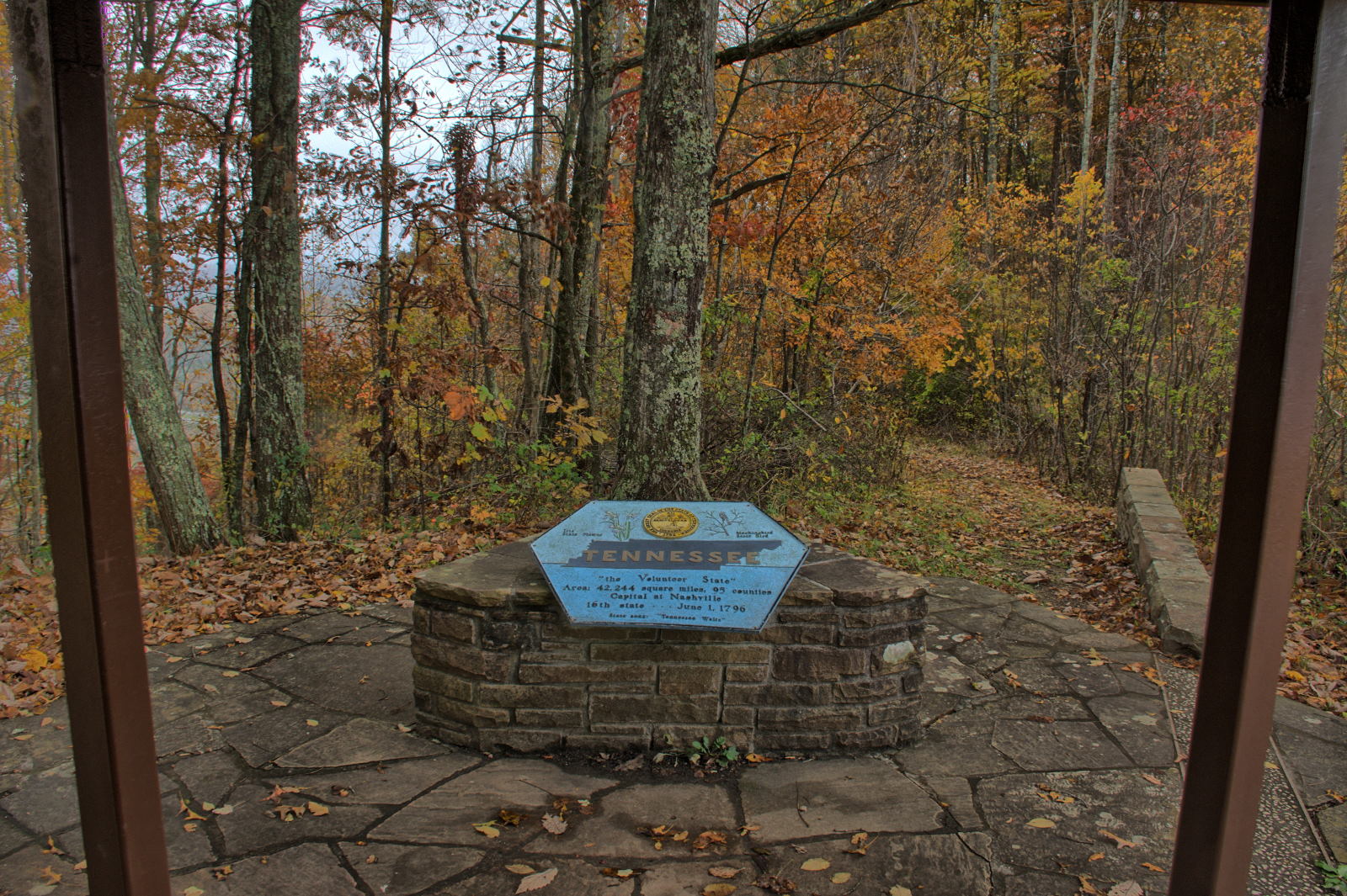
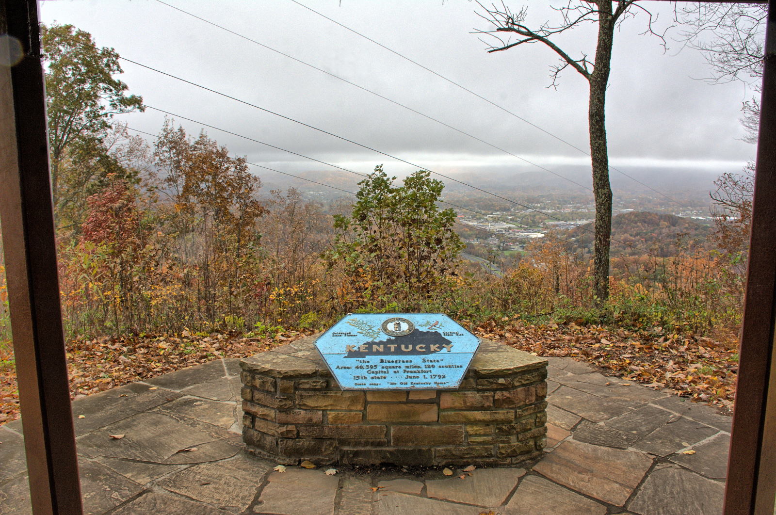
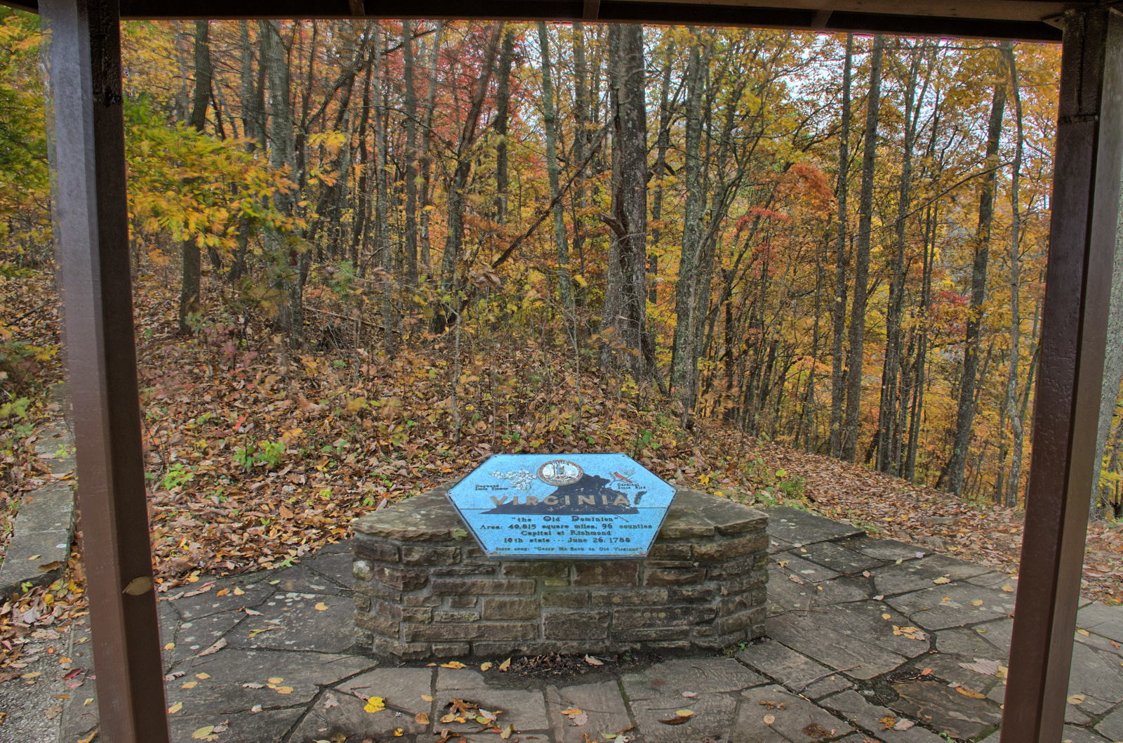
Cumberland Gap & Tri-State Peak
Pinnacle Overlook, standing in Virginia, Tennessee straight ahead, Cumberland Gap bottom right,
Kentucky to the right
After hiking all day in the rain, Chris continued on to Big South Fork
National Recreation Area. Chris' sister and her husband and several of their
friends were camping there for the weekend, and Chris joined them. They all went
hiking to one of the old farmhouses in the park on Saturday, one of the few
sunny days on the entire trip, and then everyone headed home on Sunday morning.
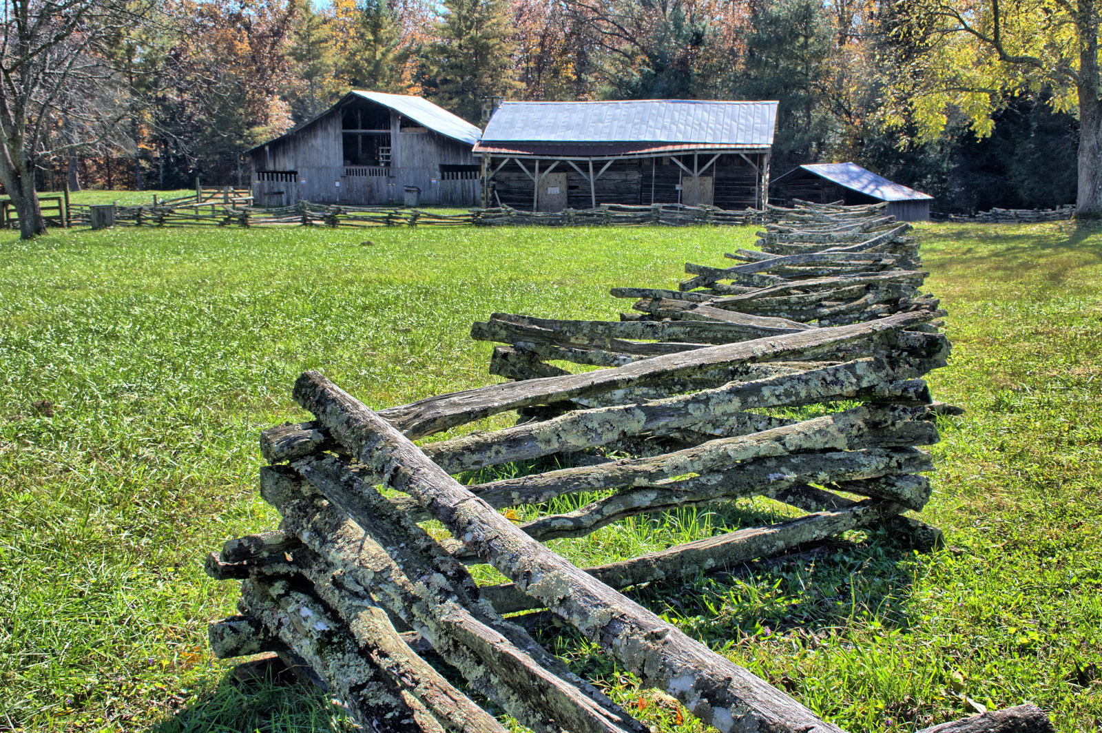
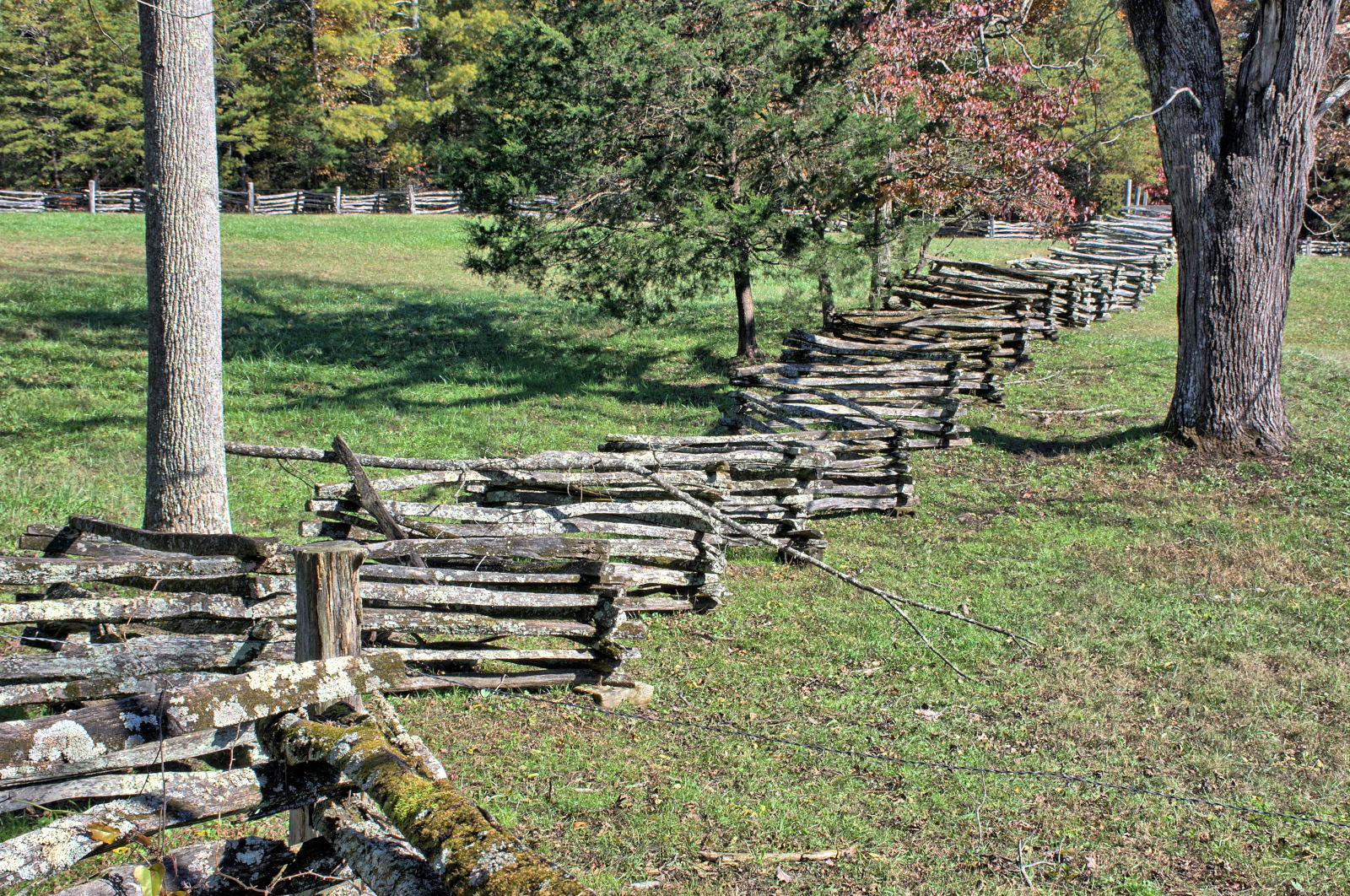
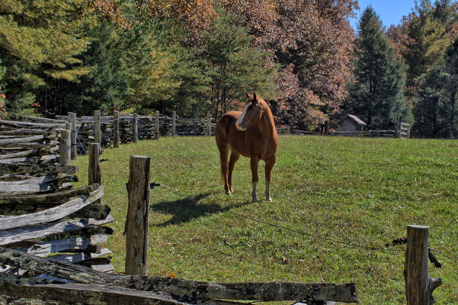
Big South Fork National Recreation Area
Chris continued on south towards Huntsville for work, stopping for a short
visit at Rock Island State Park, where he had last visited in 2012. Flight
testing at Redstone Arsenal, Huntsville, Alabama went all week.
Rock Island State Park
When flight testing was completed on Friday, Chris drove to his sister's
house just north of Chattanooga for the weekend. He had planned to spend
the weekend with his sister, and then go up into the Smoky Mountains on Monday for several
days of hiking and camping. Chris, his sister Karen, and her husband Doug
went hiking nearby on Saturday along the Cumberland Trail in Soddy-Daisy and
then at Fall Creek Falls State Park on Sunday, but it starting raining in
earnest on Monday. The rain was forecast to go all week.
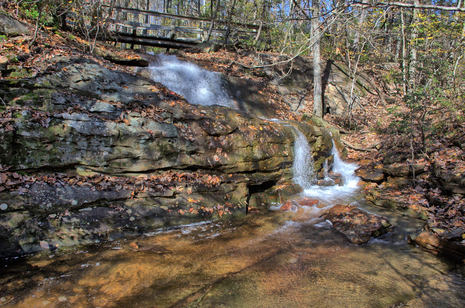
Cumberland Trail, Soddy-Daisy
Fall Creek Falls State Park
Chris
relaxed on Monday, and then drove to Great Smoky Mountains National Park on
Tuesday. He visited Cades Cove on Tuesday, then had dinner in Gatlinburg
and saw a movie in Pigeon Forge that evening. He camped in his car on
Tuesday night, as it was too wet and cold to be comfortable in a tent. He
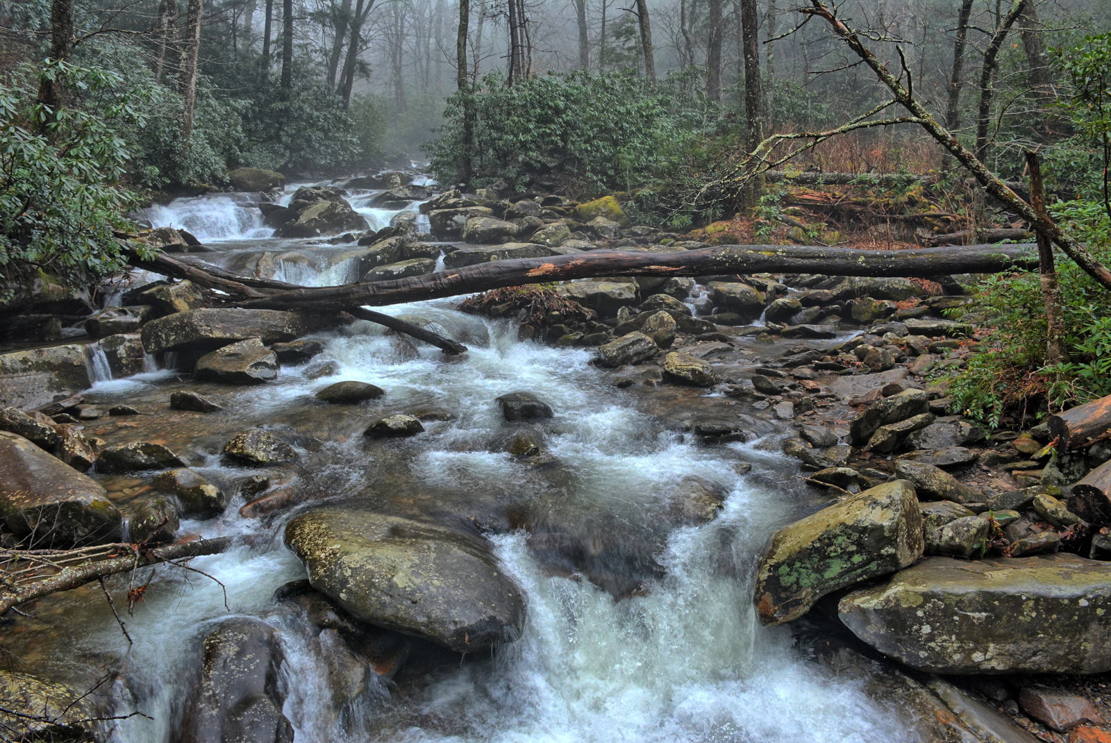
hiked several short trails in the rain on Wednesday morning, then drove up to
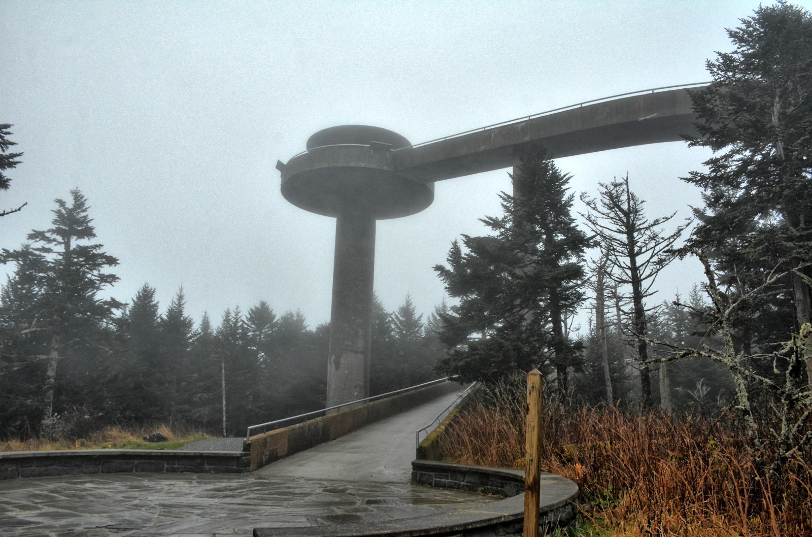
Newfound Gap and Clingmans Dome, the highest point in the Smoky Mountains and
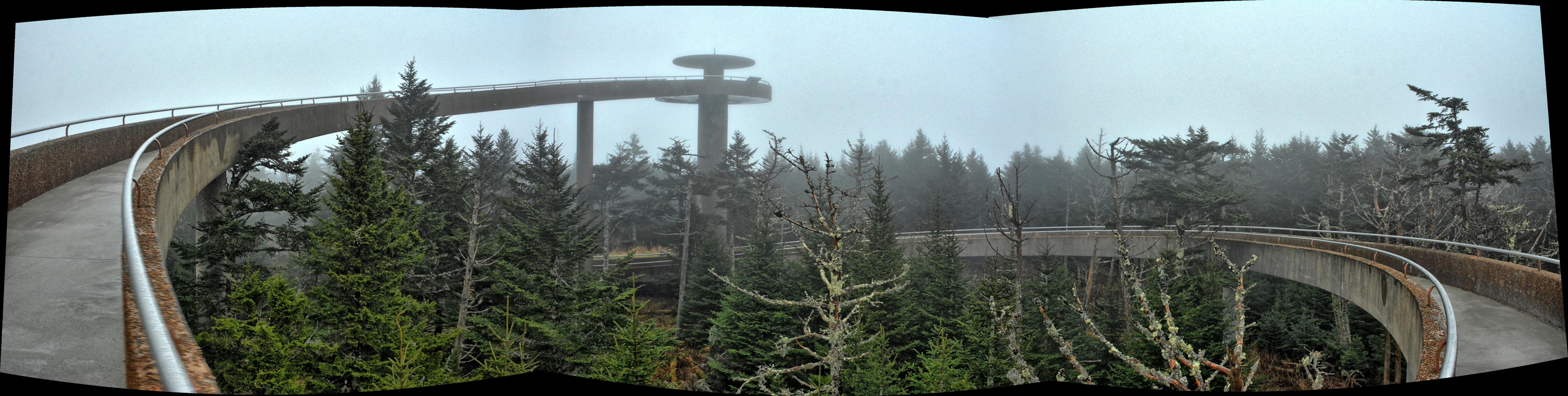
also the highest point along the Appalachian Trail. The observation tower
at Clingmans Dome was socked in by clouds, as often seems to be the case for the Smoky Mountains.
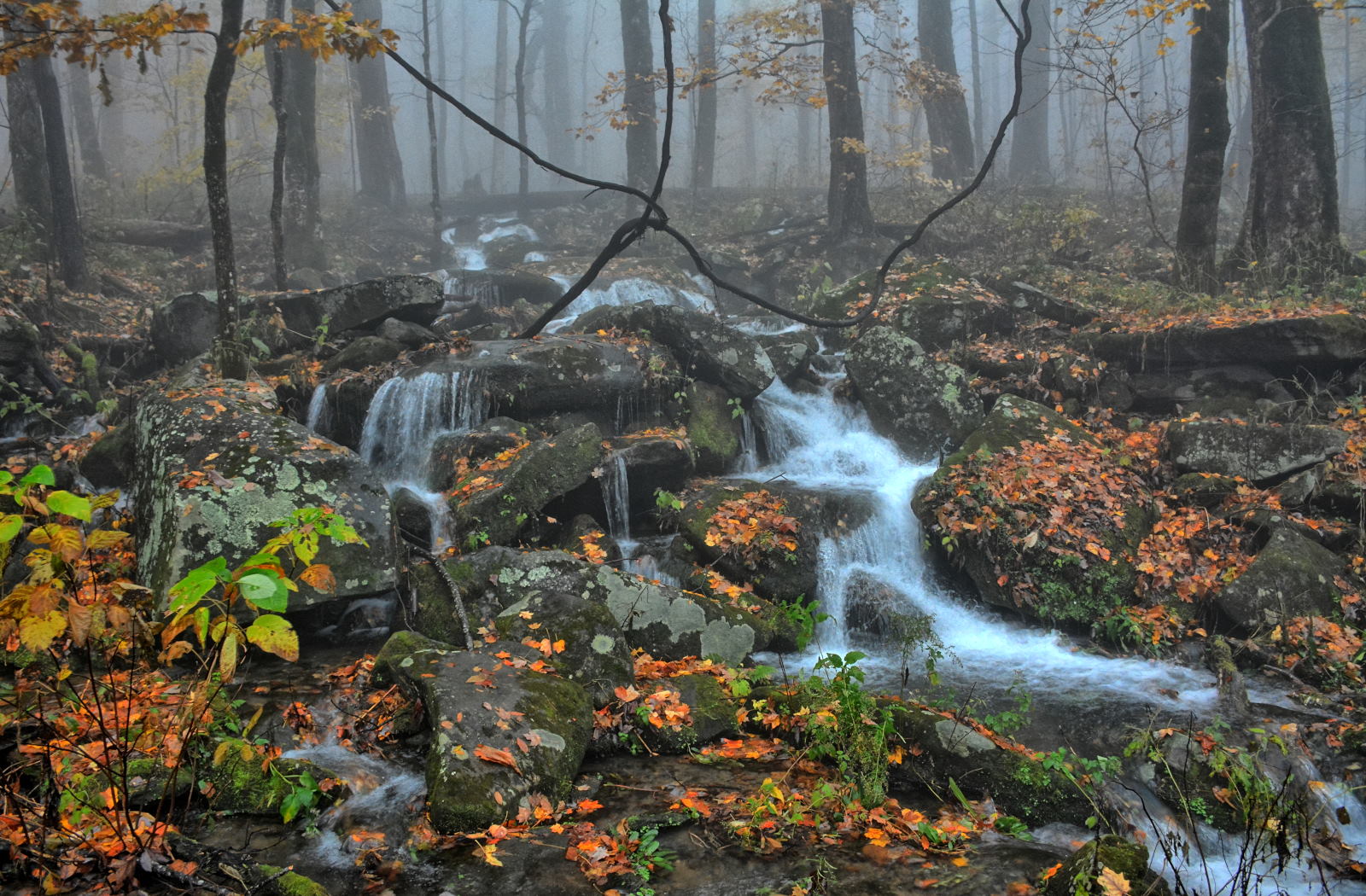
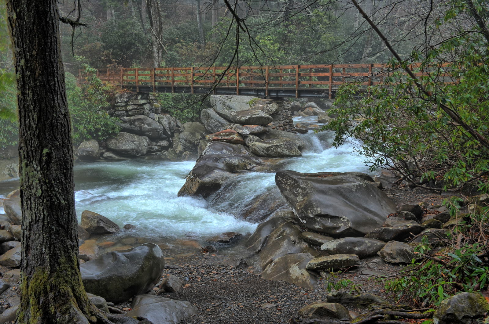
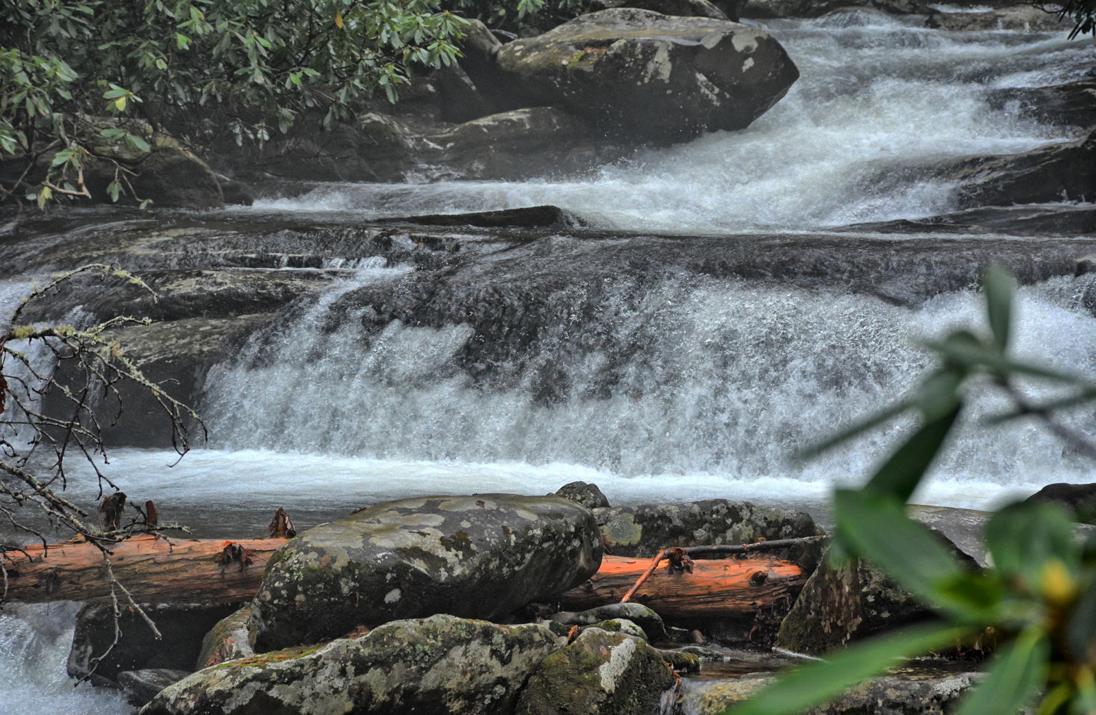
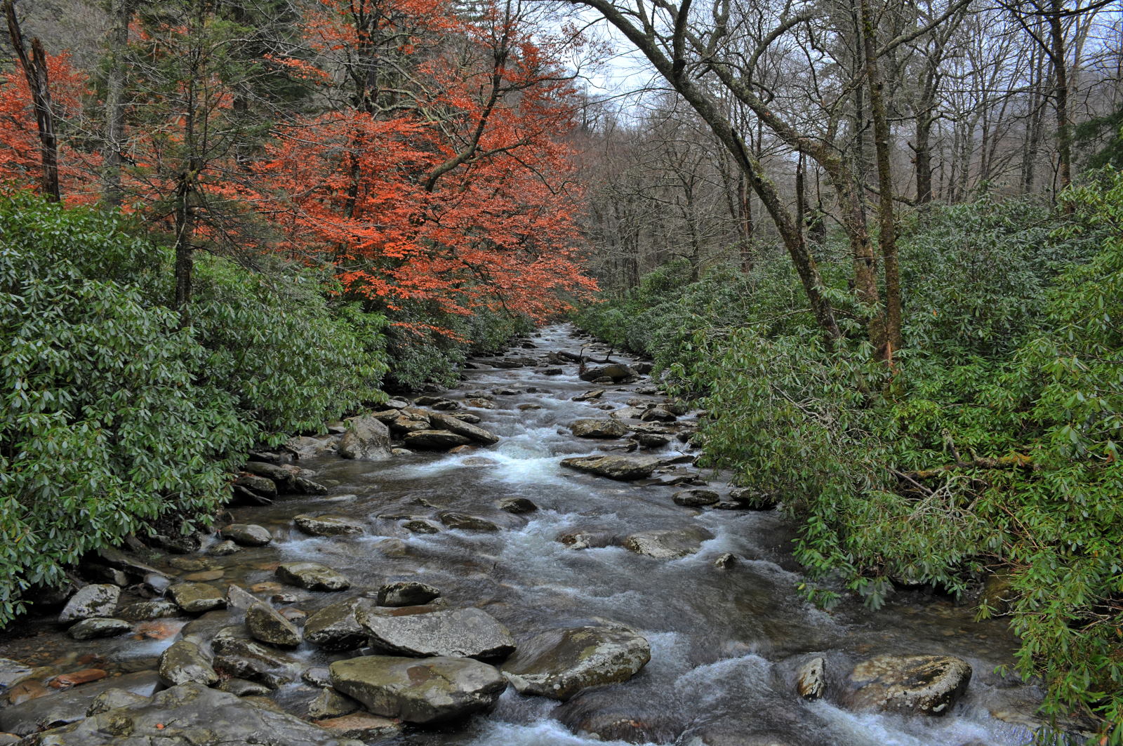
Great Smoky Mountains National Park
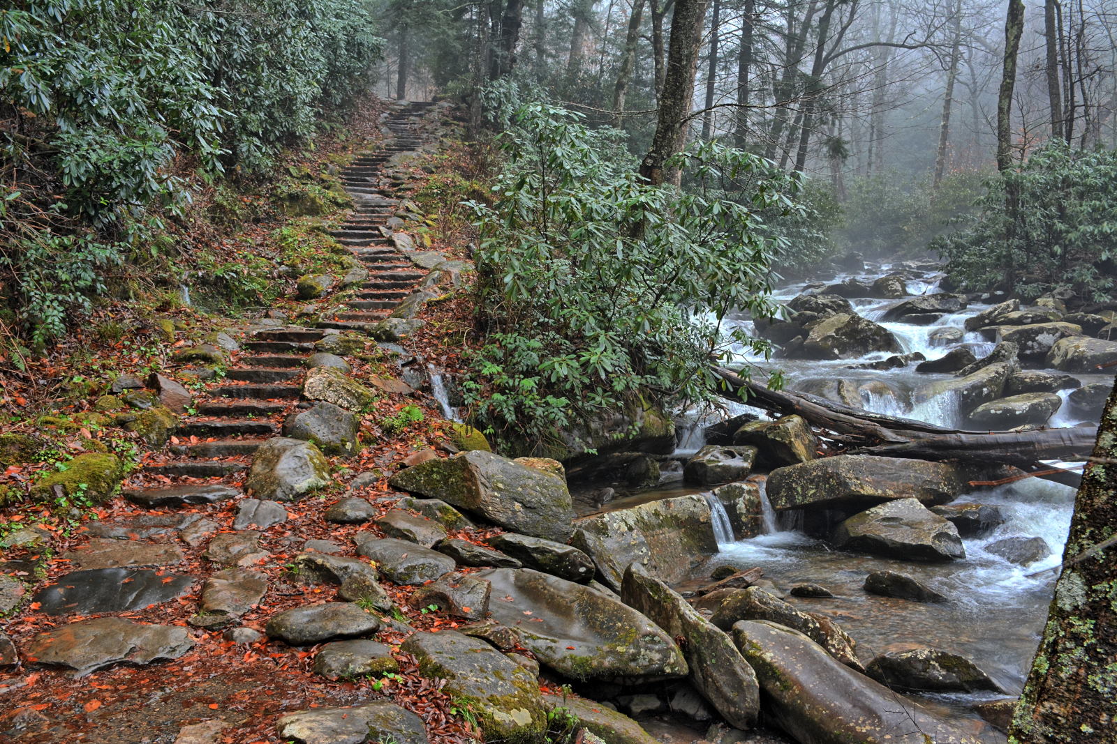
Clingmans Dome Observation Tower, Smoky Mountains
He drove on into
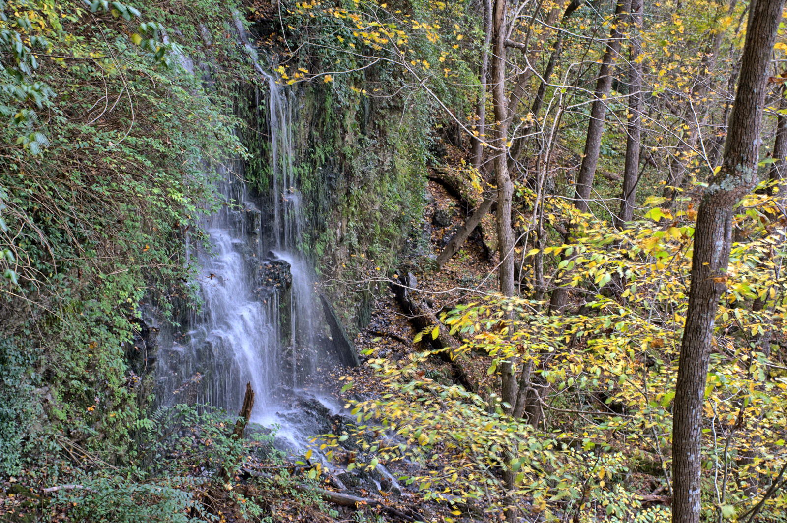
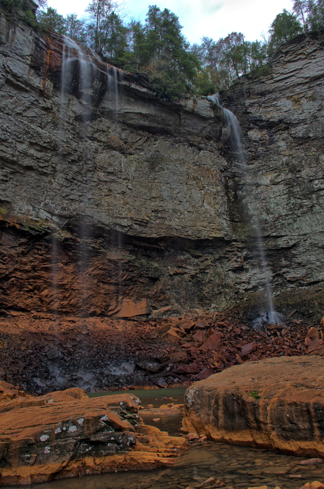
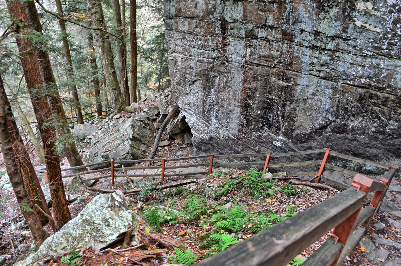
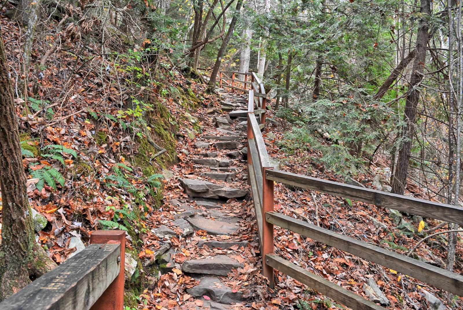
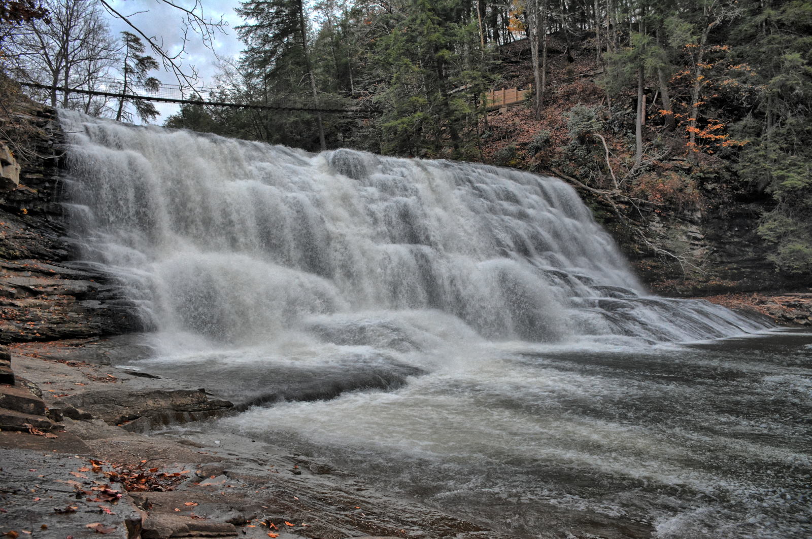
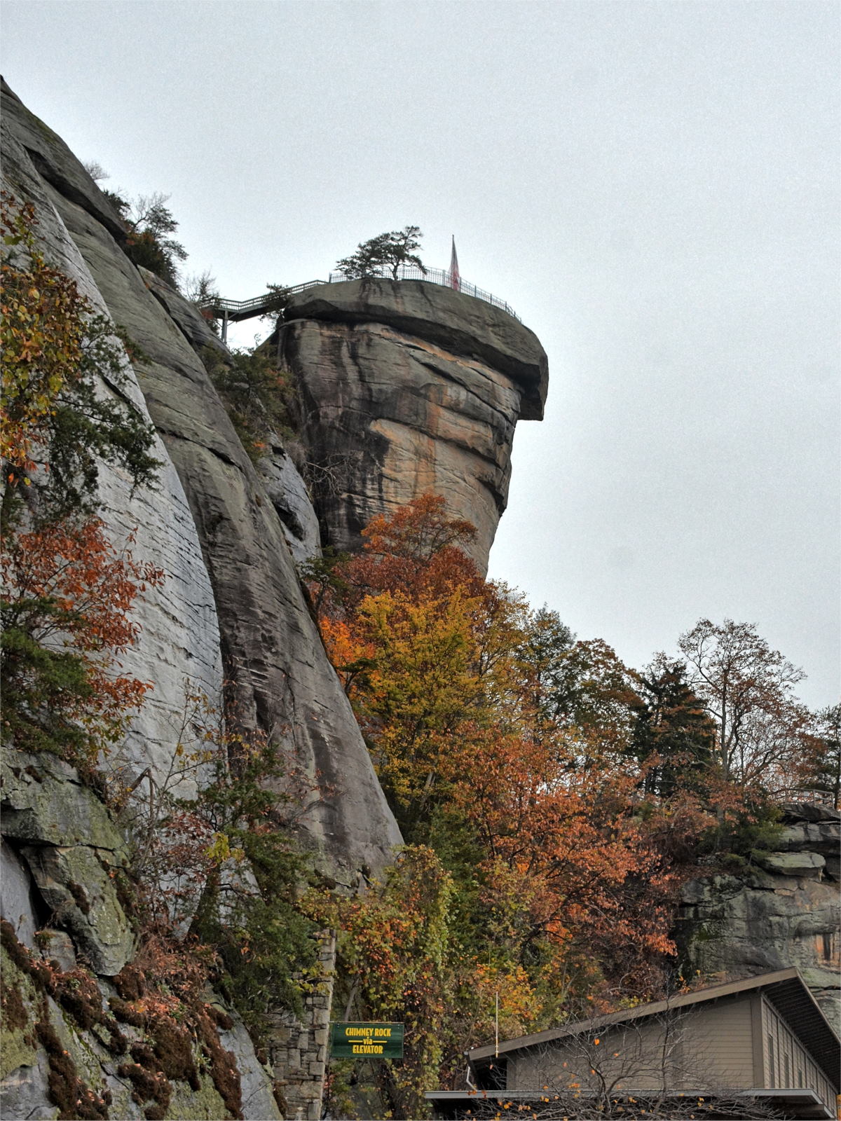
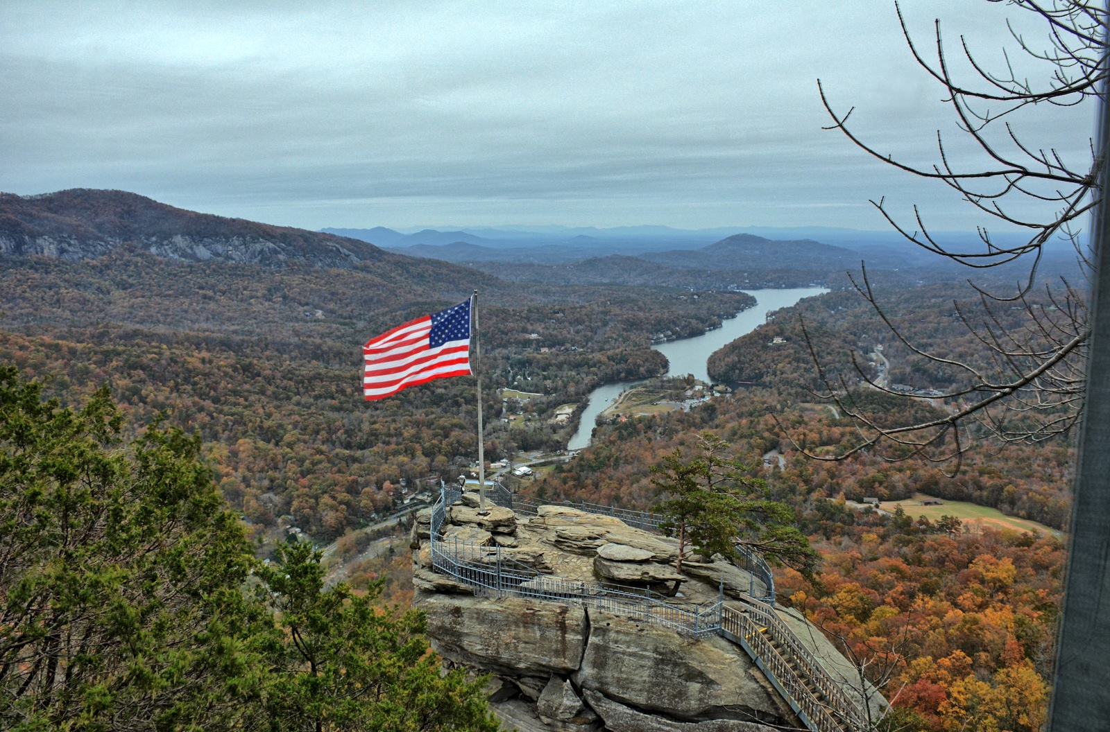
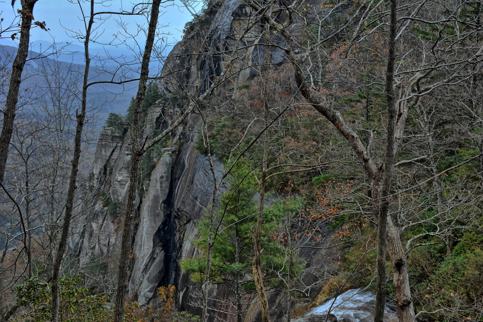
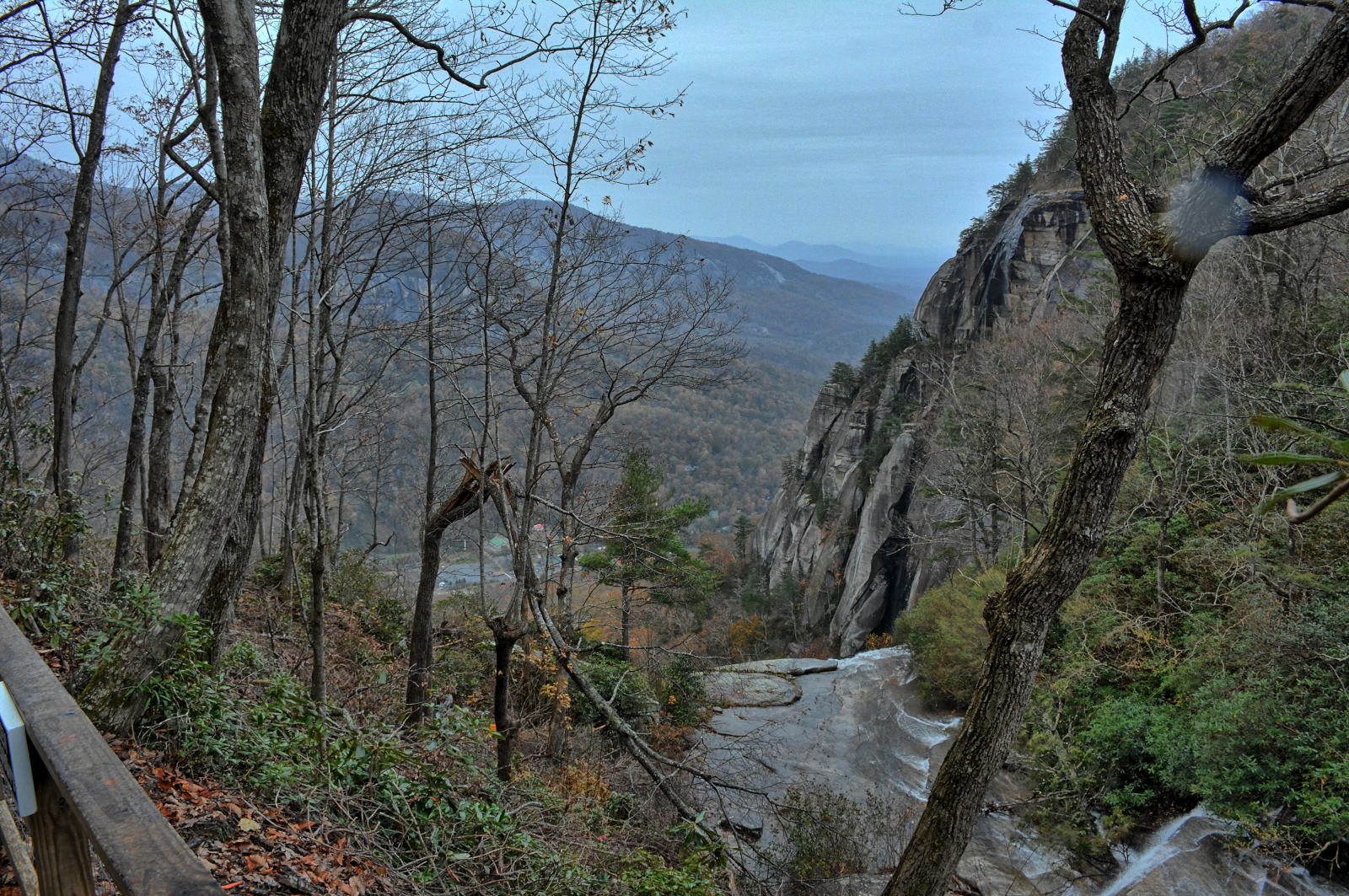
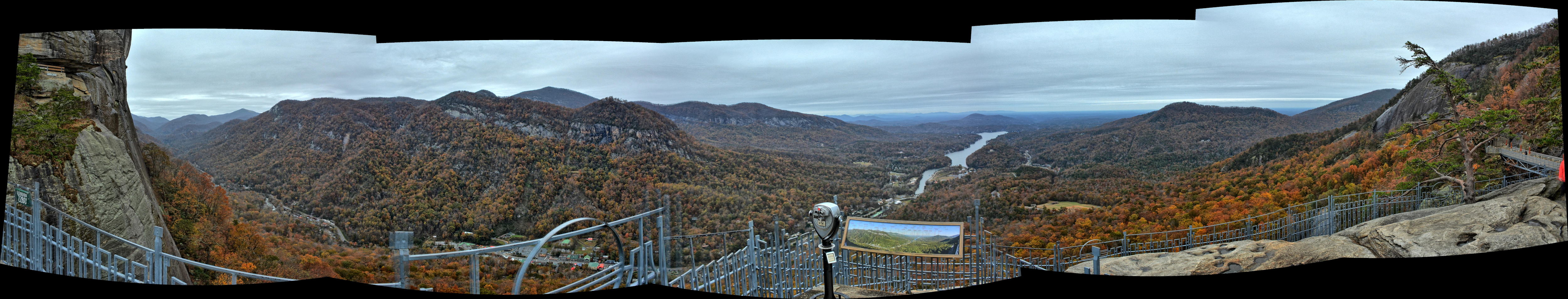
North Carolina and reached Chimney Rock State Park near Asheville in the afternoon.
The cliffs and waterfall brink below are where the final scenes of the movie 'Last Of
The Mohicans' were filmed. After
hiking for a few hours on the mountain above Chimney Rock
while recoding on his head-mounted GoPro he returned to his
car and checked the weather forecast. Rain was continuing for several more
days across the region, there was a flood warning in effect for eastern North
Carolina, and a winter storm warning for Virginia and Maryland starting early
the next morning. Rather than get stuck in a storm, Chris got in his car
and drove straight the last 520 miles to home, arriving at about 3 AM on
Thursday. The snow started on Thursday morning a few hours after he made
it home, and by the middle of the day on Thursday there was > 6 inches of snow
on the ground in northern Maryland.